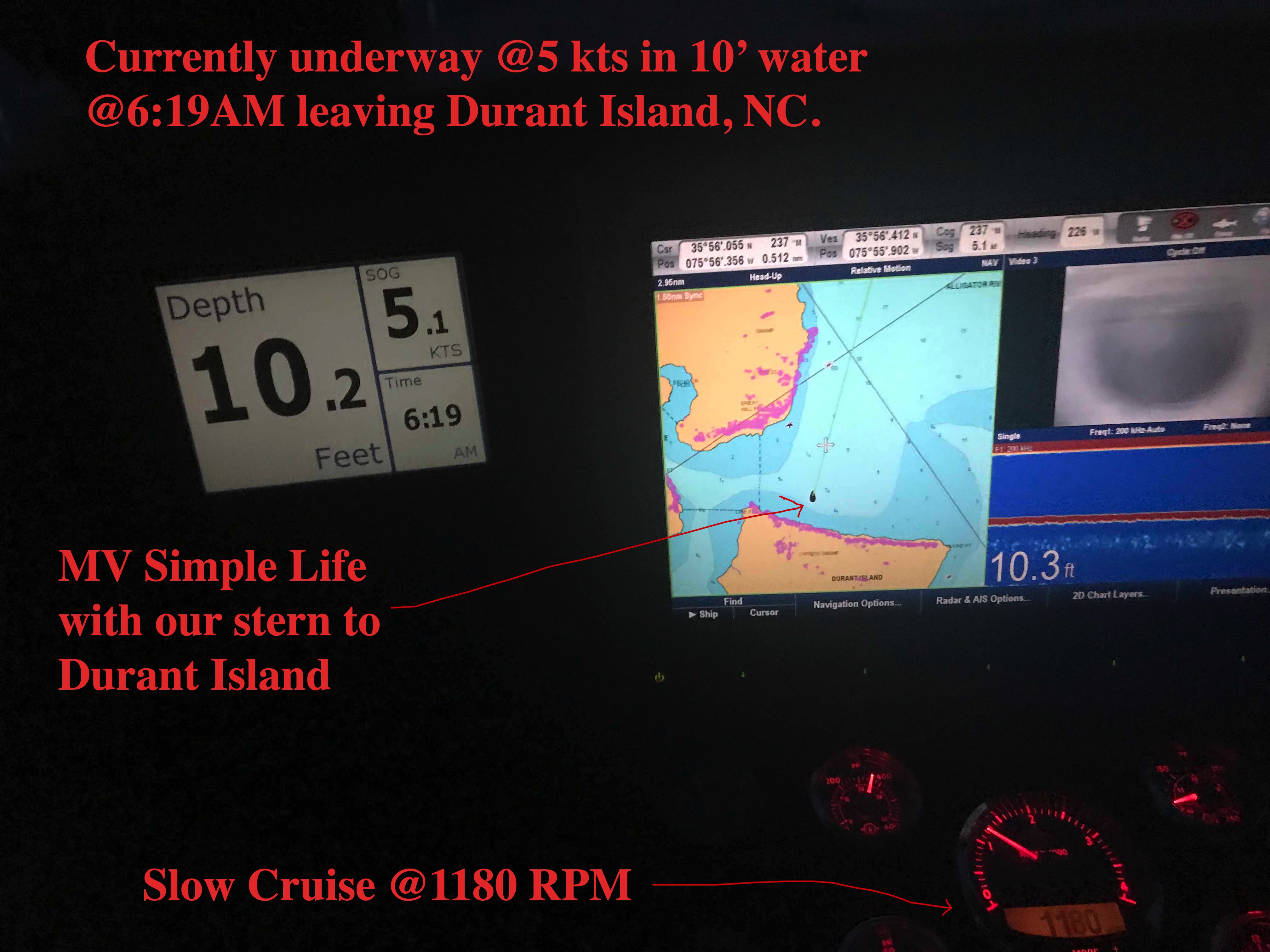
Beaufort, NC in two days requires an early departure. 6:19AM to be exact.
Planning is a big part of cruising. It starts by thinking where you would like to get to. Then you check the weather, wind speed & direction, marine forecast, sea state, etc. If the weather is bad than you must consult the crew (wife / admiral ) and get their opinion on whether to go or stay put. If you skip this step you could find yourselves in marriage counseling.
Once you know where you want to go you must ask… “How long will this take at cruising speed?”. Slower cruising speed = better MPG = $. We conservatively plan 50 NM / day if we use the 10 hours of light that late November gives us. If we want to cover 70 or even 100 NM than we’ll have to run long into the night. Here you must know your limits. After 12 hours at the helm you may find yourself coming into an unfamiliar inlet or harbor on an inky dark, moonless night with wind & waves and other hazards. (See warning above about counseling).
I find that using every charting and weather app on your phone, tablet while underway to constantly revise your plan works best. Advise your crew that “the next two hours will be a lumpy ride but soon we’ll be enjoying a drink in a peaceful anchorage for the night”.
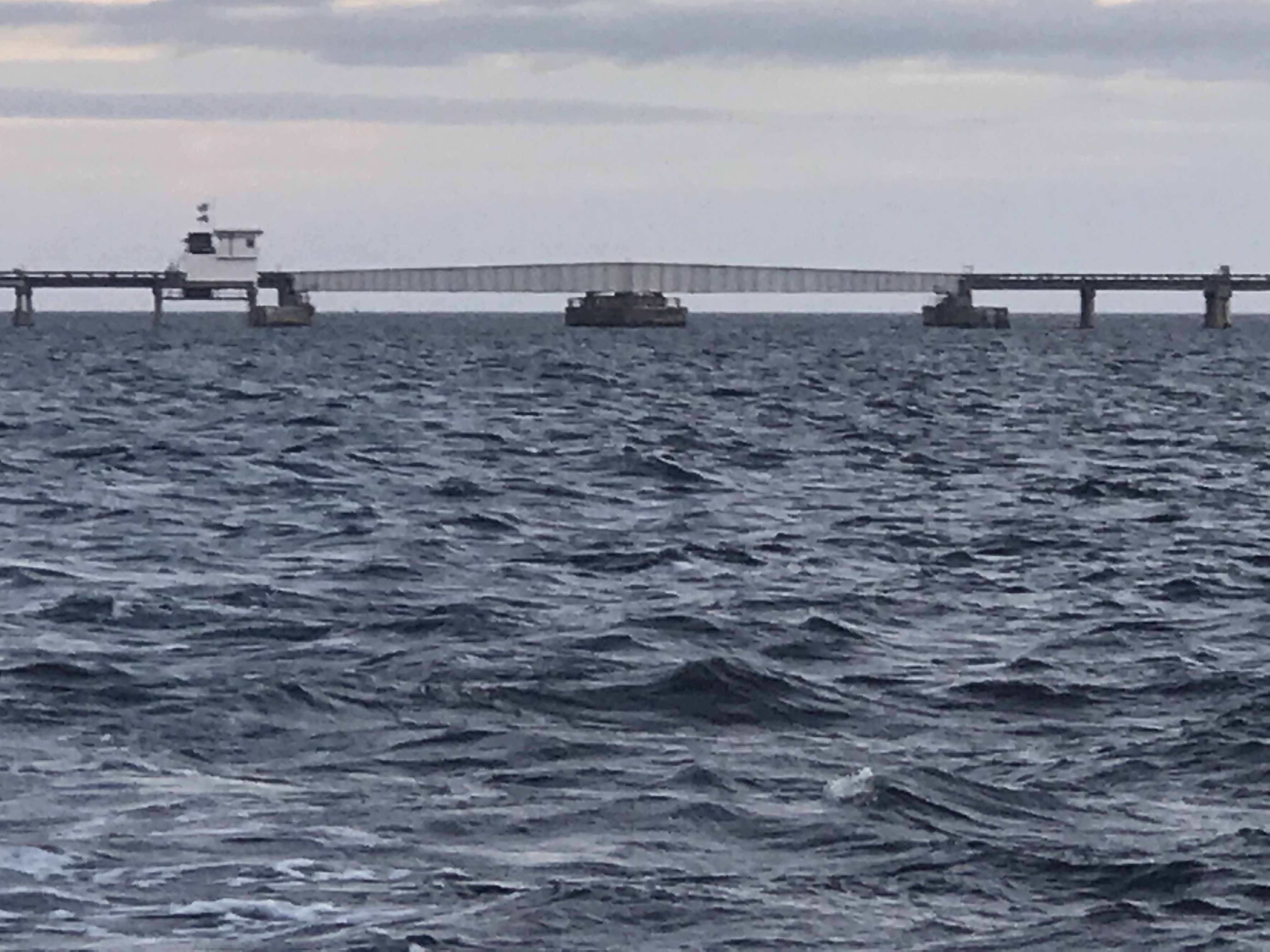
Alligator River Swing Bridge 
Underway
The Alligator River Swing bridge crosses the broad mouth of the Alligator River. It must be fun driving over this long bridge that is only 20 feet or so above the River.

Sport Fishing Yacht Kelly Lynn 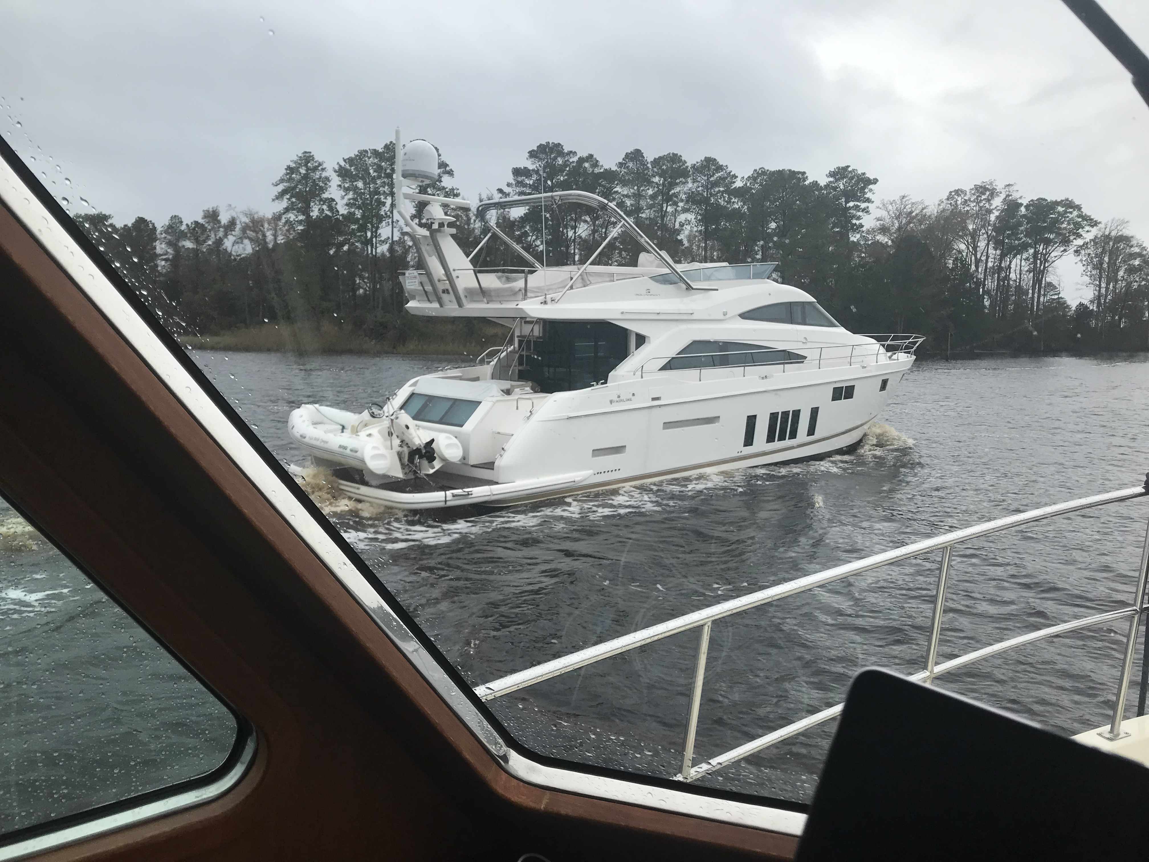
Slow Pass 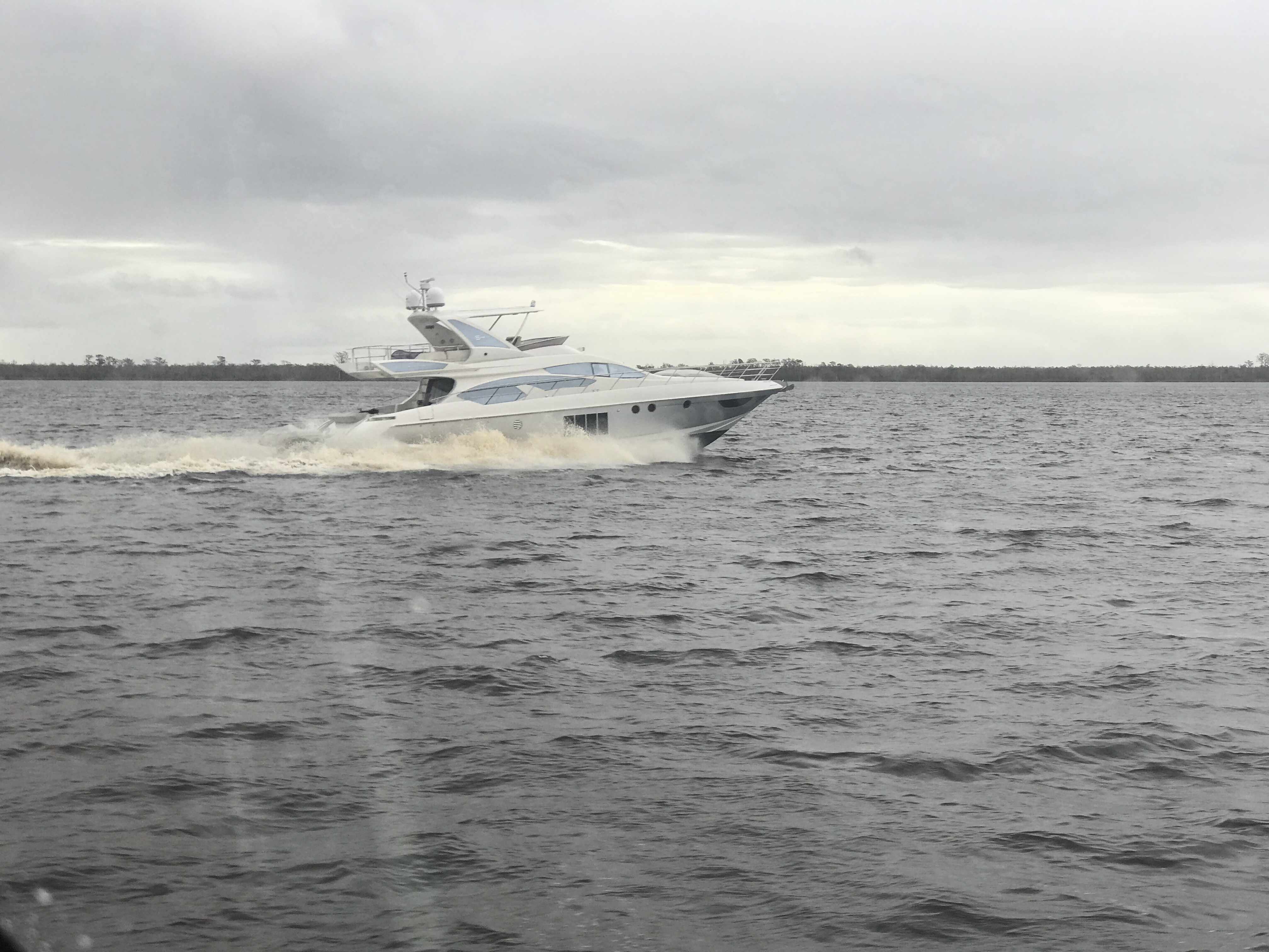
Azimut
We had to keep to starboard as our radar showed many faster yachts coming up behind us. They would zoom on by and we’d have to do a quick 90 degree turn to cut their wake or get rocked.
When you reach the Southern end of the Alligator River you enter a 20 mile long canal that was cut through the land with a laser gun. OK maybe it just looks-like the ACE (Army Corp of Engineers) used a laser gun? It’s so straight we barely need to adjust the autopilot heading.

While you are keeping an eye out for hazards like tree stumps and deadheads (trees snapped off at or near water surface), you’ll pass ICW Statute Mile markets reminding you that you have a long way to go.

ICW MM 100 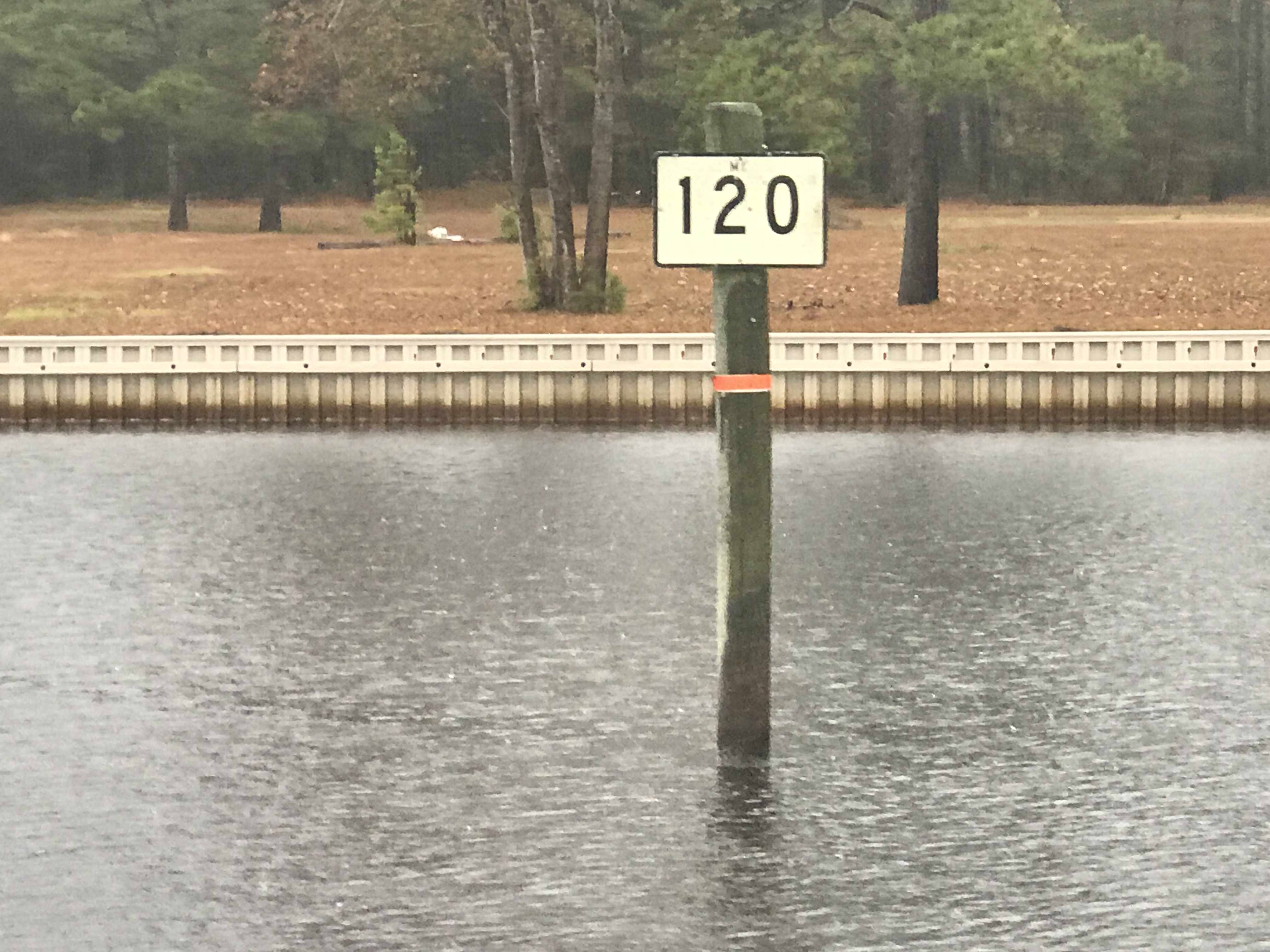
ICW MM 120
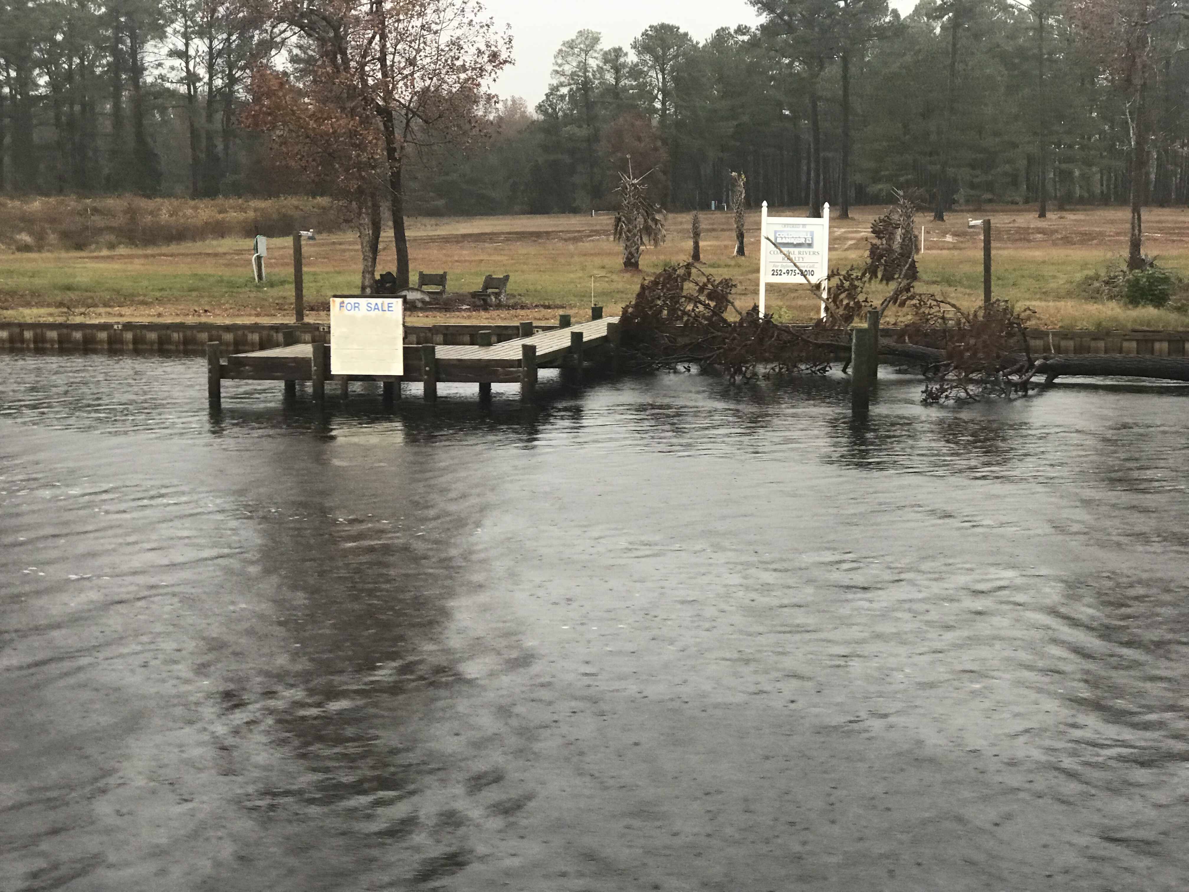
There is land for sale along the canal.
Perfect if you like duck hunting like this hunter we passes who was picking up his duck decoys.

Moving over for oncoming or passing traffic must be done carefully as outside the center of the canal you’ll run into shoals, stumps and other hazards.
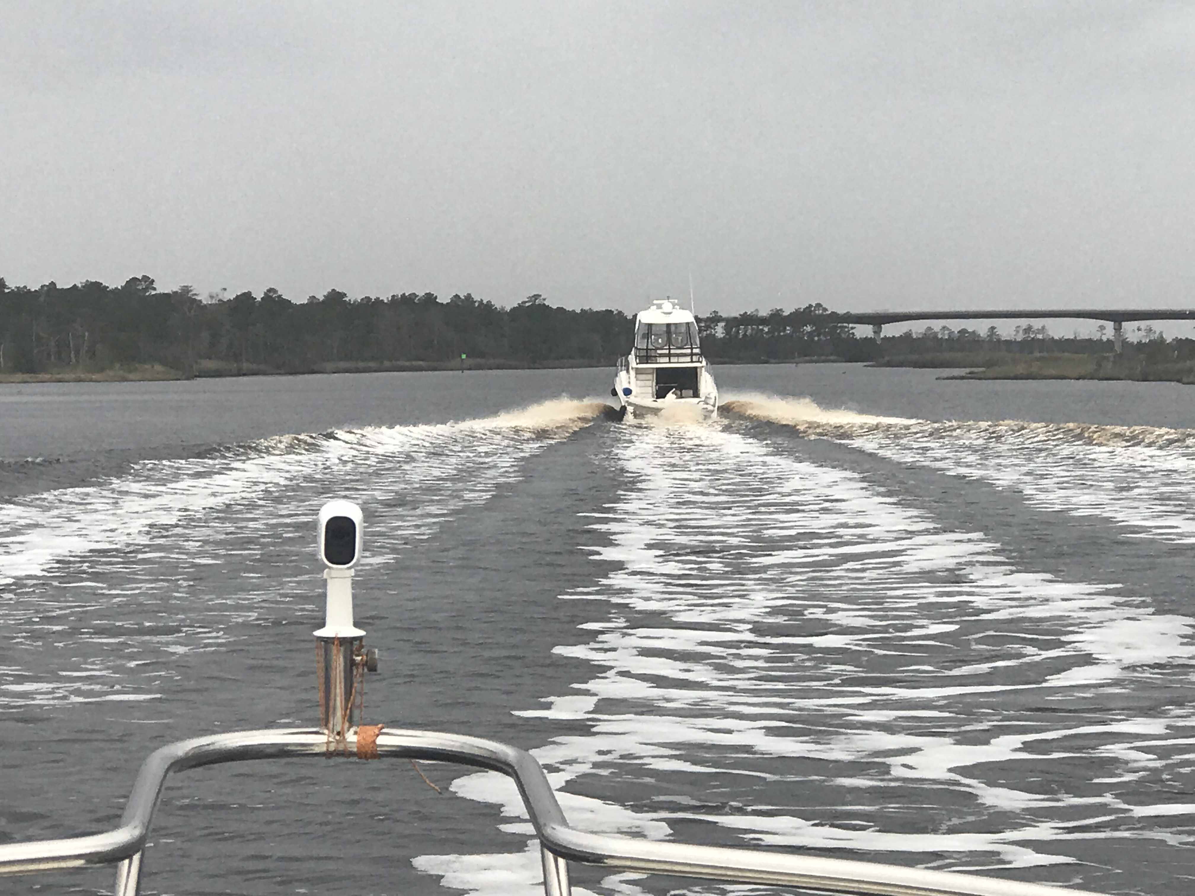
When you see a bridge like the one in the picture above you quickly grab your phone and check for a cell signal. Yup, you’ll have a signal for maybe the next mile.
It was cold and rainy but warm inside our pilothouse.
We knew from checking the wind speed & direction that when we exited the Pungo River it would be lumpy.
Soon we were tucking into Goose Creek and then again into Campbell Creek to avoid the weather. Anchored tight to the tree-lined shore in Campbell Creek we found respite from the weather.

Saturday’s leg looked something like this.

The cell signal in here is either weak or just non-existent.
