
We awoke on anchor just South of Turtle Island in SC. It’s a tiny uninhabited island that is on the Atlantic Ocean. There is hardly any light at night so the stars just pop out at you. They seem so much brighter and like you could reach up an touch them. Seeing the cosmos this way makes you realize that your consciousness is contemplating your existence on a small planet in the Milky Way galaxy. I wish there was a way to capture it in a picture but alas I have not found a way.
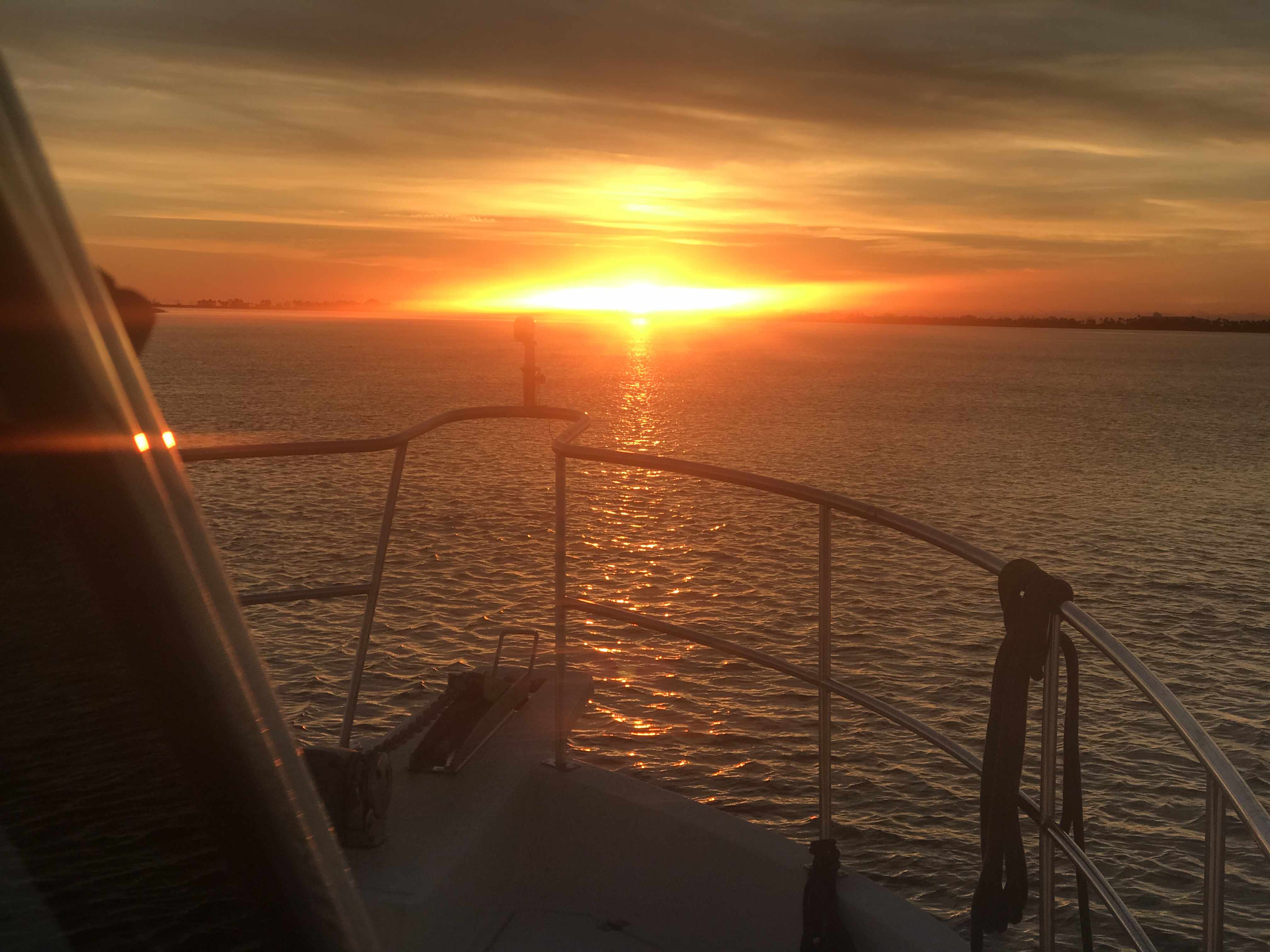
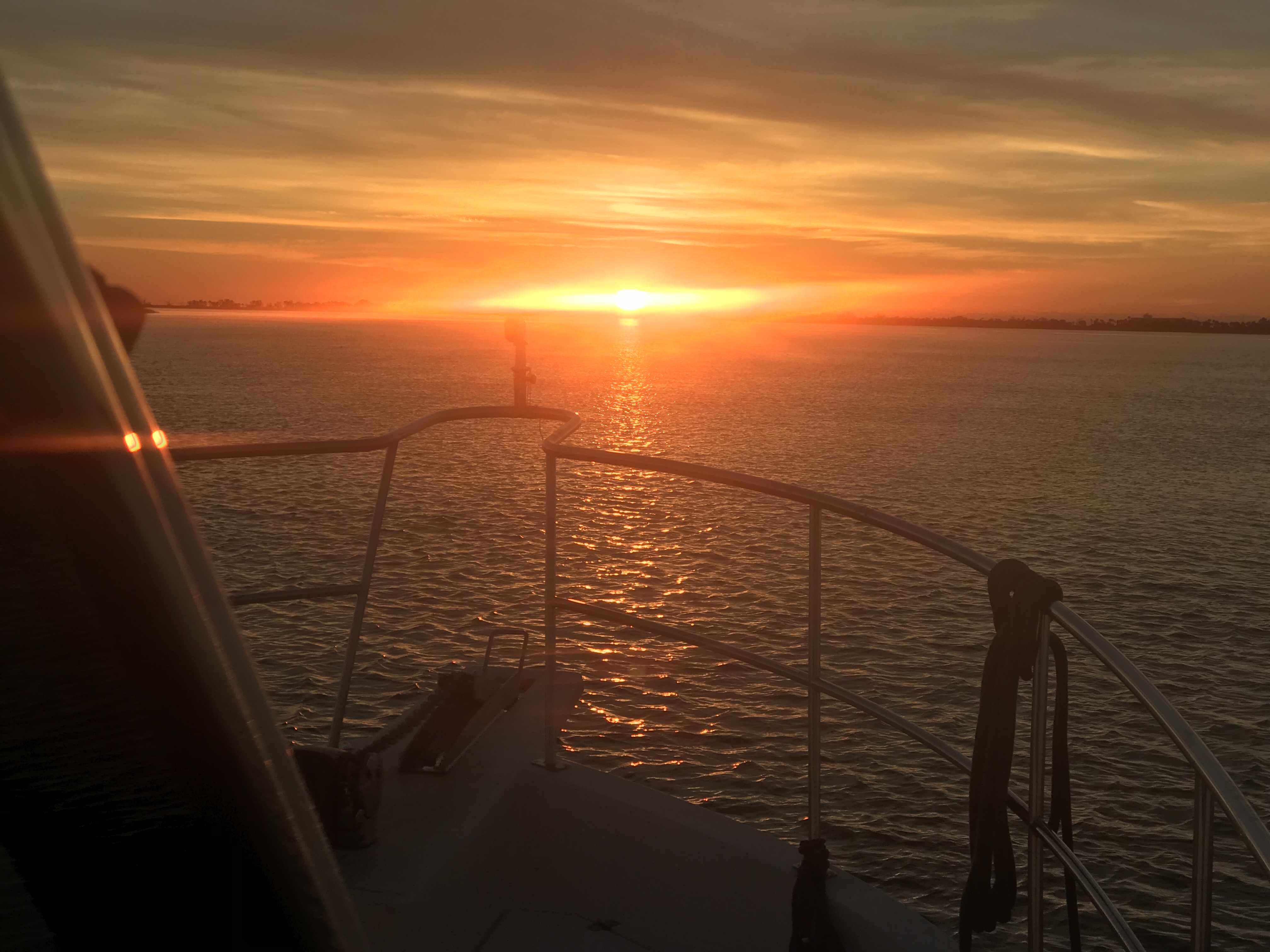
Cold. It’s F’n cold when I stand outside and watch the sunrise. It’s part of the experience but it’s also the whole reason we left New England and have been boating for the last 180 hours. Getting away from the cold means traveling further South than you would think. It’s only 36 degree as I stand out there watching the sunrise. 36 degrees and I’m on the edge of Georgia! Time to simply weigh anchor and go..

When anchored in weather like this you need a 12V heater as there are no long extension cords leading to the boat. Kelly & I installed a Espar D8LC 27K BTU diesel-fired forced-hot-air heater and mornings like this I realize we would never live on a boat without HEAT.

Georgia has enormous tides and strong currents.

We were riding an 8′ high tide so we were unstoppable. Well, I mean unstoppable in the sense we probably won’t run into a shoal and be stopped dead in our tracks.
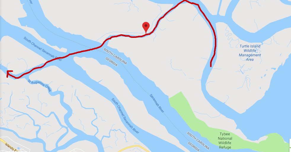
Field’s Cut is just before the ICW crosses the Savannah River and we had to cruise fast to get ahead of the oncoming container ship that just issued a ‘securite’ warning that they were on incoming on the Savannah River and approaching Fields Cut. You need to listen to these securite calls from large ships if you don’t want to wind up on the wrong end of them. We’d have snapped a photo but we were more concerned with staying out of their way. We hailed the ship and let them know that we would be crossing in front of their bow and that we would not be in their way.
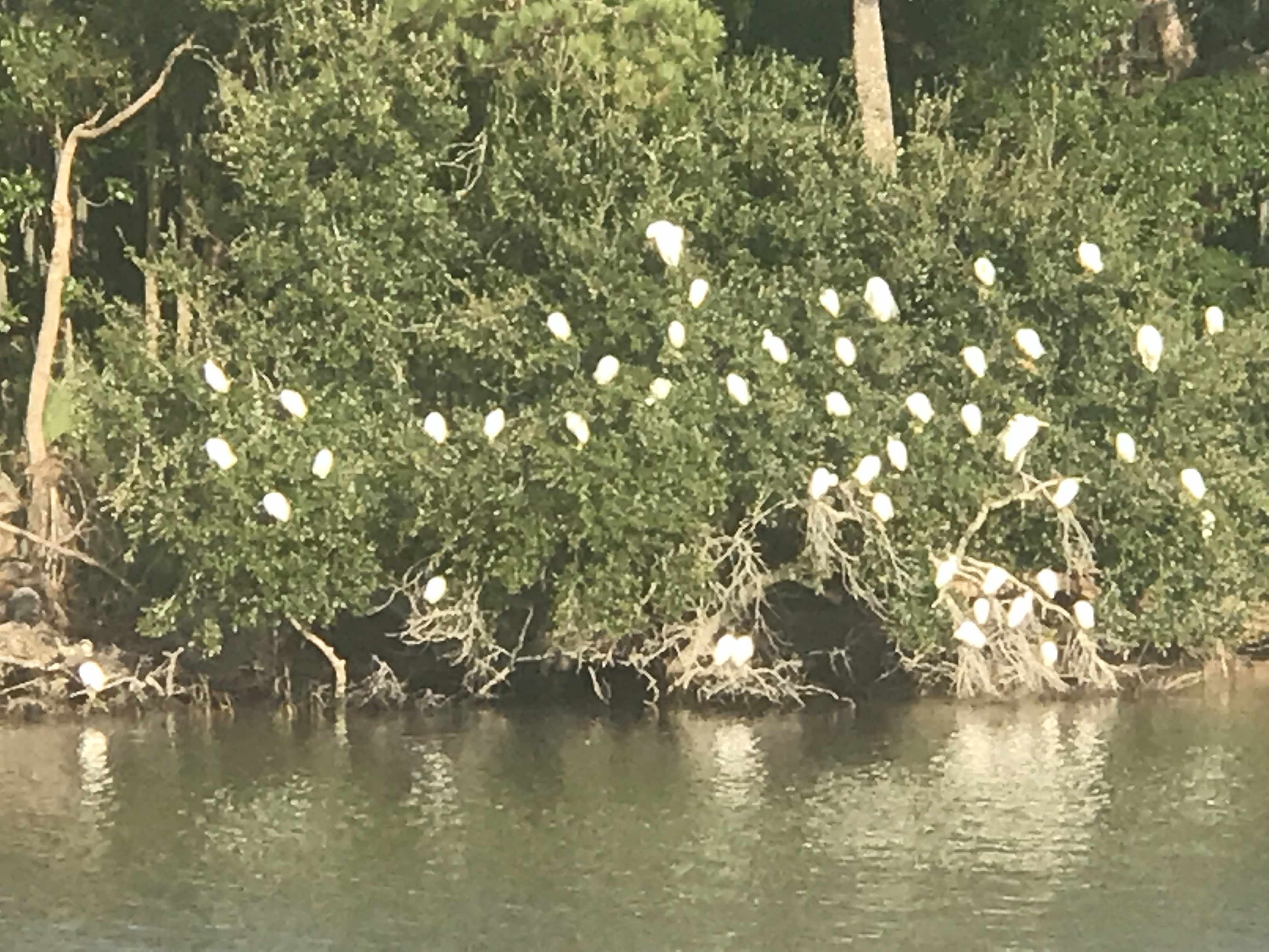
We call this picture “Bush of White Birds” cuz we so creative.
We slipped under this bridge carefully as we just fit beneath.
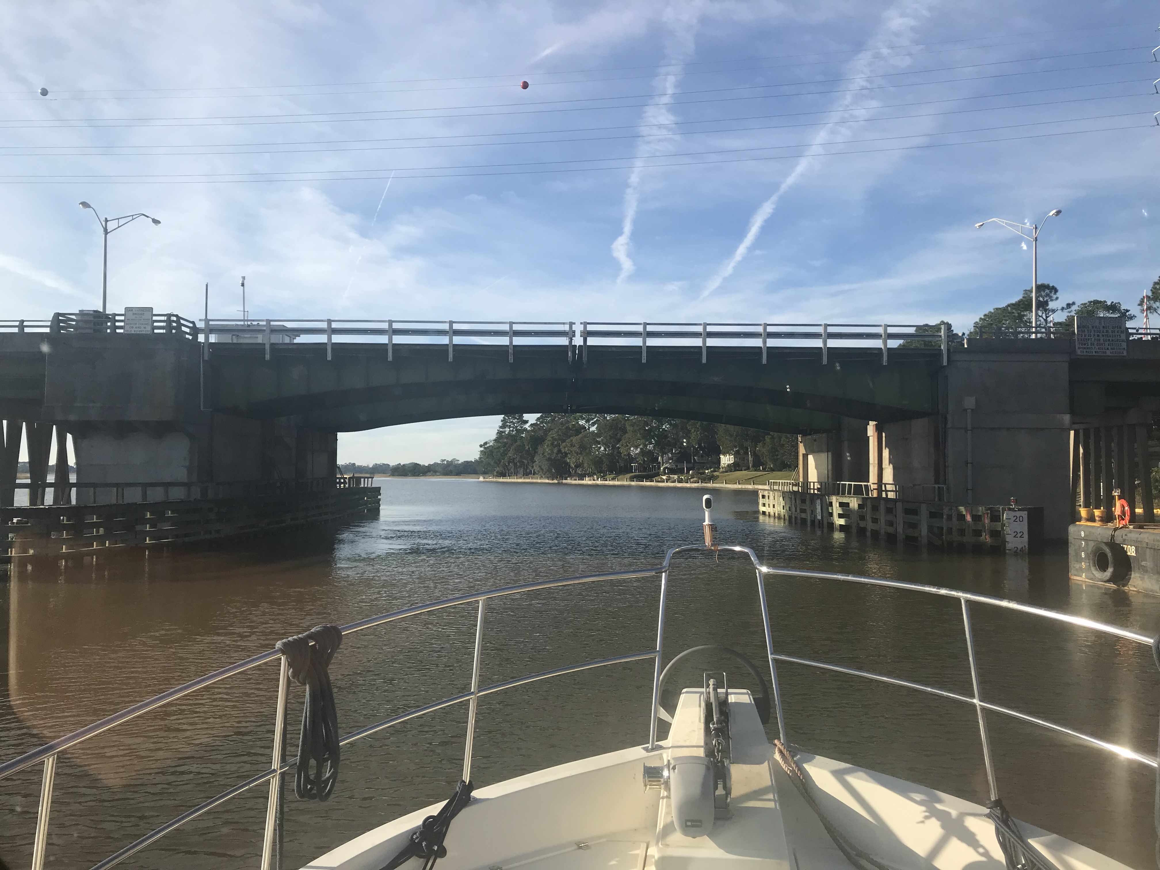

Low bridges that boat traffic must wait on openings are being replaced by tall 65′ high bridges. That’s a good thing for boaters and motorists alike.
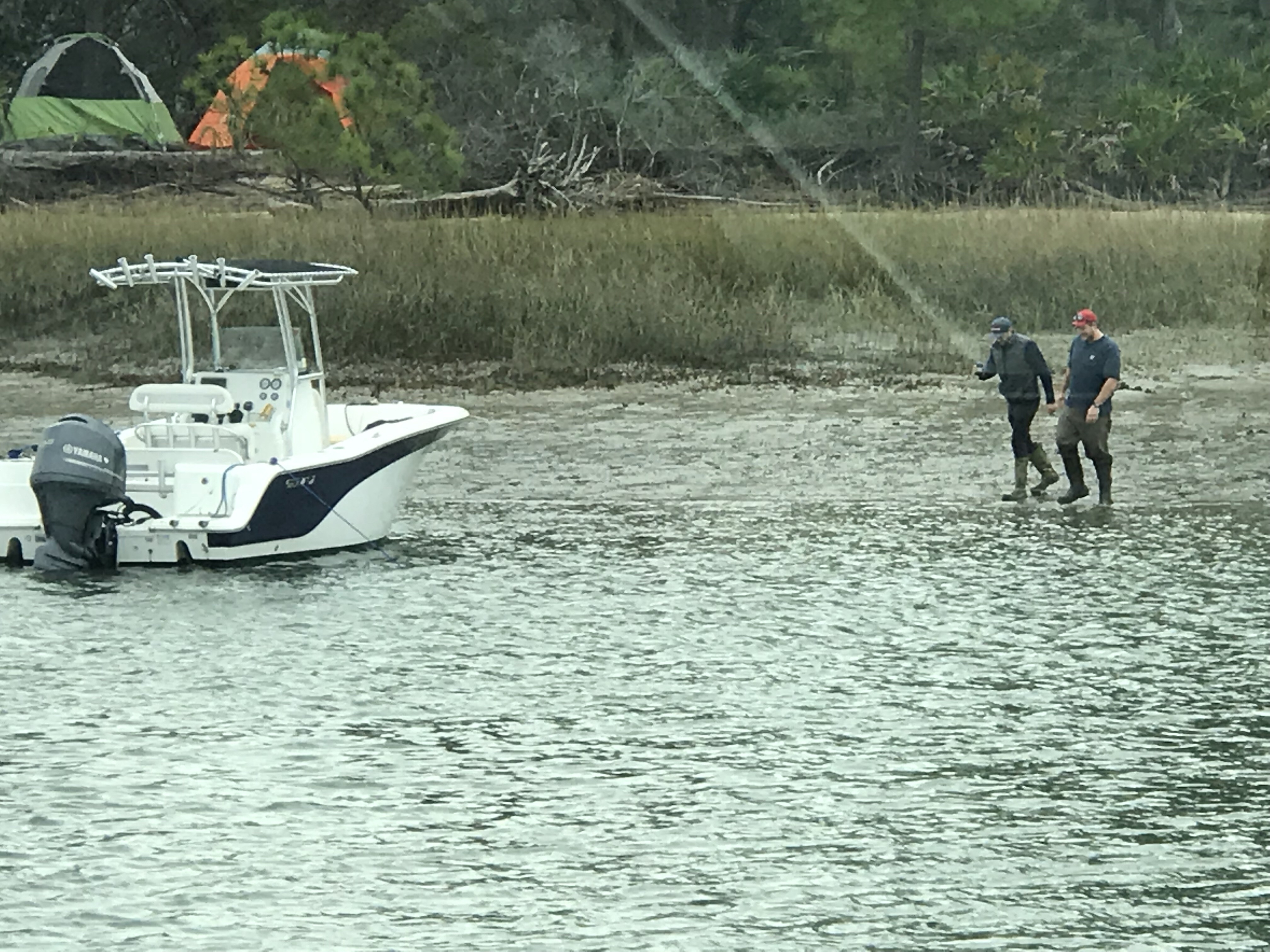
Kelly has a thing for wooden transom boats so we snapped these pics of MV Sandrita as she was being hauled via a marine travel lift. We had to slow down to no wake speed as these dock workers were trying to load her in the slings.

Going into the Slings 
Don’t you just love a Wooden transom?
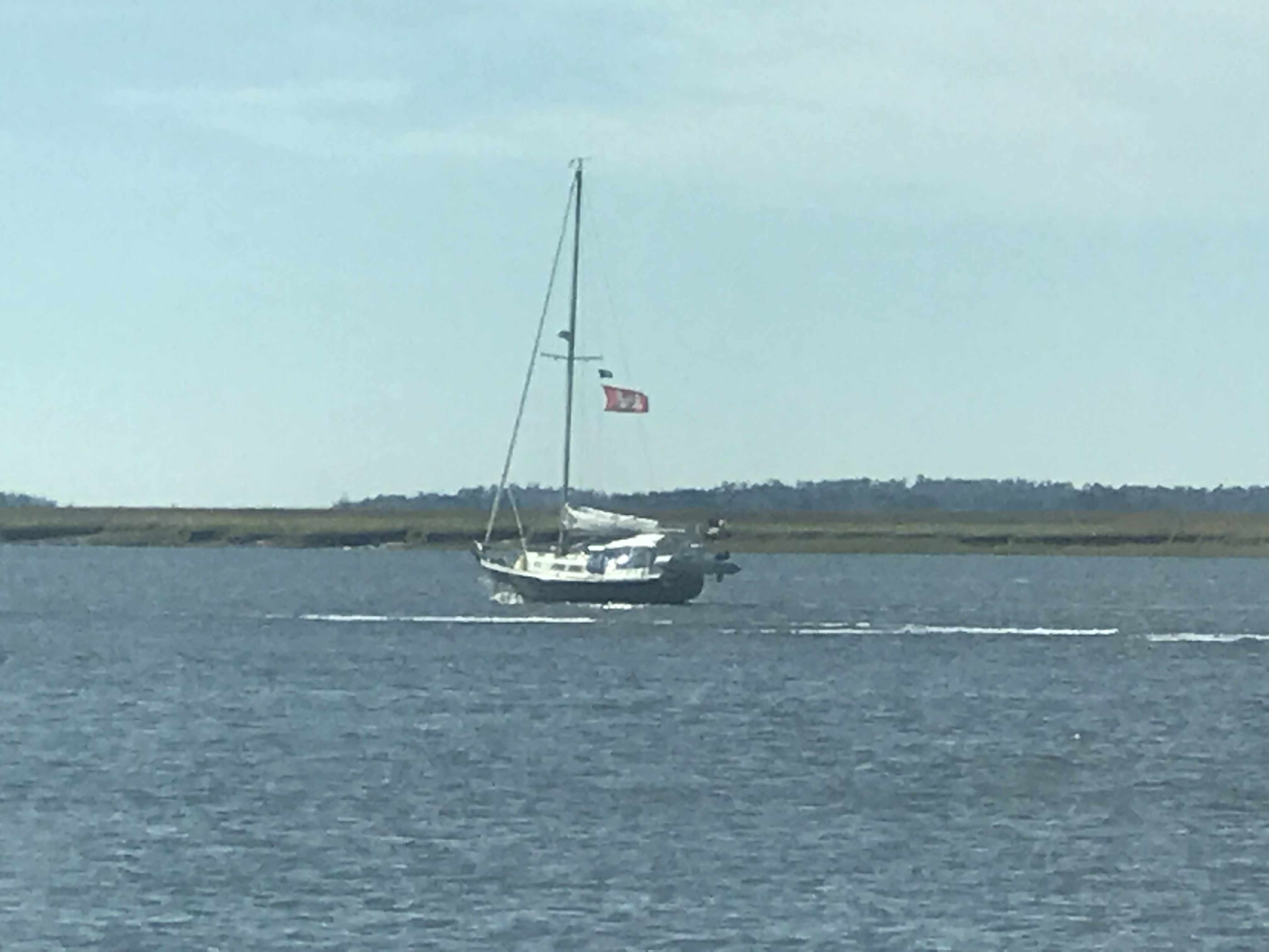
We hailed this blue-hulled sailboat to warn them they were approaching a shoal. They had already figured it out but thanked us as they backed out of the channel they were in. Captains on the water are kind and always offer help if they see another boater doing something that might get them into trouble. I’ve had captains hail me and say… Simple Life, you need to keep that red tight to port to clear that shoal”. Kelly & I feel lucky to be apart of a group that looks out for one another.
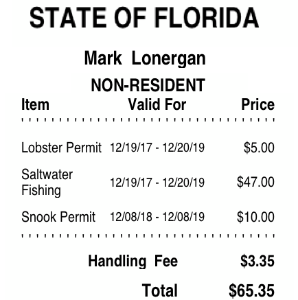
Kelly & I each bought Florida saltwater fishing licenses today. We’ll be in Florida for a minimum of 3 weeks while we prepare for our Bahamas departure.
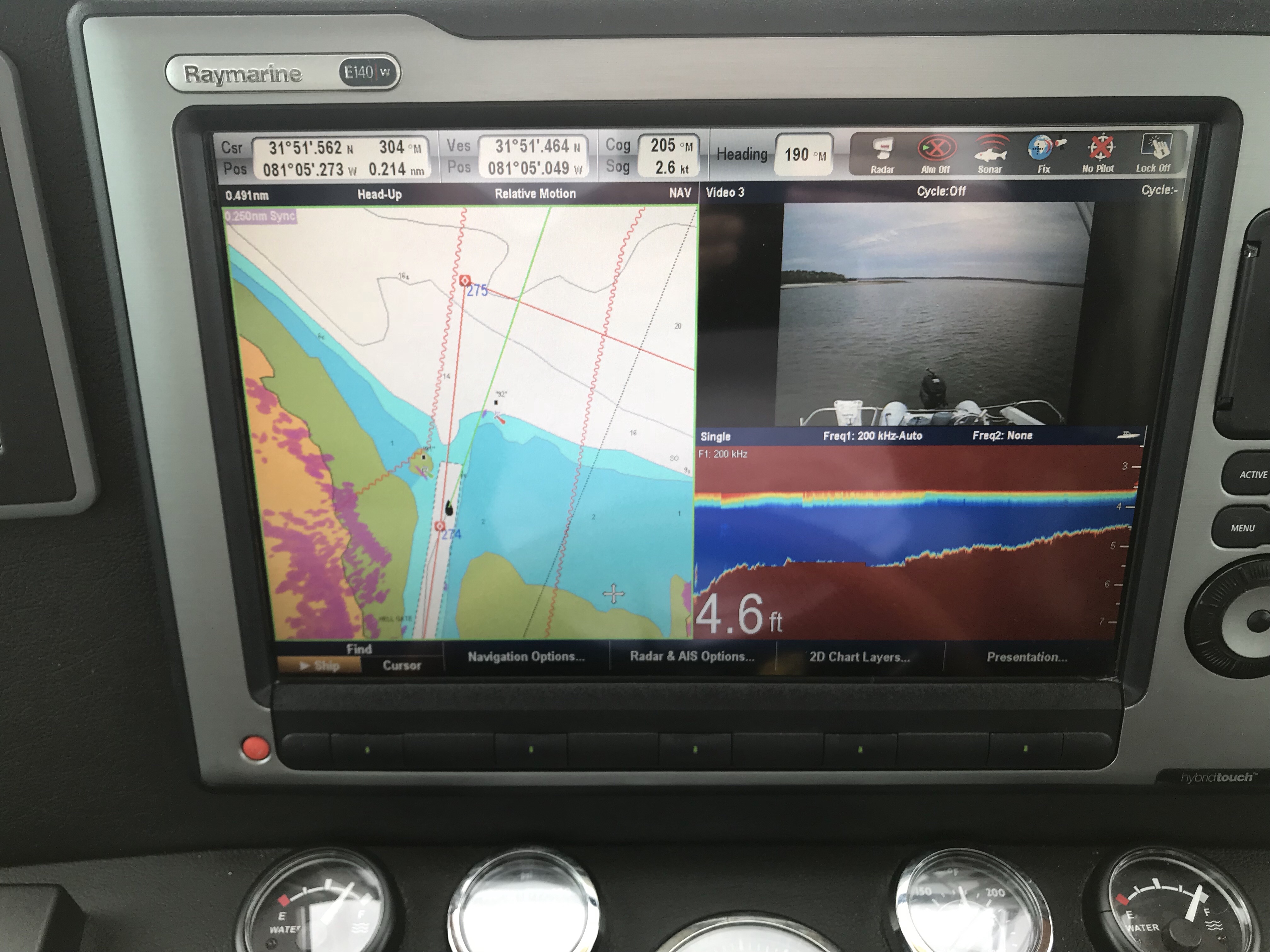
I am on many Facebook Boating groups and love the discussions about the Aqua Maps Explorer Bahamas charts. Folks complaining about the fact that they are raster (bitmap) charts vs vector charts which use math equations to draw the charts at each particular zoom level. It’s interesting to me not just because they pictured Green Turtle Cay where Kelly & I have wanted to visit but that I just am drawn to nautical charts. We hung one on the 275 gallon oil tank in our old house that we sold. It took me hours to print each individual 8″x11″ chart and piece them all together to have a huge chart of Narragansett Bay. I enjoy staring at paper charts like they are artwork for ship captains. Vector charts lack the beauty of raster (paper-style) charts.
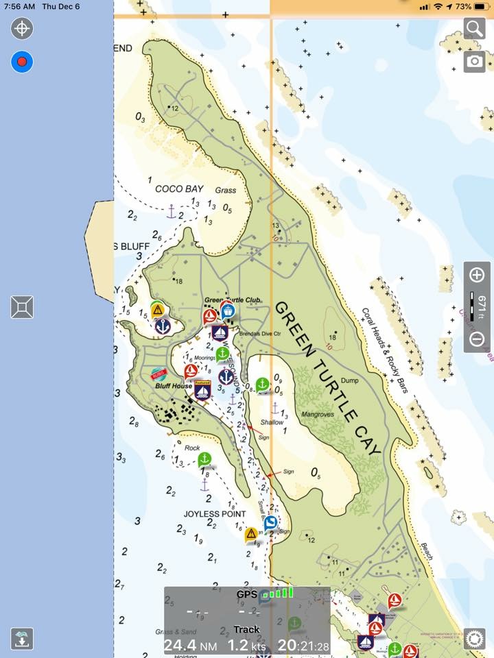
Raster Charts 
Vector Chrts
We passed a beautiful fishing trawler as we got close to our final anchor location for the night.
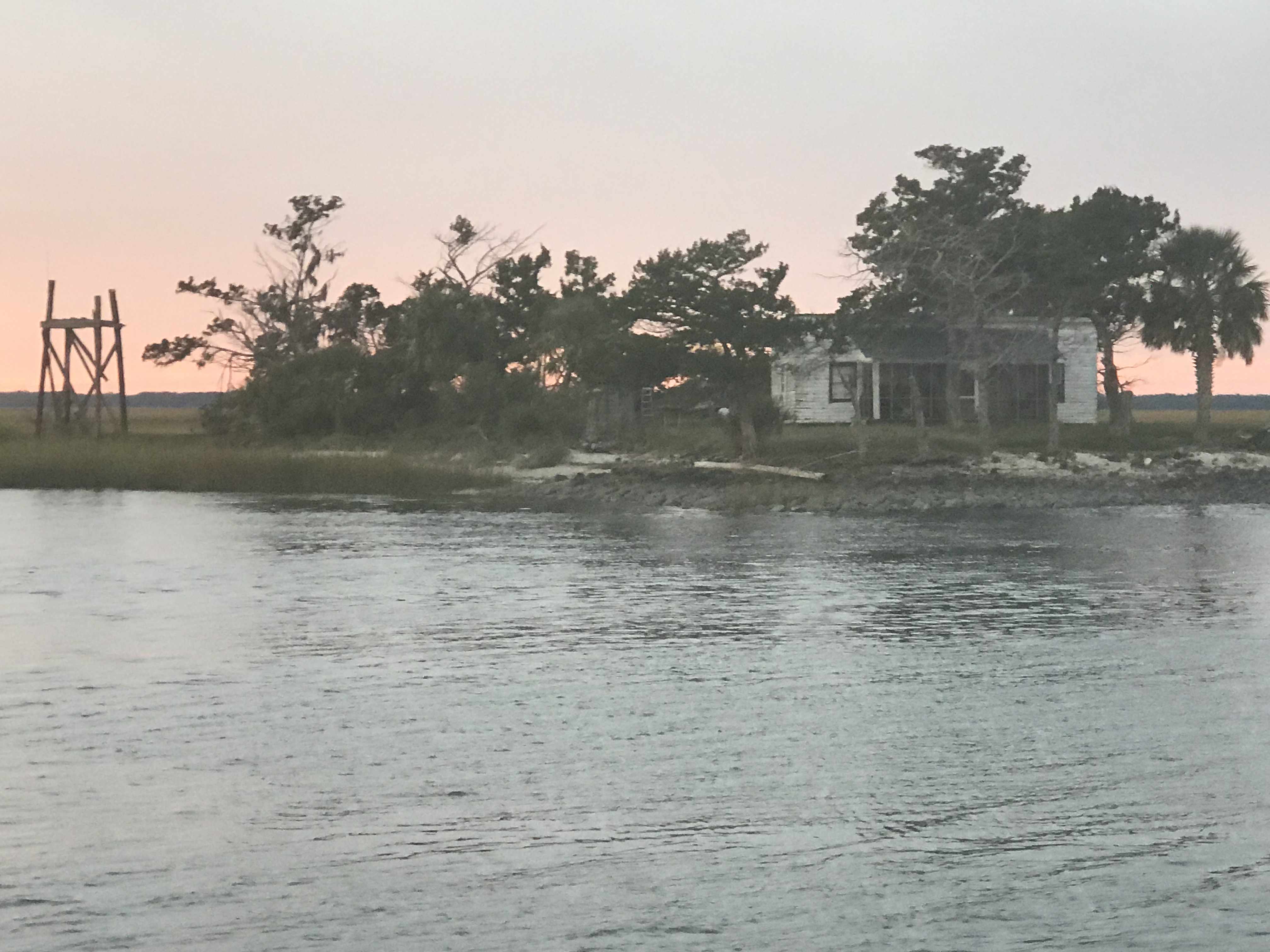
Soon we were passing this cool little house on an island along the banks of the ICW in Georgia.
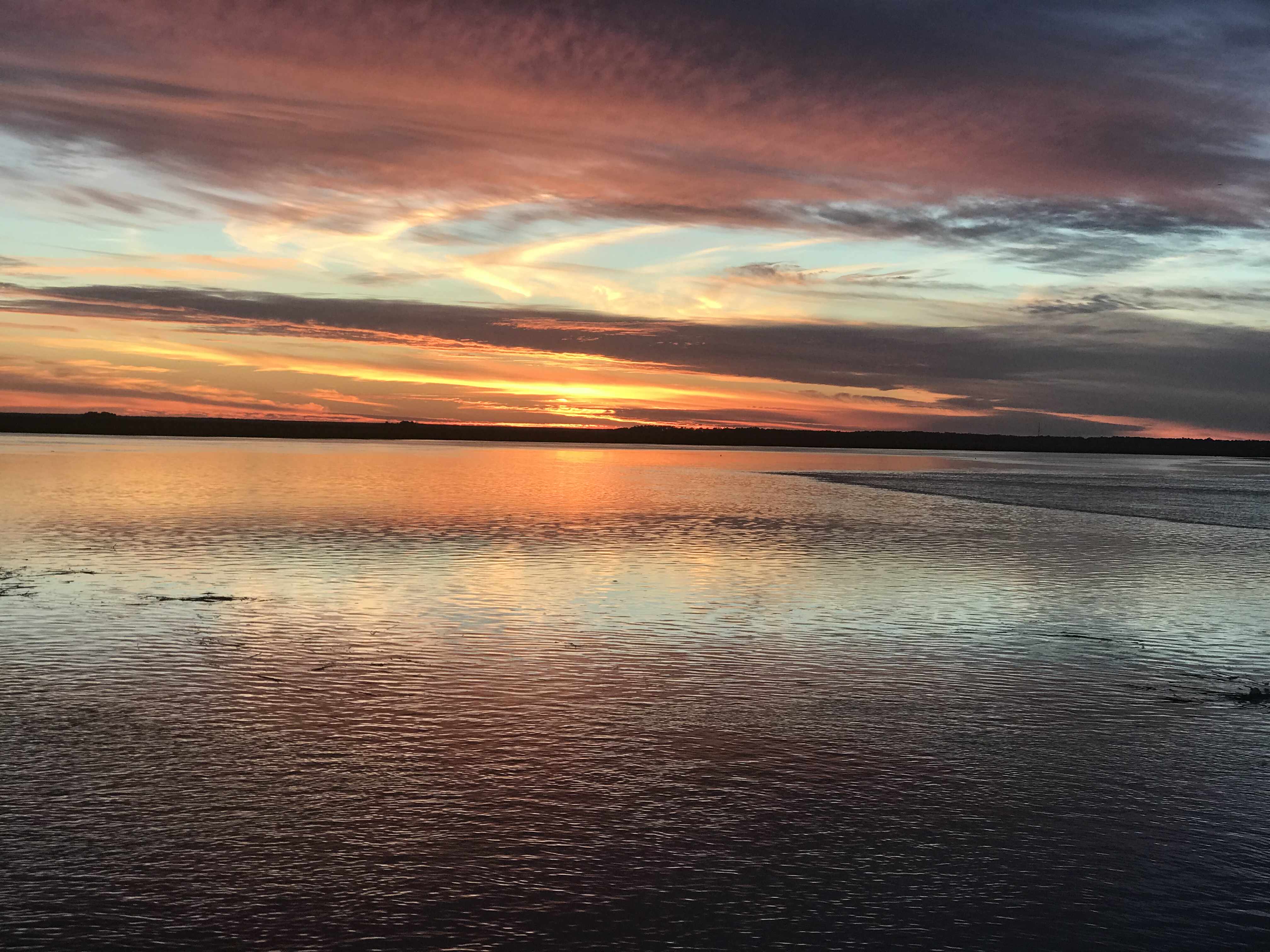
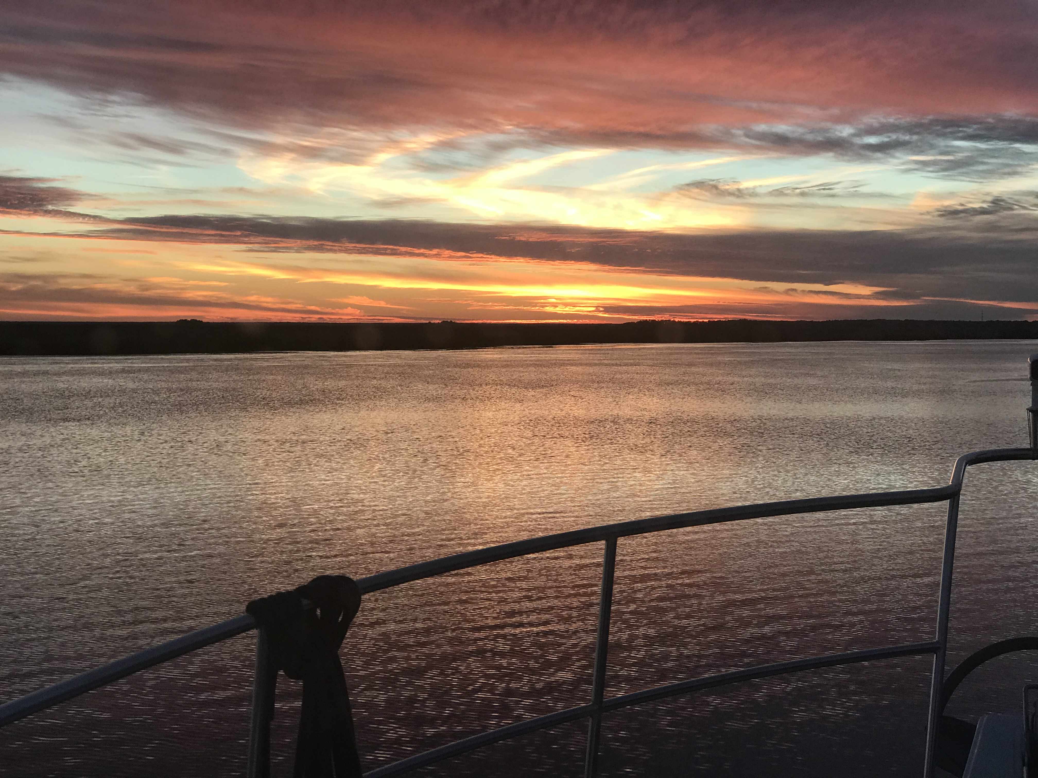
The sun was quickly setting on us and it was spectacular.


As we pulled into the creek where we’d drop our anchor for the night it was last light.

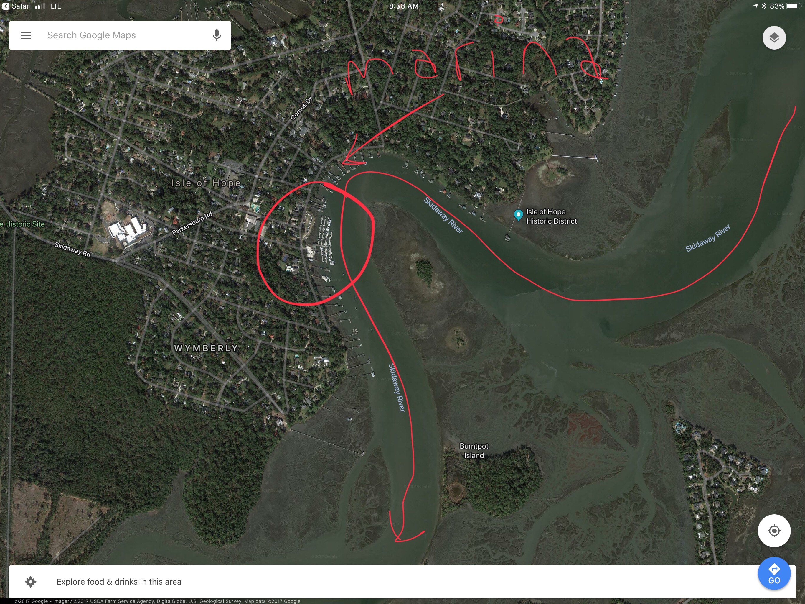
Today’s leg looked something like this… Not really as the ICW snakes its way through countless creeks in Georgia.


You must be logged in to post a comment.