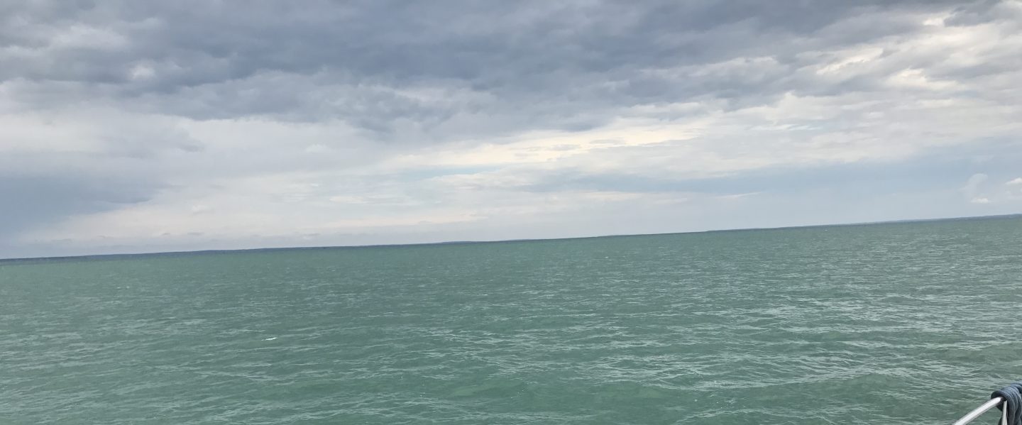
We left Palm Beach in the morning and continued South down the ICW. I had plotted a short leg and that turned out to be a good thing as we were getting a late start and would encounter many ‘restricted’ bascule bridges that only open at set times after the hour.
Come on bridge.. open
Just starting
OK go quicker before we trim off the flybridge
We past several bars that looked like fun places to tie up for a bit.
No signage on restaurant but still packed
Banana Boat restaurant in Boynton Beach
There was lots of traffic on the ICW and we watched many boats pass us.
More wave runner ladies
What you don’t want to go 6 knots?
Bluefoot pirate boat
We also saw many boats just tied up in front of amazing homes.
MV Checked Out a 96′ Westport
Who needs 5 Outboards
Cabochon – a polished but un-faceted gem
MV Sexy – I’m not sure about the red painted electronics
Can you put a whale tail on my yacht?
And I could have snapped 100 pictures of just amazing homes and beautiful architecture.
Just the right amount of palm trees
Love the open air arched structures
Corner lot anyone?
I’ll take my ceilings vaulted
amazing wall of windows with the blinds pulled. Solarium anyone?
Nice iron work
Then there was this.. Hey Mom & Dad can I have a water slide setup in the back yard for my 8th birthday?
Umm.. I think you slide is taller than your home.
The flag below @ half mast reminded Kelly & I that we are only 12 miles or so from the school shooting in Parkland, FL. When will this new form of violence cease? I believe that all human consciousness needs to communicate. We all need to look after each other to remain healthy. Example: when a child is bullied/alienated in school (or a coworker @work) that is the time that people need to reach out with kindness and listen. We are all connected via social media and it will either save us or tear us apart, be kind.
Flag @ half mast
As we sit in the aft cockpit and take in the day the sun is setting between two high-rise buildings.
Sunset between the high-rise buildings
and we watched as the sun climbed high on the tall buildings before disappearing.
We weighed anchor about 8:30AM and pushed hard all the way to New Smyrna, FL.
48 nautical miles is a long run for us. We ran at about 2.0 Gal/Hr @ 7km/hr. We started with the current with us, then against us and finally with us again.
I read in Active Captain that they offered free tours of this fort. I wish we had more time (maybe on the return trip?).
Today’s trip took us by Daytona Beach and it was full of beautiful houses.
Who are these people who have homes in such a beautiful place?
Along the way Kelly & I tried our best to capture some of the birds that flew by.
We saw an airport that was pretty busy with small planes taking off or landing every few minutes.
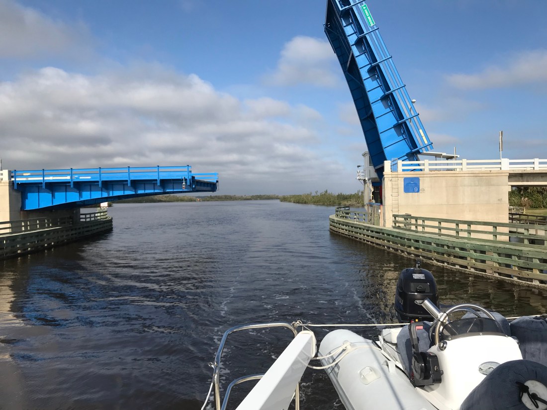
The bridges were many but most opened on demand. This bridge was the first that only opened on one side. As you pass under you worry that you wont hit the bottom of the bridge or the unopened edge.
There were some nice bike / walking paths along the waterway and this woman and her dog were enjoying the day.
We anchored along the side of the ICW alongside everal other boats and now it’s time to play some music, bake some cookies and drift off.
Just before weighing anchor at Turtle Island we snapped one last panoramic picture (below)
The trip down the ICW to St. Catherine’s Island was made a bit more difficult by the 7+ foot tides that were running into low.
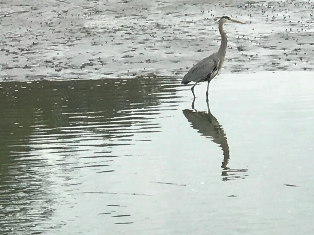
Of course you don’t need the depth finder to see where the shallows are; it’s where the birds are standing rather than floating.
I snapped the below picture as we ducked under this 30′ bascule bridge as Kelly piloted the boat.
Yesterday’s trip took us across the line into Georgia and past the Savannah River. We had a moment when we passed the marina where 12 years earlier we purchased our previous sailboat, Skull & Swords.
Isle of Hope Marina is on a bight along the ICW’s Skidaway River.
All points South of Isle of Hope Marina are new cruising grounds for us. Some of what we saw was bird life such as this unidentifiable bird of prey.
Or this stalker of the shallows:
We passed these guys who decided to pitch tents along the shore rather than sleep aboard.
Today’s trip will take us from St. Catherine’s Island to somewhere around Sapelo Island
We are going anchor to anchor over the next few days to find the sun. These unseasonably cold mornings (in the 40’s) are continuing to bedevil us.
That said, I needed to solve the riddle of who destroyed our porch pumpkin back home.
We searched through our home surveillance footage and nabbed the suspects.
We are leaving St. James Plantation Marina in Southport, NC this morning but made a promise to come back and spend more time with our friends Jim & Wende. They were very gracious hosts while we were here and we got to share in the experience of being in a “private town”. So very interesting though I must say Kelly & I will have to investigate exactly what that means?
Thanks Jim & Wende, you showed us a great night off the boat and we promise to come back and spend more time.
The night before we had anchored in Sloop Point, NC and the trip down to Southport was an interesting one. We saw heavy equipment dredging around what looked like a new pier going in. I know what salt water does to steel and I still shudder at the thought of dipping an excavator’s arm into salty water. I’m sure the water in the ICW is brackish but still.
I was checking my ICW bridge list and realized that I would not make the Figure Eight Swing Bridge in time for their restricted opening time. This meant that I would be waiting for the next opening. However the bridge tender who I had hailed on the VHF asked me about my air-draft. Your “draft” is your vessels depth in the water and your “air-draft” is your vessel’s height above the water. I replied that I believed it was somewhere between 21-22 feet. The bridge tender remarked that he currently had 22′ of clearance. Every bridge along the ICW has a “height board” that is partially submerged under the water with height markers at the waterline. While all bridges on your nautical charts will list their height at an average high tide, the actual vertical clearance varies with the height of the water. The bridge tender offered to come out of his office and stand under the bridge to check my clearance if I wished to approach the bridge slowly. This can be a tricky maneuver as there was a current pushing Simple Life toward the bridge. I slowly edged the boat idling in reverse to the bridge and bridge tender assured me that I had a good 6″ of gap between the top of our boat and the bottom of the bridge. MV Simple Life’s air-draft is 21′ 6″.
Below is a stock photo of the Figure Eight Swing Bridge as I was too busy at the helm to snap pictures. You can see I circled the “height board” and at the time this picture was taken there was slightly less water under the bridge giving even more clearance than the 22′ we had the other day.
Just a few more miles down the ICW and we had to pass through the Wrightsville Beach Bascule Bridge located at statute mile 278 along the ICW. This is a restricted bridge that only opens on the top of the hour.
As we continued on to Cape Fear (Southport, NC) we were delighted at the scenery.
We passed many Atlantic Ocean inlets that had high sandy bluffs and marshy islands dotting the entrances. You could see and hear the surf breaking in the shallow inlets and it makes for nice scenery. The last of those 4 photos is one of a fixed dock that just barely exceeds the height of the water level. Interesting choice of fixed dock heights as this surely must be slightly submerged at times? Slightly submerged docks must be fun to walk along but just like submerged rock jetties that often protect many of the ports we enter they can be dangerous if boats come into contact with them.
As we got the point where the ICW connects with the Cape Fear River via “Snow’s Cut” we were passed by a US Army Corp of Engineers survey boat. These folks use sophisticated sonar to accurately probe the depths of these constantly changing waterways. He kindly slowed down as he passed and got back on plane once he was in front of us. However, just then the VHF crackled on channel 16, “Trawler in Snow’s Cut, are you OK?”. I quickly answered the hail with “comeback to the trawler in Snow’s Cut”. It was a boat in a marina that was hailing us stating that they “saw what had happened”. I replied, “If you are referring to the ACE boat that passed us, yes we are OK”. I found this communication amusing and I can only guess that the survey boat had passed the marina giving a large wake and making the marina boat unhappy and maybe this was her way of shaming the ACE boat publicly on the VHF?
It would seem the kids in Snow’s Cut like to party at this old bridge abutment. “Party on” Capt B.
Once in the Cape Fear River it became quickly apparent from the size of the docks that extend out into the river that this river is used by large ships. Passing these behemoths must be done at a distance.
A quick turn back onto the ICW, by a dilapidated building and we arrived at St. James Marina.
Time to push on to Georgetown, SC where we’ll update with a new post of what we saw along the way.
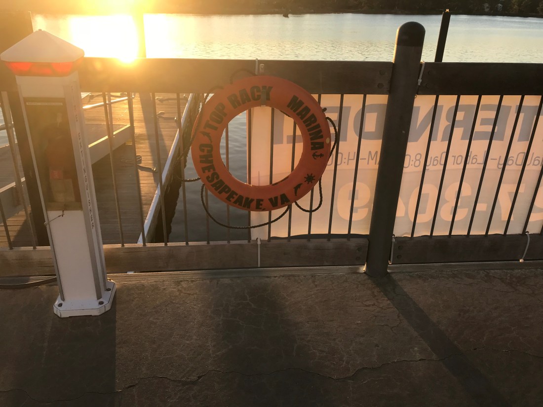
We spent two nights at the Top Rack Marina (ICW Statute Mile 8.8) in Chesapeake, VA.
Top Rack Marina – a nice stop along the ICW
What a great place to stop. When we arrived at the marina, Ben was there to catch our lines and greet us with a some Virginian southern hospitality. Top Rack Marina is a “dry rack storage” marina. These style of marinas store their customer’s boats on indoor racks rather than floating in a traditional “wet slip”. Customers simply call and request their boat dropped into one of the dozen or so wet slips in the marina’s water edge.
Kelly relaxing in the cockpitIndoor racks hold boats like a grocery store shelfOutdoor racks act as staging locations as boats are washed, flushed and prepped
Their giant fork truck moves boats effortlessly and can be intimidating as it whirls around with a boat high in the air.
We decided to stay for two nights and re-provision the boat. Usually we would have to grab a Uber to a nearby grocery store but we have found that grocery delivery services are a much faster, cheaper and a far simpler way to restock. When we were in Brick, NJ we used Peapod from Stop & Shop but here in Chesapeake, VA we used Farm Fresh Supermarket.
Jaquay was our designated shopper and he would text us with pics of substitutions for any out of stock items on our list. Jaquay picked our order, drove dockside and was kind enough to help carry our groceries aboard. Thanks Jaquay.
Jaquay
The marina has a great ship store and Deli and as I checked in with Brian at the front desk, Brittany was there to help me select a local IPA beer called “El Guapo IPA”. El Guapo is brewed locally in Norfolk, VA by O’Connor Brewery
In Spanish El Guapo is a beautiful guy, a well looking male
Then it was on to dine at the Amber Lantern Restaurant. We stepped out of the elevator and hostess Courtney warmly greeted us. We got an early start at the docks and by the time the restaurant opened at 4PM, we simply poured ourselves into seats at the bar. Bartender Sydney kept us smiling the whole night.
Sydney’s smile could warm the heart of even the crustiest sailorDynamic Duo: Sydney and Courtney
Being first into the restaurant, we had the chef to ourselves and the food was amazing. We had our fill and retired back to the boat only to wake up at the witching hour of 3AM and sing along with YouTube videos from artists in the “Forever 27 Club”. I recall some Janis Joplin was echoing out over the river… “Freedom’s just another word for nothing left to lose”…
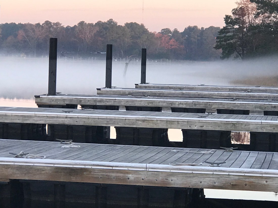
We awoke to a ghostly fog creeping down the river and we quickly shoved off to race and catch the Great Bridge Lock opening at half-past-every-hour.
ICW fog
Once at the Lock we tied up to the Southern wall, waited for the lock doors to silently close and watched as it lowered us gently down to the height of the water on the Albemarle Sound side of the lock. I find it interesting that while the Elizabeth River side of the lock is tidal and varies about 2.7 feet the Albemarle Sound side varies only due to the winds that drive water up or out of the river. Equally as amazing is the age of the machinery that drives these locks. You watch as giant gates and machinery, built using simple principles of engineering mastered many years ago, silently close.
We kept the ICW-bridge-list.pdf displayed on the iPad we’d have the requisite knowledge at our fingertips. As you pilot the ICW you will want to be aware of such things as… What bridges are around the bend? Can you safely pass under their vertical height? Are they restricted in opening times? How to contact the bridge tender on to request an opening?
ICW bridge list for all 1,243-miles of ‘inland’ waterway
As you make your way down the Albemarle Chesapeake Canal you can’t help but notice it’s as straight as spaghetti. The Canal was originally conceived of in 1772 but had to wait until technology advances (circa 1856) that allowed steam-powered mechanical dredges to cut through the land. While the canal is over 70 miles long, there is only 14 miles of excavated land. There are really two different “cuts”. The 8.5 mile long Virginia Cut which connects the Elizabeth River with the North Landing River in Virginia and the North Carolina Cut which is 5 miles long and slices across the Currituck Peninsula at the village of Coinjock to enter the North River, flowing south into the Albemarle Sound.
Historic chart denoting the Virginia and NC cuts
This canal is a wonderful part of American history. During the U.S. Civil War, when the Union Army commandeered the canal, nearly 9,000 vessels made the transit. After the War, traffic continued to increase as the waterway took over practically all of the trade passing between the Albemarle Sound and Norfolk, Virginia.
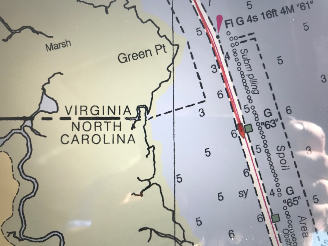
As we meander down the ICW at a leisurely pace of 6 knots (4.5 MPG) we noted the passing from Virginia into NC. Then just a short while later, we were stumped to explain why this looping side canal was littered with wrecks? How did this happen?
VA / NC State Line – ICW statute mile marker 34How did this happen?Gently used boat for saleMaybe this cannon we passed was responsible for the wrecks 😉
The scenery at this point in the ICW is amazing! The waterway is lined with tall grass and you’ll watch as the local duck hunters race by you in camouflaged flat bottom boats. We’d pass the occasional duck blind hidden in the grass and Kelly & I would jabber about the moral issues of tricking ducks with decoys into becoming dinner. I’m always intrigued by the human race’s dilemma between a desire to coexist peacefully with all the other animals on planet Earth and our need for subsistence.
We soon arrived at Coinjock Marina where dock hand, JD quickly moored us to the wall and we scurried off to the Sand Bar for an IPA, some buffalo wings and a filet mignon for Kelly.
A typical sailor bar along the ICWThe restaurant is known for their amazing prime rib
Inside the bar we met Bartender Jason and shared stories with other cruisers going South down the ICW. The three captains of a brand new 45′ Hatteras sport fishing boat that was making its way South sat next to us. They showed us video of their 30 knot trip South and we joked about their 80+ g/hr burn rate vs. our 1.2 g/hr rate. “Time is money” said one of the captains as they hurried out of the bar joking that they would not wake us at sunrise as their sprint South continued. Well it’s 6:30AM and we just watched them depart silently. I’m sure today will be another fun time here in Coinjock, NC.
So we started out of the Manasquan River shortly after sunrise and ran aground before my coffee got cold. The captain was not paying attention as used some excuse about being by the morning sun. “Crappy Captain!” is what we shout whenever I do something stupid. I still have much to learn. It was a sand bar @ 4ft and far from what my charts showed. We backed up and pushed our way off the sandy bar and the rest of the trip was without incident.
Right away we were forced to wait @ the Manasquan River railroad bridge which was closed for a train crossing. We waited with 20 or so boats for the bascule bridge to reopen. When it did open, it was “every boat for themselves”. It felt like being at the Raynham, MA dog track… “There goes Rusty”. I think that was the rabbit’s name?
As we passed through the narrow opening for the railroad bridge I felt compelled to snap a pic out the pilothouse door to show how tight the passage feels.
Tight Squeeze to Starboard
The last challenge to get through was the Manasquan inlet which was displaying a phenomenon called “reflected waves”. These are wakes from boats (zipping by us) that are being reflected back off the inlet walls. It’s like having your head above water in a washing machine; there is no rhyme or reason to the direction of the waves.
Reflected Waves
The cruise South was smooth as the period between the ocean swell was long, 10 seconds or so. This made for a gentle 3-4 foot swell. We made our way South down the NJ coast and as we passed Atlantic inlets we dodged the many sport fishing boats that were fishing atop of one another. We listened on the VHF as they stood holding a rod on the back of a boat at the end of November.
When it was not fishermen we were seeing it was a porpoise or two. Here is a short video of what I think was a porpoise but I’m sure one of you will chime in about what species owns the dorsal fin in the video?
As we approached, Atlantic City could soon be seen in the distance.
AC Boardwalk
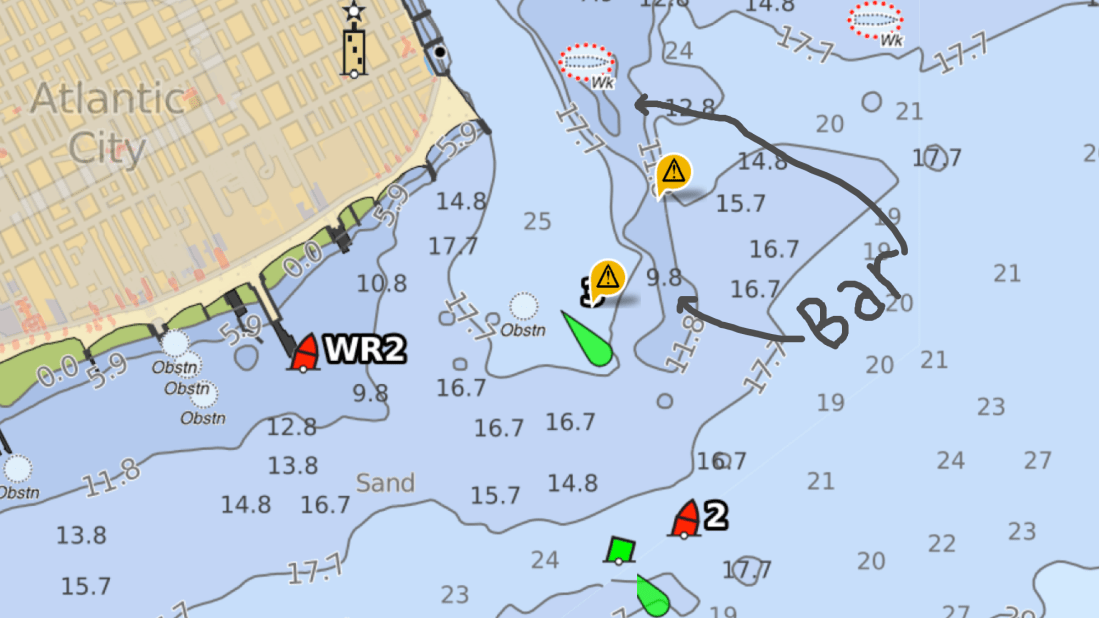
Coming into AC was easy as far as NJ inlets go. With the exception of having to stay clear of the bar that can be understood when you see the breaking waves atop of it.
The Absecon Inlet is wide and the ebbing current was only about 1.5 kts against us. Just inside the entrance, we turned to port we left the wind & current behind. As we hailed Farley State Marina and VHF channel 65 as Kelly reminded me to loose my Boston accent and hail “FaRRRley Marina” instead of “Fahlee Marina”. The VHF radio crackled back and they told us to head down the fairway between docks echo and foxtrot and simply pick any slip we liked. We chose a slip close to the Chart House restaurant an 1st mate jumped into action as we backed her down into the slip. Kelly great about waiting till I bring the boat alongside the floating dock before attempting to jump off onto the dock. A miscalculation could lead to winding up in the water between the dock and the 30,000 lb boat as it kisses the dock. This docking however was easy-peezee. The wind was buffeted by the highrise hotel and dockside current was zero.
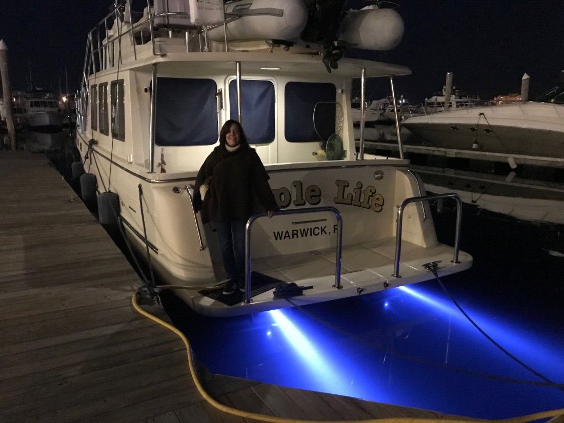
1st Mate Kelly
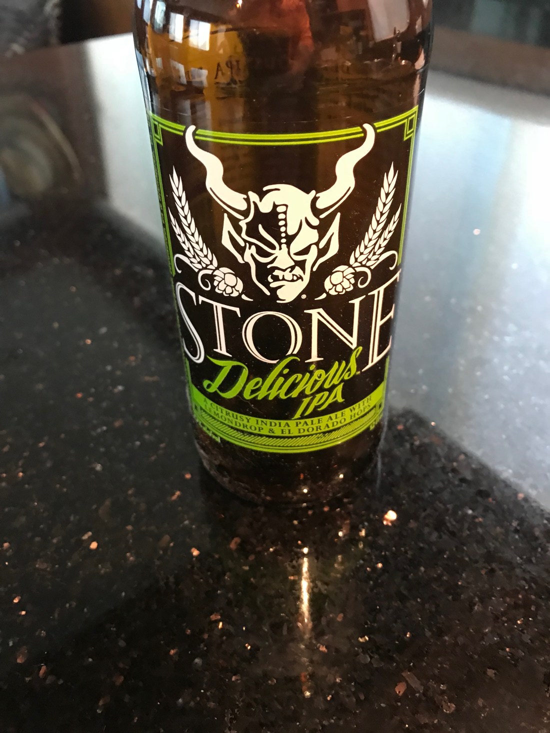
We tied up quickly and raised a toast to AC. Thankfully the night before I had walked the path from the boat, under the bridge and to the liquor store to buy MORE IPA beer. I learned beer is always a mix of malty barley vs. bitter hops. Like all IPA enthusiasts, the more bitter the better. My IPA of choice is a “West Coast” style IPA that has IBU (International Bitterness Units) between 50-100 and with a citrus pop like grapefruit or mango, etc. Anyway… the liquor store had Stone Brewing’s “Delicious” IPA and I have to say…YUMMMM, what a great IPA.
YuMM
As for Atlantic City, well… we were starving and decided to go to the Chart House.
Atlantic City Water Club
The Chart House was great. We caught happy hour and it was Capt & margaritas! & filet & fish tacos.
We are planning a sunrise departure again but I convinced Kelly to do a quick Casino tour. Thirty feet into the casino and the cigarette smoke made us change our minds. Tonight we’ll finish happy hour on the boat while I write this blog update and do some chart plotting before bed.
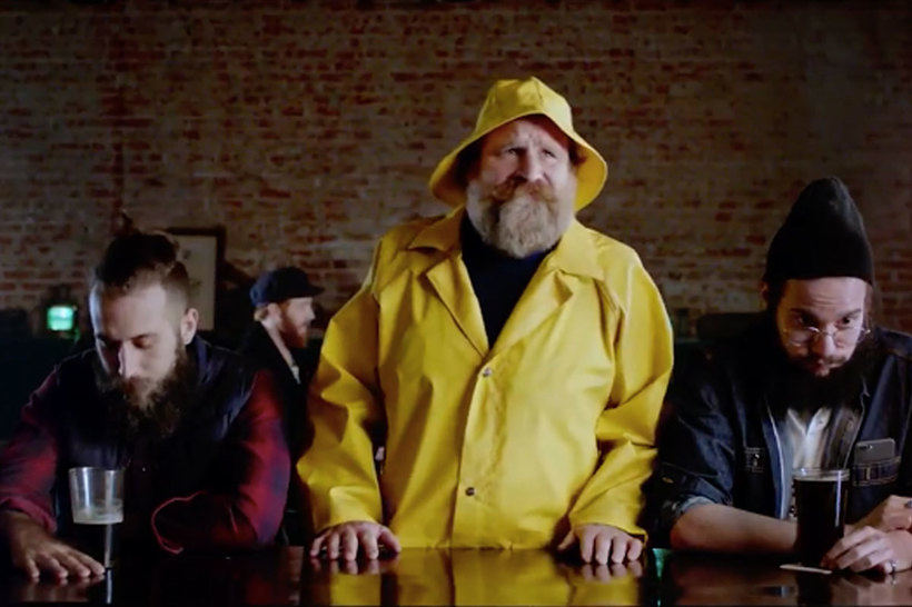
Tonight I will be scouring every maritime website / app for any & all information I can about the Delaware coast. Today’s Captain is digital. It used to be an old guy who looked like the Gorton fisherman but now it’s a millennial with the charting, piloting, tide, moon phases, sunrise times and weather apps on multiple digital devices.
Gorton vs. Millennials
Though I must admit…a captain is only as good as his/her experience. I have been boating 20+ years and still feel like a noob at times. I imagine that becoming a full-time cruiser will give me the time to read such maritime tomes as Chapman Piloting and Bowditch – The American Practical Navigator.
Every captain make mistakes… which we’ll call wisdom later on 😉
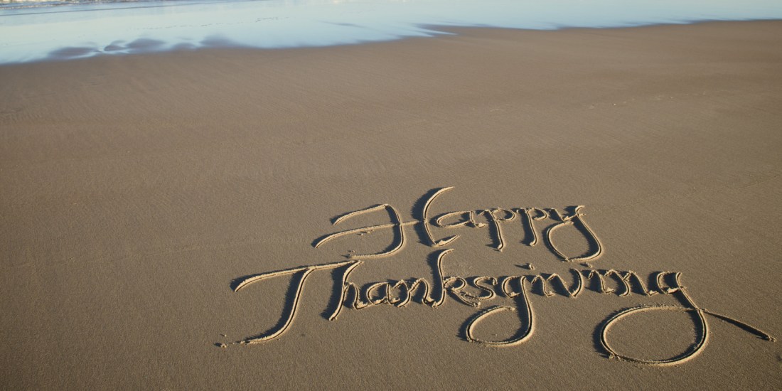
That’s all for now. Kelly & I hope everyone had a great Thanksgiving.


You must be logged in to post a comment.