Covid-19
So it’s March 13th and the bars on Duval St. are open and seems worried about the Covid-19 pandemic but that will change by the end of this post.
Five Days
Preppy flew back to Boston yesterday but I rented my slip here in Key West for another five days. I was happy that Teresa had decided to drive down for the weekend so we could spend that time together. We started our weekend by hoping on the scooters and hitting Duval St.
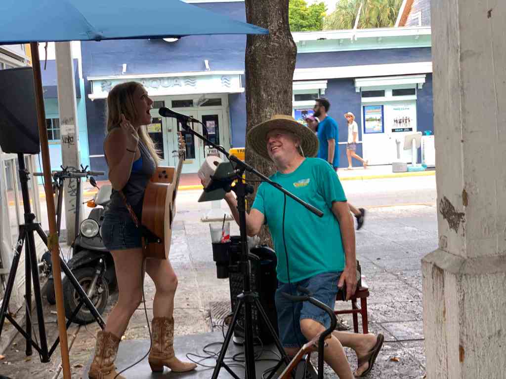
1st stop Pinchers Crab Shack.

There was a woman playing guitar and she was great.
We were enjoying some beer, margaritas and bang bang shrimp (wow those were good).


I’m not sure how we missed the “Bucket of Fun” on that menu?
At one point a patron of the bar was proposing to the the guitar player by offering her a roll of toilet paper. At first it looked like he was going to win her over with the roll but she was clearly holding out for more.
You can see our scooter handlebars behind the singer and it was time to jump on them and go exploring Key West before this happy hour slows us down. So off we went scootering.
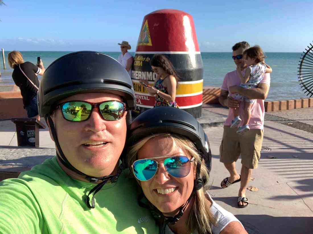
Southernmost Point Buoy

When in Key West, you must stop at the Southernmost Point Buoy and take a picture. There was a line to take a picture so we figured we’d simply stand in the street and take a selfie with the famous buoy.
Tuck & Roll
I forgot to mention to Teresa that when scootering, you cannot take your hands off the handlebars for any reason. Cow Key Channel Bridge (pictured below) was the scene of the horrific crash. Rather than wait for the med flight to arrive, Teresa agreed to scooter back to MV Simple Life where I would bandage her back together.

Boat Cruise
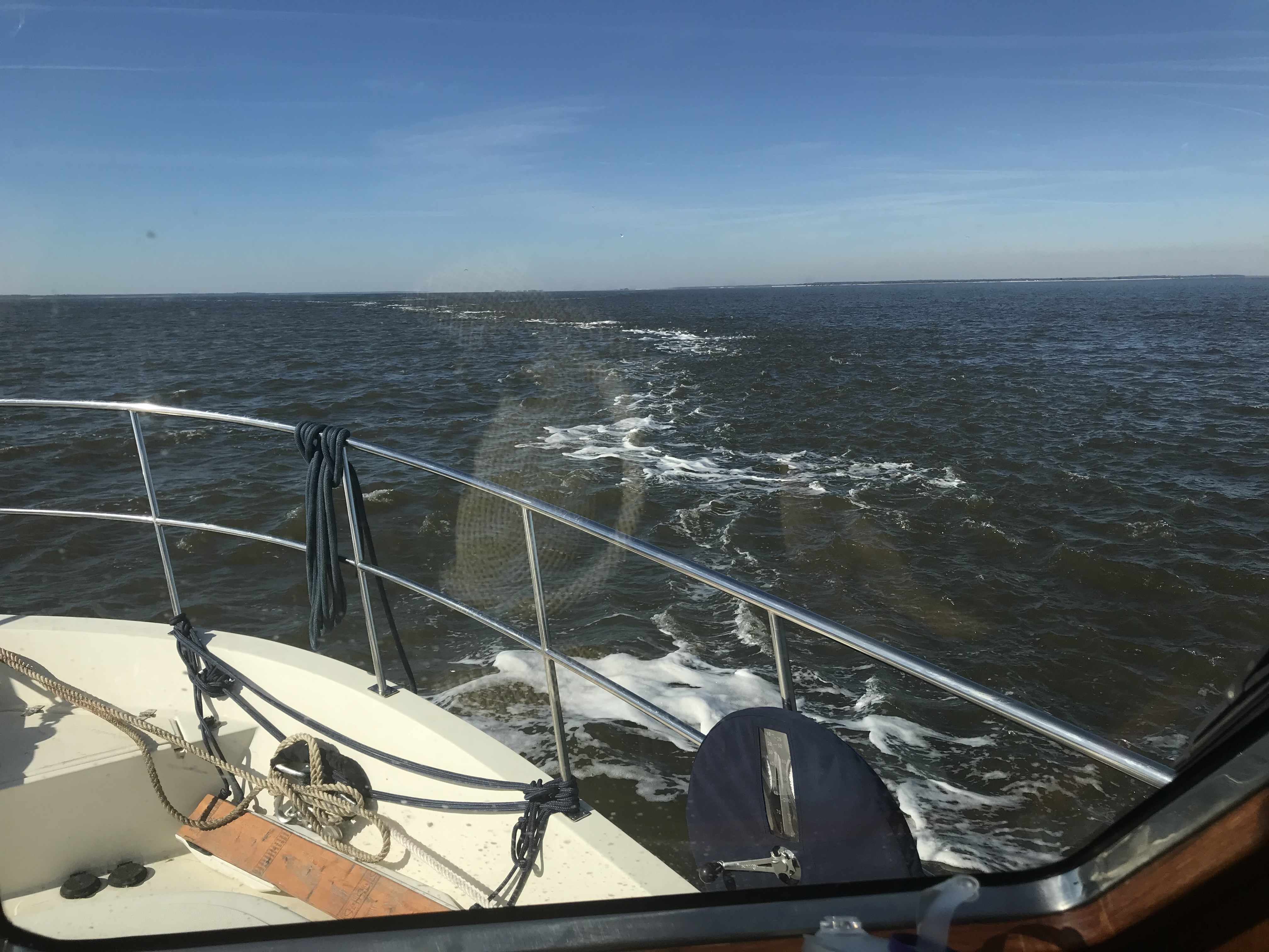
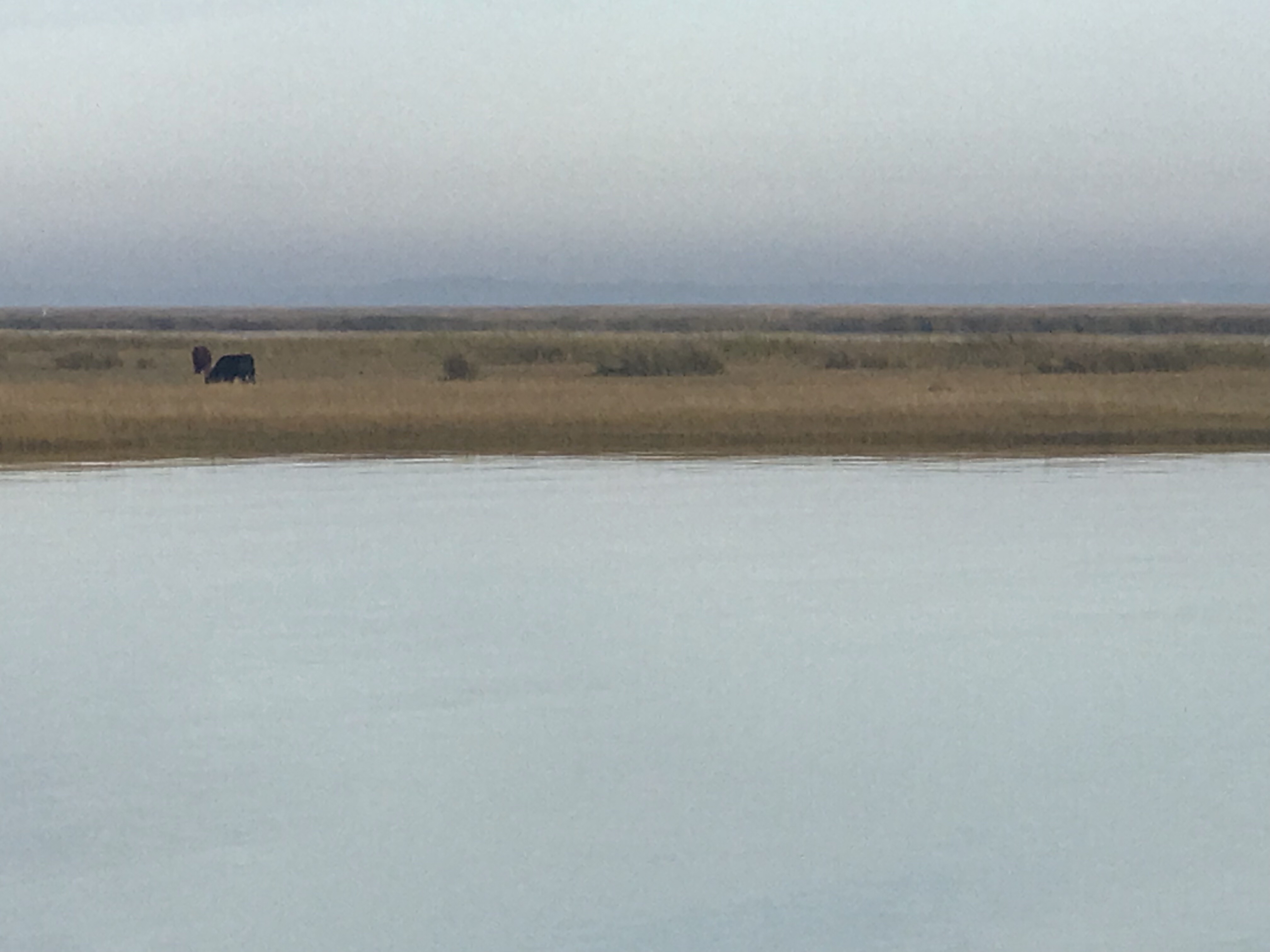
The next day was warm and sunny so we figured we’d untie Simple Life and slip away from the dock for a boat ride around Key West.

You can see the northern tip of Fleming Key behind us. Fleming Key and bridge that connects it to Key West are part of a section of the Naval Air Station Key West called “Trumbo Point” and are inaccessible to civilians without US Navy clearance.
Duval St Take Two
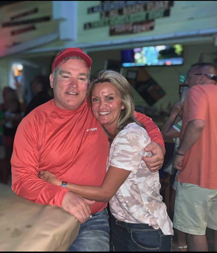
The next day we explored Key West again. This time via Uber and somehow we still wound back up at Pinchers. Teresa was born and raised in Florida and grew up on seafood. I think she’s working on converting me into a seafood guy. We had just enough time for one last obligatory selfie before our Uber arrived to take us back to Simple Life.
It was a weekend to remember.
Publix Run
The next day I put on my backpack climbed into the dinghy and set out across the shallow bay to Publix supermarket. Figuring I could carry four times as many groceries in the dinghy than the scooter, my plan seemed to make sense. The plan was to land the dinghy along the roadway in front of Publix. This resupply mission would ultimately fail. I had drastically underestimated just how shallow the water was around Salt Pond Keys and especially as you get close to the roadway.
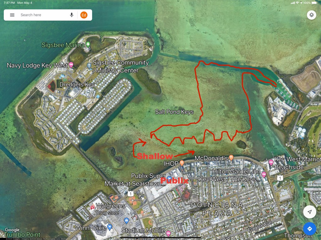
Feeling defeated, I returned to the marina tied the dinghy up and hopped on my scooter for multiple resupply runs. It was March 16th and people were still shopping without masks or protective gear.
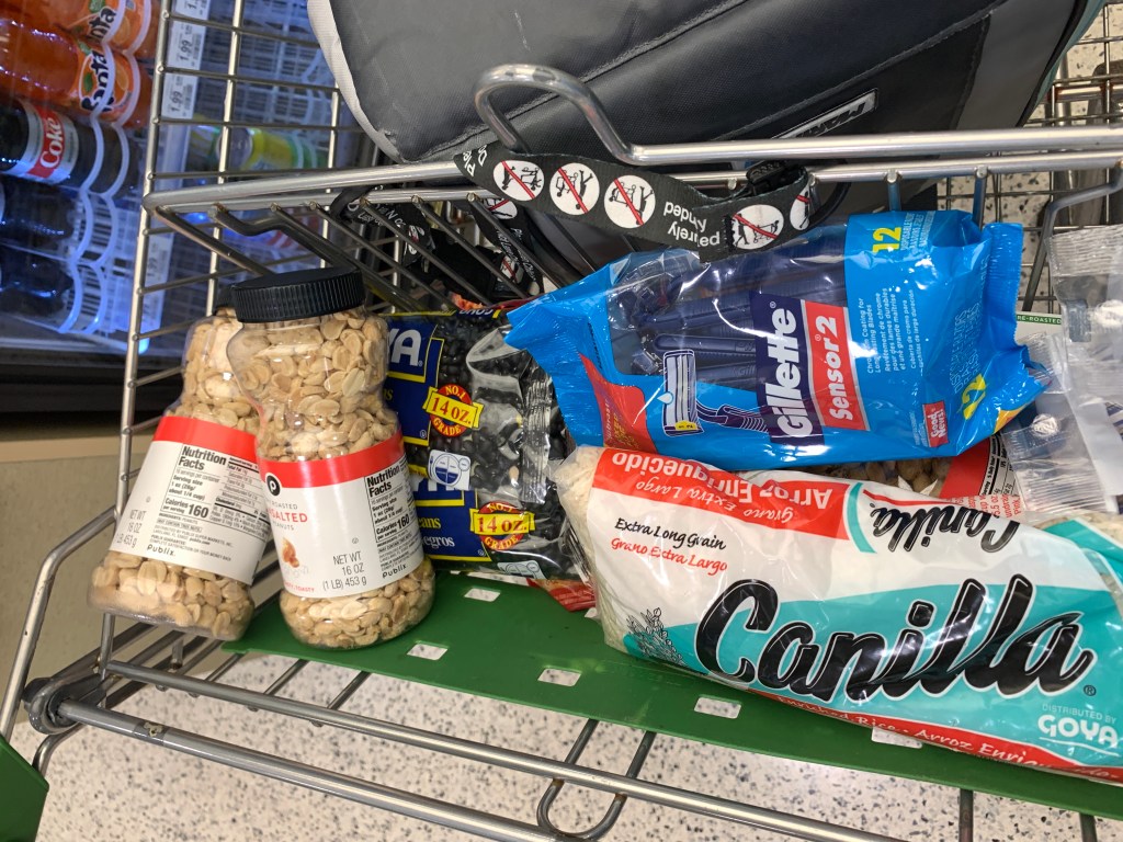
non perishables 
No toilet paper to be had 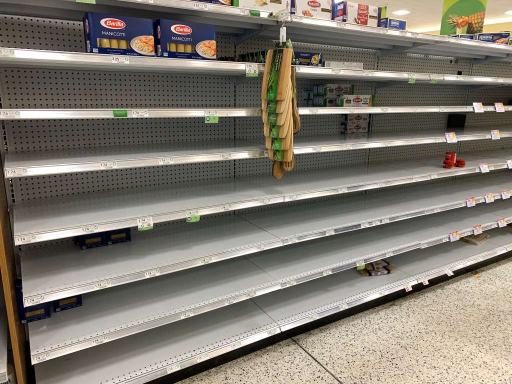
Even during a pandemic the gluten-free pasta sat alone on the empty shelves 
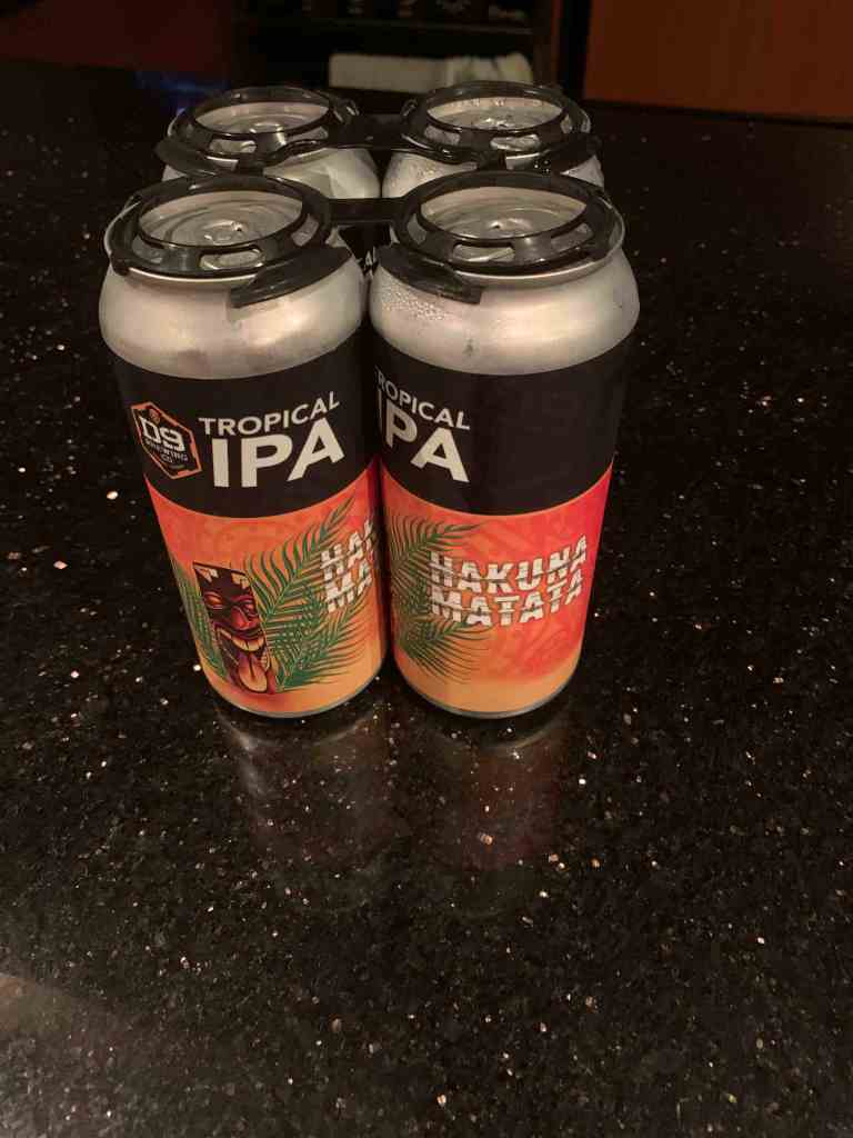
Beer & Coffee = Essentials
While Simple Life has a fridge and freezer with a separate sub-zero freezer I could load up on perishables and simply freeze them but like most boaters I prefer to stock the pantry full of non-perishables.
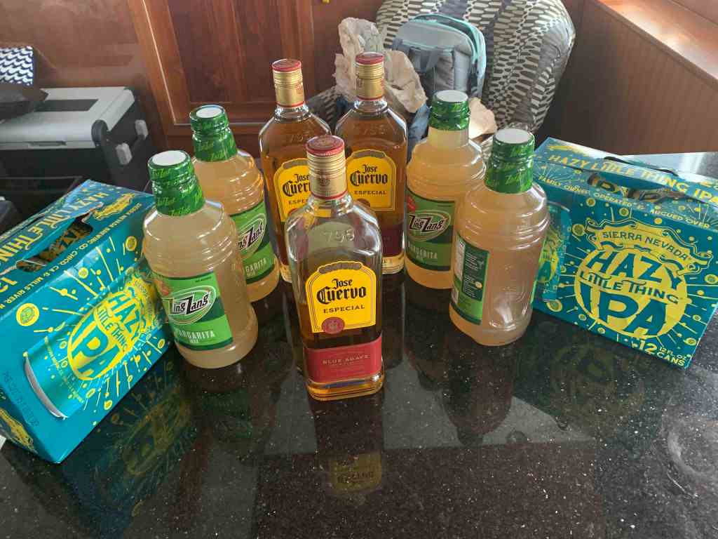
Good thing I stocked up on beer because on March 17th at 5PM on St. Paddy’s Day, the FL Keys shut down all the bars due to Covid-19. My plans to enjoy a few IPAs @ Irish Kevin’s on Duval St. died a few hours before it would have started. Maybe another time?
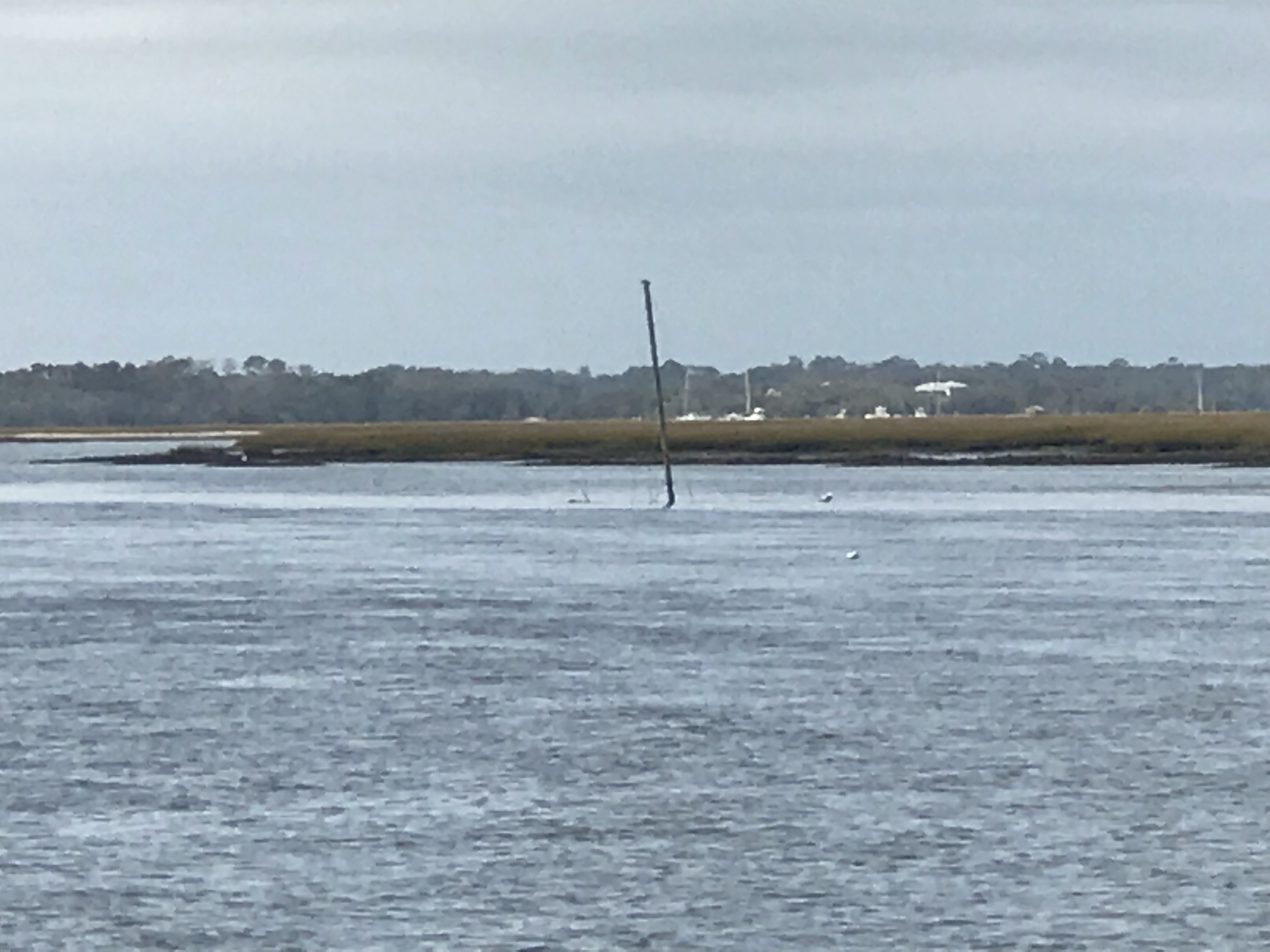
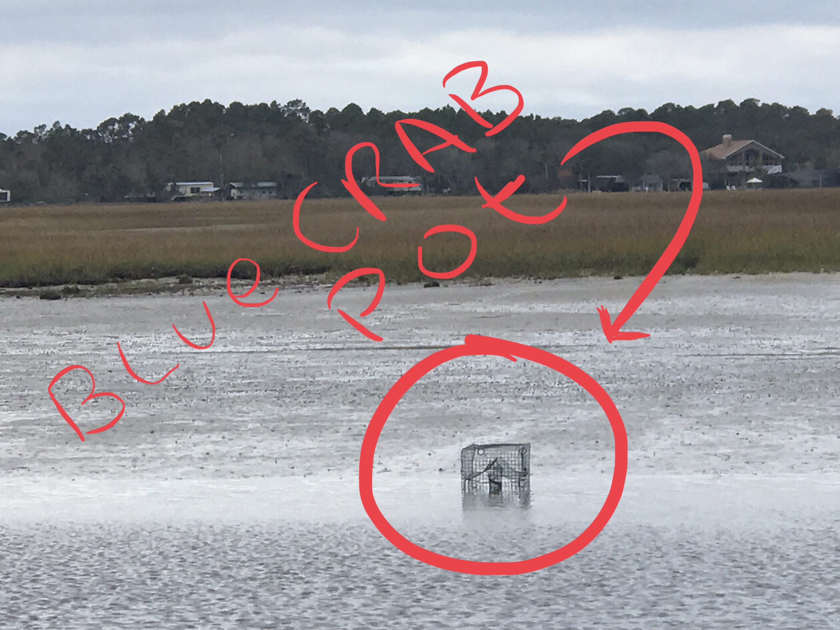
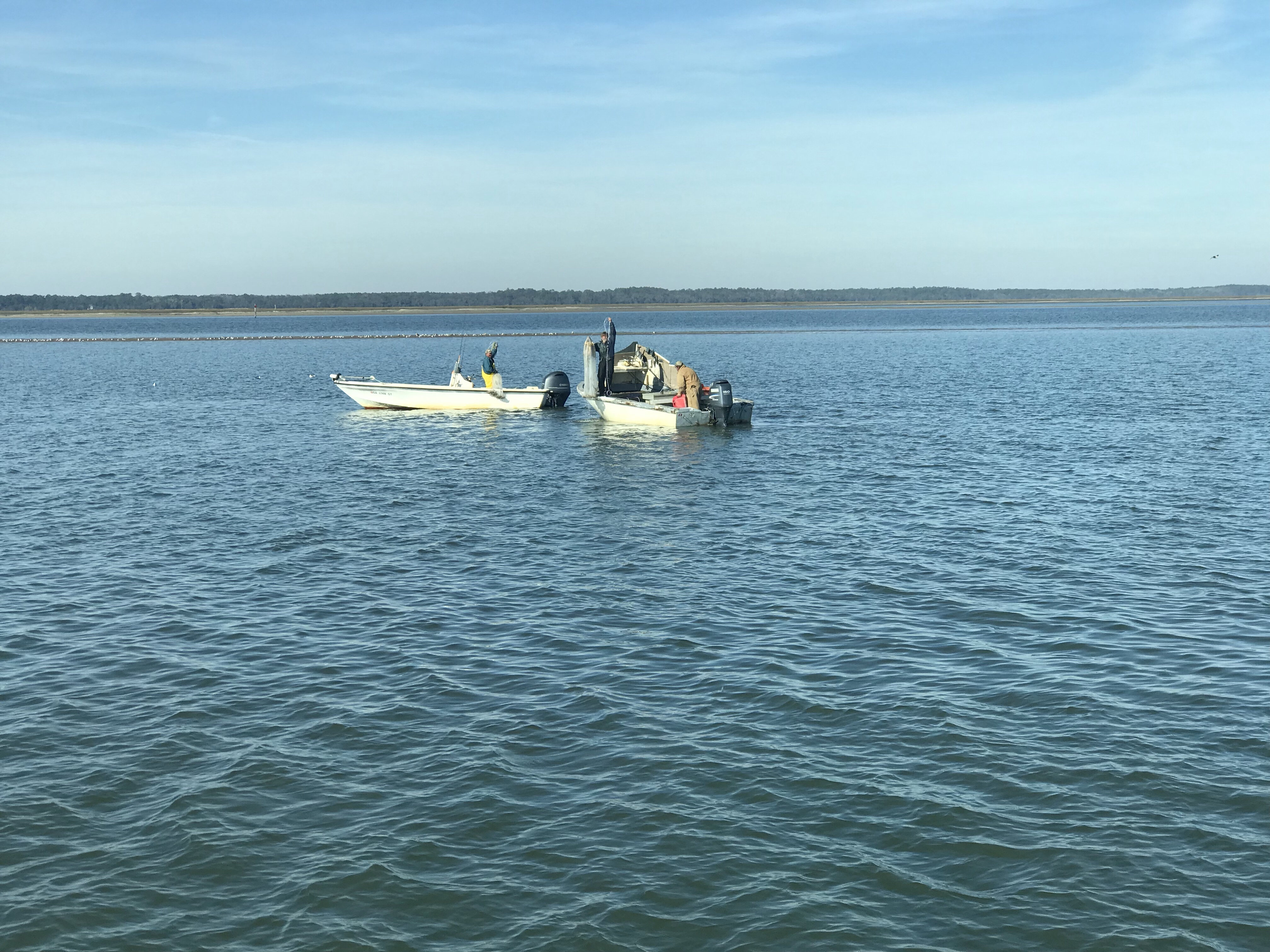
Dinghy Fishing
I’m now back at the boat and tired from all the lugging food & beer on the scooter. The night was warm so I figured it was a great night to go fishing in the dinghy.

Plenty of height to squeeze the dink under Cow Key Channel bridge 
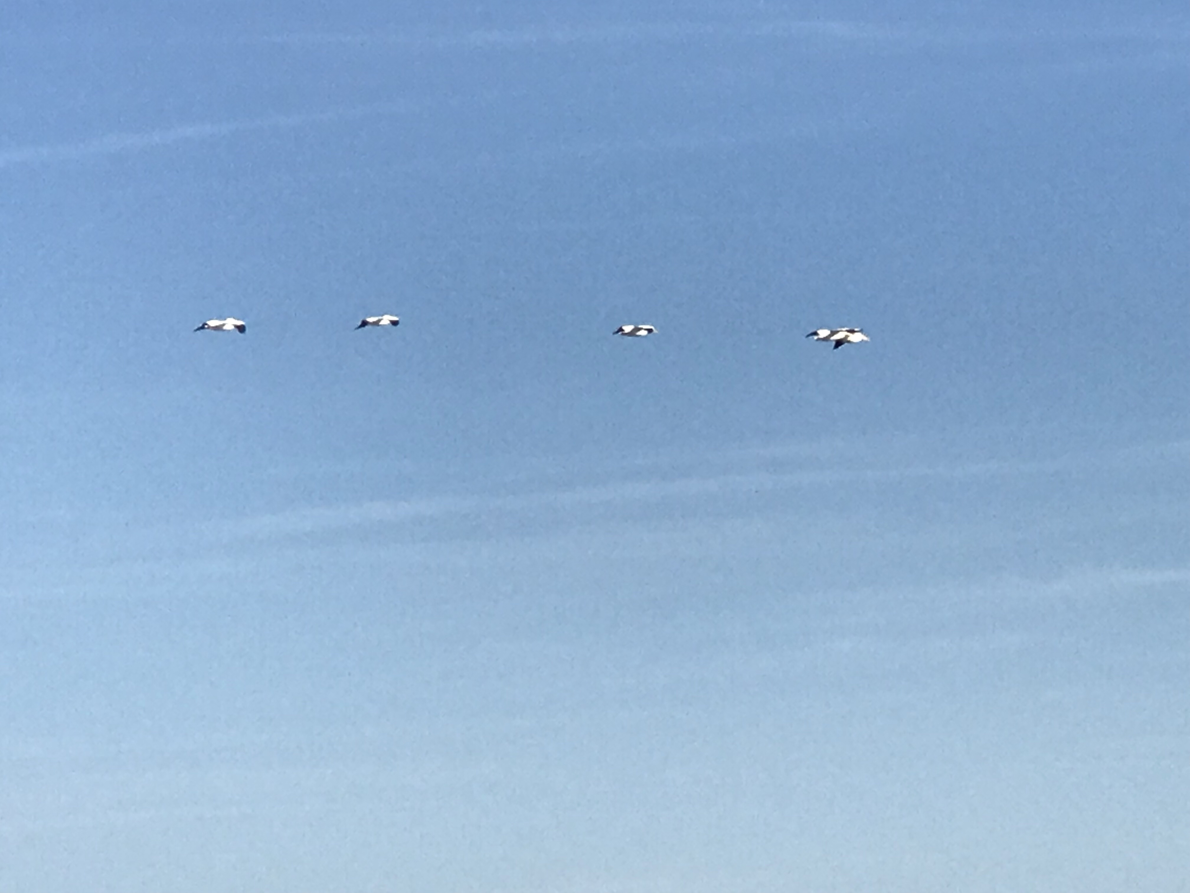
Fun night of fishing in the dink 
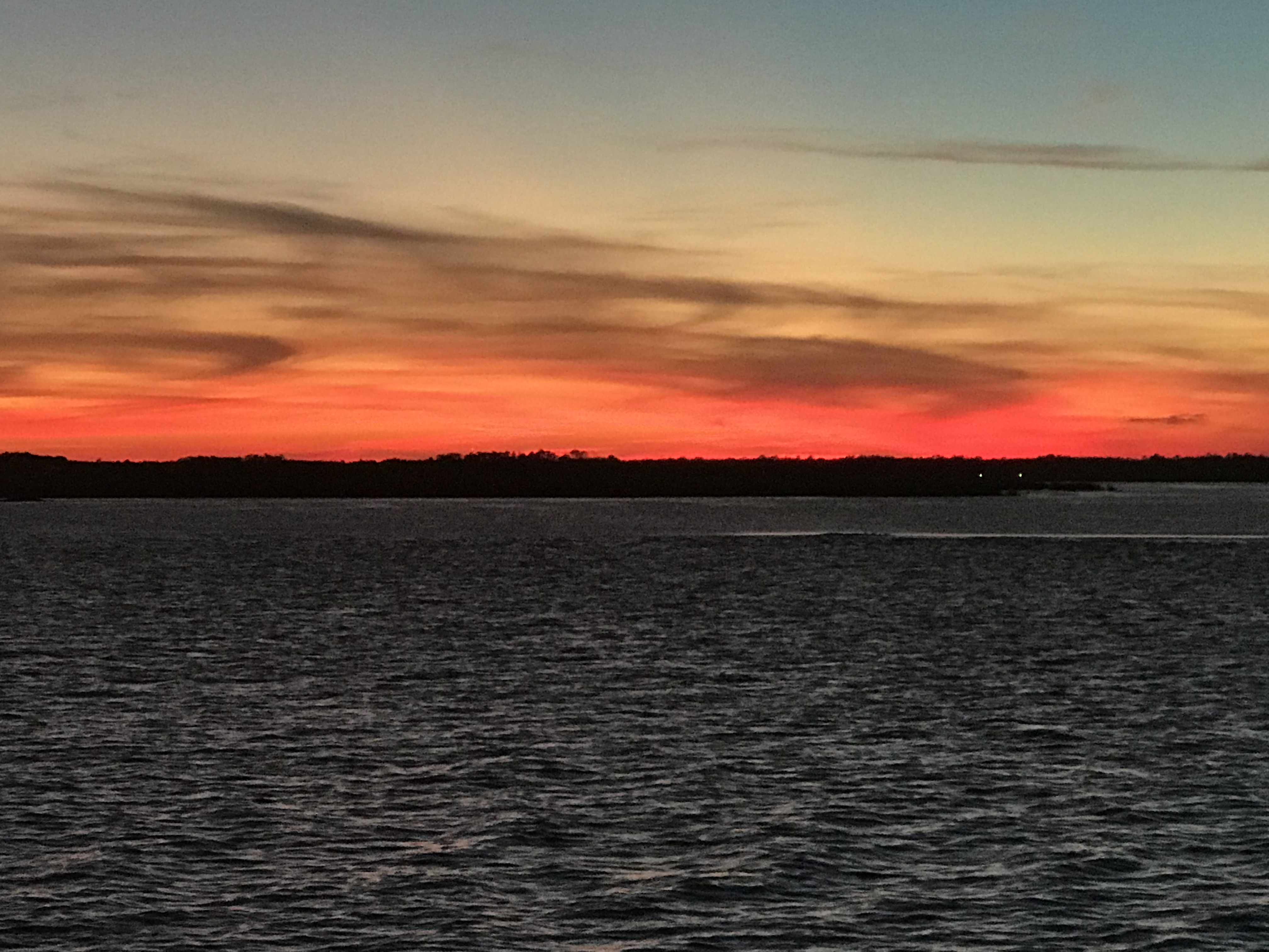
Sunsets in Key West are amazing 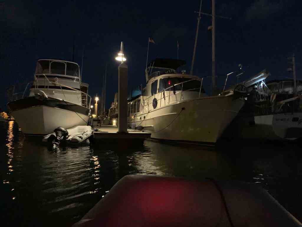
Late night returning to the mother ship
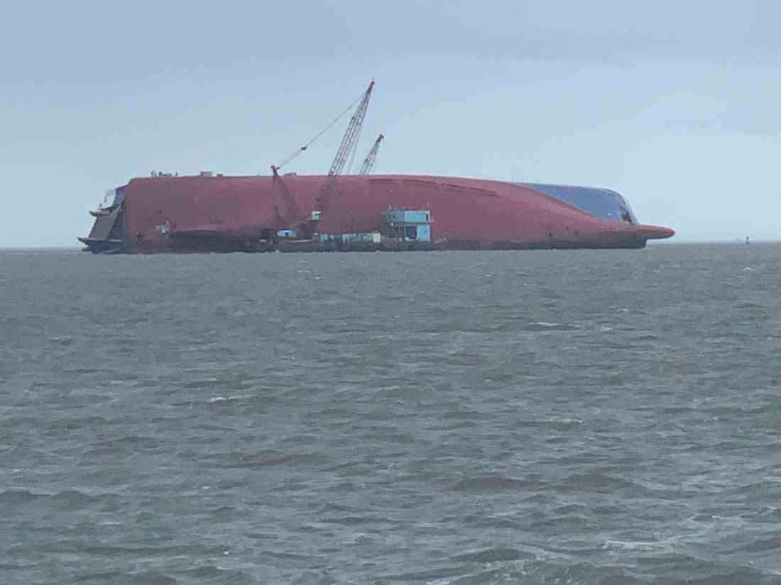
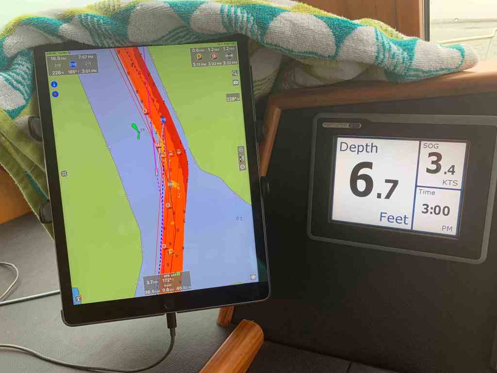
On my last night in Key West I was reading on Facebook a post from a fellow trawler guy who motored past a a 63′ Viking sport fishing boat aground on a jetty. He snapped this photo in the early morning before the sun came up.

Seems the boat ran into the jetty in the night. I felt horrible for the captain of MV Fuelish Pleasure as this kind of thing can happen to any captain when you lose situational awareness. Sometimes when it’s pitch black out and you have the brightness of the chartplotter turned way down it’s hard to see all the chart detail. Add to that the boat is bouncing up and down and it’s easy to make a mistake in the dark.


The captain may have been trying to pass between two shallow spots on the chart and might not have noticed the thin line that depicts a rock jetty. It’s very easy to do.


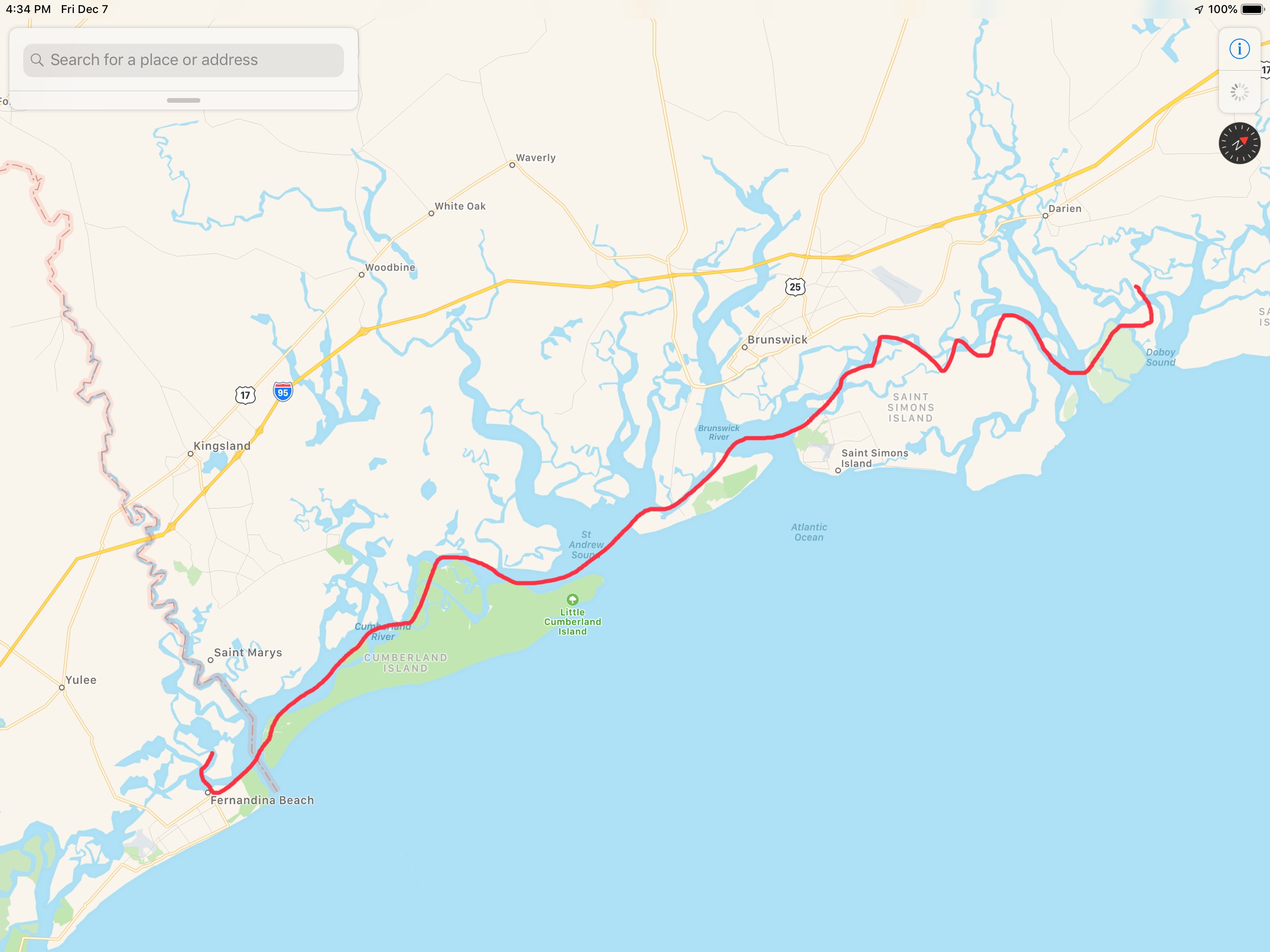
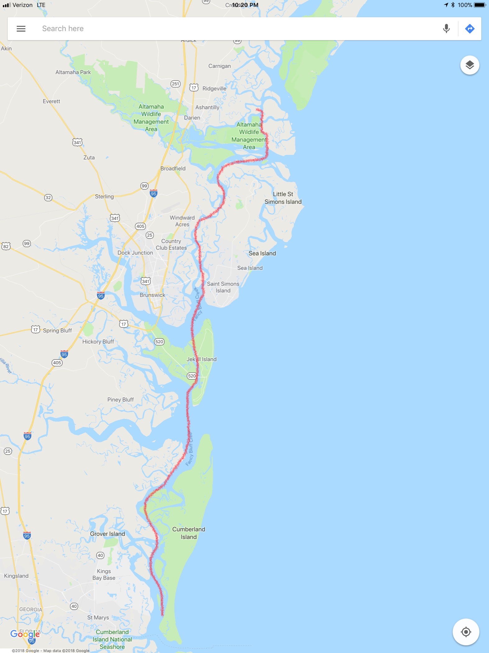
The chart above is of the St. Mary’s Inlet where this accident occurred. It is right on the Florida – Georgia line between Cumberland Island to the north and Amelia Island to the south. You can see my route line in red where I would was anchored in the Amelia River near the #1 waypoint. I used this route to exit that same inlet in 12 days after leaving Key West. I did a 40 hour solo offshore beginning the morning of 3/27/20. You’ll read about that when I catch up writing these blog posts. I’m glad nobody was injured in this accident.


You must be logged in to post a comment.