
It felt wonderful waking up after a good five hours or so of sleep. The sun was peaking above the horizon and I realize that my life while underway is a cycle of sunrises and sunsets. It’s enjoyable to contemplate the start of each day.

Warmer as You Go
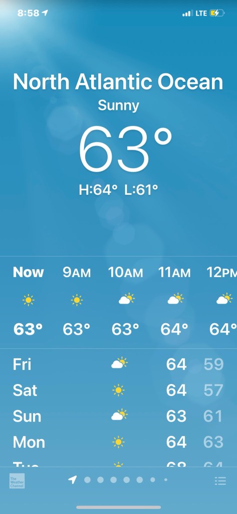
It’s almost 9AM now and as I cruise south down the Atlantic, I’m happy that my nights & days are getting warmer.
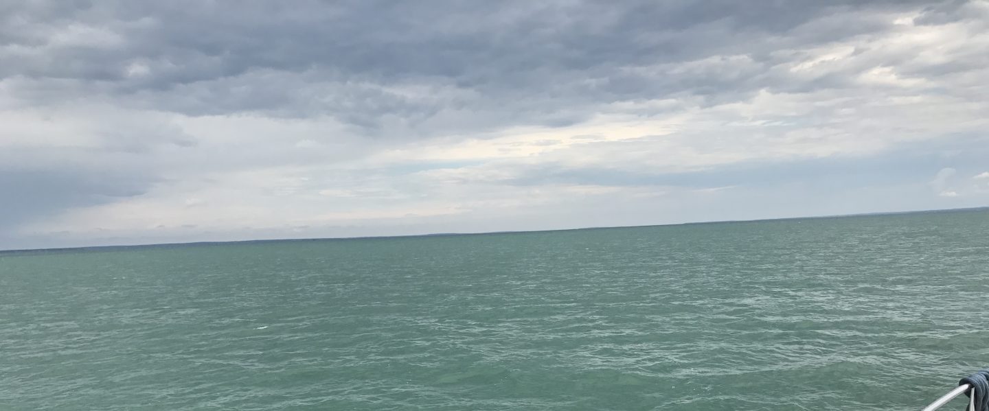
Flat Ocean is a Happy Ocean
My anchorage was flat water but even now out in the unprotected Atlantic I find it almost as flat.

Italian Yachts
I’m not the only one out here enjoying the flat sea. This sexy Azimut passed me like I was standing still.

Flat like a Bedsheet
As I cruise the sea gets ridiculously flat. I stop to make a video of just how calm it is.
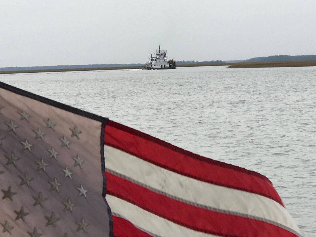
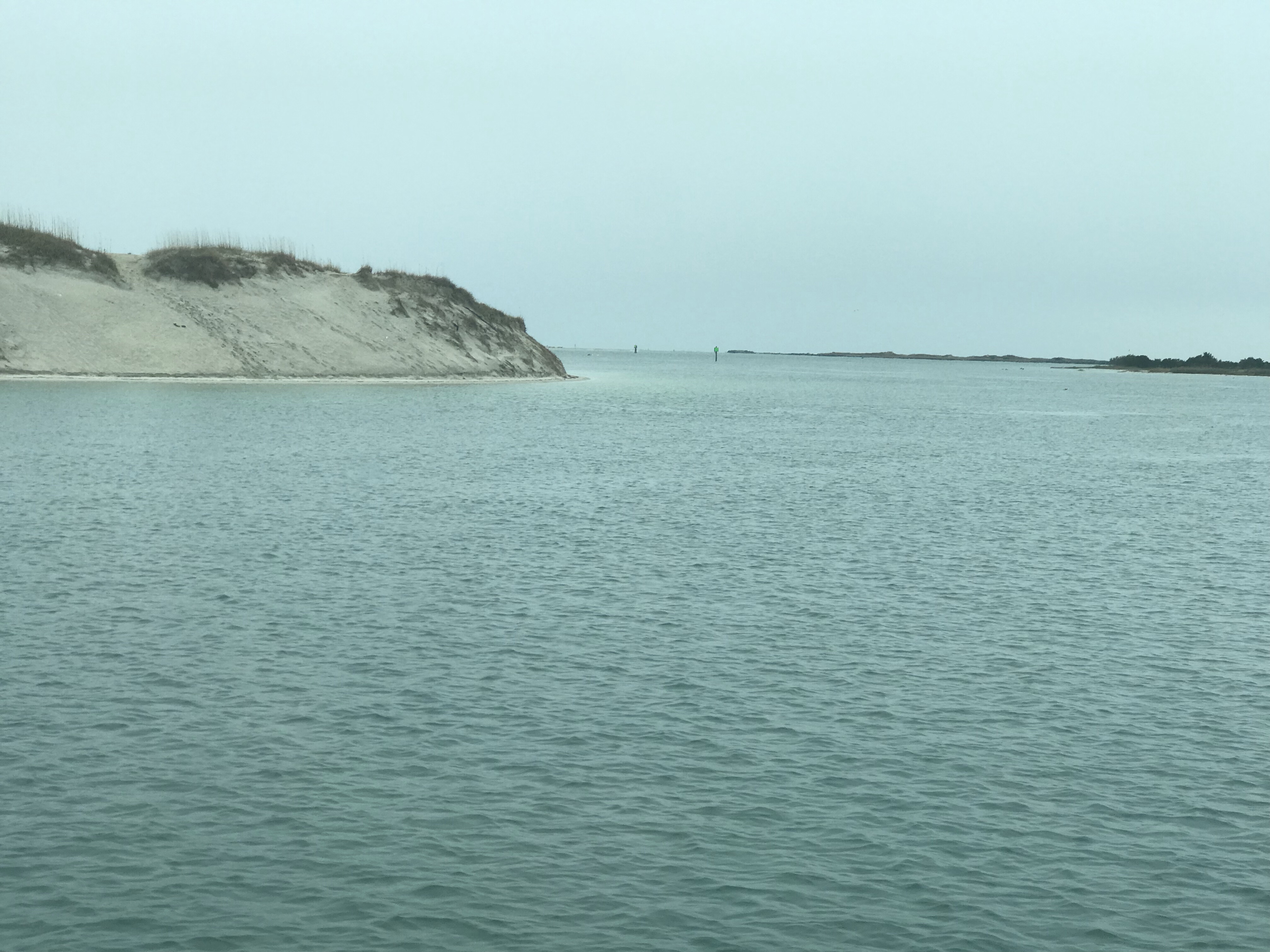
Fisherman’s Island
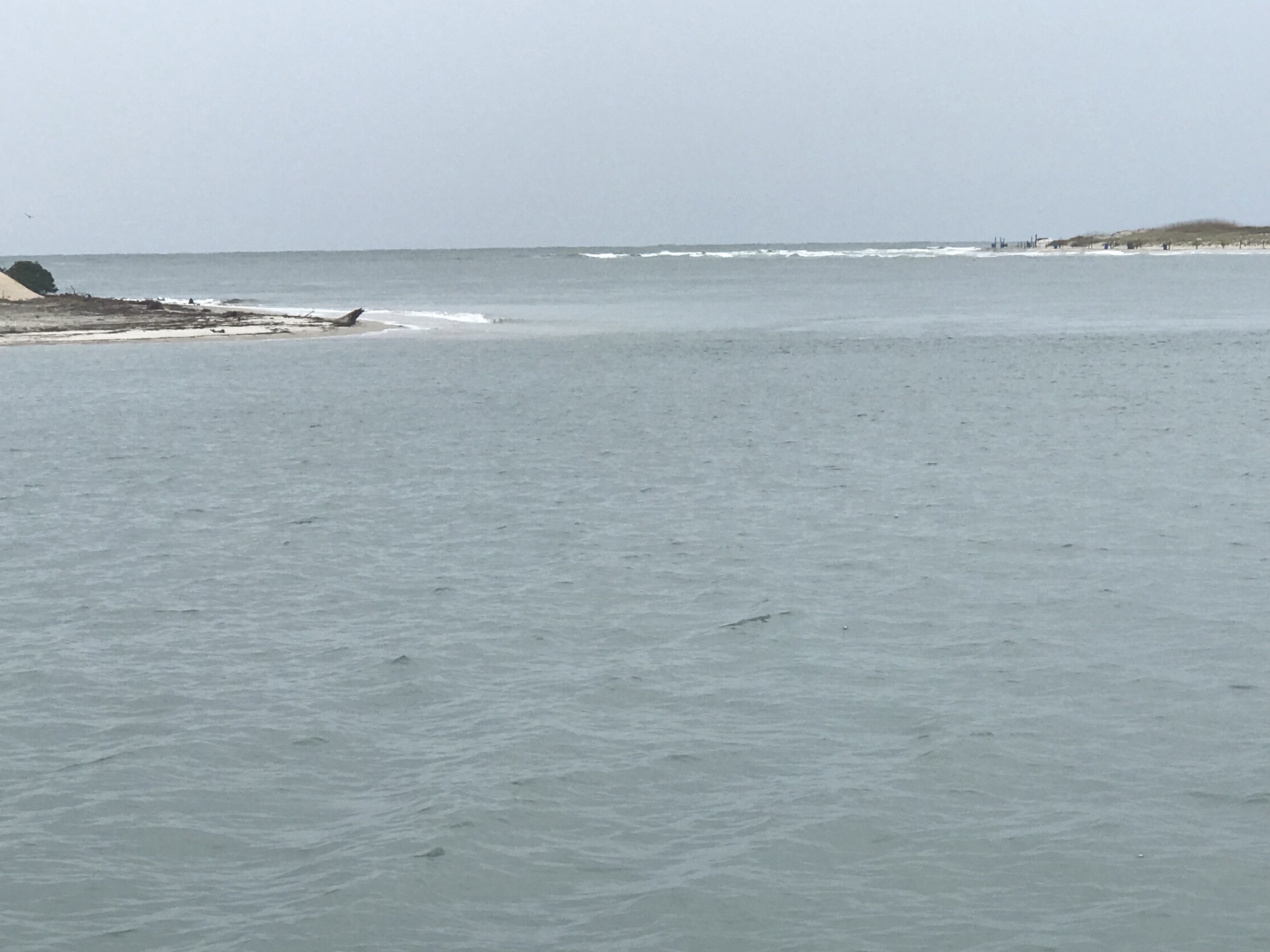
I’m now rounding Fisherman’s Island on the southern tip of Cape Charles. I glance up at my iPad to see my expected ETA is slipping. I’m fighting the tide which is exiting Chesapeake Channel.

I care about my ETA because I’d like to get on anchor before it’s dark.

I realize that in order to make last light I need to shorten my route or speed up. I decide to “cut the corner” a bit. Cutting the corner can get you in trouble with running aground if you are not careful as depths around inlets are often different than your charts. I cut the corner with a close eye on the trending depths displayed on my instruments.

As I’m rounding the corner, Flipper & friends pay me a visit.
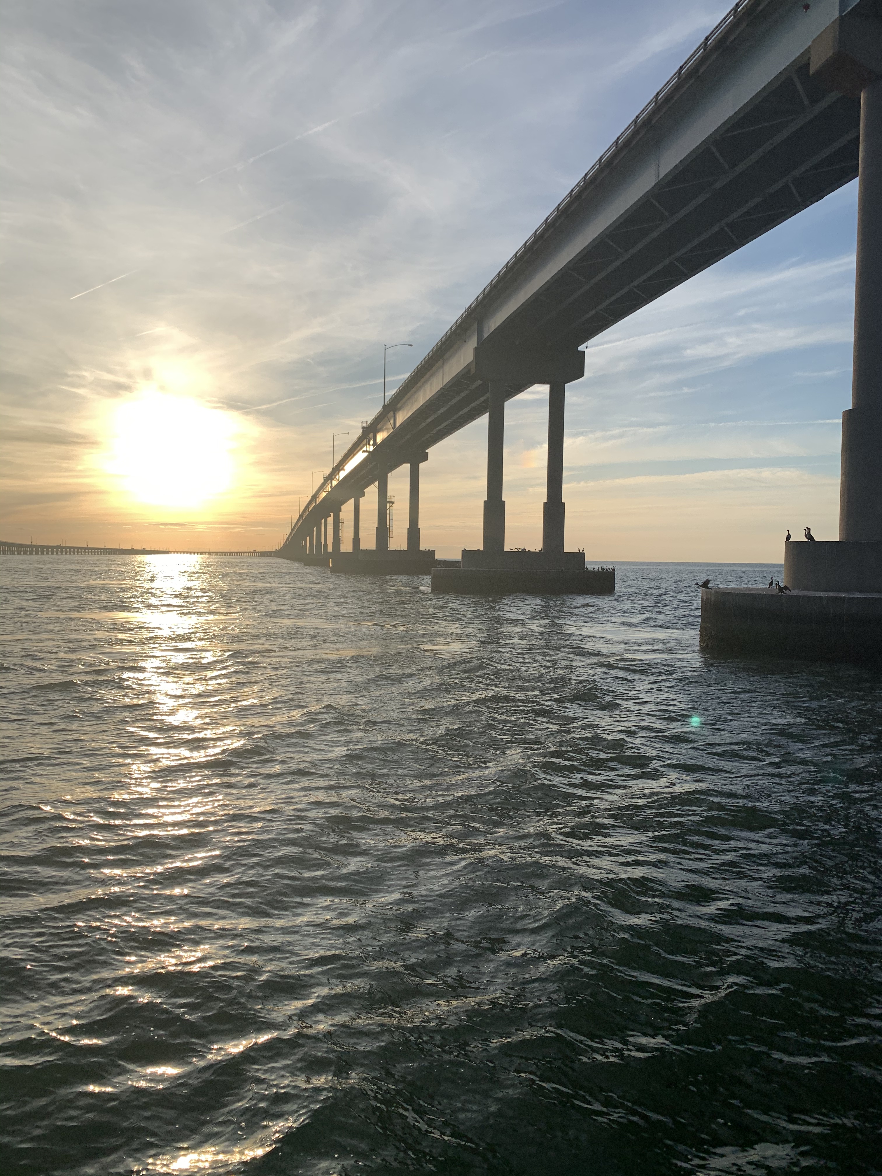
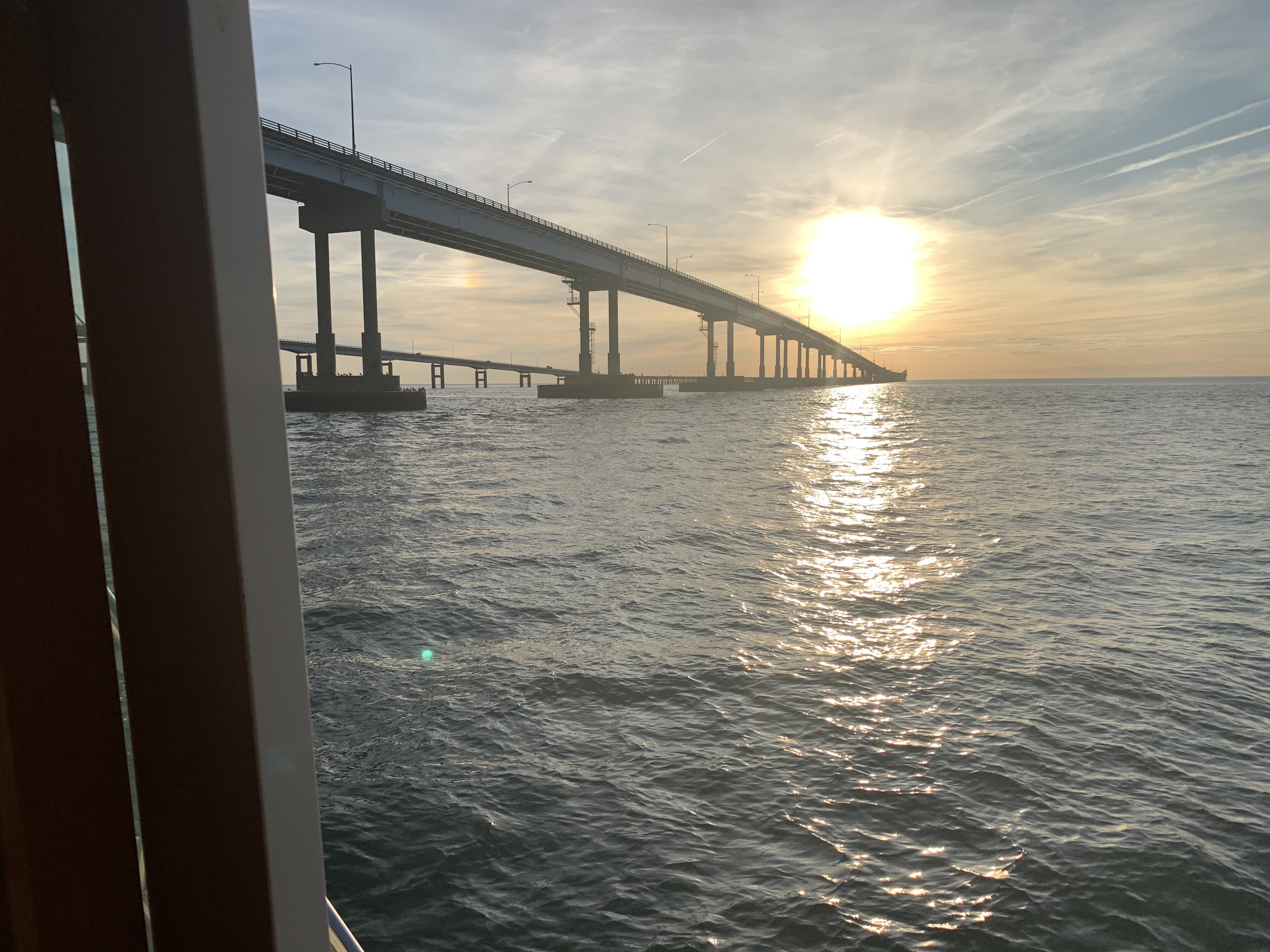
I no sooner round the corner and I’m passing under The Chesapeake Bay Bridge-Tunnel. It is a four-lane 20-mile-long vehicular toll crossing that provides direct access from Southeastern Virginia to the Delmarva Peninsula (Delaware plus the Maryland and Virginia Eastern Shore).
Chesapeake Bay Bridge-Tunnel
Passing under the bridges you realize how much work went into their construction.


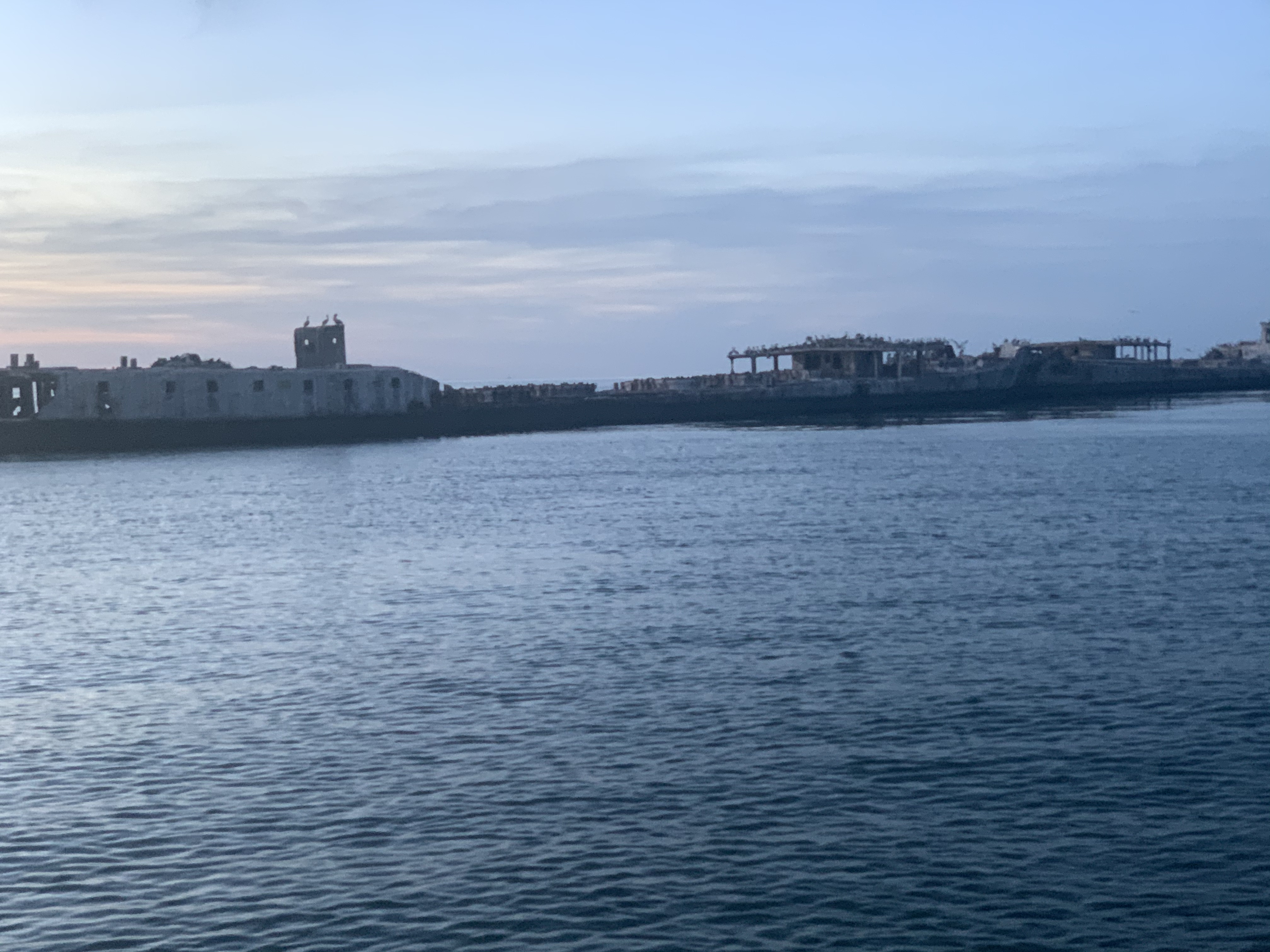
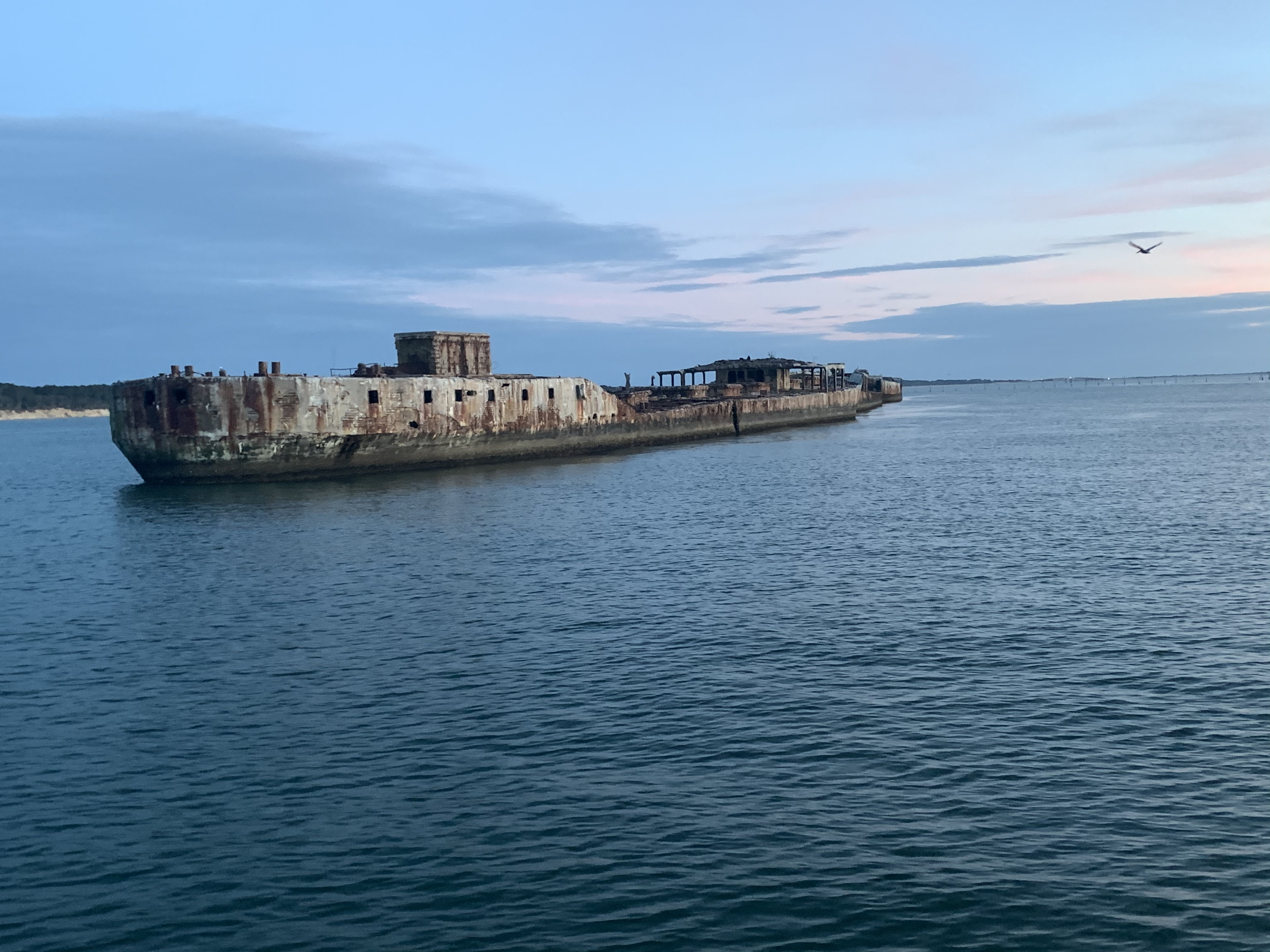
Concrete Ships Anchorage
The sun has set but my cutting the corner has resulting in Simple Life’s arrival at the Concrete Ships Anchorage before dark. I snap a few pictures of the ships before I lose last light.

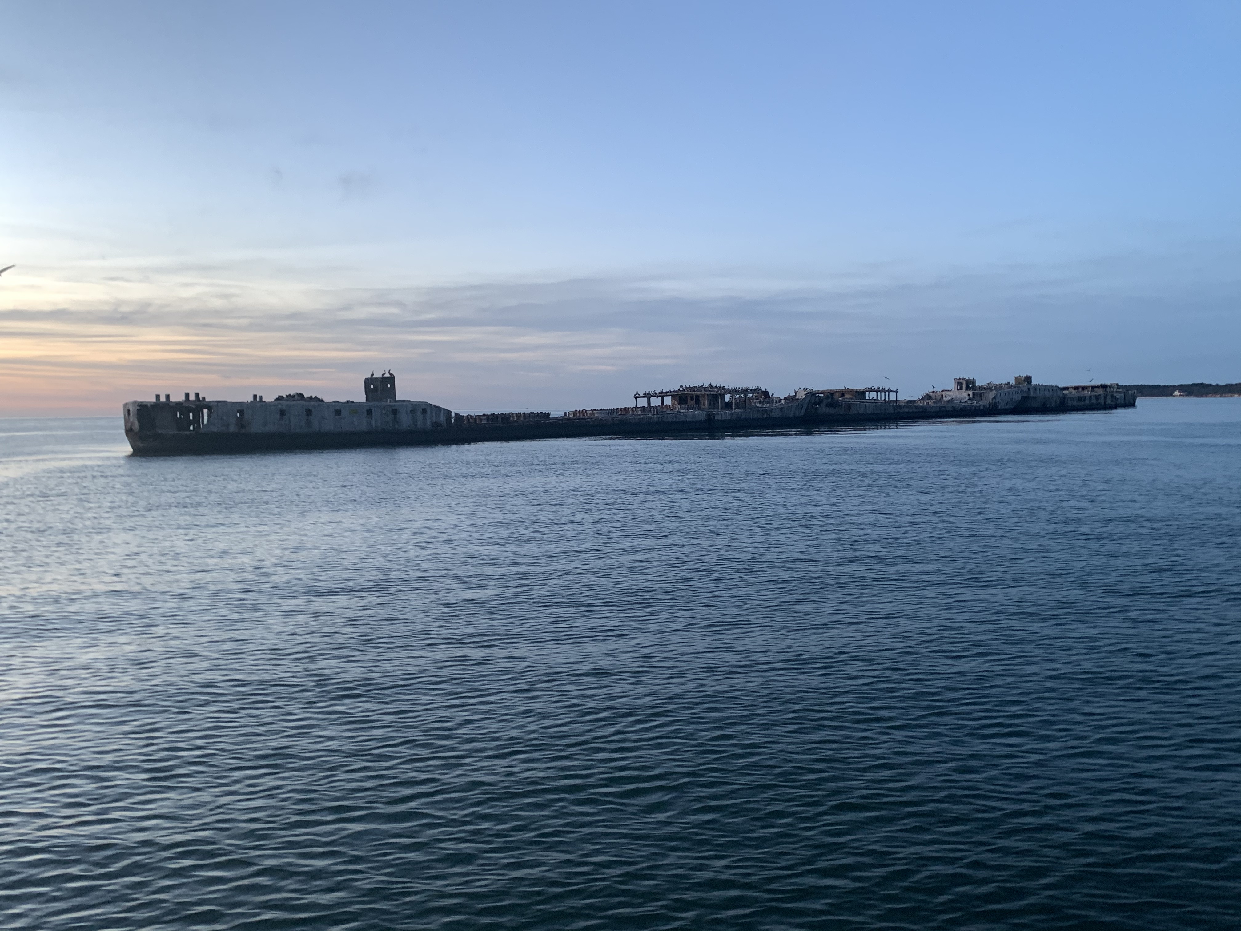

As I cruise past, a USCG patrol boat is moving slowly alongside the concrete ships and shining their spotlight into the openings of the ships. I think to myself … “Are people living inside the ships?” Why else would they be so interested in looking inside?
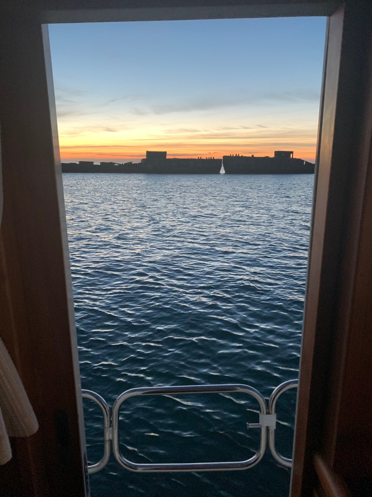
Anchored Fast
I quickly chose a good anchor spot by studying the depths and drop anchor.

There is no wind at all so I backdown at a full 830 RPMs to set the anchor.

A check of my GPS SOG (Speed Over Ground) shows the anchor is not budging.

I snap a quick photo of the sunset over the concrete ships and settle in for the night.
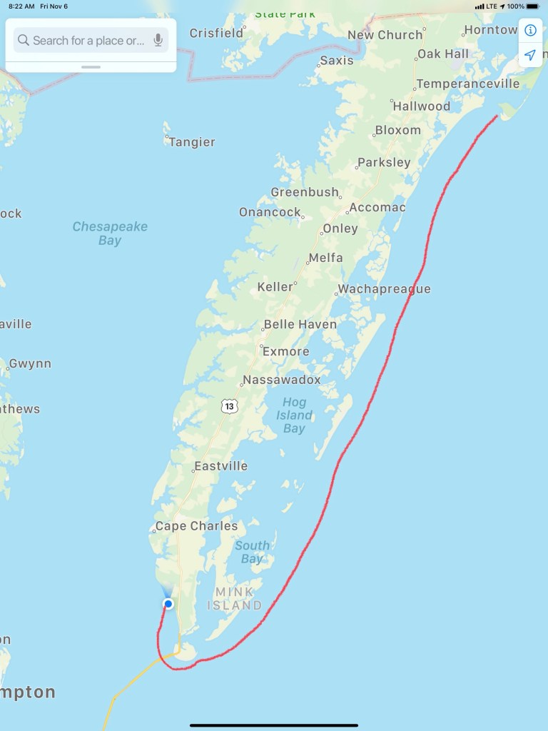
W04L005 67NM route looked something like this…


 We awoke around 4 AM and snapped this pic looking off the stern of the boat.
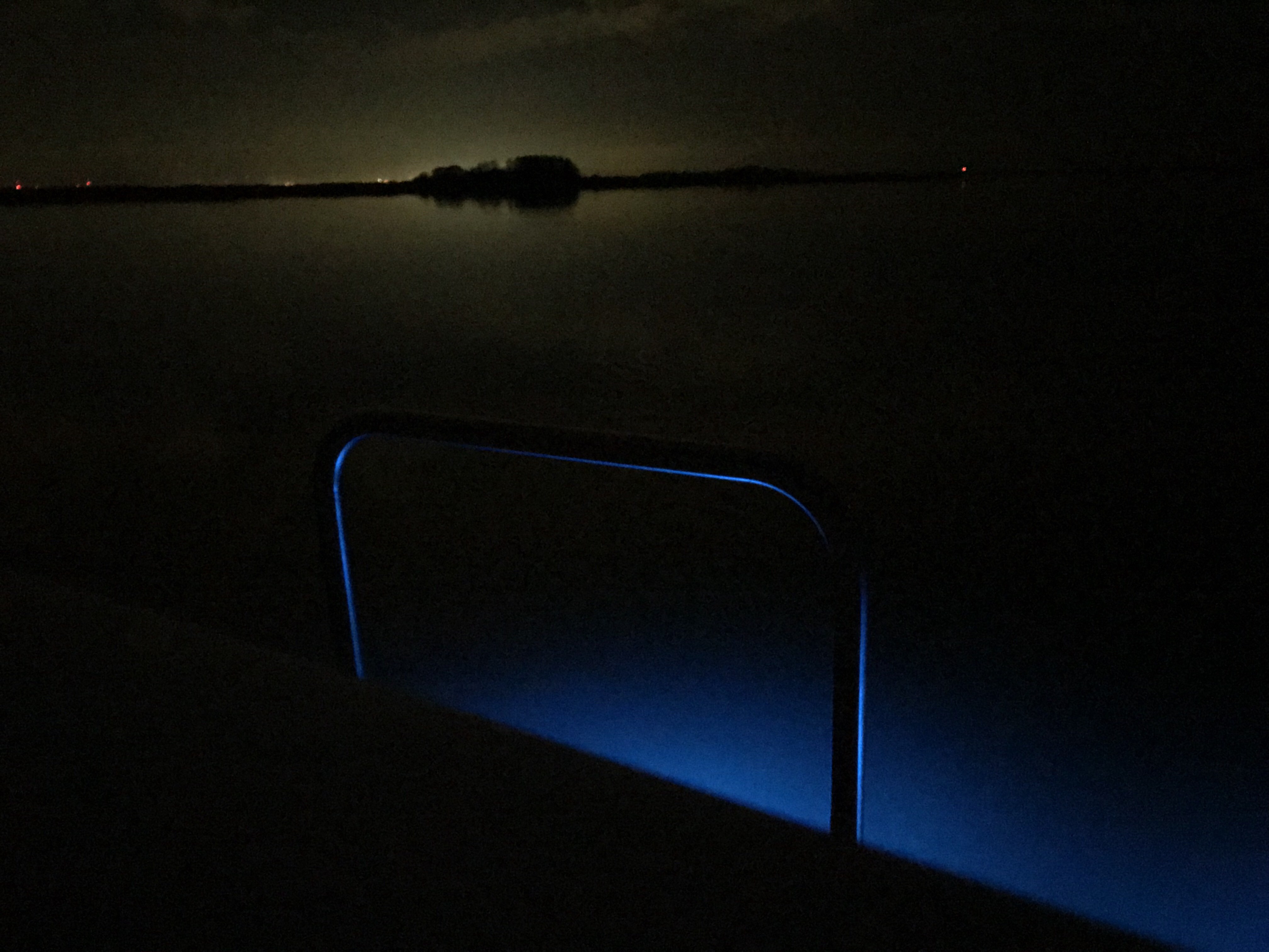


 Each Division / District has its own website so you’ll have to spend some time finding the hydrologic maps from each ACE District.
  That’s a narrow drugged channel that you must stay inside of
 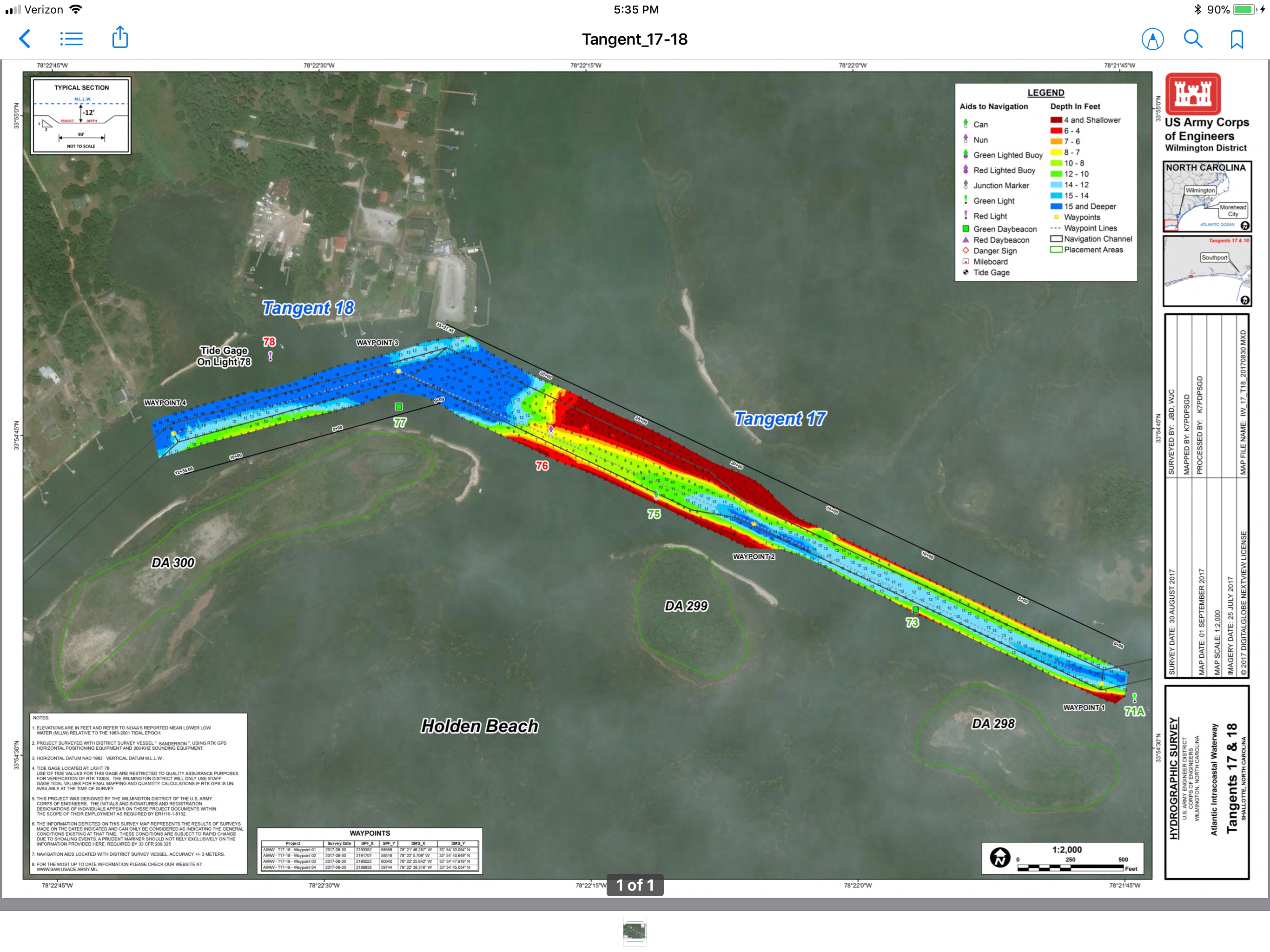 Stay to Port.
 We have no idea what species of bird this is but we are committed to learning more about the aquatic bird species that inhabit the ICW.


 I think the sign said something like Greg Norman’s Australian grille
 We love that this guy was taking his dog for a ride. Man’s best friend loves the boat says Happy & Chief Martin Brody.
  “Born 200 years too late” – Jimmy Buffett
 Somewhere Myrtle Beach
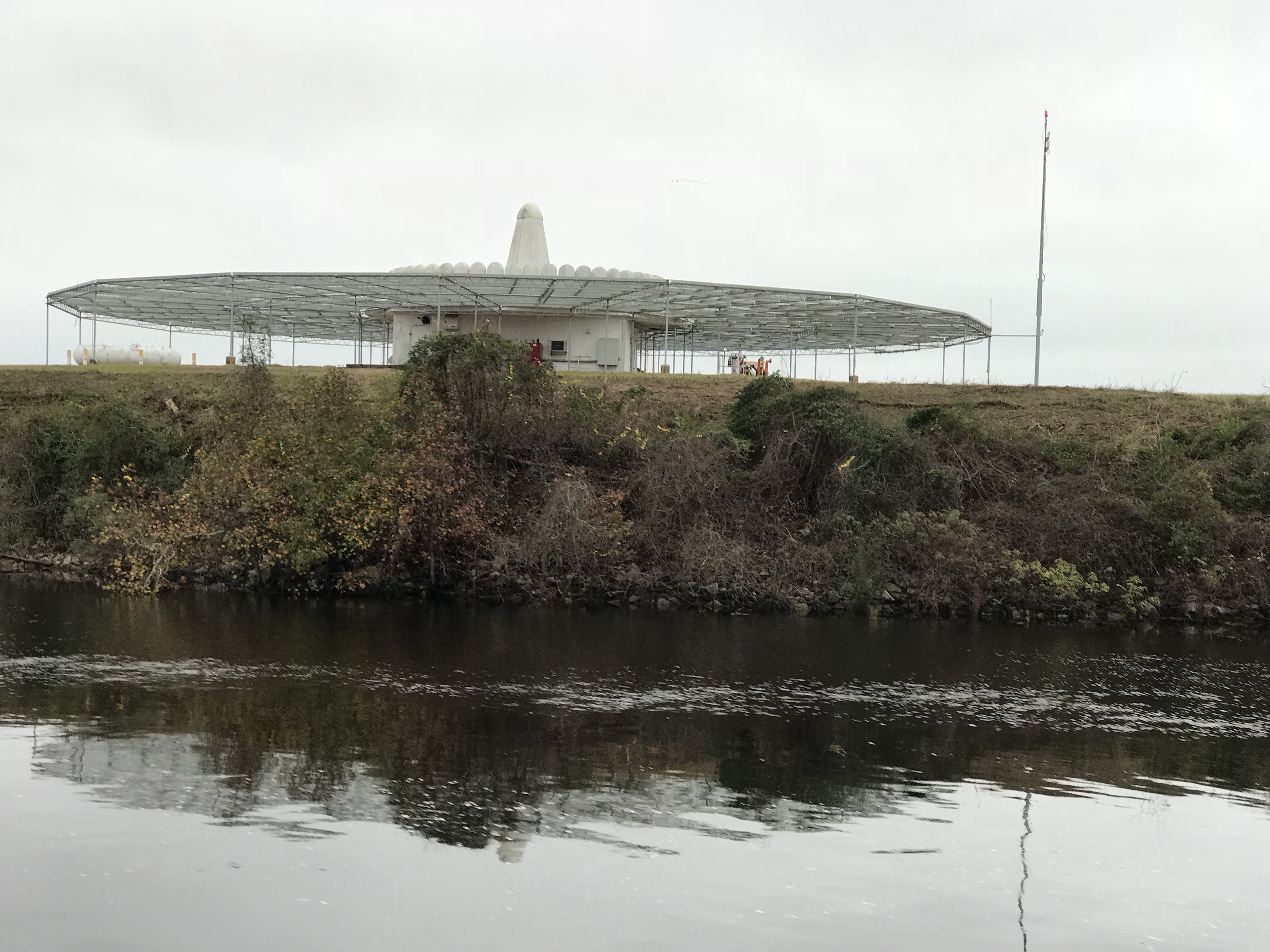 Close Encounters or an airport building, you decide.
 Who wants to walk under this rack with high winds and a 10K lb boat resting 80′ over your head?
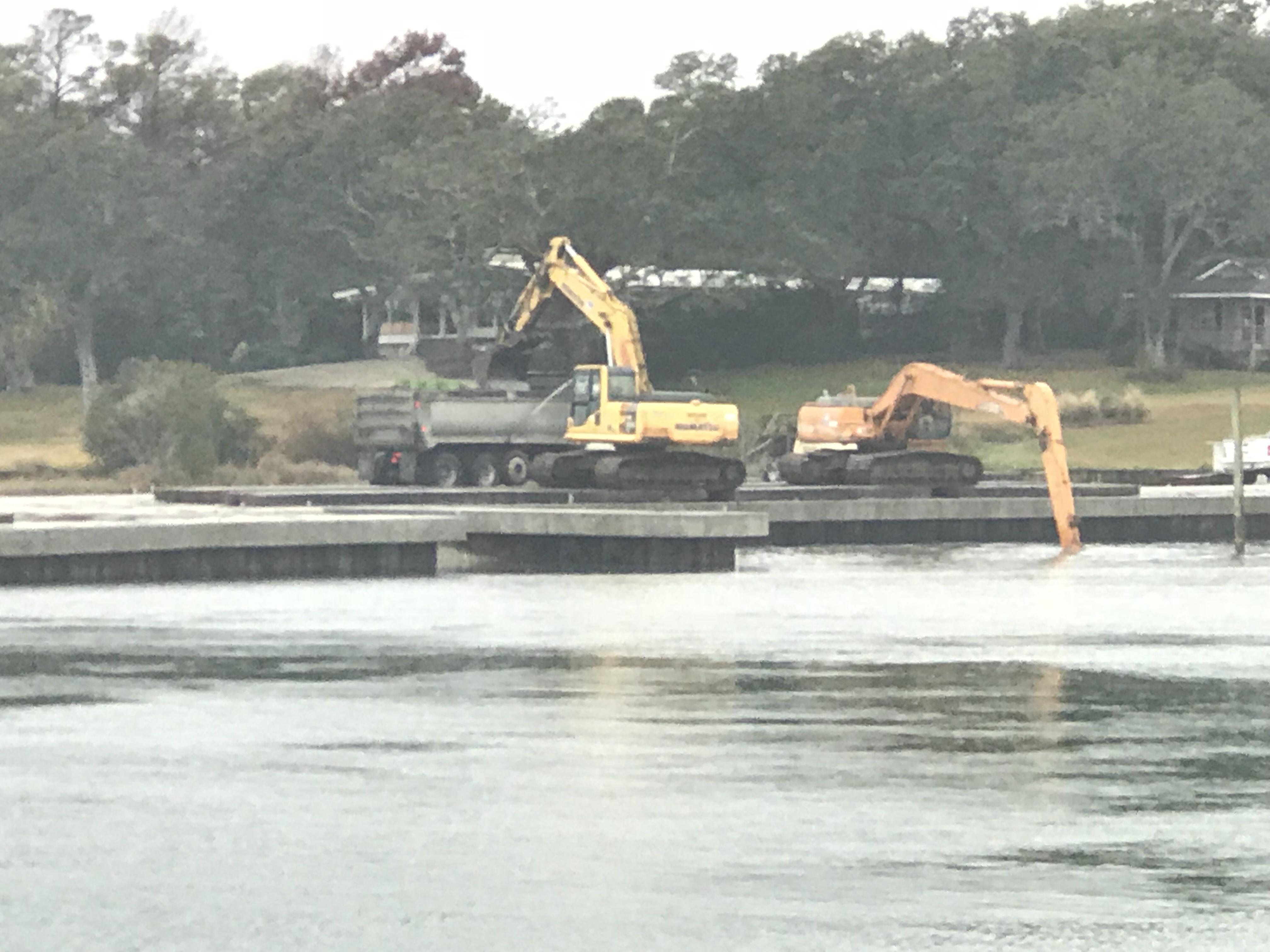
 Logs are the bumps in road of life They thud your hull or fold your wheel (that’s a propeller for the un-initiated)
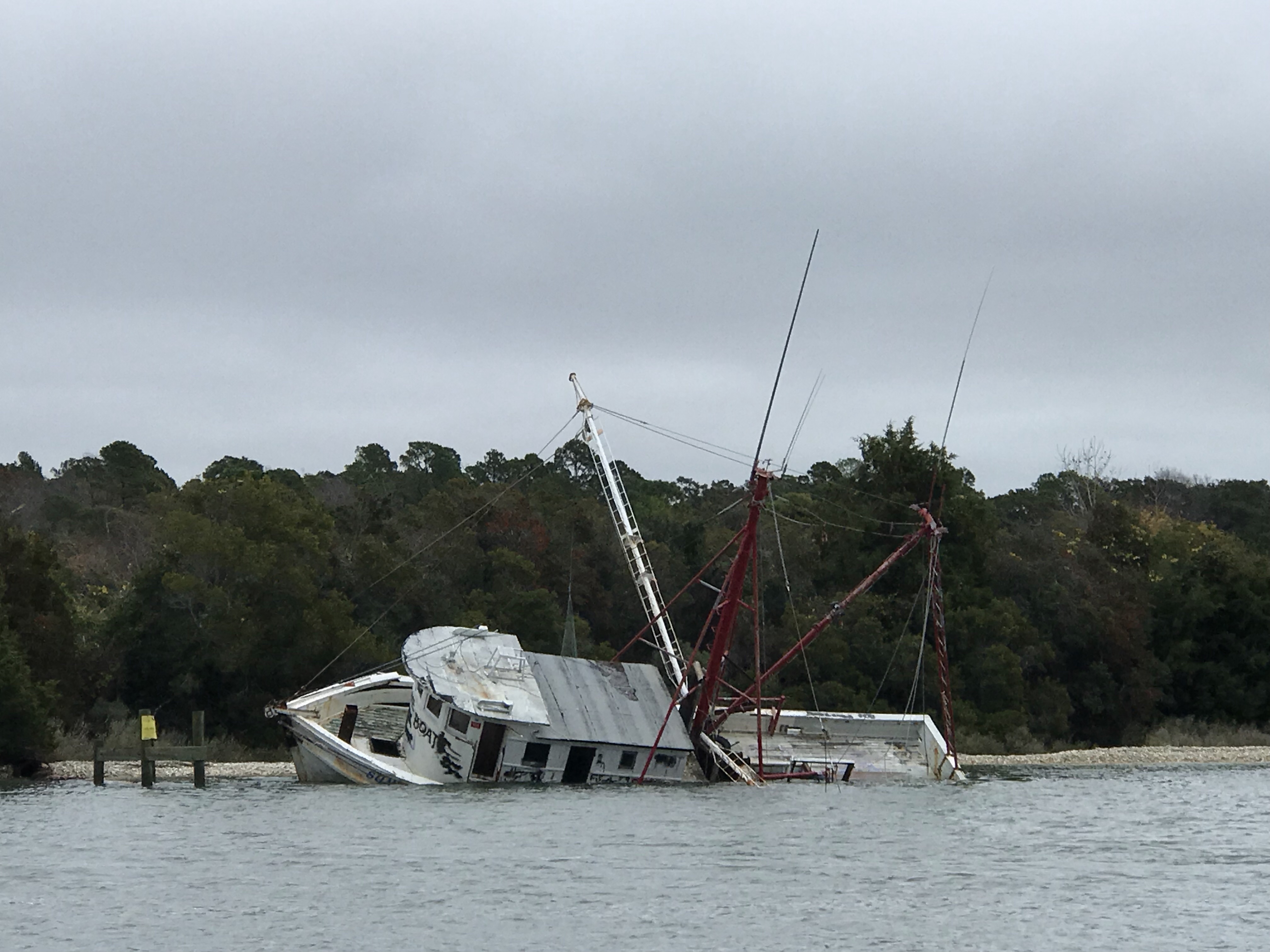 We hate to see beautiful commercial fishing boats listing on the bottom. We joke that we’d love to pull her up drain her beige, gut her and rebuild her giving her a sexy teak makeover. Kelly reminds me that the stink of a fishing boat is not washed off with soap.
 Ouch!
Ouch!


You must be logged in to post a comment.