
Thanksgiving
Well it’s Thanksgiving and Mike and his friends have invited me to T-Day dinner. It was a nice feeling to get the invite as it made my Thanksgiving.
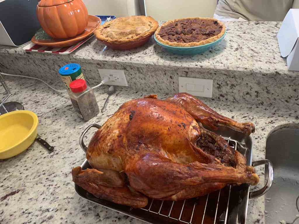
Yum 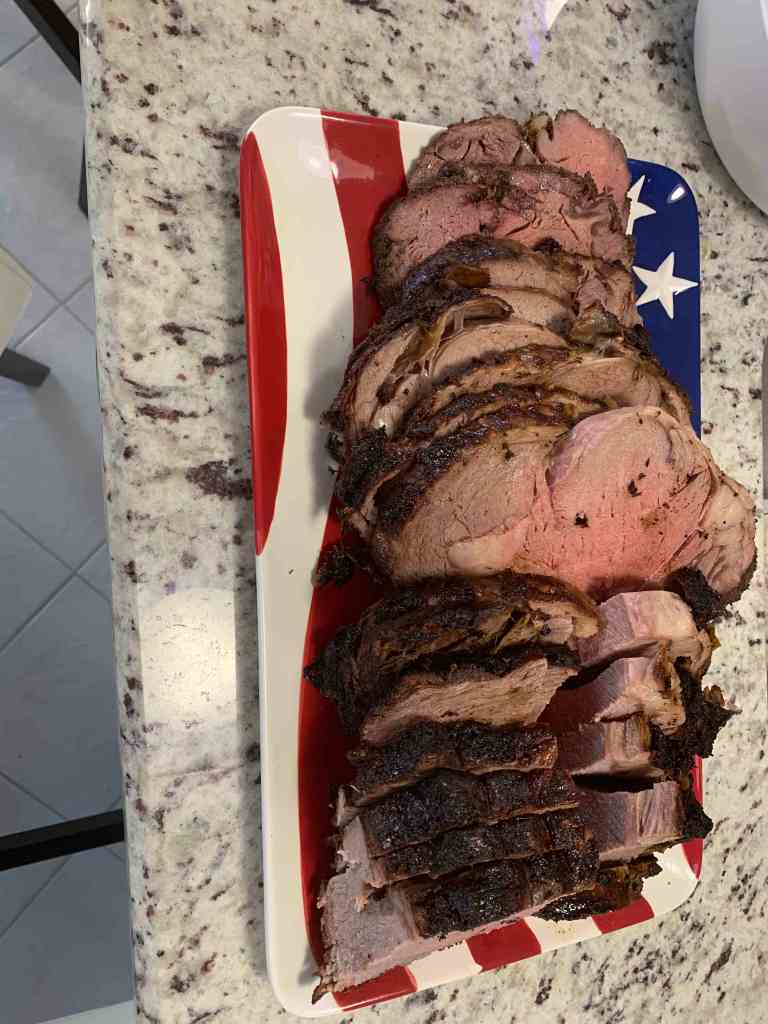
Sliced hot right out of the oven
Pub Crawling
The next night turned out to be a late one bar hoping around the Cape.

Buckets of beer @Overtime Sports 
I was seeking Salvation!! 
The Dek Bar 
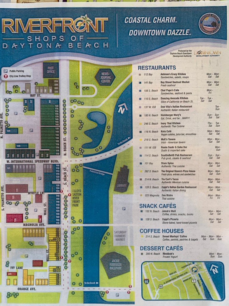
Finally back home to my marina 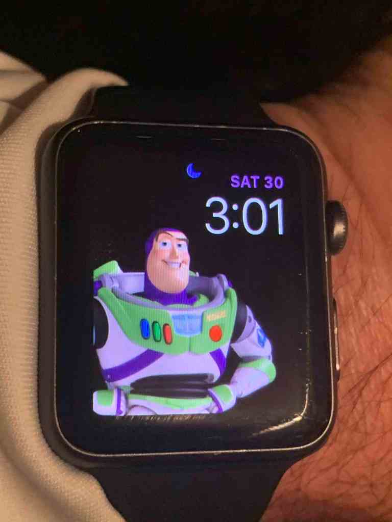
way past my bedtime 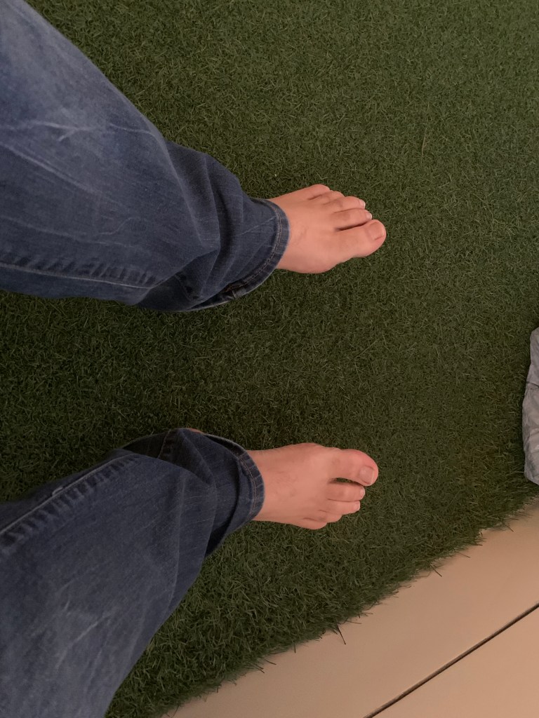
Felt good to feel the grass on my feet in the AM even if I seemed to have misplaced my shoes from last night
The Overtime Sports bar in South West Cape Coral is a great place for food and drinks with sports games playing on every TV that literally cover the walls.
I don’t believe I found salvation at The Dek but I do love the signage.
Why do I have a Buzz Light year face on my watch? Maybe cuz it’s 3AM and I am just pushing buttons without being able to read my watch?
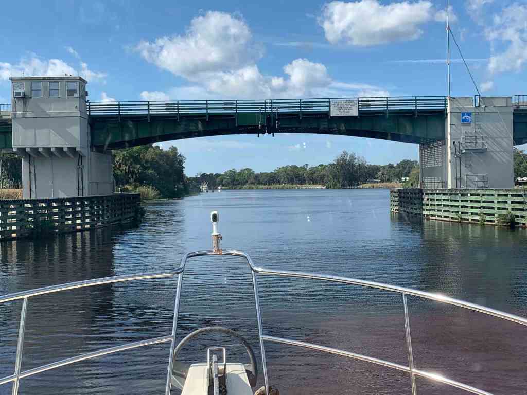
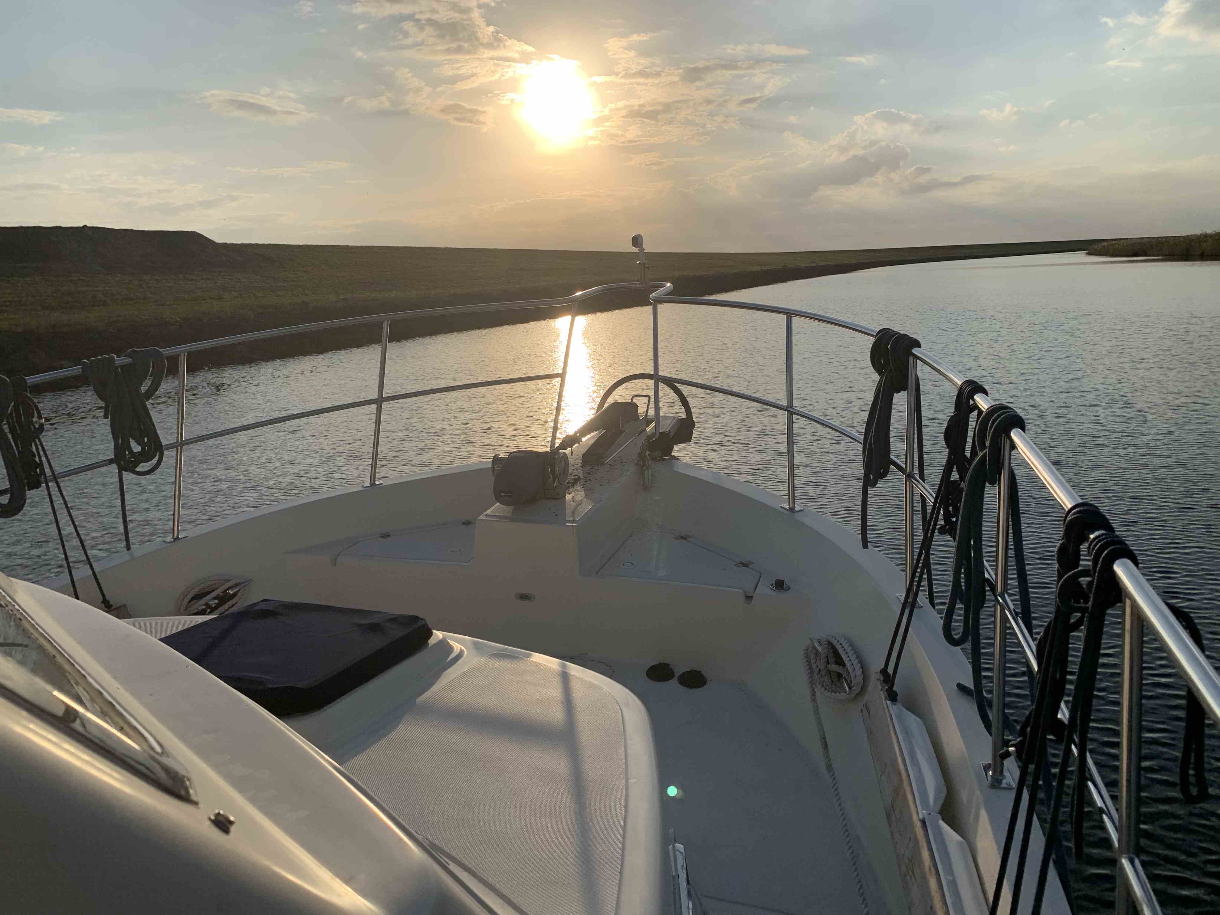
December 7th a day that will live in infamy
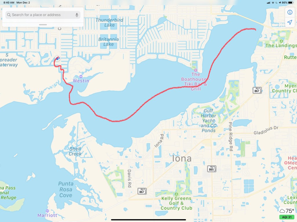
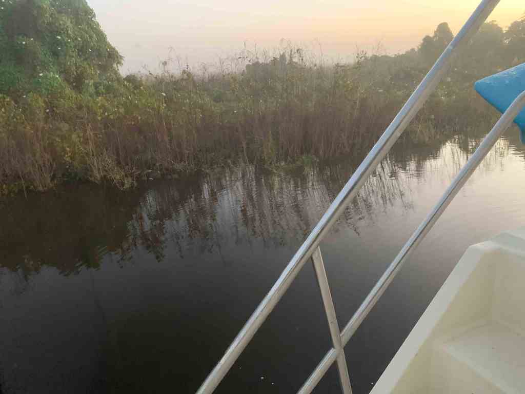
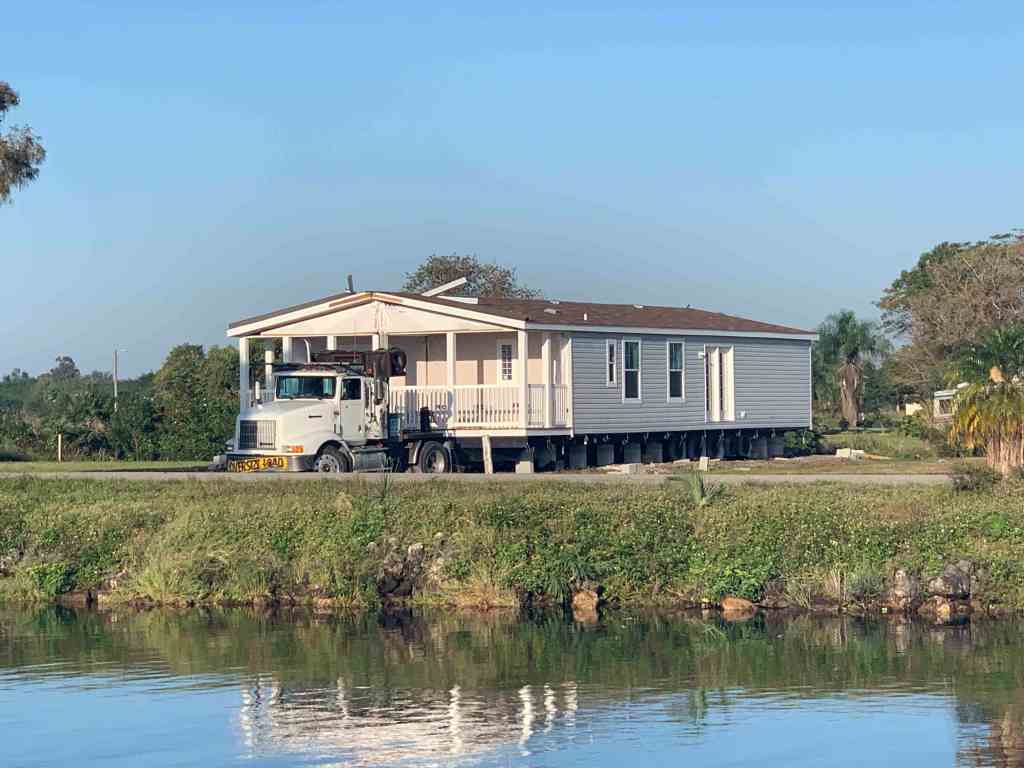
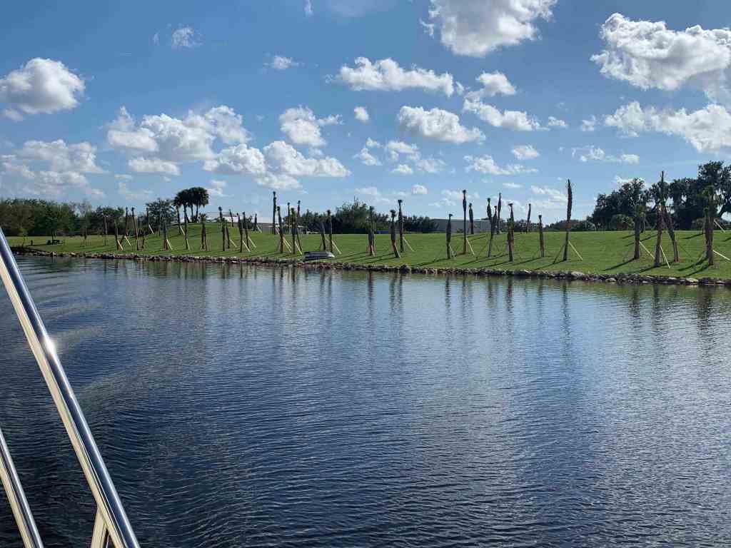
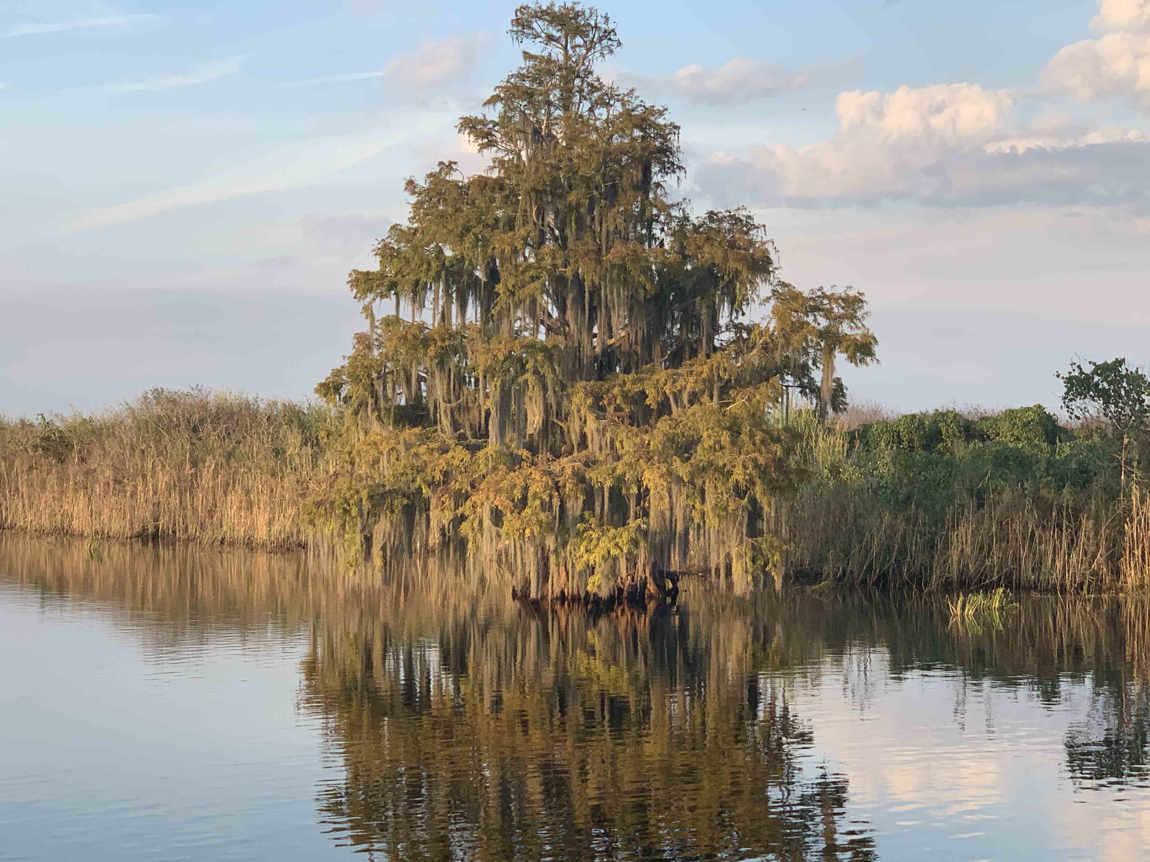
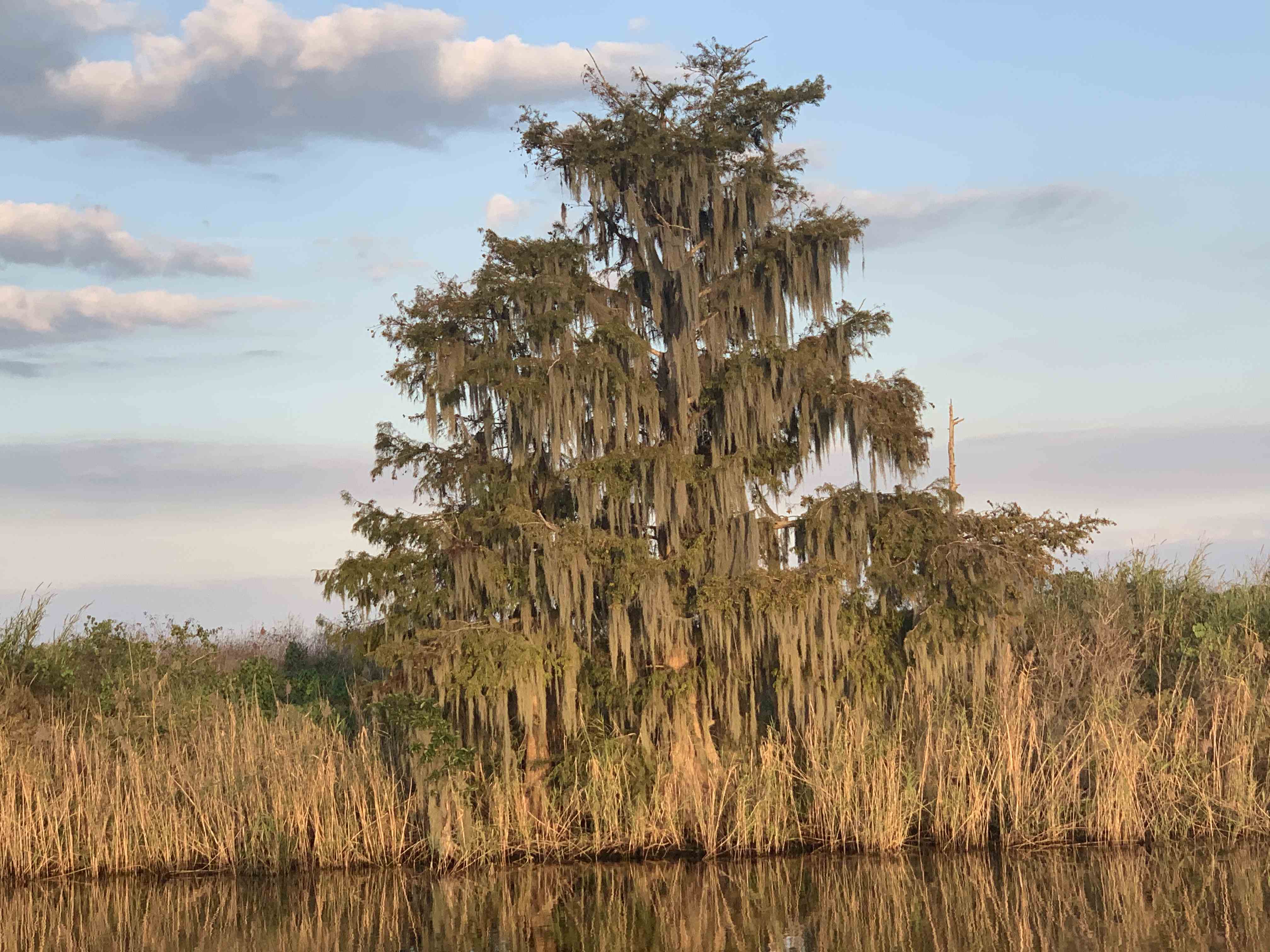
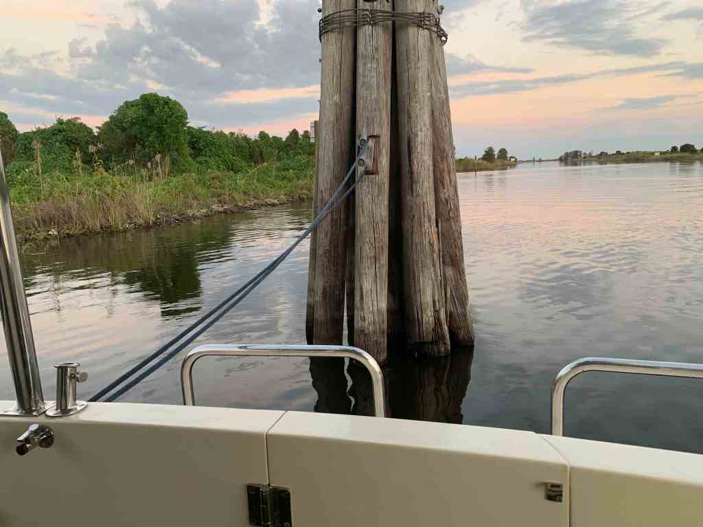
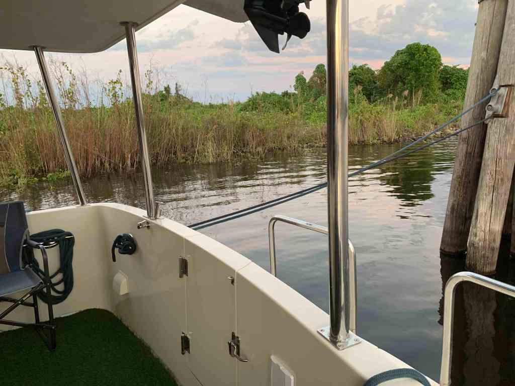
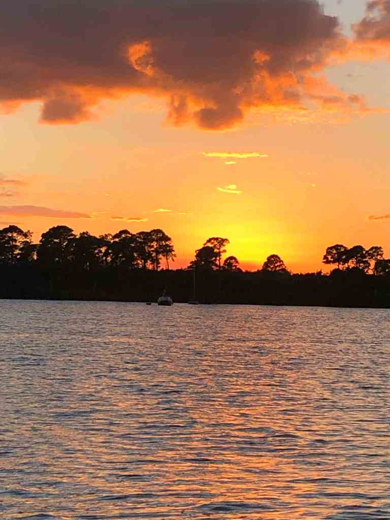
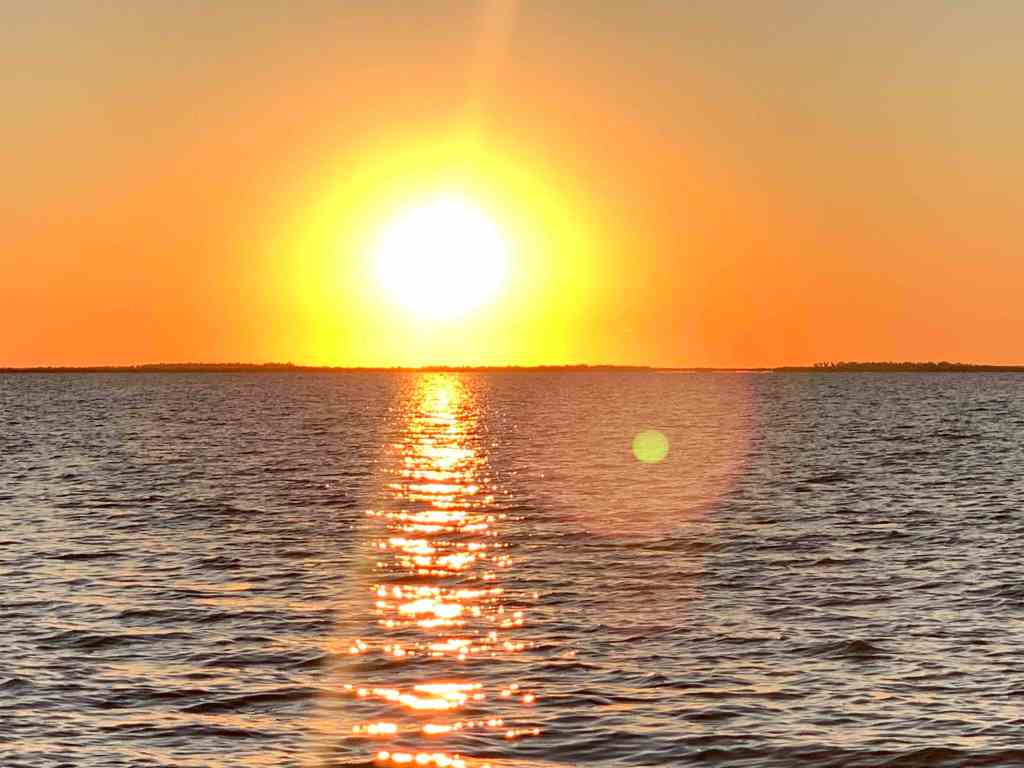
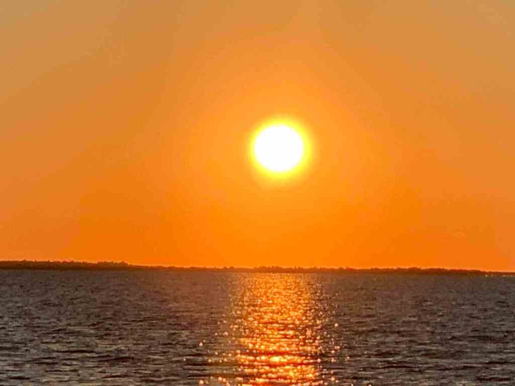
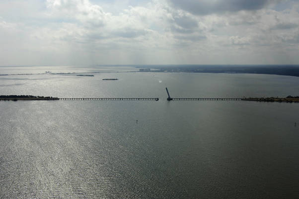
We started it off with a boat ride.
Dawson Canal is a narrow canal that leads up into St. James City on the southern tip of Pine Island. Lots of good places to tie up the boat and enjoy an IPA.
On our way to Fort Myers Beach you pass Punta Rassa. The location was named Punta Rasca (Spanish for “smooth or flat point” and later corrupted to “Punta Rassa“) by the Spanish Conquistadors in the mid-16th century, who unloaded cattle in the area.
We got back just in time to go to Dennis’s Christmas Party. Thanks Dennis for inviting me. It turned out to be a party I’ll remember.
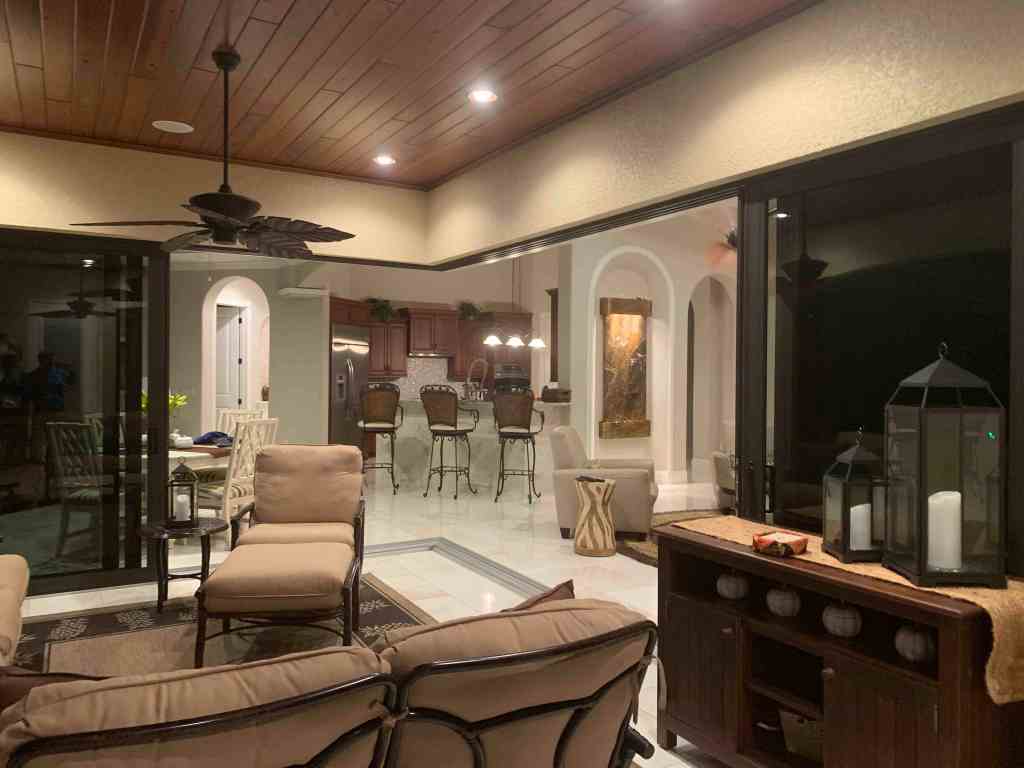
This is how you throw a house party in Cape Coral. Complete with catering, live band, tiki bars and so on.
We pulled up a seat on the mobile tiki bar. It’s a tiki bar built on top of a 4 wheeler where the bartender drives the bar around as you are seated.

Vince and I 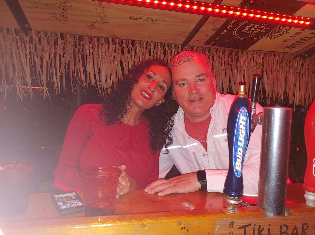
Claire and I
Spend some time talking with Vince about the PBR circuit and he will amaze you with his stories. Yes, Vince was a professional bull rider who now works as a charter captain.
Claire was my friend to visit with on my morning walks around the marina. Always with a big smile on her face.
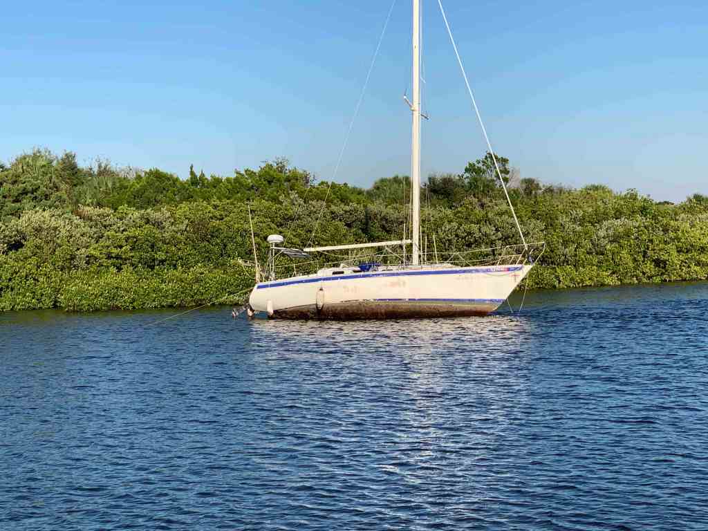
The Marina
The next morning I took it easy and walked around the marina.
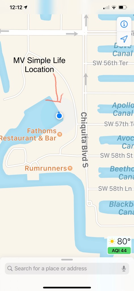
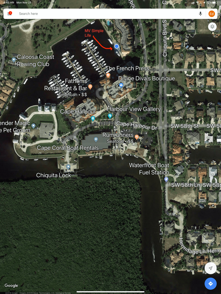
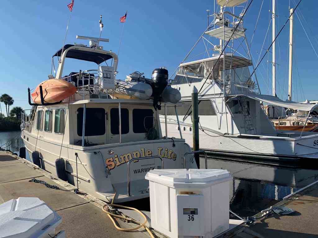
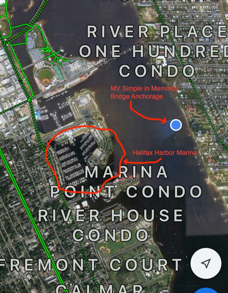
MV Simple Life’s Location in the Marina 
Marina Boardwalk 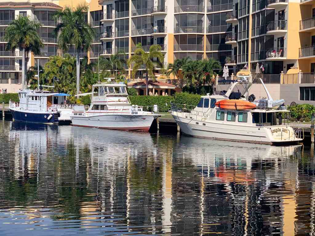
Simple Life and neighbors 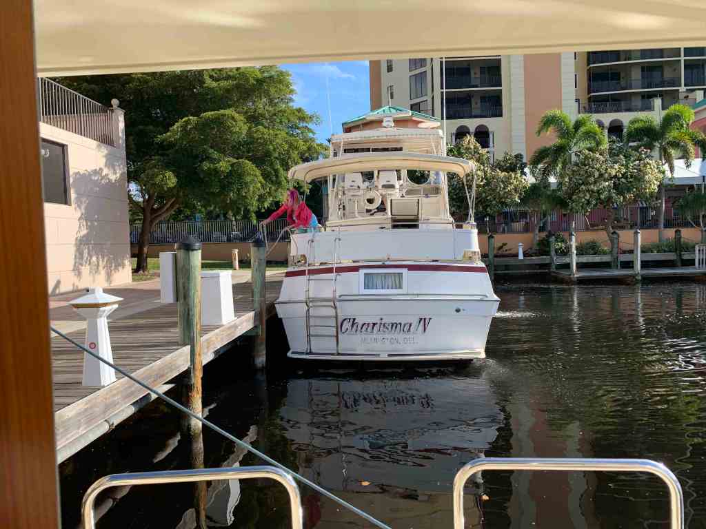
Ex-Drummer of the band Foreigner’s Boat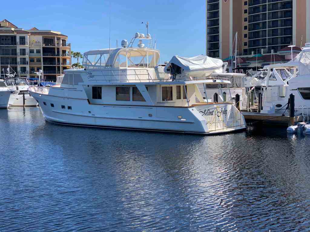
MV Mint Julep 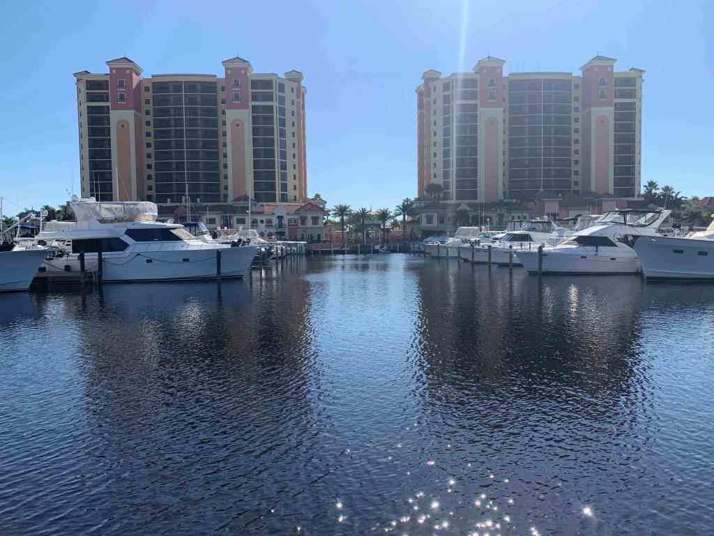
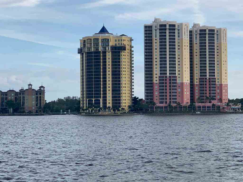
Twin HighRise Towers 
Homemade Steel Trawler 
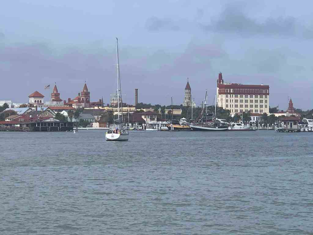
View from the channel 
Silverton I believe
Cadillac golf cart 
Rum Runners outdoor seating 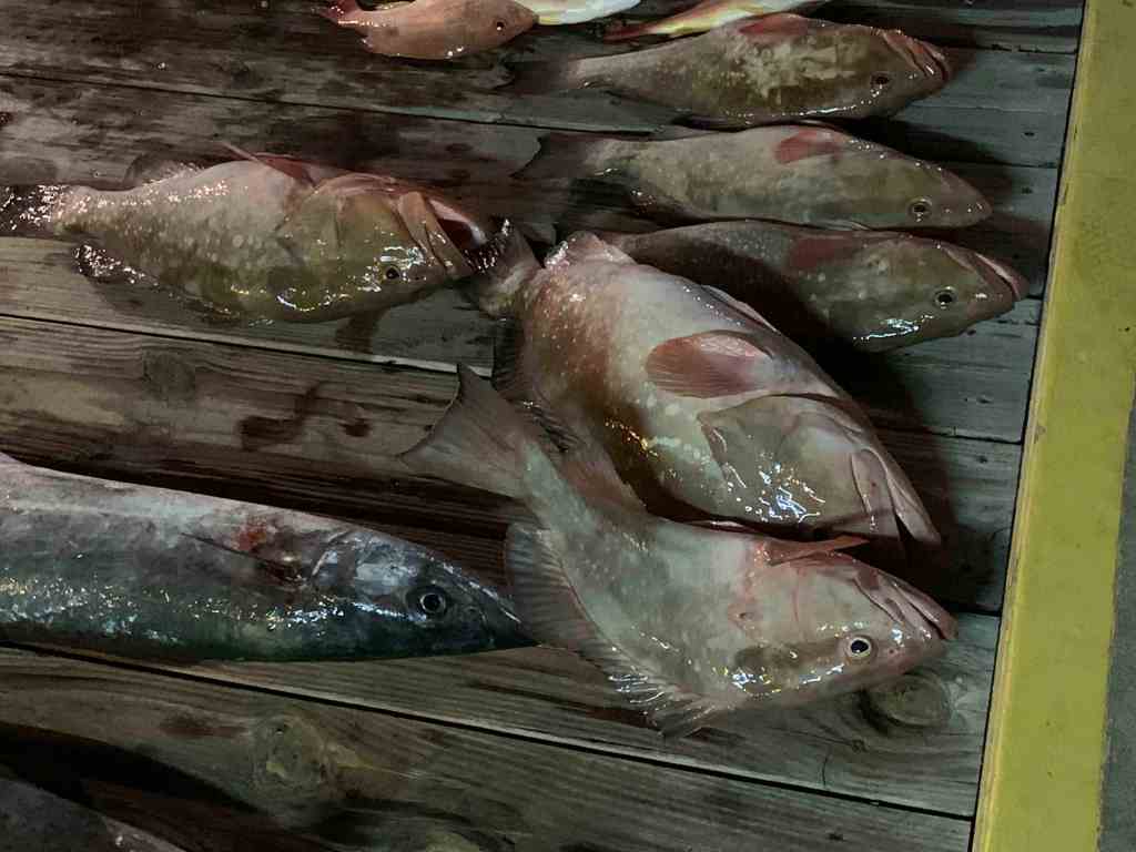
Red Snapper on the docks in front of Tiki Bar 
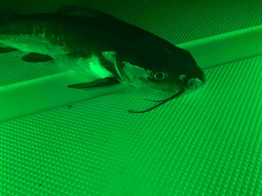
Wahoo Maybe?
One of the boats I was told was owned by the band Foreigner’s ex-drummer. Having grown up listening to the Foreigner 4 album I could not resist searching my iPhone for some Foreigner and playing it aboard. I got a strange look from the captain so I’m guessing he was in the band?
Cape Harbour Marina has many nice boats and is surrounded by fancy high-rise towers. You’ll find great restaurants like Fathoms & Rumrunners as well as the V.O. Tiki Bar.
Someone keep me honest on my fish species identification here?
House Partying

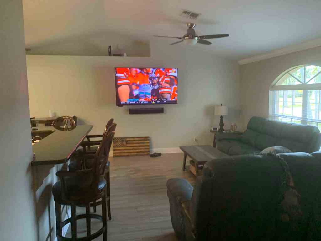
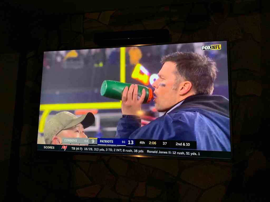
If you are into sports like Tom & Chuck you build walls of TVs all streaming different games 
Emily, Shelly & Steve 
Shots 
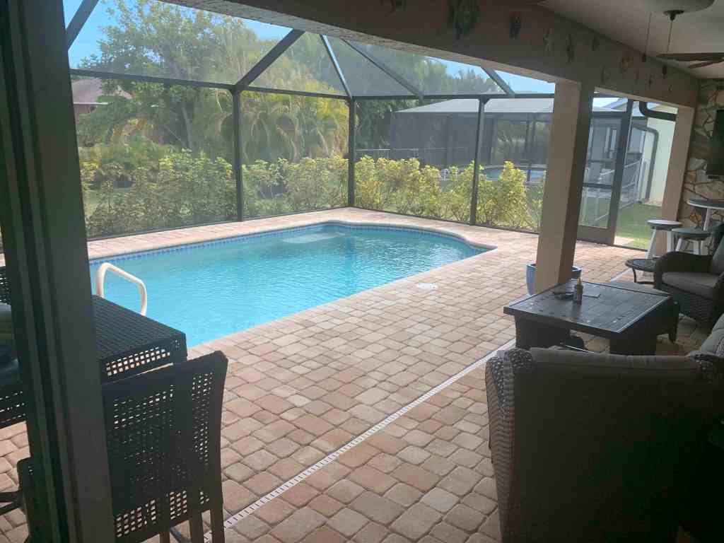
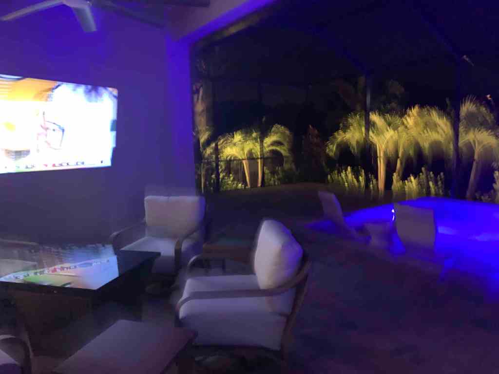
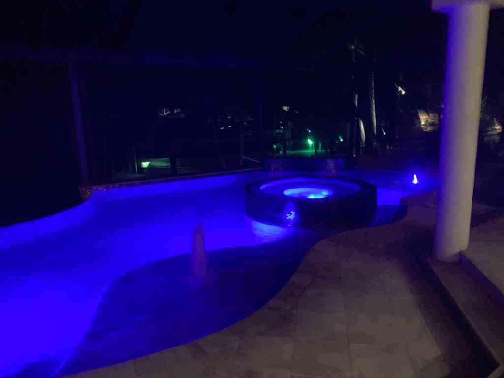
Poolside for the Patriots game 
Shelly – always at the center of the party
Mike’s group of friends were so enjoyable and quickly accepted me into their group of friends. Cape Coral felt like a second home almost instantly.


You must be logged in to post a comment.