We departed Elizabeth City and I thought to myself… I’ll be back.
Terminator is leaving Elizabeth City, NC
We wanted to get ahead of the weather that was coming in two days. When you cruise on a slow boat, how far you get depends on how early and late you run. There is no “just crank up the throttle and double the distance”. That meant we were making breakfast while underway.
Captains Favorite Hash, Eggs & Bacon
The cruise down the Pasquotank River was peaceful.
Pasquotank River Sunrise
Buddy was working on the bow and the seas were flat.
Buddy Neatening our Lines on the Bow
A catamaran was slowing passing us. I could not quite get the name but wonder now as I type if it was the catamaran that hailed from Alaska that we would eventually tie up next to?
Catamaran in the Pasquotank River
Buddy was quick to point out a dirigible hanger along the rivers edge. I had never seen one.
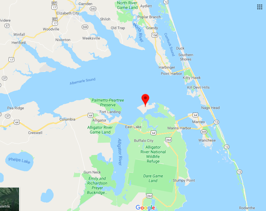
Soon we were crossing Albemarle Sound and making our way into the Alligator River. You must get through the Alligator River swing bridge before coming to the aptly named Alligator River Pungo River Canal.
Approximation of Today’s Leg of our Journey
The southern end of the Alligator River begins to narrow and you find the entrance to the Alligator River Pungo River Canal. This canal was an engineered cut through the land and you can set the autopilot and go for what seems like miles before you have to make a tiny adjustment to your heading.
In the canal and all along the ICW you pass what are called ICW statute mile markers.
ICW Statute Mile Marker 115
You will almost definitely have to pass a tug & barge
Tug pushing a covered barge
Wave to the captain as you pass
With the day coming to a close we decided to anchor at the southern end of the canal rather than push on to the town of Belhaven, NC.
Our Anchorage for the Night
Luckily for us it was not duck hunting season or I’m sure we’d be seeing shotgun barrels poking out of the grasses that line the banks.
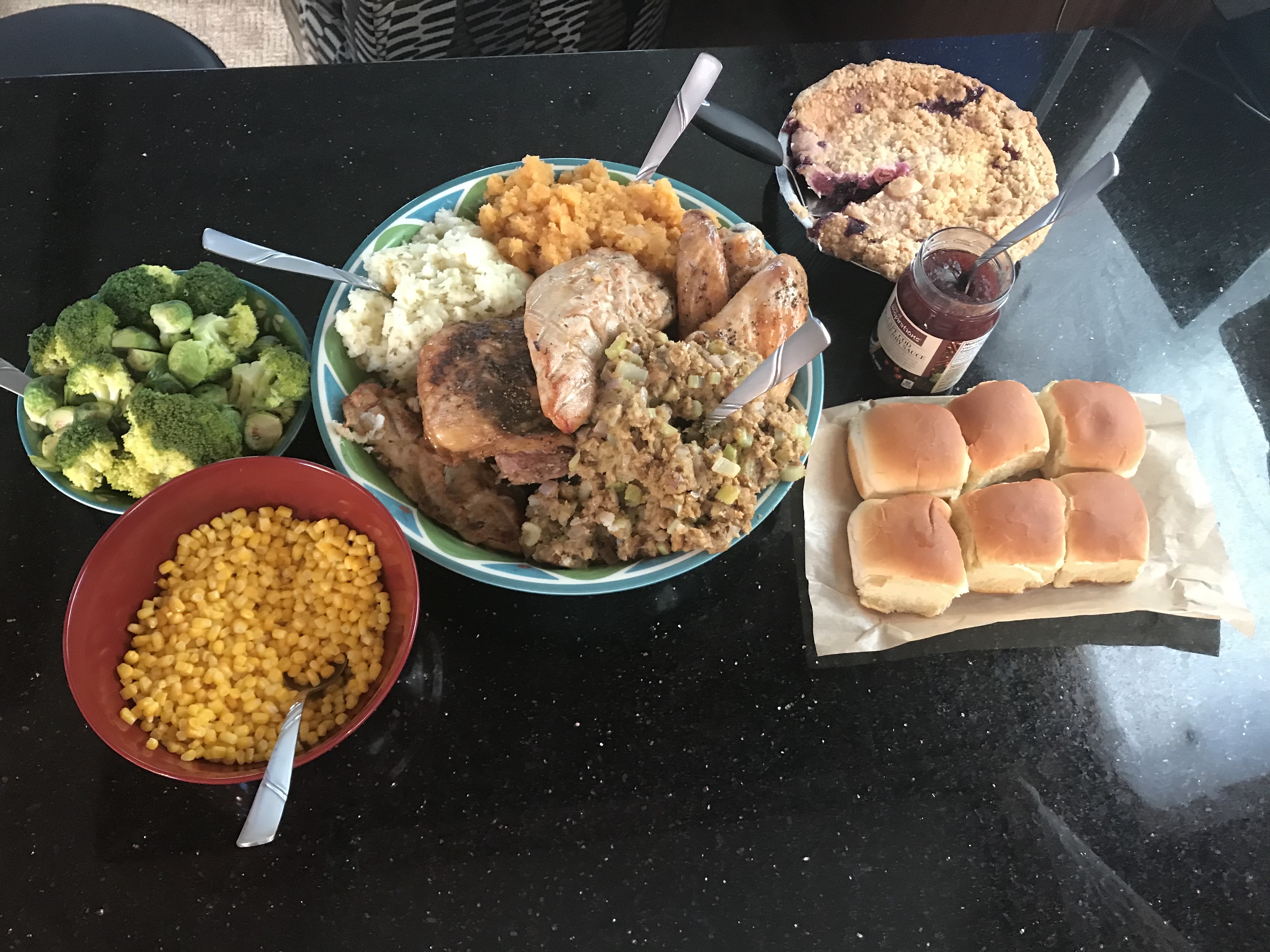
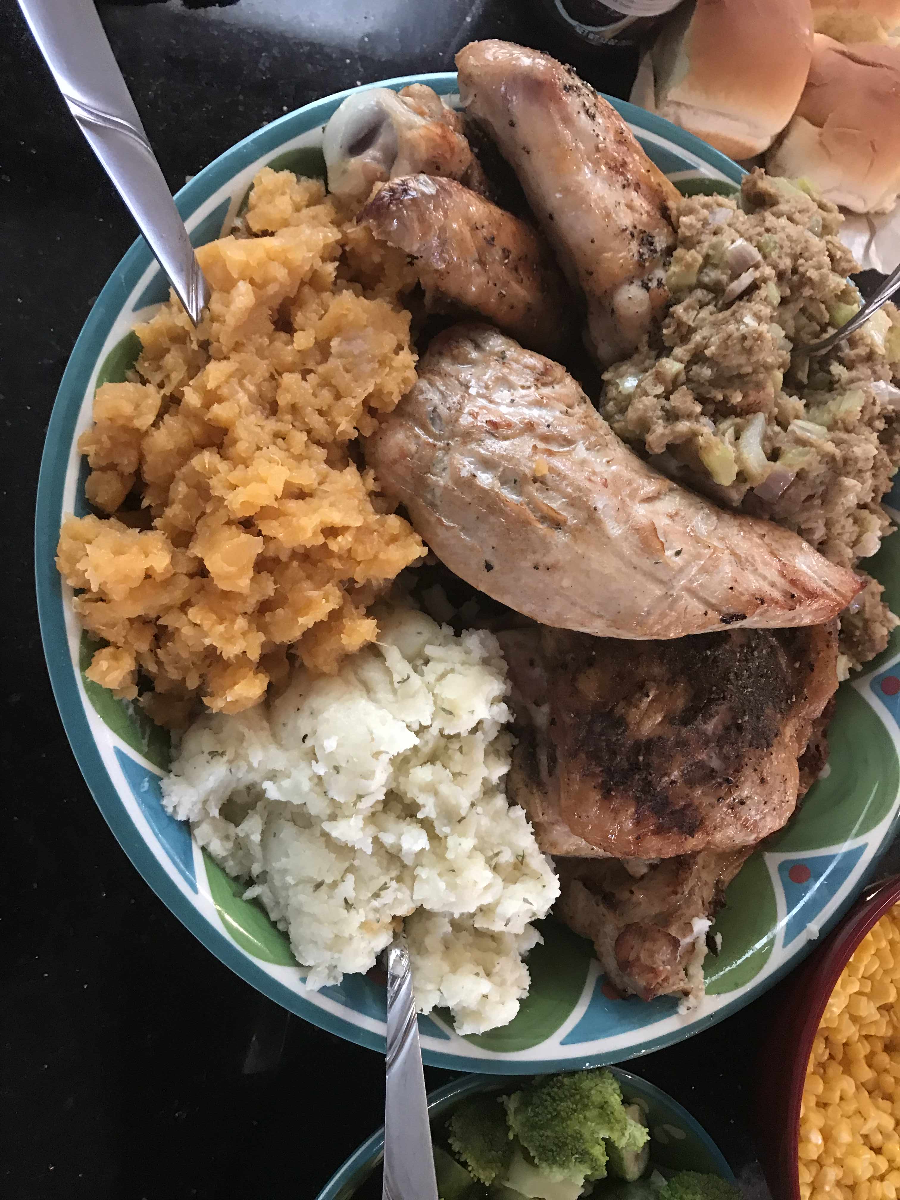
We spent Thanksgiving at Top Rack Marian. Kelly used InstaCart grocery delivery service to order everything that she needed and whipped up an amazing turkey dinner. This woman has skills :-).
All the Fix’ins
Yumm
Pie at the helm while underway
Saloon cleaned up after T-Day dinner.
We left Top Rack Marina after sharing an amazing Thanksgiving aboard. However, the temps were dipping into the 30’s at night and we needed to go South as fast as possible.
Leaving Top Rack Marina
a mile or two South down the ICW is the Great Bridge Lock. The water level only drops 2-3 ft so it’s pretty gentle as far as river locks go. However, the ICW (InterCoastal Waterway) is a federal commerce waterway and that means that it’s there for commercial boats first and pleasure boaters second. We had a stand aside while the lock tender let this huge tug and barge in ahead of us.
Tug & Barge
They asked us if we felt comfortable trying to squeeze past the tug n barge to get ahead of it in the lock. Challenge accepted.
Then it was through the “normally open except for when a train is a coming” bridge.
If a train comes and it starts a lower.. push the throttle to the pins 😉
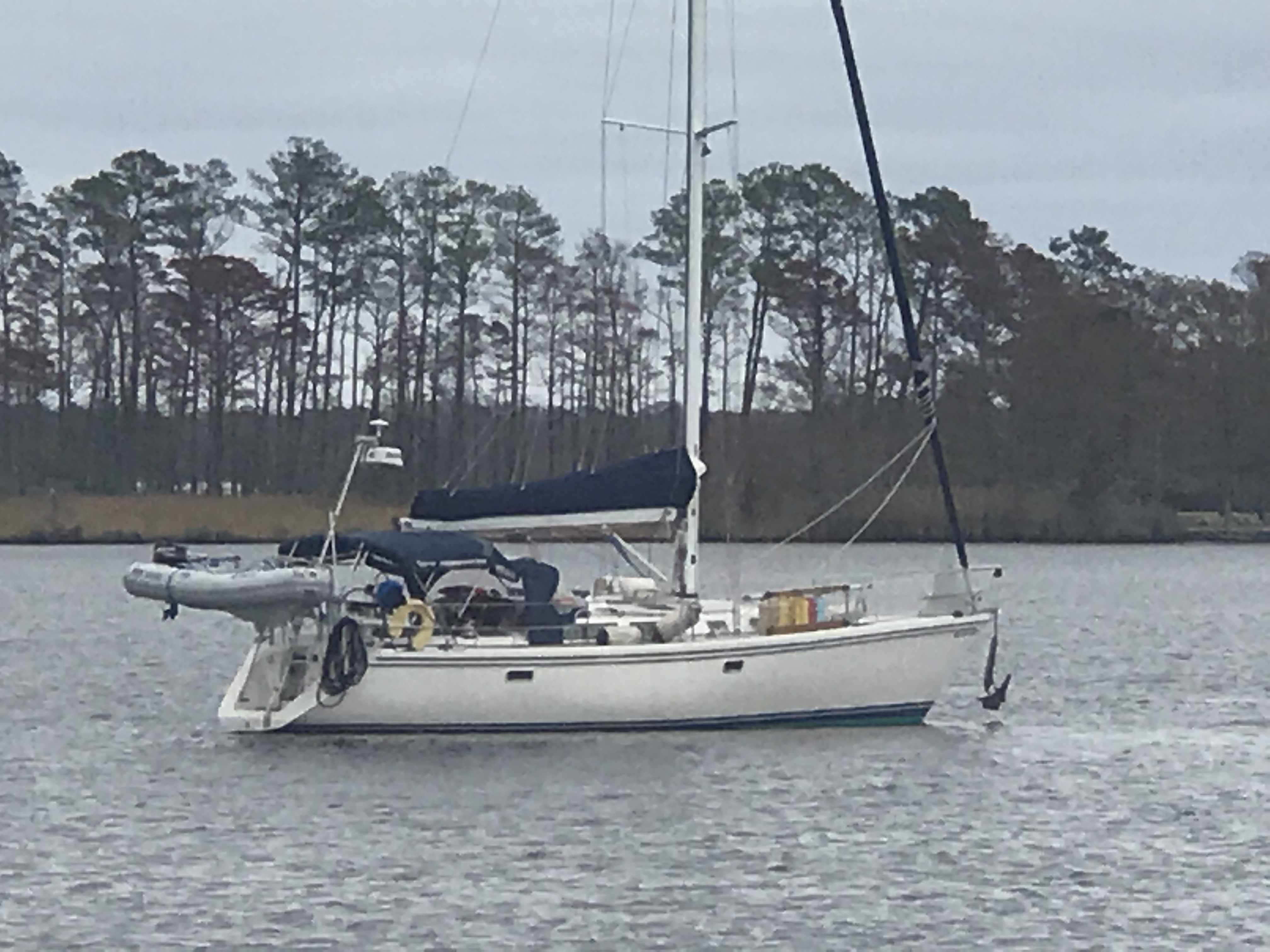
Not long after that we were passing Coinjock Marina in NC. This is normally our stopping point for the night but the winds were going to increase early in the AM so we decided to anchor just before our Albemarle Sound crossing. On our way to our anchorage we heard a sailboat on the VHF hailing TowBoatUS to come pull them out of the shallows. It was 1.5 hours before low tide so it was only going to get worse.
This boat had wandered outside of the narrow channel and run aground
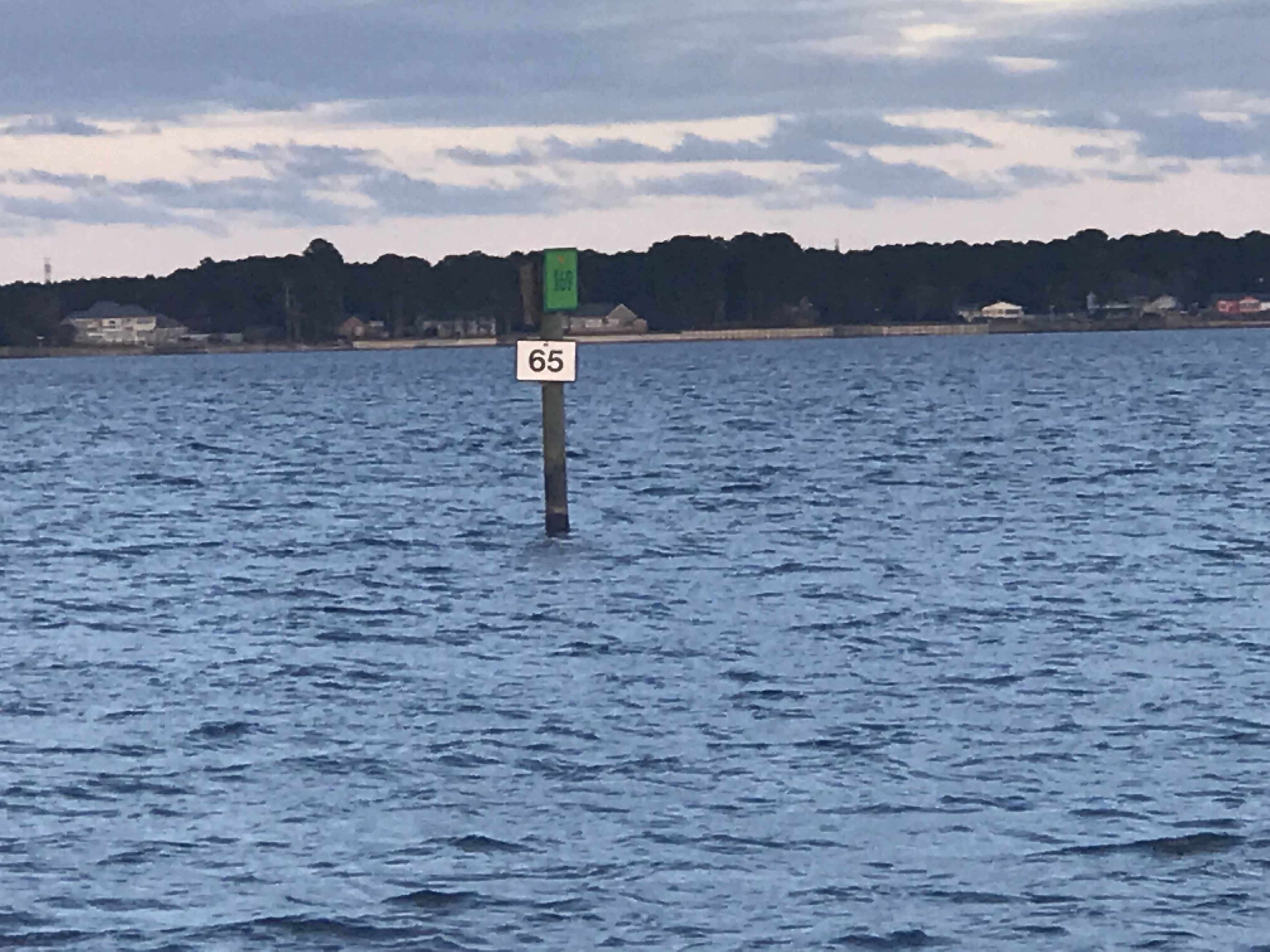
Soon we were passing ICW mile markers 55 & 65 and approaching our anchorage for the night.
I did one last check to see if the weather forecast had changed and … it had.
The strong winds were going to come before sunrise so Kelly & I decided do a nighttime crossing of Albemarle sound and anchor in the Alligator River rather than have a lumpy crossing in the AM.
Just before the sun went down we snapped one more photo.
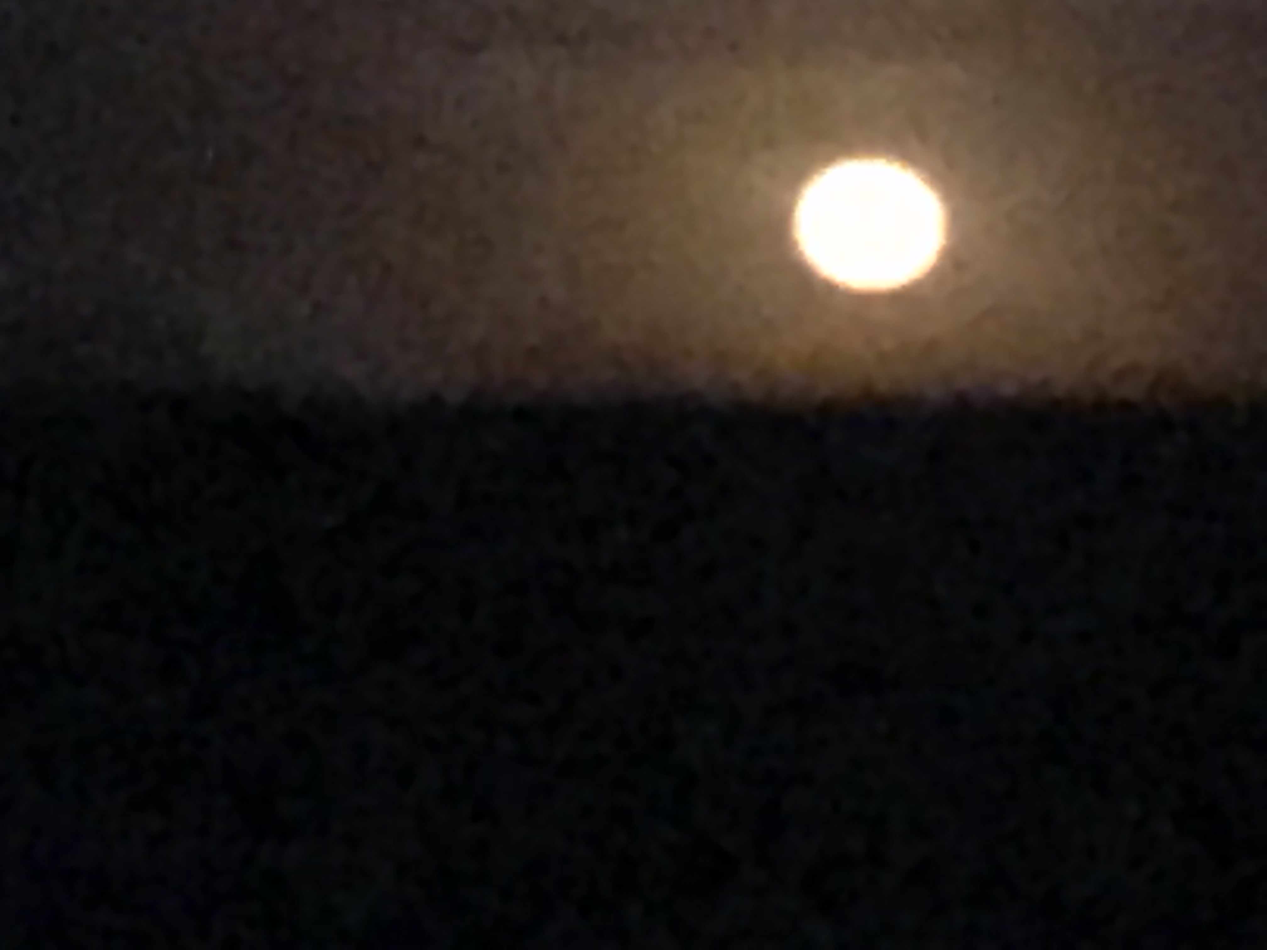
The full moon came up but we were not running into it but away from it. I always prefer to run down the moonstreak as it helps me spot crap pot floats before we run them over and wrap the line around our propeller.
Full Moon
The crossing was a bit lumpy but we picked a spot to anchor behind Durant Island that would give us a lee shore. Tonight we will sleep well and get plan for a sunrise departure before the wind starts to whip in the AM.
Anchored Behind Durant Island (red marker)
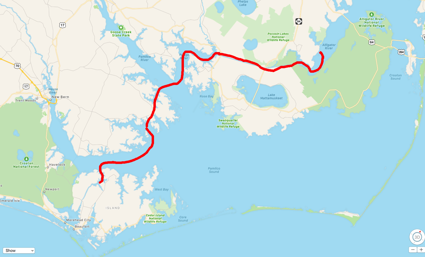
Today’s leg was 70 NM from Chesapeake, VA to Durant Island, NC. This year we agreed to throttle-back to somewhere in the 6 knot range and stay in the 3 NM / gallon diesel range. We conservatively plan to make 50 NM / day. That’s 10 hours of daylight x 6 kts minus time weighing / dropping anchor and waiting for bridges to open.
Apple Maps Screen Capture with Finger Drawn Route – A Close Approximation
We awoke at sunrise and just before pulling anchor, I snapped a few photos of just how still this anchorage was in Adam’s Creek.
Sun Reflection off Still Waters
Active Captain Royal Thurman Anchorage
Today’s ICW route through Pamlico Sound would end just short of crossing Albemarle Sound. Our route looked something like this.
ICW Route Through Pamlico Sound and almost into Albemarle Sound
On our way out of Adam’s Creek, I hailed a loaded tug and barge to let them know we would deviate from the channel and not impede their passage. The strong current was at their back forcing them to keep their speed up. As a tug captain it’s better to be driving the barge rather than being driven by the current. It’s always better to push a barge into a current than be pushed by it. At least that is how I understand it.
Tug & Loaded Barge in Adam’s Creek Channel
We no sooner exited Adam’s Creek into the Neuse River and passed this beautiful schooner with the captain at the helm and sails set.
Capt was still in the process of raising his staysail
Once it Pamlico Sound you realize it is a pretty large sound. Wikipedia defines a sound as, “…In geography, a sound is a large sea or ocean inlet larger than a bay, deeper than a bight, and wider than a fjord; or a narrow sea or ocean channel between two bodies of land (see also strait)…”. These geography terms can be confusing.
Pamlico Sound
As we motored on, a USCG boat hailed us over VHF channel 16 and let us know to stay to port as we passed. They had a line around and were pulling what remained of a green daymark piling using their boat. Our best guess is that a boat hit the piling in the night and snapped it off. We figured they were dislodging it so that it would not float away and become a hazard to navigation?
USCG with a line off their bow to a green daymark that was broken off.
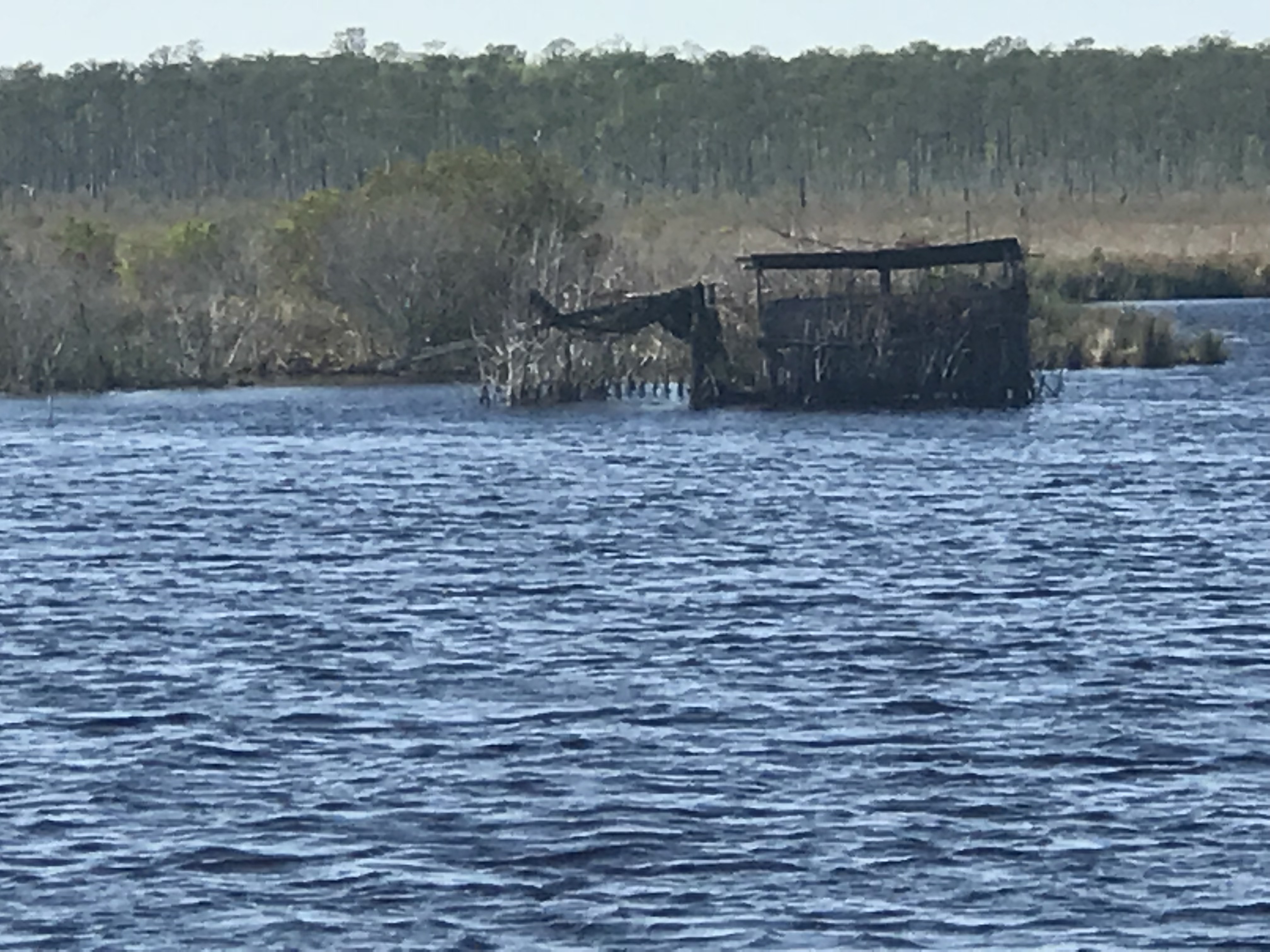
We passed a several duck blinds confirming that North Carolina is duck hunting country.
Duck Blind – Do they really fall for this?
As we motored on we were reminded that we are getting closer to ICW mile marker 0 in Norfolk, VA.
Statute Mile 160
Statute Mile 125
Statute Mile 115
Statute Mile 100
The predicted forecast for Albemarle Sound had the wind out of the West at only 10-15 kts.
Albemarle Sound forecast 10-15 out of the West
We chose an anchorage with a small fetch to the West but far enough off the shore that we could open the hatches and get a good breeze while we slept.
Alligator River Anchorage
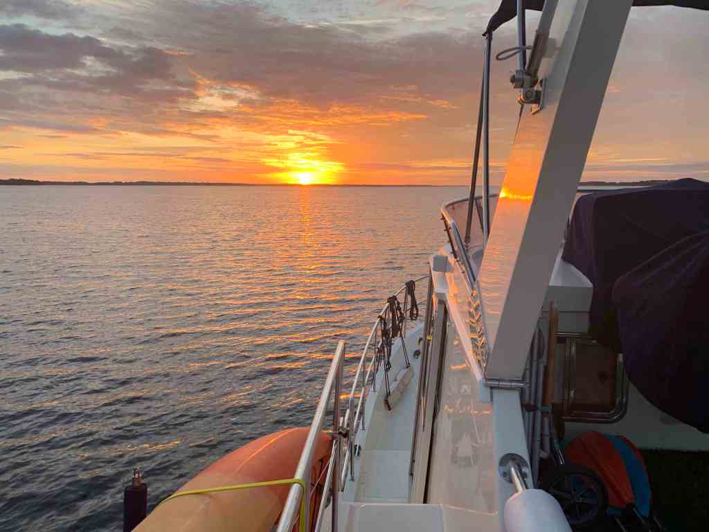
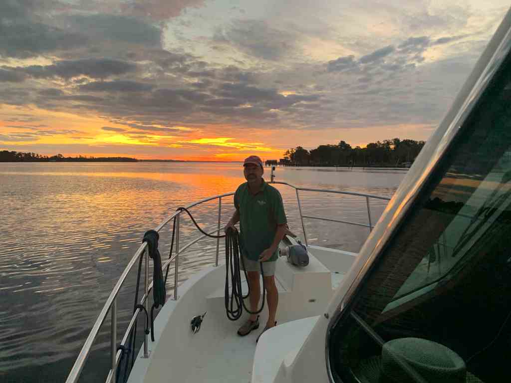
As I was setting the anchor on the bow I looked up and snapped this photo of the setting sun.
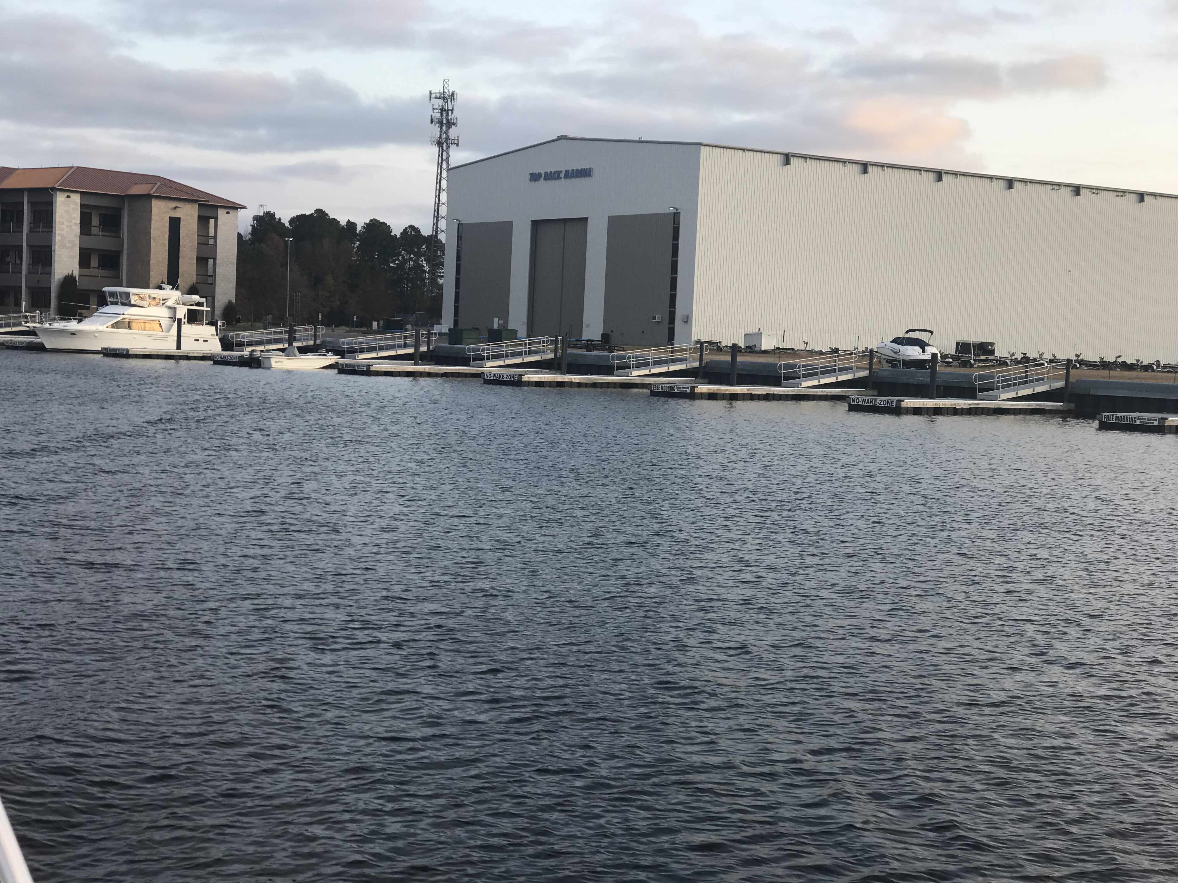
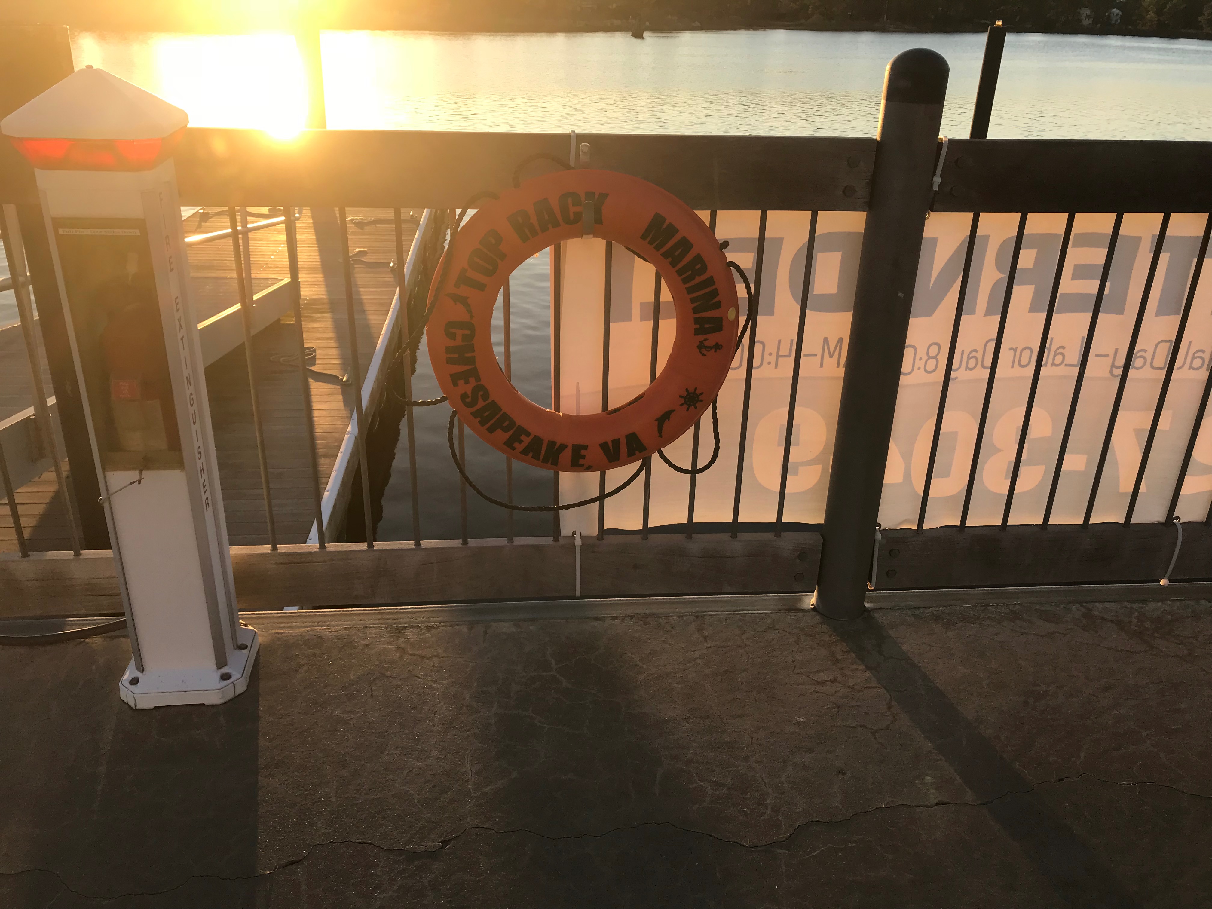
We spent two nights at the Top Rack Marina (ICW Statute Mile 8.8) in Chesapeake, VA.
Top Rack Marina – a nice stop along the ICW
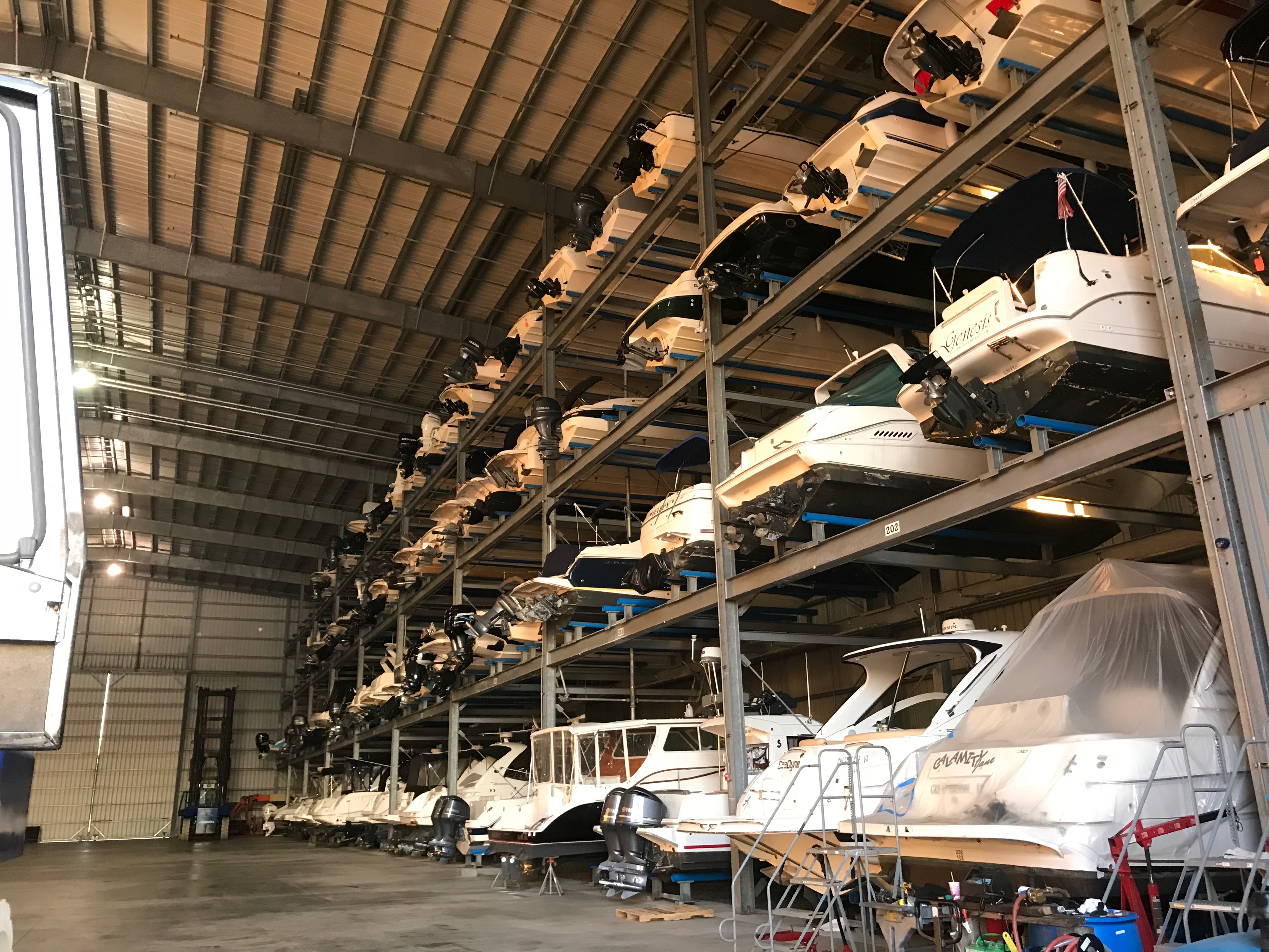
What a great place to stop. When we arrived at the marina, Ben was there to catch our lines and greet us with a some Virginian southern hospitality. Top Rack Marina is a “dry rack storage” marina. These style of marinas store their customer’s boats on indoor racks rather than floating in a traditional “wet slip”. Customers simply call and request their boat dropped into one of the dozen or so wet slips in the marina’s water edge.
Kelly relaxing in the cockpit
Indoor racks hold boats like a grocery store shelf
Outdoor racks act as staging locations as boats are washed, flushed and prepped
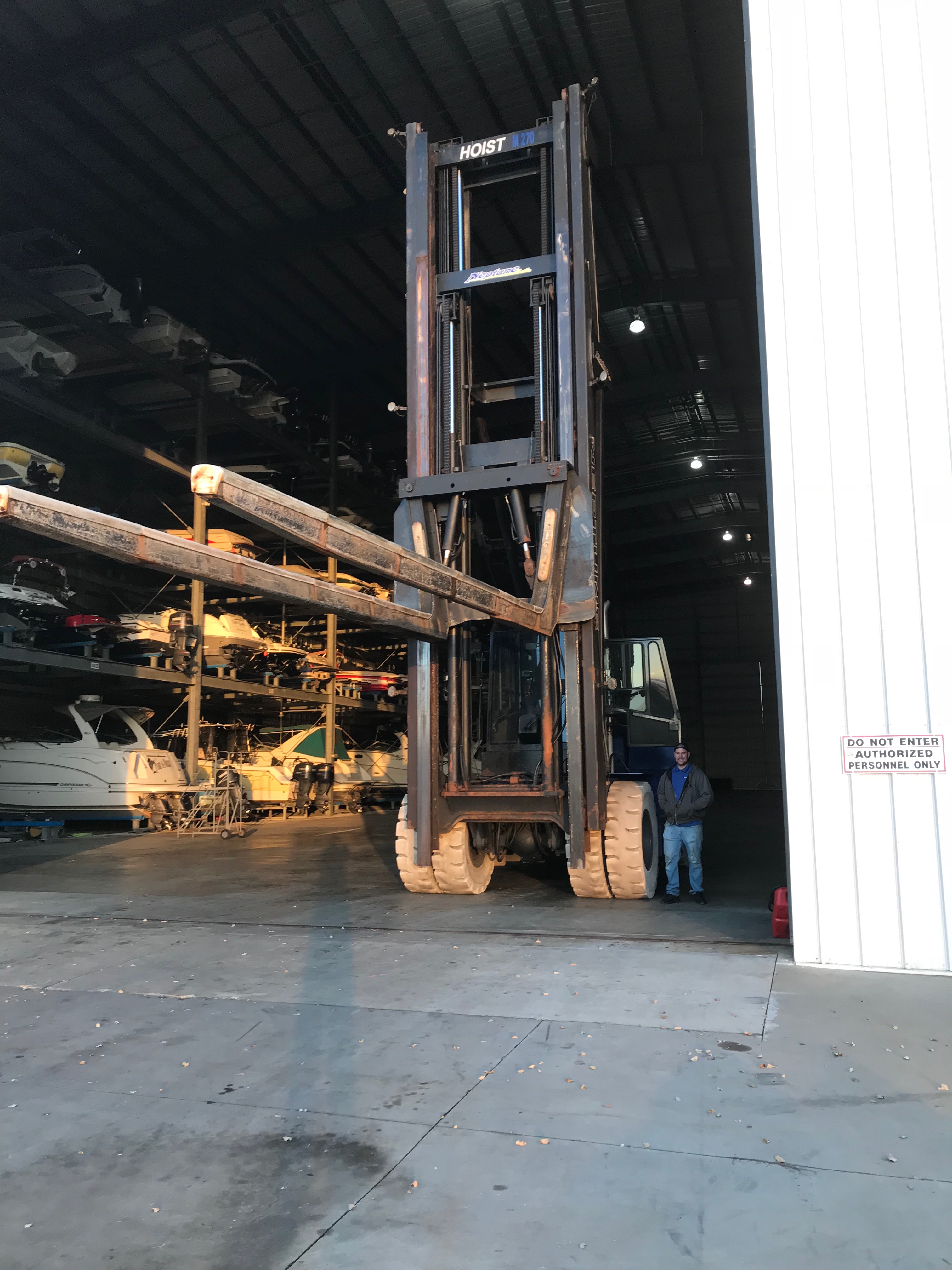
Their giant fork truck moves boats effortlessly and can be intimidating as it whirls around with a boat high in the air.
We decided to stay for two nights and re-provision the boat. Usually we would have to grab a Uber to a nearby grocery store but we have found that grocery delivery services are a much faster, cheaper and a far simpler way to restock. When we were in Brick, NJ we used Peapod from Stop & Shop but here in Chesapeake, VA we used Farm Fresh Supermarket.
Jaquay was our designated shopper and he would text us with pics of substitutions for any out of stock items on our list. Jaquay picked our order, drove dockside and was kind enough to help carry our groceries aboard. Thanks Jaquay.
Jaquay
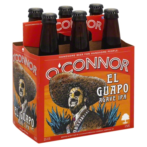
The marina has a great ship store and Deli and as I checked in with Brian at the front desk, Brittany was there to help me select a local IPA beer called “El Guapo IPA”. El Guapo is brewed locally in Norfolk, VA by O’Connor Brewery
In Spanish El Guapo is a beautiful guy, a well looking male
Then it was on to dine at the Amber Lantern Restaurant. We stepped out of the elevator and hostess Courtney warmly greeted us. We got an early start at the docks and by the time the restaurant opened at 4PM, we simply poured ourselves into seats at the bar. Bartender Sydney kept us smiling the whole night.
Sydney’s smile could warm the heart of even the crustiest sailor
Dynamic Duo: Sydney and Courtney
Being first into the restaurant, we had the chef to ourselves and the food was amazing. We had our fill and retired back to the boat only to wake up at the witching hour of 3AM and sing along with YouTube videos from artists in the “Forever 27 Club”. I recall some Janis Joplin was echoing out over the river… “Freedom’s just another word for nothing left to lose”…
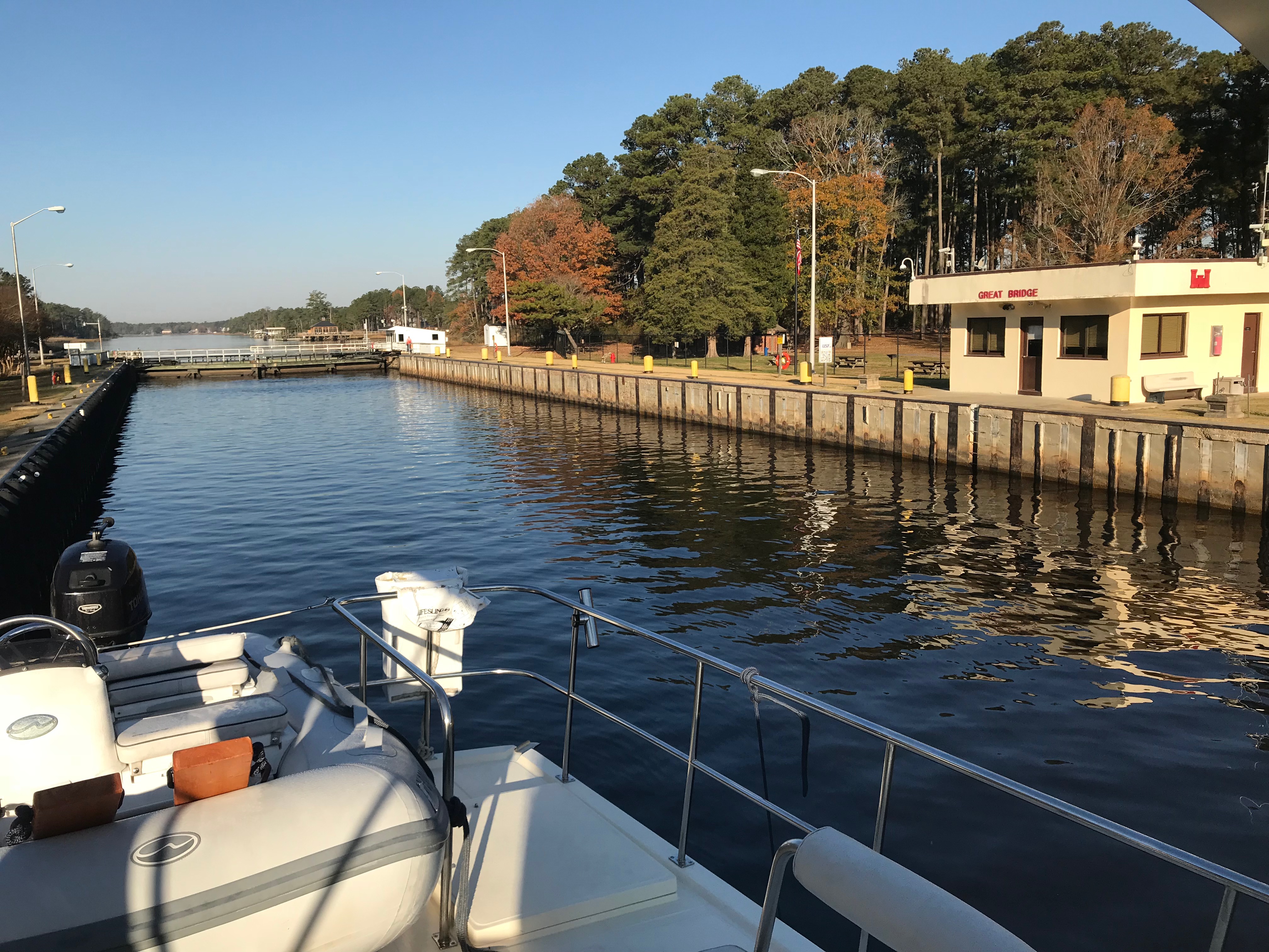
We awoke to a ghostly fog creeping down the river and we quickly shoved off to race and catch the Great Bridge Lock opening at half-past-every-hour.
ICW fog
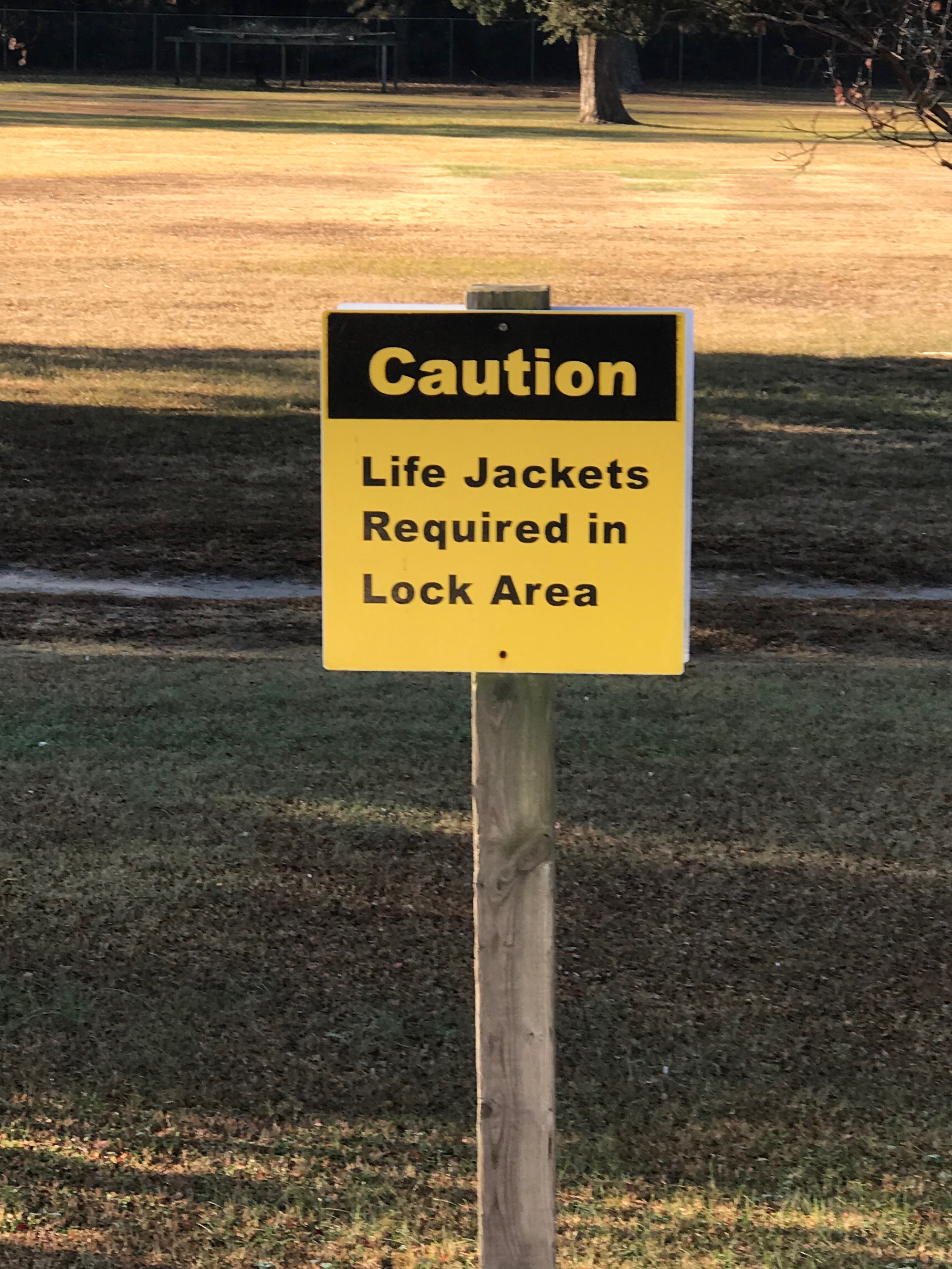
Once at the Lock we tied up to the Southern wall, waited for the lock doors to silently close and watched as it lowered us gently down to the height of the water on the Albemarle Sound side of the lock. I find it interesting that while the Elizabeth River side of the lock is tidal and varies about 2.7 feet the Albemarle Sound side varies only due to the winds that drive water up or out of the river. Equally as amazing is the age of the machinery that drives these locks. You watch as giant gates and machinery, built using simple principles of engineering mastered many years ago, silently close.
We kept the ICW-bridge-list.pdf displayed on the iPad we’d have the requisite knowledge at our fingertips. As you pilot the ICW you will want to be aware of such things as… What bridges are around the bend? Can you safely pass under their vertical height? Are they restricted in opening times? How to contact the bridge tender on to request an opening?
ICW bridge list for all 1,243-miles of ‘inland’ waterway
As you make your way down the Albemarle Chesapeake Canal you can’t help but notice it’s as straight as spaghetti. The Canal was originally conceived of in 1772 but had to wait until technology advances (circa 1856) that allowed steam-powered mechanical dredges to cut through the land. While the canal is over 70 miles long, there is only 14 miles of excavated land. There are really two different “cuts”. The 8.5 mile long Virginia Cut which connects the Elizabeth River with the North Landing River in Virginia and the North Carolina Cut which is 5 miles long and slices across the Currituck Peninsula at the village of Coinjock to enter the North River, flowing south into the Albemarle Sound.
Historic chart denoting the Virginia and NC cuts
This canal is a wonderful part of American history. During the U.S. Civil War, when the Union Army commandeered the canal, nearly 9,000 vessels made the transit. After the War, traffic continued to increase as the waterway took over practically all of the trade passing between the Albemarle Sound and Norfolk, Virginia.
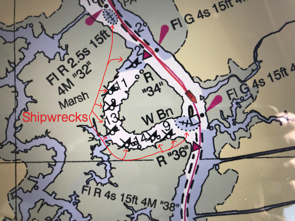
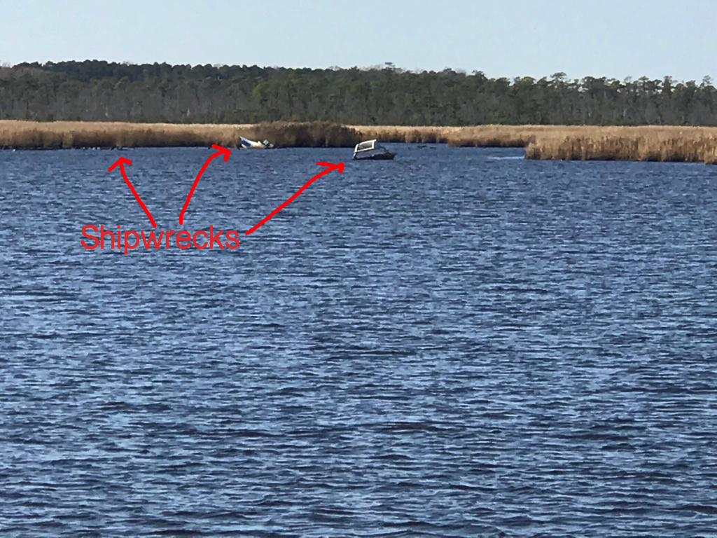
As we meander down the ICW at a leisurely pace of 6 knots (4.5 MPG) we noted the passing from Virginia into NC. Then just a short while later, we were stumped to explain why this looping side canal was littered with wrecks? How did this happen?
VA / NC State Line – ICW statute mile marker 34
How did this happen?
Gently used boat for sale
Maybe this cannon we passed was responsible for the wrecks 😉
The scenery at this point in the ICW is amazing! The waterway is lined with tall grass and you’ll watch as the local duck hunters race by you in camouflaged flat bottom boats. We’d pass the occasional duck blind hidden in the grass and Kelly & I would jabber about the moral issues of tricking ducks with decoys into becoming dinner. I’m always intrigued by the human race’s dilemma between a desire to coexist peacefully with all the other animals on planet Earth and our need for subsistence.
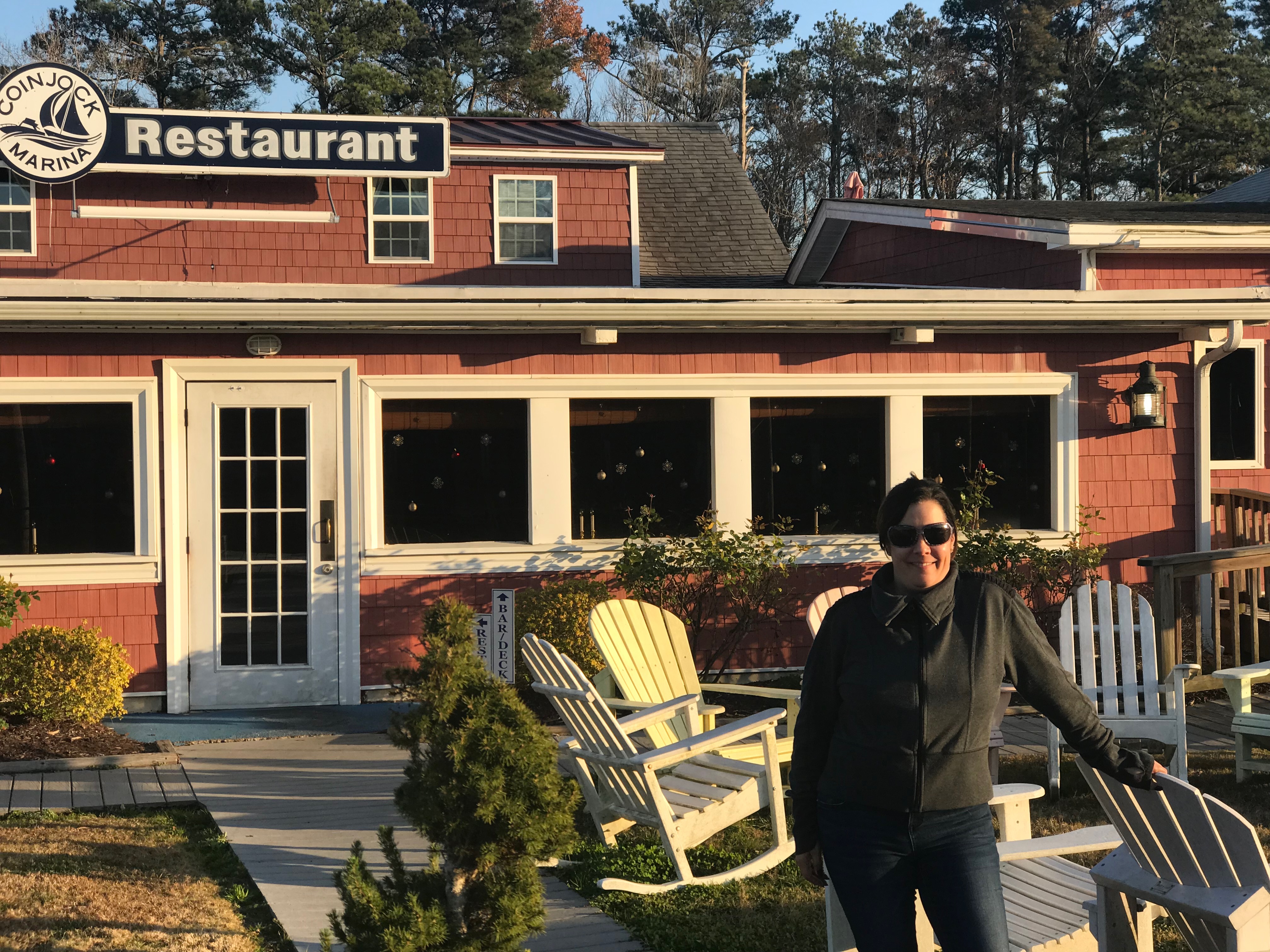
We soon arrived at Coinjock Marina where dock hand, JD quickly moored us to the wall and we scurried off to the Sand Bar for an IPA, some buffalo wings and a filet mignon for Kelly.
A typical sailor bar along the ICW
The restaurant is known for their amazing prime rib
Inside the bar we met Bartender Jason and shared stories with other cruisers going South down the ICW. The three captains of a brand new 45′ Hatteras sport fishing boat that was making its way South sat next to us. They showed us video of their 30 knot trip South and we joked about their 80+ g/hr burn rate vs. our 1.2 g/hr rate. “Time is money” said one of the captains as they hurried out of the bar joking that they would not wake us at sunrise as their sprint South continued. Well it’s 6:30AM and we just watched them depart silently. I’m sure today will be another fun time here in Coinjock, NC.


You must be logged in to post a comment.