
Well exited the Manasquan River right at slack tide which is good for reducing the currents when trying to squeeze through the narrow railroad bridge as well as the rip at the mouth of the inlet.


As we headed out the Manasquan River we looked back and saw Point Pleasant canal which is mile 0 or the start of the NJ ICW (InterCoastal Waterway).The NJ ICW ends in the Cape May entrance channel.
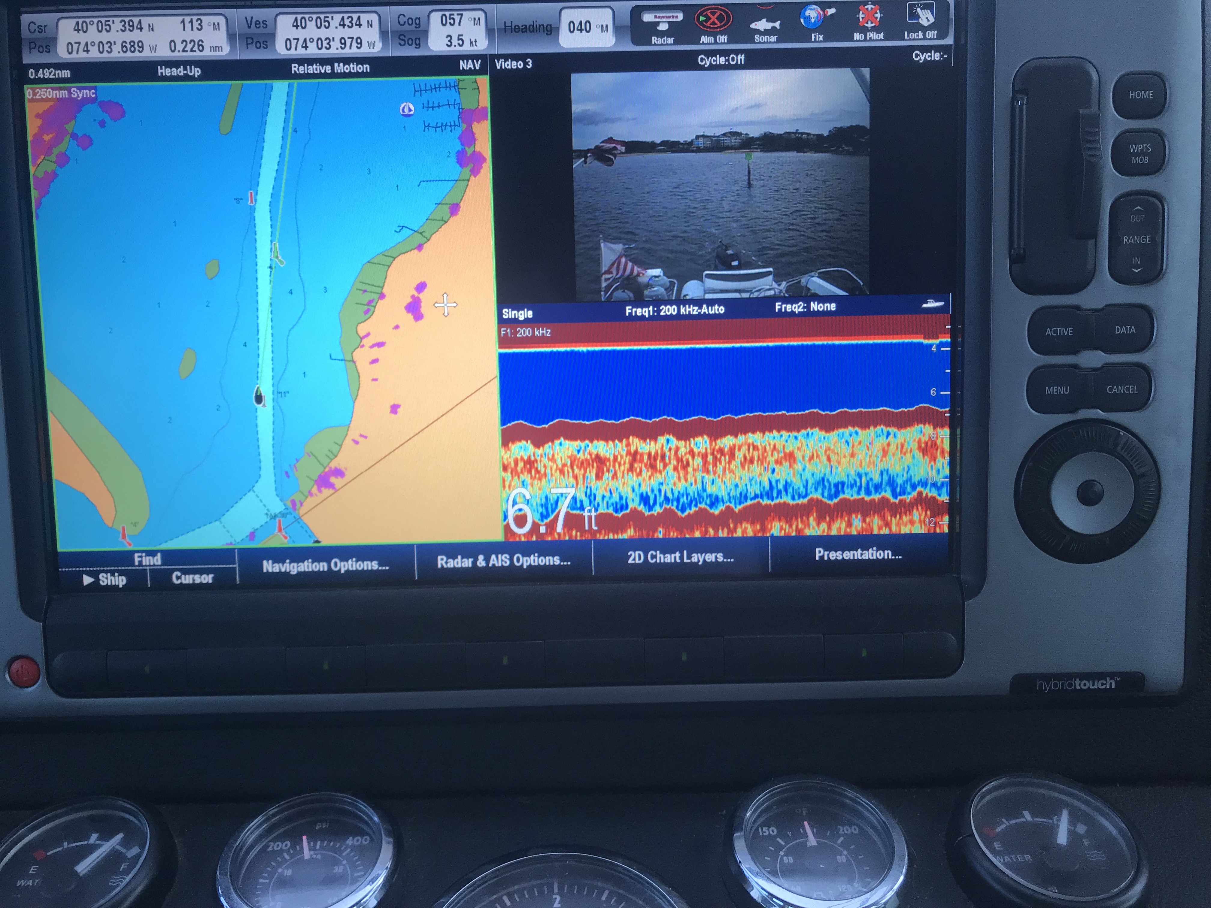
As you work your way out of the Manasquan River be careful. My charts don’t line up perfectly with the channel’s actual location so follow the daymarks and temporary buoys and cans that are in place.
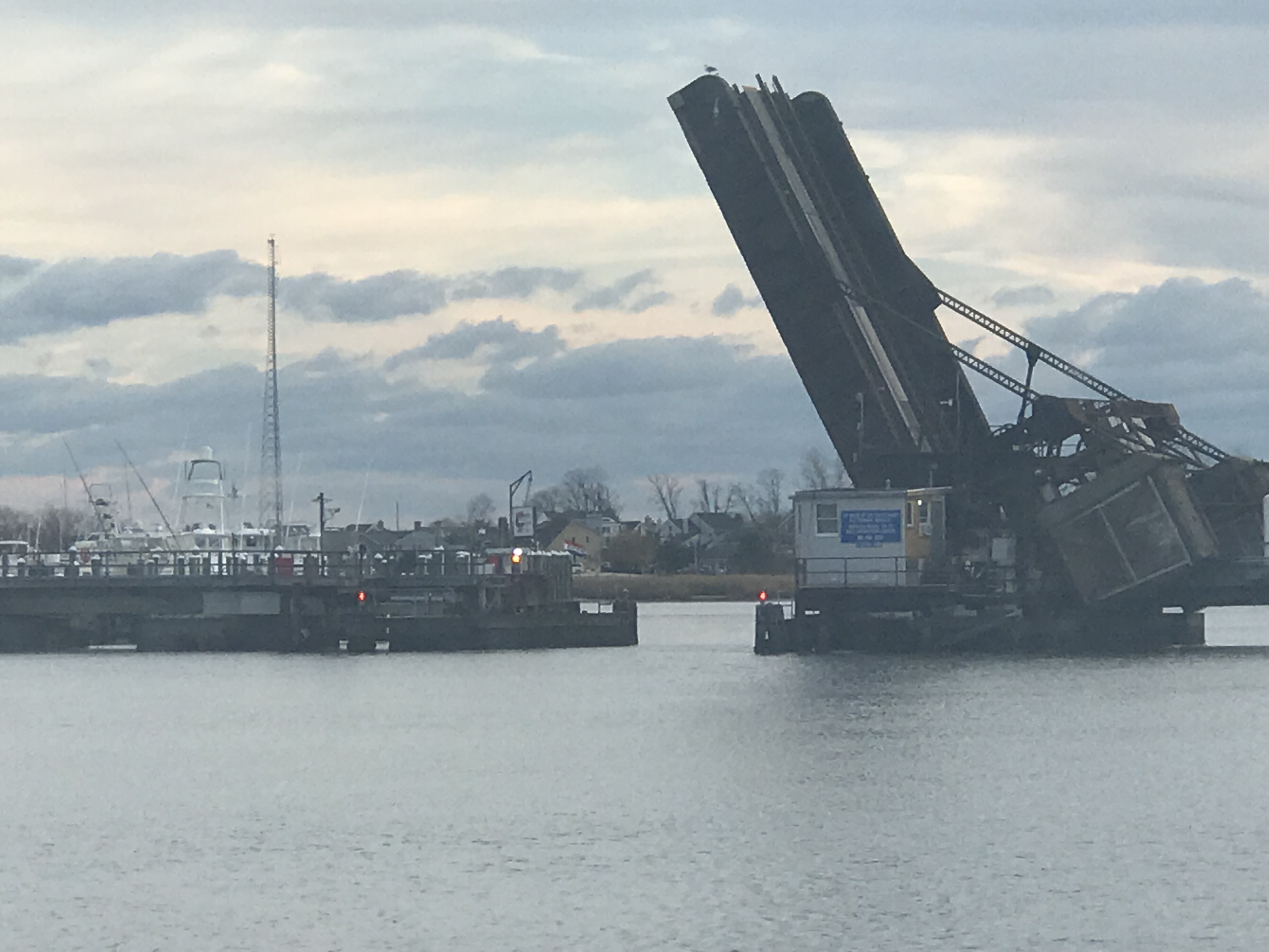
There are two bridges on Rte. 35 and the other is an automated railway bridge.

The Rte 35 bridge gets shallow just as you are about to pass under it. So when your low water alarm goes off don’t break your focus and stay straight going through.

Soon we were at the inlet to the Manasquan River and we exited into the Atlantic.
There were not many boats out on the NJ coast. It is mid-November after all.
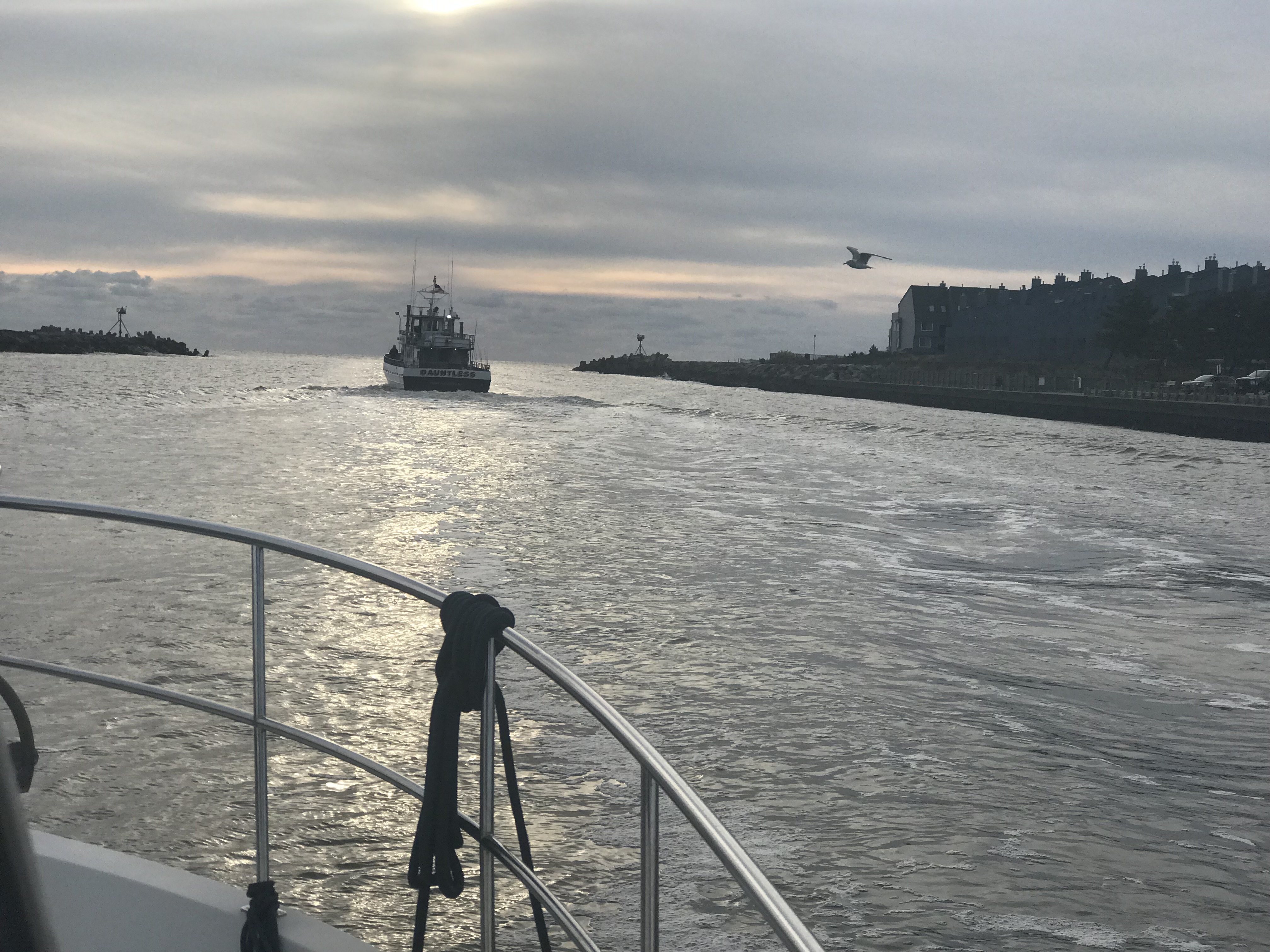
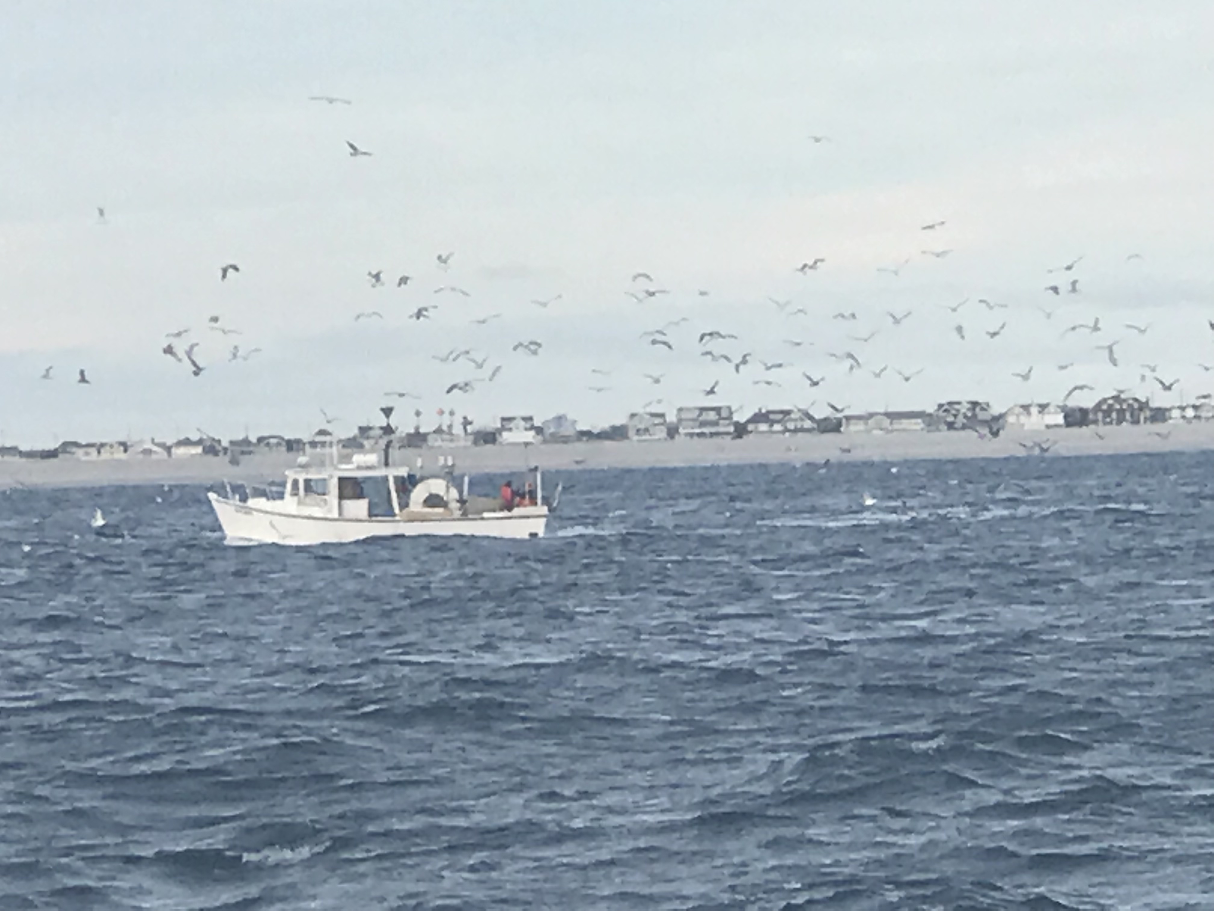
However this FV (Fishing Vessel) Webo looked like a scene from Alfred Hitchcock’s “The Birds”. Soon I found him piloting real close up the back MV Simple Life and I swear he did it to infect us with his flock of sea birds. As he pulled away the flock split and half seemed to follow us. Kelly’s not a real fan of birds something about getting caught in her hair or something … so I just did not let her know that the birds were surrounding us.
Bird Boat 
FV Webo is not 70′ long! 
FV Wevo on our backup cam 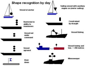
Note the double black cones day shape to designate a vessel engaged in fishing
I could not help but notice that FV Wevo was using dayshapes to let other boaters know he was engaged in fishing. Two black cones, point to point in a vertical lines designates this.
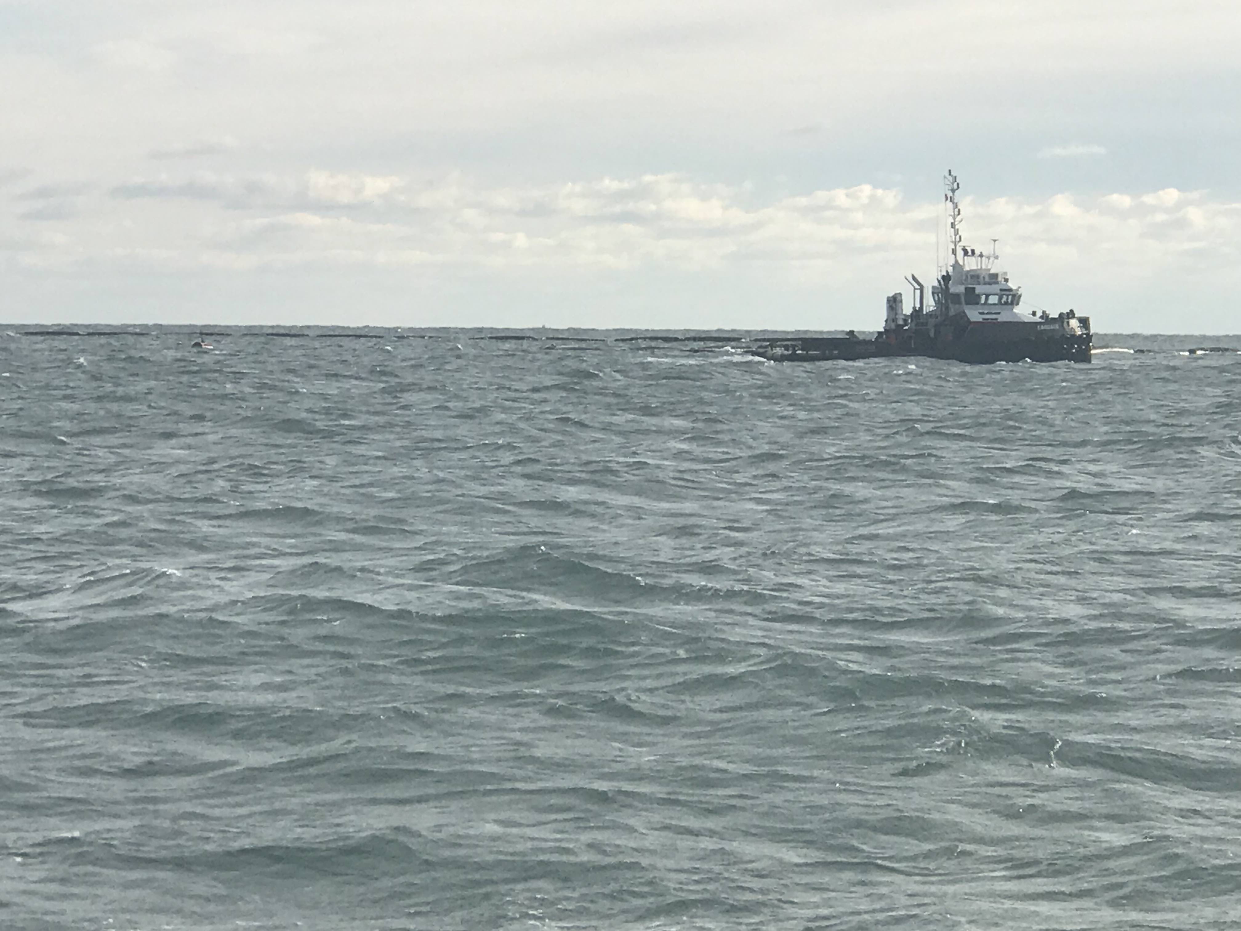
We also passed a fish farm or tug towing a fish pen. You need to be careful of running into these at night.
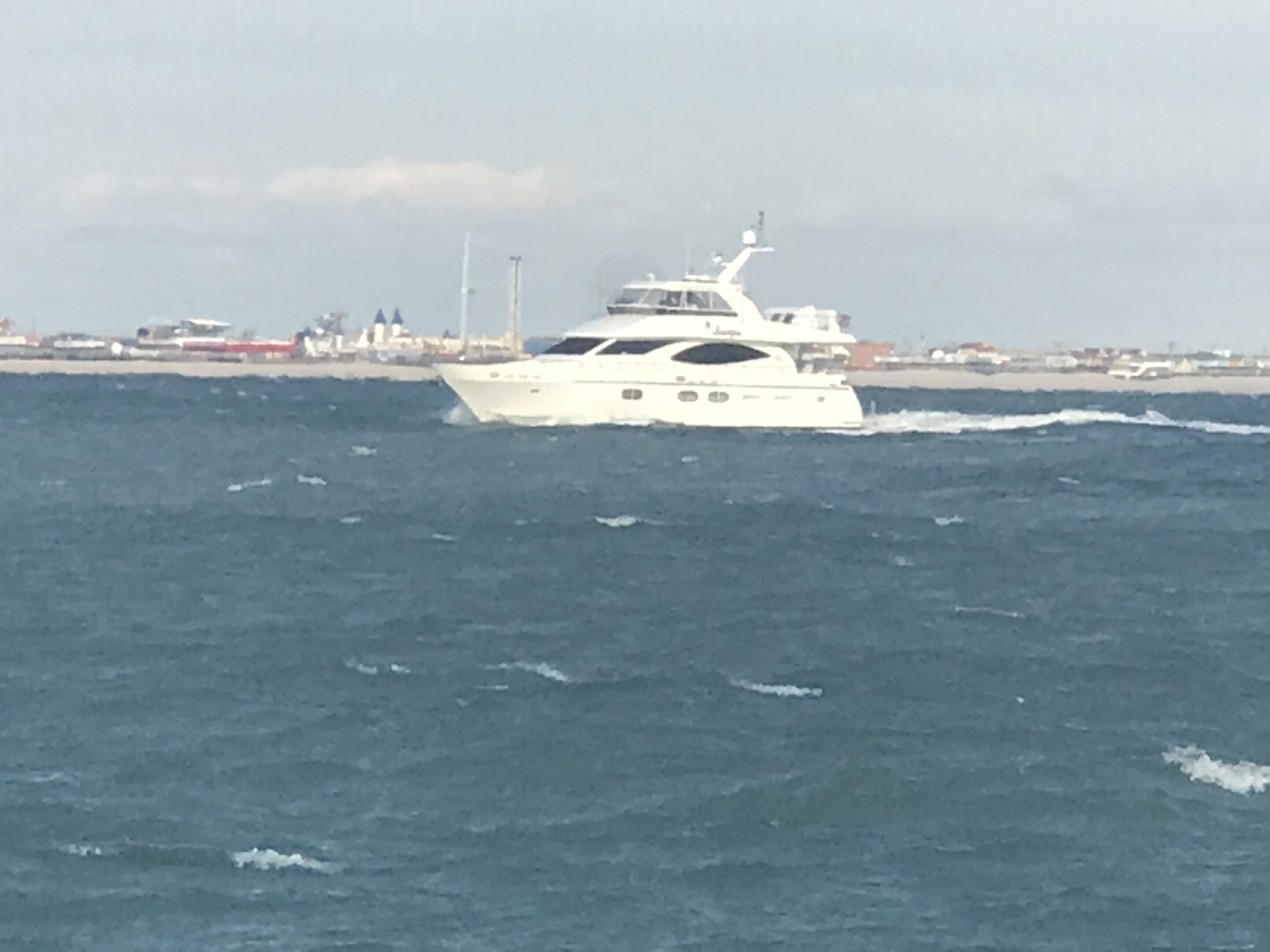
We did see one other snowbird racing south. MV Scorpio passed us doing about 11 kts compared to our 8 kts.

AIS – Automatic Identification System info on MV Scorpio
This drum hazard snuck up on us and we had to adjust course to avoid hitting it. I don’t believe it was lit so keep a good helm watch at night.

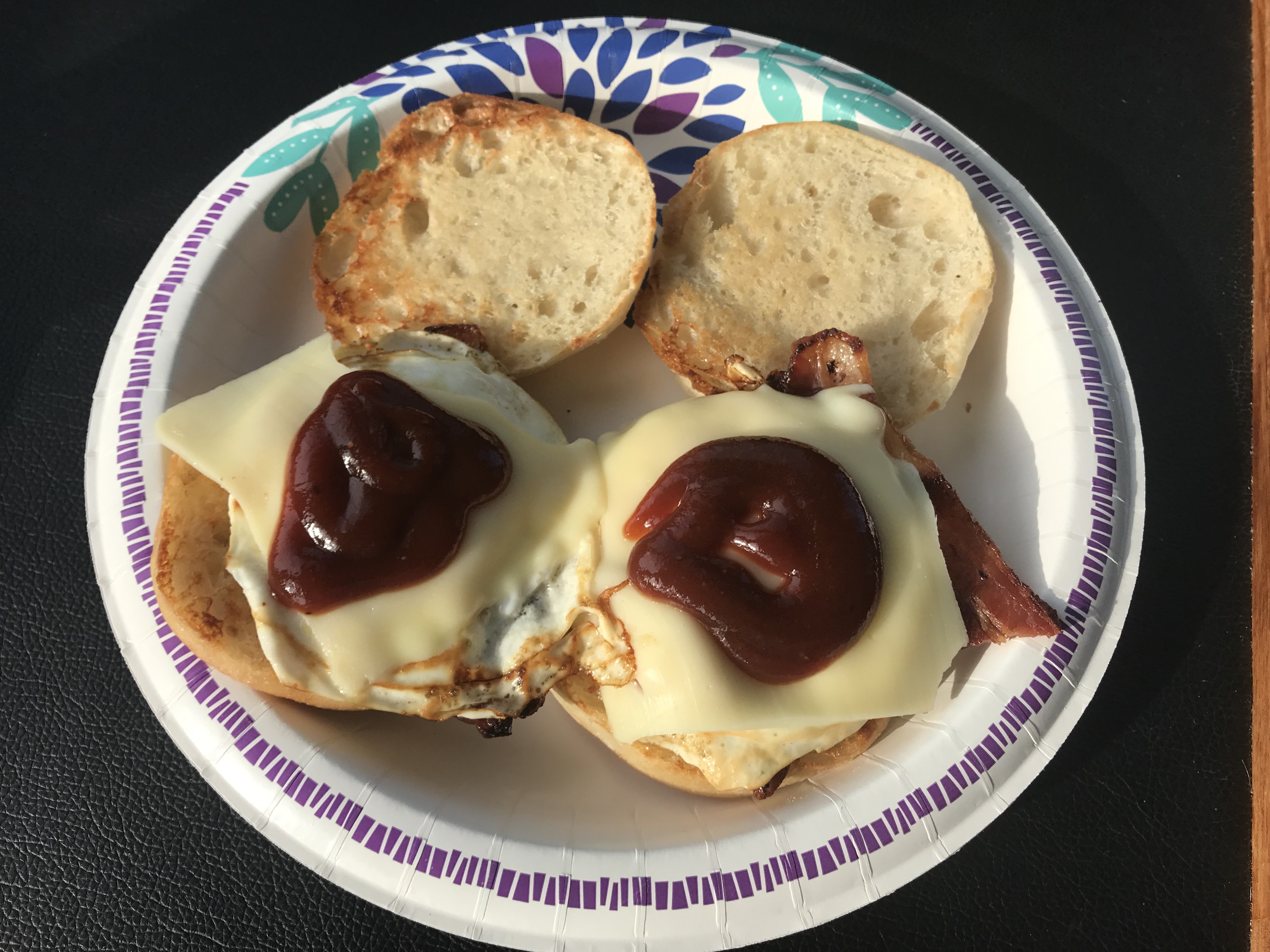
Kelly is great about cooking while underway and delivered two hot bacon, egg & cheese muffin sandwiches to the helm.
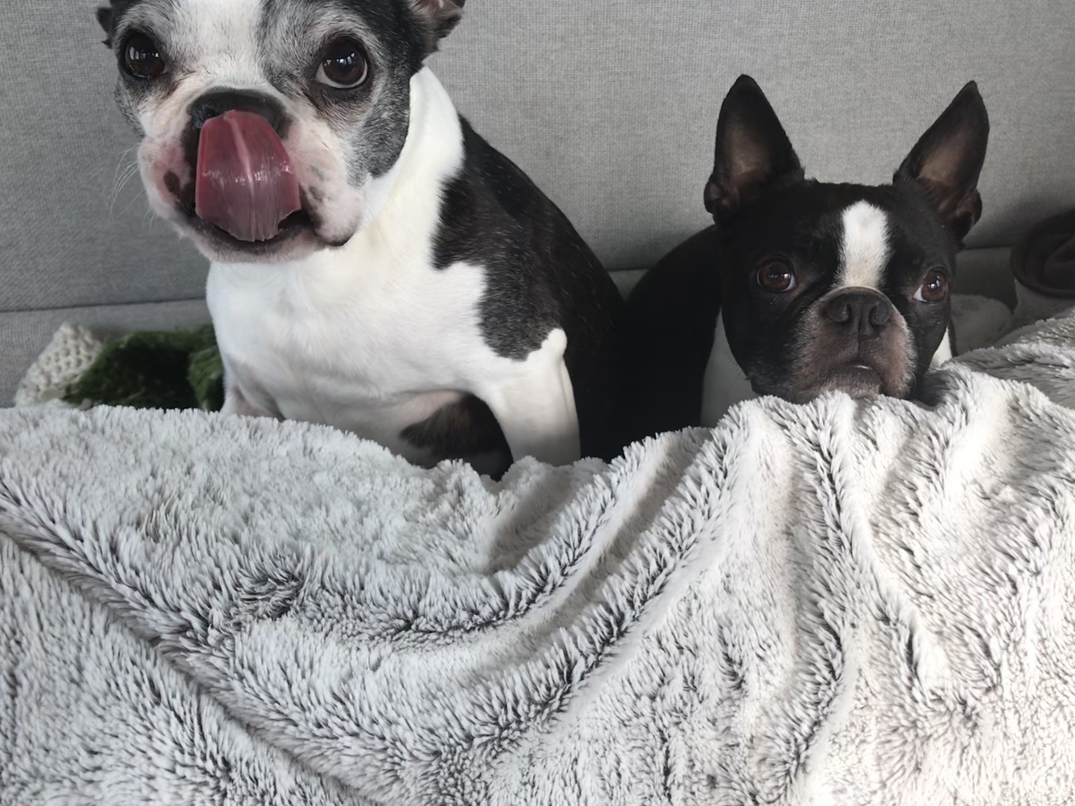
Even the dogs were licking their chops
We passed Atlantic City on our way to Delaware Bay.

Soon the sun went down and the overcast sky made for a dark night on the water.
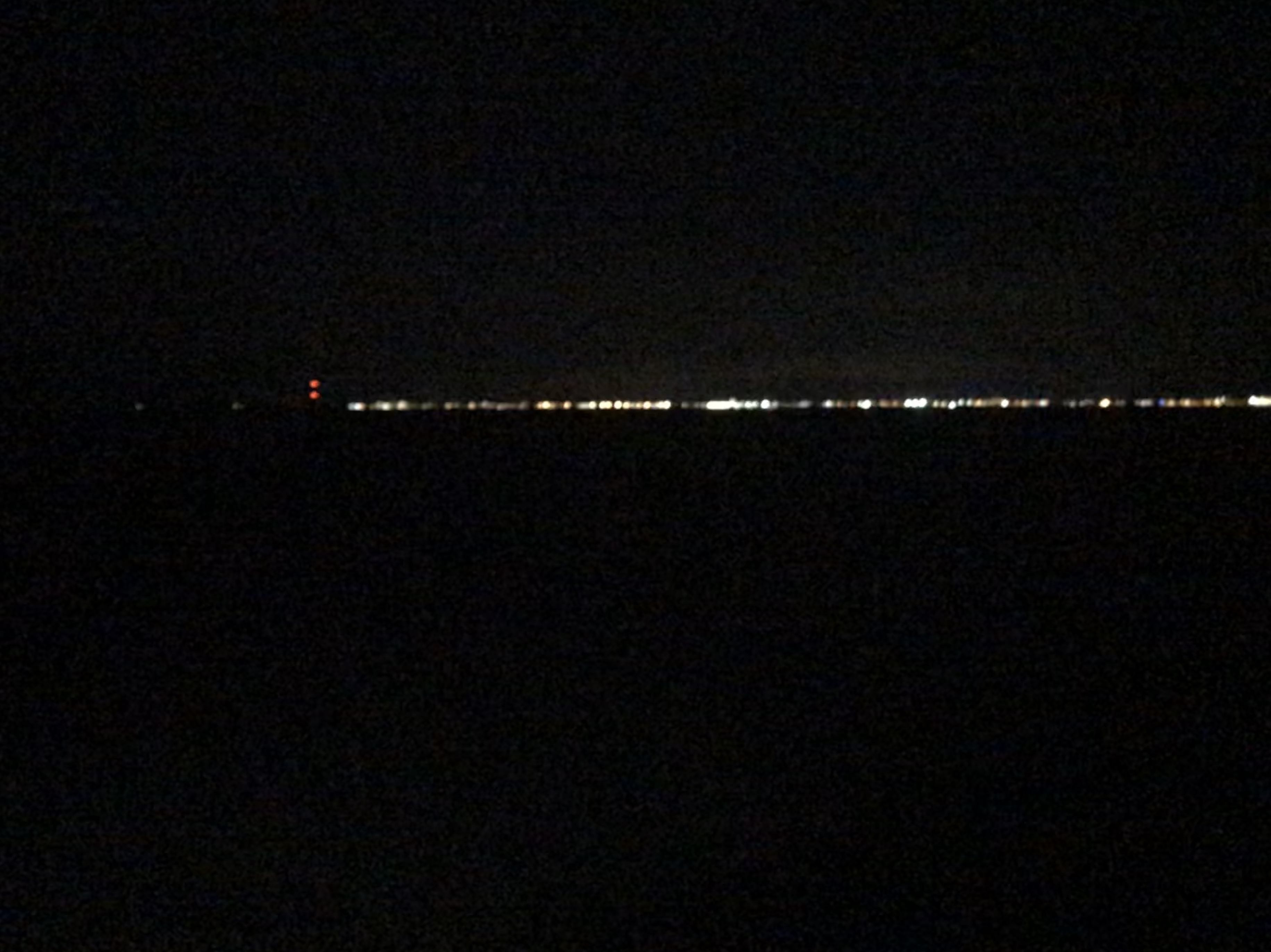
We could start to see Cape May on the horizon.
When you work your way into the Cape May inlet they provide a nice red range light that you can use to keep your boat positioned in the center of the channel.
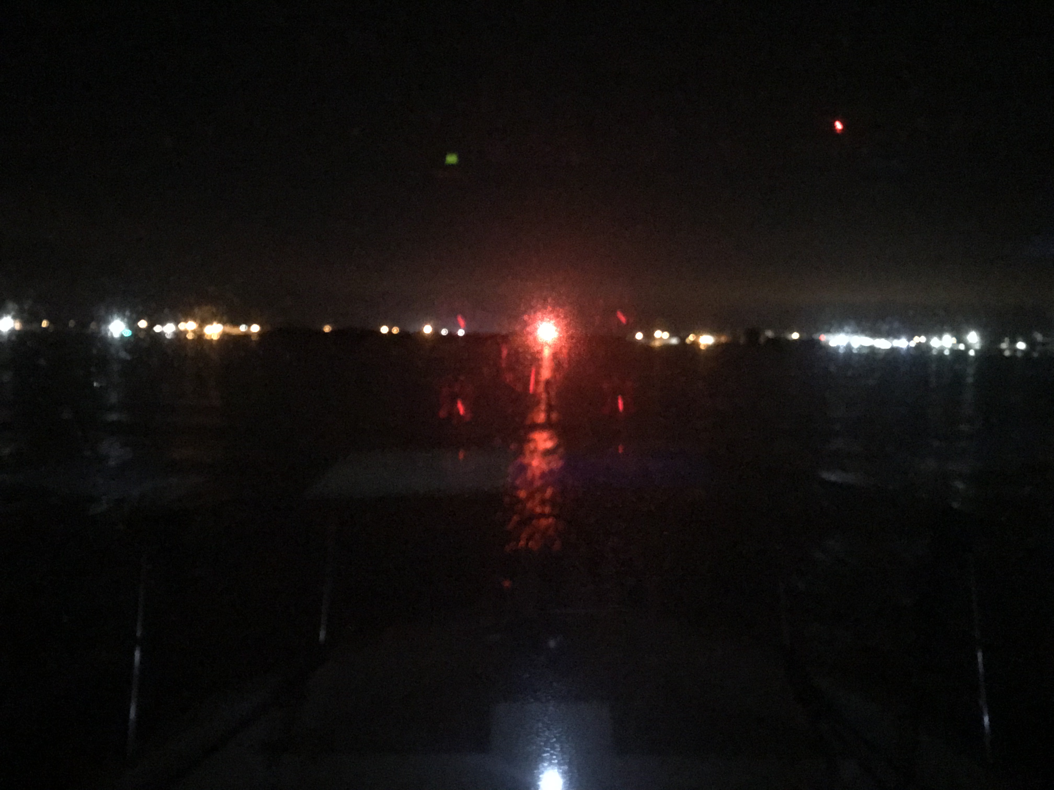
You can see the split in the entrance channel and the range marker right at the split.

Once in Cape May Harbor we worked our way straight through and out the Cape May canal to Delaware Bay. We anchored for the night just South of the Cape May Canal jetty. A bit of a lumpy anchorage in this wind and chop but we’ll be gone at sunrise as the stormy weather is nipping at our heals.


You must be logged in to post a comment.