St James NC & Friends

We had spent the night on anchor in Mile Hammock Bay. The shore around this bay is on the property of Camp Lejeune. Marine Corps Base Camp Lejeune is a 246-square-mile United States military training facility in Jacksonville, North Carolina. The base’s 14 miles of beaches make it a major area for amphibious assault training, and its location between two deep-water ports allows for fast deployments.

Mile Hammock Bay, Camp Lejeune

I woke up in the middle of the night and it was cold.

Cold Camp Lejeune

I spent some time in awe of the stars that felt so close you could touch them. I’d have taken a picture of them but it just doesn’t work when you’re aboard a rocking boat.  It reminds me that we are all spinning around on a rock in space surrounded by an endless cosmos. I like feeling small and insignificant in the cosmos. It means my life is more intimate. I chose to spend it with the folks around me and that is what gives it meaning. 

It was still dark at 6:30AM as I was pulling out of the bay and onto the ICW. Disappointed that I could not share a picture of how amazing it was to lay under the stars I thought I’d leave the helm and walk to the stern to snap a picture of the proto-sunrise that was taking shape behind us.

Proto-Sunrise

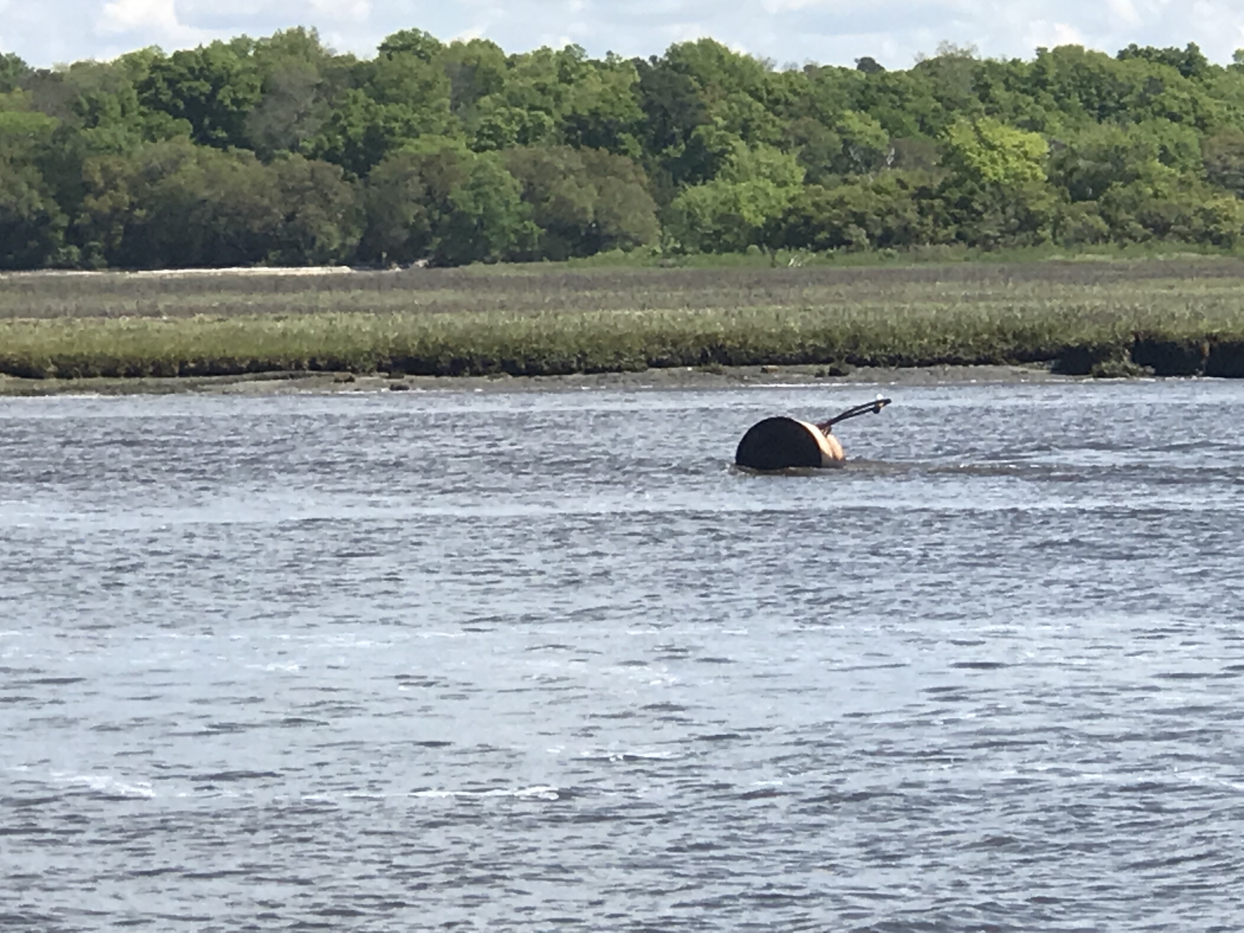
Whenever I leave the helm on the ICW you must be quick. There are many times you find yourself looking down at an iPhone or iPad to measure the distance to the next bridge or calculate your arrival at your planned anchor location. Take your eye off the helm for more than 10 seconds and you may find that you’ve run over a crap pot, hit a shoal or just ran into the bank of the ICW.  This fellow ICW boater ran aground when his teenage daughter spaced out while at the helm. The boat and crew were fine and while it can be embarrassing it’s something that can happen to anyone when you’re pulling 10-12 hour days staring at the helm and things passing you by. 

whoops

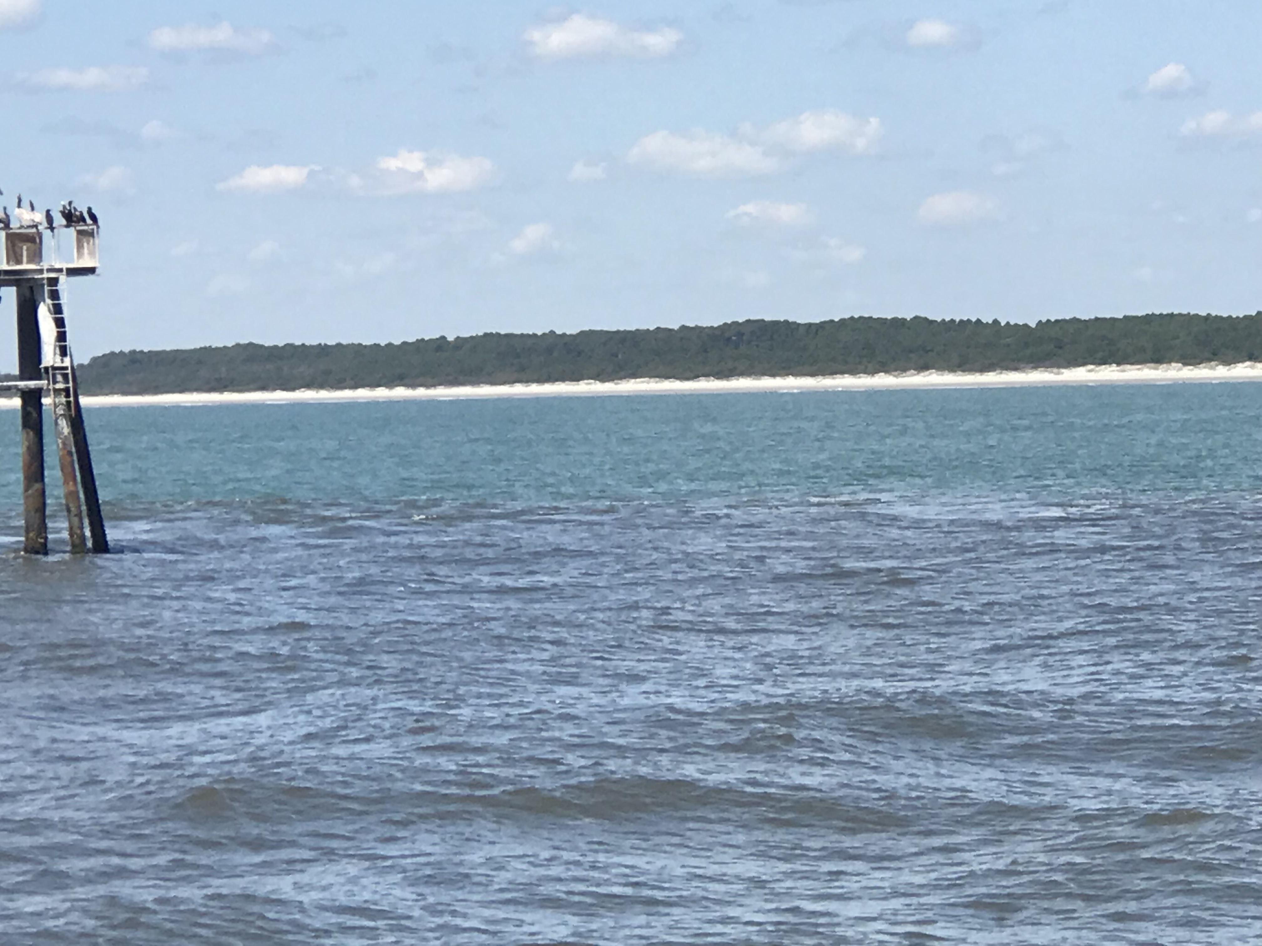
Soon we were passing Carolina beach and the grasslands are beautiful. 

Carolina Beach NC

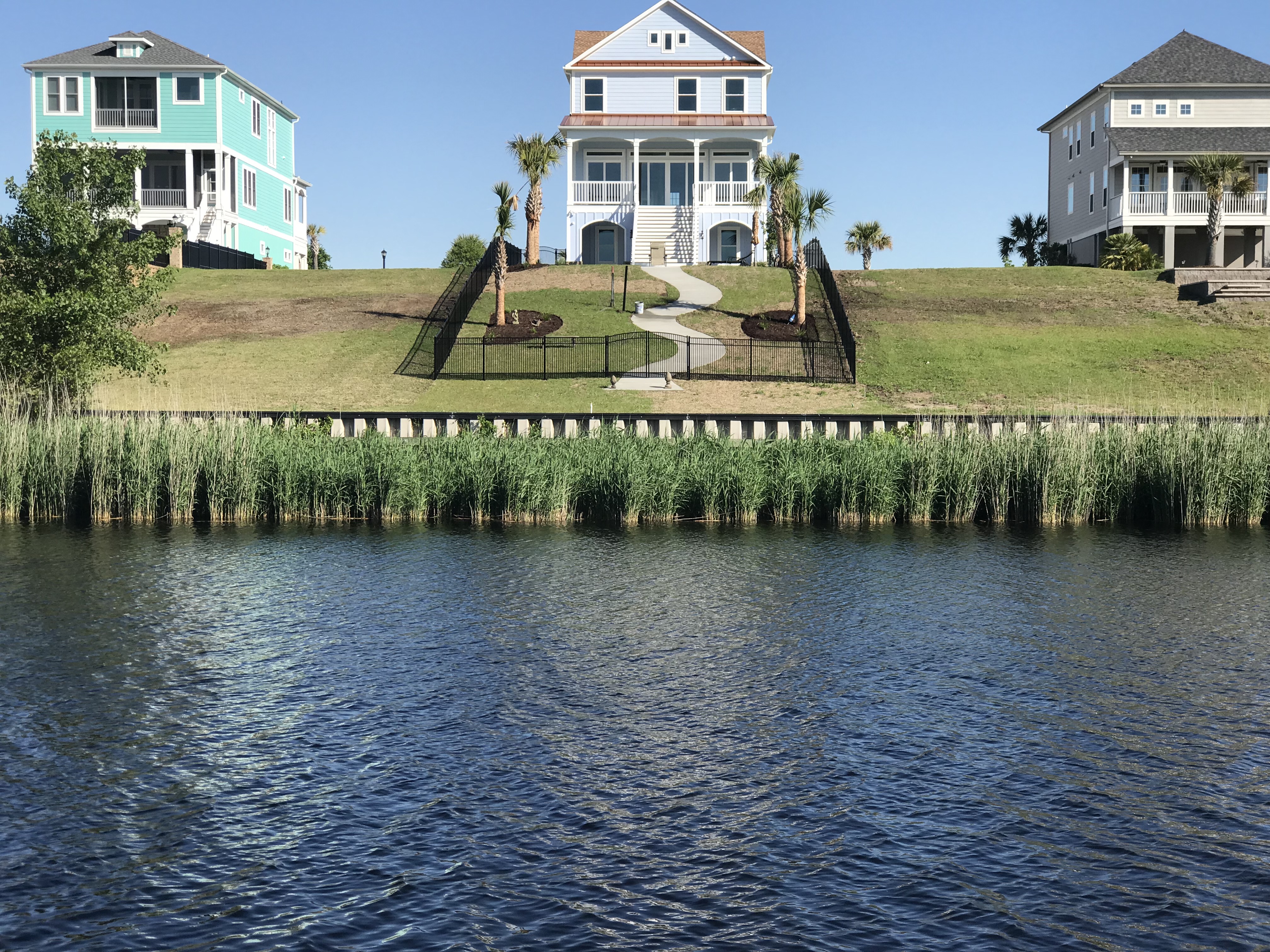
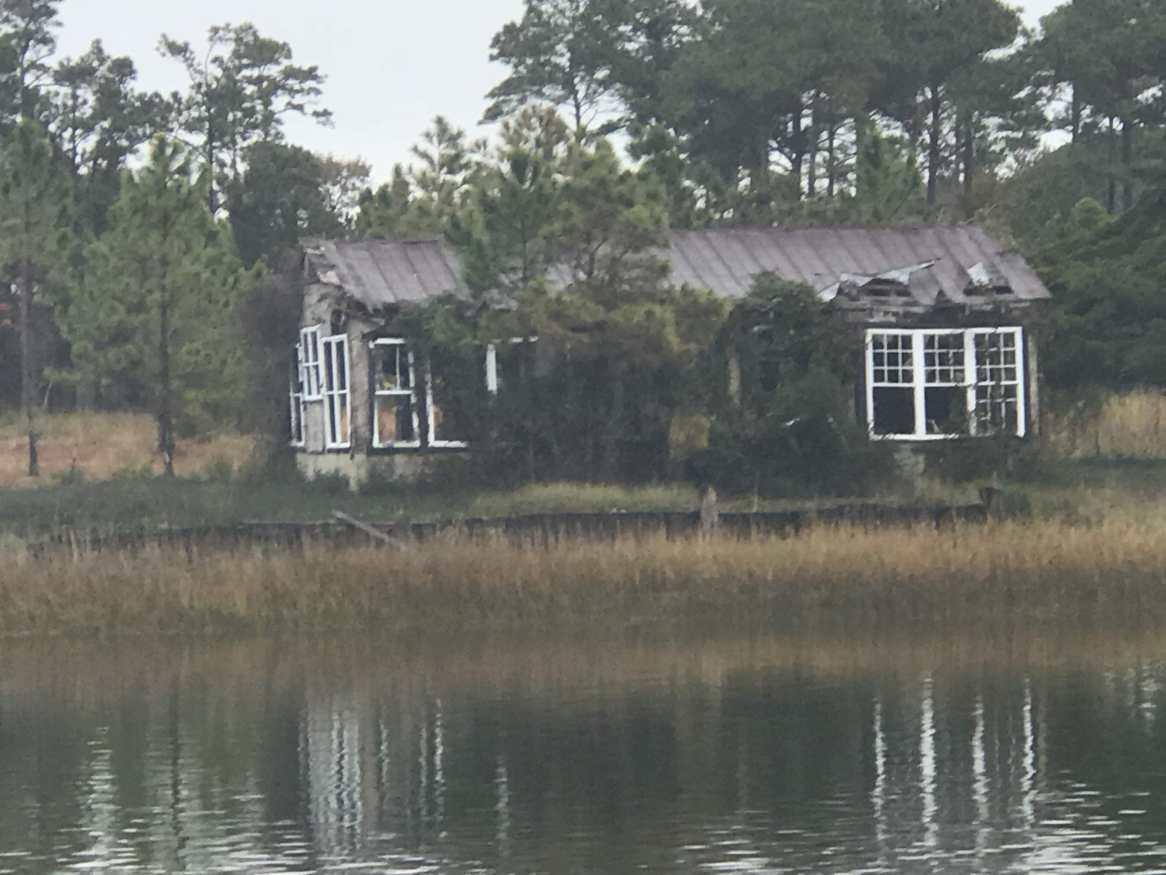
We passed a pink house on it’s own rock island with a dock leading out to it. 

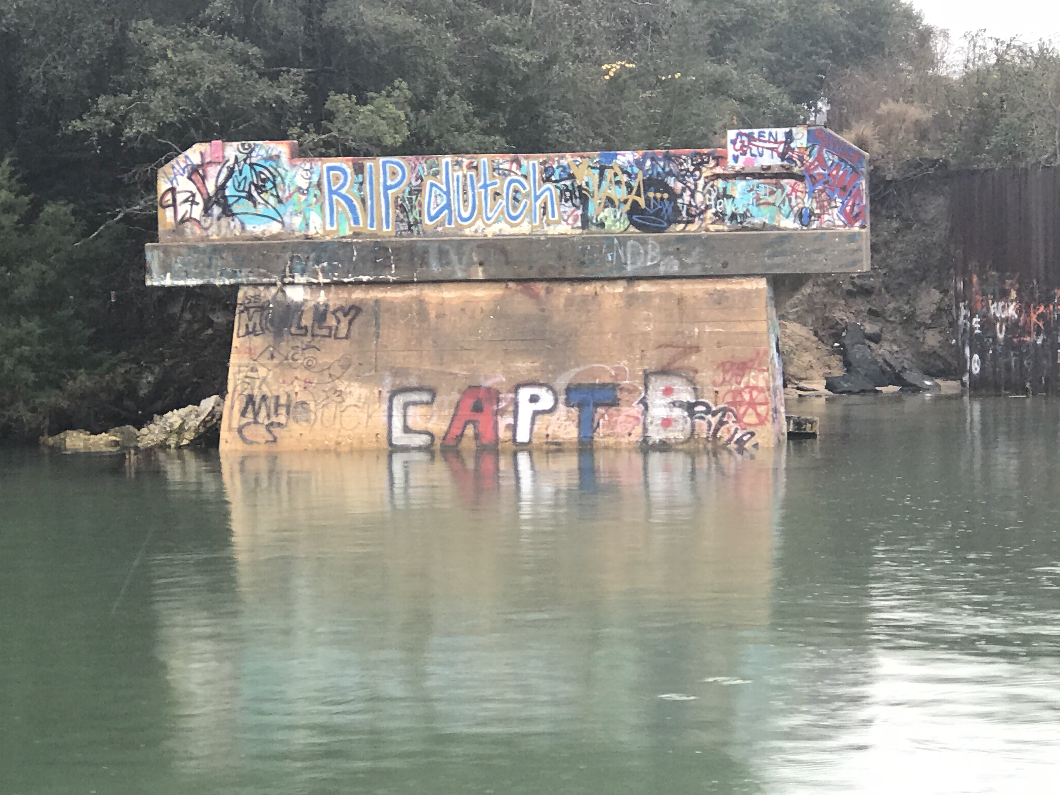
As we made our way South we came to Snow’s Cut. A ‘cut’ is a canal that has literally been ‘cut’ through land to form a canal for boats to travel from one river to another. It appears as if this abandon bridge is a popular place for teen parties.

Capt

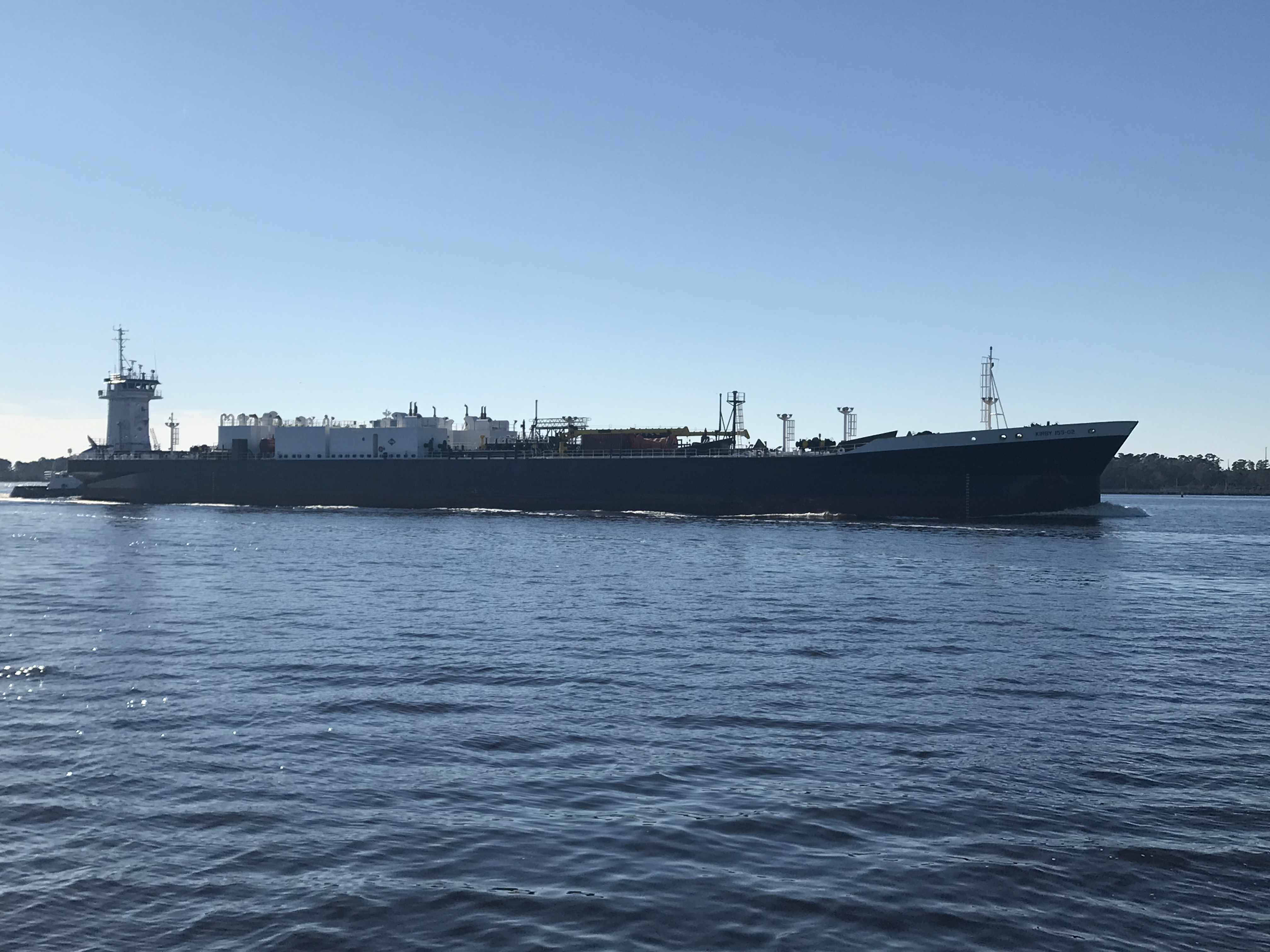
Next it was into the Cape Fear River. This river is deep and has a strong current. You must stay clear of the larger traffic in the channel like this tug pushing an LNG tanker.

Tug & LNG Tanker

To get to the marina we were going to spend two nights at we had to turn to starboard at the Frying Pan Restaurant. I recall seeing photos of this restaurant during Hurricane Florence. The restaurant was flooded. I can’t tell for sure but they look to be up and running as we passed?

Frying Pan Restaurant

If you are familiar with Cape Fear you’d know that this restaurant is named after the famous Frying Pan Shoals that extend out some 15 miles off the coast of NC. 

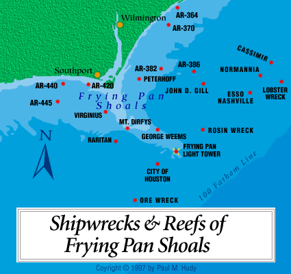
There is an abandoned tower that marks Frying Pan Shoals and guy bought it at auction and is now making a bed & breakfast out fo the tower that lies some 39 miles off the coast of Cape Fear. How cool would it be to stay for a night? Here is a video of someone dropping a camera off the tower and down into the water. By the way to get into the tower you must be hoisted up on a cable.

Frying Pan Tower B&B

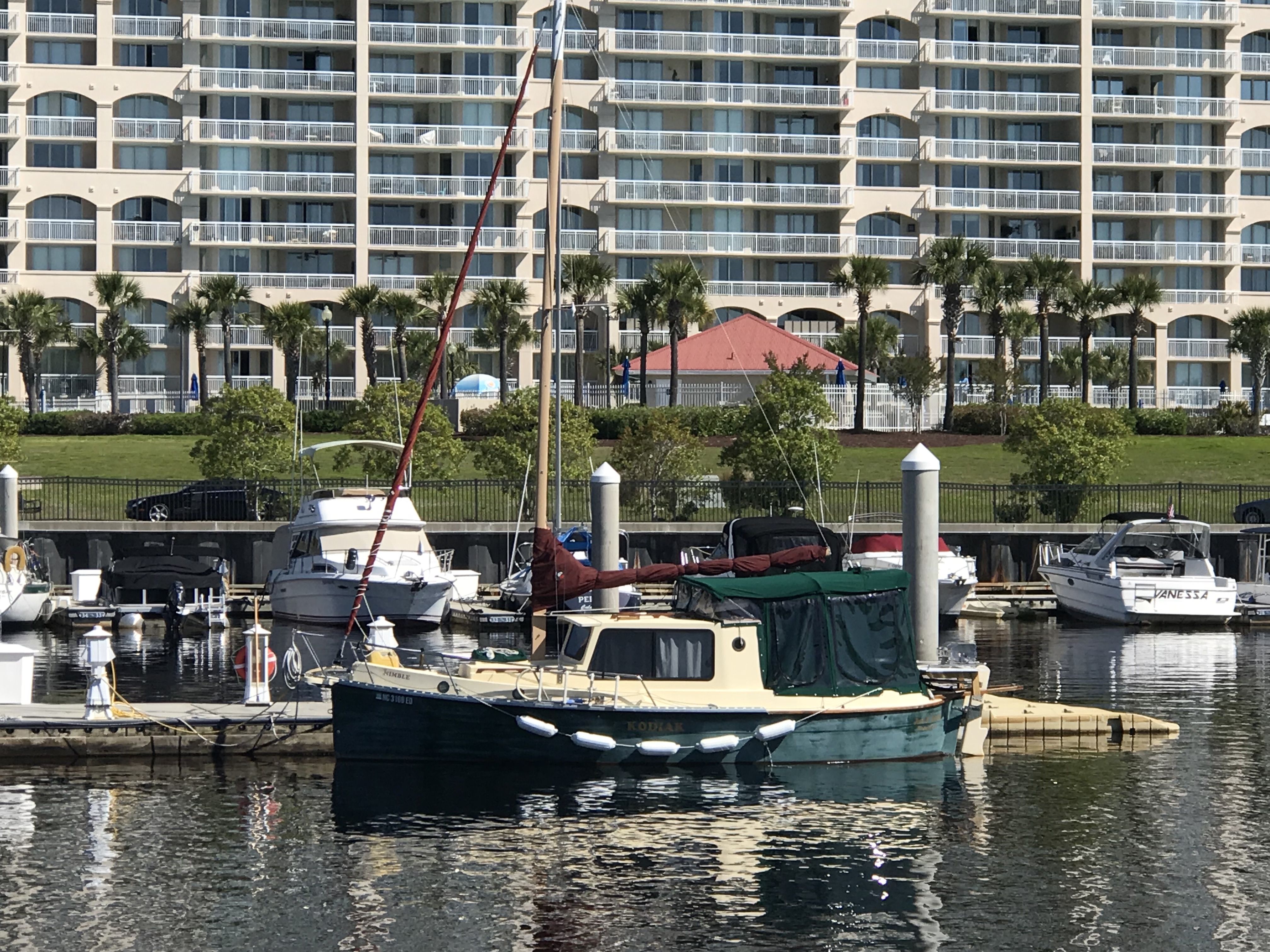
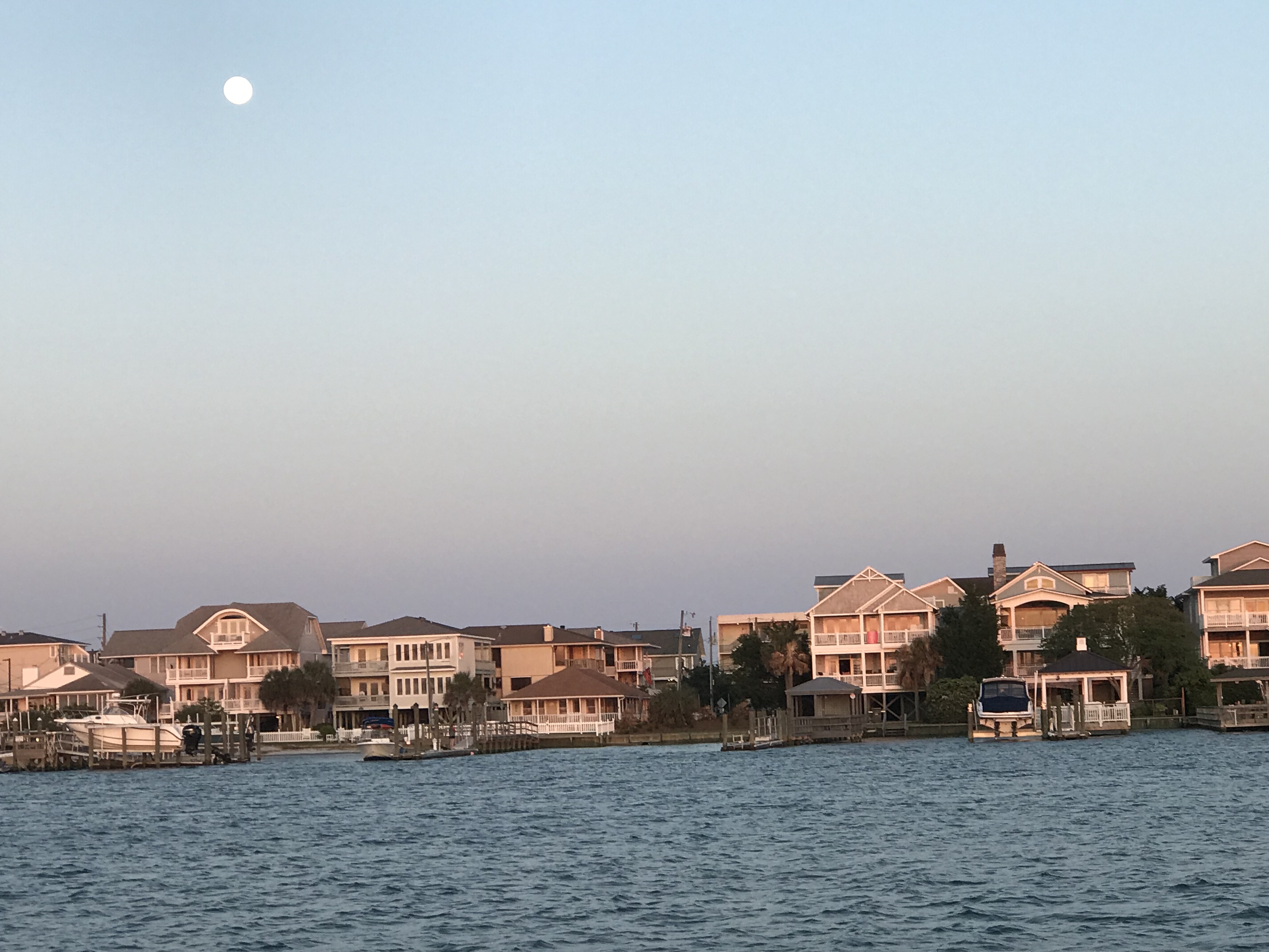
We arrived at St. James Marina and were excited to spend some time with friends. Jim was just getting back from a fishing trip out to the gulf stream some 50 miles of the coast of Cape Fear. The weather was rough so I think it was a wet salty ride back in this fast open fishing boat. 

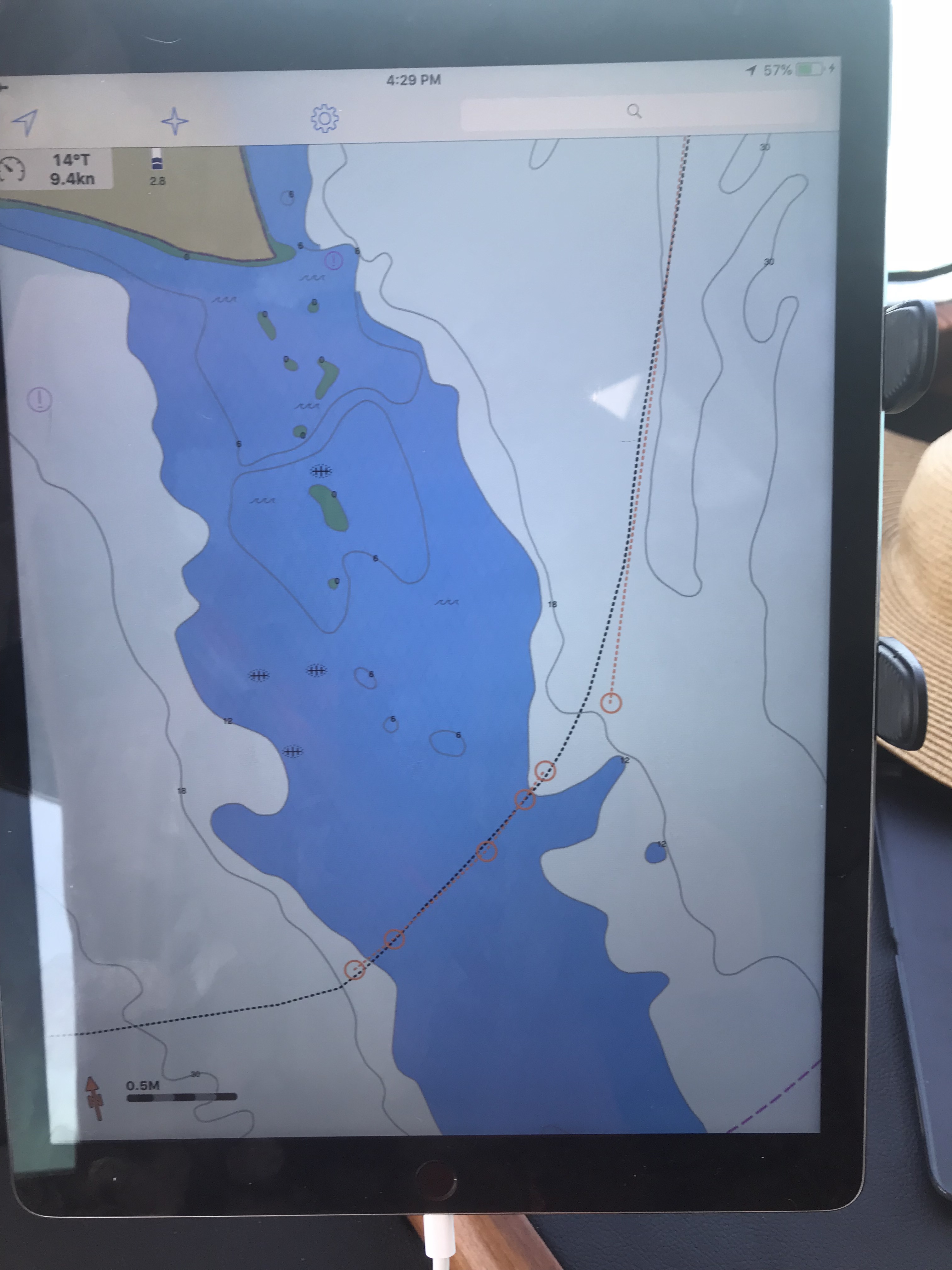
The Marina is a beautiful place to spend time and it was worth the trip. Our trip looked something like this. 

Wrightsville Beach NC

We got underway early, leaving the Waccamah River behind us.  Alongside the ICW we found houses like this one. This home just stood out against the others. Why? Crazy downhill fence, twisty walkway? Sawgrass? 2nd level stairway? The palm trees? Or does it all work together?

Home
Breathtaking, like that Seinfeld episode with the ugly baby

Then I passed this 27′ trailerable Nimble Kodiak motorsailer. Interesting little boat. Here is a link to a random 2002 Nimble Kodiak for sale on Yachtworld.com

Kodiak
27′ Nimble Kodiak trailerable motorsailer

We passed the “Sombrero thing” that I could not quite figure out what this place was on our way down the ICW. Now we are heading back and I still have not looked it up.

Sombrero
Sombrero thing and Yes there are propeller eating rocks on the ICW

We passed the Myrtlewood golf course right on the ICW. I’m thinking how many boats get hit with golf balls?

We also passed a home or restaurant that had all these HUGE ocean buoys all around their lot. I love red buoys and green cans but I’m not sure I’d want them as yard ornaments?

Then we came to “Little River Inlet”. You can’t miss it because it has this commercial fishing boat marking the entrance off the ICW.

Little River Fishing Aground
I guess even the pros can have an oops moment?

Kelly & I recall this inlet as one that we ducked into on our old sailboat, Skull & Swords. We were getting beaten up in a storm off Cape Fear and the moment we tucked into Little River Inlet it provided us with a place to anchor for the night.

The ebbing current was running strong as we never hit 11 kts.

SOG 11
11 kts SOG – Speed Over Ground (GPS calculated)

As you twist your way out to sea be careful of the floating steel drums that are just outside the channel.

Little River Drum
Would not want to hit that at night

Little River Inlet twists a sinuous path to the ocean.

Little River sinuous
Snaking it’s way to the ocean

The strong outflow created a distinct boundry between the brown, full of sediment water rushing out and the green water off the coast of NC.

Little River Sediment
Sediment laden waters flowing into the green sea

Friends of ours,  Jimmy and Wende had just taken their fishing boat out of Lockwood Folly Inlet and were chatting with us on the VHF. I had to raise my 45 degree lowered antennas to the upright position to get better reception. On the ICW you must lower your antennas to fit under low bridges. The reduced reception does not matter as you are really just communicating with a passing boat or a marina that you are next to. They were quick to end the call reminding me to put my antennas back up, which I just did after writing that 😉

The inlet they came out of might scare anyone who looks at it on the charts. When you see a bunch of shipwrecks dotting the inlet it might be telling you something about the inlet.

Lockwood Folly Inlet
That’s a lot of boat bones

We had planned to go offshore at Little River Inlet and run the 25 or so NM to Cape Fear. However once we were outside we were enjoying making over 9 kts.

SOG 9.2 Off Shore
Making good time

We decided to see if we could find a way through Frying Pan Shoals rather than around them. I spent some time plotting a course that in the end had us seeing 8.7′ at the lowest. Normally we would simply plot a course around Frying Pan Shoals but the added distance could mean a nighttime arrival. A check of the tides showed that we were not going to get much of a lift from the tide.

cape Fear Tide station
Barely 2 hours after a negative low. won’t add much water to the chart soundings

The swell presented a bit of a challenge as well. Ocean swell can push a boat closer to the sea bottom when you slide into the trough of a swell. The swell also can cause “breakers” (think breaking wave tops) where the shoals are shallow. Today however, as we cautiously motored over the shoals our path was uneventful. If you want to cross the shoal there is a path that lies about 3 nautical miles off the point of Bald Head Island. Just take your draft and everything else into consideration before you attempt.

cape Fear 3
Our Actual Path over Frying Pan Shoals – 3 miles out

Once we rounded Cape Fear we were making good progress toward Masonboro Inlet and Wrightsville Beach. You can see on our iPad navigation app the boat icon that is us, a black dotted track line that is where we were as well as the magenta 3 mile offshore dashed line.

Cape Fear
Us rounding Cape Fear

Once inside the inlet we quickly anchored up and watched the sun go down

While the sun was setting the full moon was already up.

Moon

OK, it’s not technically a full moon but 98.8% is close enough. Tomorrow we’ll have a full moon.

St. James Plantation with Friends

We are leaving St. James Plantation Marina in Southport, NC this morning but made a promise to come back and spend more time with our friends Jim & Wende. They were very gracious hosts while we were here and we got to share in the experience of being in a “private town”. So very interesting though I must say Kelly & I will have to investigate exactly what that means?

Wende Kelly Jim Marty

Thanks Jim & Wende, you showed us a great night off the boat and we promise to come back and spend more time.

The night before we had anchored in Sloop Point, NC and the trip down to Southport was an interesting one. We saw heavy equipment dredging around what looked like a new pier going in. I know what salt water does to steel and I still shudder at the thought of dipping an excavator’s arm into salty water. I’m sure the water in the ICW is brackish but still.

Dredging Excavators

I was checking my ICW bridge list and realized that I would not make the Figure Eight Swing Bridge in time for their restricted opening time. This meant that I would be waiting for the next opening. However the bridge tender who I had hailed on the VHF asked me about my air-draft. Your “draft” is your vessels depth in the water and your “air-draft” is your vessel’s height above the water. I replied that I believed it was somewhere between 21-22 feet. The bridge tender remarked that he currently had 22′ of clearance. Every bridge along the ICW has a “height board” that is partially submerged under the water with height markers at the waterline. While all bridges on your nautical charts will list their height at an average high tide, the actual vertical clearance varies with the height of the water. The bridge tender offered to come out of his office and stand under the bridge to check my clearance if I wished to approach the bridge slowly. This can be a tricky maneuver as there was a current pushing Simple Life toward the bridge. I slowly edged the boat idling in reverse to the bridge and bridge tender assured me that I had a good 6″ of gap between the top of our boat and the bottom of the bridge. MV Simple Life’s air-draft is 21′ 6″.

Below is a stock photo of the Figure Eight Swing Bridge as I was too busy at the helm to snap pictures. You can see I circled the “height board” and at the time this picture was taken there was slightly less water under the bridge giving even more clearance than the 22′ we had the other day.

Figure Eight Swing Bridge

Just a few more miles down the ICW and we had to pass through the Wrightsville Beach Bascule Bridge located at statute mile 278 along the ICW. This is a restricted bridge that only opens on the top of the hour.

Wrightsville Beach Bascule Bridge

As we continued on to Cape Fear (Southport, NC) we were delighted at the scenery.

High Sandy BluffOcean InletMarshy Islands

Dock at Water Level

We passed many Atlantic Ocean inlets that had high sandy bluffs and marshy islands dotting the entrances. You could see and hear the surf breaking in the shallow inlets and it makes for nice scenery. The last of those 4 photos is one of a fixed dock that just barely exceeds the height of the water level. Interesting choice of fixed dock heights as this surely must be slightly submerged at times? Slightly submerged docks must be fun to walk along but just like submerged rock jetties that often protect many of the ports we enter they can be dangerous if boats come into contact with them.

As we got the point where the ICW connects with the Cape Fear River via “Snow’s Cut” we were passed by a US Army Corp of Engineers survey boat. These folks use sophisticated sonar to accurately probe the depths of these constantly changing waterways. He kindly slowed down as he passed and got back on plane once he was in front of us. However, just then the VHF crackled on channel 16, “Trawler in Snow’s Cut, are you OK?”. I quickly answered the hail with “comeback to the trawler in Snow’s Cut”. It was a boat in a marina that was hailing us stating that they “saw what had happened”. I replied, “If you are referring to the ACE boat that passed us, yes we are OK”. I found this communication amusing and I can only guess that the survey boat had passed the marina giving a large wake and making the marina boat unhappy and maybe this was her way of shaming the ACE boat publicly on the VHF?

US ACE Survey Boat

Snow’s Cut Graffiti

It would seem the kids in Snow’s Cut like to party at this old bridge abutment. “Party on” Capt B.

Once in the Cape Fear River it became quickly apparent from the size of the docks that extend out into the river that this river is used by large ships. Passing these behemoths must be done at a distance.

A quick turn back onto the ICW, by a dilapidated building and we arrived at St. James Marina.

Dilapidated Building

St. James Marina

Time to push on to Georgetown, SC where we’ll update with a new post of what we saw along the way.