
Nathan and I slept late and just as we were about to cast off the lines and leave, I see a Facebook comment from boating friends stating if I come to Suntex Vero Beach Marina to stop in and say “Hi”. I think… “how serendipitous and timely”. I say this because MV Simple Life is always ahead of my blog posts in time. I post in arrears so to speak. They just happened to be in the same marina that Simple Life was just about to leave. So Nathan & I set out to find our fellow cruising friends in the marina and we end up walking ALL the docks before finding them on the last dock. The Simple Life philosophy states that life is about people and experiences, not things. The cruising lifestyle often has you meeting people for the first time and then running into them months or years later in different ports. It’s a great feeling to catch up with people you met along your journey and theirs. We missed Miles as he was out biking to the store for something or other. We enjoyed chatting with Barb and asking about their Bahamas adventure last winter.
As we depart the marina we point Simple Life south with the intention of entering the Okeechobee Waterway so we can transit to Cape Coral by traveling straight across Florida’s interior.

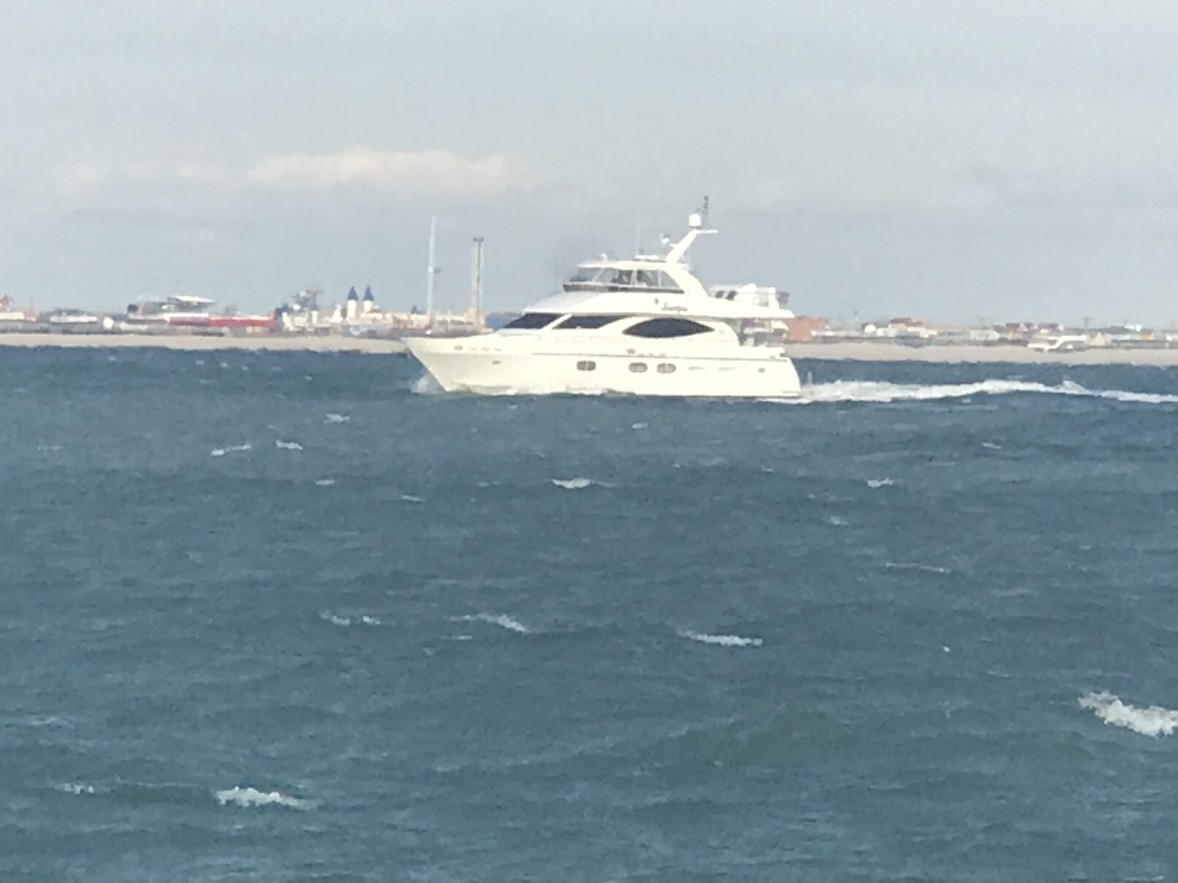
Just a short way south down the ICW and we are being passed MV Windward. This good looking yacht has direct access to the engine room from the swim platform. Something I always thought was a nice feature on a yacht. I also found it interesting that they attempted to make the boat name more readable when the engine room door was locked in the open position. I just don’t see how that can work though with the yacht’s name spanning the door opening? No worries as the name is also displayed on her sides. I love the stairs to the cockpit and flybridge as opposed to ladders. I do not know what make this yacht is? Leave a comment if you know.

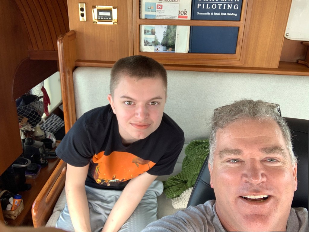
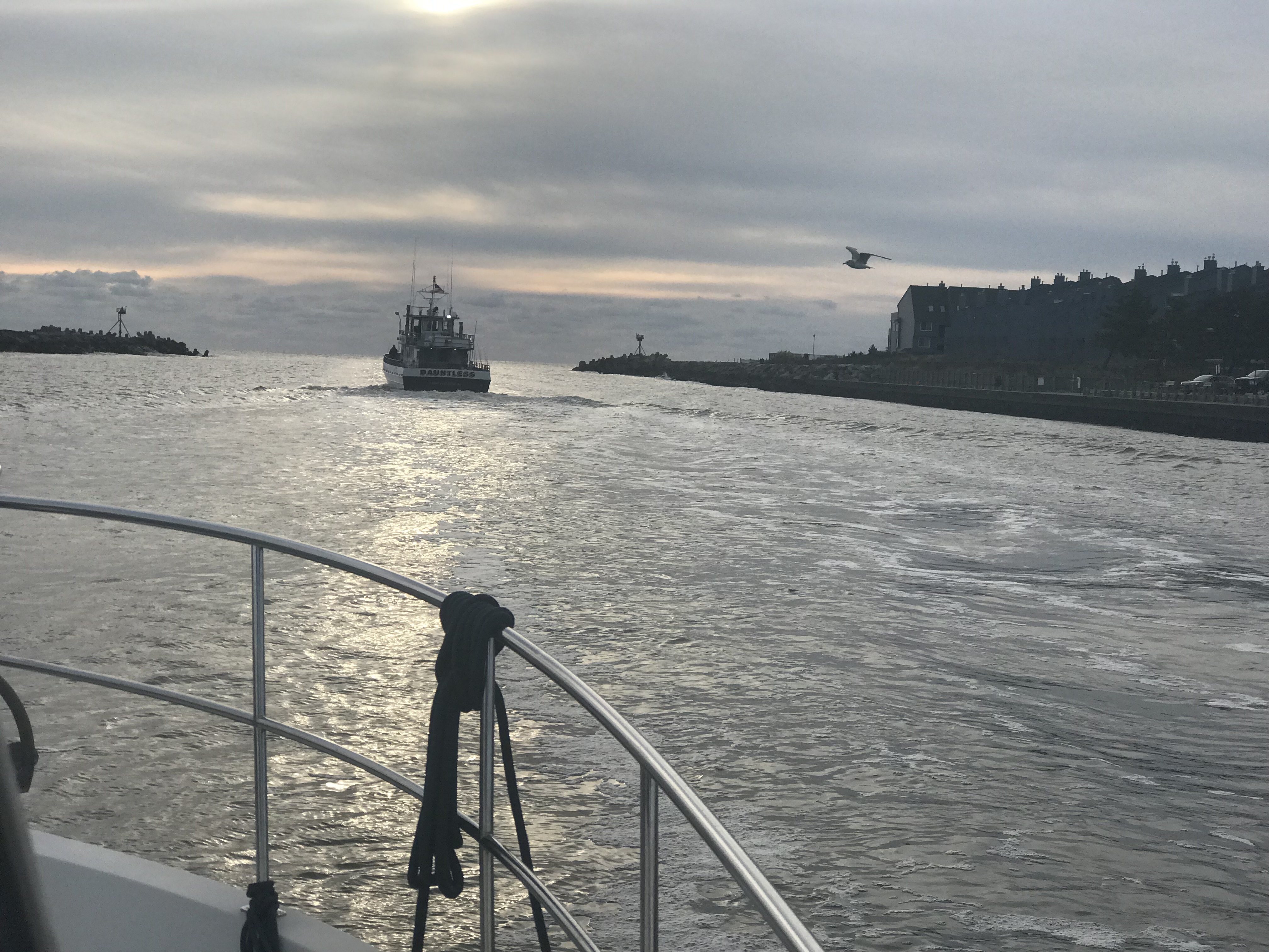
It’s windy today but Nathan & I are enjoying ourselves inside the pilothouse as we make our way south.
MV Patty Wagon passes us. She is a cockpit motor yacht with a sundeck style of yacht. I’m not sure that is the proper name for this style but you can see the sundeck on the aft of this yacht is kind of a mezzanine level (floor between floors). The enclosed sundeck sits above the cockpit yet beneath the flybridge and allows for stowage of their dinghy on the roof of the sundeck. Without the addition of the open cockpit on the stern, if you boarded from the swim platform you’d have to climb a ladder to get to the sundeck area. the addition of the cockpit not only gives you a great place for fishing or sitting out but allows you a safe place to climb that ladder up into the sundeck. If you fall on the ladder you fall in the cockpit and not onto a swim platform or off the yacht and into the water.

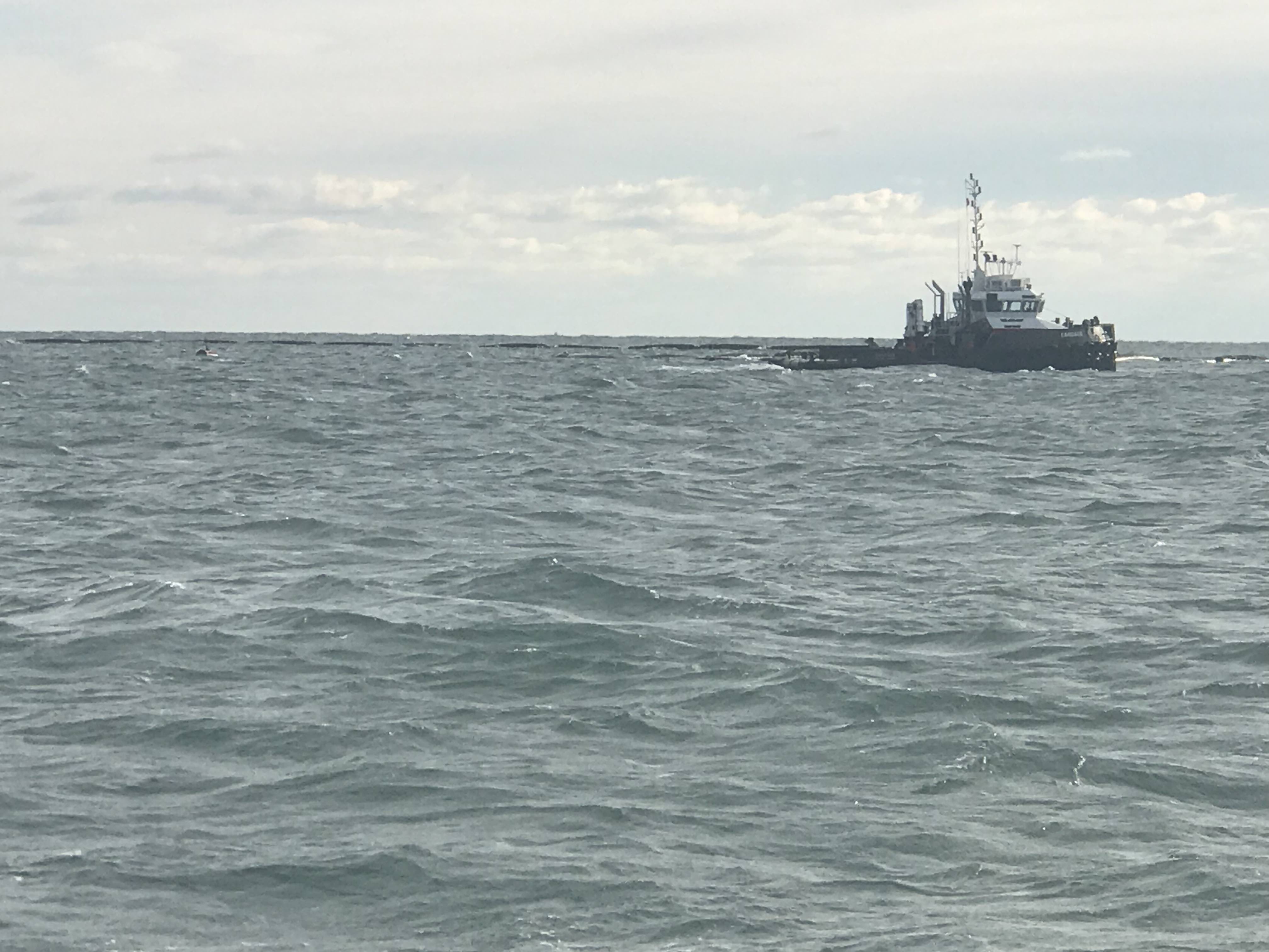
Soon we come upon a dredge in Fort Pierce, FL. The pic from afar shows the piping on the surface that carries the dredged material away. You must use caution when attempting to pass a dredge at night. Passing on the wrong side can have you running into the metal piping on the surface.

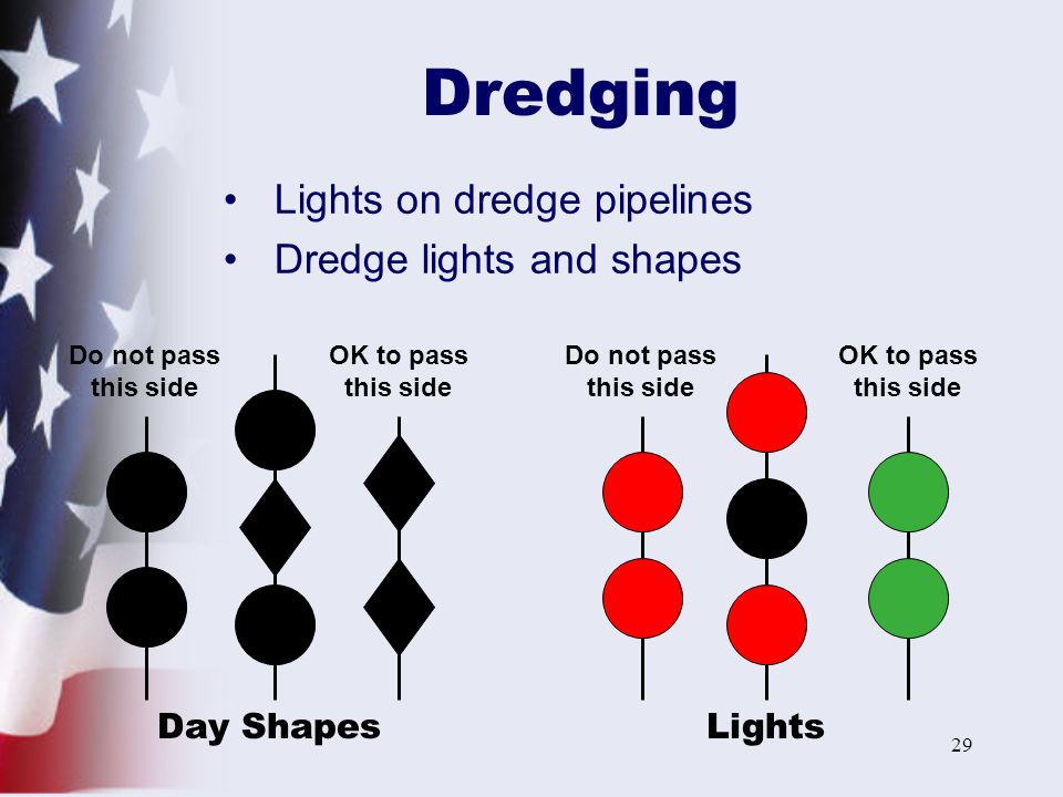
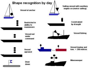
I have included this close up of the dredge where you can clearly see the black day shapes that are required by law. Every captain must learn these day shapes to understand what the dredge is trying to communicate.

In this case you can see the two vertical black balls are hung to the side with the piping. You can see the two vertical black diamonds are hung to the side you can safely pass. At night the dredge uses two vertical red lights on the pipe side and two vertical green lights on the passing side. The photo of dredge shapes and lights below also includes a RAM (Restricted in Ability to Maneuver) day shapes and lights.
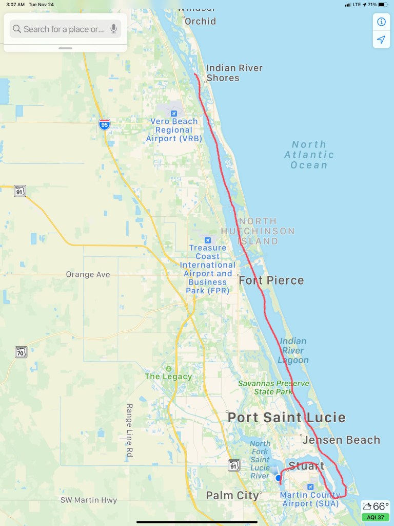
You can see the shoaling that the dredges must keep keep dredging in the below satellite photo. I marked our path as well as the St. Lucie Inlet, a cool looking development right at the inlet as well as where we anchored for the night in Stuart (blue dot).

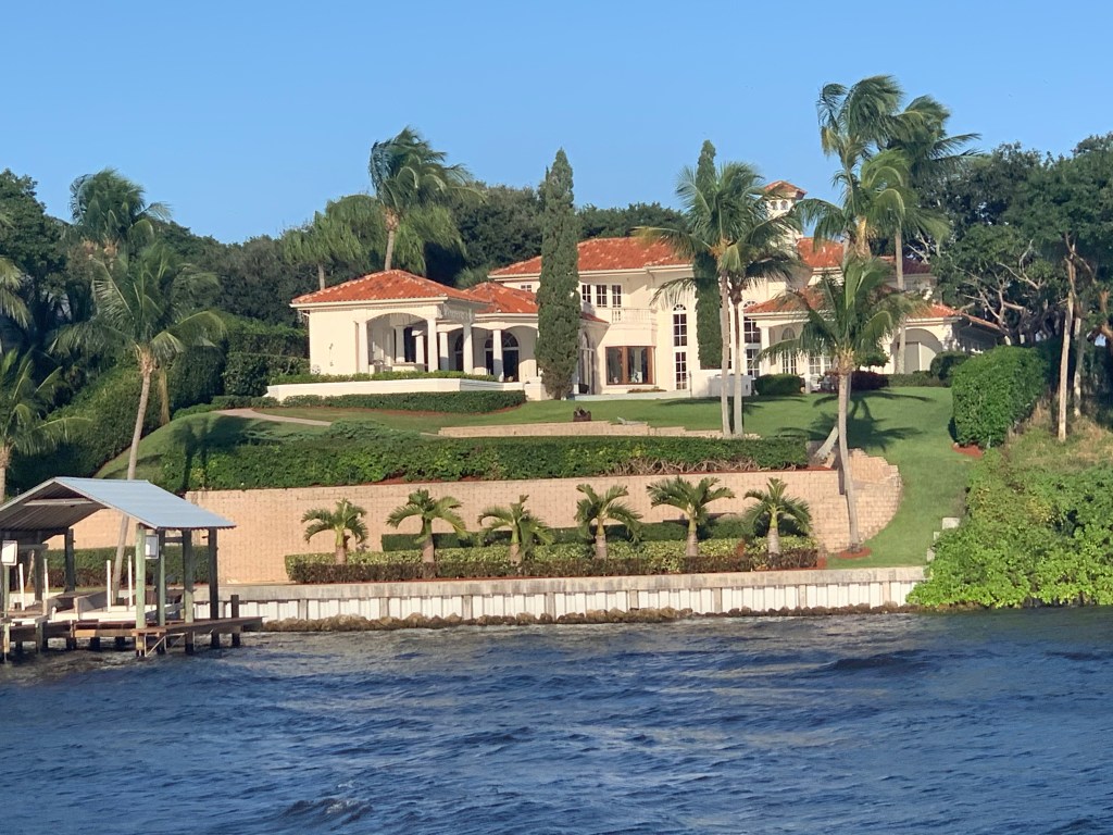
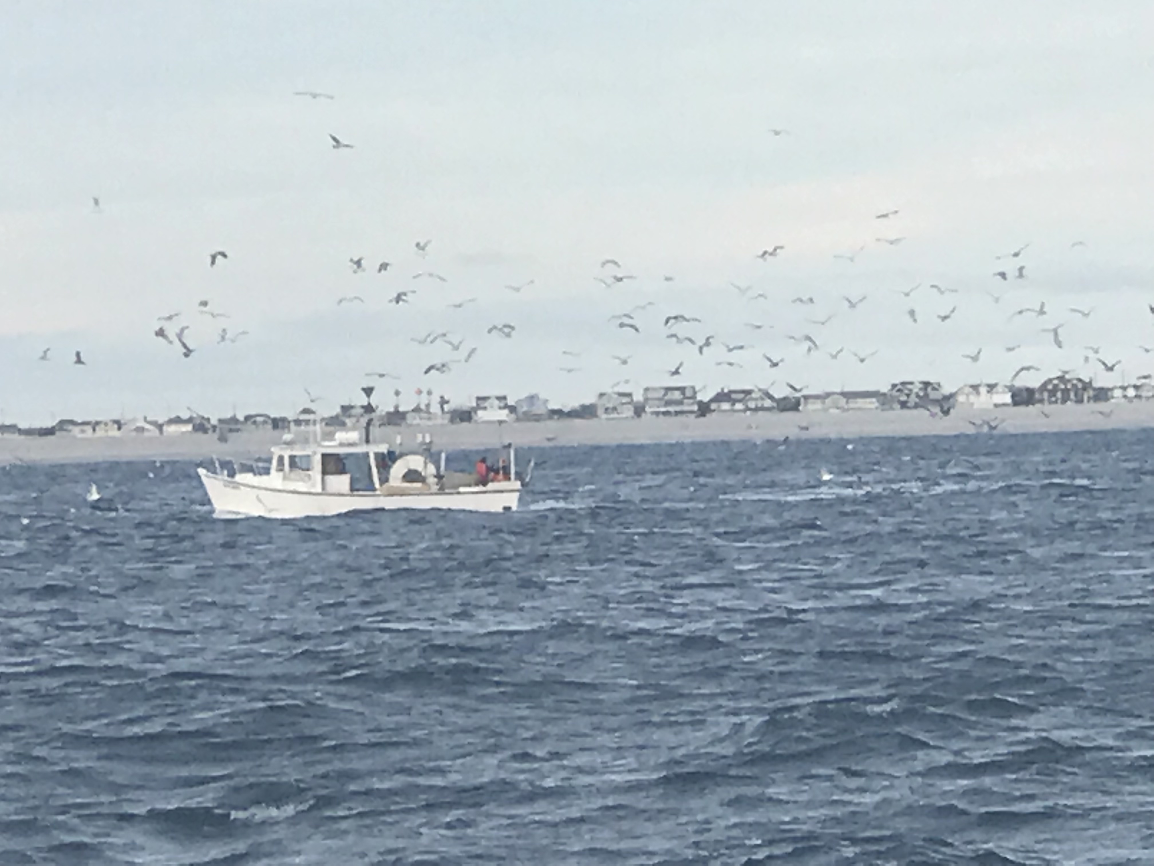
The homes as you enter Hoggs Cove are palatial.

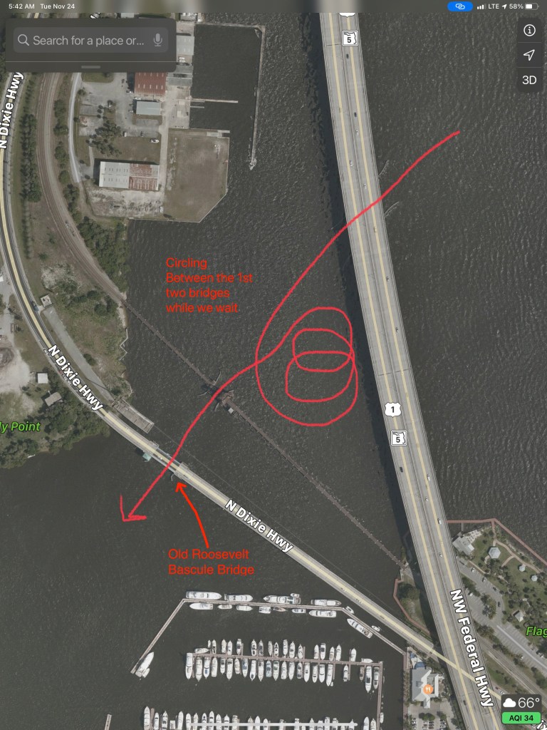
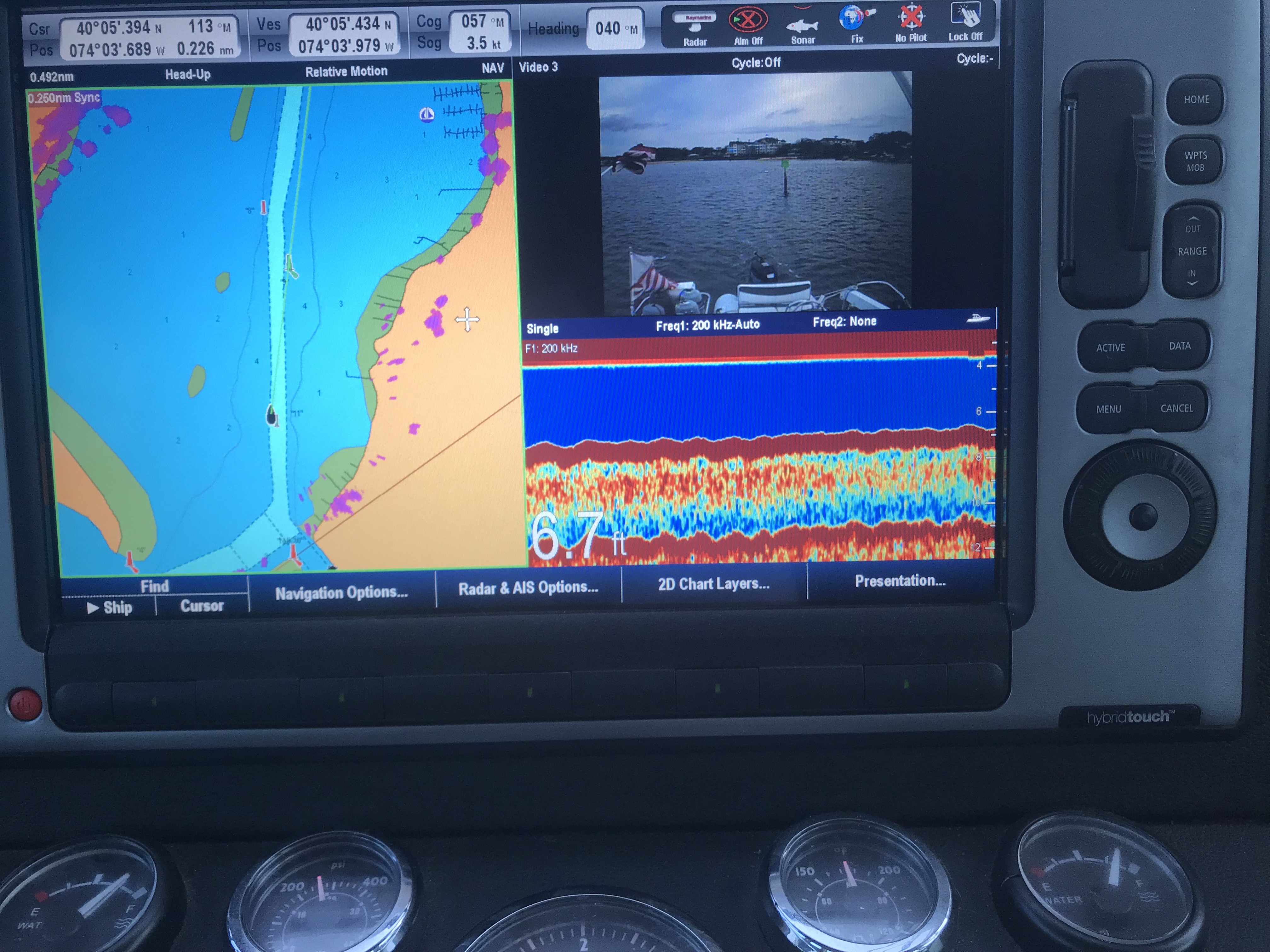
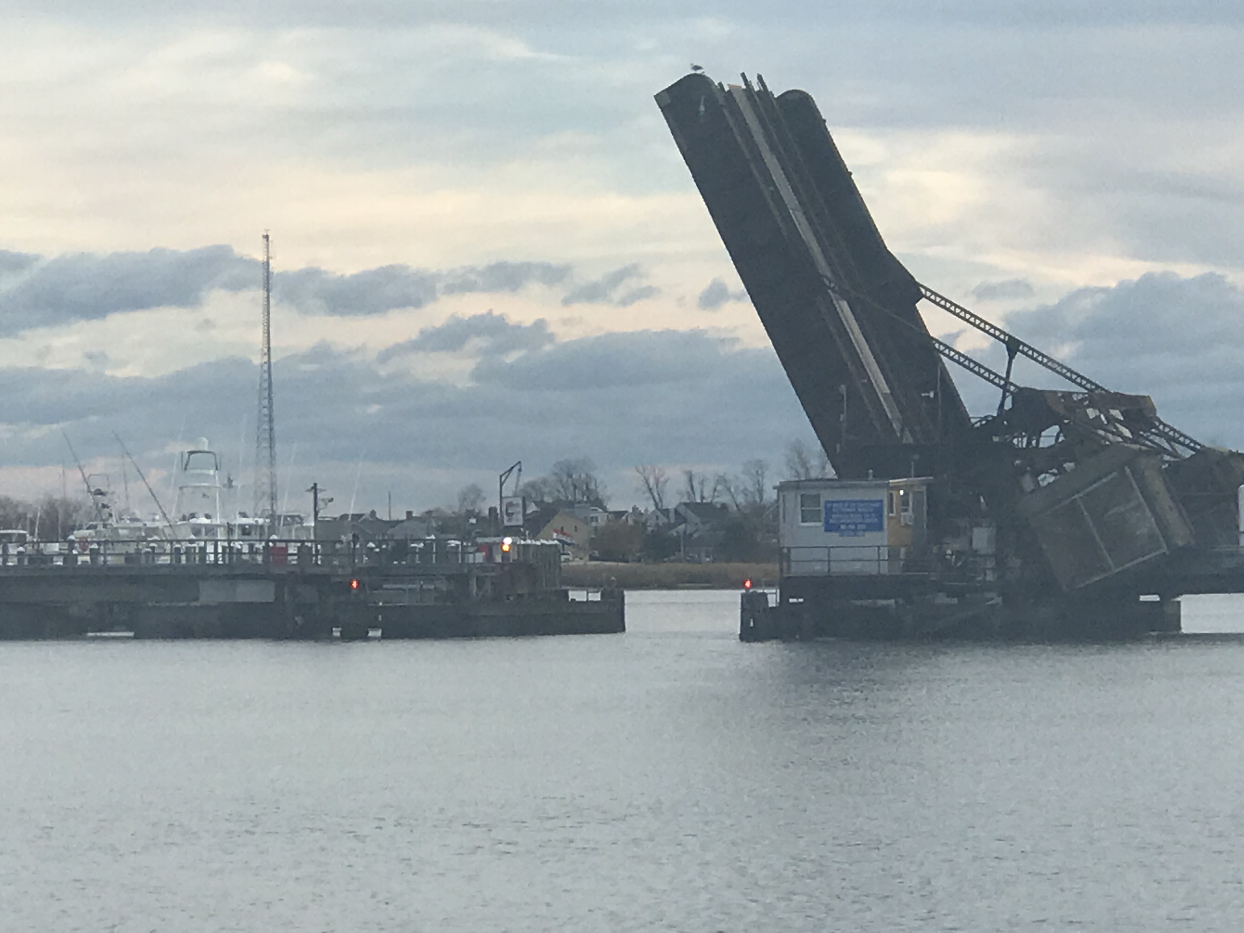
We raced to make it to the Old Roosevelt Bascule Bridge for its publicized 4:30 opening but are told it will not open till 4:45 when we arrive. We circle in the wind and current while we await the opening.
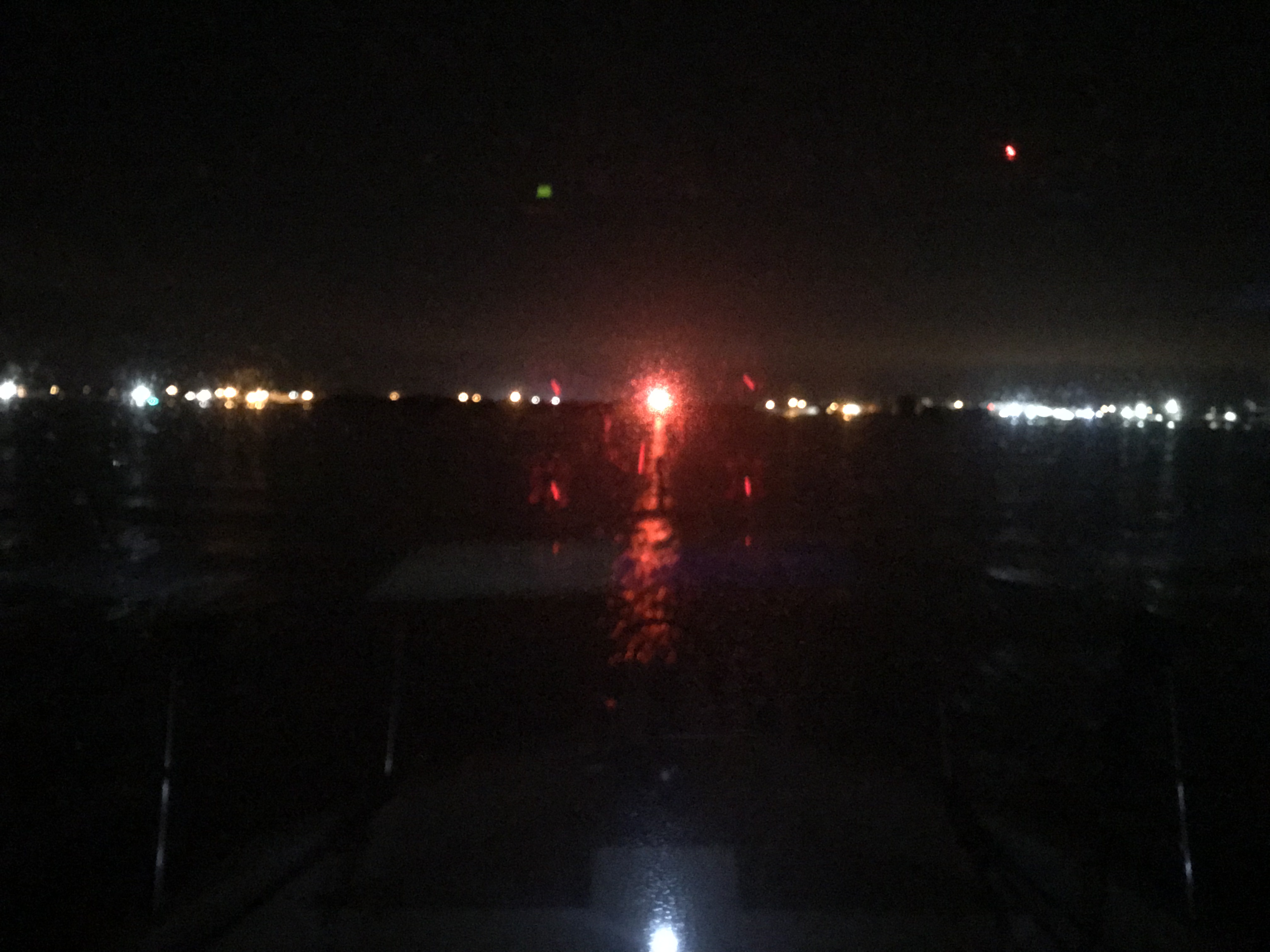
Just on the other side is our anchorage in Pendarvis Cove. The sun sets while we are on anchor as we prepare to watch the Tampa Bay Buccaneers vs. LA Rams game in NFL Week 11.

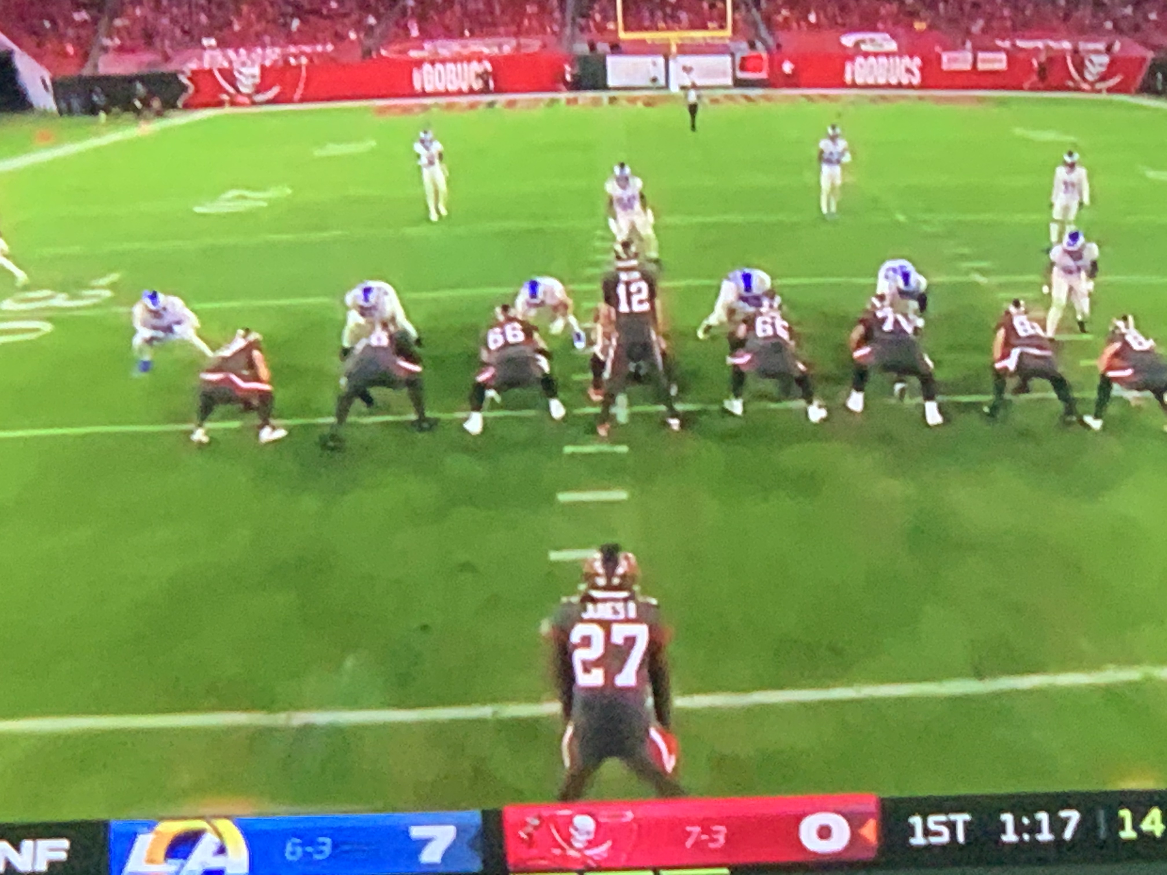
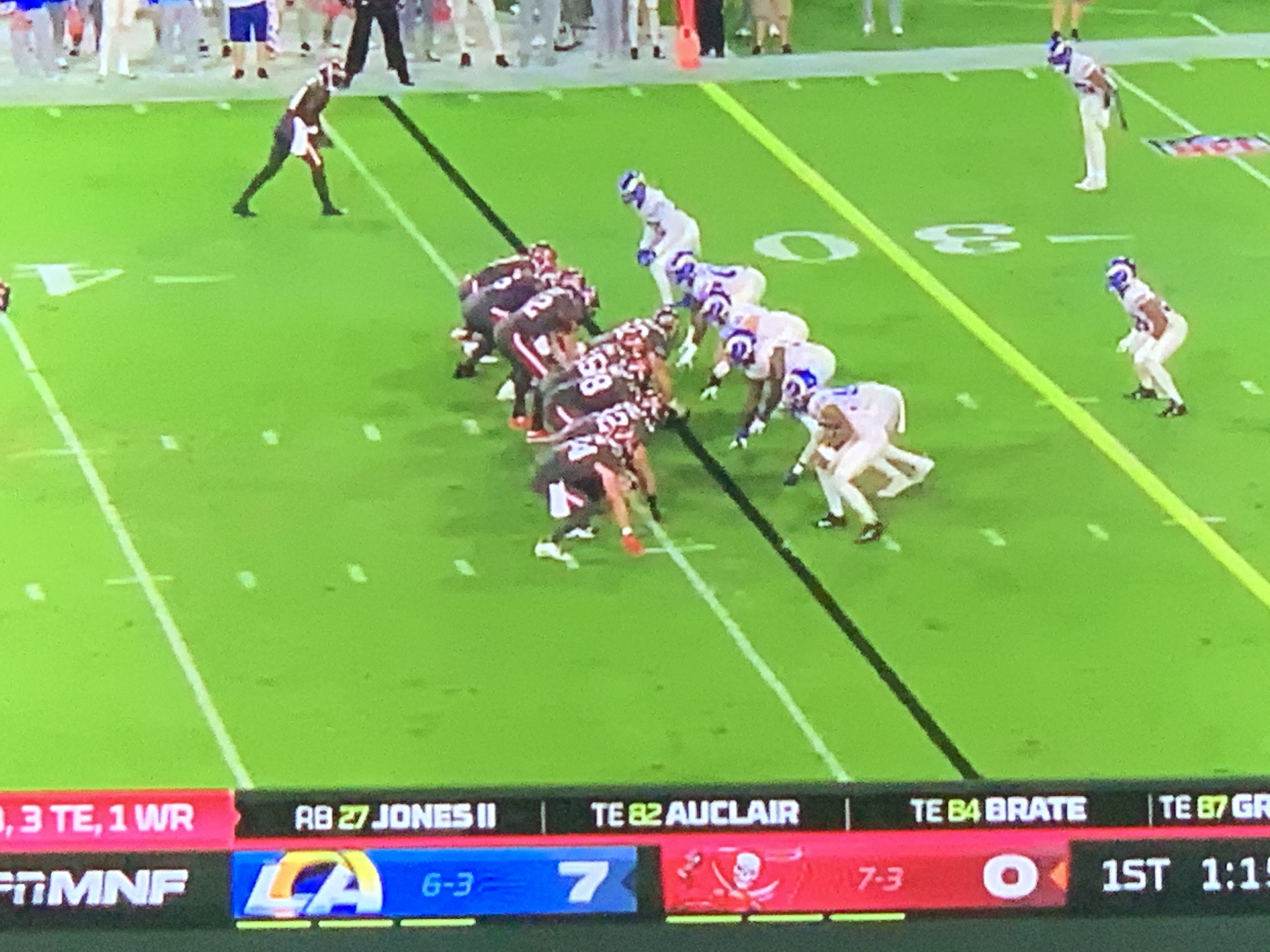
TB12 and Gronk. It feels like I’m watching the Patriots game to me.


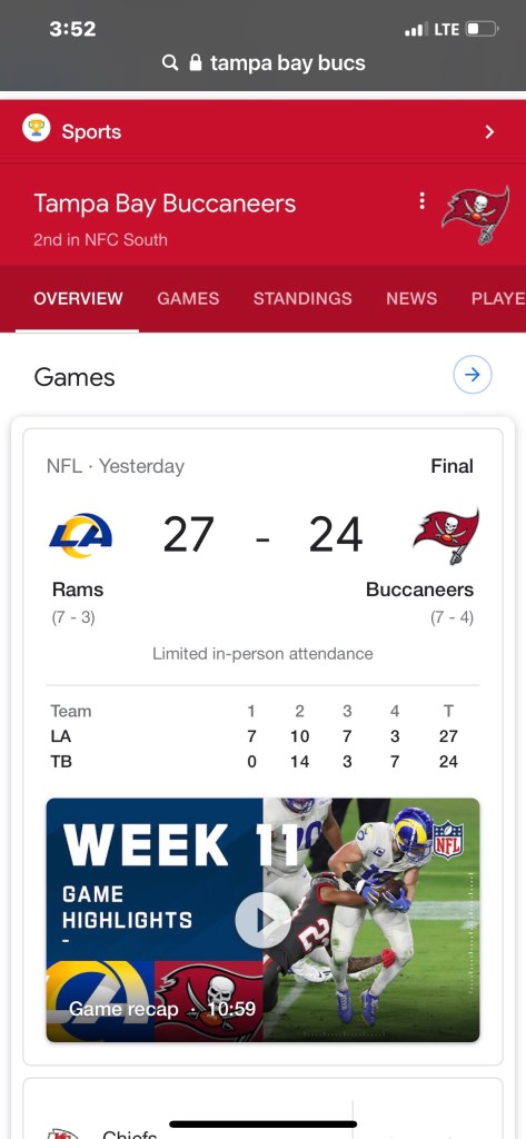
The final score was not what I wanted but I enjoyed watching.
The days journey looks something like this…


You must be logged in to post a comment.