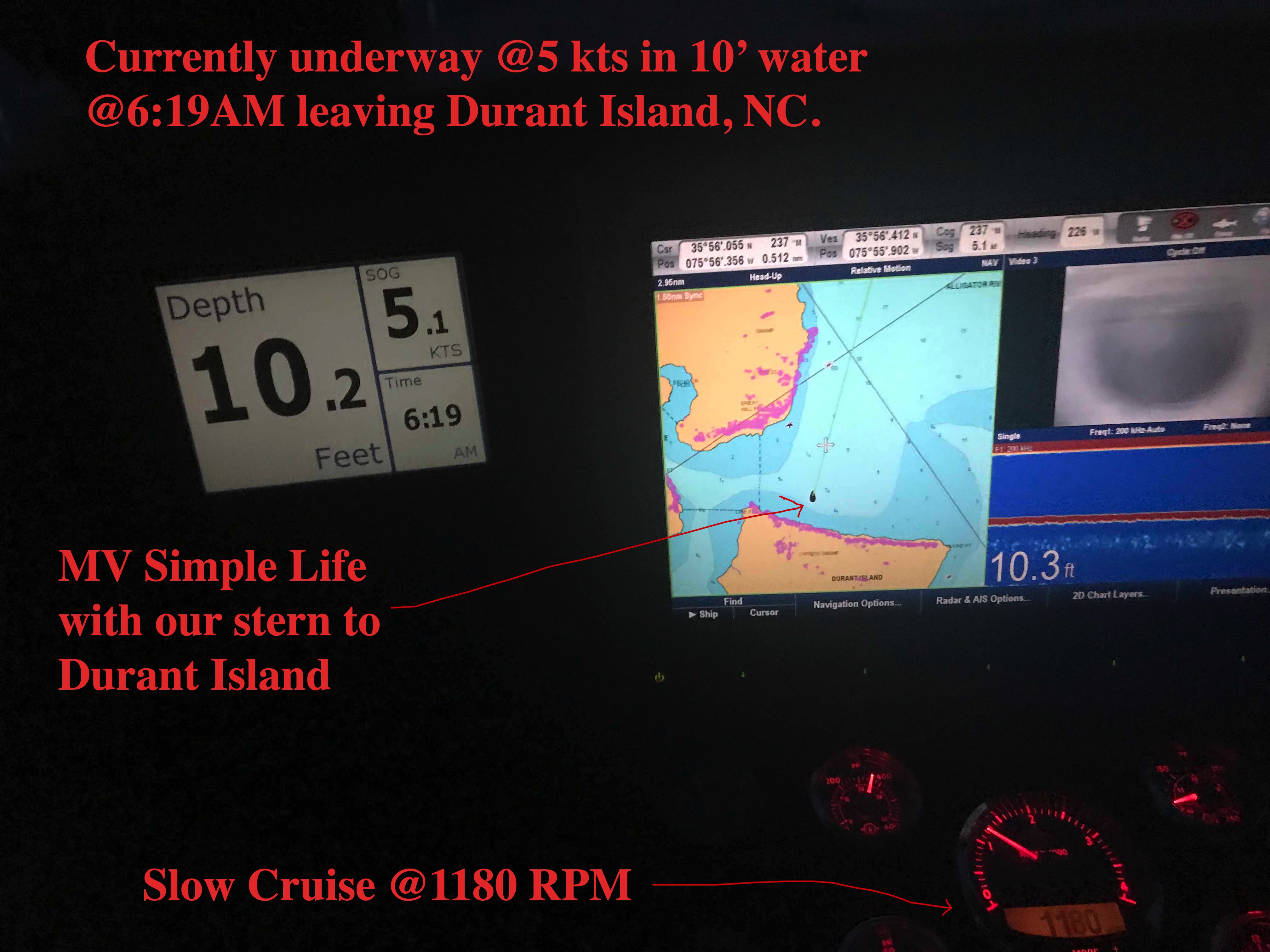
Beaufort, NC in two days requires an early departure. 6:19AM to be exact.
Departing our Anchoring Location off Durant Island, NC
Planning is a big part of cruising. It starts by thinking where you would like to get to. Then you check the weather, wind speed & direction, marine forecast, sea state, etc. If the weather is bad than you must consult the crew (wife / admiral ) and get their opinion on whether to go or stay put. If you skip this step you could find yourselves in marriage counseling.
Once you know where you want to go you must ask… “How long will this take at cruising speed?”. Slower cruising speed = better MPG = $. We conservatively plan 50 NM / day if we use the 10 hours of light that late November gives us. If we want to cover 70 or even 100 NM than we’ll have to run long into the night. Here you must know your limits. After 12 hours at the helm you may find yourself coming into an unfamiliar inlet or harbor on an inky dark, moonless night with wind & waves and other hazards. (See warning above about counseling).
I find that using every charting and weather app on your phone, tablet while underway to constantly revise your plan works best. Advise your crew that “the next two hours will be a lumpy ride but soon we’ll be enjoying a drink in a peaceful anchorage for the night”.
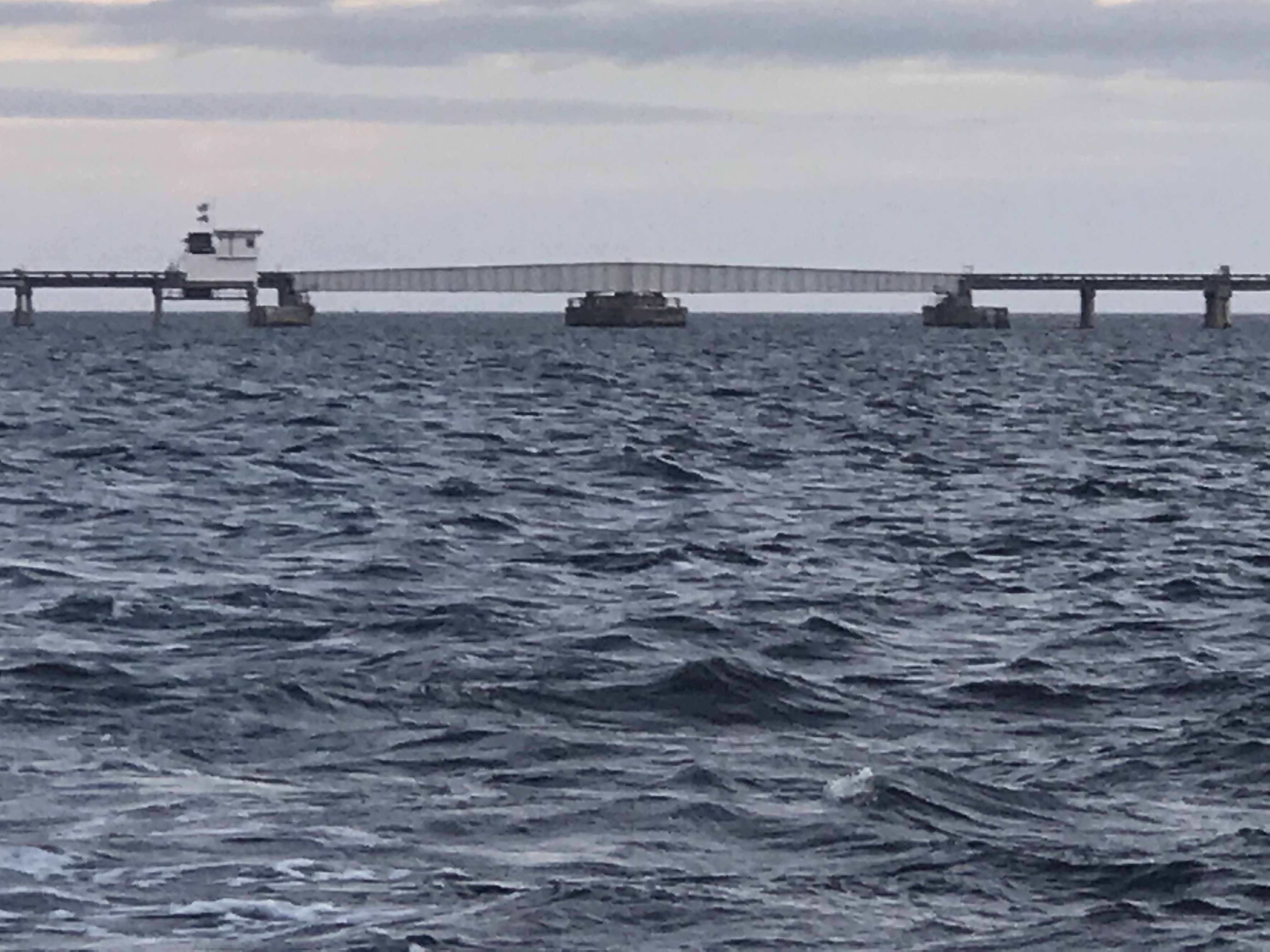
Alligator River Swing Bridge
Underway
The Alligator River Swing bridge crosses the broad mouth of the Alligator River. It must be fun driving over this long bridge that is only 20 feet or so above the River.
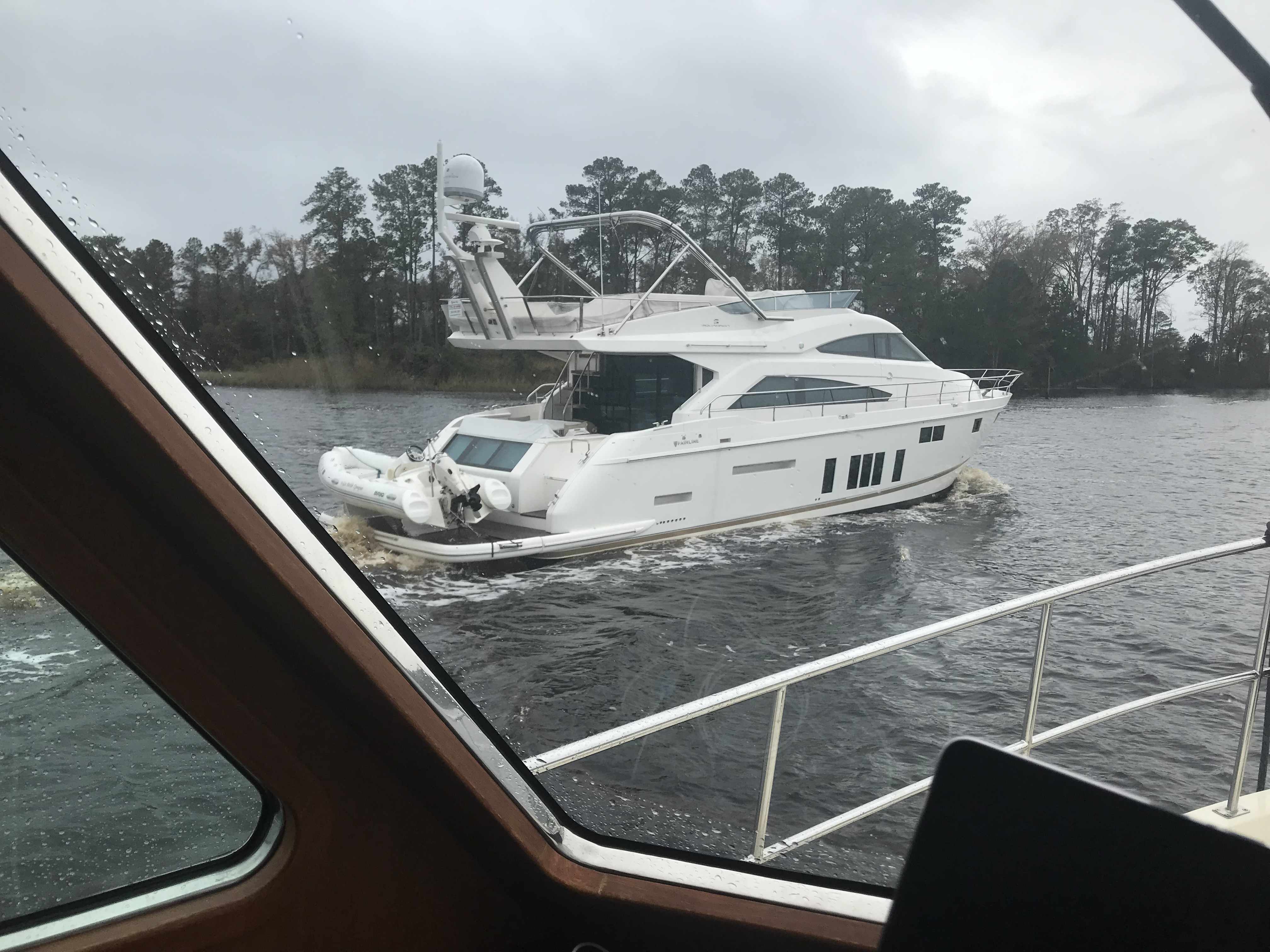
Sport Fishing Yacht Kelly Lynn
Slow Pass
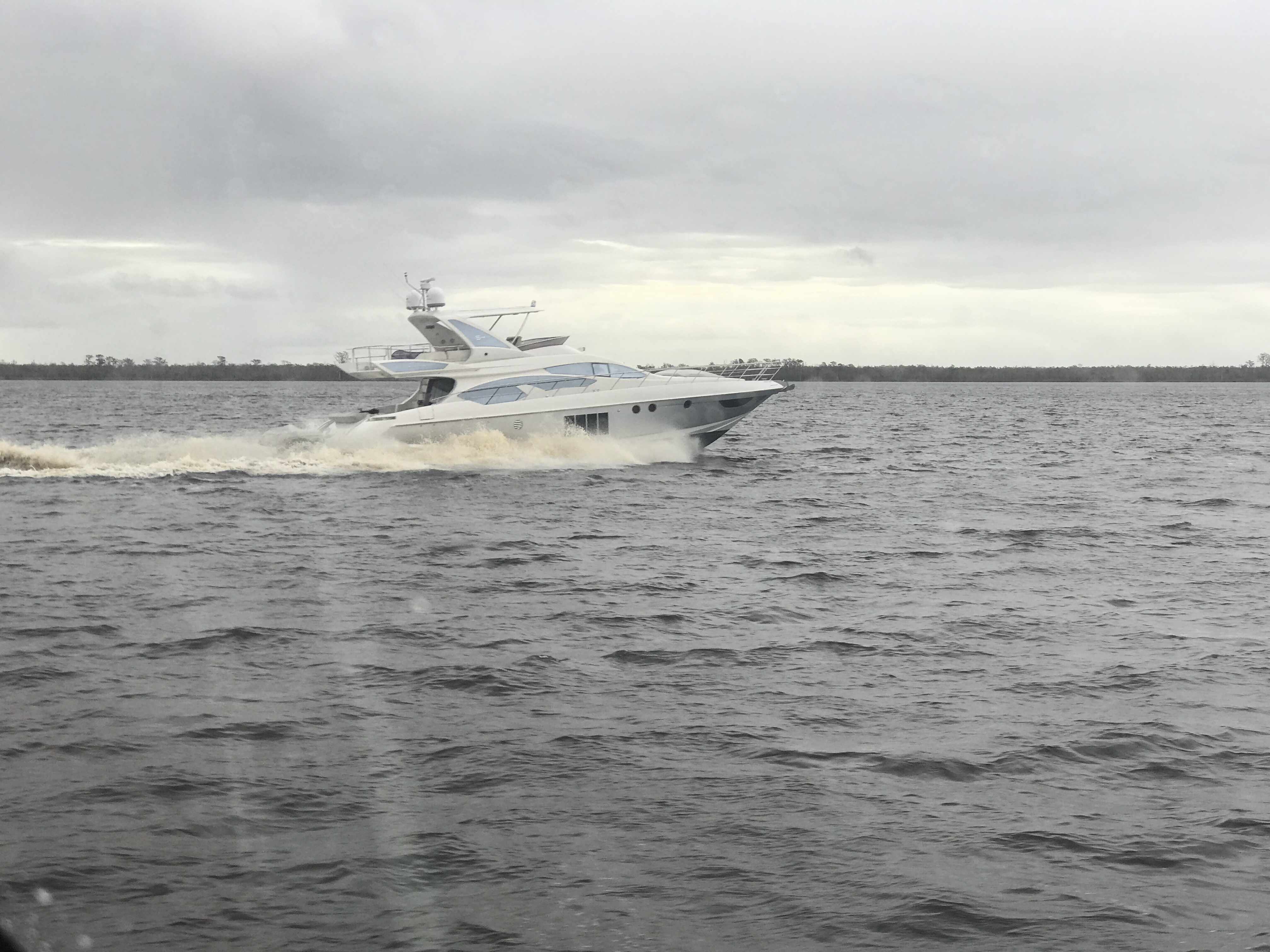
Azimut
We had to keep to starboard as our radar showed many faster yachts coming up behind us. They would zoom on by and we’d have to do a quick 90 degree turn to cut their wake or get rocked.
When you reach the Southern end of the Alligator River you enter a 20 mile long canal that was cut through the land with a laser gun. OK maybe it just looks-like the ACE (Army Corp of Engineers) used a laser gun? It’s so straight we barely need to adjust the autopilot heading.
Alligator River – Pungo River Canal
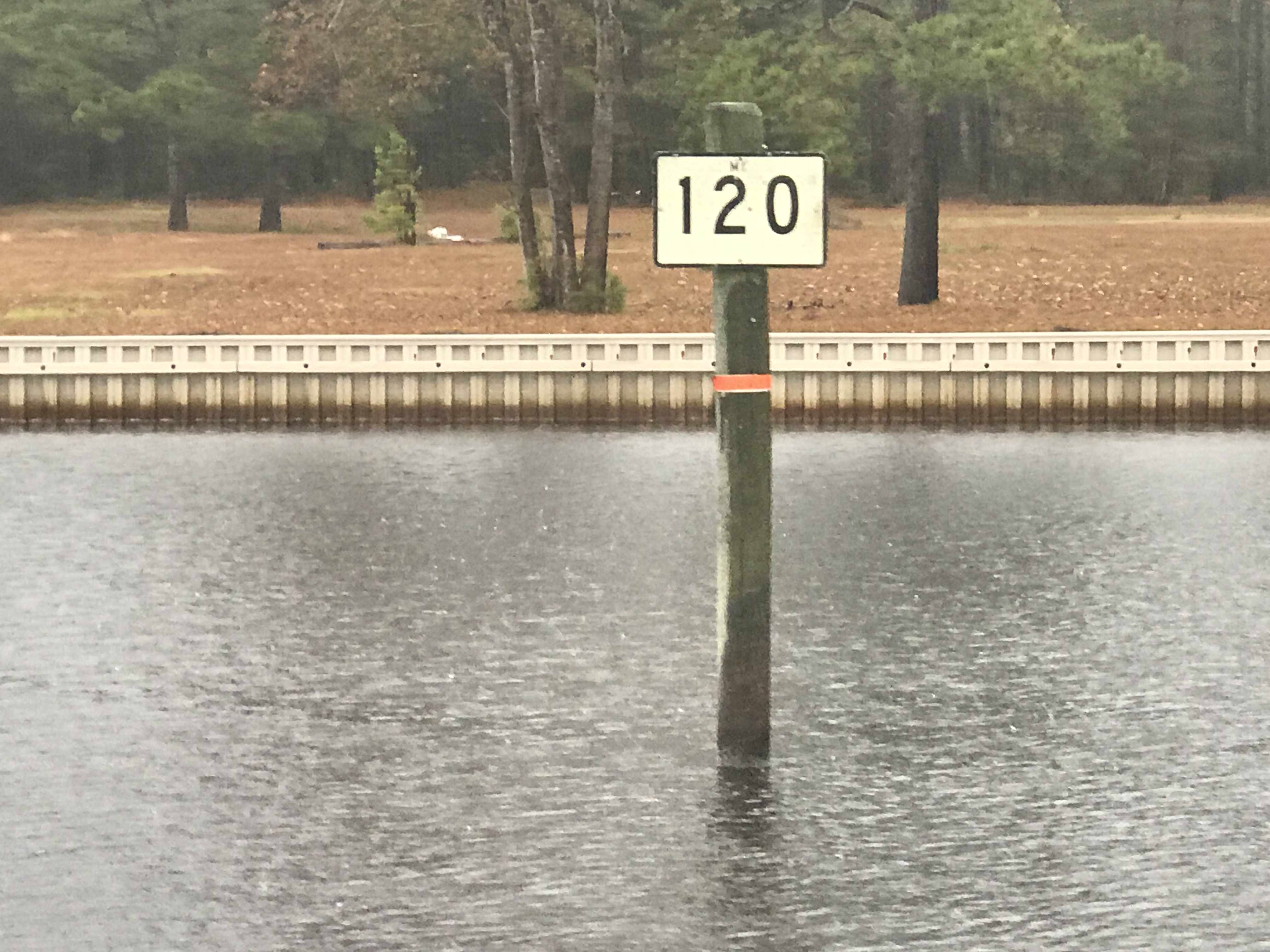
While you are keeping an eye out for hazards like tree stumps and deadheads (trees snapped off at or near water surface), you’ll pass ICW Statute Mile markets reminding you that you have a long way to go.
ICW MM 100
ICW MM 120
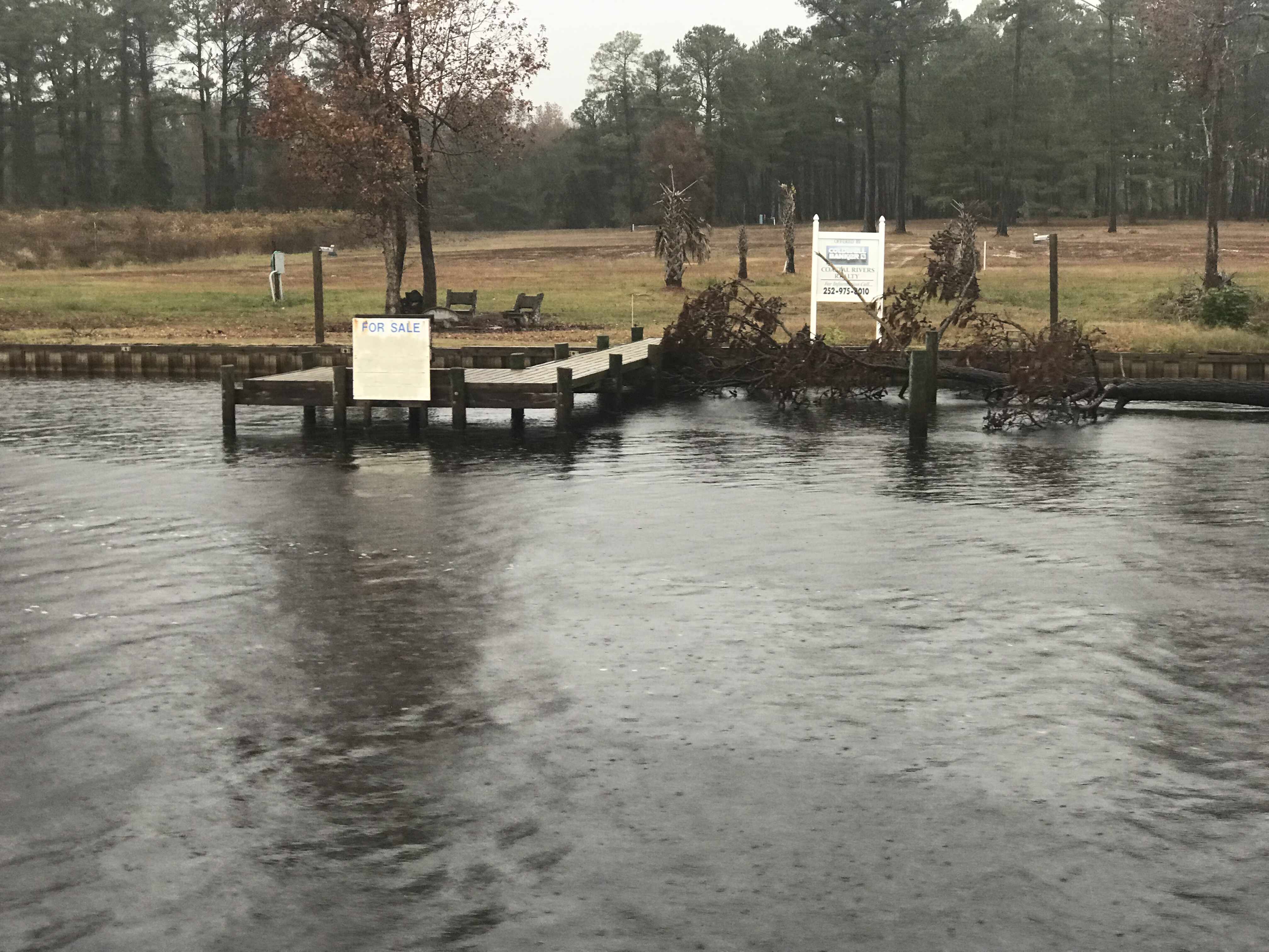
There is land for sale along the canal.
For SALE
Perfect if you like duck hunting like this hunter we passes who was picking up his duck decoys.
Decoy Ducks
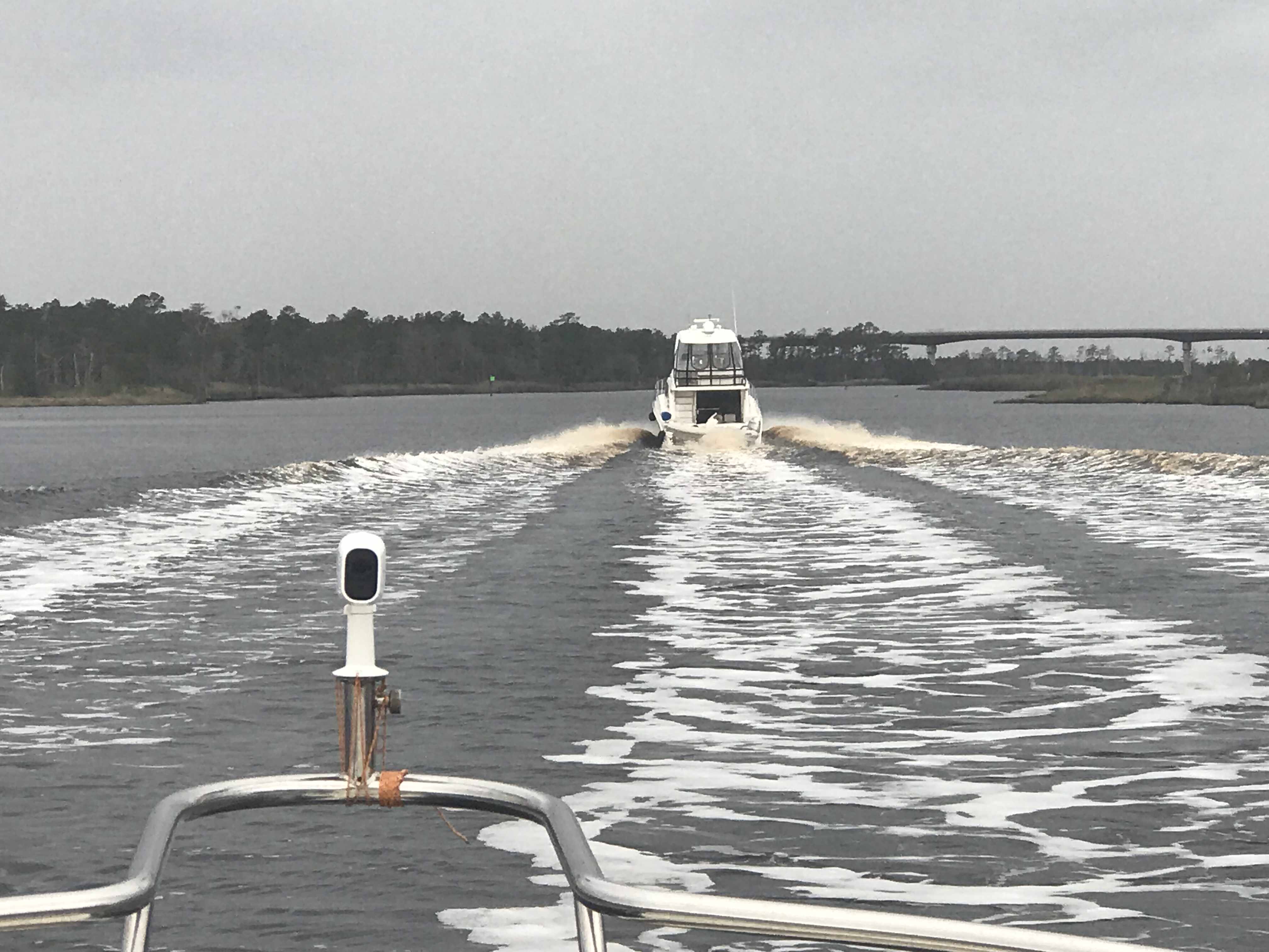
Moving over for oncoming or passing traffic must be done carefully as outside the center of the canal you’ll run into shoals, stumps and other hazards.
I Don’t Think We Can Keep Up
When you see a bridge like the one in the picture above you quickly grab your phone and check for a cell signal. Yup, you’ll have a signal for maybe the next mile.
It was cold and rainy but warm inside our pilothouse.
We knew from checking the wind speed & direction that when we exited the Pungo River it would be lumpy.
Soon we were tucking into Goose Creek and then again into Campbell Creek to avoid the weather. Anchored tight to the tree-lined shore in Campbell Creek we found respite from the weather.
Anchored in Campbell Creek
Saturday’s leg looked something like this.
W02L011 – Winter 02, Leg 11
The cell signal in here is either weak or just non-existent.
Yesterday morning we awoke before sunrise and got underway to Beaufort, NC.
The first & last supermoon of 2017 was helping slice through the dark as we pushed away from the dock.
Supermoon Reflecting the Sun’s Rays
Supermooninfographic
Supermoons happen when a full moon approximately coincides with the moon’s perigee, or a point in its orbit at which it is closest to Earth. This makes the moon appear up to 14 percent larger and 30 percent brighter than usual.
December’s supermoon is actually the first of three back-to-back supermoon full moons to come in the next two months. On Jan. 1 and Jan. 31, the full moon will also occur near the moon’s arrival at perigee, according to NASA, which billed the line up as a supermoon trilogy. The Jan. 31 supermoon is also the second full moon of January, making it a Blue Moon, and also occurs during a total lunar eclipse.
As the sun got ready to sneak over the horizon there was a beautiful orange-pink hue reflecting off the water.
Before Sunrise
Today’s leg of our journey takes us from Hobucken, NC to Beaufort, NC
The Beaufort of coastal North Carolina is “BOH-fert”. The Beaufort of South Carolina is pronounced “BYOO-fert”. Established in 1709, Beaufort is the third-oldest town in North Carolina.
Beaufort Leg of Journey
As we made our way out of Goose Creek and into Pamlico Sound, the only traffic we passed was a tug pushing a barge.
YATPB – Yet Another Tug Pushing Barge
The dominant wave set was coming from the NE and that meant we had a following sea as we turned and made our way down the Neuse River. A following sea that is slightly to one side of the stern can be annoying when you are at the helm. The waves catch up to the boat from behind and lift the stern pushing it to port or starboard. This can swing the bow as much as 30 degrees at times and it starts to feel like you are pointing the boat all over the place. I made a quick adjustment to increase the autopilot’s response rate and the bow heading deflection lessened considerably. Being a slow boat (6-9 knots) you are often at the helm from sun-up to sundown to make your destination. Autopilot is an electronic device with some firmware loaded on it that drives a hydraulic pump which turns the rudder. There are many settings that you can control but the response rate is the one you will want to adjust so that the rudder position changes are swift or slow enough for how you want the boat to point.
Autopilot Control
Autopilot Display
As weekend boaters, we were boating in destinations like Block Island, Nantucket or Provincetown. These locations are anywhere between 6-12 hours from our home port in Warwick, RI. We would be forced to run the boat at 8.5 knots and only get about 1 MPG. Now that we are full-time boaters, we slow the boat to about 6 knots and get 4 MPG. You can go 4X farther if you simply reduce your speed by 2.5 knots. (Recall 1 knot = 1.15 MPH so approximately every 6 knots you would simply add 1 to get the speed in MPH).
Even knowing this, we made the decision to up the speed to 8.5 knots and reduce the amount of time spent in the following sea.
Happy and Chief Martin Brody appreciated that we burned a a bit more fuel for their comfort.
Chief Martin Brody and his Big Sister Happy
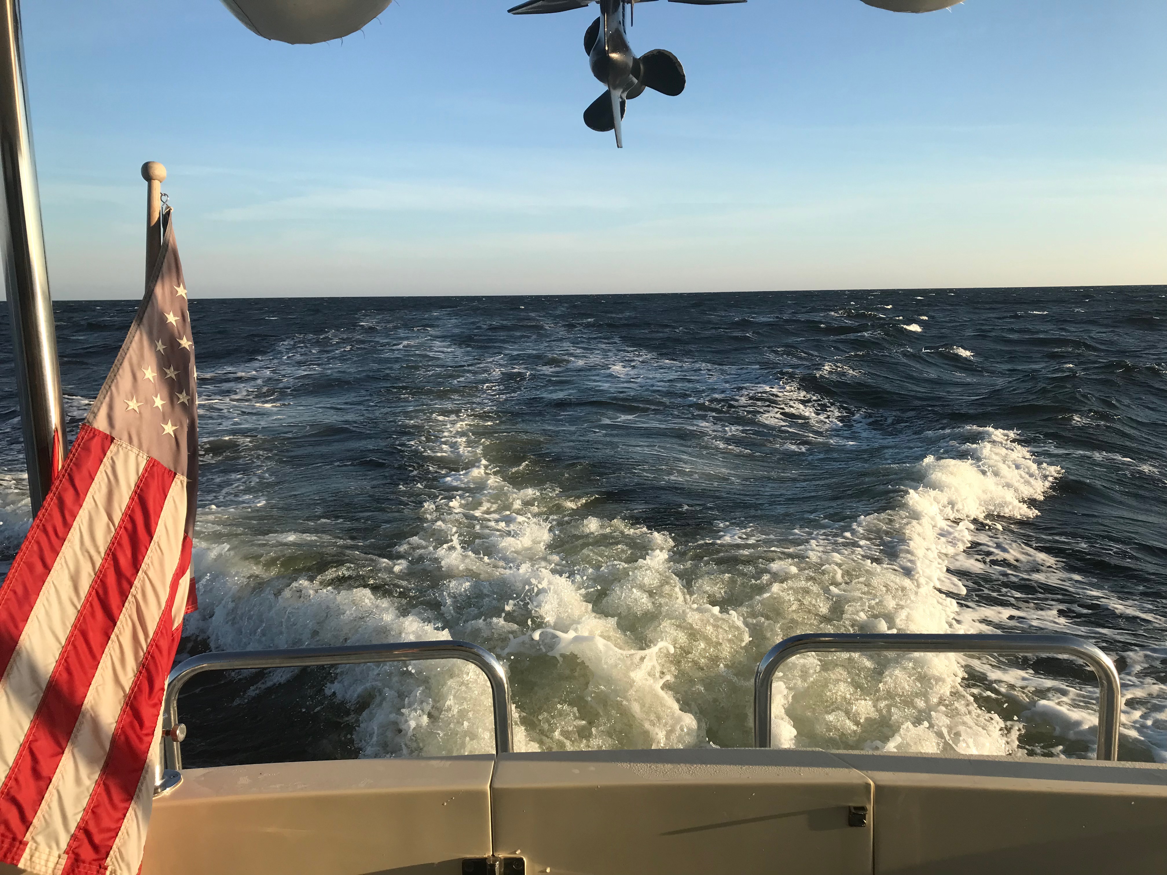
Wake in the Neuse River
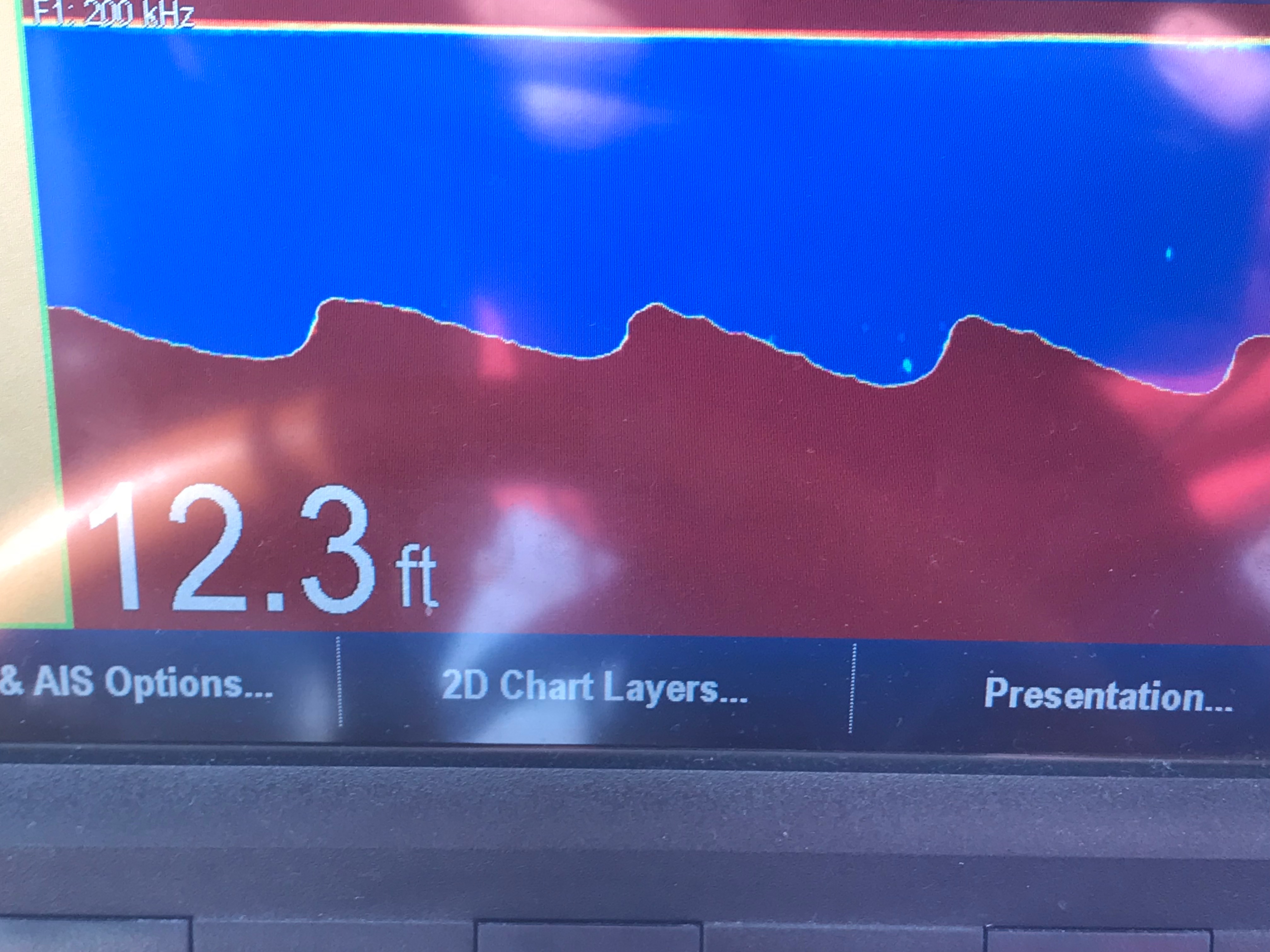
As we turned into Adam’s Creek the ride smoothed out and we dropped back down to 6 knots. The current in Adam’s Creek was swift and the DSM (Depth Sounder Module aka. Fish Finder) was showing asymmetric rippling of the creek bottom. I believe this is caused by a swift bottom current.
Asymmetric Rippled Bottom of Adams Creek
The fish finder was also well, finding fish. The DSM uses sonar or high frequency sound generated by a device that protrudes through the hull and is sending a column of sound waves straight down beneath the boat. These sound waves not only reflect off the bottom but when they hit a fish the sound resonates in the fish’s swim bladder (a small air-filled sack that helps control a fish’s buoyancy) and this echo is detected and colored sharply to allow you to spot fish on the screen.
Look Swim Bladders
Adam’s Creek is a lovely place with lots of sights to see.
Bonus Points for Parking Your Helicopter in Front of Your Mobile Home
Boat Slip only $75K
I’m Pretty Sure The War Over Slavery Ended?
Adams Creek spills out into the Newport River and it’s marshes and shallows are something that you will want to avoid.
Newport Marshes as you Head South to Beaufort
Kelly & I Often Joke… “If You Want to Know Where it’s Shallow; it’s Where the Birds are Standing”
As we pulled into our slip in Beaufort we hailed the dockmaster who warned us about the swift current running transverse to the slip we were assigned. As we pulled in to the fairway the current slammed into our full keel and began to push the boat toward the bows of the boats across the fairway. I was forced to back out quickly and reposition so that I could now take the swift current into account and position the boat for rapid spin and quick back into our slip. Kelly was quick to toss lines to the dockhands and soon we were checked in and given the keys to a “courtesy car”. Up North, I’ve never stayed at a marina that offers a fee courtesy car to marina guests. The car was a welcome treat and we put it to good use re-provisioning the boat with more food & beer.
Courtesy Car – We Got Wheels!
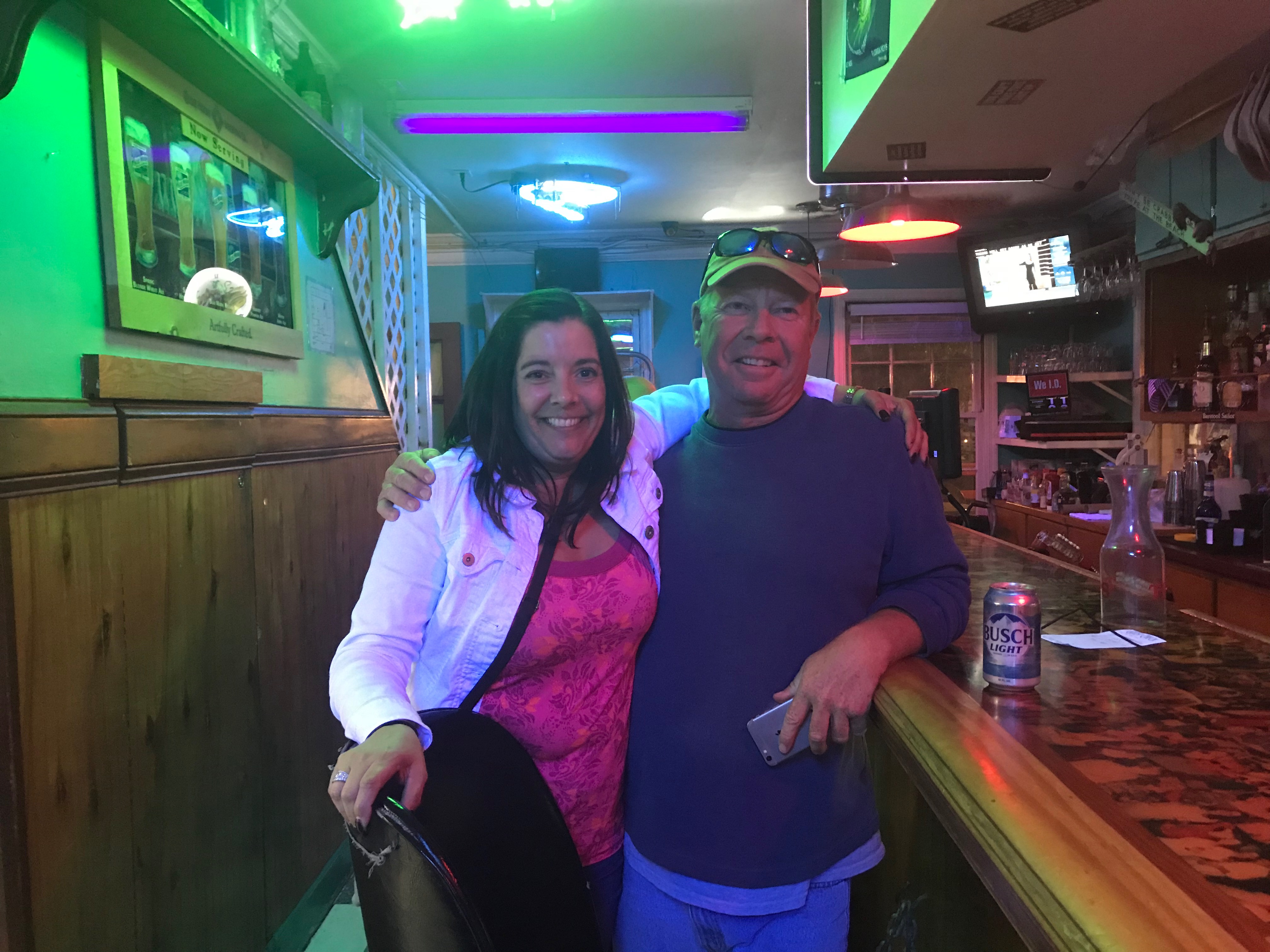
With all our chores completed we quickly made off to the marina bar for happy hour and spent time chatting with Bartender Kristen and fellow bar patron, Dan. Dan was an amazing fellow who told us stories of his solo sailing around the world in a small boat. He offered us some local knowledge about wild horses that roam the islands around here. I KNOW more wild horses to find!
Kelly & Sailor Dan
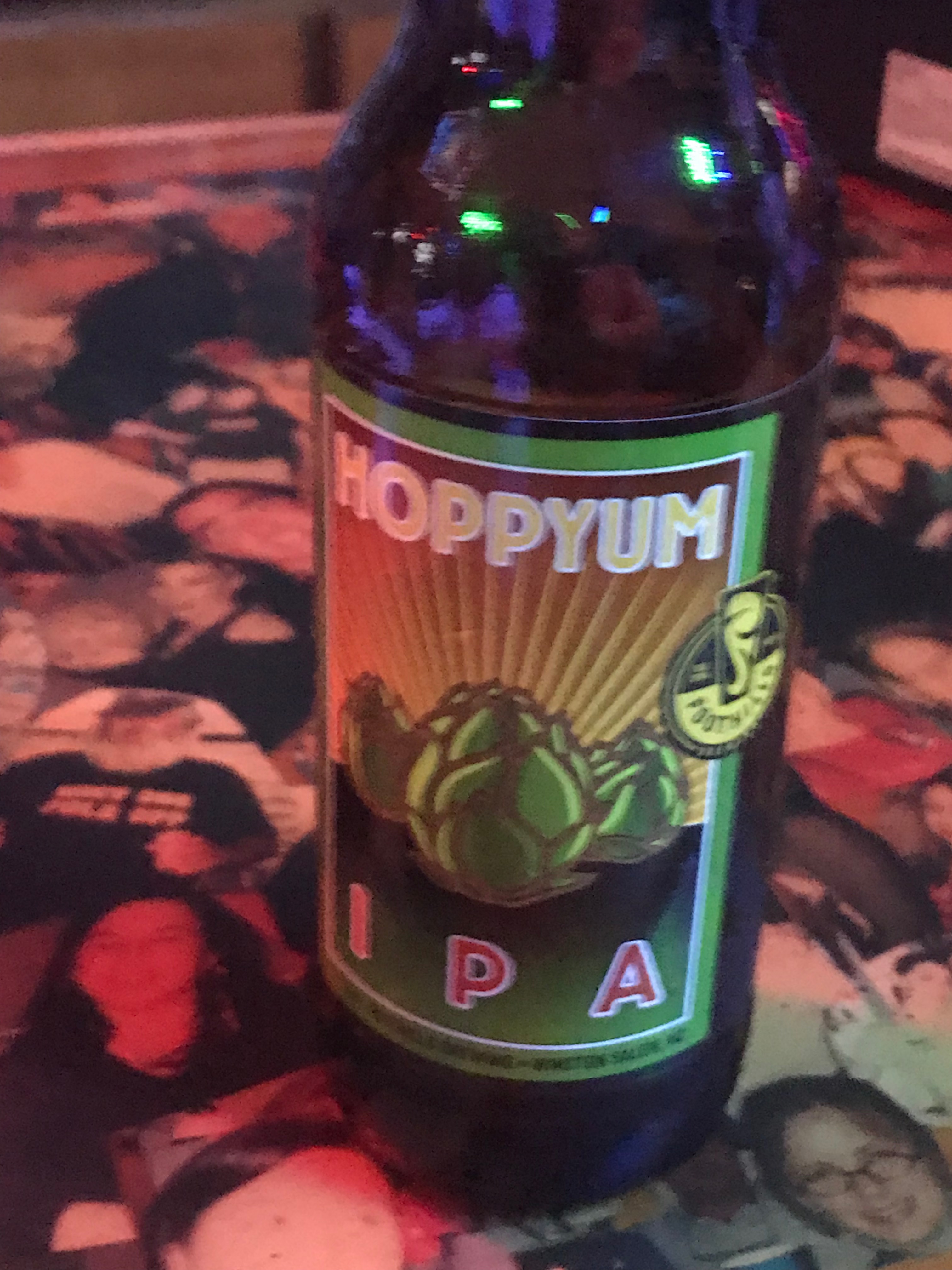
After I consumed as many 50 cent pork sandwiches as a man can eat and washed them down with a great local IPA it was time to retire to the boat.
We were no sooner readying for bed when we were accosted by “Monkey Bird”. This vile creature had a penetrating stare and an awful cry. I spent sometime staring into this monster’s gaze and knew it was time to lock the door and keep the crew of Simple Life safe.


You must be logged in to post a comment.