Dark Neuse

First light while anchored in the Alligator River is a nice way to start your day.

Anchored off East Lake, NC in the Alligator River

Getting Loopy

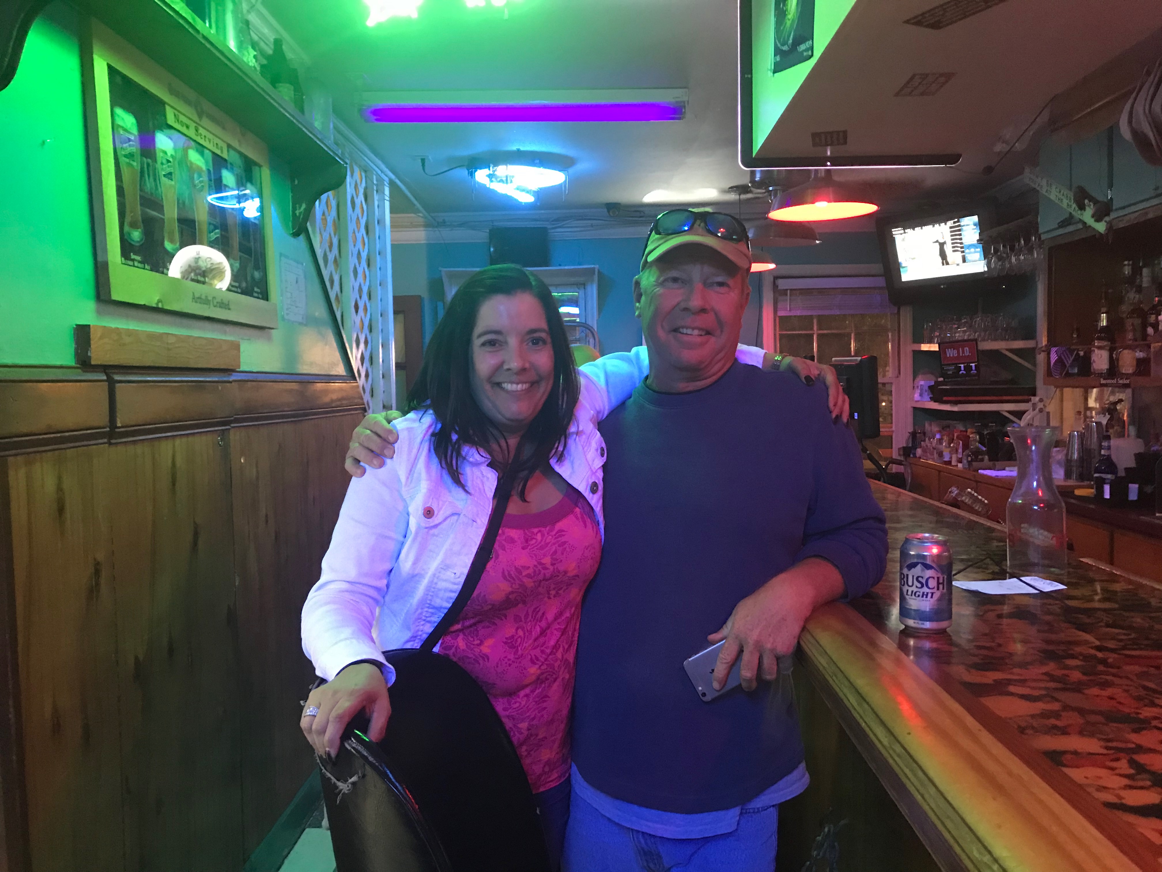
Last nights anchorage was peaceful. There was a light wind so we anchored far from the only lodge you can see lit up on the shore of East Lake, NC. I weigh anchor and do a loop around Effervescence IV.

A loop around Effervescence IV and heading for the deep area and the bridge

Debbie calls out “Good Morning” while standing on her bow. Glen and her are prepped to weigh anchor as we are looking to get underway before sunrise.
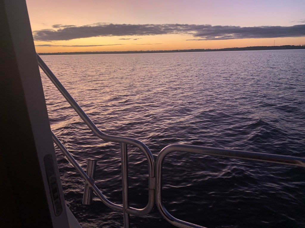
Effervescence IV at first light

Back in the Channel

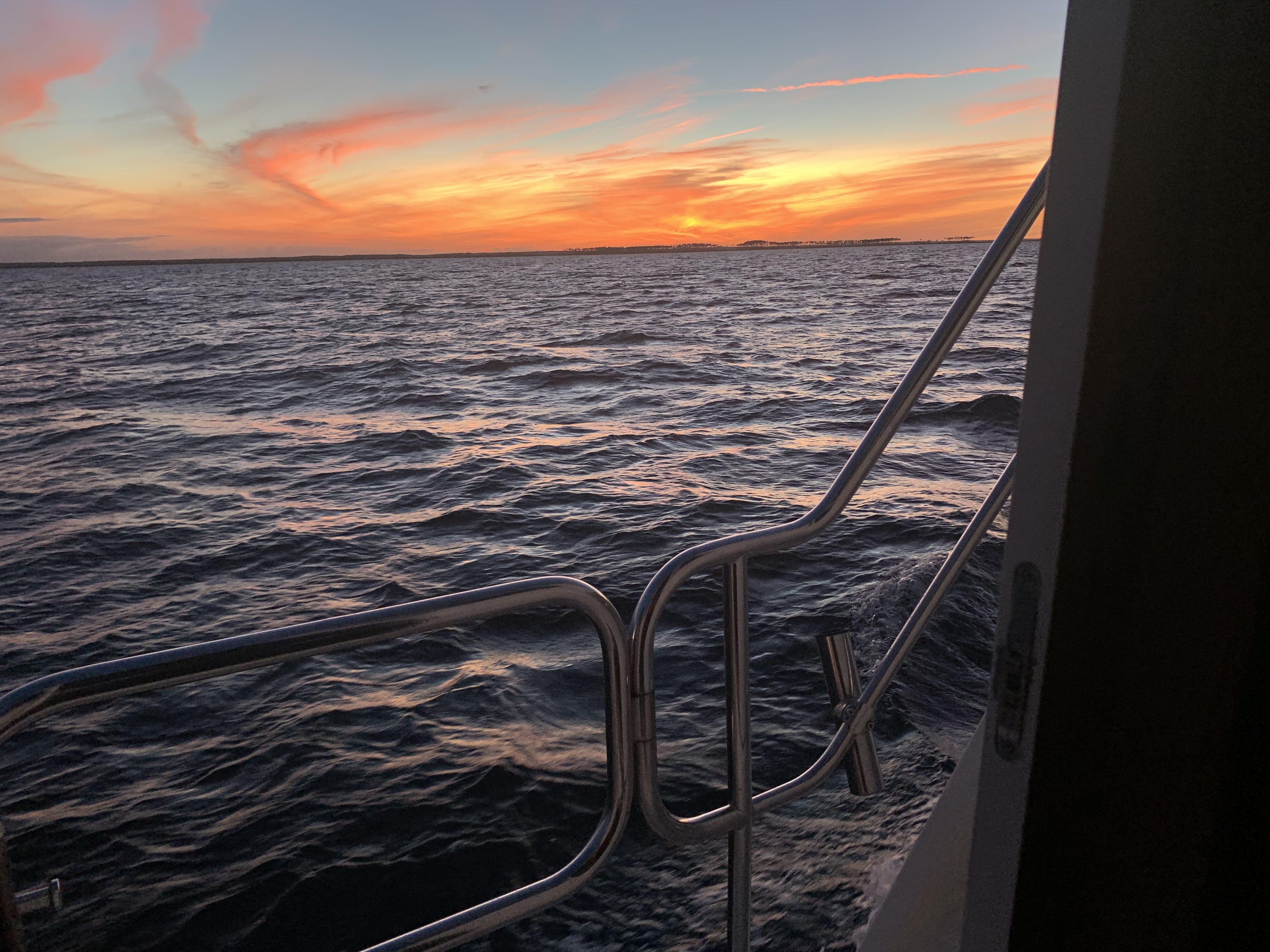
As we make our way back to the channel and the Alligator River Swing Bridge the horizon starts to glow.

The sun is a coming…

Planned Route

The planned route for today is to travel at Simple Life’s efficient 6.5kts which will put us in Gale Creek as the sun sets. If we anchor in Gale Creek, in the morning we will motor out of the creek and into the Bay River => Neuse River => Adam’s Creek => Core Creek = Newport Marshes => Morehead City, NC and then south down Bogue Sound.

Morehead City is right next to Beaufort, NC where I often stop for an IPA in one of the many sailor bars there. Sometimes I opt to go out Beaufort entrance channel and run outside in the Atlantic down to Masonboro Inlet. I like to do this as it cuts out a few ICW areas where shoaling hazard occur. The hazzard areas correlate to where some of the inlets carry silt into the ICW. Inlets such as New River Inlet and New Topsail Inlet for instance.

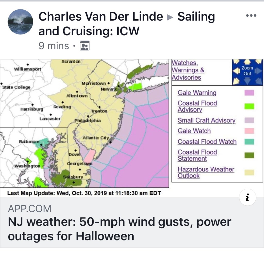
This year Mother Ocean is not going to allow an outside transit as Hurricane Eta is raging in the Florida Keys and even this far north the forecast is for 5+ footers.

Near-shore forecast off Beaufort, NC
Hurricane Eta near the Florida Keys

As we approach the end of the Alligator River we make our way into the aptly named “Alligator River Pungo River Canal”. It’s a man-made cut through the land and I love to set my autopilot and see how long I can go before I have to make a correction.

AR-PR Canal

Parting Ways

While heading down the canal I can see my speed drop from 6.5kts to 6.1kts as we buck a current. It’s at this point that MV Effervescence IV hails me on the VHF asking if we can pick up the pace. I am aware that my pace is too slow for Glen and Debbie. Going this slow they will drop down to running on a single engine with the rudder over to keep her straight. At this point we decide that they will pass me and travel at a speed that is more appropriate for them. We wave and promise to find each other at some point further south.

Debbie snapped a photo and text’d it to me as she passed.
Picture thanks to Debbie Purcell

Dead Zone

The cell phone coverage is terrible in the canal. However, as expected, when you get close to either of the two bridges that cross you will get a signal while passing under.

Brief cell data connection

When you are at the helm and starring down at your phone, don’t forget to look up and spot these deadheads. Not the kind smoking weed at a Grateful Dead concert but the tree stump kind that just barely stick up out of the water.

Deadhead

The weather is amazing as I cruise along with both pilothouse doors open and Tyler Childers blaring out into the nothing that surrounds the canal.

A far cry from the snowy boat deck back in Warwick 8 days ago.

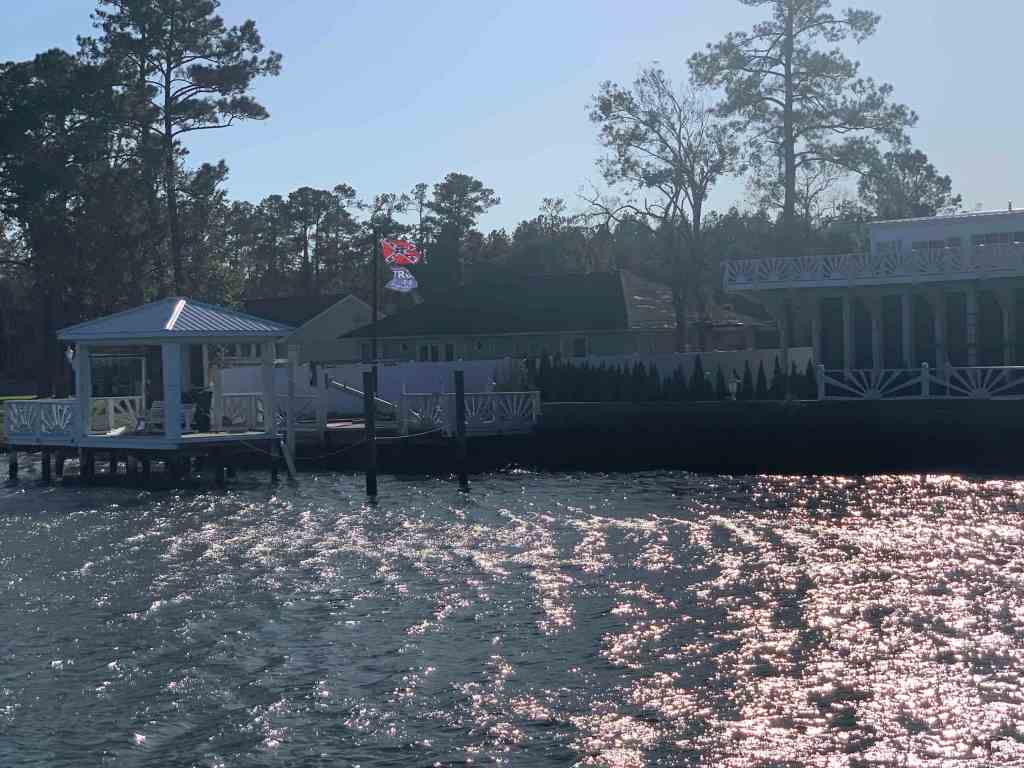
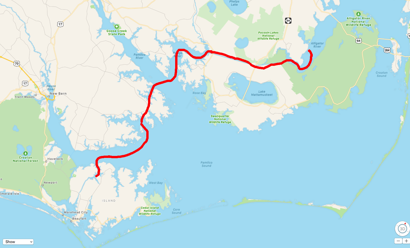
I find myself scratching my head as I pass this dock.

Hey Mr Builder, can you add a little more pitch to this corner of the roof?

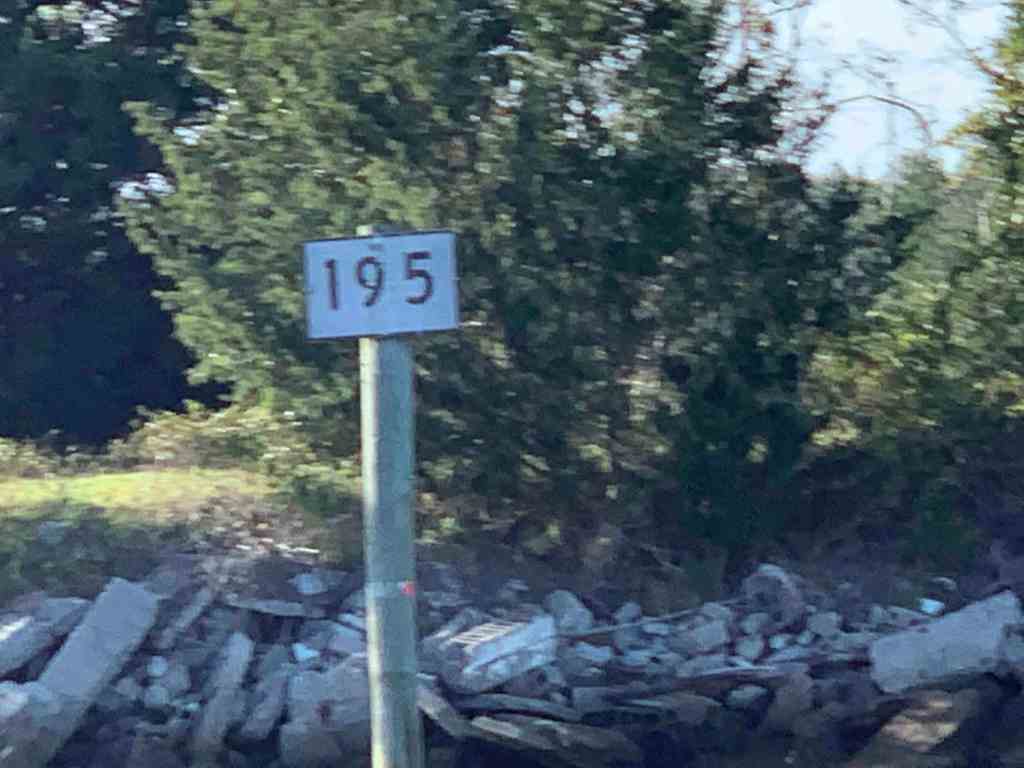
A few days back was my post entitled ICW MM 0 and now I am passing a new ICW distance marker.

ICW Statute Mile 125

Easy Peasy Lemon Squeezy

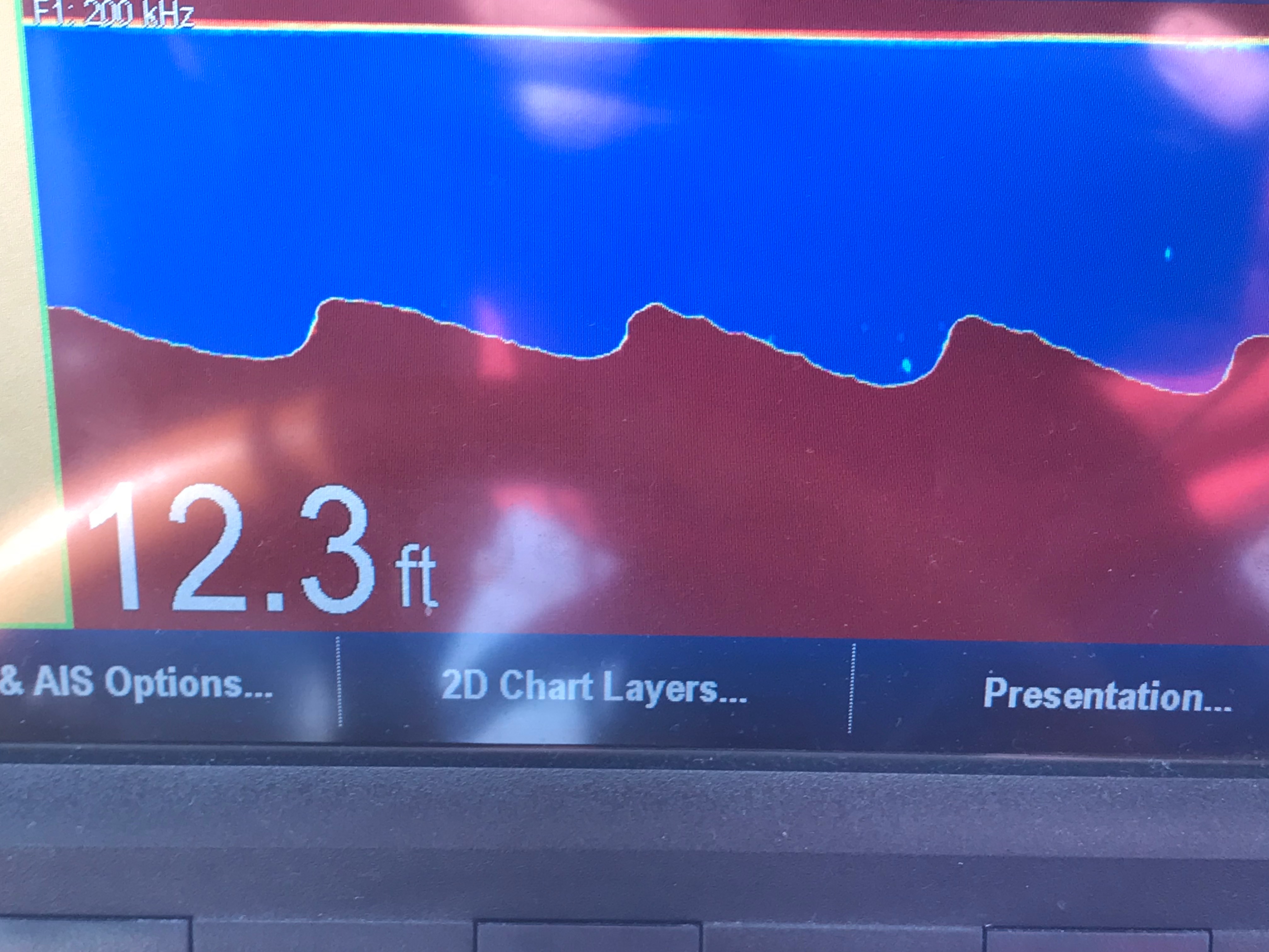
Taking a boat south for the winter in the ICW is easy once you figure out the new methods of how to navigate the constantly changing ICW path. Just as I type and state how easy it is… I look up from my MacBook and see a depth of only 6.4′! Yikes, I was not paying attention while on autopilot and had slowly motored outside the narrow channel. A quick pull back of the throttle and course correction of 60 degree to port and I’m back safely in the channel.

I believe most groundings on the ICW happen as a result of lack of focus, distraction and not purposeful bad decisions. When you are navigating solo at a snails pace for 10-16 hours, day after day with little sleep, it’s easy to lose focus and run aground. When I read a Facebook Boating Group post about a captain running aground, I think… that could easily be me. I promised long ago never to snicker when hearing others throw shade at a captain who ran aground. There is a saying… “if you ain’t been aground, you ain’t been around”. Truth!

Aground on the ICW

The challenge to doing the ICW is… It’s a marathon not a sprint! Four years ago when I retired and set out running the ICW each Fall & Spring I could not wait to leave the bitter cold NE for warm and sunny Florida or the Bahamas. You spend sun up to sun down with your ass in the captains chair. Your desire to get there, has you pushing the throttle down. When you try to slow down you feel like …”I’m never going to get there!”. The trick is to relax and enjoy the ride. It took about two years for me to relax and just put-put along. When I’m foolish enough to give myself a schedule, I have learnt the proper way to “rush” is… not to go faster but… run longer into the day or night.

Finding Happiness

It takes time to slow down. I’m not laid-back but easy-going. Laid back people just don’t care about anything. I’m easy-going which is simply a way of saying rarely does anything bother me and when it does I usually say something like F-it and just go back to finding happiness some other way.

MBTI Perceiving or Judging?

Retirement gave me pause. Time to focus on understanding myself and what makes me happy. When you are so busy doing all the things that you “must do” you never know what you really “want to do”. Part of gaining a better understanding into who I am is studying personality profiling methods such as the MBTI (Myers-Briggs Type Indicator). I am a strongly-typed ENFP. Want to know what you are? Here is a free 100 question MBTI test that will tell you.

16 Personality Types – What type are you?

I always believed that everyone was obsessed like me with understanding the world around them and the meaning of life. I realize now that many spend their lives avoiding such questions as they just don’t have time or desire to seek such answers. I believe the answer is personal and everyone sees it different. Understanding the world around you and what’s inside of you will bring you happiness. For me … the meaning of life = pursuit of happiness. Knowing this helps me focus on living my best life. A simple Life. If you care to read about my Simple Life Philosophy, here is a link to it.

Simple Life

Once you begin to understand yourself and what you want out of life you can build yourself a mantra to act as a compass. This mantra is a quick way to remember how to make the many decisions you make each day.

Simple Life’s Mantra

  1. Free Will Trumps Destiny – Nothing happens for a reason. You cannot direct the winds but you can adjust your sails.
  2. Seek Truth – Understand the world and those around you. Tell the truth and seek those to offer you their true feelings. If you don’t know the truth, you can’t make a good decision.
  3. Stay Away From Stupid People – People who are acting stupid just don’t get it. They will cause you harm by simply being near them. Surround yourself with good people and they will bring happiness to your life.

Well anyway, back to my story about yesterday’s journey….

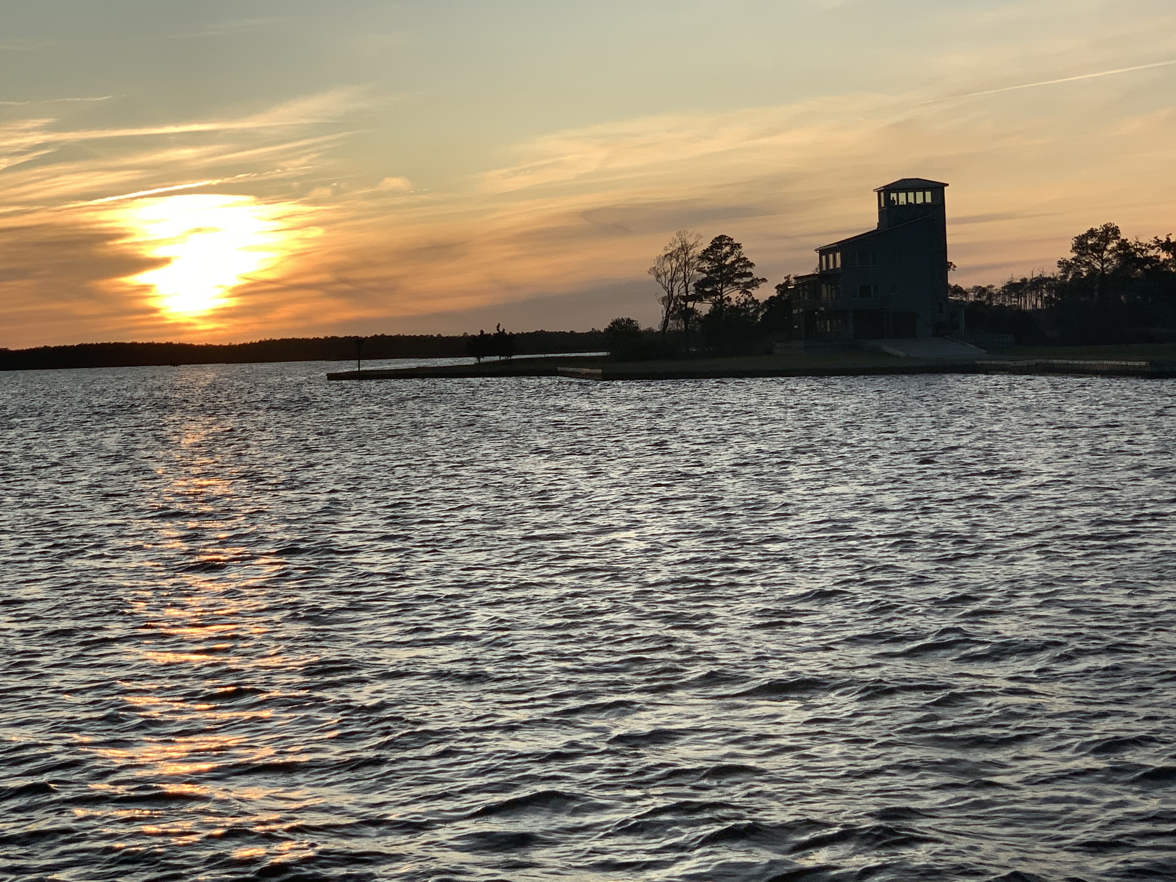
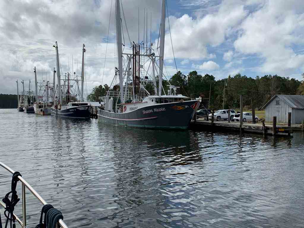
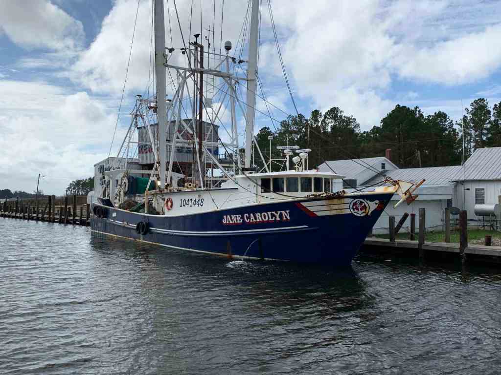
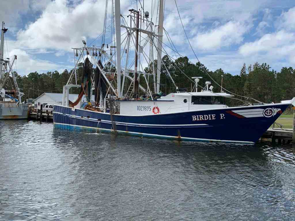
It’s getting late in the day. The sun is sinking low as I pass the RE Mayo Seafood company. I love seeing the large shrimp boats tied to their docks.

RE Mayo Seafood

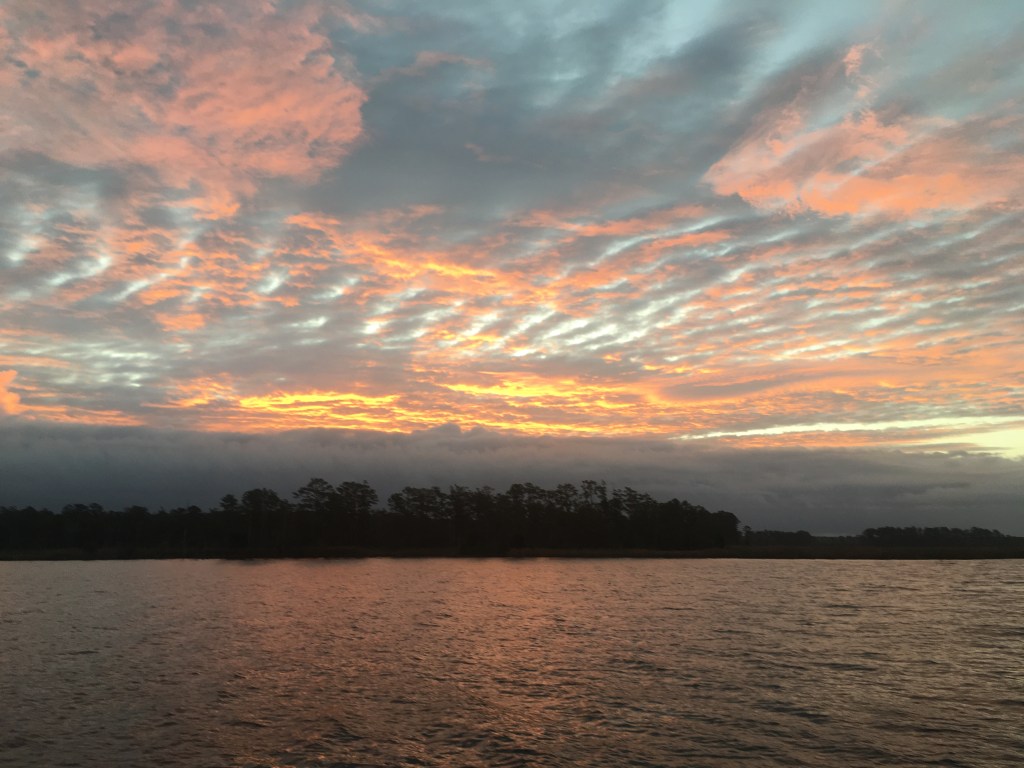
As I make my way out into the Bay River the skyline is colorful.

Neuse River

I have decided to travel into the night to cover more ground. The moon will not rise in time so my trip down the Neuse River will be dark.

Neuse River at Night

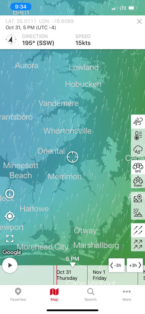
I had to adjust my course a bit to avoid a beam sea as the winds blowing over Pamlico Sound have had a long fetch to build. Soon I am using my remote spotlight to spot pilings as I enter Adam’s Creek.

Red Daymarker Piling glowing in the dark when spotted.

I pull into tonights anchorage and it’s real shallow.

Danger Will Robinson!

Dead Low

I check the nearest tide station at the Core Creek Bridge to see if it will drop any lower leaving me aground?

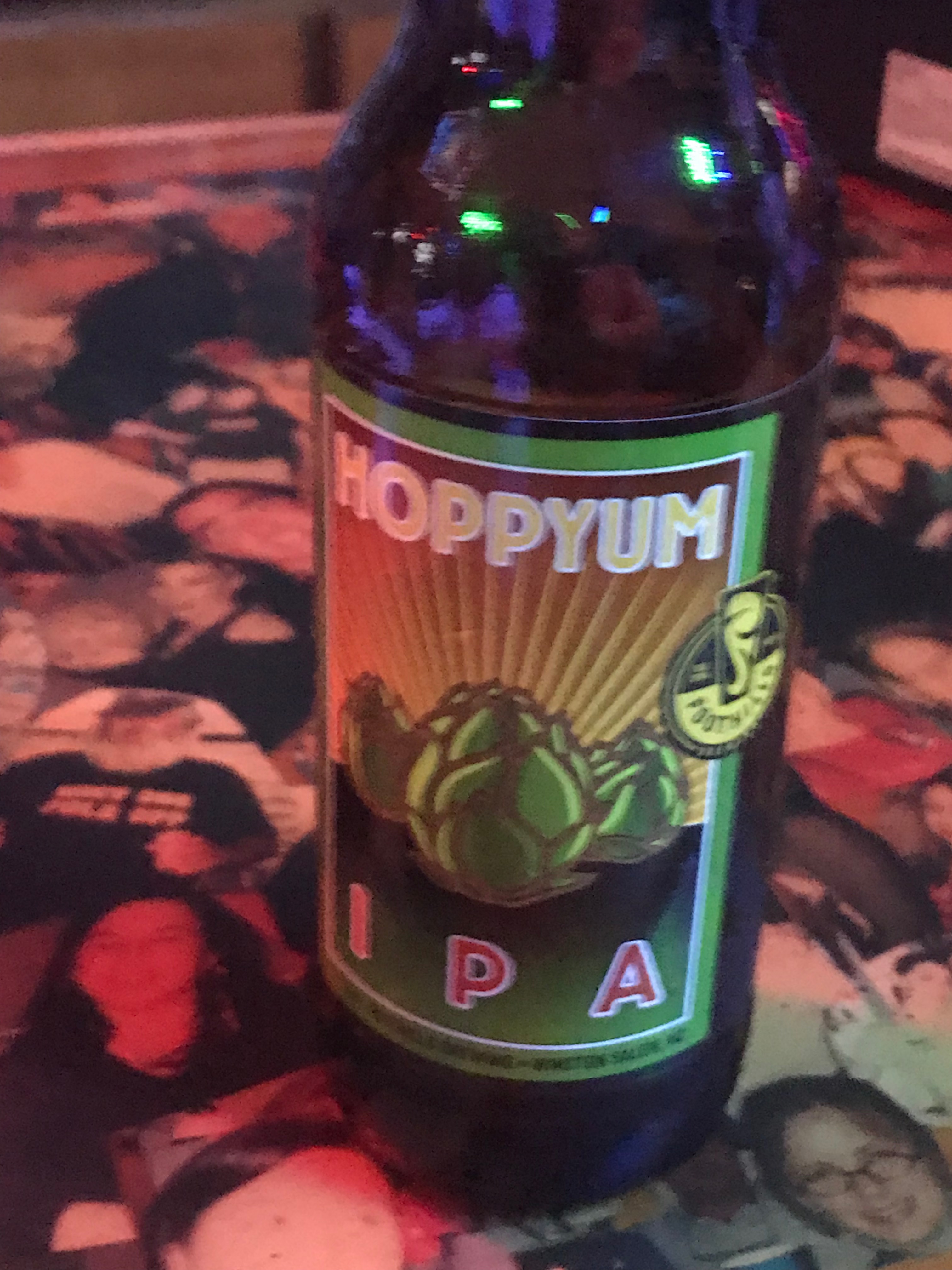
I have arrived at dead low tide. Great news! Now anchored it’s time to enjoy a cold IPA and relax for the night.

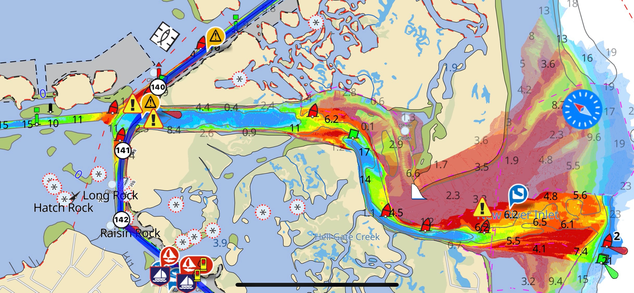
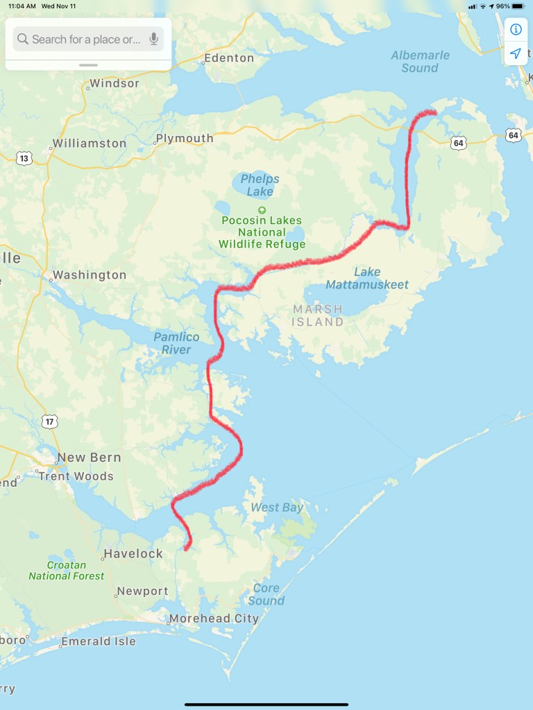
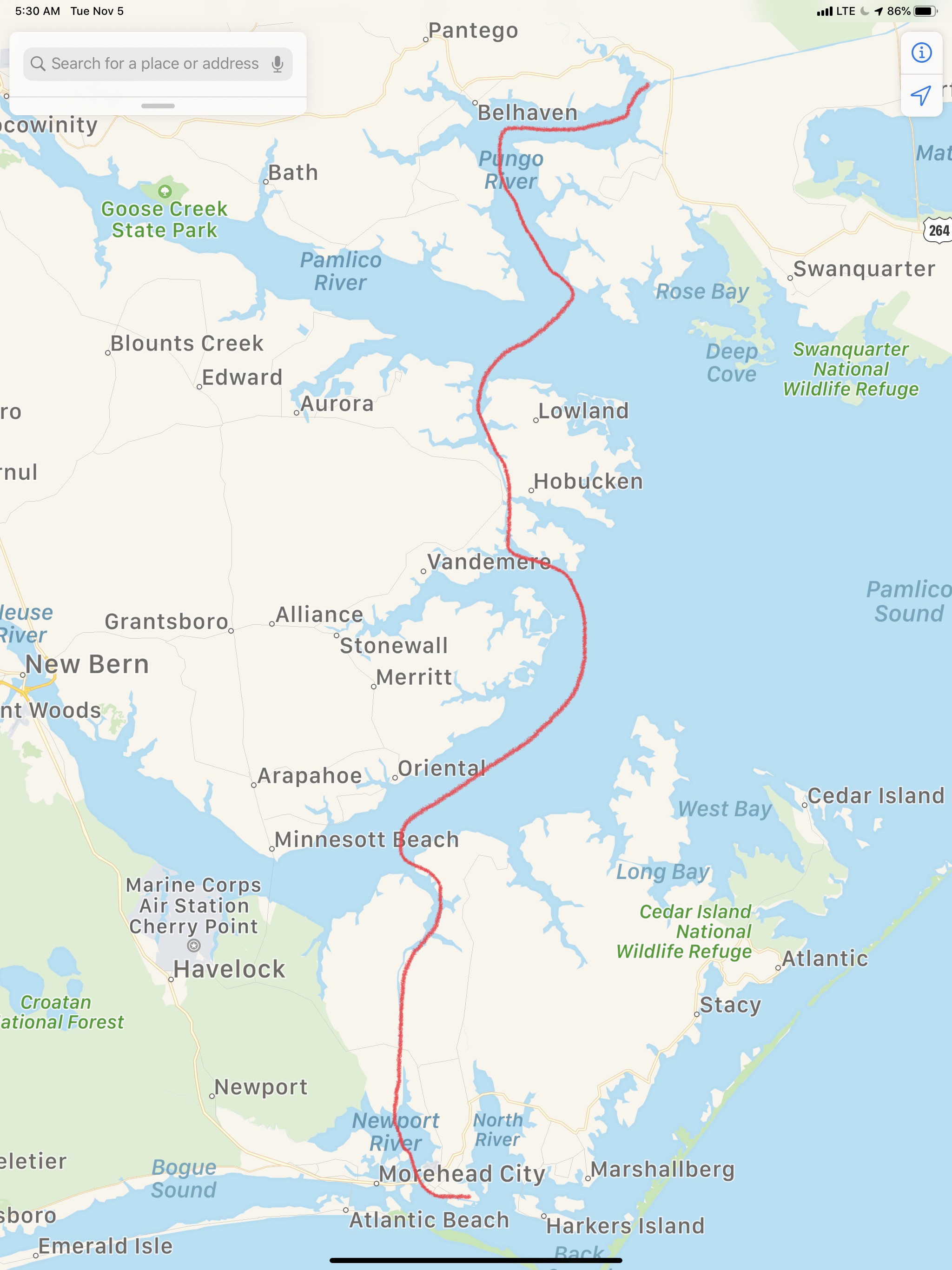
Today’s 98NM route looked something like this…

Beaufort NC

The sound of the anchor weighing lets you know that a new leg of the journey has begun.

First Light
Looking Back

The forecast for today included a fresh breeze. We understood that meant we’d be salting up the boat with the spray kicked up from the wind.

Pamlico River Wind Speed & Direction
Neuse River Wind Speed & Direction
Underway in the Neuse River

The trip to Beaufort, NC looked something close to this.

Alligator River Pungo River – Beaufort, NC

Buddy & Renee placed the anniheim, poblano & jalapeño peppers & onions in the stove for today’s green chile soup.

Green Chile Soup

Soon we were passing the USCG station in Hobucken, NC.

USCG station in Hobucken, NC

Just next door is the R.E. Mayo Seafood company with its fleet of commercial boats.

We entered Adam’s Creek and found a beautiful Kadey Krogen being pulled off a shoal by a tow boat. It’ looked like an ant pulling a boulder on a string.

Tow Boat US

Once in Adam’s Creek we passed another ICW statute mile marker as well as beautiful homes and yachts.

At this point I happened to see a Facebook group post about 50MPH gusts off the Jersey Coast. This made me smile thinking we made the right decision not to stop in NYC and get trapped by weather.

As we came into Beaufort, NC the wind was gusting and the current was flowing fast past the docks. Docking was challenging but we managed to back her into the slip with some assistance from the dock-hands.

MV Simple Life Slipped at Beaufort Docks

This pilothouse sailboat caught my eye and the yacht hailed from East Greenwich, RI. E. Greenwich is around the corner from where I spend my summers. Beaufort Docks Marina seems to always be chock full of northern boats.

Once in the slip it was time to check in and request use the sporty loaner car for provisioning.

Now provisioned it was time to walk to Moonrakers for some Halloween dinner & drinks.

I snapped a few quick pictures on our walk back to Simple Life.

Tomorrow, it’s on to SJP – St. James Plantation.

Alligator River NC

We awoke at sunrise and just before pulling anchor, I snapped a few photos of just how still this anchorage was in Adam’s Creek.

Today’s ICW route through Pamlico Sound would end just short of crossing Albemarle Sound. Our route looked something like this.

ICW NC Route
ICW Route Through Pamlico Sound and almost into Albemarle Sound

On our way out of Adam’s Creek, I hailed a loaded tug and barge to let them know we would deviate from the channel and not impede their passage. The strong current was at their back forcing them to keep their speed up. As a tug captain it’s better to be driving the barge rather than being driven by the current. It’s always better to push a barge into a current than be pushed by it. At least that is how I understand it.

Tug Barge
Tug & Loaded Barge in Adam’s Creek Channel

We no sooner exited Adam’s Creek into the Neuse River and passed this beautiful schooner with the captain at the helm and sails set.

Schooner
Capt was still in the process of raising his staysail

Once it Pamlico Sound you realize it is a pretty large sound. Wikipedia defines a sound as, “…In geography, a sound is a large sea or ocean inlet larger than a bay, deeper than a bight, and wider than a fjord; or a narrow sea or ocean channel between two bodies of land (see also strait)…”. These geography terms can be confusing.

Pamlico Sound.JPG
Pamlico Sound

As we motored on, a USCG boat hailed us over VHF channel 16 and let us know to stay to port as we passed. They had a line around and were pulling what remained of a green daymark piling using their boat. Our best guess is that a boat hit the piling in the night and snapped it off.  We figured they were dislodging it so that it would not float away and become a hazard to navigation?

USCG Pulling Daymark
USCG with a line off their bow to a green daymark that was broken off.

We passed a several duck blinds confirming that North Carolina is duck hunting country.

Duck Blind
Duck Blind – Do they really fall for this?

As we motored on we were reminded that we are getting closer to ICW mile marker 0 in Norfolk, VA.

The predicted forecast for Albemarle Sound had the wind out of the West at only 10-15 kts.

Forecast
Albemarle Sound forecast 10-15 out of the West

We chose an anchorage with a small fetch to the West but far enough off the shore that we could open the hatches and get a good breeze while we slept.

Alligator River Anchorage

As I was setting the anchor on the bow I looked up and snapped this photo of the setting sun.

Sunset Framed.JPG
Sunset in Alligator River, NC

Supermoon Where Are You?

Yesterday morning we awoke before sunrise and got underway to Beaufort, NC.

The first & last supermoon of 2017 was helping slice through the dark as we pushed away from the dock.

Supermoon 2017
Supermoon Reflecting the Sun’s Rays


Supermoon infographic
Supermooninfographic

Supermoons happen when a full moon approximately coincides with the moon’s perigee, or a point in its orbit at which it is closest to Earth. This makes the moon appear up to 14 percent larger and 30 percent brighter than usual.

December’s supermoon is actually the first of three back-to-back supermoon full moons to come in the next two months. On Jan. 1 and Jan. 31, the full moon will also occur near the moon’s arrival at perigee, according to NASA, which billed the line up as a supermoon trilogy. The Jan. 31 supermoon is also the second full moon of January, making it a Blue Moon, and also occurs during a total lunar eclipse.


As the sun got ready to sneak over the horizon there was a beautiful orange-pink hue reflecting off the water.

Before Sunrise
Before Sunrise

Today’s leg of our journey takes us from Hobucken, NC to Beaufort, NC

The Beaufort of coastal North Carolina is “BOH-fert”. The Beaufort of South Carolina is pronounced “BYOO-fert”. Established in 1709, Beaufort is the third-oldest town in North Carolina.

Leg Beaufort
Beaufort Leg of Journey

As we made our way out of Goose Creek and into Pamlico Sound, the only traffic we passed was a tug pushing a barge.

Tug and Barge
YATPB – Yet Another Tug Pushing Barge

The dominant wave set was coming from the NE and that meant we had a following sea as we turned and made our way down the Neuse River. A following sea that is slightly to one side of the stern can be annoying when you are at the helm. The waves catch up to the boat from behind and lift the stern pushing it to port or starboard. This can swing the bow as much as 30 degrees at times and it starts to feel like you are pointing the boat all over the place. I made a quick adjustment to increase the autopilot’s response rate and the bow heading deflection lessened considerably. Being a slow boat (6-9 knots) you are often at the helm from sun-up to sundown to make your destination. Autopilot is an electronic device with some firmware loaded on it that drives a hydraulic pump which turns the rudder. There are many settings that you can control but the response rate is the one you will want to adjust so that the rudder position changes are swift or slow enough for how you want the boat to point.

As weekend boaters, we were boating in destinations like Block Island, Nantucket or Provincetown. These locations are anywhere between 6-12 hours from our home port in Warwick, RI. We would be forced to run the boat at 8.5 knots and only get about 1 MPG. Now that we are full-time boaters, we slow the boat to about 6 knots and get 4 MPG. You can go 4X farther if you simply reduce your speed by 2.5 knots. (Recall 1 knot = 1.15 MPH so approximately every 6 knots you would simply add 1 to get the speed in MPH).

Even knowing this, we made the decision to up the speed to 8.5 knots and reduce the amount of time spent in the following sea.

Happy and Chief Martin Brody appreciated that we burned a a bit more fuel for their comfort.

Brody and Happy
Chief Martin Brody and his Big Sister Happy

Wake
Wake in the Neuse River

As we turned into Adam’s Creek the ride smoothed out and we dropped back down to 6 knots. The current in Adam’s Creek was swift and the DSM (Depth Sounder Module aka. Fish Finder) was showing asymmetric rippling of the creek bottom. I believe this is caused by a swift bottom current.

Adams Creek Rippled Bottom
Asymmetric Rippled Bottom of Adams Creek

The fish finder was also well, finding fish. The DSM uses sonar or high frequency sound generated by a device that protrudes through the hull and is sending a column of sound waves straight down beneath the boat. These sound waves not only reflect off the bottom but when they hit a fish the sound resonates in the fish’s swim bladder (a small air-filled sack that helps control a fish’s buoyancy) and this echo is detected and colored sharply to allow you to spot fish on the screen.

DSM Fish
Look Swim Bladders

Adam’s Creek is a lovely place with lots of sights to see.

Youtube Video of Bald Eagle in Adams Creek

Adams Creek spills out into the Newport River and it’s marshes and shallows are something that you will want to avoid.

Newport River
Newport Marshes as you Head South to Beaufort

Shallow Birds Standing.JPG
Kelly & I Often Joke… “If You Want to Know Where it’s Shallow; it’s Where the Birds are Standing”

As we pulled into our slip in Beaufort we hailed the dockmaster who warned us about the swift current running transverse to the slip we were assigned. As we pulled in to the fairway the current slammed into our full keel and began to push the boat toward the bows of the boats across the fairway. I was forced to back out quickly and reposition so that I could now take the swift current into account and position the boat for rapid spin and quick back into our slip. Kelly was quick to toss lines to the dockhands and soon we were checked in and given the keys to a “courtesy car”. Up North, I’ve never stayed at a marina that offers a fee courtesy car to marina guests. The car was a welcome treat and we put it to good use re-provisioning the boat with more food & beer.

Courtesy Car Kelly
Courtesy Car – We Got Wheels!

With all our chores completed we quickly made off to the marina bar for happy hour and spent time chatting with Bartender Kristen and fellow bar patron, Dan. Dan was an amazing fellow who told us stories of his solo sailing around the world in a small boat. He offered us some local knowledge about wild horses that roam the islands around here. I KNOW more wild horses to find!

Kelly and Dan
Kelly & Sailor Dan

After I consumed as many 50 cent pork sandwiches as a man can eat and washed them down with a great local IPA it was time to retire to the boat.

Hoppyum IPA.JPG
Great Local IPA From Foothills Brewery

We were no sooner readying for bed when we were accosted by “Monkey Bird”. This vile creature had a penetrating stare and an awful cry. I spent sometime staring into this monster’s gaze and knew it was time to lock the door and keep the crew of Simple Life safe.

So it’s off to bed.

Monkey Bird Standing.png
Monkey Bird Prowling the Docks