
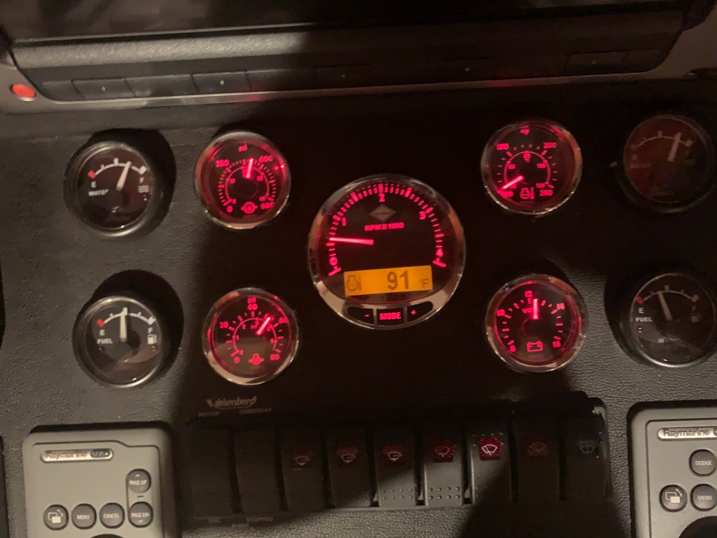
It is 4:50AM in Topsail, NC. The engine coolant temp was showing 91 degrees. Still warm from running the night before.
Topsail Creeping…
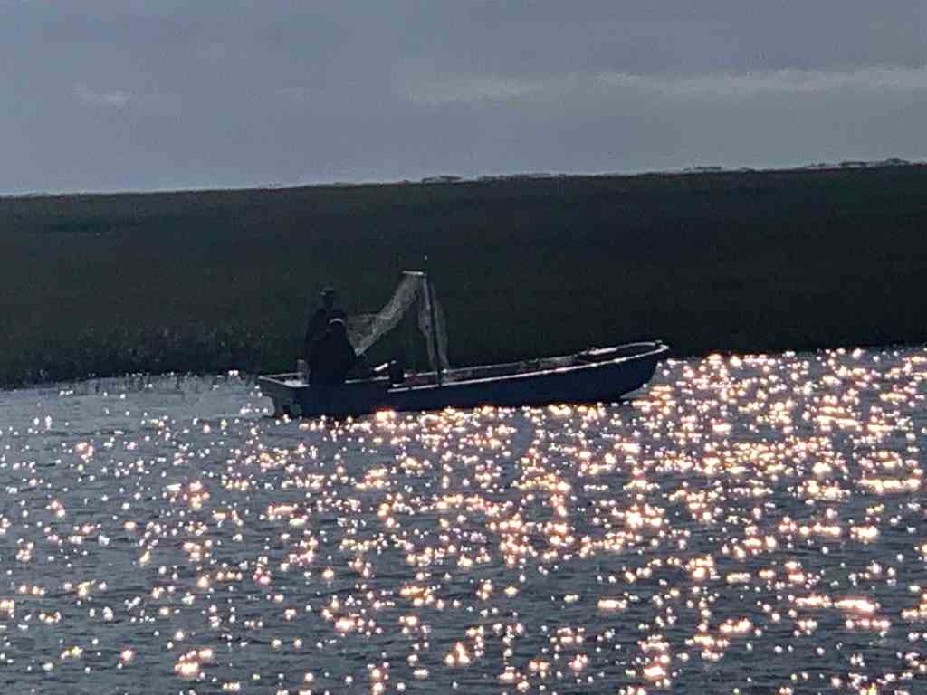
I crept past MV Doghouse around 6:30AM.
Sloop Creek
I made my way back out of Sloop Creek making sure the boat’s path stayed in deep water.

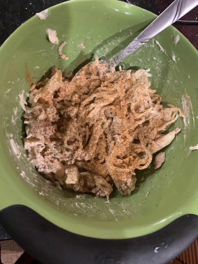
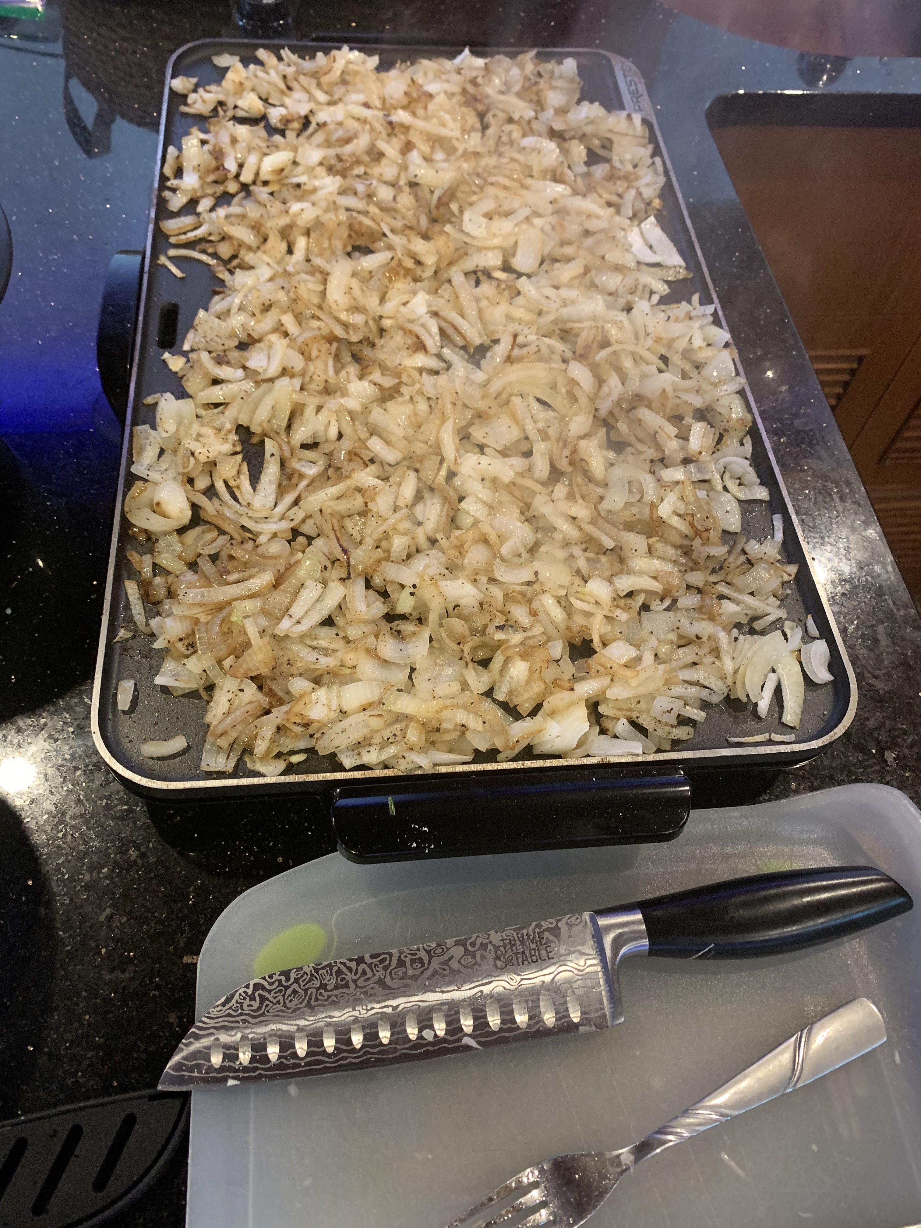
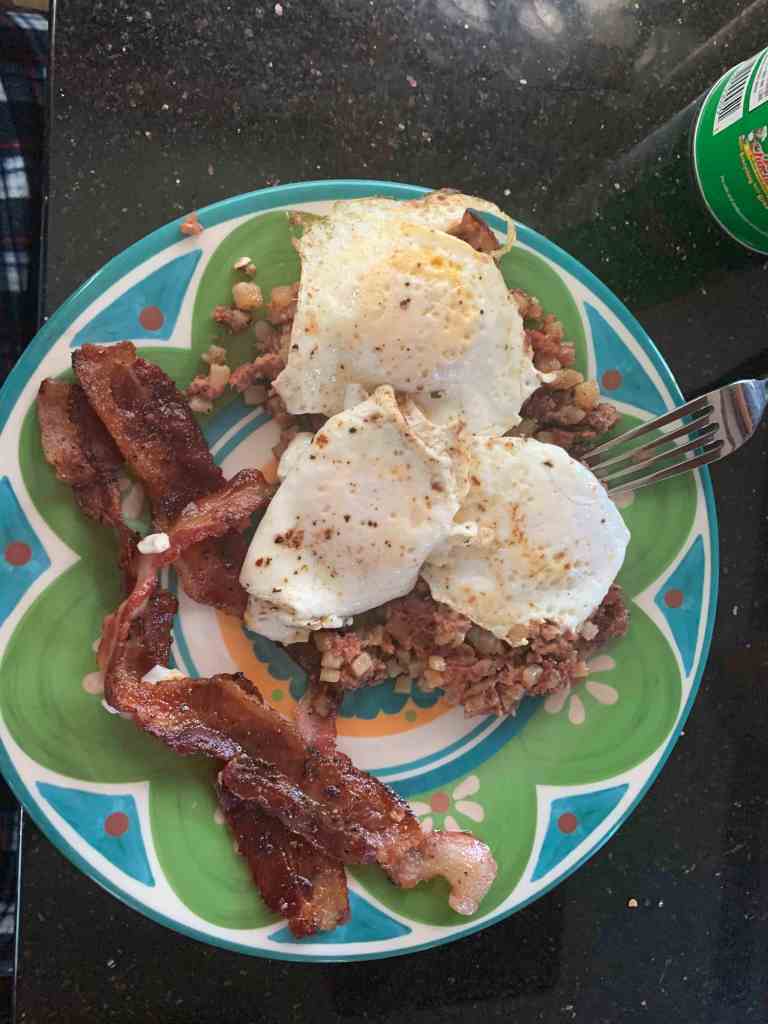
Crimes Against Food
What I do to food is a crime in most states.
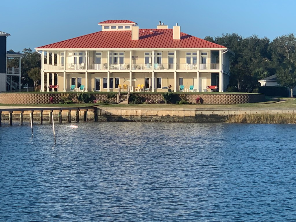
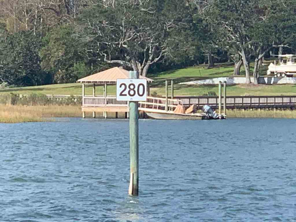
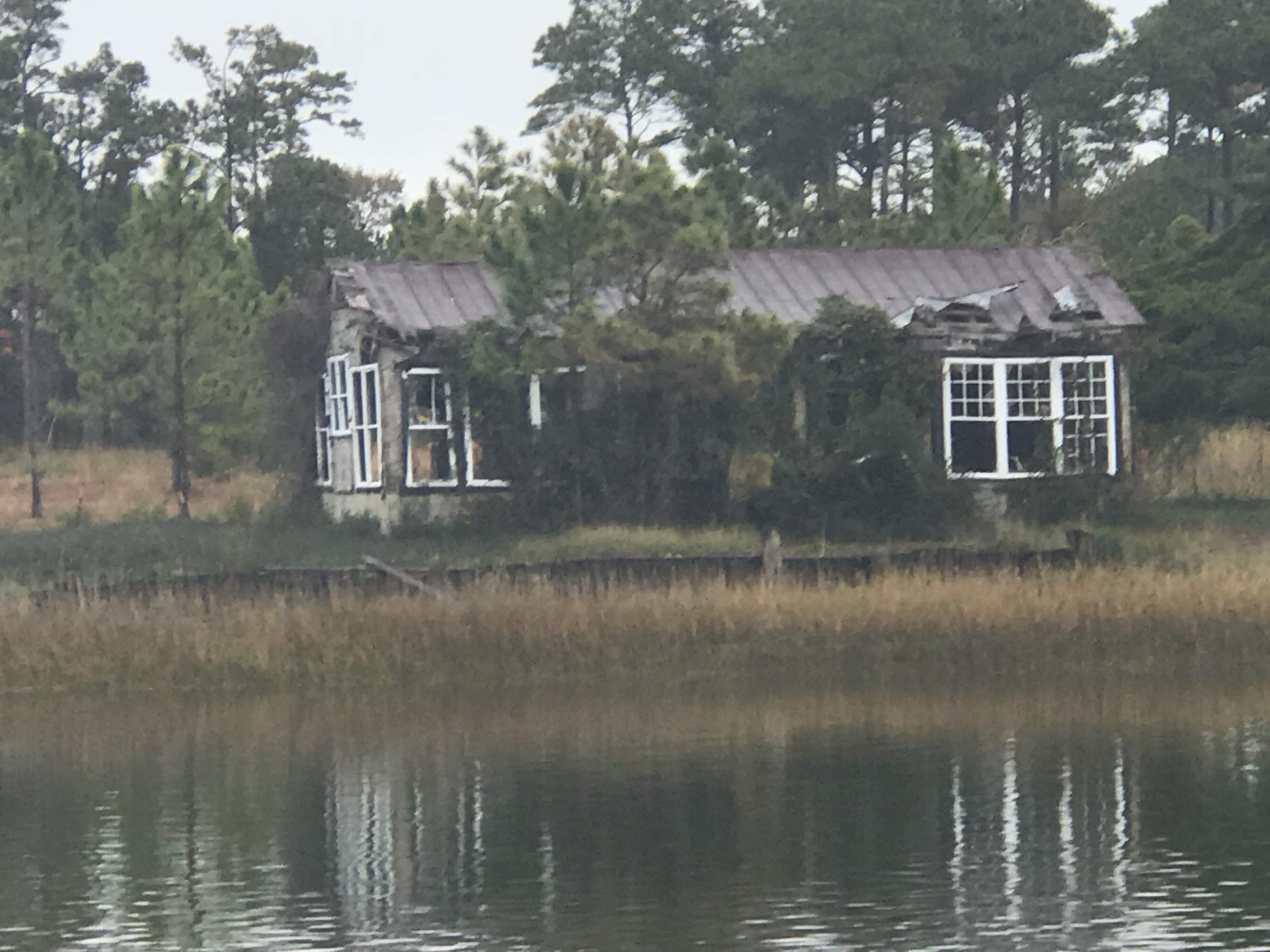
Somebody has a beautiful home along the ICW.
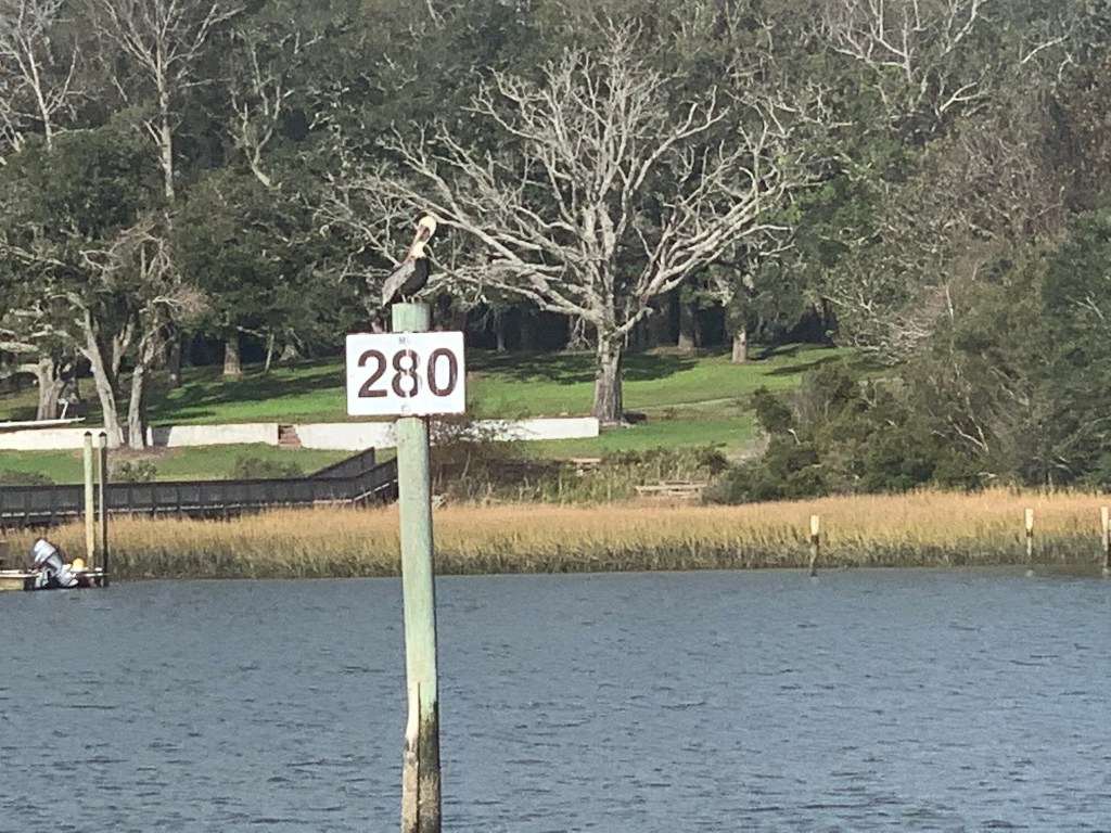
I’m now passing ICW statue mile marker 280.
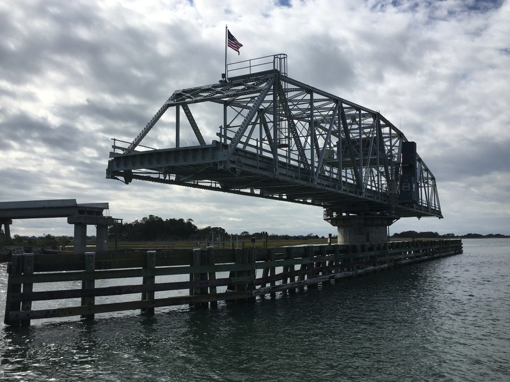
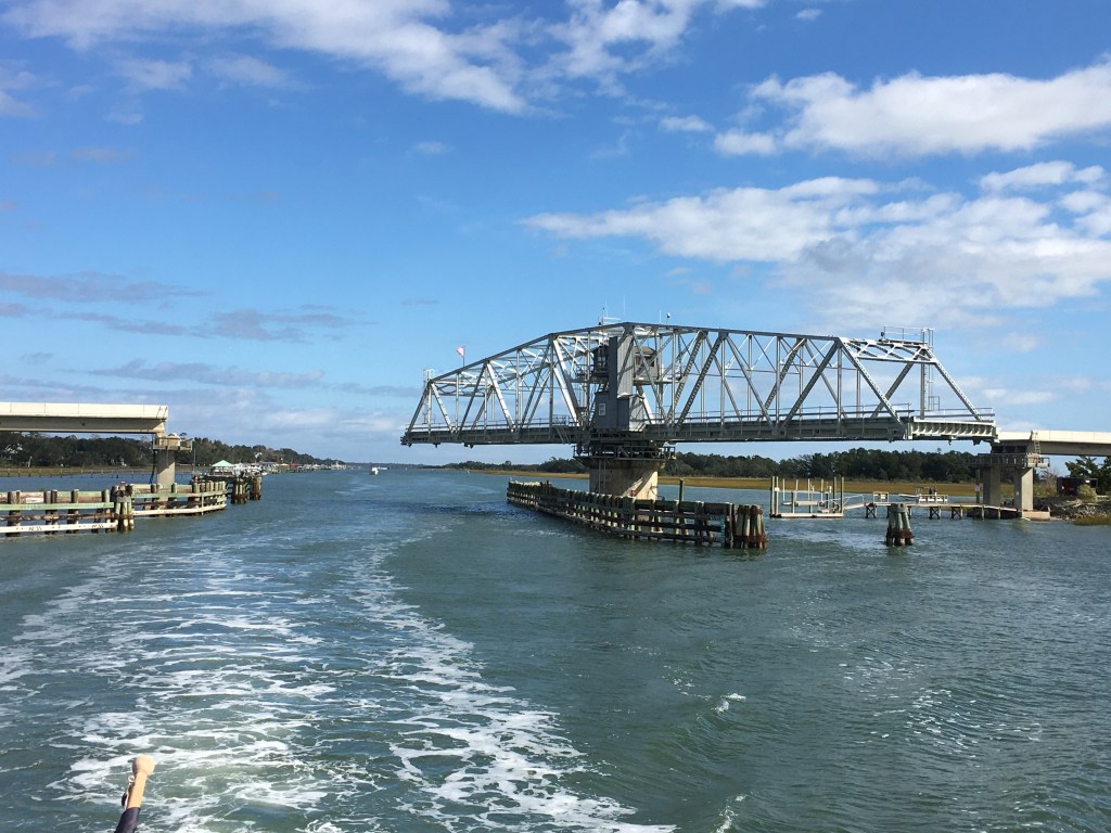
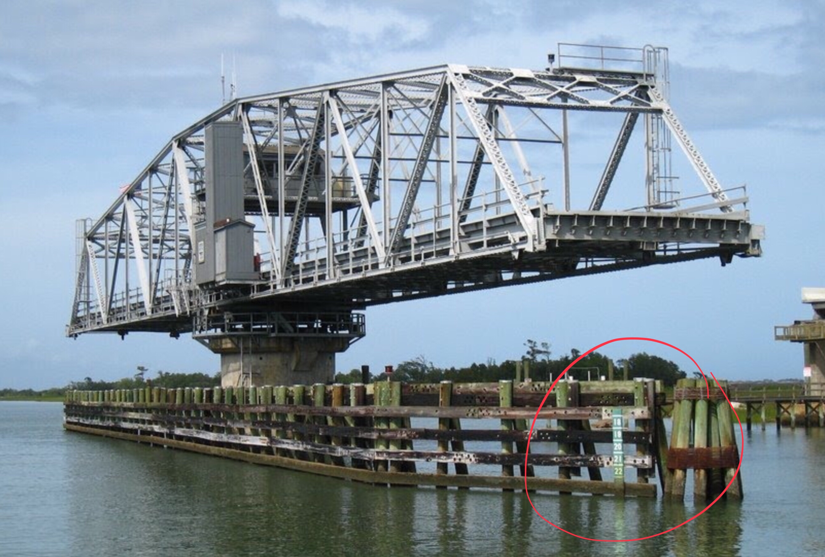
Wrightsville Beach Bridge
I am waiting for the opening of the Wrightsville Beach bascule bridge at the top of the 9th hour.
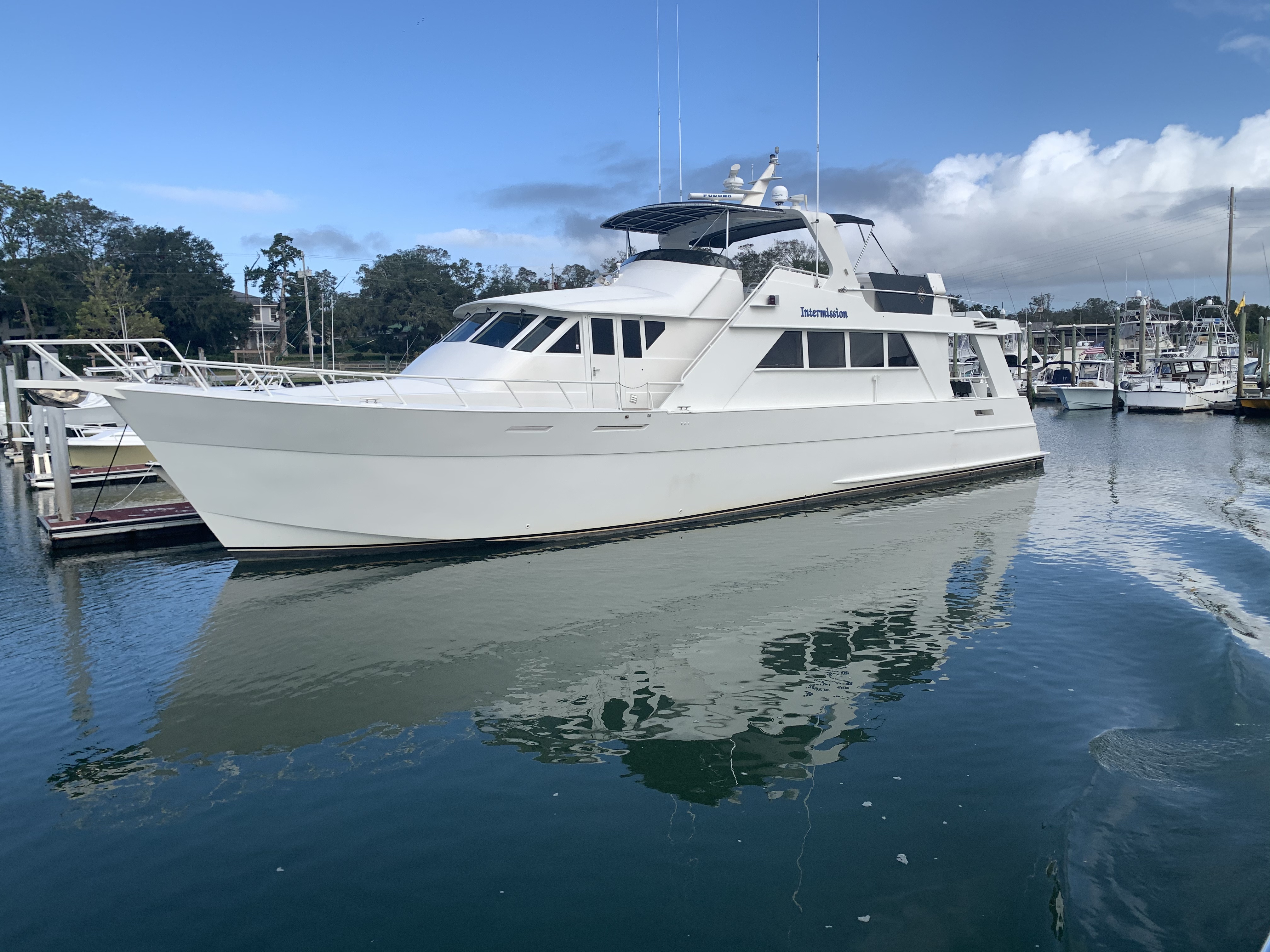
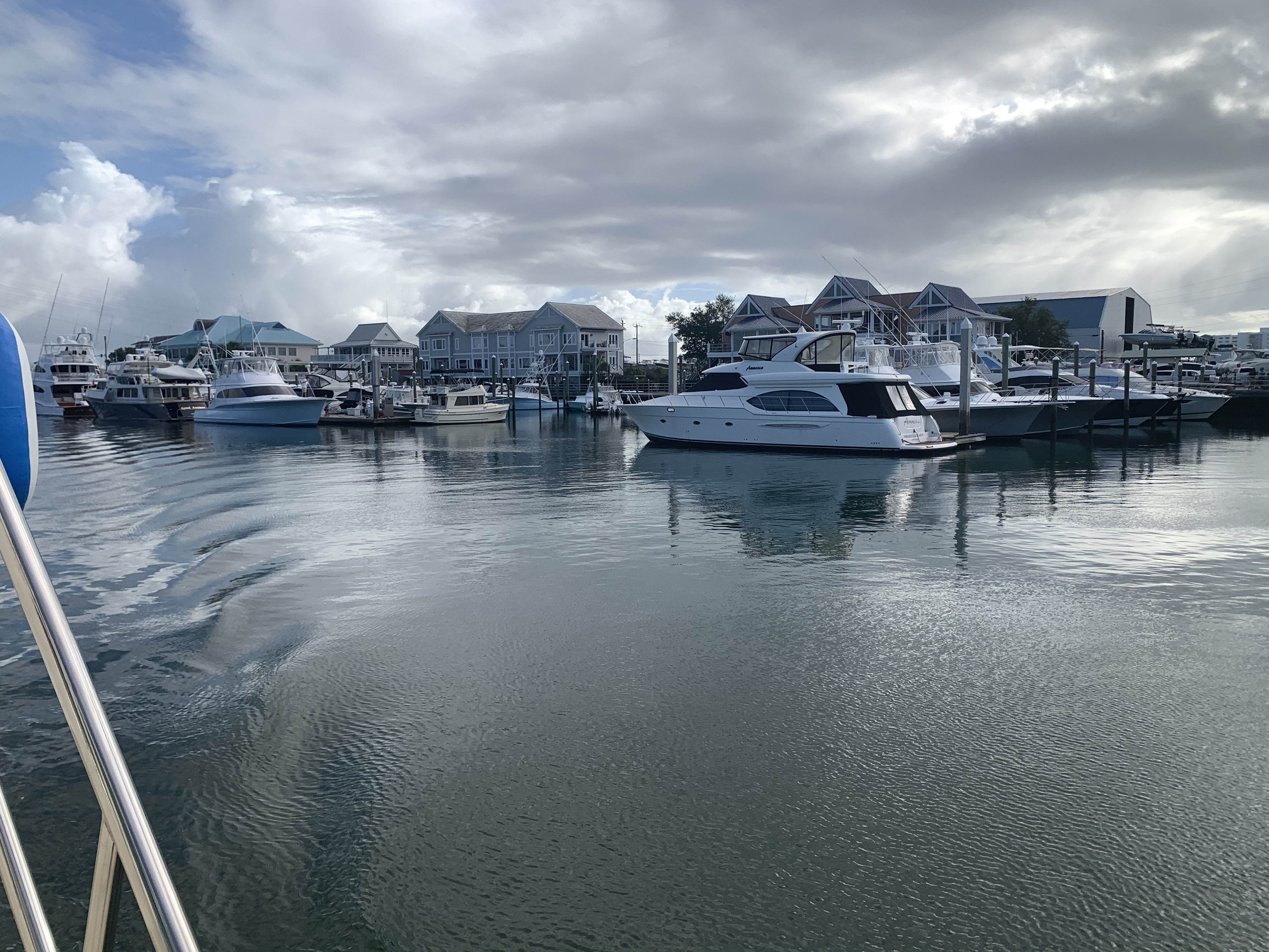
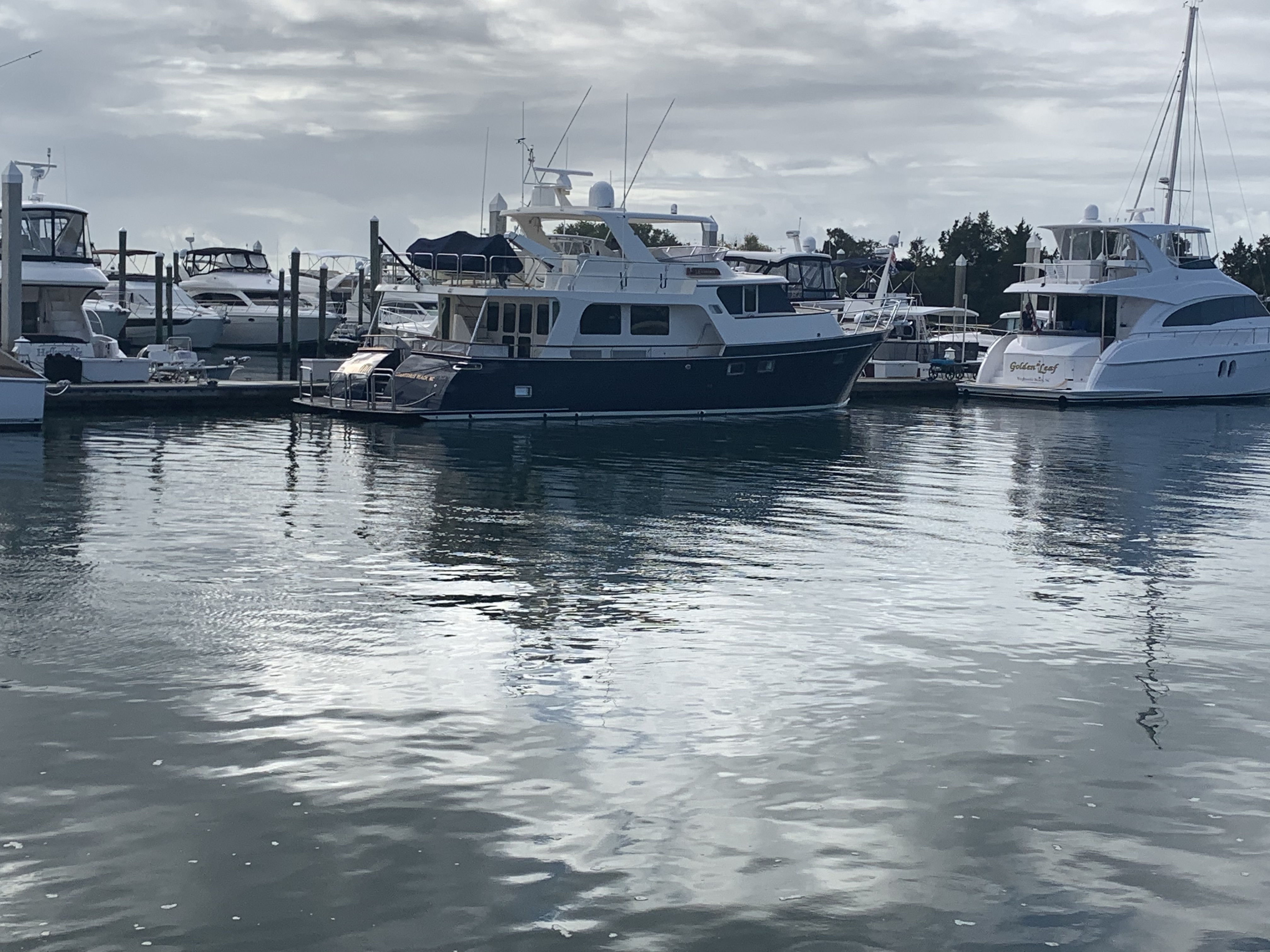
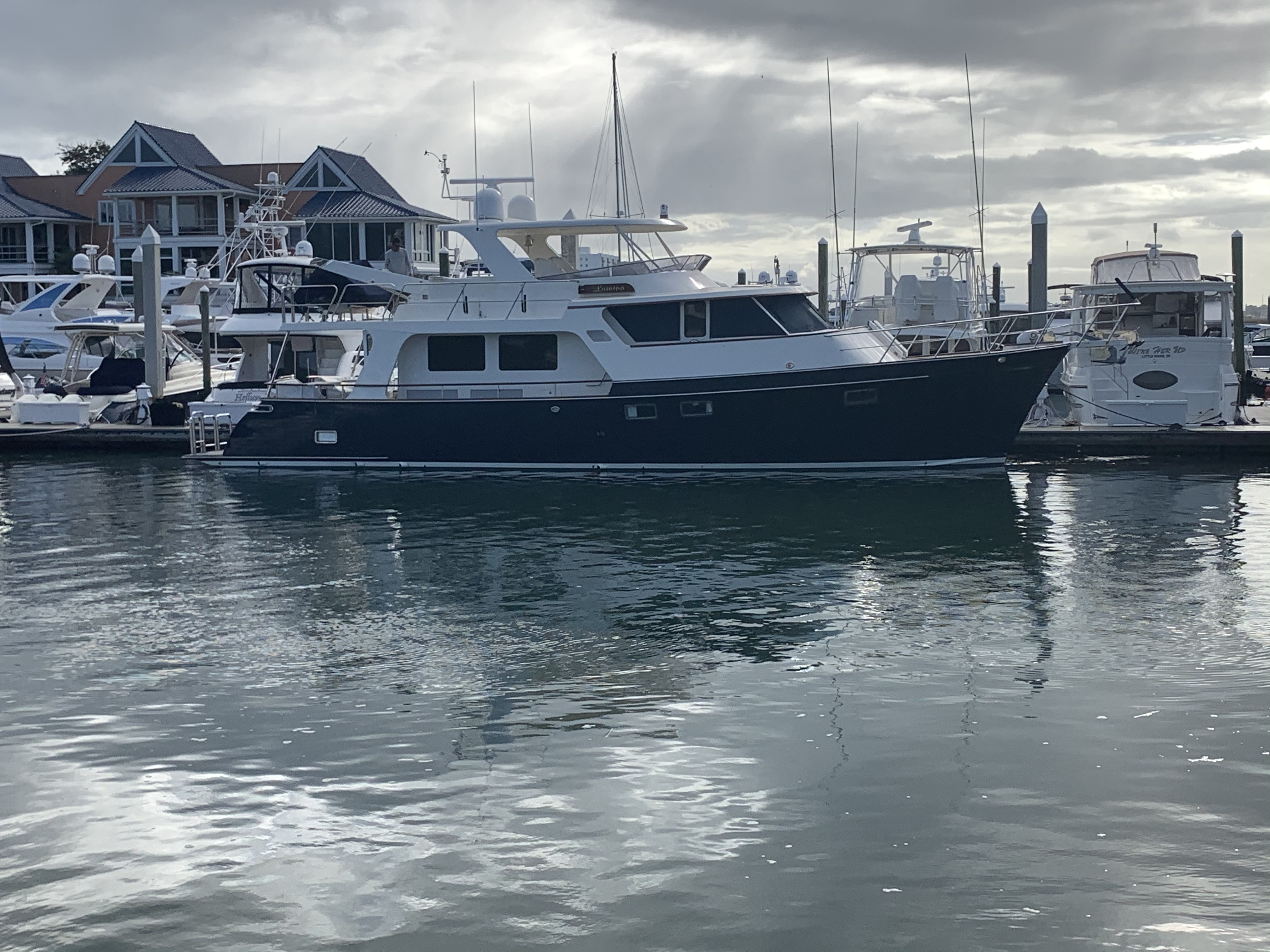
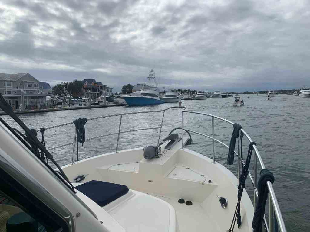
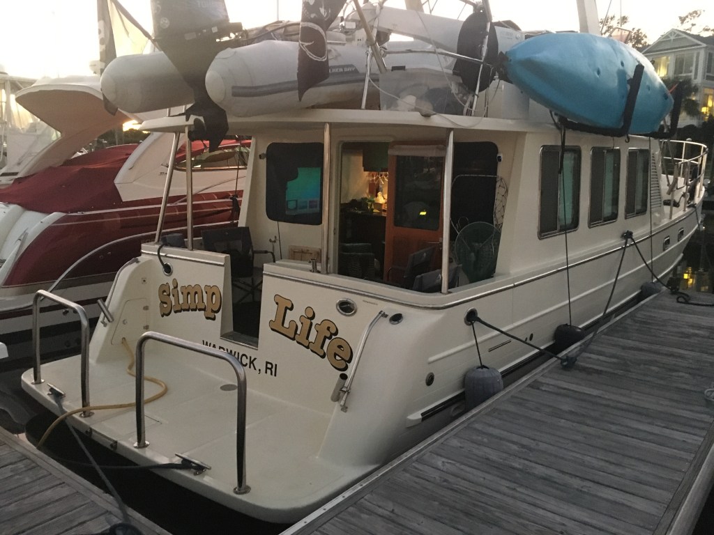
Bridge Tender Marina
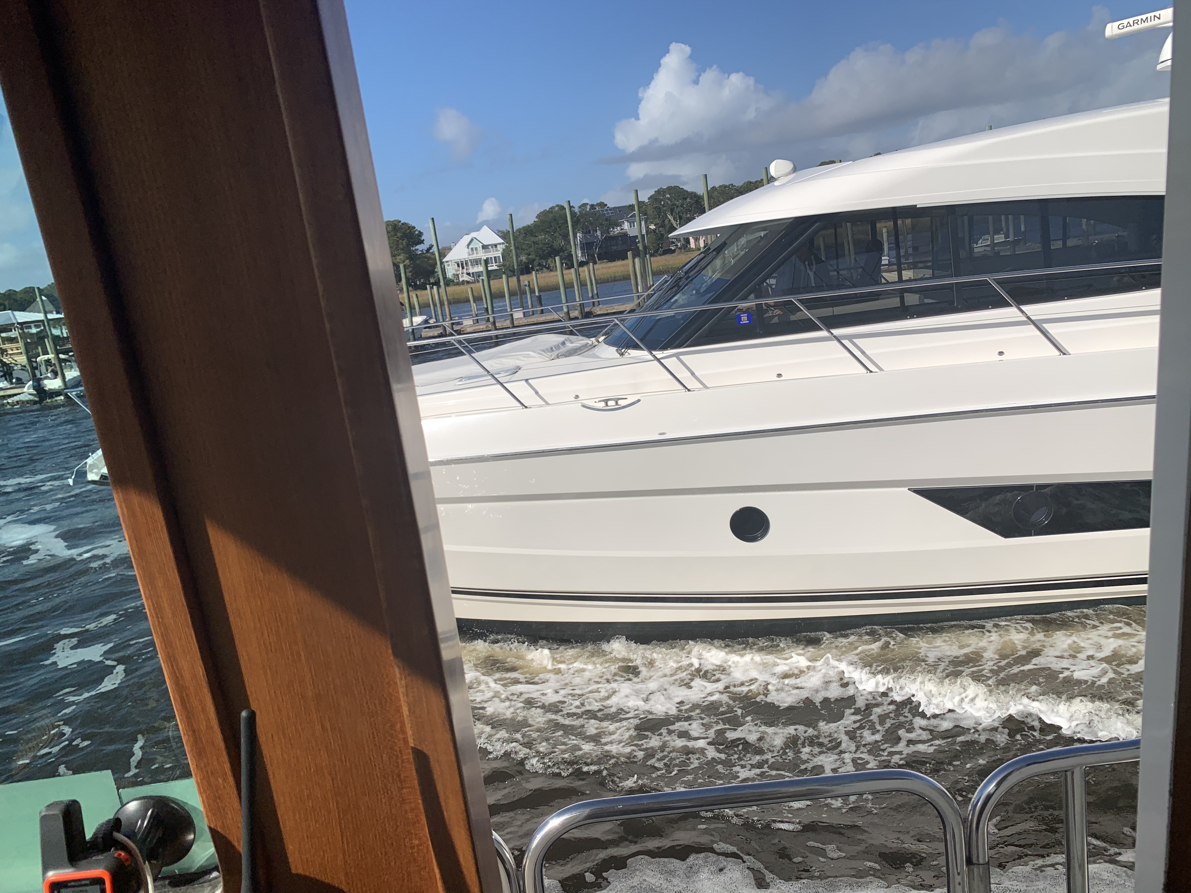
Just on the other side of Wrightsville Beach Bridge is Bridge Tender Marina. Lots of boat porn as you motor past. Every boater prides him or herself on boat brand recognition. I struggle to recognize each of the boat manufactures as I slowly pass making sure not to wake the boats in the marina. Can you recognize any boat manufacturers? I zoomed in to find badging on a few but sometimes I look up the boat name in the USCG documented boat online search to find the manufacturer.


Speedsters
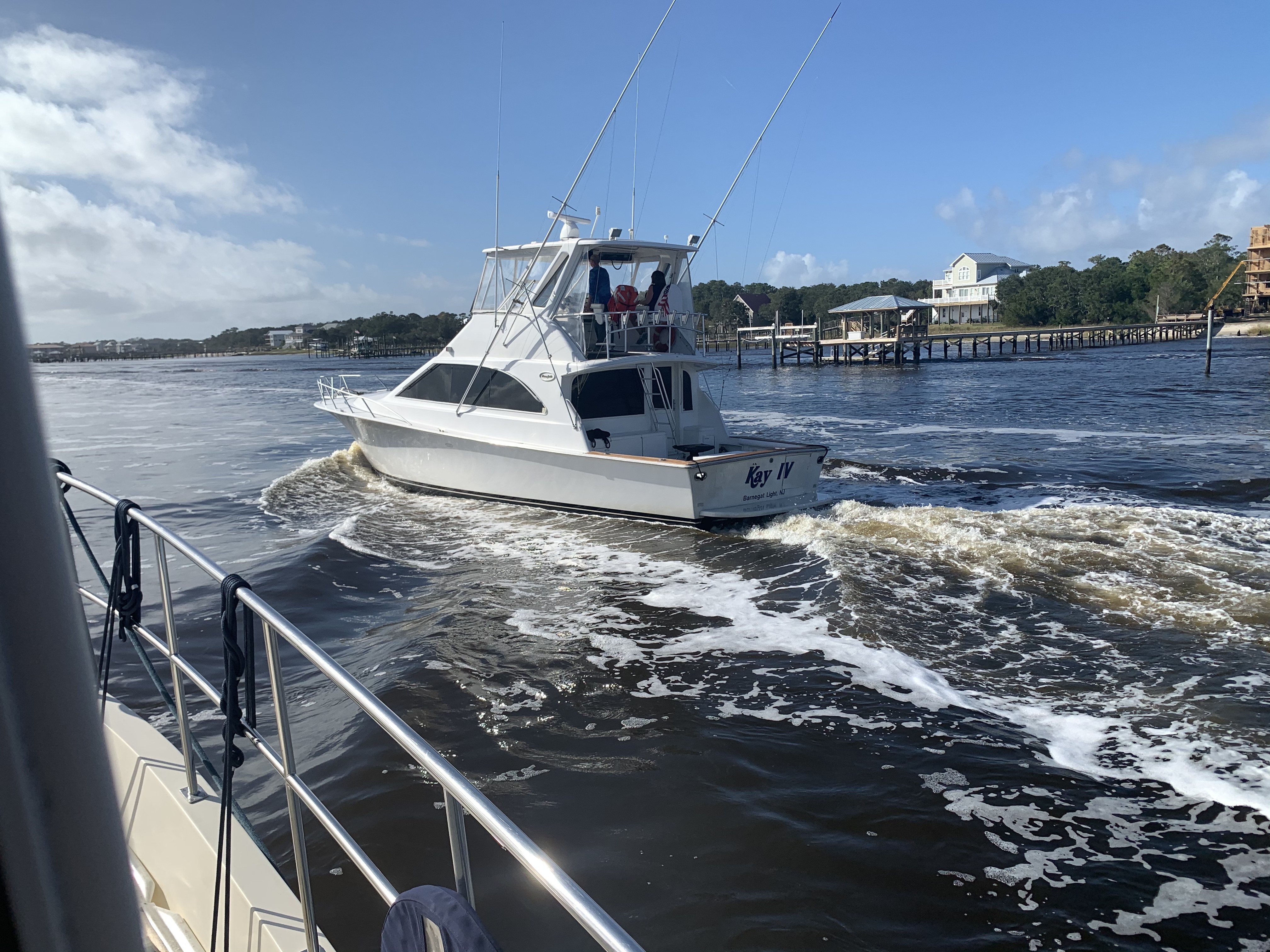
As I approach Carolina Beach, NC several large Sportfisher boats begin overtaking me. One after another.


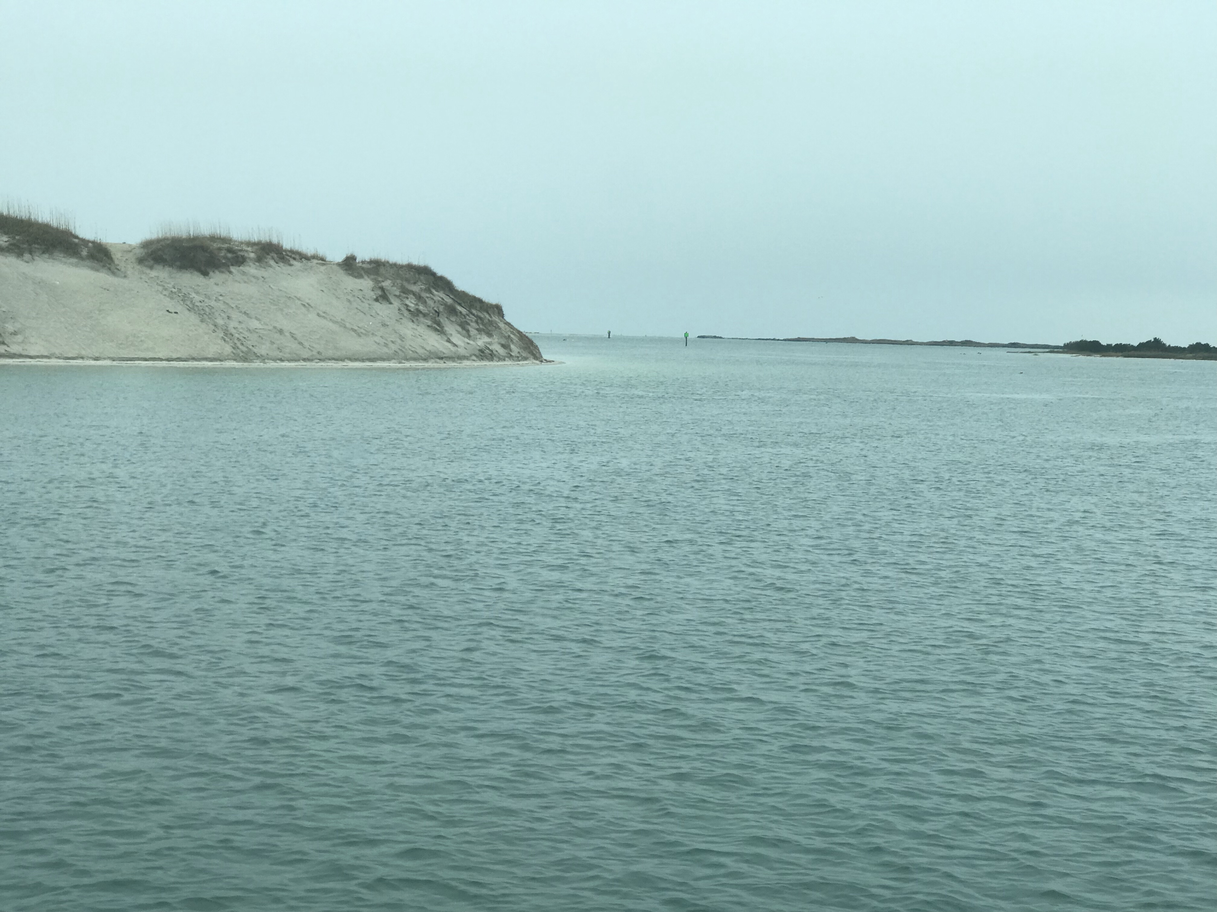
Snow’s Cut
All these boats are now ahead of me as we turn into Snow’s Cut on the ICW.
I hear one of the boats hail another boat and ask to pass. I think to myself… this is not a good place to pass as I look down at my USACE hydrology overlay. I can see that the water is swift on the outside but slows on the inside, dropping sediment from the slow water and creating shallows.

I am about to hail the inside boat when I hear one of the Sportfishers call out on the VHF that it’s shallow in there and instructs the boat on the inside of the turn to turn back towards the outside of the turn. No boats grounded in that moment and any damage to propellers was avoided due to that heads up VHF call.
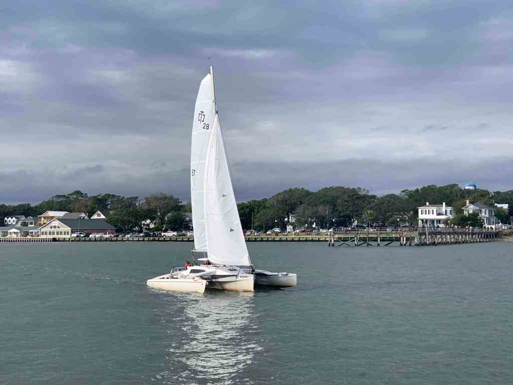
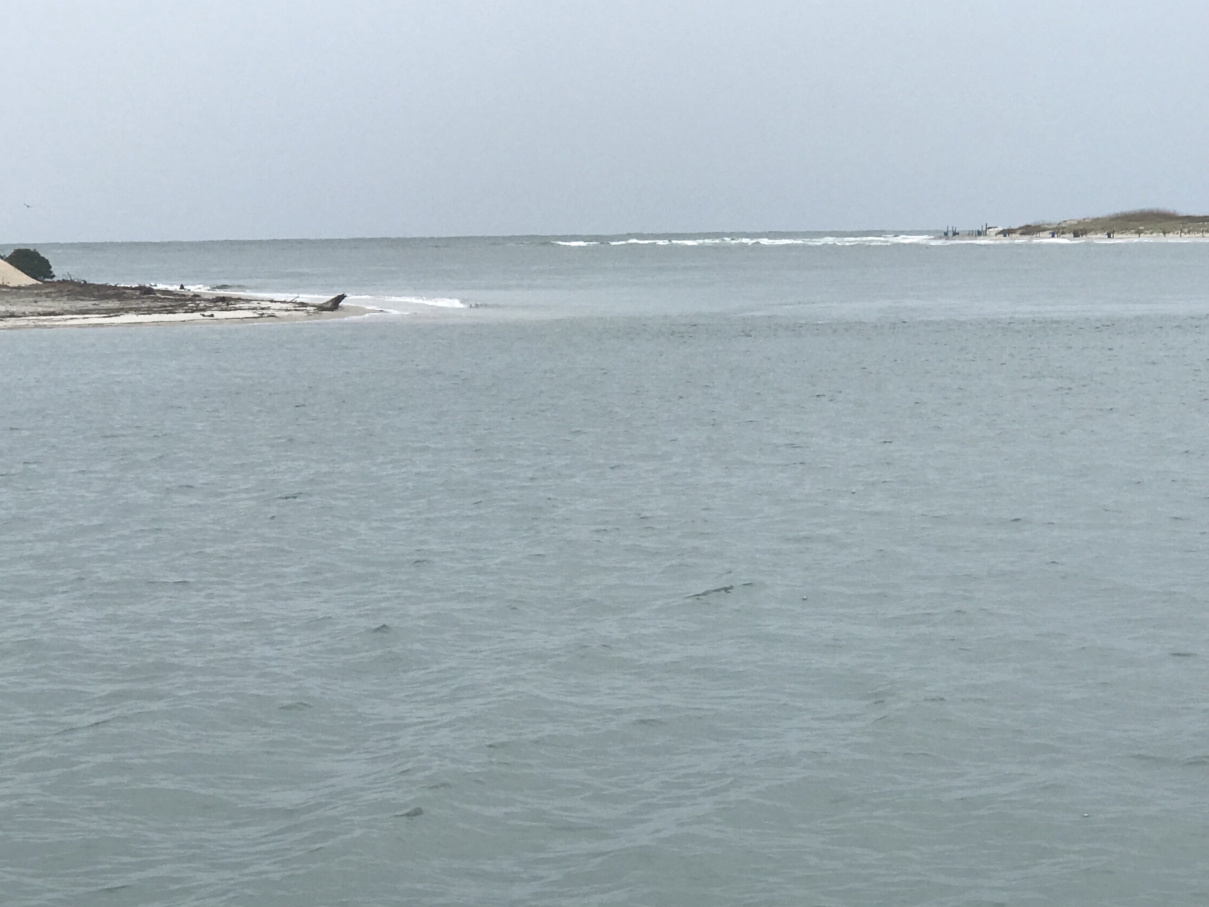
This sailboat at the other end of Snow’s Cut was not so lucky avoiding the shallows.

Cape Fear River
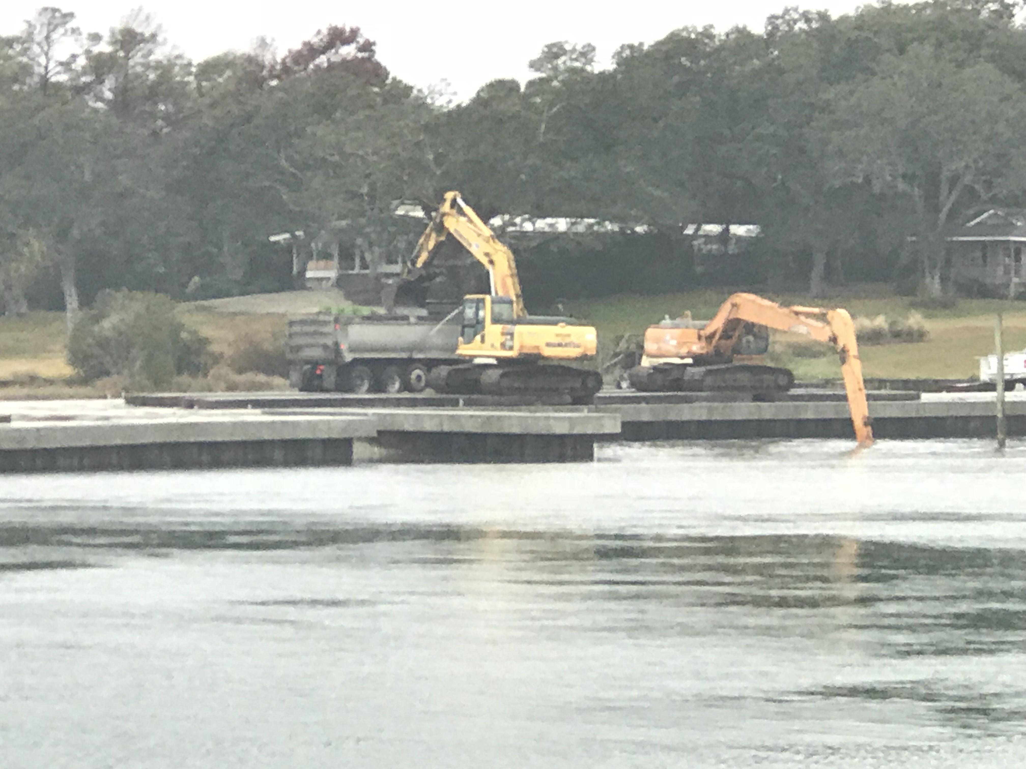
Snow’s Cut dumps you into the Cape Fear River and I am slowly passing a clam shell bucket dredge. Reminds me of that toy that little kids play with in the sand box.
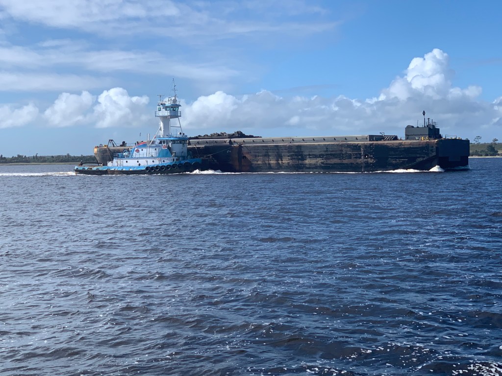
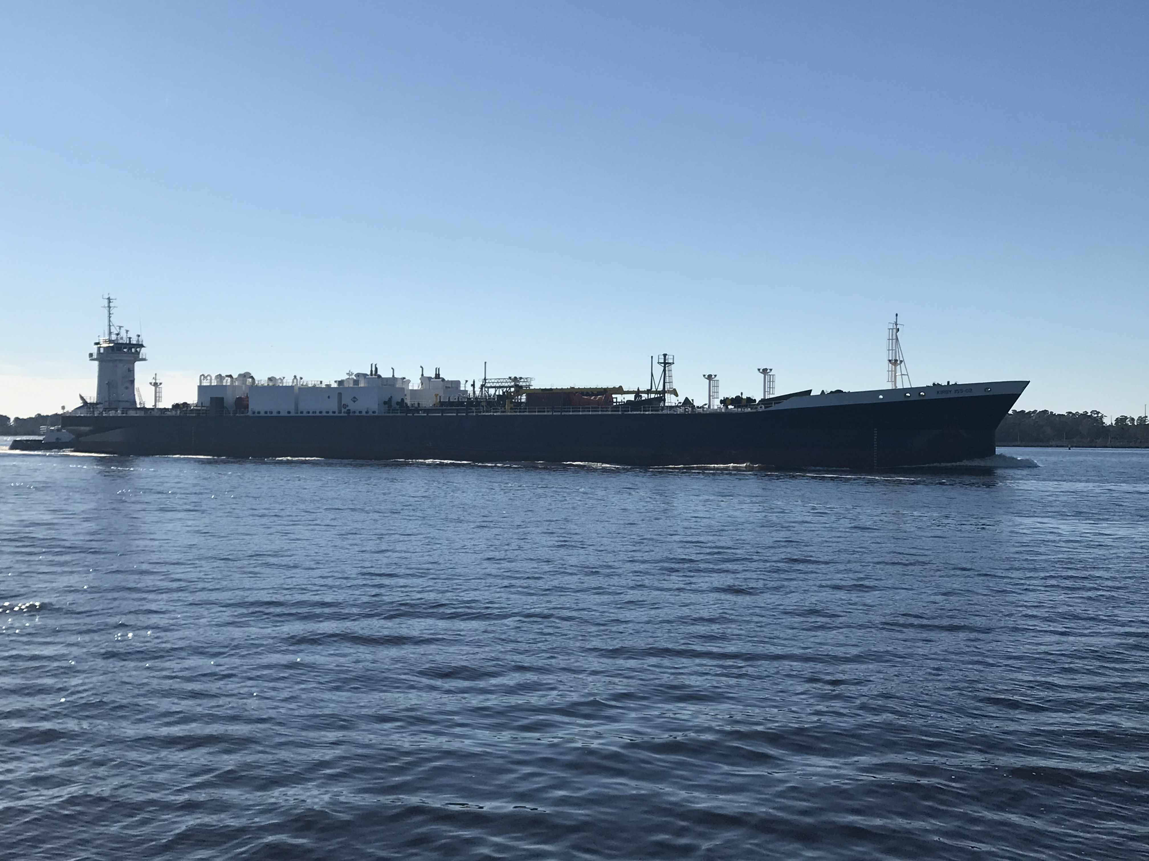
I pass a tug with a large barge on a hip tow.
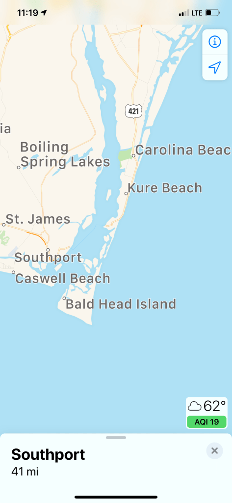
Southport, NC
Now reaching where the ICW departs from the Cape Fear River I look over and see the famous Frying Pan restaurant. Named after Frying Pan Shoals found extending offshore from Southport, NC.

SJP Marina
Moments later I was running around the topsides of the boat while it’s driving itself on autopilot. I am setting fenders on both sides of the boat and prepping my dock lines so that I can back into my slip and tie her up. When I looked up I was actually going by the entrance to SJP Marina and had to run up and turn back a bit. There are moments when I’m running around performing the first mate’s job and the boat is just driving itself.
As I pull into the marina I see my friend Jim standing on the docks pointing me towards a slip.

Load Up the Fridge
It’s alway a great feeling to pull into SJP and see Jim and Wende. They always extend a warm welcome and this time they were nice enough to pickup groceries for me so when I landed in the slip Jim was handing me grocery bags. I wasted no time in pulling out the griddle and frying up a large amount of peppers, onions and steak & potatoes. I like to fill my refrigerator full of precooked food. While I’m underway I can simply reheat food in the microwave. If I’m really in a pinch… I make the Cap’n Special which is microwave rice in the rice cooker with nacho chips and Stubbs Sweet Heat BBQ sauce and cheese. Yummy and simple.


Catching up with Jim & Wende
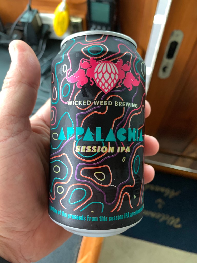
Later that night Jim and Wende would stop by with subs and beer and we enjoyed catching up in the cockpit of MV Simple Life. I look forward to hopefully seeing them again on my return trip north in April 2021. Jim surprised me with some local North Carolina IPAs.
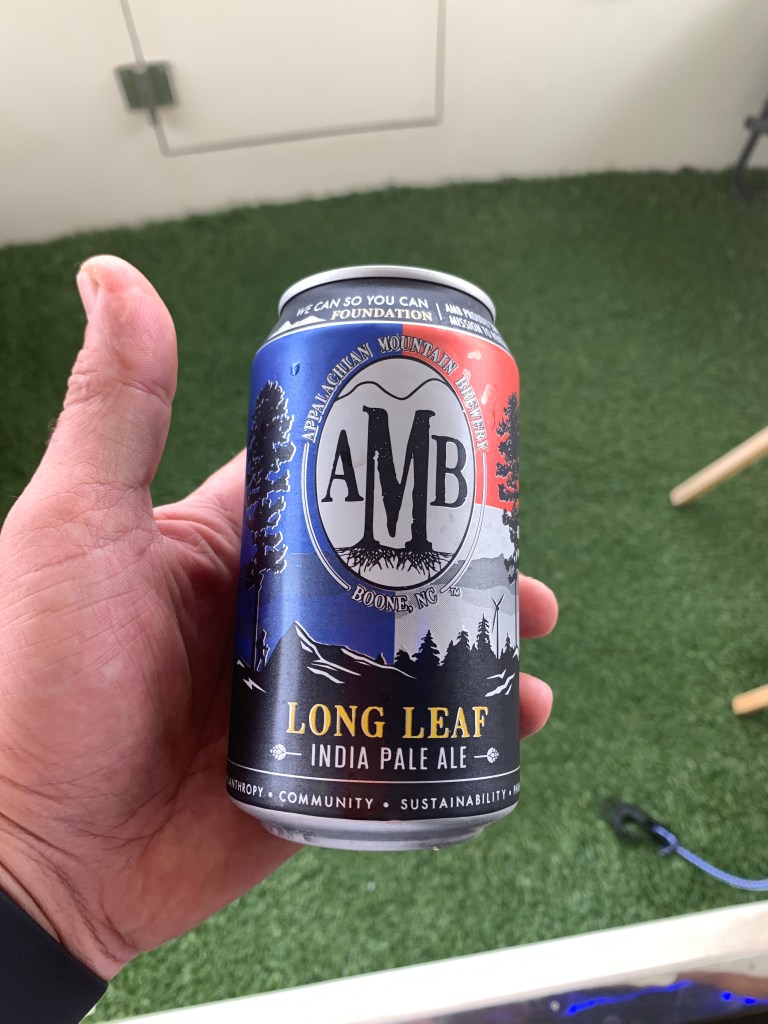
I was so busy enjoying myself I forgot to take a picture of the three of us for the SL blog. Next time!
SJP Marina is a beautiful location.


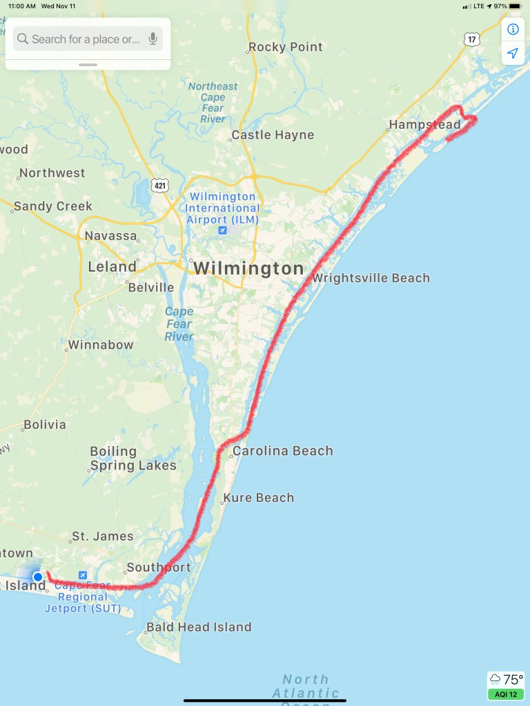
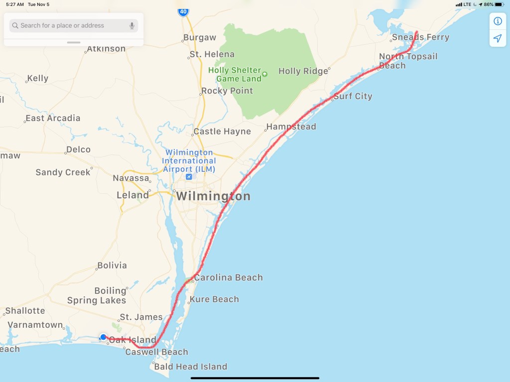
Today’s short 46NM journey looked something like this…


You must be logged in to post a comment.