
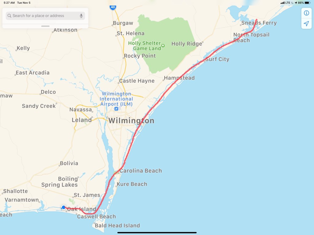
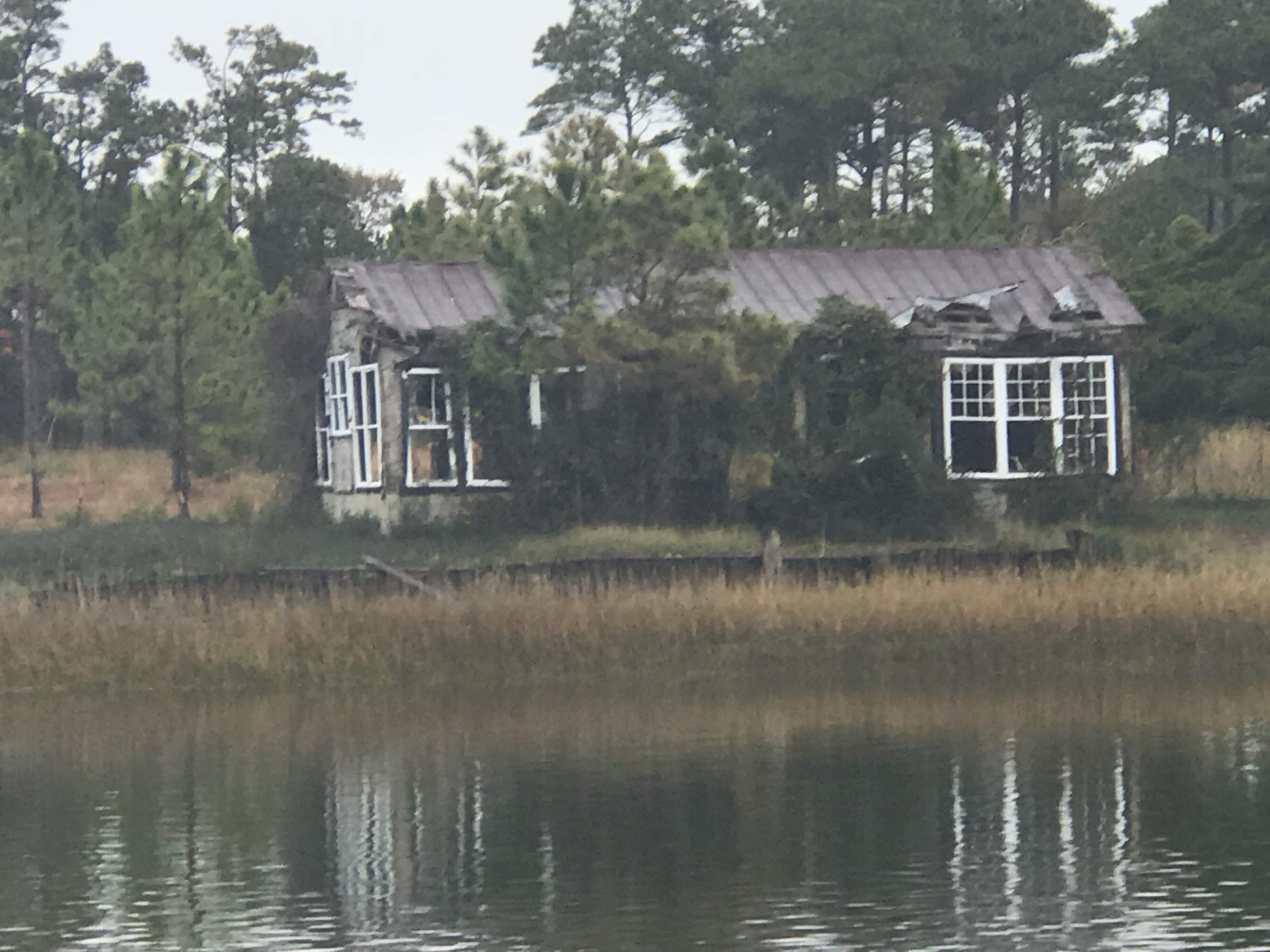
The leg to St. James Plantation looked approximately like what’s pictured below.
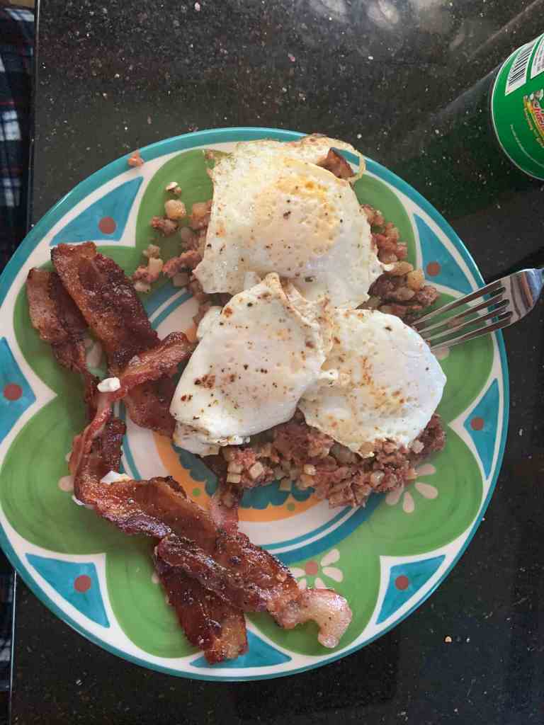
We made hash, eggs and bacon while underway.
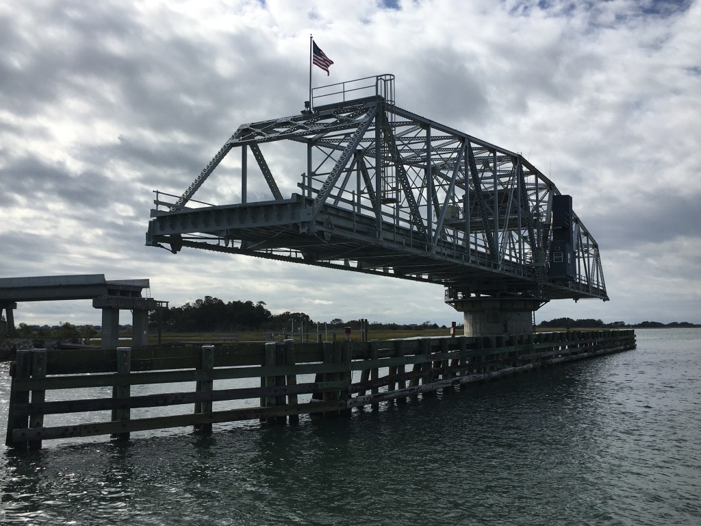
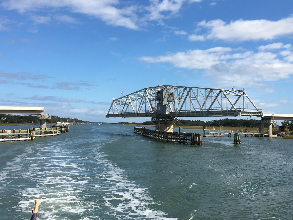
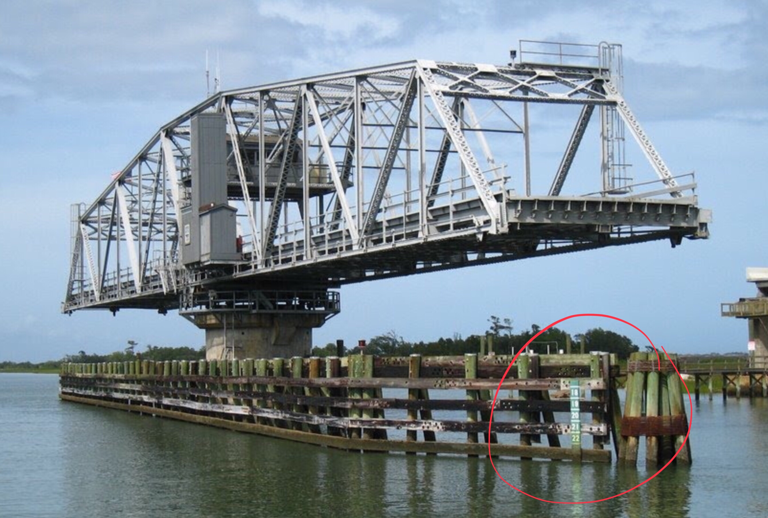
As you approach Wrightsville Beach from the north you must request an opening of the Figure Eight Swing Bridge.
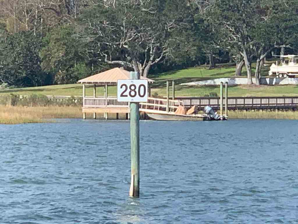
ICW Statute Mile 280 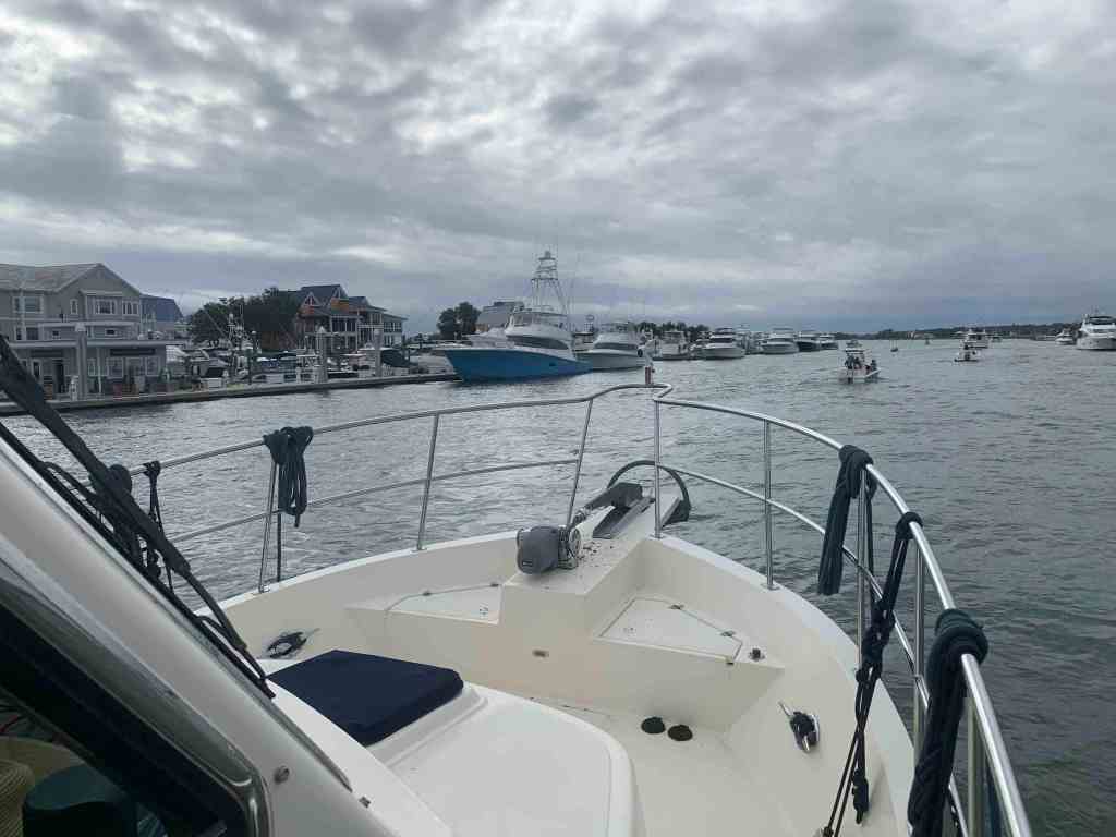
Approaching Wrightsville Beach 
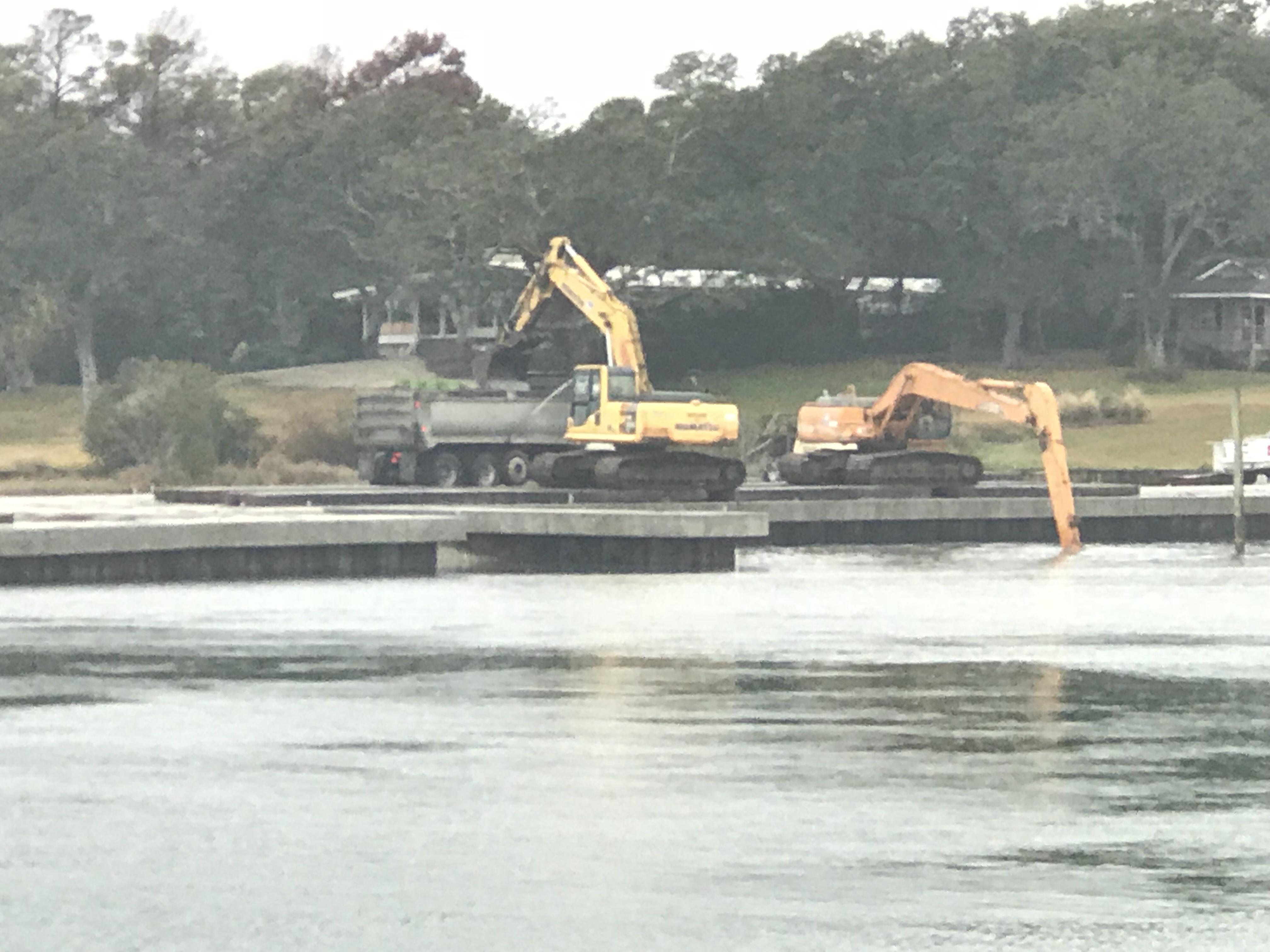
No Wake Passing Marinas
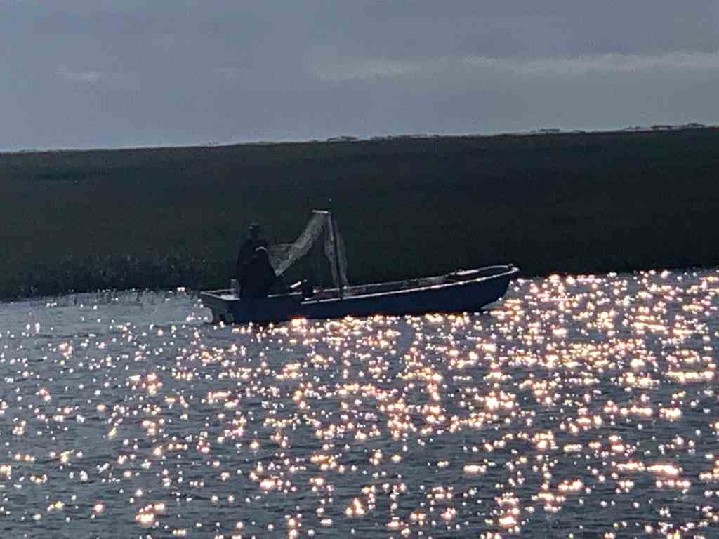
We passed these small boats trawling nets behind them. I believe they were going after bait fish that were schooling around us.
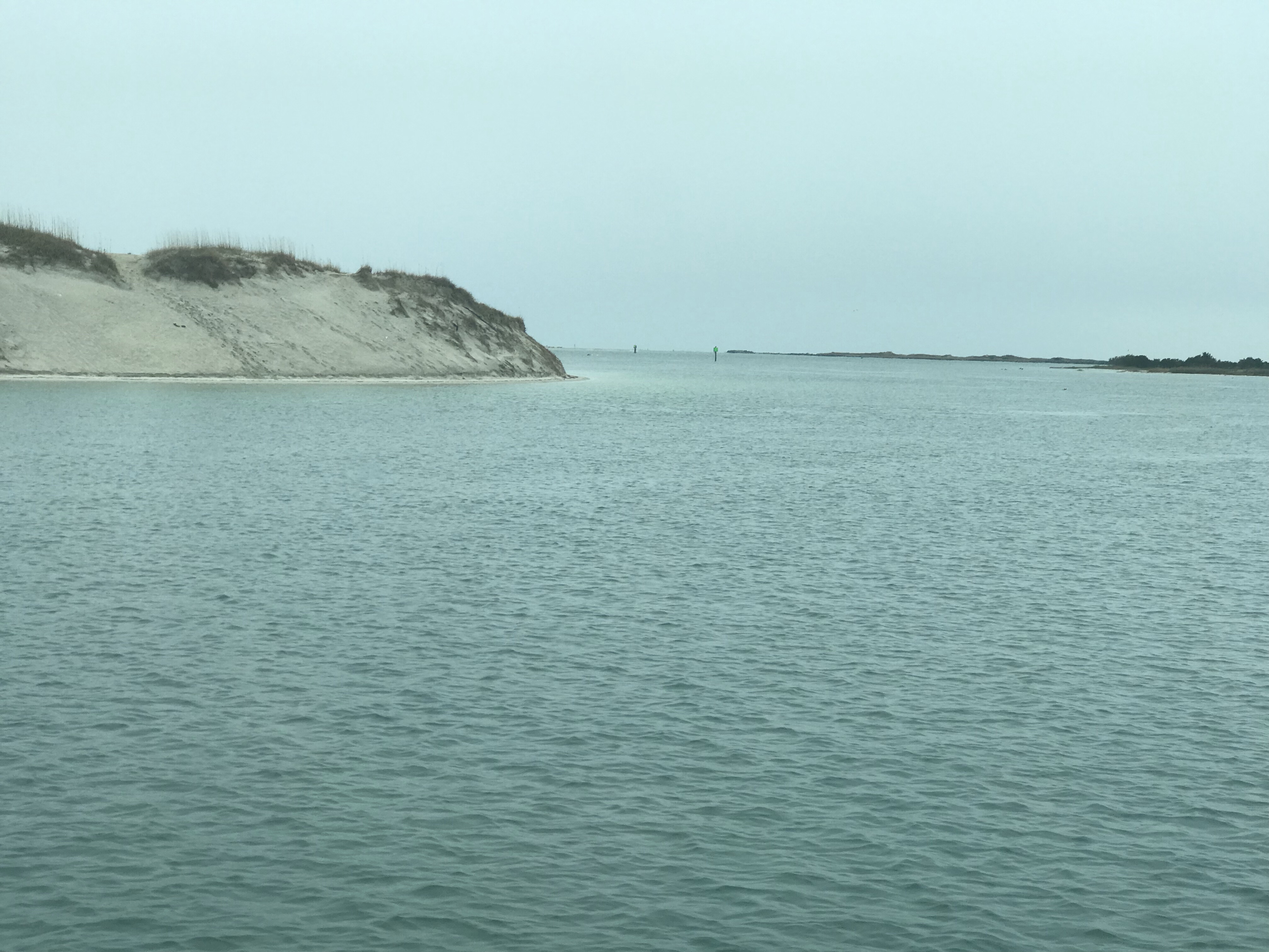
As you approach the Cape Fear river you must first pass through Snow’s Cut that connects Carolina Beach with the Cape Fear river.
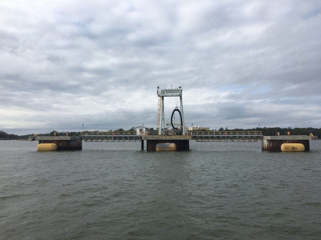
Once in the Cape Fear river you will find large ship and ferry terminals.


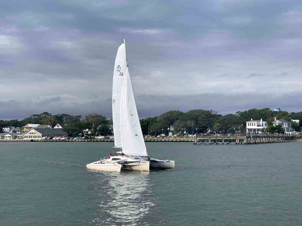
As we continued down river we had to cut through a sailing regatta. It was a halloween regatta and you guessed it… Pirate costumes were everywhere.


As we worked our way around the southern tip of Southport you could see it was standing room only on the back deck of the Fish Company restaurant and bar.
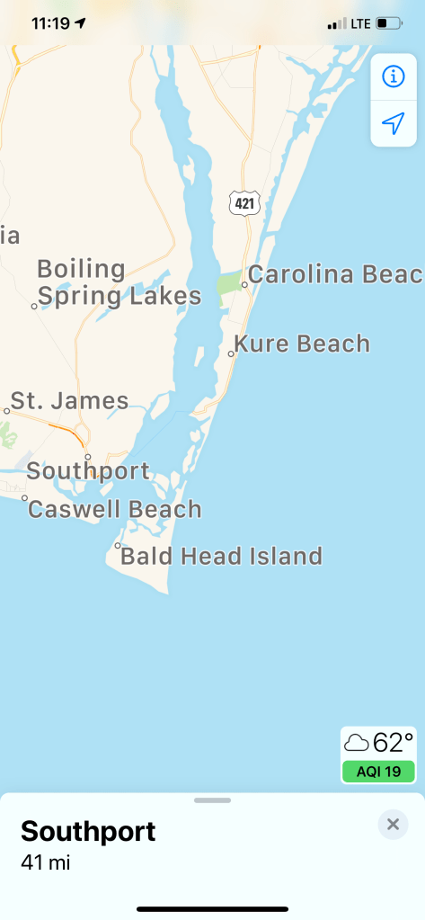
Map showing Cape Fear River and Southport, NC
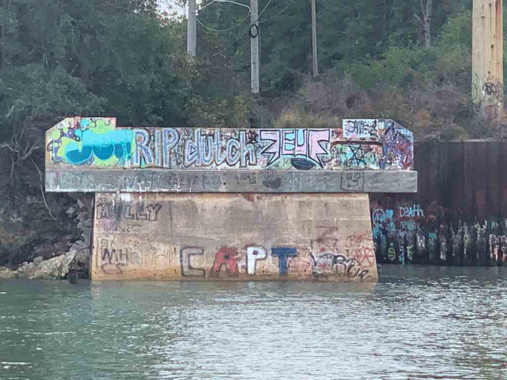
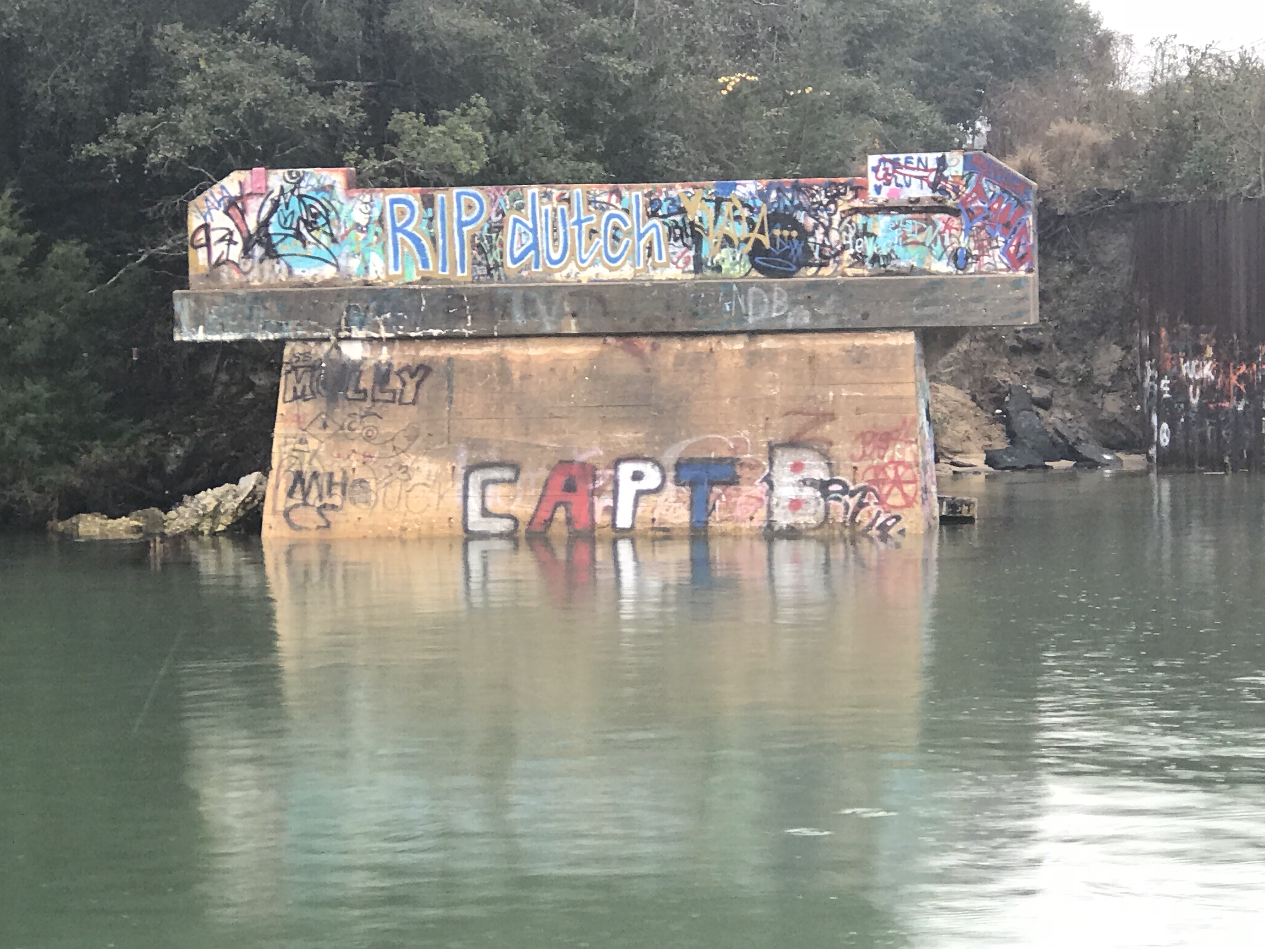
As you round Southport the river narrows and the current was running strong against us. We passed this derelict commercial boat along the way.

Soon we were inside the small harbor of St. James Plantation. Our friends were kind enough to offer us their slip for however long we wished to stay. So nice to have friends like this 🙂 The slip was about 16 feet wide and it was a tight fit due to the kayaks stowed on either side of the fly deck. Luckily we have bow & stern thrusters and with the help of our friends who were waiting for us… we squeezed straight back into the slip.

Once docked we got to meet the Craig Thompson who graciously offered up his slip to us.

We had lots of fun aboard Craig’s new 36′ Tiara Open. A beautiful boat for fishing off Cape Fear.

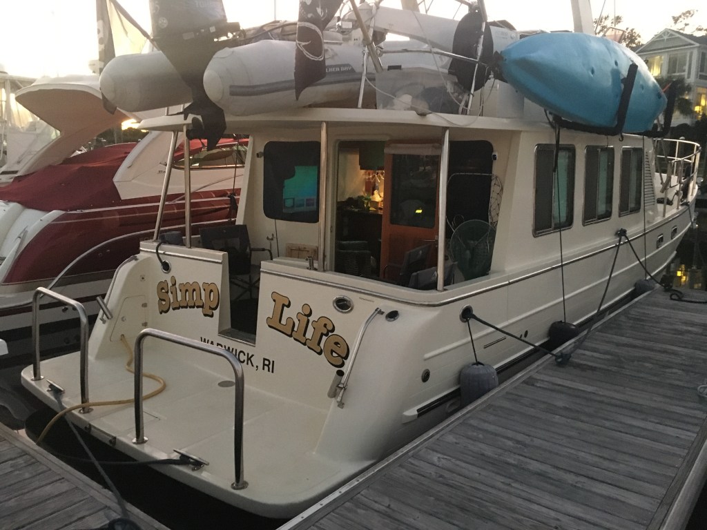
We got to enjoy a few cocktails with our feet up aboard Simple Life.

I always enjoy seeing Jim & Wende (who was in quarantine due to not feeling well, Get better soon!). It’s always lots of fun and this stay we were able to not only complete our provisioning (thanks for the use of your truck, Jim) but Jim also brought us a leaf blower so we could blow out our clothes dryer vent hose without needing to remove it.

We caught some football on the boobtube.

Buddy & Renee did some kayaking around the St. James Marina and ICW.

We thoroughly enjoyed our stay at St. James Marina. Jim came down to say goodbye and we snapped this pool noodle pic. Jim likes to start new fashion trends and we are thinking this could be all the rage!

Next stop Charleston, SC!


You must be logged in to post a comment.