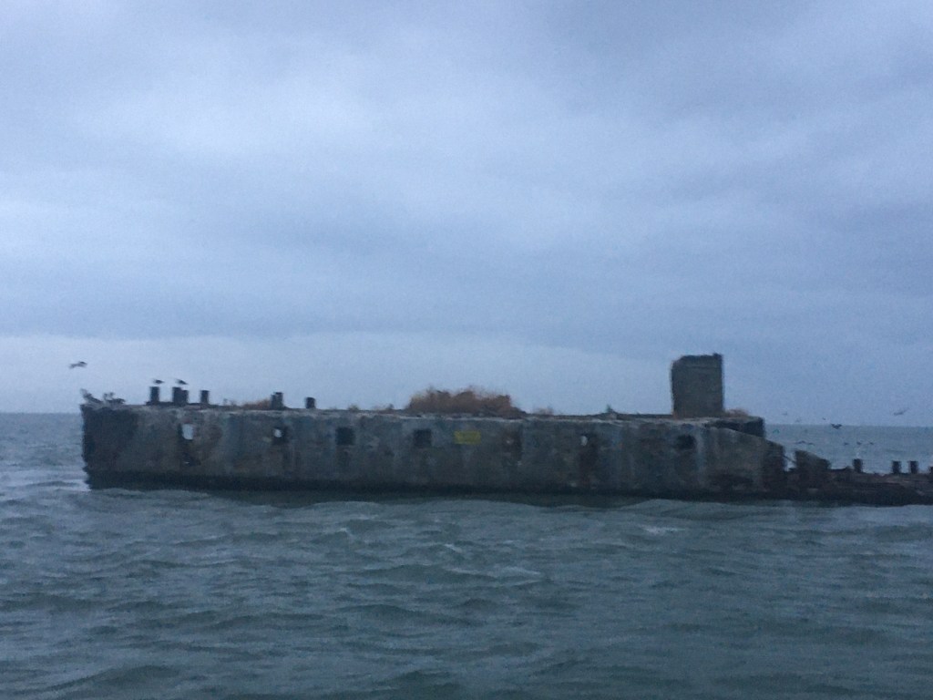
It was enjoyable to set the hook after a 33 hour run outside. Our night’s stay on anchor flanked by the ghost ships was beautiful.
Saying Goodbye to the Concrete Ghost Ships
Now we were crossing the lower portion of the Chesapeake Bay and taking the stern of crossing cargo ships.
Turning to starboard to take the stern of a cargo ship near Thimble Shoal
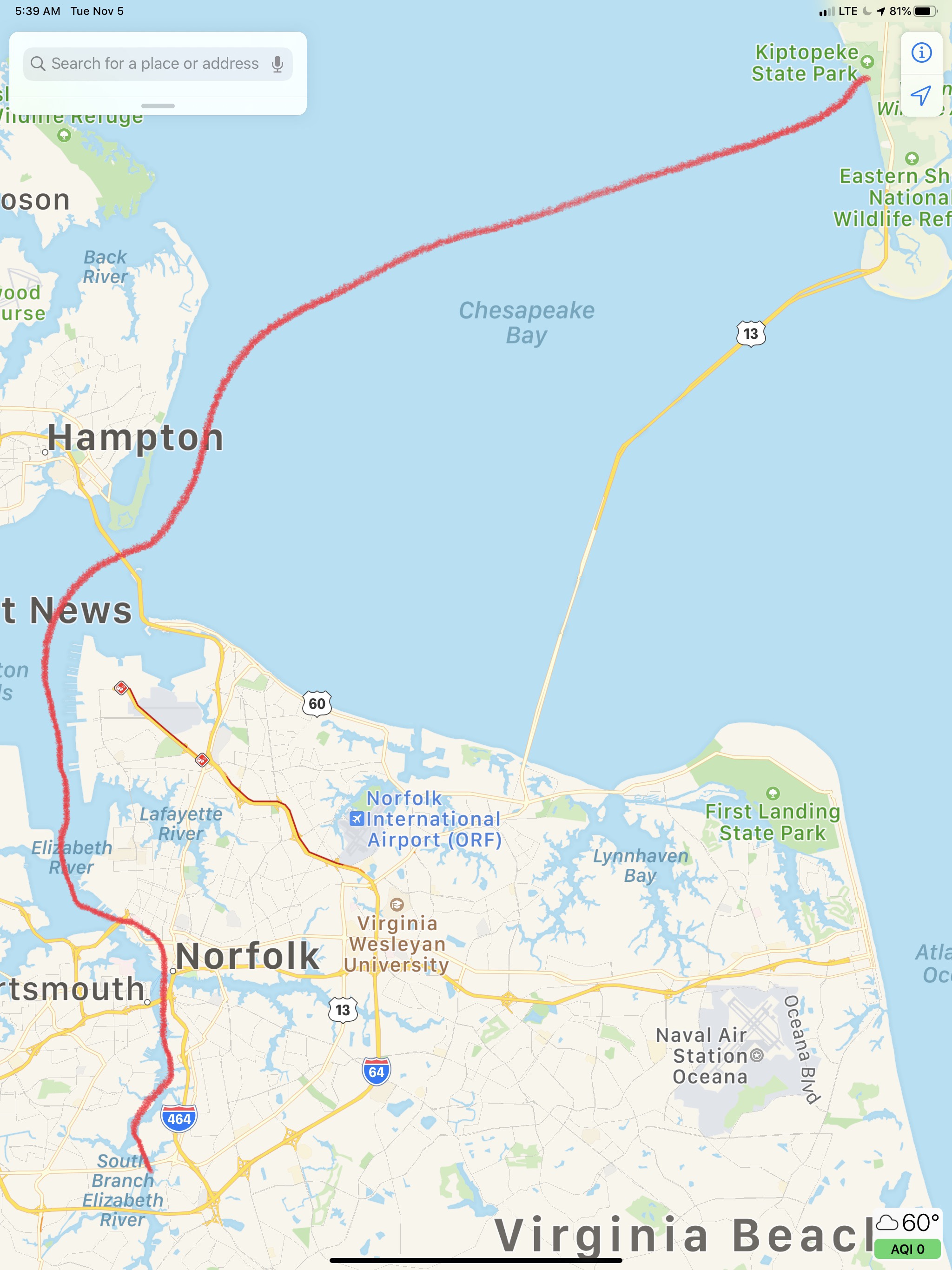
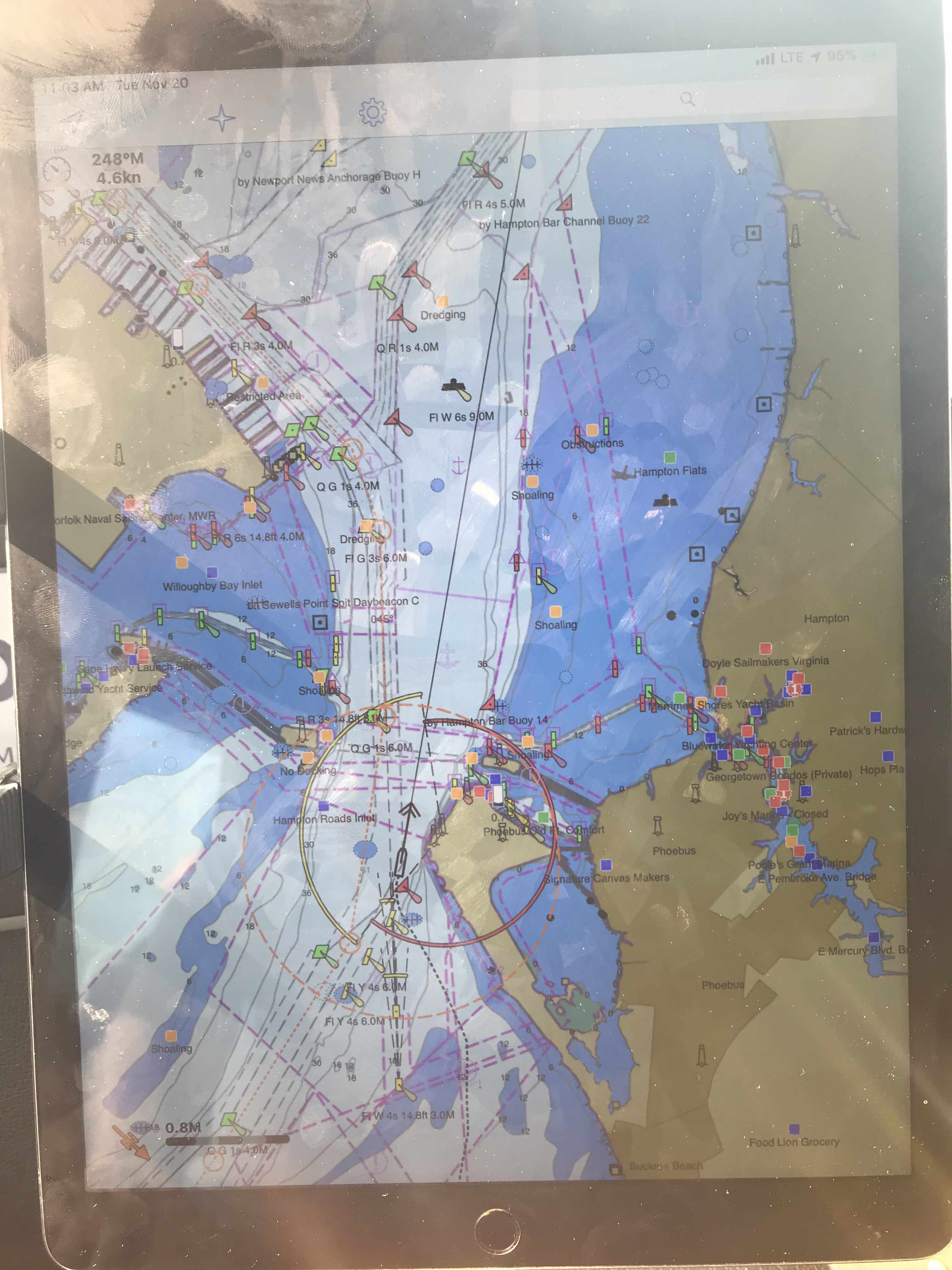
Today’s route through Norfolk looked roughly like this.
Kiptopeke State Park – Chesapeake, VA
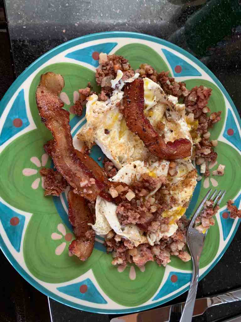
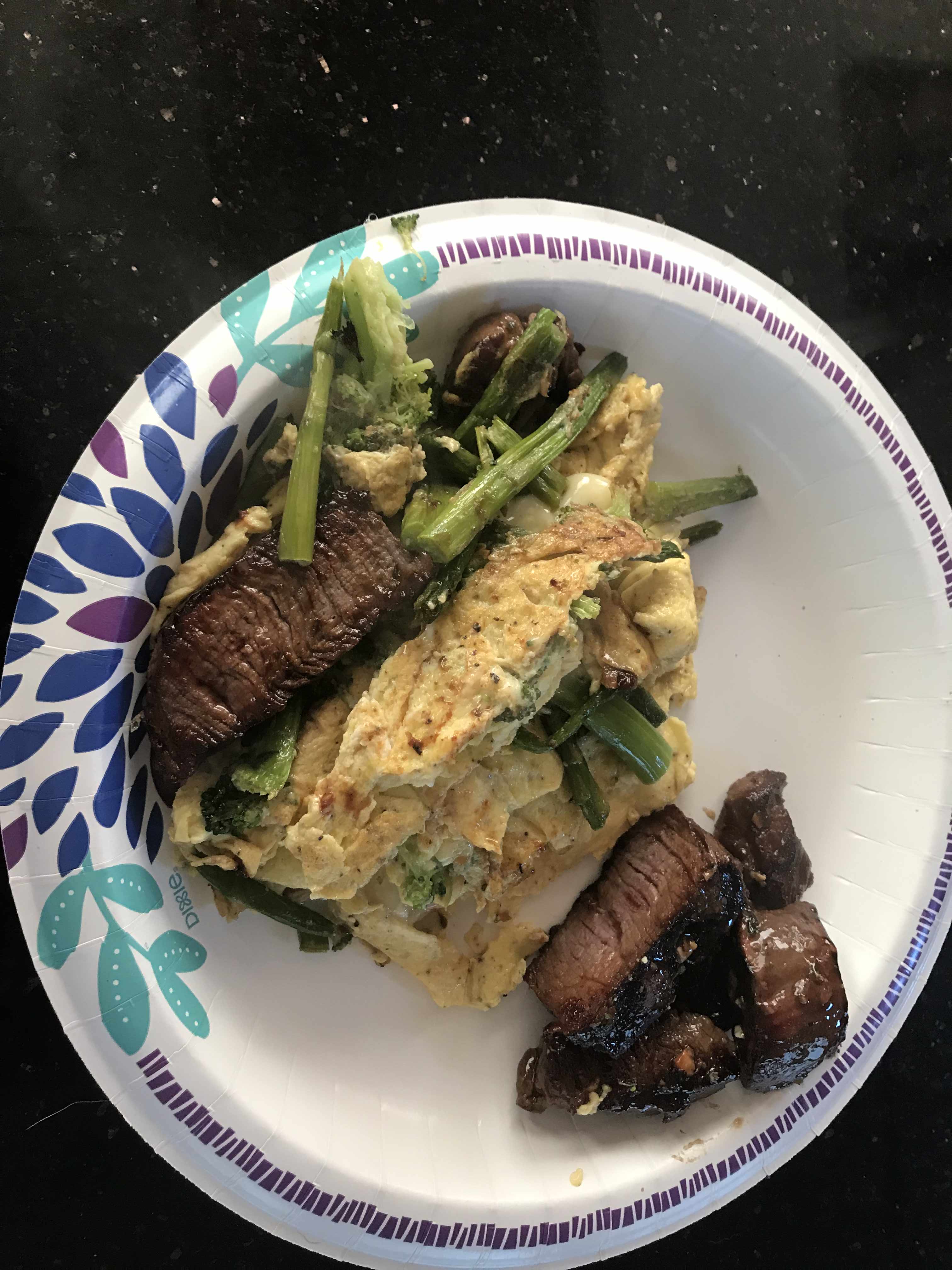
Shortly after getting underway we enjoyed one of my breakfast favorites, “Bacon Hash & Eggs”.
YUMM
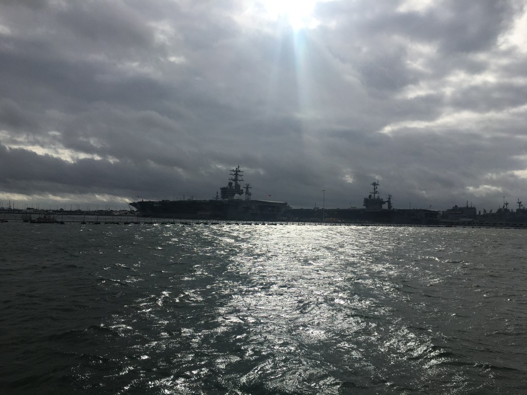
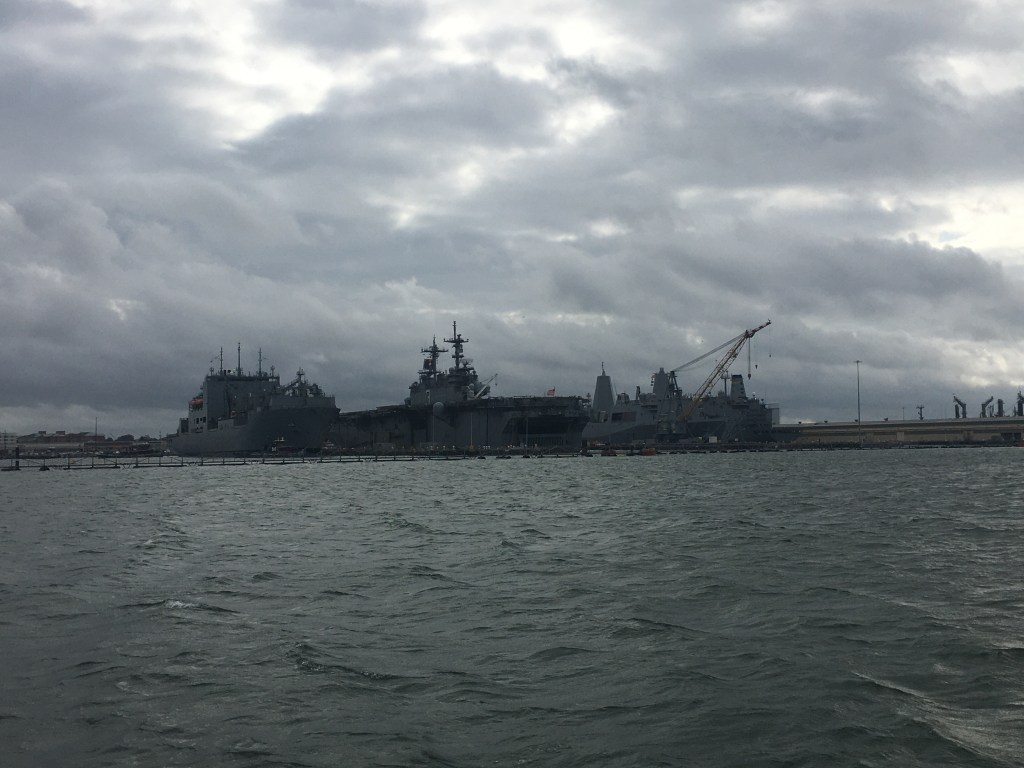
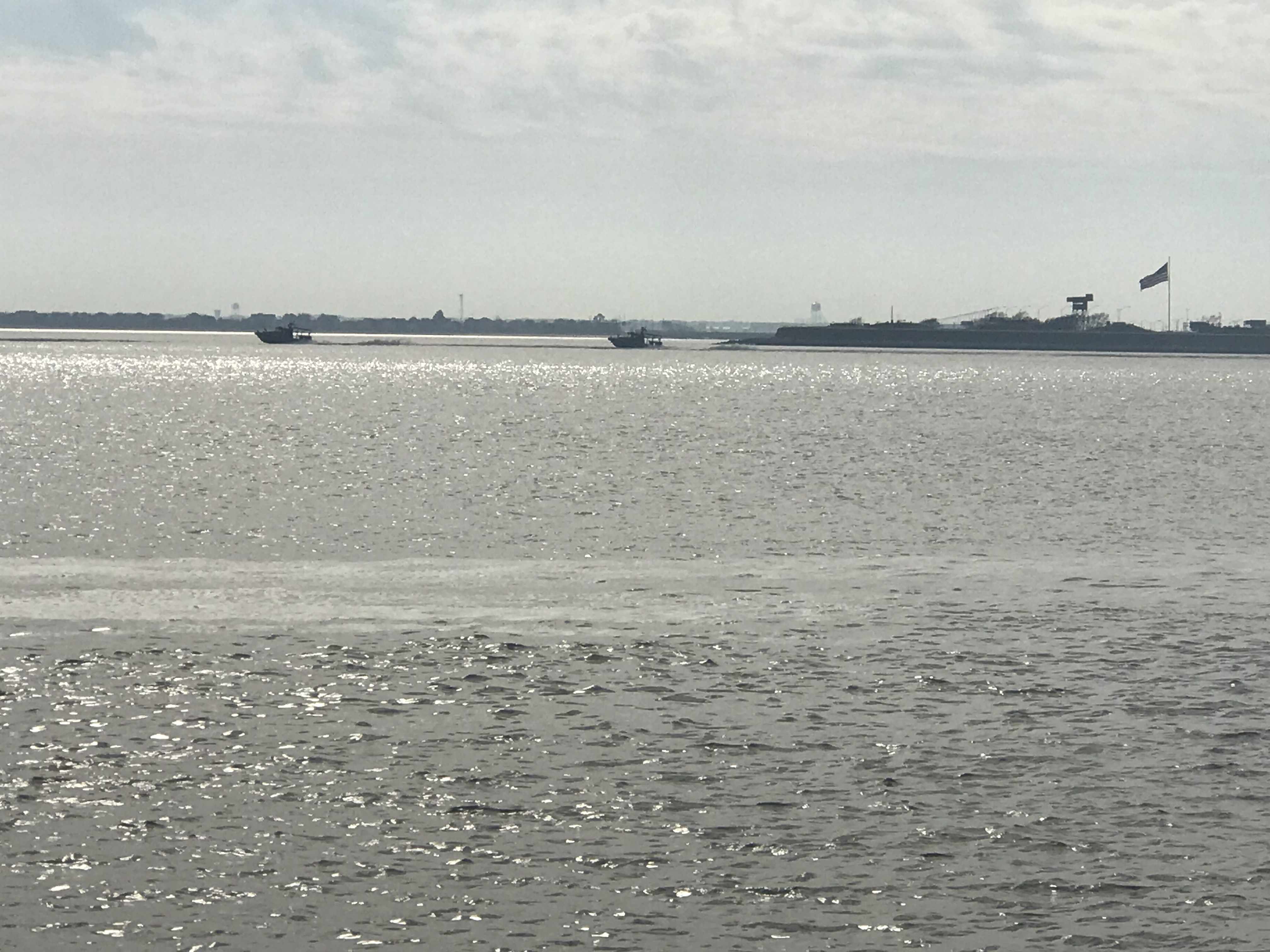
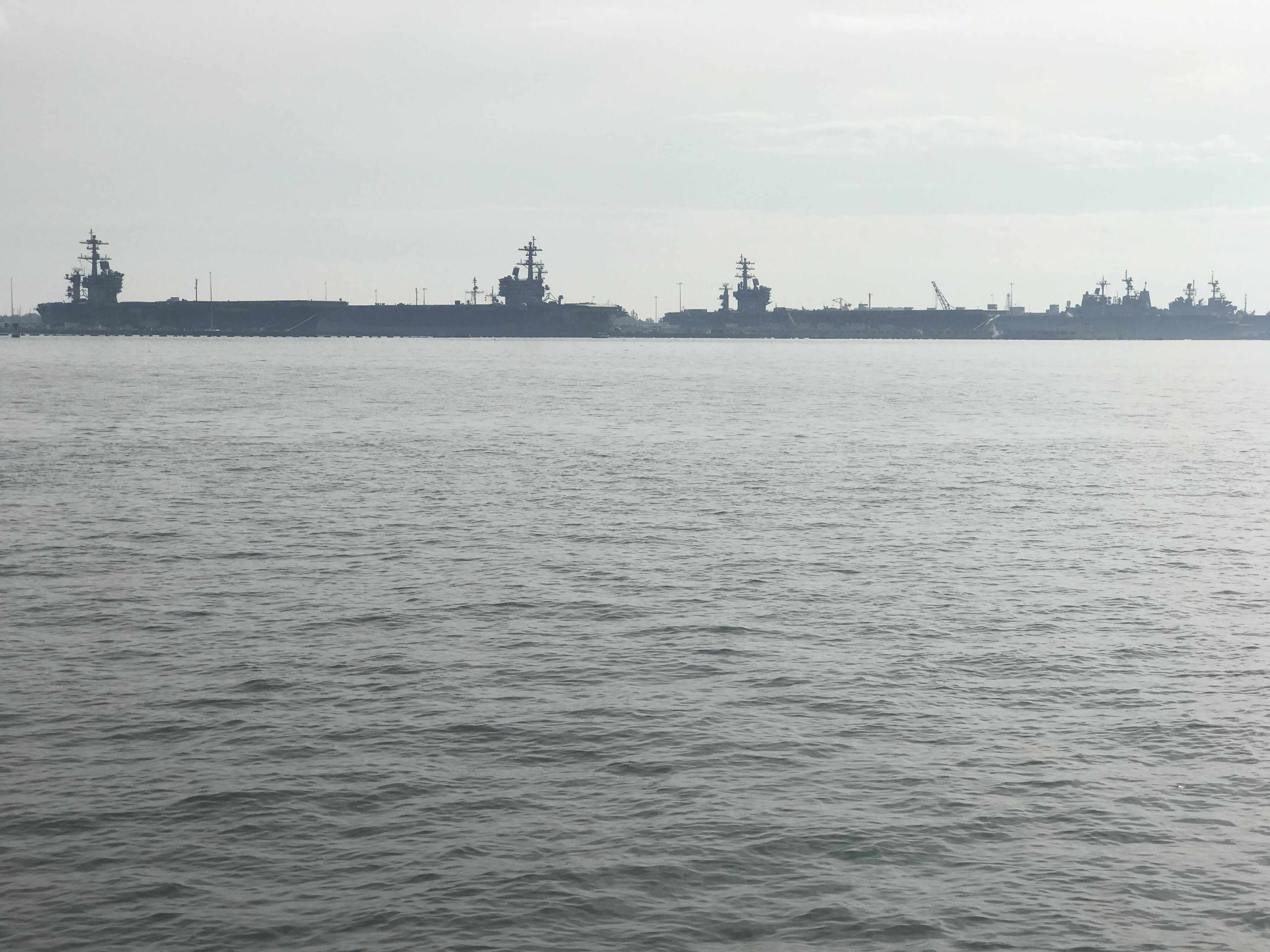
Soon we were passing all the warships docked at Norfolk Naval Base.
Warships on a Cloudy Day
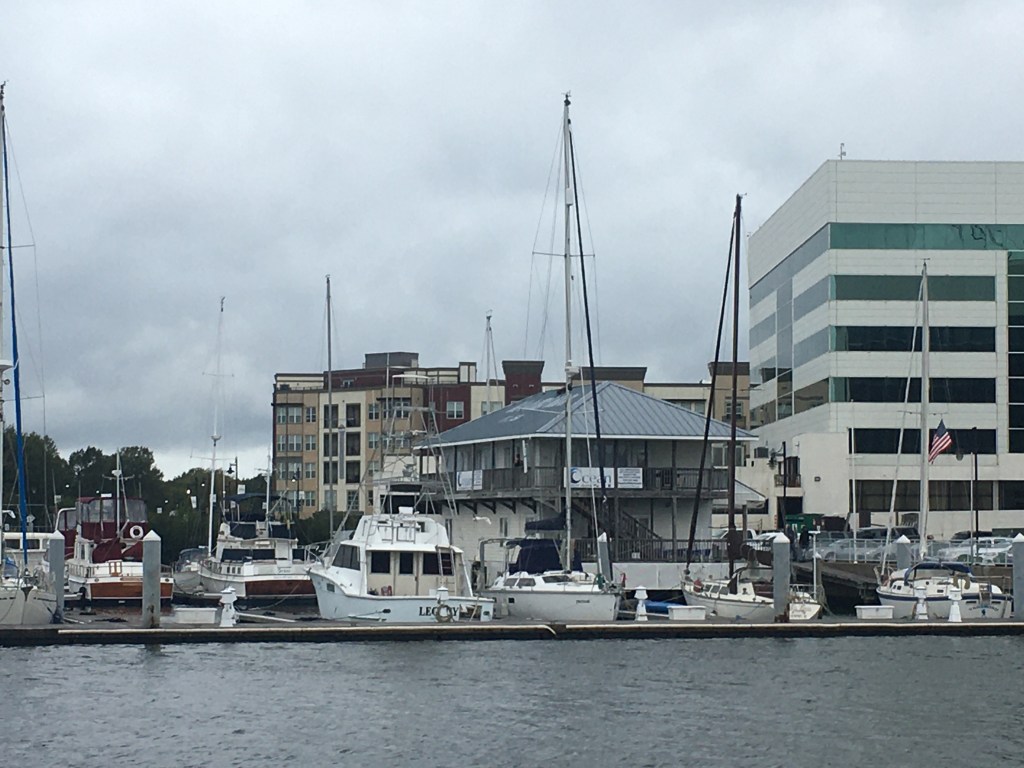
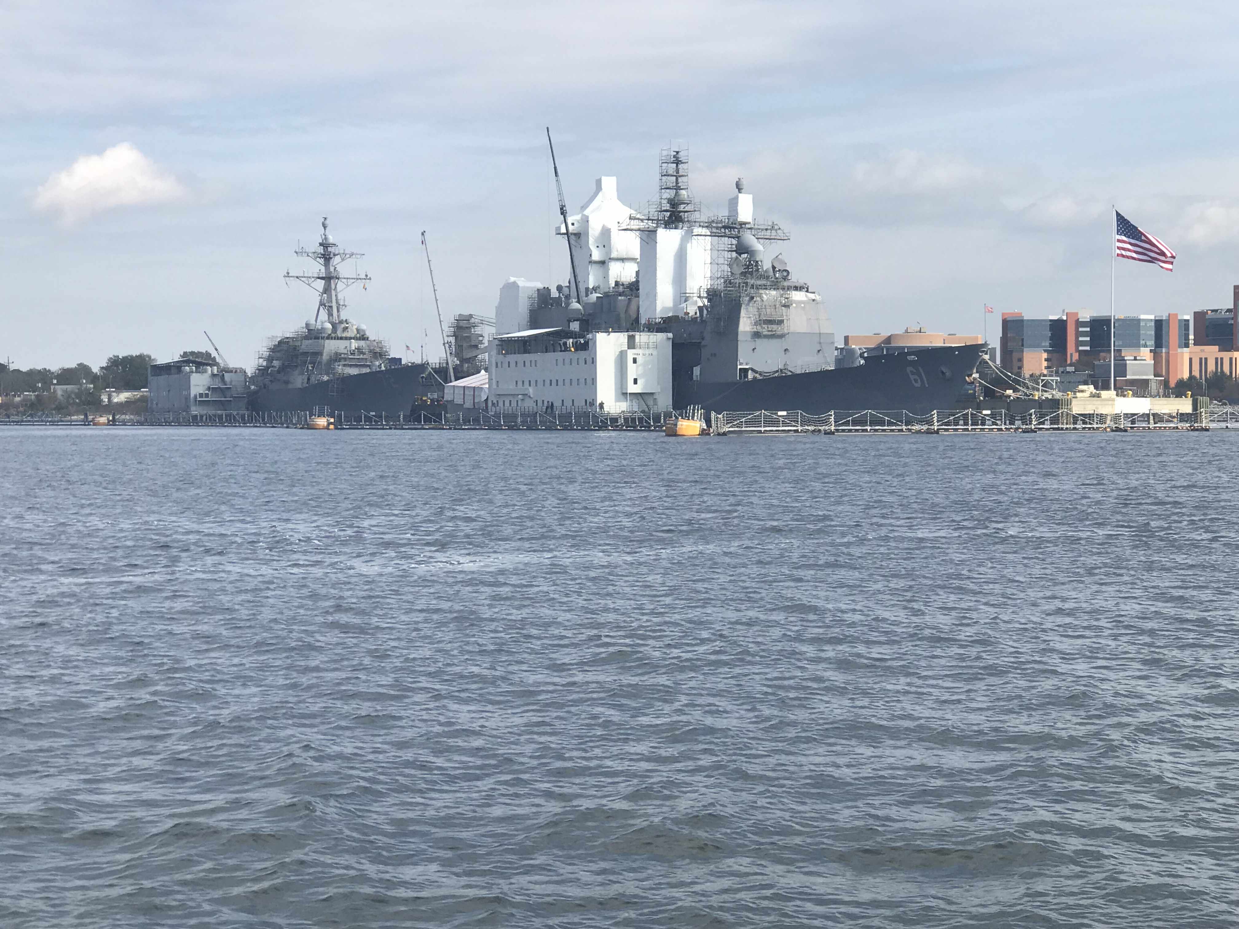
After you pass the Navy base you come to the Portsmouth ship yard where you’ll find lots of large ocean going vessels in port for repairs or to unload their cargo. Tidewater marina is located here and it’s a popular stop for ICW cruisers.
Tidewater Marina
A bit further south and we were at the official start of the ICW or mile marker 0.
We rounded a bend in the Elizabeth River and found that the Norfolk Southern Rail Road Bridge was currently in the down position. This meant doing circles while we waited and watched two separate trains go past. One train was leaving with what looked like a full load of coal. The other train appeared empty and inbound.
Once the Norfolk Southern RR Bridge opened, it was time to slip beneath it
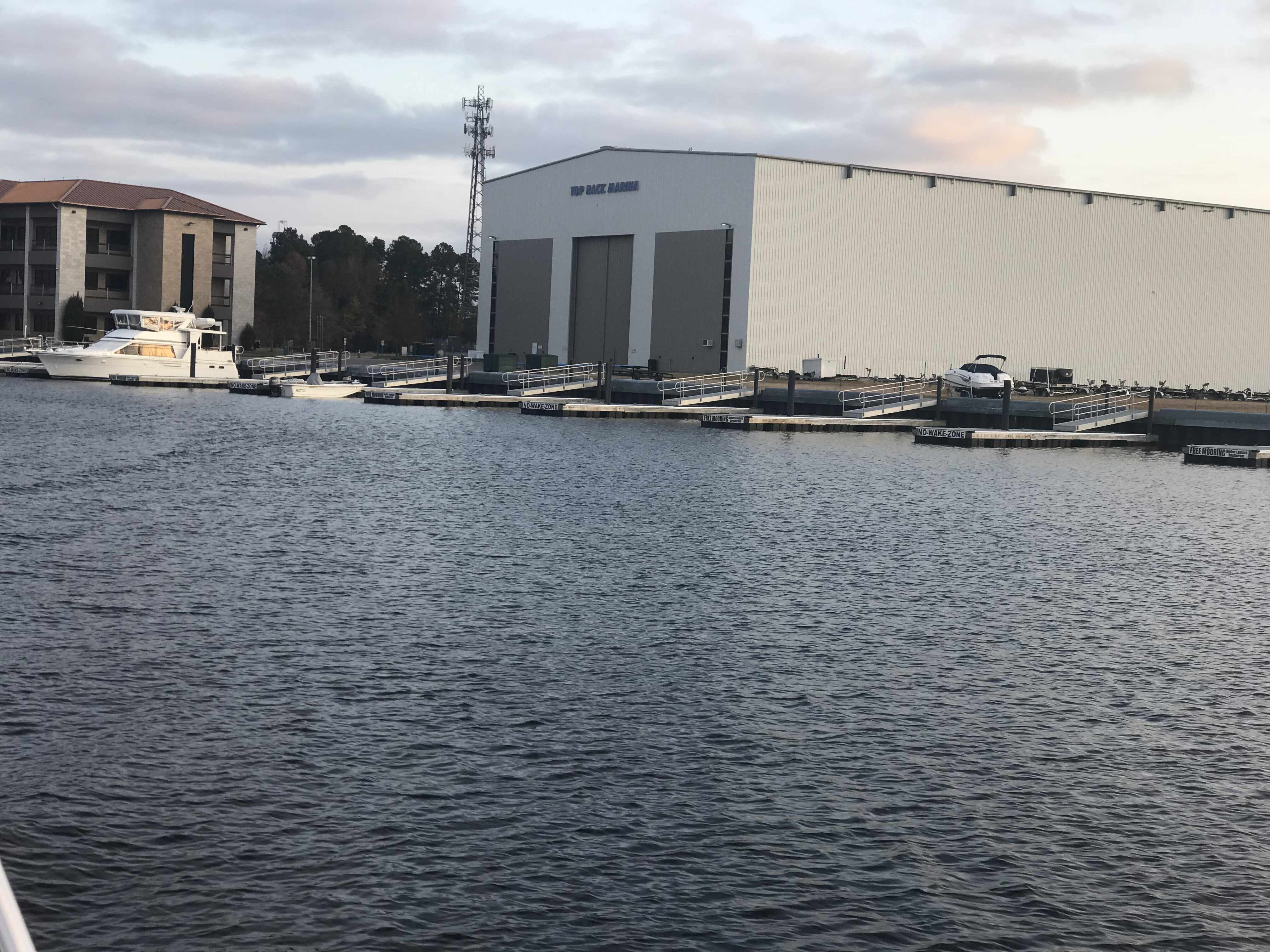
When we arrived at Top Rack Marina in Chesapeake, VA, we took on 292 gallons of diesel. We had last filled the diesel tanks in Warwick, RI. While we could have saved fuel by pulling back the throttles a bit, we have been making good time ever since we departed Warwick, RI. Warmer weather is in front of us.
Then we moved over from the diesel fill slip to our assigned slip for the night.
Renee in the cockpit at Top Rack
With provisions running a bit low, I used my Instacart app to buy groceries for the next week or so of our journey. Instacart grocery delivery is great and our shopper delivered our groceries right to our boat.
We struggled to find all the room in the refrigerator for the large order we placed.
Fridge #1 is FULL
Luckily I have a dometic AC/DC fridge/freezer combo that allows either of the two sides of the chest be either fridge or freezer. We quickly emptied everything from the freezer into a single side and raised the temp from 2 degrees F to 34 degrees F and moved whatever would not fit in the fridge in the newly created second refrigerator.
Raised Temp from 2 -> 34 Degrees on Left Side
Tied to the slip with all our provisions put away, it was time for a great meal at the Amber Lantern Restaurant.
Amber Lantern Restaurant
Stay tuned for tomorrow’s leg to the Great Dismal Swamp!
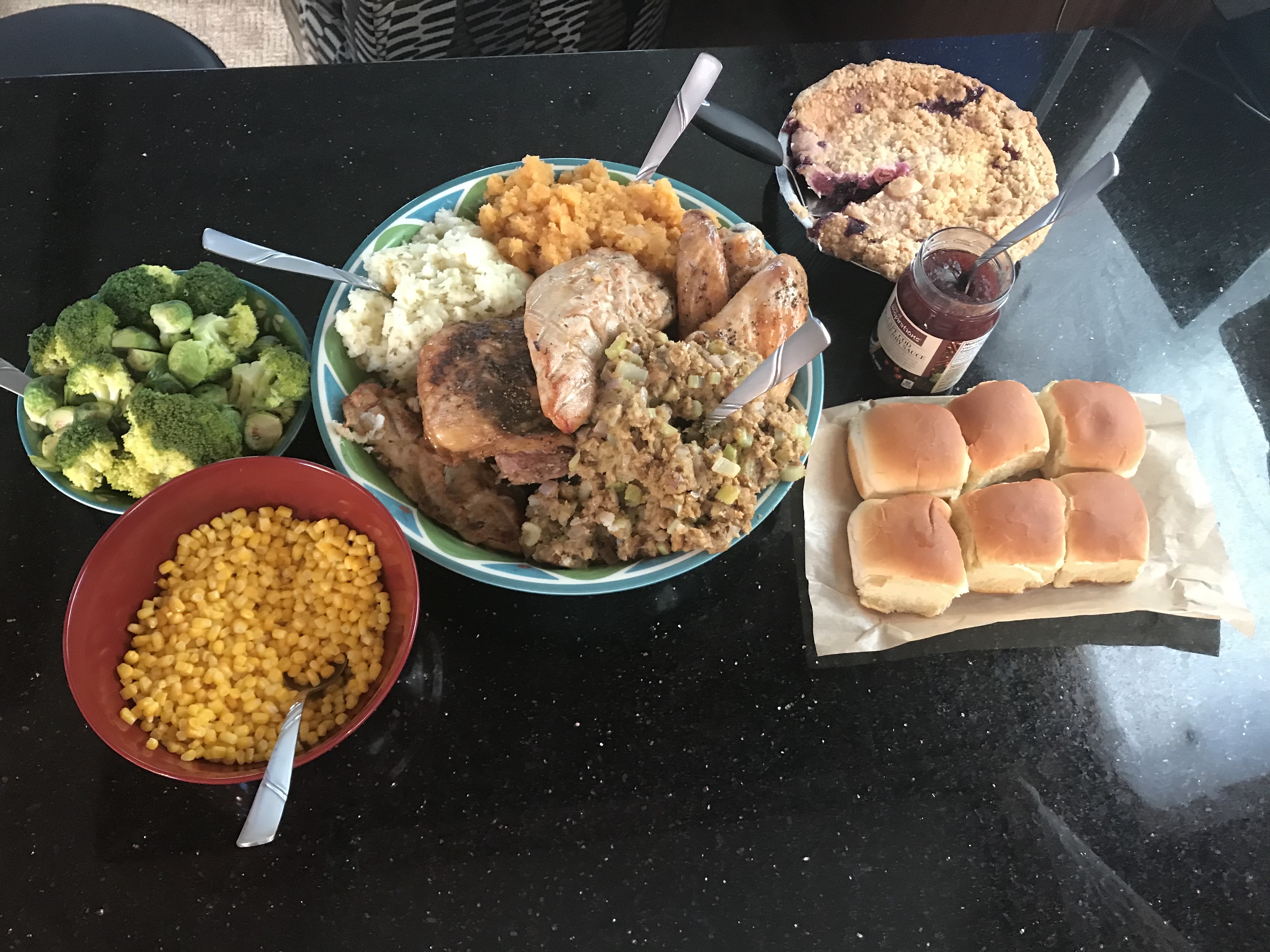
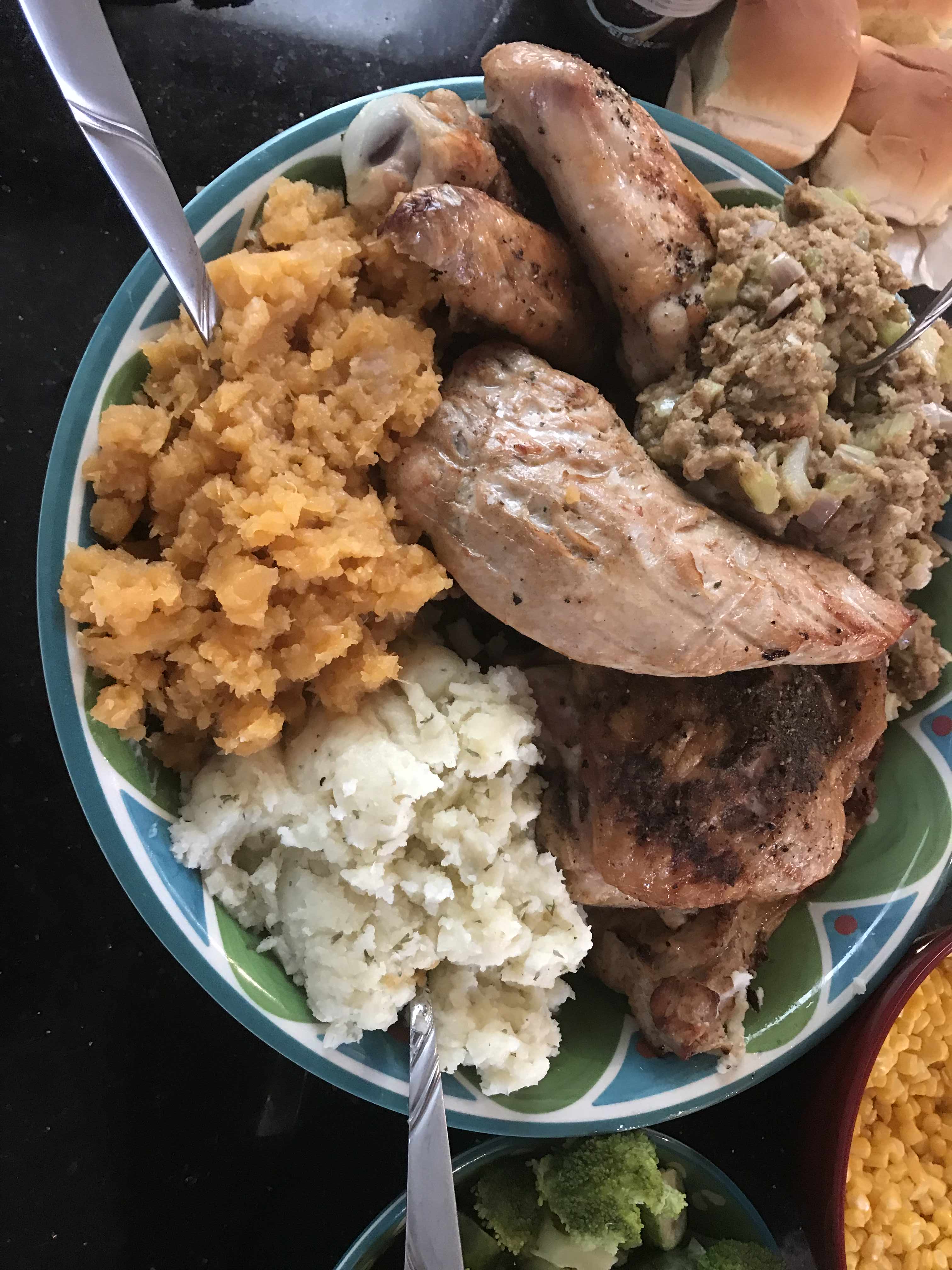
We spent Thanksgiving at Top Rack Marian. Kelly used InstaCart grocery delivery service to order everything that she needed and whipped up an amazing turkey dinner. This woman has skills :-).
All the Fix’ins
Yumm
Pie at the helm while underway
Saloon cleaned up after T-Day dinner.
We left Top Rack Marina after sharing an amazing Thanksgiving aboard. However, the temps were dipping into the 30’s at night and we needed to go South as fast as possible.
Leaving Top Rack Marina
a mile or two South down the ICW is the Great Bridge Lock. The water level only drops 2-3 ft so it’s pretty gentle as far as river locks go. However, the ICW (InterCoastal Waterway) is a federal commerce waterway and that means that it’s there for commercial boats first and pleasure boaters second. We had a stand aside while the lock tender let this huge tug and barge in ahead of us.
Tug & Barge
They asked us if we felt comfortable trying to squeeze past the tug n barge to get ahead of it in the lock. Challenge accepted.
Then it was through the “normally open except for when a train is a coming” bridge.
If a train comes and it starts a lower.. push the throttle to the pins 😉
Not long after that we were passing Coinjock Marina in NC. This is normally our stopping point for the night but the winds were going to increase early in the AM so we decided to anchor just before our Albemarle Sound crossing. On our way to our anchorage we heard a sailboat on the VHF hailing TowBoatUS to come pull them out of the shallows. It was 1.5 hours before low tide so it was only going to get worse.
This boat had wandered outside of the narrow channel and run aground
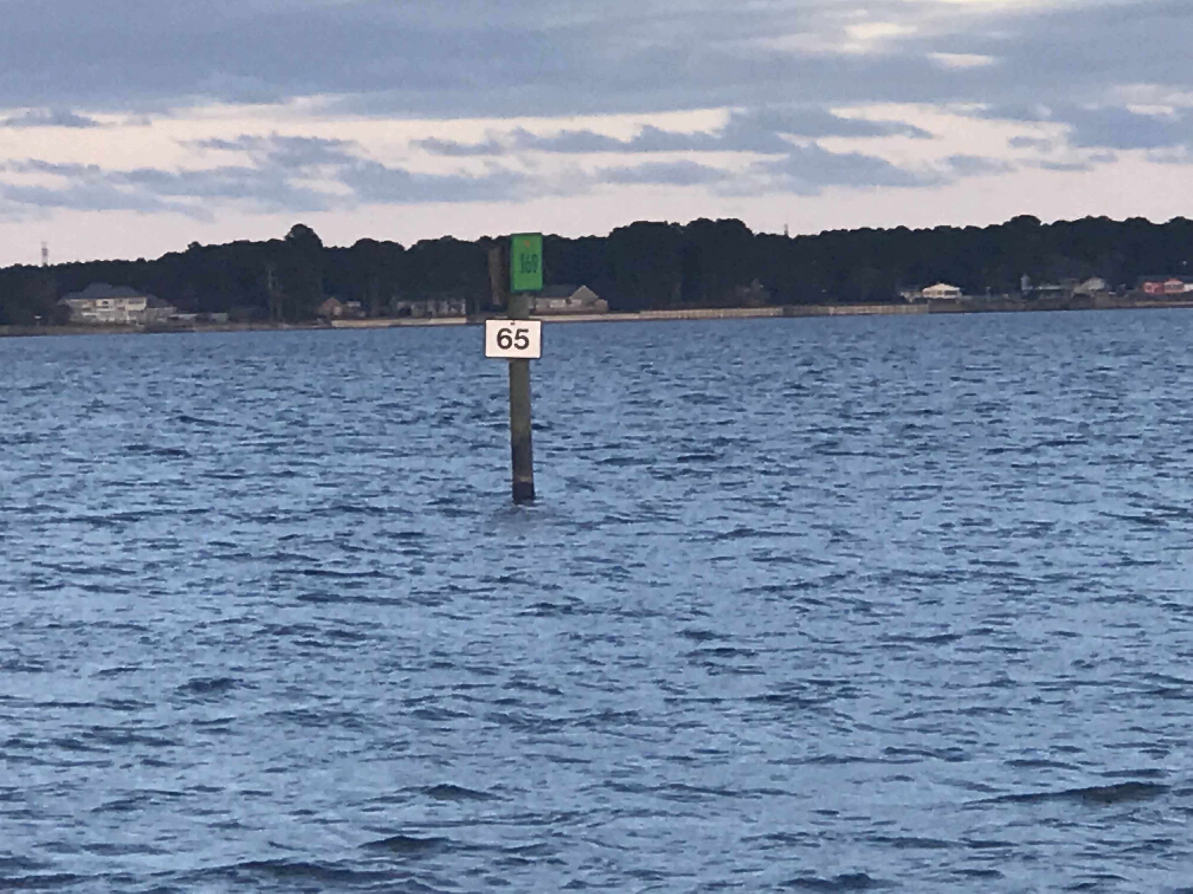
Soon we were passing ICW mile markers 55 & 65 and approaching our anchorage for the night.
I did one last check to see if the weather forecast had changed and … it had.
The strong winds were going to come before sunrise so Kelly & I decided do a nighttime crossing of Albemarle sound and anchor in the Alligator River rather than have a lumpy crossing in the AM.
Just before the sun went down we snapped one more photo.
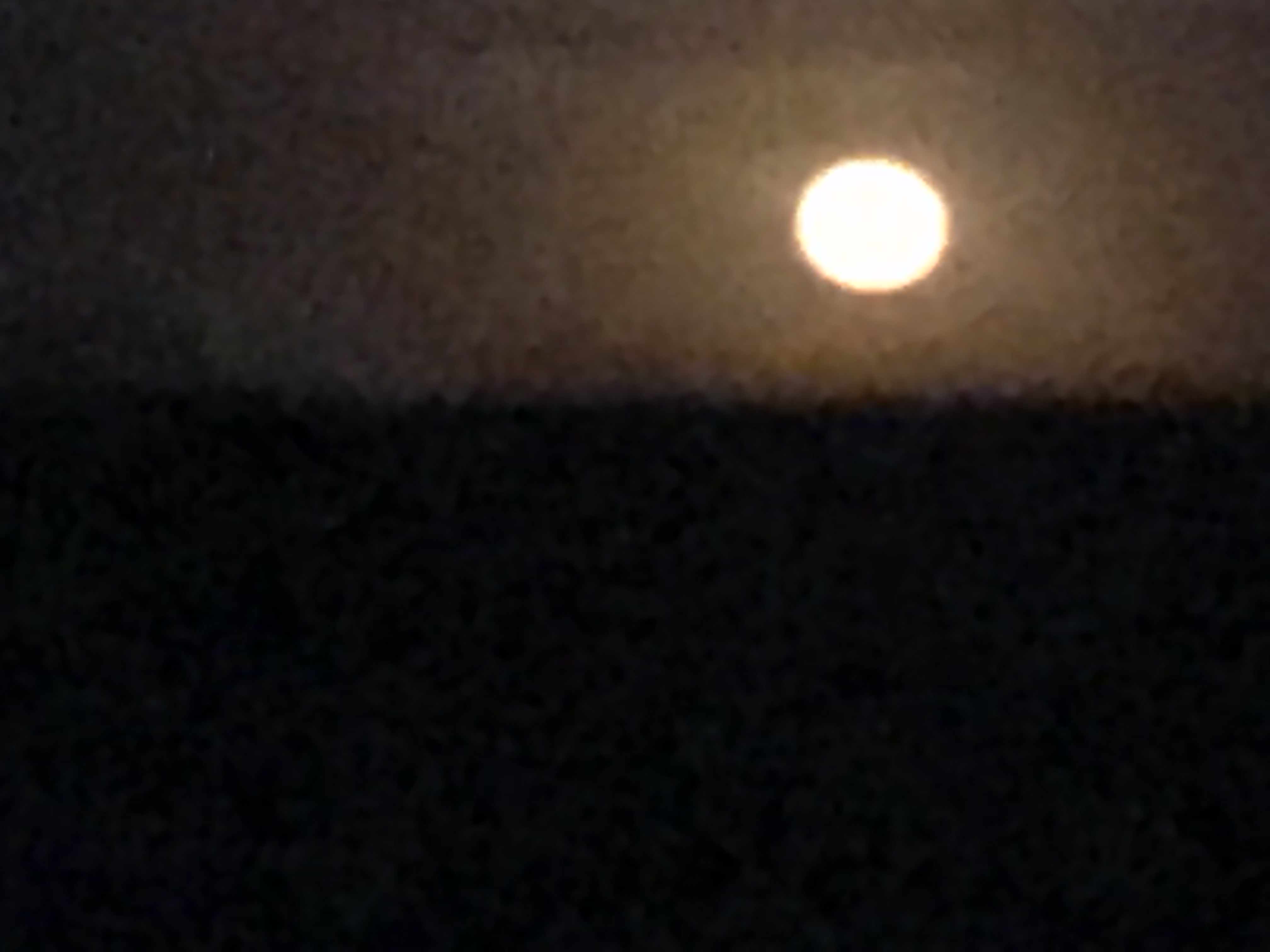
The full moon came up but we were not running into it but away from it. I always prefer to run down the moonstreak as it helps me spot crap pot floats before we run them over and wrap the line around our propeller.
Full Moon
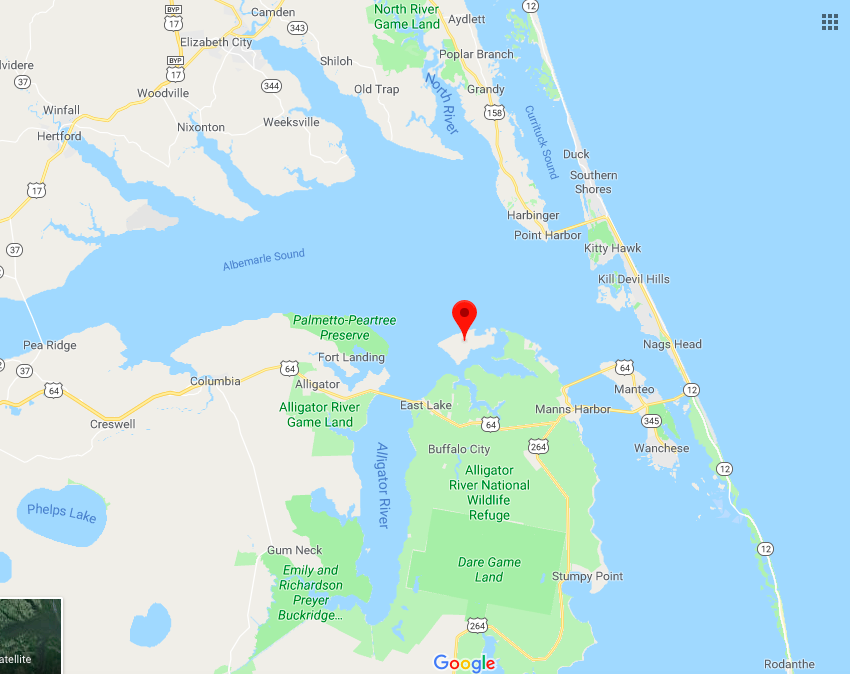
The crossing was a bit lumpy but we picked a spot to anchor behind Durant Island that would give us a lee shore. Tonight we will sleep well and get plan for a sunrise departure before the wind starts to whip in the AM.
Anchored Behind Durant Island (red marker)
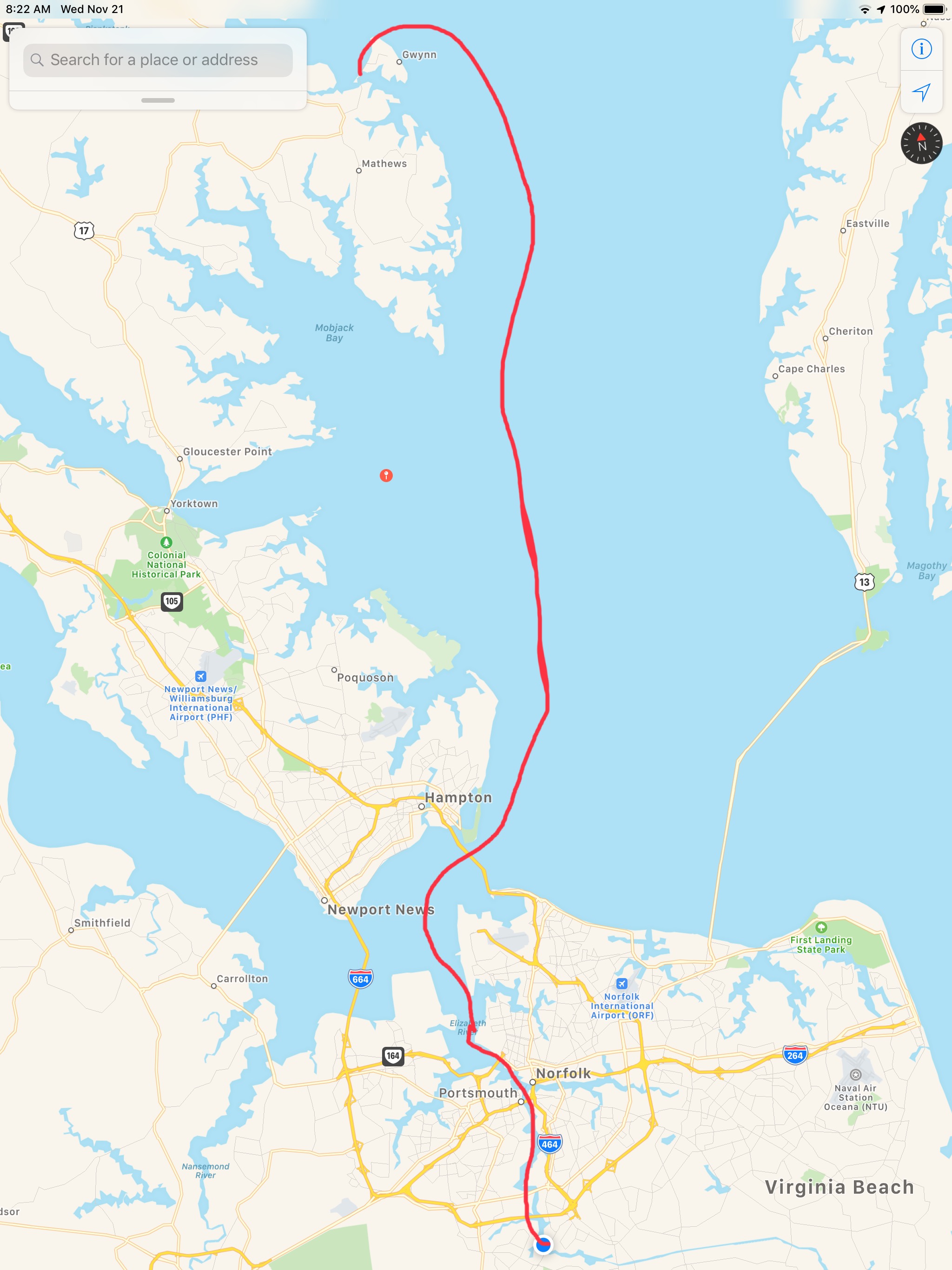
Today’s leg was 70 NM from Chesapeake, VA to Durant Island, NC. This year we agreed to throttle-back to somewhere in the 6 knot range and stay in the 3 NM / gallon diesel range. We conservatively plan to make 50 NM / day. That’s 10 hours of daylight x 6 kts minus time weighing / dropping anchor and waiting for bridges to open.
Apple Maps Screen Capture with Finger Drawn Route – A Close Approximation
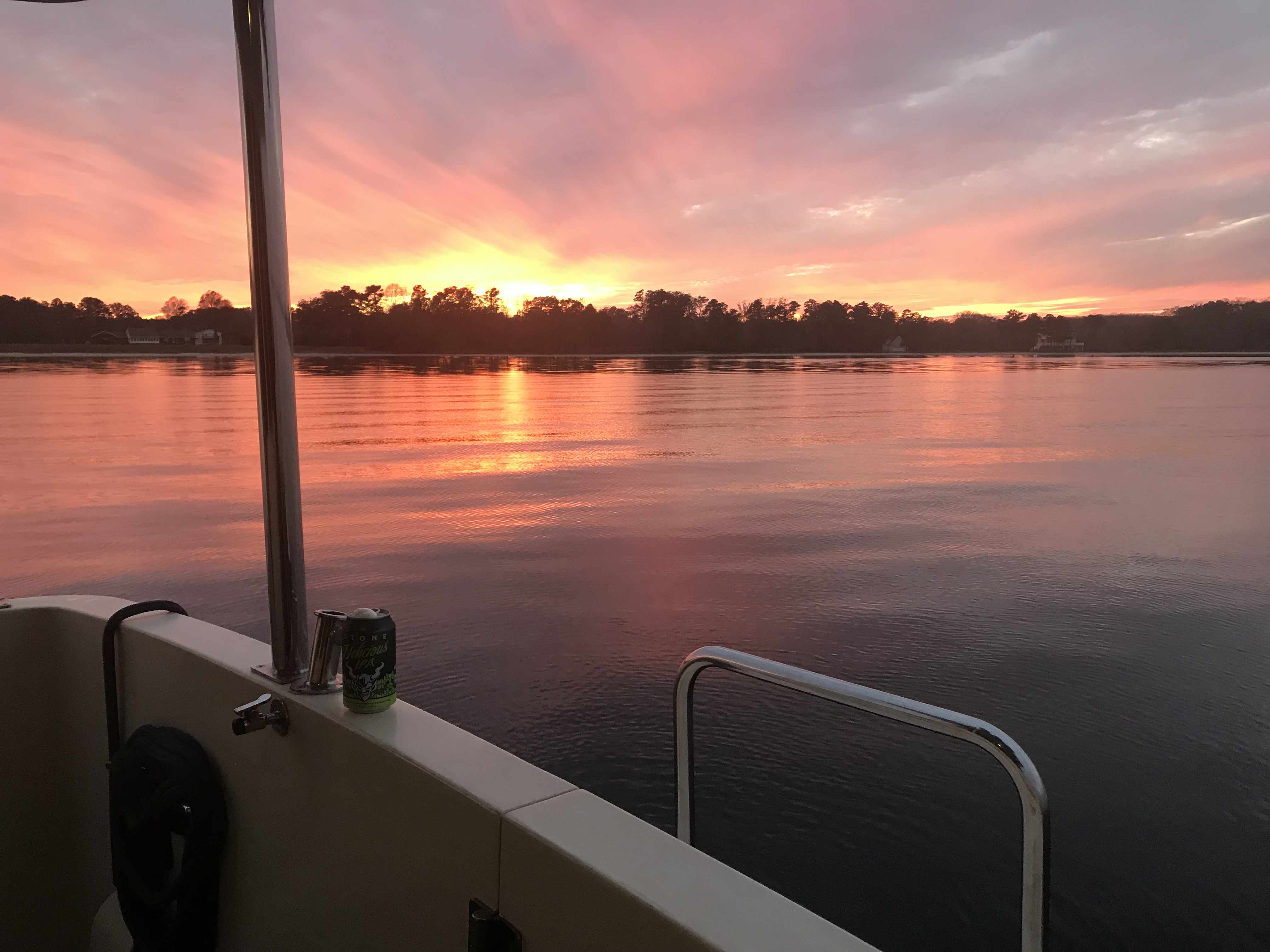
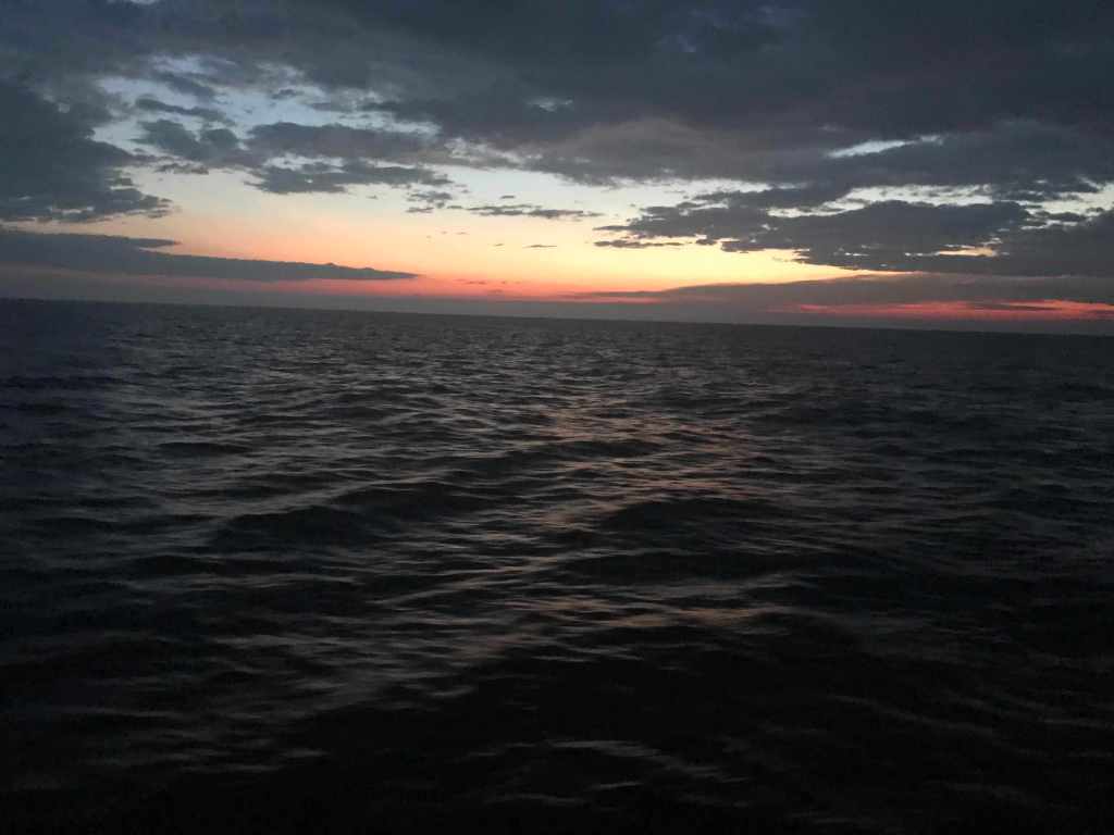
The sunset before we went to bed was beautiful in Godfrey Bay
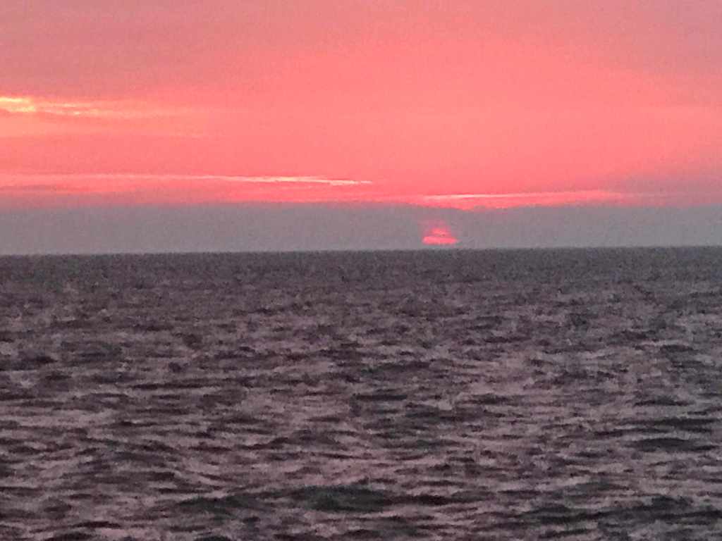
Sunrise in Godfrey Bay, VA
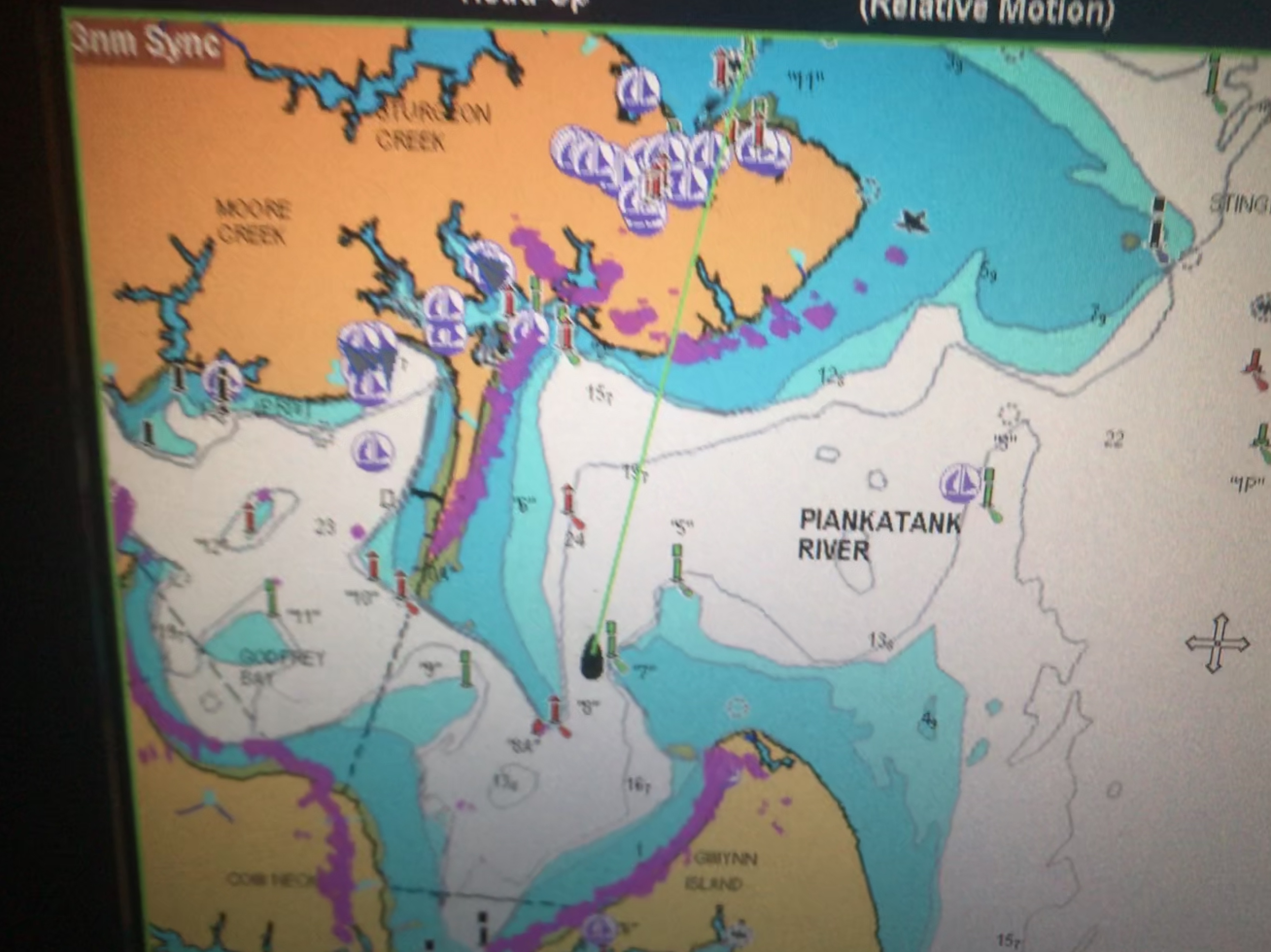
We had woken up at 4AM and decided to get underway. It was pitch black but I wanted to arrive at Top Rack Marina before they closed without having to burn more than 2.5 gals/hour. So as we twisted and turned our way out of the Piankatank River we had to rely on the lighted buoys and cans. Recall that buoys or “nuns” are red, even numbered and have pointy “nun hat” tops, cans are green cylinders with odd numbers and flat tops.
MV Simple Life in the center passed Red lighted beacon #8 and approaching Green lighted beacon #7Directly above the red beacon light you can see Venus. I think the halo effect making it look even bigger in the photo
As we headed East the planet Venus was brilliantly lit up and acting as a perfect aiming target to stay on course. We were slipping our way past shoals and straight into Venus.
At times I would run with the searchlight lit to attempt to view and steer around crab pots and unlit fish weirs. This is the hazard of running at night that you can wrap a crab pot line around your propeller or become ensnared in a fish weir.
I have a project to install LED lights under the bow to light crab pots without reflecting off the foredeck
Two hours passed and first light was upon us. Sunrise was a coming…
6:04AM – First Light
6:19AM
6:47AM
6:50AM Sun Peaking Above the Horizon
6:52AM
6:54AM
Danger Area… If you go to lower zoom levels to see what chart note is attached to the Danger Area you only get an annoying note that says to read NOAA’s US Coast Pilot Vol #3. That’s not very helpful as I used to keep all the Coast Pilot books printed and stored aboard but I found that I was using the online versions linked above.
Danger Area, Why? Have to look in the US Coast Pilot Vol #2
Coast Pilot is a FREE, online pdf, navigation book published by NOAA.
Coast PIlot 3
Chapters vs. Areas Covered
It’s a lot like the Maptech Embassy or Waterway Guide books that I used when I first started boating.
2018 $45
Also $45
The trip down to the mouth of the Chesapeake Bay was easy smooth going.
However, as we approached the inlet to Norfolk, VA the current was quickly ebbing.
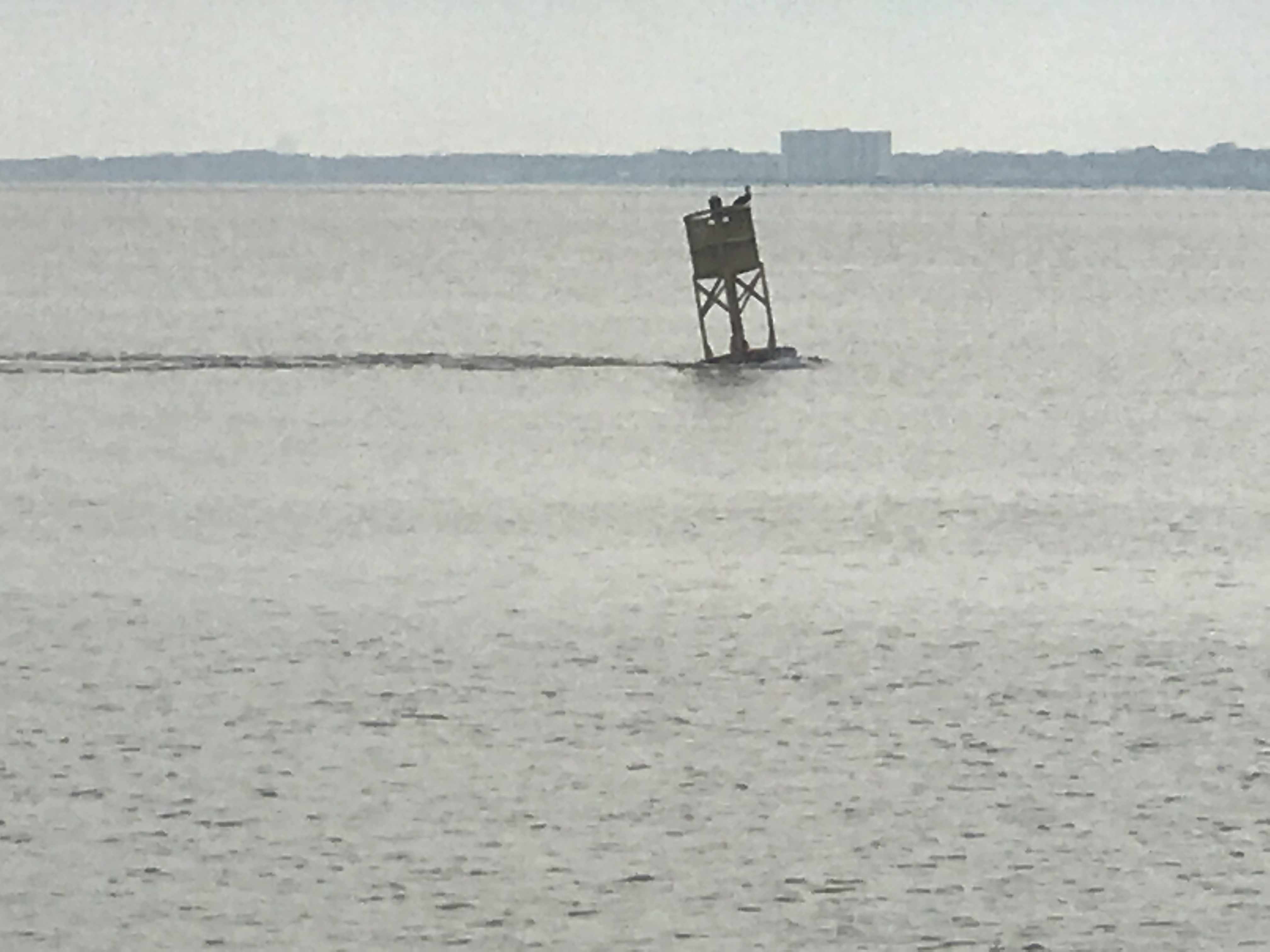
Green Marker being pushed over by current
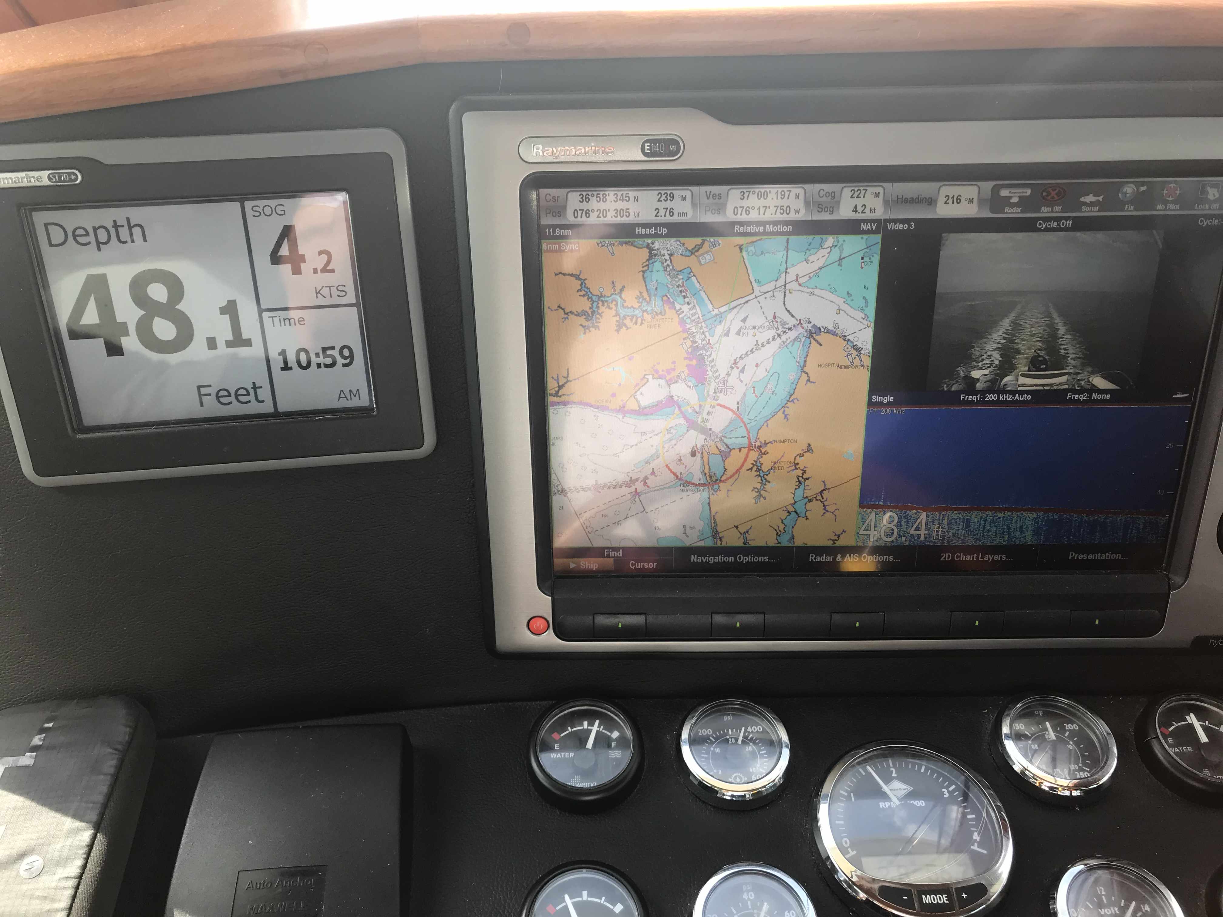
Speed dropped from 6kts to only 4.2kts
It necks down going into Norfolk, VA
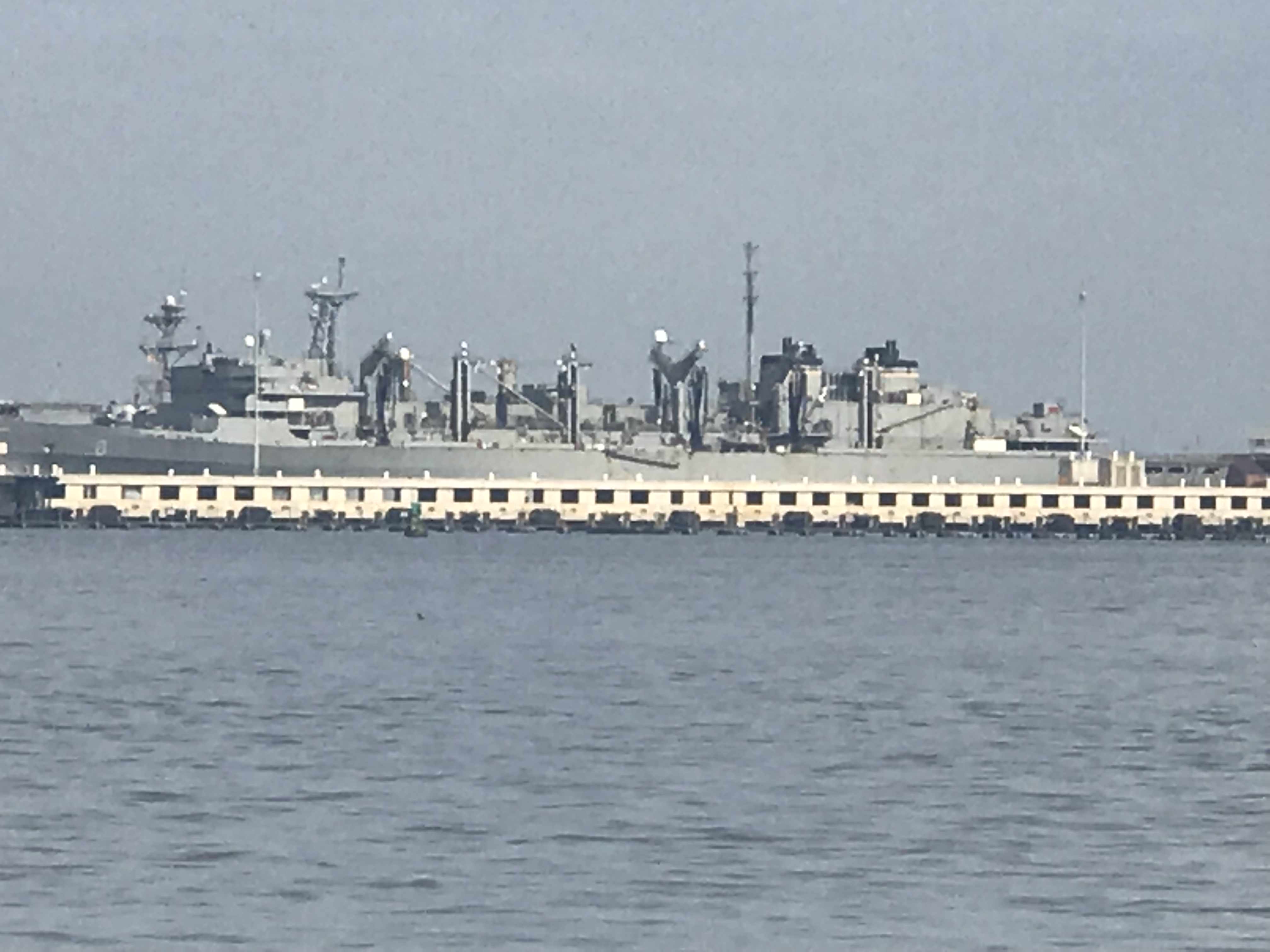
Soon we were surrounded by military gun boats and helicopters buzzing overhead. On the VHF you can hear Virginia Pilots calling ships preparing to enter the harbor. They are landing on a cargo ship via helicopter for inspection of the vessel. All hatches must be open except the one the helicopter is landing on. Specific instructions were given not to have crew approach the helicopter on landing.
Warships were everywhere to see in port but we let those boys do their work and stay clear of them.
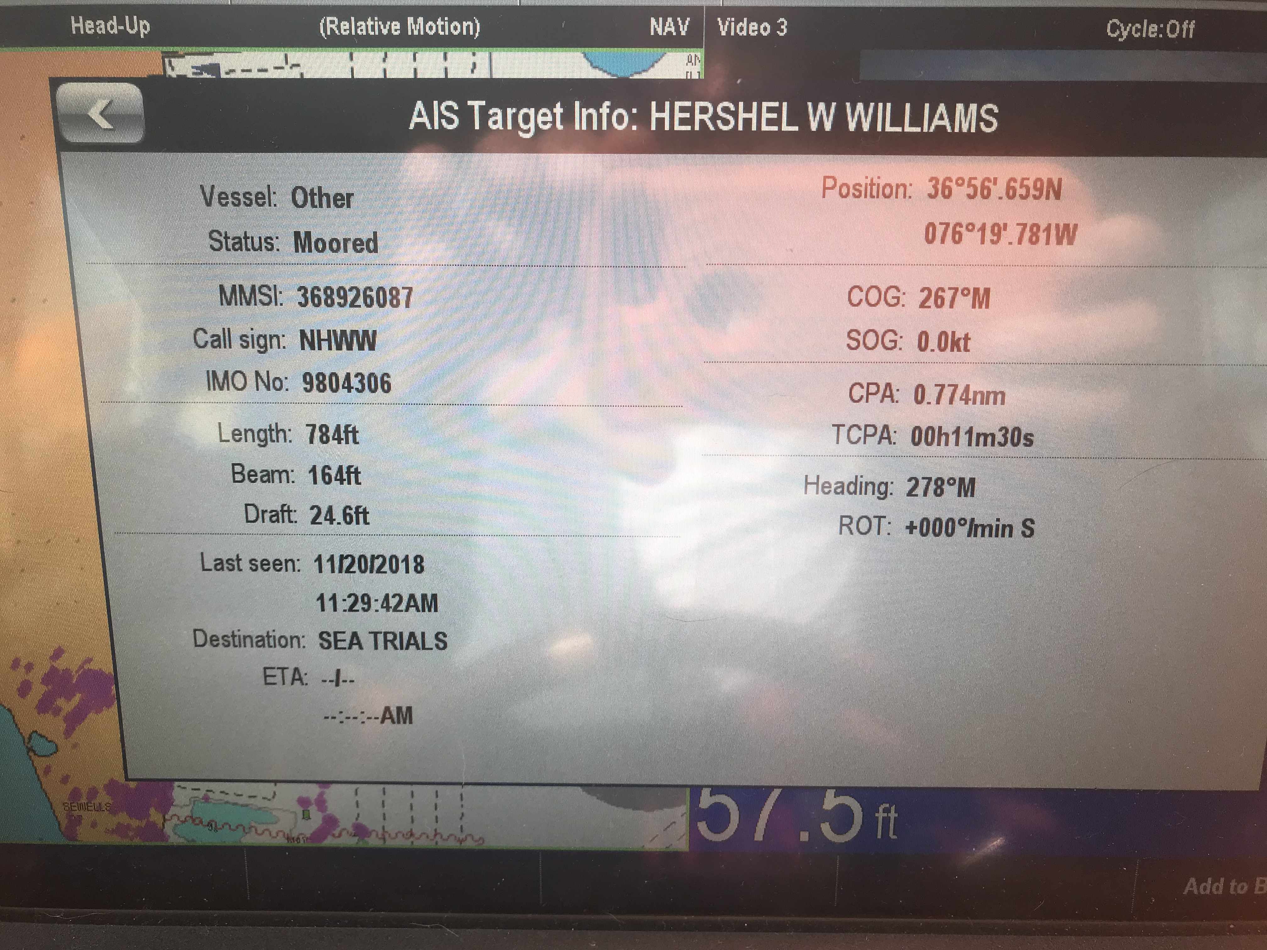
If you click on any of the AIS targets they come up as “military” or “US Govt”
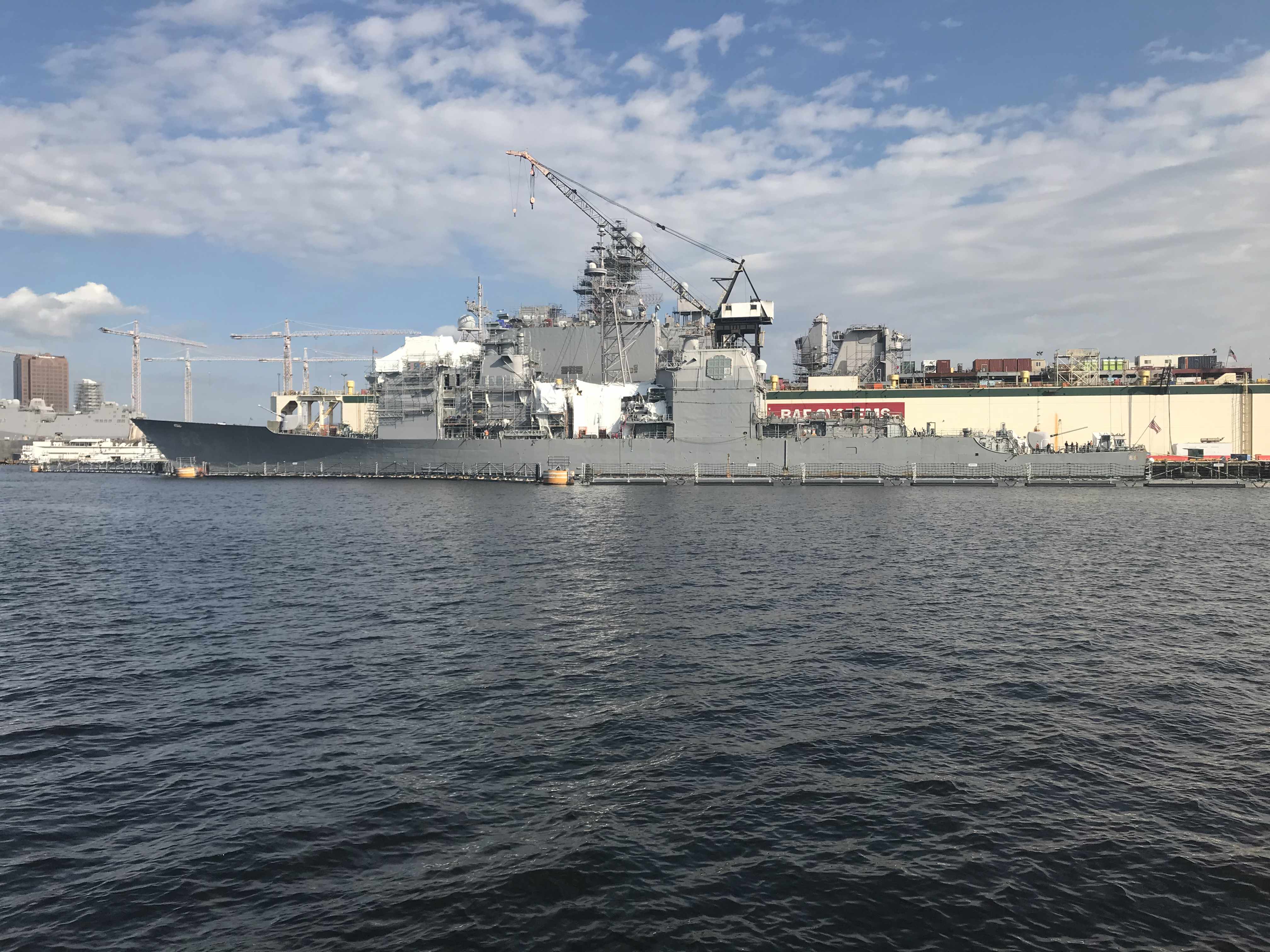
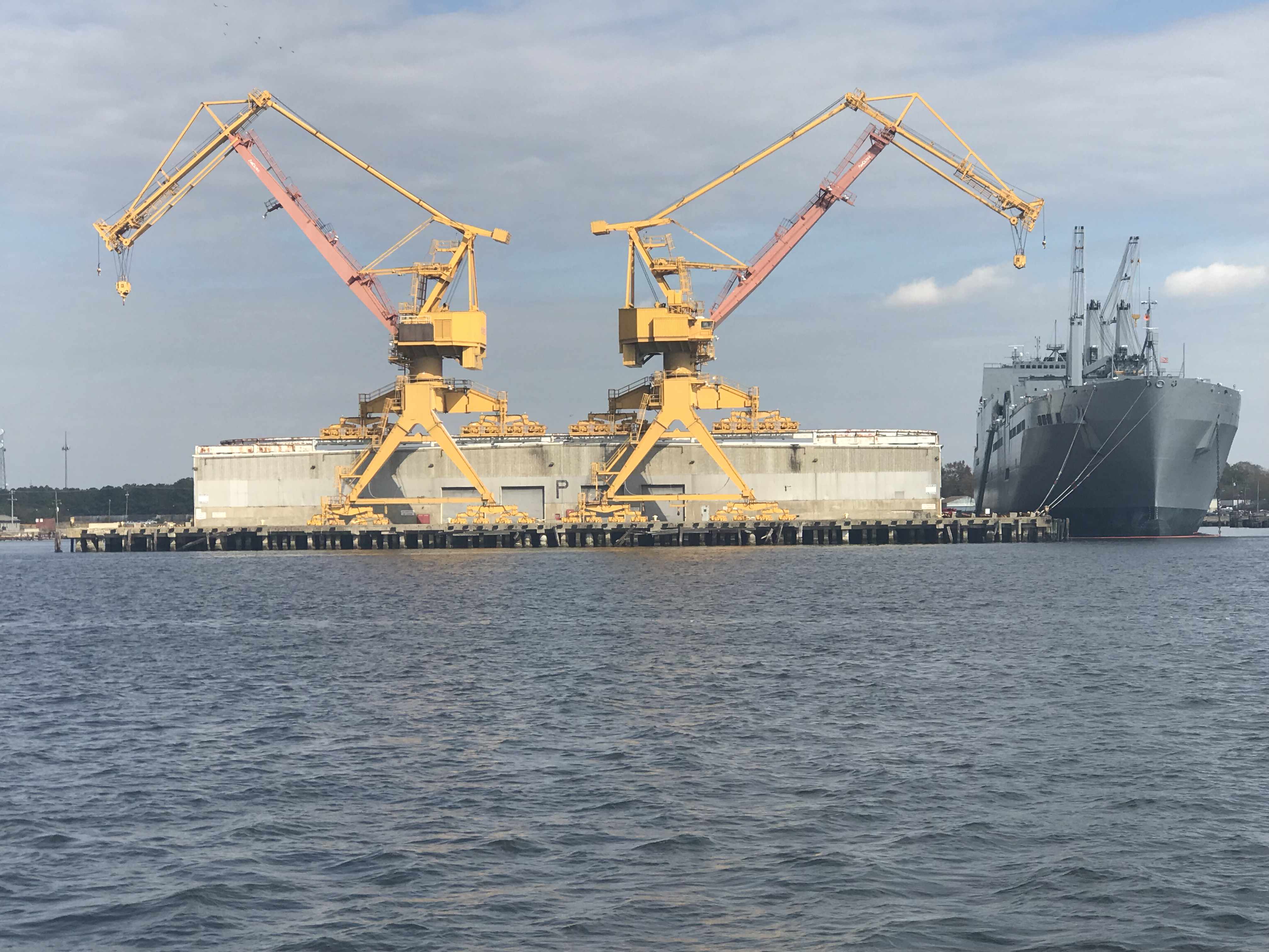
The shipyard has some amazing mega-sized structures.
it’s looks like it climbed onto the building
As you proceed further down the Elizabeth River you are reminded that much of what’s on the shore is off-limits to anyone other than the US Government and military.
Watch Tower
Keep Out
Floating Gate Barrier
Navy Police gave me a 2 whistle pass rather than a 1 whistle so as to keep us away from the shore
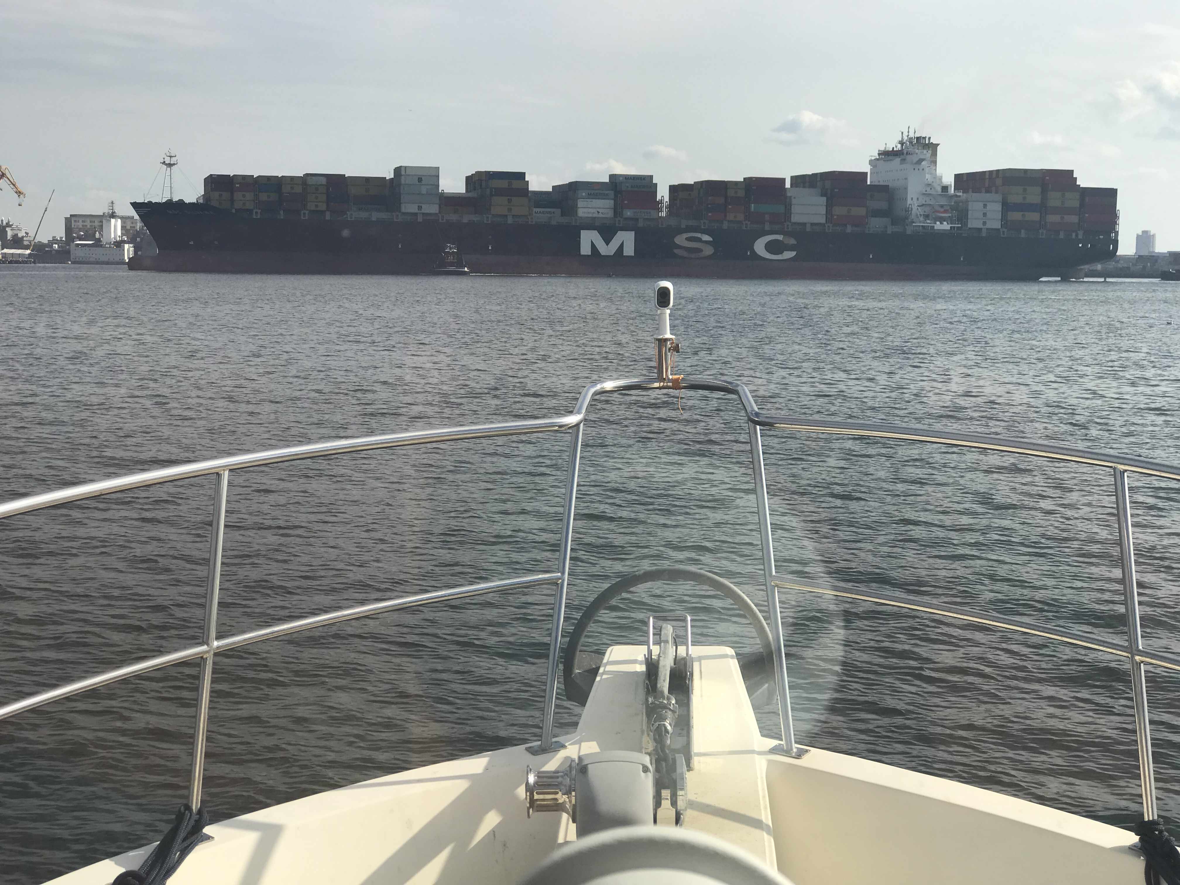
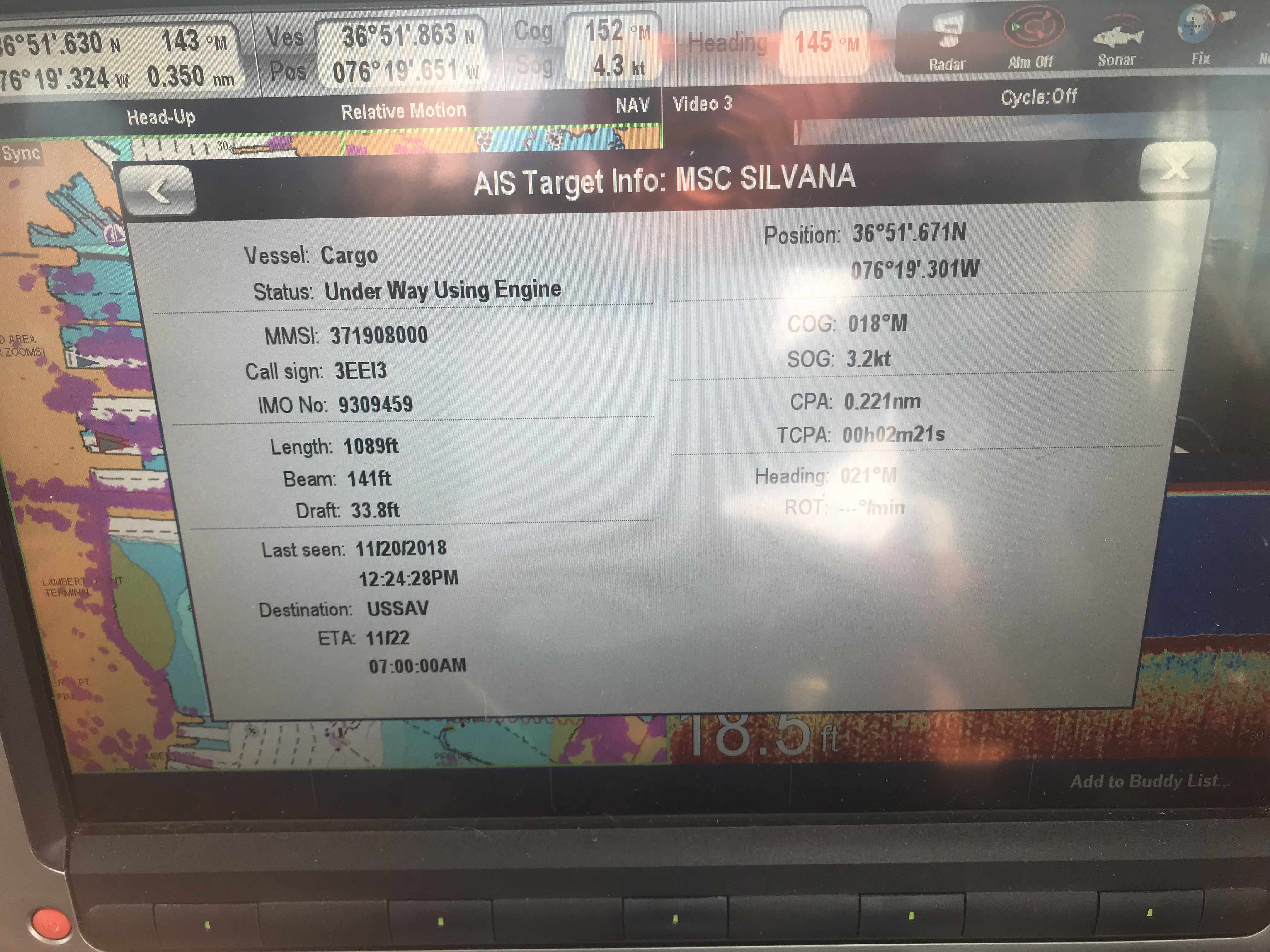
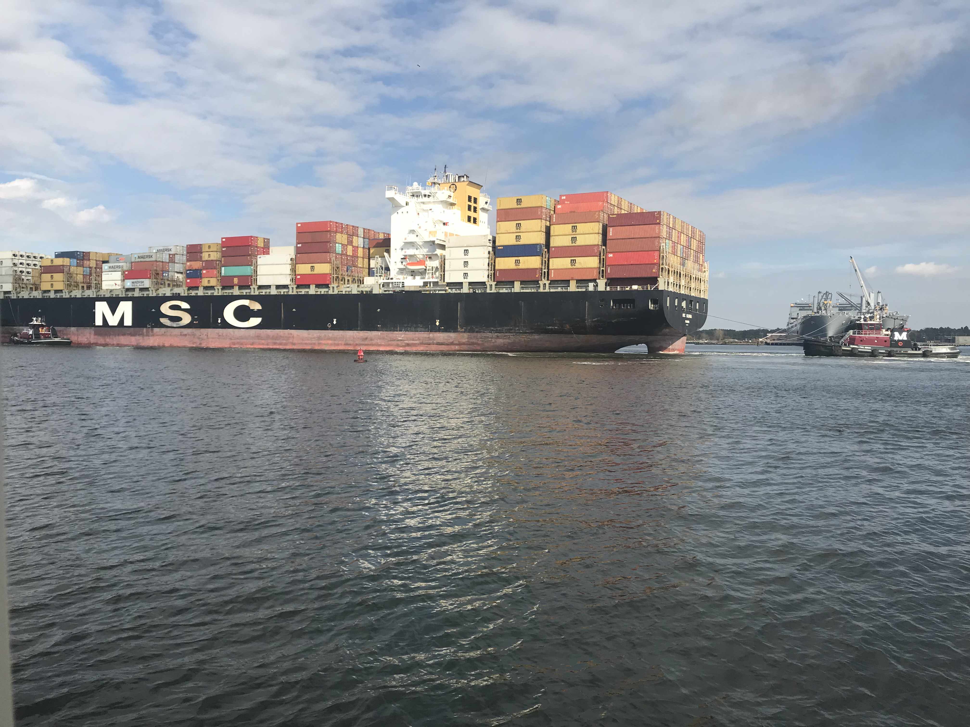
At one point in our journey down the channel I noticed that the gigantic MSC Silvana container ship had black diesel smoke coming out of it’s stack. OMG. it’s underway and blocking the entire channel!
Soon we were passing this lifeboat that looked like it had lost it’s ship. These fellows were just riding around in the life boat. Maybe they are on shore leave and wanted find a restaurant 😉
I Totally WANT one of these
I just think these are the coolest. I’m jealous of this woman getting to launch one of these free-fall lifeboats.
People often ask us how cheap can you live aboard? It’s a great question and the answer is “it depends”. It depends on the life-style you want to live. Sometimes we hit marinas and restaurants every day and money seems to disappear. However, other times we spend cruising on anchor every night and spend nothing but diesel. We left Warwick, RI on Sunday, Nov 11th at around 3PM. It’s now 10 days later, Nov 21st we are at Top Rack Marina in Chesapeake, VA. Being a fan of science I believe people would rather see a data-driven answer where they can draw their own conclusion. If we “Do the Math”.
We have completed 9 legs of our journey over 10 days.
We put 89 Hours on the diesel
86 hours / 8 legs = 10.75 hours a leg. (skipping the first short 3 hour day)
10 hours on the genset (4 because I forgot to shut it off while underway)
$242 on 2 nights dinner & drinks (I don’t recall getting back to the boat on 1 of them)


You must be logged in to post a comment.