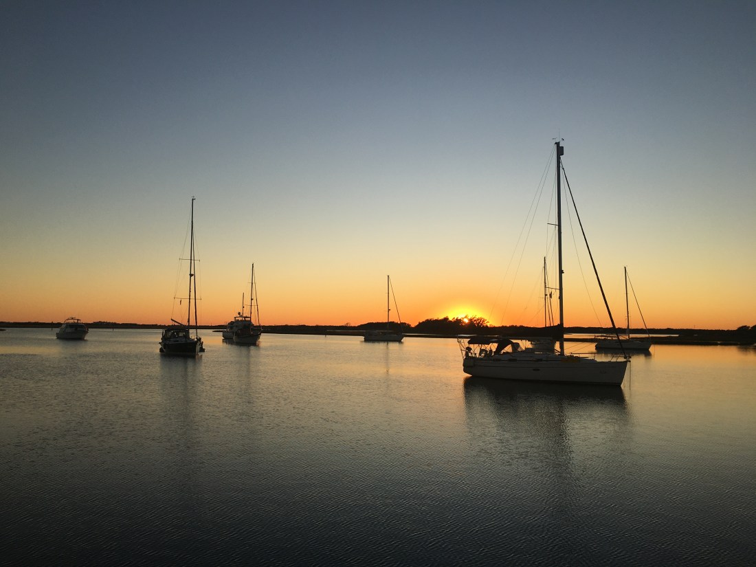
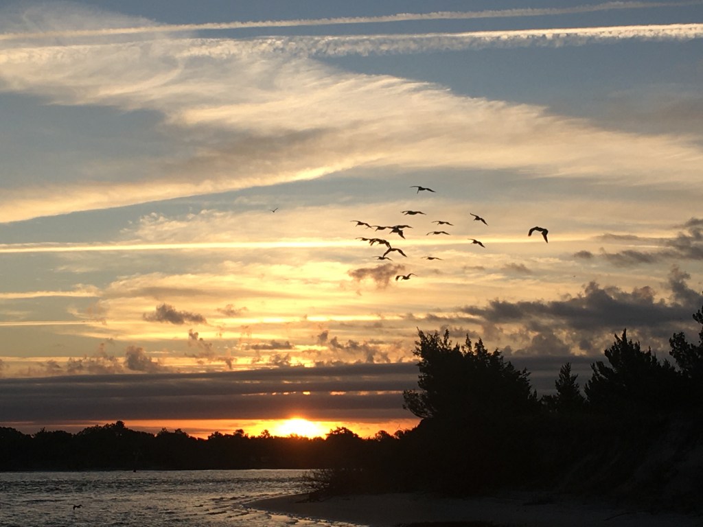
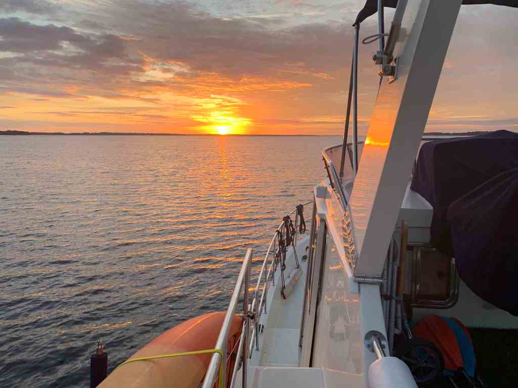
Orange in the AM
Sunrises in the low lands of Georgia are amazing.

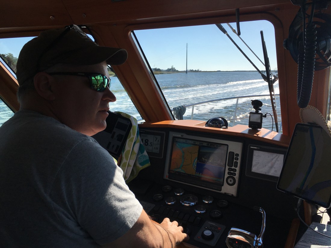
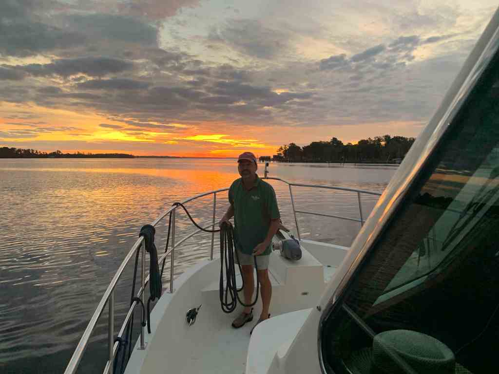
Get Up You Lazy Captain!
If you read the last post, I wrote about how 50 NM / day can be done but you have to get an early start. Well, I didn’t.

Tortoise and the Hare
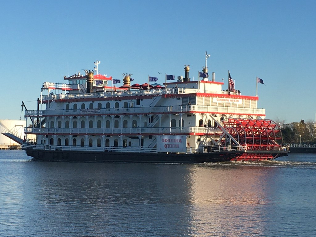
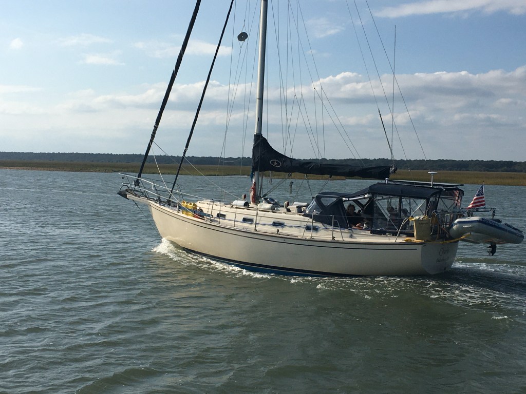
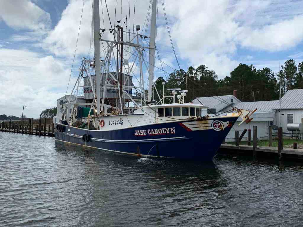
Right of the bat I had a much faster boat pass me by. I’m sure he gets his 50NM in before noon.

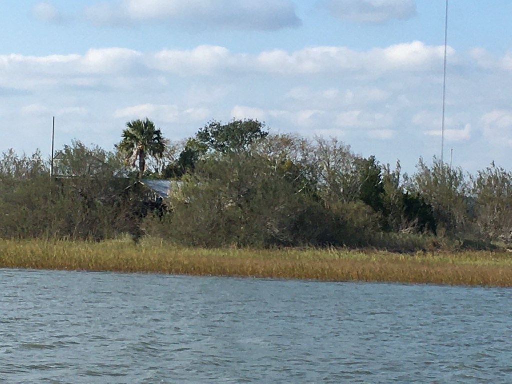
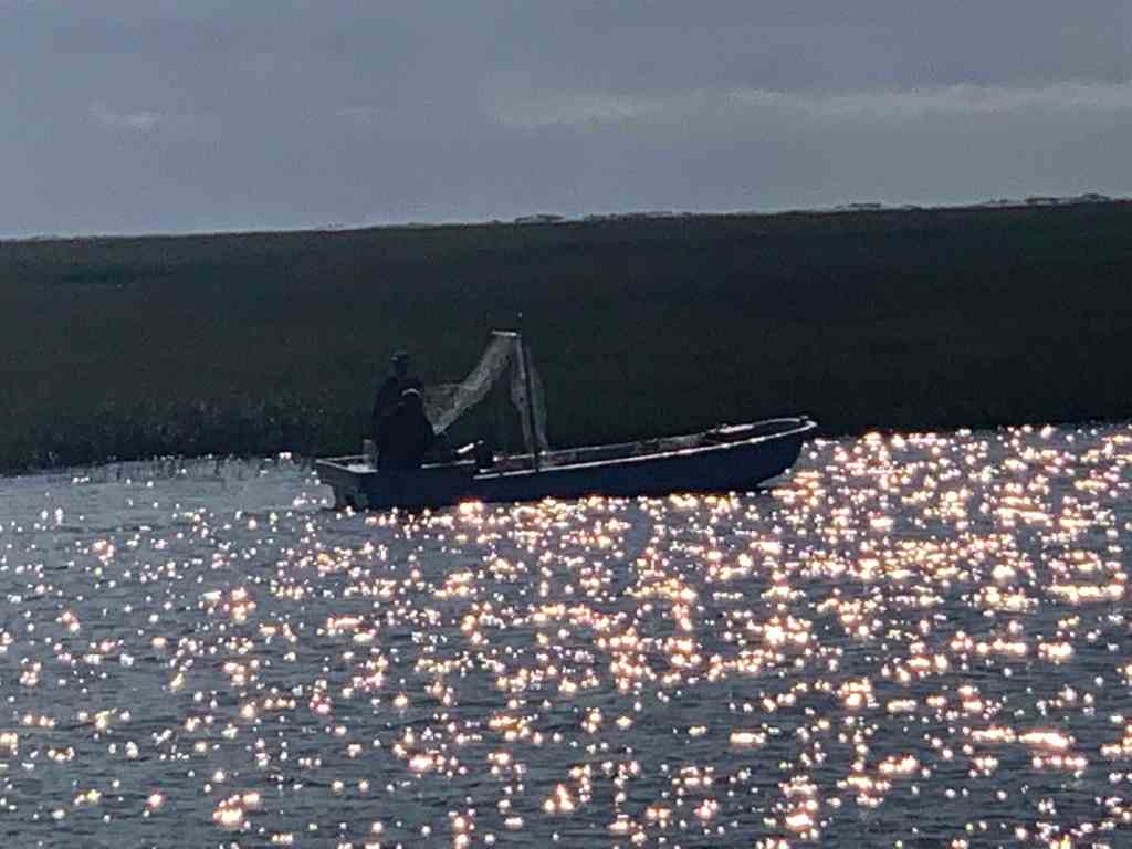
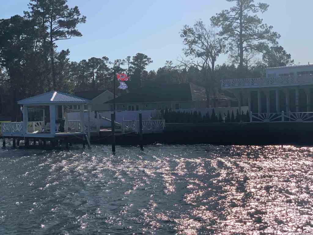
Anyone Home?
I found this home on a small island interesting as I passed.
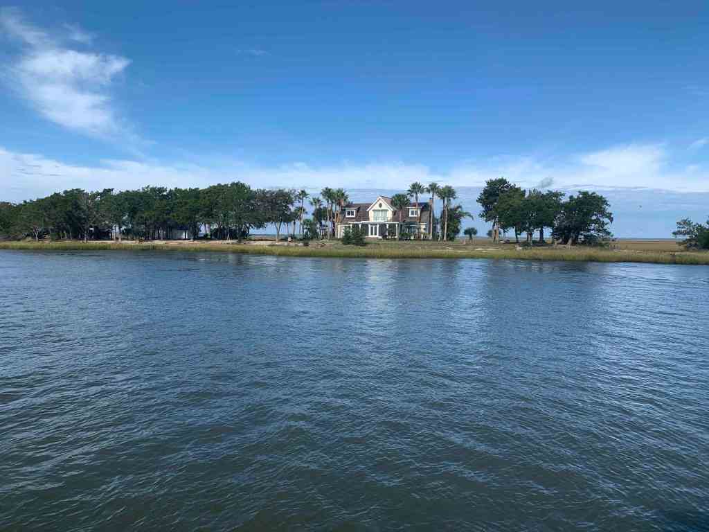
House on a Small Island 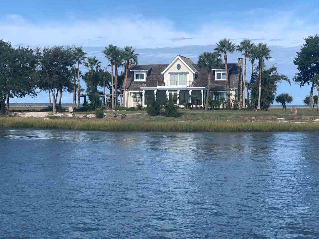
House Close Up
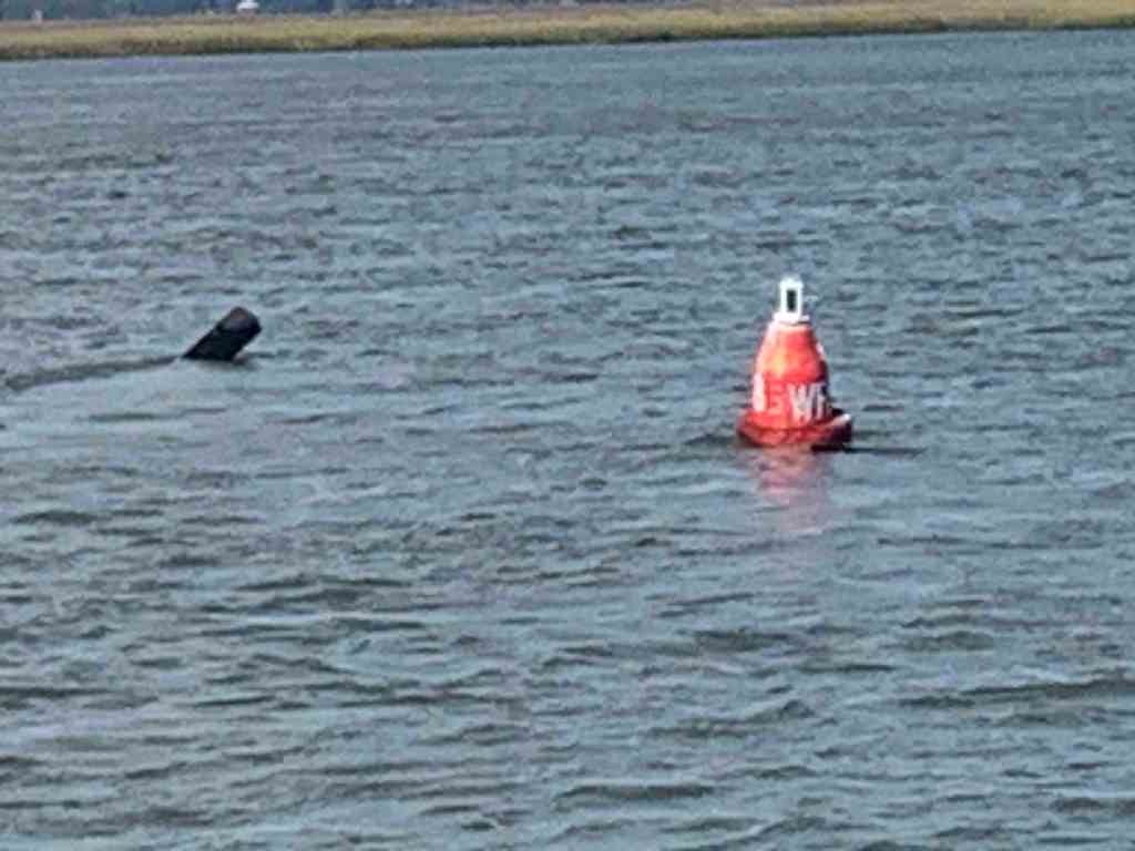
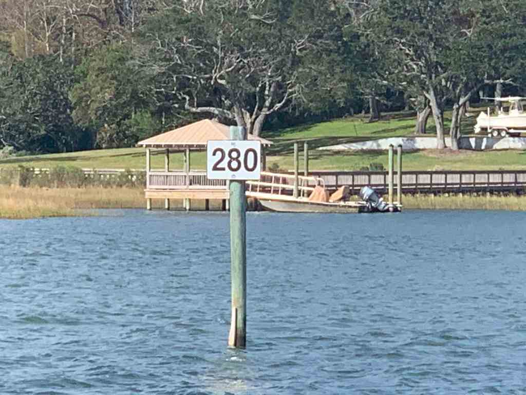
ATONs
ATONs (Aids TO Navigation) or buoys if you will, are important things to pay attention to on the ICW.
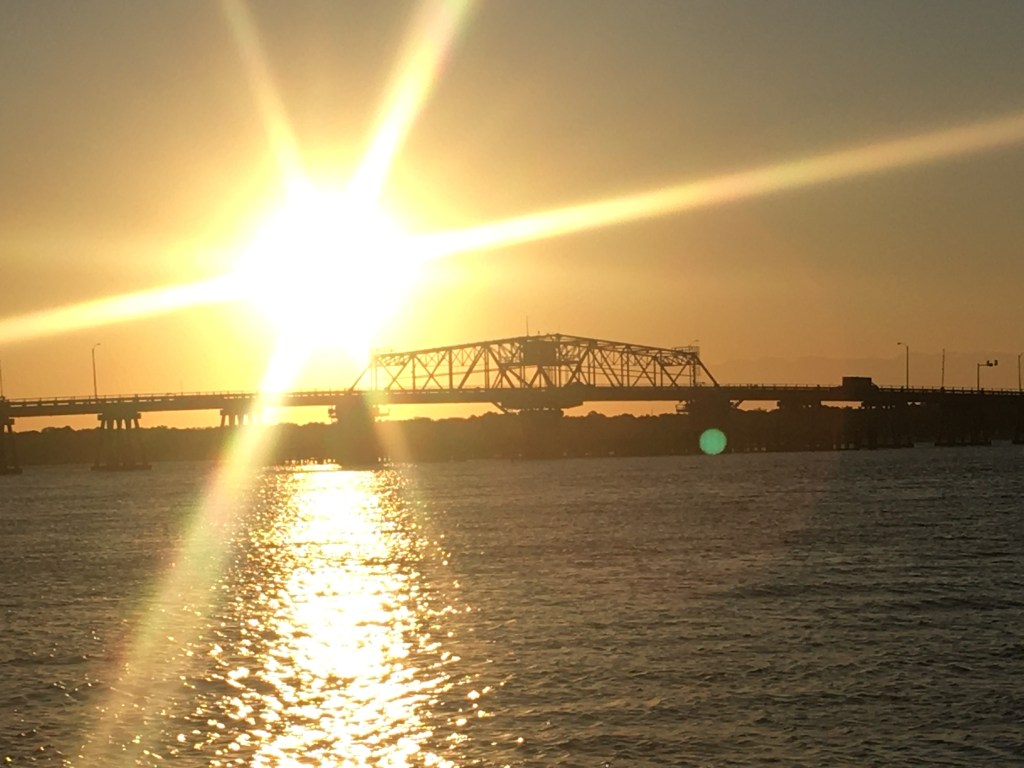
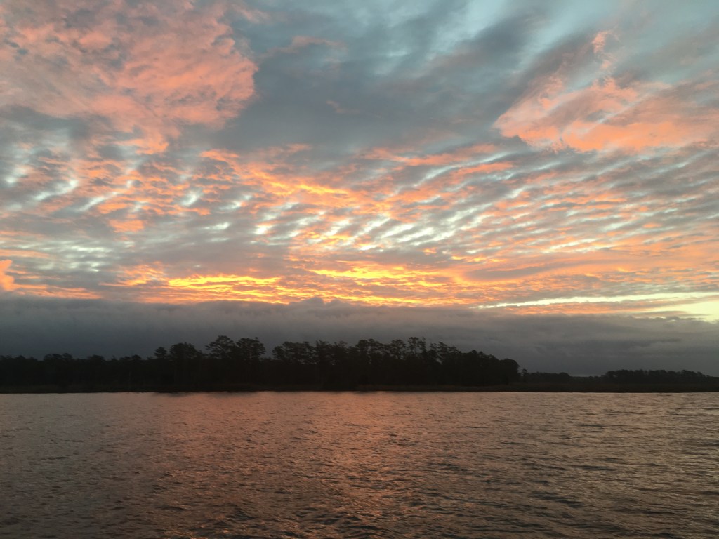
World is Ablaze
As I was approaching Brunswick, GA it looked like the world was burning.

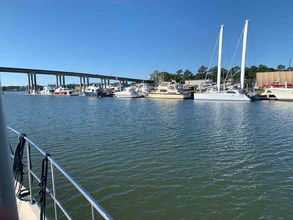
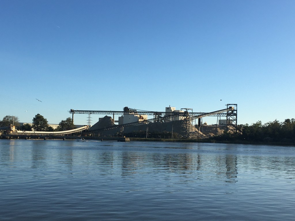
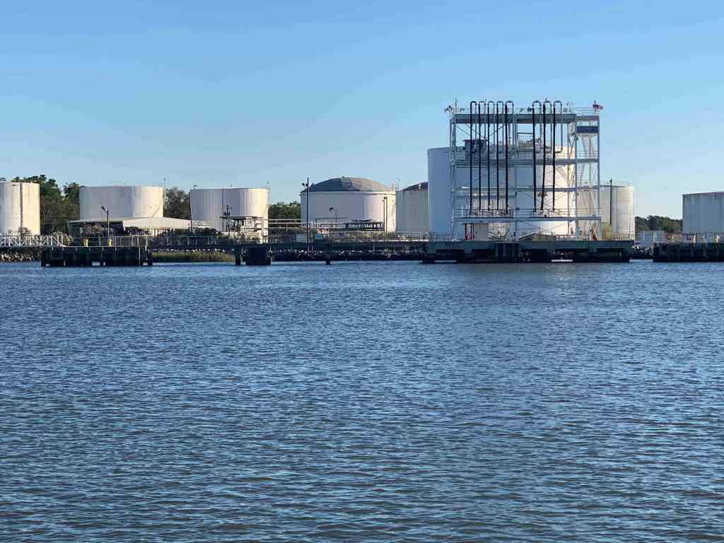
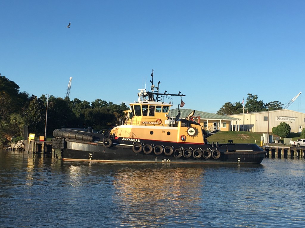
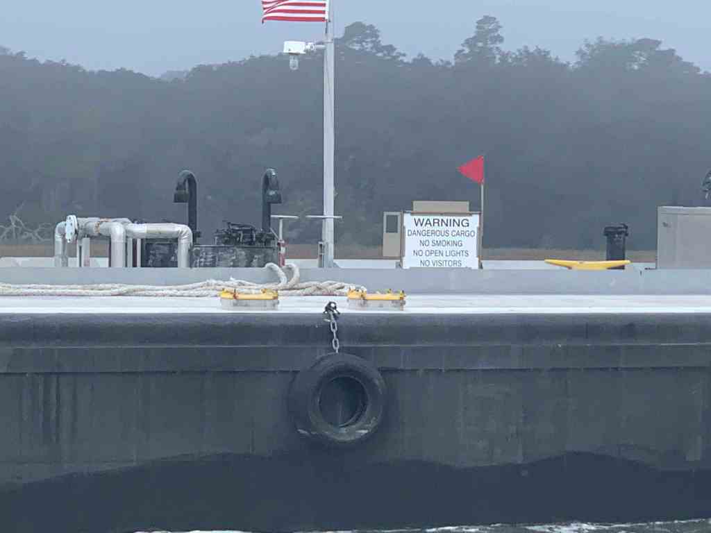
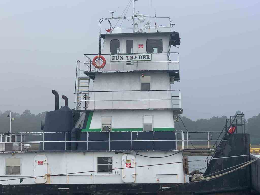
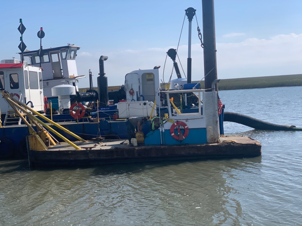
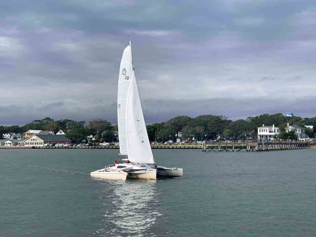
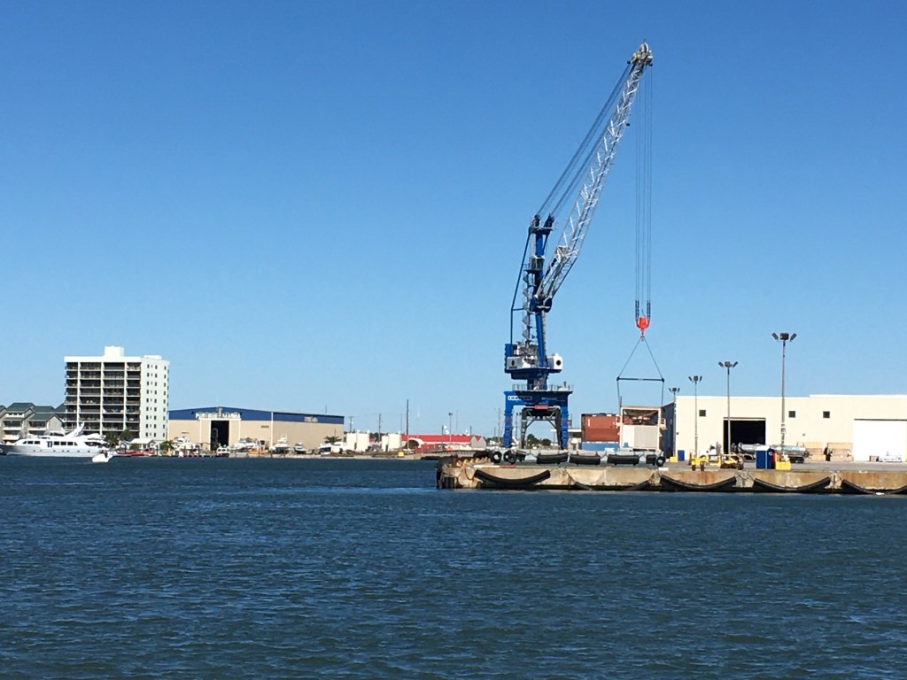
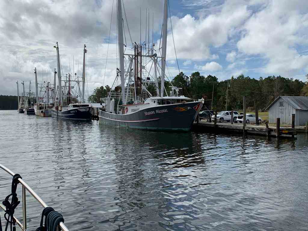
Traffic
I hailed this tug & barge on the VHF and let him know that I would push over to the edge of the channel as soon as I rounded a narrow bend in the river.

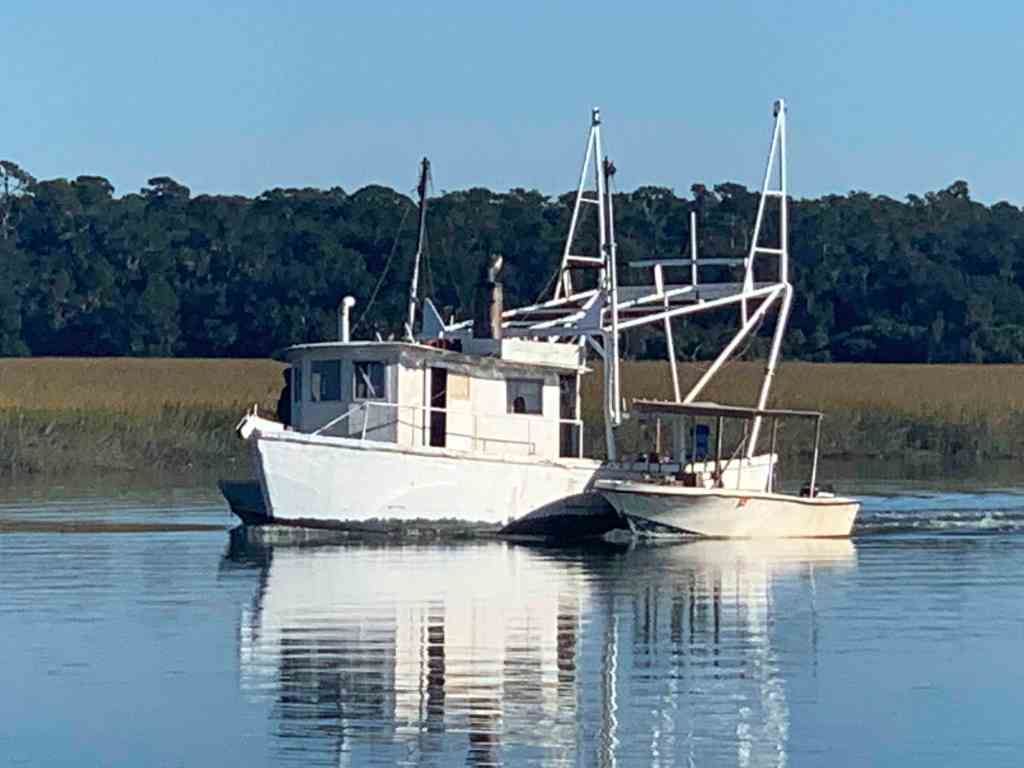
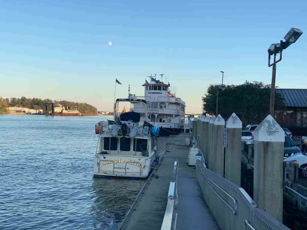
Tug & Barge 
T&B Close Up
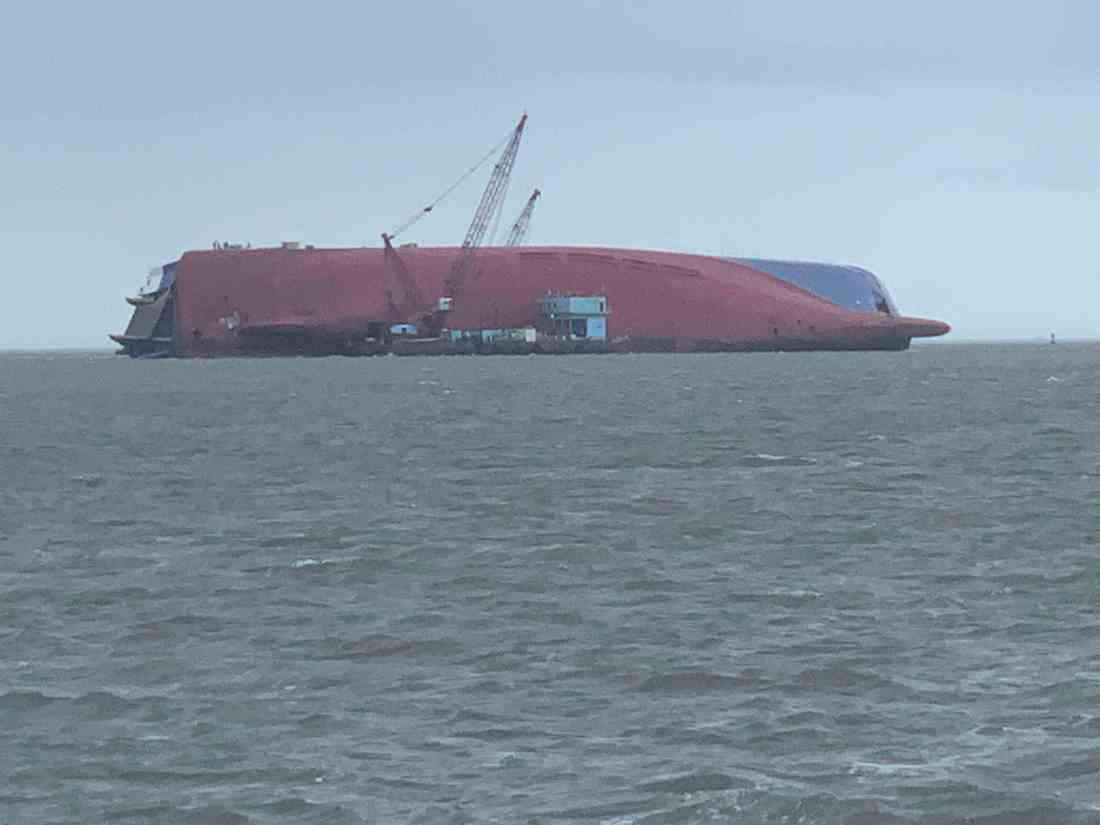
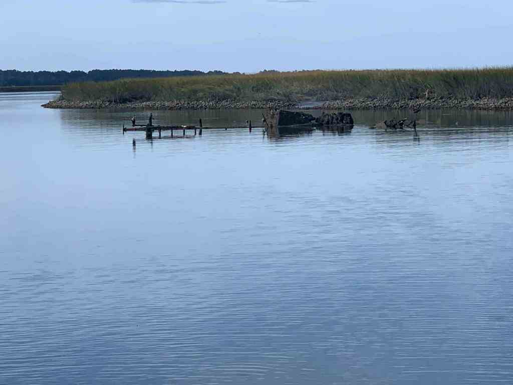
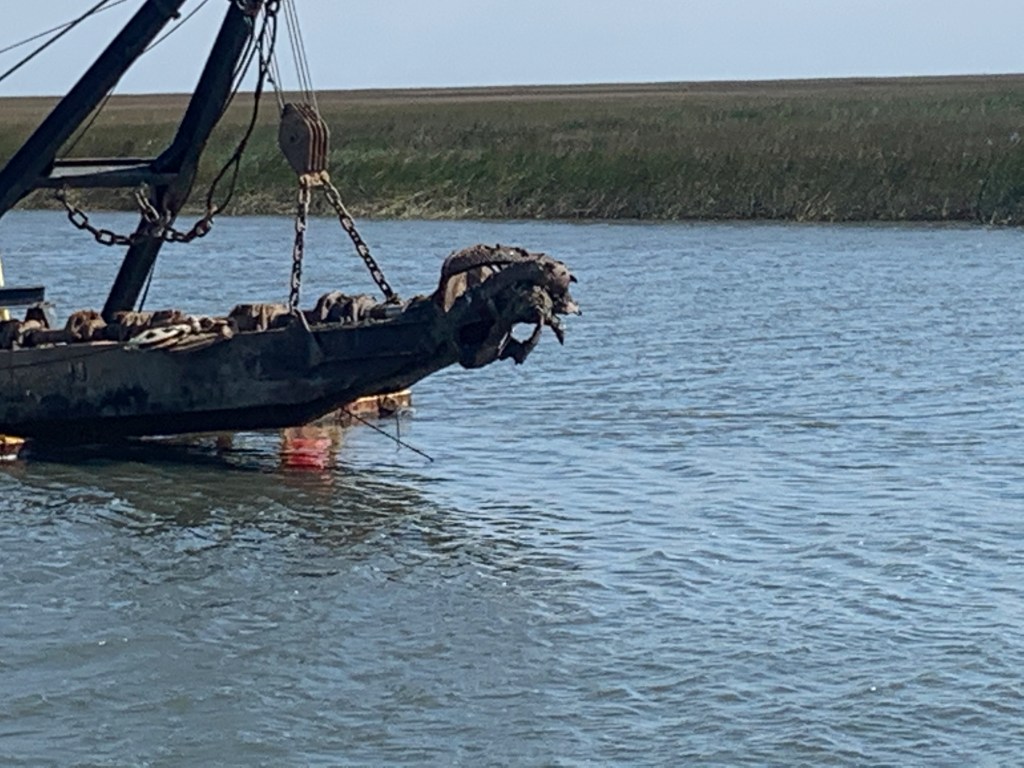
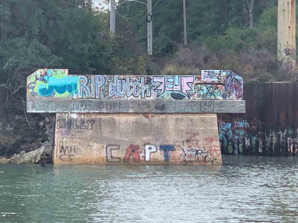
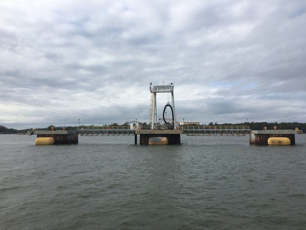
The Unexpected
Next came something I did not expect. When I first saw it I had no idea what it was. I spy’d it with my binoculars but I still could not identify it.

Turns out this is the underside of the 656 foot long Korean RoRo cargo ship called “Golden Ray” that capsized in Cumberland Sound on September 8th, 2019. While 4 of the 24 crew members were missing 3 were later rescued and even the 4th was pulled out alive. They were trapped with a fire that was roasting them alive while they were stuffing their pockets with ice to stay cool.
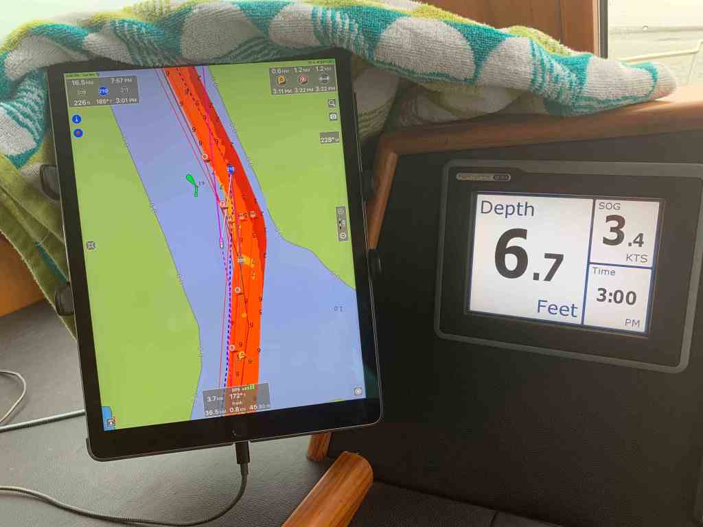
Slow as She Shallows
I was making my way down Jekyll Creek just off Jekyll Island. I found shallows.
Foreboding
As I glanced up at the sky I could see that it was getting lower and darker.

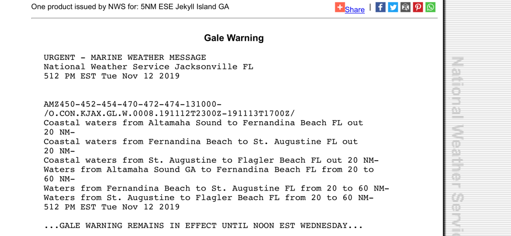
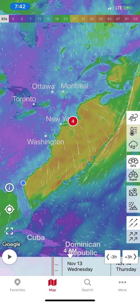
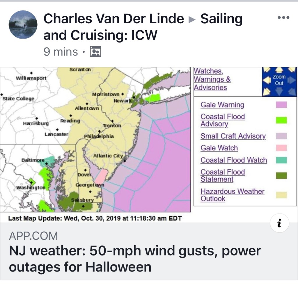
Time to stop being a lazy captain and check the weather.
You Ain’t Be Around if You Ain’t Been Aground
I was happy that my anchorage was quickly approaching. However, before I could get to my chosen anchor location I came around a turn in the bend to find this trawler aground.
Like I always say, “If you want to know where it’s shallow… it’s where the birds are standing”

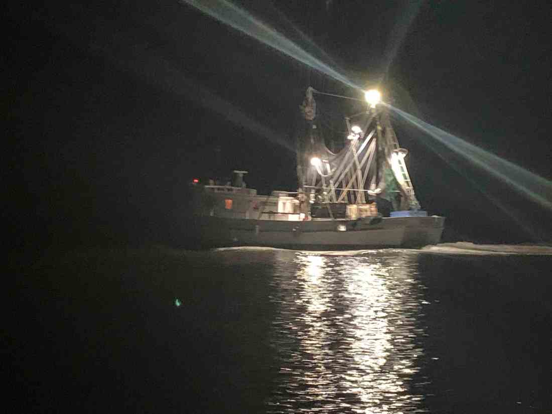
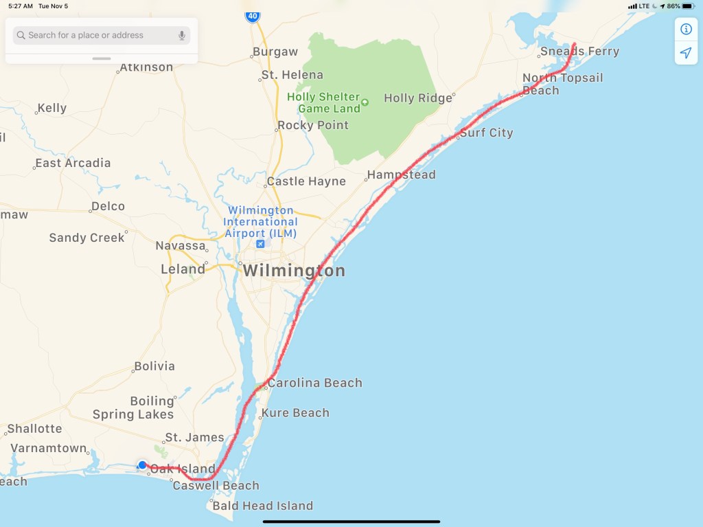
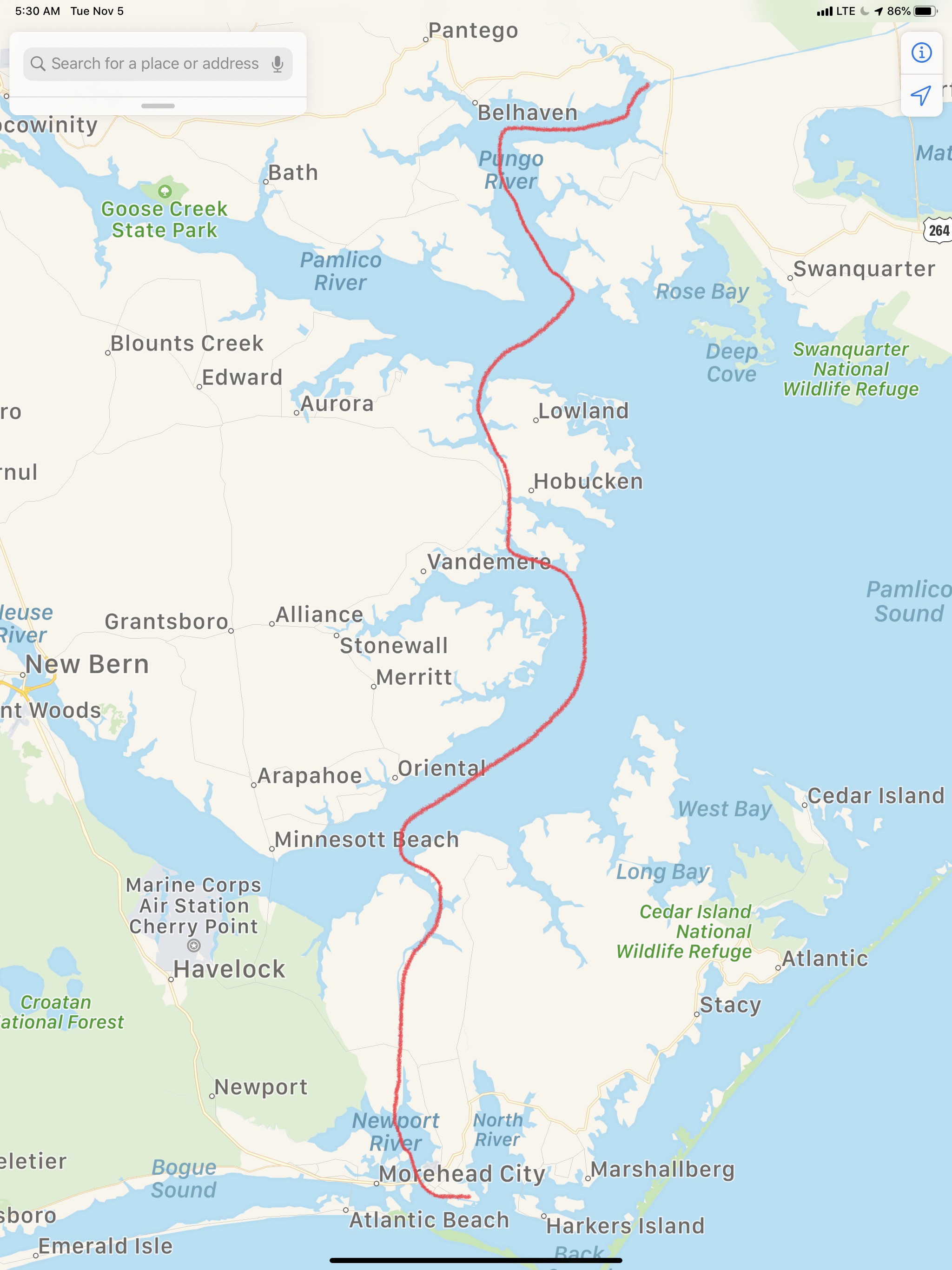
Have You Been Paying Attention?
Have you have been paying attention? Did you read my last blog post about how I plan on making 50NM legs like this leg shown below?

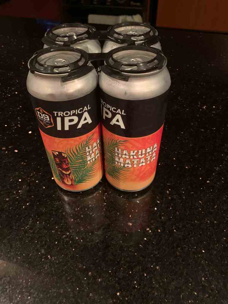
Well I got a late start, I ran into shallow water, Gale Warnings, slowed for all kinds of things like trawlers aground. When did I get to my anchorage? In the dark with gale warnings. OK, It may have been gale warnings out on the ocean but only strong gusty winds where I was anchoring. That said, I’m in the Georgia low lands. Nothing sticks up high enough to buffer the winds. I did not snap a pic while anchored because it was just black out. Anchoring did not go smoothly. I had a strong wind perpendicular to a strong current and I was challenged to find a spot that did not have the wind swinging Simple Life onto the creek bank. It’s going to be a long night on anchor. Now where did I put those IPAs?


You must be logged in to post a comment.