Virgin – Olina

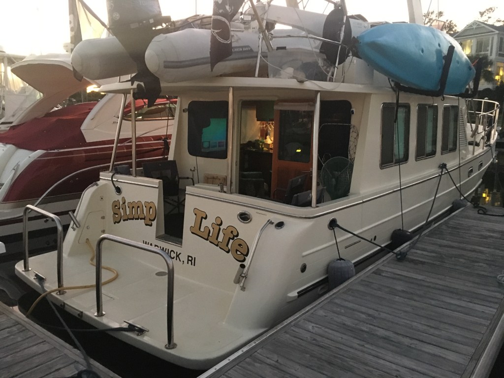
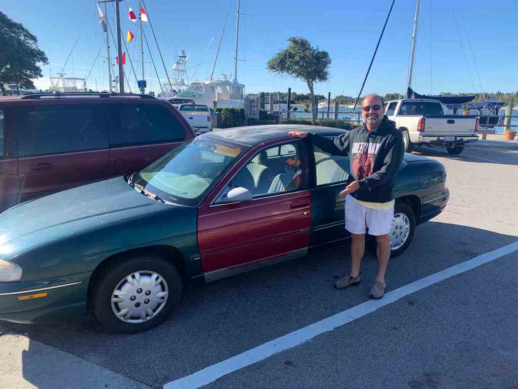
A Door 2 Fathoms Down

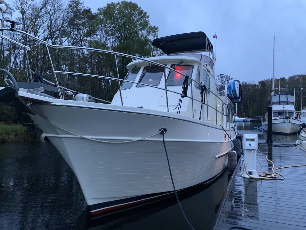
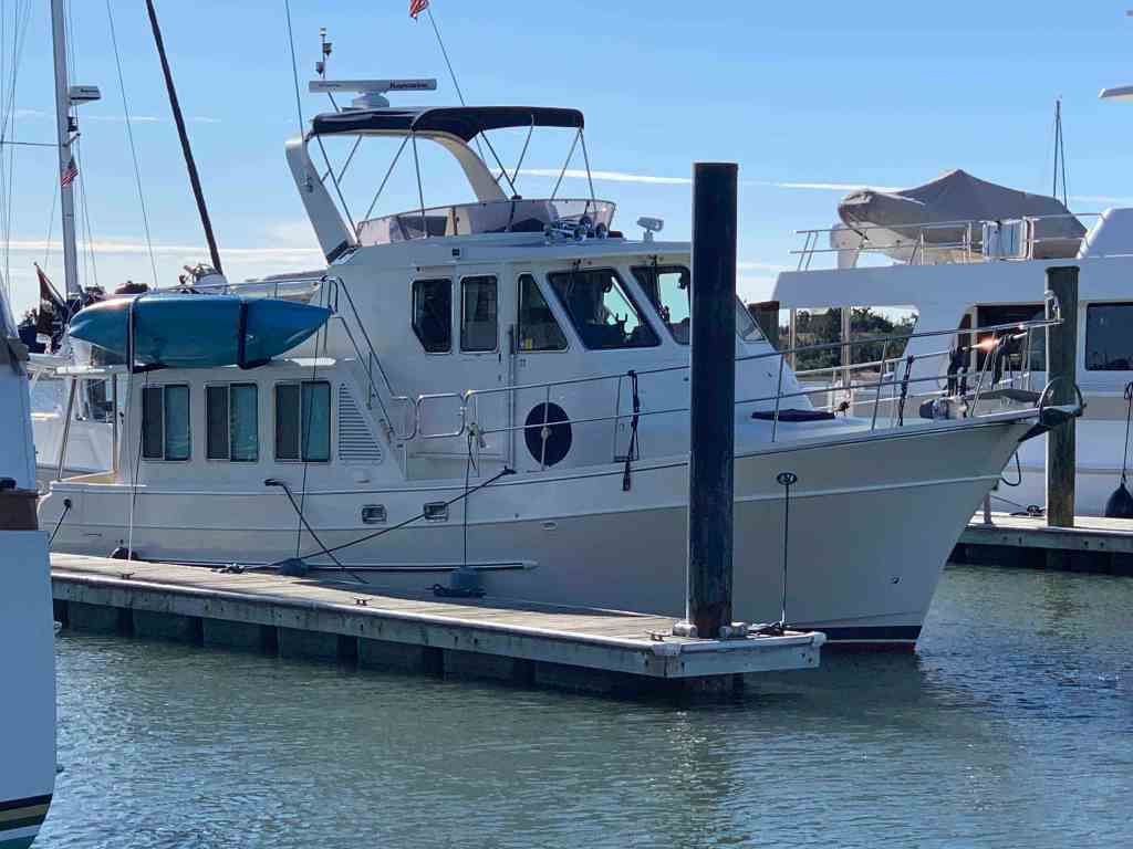
We left our slip in Solomons Island and the captain forgot to close the boarding gate door. We pulled up to the pumpout dock and the dockhand asked me to pull a bit more forward so the pumpout hose would reach and we heard a metal noise? The boarding gates on Simple Life open outward (very strange and a bit dangerous if you lean against an unlocked door) and when open they stick out further than the rubrail. The door caught on the fixed dock pilings and the sound was it being removed from the boat.

Missing Door

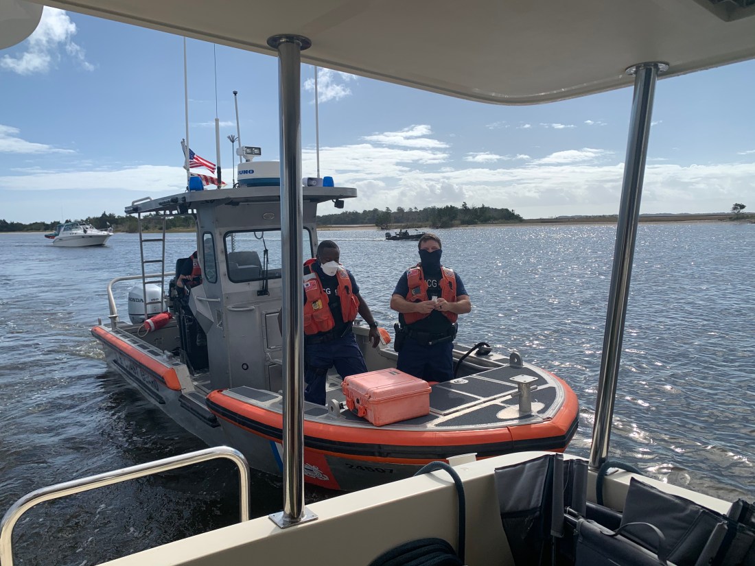
What to do? We are tied up at the dock and our door is 2 fathoms below us. It’s muddy brown Maryland water. Now… I love being “on the water” but I don’t like being “in the water”. Especially when the water is 57 degrees! Hmmm. Let’s call for an expert.

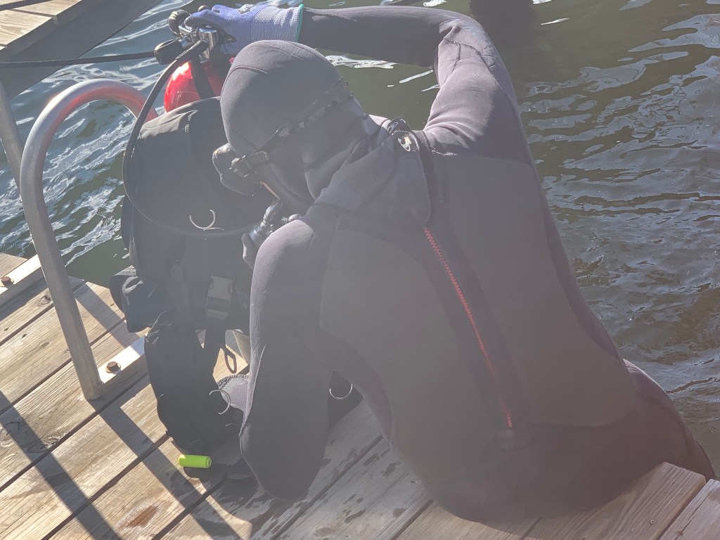
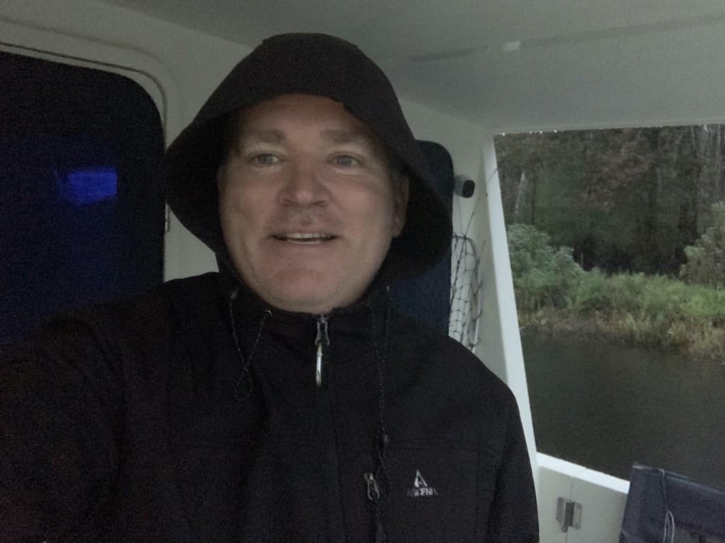
It made me nervous just to watch Jeff our diver jump into that water. When he entered the water he took quite a few loud deep breaths. It looked cold to me. Jeff disappeared for what seemed like 5-10 minutes as I watched his bubbles appearing on the surface up & down the dock. I stood there holding the line he had attached to the dock and himself. I finally gave a tug on the line (cuz I think I saw that in a movie once) and he came up empty-handed and cold. He agreed to try another spot closer to the stern of the boat and he was down another 5 minutes… He surfaced and smiled a frozen smile. He had me pull the rope and the door came to the surface. Jeff had felt with his hands in zero visibility around the bottom until he felt the metal door and rapped his dive rope around it several times. We had already turned the heat on inside MV Simple Life so it was 80 degrees inside. Teresa handed Jeff a steaming hot coffee and a towel. Judging by how he stood in the path of the heat with both hands clenching the coffee cup under his chin… I’d say he appreciated it.

We spent the end of the day chatting with Jeff and decided to stay another night at the marina.

The door was unharmed. I spent the night pounding the aluminum hinges back into shape before reattaching the door which did not even have a scratch on it. (smile)

There is a great Italian restaurant at the marina called La Vela Italian Restaurant.

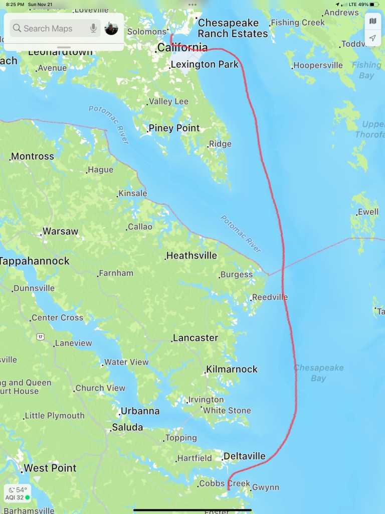
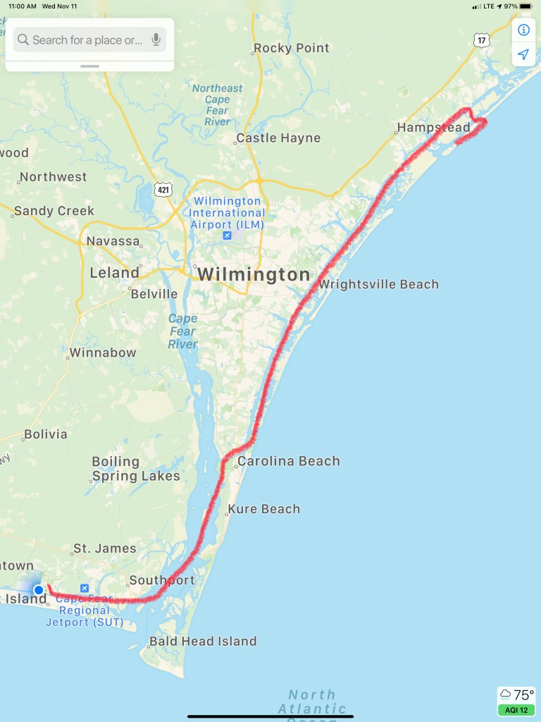
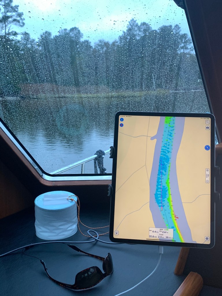
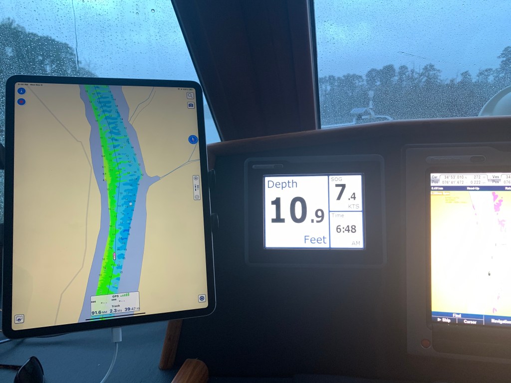
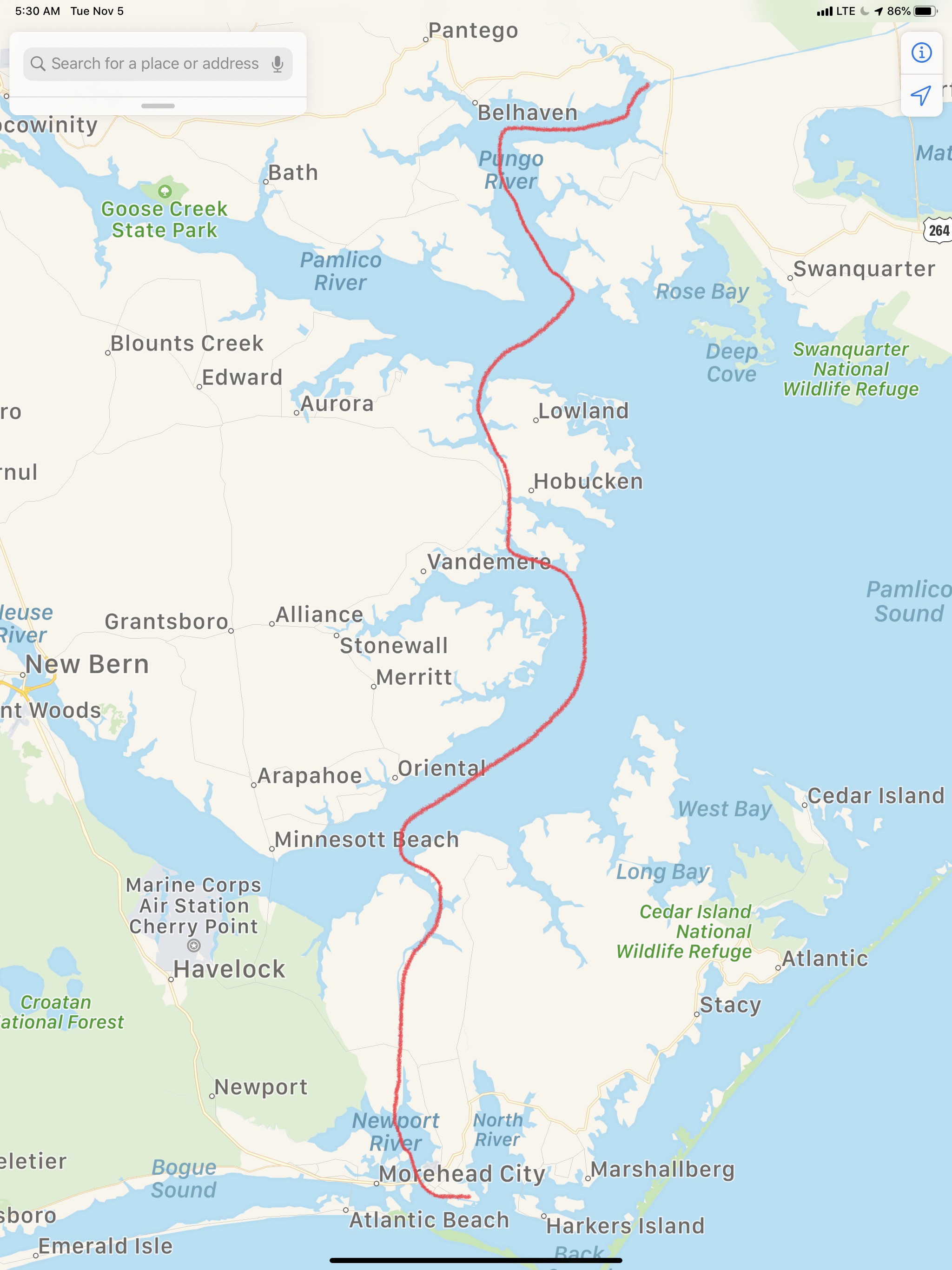
The next morning we had a great breakfast and set out for Gwynn Island just south of Solomons Island, MD.

Yummy

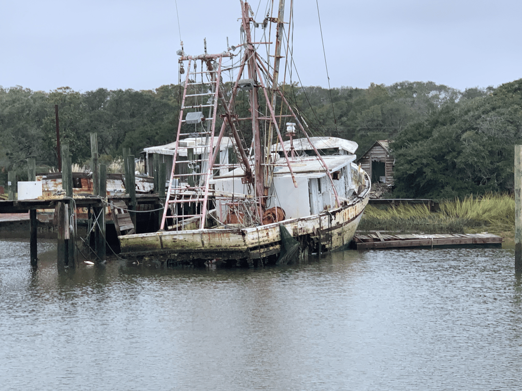
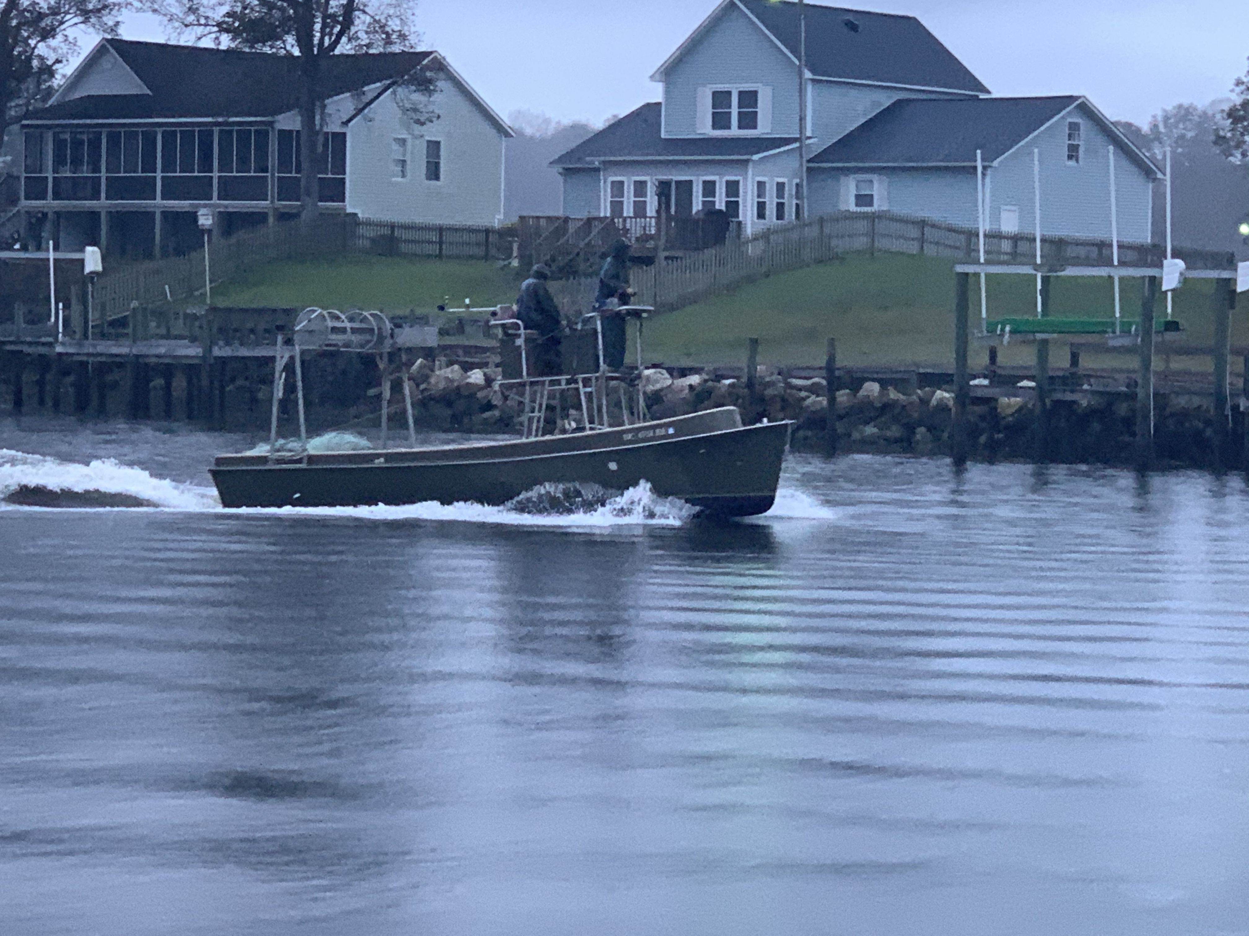
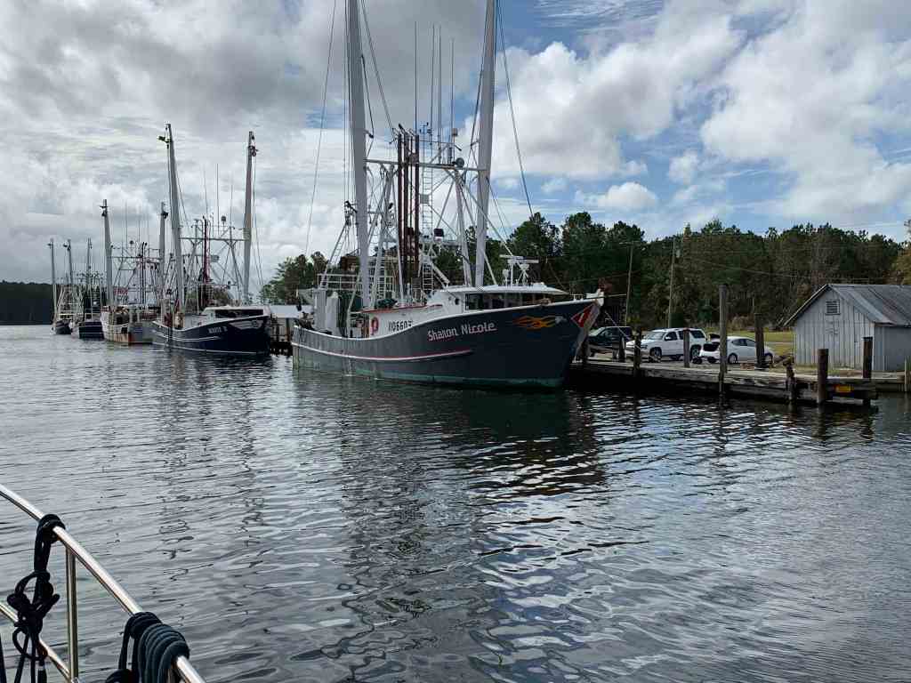
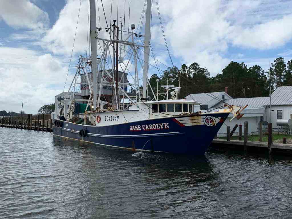
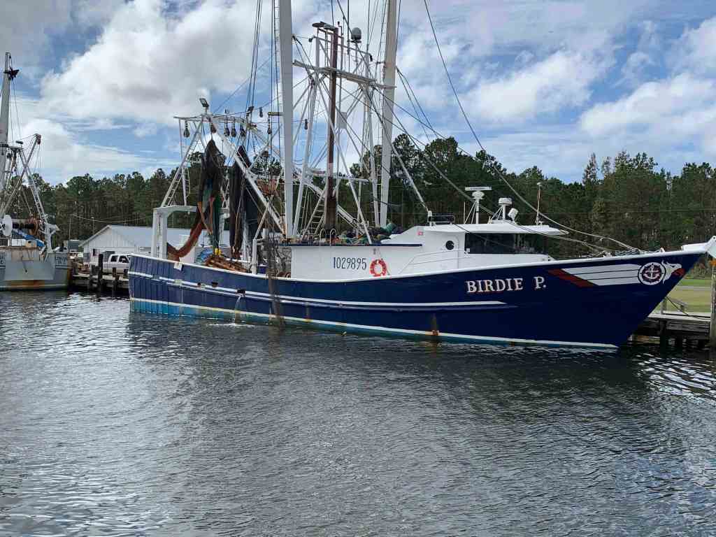
I love the lines of a Chesapeake Deadrise

Chesapeake Deadrise

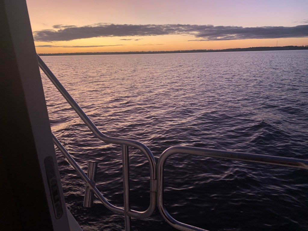
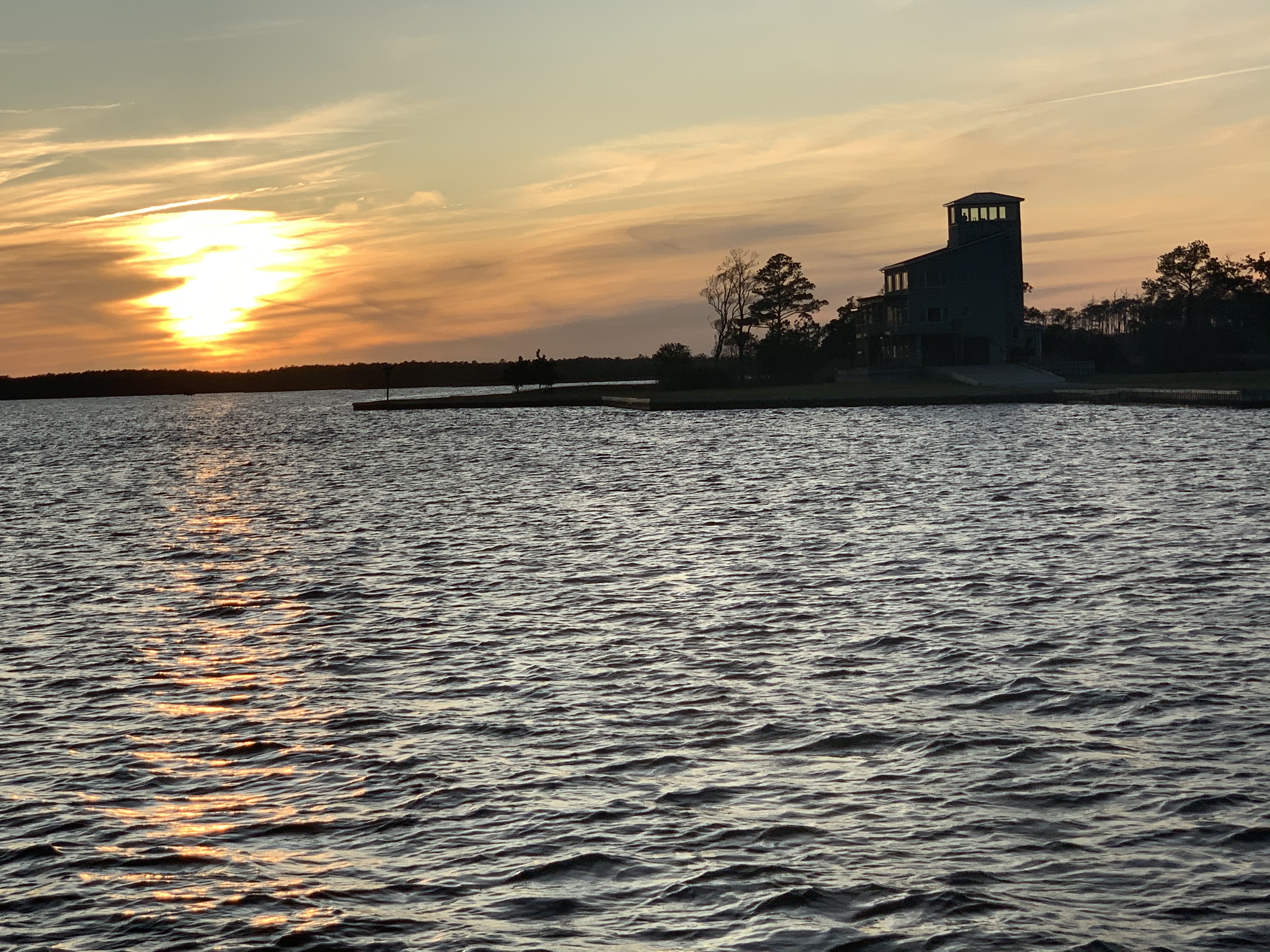
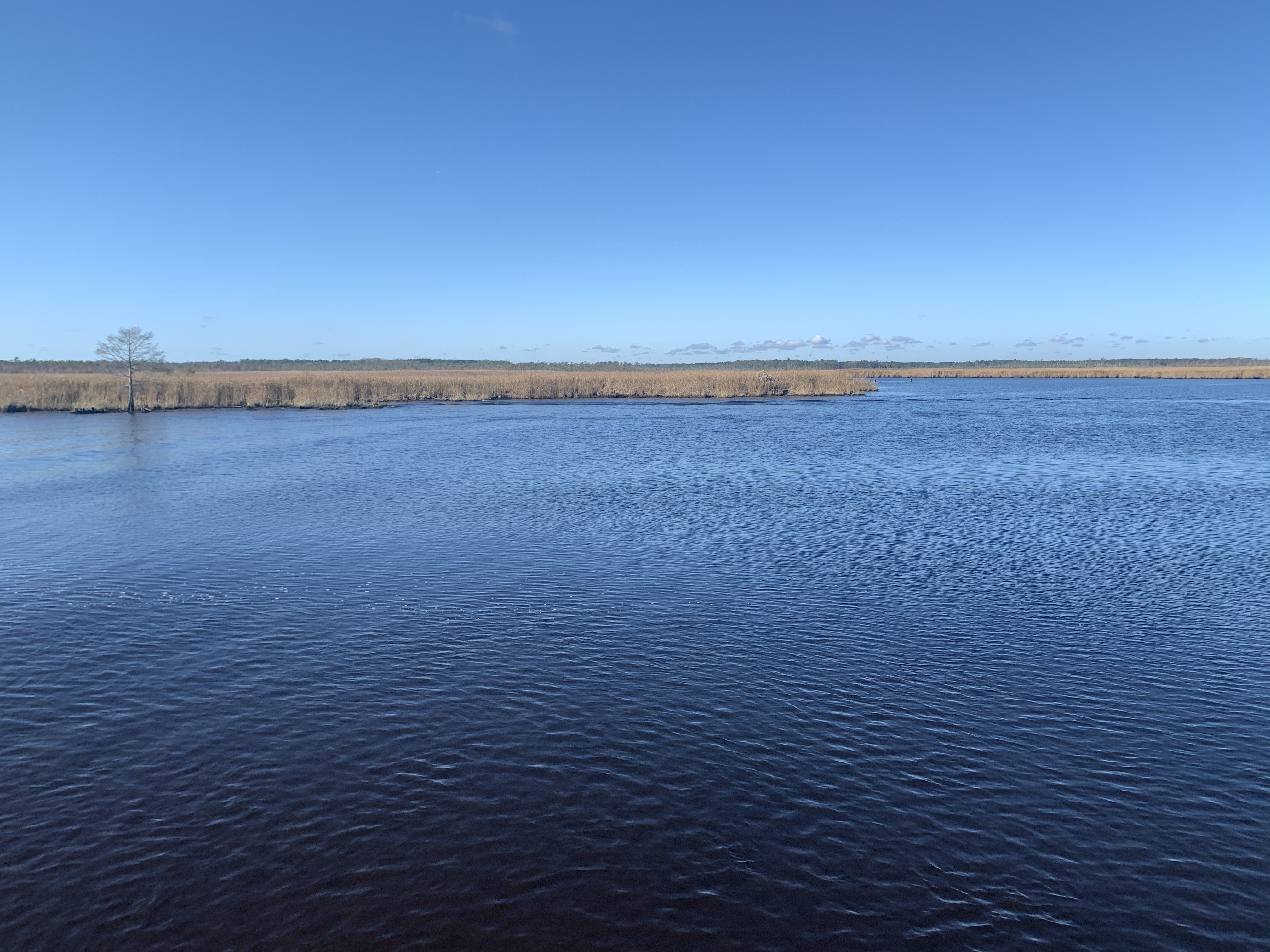
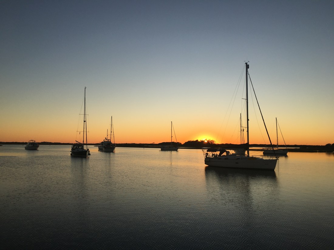
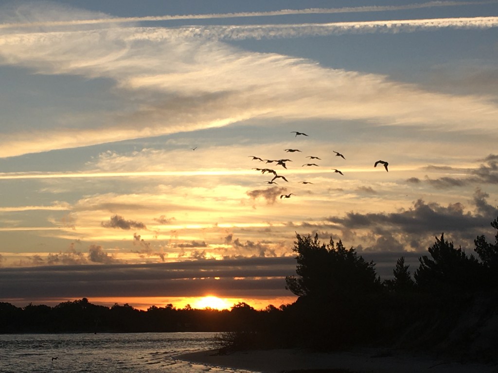
We anchored just off Gwynn Island and enjoyed a beautiful sunset.

Gwynn Island Sunset on anchor

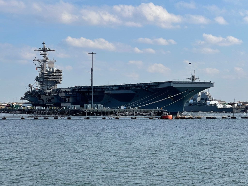
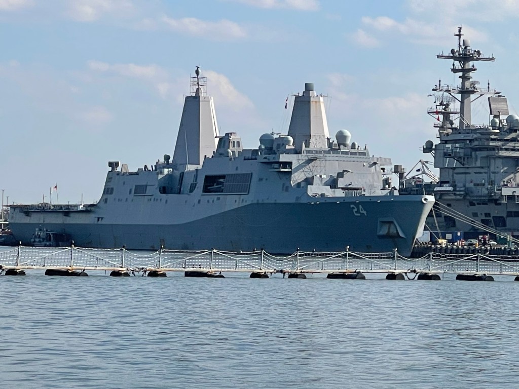
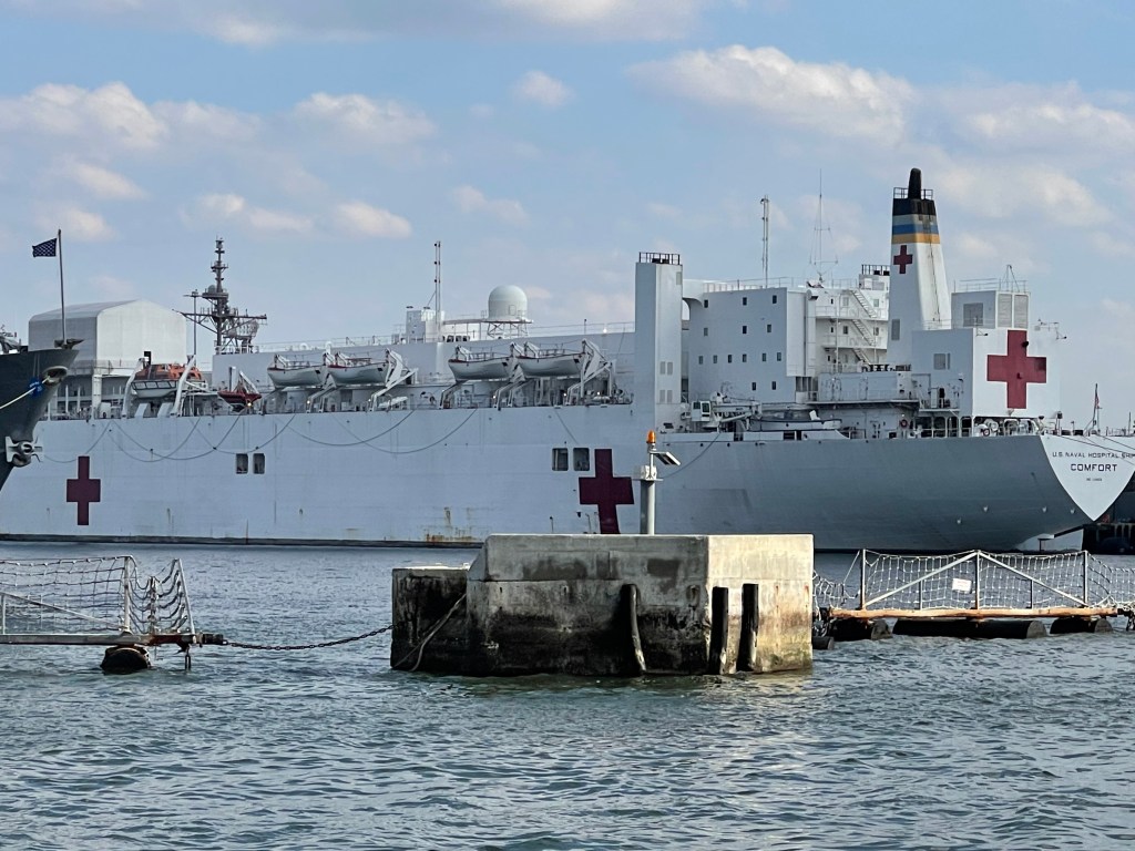
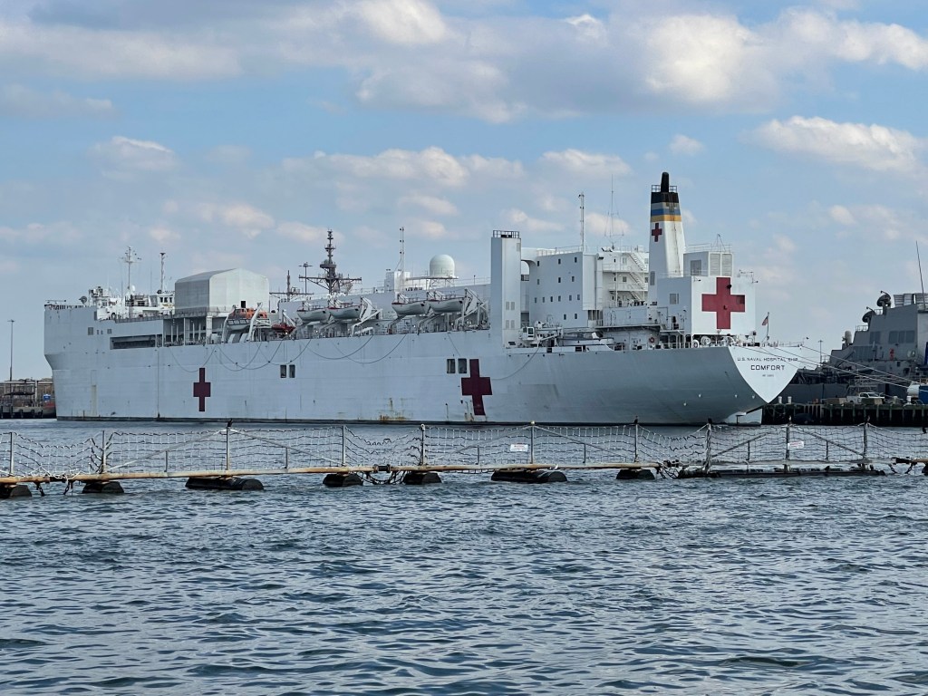
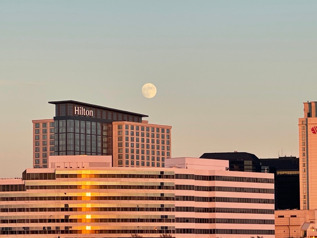
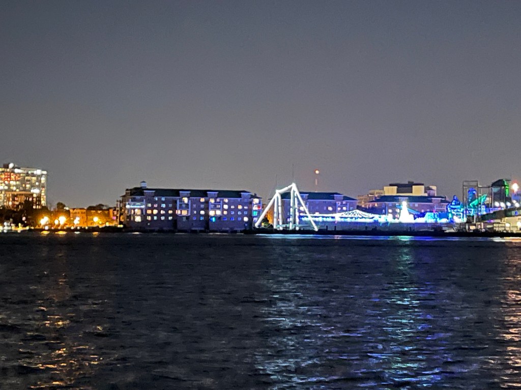
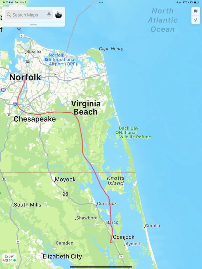
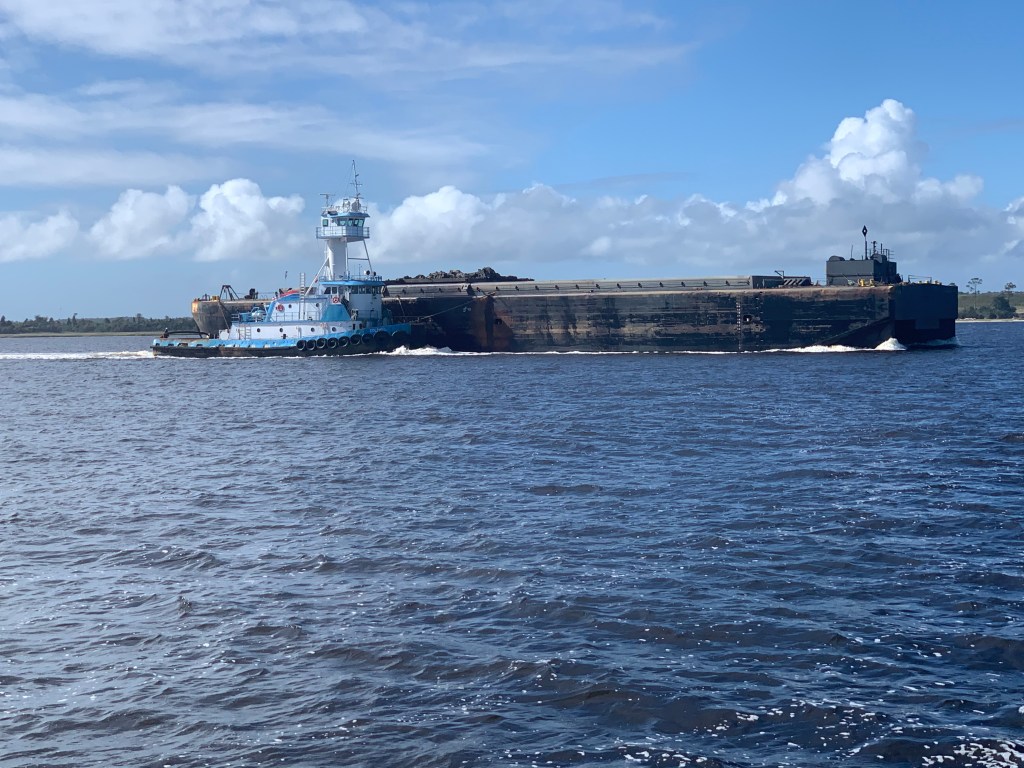
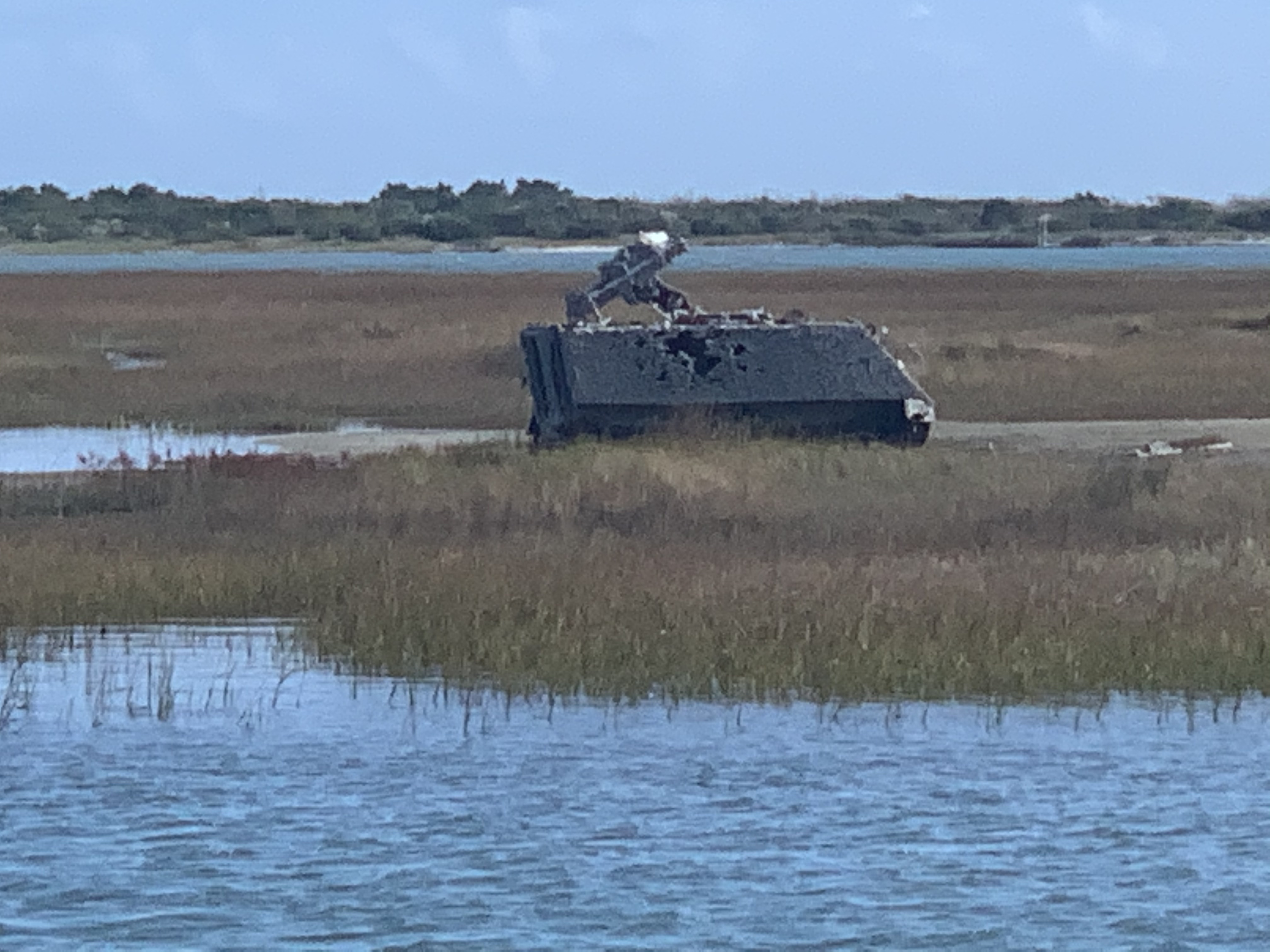
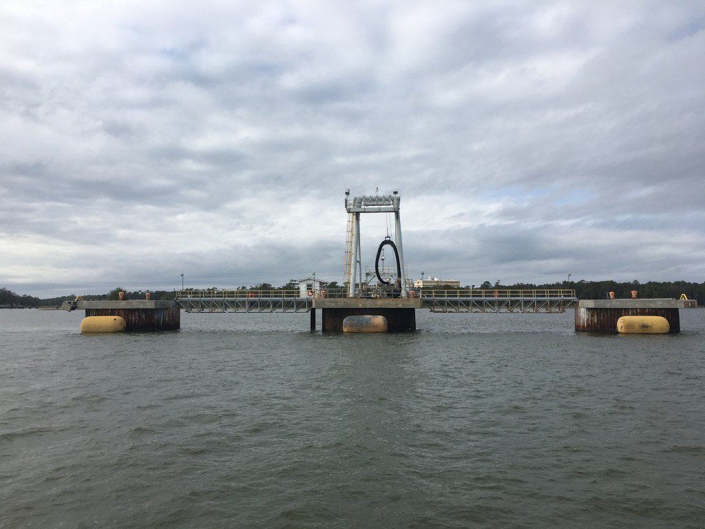
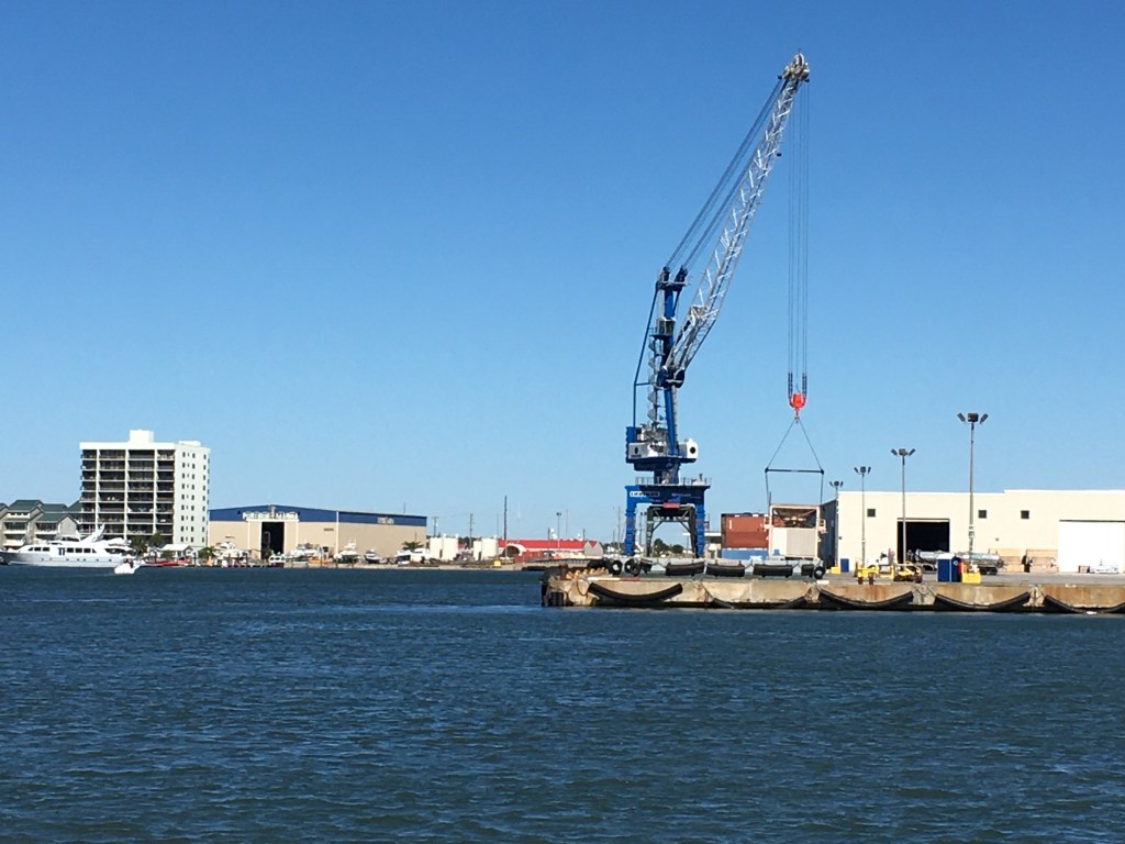
The next morning we set out for Norfolk, VA. As we passed the Norfolk Naval Yard we snapped a few photos.

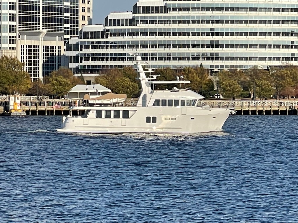
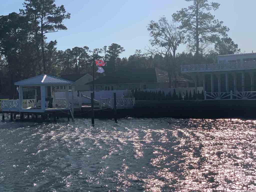
We anchored at Hospital Point right next to Tidewater Marina.

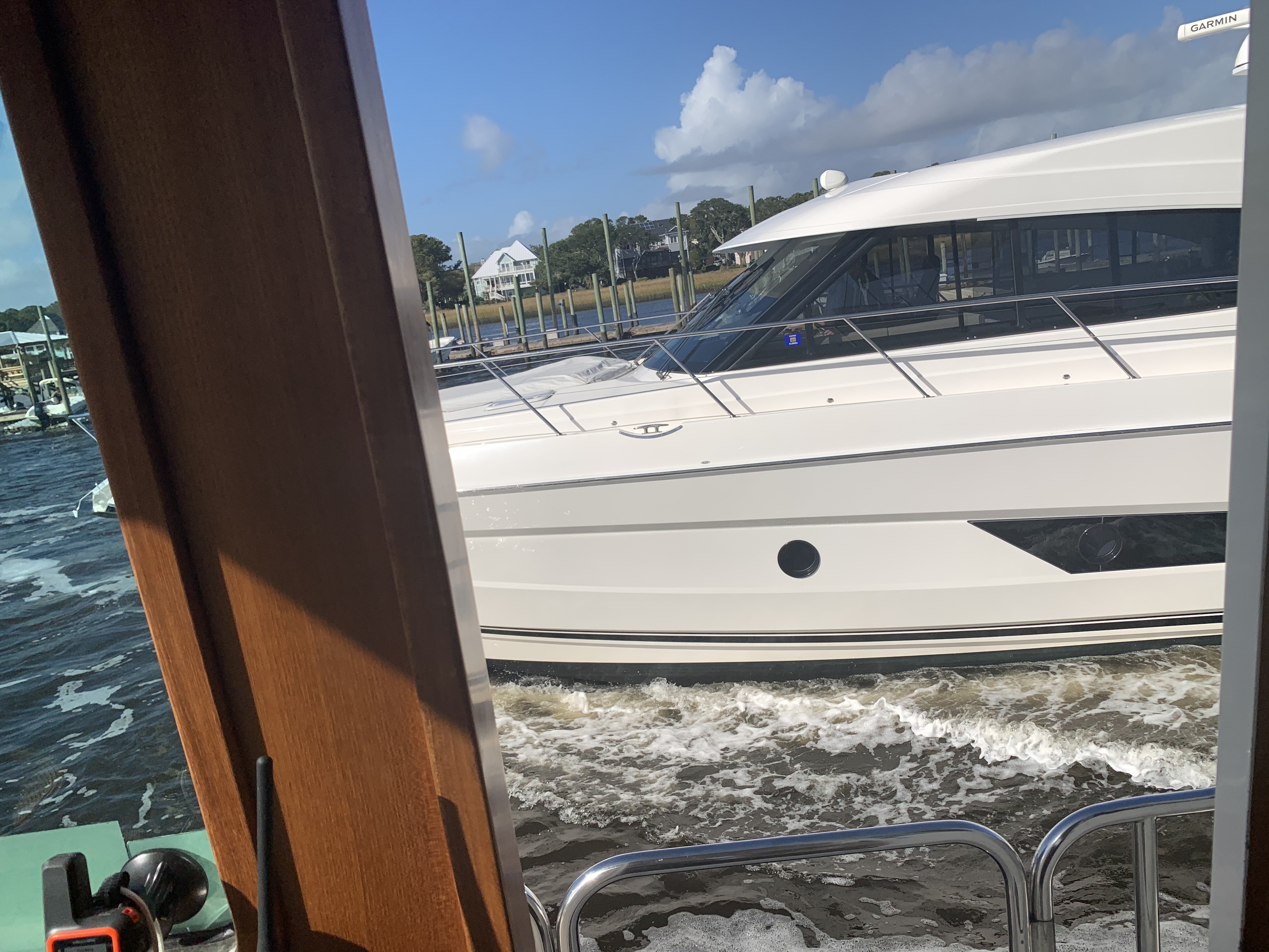
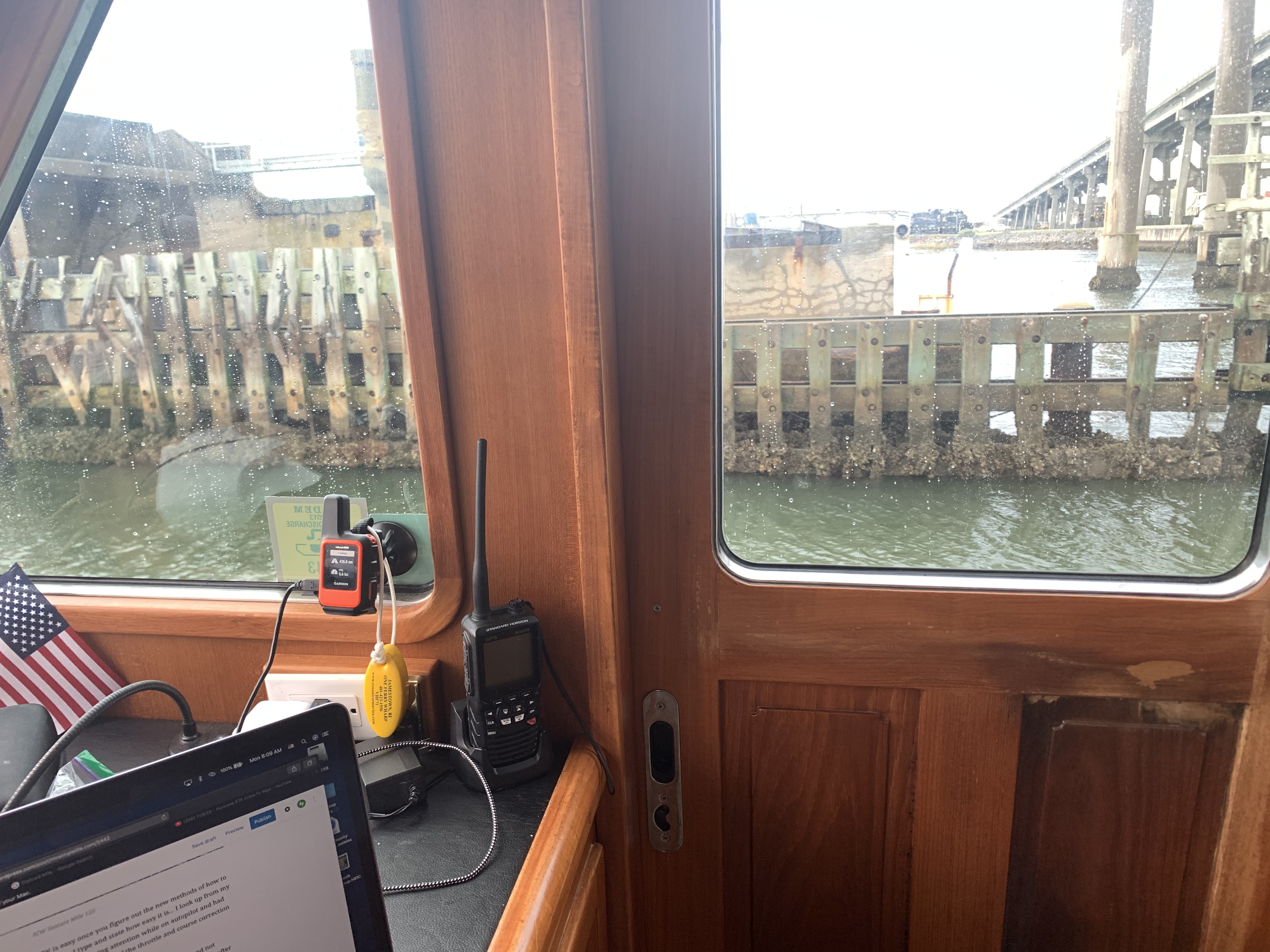
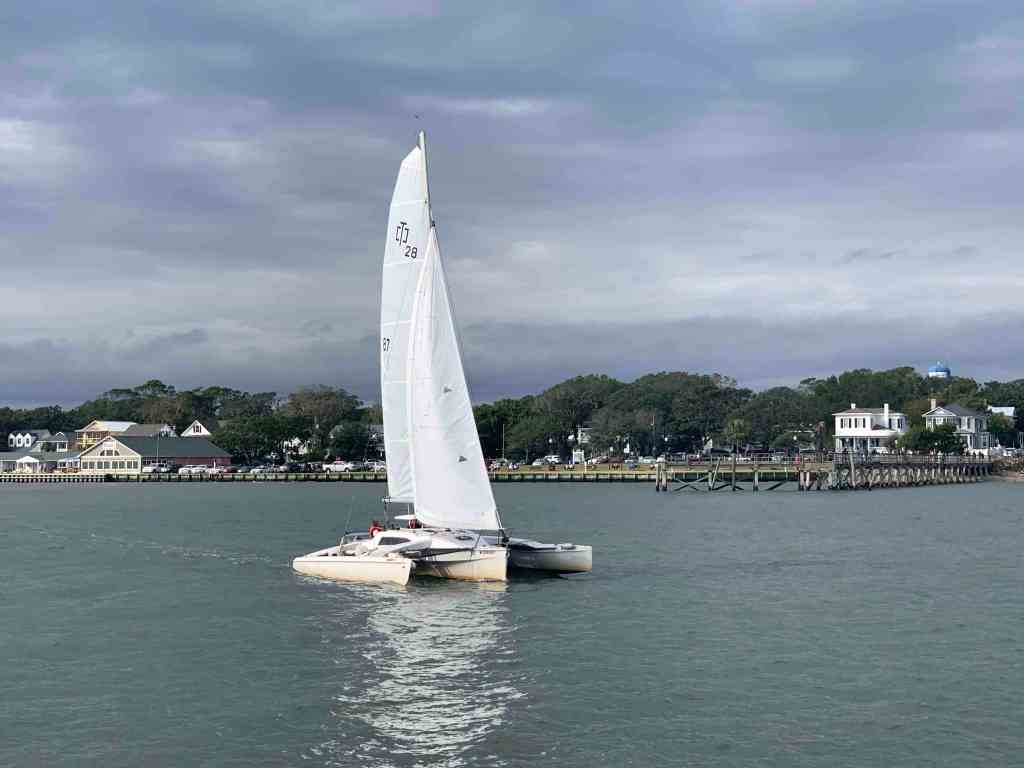
We snapped a few photos while there.

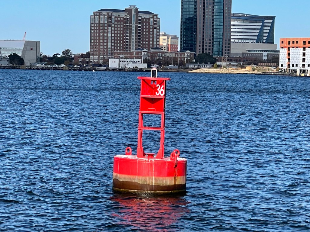
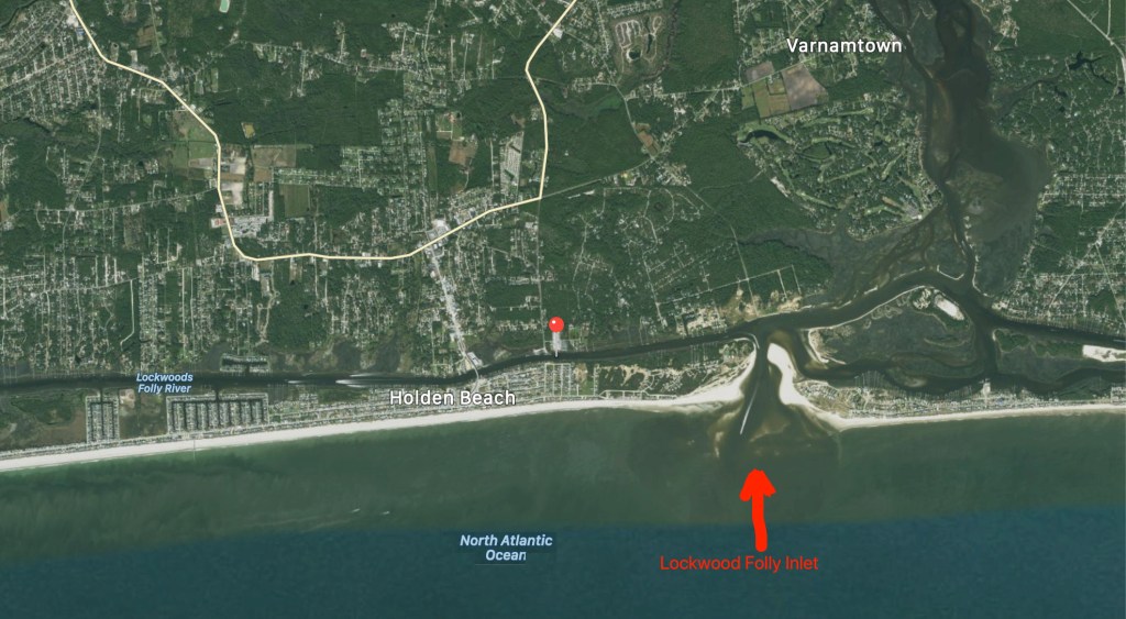
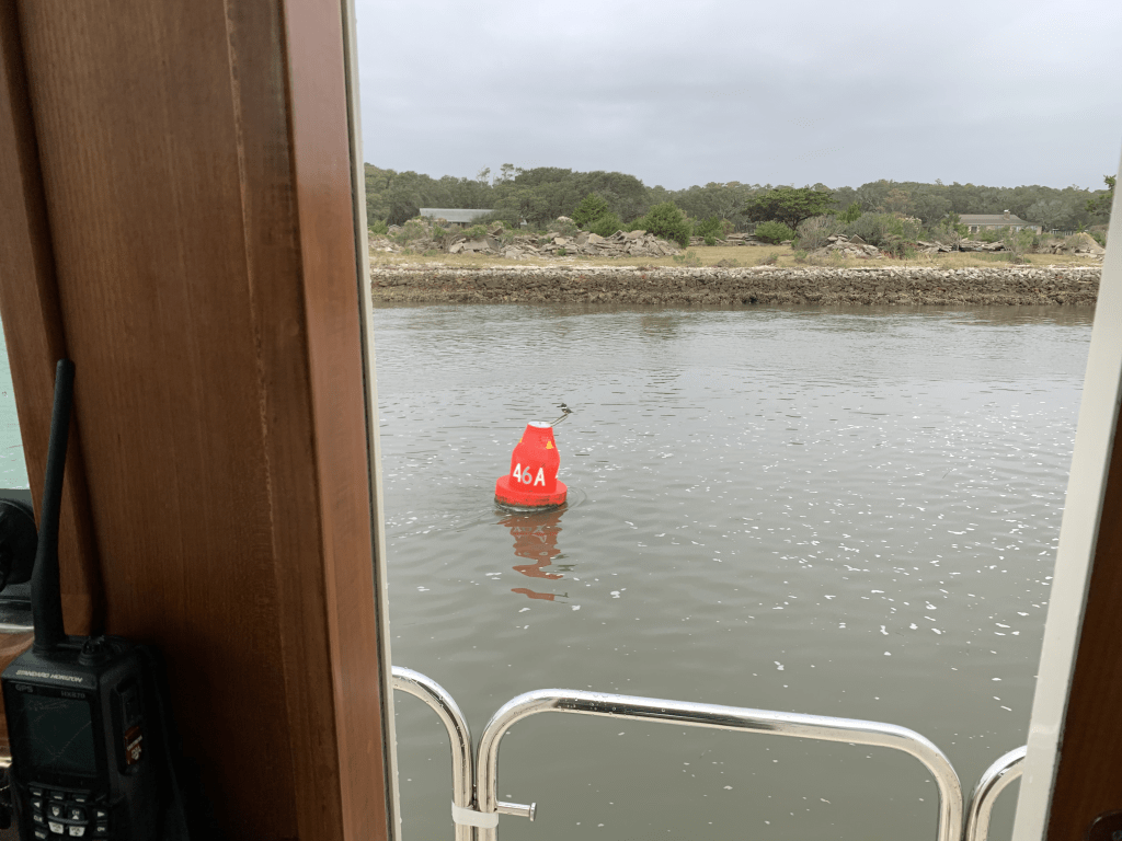
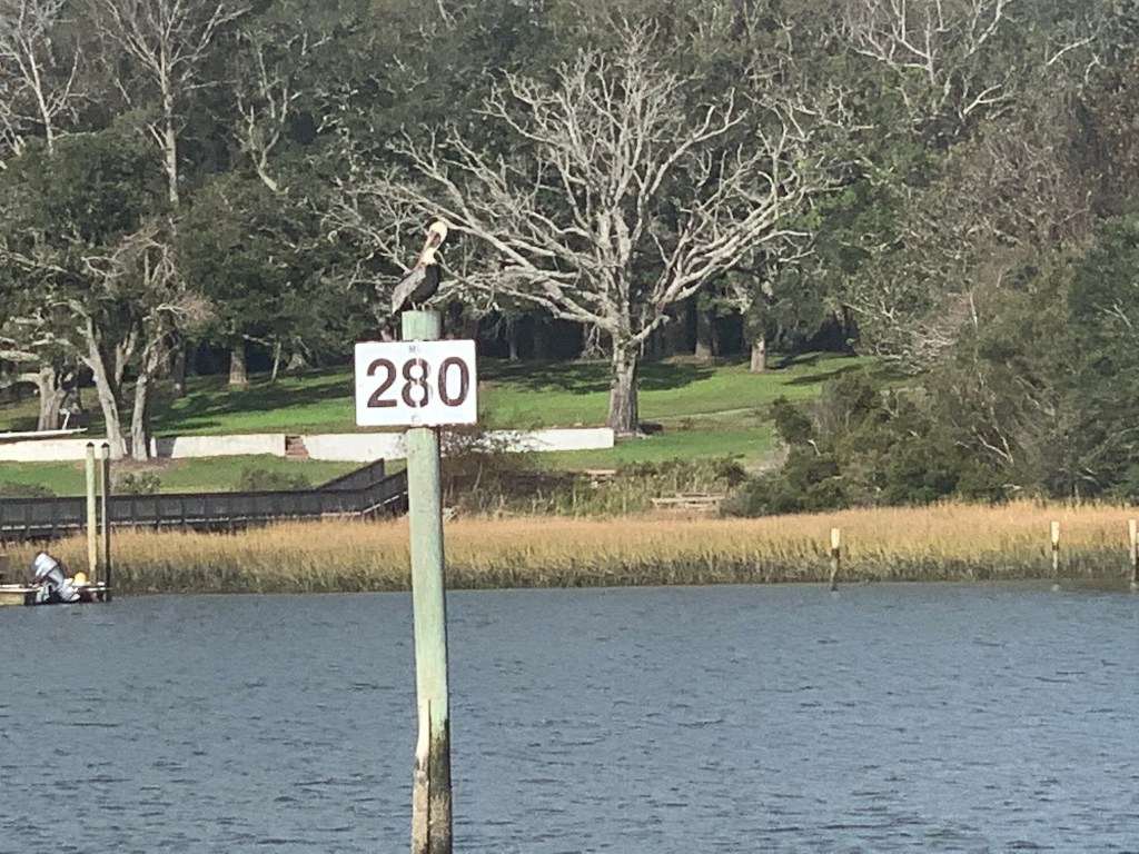
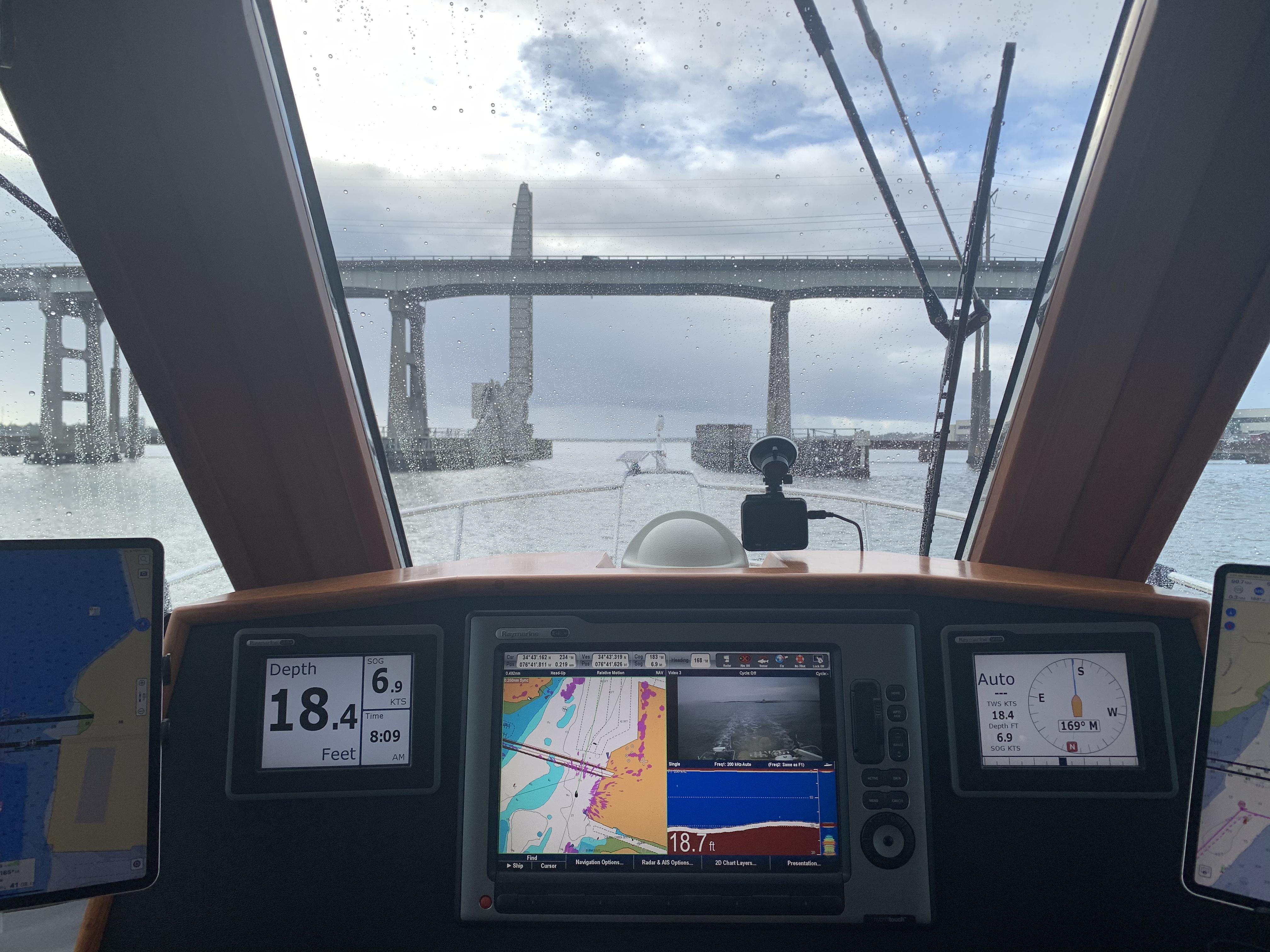
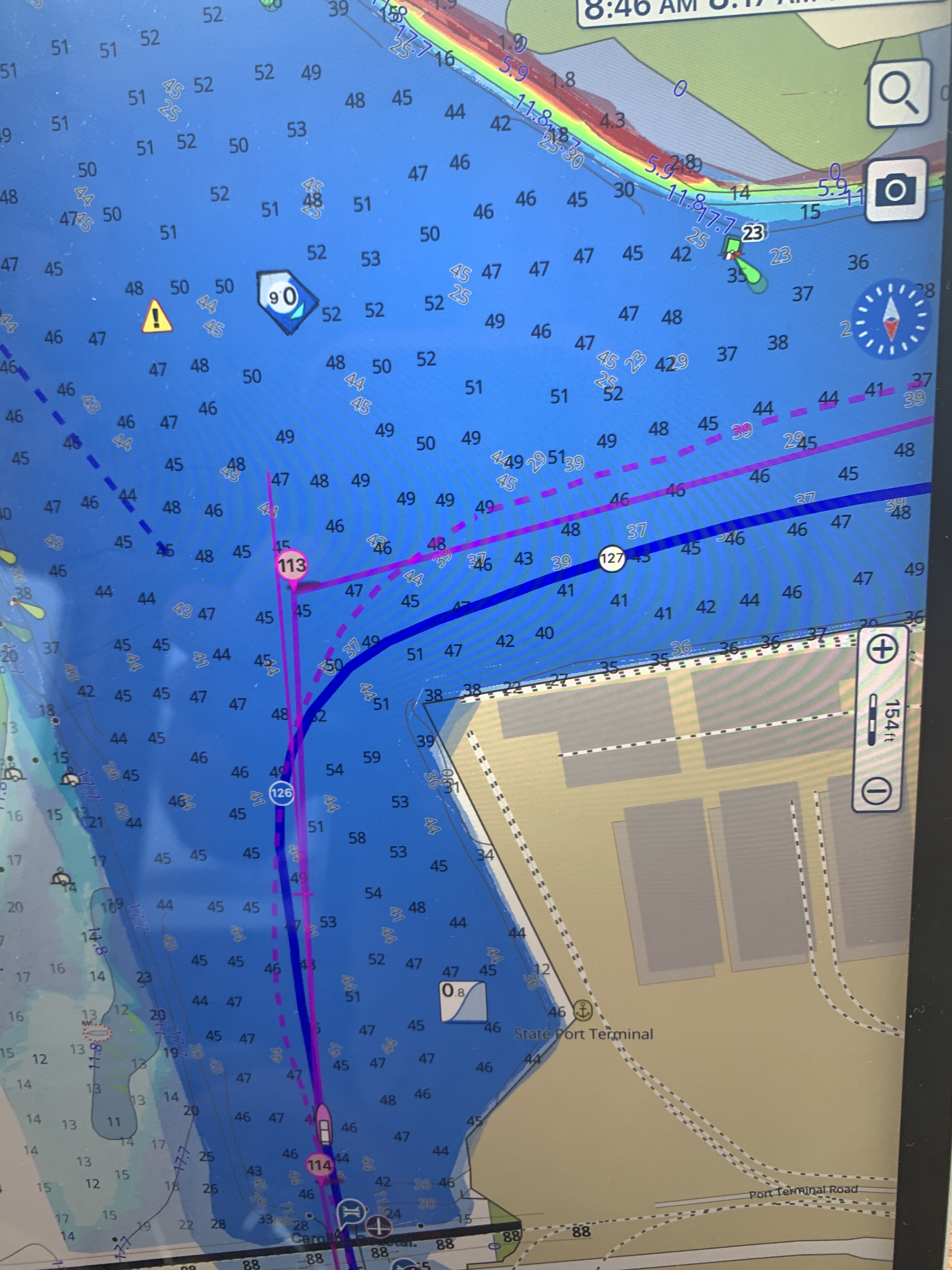
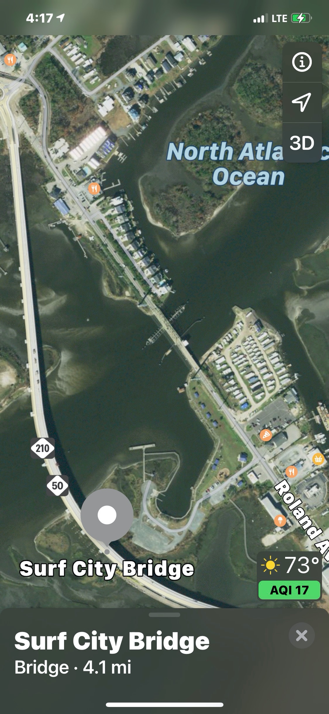
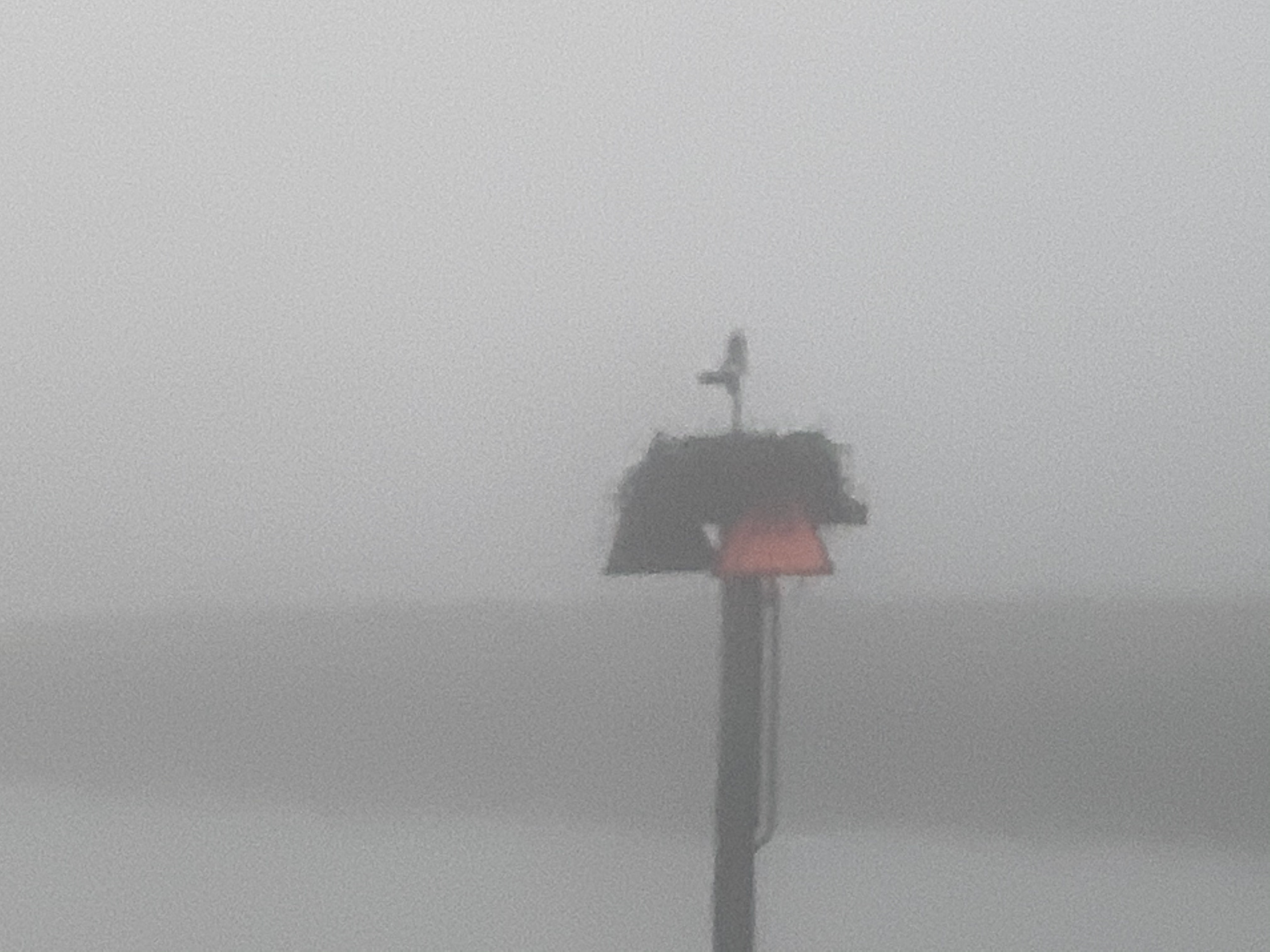
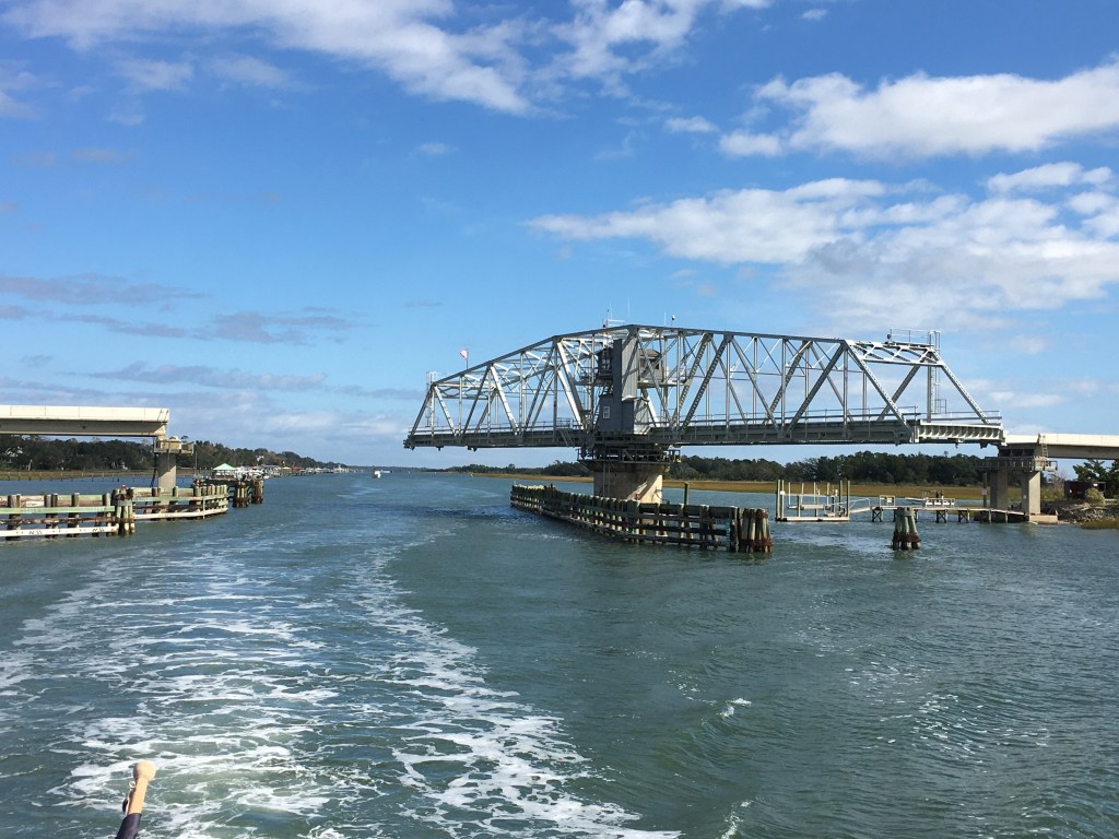
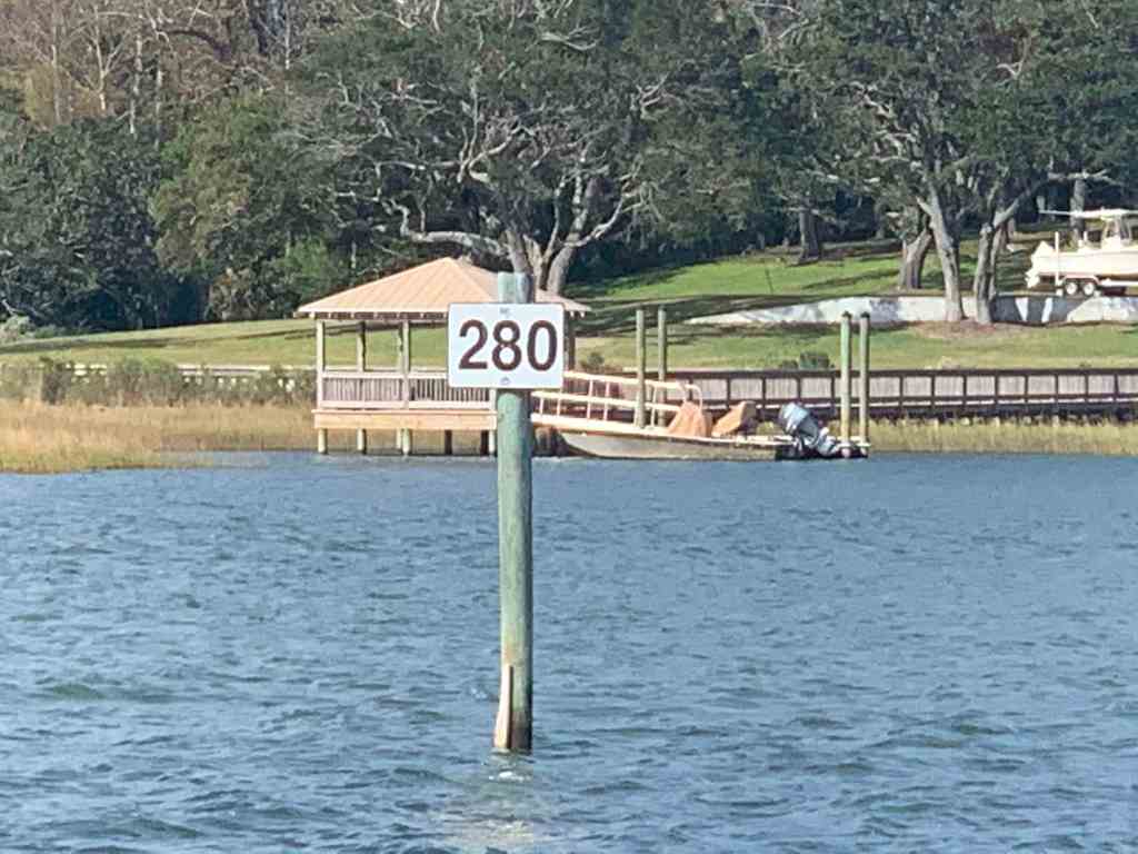
In the AM we pulled out and circled ICW Mile Marker 0 which is actually this red buoy #36

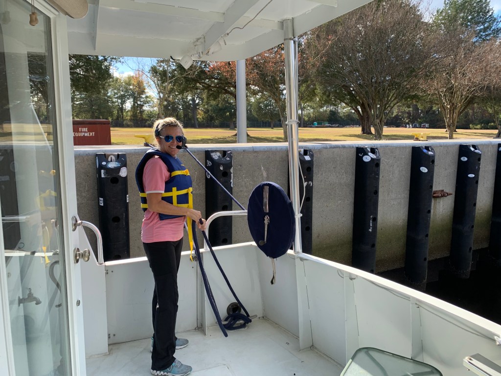
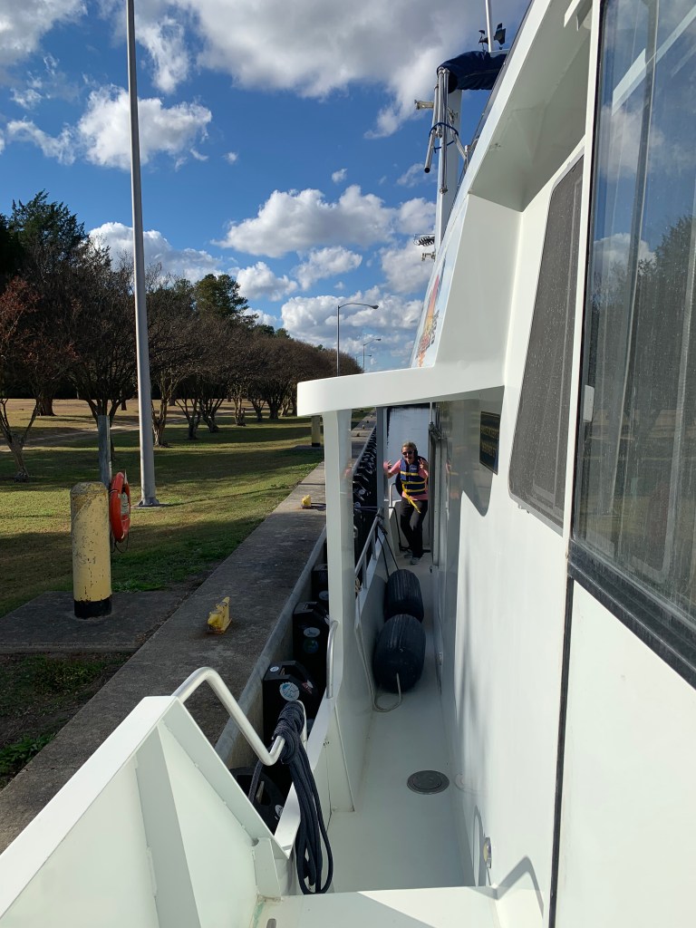
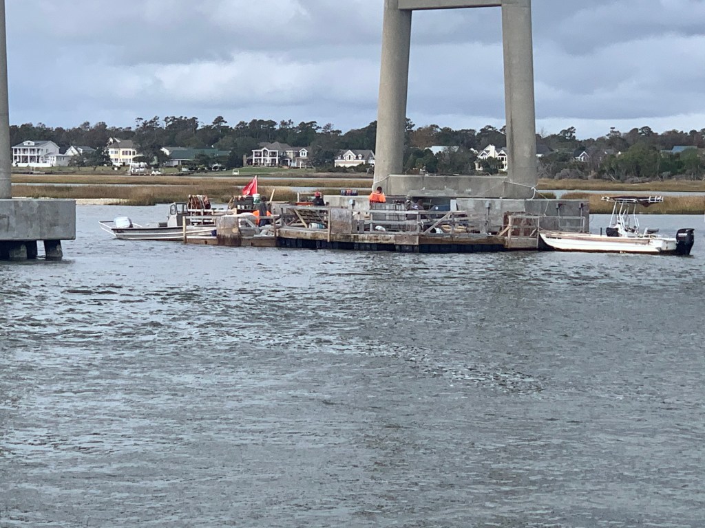
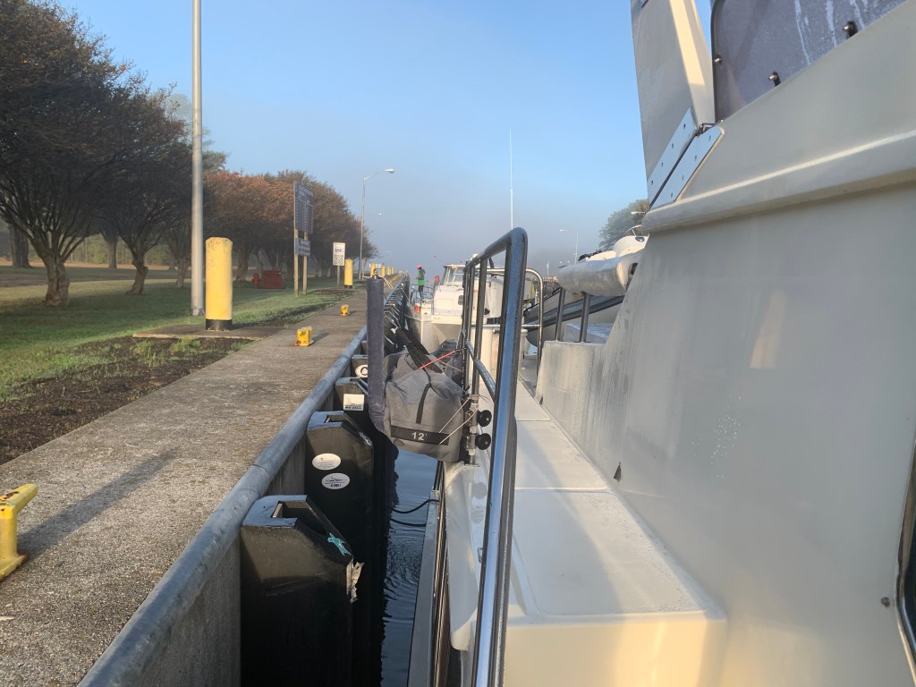
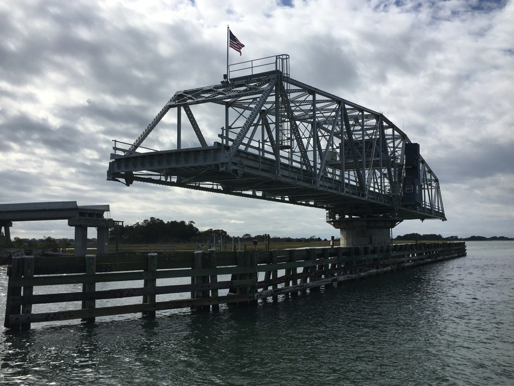
The next morning we weighed anchor and pushed southward through the Great Bridge Lock.

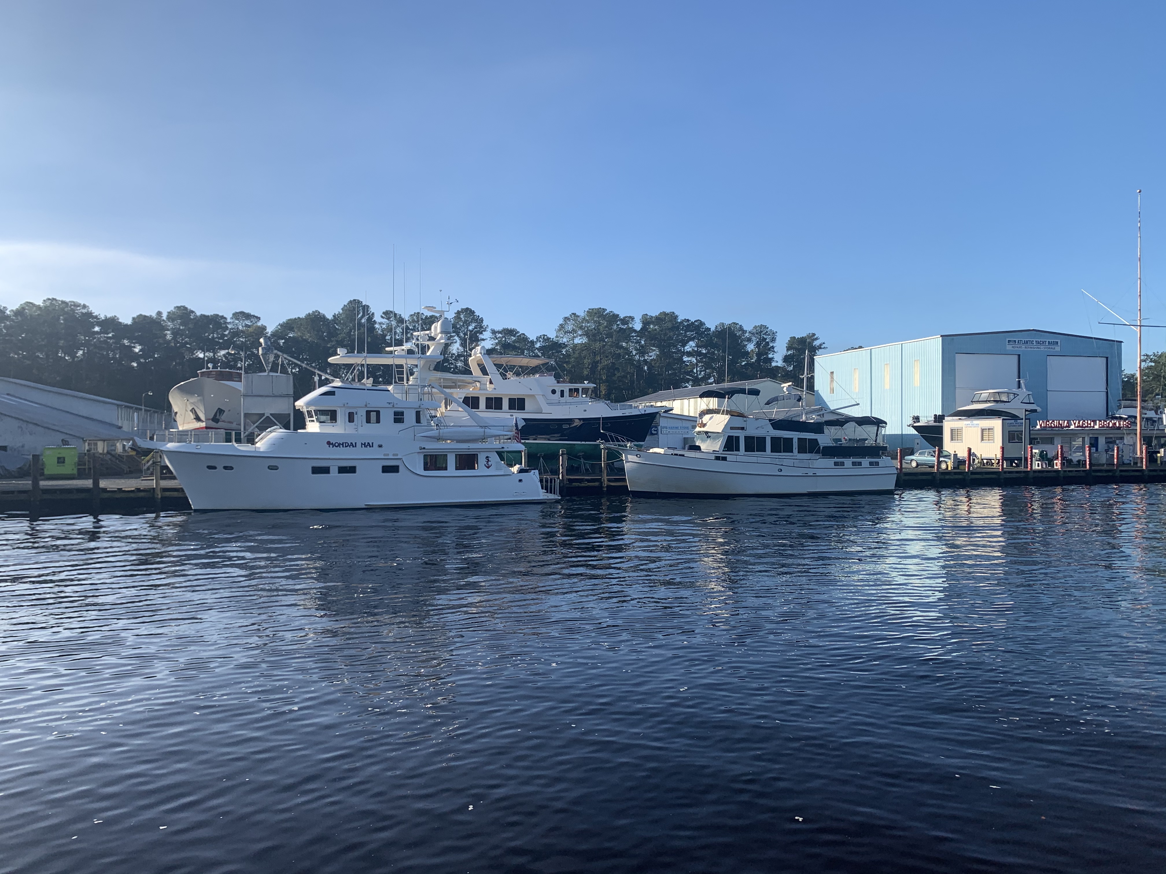
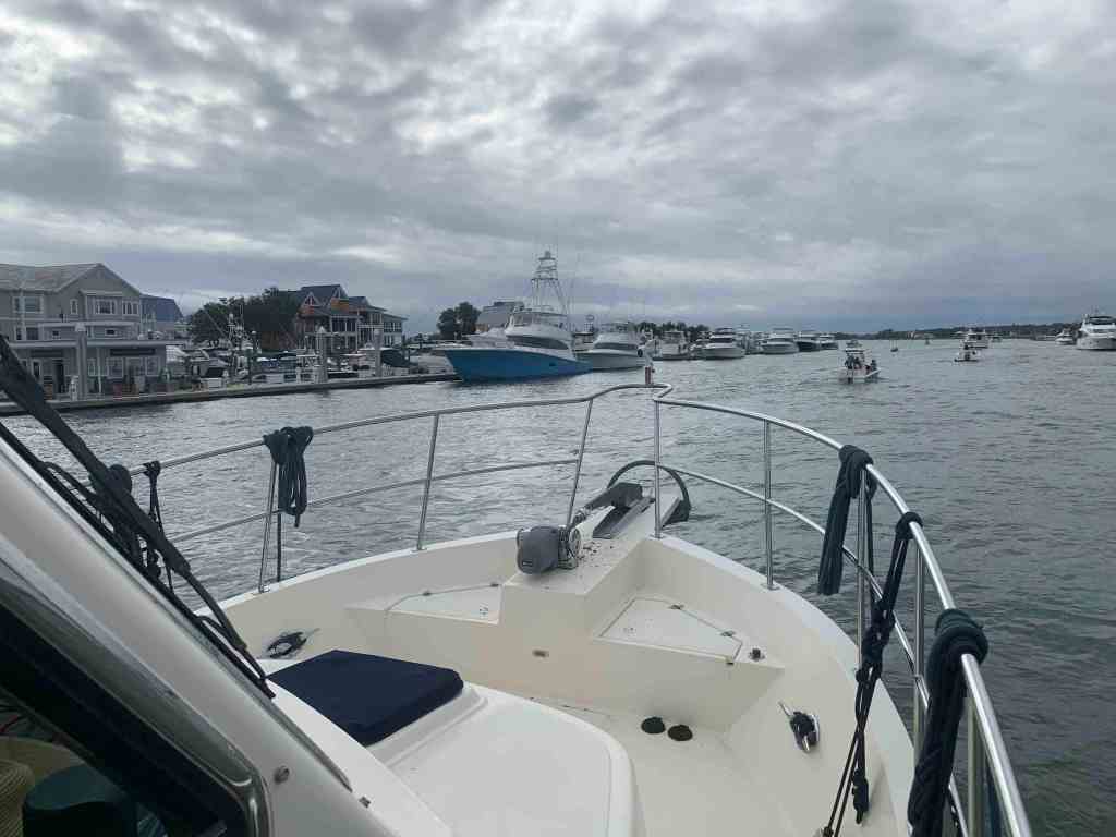
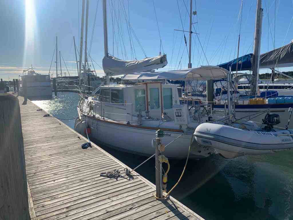
Soon we docked at AYB (Atlantic Yacht Basin) in Chesapeake, VA and noticed the 80′ Northern trawler that had passed us while we were anchored was docked near to us. We met the owners briefly and discussed some boaters that we knew in common.

iiwii is pronounced E-WE and stands for “It Is What It Is”

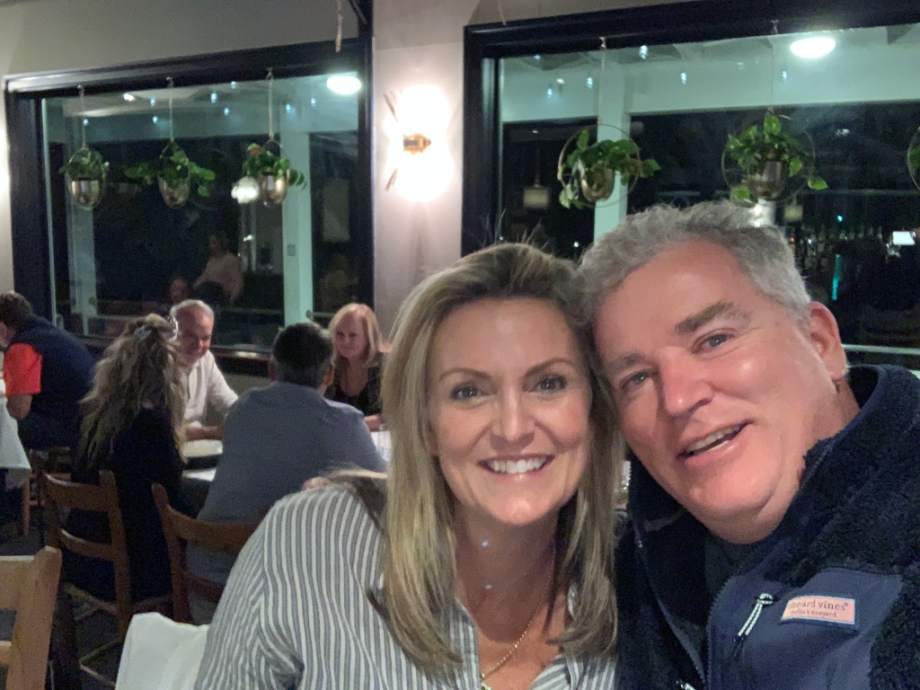
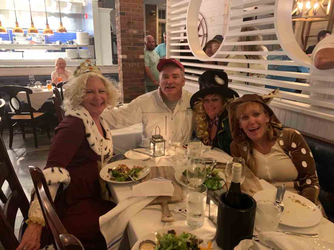
We were excited to be docked because we had just enough time to get cleaned up and go to dinner with our boater friends who were driving to Chesapeake to have dinner with us at the Butcher’s Son restaurant. Caroline and Ruth are the best friends anyone could ask for. We wished we could have kidnapped them for the rest of our trip.

Ruth, Marty, Teresa, Caroline

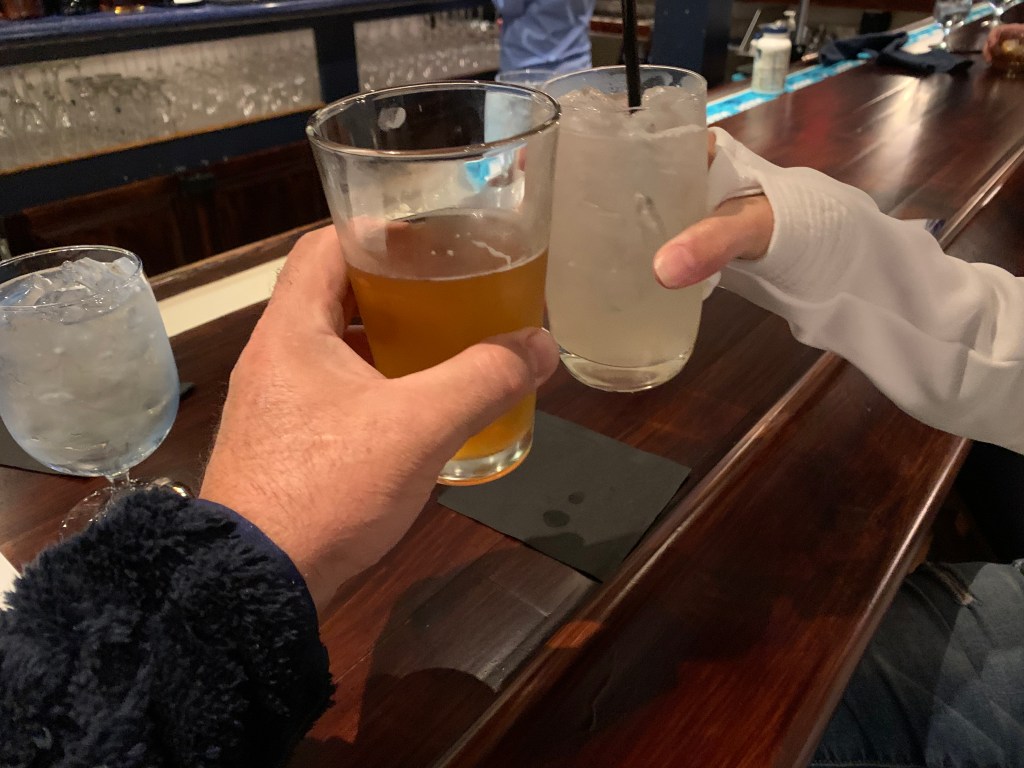
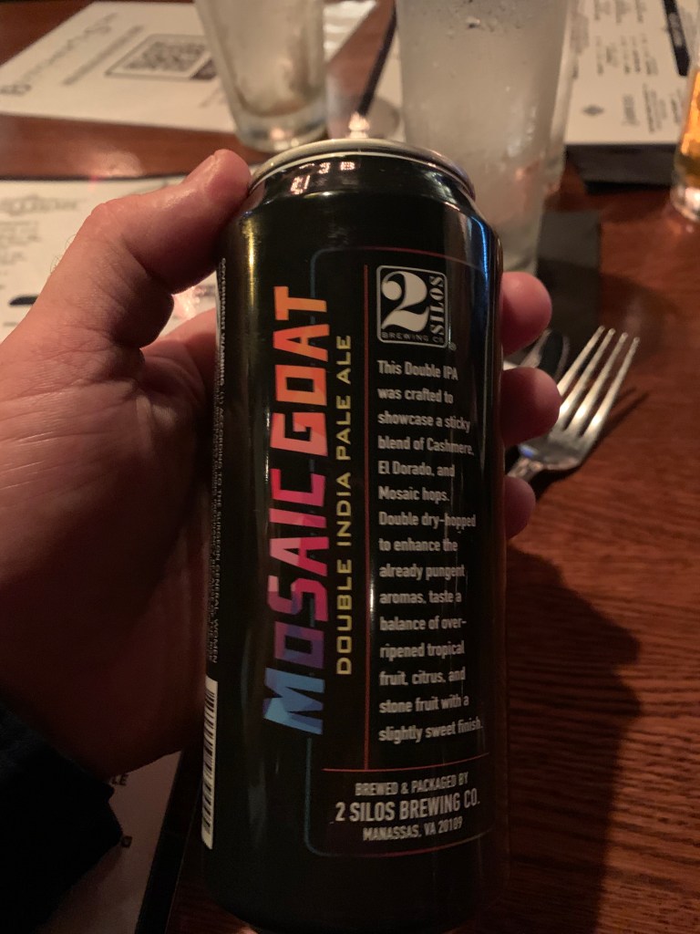
By the way that local Mosiac Goat IPA from 2 Silos Brewing was spectacular.

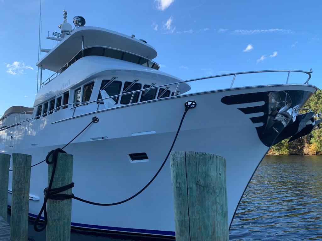
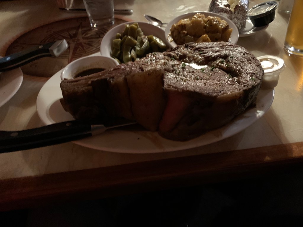
It was sad to leave our friends but the next morning we topped of the 1/2 full fuel tanks ($3000 worth of diesel) and set out for Coinjock Marina. When we arrived we saw MV iiwii was already tied up at the marina. We had just enough time to clean up and rush to get the Coinjock Restaurant’s famous 32 ounce prime rib special.

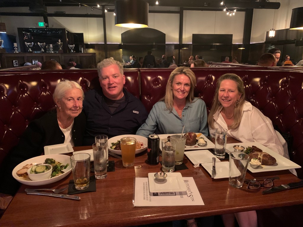
We actually ran into Fred and Sharon of MV iiwii and while waiting for a seat in the restaurant and Fred thought fast enough to tell the hostess that we would dine together as a party of 4 to make things easier. We enjoyed dinner with our new boater friends who entertained us with their boating stories from all over.

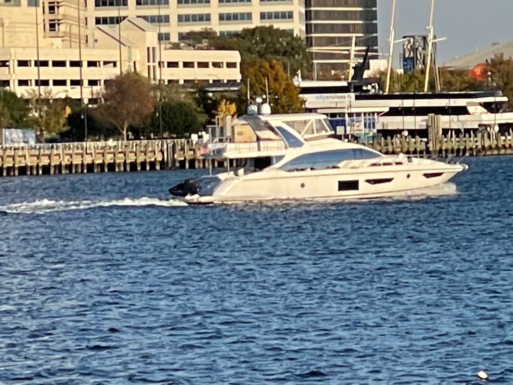
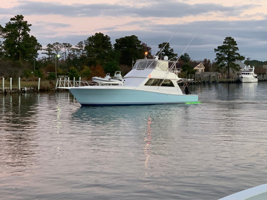
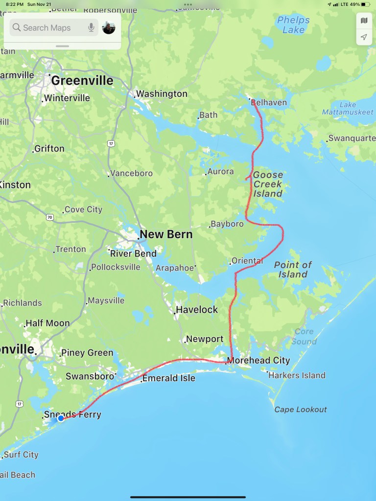
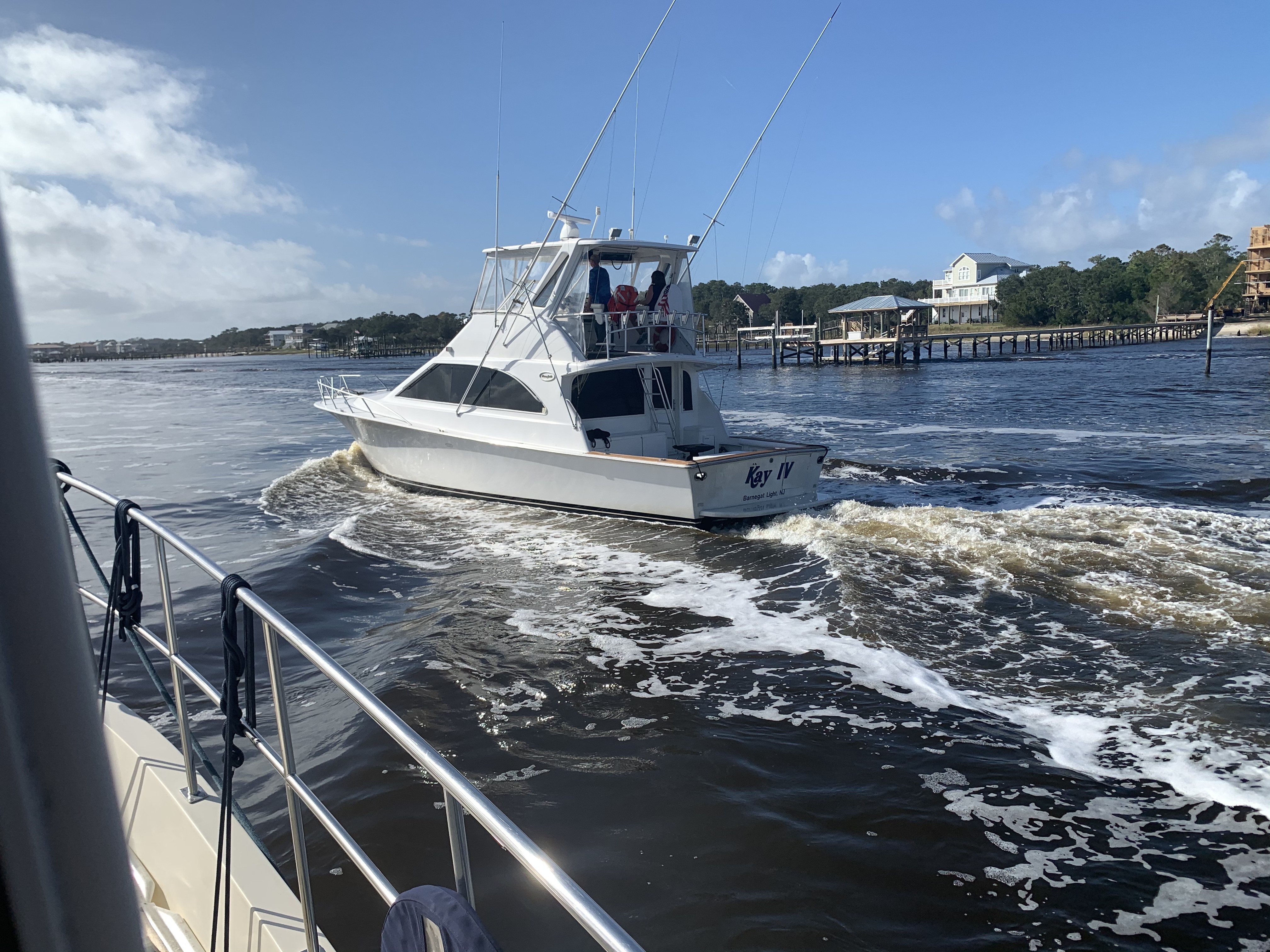
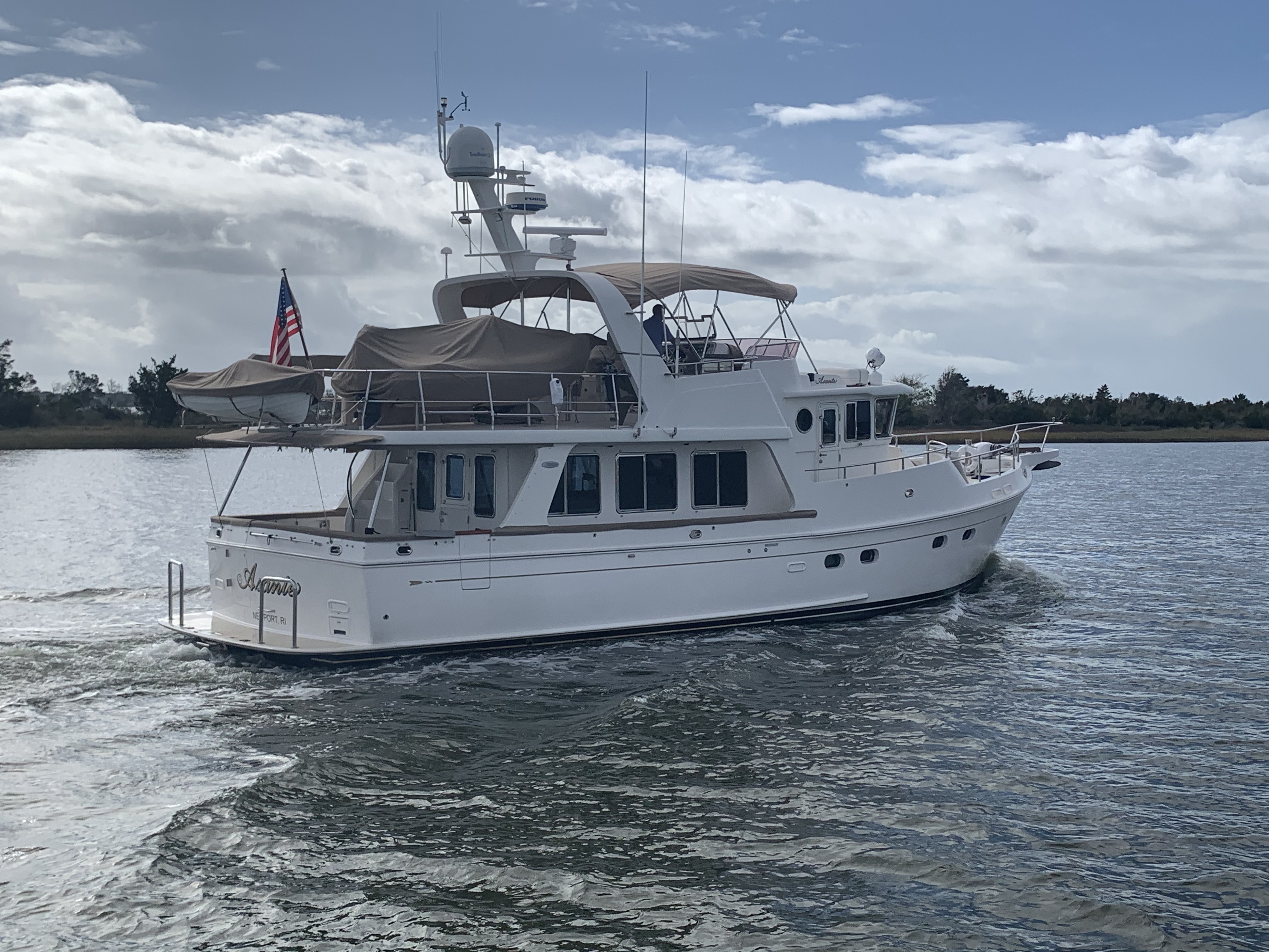
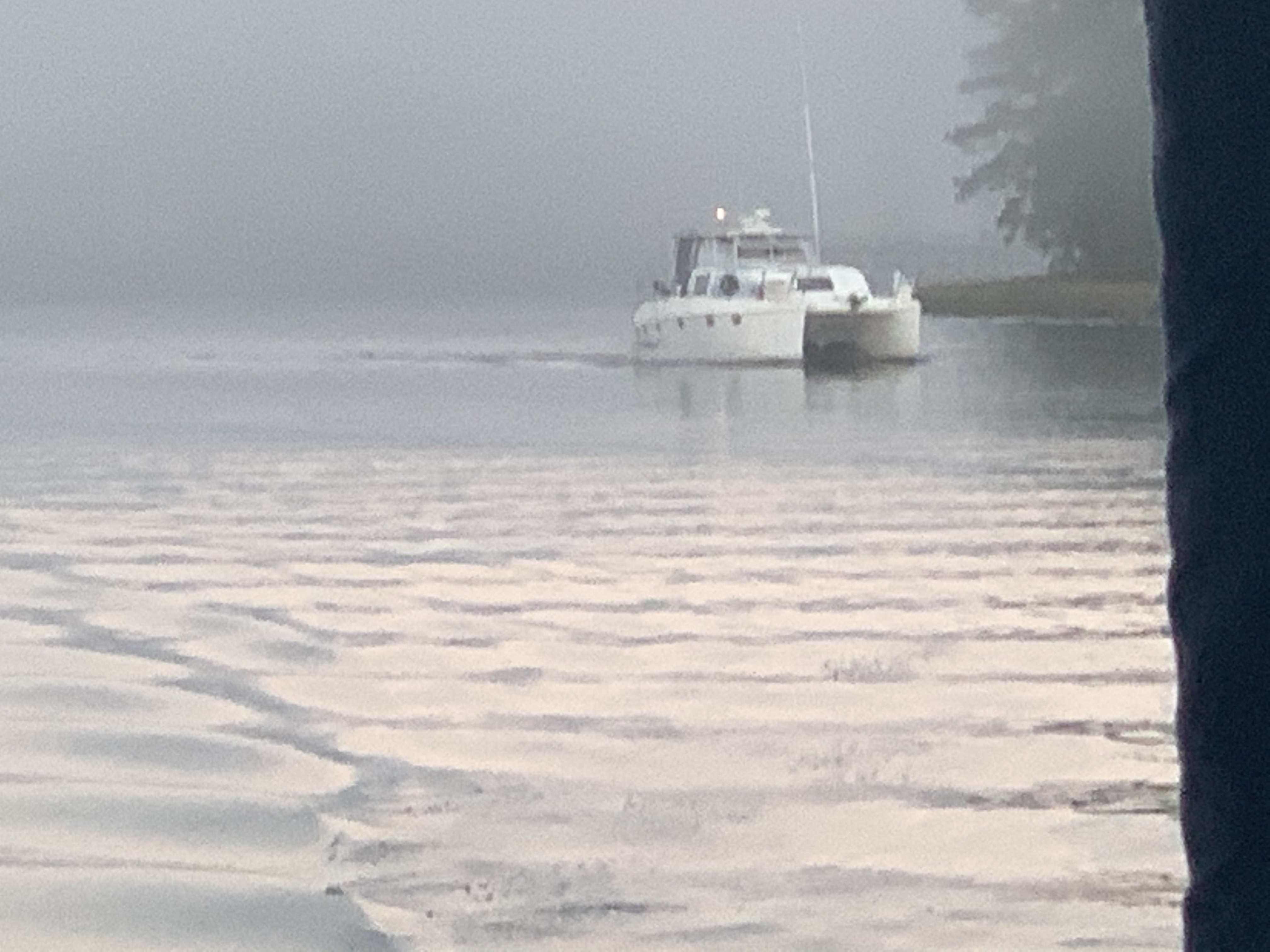
In the morning we cast off the lines and set out for Belhaven, NC. We snapped this photo of a nice looking sportfishing boat called MV McLovin which hailed from a port near me in RI.

Soon we were anchored in Belhaven, NC and enjoyed a night binge watching Friends. We are in Season #2 now.

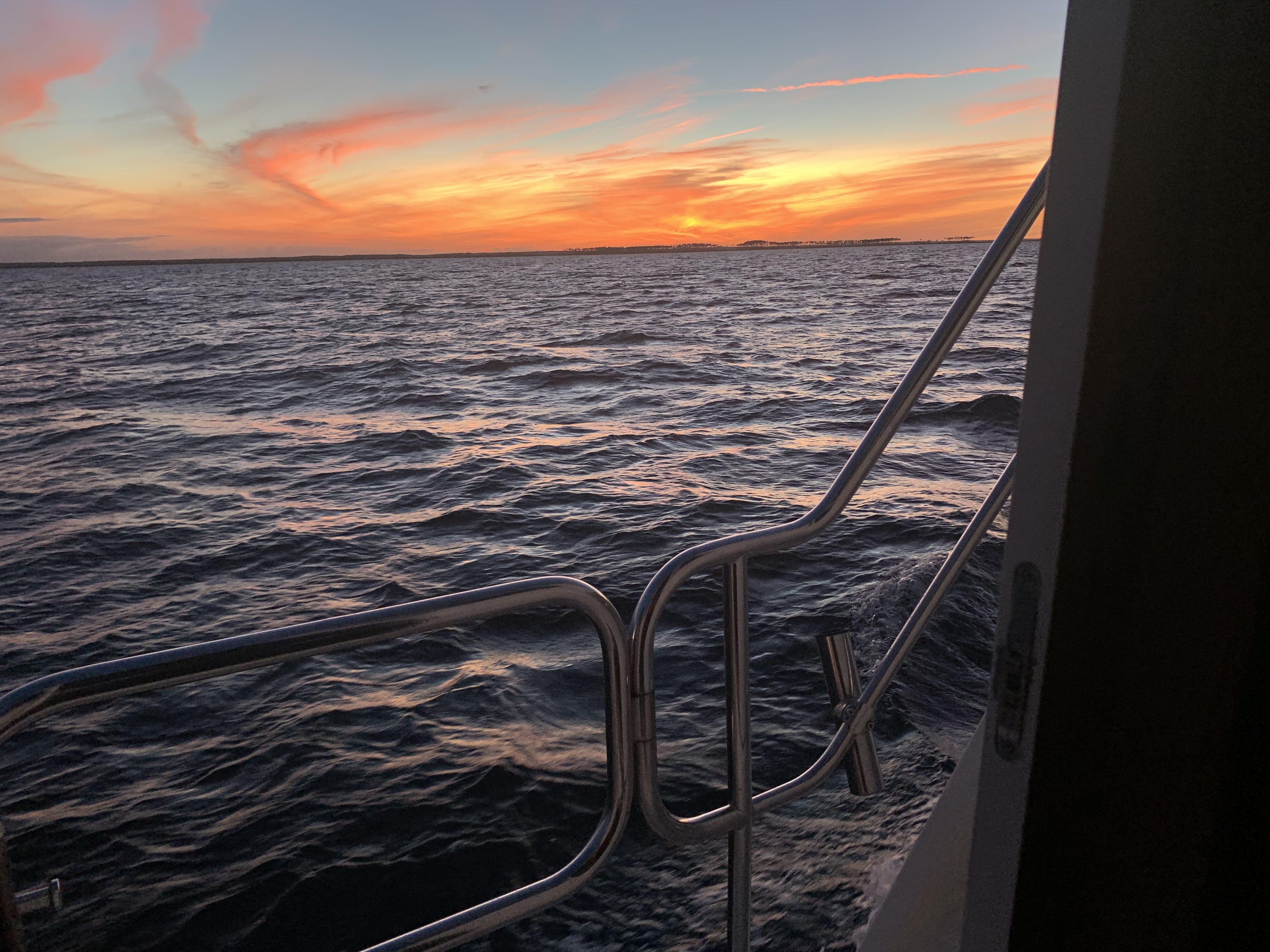
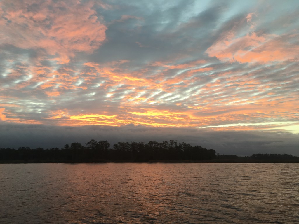
The sunrise was amazing in the morning.

Just before sunrise in Belhaven, NC

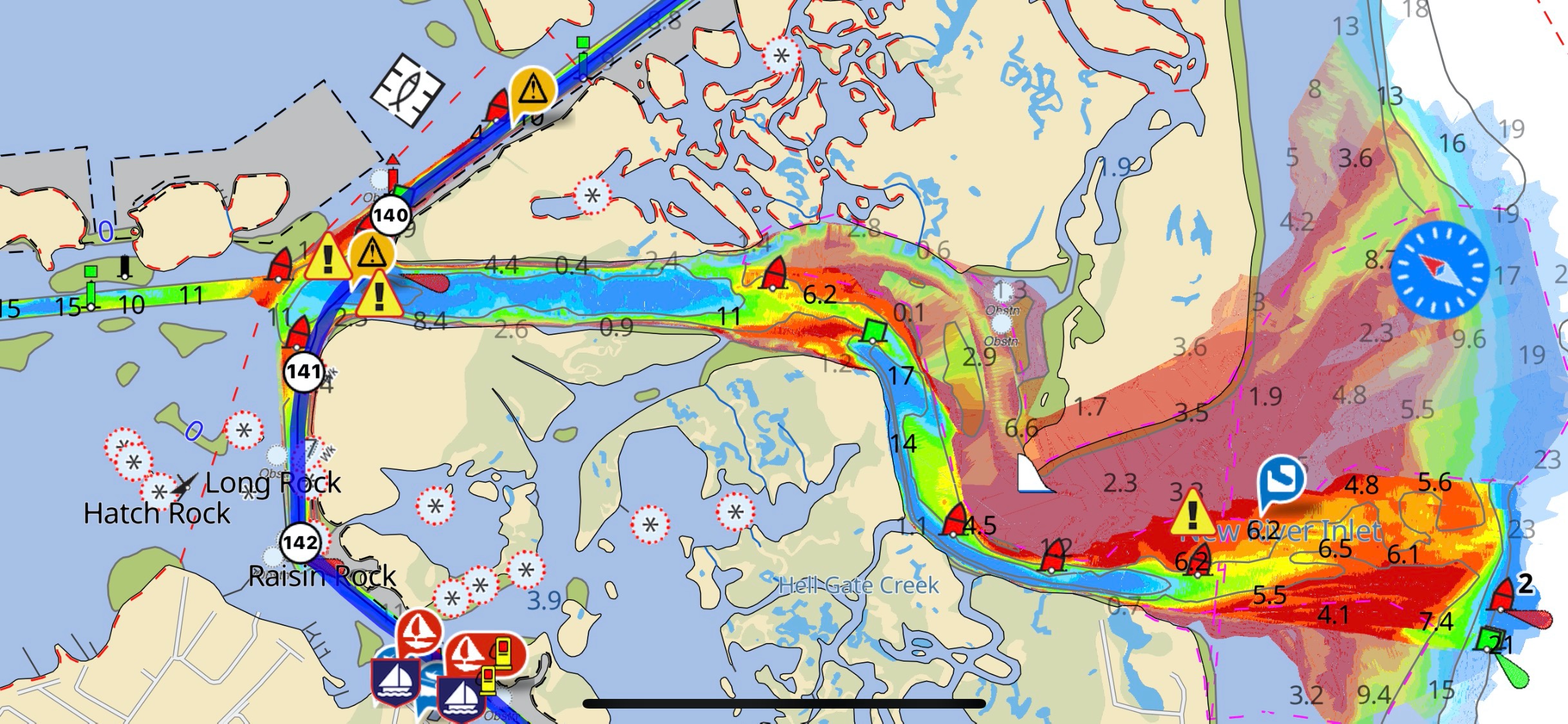
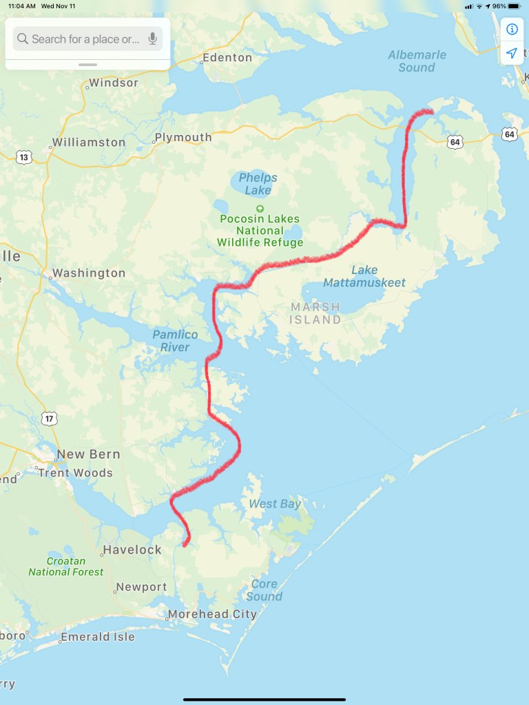
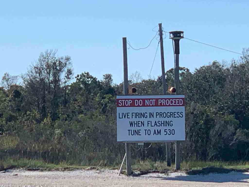
In the morning we weighed anchor and headed for Camp Legeune anchorage in Jacksonville, NC.

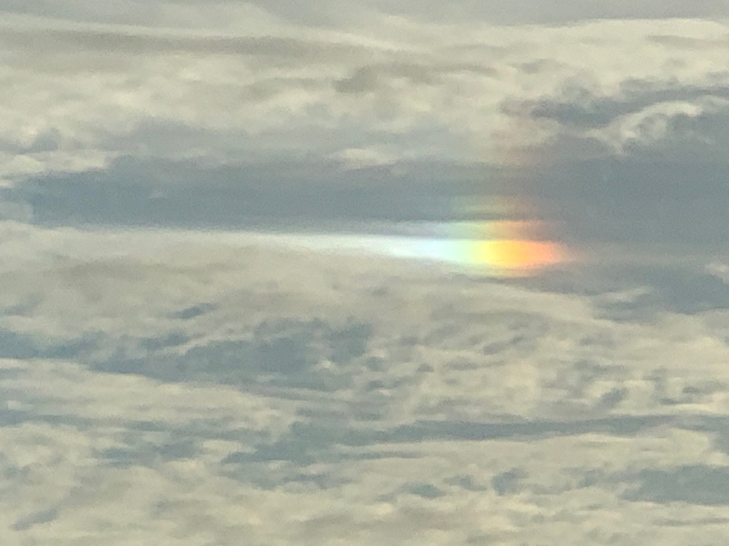
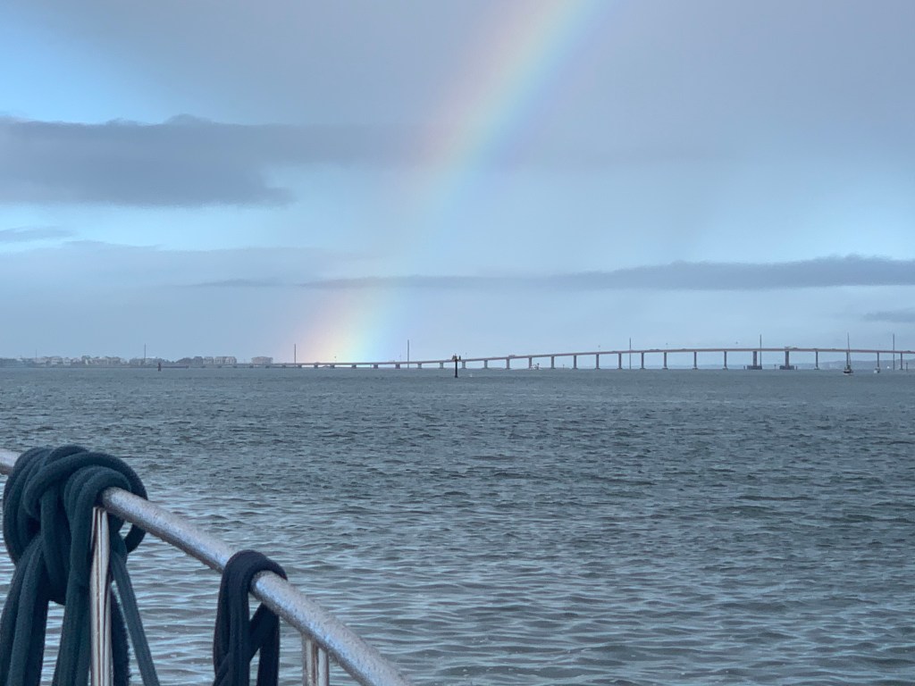
We saw the craziest rainbow spot in the sky. Not a whole rainbow but simply a dot in the sky?

Rainbow Spot?

We were now fast approaching Camp Lejeune.

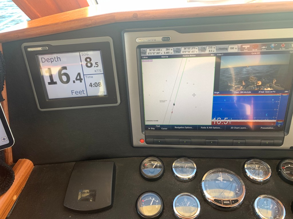
It was a long 100NM trip here today cruising at 10kts. We left as the sun was coming up and dropped anchor just as the sun was going down.

Sunset in Camp Lejeune

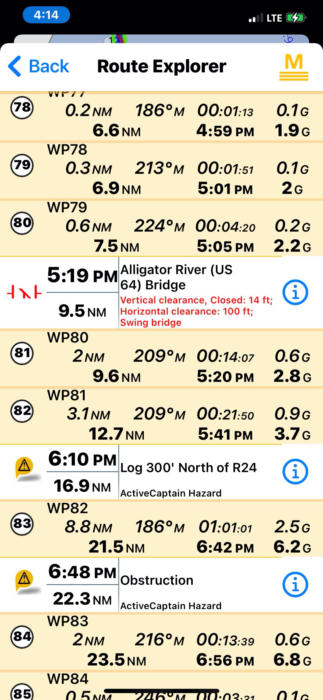
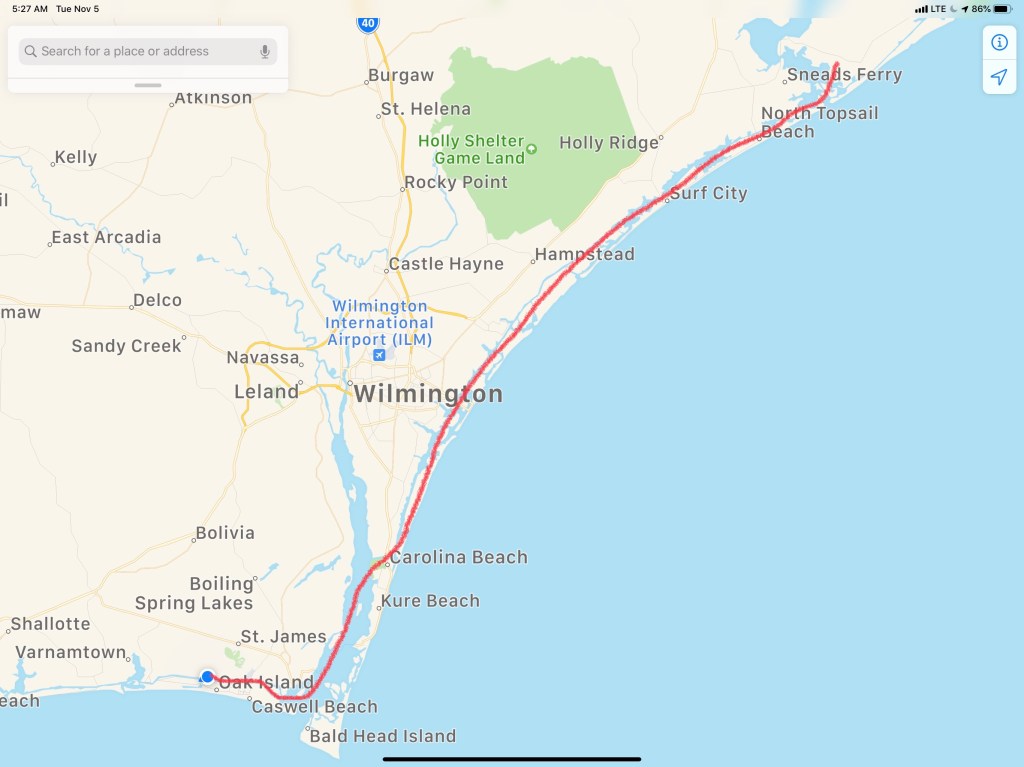
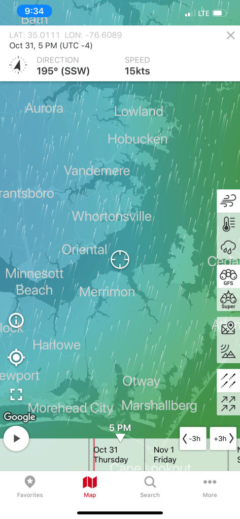
As I sit here anchored in Camp Lejeune I am finally getting a blog post out. The five unblogged legs of our journey that got us to this location looked something like this…

Beware of Boaters

Lockwood’s Folly

Lockwood’s Folly inlet comes upon you quickly after leaving SJP Marina and heading south.

Lockwood’s Folly is a known trouble spot for ICW shoaling. Every year, I download Bob Sherer’s (AKA Bob423) track that he uploads for free to his Facebook group called ICW Cruising Guide by Bob423 and his Fleetwing Blog. I used to stay up late each night after anchoring while I plotted my route for the next morning. Then a few years ago, I came across Bob posting his track online in a downloadable .GPX file format. I downloaded it and realized that he was quite skilled at making routes that avoided the many ICW hazards. I quickly realized the value in using his month-old track as well as Bob423’s 2020 ICW Cruising Guide. I’m on my fourth year of navigating from RI to the FL Keys. After eight years of doing the same, Bob joined the Waterway Guide, another popular ICW guide book/website.

Bob423’s Track

Bob’s track seen below in dark blue. It shows the proper shore-side route through Lockwood’s Folly.

Bob423’s Lockwood’s Folly route

The tide is two hours before low as I make my way south.

I play “hug a buoy” as I pass closely by a red buoy.

ATON 46A in Lockwood’s Folly

You can see the Atlantic Ocean as you look east out the inlet.

Atlantic Ocean surf can be heard as I pass

Rough Atlantic

Hearing the surf, I think… I’m glad I did not exit Southport this morning and take my chances running the outside. When making the inside vs. outside decision, I use apps like the NOAA Marine Forecast & Weather app on my iPhone.

Holden Beach

I passed this beautiful Nordhavn in Holden Beach.

Sexy Nordhavn

As I travel through Holden Beach I can’t help but notice what appears to be storm damage possibly from Hurricane Isaias back in August of 2020?

I’m not sure I can blame Hurricane Isaias for the fishing boat pictured below. The Second Law of Thermodynamics is at work here. Even Mother Nature has to follow the rules!

Increasing Entropy

Shallotte Inlet

The next inlet is Shallotte Inlet and it’s the same shallow story replayed.

USACE Hydrology coloring overplayed on charts using Aqua Map iPad app

If you want to know where it’s shallow… it’s where the birds are standing!

Sea birds facing into the wind

Beware of Boaters

Traveling the ICW you will encounter many boats that pass you in ways you don’t appreciate. Many times it is simply because the captain was not paying attention leading up your meeting. I’m guilty of loosing focus myself. Traveling solo in the helm seat for 10+ hours a day you can imagine I have zoned out quite a few times only to look up surprised by an oncoming boat.

I see a boat that is not staying “Right of Center” like you do on any road in America. I think to myself the captain will get right of center as we near each other.

Please keep right of center

I used to be bothered by this but it happens multiple times on every trip. You need to be ready to come to a complete stop if you must to avoid others on the ICW.

Less than an hour later I notice a small fishing boat crossing in front of me in the channel.

Small boat crossing ICW channel

As I approach they don’t make any gestures to alert me to the fact that they appear to be towing what I think was a net behind them in the channel. Luckily for me, they had a buoy marking the net’s approximate location in the water behind them. As I turned to avoid the net I heard my low water alarm go off and the boat start to slow as it plowed into the silty bottom. I quickly backed out and as I passed I heard someone from the small boat yell “sorry”.

Sexy Ladies

These sexy ladies passed me near Sunset Beach, NC. I believe they were a Hinckley, a Lazzara and an Outer Reef. The extra frothy wake from the Hinckley made me suspect a jet drive system rather than propeller?

Welcome to South Carolina

Finally I crossed into South Carolina. I like to acknowledge crossing state boarders even if… I am the only one aboard.

Just over the border

I am now cruising on a rising tide as I pass Little River Inlet.

Dunn Sound

More increasing entropy.

Every year I see less and less of this fishing boat still standing

Captain Poo

I made my way through the Little River Swing Bridge or as it is formally known since 2018, Captain Archie Neil Poo McLauchlin Swing Bridge. It’s named in honor of a local North Myrtle Beach boat captain who the locals enjoyed so much they nicknamed him Poo?

Cap’n Poo Bridge

Tropical Storm Eta

Tropical Storm Eta has the winds swirling and rain coming down at all angles today.

Winds from Eta as she passes near Myrtle Beach, SC

Sadly, multiple deaths from Eta flooding have been reported in the sounding area.

Eta was a lethal tropical storm for North Carolinians

As I travel down this stretch of the ICW, you can watch the storm water as it finds its way from the watershed to the river.

There is a lot of debris floating down the river. I’ve seen everything from a pumpkin float by…

Not sure why my iPhone photo coloring is so off?

… to full trees resting near the channel’s edge.

As I go by pilings sitting on the river’s bank, you can easily imagine these objects floating from the bank as the river rises.

hard rain washing objects into ICW

Rains from Tropical Storm Eta are falling like bullets on glass.

Bullet proof glass

#BigDeckEnergy

I go by this deck and grin.

All the confidence of a man in full control of his lawn …

#BigDeckEnergy
Feeling confident Captain 😉

Pronounced Sock-Ass-Tee

As I arrive at the 11 ft high Socastee Swing I am aware that it will not open with sustained winds 25+ mph. The bridge tender is not keen on letting me through but does.

Stock photo from a beautiful day unlike today

Osprey Marina

Rather than anchor in the Wacamaw river, I opt to stop at Osprey Marina.

Osprey Marina docks in the rain
Eta is not damping the mood aboard Simple Life. It is IPA O’clock!

Hot Pepper Jelly

I have stayed here several times before and I waste no time checking in so I can get my Osprey Marina goodie bag that always contains some crackers and yummy hot pepper jelly!

Osprey Marina Goodie bag contains their coveted Hot Pepper Jelly
Signage in the Osprey Marina dock house of the Hot Jelly Ladies

Winter 04 – Leg 011

The eleventh leg of my journey looked something like this…

W04L011 Route

SJP Marina

It is 4:50AM in Topsail, NC. The engine coolant temp was showing 91 degrees. Still warm from running the night before.

Topsail Creeping…

I crept past MV Doghouse around 6:30AM.

Sitting peaceful on anchor.

Sloop Creek

I made my way back out of Sloop Creek making sure the boat’s path stayed in deep water.

Crimes Against Food

What I do to food is a crime in most states.

Misc pasta with tuna and mayo and Cajun hot spice & pepper.

Somebody has a beautiful home along the ICW.

Love the wrap-around porch

I’m now passing ICW statue mile marker 280.

ICW Mile Marker

Wrightsville Beach Bridge

I am waiting for the opening of the Wrightsville Beach bascule bridge at the top of the 9th hour.

Wrightsville Beach Bridge

Bridge Tender Marina

Just on the other side of Wrightsville Beach Bridge is Bridge Tender Marina. Lots of boat porn as you motor past. Every boater prides him or herself on boat brand recognition. I struggle to recognize each of the boat manufactures as I slowly pass making sure not to wake the boats in the marina. Can you recognize any boat manufacturers? I zoomed in to find badging on a few but sometimes I look up the boat name in the USCG documented boat online search to find the manufacturer.

Speedsters

As I approach Carolina Beach, NC several large Sportfisher boats begin overtaking me. One after another.

Snow’s Cut

All these boats are now ahead of me as we turn into Snow’s Cut on the ICW.

I hear one of the boats hail another boat and ask to pass. I think to myself… this is not a good place to pass as I look down at my USACE hydrology overlay. I can see that the water is swift on the outside but slows on the inside, dropping sediment from the slow water and creating shallows.

Snow’s Cut near Carolina Beach, NC

I am about to hail the inside boat when I hear one of the Sportfishers call out on the VHF that it’s shallow in there and instructs the boat on the inside of the turn to turn back towards the outside of the turn. No boats grounded in that moment and any damage to propellers was avoided due to that heads up VHF call.

This sailboat at the other end of Snow’s Cut was not so lucky avoiding the shallows.

Sailboat hard aground

Cape Fear River

Snow’s Cut dumps you into the Cape Fear River and I am slowly passing a clam shell bucket dredge. Reminds me of that toy that little kids play with in the sand box.

Clam Shell Bucket Dredge in the Cape Fear River

I pass a tug with a large barge on a hip tow.

Tug with a barge in the Cape Fear River

Southport, NC

Now reaching where the ICW departs from the Cape Fear River I look over and see the famous Frying Pan restaurant. Named after Frying Pan Shoals found extending offshore from Southport, NC.

SJP Marina

Moments later I was running around the topsides of the boat while it’s driving itself on autopilot. I am setting fenders on both sides of the boat and prepping my dock lines so that I can back into my slip and tie her up. When I looked up I was actually going by the entrance to SJP Marina and had to run up and turn back a bit. There are moments when I’m running around performing the first mate’s job and the boat is just driving itself.

As I pull into the marina I see my friend Jim standing on the docks pointing me towards a slip.

SL docked in SJP

Load Up the Fridge

It’s alway a great feeling to pull into SJP and see Jim and Wende. They always extend a warm welcome and this time they were nice enough to pickup groceries for me so when I landed in the slip Jim was handing me grocery bags. I wasted no time in pulling out the griddle and frying up a large amount of peppers, onions and steak & potatoes. I like to fill my refrigerator full of precooked food. While I’m underway I can simply reheat food in the microwave. If I’m really in a pinch… I make the Cap’n Special which is microwave rice in the rice cooker with nacho chips and Stubbs Sweet Heat BBQ sauce and cheese. Yummy and simple.

Catching up with Jim & Wende

Later that night Jim and Wende would stop by with subs and beer and we enjoyed catching up in the cockpit of MV Simple Life. I look forward to hopefully seeing them again on my return trip north in April 2021. Jim surprised me with some local North Carolina IPAs.

Appalachian Mountain Brewery Long Leaf IPA – Yummy
Wicked Weed Brewing – Appalachian Session IPA

I was so busy enjoying myself I forgot to take a picture of the three of us for the SL blog. Next time!

SJP Marina is a beautiful location.

Today’s short 46NM journey looked something like this…

W04L010 – 46NM from Topsail Beach to St. James Plantation.

Boarded by the USCG

Floating above the seabed,
Chained to the ground,  
Waves of energy roll through me,
Riding the edge of sleep. 

First Light

I awake. It’s still dark. Why I can’t sleep late? Instead, the smell of coffee wafts.

Blue Light of Early Morning

Drizzle Smizzle

As I make my way down Adam’s Creek the drizzle can be seen on the pilothouse glass.

Drizzle

I’m feeling pushed… Pushed along to 7.4kts

1400 RPM should push me along at 6.5kts but I’m feeling the current on my stern.

As I make my way down Adam’s Creek I pass many boats on this drizzly morning.

As I approach the Core Creek Bridge the creek narrows and the water speeds up in an effort to squeeze through.

Newport Marshes

The Newport Marshes are just inland from Moorehead City and Beaufort. There is an area that can be confusing as the channel bifurcates. The Russell Slough Channel is a secondary channel that goes into the backside of Beaufort and the ICW channel breaks off to starboard when you are heading south to Florida. You must be careful to respect the ATONs (Aids TO Navigation) ie. buoys. I see a trawler approaching heading north and he notices that he is on the wrong side of the red buoy and performs a hard-over helm correction before getting right back on course. There is also a tiny anchorage right at the split. I have been tempted to use it but have always chickened out because there is a 4.9′ depth that I fear swinging into at low tide and resting on the bottom. I always keep that anchorage in mind if I’m in a pinch.

As I approach Moorehead City I must pass through a narrow rail bridge.

Hang a Roger @Moorehead City

When you get to Moorehead City you turn 90 degrees around a large building.

After making that turn I was greeted by a rainbow

Rainbow over Bogue Sound

As I travel through Bogue Sound I’m reminded that today’s run will go through many traditionally shallow locations and I’ll have to stay tight to my line to not bump the bottom.

Shallow & narrow in Bogue Sound

Boat Porn

As I go along I repeatedly have to pull the throttle back to idle to allow boats to give me a slow pass.

I almost missed slowing down for this diver down flag where these men were working on the bridge.

Diver Down

Divers Under the bridge

USCG Boarding

As I came into Swansboro I watched a USCG inflatable with three team members pass me and take up a course on my stern. Moments later they hailed me to tell me they wanted to board Simple Life. I cut speed to minimum make-way speed and explained that the best location to come along side and have crew jump aboard would be my stern swim platform. I felt only a slight bump and heard two Coasties coming through my salon. They greeted me warmly and asked if I was alone. I responded “yes” to which they replied … “oh, OK I guess you’ll have to keep piloting the boat and we’ll do our thing. They were doing a safety inspection which includes me showing them everything from sound devices, PFDs, throwable PFDs, signaling equipment, a digital copy of the USCG ColRegs. They also performed an engine room and bilge check as well as asked for my license and boat documentation. They were very professional and polite about searching through my current home. They gave me a passing grade and handed my my yellow boarded slip to keep for my records. I asked if I could take a picture for my blog and they said “No Problem”.

USCG Boarding Team

I like to keep everything digital on Simple Life.

Digital copy of the USCG ColRegs

Keep the Water Out

Sometimes it’s a challenge keeping the water out.

Sad to see

Marine Base Camp Lejeune

As I pass ICW statue mile 235, the shot up military vehicles and V22 Osprey aircraft overhead remind me that I’m approaching Marine Base Camp LeJeune.

Onslow Beach

As I arrive at the Onslow Beach Bridge I must wait in traffic for the next opening. The current was on my stern so I made sure to take a visual fix on land and hold my position fixed. Boats who were coming up behind were being pushed by the current past me. They are all faster than me so whenever faster traffic lines up behind me at a bridge I find it easier to let them pass you in line so that you can avoid the inevitable pass after the bridge. I backed my way into the current until I was the last in line. I watched as the boats swarmed like bees attempting not to hit one another.

Onslow Beach Bridge

Eyeballs Be Burning

As the sun gets low you’ll be seeing spots

Need to Hook Up

Now passing one of my favorite anchorages called Mile Hammocks Bay. The boat in front of me Kismet turns in. For a moment I start to follow but think… there is still three hours of daylight left. That said, the challenge with continuing on is… there is probably only one suitable anchorage within 3 hours range called Sloop Creek. If it’s full I could be running into the night looking for somewhere to drop the hook. I have never been to this anchorage so I study the entrance and make note of my expected arrival time which is after sunset. I decide to go for it.

When in route I can’t remember if the Surf City Swing Bridge has been replaced with a 65′ high fixed bridge. I use Apple Maps and it shows it in place. I switch to Google Maps and see it missing.

While enroute to the anchorage, I hear MV Doghouse hail me on the VHF. “Simple Life, do you know where there is an anchorage around here?”. I reply, Sloop Creek and they ask if they can follow me there. I jump at the chance to be helpful and reply “follow me”. We arrive at the anchorage. I do a quick circle to check the depths. It’s not deep or wide but… it’ll do for tonight.

Tyler Childers playing in Topsail, NC

Todays 69NM route looked something like this…

Dark Neuse

First light while anchored in the Alligator River is a nice way to start your day.

Anchored off East Lake, NC in the Alligator River

Getting Loopy

Last nights anchorage was peaceful. There was a light wind so we anchored far from the only lodge you can see lit up on the shore of East Lake, NC. I weigh anchor and do a loop around Effervescence IV.

A loop around Effervescence IV and heading for the deep area and the bridge

Debbie calls out “Good Morning” while standing on her bow. Glen and her are prepped to weigh anchor as we are looking to get underway before sunrise.

Effervescence IV at first light

Back in the Channel

As we make our way back to the channel and the Alligator River Swing Bridge the horizon starts to glow.

The sun is a coming…

Planned Route

The planned route for today is to travel at Simple Life’s efficient 6.5kts which will put us in Gale Creek as the sun sets. If we anchor in Gale Creek, in the morning we will motor out of the creek and into the Bay River => Neuse River => Adam’s Creek => Core Creek = Newport Marshes => Morehead City, NC and then south down Bogue Sound.

Morehead City is right next to Beaufort, NC where I often stop for an IPA in one of the many sailor bars there. Sometimes I opt to go out Beaufort entrance channel and run outside in the Atlantic down to Masonboro Inlet. I like to do this as it cuts out a few ICW areas where shoaling hazard occur. The hazzard areas correlate to where some of the inlets carry silt into the ICW. Inlets such as New River Inlet and New Topsail Inlet for instance.

This year Mother Ocean is not going to allow an outside transit as Hurricane Eta is raging in the Florida Keys and even this far north the forecast is for 5+ footers.

Near-shore forecast off Beaufort, NC
Hurricane Eta near the Florida Keys

As we approach the end of the Alligator River we make our way into the aptly named “Alligator River Pungo River Canal”. It’s a man-made cut through the land and I love to set my autopilot and see how long I can go before I have to make a correction.

AR-PR Canal

Parting Ways

While heading down the canal I can see my speed drop from 6.5kts to 6.1kts as we buck a current. It’s at this point that MV Effervescence IV hails me on the VHF asking if we can pick up the pace. I am aware that my pace is too slow for Glen and Debbie. Going this slow they will drop down to running on a single engine with the rudder over to keep her straight. At this point we decide that they will pass me and travel at a speed that is more appropriate for them. We wave and promise to find each other at some point further south.

Debbie snapped a photo and text’d it to me as she passed.
Picture thanks to Debbie Purcell

Dead Zone

The cell phone coverage is terrible in the canal. However, as expected, when you get close to either of the two bridges that cross you will get a signal while passing under.

Brief cell data connection

When you are at the helm and starring down at your phone, don’t forget to look up and spot these deadheads. Not the kind smoking weed at a Grateful Dead concert but the tree stump kind that just barely stick up out of the water.

Deadhead

The weather is amazing as I cruise along with both pilothouse doors open and Tyler Childers blaring out into the nothing that surrounds the canal.

A far cry from the snowy boat deck back in Warwick 8 days ago.

I find myself scratching my head as I pass this dock.

Hey Mr Builder, can you add a little more pitch to this corner of the roof?

A few days back was my post entitled ICW MM 0 and now I am passing a new ICW distance marker.

ICW Statute Mile 125

Easy Peasy Lemon Squeezy

Taking a boat south for the winter in the ICW is easy once you figure out the new methods of how to navigate the constantly changing ICW path. Just as I type and state how easy it is… I look up from my MacBook and see a depth of only 6.4′! Yikes, I was not paying attention while on autopilot and had slowly motored outside the narrow channel. A quick pull back of the throttle and course correction of 60 degree to port and I’m back safely in the channel.

I believe most groundings on the ICW happen as a result of lack of focus, distraction and not purposeful bad decisions. When you are navigating solo at a snails pace for 10-16 hours, day after day with little sleep, it’s easy to lose focus and run aground. When I read a Facebook Boating Group post about a captain running aground, I think… that could easily be me. I promised long ago never to snicker when hearing others throw shade at a captain who ran aground. There is a saying… “if you ain’t been aground, you ain’t been around”. Truth!

Aground on the ICW

The challenge to doing the ICW is… It’s a marathon not a sprint! Four years ago when I retired and set out running the ICW each Fall & Spring I could not wait to leave the bitter cold NE for warm and sunny Florida or the Bahamas. You spend sun up to sun down with your ass in the captains chair. Your desire to get there, has you pushing the throttle down. When you try to slow down you feel like …”I’m never going to get there!”. The trick is to relax and enjoy the ride. It took about two years for me to relax and just put-put along. When I’m foolish enough to give myself a schedule, I have learnt the proper way to “rush” is… not to go faster but… run longer into the day or night.

Finding Happiness

It takes time to slow down. I’m not laid-back but easy-going. Laid back people just don’t care about anything. I’m easy-going which is simply a way of saying rarely does anything bother me and when it does I usually say something like F-it and just go back to finding happiness some other way.

MBTI Perceiving or Judging?

Retirement gave me pause. Time to focus on understanding myself and what makes me happy. When you are so busy doing all the things that you “must do” you never know what you really “want to do”. Part of gaining a better understanding into who I am is studying personality profiling methods such as the MBTI (Myers-Briggs Type Indicator). I am a strongly-typed ENFP. Want to know what you are? Here is a free 100 question MBTI test that will tell you.

16 Personality Types – What type are you?

I always believed that everyone was obsessed like me with understanding the world around them and the meaning of life. I realize now that many spend their lives avoiding such questions as they just don’t have time or desire to seek such answers. I believe the answer is personal and everyone sees it different. Understanding the world around you and what’s inside of you will bring you happiness. For me … the meaning of life = pursuit of happiness. Knowing this helps me focus on living my best life. A simple Life. If you care to read about my Simple Life Philosophy, here is a link to it.

Simple Life

Once you begin to understand yourself and what you want out of life you can build yourself a mantra to act as a compass. This mantra is a quick way to remember how to make the many decisions you make each day.

Simple Life’s Mantra

  1. Free Will Trumps Destiny – Nothing happens for a reason. You cannot direct the winds but you can adjust your sails.
  2. Seek Truth – Understand the world and those around you. Tell the truth and seek those to offer you their true feelings. If you don’t know the truth, you can’t make a good decision.
  3. Stay Away From Stupid People – People who are acting stupid just don’t get it. They will cause you harm by simply being near them. Surround yourself with good people and they will bring happiness to your life.

Well anyway, back to my story about yesterday’s journey….

It’s getting late in the day. The sun is sinking low as I pass the RE Mayo Seafood company. I love seeing the large shrimp boats tied to their docks.

RE Mayo Seafood

As I make my way out into the Bay River the skyline is colorful.

Neuse River

I have decided to travel into the night to cover more ground. The moon will not rise in time so my trip down the Neuse River will be dark.

Neuse River at Night

I had to adjust my course a bit to avoid a beam sea as the winds blowing over Pamlico Sound have had a long fetch to build. Soon I am using my remote spotlight to spot pilings as I enter Adam’s Creek.

Red Daymarker Piling glowing in the dark when spotted.

I pull into tonights anchorage and it’s real shallow.

Danger Will Robinson!

Dead Low

I check the nearest tide station at the Core Creek Bridge to see if it will drop any lower leaving me aground?

I have arrived at dead low tide. Great news! Now anchored it’s time to enjoy a cold IPA and relax for the night.

Today’s 98NM route looked something like this…

Anchor in the Alligator

Morning Fog

Simple Life pulled away from the dock around 6:20AM. I was drifting in the river while I stowed my lines and fenders. Once stowed I pointed the boat south through the morning’s fog. MV Effervescence IV had also pulled away from the dock and had taken up my stern .I captured a few seconds of the morning’s fog on my phone.

Morning Fog on the Elizabeth River in Virginia

Sound Signals

As we moved through the fog I had my airhorns blasting on long every two minutes.

Sound Signals for Restricted Visibility Conditions

Great Bridge Lock

We had left the dock because just a mile or two down the river is the Great Bridge Lock. We wanted to get through the lock as quick as possible so that we could maximize the nautical miles we could put behind us by using all of the daylight. When we arrived at the lock we had to wait about 30 minutes for the next opening. Once inside the lock, we tied to the rubber numbered East wall so we did not have to set our fenders.

Great Bridge Lock
As I leave the lock I pass a steaming barge of dirt.

Great Bridge

You can see at the end of the above video that as soon as you exit the Great Bridge Lock you must stop and wait for the Great Bridge to open for you. I always remember the lock and the bridge being sync’d in time. When one let boats through the other was ready to let them through as well. Today however, we had to wait. More time spent not moving toward our nights proposed anchorage in the Alligator River.

Eventually the Great Bridge opened for us and we slipped beneath it’s large raised spans to find AYB (Atlantic Yacht Basin) on just the other side.

Encountering Barges

When you travel down a river the deepest part of the river is often the visual center. As you get away from the center and near the banks or edges of the river it can often shallow quickly. The ICW is a federal waterway which is responsible for moving goods up & down the US East Coast safe from storms on the Atlantic. Wide tug and barge combos will need that depth found in the center. If you need to pass a tug pushing a barge you need to give them the center. This often pushes you uncomfortably close to the shallow banks. Some boats will stop while the barge passes but most will communicate the pass over the VHF. The tugboat captain will usually say something like “I’d like a one-whistle pass” or “I’ll meet you on the one”. This jargon comes from the fact that boats use sound signals or either one or two short blasts of the horn to indicate what side of your boat they intend to pass on.

Tug, Gold Coast, pushing a barge north past recreational boaters going south

As the tug passes I check my AIS for information about the tug.

Tug Gold Coast AIS info

Crossing State Lines

When transiting the East coast I always enjoy the moments when I cross state lines. Some states I come and go in the day, ex. RI. Other states I can spend weeks in, ex. FL.

My iPhone shows Simple Life is nearing the North Carolina state line

North Carolina

Below are some of the sights as I approach North Carolina.

Who Doesn’t Love a Cuck?

Now passing through Coinjock, NC I spy a Chevy El Camino on the shore. I don’t know why but I feel like that car is perfect for Coinjock.

It’s a car, it’s a truck… it’s a Cuck

Get up an Go

This large yacht passed me at an amazing speed for such a large yacht. They were outside the channel while performing the pass. Their wake was not that bad as much of their hull is out of the water as they plane on top at high speed.

Wow that is fast for such a large boat


Daylight Fading

At this point in the day’s journey, we are about to cross Albemarle Sound. During the night before’s captain’s briefing, we had planned to cross Albemarle Sound and anchor just before the Alligator River Swing Bridge. Delays we encountered at the Great Bridge Lock have made it so the sun will set before we arrive at our anchorage. MV Effervescence IV has asked me if we could increase our speed so as to arrive while there is still light? The sun is setting at 5:03PM and the last quarter moon will not rise till 11:50PM. No moon makes for a dark night and nobody wants to hit a day marker piling or run over a crab pot float and get a line wrapped around your prop.

I agree to increase the speed from 6.5kts to 8.5kts.

Fuel Economy

Trawlers like most boats can get great fuel milage at a slow speed. However, for every 1/10 of a knot you go above that speed the MPG starts to plummet fast. At 6.5 kts I get 3NM/gal. At 8.5kts I get 1NM/gal. If you have to increase your speed to close to your top speed you will very quickly spike your dollars paid per mile. It is better to realize the needed increase early so you don’t have to do the worst case of increasing to near max. Planning and flexibility is the key to getting down the coast and still having $ for beer 😉

Albemarle Crossing

Today’s crossing of Albemarle Sound is one of the smoothest I’ve had.

Albemarle Sound is Flat
Scanning the Horizon
Wake

I find a boat’s wake hypnotizing to watch up close.

Today’s 71NM journey looked something like this…

W04L007

Movie Night at Osprey Marina

It was hard to leave St. James Plantation Marina as we were all having so much fun. I did capture a nice video of what I think is a great blue heron on the dock next to our boat.

Great Blue Heron or as I like to say “I ain’t Scared of you Monkey Bird”

As you head south of Southport, NC you pass several Atlantic Ocean inlets. Lockwood Lockwoods Folly inlet is pictured below and we could see the ocean waves as we motored past.

Looking out to Sea Through Lockwoods Folly Inlet

The ICW can be very shallow around these inlets as the strong currents deposit sand and silt creating shoals and shallows that you must stay clear of. I use an iPad app called Aqua Map and pay for the premium service called Aqua Map Master that displays the recent Army Corp of Engineers colorful sounding charts of these tricky locations. The sounding charts are color coded and red is the shallowest with blue being the deepest. Below  you can see what it looks like to pick a safe path through the shallows.

02 Lockwood Folly Shallow small
Shallotte Inlet USACE Sonar Charts

Shallotte Inlet was next and it too has a colorful sounding chart

03

When we got to Little River inlet we passed a commercial boat that has been wasting away on the shore for some time. I’m always amazed that it is still there when I come up in the Spring or down each Fall.

Little River Inlet Sunken Vessel

Along with navigating your way through the shallows you must request several bridge openings.  This bridge used to be called the “Captain Poo” swing bridge. I hailed the bridge tender on the VHF and he responded with “Little River” swing bridge. I personally enjoyed hailing “Capt. Poo, Capt. Poo!” over the new name.

Capt. Poo Swing Bridge

Our day underway was overcast and for a brief period it rained. Boating in the rain is not much fun unless you have a warm pilothouse. We were warm and dry while underway and for that I was happy.

Rainy Day in the Pilothouse

There were many beautiful sights to see along the route to Myrtle Beach.

This beautiful home appears to have an infinity pool.

Infinity Pool

We had made reservations at Osprey Marina and we were pushing hard to make it there before dark. As we went through the Socastee swing bridge the sun was getting low.

Socastee Swing Bridge

We were now in the Waccamaw River swamp and it can be beautiful as fog and mist light up in the setting sun.

Waccamaw River Swamp

We arrived at Osprey Marina while the sun was still up. We turned down the entrance channel and snapped a few photos of some interesting boats.

Osprey Marina Entrance Channel

One particular catamaran had an etched window that was different.

Troubled Pirates

Soon we were tied up and checked in for the night. I soon discovered that there was no WiFi! NO WIFI!!! Time to put on a movie to entertain the crew. Tonight’s movie …

Gone with the Wind (All 4 hours of it)

Scarlett and Rhett

Tomorrow we are bound for Charleston, SC

SJP For a Few Nights

The leg to St. James Plantation looked approximately like what’s pictured below.

Marine Base Camp Lejeune to St. James Plantation, NC

We made hash, eggs and bacon while underway.

Capt’s Favorite

As you approach Wrightsville Beach from the north you must request an opening of the Figure Eight Swing Bridge.

We passed these small boats trawling nets behind them. I believe they were going after bait fish that were schooling around us.

Small Boat Trawling a Net

As you approach the Cape Fear river you must first pass through Snow’s Cut that connects Carolina Beach with the Cape Fear river.

This old bridge base seems to be a popular hangout of the young kids

Once in the Cape Fear river you will find large ship and ferry terminals.

As we continued down river we had to cut through a sailing regatta. It was a halloween regatta and you guessed it… Pirate costumes were everywhere.

As we worked our way around the southern tip of Southport you could see it was standing room only on the back deck of the Fish Company restaurant and bar.

American Fish Company – Southport, NC

Map showing Cape Fear River and Southport, NC

Bald Head Island is a nice stop

As you round Southport the river narrows and the current was running strong against us. We passed this derelict commercial boat along the way.

Soon we were inside the small harbor of St. James Plantation. Our friends were kind enough to offer us their slip for however long we wished to stay. So nice to have friends like this 🙂 The slip was about 16 feet wide and it was a tight fit due to the kayaks stowed on either side of the fly deck. Luckily we have bow & stern thrusters and with the help of our friends who were waiting for us… we squeezed straight back into the slip.

Once docked we got to meet the Craig Thompson who graciously offered up his slip to us.

Craig giving us a thumbs up

We had lots of fun aboard Craig’s new 36′ Tiara Open. A beautiful boat for fishing off Cape Fear.

Jim, Marty, Renee

We got to enjoy a few cocktails with our feet up aboard Simple Life.

I always enjoy seeing Jim & Wende (who was in quarantine due to not feeling well, Get better soon!). It’s always lots of fun and this stay we were able to not only complete our provisioning (thanks for the use of your truck, Jim) but Jim also brought us a leaf blower so we could blow out our clothes dryer vent hose without needing to remove it.

Who know I should carry a leaf blower Simple Life?

We caught some football on the boobtube.

GB vs. LAC

Buddy & Renee did some kayaking around the St. James Marina and ICW.

Buddy & Renee

We thoroughly enjoyed our stay at St. James Marina. Jim came down to say goodbye and we snapped this pool noodle pic. Jim likes to start new fashion trends and we are thinking this could be all the rage!

Thanks Jim!

Next stop Charleston, SC!

Marine Base Camp Lejeune

As we departed Beaufort, NC we quickly past Morehead City, NC.

The day’s journey looked something like this..

Approximate Route from Beaufort to Marine Base Camp Lejeune

As you approach Camp Lejeune you will see warning signs about live fire exercises.

STOP

As we approached Camp Lejeune we had an Osprey aircraft buzzing us from overhead.

Camp Lejeune Osprey Aircraft Buzzing MV Simple Life

Once inside the anchorage we quickly found some space to drop anchor for the night as the sun was setting.

Camp Lejeune Sunset

The next morning we departed as the sun popped back up.

I am looking forward to today’s stop at St. James Plantation, NC to meet up with friends.

Beaufort NC

The sound of the anchor weighing lets you know that a new leg of the journey has begun.

First Light
Looking Back

The forecast for today included a fresh breeze. We understood that meant we’d be salting up the boat with the spray kicked up from the wind.

Pamlico River Wind Speed & Direction
Neuse River Wind Speed & Direction
Underway in the Neuse River

The trip to Beaufort, NC looked something close to this.

Alligator River Pungo River – Beaufort, NC

Buddy & Renee placed the anniheim, poblano & jalapeño peppers & onions in the stove for today’s green chile soup.

Green Chile Soup

Soon we were passing the USCG station in Hobucken, NC.

USCG station in Hobucken, NC

Just next door is the R.E. Mayo Seafood company with its fleet of commercial boats.

We entered Adam’s Creek and found a beautiful Kadey Krogen being pulled off a shoal by a tow boat. It’ looked like an ant pulling a boulder on a string.

Tow Boat US

Once in Adam’s Creek we passed another ICW statute mile marker as well as beautiful homes and yachts.

At this point I happened to see a Facebook group post about 50MPH gusts off the Jersey Coast. This made me smile thinking we made the right decision not to stop in NYC and get trapped by weather.

As we came into Beaufort, NC the wind was gusting and the current was flowing fast past the docks. Docking was challenging but we managed to back her into the slip with some assistance from the dock-hands.

MV Simple Life Slipped at Beaufort Docks

This pilothouse sailboat caught my eye and the yacht hailed from East Greenwich, RI. E. Greenwich is around the corner from where I spend my summers. Beaufort Docks Marina seems to always be chock full of northern boats.

Once in the slip it was time to check in and request use the sporty loaner car for provisioning.

Now provisioned it was time to walk to Moonrakers for some Halloween dinner & drinks.

I snapped a few quick pictures on our walk back to Simple Life.

Tomorrow, it’s on to SJP – St. James Plantation.