Breakfast in Delaroche Creek, griddle style. YUMM!

We don’t know if we are gaining or losing weight? We don’t have a scale onboard. I’m sure cooking my favorite breakfast this morning is not helping but how can you say no to hash-n-eggs with wheat toast?
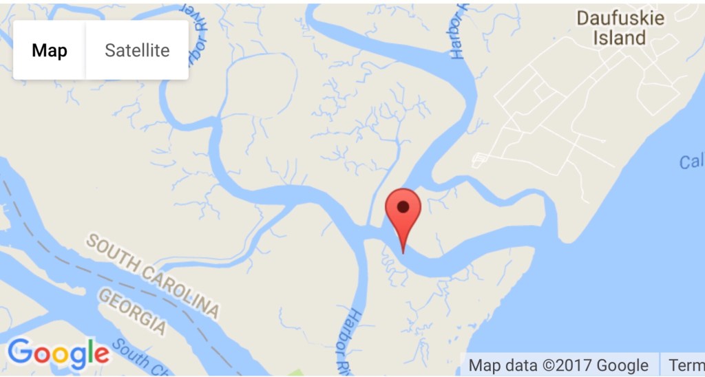
Our trip today took us from Delaroche Creek (about the middle of Cumberland Island, GA) to Jacksonville, FL.

On our way into Cumberland Sound the VHF radio crackled with a warning from the US Navy. There was a warship in the area and they advised all vessels to heed the 500 yard perimeter around the ship. M/V Simple Life does not have guns or armor plate so we made our way cautiously into Cumberland Sound with two other boats, “S/V Whiskey Me Away” and “M/V Redtail”.
M/V Redtail (pictured below) appears to be a 42′ Kadey Krogen which is similar in size and style to our 43′ North Pacific raised pilothouse. Kelly and I love the classic lines of a Kadey Krogen.

As we approached Kings Bay, this Navy patrol boat with blue lights flashing moved out of my way after we hailed them on 16. (Note the machine gun on the bow)

We passed some sort of observation tower (maybe connected to the Navy base or the nearby plant/factory?)

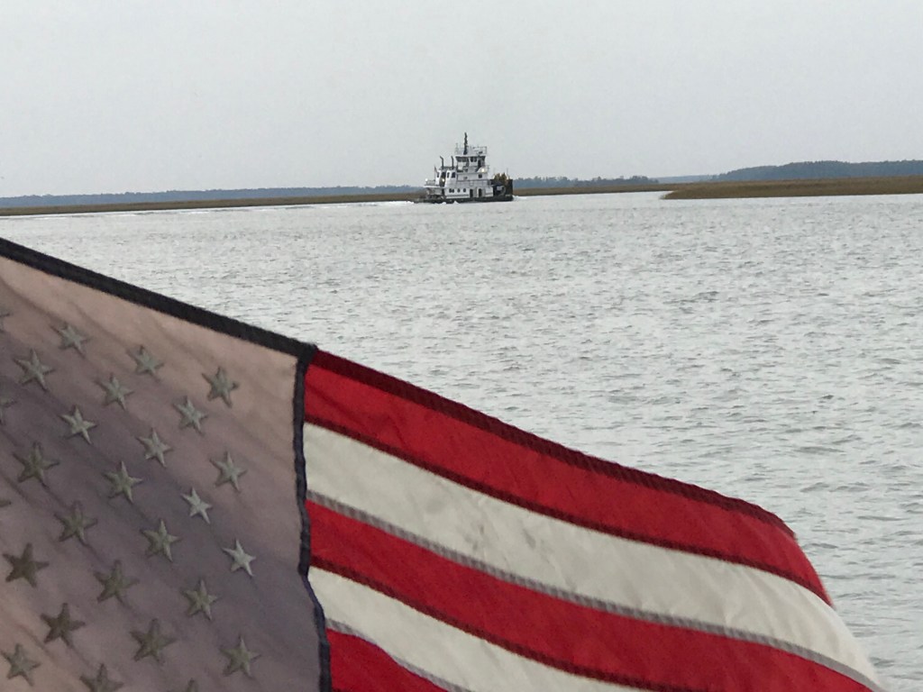
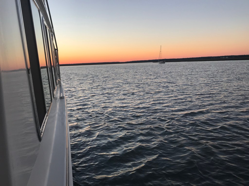
Next it was into the Amelia River near Fernandina Beach. As we made our way South along Amelia Island, the current was strong and there were many sights to see.

The mast pictured above was the only thing sticking above the water of this boat.
This sailboats keel was missing as she laid on the shore.

Below this Amelia Research and Recovery vessel was jacked out of the water on pilings. Note the black marine day shapes on her pilothouse roof. They are signaling her as “restricted in her ability to maneuver”.

Pictured below is a guy on some kind of tiny single chair dingy with a cooler. He seemed to be enjoying himself just cruising around.

The barge below passed us with what looks like vessel debris from Atlantic hurricane season 2017 and especially hurricane Irma which hit Jacksonville hard.

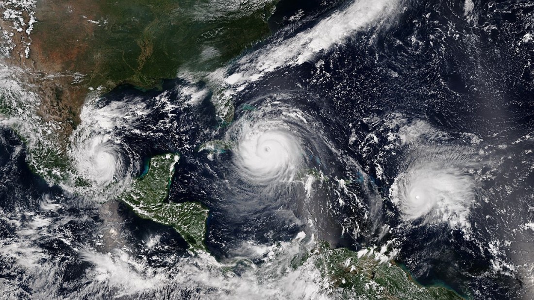
Three simultaneous hurricanes active on September 8, with Katia (left), Irma (center), and Jose (right), the first such occurrence since 2010.
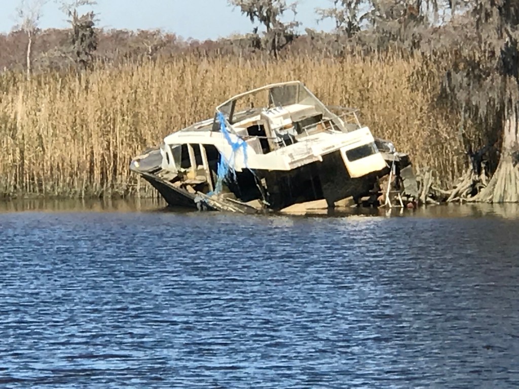
Below is a boat that landed on the shore. She appears in good shape but I would not want my propeller and thru-hulls sitting in the mud like that. Especially when the tide comes back in and the wakes are rocking the boat.

A Tip of the Hat: Navigating around the shallows in this area was made easier by the .gpx downloadable routes provided by Mr. Robert Sherer. Bob and his wife Ann have a great Fleetwing sailing blog that I follow. Bob has been cruising the ICW for a few years now and helps other sailors avoid running aground.
Even the crab pots seem to find themselves aground at low tide.


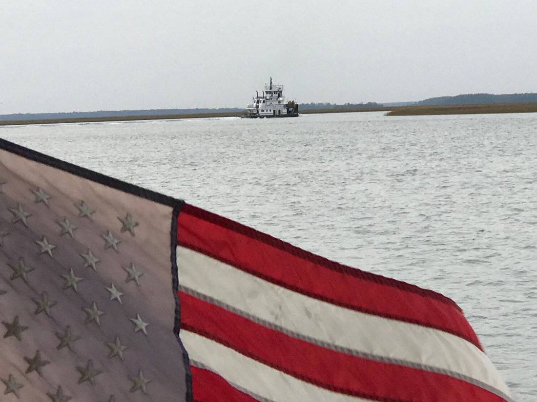
When we arrived at our planned anchorage, it was clear that it was far too narrow for us to be able to anchor in for the night. We pushed on and tried several other anchorages but they were either full like the free-docks in Jacksonville or just extremely exposed to current, wakes and wind. We made the decision to go up the St. John’s River as the sun was setting. I quickly realized that this was not a good idea when I felt the strong current that was running against us. There was also large commercial traffic moving swiftly down current. This tug and barge that hailed us by name before the captain ever saw us. The captain was able to do this because of the AIS (Automatic Identification System) that Kelly & I installed. You don’t want to be stuck in that current in the path of something like this when the current is pushing her hard at you.

AIS made us aware in time to stay out of her path.
We did not want to wind up like this poor motor yacht along the shores of the St. John’s River.

We scoured the charts looking for a good location that would protect us from this strong current and picked the backside of an unnamed island near Jacksonville center.

The only challenge was there was not enough water for us to enter. It was too shallow. With the sun quickly setting, we probed to find a way in. The first two attempts had the bow pushing into a soft silty shoal. The third attempt and we found a way over the shoal with an inch or two to spare. We quickly found our way into deeper water behind the island. We anchored up and it turned out to be a wonderful peaceful anchorage for the night.
30.301580
-81.657516
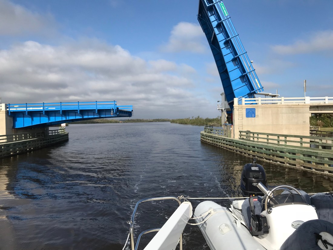


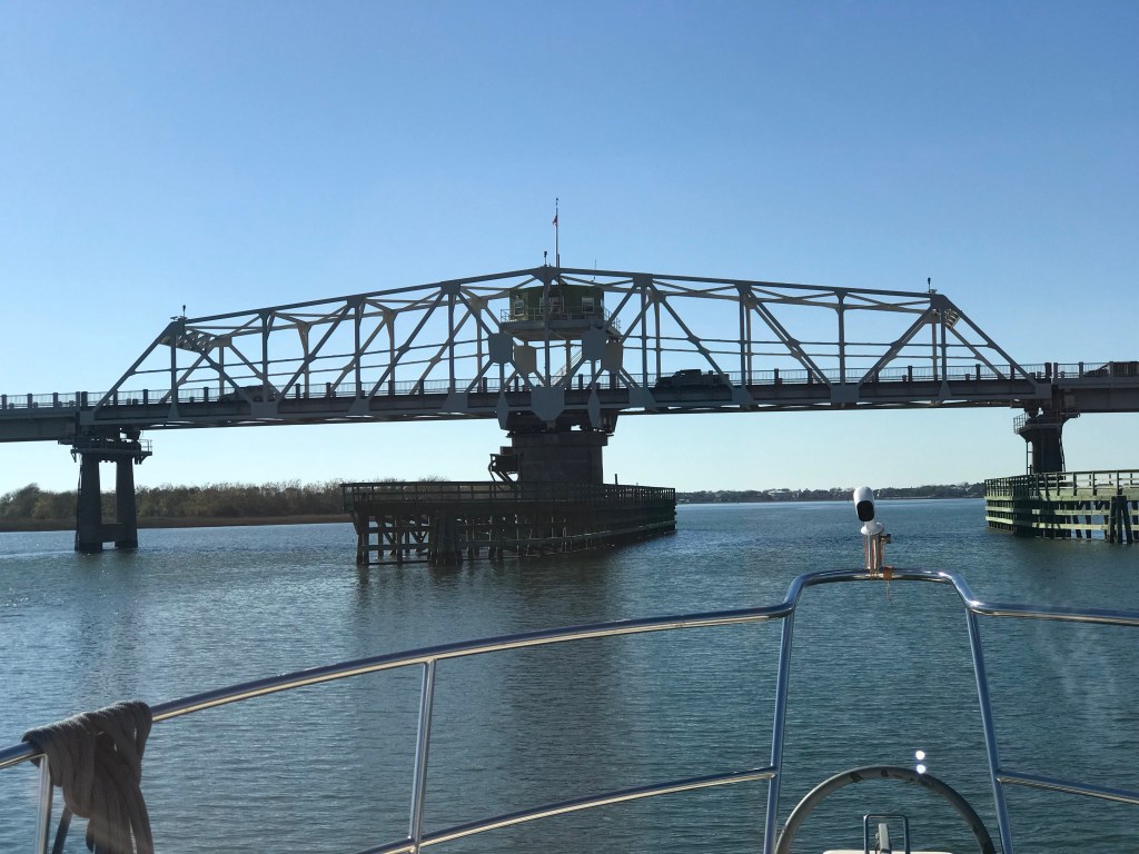
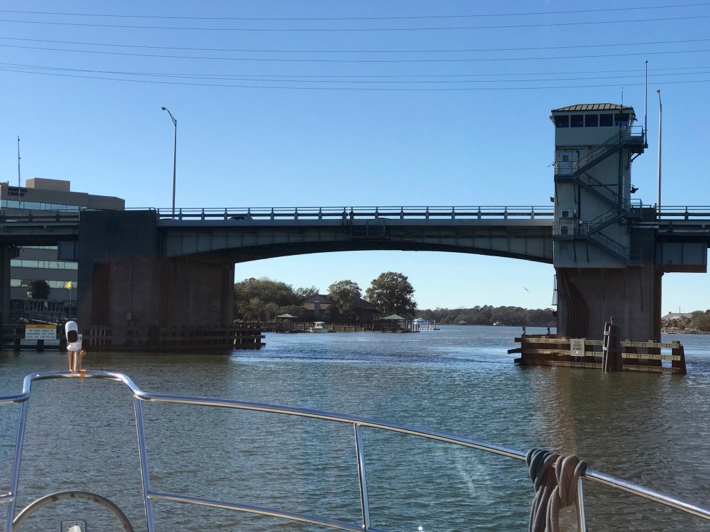
 The next morning we re-provisioned the boat using a grocery delivery service. Kelly used her iPhone to place her order and set the delivery time the night before. We awoke to texts from our personal shopper texting us that she was on her way to the marina and and she would be the “girl in the gray Toyota”. After re-provisioning we spent the day taking on some more water and while Kelly cleaned the inside of the boat, I washed the outside. It was 80 something degrees out and seemed odd as Christmas is just a few days away. The next morning we shoved off and had no sooner started South down the ICW and we ran into a restricted bascule bridge and had to anchor for 45 minutes while we waited for it’s 12:30PM opening. Along the river bank you could see the fortress called


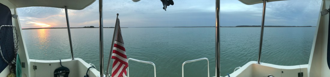

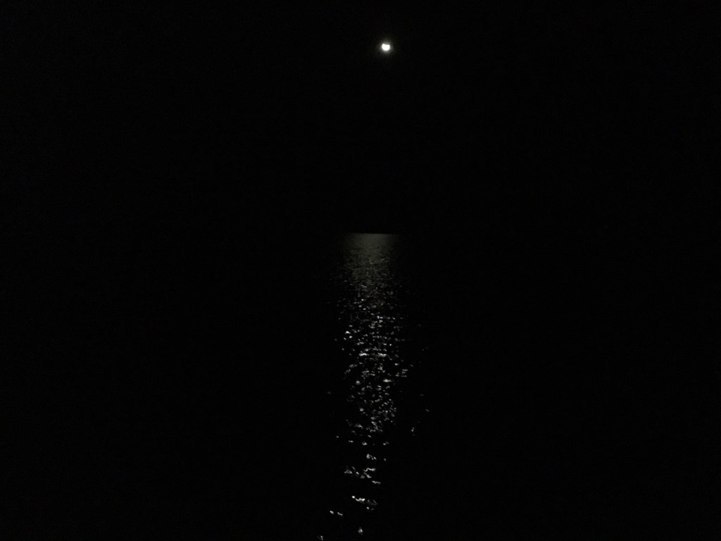
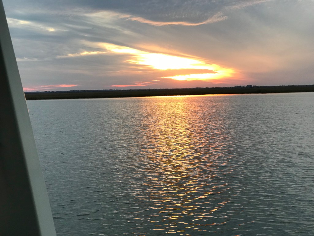 We awoke around 4 AM and snapped this pic looking off the stern of the boat.


 I’m dying to see one of those live oaks that look like something out of a fairytale down here.


 Each Division / District has its own website so you’ll have to spend some time finding the hydrologic maps from each ACE District.
  That’s a narrow drugged channel that you must stay inside of
  Stay to Port.
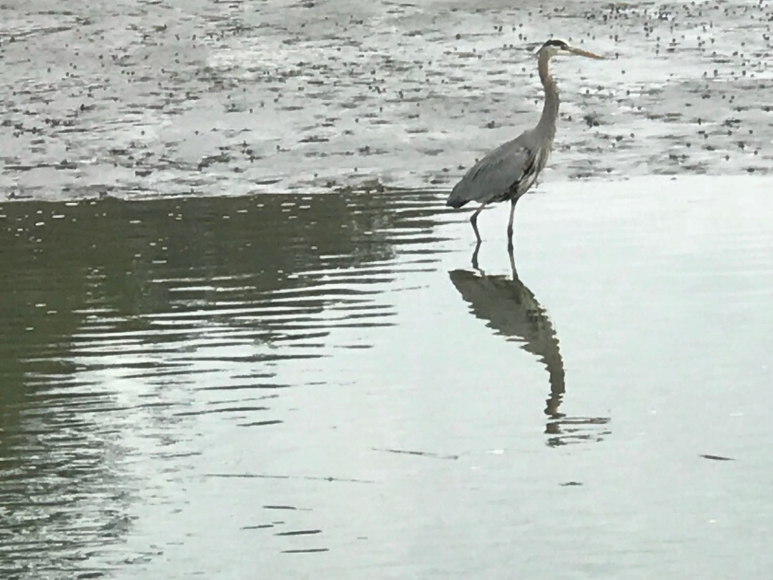
 We have no idea what species of bird this is but we are committed to learning more about the aquatic bird species that inhabit the ICW.


 I think the sign said something like Greg Norman’s Australian grille
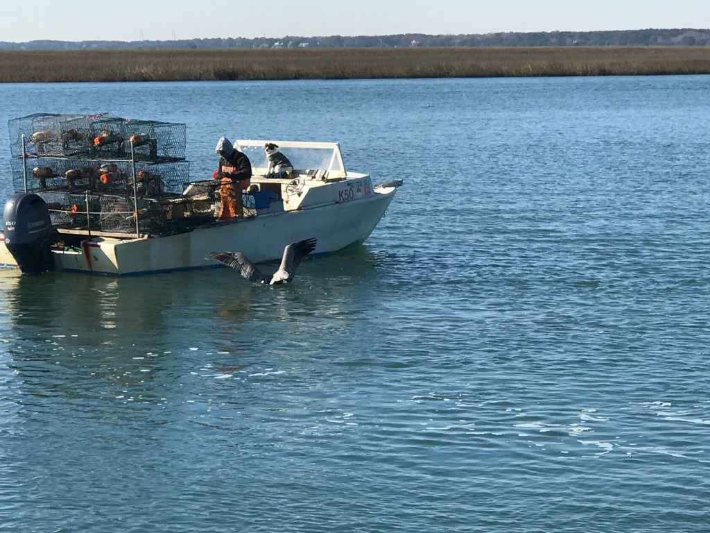
 We love that this guy was taking his dog for a ride. Man’s best friend loves the boat says Happy & Chief Martin Brody.
  “Born 200 years too late” – Jimmy Buffett
 Somewhere Myrtle Beach
 Close Encounters or an airport building, you decide.
 Who wants to walk under this rack with high winds and a 10K lb boat resting 80′ over your head?
 Logs are the bumps in road of life They thud your hull or fold your wheel (that’s a propeller for the un-initiated)
 We hate to see beautiful commercial fishing boats listing on the bottom. We joke that we’d love to pull her up drain her beige, gut her and rebuild her giving her a sexy teak makeover. Kelly reminds me that the stink of a fishing boat is not washed off with soap.
 Ouch!
Ouch!


You must be logged in to post a comment.