St. James Plantation with Friends

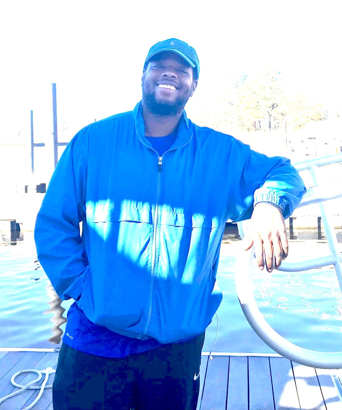
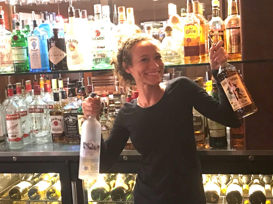
We are leaving St. James Plantation Marina in Southport, NC this morning but made a promise to come back and spend more time with our friends Jim & Wende. They were very gracious hosts while we were here and we got to share in the experience of being in a “private town”. So very interesting though I must say Kelly & I will have to investigate exactly what that means?

Wende Kelly Jim Marty

Thanks Jim & Wende, you showed us a great night off the boat and we promise to come back and spend more time.

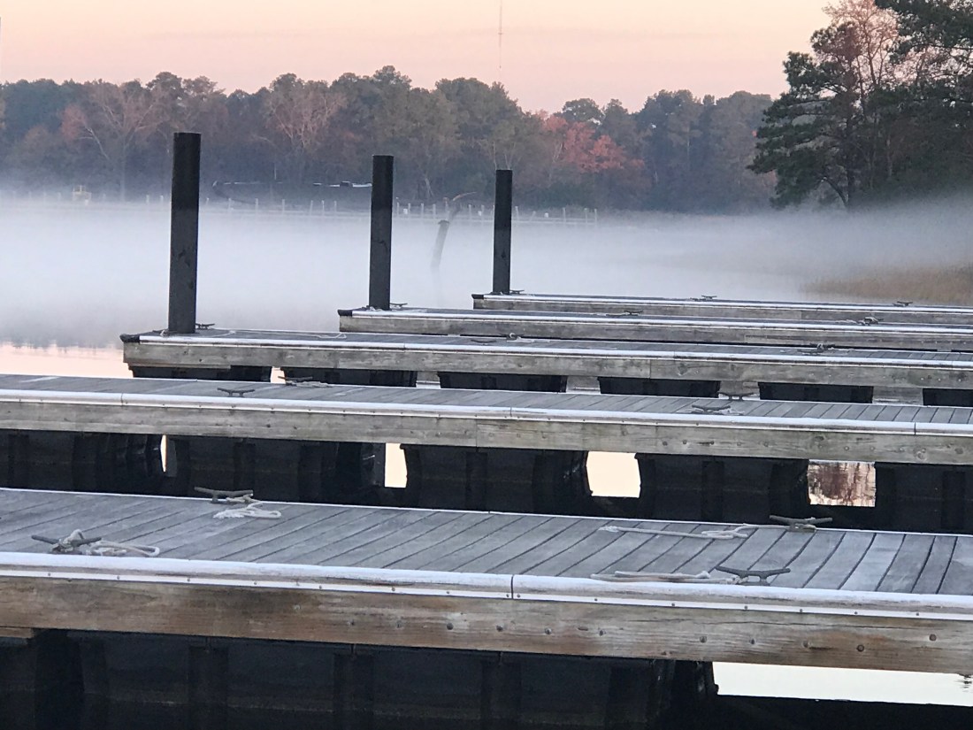
The night before we had anchored in Sloop Point, NC and the trip down to Southport was an interesting one. We saw heavy equipment dredging around what looked like a new pier going in. I know what salt water does to steel and I still shudder at the thought of dipping an excavator’s arm into salty water. I’m sure the water in the ICW is brackish but still.

Dredging Excavators

I was checking my ICW bridge list and realized that I would not make the Figure Eight Swing Bridge in time for their restricted opening time. This meant that I would be waiting for the next opening. However the bridge tender who I had hailed on the VHF asked me about my air-draft. Your “draft” is your vessels depth in the water and your “air-draft” is your vessel’s height above the water. I replied that I believed it was somewhere between 21-22 feet. The bridge tender remarked that he currently had 22′ of clearance. Every bridge along the ICW has a “height board” that is partially submerged under the water with height markers at the waterline. While all bridges on your nautical charts will list their height at an average high tide, the actual vertical clearance varies with the height of the water. The bridge tender offered to come out of his office and stand under the bridge to check my clearance if I wished to approach the bridge slowly. This can be a tricky maneuver as there was a current pushing Simple Life toward the bridge. I slowly edged the boat idling in reverse to the bridge and bridge tender assured me that I had a good 6″ of gap between the top of our boat and the bottom of the bridge. MV Simple Life’s air-draft is 21′ 6″.

Below is a stock photo of the Figure Eight Swing Bridge as I was too busy at the helm to snap pictures. You can see I circled the “height board” and at the time this picture was taken there was slightly less water under the bridge giving even more clearance than the 22′ we had the other day.

Figure Eight Swing Bridge

Just a few more miles down the ICW and we had to pass through the Wrightsville Beach Bascule Bridge located at statute mile 278 along the ICW. This is a restricted bridge that only opens on the top of the hour.

Wrightsville Beach Bascule Bridge

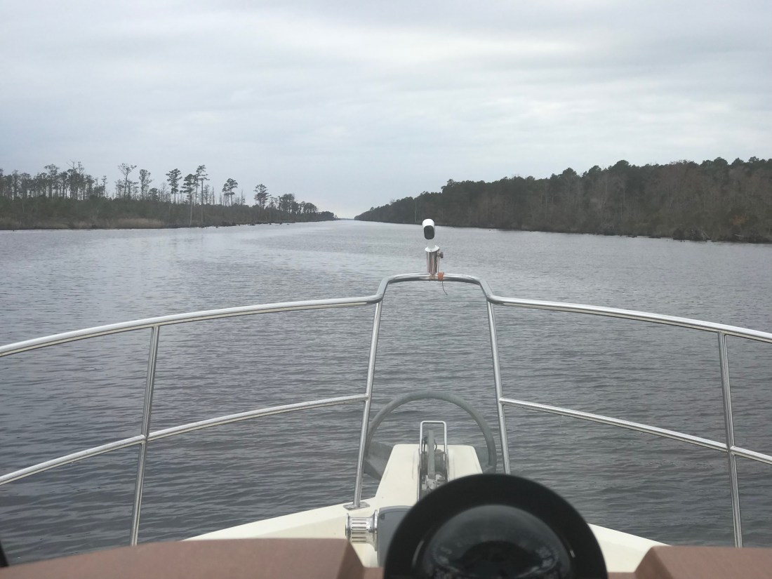
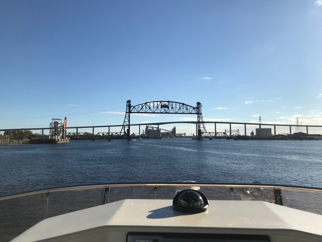
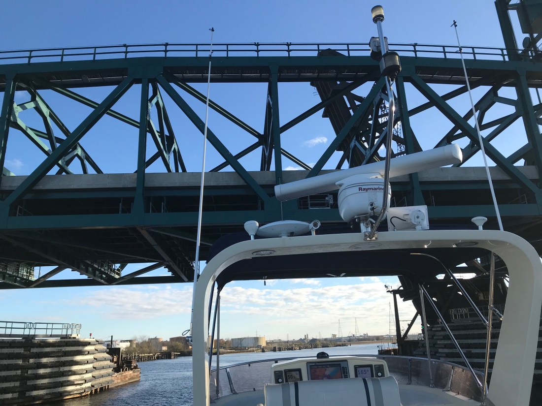
As we continued on to Cape Fear (Southport, NC) we were delighted at the scenery.

High Sandy BluffOcean InletMarshy Islands

Dock at Water Level

We passed many Atlantic Ocean inlets that had high sandy bluffs and marshy islands dotting the entrances. You could see and hear the surf breaking in the shallow inlets and it makes for nice scenery. The last of those 4 photos is one of a fixed dock that just barely exceeds the height of the water level. Interesting choice of fixed dock heights as this surely must be slightly submerged at times? Slightly submerged docks must be fun to walk along but just like submerged rock jetties that often protect many of the ports we enter they can be dangerous if boats come into contact with them.

As we got the point where the ICW connects with the Cape Fear River via “Snow’s Cut” we were passed by a US Army Corp of Engineers survey boat. These folks use sophisticated sonar to accurately probe the depths of these constantly changing waterways. He kindly slowed down as he passed and got back on plane once he was in front of us. However, just then the VHF crackled on channel 16, “Trawler in Snow’s Cut, are you OK?”. I quickly answered the hail with “comeback to the trawler in Snow’s Cut”. It was a boat in a marina that was hailing us stating that they “saw what had happened”. I replied, “If you are referring to the ACE boat that passed us, yes we are OK”. I found this communication amusing and I can only guess that the survey boat had passed the marina giving a large wake and making the marina boat unhappy and maybe this was her way of shaming the ACE boat publicly on the VHF?

US ACE Survey Boat

Snow’s Cut Graffiti

It would seem the kids in Snow’s Cut like to party at this old bridge abutment. “Party on” Capt B.

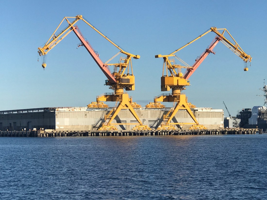
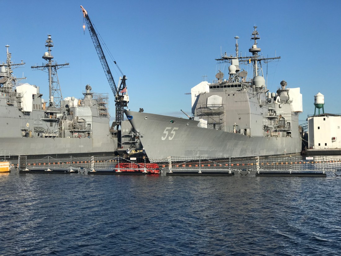
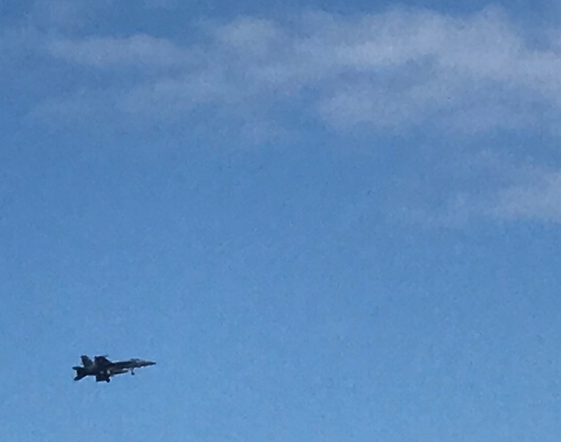
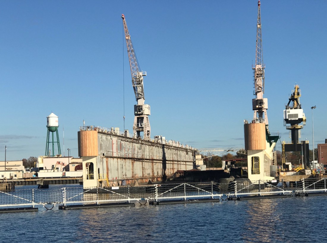
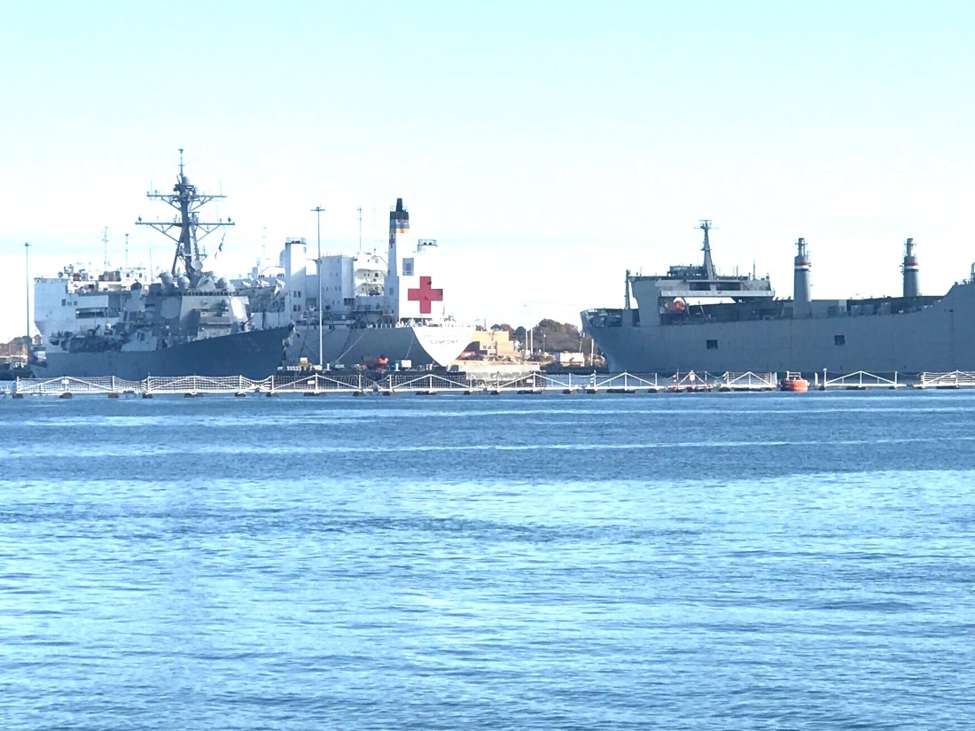
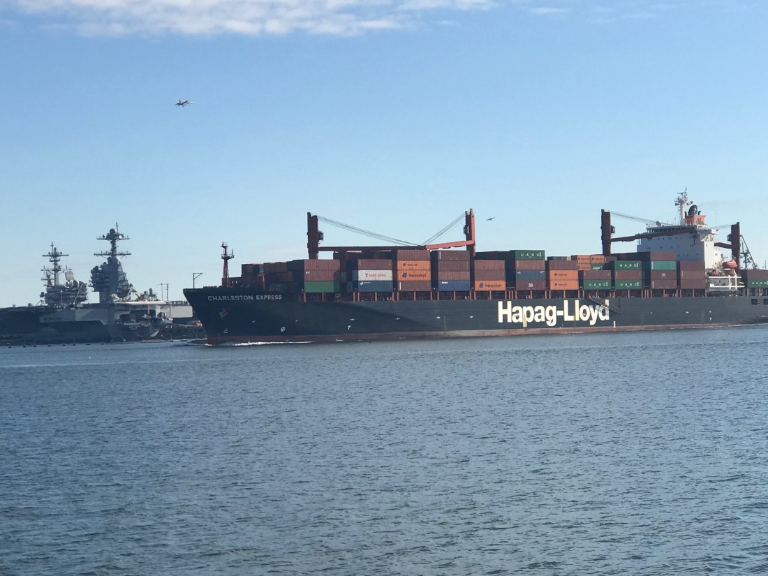
Once in the Cape Fear River it became quickly apparent from the size of the docks that extend out into the river that this river is used by large ships. Passing these behemoths must be done at a distance.

A quick turn back onto the ICW, by a dilapidated building and we arrived at St. James Marina.

Dilapidated Building

St. James Marina

Time to push on to Georgetown, SC where we’ll update with a new post of what we saw along the way.

Prince of Tides

Beaufort, North Carolina is your quintessential small southern town. It is the 3rd oldest town in North Carolina and as you walk through this quaint small town, you can’t help be taken a back by it’s charm.

Santa’s Satellite Workshop in BeaufortClock on a StickCenter of Beaufort

As we came ashore there were two monuments to local heroes within feet of where we landed. The first was Michael John Smith who gave his life for the pursuit of space exploration. Michael was a NASA space astronaut. Like so many, I believe that every human owes a great debt to astronauts who risk their lives so that the human race may have a better chance at surviving this hostile universe. They take risks that many of us might think too great. Michael was aboard the Challenger space shuttle when it exploded only 73 seconds after launch. The entire nation stood in horror at that moment, Like so many of you, I recall the shock and disbelief of this tragedy. The whole nation was forced to mourn the loss of these 7 heroes.

Michael John Smith

The second memorial stone was dedicated to a local oceanographer named John G Newton who discovered the U.S.S. Monitor using side scan sonar technology. Side scan sonar is an improvement on the DSM (Depth Sounder Module) that MV Simple Life uses to determine our depth as we came into Beaufort.

John G. Newton

Leaving Beaufort was as tricky as getting in. The currents here in Beaufort are swift. When we arrived, I had to swing MV Simple Life into a narrow fairway with an extra strong 3 knot current directly on our beam. Simple Life’s full keel gives that current a flat surface to push her down-current quickly. With some fast movements at the helm and some help from the thrusters we landed her gently into our assigned slip. The trip out of the slip was made easier by the fact the strong current was on our bow. I nudged her out of the slip and simply swung the bow a few degrees off the current and she quickly pointed out of the fairway.

The currents can be seen pulling this green can under as we were exiting Beaufort and rounding the Southern point of Radio Island.

Green can pulled under by strong current

Currents are brought on by the tides and our friend Rebecca informed us the the movie “Prince of Tides” was filmed on location here in Beaufort. Knowing now that the movie was fillmed in Beaufort, maybe it’ll make a good first-time watch while on anchor?

Prince of Tides Movie Artwork

Youtube link to 1991 Prince of Tides trailer

Our last night in Beaufort was a late one and the morning’s light was unwelcomed. We had a long trip ahead of us if we were to make Sloop Point anchorage by sunset.

Route Leg From Beaufort to Sloop Point Anchorage

We needed to make up time so we used the fast currents to our advantage and raced westward through Bouge Sound.

 MV Simple Life moving at a rare 11.4 knots thanks to fast currents

Bouge Sound is an East-West body of water trapped between main land North Carolina and a set of barrier islands. The sound has a narrow channel and marshy islands that abound. While the ocean was lumpy, Bouge Sound was a flat and reflective, like a mirror.

The only boat traffic we passed was a tiny little tug and barge with a piece of heavy equipment on it as well as one of those awkward looking front-loaded boats where you drive from the bow.

304CR CAT - I wonder what they are using this piece of equipment for?

Just looks strange to me.

A little further South and we were reminded that Camp Legune is around us. Signs along the river warn of possible live fire events.

Incoming!

This picture of a shelled APC (I’m just guessing this was an armored personnel carrier, military expertise needed here)  reminds me of a Monet or maybe a watercolor painting.  The marshy grasses in the foreground simply mush together while the island and threatening clouds in the background appear to bleed and wash out the watercolors on a canvas.

With sunset approaching we had to race to make it through the restricted Onslow Beach swing bridge.

Winslow Beach swing bridge

Every morning we research where the shoals are along the ICW. It seems the ICW’s bottom is in a constant state of evolution. You need to use sites like activecaptain.com/livemap/ to be able to use the knowledge other ICW boaters have posted to avoid running aground like this poor sailboat did.

Sailboat hard aground @ New River

We anchored in Sloop Point behind green daymark 15 and it was a peaceful night as we listed to the rain pitter-patter on the boat. The perfect background noise as we whisked off to the master stateroom.

Supermoon Where Are You?

Yesterday morning we awoke before sunrise and got underway to Beaufort, NC.

The first & last supermoon of 2017 was helping slice through the dark as we pushed away from the dock.

Supermoon 2017
Supermoon Reflecting the Sun’s Rays


Supermoon infographic
Supermooninfographic

Supermoons happen when a full moon approximately coincides with the moon’s perigee, or a point in its orbit at which it is closest to Earth. This makes the moon appear up to 14 percent larger and 30 percent brighter than usual.

December’s supermoon is actually the first of three back-to-back supermoon full moons to come in the next two months. On Jan. 1 and Jan. 31, the full moon will also occur near the moon’s arrival at perigee, according to NASA, which billed the line up as a supermoon trilogy. The Jan. 31 supermoon is also the second full moon of January, making it a Blue Moon, and also occurs during a total lunar eclipse.


As the sun got ready to sneak over the horizon there was a beautiful orange-pink hue reflecting off the water.

Before Sunrise
Before Sunrise

Today’s leg of our journey takes us from Hobucken, NC to Beaufort, NC

The Beaufort of coastal North Carolina is “BOH-fert”. The Beaufort of South Carolina is pronounced “BYOO-fert”. Established in 1709, Beaufort is the third-oldest town in North Carolina.

Leg Beaufort
Beaufort Leg of Journey

As we made our way out of Goose Creek and into Pamlico Sound, the only traffic we passed was a tug pushing a barge.

Tug and Barge
YATPB – Yet Another Tug Pushing Barge

The dominant wave set was coming from the NE and that meant we had a following sea as we turned and made our way down the Neuse River. A following sea that is slightly to one side of the stern can be annoying when you are at the helm. The waves catch up to the boat from behind and lift the stern pushing it to port or starboard. This can swing the bow as much as 30 degrees at times and it starts to feel like you are pointing the boat all over the place. I made a quick adjustment to increase the autopilot’s response rate and the bow heading deflection lessened considerably. Being a slow boat (6-9 knots) you are often at the helm from sun-up to sundown to make your destination. Autopilot is an electronic device with some firmware loaded on it that drives a hydraulic pump which turns the rudder. There are many settings that you can control but the response rate is the one you will want to adjust so that the rudder position changes are swift or slow enough for how you want the boat to point.

As weekend boaters, we were boating in destinations like Block Island, Nantucket or Provincetown. These locations are anywhere between 6-12 hours from our home port in Warwick, RI. We would be forced to run the boat at 8.5 knots and only get about 1 MPG. Now that we are full-time boaters, we slow the boat to about 6 knots and get 4 MPG. You can go 4X farther if you simply reduce your speed by 2.5 knots. (Recall 1 knot = 1.15 MPH so approximately every 6 knots you would simply add 1 to get the speed in MPH).

Even knowing this, we made the decision to up the speed to 8.5 knots and reduce the amount of time spent in the following sea.

Happy and Chief Martin Brody appreciated that we burned a a bit more fuel for their comfort.

Brody and Happy
Chief Martin Brody and his Big Sister Happy
Wake
Wake in the Neuse River

As we turned into Adam’s Creek the ride smoothed out and we dropped back down to 6 knots. The current in Adam’s Creek was swift and the DSM (Depth Sounder Module aka. Fish Finder) was showing asymmetric rippling of the creek bottom. I believe this is caused by a swift bottom current.

Adams Creek Rippled Bottom
Asymmetric Rippled Bottom of Adams Creek

The fish finder was also well, finding fish. The DSM uses sonar or high frequency sound generated by a device that protrudes through the hull and is sending a column of sound waves straight down beneath the boat. These sound waves not only reflect off the bottom but when they hit a fish the sound resonates in the fish’s swim bladder (a small air-filled sack that helps control a fish’s buoyancy) and this echo is detected and colored sharply to allow you to spot fish on the screen.

DSM Fish
Look Swim Bladders

Adam’s Creek is a lovely place with lots of sights to see.

Youtube Video of Bald Eagle in Adams Creek

Adams Creek spills out into the Newport River and it’s marshes and shallows are something that you will want to avoid.

Newport River
Newport Marshes as you Head South to Beaufort
Shallow Birds Standing.JPG
Kelly & I Often Joke… “If You Want to Know Where it’s Shallow; it’s Where the Birds are Standing”

As we pulled into our slip in Beaufort we hailed the dockmaster who warned us about the swift current running transverse to the slip we were assigned. As we pulled in to the fairway the current slammed into our full keel and began to push the boat toward the bows of the boats across the fairway. I was forced to back out quickly and reposition so that I could now take the swift current into account and position the boat for rapid spin and quick back into our slip. Kelly was quick to toss lines to the dockhands and soon we were checked in and given the keys to a “courtesy car”. Up North, I’ve never stayed at a marina that offers a fee courtesy car to marina guests. The car was a welcome treat and we put it to good use re-provisioning the boat with more food & beer.

Courtesy Car Kelly
Courtesy Car – We Got Wheels!

With all our chores completed we quickly made off to the marina bar for happy hour and spent time chatting with Bartender Kristen and fellow bar patron, Dan. Dan was an amazing fellow who told us stories of his solo sailing around the world in a small boat. He offered us some local knowledge about wild horses that roam the islands around here. I KNOW more wild horses to find!

Kelly and Dan
Kelly & Sailor Dan

After I consumed as many 50 cent pork sandwiches as a man can eat and washed them down with a great local IPA it was time to retire to the boat.

Hoppyum IPA.JPG
Great Local IPA From Foothills Brewery

We were no sooner readying for bed when we were accosted by “Monkey Bird”. This vile creature had a penetrating stare and an awful cry. I spent sometime staring into this monster’s gaze and knew it was time to lock the door and keep the crew of Simple Life safe.

So it’s off to bed.

Monkey Bird Standing.png
Monkey Bird Prowling the Docks


Coinjock, NC to Hobucken, NC

Coinjock Marina is a great place to stop along the ICW. The Sandbar even had an Xmas tree up.

Xmas Tree
Too Early?

While we were at the pier a 1998 Bayliner 4788 arrived during the night and as they passed us we saw the severe damage to their bow.

Bayliner 4788 Bow
Hope Nobody was Injured

It was a reminder about how dangerous boating down the ICW can be (especially when traveling at night). I hope nobody was seriously hurt. After having a crash like that you’d think you’d stay far away from everyone but as they passed us I thought for a second that they might hit us.

Bayliner 4788 Close
Yikes – This Pic Snapped Out My Pilothouse Window!

At that moment I went out in my PJs and attached two fenders to the canal side (just in case 😉  )

When we left Coinjock Marina it was foggy.

Coinjock Pier
Coinjock Pier Looking Off our Stern

Even as we headed down the canal we had to rely on our radar to see any far out vessels.

Fog
Fog Was Worse Than This at Times

As you travel down these canals you will find homes along the canal and people going about their daily business.

Coinjock Home
Me Waving from the Pilothouse to the Locals

As we traveled along we saw several boats anchored just outside the channel. Being anchored well after sunrise is a sign that someone is having a peaceful morning enjoying their coffee.

Anchored in Fog Close
Peaceful Morning on Anchor

We continued South down the North River and into Albemarle Sound. There was not a single boat to be found in the sound. We had the crossing to ourselves. While approaching the mouth of Alligator River I saw, what I thought were boats but upon closer binocular examination, I see they are some sort of mini islands? I’m not sure of their purpose? They look to big to be duck blinds?

Alligator River mini islands
I Need to Figure Out What These Are?

We anchored at the head of the Alligator River as we lost daylight. The anchorage was quiet with no boats passing but the cellular signal was dead. During much of the transit we would see our cell signal go from LTE => 3G => Extended 1X => blank. At times we would be excited to see 3G and upon trying to connect, we’d see the signal instantly drop to “Extended 1X” which did not work at all.

No Signal Extended 1X small
What Kind of Tomfoolery is this?


The Alligator River – Pungo River Canal was long and straight.

Canal Straight
I Can See For Miles

Along the banks of this canal you can see the erosion from passing wakes.

Canal Bank
Geology Experts of the Future Will be Doing Molecular Analysis on That Green Line

You will see many birds as you float along. It’s a reminder to me to improve my ornithological skills.


You’ll see other things that you’ll want to stay clear of like …


At times this can be difficult as you run straight down the sun heading South. While the camera does well looking into the sun, I was struggling at times.

Sun Dead on BowJPG
Staring Match With The Sun

We arrived in Hobucken, NC and tied to an old dock for the night.


Coinjock_to_Hobucken Edited
2 Days Journey

It’s been quiet here except for the passing tug pushing a barge down the river at night. At one point I was staring at a stand of tall trees that were illuminated on the shore and I could not for the life of me see the source of that light?

Spotlight on Trees
A Stand of Trees Illuminated

It became apparent moments later that it was the spotlight of an approaching tug and we braced for it’s passing wake.

Barge at Night 1
Barge at Night Passing Us While We are Docked


All of the Whos in Whoville Flock to Top Rack Marina

We spent two nights at the Top Rack Marina (ICW Statute Mile 8.8) in Chesapeake, VA.

Top Rack Marina Life Ring
Top Rack Marina – a nice stop along the ICW

What a great place to stop. When we arrived at the marina, Ben was there to catch our lines and greet us with a some Virginian southern hospitality. Top Rack Marina is a “dry rack storage” marina. These style of marinas store their customer’s boats on indoor racks rather than floating in a traditional “wet slip”. Customers simply call and request their boat dropped into one of the dozen or so wet slips in the marina’s water edge.

Top Rack Marina Kelly in Slip
Kelly relaxing in the cockpit
Top Rack Rack Indoor Racks
Indoor racks hold boats like a grocery store shelf
Top Rack Marina Outside Racks
Outdoor racks act as staging locations as boats are washed, flushed and prepped

Their giant fork truck moves boats effortlessly and can be intimidating as it whirls around with a boat high in the air.

Fork Truck John
Driver John alongside for a visual comparison

YouTube Video – Hauling Boat Up and Out

We decided to stay for two nights and re-provision the boat. Usually we would have to grab a Uber to a nearby grocery store but we have found that grocery delivery services are a much faster, cheaper and a far simpler way to restock. When we were in Brick, NJ we used Peapod from Stop & Shop but here in Chesapeake, VA we used Farm Fresh Supermarket.
Jaquay was our designated shopper and he would text us with pics of substitutions for any out of stock items on our list. Jaquay picked our order, drove dockside and was kind enough to help carry our groceries aboard. Thanks Jaquay.

Jaquay
Jaquay

The marina has a great ship store and Deli and as I checked in with Brian at the front desk, Brittany was there to help me select a local IPA beer called “El Guapo IPA”. El Guapo is brewed locally in Norfolk, VA by O’Connor Brewery

El Guapo IPA
In Spanish El Guapo is a beautiful guy, a well looking male

Then it was on to dine at the Amber Lantern Restaurant. We stepped out of the elevator and hostess Courtney warmly greeted us. We got an early start at the docks and by the time the restaurant opened at 4PM, we simply poured ourselves into seats at the bar. Bartender Sydney kept us smiling the whole night.

Sydney
Sydney’s smile could warm the heart of even the crustiest sailor
Sydney and Courtney
Dynamic Duo: Sydney and Courtney

Being first into the restaurant, we had the chef to ourselves and the food was amazing. We had our fill and retired back to the boat only to wake up at the witching hour of 3AM and sing along with YouTube videos from artists in the “Forever 27 Club”. I recall some Janis Joplin was echoing out over the river… “Freedom’s just another word for nothing left to lose”…

We awoke to a ghostly fog creeping down the river and we quickly shoved off to race and catch the Great Bridge Lock opening at half-past-every-hour.

Top Rack Marina Fog
ICW fog

Once at the Lock we tied up to the Southern wall, waited for the lock doors to silently close and watched as it lowered us gently down to the height of the water on the Albemarle Sound side of the lock. I find it interesting that while the Elizabeth River side of the lock is tidal and varies about 2.7 feet the Albemarle Sound side varies only due to the winds that drive water up or out of the river. Equally as amazing is the age of the machinery that drives these locks. You watch as giant gates and machinery, built using simple principles of engineering mastered many years ago, silently close.

YouTube Video of the Great Bridge Lock’s Gates Closing

Lock
Lock gates silently shutting behind us
Lock - Life Jackets Required
If you want to walk the dogs while in the lock you’ll have to don a PFD

The opening of the lock is timed to match cruiser’s expected arrival at the Great Bridge’s on-the-hour openings.

Great Bridge Bascule
Great Bridge – a bascule bridge

The Battle of Great Bridge was fought December 9, 1775, in the area of Great Bridge, Virginia, early in the American Revolutionary War.

We kept the ICW-bridge-list.pdf displayed on the iPad we’d have the requisite knowledge at our fingertips. As you pilot the ICW you will want to be aware of such things as… What bridges are around the bend? Can you safely pass under their vertical height? Are they restricted in opening times? How to contact the bridge tender on to request an opening?

ICW Bridge List
ICW bridge list for all 1,243-miles of  ‘inland’ waterway

As you make your way down the Albemarle Chesapeake Canal you can’t help but notice it’s as straight as spaghetti. The Canal was originally conceived of in 1772 but had to wait until technology advances (circa 1856) that allowed steam-powered mechanical dredges to cut through the land. While the canal is over 70 miles long, there is only 14 miles of excavated land. There are really two different “cuts”. The 8.5 mile long Virginia Cut which connects the Elizabeth River with the North Landing River in Virginia and the North Carolina Cut which is 5 miles long and slices across the Currituck Peninsula at the village of Coinjock to enter the North River, flowing south into the Albemarle Sound.

Albemarle_Chesapeake_Canal
Historic chart denoting the Virginia and NC cuts

This canal is a wonderful part of American history. During the U.S. Civil War, when the Union Army commandeered the canal, nearly 9,000 vessels made the transit. After the War, traffic continued to increase as the waterway took over practically all of the trade passing between the Albemarle Sound and Norfolk, Virginia.

As we meander down the ICW at a leisurely pace of 6 knots (4.5 MPG) we noted the passing from Virginia into NC. Then just a short while later, we were stumped to explain why this looping side canal was littered with wrecks? How did this happen?

VA NC State Line
VA / NC State Line – ICW statute mile marker 34
Ship Wreck Alley
How did this happen?
Ship Wrecks
Gently used boat for sale
Cannon
Maybe this cannon we passed was responsible for the wrecks  😉

The scenery at this point in the ICW is amazing! The waterway is lined with tall grass and you’ll watch as the local duck hunters race by you in camouflaged flat bottom boats. We’d pass the occasional duck blind hidden in the grass and Kelly & I would jabber about the moral issues of tricking ducks with decoys into becoming dinner. I’m always intrigued by the human race’s dilemma between a desire to coexist peacefully with all the other animals on planet Earth and our need for subsistence.

We soon arrived at Coinjock Marina where dock hand, JD quickly moored us to the wall and we scurried off to the Sand Bar for an IPA, some buffalo wings and a filet mignon for Kelly.

Sandbar
A typical sailor bar along the ICW
Coinjock Marina Kelly
The restaurant is known for their amazing prime rib

Inside the bar we met Bartender Jason and shared stories with other cruisers going South down the ICW. The three captains of a brand new 45′ Hatteras sport fishing boat that was making its way South sat next to us. They showed us video of their 30 knot trip South and we joked about their 80+ g/hr burn rate vs. our 1.2 g/hr rate. “Time is money” said one of the captains as they hurried out of the bar joking that they would not wake us at sunrise as their sprint South continued. Well it’s 6:30AM and we just watched them depart silently. I’m sure today will be another fun time here in Coinjock, NC.


Entering the ICW

Norfolk Leg
Route from The Great Machipongo Inlet to Top Rack Marina, Chesapeake, VA

Well we woke up early and left The Great Machipongo Inlet. The dolphins once again escorted us out and I turned South with the sun streaming in the port side pilothouse windows so hard I had to close the curtains and use the radar alone to tell what was on that side of the boat.

The sea was as flat as a model’s tummy so I lowered the RPMs on the diesel to get 2 MPG rather than 1 MPG. Simply by slowing the boat 1.3 knots we double our fuel efficiency! Don’t you wish that were the case for your car?

Thimble Shoal Light - Norfolk VA
Thimble Shoal Light

In a few hours we had snuck through the Chesapeake Bay Bridge Tunnel, past Thimble Shoal lighthouse and we were approaching Norfolk Navel Station.


What an amazing sight to get to these American Navy ships up close.

Warship 19
USS Mesa Verde (LPD 19) – Amphibious Transport Dock Ship

You can see the barrier fence that they stretch across the opening and that fence line is protected by a Navy Patrol boat with a machine gun on the bow.

Navy Patrol boat

A local news story revealed just a few months ago there were six bomb threats called in to the naval station and you can call NCIS if you know anything. I wonder if you can call and ask for “Leroy Jethro Gibbs” or “Tony DiNozzo”?

Jethro and Tony

USNS William McLean (T-AKE 12) - Military Sealift Command
USNS William McLean (T-AKE 12)
– Military Sealift Command
USS Leyte Gulf (CG-55)
USS Leyte Gulf (CG-55) – Ticonderoga-Class Guided Missile Cruiser
USS San Jacinto CG-56
USS San Jacinto (CG-56) –  Ticonderoga-Class Cruiser
MH-53E Sea Dragon
MH-53E Sea Dragon Buzzed Us From Overhead
Dangerous Target
AIS (Automated Information System) Alarm on my Chartplotter warning of other AIS traffic that has a narrow CPA (Closest Point of Approach)

As the Sea Dragon buzzed us my navigation system popped up forcing me to ACKNOWLEDGE the fact that there was a “Dangerous Target” nearby. The Helicopter was not alone and there were a pair of jets making that deafening sound that seems to well up from a simple background rumble to a roar.

Jet
McDonnell Douglas F/A-18 Hornet – Screeching Across the Sky

I believe that is a McDonnell Douglas F/A-18 Hornet? Maybe one of our military aficionados will comment if I got any of this incorrect?

DryDock 2
Norfolk Virginia Dry Dock


Dry dock ship
I Believe this is the Stern of a Amphibious Transport Ship?
Medical Ship
USS Jason Dunham (DDG-109) – Arleigh Burke-Class Destroyer Alongside The Hospital Ship Comfort

The Hospital Ship Comfort made it’s way down to Puerto Rico as part of the relief efforts.

News Story about Hospital ship and it’s relief efforts.

So after navigating past all the warships and being careful to keep our distance it’s on to the Norfolk International Terminals and the Virginia Port Authority.

Star Wars
Star Wars AT-AT Walkers were all I could think about.
Crane
Large Cranes Loom Overhead
Hapag-Lloyd Passing By
Hapag-Lloyd Container Ship Passing By
North PBL RR Bridge and Jordan Fixed Bridge
North PBL RR Bridge and Jordan Fixed Bridge, ICW’s First Set of Bridges – Many More to Come
Norfolk Southern Railway Bridge 36 Feet
Norfolk Southern Railway Bridge @36 Feet – Room to Spare
Paddle Wheel James C Echoles 2
Paddle Wheel James C Echoles 2 Passing us By

You can’t help but notice that everywhere along the shore seems posted “WARNING – US Government Property – Restricted Area – KEEP OUT”

Tower
US Gov Manned Towers with searchlights Guard Wharf Entrances

Finally, we arrived at our chosen destination, Top Rack Marina.

Top Rack Marina setting sun
Top Rack Marina in the Setting Sun

I promise to post more about this terrific marina and the on site restaurant called the Amber Lantern that we plan on having dinner at tonight.

Great Machipongo Inlet – Anchored For the Night

This morning started with a great breakfast on the griddle. I have always loved breakfast  diners so having a griddle onboard is perfect for corned beef hash with eggs on buttered toast, cheese and BBQ sauce. I love this exact breakfast and for me, it’s cook, eat, repeat day after day. Why change what makes you happy?

Breakfast 1
I need the egg rings because as the boat rocks the eggs would run away

We did not leave our anchorage till almost 10AM and while I was still dying to drop the dink and make a run around the island to find the wild ponies, I told myself I’ll come back for the ponies!

So I weighed anchor and got underway. The trip was a simple one, South down the coast. I had plotted a short 37 nautical mile course that took me from Chincoteague Island to the Great Machipongo Inlet in Virginia. Even with the late start I was not in danger of having the sun set on me so I slowed down and trolled a line…

Trolling 1
Deep dive bill mackerel lure @5.8 knots – me thinks 4 knots would be better.

My Dad took me fishing off Sandy Neck beach as a child.  I recall sitting by the Colman lantern and just loving it as beetles and moths bombed in from the darkness only to slam into the lantern and spin around in the sand. When I got older, Dad entered me in the MBBA’s (Mass Beach Buggy Association) casting tournaments on Scusett Beach. My Dad would let me use his prized 13′ surf rods with weighted sinkers. He would show me how to put everything I had into the perfect cast and how to release the line at the perfect flex point in the rod. I  won trophies and was hooked. My first summer girlfriend came after winning a trophy 😉 We flew kites, it was pretty simple back then.

If I wasn’t fishing on the beach, I was down the Cape Cod Canal as a 20-something fishing for stripers with Timmy & Tommy or Greg (AKA. Maca, Gratty and Rooster). Growing up, we never called each other by our given names.. I’m assuming it’s like that everywhere. Anyway… I outfitted Simple Life with plenty of rods and fishing gear for times like this cruising down the coast. Problem is.. I never seem to catch anything.. It’s kind of a running joke. I need to up my fishing game. Anyone want to come South and show me some pointers? I could use some. My friend John has a great Cabo sport fishing boat and if I was not so preoccupied with taking my own boat out, I’d have spent more time learning on his. Well, needless to say.. No fish.. But I’m committed to catching something great SOON!

On our way into Machipongo Inlet we were visited by dolphins. It did not take them long to come over and start rubbing our bow.


I reconfigured my Raymarine E140 chartplotter’s page to display 3 different windows. I chose a half window of charts, a two quarter windows, one of a camera feed behind me and one of the depth sounder readout (see pic).  I did this because as I am traversing these tricky Atlantic inlets which are full of shoals and sandbars, it makes you want to see the depth trend. I mean having a history of the last few seconds of bottom depth gives you a much better clue that you are running up the slope of a shoal. While the water around the shoal may be deep as you approach,  you can see the steep upward angle of the sea floor. When I was entering the Great Machipongo Inlet there is a horseshoe shaped bar that blankets the inlet.  (see pic below)

Sandbar1

I plotted a course (the red line) that allowed me to approach straight on through the deeper sections and wasn’t really surprised that the depths did not match my 2012 Navionics chart chip bathometric data.

I use many charting tools to navigate and the chart chip in my chartplotter has data from 2012. So believe it or not.. I’m staring at my iPhone NOAA raster charts which are more up to date as I enter.. That said,  the GPS location accuracy of an iPhone is not the same as my Raymarine GPS. You really have to be careful when you enter an Atlantic inlet like this .. Look at all the green (land that is exposed at low tide). While I came in at high tide and it was water everywhere, just wait till low tide 😉

Great Machipongo Inlet

Well I read all the Internet reviews I could (only 2 of them) to gain some kind of local knowledge before entering this inlet. One review said it was horrible and the other said it was OK. So far I have no complaints. After all look at this sunset video I took once I anchored. It’s just peaceful in here.

I’ll end with this sunset video. There is something great about finishing a journey, dropping the hook and enjoying an IPA & sunset. I think it’s what humans were supposed to do.. OK after cavemen figured out the whole boating thing.

We Anchored on MARS!

Sitting here on anchor at Wallops Island you can’t help but look out at the few structures on shore. I thought they looked kind of “military” and figured Norfolk Naval base is just a bit South down the coast. However, after pulling up Google Maps you find MARS! OK it’s the Mid-Atlantic Regional Spaceport.

Launch Pad
We are Anchored Right Next to this Launch Pad

I now see we are anchored off a Virginia space center with a rocket launch pad. Vector Space Systems has teamed up with MARS and is comprised of many folks from both the aerospace (SpaceX cofounders) and tech industries (Shaun Coleman – VMWare VDI/View & Cofounder of CloudVolumes)

vector_at_mars640
Vector Systems Vector-R Launch Vehicle

I think we may have missed an earlier rocket launch on Nov 11th. Too bad, We would have stuck around to watch that. Kelly & I talk quite a bit about the cosmos and we both believe that the human race’s primary purpose should be to explore the cosmos.

01 Cosmos Consciousness

We are all conscious (some more than others). Last night standing in the cockpit and looking up at the stars you can’t help but feel small. My visual view of the world is centered from inside my own head. We are all aware that we walk (or boat) the surface of this planet with other conscious beings who are centered in their own heads. Many of them are kind souls who find a purpose in helping others in need. However like many others,  I am sometimes bothered by the human need to fight with one another instead of seek intelligent life as well as a second habitable planet for plan B. This planet has a few people that I hope don’t make the trip to Earth 2.0.  The Kepler space telescope has now found ..”219 planets, 10 are thought to host conditions similar to Earth”…

Earth2.0
Earth & Earth 2.0

So WHEN DO WE LEAVE and Who wants to come?

Look again at that dot. That’s here. That’s home. That’s us. On it everyone you love, everyone you know, everyone you ever heard of, every human being who ever was, lived out their lives. The aggregate of our joy and suffering, thousands of confident religions, ideologies, and economic doctrines, every hunter and forager, every hero and coward, every creator and destroyer of civilization, every king and peasant, every young couple in love, every mother and father, hopeful child, inventor and explorer, every teacher of morals, every corrupt politician, every “superstar,” every “supreme leader,” every saint and sinner in the history of our species lived there–on a mote of dust suspended in a sunbeam.

The Earth is a very small stage in a vast cosmic arena. Think of the rivers of blood spilled by all those generals and emperors so that, in glory and triumph, they could become the momentary masters of a fraction of a dot. Think of the endless cruelties visited by the inhabitants of one corner of this pixel on the scarcely distinguishable inhabitants of some other corner, how frequent their misunderstandings, how eager they are to kill one another, how fervent their hatreds.

Our posturings, our imagined self-importance, the delusion that we have some privileged position in the Universe, are challenged by this point of pale light. Our planet is a lonely speck in the great enveloping cosmic dark. In our obscurity, in all this vastness, there is no hint that help will come from elsewhere to save us from ourselves.

The Earth is the only world known so far to harbor life. There is nowhere else, at least in the near future, to which our species could migrate. Visit, yes. Settle, not yet. Like it or not, for the moment the Earth is where we make our stand.

It has been said that astronomy is a humbling and character-building experience. There is perhaps no better demonstration of the folly of human conceits than this distant image of our tiny world. To me, it underscores our responsibility to deal more kindly with one another, and to preserve and cherish the pale blue dot, the only home we’ve ever known.

— Carl Sagan, Pale Blue Dot, 1994

Chincoteague Island, VA – Where are the Ponies?

We awoke around 4AM this morning and I began pouring over the charts until I felt comfortable that we could safely make the passage down the outside passage to Norfolk, VA in 4 separate legs. By staying outside we will save days if not a week of traveling inside through the Chesapeake. While we would like nothing more than to spend months exploring all the great places in Chesapeake Bay, right now we could go for some Key West sunshine.

The other day we left Atlantic City and motored past the mouth of Delaware bay, I just could not bear to make a starboard turn and head up the Delaware Bay. This would mean heading North rather that South. In order to take the inside passage you must first run North up the Delaware Bay till you get to the C&D canal that connects the head of Delaware bay with the head of Chesapeake Bay. Once in Chesapeake Bay you again start heading South. It’s quite a bit longer than simply staying outside in the Atlantic Ocean.  It’s also more work for the captain, who must stay vigilant to avoid other boat traffic as well as steer around lobster pots. Nobody likes getting a lobster pot line wrapped around their propeller. We installed a “shark” pot cutter in front of our propeller to hopefully chop any lines that tangle in our propeller.

shaft shark
“Shark” Pot Cutter in Front of Propeller (Similar to MV Simple Life’s Setup)
Inside Passage Map
Inside Passage – Up Delaware Bay, Through C&D Canal and down Chesapeake Bay
4 legs map
Outside Passage – 4 Legs, 2 Anchorages

The more we studied the few inlets along the outside passage, the more we realized that many of them were possibly full of shoals and shallows to be worth trying to enter. There were some that if we did enter the inlet, it was clear that once inside it we could easily run aground due to the shallows that abounded. It was also very evident to us that our 2012 electronic charts no longer match the current depths and shoal locations. I use the charts as a “guide” but keep a close eye out for breaking waves where a new shoal may have formed due to recent storm activity.

We arrived at Chincoteague Island sometime around 1PM. The journey here was pretty uneventful. We saw only one other boat and it was a large sport fishing yacht moving at twice our speed South down the coast.  We studied the charts and found a nice spot to drop hook, close to the shore. MV Simple life has a 90 lb. Rocna, plow style anchor and 300′ of 3/8″ chain. I let out almost 120′ which was a ridiculous amount of scope (“anchor scope” is a ratio like 7 to 1: length of chain compared to depth of water). If we were in a crowded anchorage we’d never be able to let out that much scope as when the wind changed direction we’d swing into other boats. Along this coast there is not another boat in sight. After the anchor hooked up I applied some throttle in reverse (+200 above idle, or 800 RPM) which combined with the strong wind, buried the anchor. The extra throttle  lifted the chain straight out of the water with no bounce. We believe you should always “back down” on your anchor and watch to see if the chain jumps up/down which is a clear indication that the anchor is dragging along the bottom. This can happen for many reasons but some possible causes can be the seabed could have eel grass that stops the anchor from “digging in” or the bottom might not be sandy but instead a super soft silt that is like pushing a potato chip through whip cream instead of thick cheese. Better to have your anchor drag while you’re backing down on it than when the wind picks up in the middle of the night and you are fast asleep.

Chinoteague map
Red X is Where we Anchored – Off Wallops Island. Chincoteague outlined in Red

After reading about the wild ponies on Chincoteague Island, I made up my mind to use the crane and drop the dinghy in the water to go find them ponies. I had no sooner raced off on the dinghy before I thought.. I’m freezing & I’m zipping along over the shallow shore and could easily run aground at full speed and wind up taking a dip in the cold Atlantic. So I put a lifejacket on and turned around and made it back to the Simple Life. DAMN, NO PONIES!!!

Back at the boat the heater was on and I quickly put the dinghy back on the flybridge and warmed up to an IPA 😉 That brings me to where I am now.. sitting in the pilothouse enjoying a beer or two. We’ll leave you with our sunset view — good night.

Wallop Island Sunset

Atlantic City NJ to Ocean City MD & CathyPaul

We left Atlantic City @ sunrise.

AC Night 1
Atlantic City @ Night
Sun at 7AM
7AM off the Coast of Atlantic City, NJ

Kelly promised a breakfast “to die for” and delivered in every way.

My favorite. Corn beef hash (“ova ah’d” as I say) with eggs a bit “sunny” and American Cheese on toasted wheat bread.

“Wheat bread” said with the emphasis on the “H” like how Stewie from Family Guy would say it. It sounds like an “Haach”.

Breakfast
Epic Egg & Cheese with Corned Beef Hash & Stubbs Sweet Heat BBQ Sauce

Here is a video of us leaving AC. It was so calm that I simply untied the boat, stepped on and put it in forward to leave the slip.

We slipped past the Atlantic City USCG station where their rescue boat sat quietly.


AC CG Station
USCG Station Atlantic City

The dogs like the cockpit grass and they often they need me take them there while we are underway.

Pups.JPG
Don’t tell them this ain’t real grass

While underway we were happy to find the sea state somewhat tame for the end of November. Our passage to Ocean city, MD was 9 knots the whole way.

While we did not have to slow down, the 25 knots winds made for a wet ride. Thankfully I stayed dry & never had to change out of my PJs and slippers.

The boat feels heavier than normal since we have her loaded with more stuff than usual. Even the bow spray seems to throw further.

Every marina we have visited thus far seemed to be shutting down due to the freezing temps.


This presents a challenge for us as there has not been any water to wash the boat or top off the water tanks. Thankfully, MV Simple Life has ~450 gallons of water aboard in her two tanks. As long as Kelly is not doing laundry (she loves doing laundry on the boat), water is not an issue.

The ride from AC to OC left plenty of dried salt crystals on the boat. Our salty windshield

glistened like a diamond in the sun.

salt good.JPG
Salty Boat

Today’s trip was about 70 miles. That’s about an 8 hour trip. This late in the season you only have about 90 minutes more of daylight.

Leg AC OC.png
Today’s Route Skipped over Delaware

Upon arrival I was a bit embarrassed to have to hail the marina and ask where they were located. My Navionics chart chip from 2012 had the marina in a different location. The marina is actually very protected once you slip past daymarkers 1,2,3 & 4. Austin the dockhand was there to catch a line for us and hand us the diesel hose to top off our tanks. I added 350 gallons of diesel @ $3/gal.

That means we made it from Wickford, RI to Ocean City, MD on roughly 350 gallons of diesel. Not too shabby though if I were slowing down I could use half that.

Here are some pics us at the docks.


After a long day I needed to sneak away to a bar called the Sunset Grille.

Sunset Grille.JPG
Sunset Grille in Ocean City, MD

We enjoyed happy hour with new friends “CathyPaul”. It’s actually Cathy & Paul but I’m sure I heard them combine themselves into a single name, “CathyPaul”.  They were lots of fun and kept me entertained the whole time.

They also taught me how to say the name of the island that I hope to anchor at tomorrow morning. It’s called Chincoteague Island “Chinko Tee gah”. Tomorrow’s trip there will look something like this..

Chincoteague Island Anchorage

The anchorage is exposed to the Atlantic but in a NW or W wind, I believe it will do just fine. I must say that after studying the charts there are very few inlets at this point in the trip. The inlets that you do find caution mariners about unmarked shoals, breakers over sandbars and shallows everywhere. If we had a faster boat we’d have more options to skip over the more challenging inlets. Instead we often must either stop sooner than we’d like or try to use all of the daylight to make it to the next anchorage or marina.

I found this webpage for  Chincoteague & Assateague Island . It talks about wild ponies on the island.. Maybe I should take the dink ashore and let the Chief Martin Brody and his sister Happy run with the ponies?

Ponies in the water
Ponies rather than horses? Is that what you call em?

Well it’s late and I better hit the sack. These days we are running from sun up to sun down and it’s leaving us wanting more downtime.

Good night for now and Kelly & I want to give a shout out to all our high school classmates who had a reunion tonight.  We wish we could have made it but we left New England too late as it was.