Camp Lejeune, NC

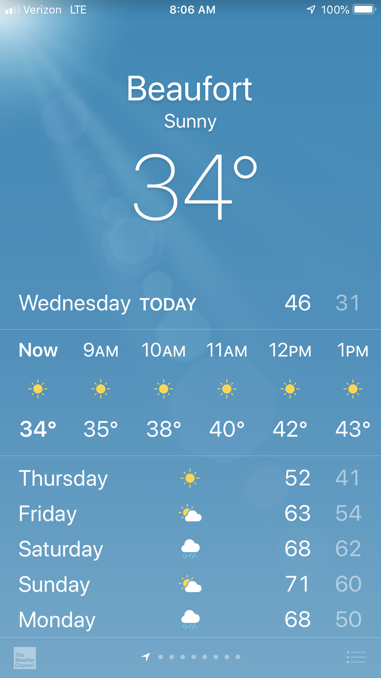
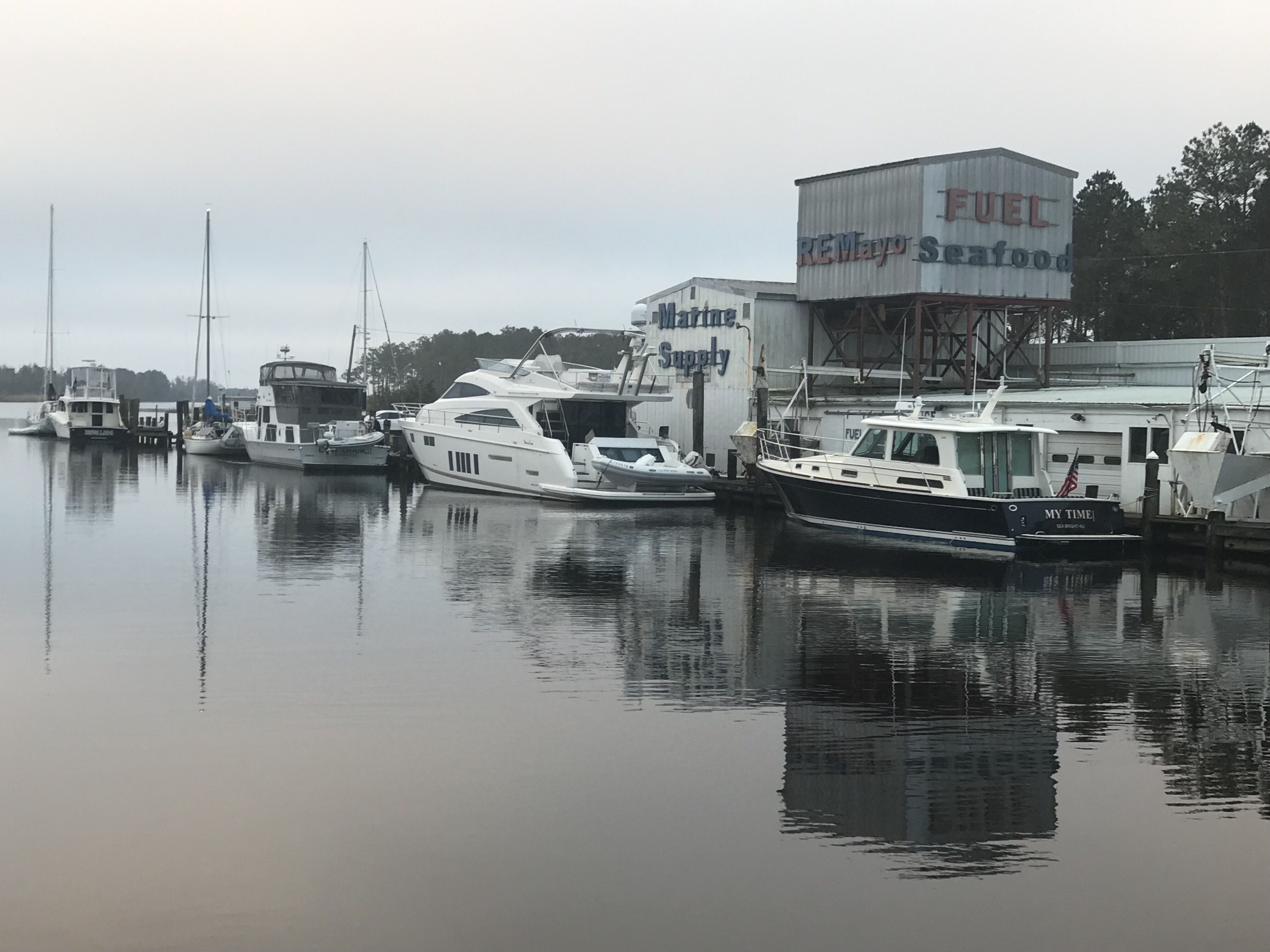
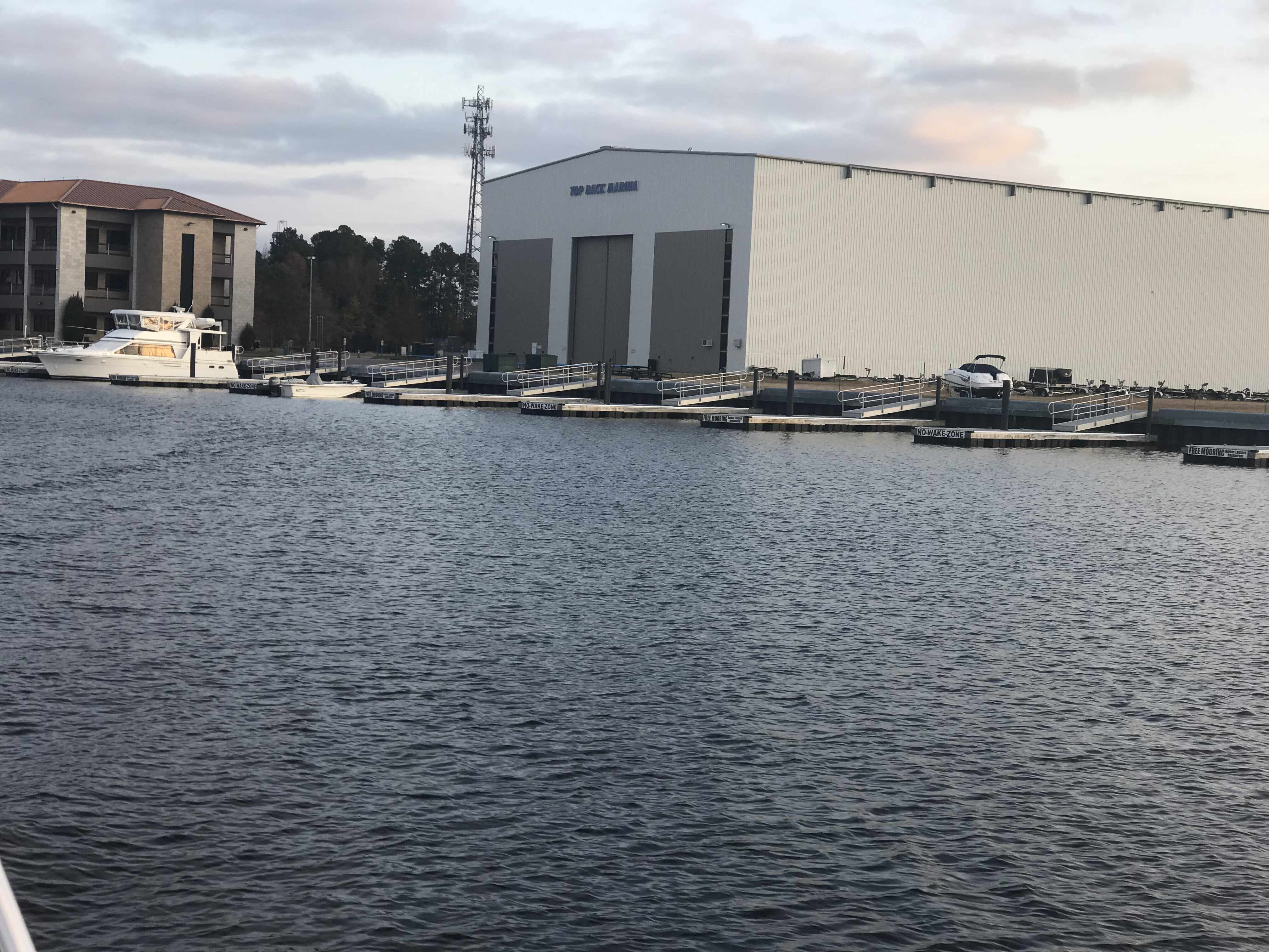
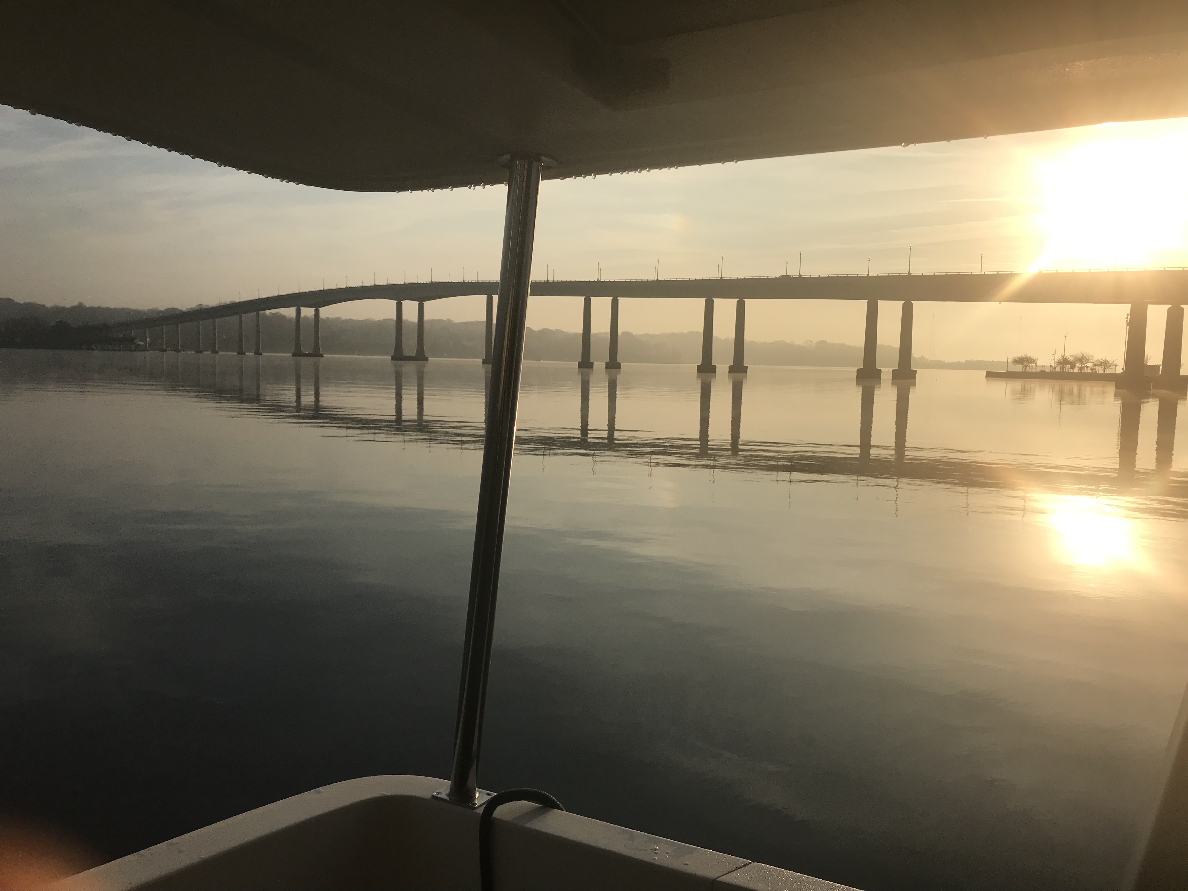
We loved our stay in Beaufort, NC but we awoke to 34 degrees and it was time to leave. 

We had lots of fun in Beaufort riding around in the sexy loaner car. The car was green but the door was red. You had to pump the breaks to slow down and it had a death rattle sound as you drove down the road. We loved it. It was FREE. 

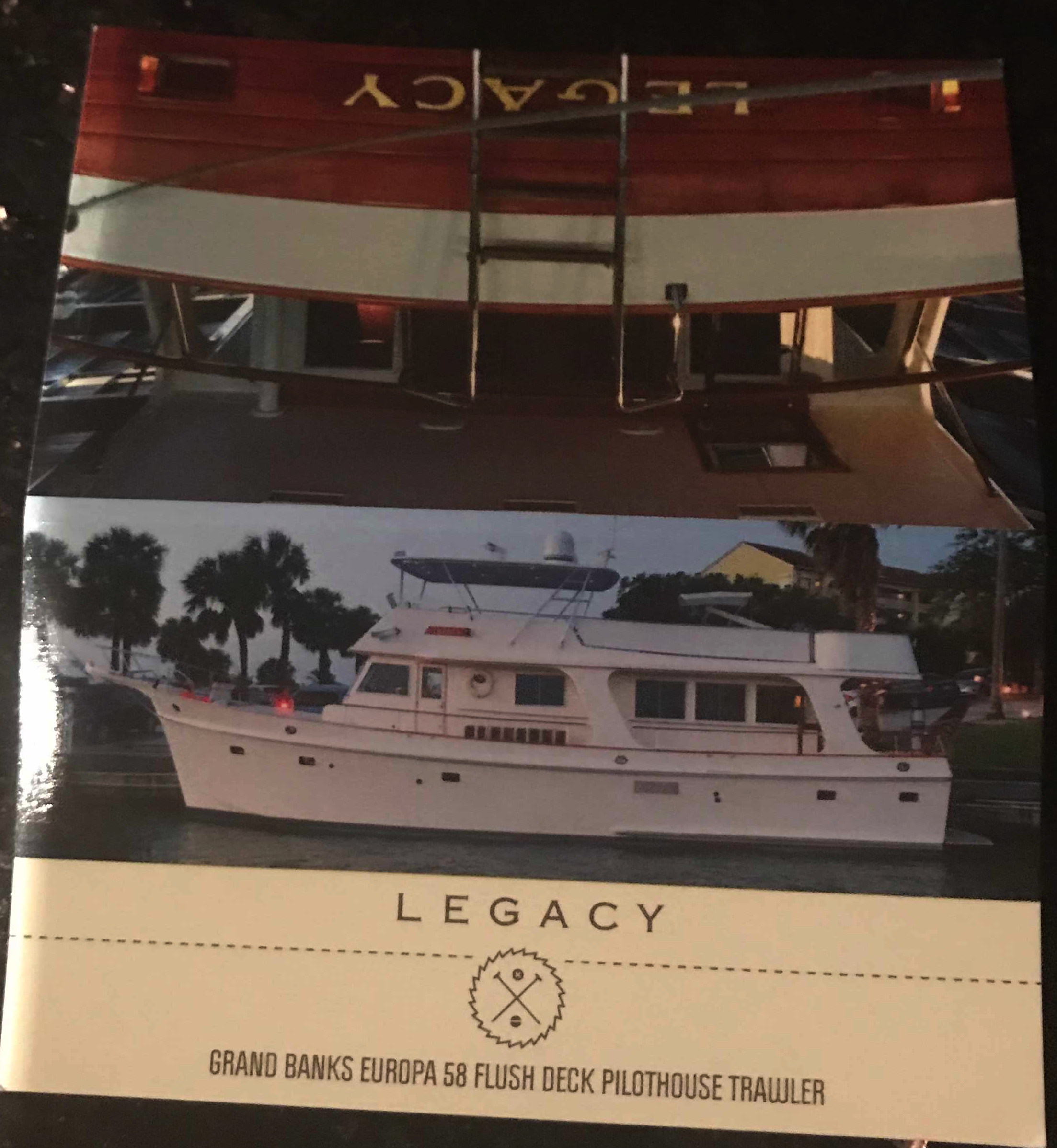
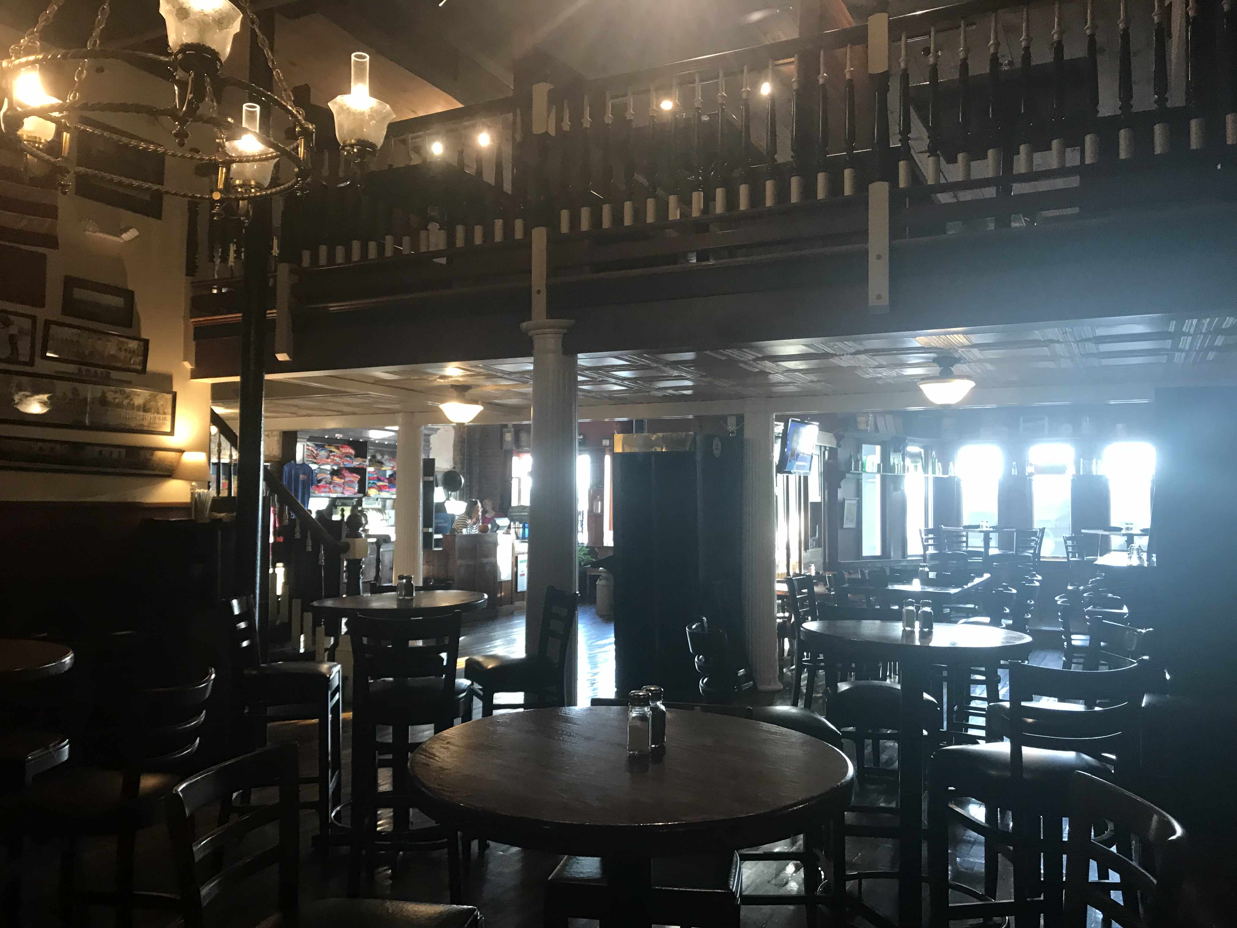
We decided to do a pub crawl through Beaufort but we only made it to the Black Sheep Bar which was 20 feet from our boat. We met Capt. Scott from MV Legacy (58′ Grand Banks). Capt Scott kept us entertained with stories about his grandparents yacht that he was now the captain of. Capt Scott even gave me a tour of MV Legacy when we left the bar and she was very impressive. 

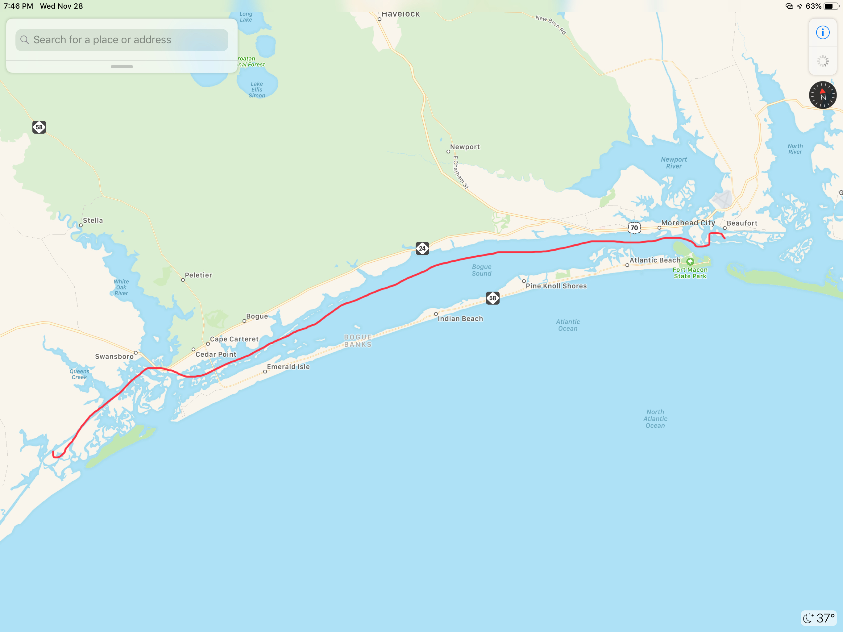
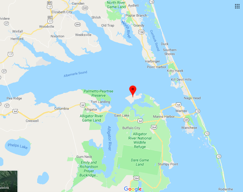
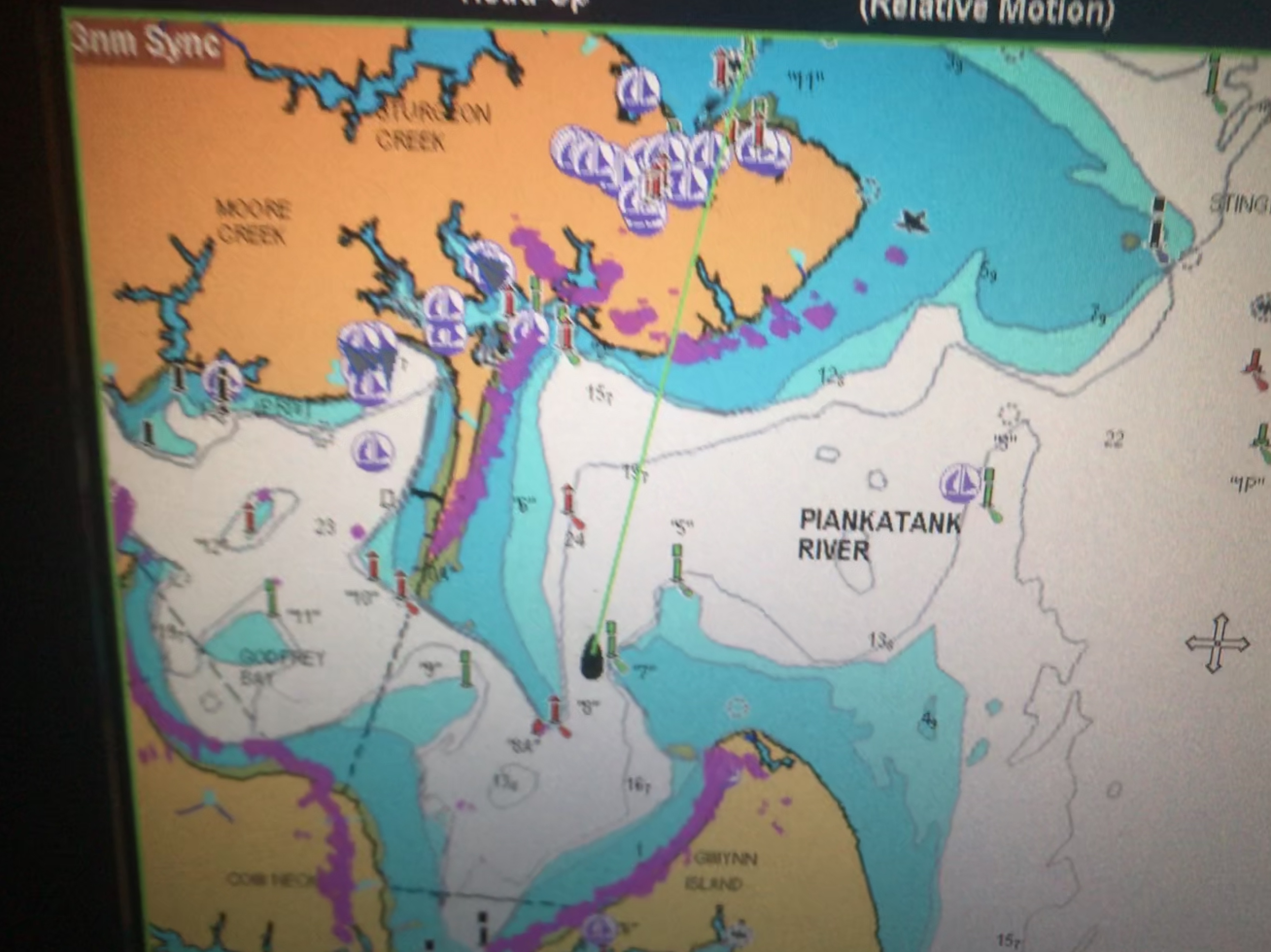
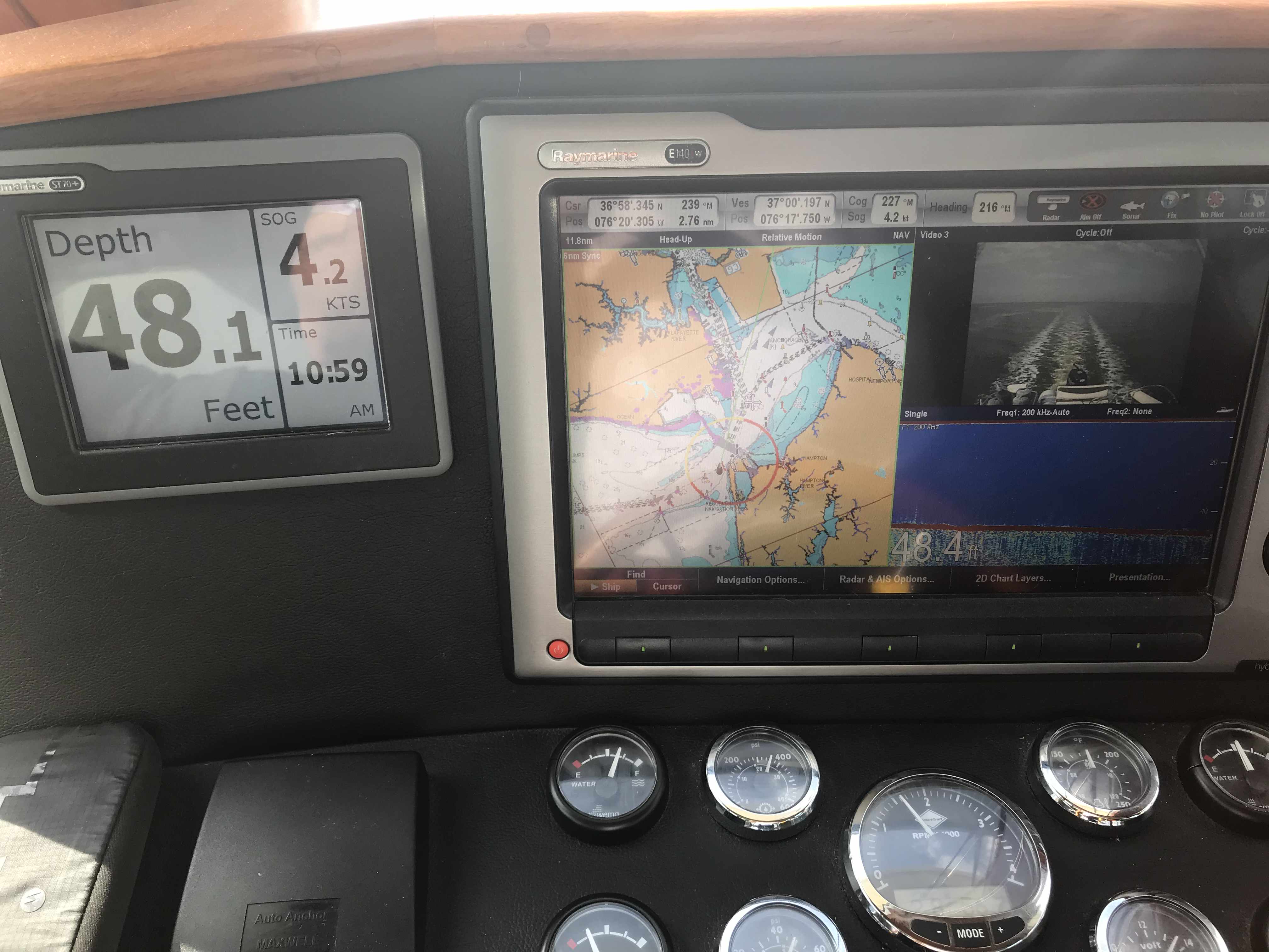
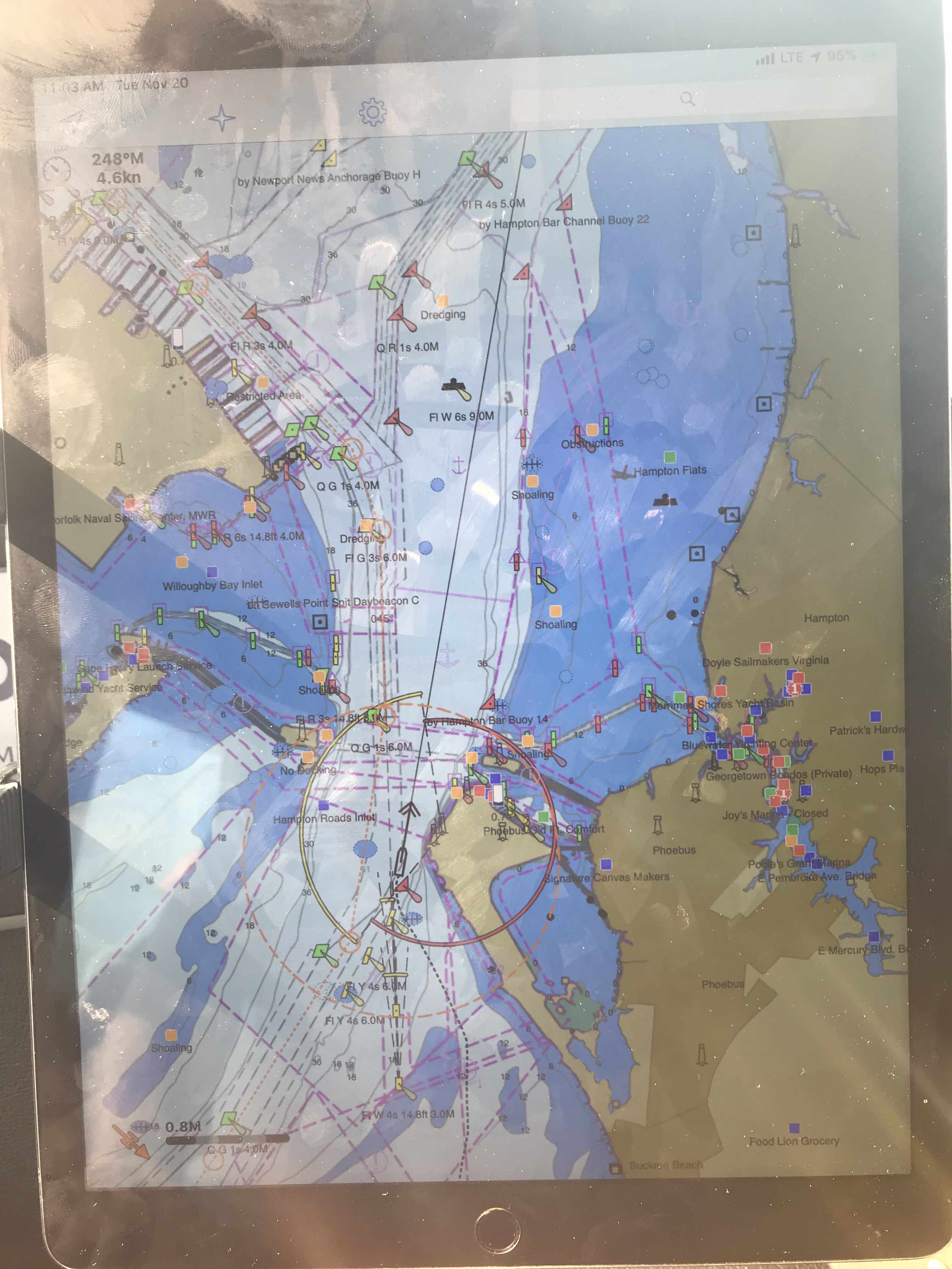
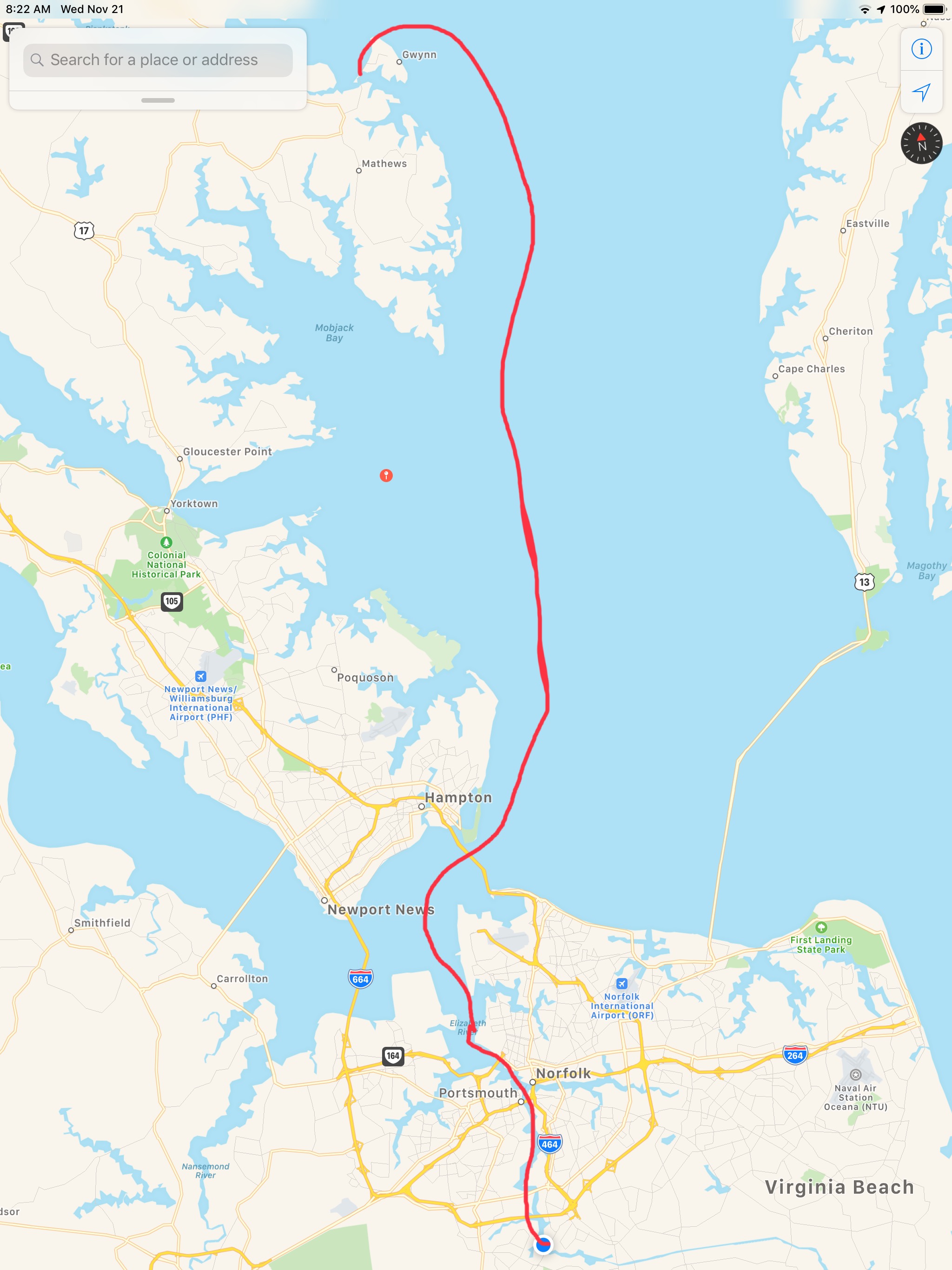
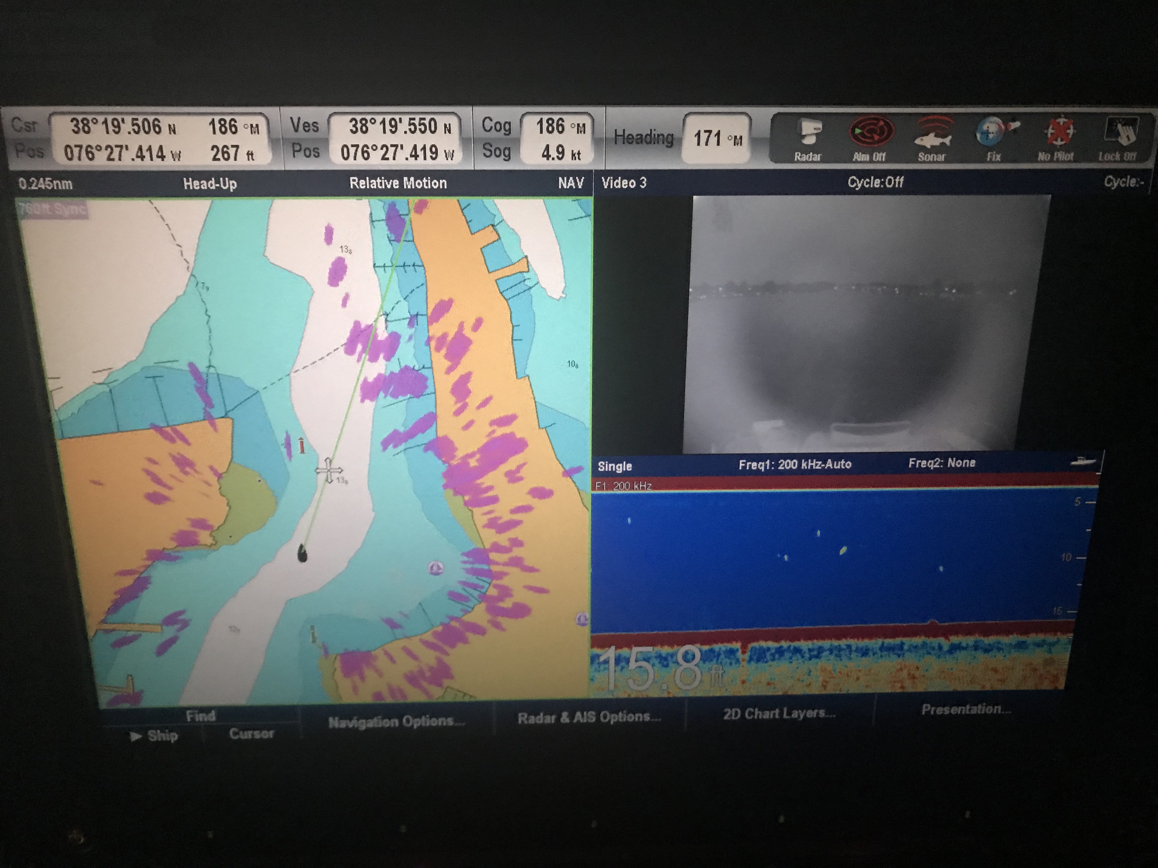
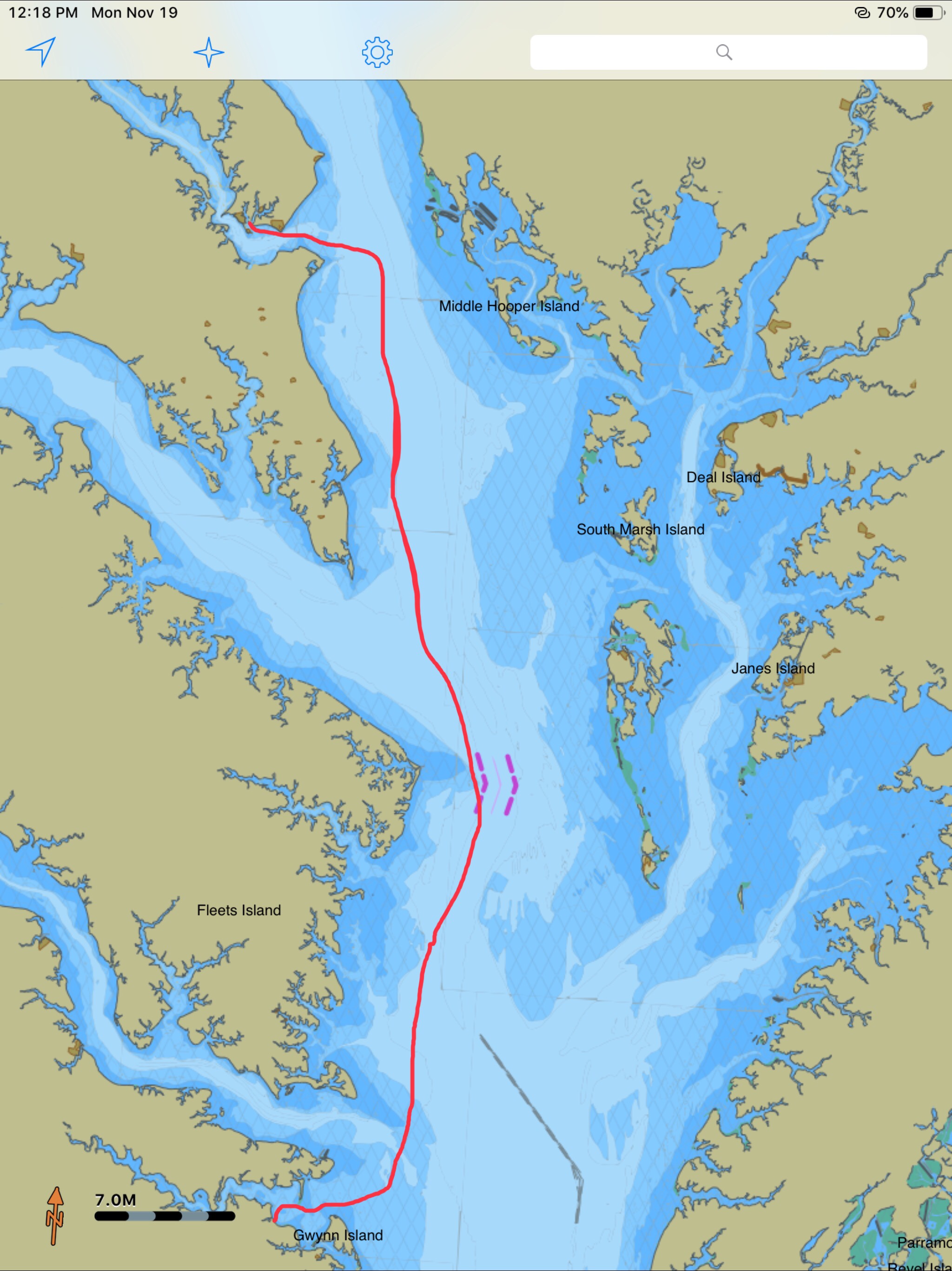
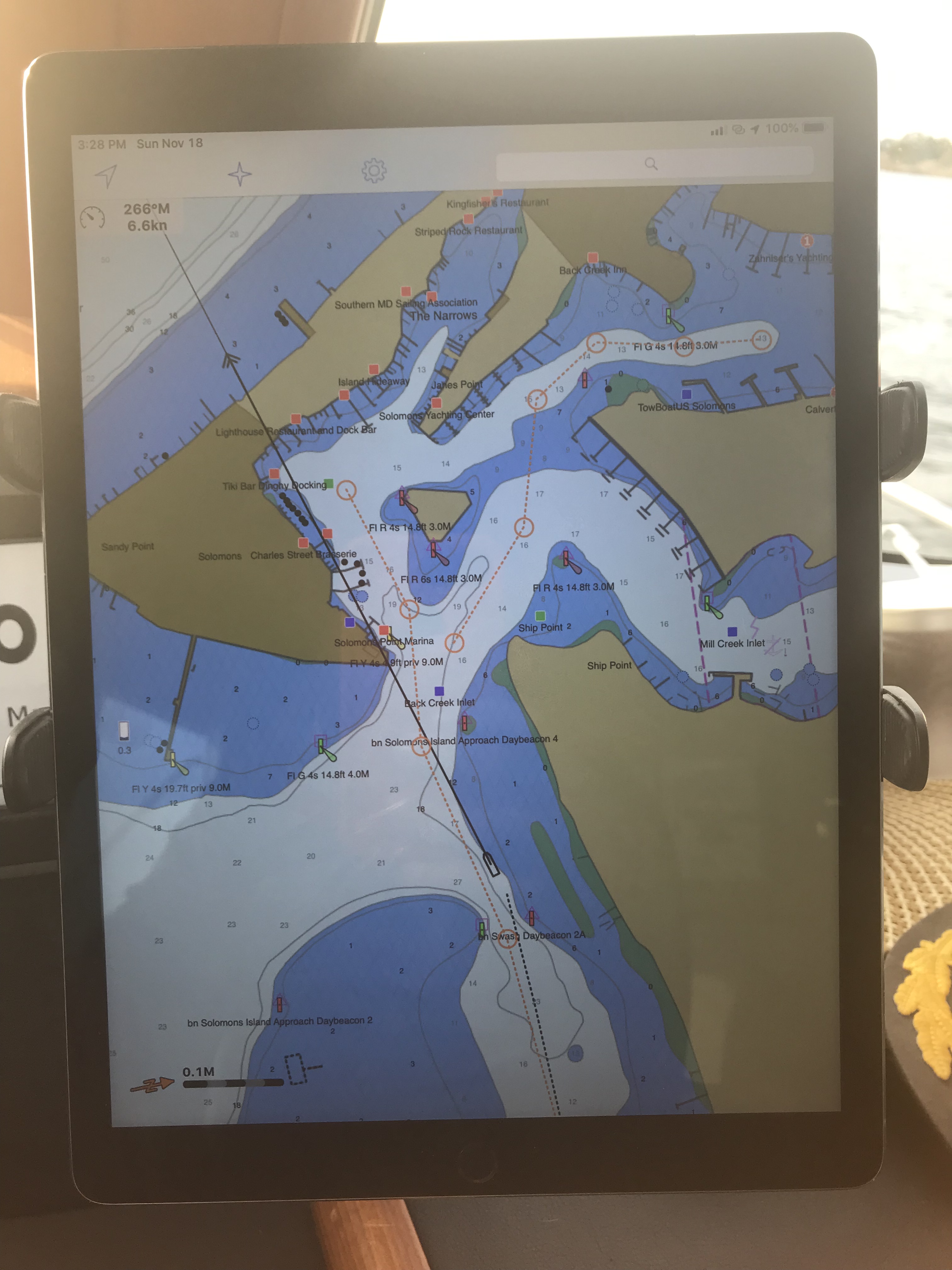
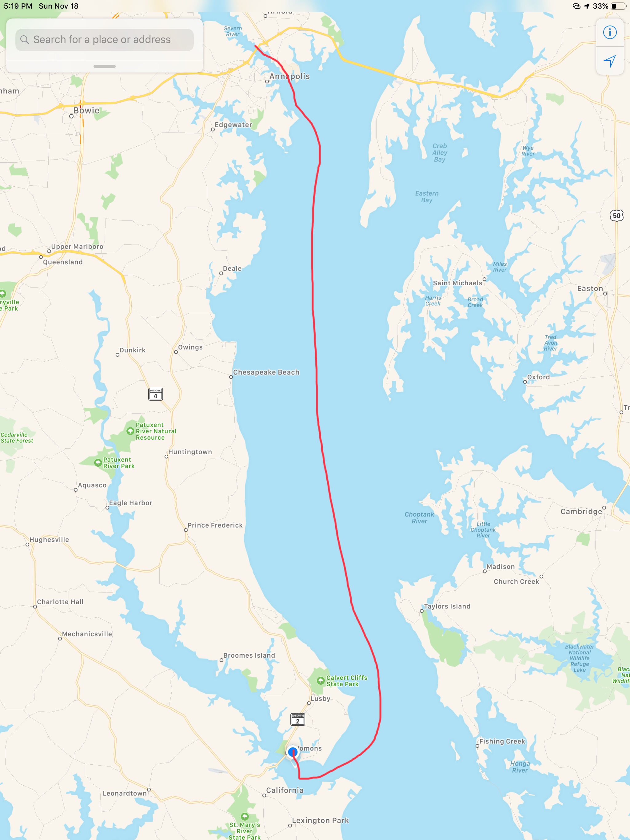
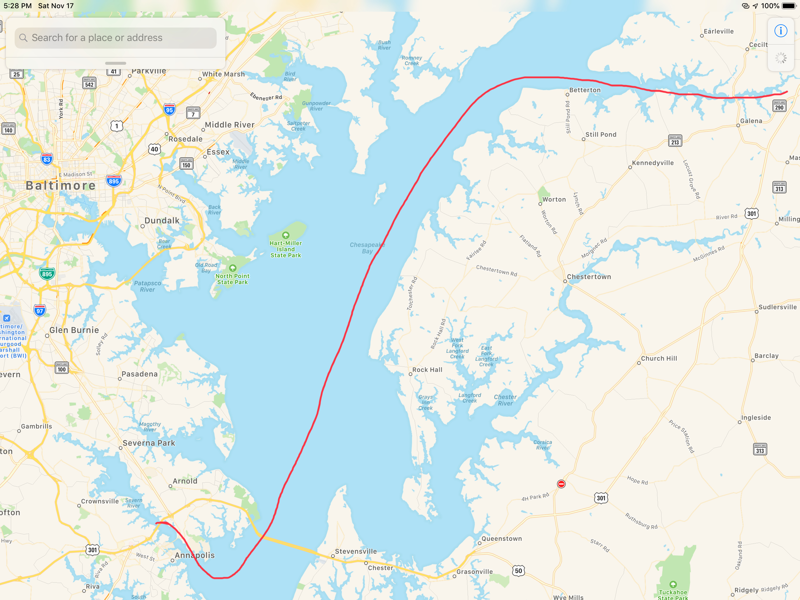
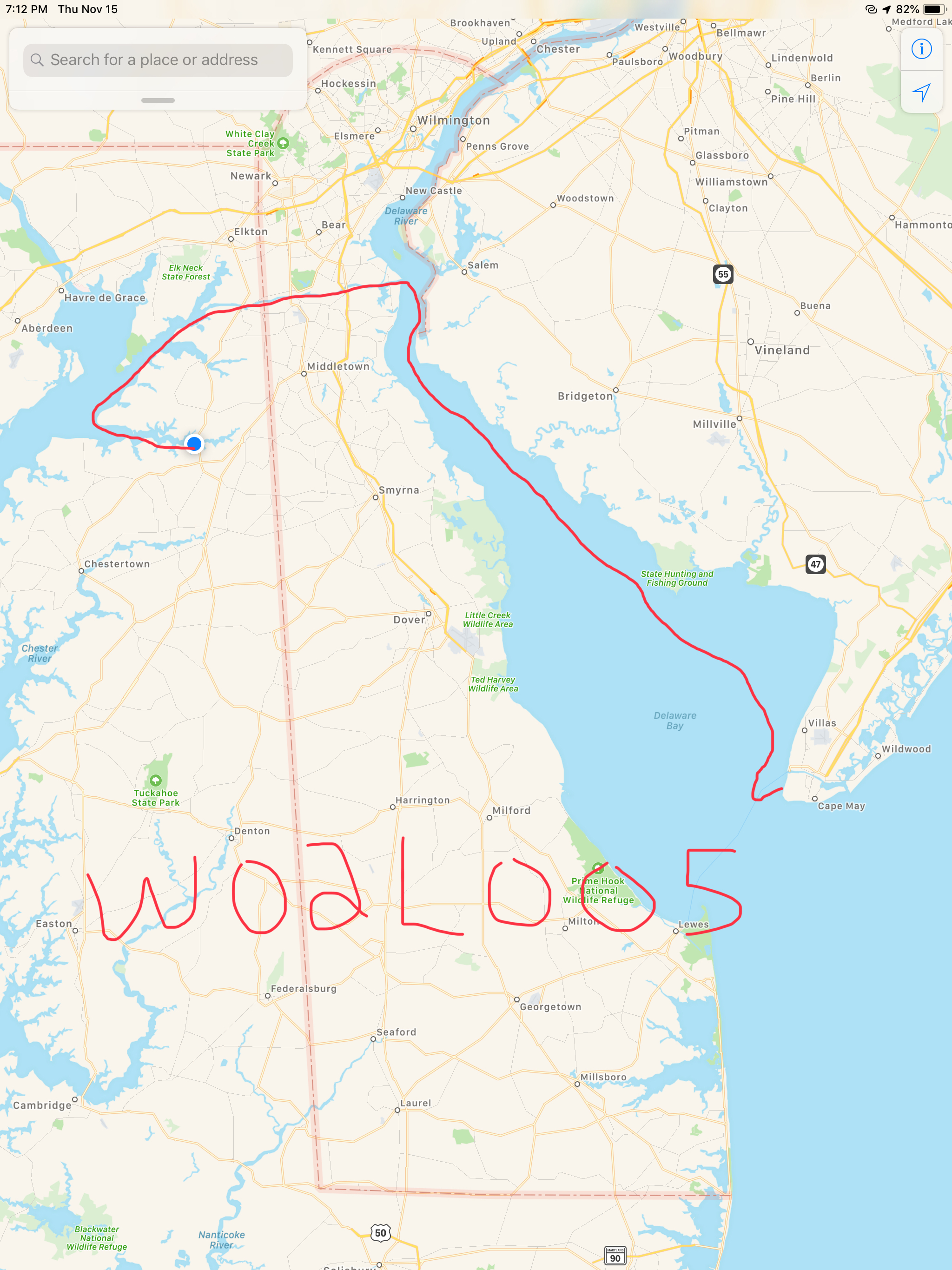
Our GPS tracker was capturing our journey as we headed South. It clearly was not recording where the straight lines are shown but it gives a reader an interesting view of our last few days of travel.

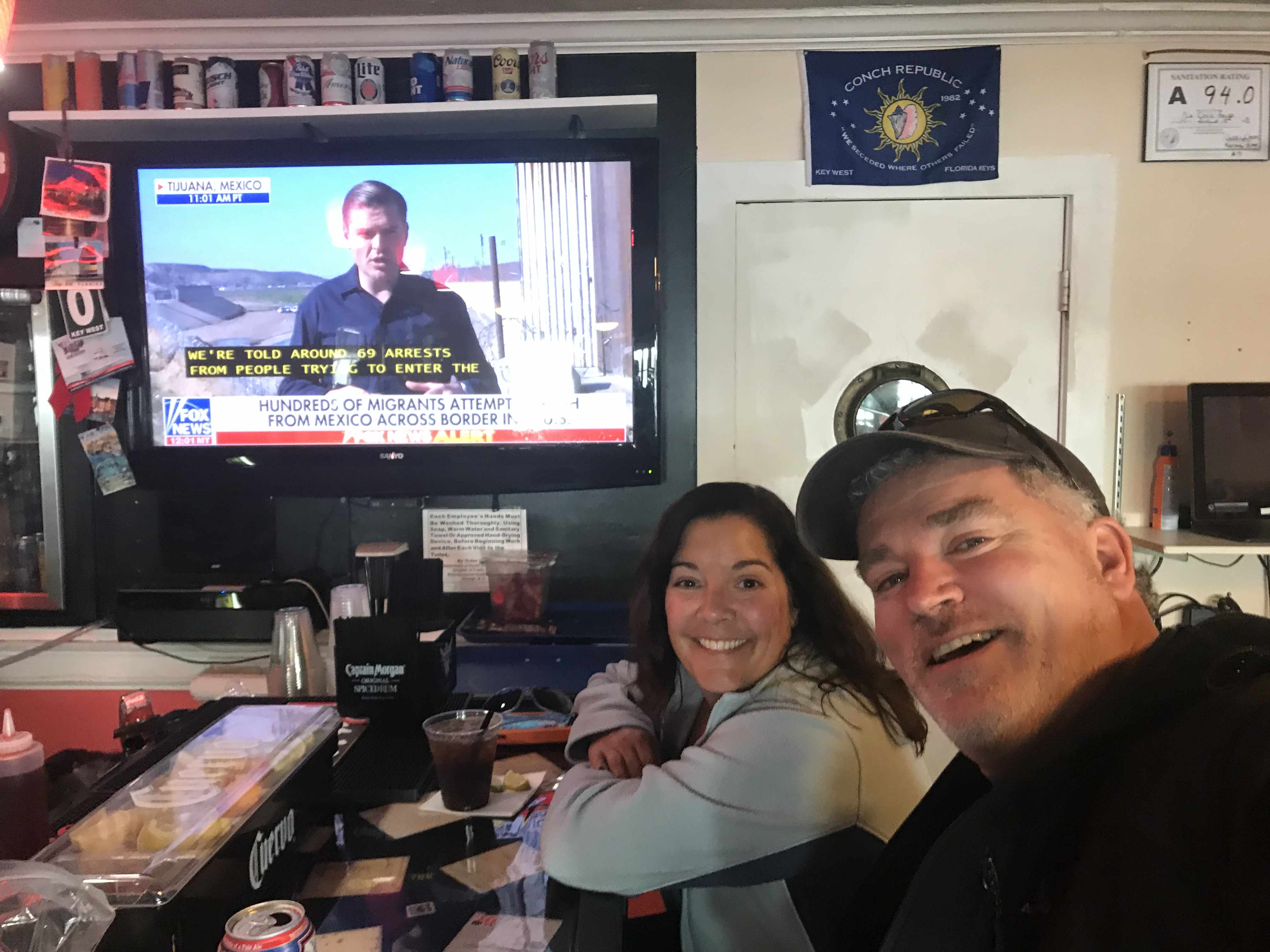
I met another fella who said he noticed my Boston accent as he was also from that part of town. When I said well I’m from Foxboro (home of the Patriots to be exact) he mentioned someone he knew from Foxboro and it turned out to be a childhood friend of mine (Small World).  Turns out we knew many of the same folks from back home. I snapped a selfie as it seemed like the right thing to do in the moment. 

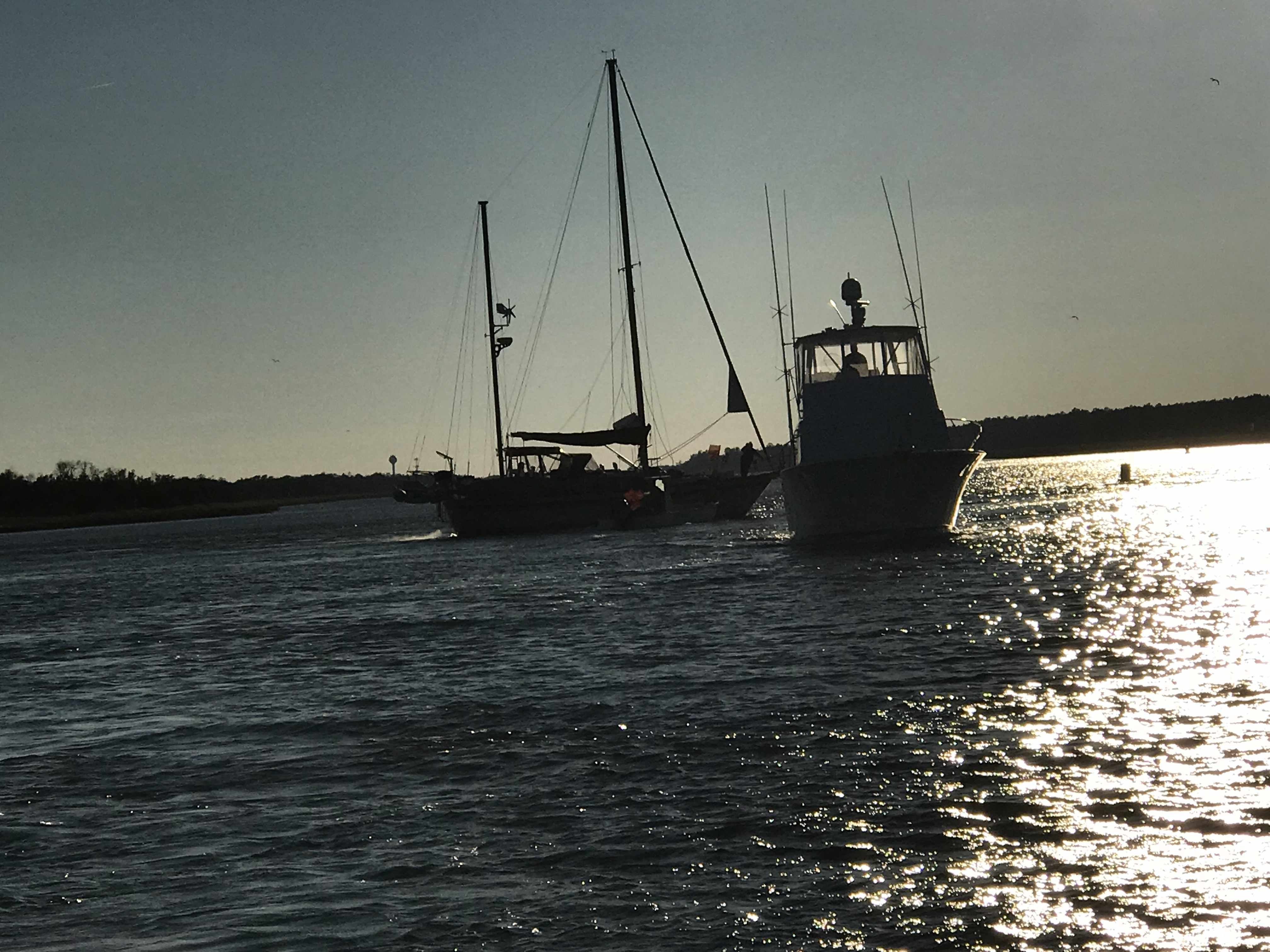
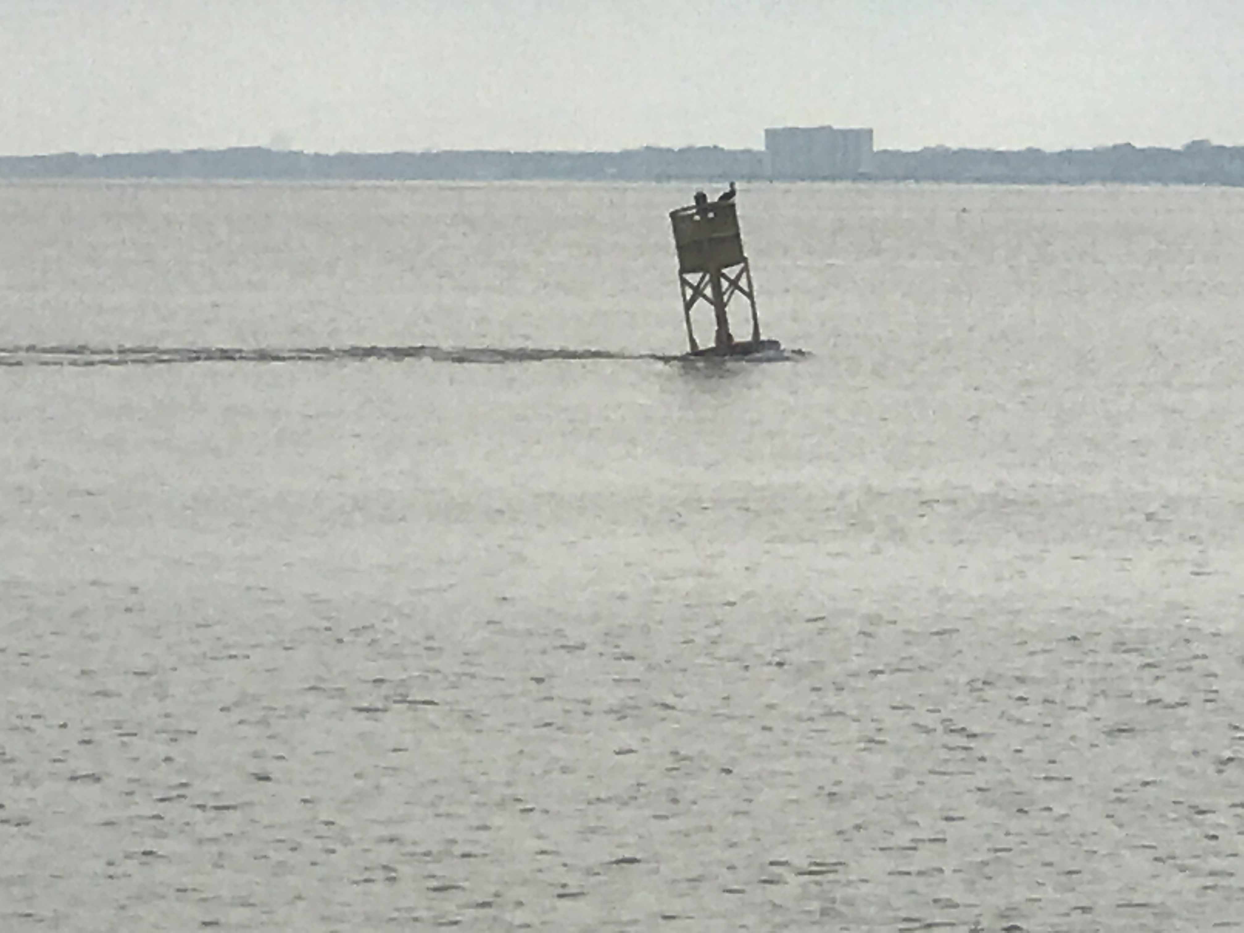
As we made our way out of Beaufort we passed a buoy tender with two gentleman who looked quite cold. 

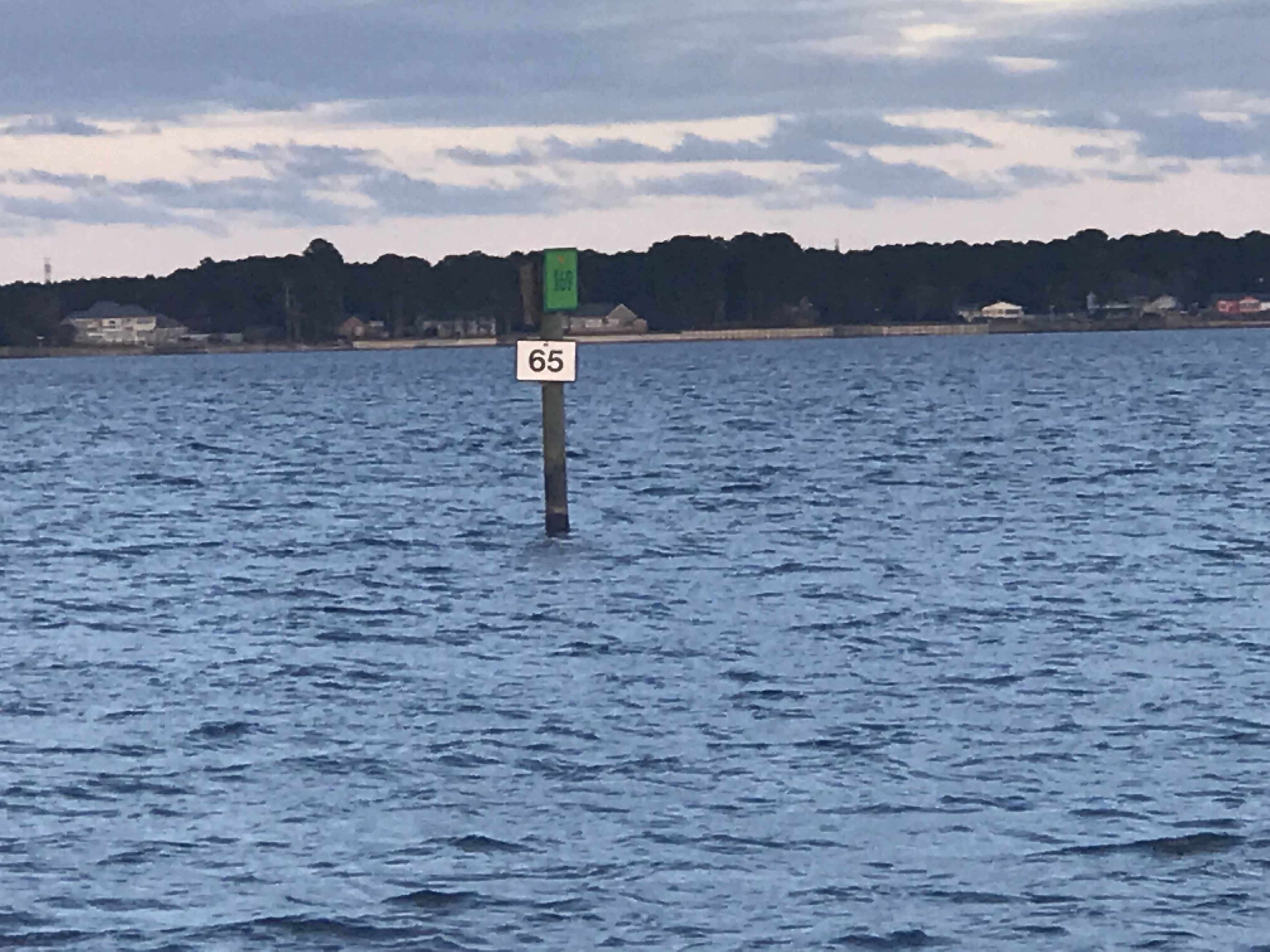
It was a small craft advisory and the whitecaps were appearing even in the small body of water we were in. 

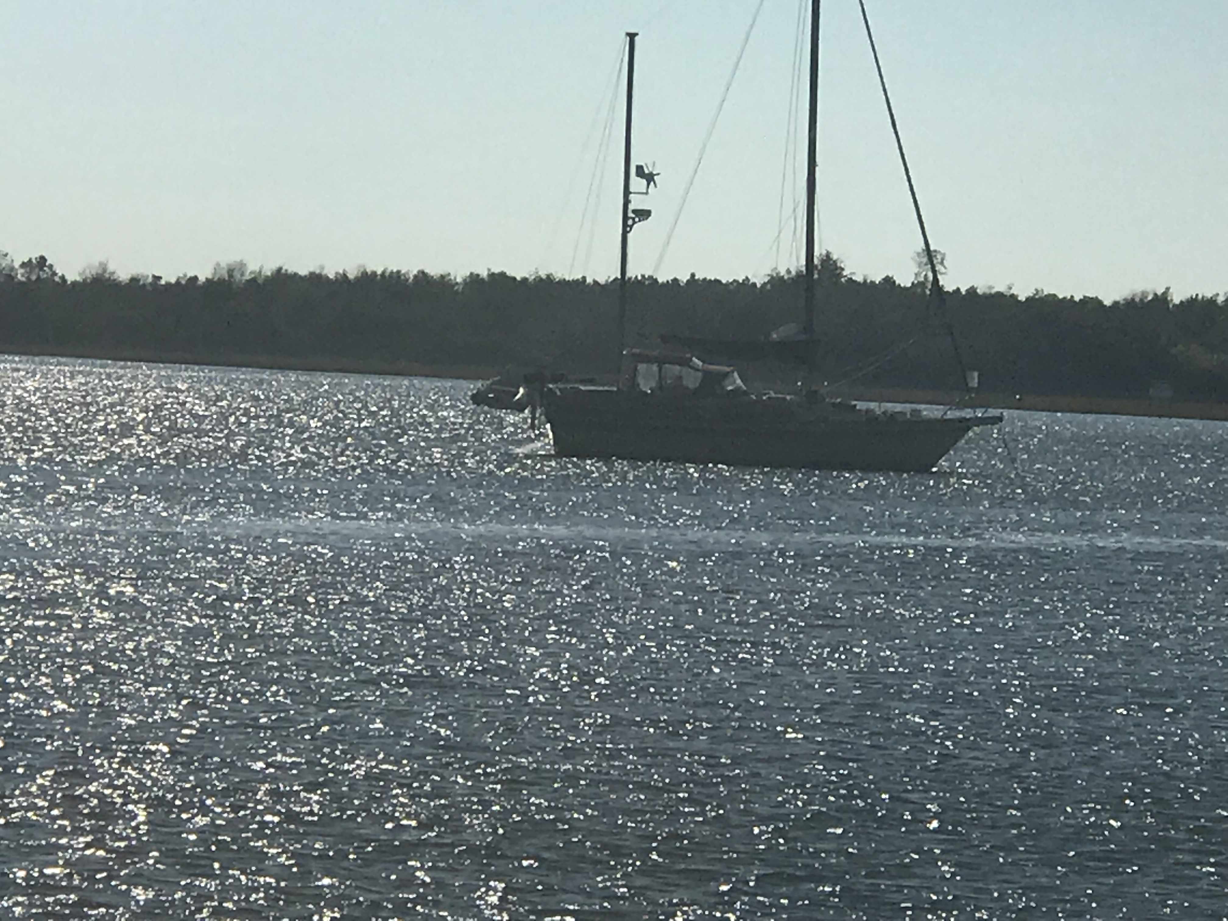
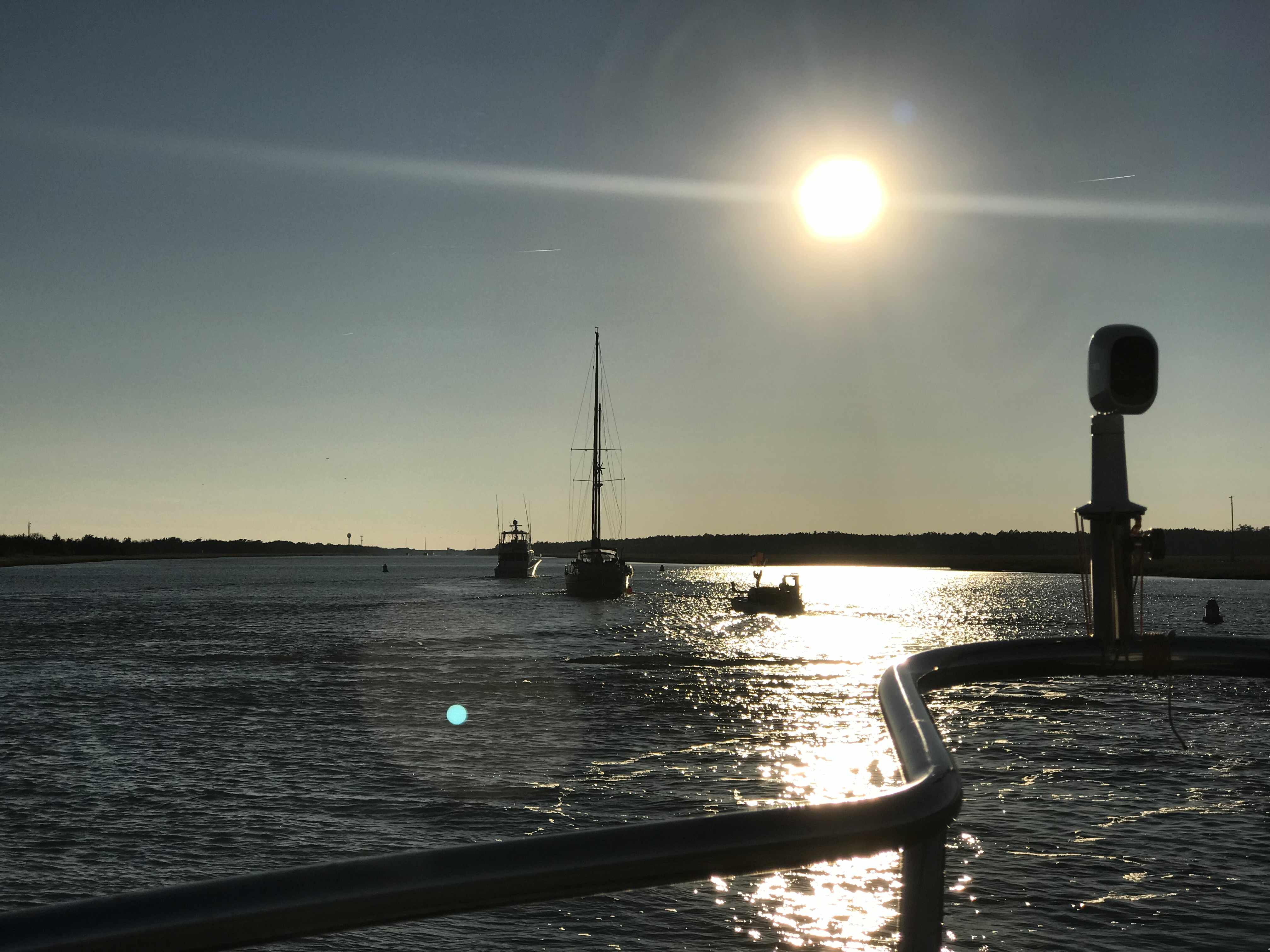
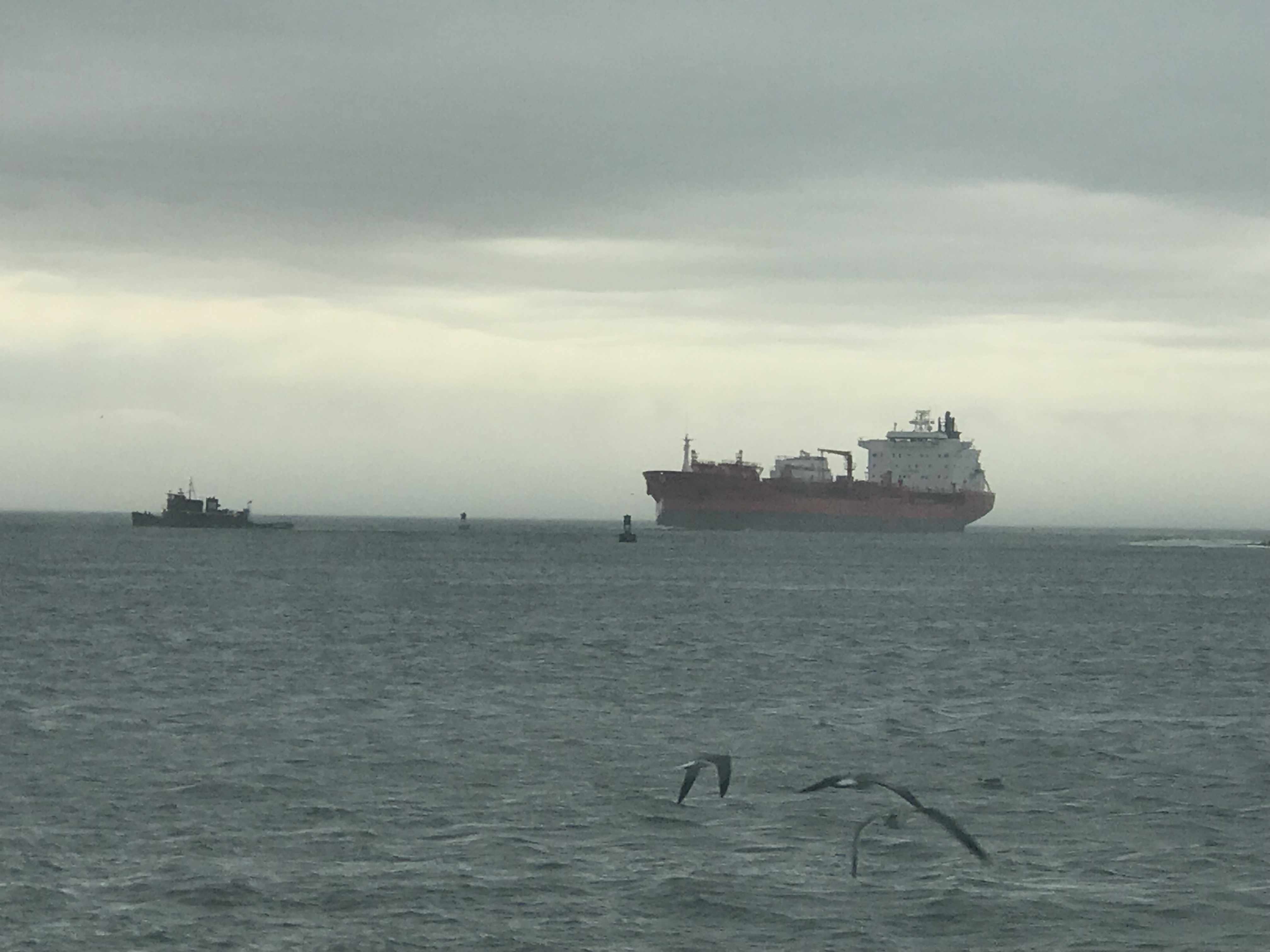
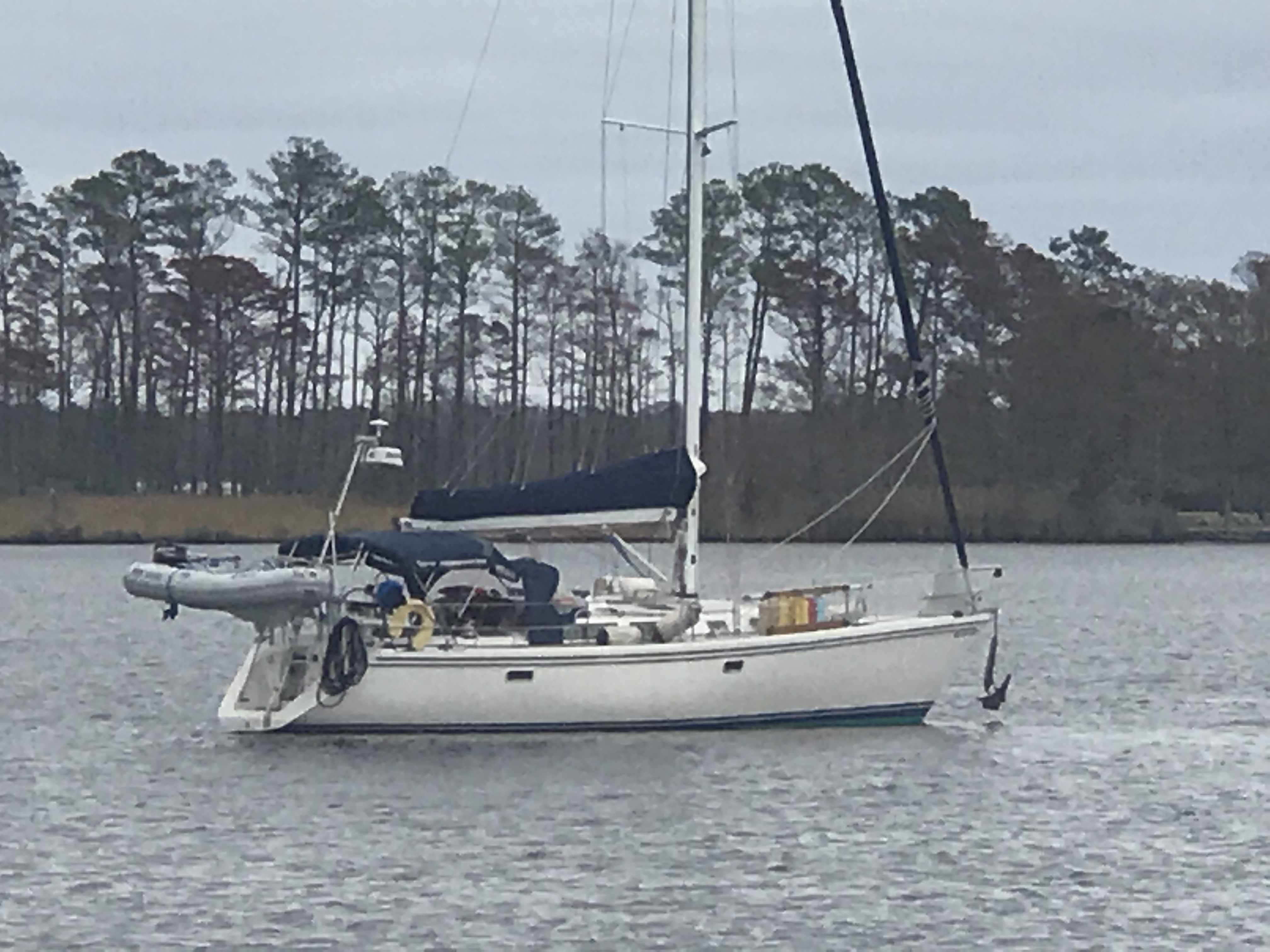
As we made our way down Bogue Sound I hailed a boat that was anchored in the channel. Turns out they were having engine trouble but were not in need of assistance.

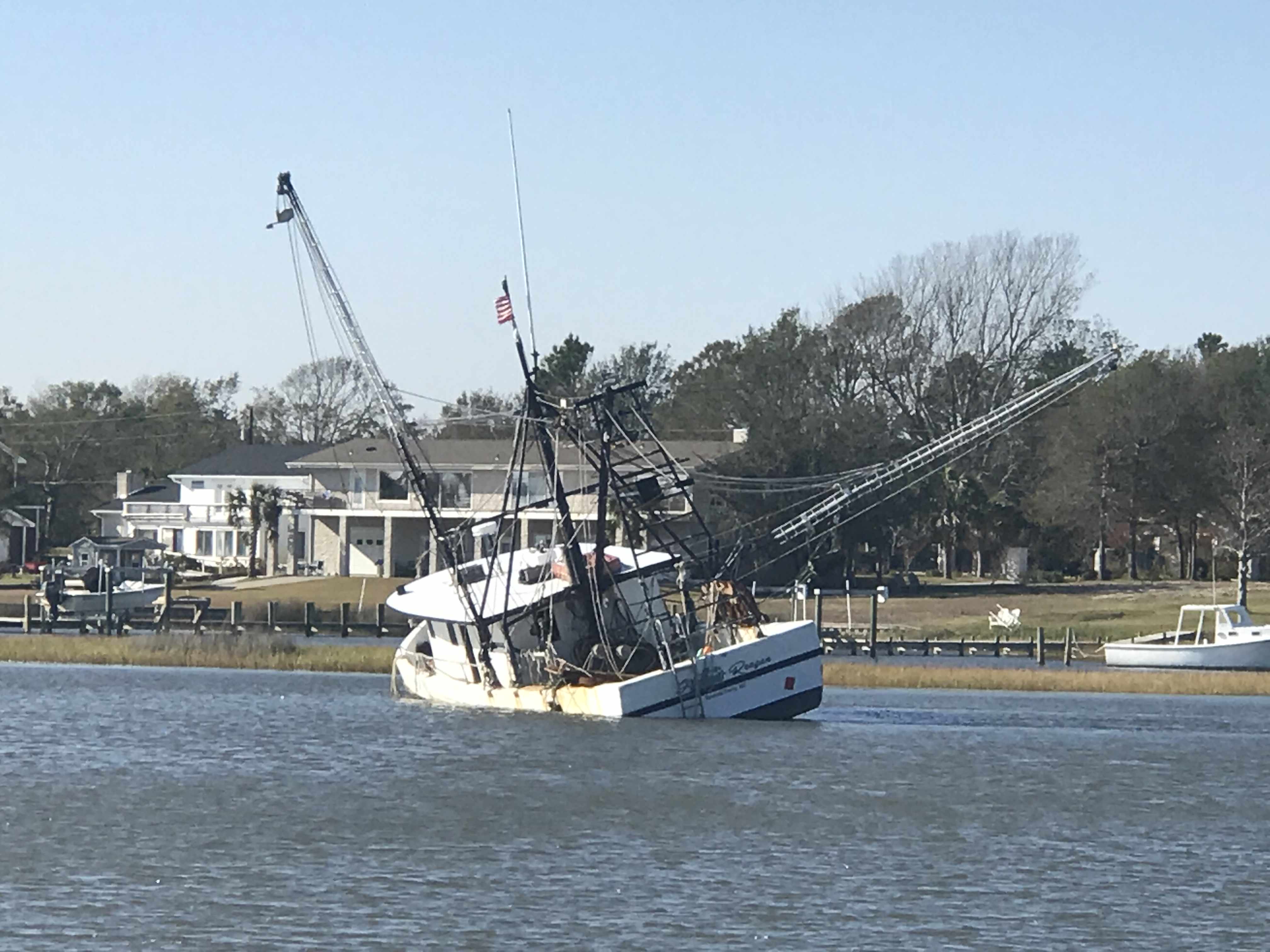
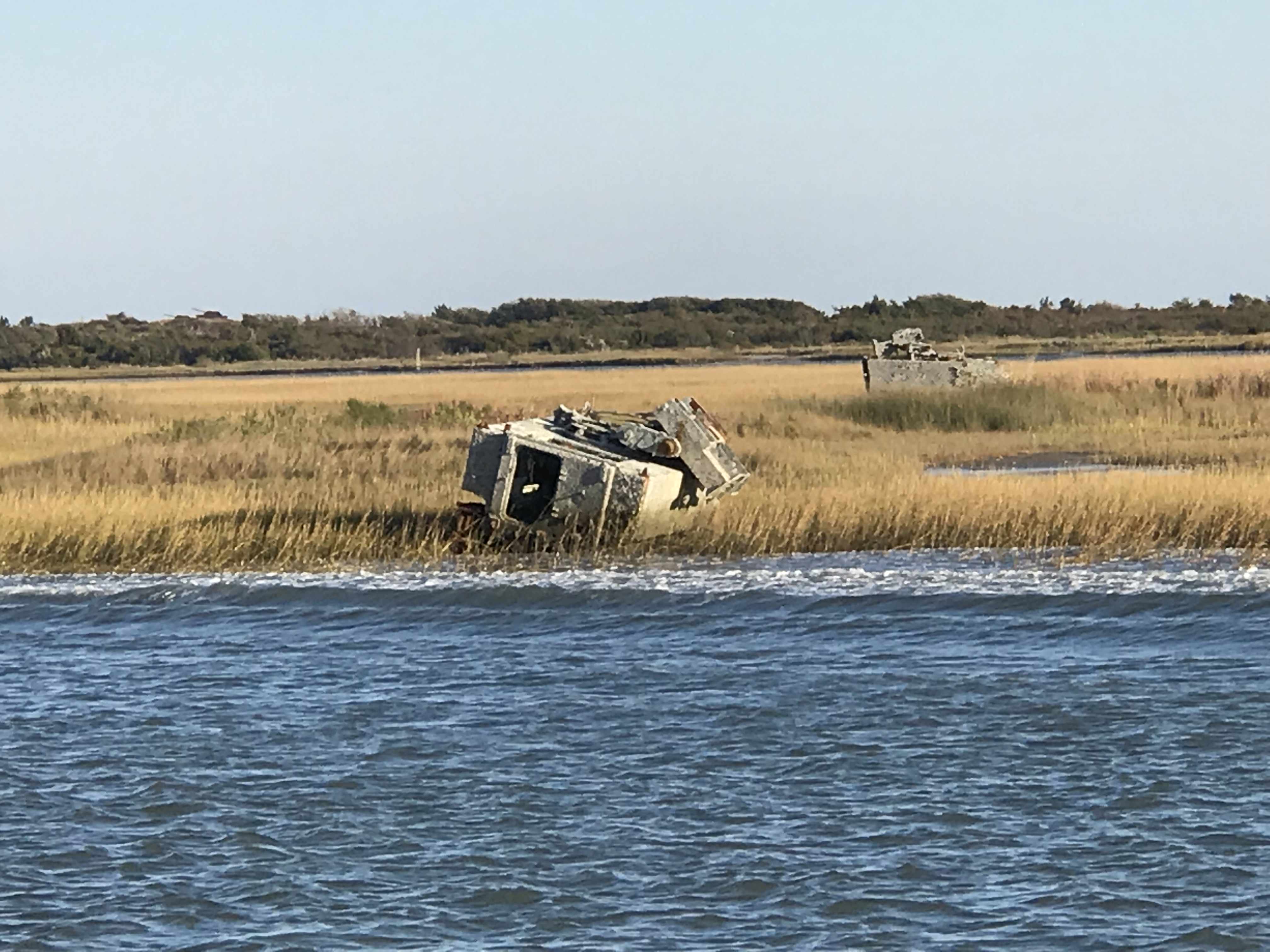
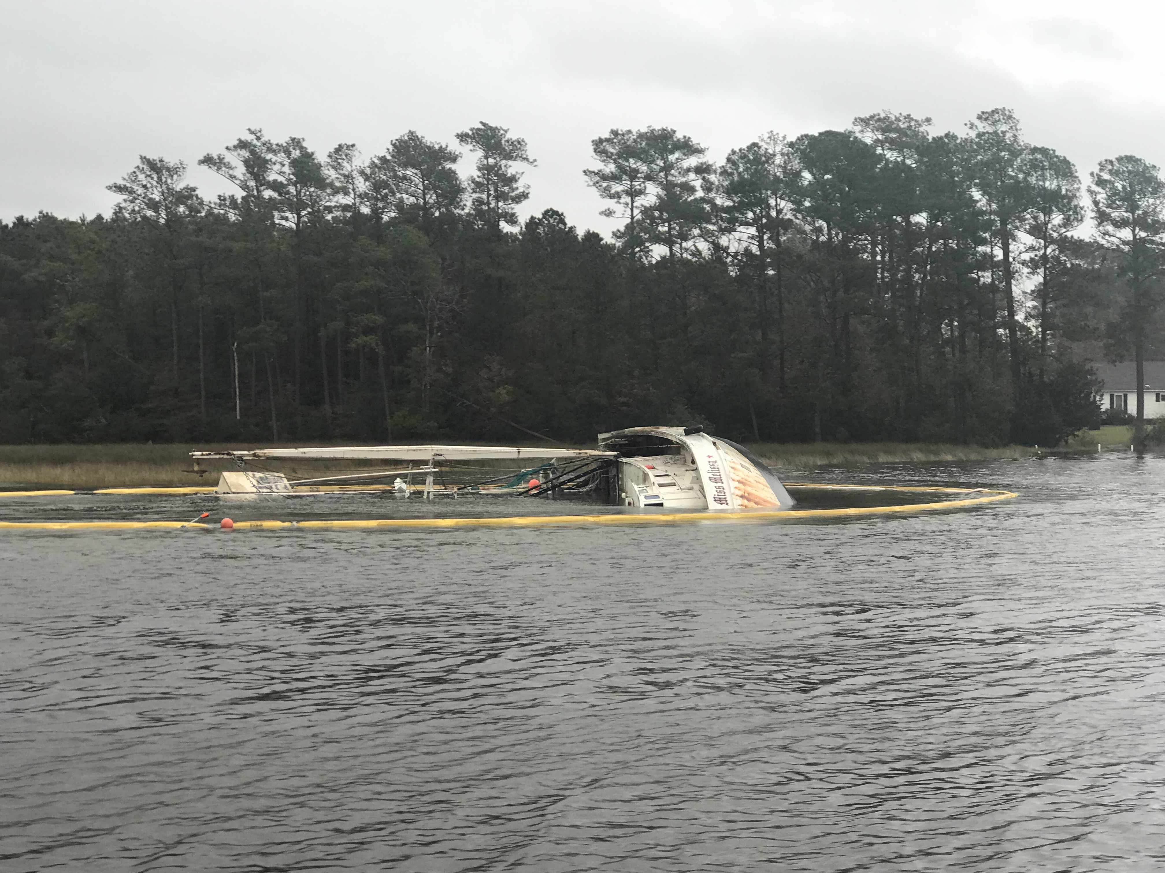
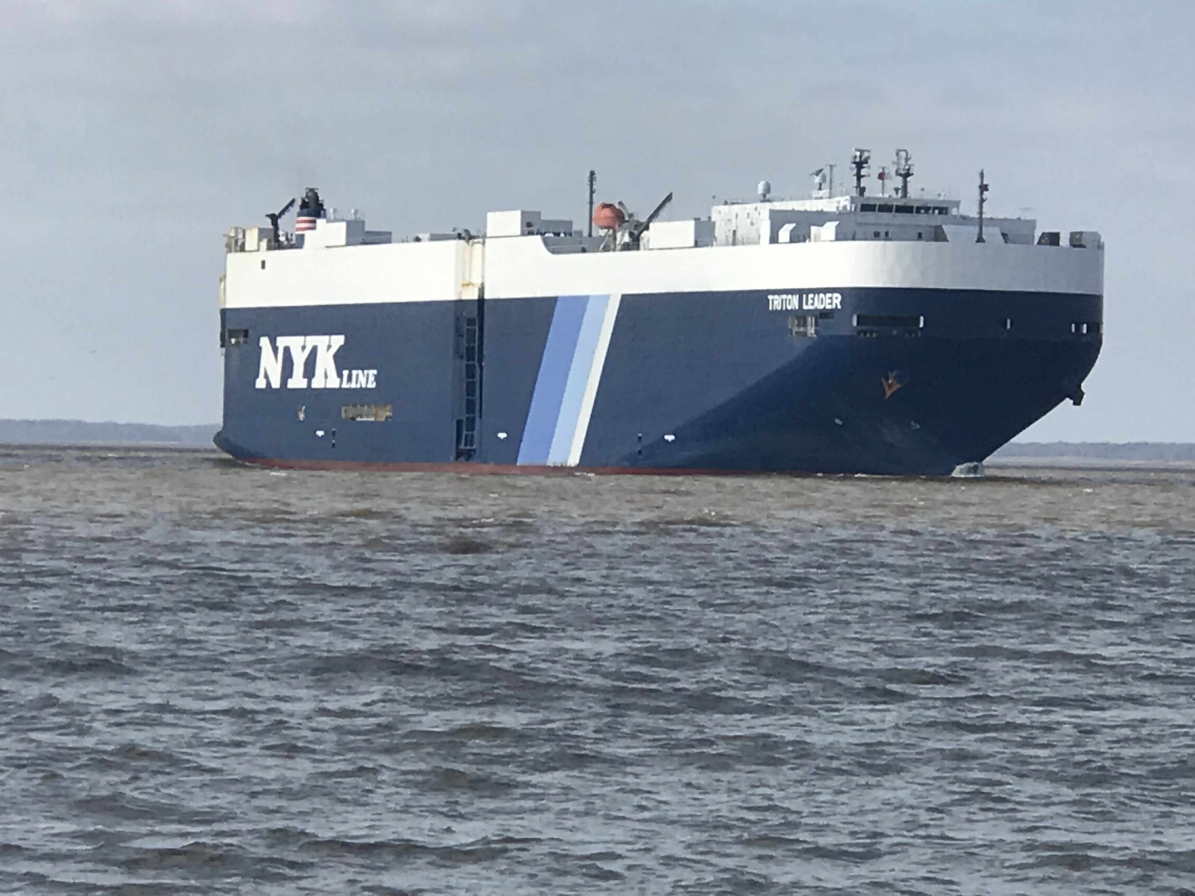
We passed this fishing vessel that had clearly sunk in the shallow waters.

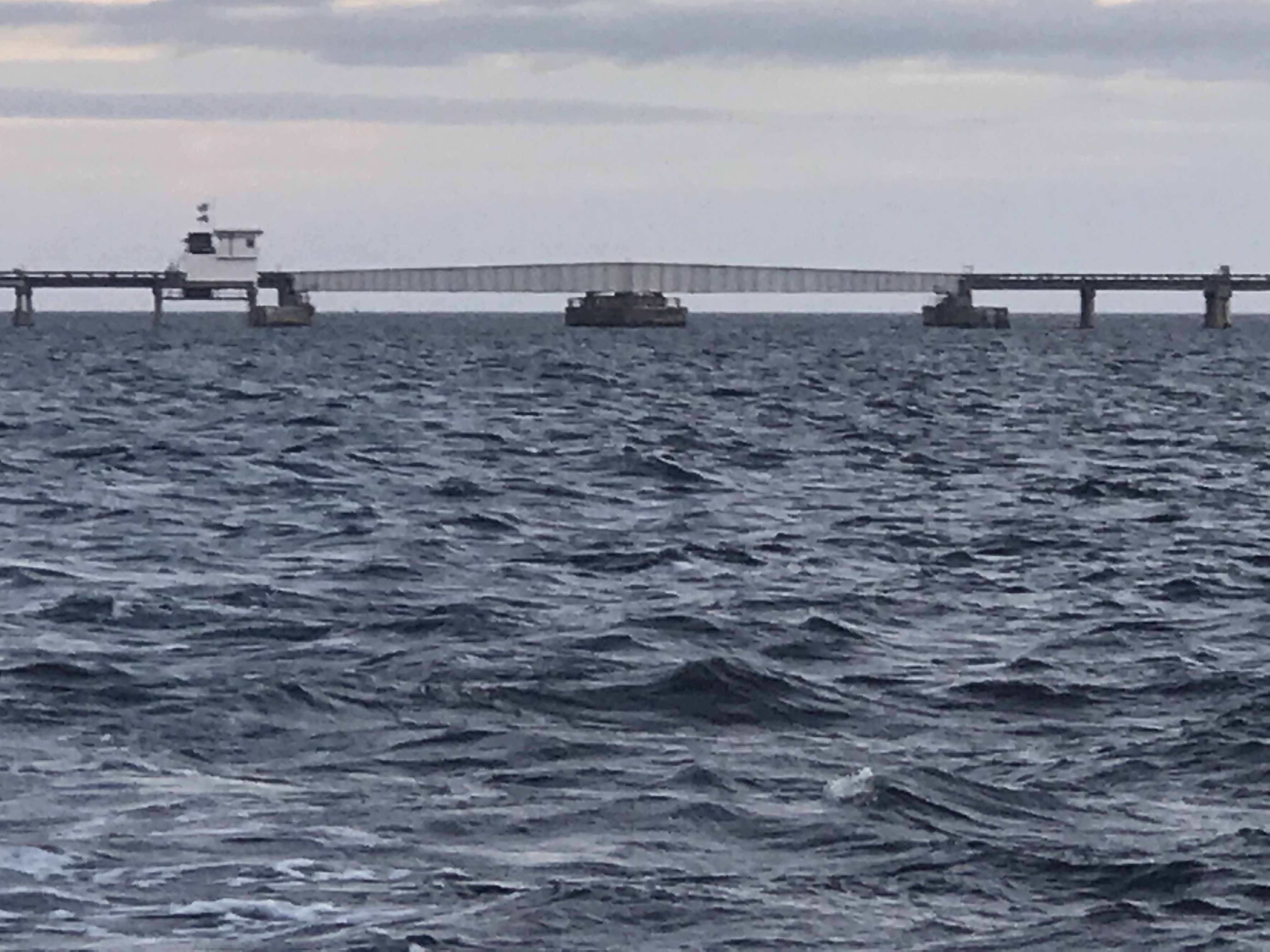
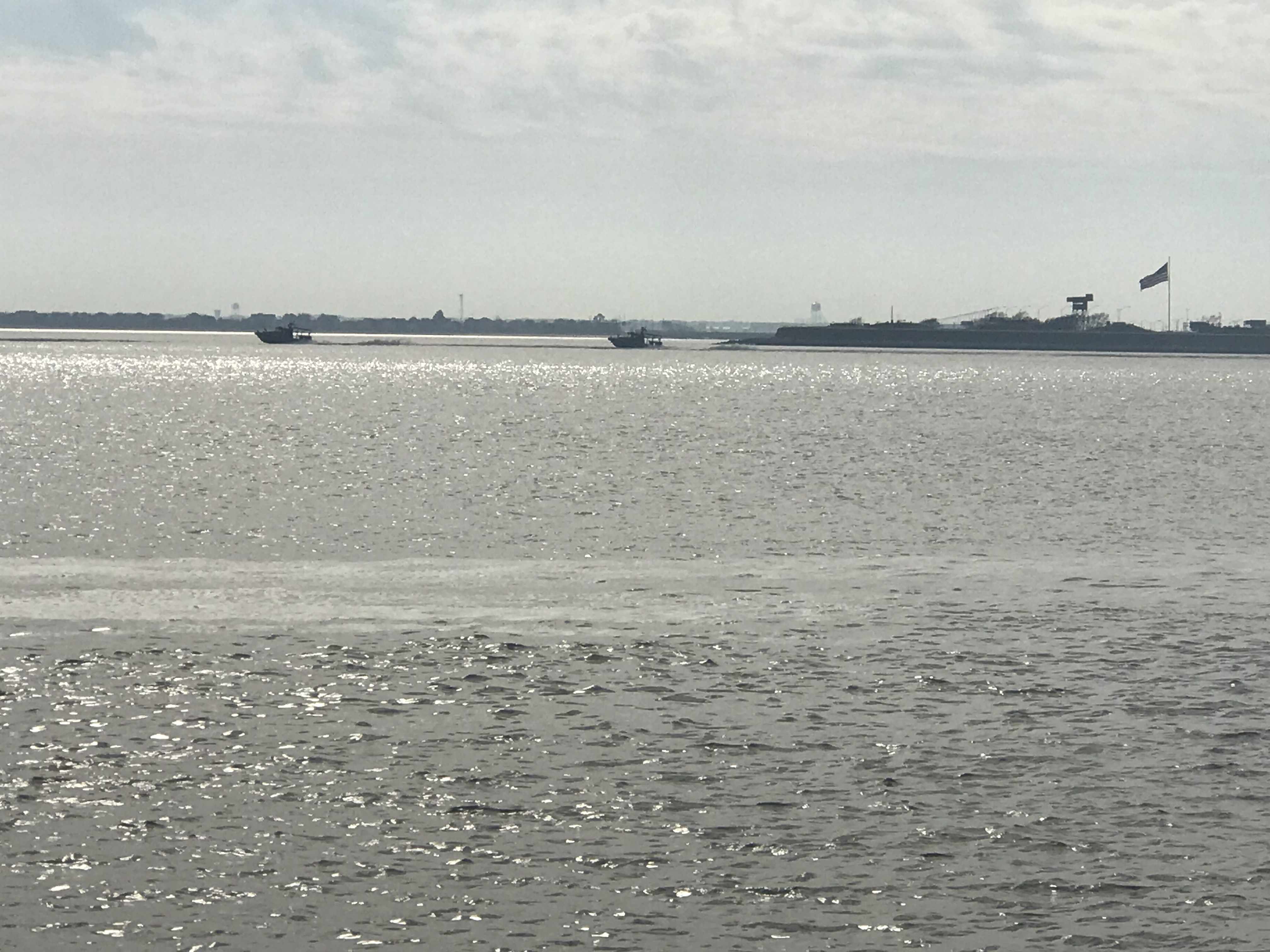
And around the next corner was the Marines Camp Lejeune. They were doing live fire exercises to we were forced to stop and drop anchor. 

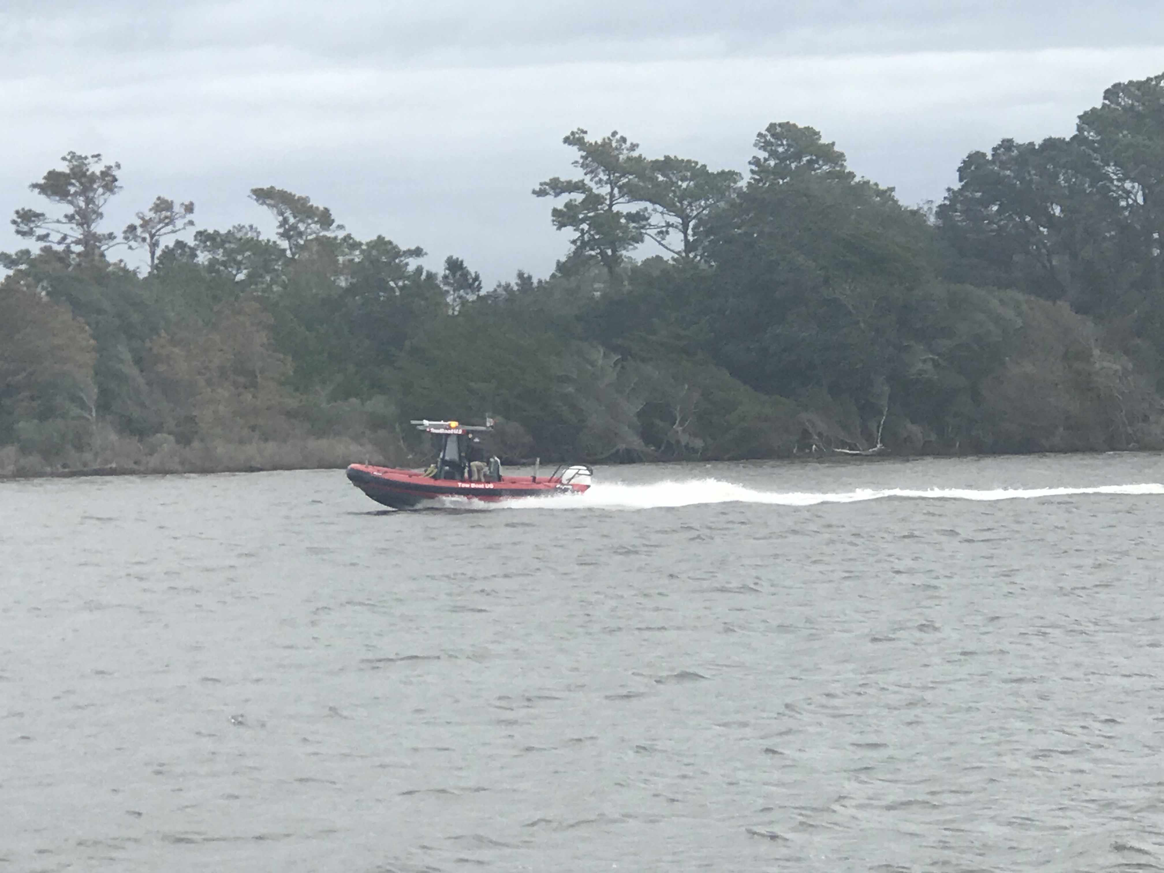
We dropped anchor believing that no traffic could pass during the exercises but soon a tug boat was passing us on anchor. Maybe he was just slow making his way out of the firing zone?

It was fun to watch the Osprey plane flying over the top of us. Recall the Osprey is a plane capable of vertical take off and landing.

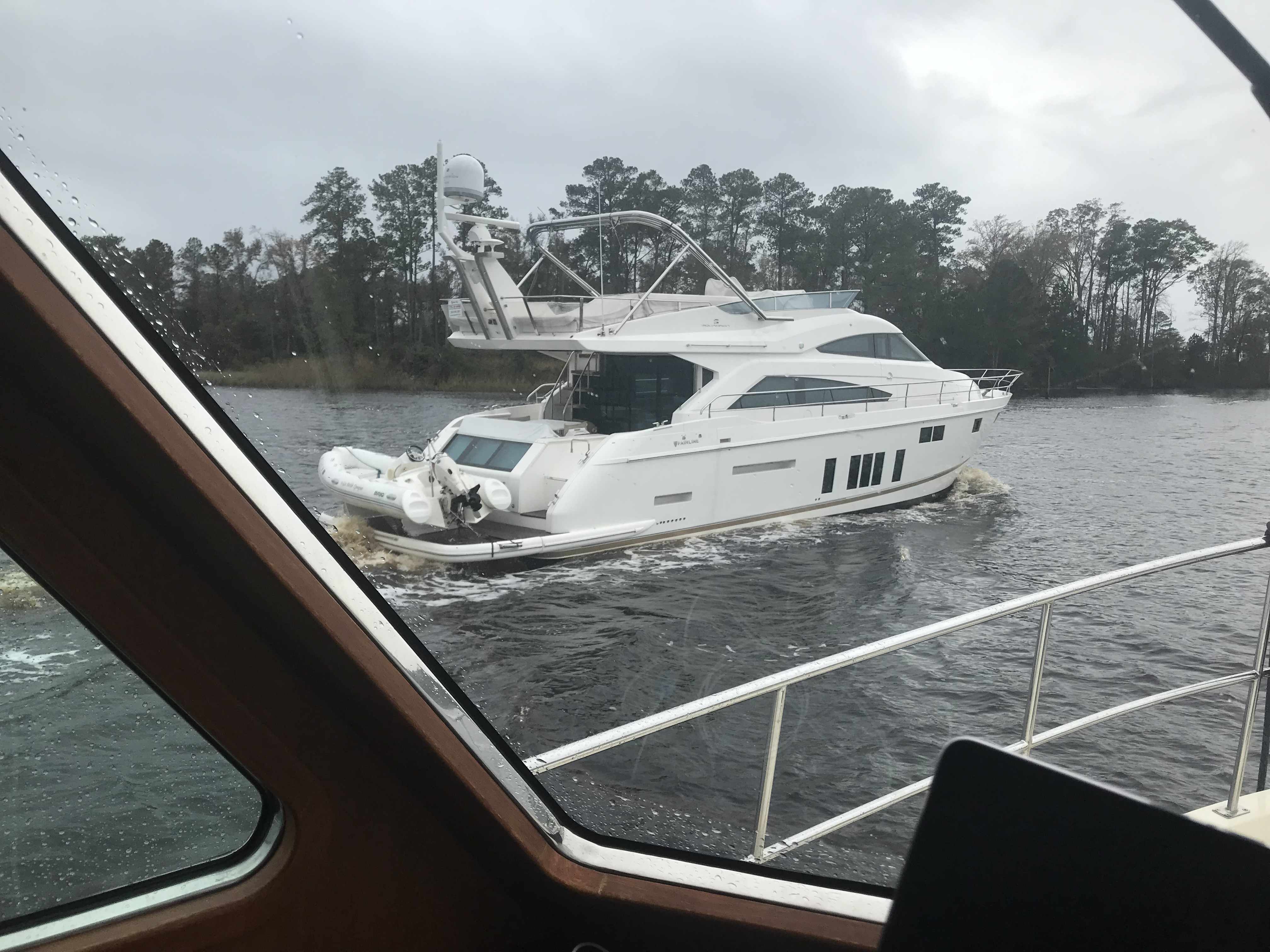
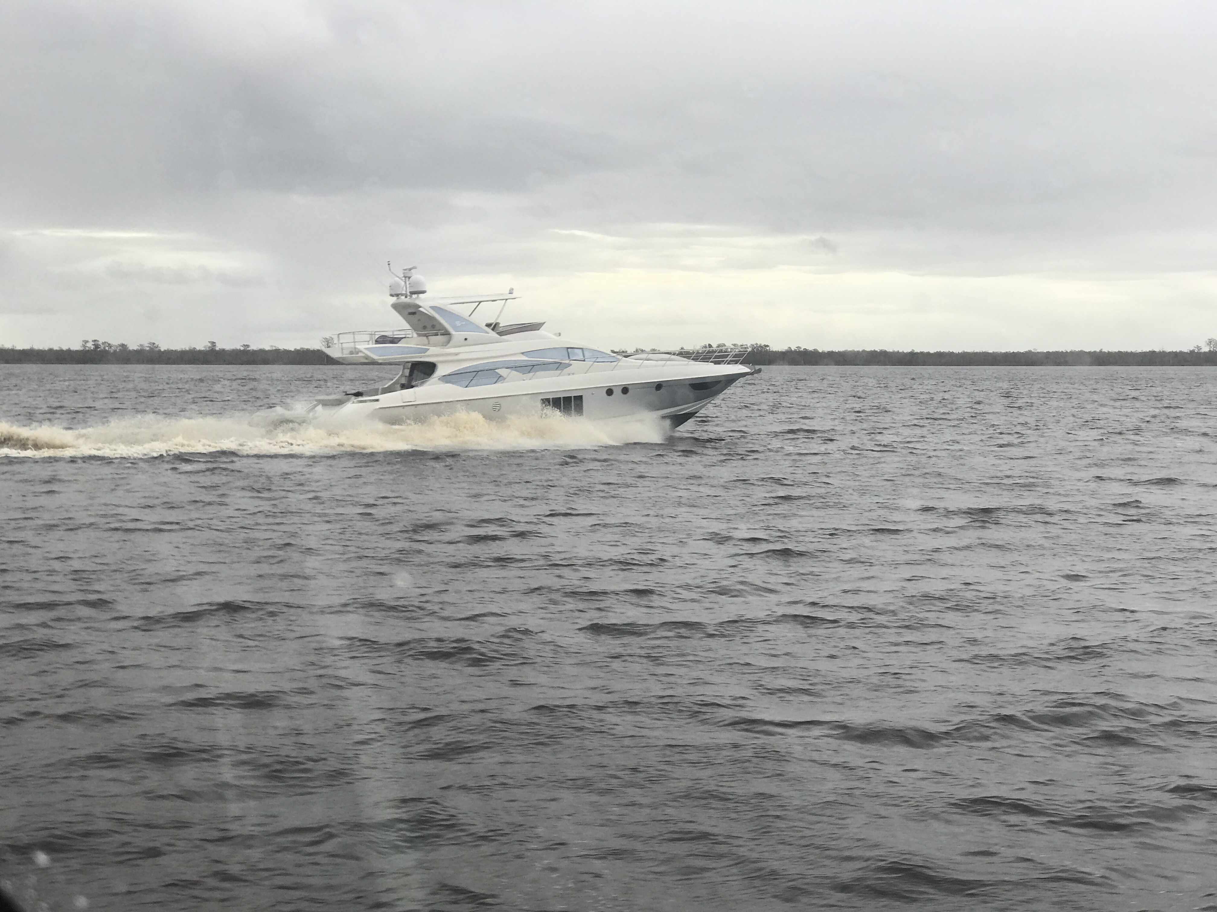
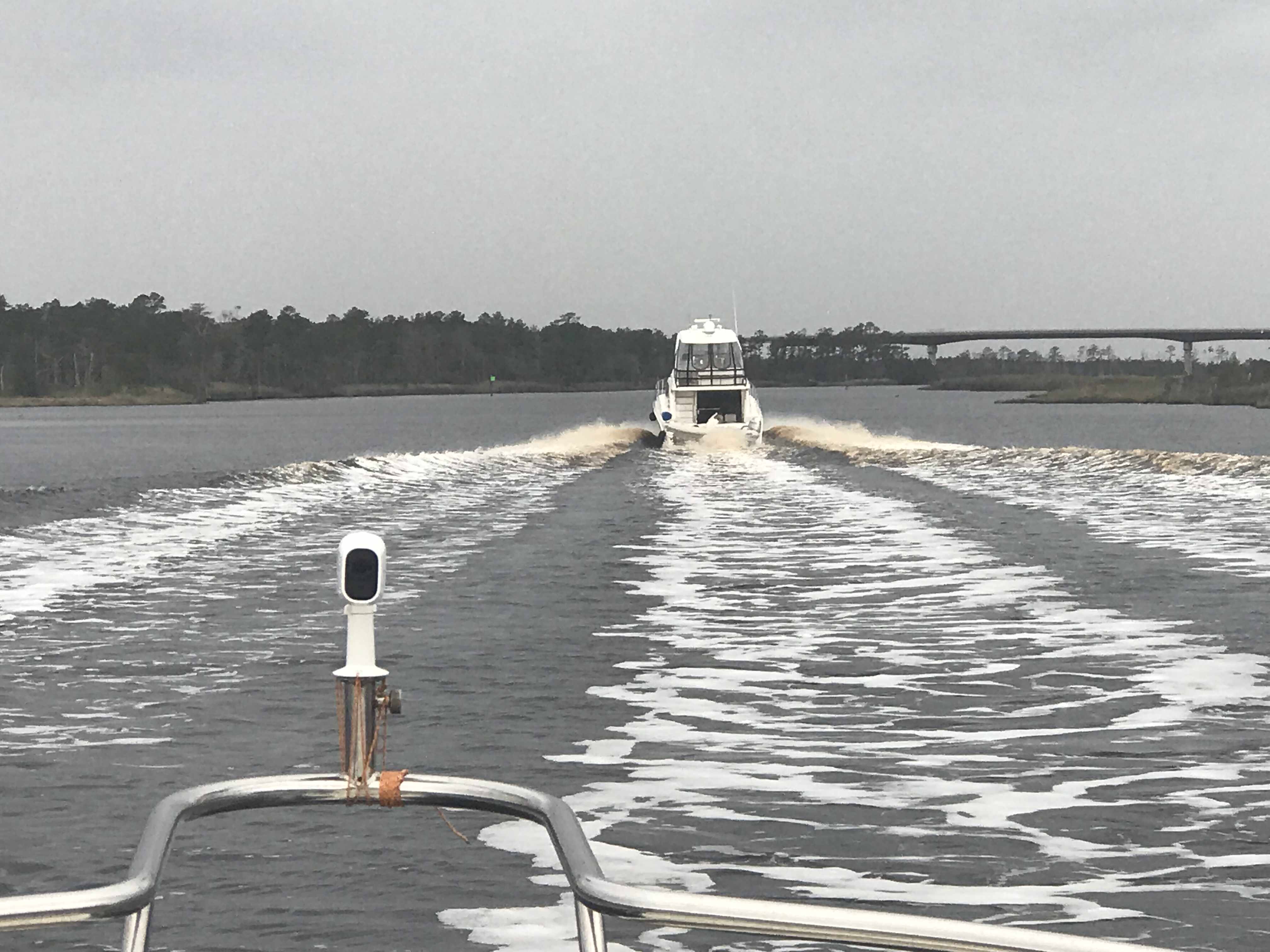
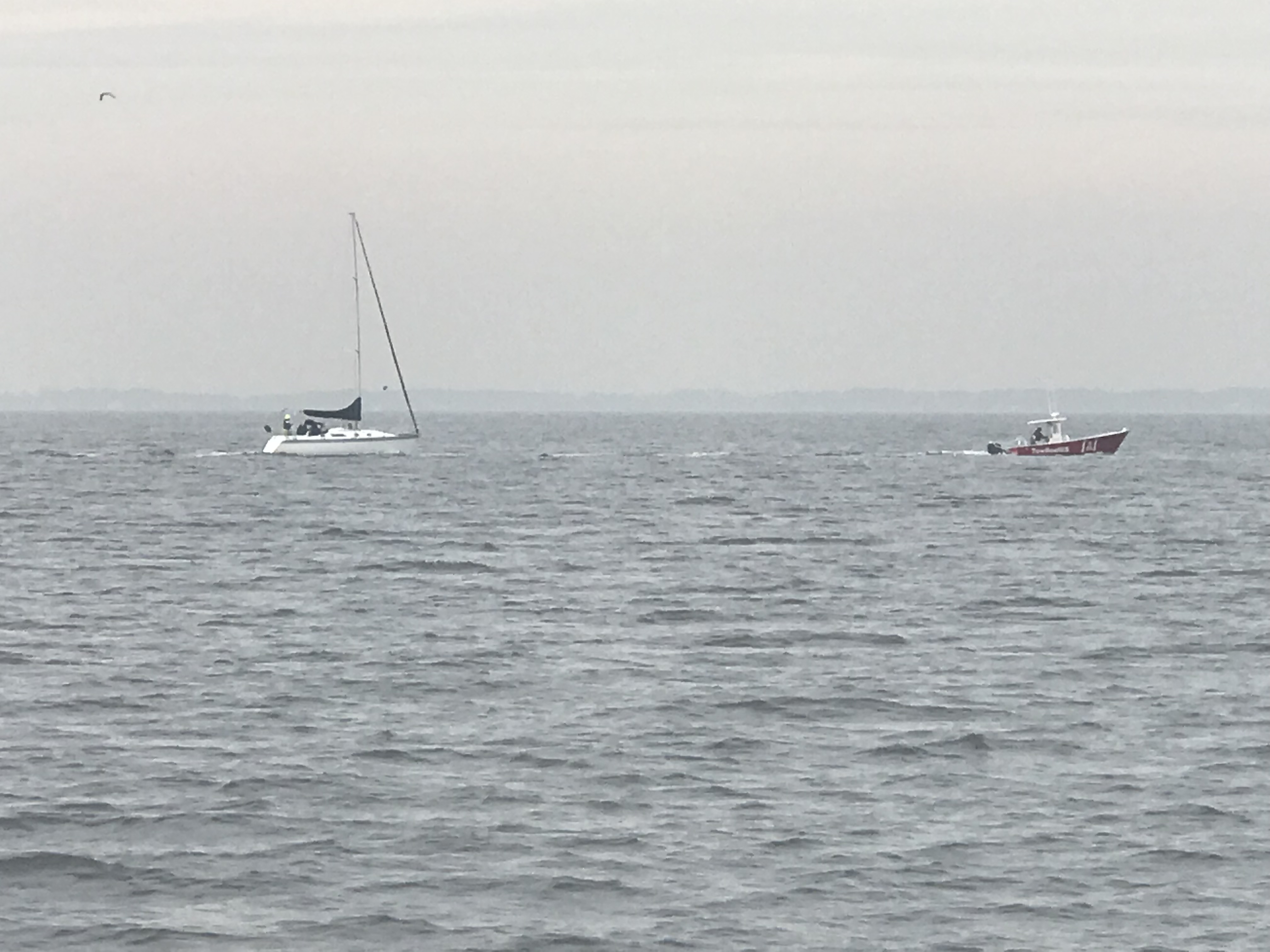
When we were finally allowed to continue down the ICW we and all the other boats were racing to make it to the only decent anchorage within range. You must be careful when you run fast down the ICW because if you run up on a shoal going fast you may not be able to back off of it. Soon the sailboat behind us ran aground and they asked us if we would turn around and come back and wake them as hard as we could to possibly rock them off the shoal that had them stuck. We agreed knowing that it was risky as in order to wake them we’d have to run fast right next to the shoal they were stuck on. We did our best but in the end a local crab boat was the one who deserves the credit for pulling them off. 

We were thrilled to see them free as it was still 2 hours away from low tide and if they had not gotten off that shoal quickly they were going to sit there into the night. 

 As we made our way to the anchorage at Camp Lejeune we passed many bullet riddled targets on shore. 

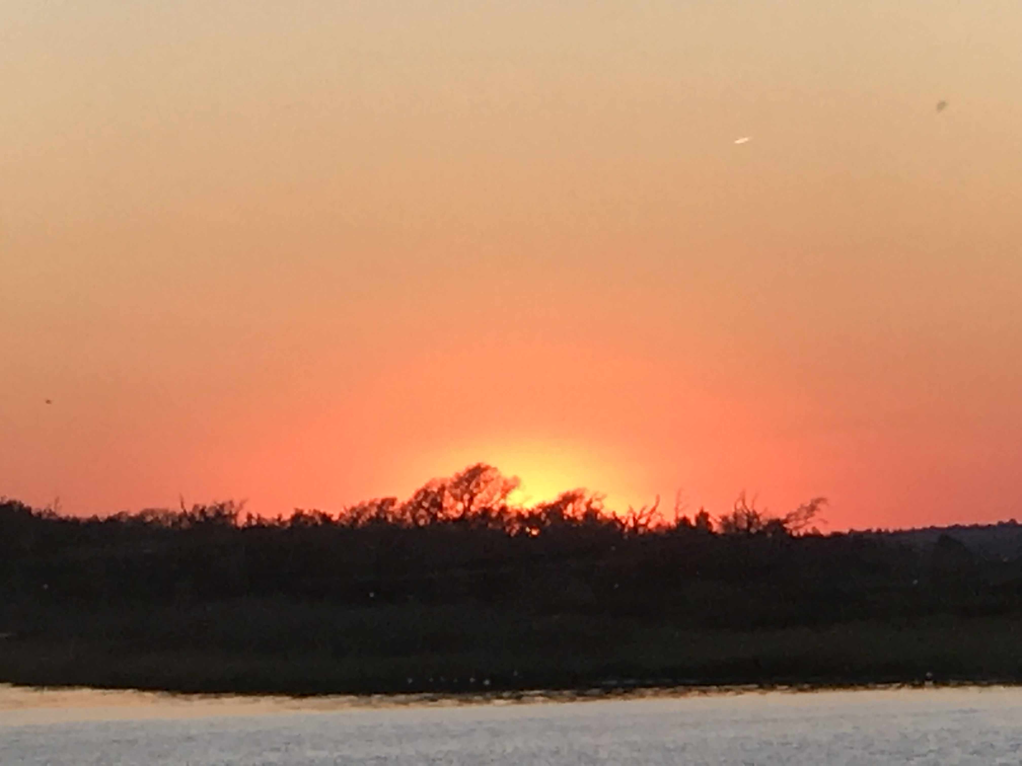
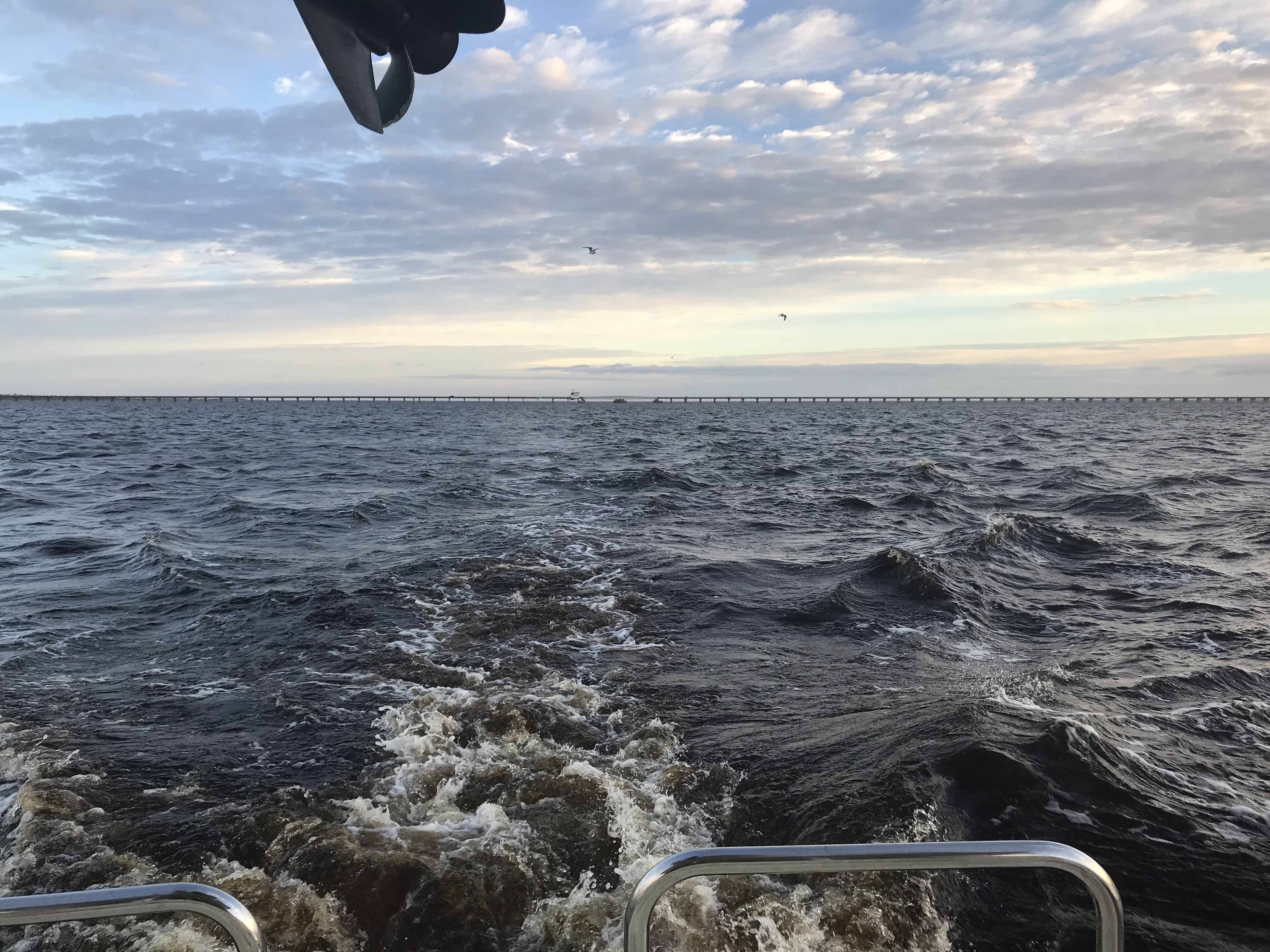
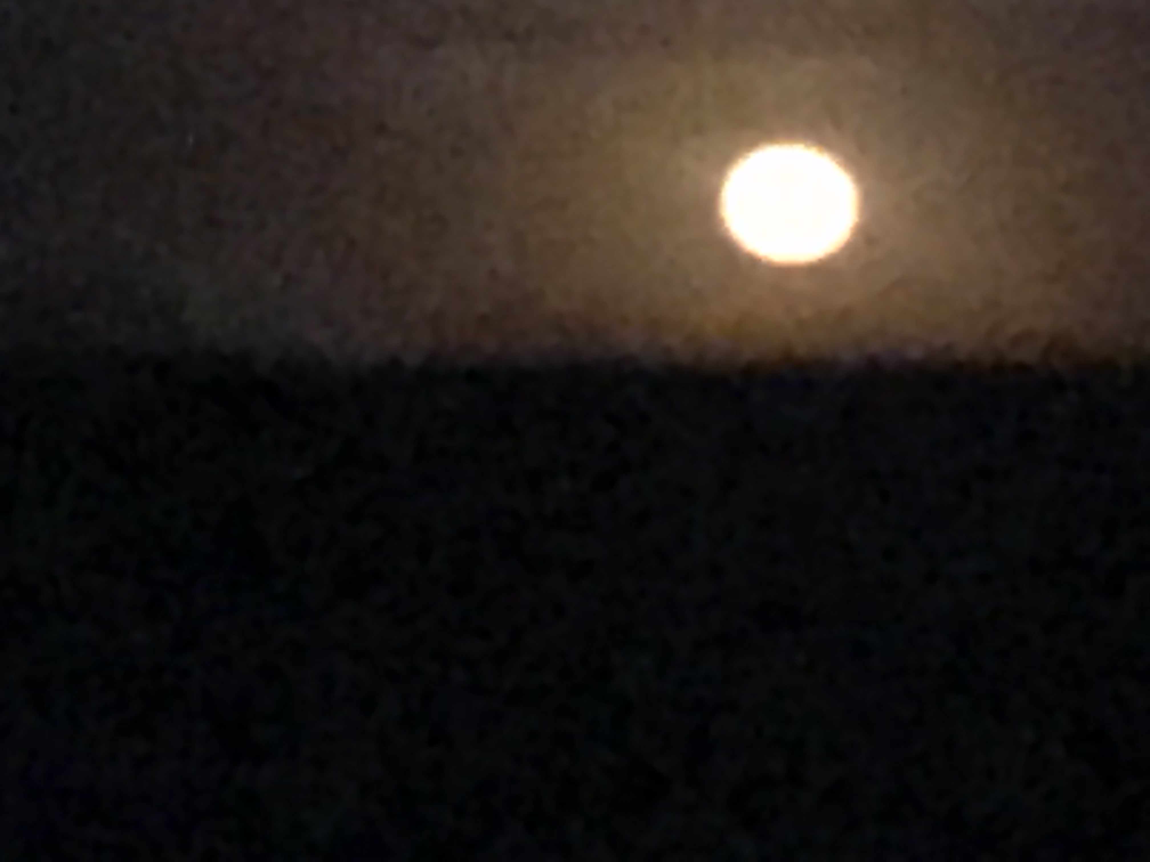
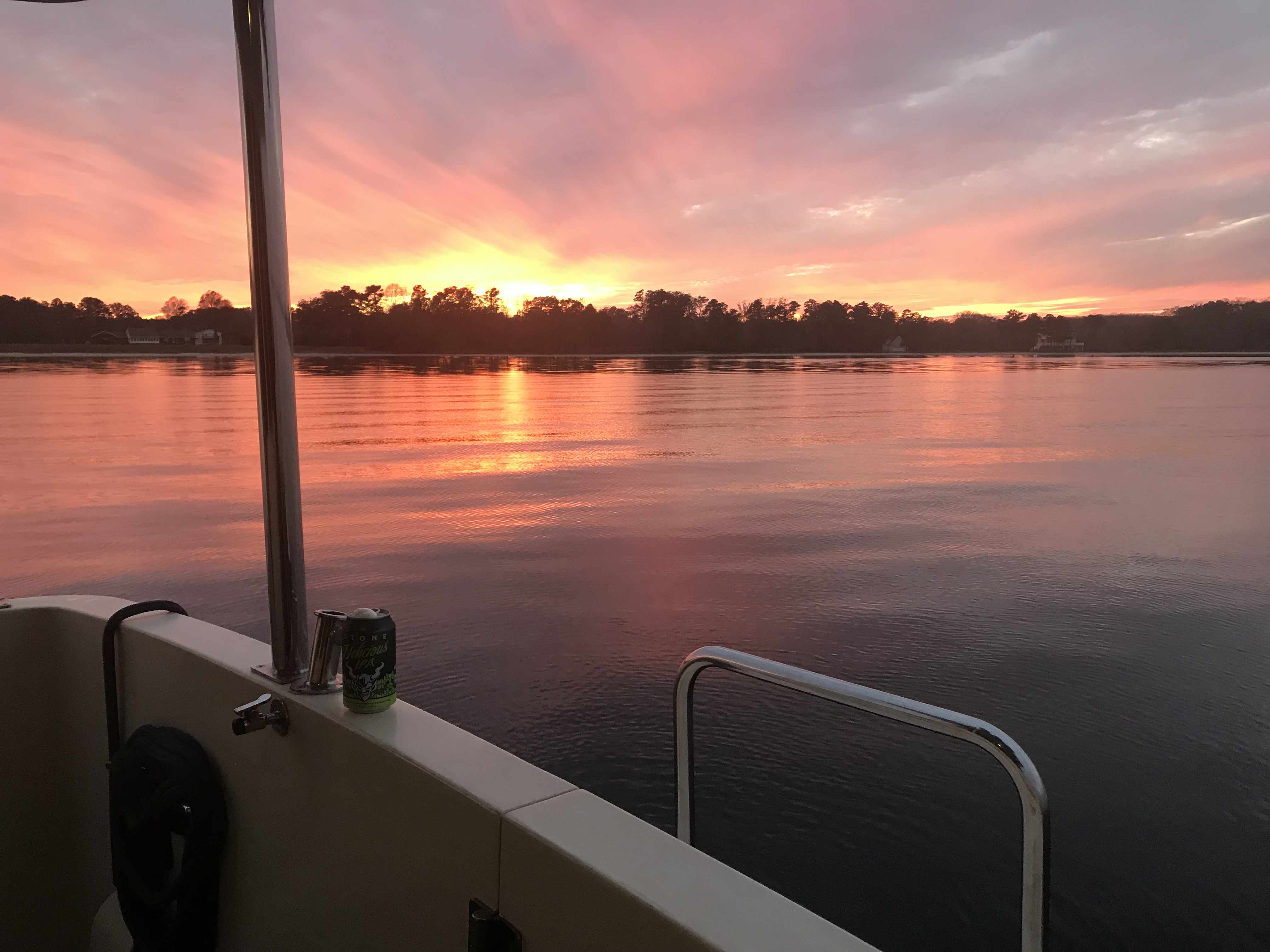
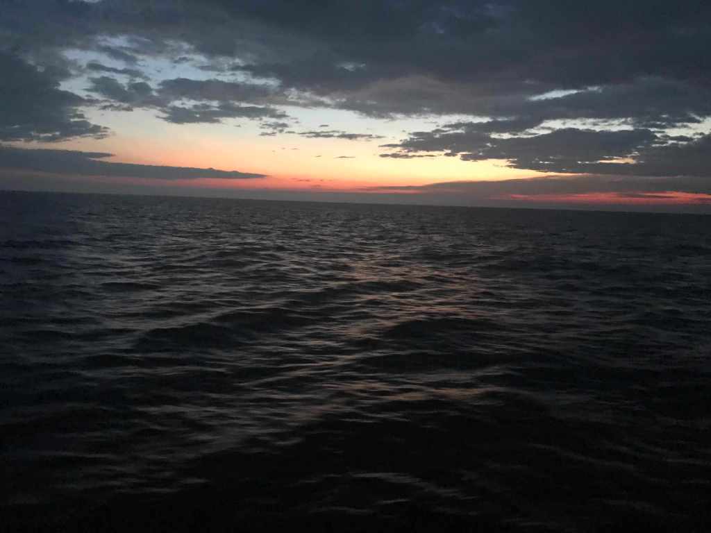
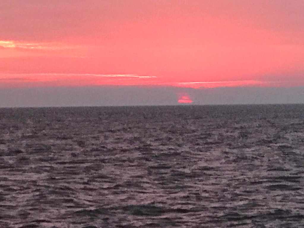
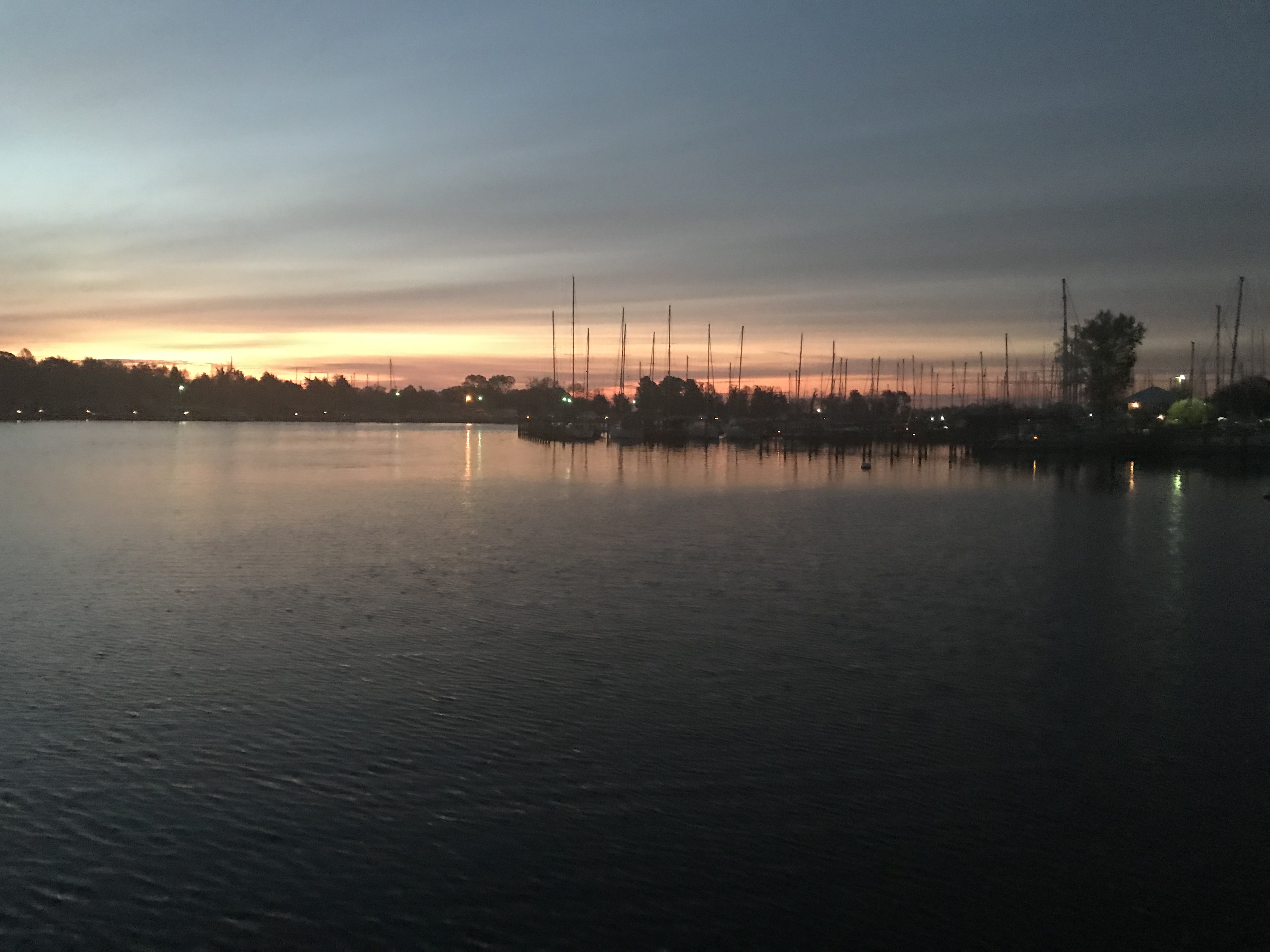
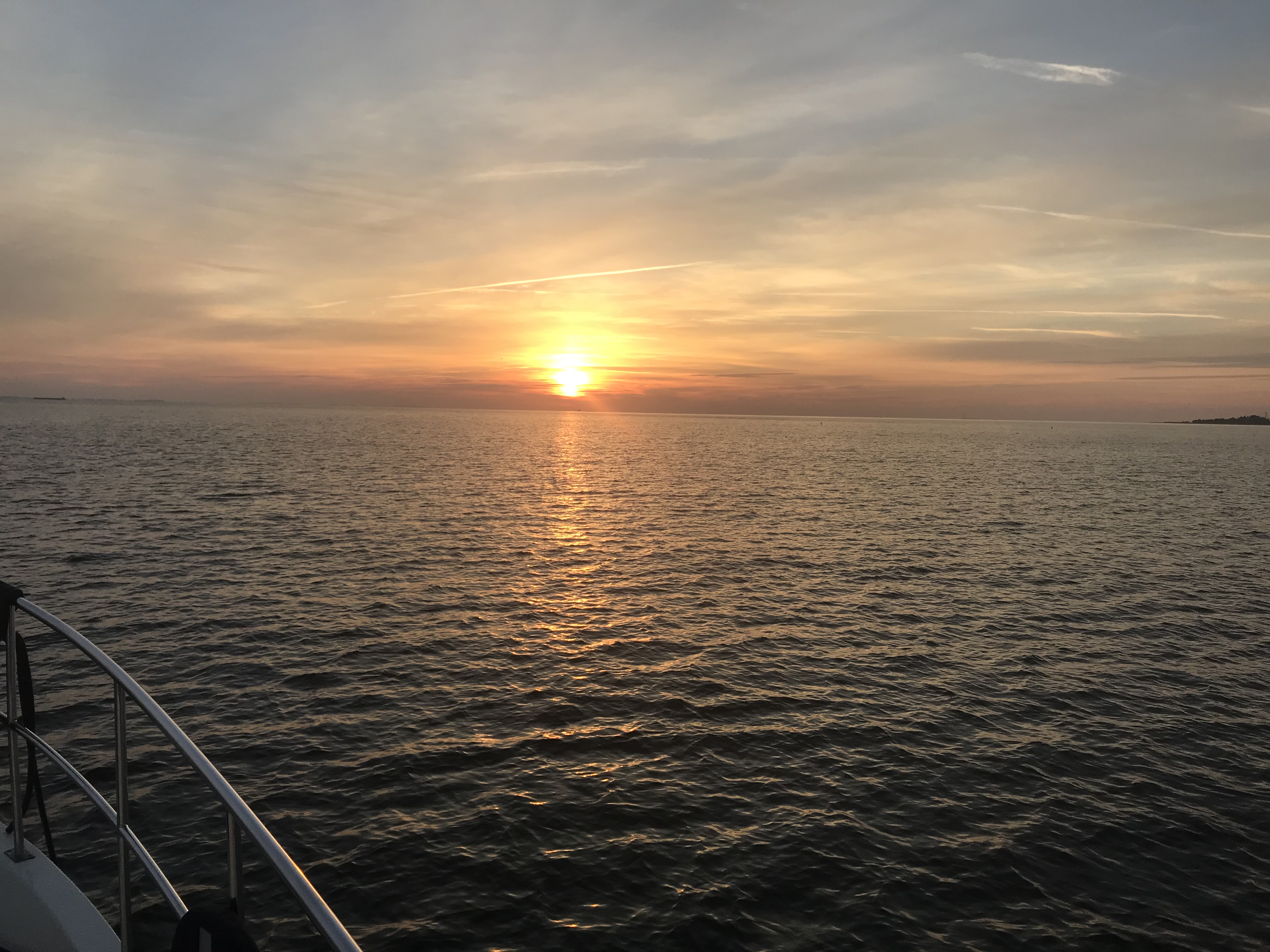
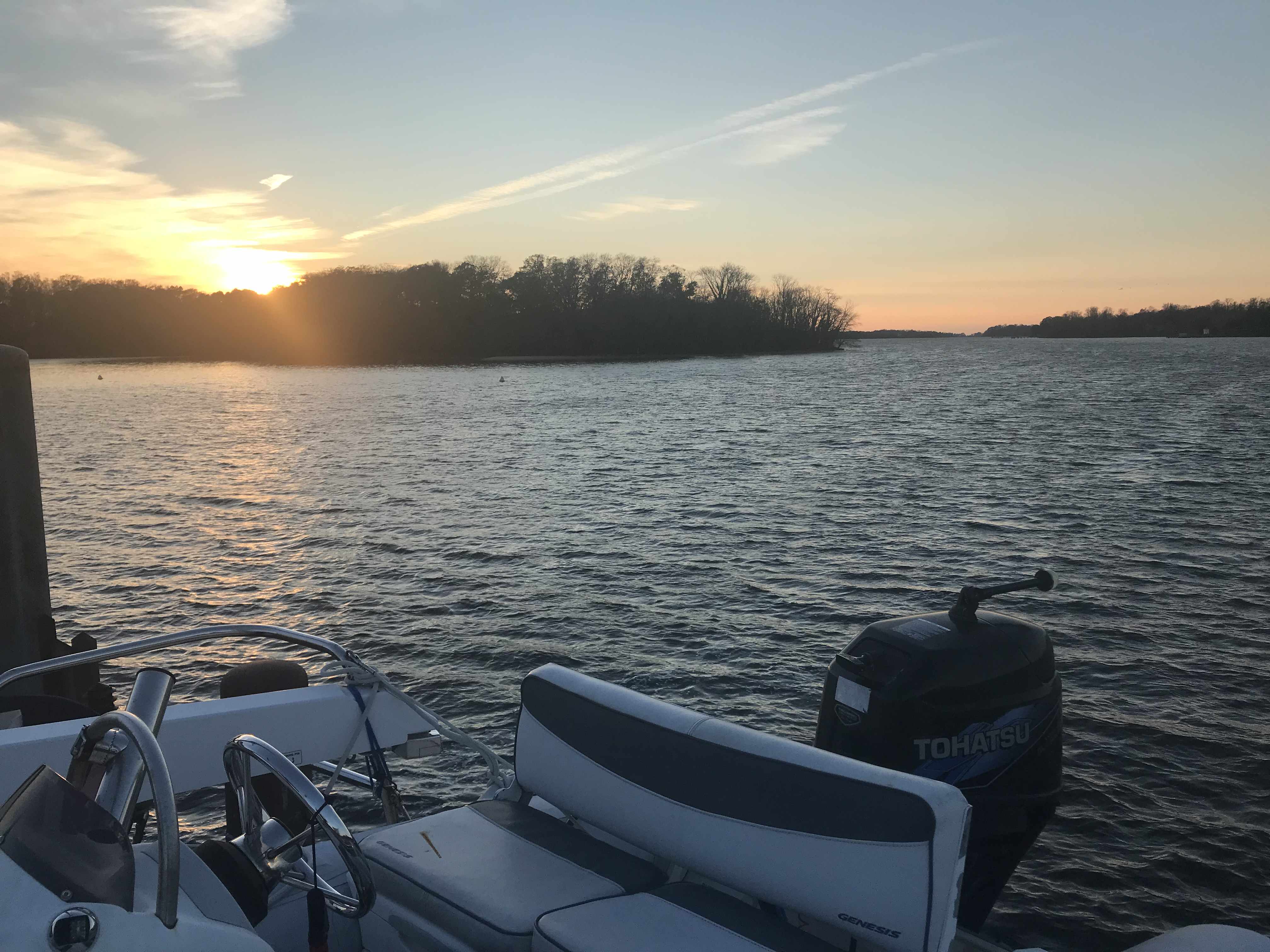
The sun was setting and it was beautiful.

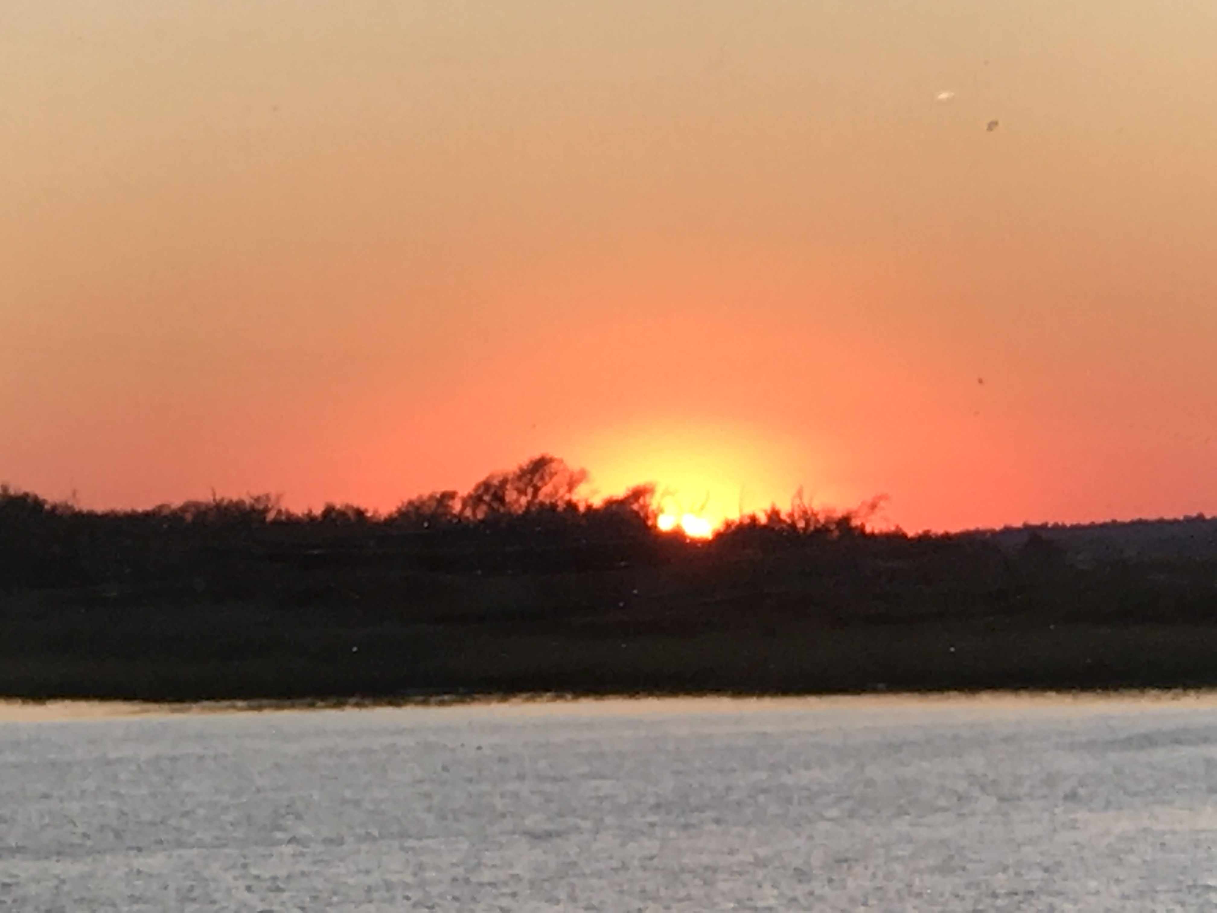
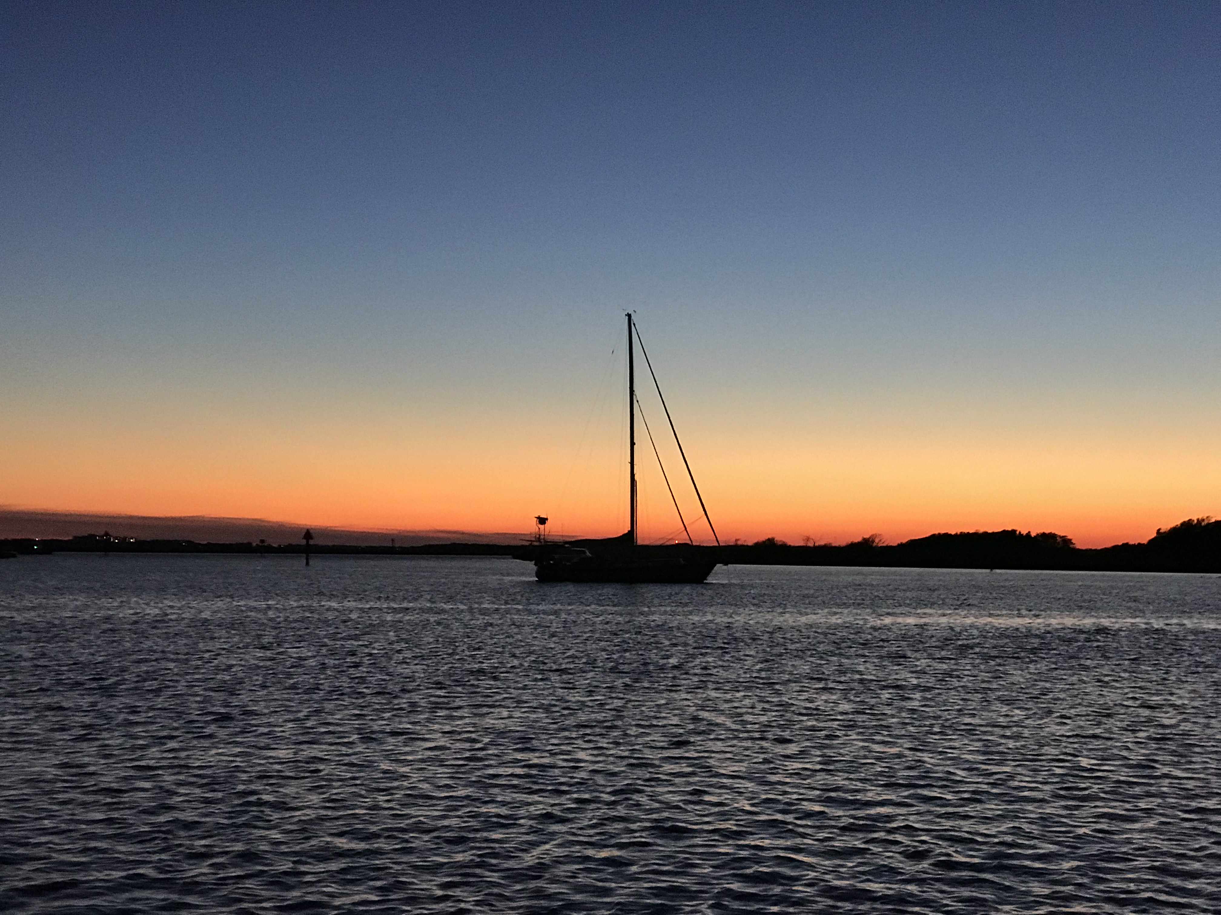
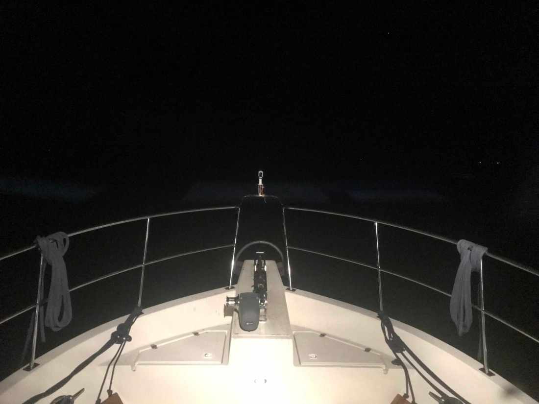
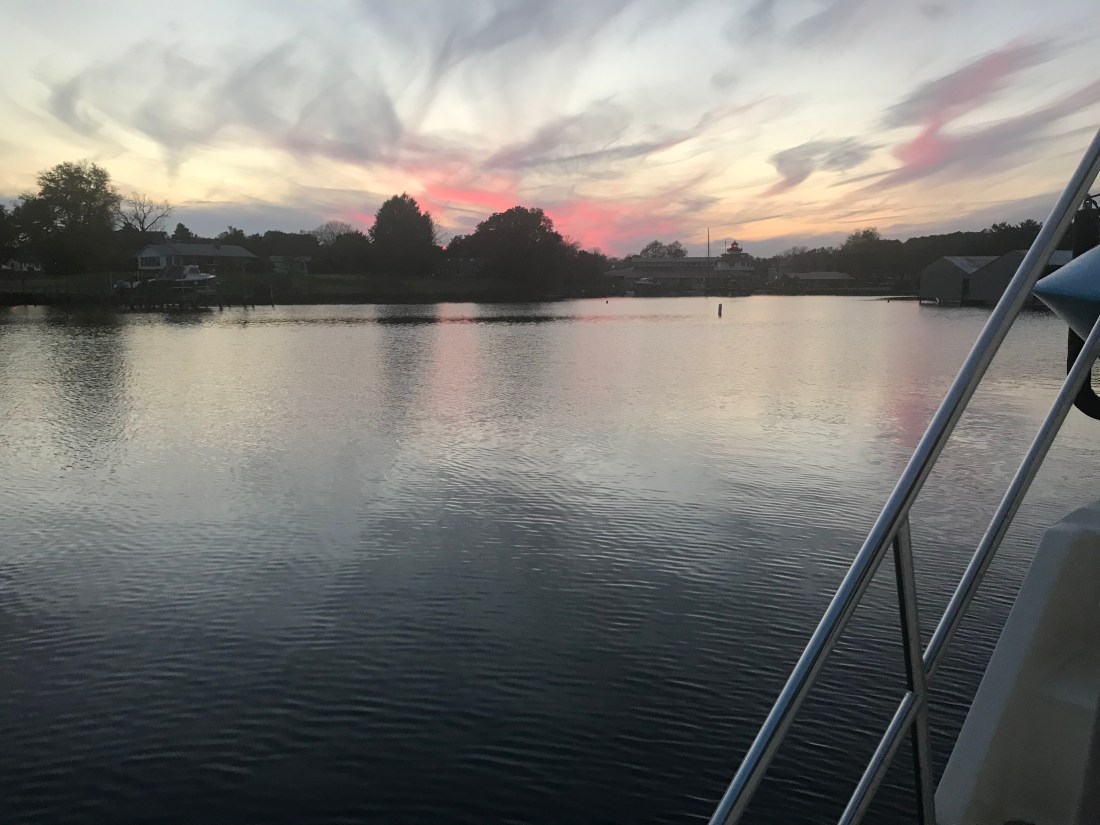
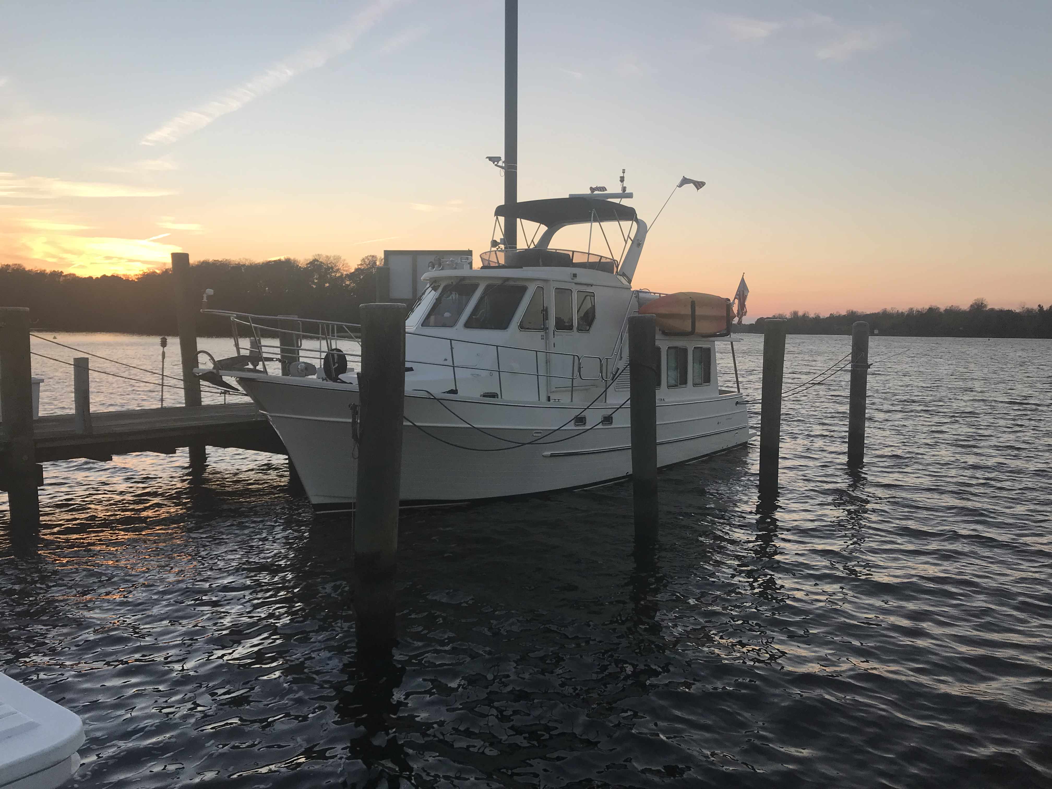
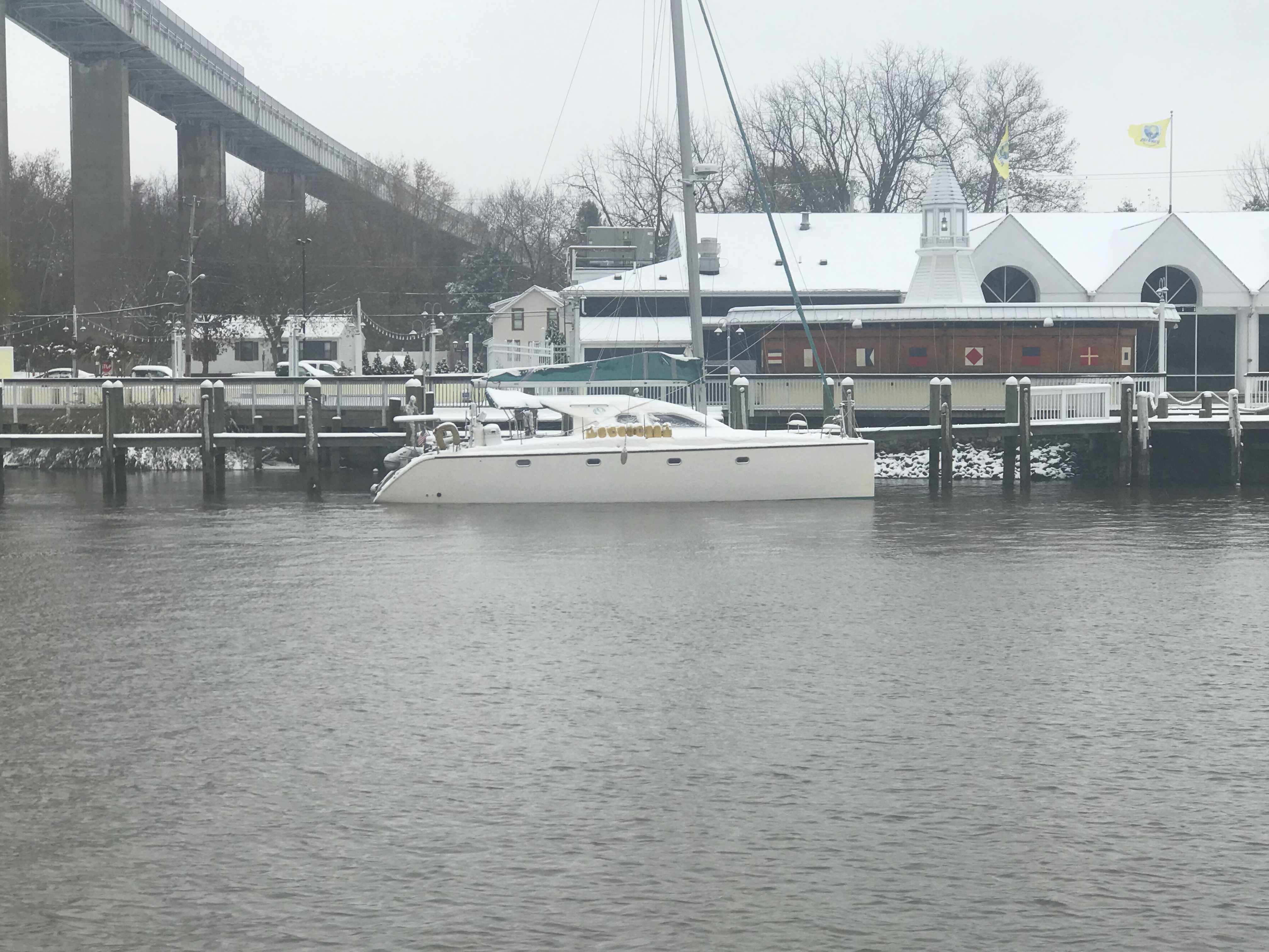
Soon were were anchored for a peaceful night. 

Today’s leg looked something like this

Clawson’s Pub Beaufort NC

Adam’s Creek was a peaceful anchorage. 

At least until this fellow came blasting through..

Once the morning’s parade of boats down Adam’s Creek began, it was time to weigh anchor.

As you make your way down Adam’s Creek you’ll love the beautiful homes and boats along the water’s edge. 

Somewhere along Adam’s Creek it turns into Core Creek where we passed more ICW statute mile markers and a derelict sailboat.

We were aware from the USCG securite warnings broadcasts that there was a 61′ capsized fishing trawler in Core Creek. When I had to dodge floating rope and netting coming down the river, I knew we were close. Then it appeared.

Soon we were heading into an area called the Newport Marshes named after the nearby city of Newport, NC. This area can be a bit tricky as the channel bifurcates and we stay to starboard. I believe there is deeper water to starboard.

For a brief moment we had a motoring sailboat attempt to cross our bow from the port-side. We were on a collision course so I gave them a single blast of our air horns to indicate a one-whistle-pass (meaning port to port like driving a car on the road in the US). They did not alter their course so it was time to blast it again! That did it. They waved as we passed and the rain. The rain covered dodger and a crowded cockpit were probably the reason for the distracted captain. 

Morehead City, NC was next and the clouds were getting dark with rain and even some lightning strikes. 

Near Morehead City NC

We were fast approaching Beaufort Inlet and the strong wind could be felt. Our rearview camera’s view of our flag atop our VHF antennas showed the flag whipping around. 

To get into Beaufort using the East side entrance you need to head like your exiting Beaufort Inlet then turn hard to port after going by Radio Island. We did this as quickly as we could as a large cargo ship was fast approaching. Even the two tugs were joking on the VHF about “giving it all she had” to get out of the way of the large ship. The tug hailed the ship saying… he would have to point his bow directly at the ship but not to worry as he was crabbing his way in the wind and would soon be out of their path. On a boat unlike a car sometimes even though your bow is pointing in one direction, the wind and current can be moving you in a straight line that is not where your bow is pointing. 

Large Cargo Ship Coming in Through Beaufort Inlet, NC

We had timed our arrival into Beaufort at slack current. Last time we were here we docked in a max ebb current and it took all my skill to keep MV Simple Life from crashing into other boats at the docks. A full keel trawler at 90 degrees to a strong current moves down-current quickly. It’s not something that your thrusters can overcome.

We were thankful for our pilothouse as the rain was coming down pretty good at this point.

We passed Moonrakers and some sexy boats tied up in port.

The Beaufort Docks Dockmaster had assigned us a great slip all the way in right next to the restaurant. The docking was a “breeze”, no literally, we simply turned sideways and let the breeze blow us sideways into the dock. Worked beautifully and Kelly was soon tossing our stern line to the dockhand. 

Once in our slip we quickly jumped ashore and walked the docks. 

I almost forgot there was one casualty along this trip and it was my slippers. Kelly demanded that my stinky slippers stay in Beaufort, NC. I will miss my favorite slippers but our boat and crew would thank me for giving them up. 

I’ll Miss You, Comfy Slippers 

I checked in at the dockhouse, paid the bill, got the WiFi password and two beer tokens! My favorite part is taking those wooden tokens straight to the sailor bar at the Dock House and enjoying a well-deserved beer. We were sharing dog pics with Shelby, our bartender. She showed us pics of her 3 new hunting hounds that her dad had given to her. 

After a quick couple beers it was time to find something to eat at Clawson’s Restaurant & Pub. 

Good Food – All Smiles

Clawson’s bartender, Kayla set me up with a great Hazy NE IPA and life was great.

The bar itself dates back to 1905 and Kayla was entertaining us with ghost stories about the ghost-like little girl on the third floor. She offered to take us up to the 3rd floor to look for her but we chickened out 😉

We are thrilled to spend two nights in Beaufort, NC.

Our leg here looked something like this…

Miss Dixie

We awoke this morning around 5AM. Still dark, our Adams Creek Anchorage was flat calm. I snapped a photo in time to catch both the red buoy & green can illuminated.

5AM Adam’s Creek

We stopped here in Adam’s Creek about 20 NM short of Beaufort, NC. It was a nice 60 degree day and the Patriots game was about to start @1PM. GO PATS!

However, let me take you back to how yesterday started. We weighed anchor in Campbell Creek and made our way @5kts out the 8 ft shallows.

Exiting Campbell Creek

We were a headin’ for the “Dog Ear”. That’s not an official term but if you look at the bathymetric charts long enough you’ll see it in the depth contour line.

A dog’s ear?

We had slipped past a still sleeping Canadian sailboat who was properly displaying the US flag above their homeland flag while in our waters.

We were back in Goose Creek and heading South past the USCG station and RE Mayo Seafood with their docks full of shrimp boats and ‘snowbirds’ as we ICW Travellers are often called.

USCG Station Hobucken

Shrimp Boats

RE Mayo Seafood & Docks

Soon we were turning to port to enter Adam’s Creek where we would drop anchor just feet off the ICW. We sat in the pilothouse watching the parade of boats heading South go by.

The Verizon cell service is 3G (not the faster LTE) so it would be like the internet of the 80’s.

We setup the OTA (Over The Air) TV antenna with hopes of getting the Patriots game in HD. However, North Carolina was only giving us Gospel TV and the PBS “Remembering Miss Dixie” bluegrass tribute concert.

PBS Remembering Miss Dixie tribute concert

Miss Dixie Hall was a prolific song writer who wrote more bluegrass songs than anyone else, some 500 songs. Many sung by country hit-makers from Johnny Cash to Miranda Lambert.

Miss Dixie and her husband Tom Hall

Miss Dixie will be remembered as a kind soul who devoted her life to animal rights as much as bluegrass music.

Yesterday’s short leg looked something like this.

W02L012

Goose Creek NC

Beaufort, NC in two days requires an early departure. 6:19AM to be exact.

Departing our Anchoring Location off Durant Island, NC

Planning is a big part of cruising. It starts by thinking where you would like to get to. Then you check the weather, wind speed & direction, marine forecast, sea state, etc. If the weather is bad than you must consult the crew (wife / admiral ) and get their opinion on whether to go or stay put. If you skip this step you could find yourselves in marriage counseling.

Once you know where you want to go you must ask… “How long will this take at cruising speed?”. Slower cruising speed = better MPG = $. We conservatively plan 50 NM / day if we use the 10 hours of light that late November gives us. If we want to cover 70 or even 100 NM than we’ll have to run long into the night. Here you must know your limits. After 12 hours at the helm you may find yourself coming into an unfamiliar inlet or harbor on an inky dark, moonless night with wind & waves and other hazards. (See warning above about counseling).

I find that using every charting and weather app on your phone, tablet while underway to constantly revise your plan works best. Advise your crew that “the next two hours will be a lumpy ride but soon we’ll be enjoying a drink in a peaceful anchorage for the night”.

The Alligator River Swing bridge crosses the broad mouth of the Alligator River. It must be fun driving over this long bridge that is only 20 feet or so above the River.

We had to keep to starboard as our radar showed many faster yachts coming up behind us. They would zoom on by and we’d have to do a quick 90 degree turn to cut their wake or get rocked.

When you reach the Southern end of the Alligator River you enter a 20 mile long canal that was cut through the land with a laser gun. OK maybe it just looks-like the ACE (Army Corp of Engineers) used a laser gun? It’s so straight we barely need to adjust the autopilot heading.

Alligator River – Pungo River Canal

While you are keeping an eye out for hazards like tree stumps and deadheads (trees snapped off at or near water surface), you’ll pass ICW Statute Mile markets reminding you that you have a long way to go.

There is land for sale along the canal.

For SALE

Perfect if you like duck hunting like this hunter we passes who was picking up his duck decoys.

Decoy Ducks

Moving over for oncoming or passing traffic must be done carefully as outside the center of the canal you’ll run into shoals, stumps and other hazards.

I Don’t Think We Can Keep Up

When you see a bridge like the one in the picture above you quickly grab your phone and check for a cell signal. Yup, you’ll have a signal for maybe the next mile.

It was cold and rainy but warm inside our pilothouse.

We knew from checking the wind speed & direction that when we exited the Pungo River it would be lumpy.

Soon we were tucking into Goose Creek and then again into Campbell Creek to avoid the weather. Anchored tight to the tree-lined shore in Campbell Creek we found respite from the weather.

Anchored in Campbell Creek

Saturday’s leg looked something like this.

W02L011 – Winter 02, Leg 11

The cell signal in here is either weak or just non-existent.

Night Crossing of Albemarle Sound

We spent Thanksgiving at Top Rack Marian. Kelly used InstaCart grocery delivery service to order everything that she needed and whipped up an amazing turkey dinner. This woman has skills :-).

We left Top Rack Marina after sharing an amazing Thanksgiving aboard. However, the temps were dipping into the 30’s at night and we needed to go South as fast as possible. 

a mile or two South down the ICW is the Great Bridge Lock. The water level only drops 2-3 ft so it’s pretty gentle as far as river locks go. However, the ICW (InterCoastal Waterway) is a federal commerce waterway and that means that it’s there for commercial boats first and pleasure boaters second. We had a stand aside while the lock tender let this huge tug and barge in ahead of us.

Tug & Barge

They asked us if we felt comfortable trying to squeeze past the tug n barge to get ahead of it in the lock. Challenge accepted. 

Thread the Needle

Soon the gates were swinging open.

Great Bridge Lock, ICW in VA

We saw lots of Canadians looking for a warmer winter

Canadians

We passed through the Centerville Turnpike Swing Bridge

Centerville Turnpike Swing Bridge

Then it was through the “normally open except for when a train is a coming” bridge.

If a train comes and it starts a lower.. push the throttle to the pins 😉

Not long after that we were passing Coinjock Marina in NC. This is normally our stopping point for the night but the winds were going to increase early in the AM so we decided to anchor just before our Albemarle Sound crossing. On our way to our anchorage we heard a sailboat on the VHF hailing TowBoatUS to come pull them out of the shallows. It was 1.5 hours before low tide so it was only going to get worse. 

This boat had wandered outside of the narrow channel and run aground

Soon we were passing ICW mile markers 55 & 65 and approaching our anchorage for the night.

I did one last check to see if the weather forecast had changed and … it had.

The strong winds were going to come before sunrise so Kelly & I decided do a nighttime crossing of Albemarle sound and anchor in the Alligator River rather than have a lumpy crossing in the AM.

Just before the sun went down we snapped one more photo.

The full moon came up but we were not running into it but away from it. I always prefer to run down the moonstreak as it helps me spot crap pot floats before we run them over and wrap the line around our propeller. 

Full Moon

The crossing was a bit lumpy but we picked a spot to anchor behind Durant Island that would give us a lee shore. Tonight we will sleep well and get plan for a sunrise departure before the wind starts to whip in the AM.

Anchored Behind Durant Island (red marker)

Today’s leg was 70 NM from Chesapeake, VA to Durant Island, NC. This year we agreed to throttle-back to somewhere in the 6 knot range and stay in the 3 NM / gallon diesel range. We conservatively plan to make 50 NM / day. That’s 10 hours of daylight x 6 kts minus time weighing / dropping anchor and waiting for bridges to open.

Apple Maps Screen Capture with Finger Drawn Route – A Close Approximation

Slipping into Venus

The sunset before we went to bed was beautiful in Godfrey Bay

Sunrise in Godfrey Bay, VA

We had woken up at 4AM and decided to get underway. It was pitch black but I wanted to arrive at Top Rack Marina before they closed without having to burn more than 2.5 gals/hour.  So as we twisted and turned our way out of the Piankatank River we had to rely on the lighted buoys and cans. Recall that buoys or “nuns” are red, even numbered and have pointy “nun hat” tops, cans are green cylinders with odd numbers and flat tops. 

MV Simple Life in the center passed Red lighted beacon #8 and approaching Green lighted beacon #7
Directly above the red beacon light you can see Venus. I think the halo effect making it look even bigger in the photo

As we headed East the planet Venus was brilliantly lit up and acting as a perfect aiming target to stay on course. We were slipping our way past shoals and straight into Venus.

At times I would run with the searchlight lit to attempt to view and steer around crab pots and unlit fish weirs. This is the hazard of running at night that you can wrap a crab pot line around your propeller or become ensnared in a fish weir. 

I have a project to install LED lights under the bow to light crab pots without reflecting off the foredeck

Two hours passed and first light was upon us. Sunrise was a coming…

Danger Area… If you go to lower zoom levels to see what chart note is attached to the Danger Area you only get an annoying note that says to read NOAA’s US Coast Pilot Vol #3. That’s not very helpful as I used to keep all the Coast Pilot books printed and stored aboard but I found that I was using the online versions linked above.

Danger Area, Why? Have to look in the US Coast Pilot Vol #2

Coast Pilot is a FREE, online pdf, navigation book published by NOAA.

It’s a lot like the Maptech Embassy or Waterway Guide books that I used when I first started boating. 

The trip down to the mouth of the Chesapeake Bay was easy smooth going.

However, as we approached the inlet to Norfolk, VA the current was quickly ebbing.

Soon we were surrounded by military gun boats and helicopters buzzing overhead. On the VHF you can hear Virginia Pilots calling ships preparing to enter the harbor. They are landing on a cargo ship via helicopter for inspection of the vessel. All hatches must be open except the one the helicopter is landing on. Specific instructions were given not to have crew approach the helicopter on landing. 

Warships were everywhere to see in port but we let those boys do their work and stay clear of them. 

If you click on any of the AIS targets they come up as “military” or “US Govt”

The shipyard has some amazing mega-sized structures.

it’s looks like it climbed onto the building

As you proceed further down the Elizabeth River you are reminded that much of what’s on the shore is off-limits to anyone other than the US Government and military. 

At one point in our journey down the channel I noticed that the gigantic MSC Silvana container ship had black diesel smoke coming out of it’s stack. OMG. it’s underway and blocking the entire channel!

We had to get out of the channel to get past her

Soon we were passing this lifeboat that looked like it had lost it’s ship. These fellows were just riding around in the life boat. Maybe they are on shore leave and wanted find a restaurant 😉 


I Totally WANT one of these

I just think these are the coolest. I’m jealous of this woman getting to launch one of these free-fall lifeboats. 

How cool is she?

Soon we made our way to Top Rack Marina.

We love this stop for several reasons. 

  1. Amber Lantern Restaurant
  2. Great fuel prices
    1. $2.74/gal Diesel – we took on 306 gallons.
  3. Great slip prices
    1. $35/night any length boat (includes power)

People often ask us how cheap can you live aboard? It’s a great question and the answer is “it depends”. It depends on the life-style you want to live. Sometimes we hit marinas and restaurants every day and money seems to disappear. However, other times we spend cruising on anchor every night and spend nothing but diesel. We left Warwick, RI on Sunday, Nov 11th at around 3PM. It’s now 10 days later, Nov 21st we are at Top Rack Marina in Chesapeake, VA. Being a fan of science I believe people would rather see a data-driven answer where they can draw their own conclusion. If we “Do the Math”.

  1. We have completed 9 legs of our journey over 10 days.
  2. We put 89 Hours on the diesel
  3. 86 hours / 8 legs = 10.75 hours a leg. (skipping the first short 3 hour day)
  4. 10 hours on the genset (4 because I forgot to shut it off while underway)
  5. $242 on 2 nights dinner & drinks (I don’t recall getting back to the boat on 1 of them)
  6. 306 Gallons of diesel (main engine, genset & forced-hot-air diesel heat)
  7. $838 on diesel
  8. $150 for 3 nights at marinas

I hope that sheds some light on budget.

Our 9th leg looked something like this…

Apple Maps screen capture with hand-drawn finger route

Godfrey Bay Before Sunset

We weighed anchor just before sunrise.

Zahniser’s Yachting Center

Put our running lights on.

Starboard Side Looking Aft

Radar pings from the numerous boats lining the docks.

Radar targets in magenta

Soon we were making our way out into Chesapeake Bay.

Up Came the Sun

We did not see many boats out in the bay but we did pass this sailboat under-tow. I’m thinking the rudder must be broken or they’d be using that sail.

Sailboat Under Tow

Our leg today

Solomon’s Island

We awoke to realize the sun was already up and rising above the Navy bridge we anchored behind.

There was one other sailboat on a mooring ball in front of a home and some great foliage.

When we arrived in Annapolis we anchored right next to a brand new UUS Sioux City (LCS 11) Navy warship.

The future USS Sioux City (LCS 11), a Freedom-class Littoral Combat Ship, will be commissioned a United States Ship (USS) on November 17, 2018 in Annapolis, Maryland. More than 5,000 people are expected to attend the commissioning ceremony at the United States Naval Academy….

The patrol boat was actively keeping any boats from getting close but we were able to snap this photo on our way past.

The trip down to Solomon’s Island was smooth and we came in and around the triangular island before finding a spot to drop anchor.

A nice view of a pink sky off to starboard.

Time to watch some football on the iPad.

Today’s leg looked like this.

Anchored in Annapolis

Well sadly Old Glory did not survive the strong winds we went through getting up Delaware Bay. I was thinking of retiring it before the storm made my decision for me.

We had to retire Old Glory after the storm tore it up

We enjoyed our two night stay at the Granary Marina in Fredericksburg, MD. 

MV Simple Life was safely tied in her slip

MV Simple Life  at Granary Marina

The marina was empty as it was mid-November. 

Granary Marina Empty in Mid-November

The sun was setting on the Sassafras River so that meant it was Happy Hour @ the Granary Restaurant.

It was a cold walk and Kelly was telling me to hurry it up. Restaurant has a great outer deck overlooking the marina & river.

I loved that someone bolted an old dead tree to the top of a marina piling and put an eagle’s nest on top.


Rather than getting underway before sunrise we slept in and took our time leaving.

Soon we were making our way down the sinuous 10 mile stretch of the Sassafras river to the Chesapeake Bay. 

Beautiful Home on the Sassafras River

When we came in the river at night we had to dodge these fish weirs that extend out from the banks. Easy to spot this morning…

I wonder how well these weirs work?

Heading down the Chesapeake we passed a huge car carrier called the Triton Leader. 

The dogs were happy that today’s leg of our journey was calm and flat. 

Soon we were passing under the famous Chesapeake Bay Bridge.

two bridges side by side

Soon we were anchored behind the Navy Bridge. We had the whole anchorage to ourselves.

W02L006 (Leg 6 of our second winter living aboard) looked something like this. 

W02L006

Gale Warnings, Snow, Sleet and a Beam Sea

We anchored in Cape May at night and the wind was whipping. We tried to tuck in behind the Cape May canal Jetty to get some protection but alas the boat was a rocking. 

I finally had to get out of bed, weigh the anchor and re-drop as close as I could get to the jetty. It worked. Well it worked a little. We did not sleep much. 

Next morning we left before sunrise because I just was not sleeping anyway. The gale warning winds were nipping at our heels as we worked our way North up Delaware Bay.

The blue dot is MV Simple Life and the red-purple are 30-40 MPH winds

A quick check on the weather back in Warwick, RI showed it was even colder than what we were feeling in Delaware Bay.

Warwick, RI Nov 15th Temps

The water in Delaware Bay was cold. Not something you want to fall overboard into. 

Delaware Bay Sea Temp

Traffic was hard to find. This Chiquita banana container ship passed us as we slipped out of the channel to give her space. I think only 2 other boats passed us on this gusty, snowy, foggy day. 

Container ship passing us in Delaware Bay

As we made our way up Delaware Bay the wind and waves were on our beam. The wind alone was giving us quite a list to port. A beam sea is never fun in a flybridge trawler with a 400lb dingy and two kayaks on the flydeck. eek.

Delaware Bay Early in the AM

Soon we could hear the sleet bouncing off the outside of the boat.

Then came the snow…

Why didn’t I bring a snow brush on this Bahamas trip?

The snow brought with it FOG.

Fog starting to close in around us

As the fog crept in on us it was time to turn on our Khalenberg automatic fog horn. If you are ever near MV Simple Life in the fog you’d think a giant tanker was bearing down on you. What made me laugh was… it stopped working in the freezing snow. With each blow of the horn it iced up more and more until it just stopped working.

Wind on the beam, Fog closed in around the boat Fog Horn wasn’t frozen yet.

Once the Fog horn froze up and stopped working it was time to go to my backup fog horn. Yes, my VHF’s loud hailer fog horn played but in the wind and snow I’m sure nobody was hearing it. Heck, there wasn’t another boat out on this day anyway. 

Function + 8 plays the ICOM VHF fog horn

The fog had closed in so tight to the boat that we could only see a single boat length in any direction. Thankfully, we have a 4′ open array Digital HD radar with overlay right on our chart plotter that helps us identify boats from buoys. We also rely heavily on AIS (Marine Automated Identification System) to make sure we show up on the chart plotters of other boats as well as us having all the details about the boats around us (boat name, course, speed, MMSI#, etc.

We soldiered on with the idea that once we made it into the C&D canal that the weather conditions would improve. They did!

The visibility returned and the winds and waves were held at bay by the high canal hill sides. 

Soon we were passing marinas where the boats were covered in snow. 

Snowy Catamaran

When we exited the C&D canal into the head of the Chesapeake Bay the wind was whipping up a following sea so we decided to anchor in the Bohemia River. Great plan until the depth alarms went wild when the depth dipped below 6 feet. This was not good concidering we were only minutes away from high tide. Not wanting to run aground or get stuck waiting for high-tide to return we decided to push on further to the Sassafras River.  

The sun set and we watched as the last light disappeared as we entered the Sassafras River. It’s a long trip up the river to the Granary Marina but we decided with the strong winds and rain it would be nice to sleep tied to a dock. Neither of us wanted to spend another night trying to brace ourselves in the bunk. 

The dockmaster left for the night and left us directions on how to find our assigned slip. That plan failed when we could not find our slip using our searchlight. The wind and the rain were coming down sideways and driving from the pilothouse in the dark is not a place you want to be poking down random fairways trying to find a slip. So we decided to grab any open slip and call it a night. 

Docking alone in that wind was difficult enough but when I jumped out of the pilothouse to tie up I almost slipped on the snow and wound up going swimming. 

My boat hook was buried in snow

Soon we were tied up and I was changing out of my work pajamas, kicking my snow filled crocs off my frozen feet and thawing my toes by the heater while enjoying a well-deserved IPA

After 13 hours at the helm, this IPA tastes great 😉

This leg of our trip is pictured below.

Winter Season #2, Leg 005