
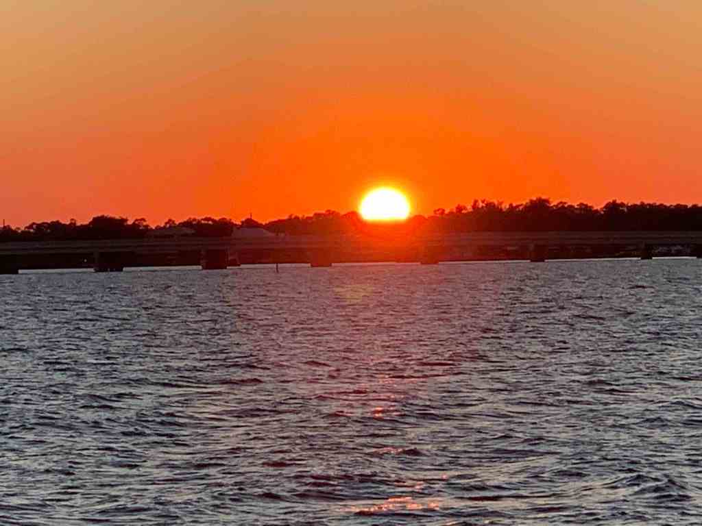
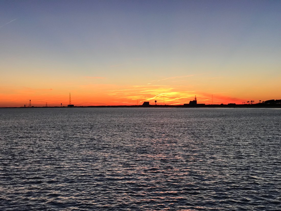
When the sun arose the next morning it treated us to an orange sunrise over Mosquito Lagoon.
“Because the sun is low on the horizon, sunlight passes through more air at sunset and sunrise than during the day, when the sun is higher in the sky. More atmosphere means more molecules to scatter the violet and blue light away from your eyes. … This is why sunsets are often yellow, orange, and red.”
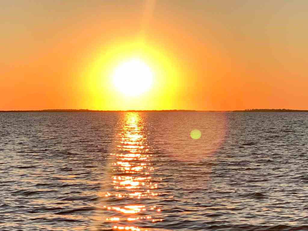
Sun popped up 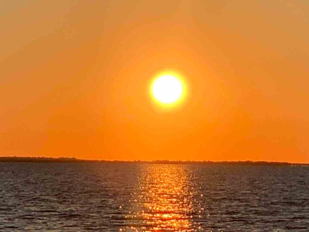
Orange Glow
Going under the Cocoa bridge – Look up & around and you’ll find workers trying to get right with the world again.
…”The Cocoa Bridge gives male inmates an opportunity to get their lives back on track. The foundation of the program is the Therapeutic Community Concepts, which are essential to maintaining a drug-free lifestyle in social contexts. With clinical supervision, this peer-led, peer-driven environment encourages the men to become active participants in their recovery.”
Bridges of America, Inc.

…”The NASA RR bridge is normally left in the open position, except in the case of approaching rail traffic (infrequent). This bridge is the main thoroughfare for shuttling heavy equipment and supplies to and from the JFK Space Center. Spent solid rocket boosters, rocket frames and other various material for the space program are normally shipped on rail and pass over this bridge.”
ActiveCaptain.com
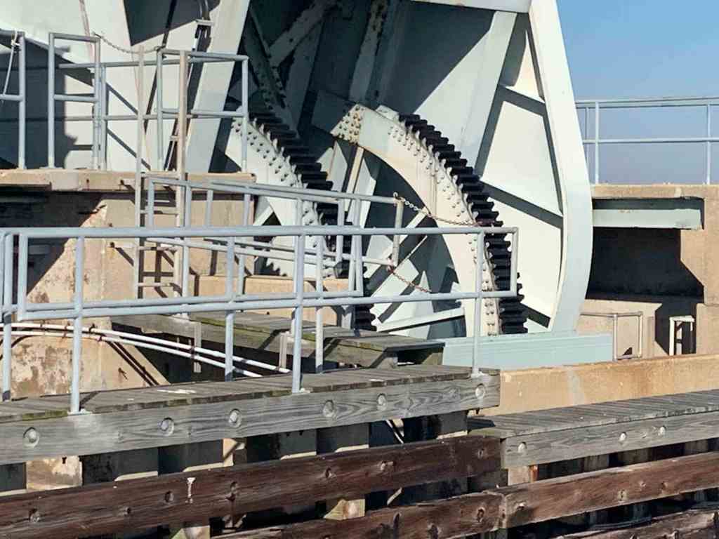
Titusville RR Bridge Mechanism 
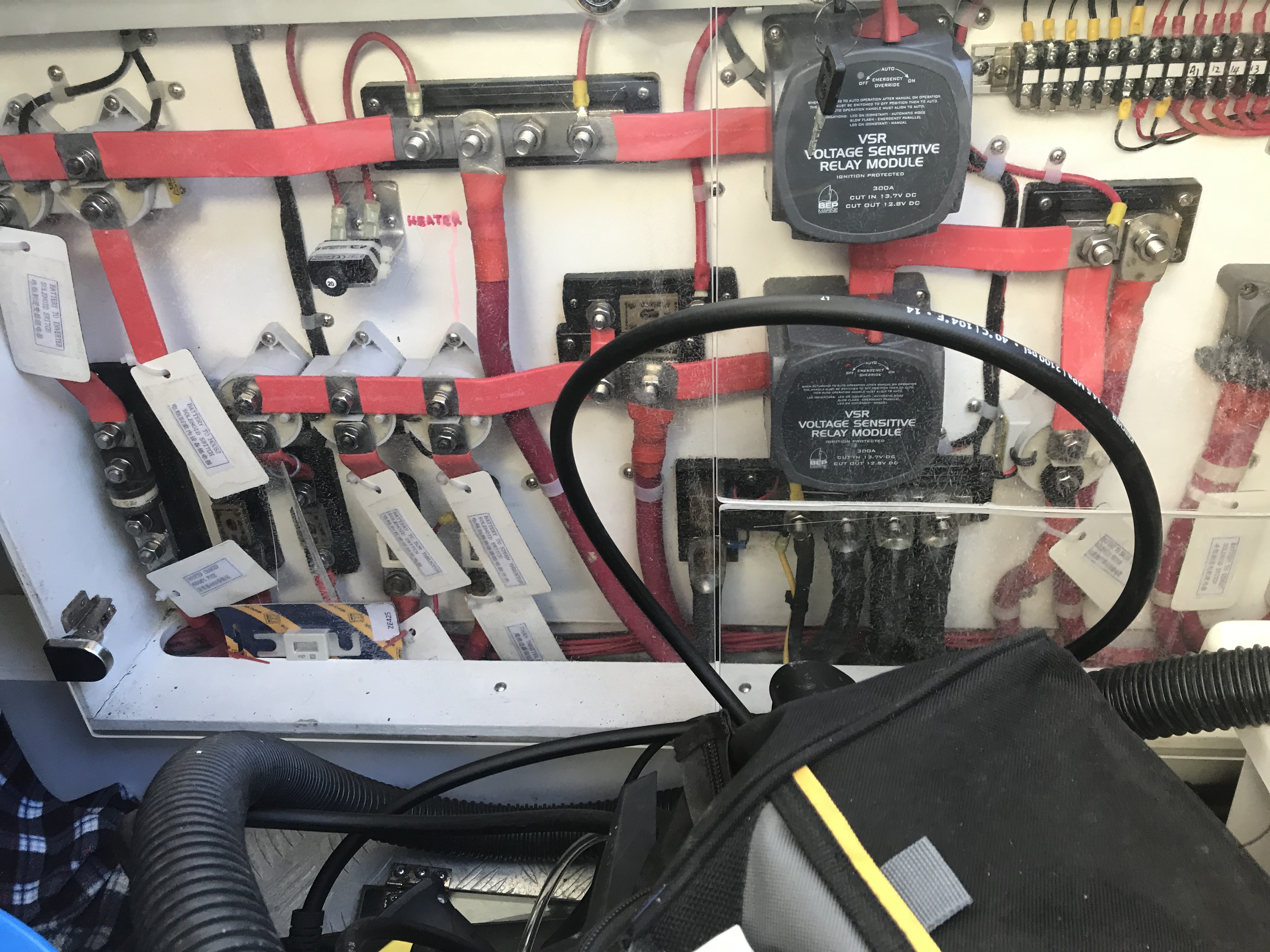
This boat has a super bright light bar atop of it’s hardtop. Heck it was not even that dark out and that light bar was blinding when they were coming straight at us for a moment. I like the idea of having more lights on MV Simple Life. There are some nights when traveling in the pitch black that it would be a big help. I tend to only put my searchlight on for brief moments to not affect my night vision. Maybe I’ll install something smaller under the bow pulpit for lighting the crab/lobster pots at night without destroying my night vision?

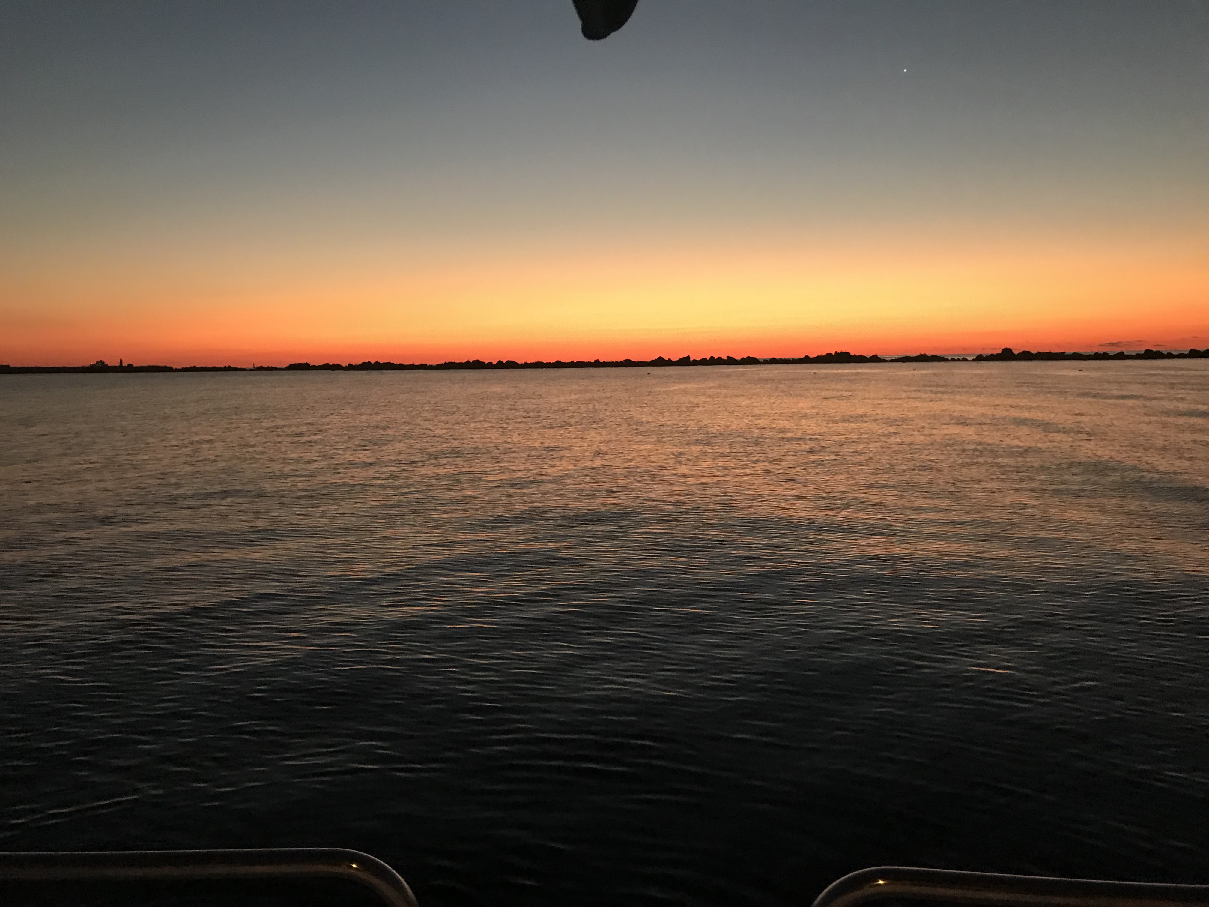
I just love sunsets & stars every night on the boat. Too bad I can’t photograph or video the latter.
Sunset in Sabastian FL 
Time to Start Fishing off the Stern
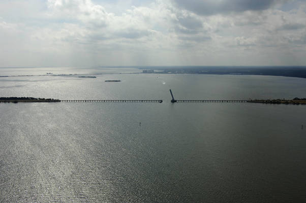
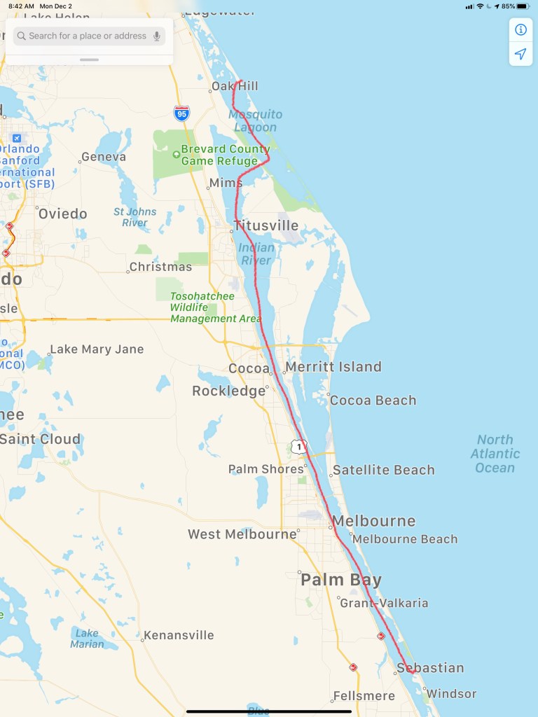
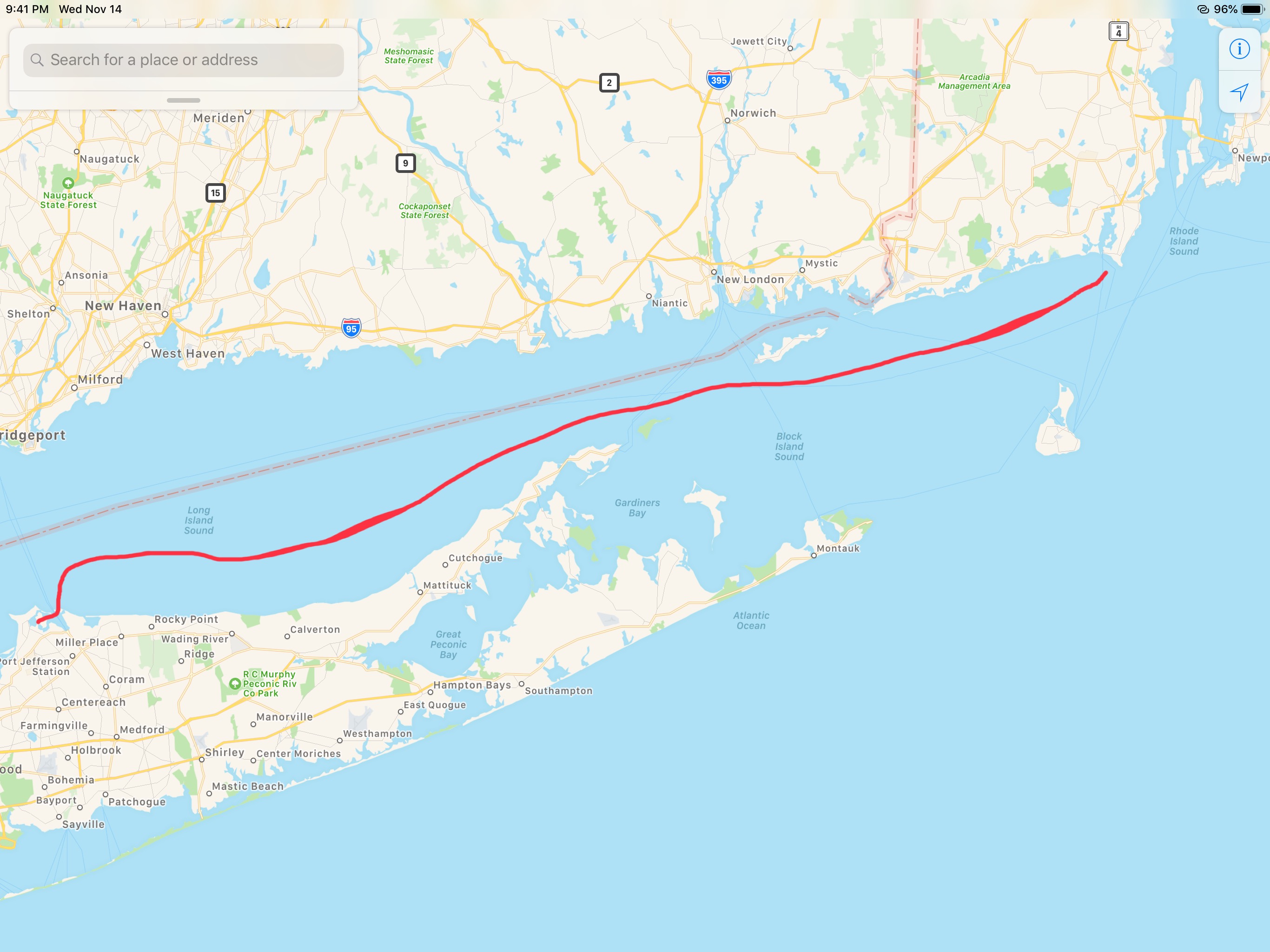
Our day’s journey took us from Mosquito Lagoon to Sebastion, FL.
Sebastian has a great live music scene. With visiting bands like, Mumford and Son’s and Joe Bonamassa. If we were not trying to get somewhere near an airport, we’d definitely have gone ashore for some live music.
Instead, we spent the night on anchor just inside of Sebastian inlet near coconut point.
…”Sebastian Inlet is 36.5 miles southward of Cape Canaveral Light. In May 1983, there was a reported controlling depth of 5 feet. It is further reported that the velocity of the tidal currents reaches 10 knots, and turbulence exists between the bridge and the end of the jetties. Anchoring east of the bridge is extremely hazardous, particularly by the stern. Except during flat calms, breaking and confused seas exist off the mouth of the inlet and inside the inlet as far as the bridge. Conditions worsen with increasing seas or winds and on an ebb tide. Small boats departing the inlet on a flood or slack tide can find it impossible to return on an ebb tide.”
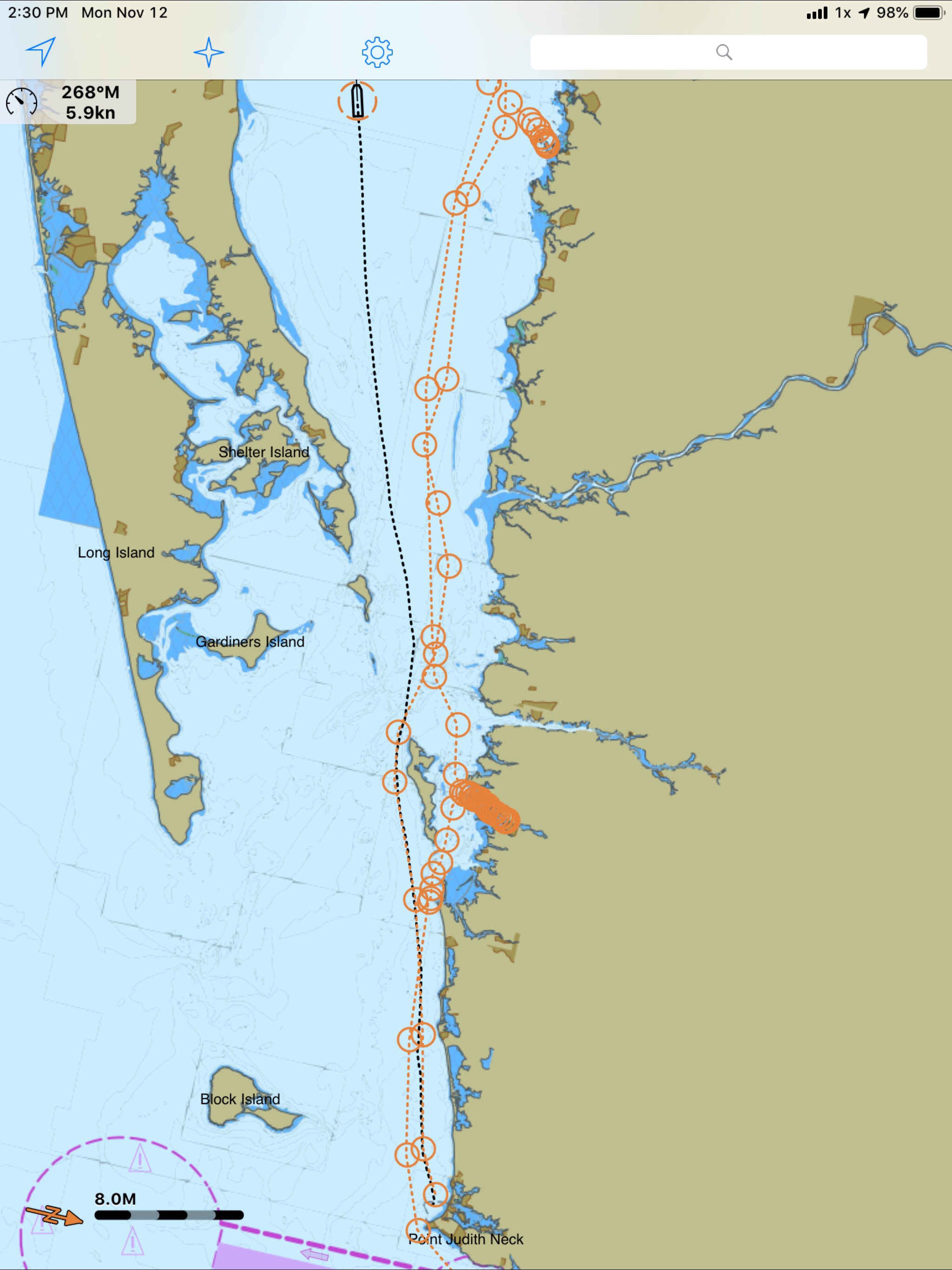
By the morning, we had spun around with the Sebastian Inlet’s incoming and outgoing tide


You must be logged in to post a comment.