Alligator River – Pungo River Canal

We departed Elizabeth City and I thought to myself… I’ll be back.

Terminator is leaving Elizabeth City, NC

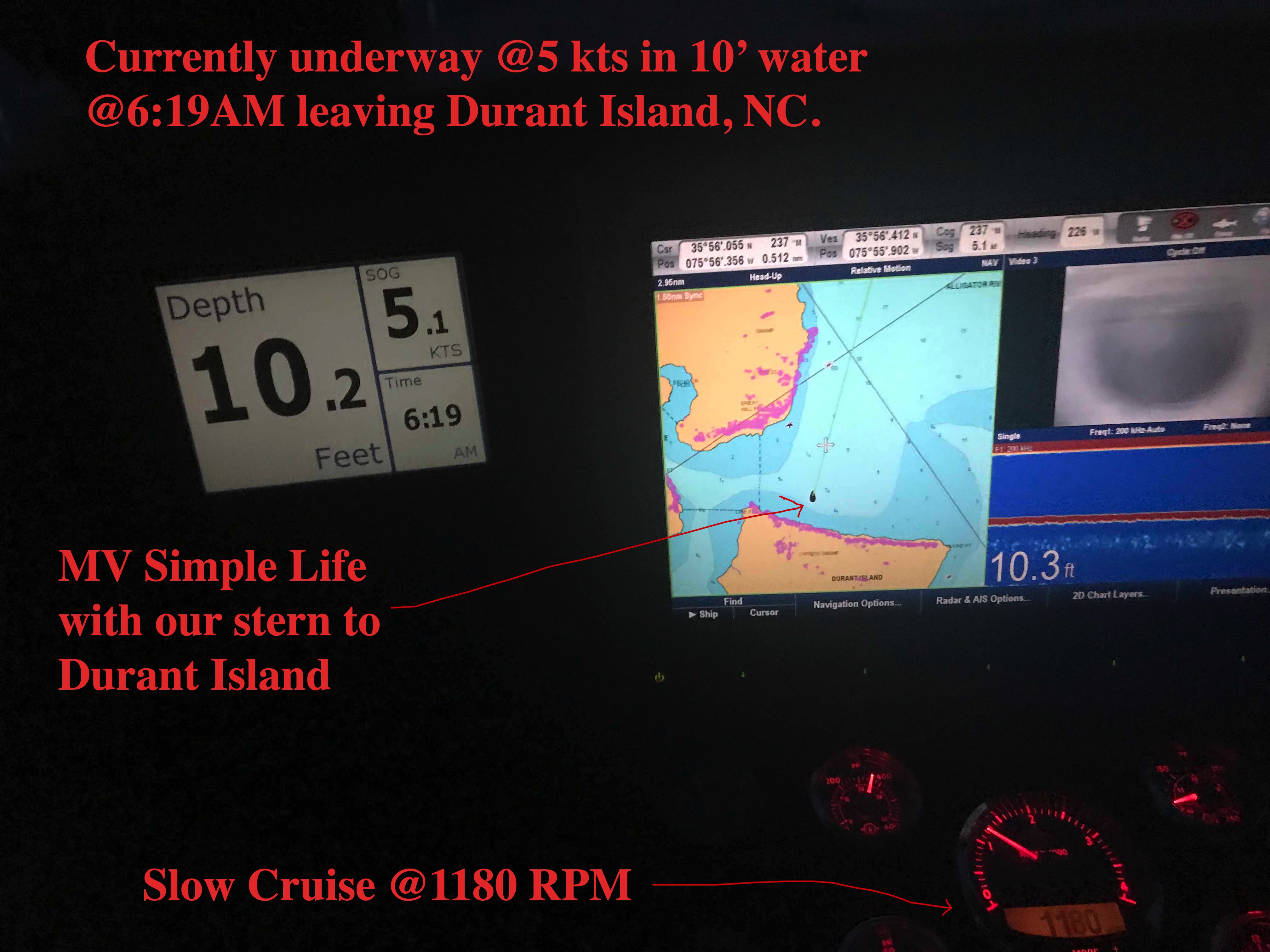
We wanted to get ahead of the weather that was coming in two days. When you cruise on a slow boat, how far you get depends on how early and late you run. There is no “just crank up the throttle and double the distance”. That meant we were making breakfast while underway.

Captains Favorite Hash, Eggs & Bacon

The cruise down the Pasquotank River was peaceful.

Pasquotank River Sunrise

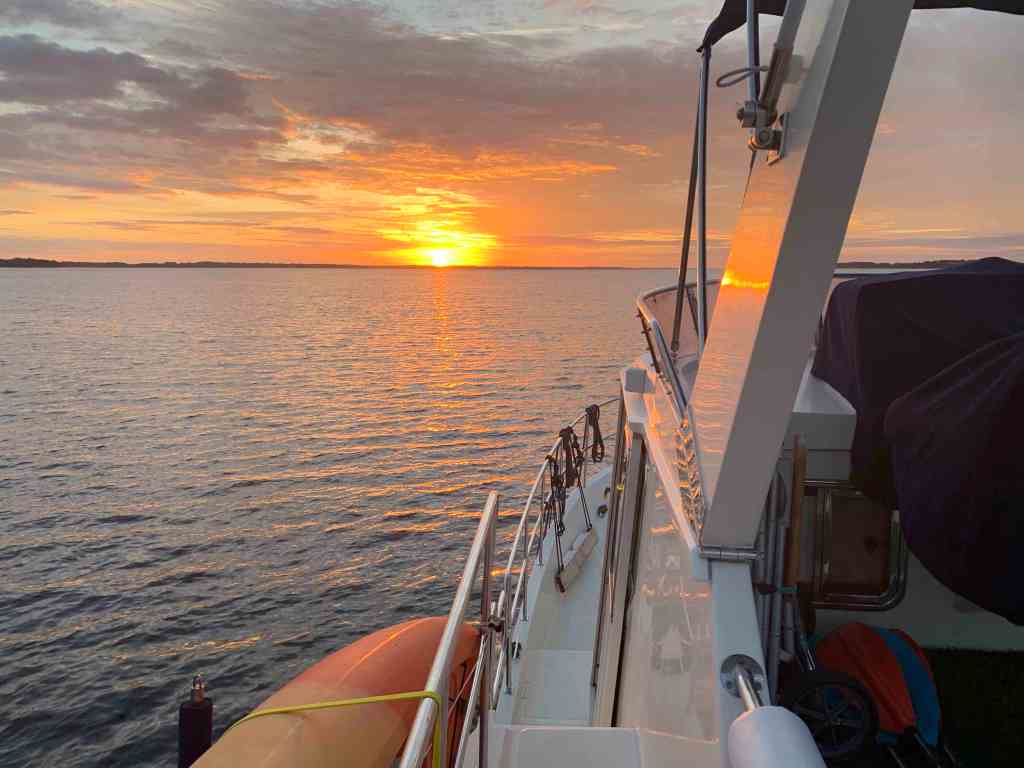
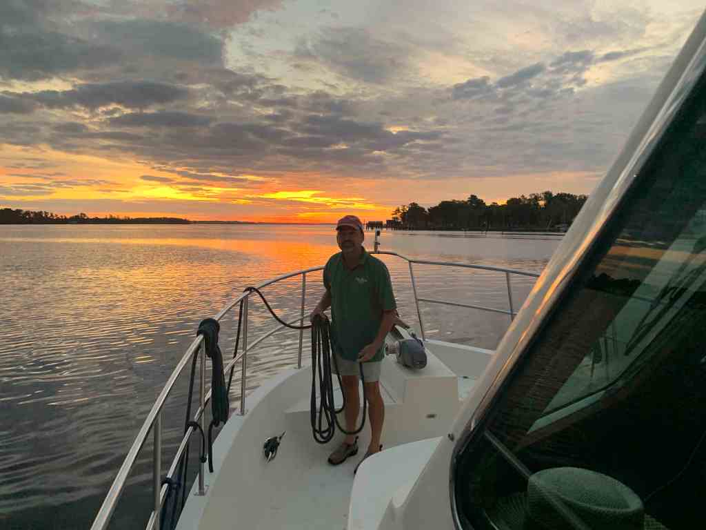
Buddy was working on the bow and the seas were flat.

Buddy Neatening our Lines on the Bow

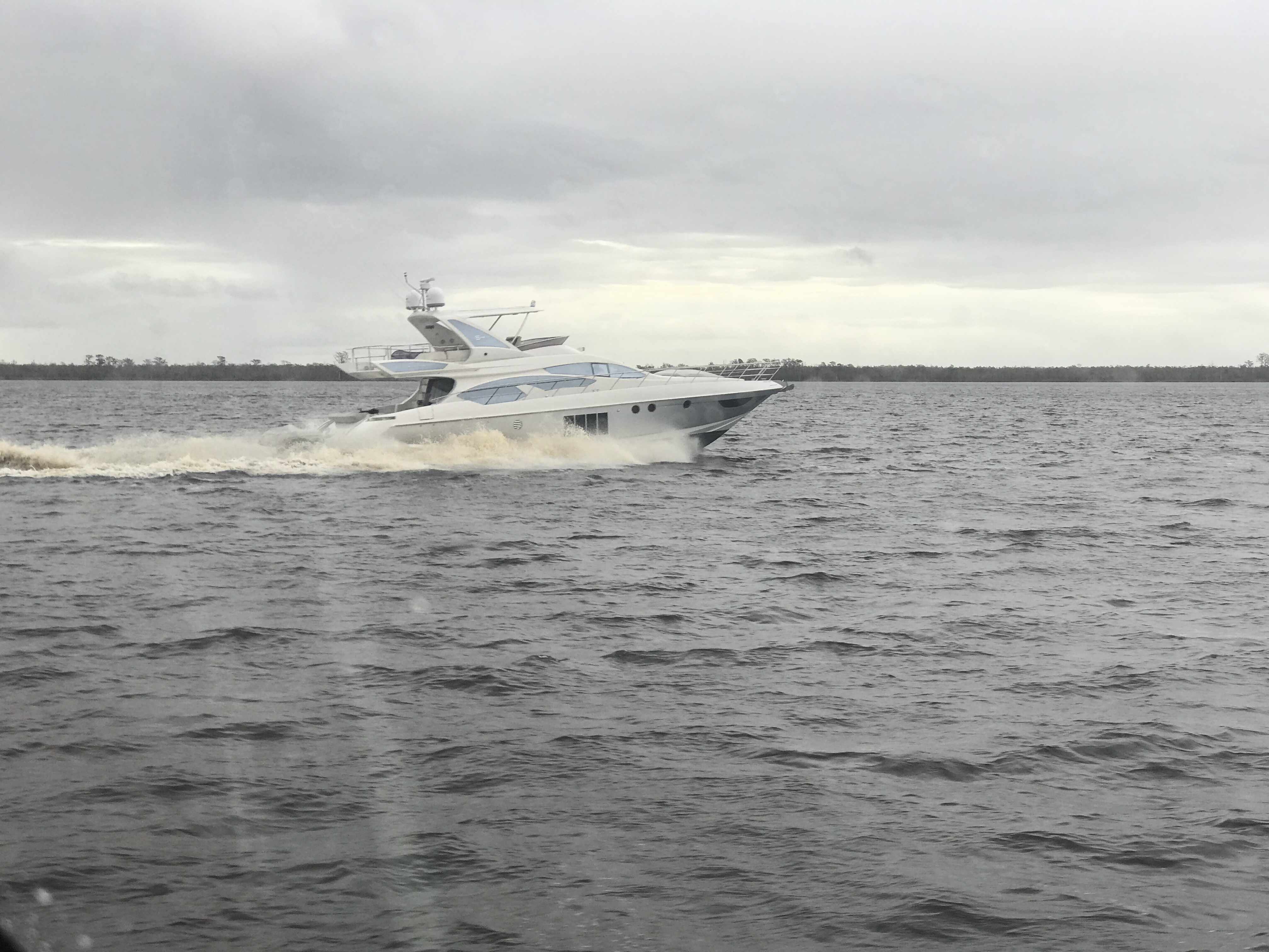
A catamaran was slowing passing us. I could not quite get the name but wonder now as I type if it was the catamaran that hailed from Alaska that we would eventually tie up next to?

Catamaran in the Pasquotank River

Buddy was quick to point out a dirigible hanger along the rivers edge. I had never seen one.

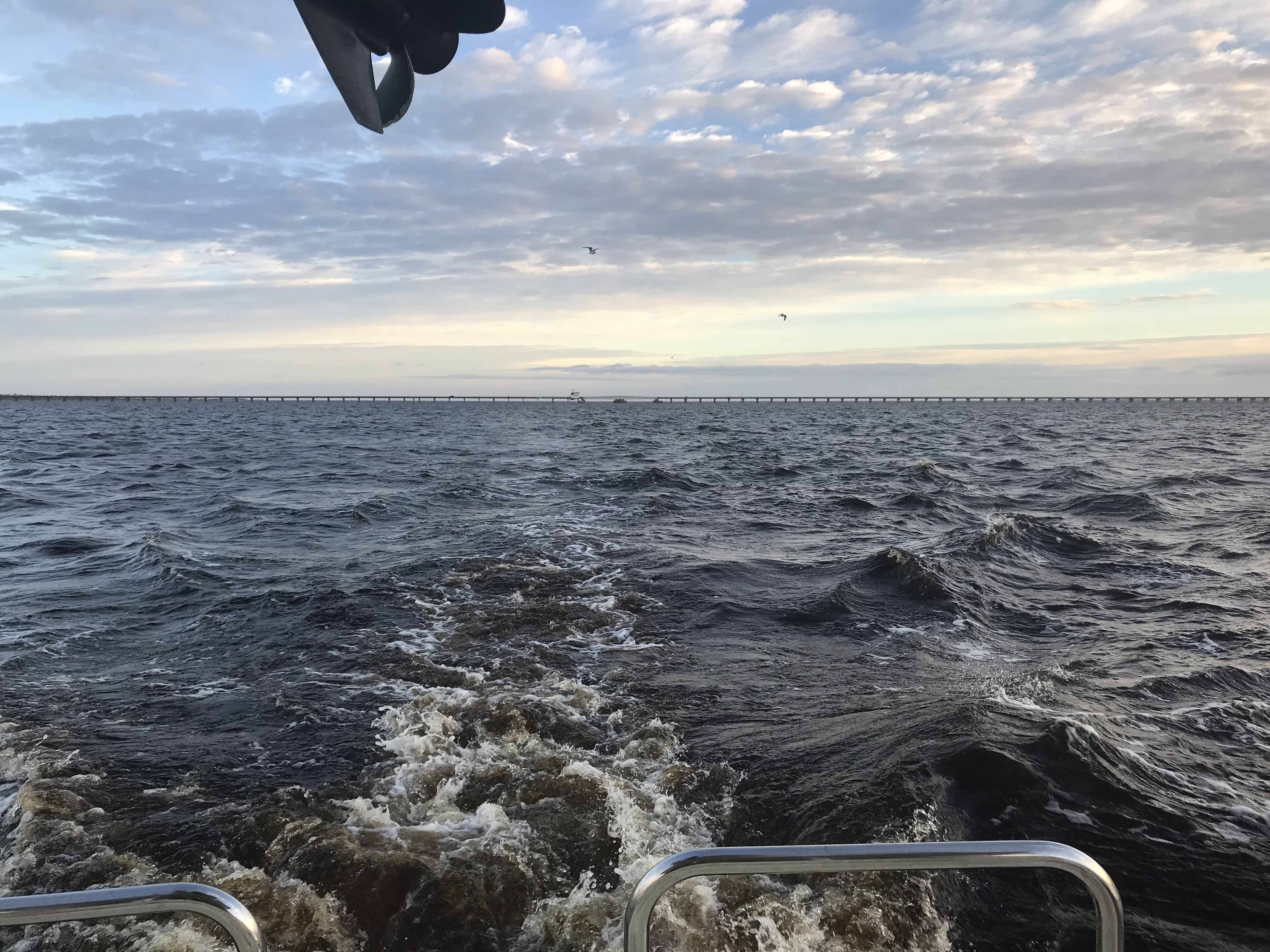
Soon we were crossing Albemarle Sound and making our way into the Alligator River. You must get through the Alligator River swing bridge before coming to the aptly named Alligator River Pungo River Canal.

Approximation of Today’s Leg of our Journey

The southern end of the Alligator River begins to narrow and you find the entrance to the Alligator River Pungo River Canal. This canal was an engineered cut through the land and you can set the autopilot and go for what seems like miles before you have to make a tiny adjustment to your heading.

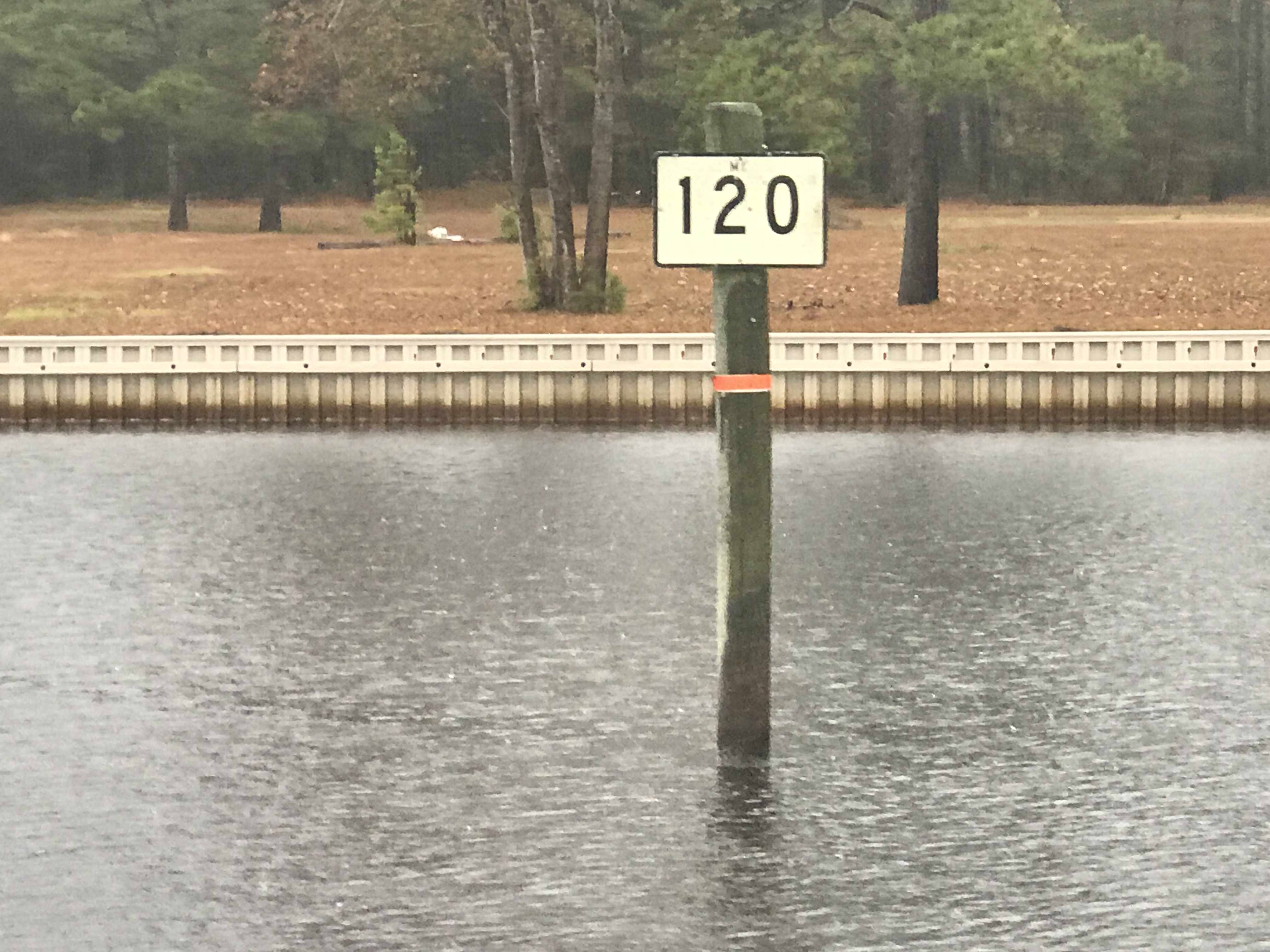
In the canal and all along the ICW you pass what are called ICW statute mile markers.

ICW Statute Mile Marker 115

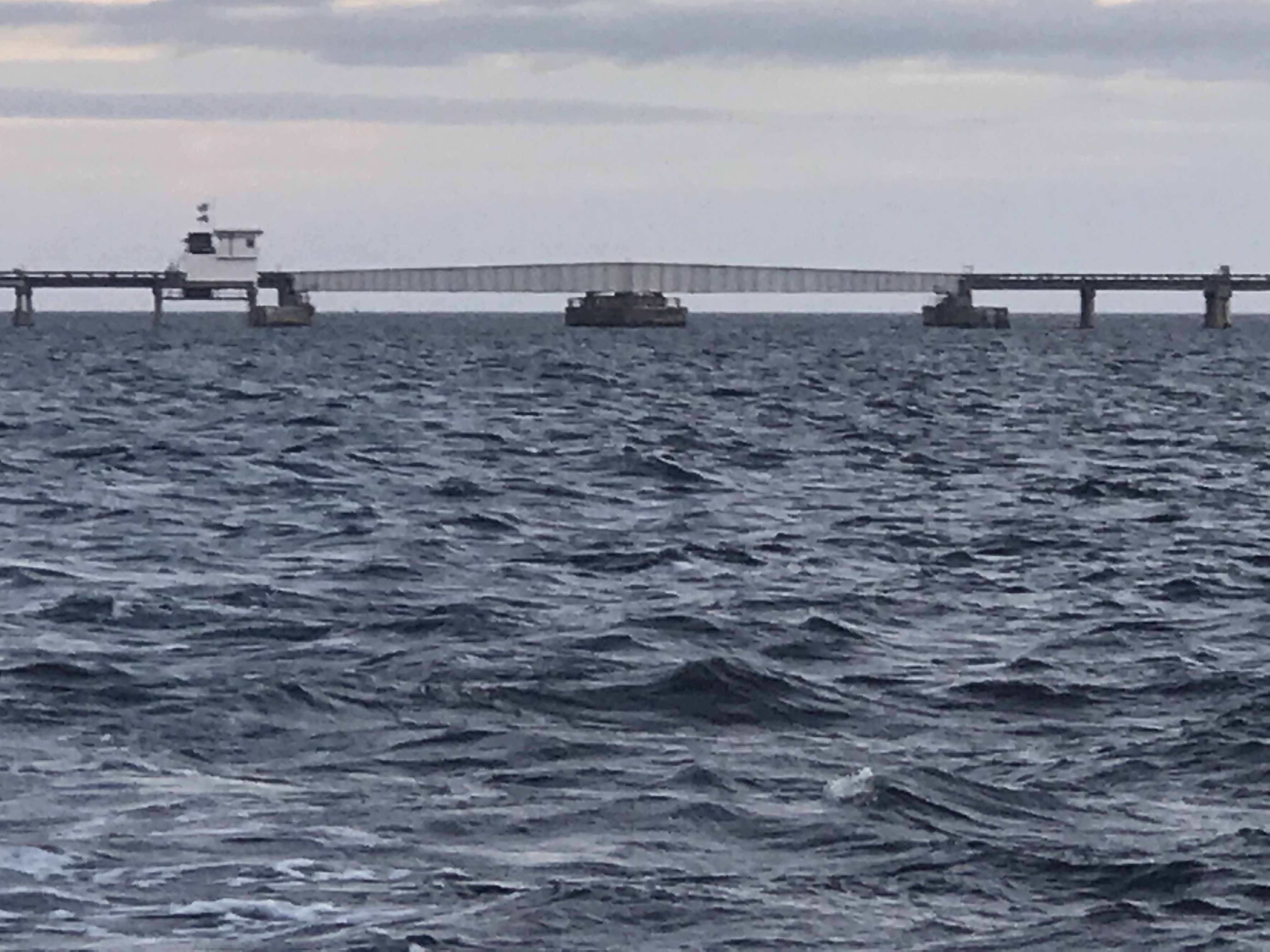
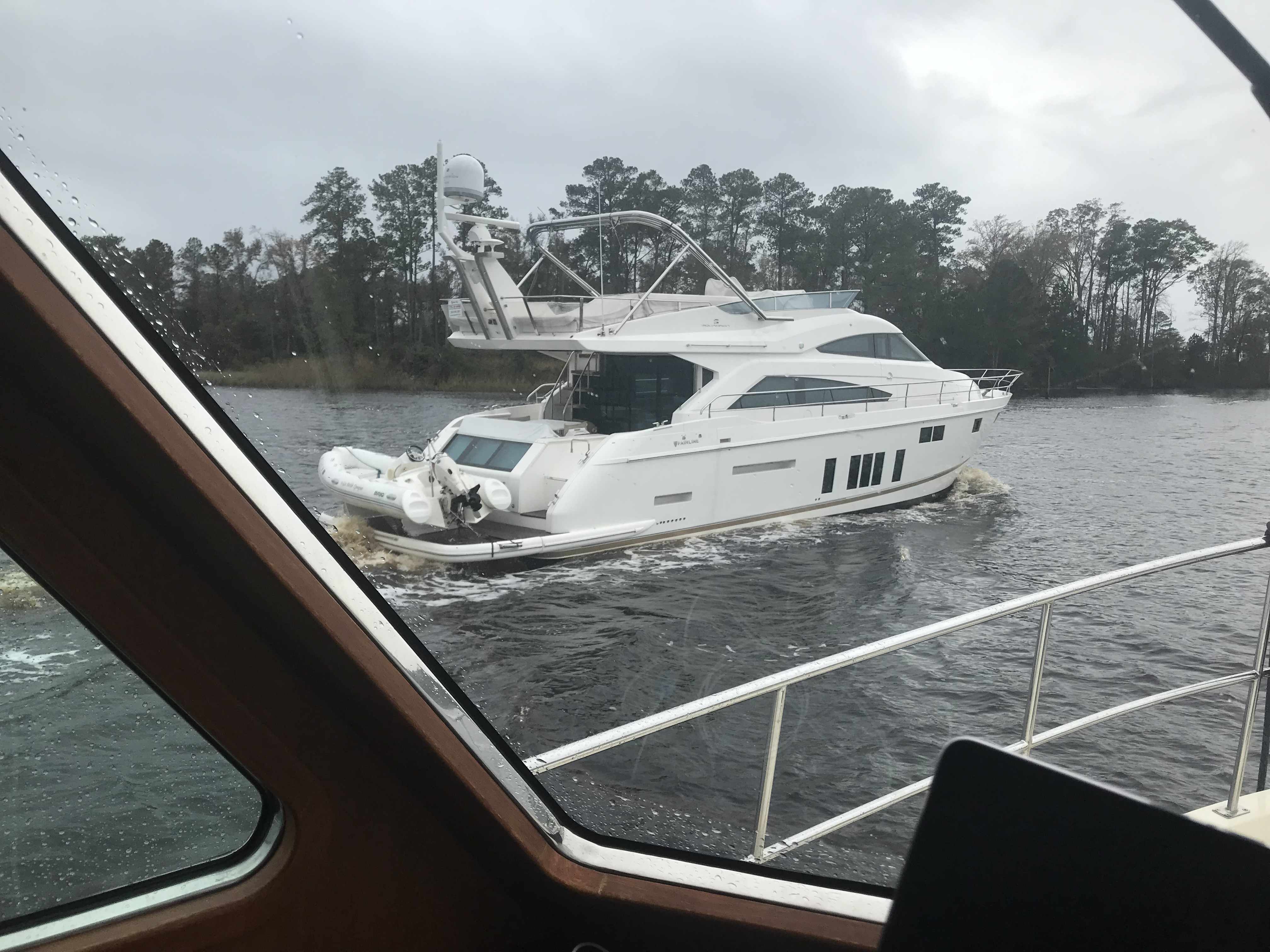
You will almost definitely have to pass a tug & barge

With the day coming to a close we decided to anchor at the southern end of the canal rather than push on to the town of Belhaven, NC.

Our Anchorage for the Night

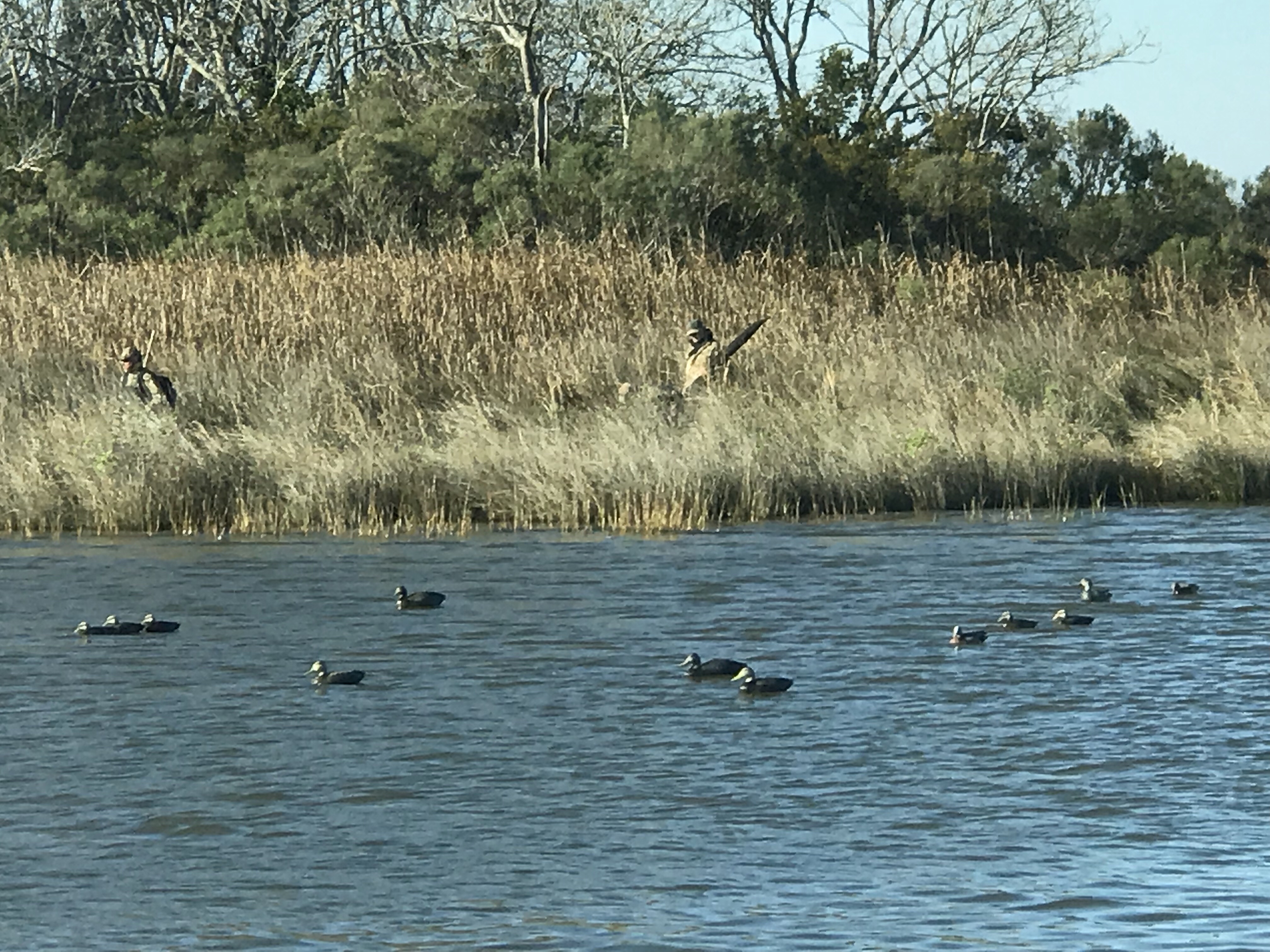
Luckily for us it was not duck hunting season or I’m sure we’d be seeing shotgun barrels poking out of the grasses that line the banks.

Goose Creek NC

Beaufort, NC in two days requires an early departure. 6:19AM to be exact.

Departing our Anchoring Location off Durant Island, NC

Planning is a big part of cruising. It starts by thinking where you would like to get to. Then you check the weather, wind speed & direction, marine forecast, sea state, etc. If the weather is bad than you must consult the crew (wife / admiral ) and get their opinion on whether to go or stay put. If you skip this step you could find yourselves in marriage counseling.

Once you know where you want to go you must ask… “How long will this take at cruising speed?”. Slower cruising speed = better MPG = $. We conservatively plan 50 NM / day if we use the 10 hours of light that late November gives us. If we want to cover 70 or even 100 NM than we’ll have to run long into the night. Here you must know your limits. After 12 hours at the helm you may find yourself coming into an unfamiliar inlet or harbor on an inky dark, moonless night with wind & waves and other hazards. (See warning above about counseling).

I find that using every charting and weather app on your phone, tablet while underway to constantly revise your plan works best. Advise your crew that “the next two hours will be a lumpy ride but soon we’ll be enjoying a drink in a peaceful anchorage for the night”.

The Alligator River Swing bridge crosses the broad mouth of the Alligator River. It must be fun driving over this long bridge that is only 20 feet or so above the River.

We had to keep to starboard as our radar showed many faster yachts coming up behind us. They would zoom on by and we’d have to do a quick 90 degree turn to cut their wake or get rocked.

When you reach the Southern end of the Alligator River you enter a 20 mile long canal that was cut through the land with a laser gun. OK maybe it just looks-like the ACE (Army Corp of Engineers) used a laser gun? It’s so straight we barely need to adjust the autopilot heading.

Alligator River – Pungo River Canal

While you are keeping an eye out for hazards like tree stumps and deadheads (trees snapped off at or near water surface), you’ll pass ICW Statute Mile markets reminding you that you have a long way to go.

There is land for sale along the canal.

For SALE

Perfect if you like duck hunting like this hunter we passes who was picking up his duck decoys.

Decoy Ducks

Moving over for oncoming or passing traffic must be done carefully as outside the center of the canal you’ll run into shoals, stumps and other hazards.

I Don’t Think We Can Keep Up

When you see a bridge like the one in the picture above you quickly grab your phone and check for a cell signal. Yup, you’ll have a signal for maybe the next mile.

It was cold and rainy but warm inside our pilothouse.

We knew from checking the wind speed & direction that when we exited the Pungo River it would be lumpy.

Soon we were tucking into Goose Creek and then again into Campbell Creek to avoid the weather. Anchored tight to the tree-lined shore in Campbell Creek we found respite from the weather.

Anchored in Campbell Creek

Saturday’s leg looked something like this.

W02L011 – Winter 02, Leg 11

The cell signal in here is either weak or just non-existent.

Anchor to Anchor in South Carolina

We awoke this morning at sunrise and the Waccamaw River was still.

Only after looking at Google Maps did I become aware that the creek that we anchored in was really the Waccamaw National Wildlife Refuge in South Carolina.

Our Anchorage in the Waccamaw National Wildlife Refuge

Along the route to Georgetown, SC there were many hazards dotting the ICW.

We did not see many other boats as we traveled along. We did see this steel hulled schooner called SV Steel Away. Nice vessel for the ocean and anchoring in.

Steel Schooner Steel Away

We saw mossy trees.

Mossy Trees

As well as duck hunters in the mashes that lined the ICW.

Duck Hunting with Decoys

When we arrived in Georgetown, the air was scented with the smell of a paper manufacturing plant. We made the decisions to continue on.

Paper Plant in Georgetown, SC

As the sun began to set we were forced to find an anchorage and we picked this one on the Atlantic Ocean just a 1/2 mile off the ICW.

Our Anchorage Near Georgetown, SC

We dropped the hook just as the sun was setting and it was beautiful.

On Anchor Near Georgetown, SC

There was one other boat anchored with us which was about the only other boat we saw. This sailboat was from South Carolina so we are not even sure if they are snowbirds like us?

The last thing to do after a full day at the helm was to cook up some steaks on the griddle and sit back and relax.

Steak on the Griddle