We awoke to the sound of rain hitting the topsides of the boat. We weighed anchor in the rain and it poured for the next few hours.
Morning Ride leaving Fort Matanzas
We passed these hearty Jeepsters camping in the rain.
Myself, I prefered to tent in the dunes at the beach
The weather just hung over us all day. It did not help that we were motoring South, straight into the thick of it.
Rainy Day
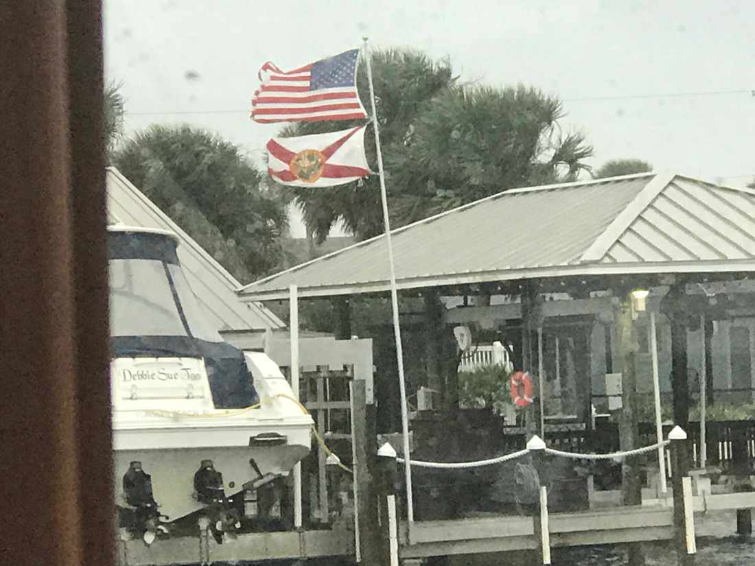
The wind was on our beam and listing the boat to port. You can see the flags are flying out straight.
Flags are a flying
We passed two sunken sailboats and an aground catamaran.
Sunken Sailboat 1
Sunken Sailboat 2
Catamaran on anchor aground
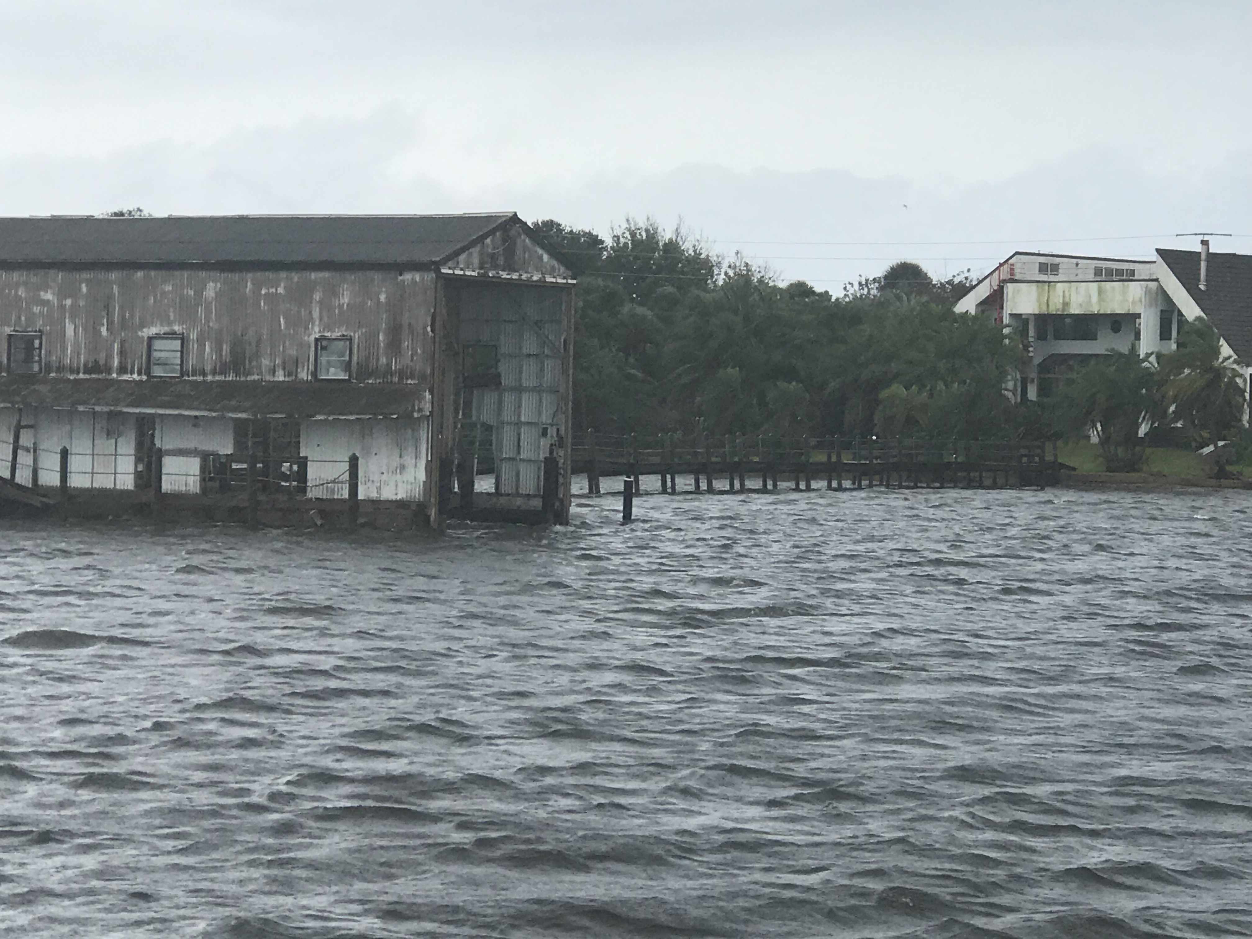
This guy wins the award for the largest boat house on the ICW today and also the most dilapidated boat house. I wonder how it’s even still standing after some of the storms?
Dilapidated Boat House
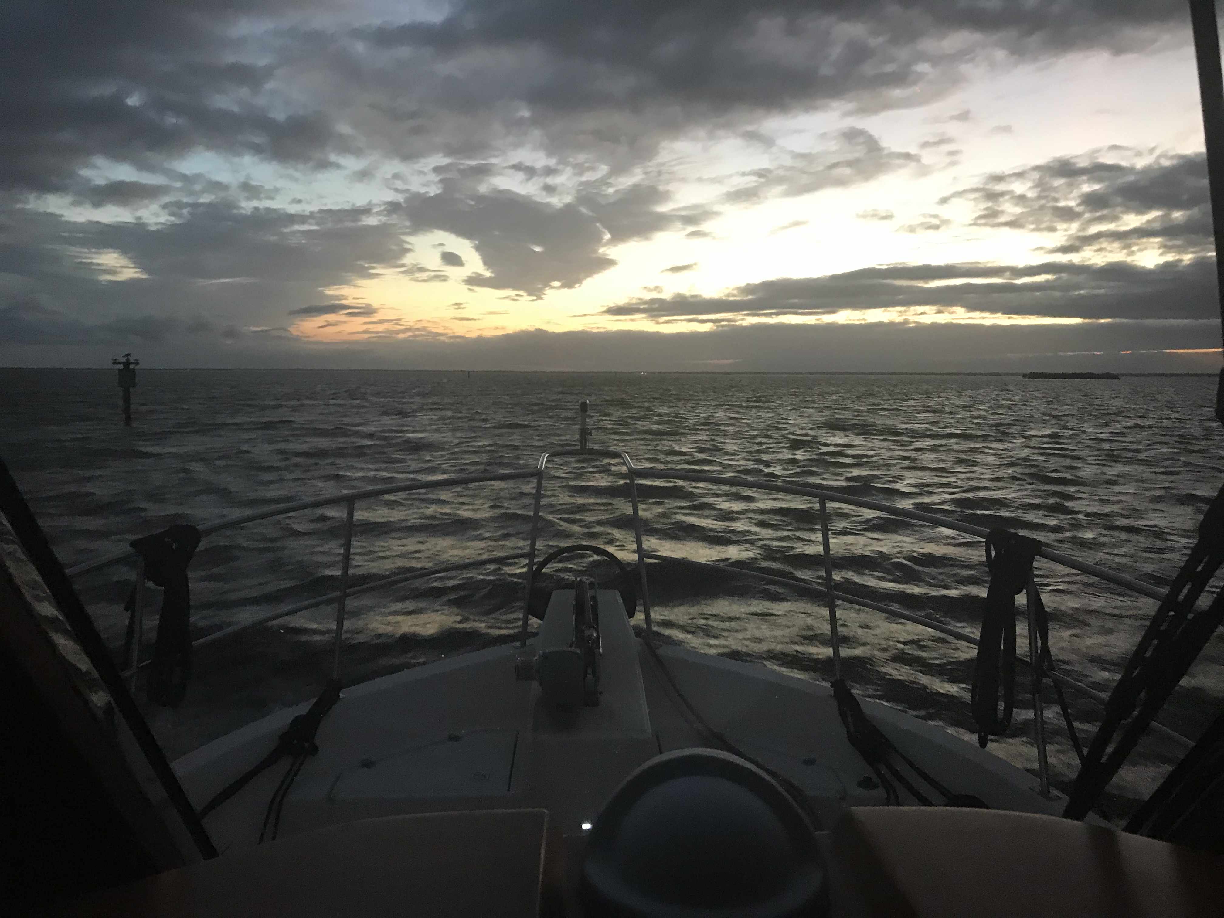
We still had a long way to go if we were going to make Titusville, FL and the sun had just set.
Sun has retired for the night
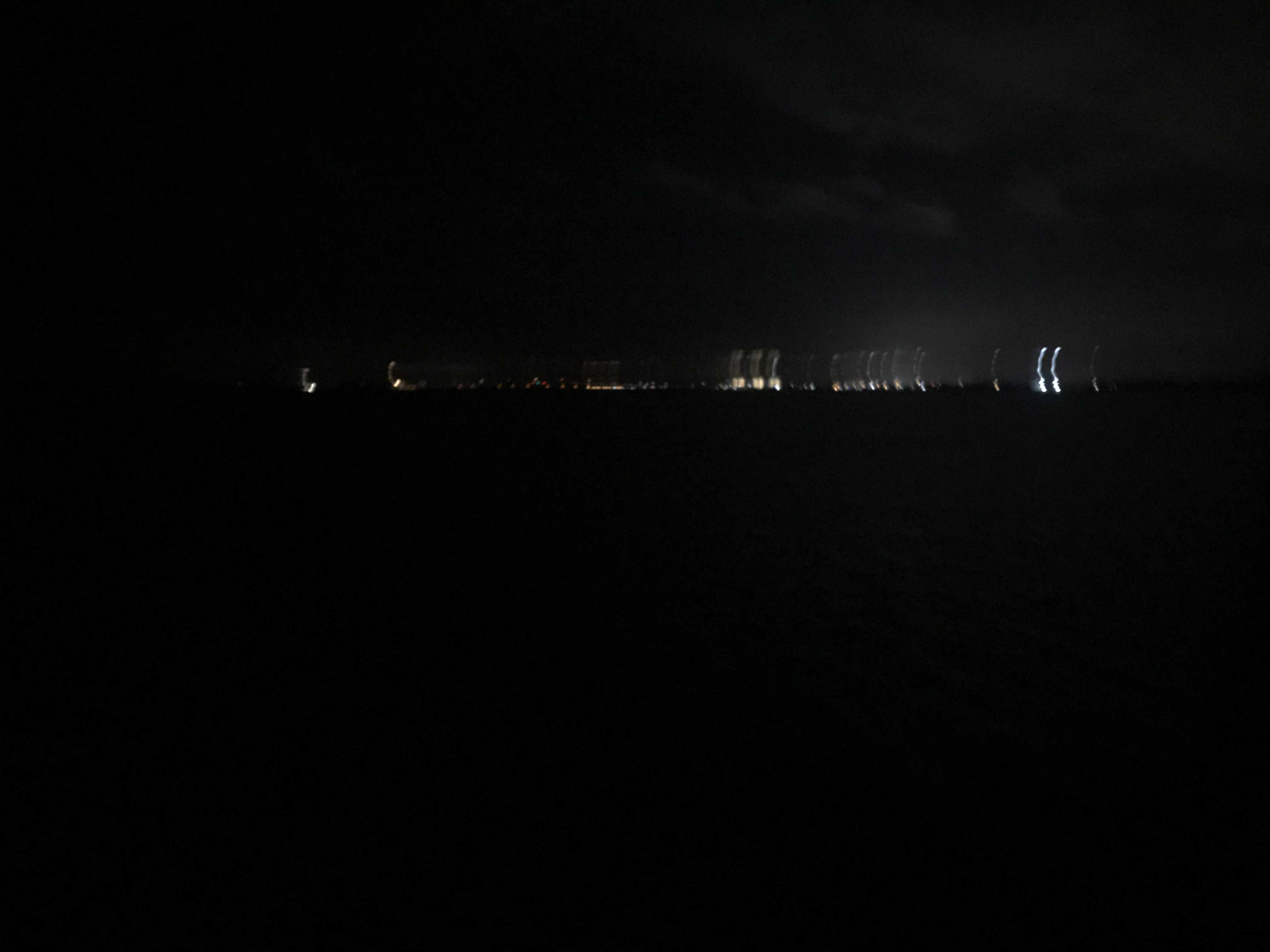
We kept on into the night while Kelly cooked an amazing steak tip dinner while underway. We may be pulling 10-12 hour days at the helm but we are eating well. Soon we picked a spot to anchor which was tucked in a corner between land and a railroad bridge. A bit shallow but well protected for a good night sleep. It’s very dark with only a thin waxing crescent moon but you could see the distant lights of Titusville.
Distant Lights of Titusville, FL
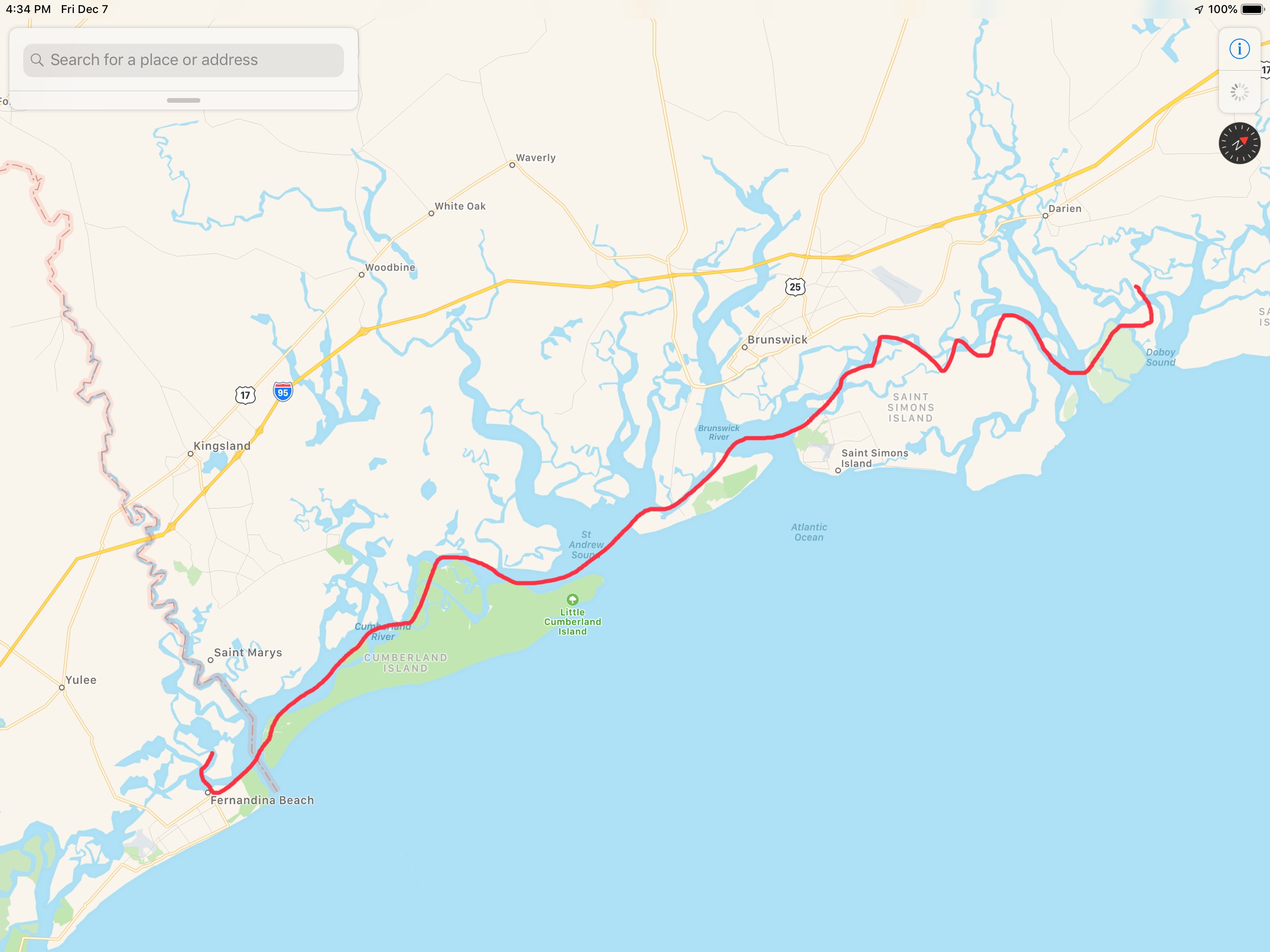
Today’s leg of our journey looked something like this finger drawn route.
I awoke at 4AM before any of the crew. Neither Happy or Brody came out from under the covers to join me. We are in Georgia and it’s only 40 degrees when I awoke.
Heck, the temps were going to fall deeper before the 7:13AM sunrise.
Underway in the dark 6:14AM
By 6:30AM the sky was starting to lighten up on the ICW.
Looking East where the sun will rise
I decided to walk out on the bow while underway and snap a picture and a quick video before sunrise.
Not quite Sunrise
Once the sun rose you could see it burning the face of the daymarks as we passed.
It’s high tide and the rivers are swollen around here. Daymark almost underwater.
When you are at the helm for hours the internet is your entertainment. I was watching Mike-the-Drunken-Donkey from Mike’s Weather Page broadcasting FB Live video stream. I tuned in as Mike taught about weather and what to expect from the winter storm making its way across the US.
Thankfully, MV Simple Life will be in Florida by the end of the day
We were amazed at how flat calm the ICW was as we pushed along at 7 knots.
Not a frozen Lake but contrails in the reflected sky
Daymarks Reflected
Flotsam in the sky
Flotsam everywhere
My reflection as I snap a picture of the bow’s wake
At the helm I’m wearing my work pajamas because it’s still a bit chilly even with the diesel heat on. Happy just figured out that there is HEAT coming out of that little black round duct below the AC panel door. She parked herself right under my feet to steal all the heat.
Heat Hog
We were making incredible time as we approached Cumberland Island in Georgia.
SOG (Speed Over Ground) = 10.4 knots
10.4 knots because we were enjoying a strong current on our stern.
Then as we looked out, we could see a current line on the surface of the water.
Opposing currents meeting causing white chop
We feared as soon as we crossed this line that our 10.4 knot speed would begin to erode. We could never have guessed just how much.
Strong Current on the nose. 10.4 => 3.9 knots
Knowing we would face this current from our trip around Cumberland Island we attempted to ride close to shore looking for an eddy current (reverse direction). But alas it was no use. We had a long slow ride around the island.
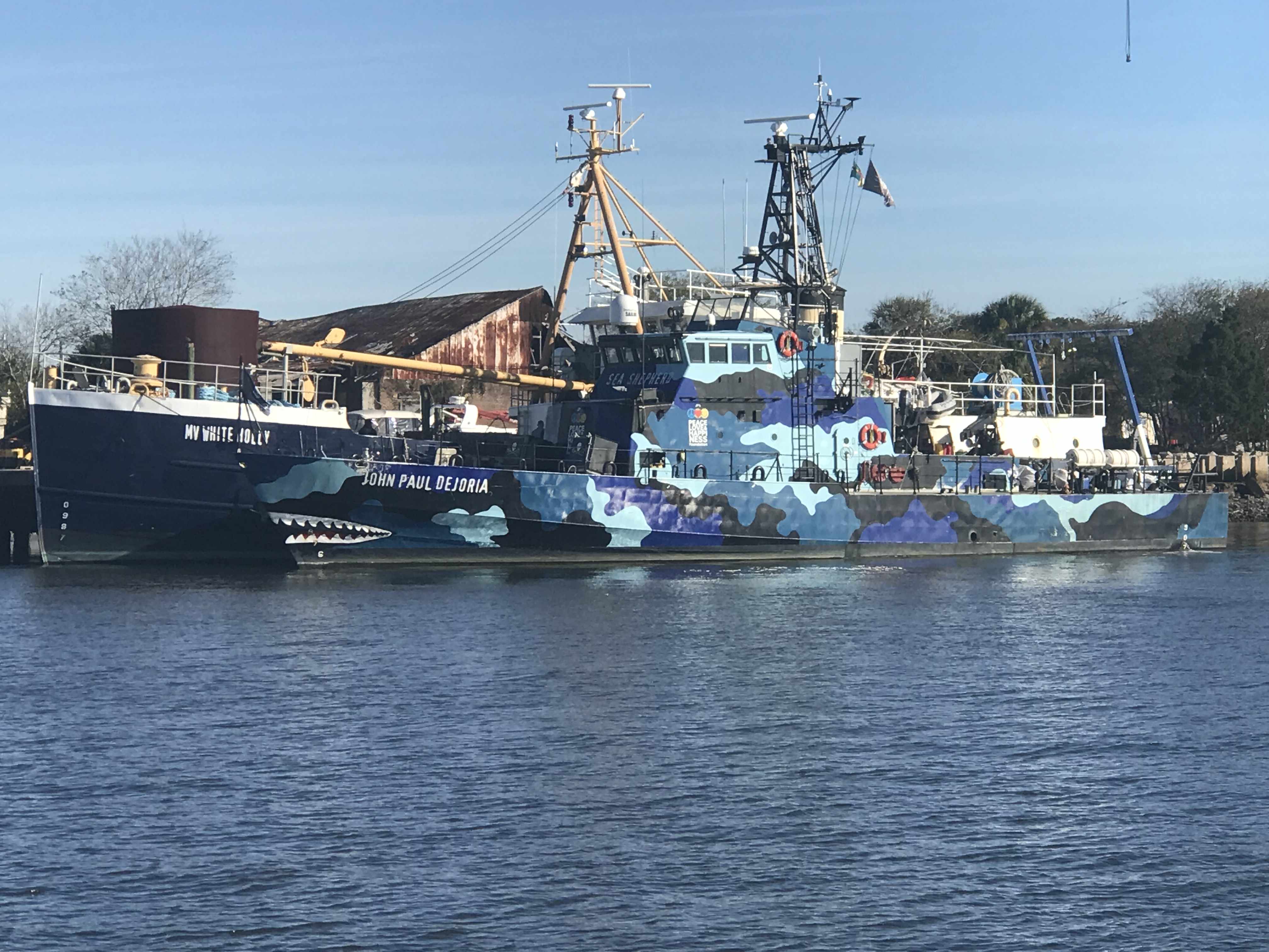
Then it happened. We crossed over the state line into Florida’s Amelia Island A.K.A. Fernandina Beach. As we passed we saw a ship that looked like a member of the Sea Shepherd fleet. We snapped a photo on the way by and low & behold, it was a Sea Shepherd ship.
Sea Shepherd’s – MV John Paul Dejoria
Kelly & I have always been fans of ocean conservation and the crew of Sea Shepherd work hard to keep our oceans and their inhabitants safe.
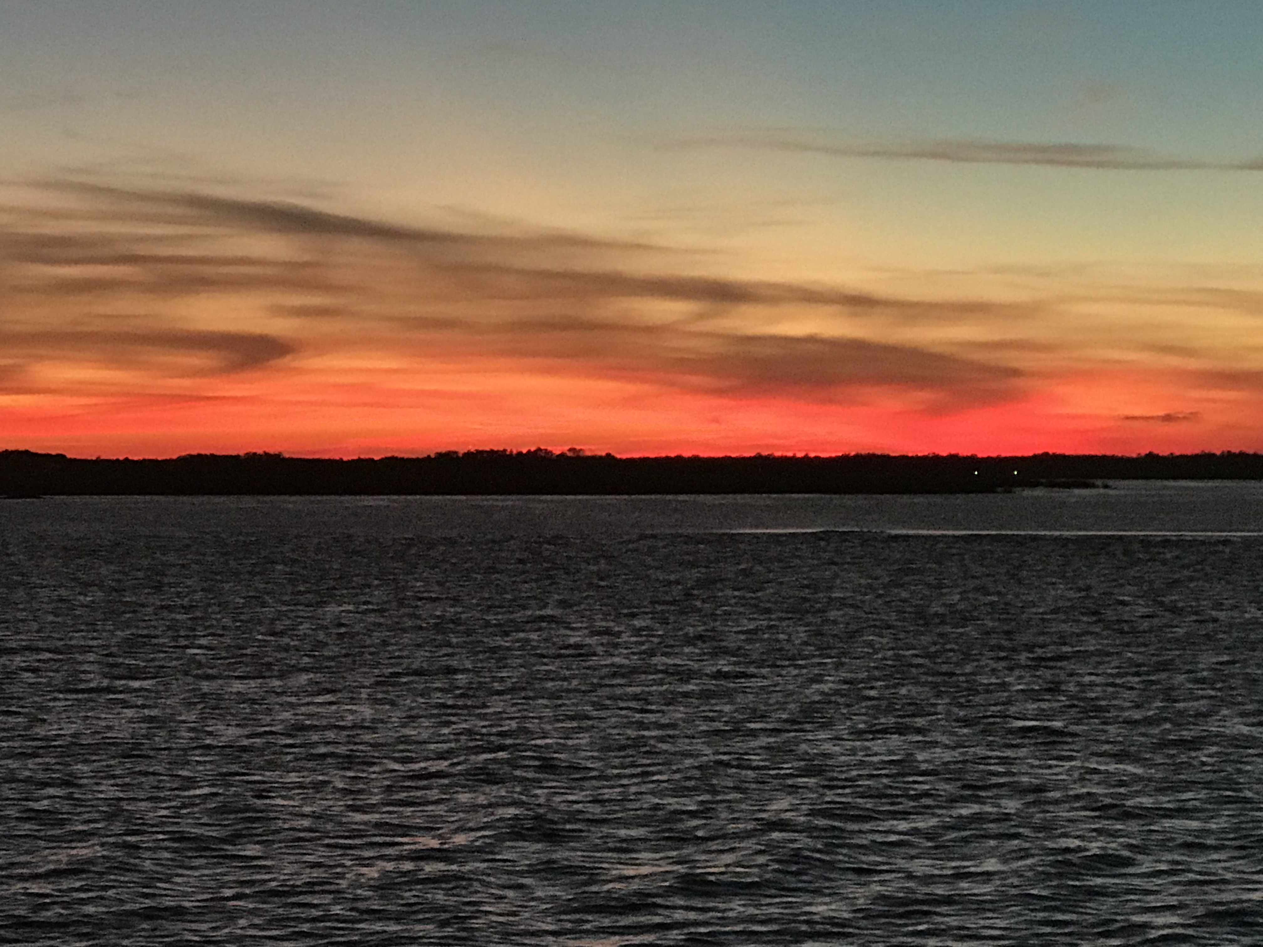
We are currently anchored in the Amelia River just over the GA-FL state line.
Sun is setting in the Amelia River as I finish this post
Today’s leg looked something like this finger drawn route.
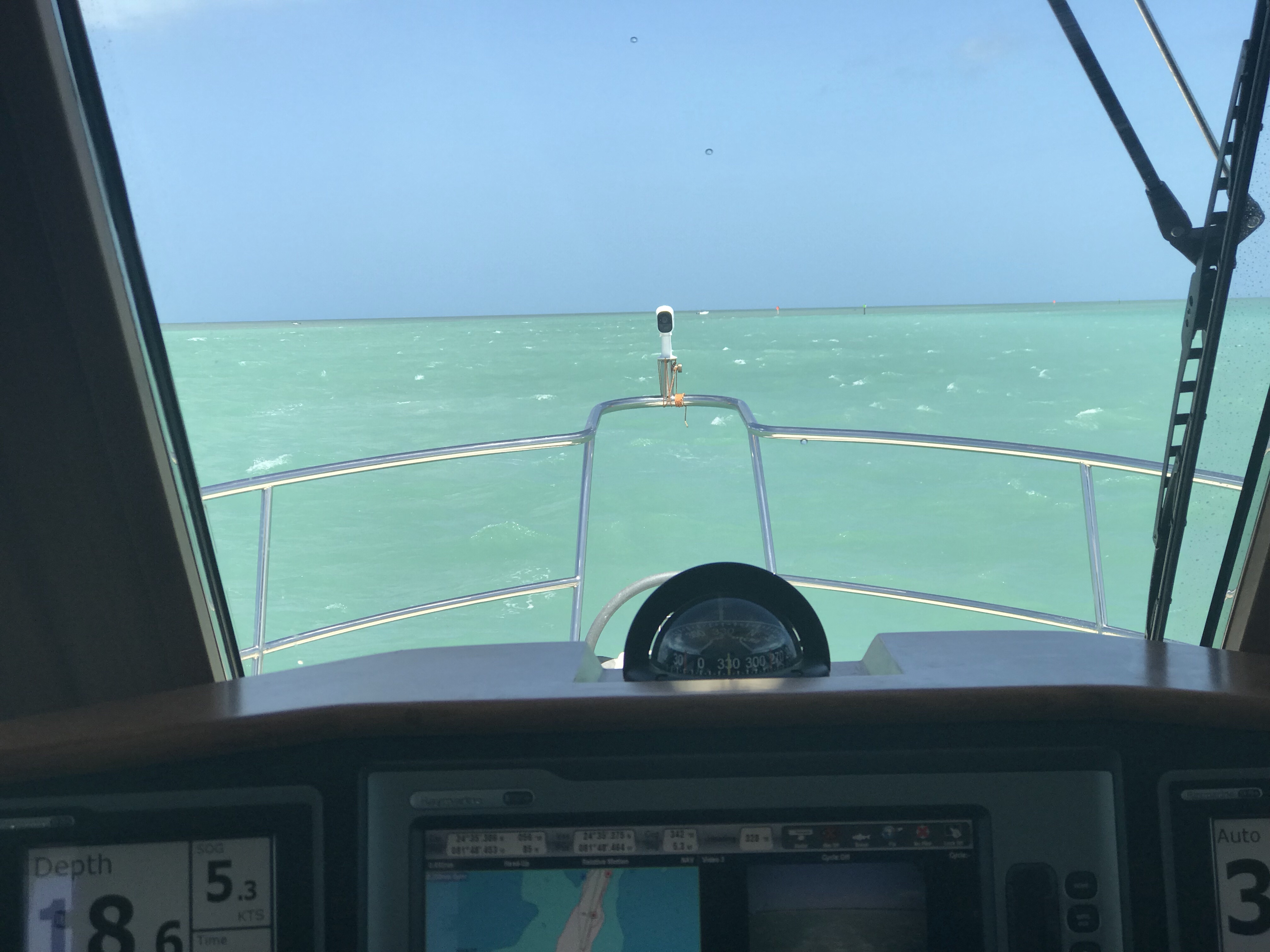
Marco Island is wonderful. The trip here from the Everglades was a 10 hour slow trip through a hazy Gulf of Mexico.
Looking out the cockpit windows at times it seemed that the horizon simply faded into the pale green water.
haze
more haze
more haze
more haze
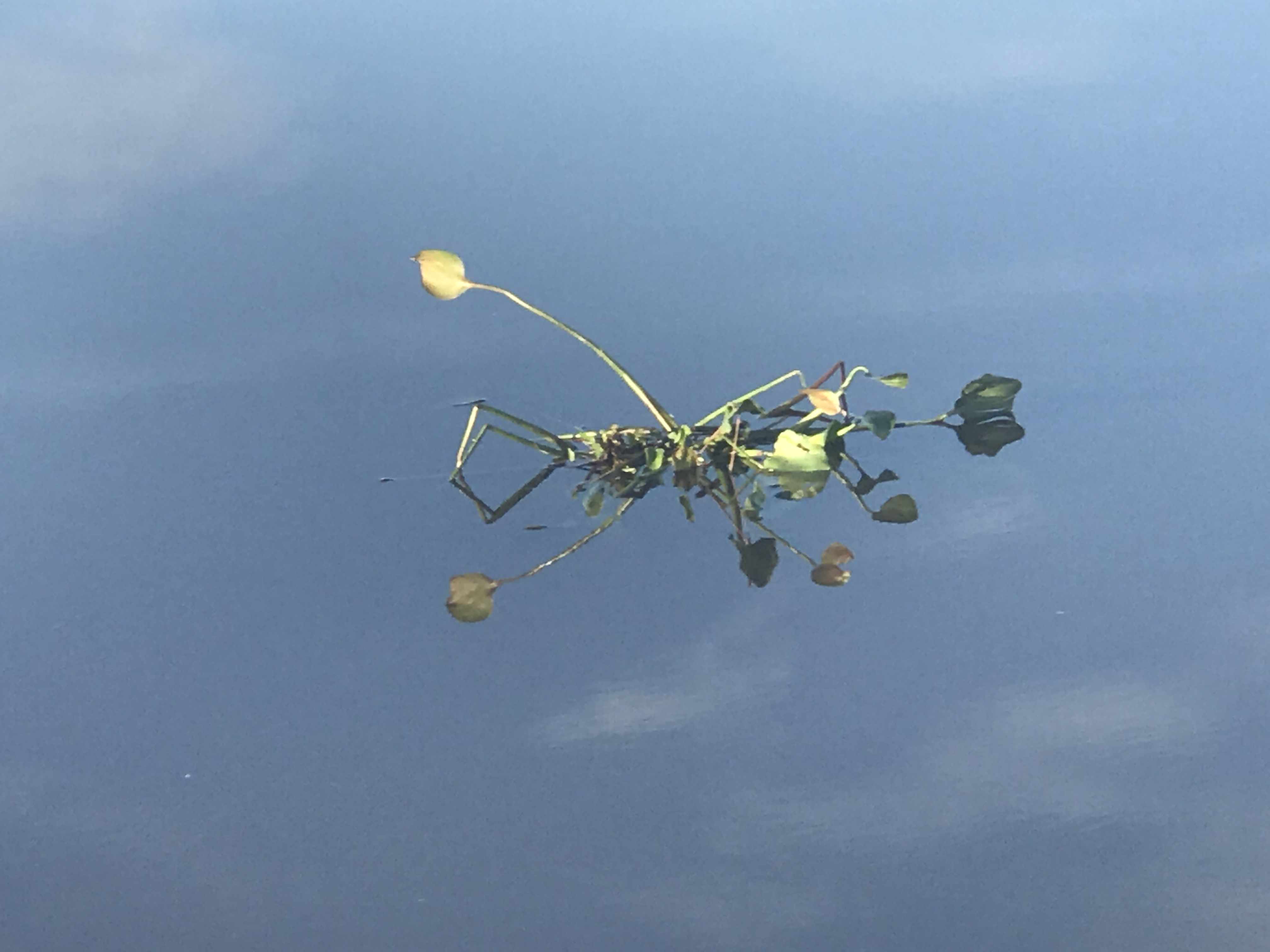
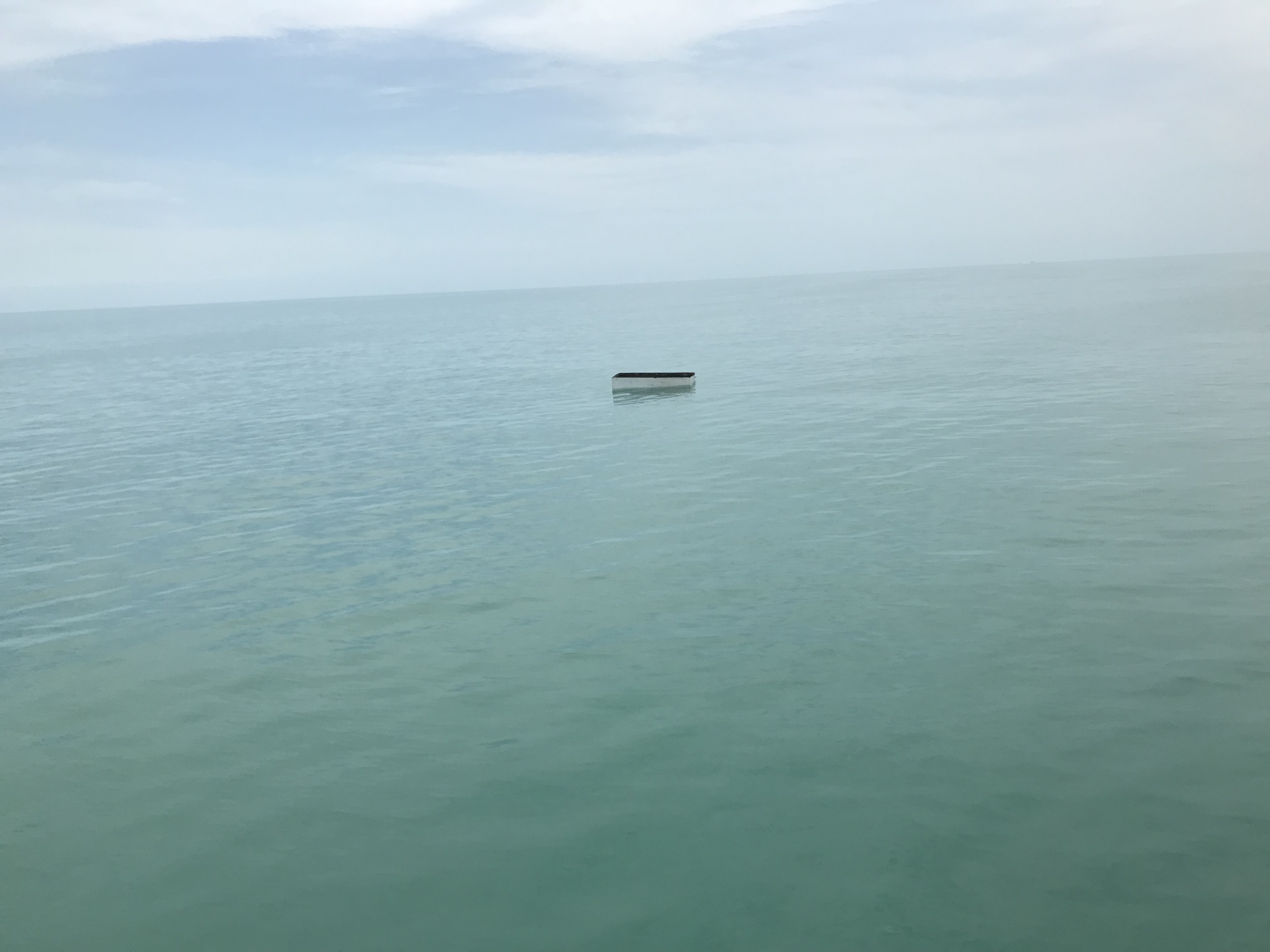
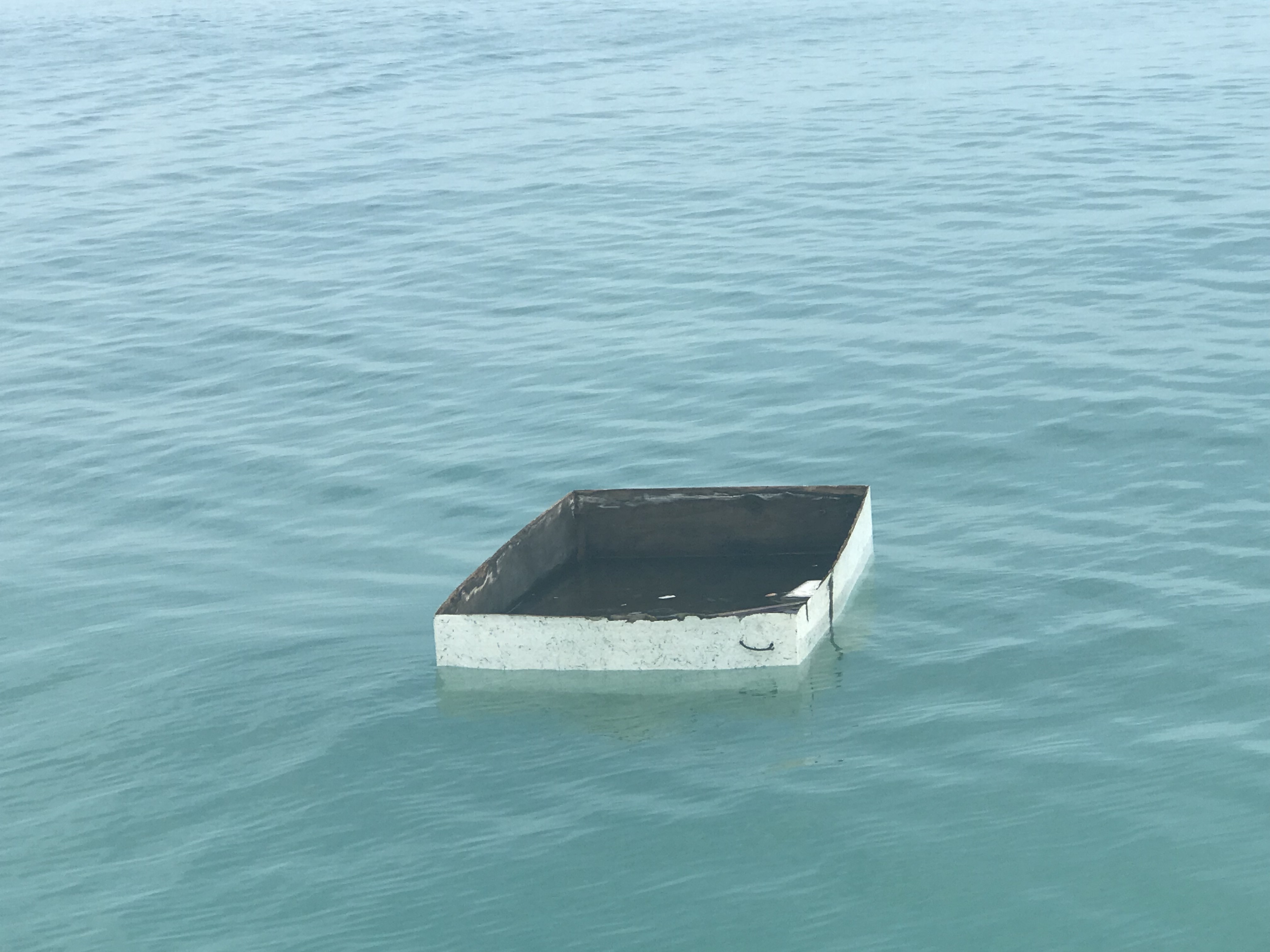
At one point in the journey we noticed something floating on the water and thought we should investigate. From a distance I could not tell what it was..
Something floating from afar
As we got closer it appeared to be a floating box of sorts. Maybe it was some kind of hatch cover off a boat?
Piece of a boat?
As we entered the Marco Island entrance channel you could see the large buildings with the white sandy beaches. I believe hurricane Irma hit Marco island pretty hard but read that they were able to recover quickly and reopen their beaches for tourists.
There was a moment from that I could not figure out what the bright white lining the shore was. I’m not used to seeing beaches so white?
Nice white beaches
Condo or resort?
Tall buildings as you enter Marco Island
As we made our way in Capri Pass we passed people having fun on tubes as well as the Key West Express. For folks on the West coast of Florida Marco Island would seem a great jumping off point to get to Key West.
Looks like fun
I wonder how long a trip to Key West on something as fast at this?
Soon we found a great anchor spot just outside the channel North West of Green Daymark #15. The current was strong but the holding great.
Our Anchor spot in Marco Island. Follow the orange route line to the outlined boat with heading line projected off bow.
Anchoring here puts you right in front of the “World Famous Snook Inn”. It was time to drop the dink and go for some drinks.
At the Snook Inn bar
Looking out from the Snook Inn you could see MV Simple Life on anchor.
You can see MV Simple Life from our table at the Snook Inn in Marco Island.
You can also watch the many boats who sail on by. They have a custom of doing a close sail by the front windows of the Snook Inn and blowing their horn followed by waving at the folks in the restaurant. It was fun to watch the boats go by.
Beautiful blue Sabre
I love the 3 boxers in the cockpit
Love the woman’s head graphic on the aft
On our way back we tried to get a selfie of us in the dink in front of our boat. We could not stop spinning in the current and the shade from our camera just seemed like an eclipse shadow that we could not shake.
Selfie – Take 1
Selfie – Take 2
Selfie – Take 3
Selfie – Take 4
Ok. Give it up.
While we were on anchor in Cudjoe Key a stray line became fouled in our propeller. MV Simple Life has a “pot cutter” on our propeller shaft and it did the job of cutting the line. However, we now had a slight vibration in the running gear at higher RPMs. I decided I should dive on the propeller and attempt to untangle any line from the propeller. While my heart may be on the water, I’m not very comfortable being “in the water”. Diving on a boat propeller while on anchor with current and sharp instruments in your hand turned out to be more difficult than expected. However after several attempts and even cutting my head after being banged into the hull, I managed to cut the offending line free.
I don’t like diving to untangle lines from our prop. Time for a beer!
The spot we picked to anchor is in a “no wake” zone and passing traffic was super polite about passing us super slow.
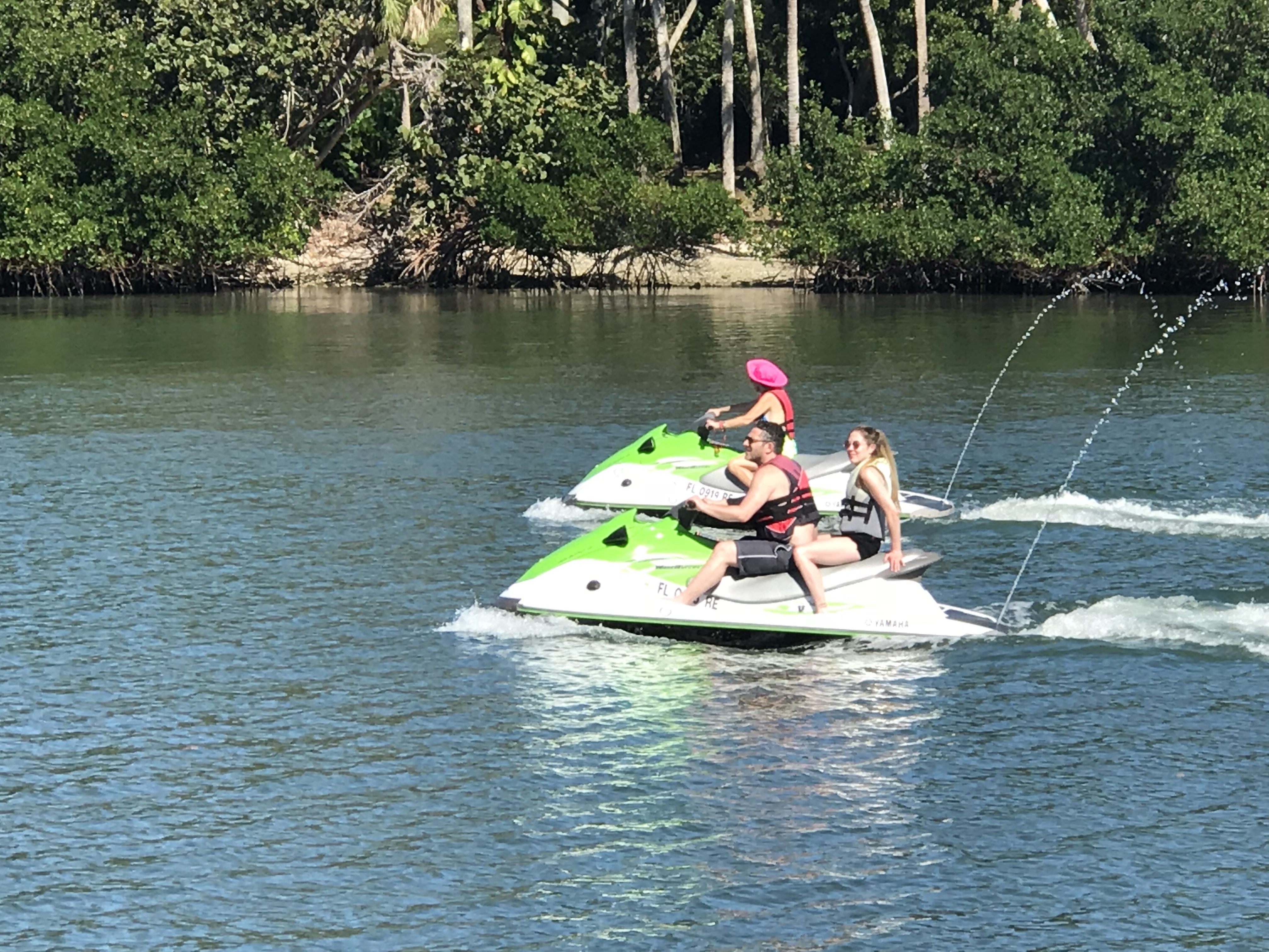
After seeing the local sheriff pull over this pair of wave runners I get the feeling the sheriff enforces this no-wake zone.
The Sheriff enforces the no-wake zone here
The calm anchorage made for some beautiful sunsets.
These little buggers will rip the flesh from your bones.
We weighed anchor and pulled away from Crane Key in the Florida Keys. The route out of Cudjoe Key was shallow but easy to avoid the shoals if you pay attention.
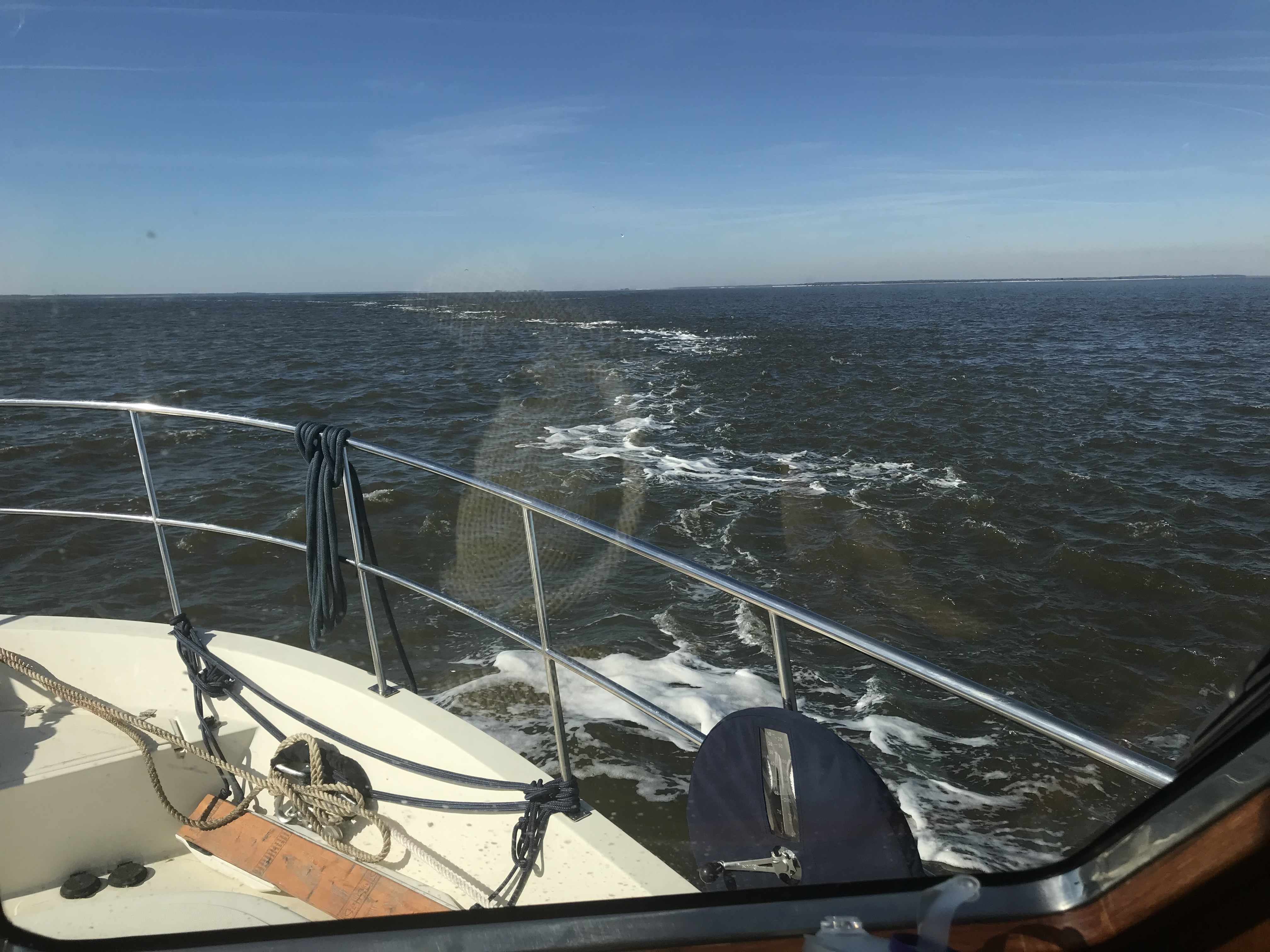
The crossing from the FL Keys to the Everglades was pretty uneventful as there was plenty of water, no wind and no boats in sight.
Once we entered Shark River you could see mangrove trees and muddy tributaries everywhere. The shores were alive with all sorts of birds and other critters. I get the feeling that nobody walks ashore here. I saw a pack of what appeared to be coyotes running along the shore at sunrise.
I read up on ActiveCaptain.com about “Little Shark River Bay Anchorage” and I can say that where other captains said they found 7’ of water I found 4’ and had to back out of the soft mud that caused us to select a new anchor location alongside a catamaran that was already anchored. The catamaran was lined up with the wind, but we lined up with the current. MV Simple Life has a full keel that the current likes to push on. The catamaran’s mini-keels (I did not see daggerboards) did not overcome the wind effect.
We quickly picked up the anchor and moved up the river to find a new anchoring spot. I found a spot just behind a single line of sailboats who had anchored in the river.
The winds soon died and the No-See-Ums came and they ate us alive. One minute we were enjoying cocktails on the stern and the next minute the whole boat was overtaken by these miniature monsters.
They came in unabated by our screens and proceeded to rip the flesh from our bones. We should have worn our foul weather gear to bed because when we awoke we were itchy and bumpy.
We have No-See-Um screens on our 2 overhead hatches but our port-lights and salon screens are only mosquito screens. Who knew these little buggers would pass right through our screens like the Fast-Lane at a toll booth?
I think Kelly needs to sew us up some screens like this other boating couple.
Kelly & I took turns at scratching each other in the early AM. The sun had not even risen and we were already preparing to weigh anchor and motor our home out of the Everglades.
We plotted a course to Marco Island. Hoping for a cell phone tower and a more enjoyable anchorage.
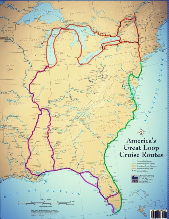
Key West is so much fun that if you are not careful you wont ever leave. That said we made impromptu plans not to return the way we came and instead take a route east up the inside of the keys and cross over to the West coast of Florida. Our float plan for the next few days includes anchoring at these locations: Crane Key, Shark River in the Everglades National Park, Big Marco River, Sanibel Island, Fort Myers Beach. Once at FMB, our plan is to cruise down the Caloosahatchee River, crossing lake Okeechobee and East out the St. Lucie River to Stuart, FL where we will rejoin the Atlantic ICW. We are excited to traverse the Okeechobee Waterway.
The Okeechobee Waterway is just a small segment of the Great loop. The Great Loop is route Kelly & I plan to traverse possibly this Fall or next year. The Great Loop takes you down through the middle of America via the river system. It’s an opportunity to see the heartland from the banks of the rivers.
We understood that many of the anchorages we would spend time at would be off the grid, ie. no cell phone reception or places to get fuel, water, ice, groceries, etc. Step one was to re-provision the boat. Kelly keeps lists of what the boat needs for food and supplies so we took the dinghy in, grabbed an Uber and it was off to Winn Dixie for some groceries. It was particularly windy and the ride back with a dinghy full of groceries was a wet one with sea spray blowing over the bow, which was weighted down with beer and food.
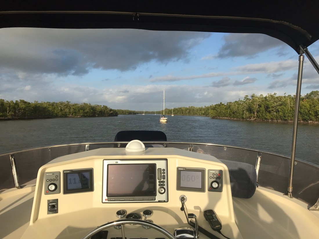
We let go of our mooring line in Garrison Bight Mooring field around noontime and navigated our way out a narrow channel on the North side of Key West called Calda Channel.
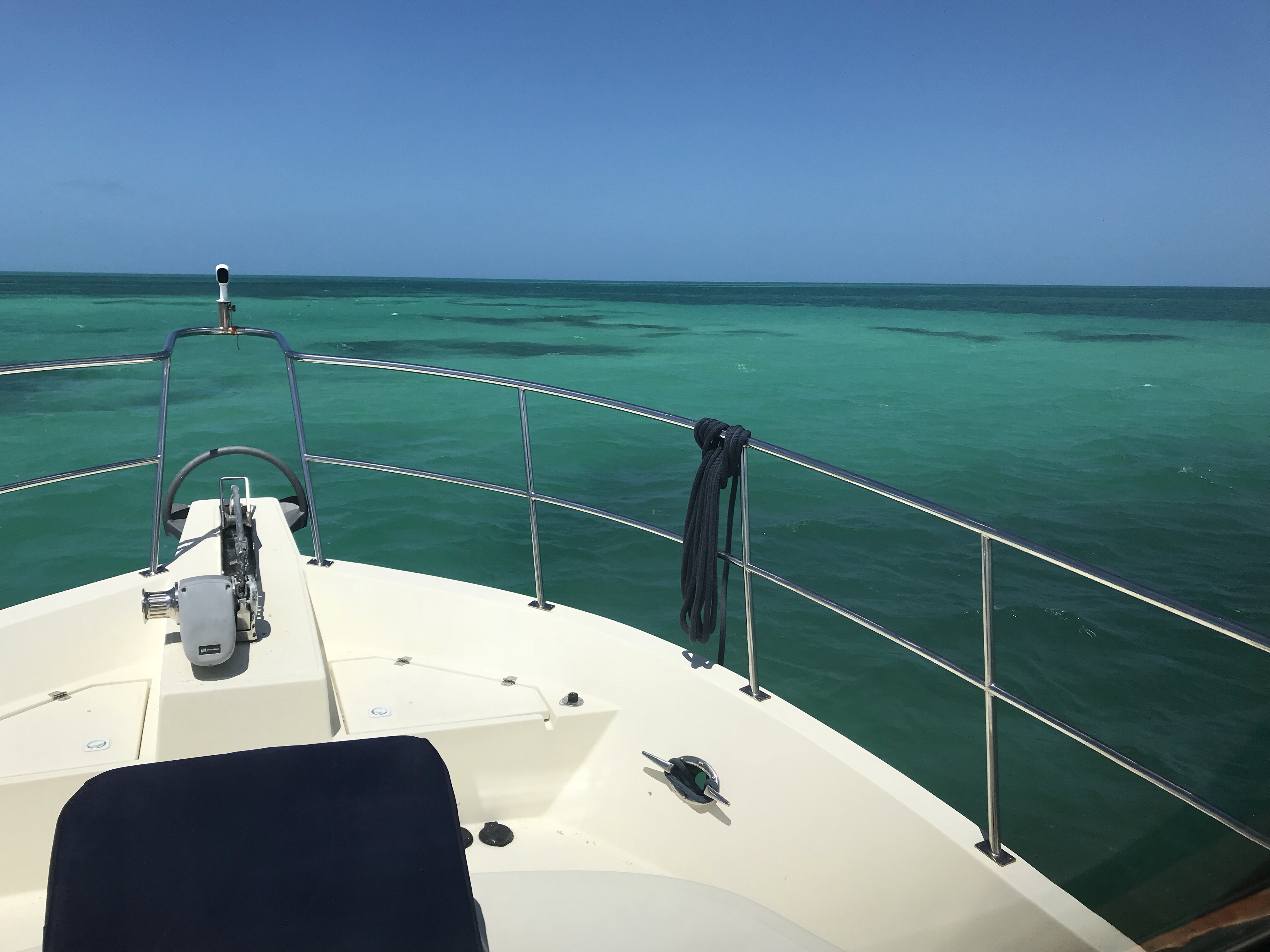
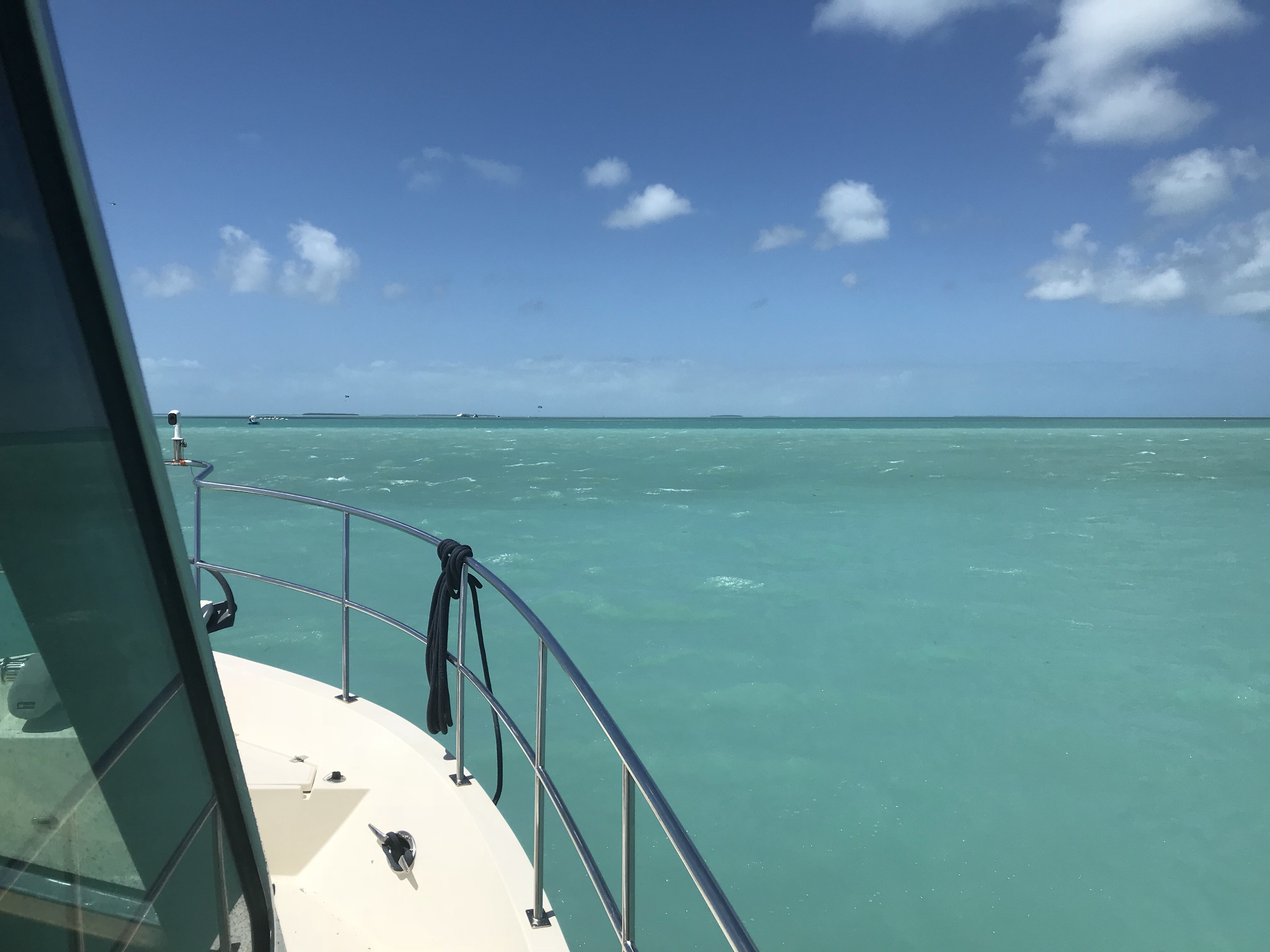
The “color of the water” is a phrase I keep saying here in Key West. I’m just not used to seeing such bright greens and blues.
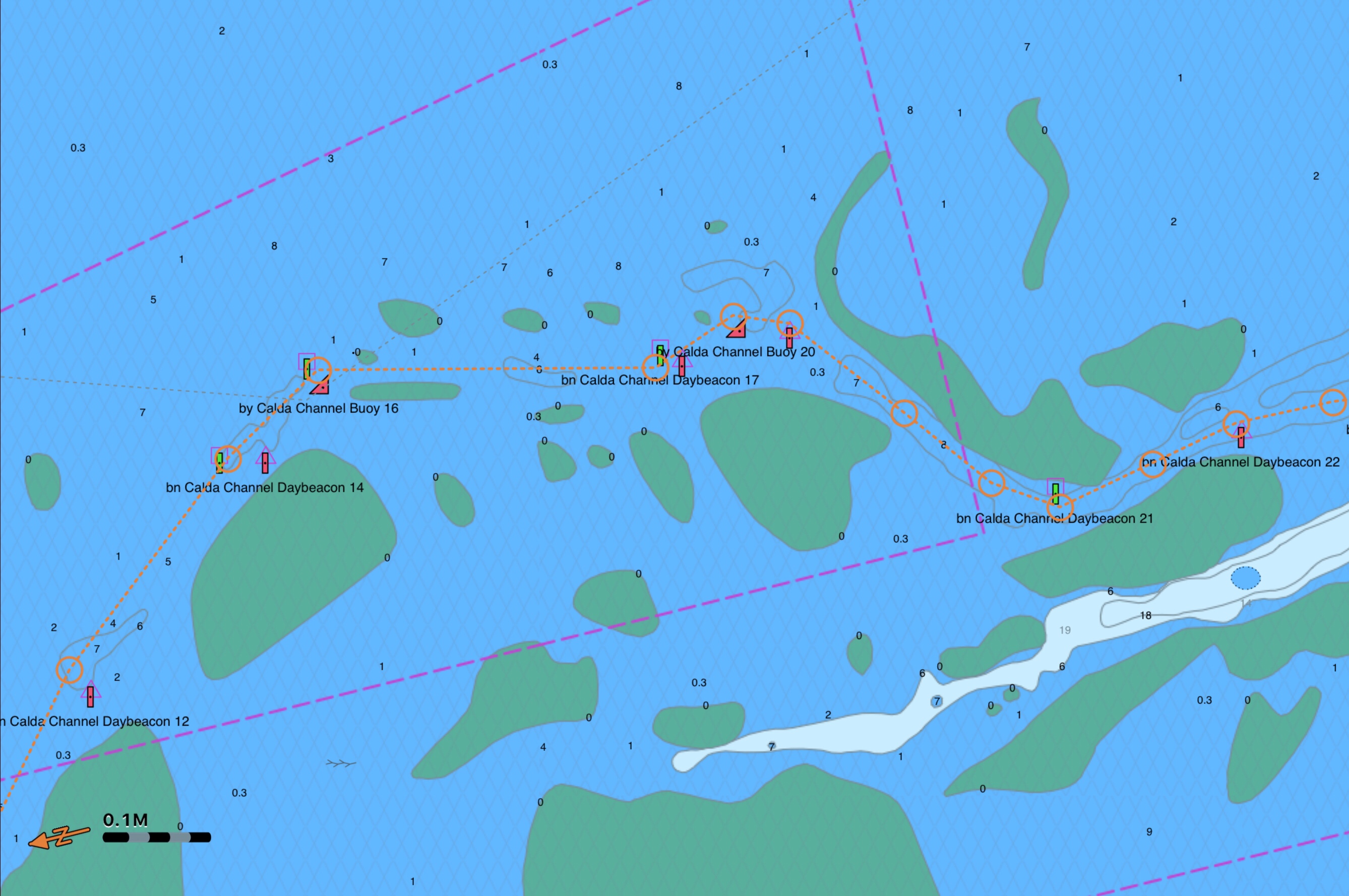
We followed a route that kept us in the deeper water for ease of navigation until we passed Cudjoe Key where we turned into Cudjoe Channel to navigate over the 5-6 foot depths to Crane Key. The Cudjoe Channel entrance daymark and buoys were missing, forcing us to keep an eye on our location to the shallows.
Crane Key turned out to be just a small key with scrubby, low vegetation. As the sun went down it was time for refreshments on the bow.
As the sun set, the 98% full moon rose. It seemed so bright in this remote location you might mistake this picture taken at 8PM as the sun.
Very early the next morning I snuck out on the back swim platform to do some night fishing under the moon streak. Luck had it and I caught a few fish!
We tossed this beast back into the sea and then began the “What kind of fish was that?” research. Thankfully, the internet is full of webpages as well as smartphone apps that help with this.
Identifying the species is just the first step. Next you need to figure out the fishing regulations for the state you are in. Size restrictions, open/closed seasons, etc.
I search the Apple App Store and found a great app called “Fish Rules App”.
We left Palm Beach in the morning and continued South down the ICW. I had plotted a short leg and that turned out to be a good thing as we were getting a late start and would encounter many ‘restricted’ bascule bridges that only open at set times after the hour.
Come on bridge.. open
Just starting
OK go quicker before we trim off the flybridge
We past several bars that looked like fun places to tie up for a bit.
No signage on restaurant but still packed
Banana Boat restaurant in Boynton Beach
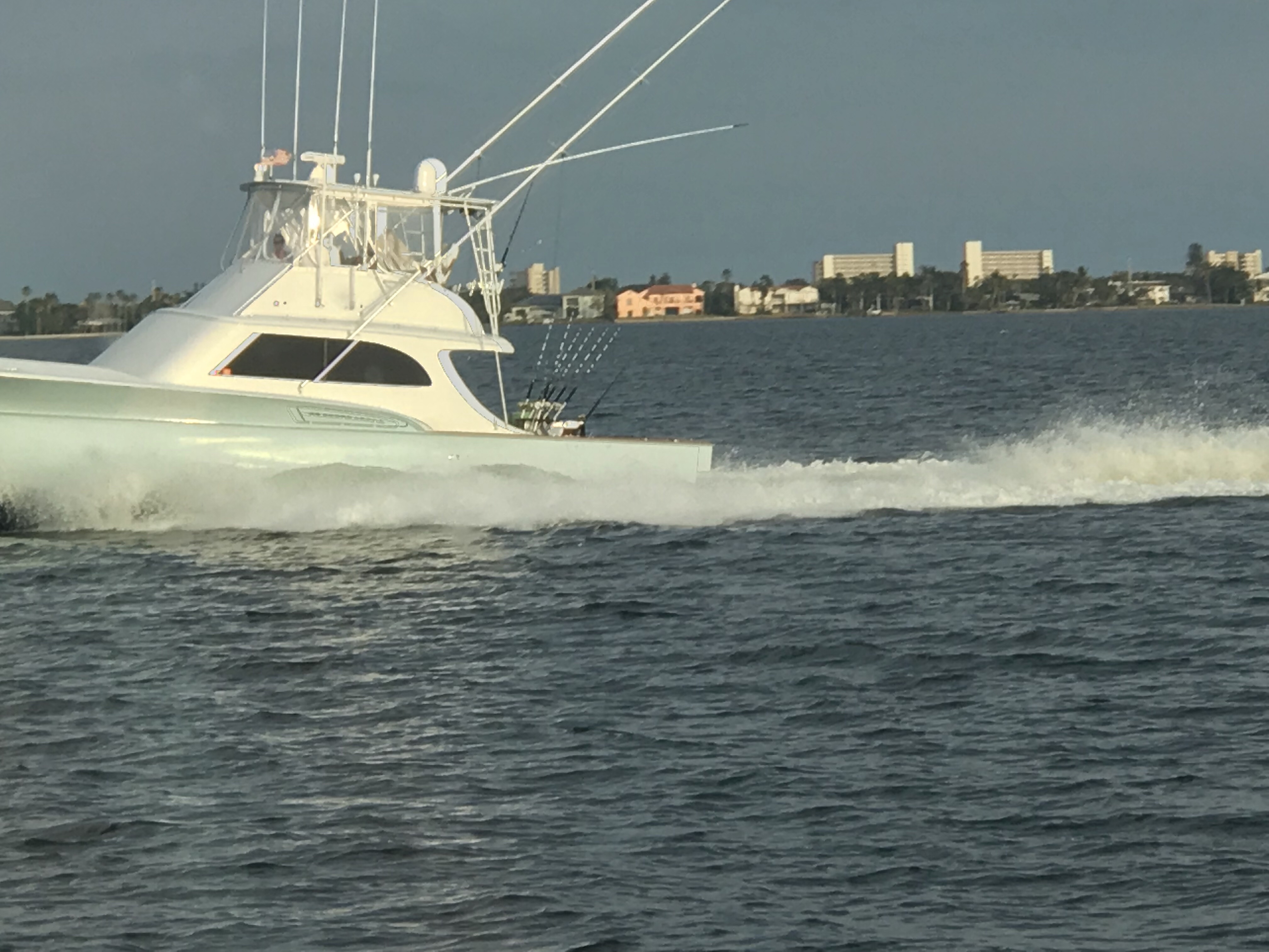
There was lots of traffic on the ICW and we watched many boats pass us.
More wave runner ladies
What you don’t want to go 6 knots?
Bluefoot pirate boat
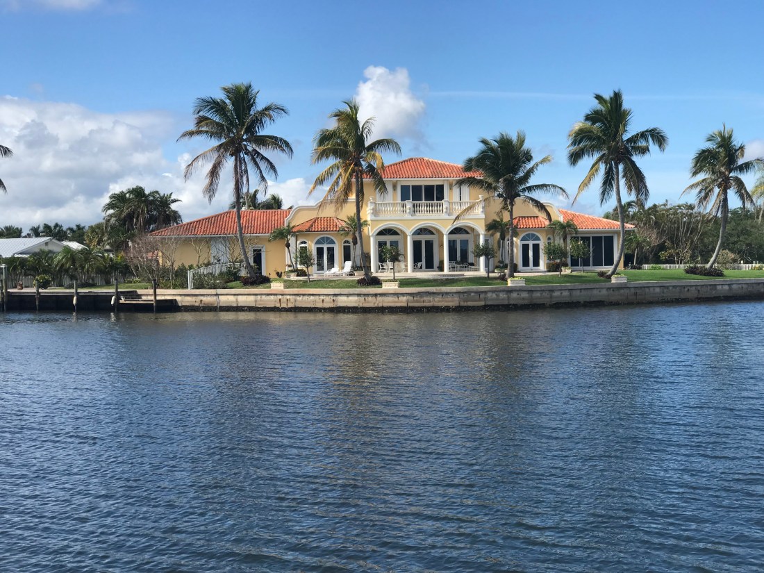
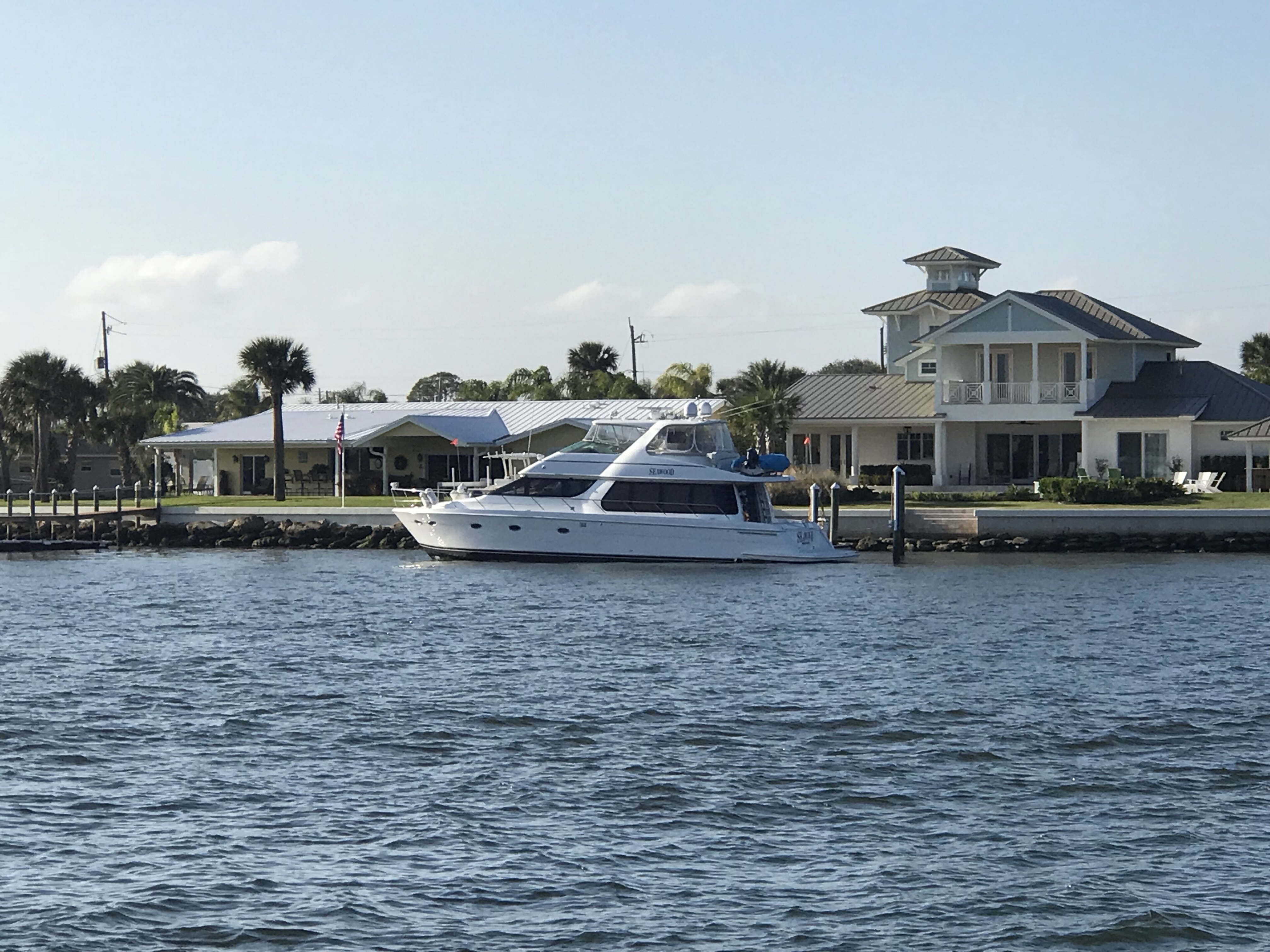
We also saw many boats just tied up in front of amazing homes.
MV Checked Out a 96′ Westport
Who needs 5 Outboards
Cabochon – a polished but un-faceted gem
MV Sexy – I’m not sure about the red painted electronics
Can you put a whale tail on my yacht?
And I could have snapped 100 pictures of just amazing homes and beautiful architecture.
Just the right amount of palm trees
Love the open air arched structures
Corner lot anyone?
I’ll take my ceilings vaulted
amazing wall of windows with the blinds pulled. Solarium anyone?
Nice iron work
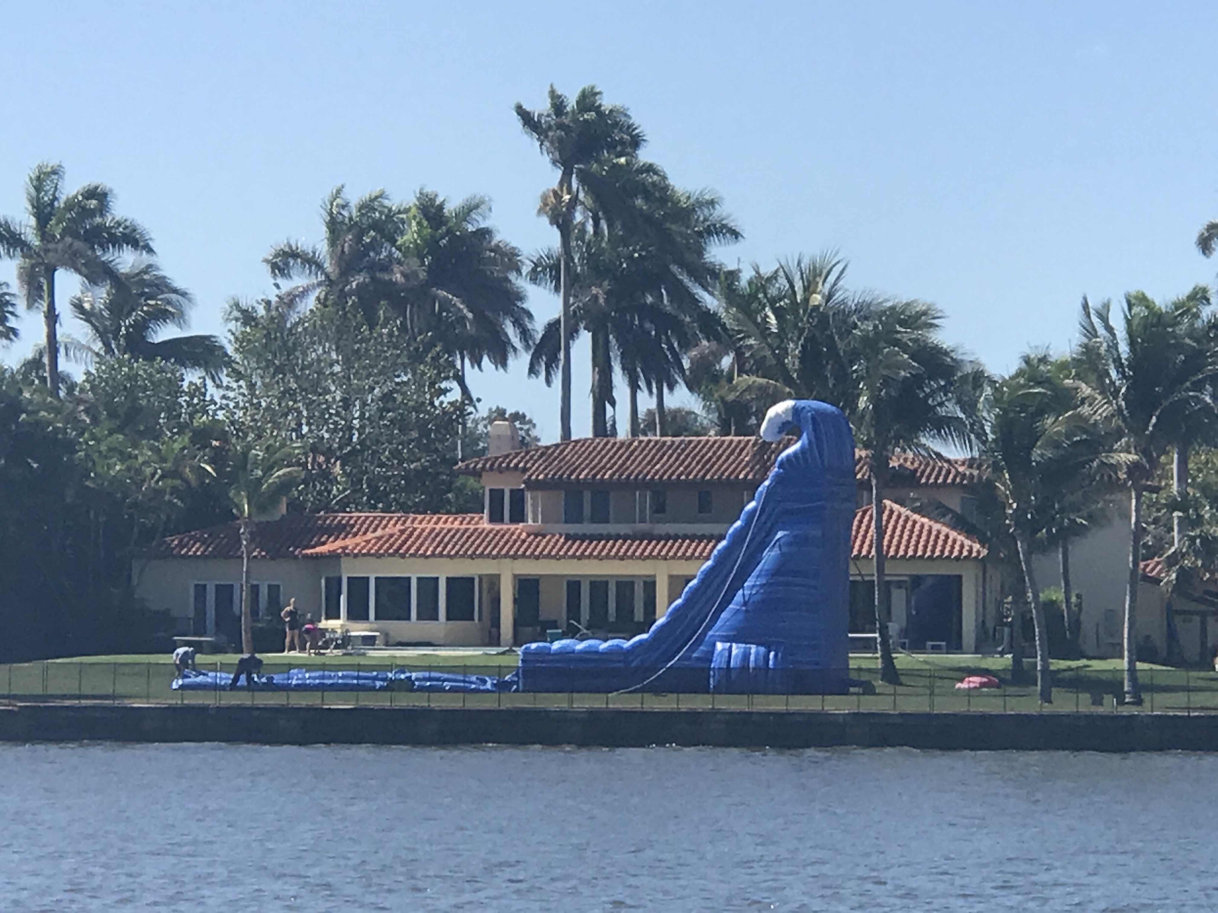
Then there was this.. Hey Mom & Dad can I have a water slide setup in the back yard for my 8th birthday?
Umm.. I think you slide is taller than your home.
The flag below @ half mast reminded Kelly & I that we are only 12 miles or so from the school shooting in Parkland, FL. When will this new form of violence cease? I believe that all human consciousness needs to communicate. We all need to look after each other to remain healthy. Example: when a child is bullied/alienated in school (or a coworker @work) that is the time that people need to reach out with kindness and listen. We are all connected via social media and it will either save us or tear us apart, be kind.
Flag @ half mast
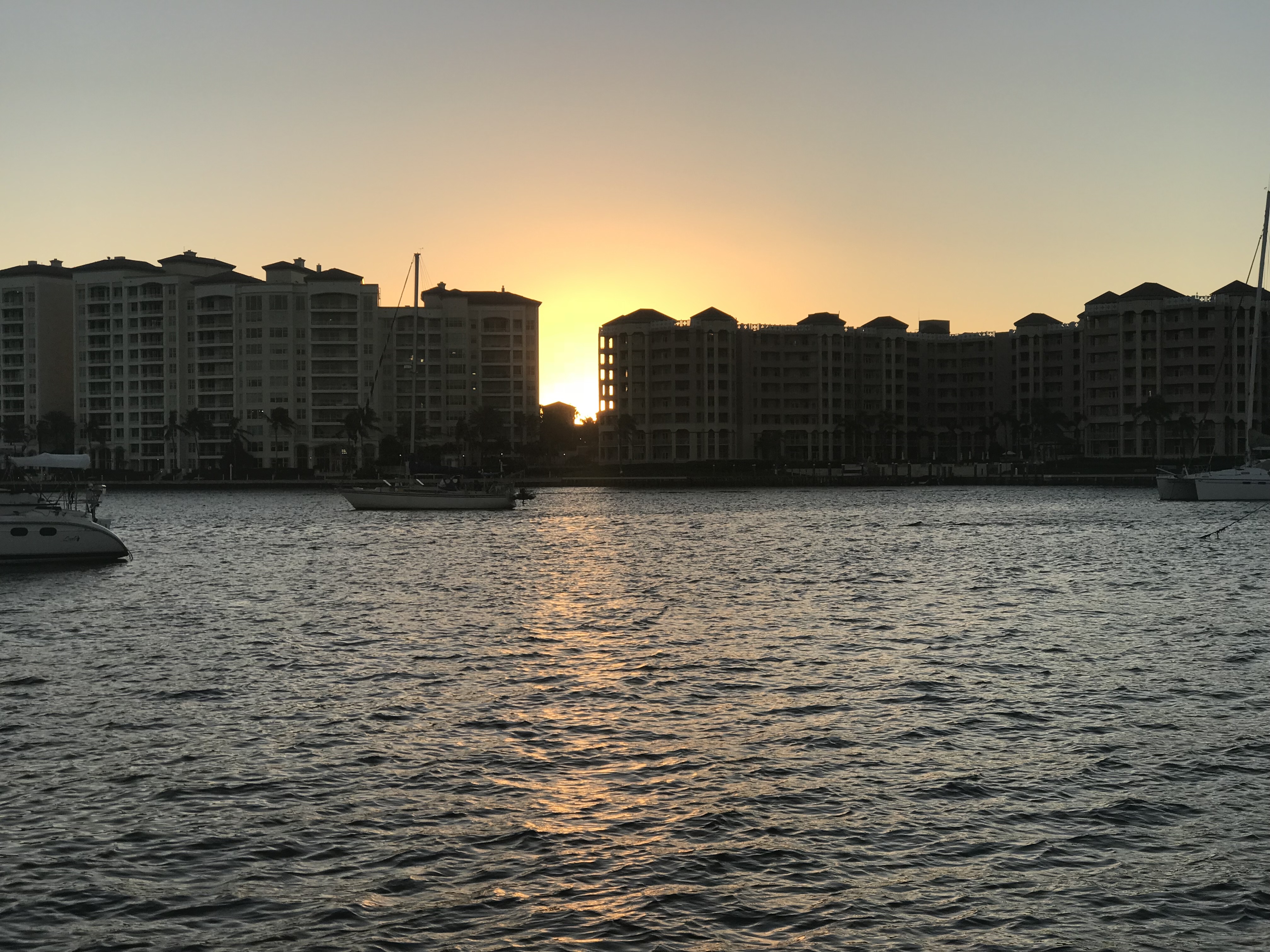
As we sit in the aft cockpit and take in the day the sun is setting between two high-rise buildings.
Sunset between the high-rise buildings
and we watched as the sun climbed high on the tall buildings before disappearing.
The route leg from Jensen Beach to Palm Beach was beautiful but crowded with boat traffic. This section of the ICW is lined with expensive homes.
Some of the homes are situated on “fingers of land” that have these straight water fairways lined with docks.
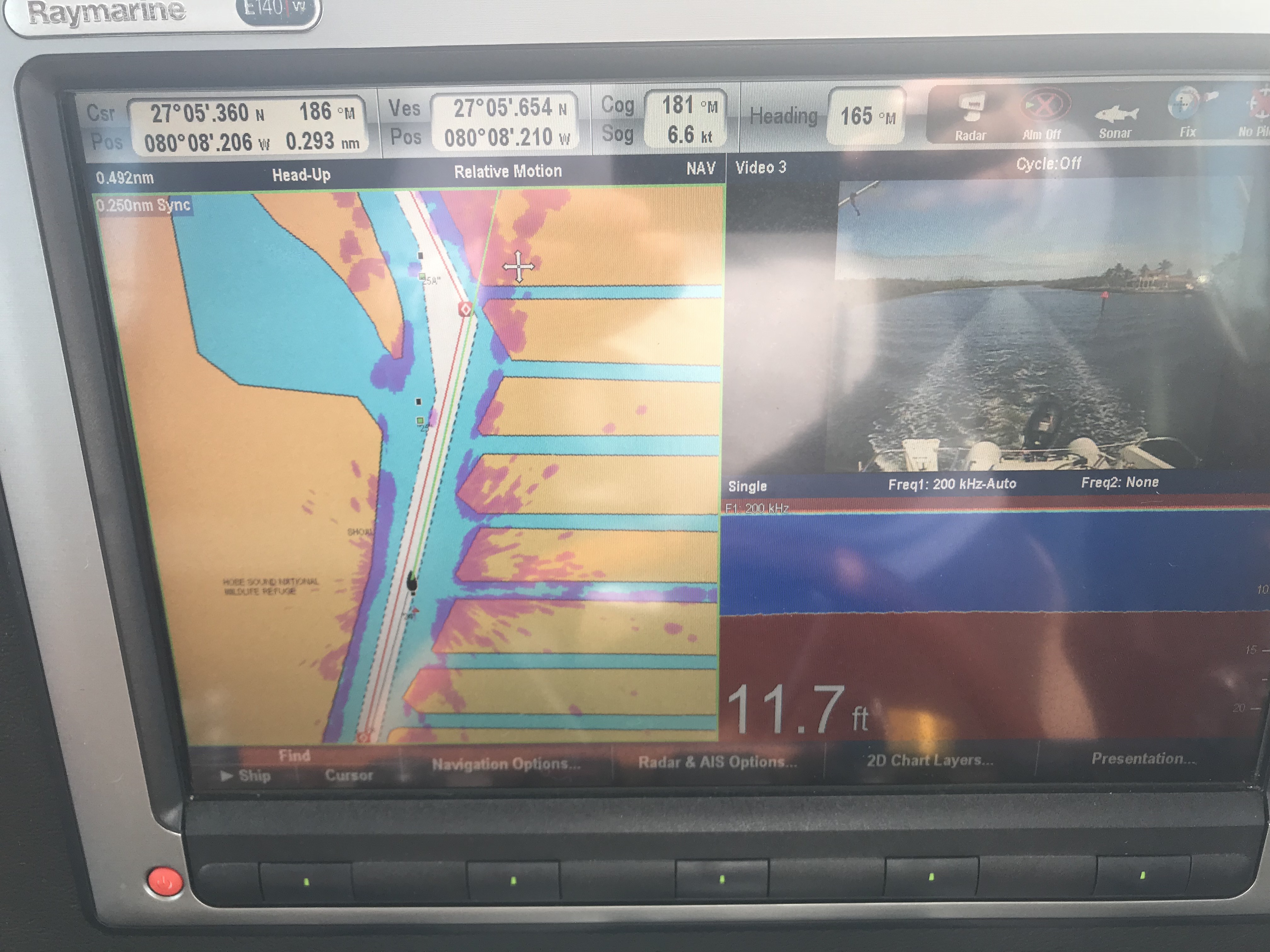
Fingers of land, flat bottom surface and a close pass by the red daymarker
Water Fairways
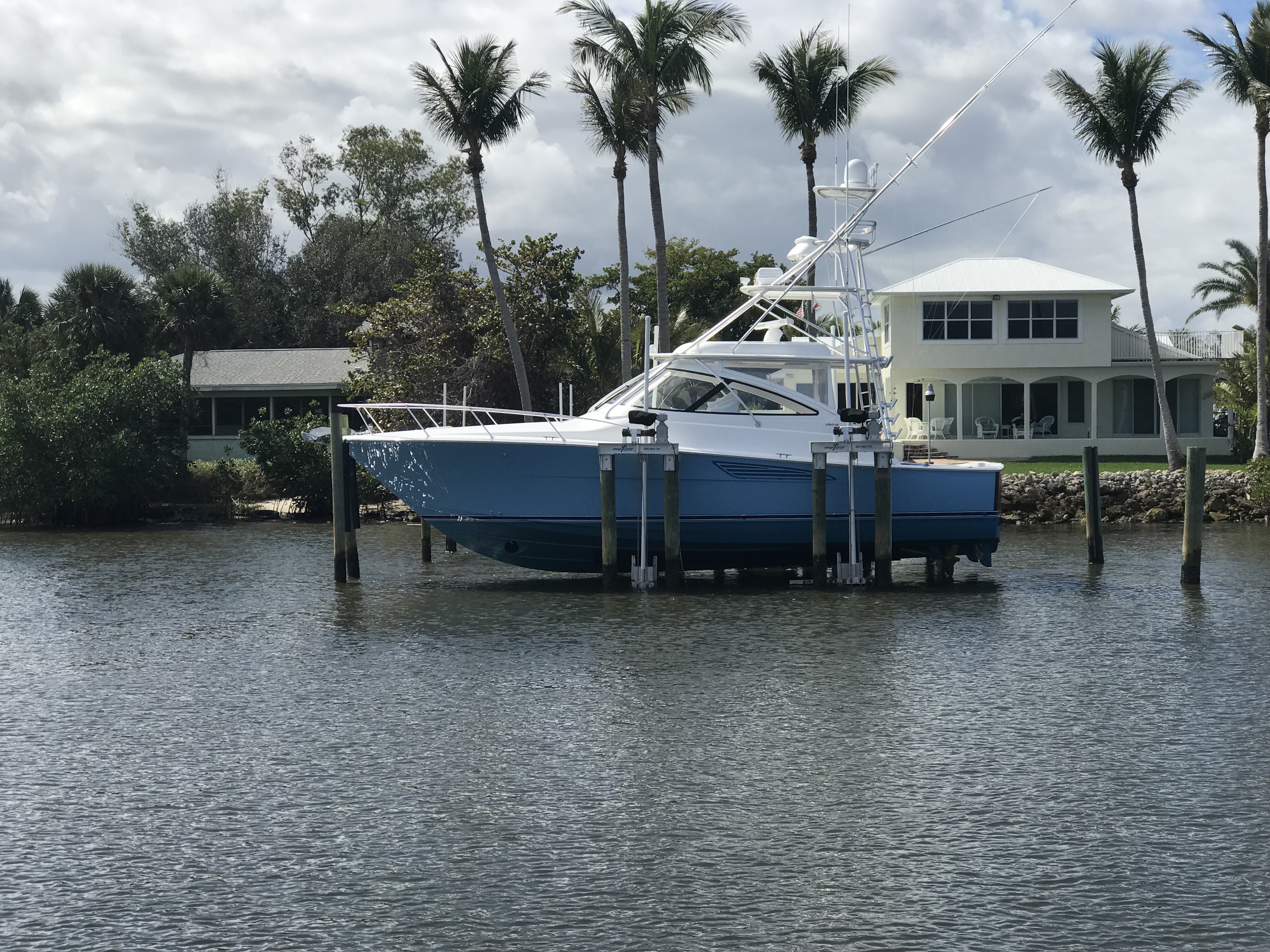
The speed along the ICW changes back and forth between “Idle – No Wake” in manatee zones and “25MPH in Channel” zones where boats are allowed to produce more sizable wakes. With exception of only a few homes the standard solution for docks is to use boat lifts. Kelly & I wondered if M/V Simple Life is too large/heavy for a boat lift. I joked that anything it “technically possible” even if not the norm. As we travelled South we saw boats almost as heavy on lifts.
Boat Lifts:
Viking model/size unknown
Hinkley – supported by stern only. I dare you to stand on the bow.
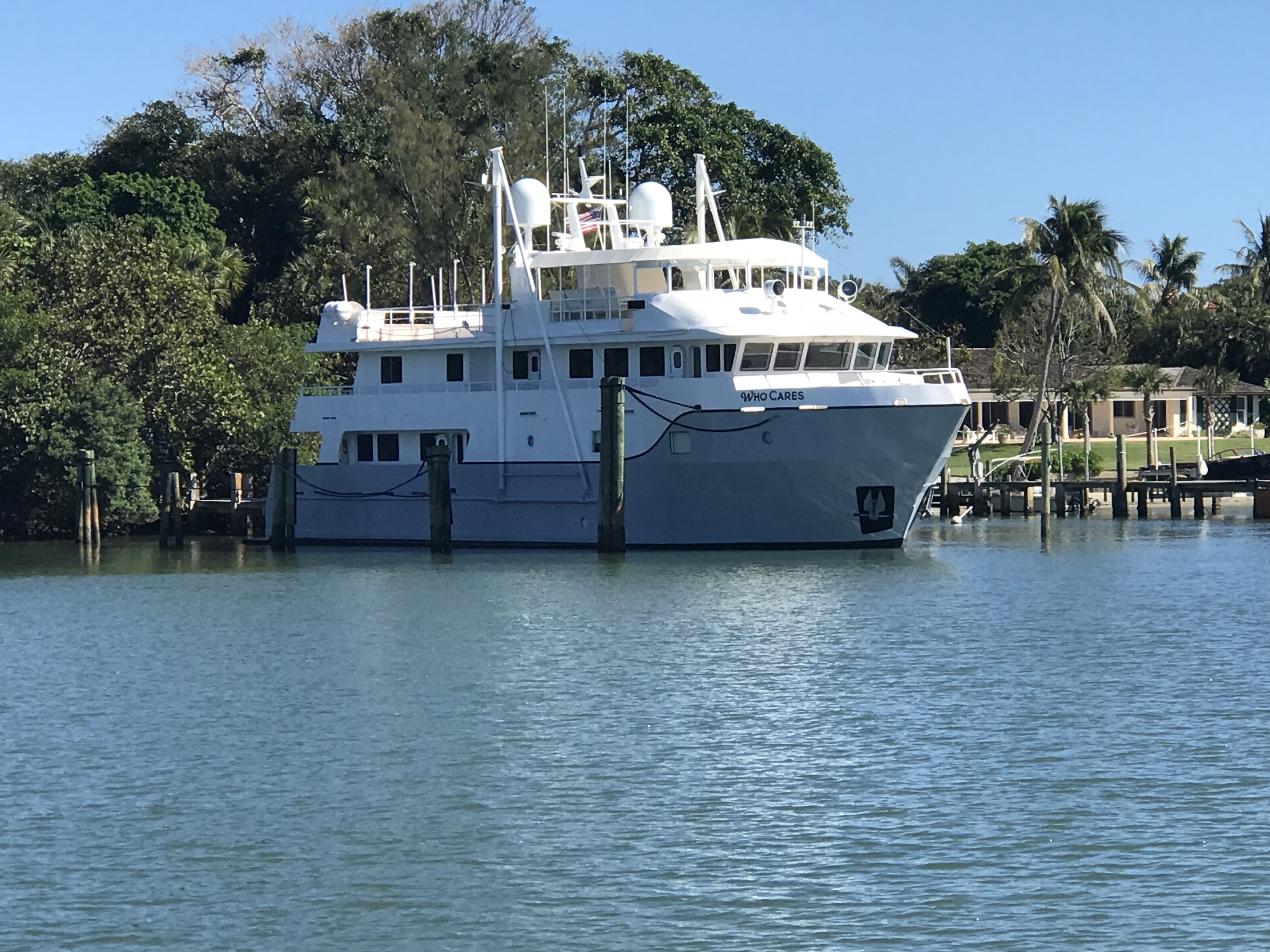
Then there are those folks who need a boat that is just a bit to big for a boat lift.
M/V Who Cares
We even saw Grand Celebration moored as we made our way around Peanut Island Park in Rivera Beach.
The Grand Celebration is a Bahamas Paradise Cruise Line cruise ship, originally built for Carnival Cruise Line
Not sure what you call this type of boat?
We saw many wave runners enjoying the great weather.
That’s some ‘bad hat’
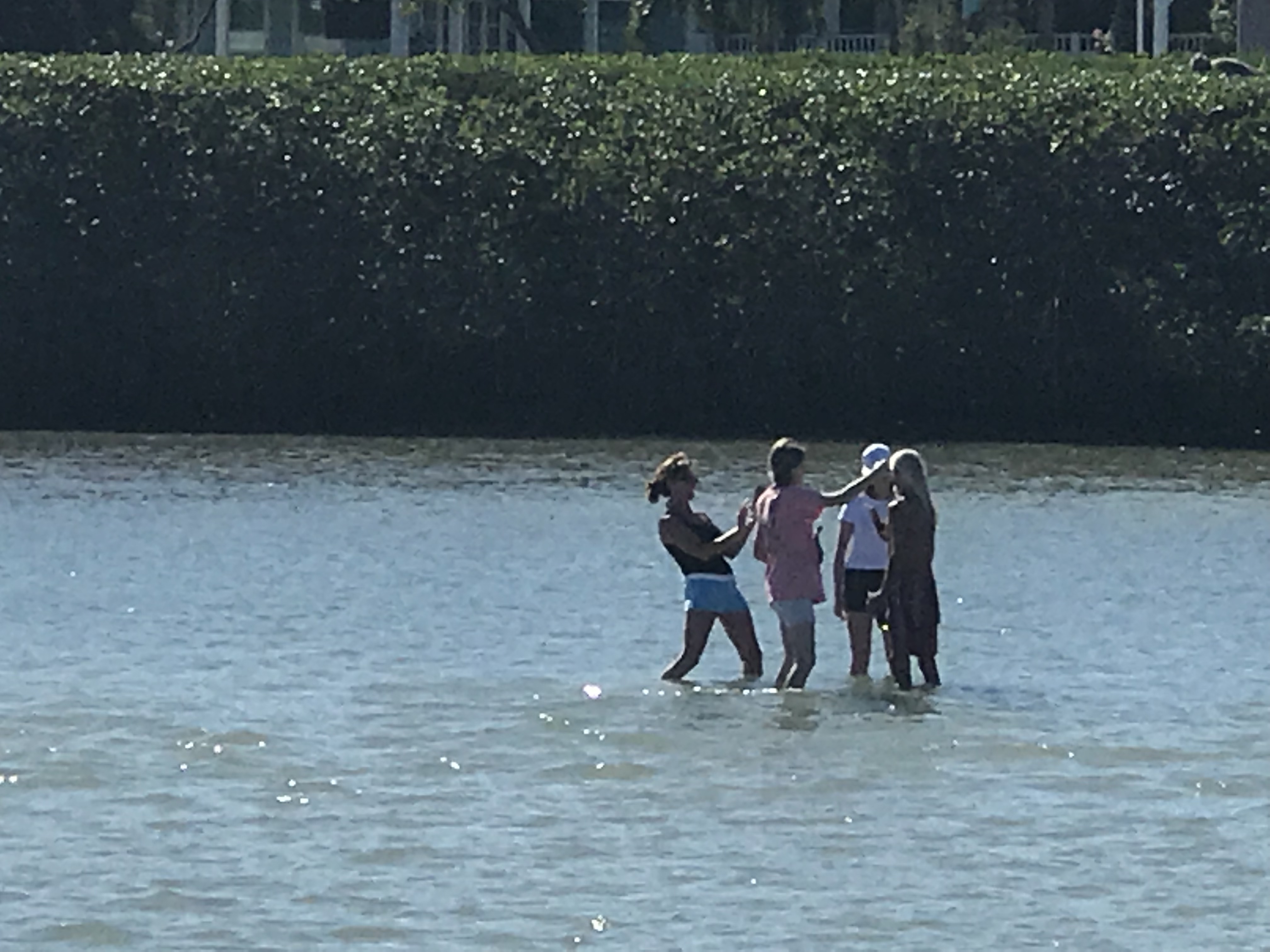
Sandbar People:
These ‘Sandbar Girls” were having too much fun taking selfies on one of the many sandbars that line the ICW channel.
Sandbar Girls
Maybe this crew should have paid more attention to the sandbars?
I love that while they are coming up with a plan the trolling motor is spinning away on the bow
We almost stopped early in the leg to anchor at Peck Lake but many of the anchorages were crowded along the way.
Peck Lake anchorage just South of Port Lucie Inlet
As we approached Palm Beach where I planned to anchor I wondered if my pre-selected anchorage would be full like many we passed along the way.
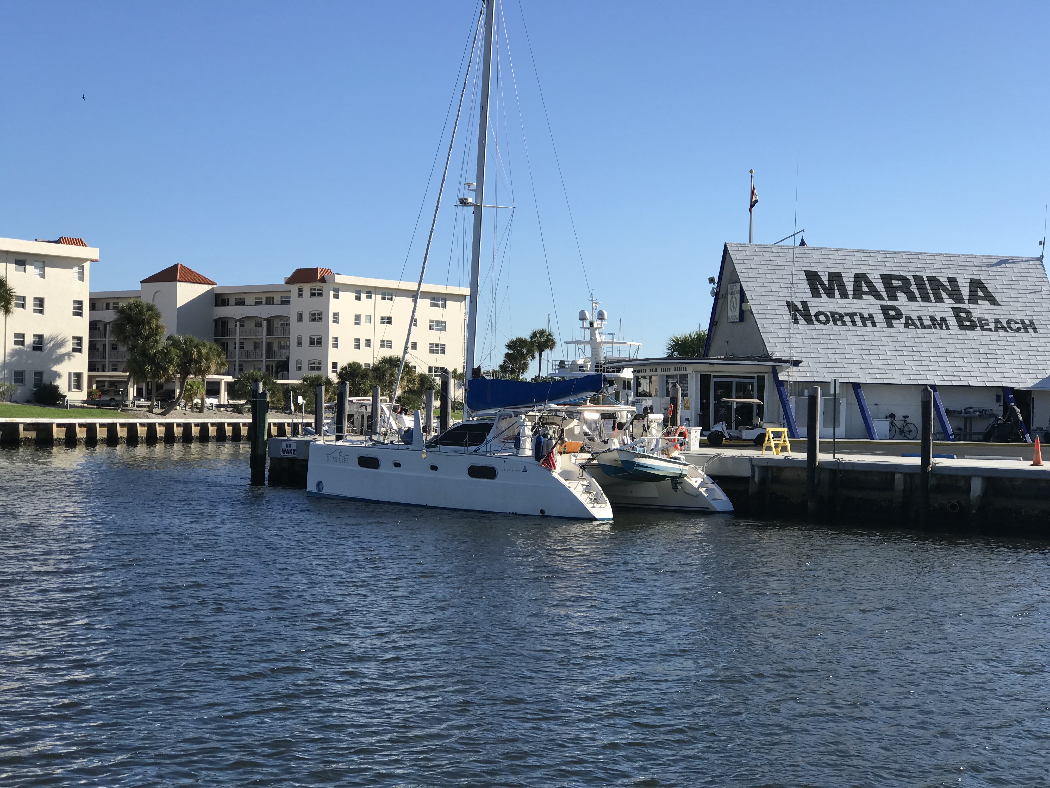
Catana 431 with a hard catamaran dingy in North Palm Beach
Tight Anchorages:
My concerns we justified when we arrived and struggled to find a spot with enough swing room for us with the strong reversing currents. The captain on the catamaran made a face at me as I noisily lowered my 90# anchor and all chain rode. I don’t agree with making faces at people when you think they anchored too close to you. I have always thought … Everyone is free to anchor in a free anchorage. Fairness is whomever gets there last should pickup anchor and leave if swing room becomes an issue. Barring that some idiot has not let out twice the recommended scope to be “extra safe from dragging”. While I have been known to let out more rode than needed in an empty anchorage, should it get crowded, I’ll be the first to shorten scope before dinghying over to that boat which anchored after me asking them to shorten scope or weigh anchor.
Anchored:
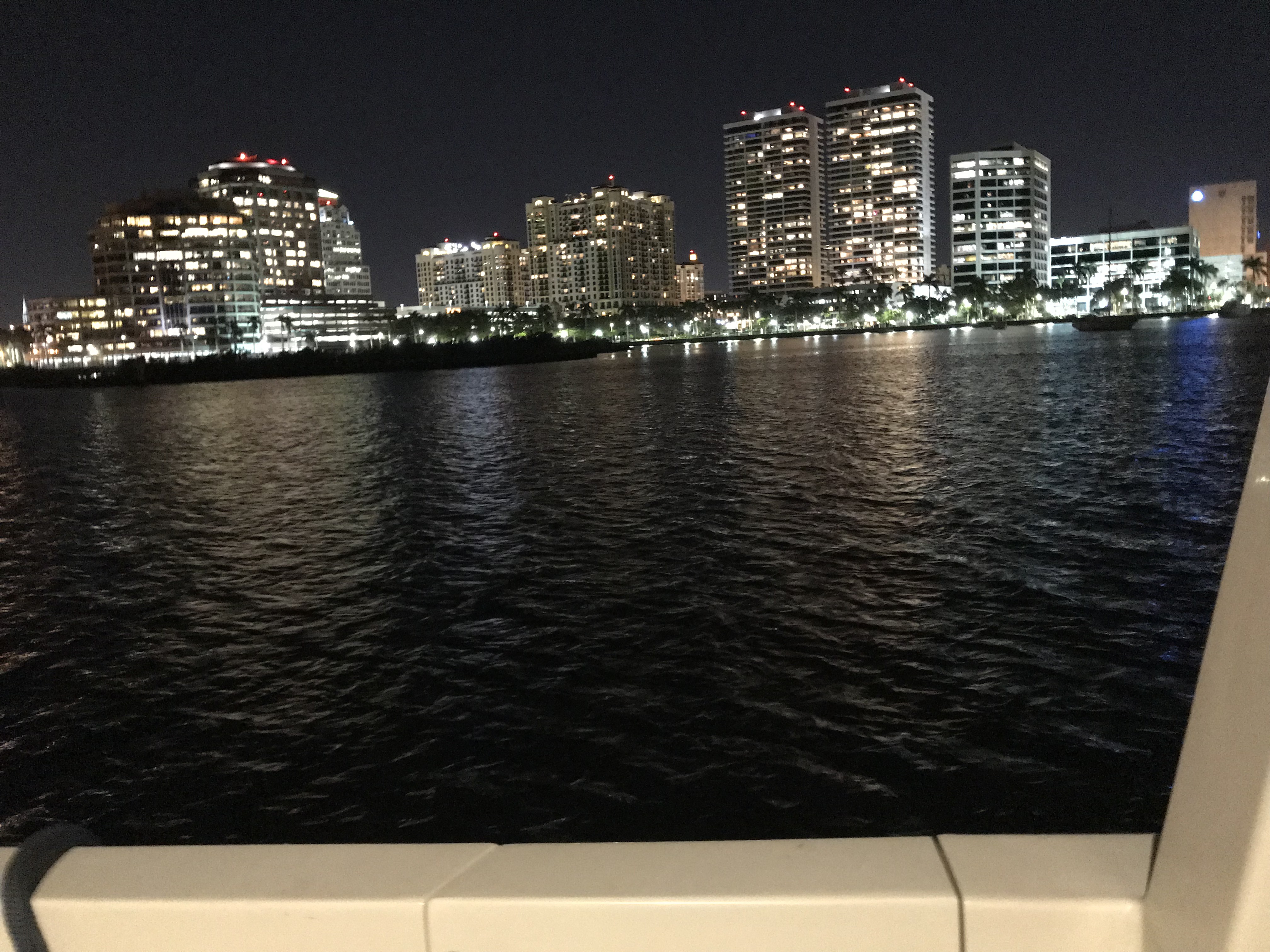
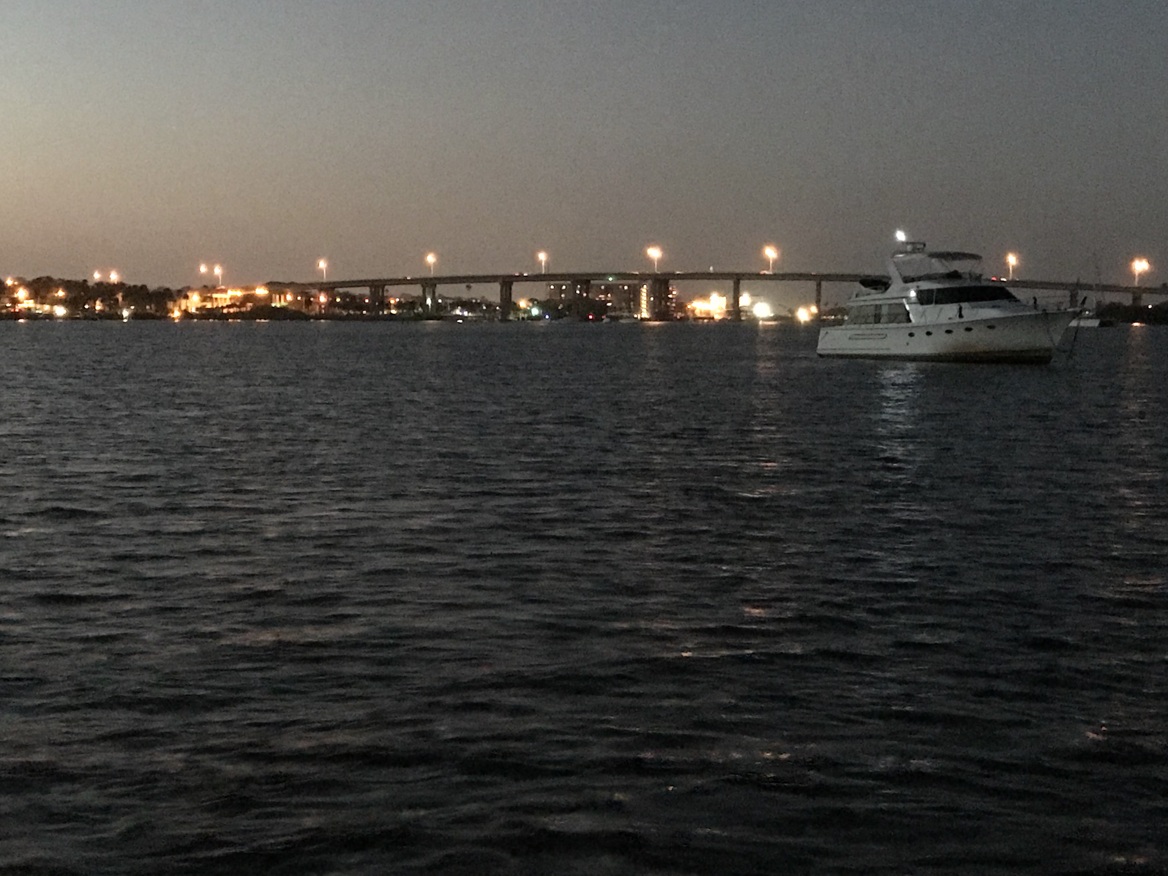
Once on anchored, we had a great view of the high-rise buildings during the day
as well as at night.
The bridge was something to gaze at as well, being lit with glowing lights.
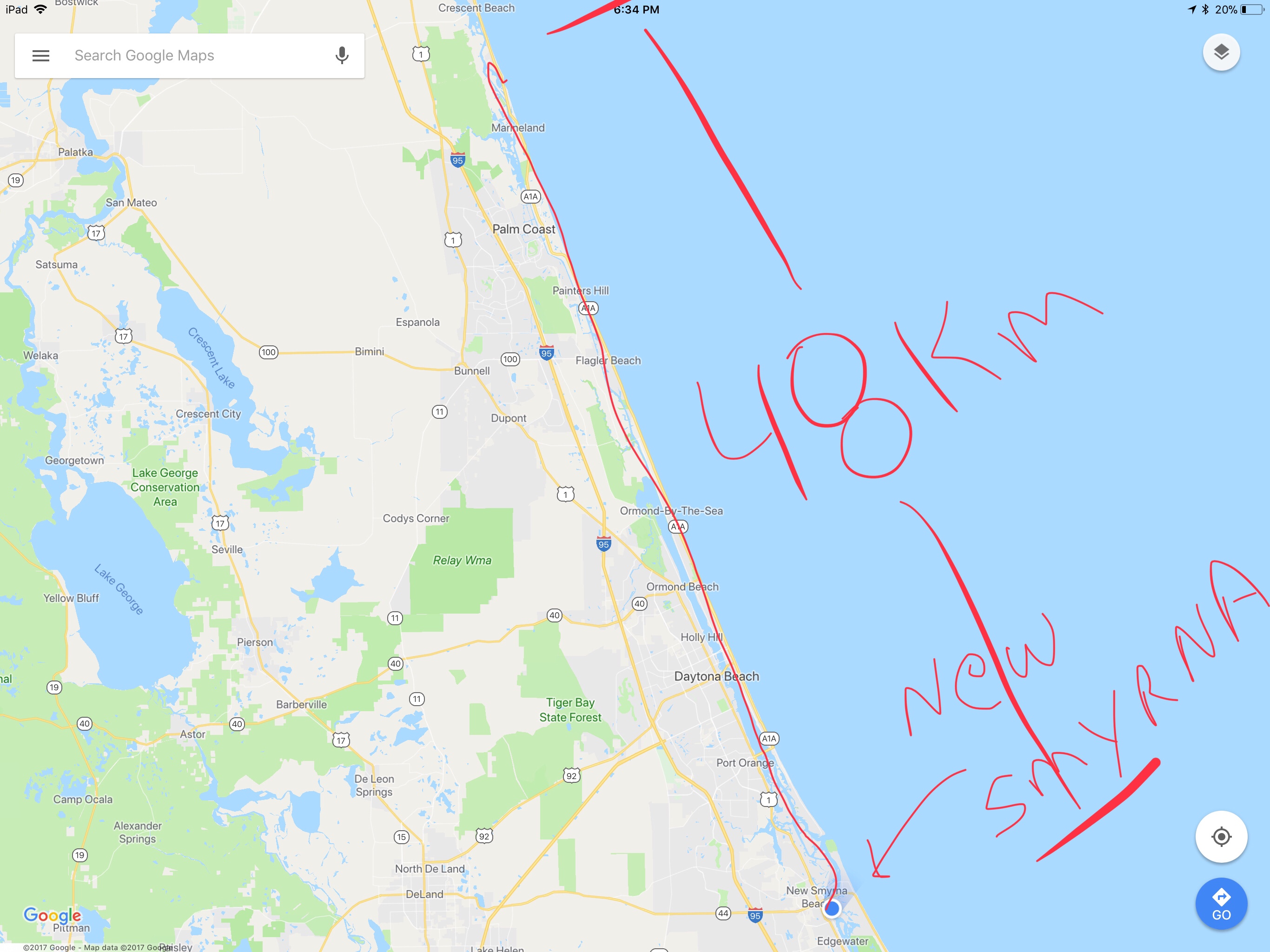
We weighed anchor about 8:30AM and pushed hard all the way to New Smyrna, FL.
48 nautical miles is a long run for us. We ran at about 2.0 Gal/Hr @ 7km/hr. We started with the current with us, then against us and finally with us again.
I read in Active Captain that they offered free tours of this fort. I wish we had more time (maybe on the return trip?).
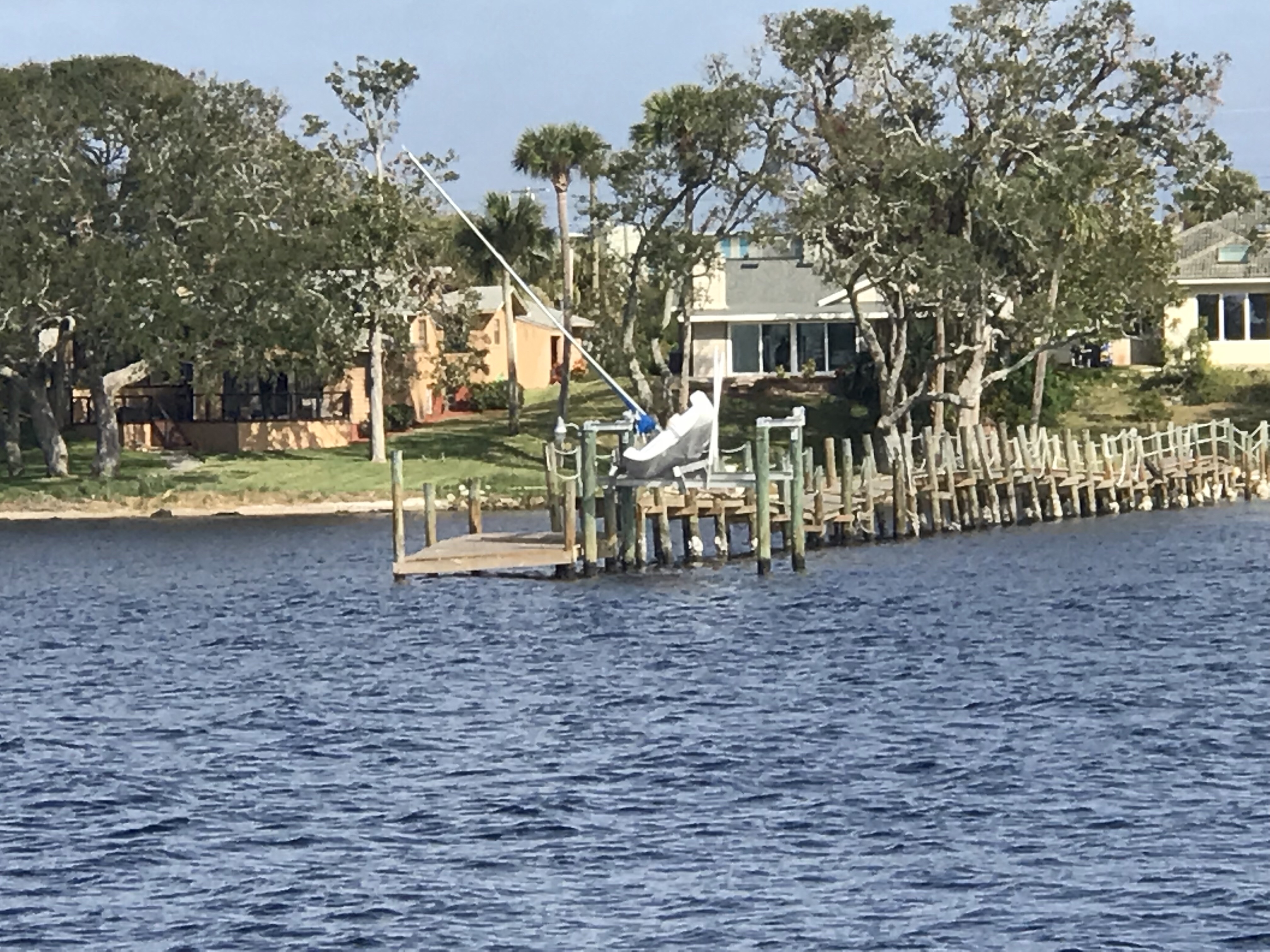
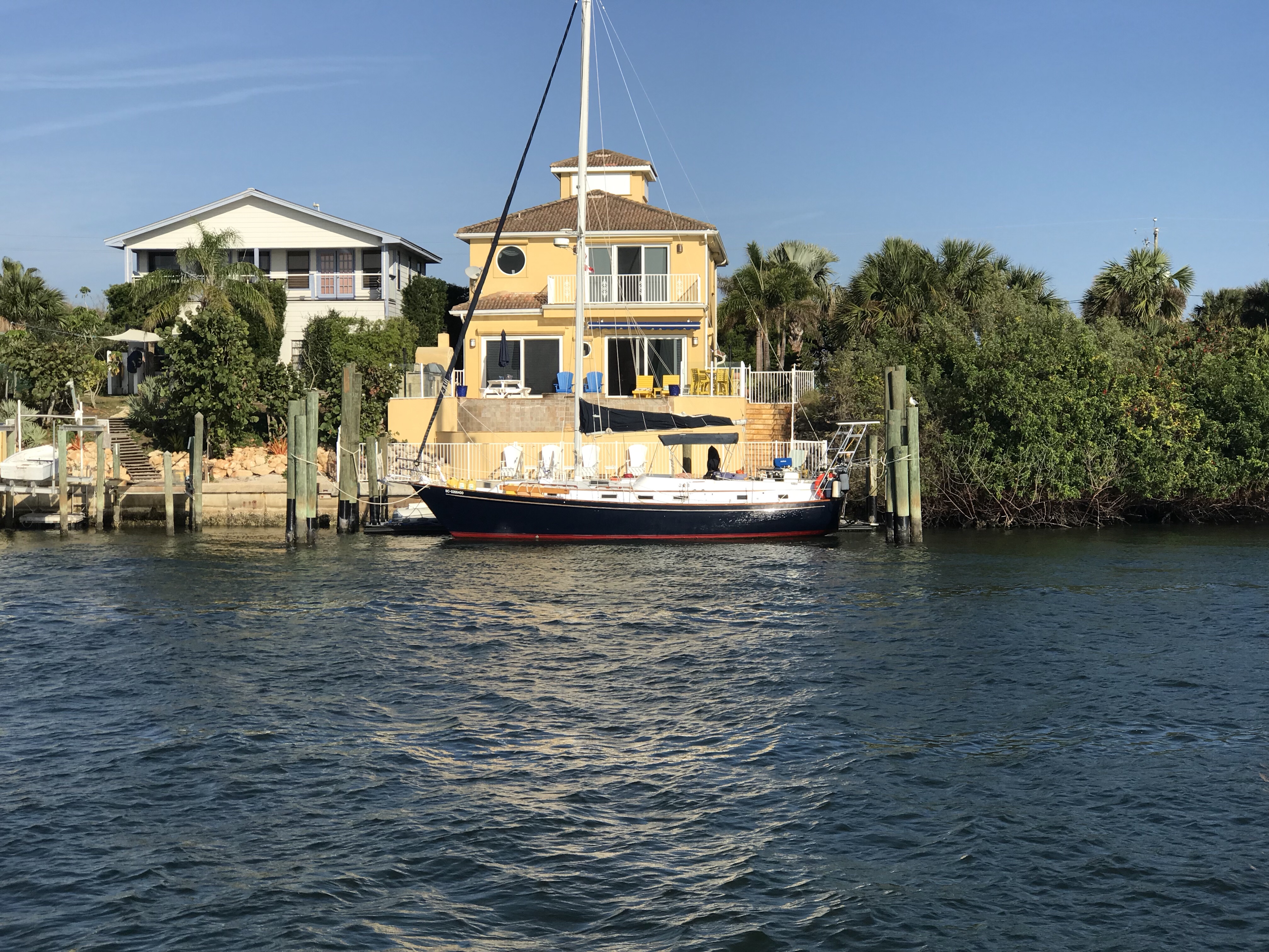
Today’s trip took us by Daytona Beach and it was full of beautiful houses.
Who are these people who have homes in such a beautiful place?
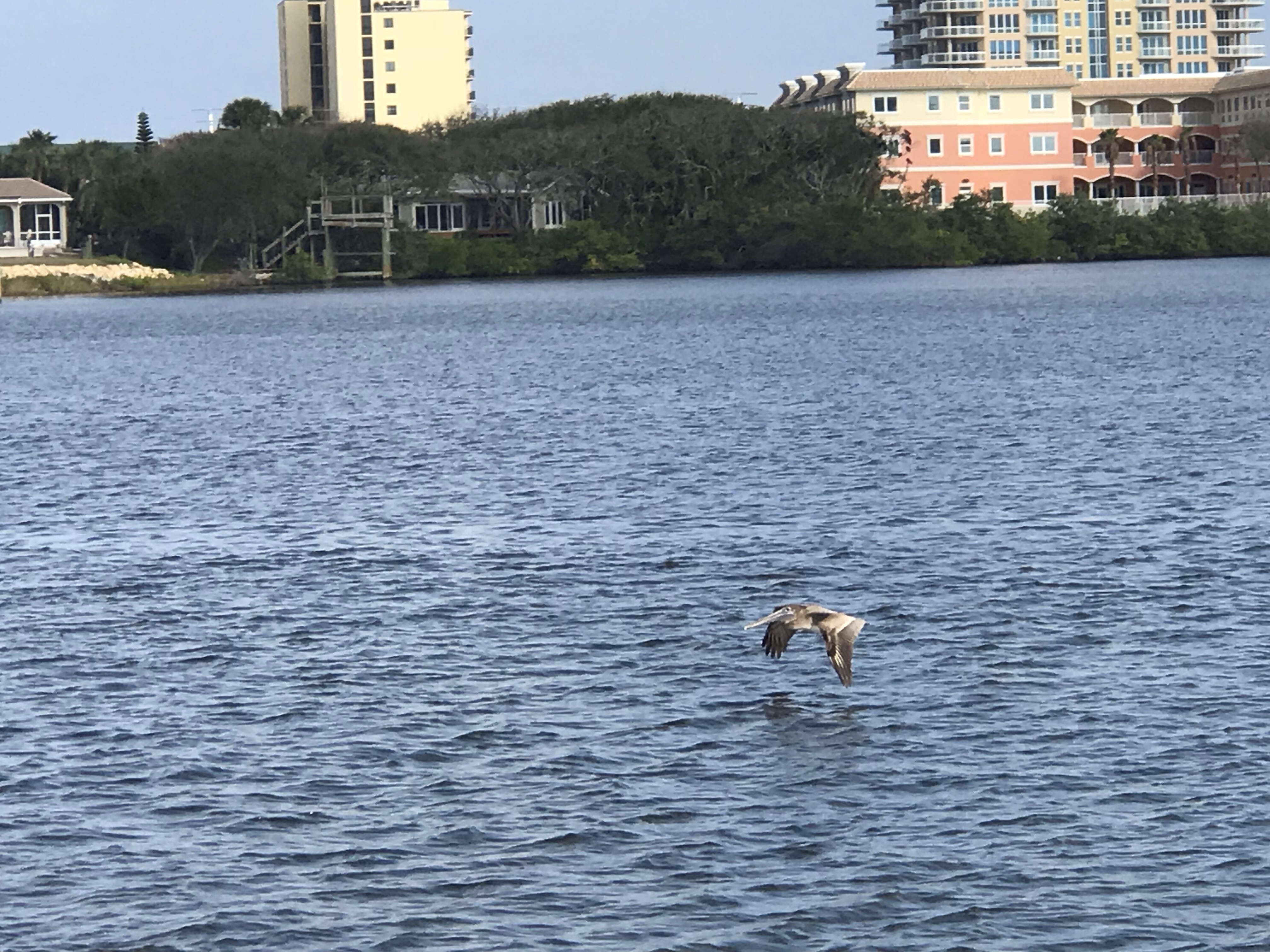
Along the way Kelly & I tried our best to capture some of the birds that flew by.
We saw an airport that was pretty busy with small planes taking off or landing every few minutes.
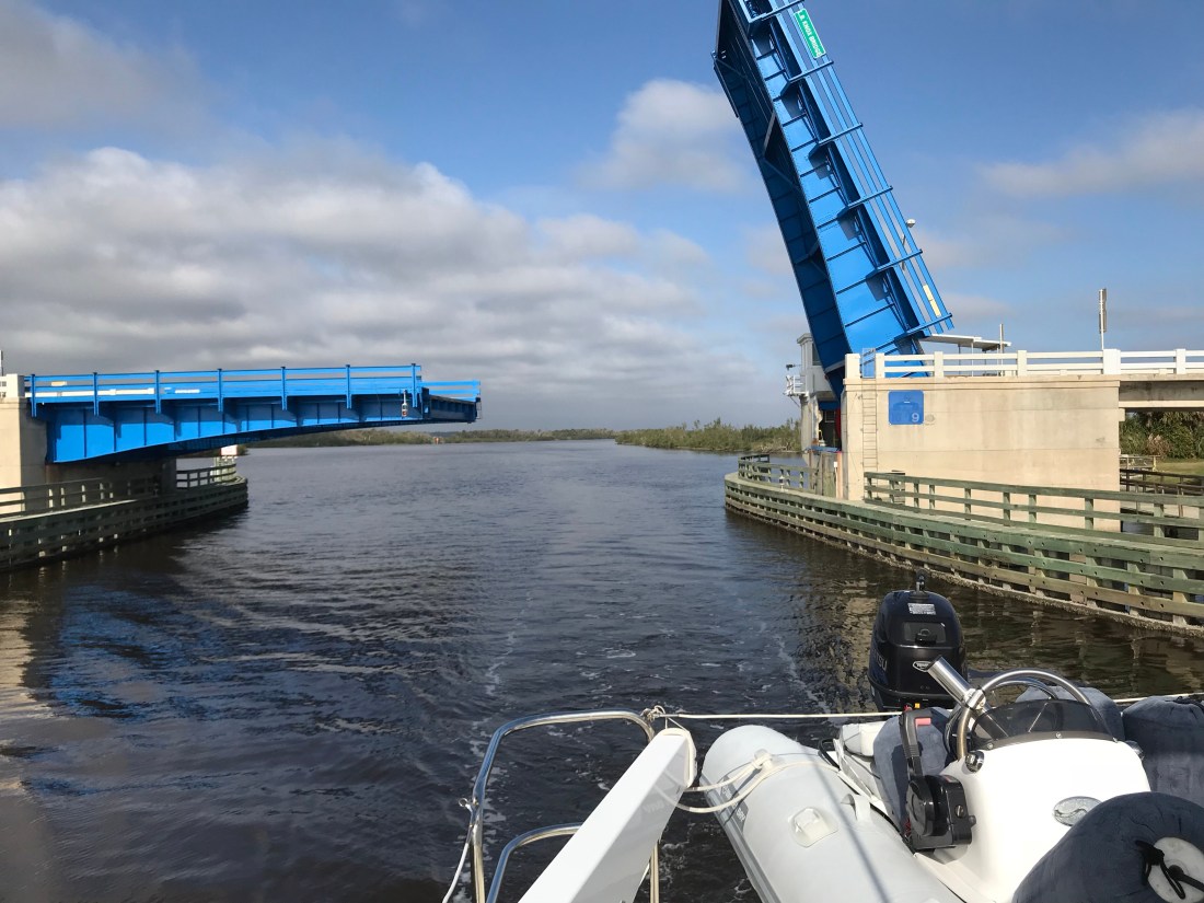
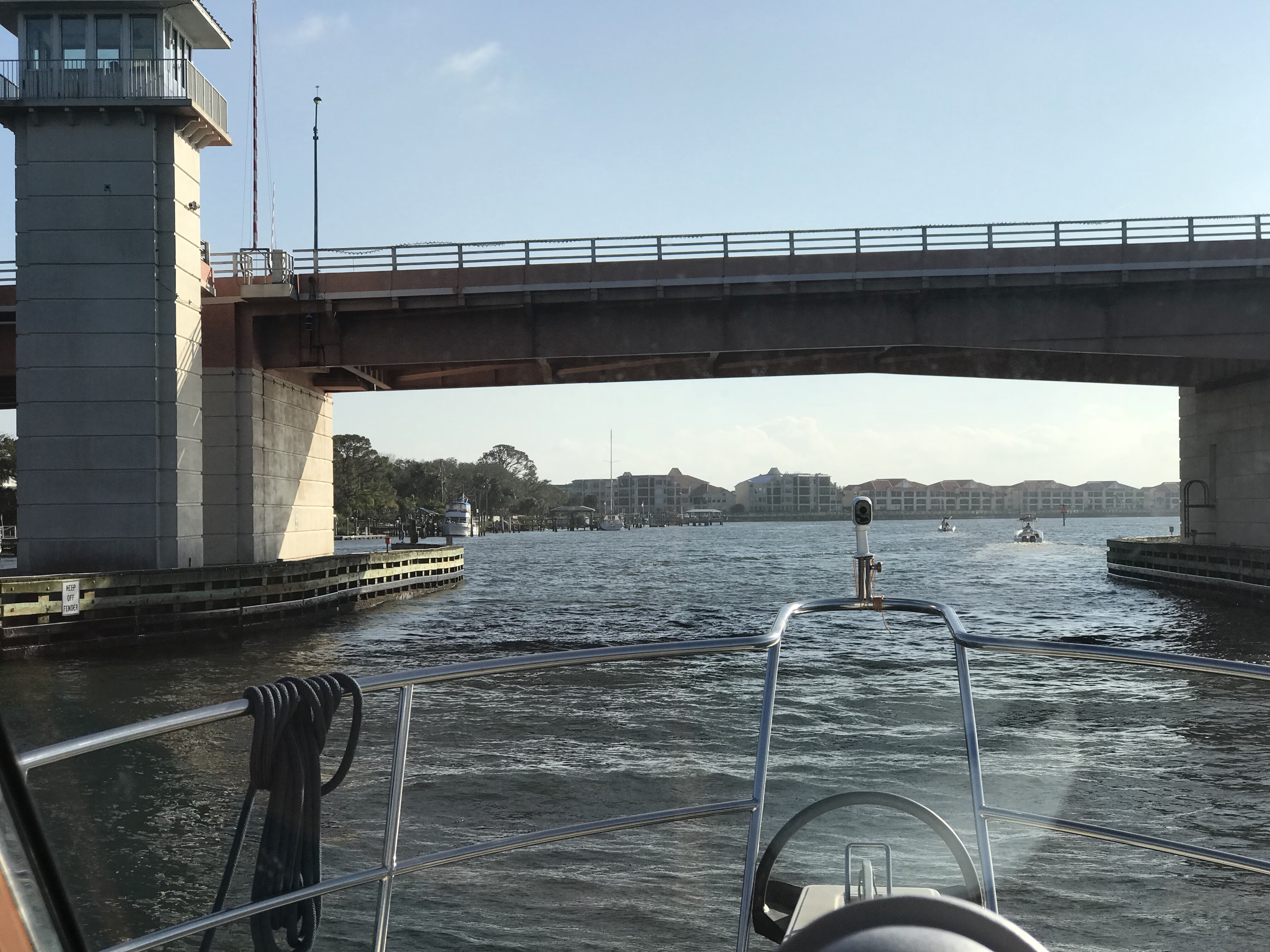
The bridges were many but most opened on demand. This bridge was the first that only opened on one side. As you pass under you worry that you wont hit the bottom of the bridge or the unopened edge.
There were some nice bike / walking paths along the waterway and this woman and her dog were enjoying the day.
We anchored along the side of the ICW alongside everal other boats and now it’s time to play some music, bake some cookies and drift off.
Well, the no name island anchorage in Jacksonville, FL turned out to be very peaceful. Thankfully the strong current of the St. James River was not an issue behind the island.
We left that peaceful anchorage and retraced our path back over the 4′ bank that was not a problem this time due to the high tide that we left on.
As we made our way back down the St. James River we were reminded of all the commercial shipping that lined the river banks.
Our trip from Jacksonville to St. Augustine looked something like this.
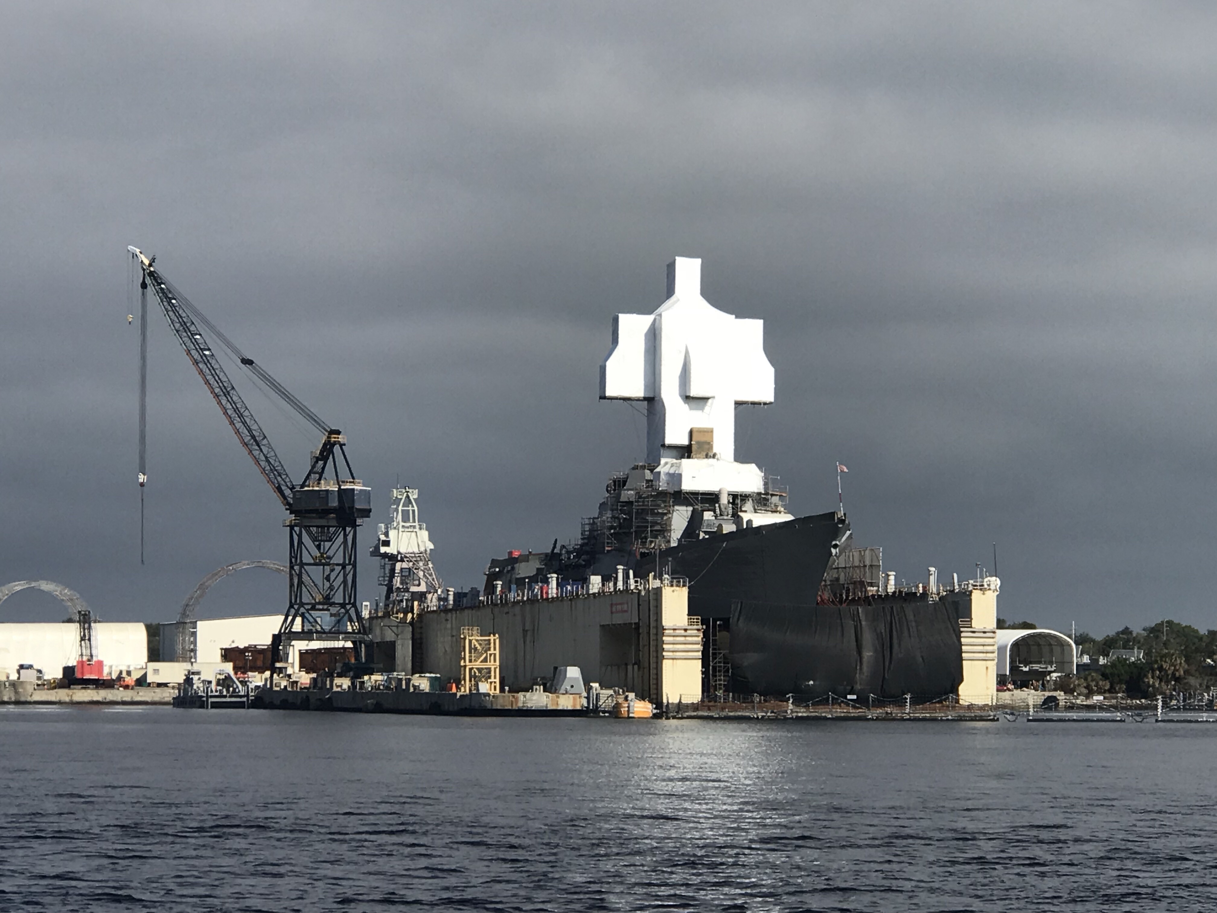
As we departed the St. James River and got back onto the ICW we saw a ship in dry dock that had it’s bridge tower staged and shrink wrapped. It looked a lot like the navy vessels that were being worked on in Norfolk, VA.
A bit further down the ICW and it was back to beautiful homes lining the river banks.
We loved that someone put a festive scarf on their T-Rex. Who has a T-Rex in their backyard?
After a short trip down the ICW we came to Camachee Cove Yacht Harbor. A great little marina along the ICW.
We had reservations at the marina but when I hailed them on the VHF radio the let us know that we would have to anchor for an hour and wait for the tide to come in a bit before we could enter the marina. The entrance channel did not have enough water for our 5′ draft due the the tides and the recent West winds. When the wind blows from the West it pushes all the water in the ICW out of the inlets and back into the Atlantic Ocean. We decided that after 5 nights being on anchor we would spend the next two nights in a marina. We waisted no time and found a great little restaurant that was within walking distance called the Kingfish Grill. They had a great shrimp & scallop Alla vodka for me and an angus burger for Kelly. Below is the Kingfish Grill’s outdoor garden that was lit up for the holidays.
The next morning we re-provisioned the boat using a grocery delivery service. Kelly used her iPhone to place her order and set the delivery time the night before. We awoke to texts from our personal shopper texting us that she was on her way to the marina and and she would be the “girl in the gray Toyota”. After re-provisioning we spent the day taking on some more water and while Kelly cleaned the inside of the boat, I washed the outside. It was 80 something degrees out and seemed odd as Christmas is just a few days away. The next morning we shoved off and had no sooner started South down the ICW and we ran into a restricted bascule bridge and had to anchor for 45 minutes while we waited for it’s 12:30PM opening. Along the river bank you could see the fortress called Castillo De San Marco I snapped the picture below.
Below is a picture of a scenic tour boat that passed with it’s fenders permanently hung off their port side. Their pilothouse looked more like a gazebo to us.
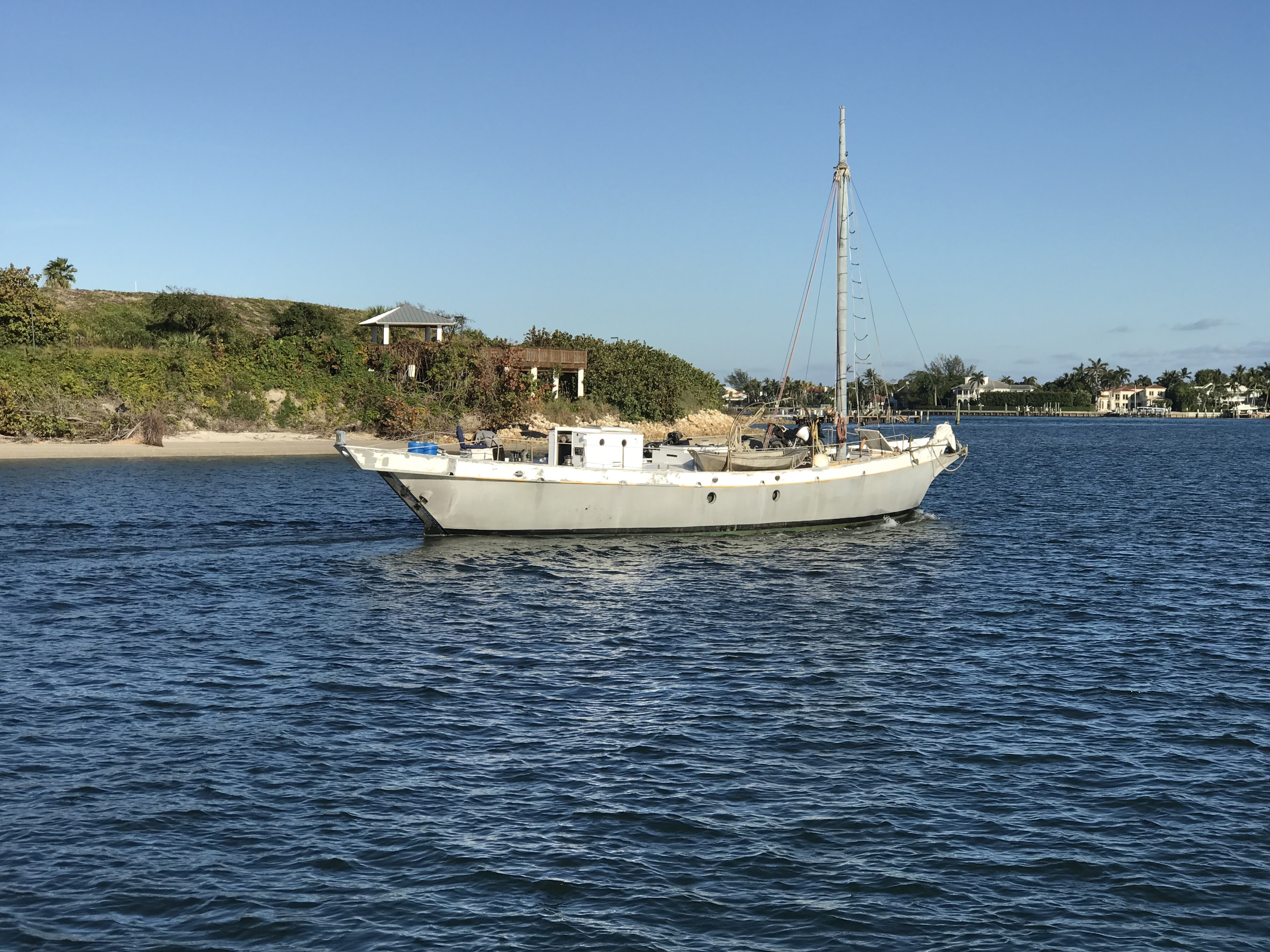
When the bridge opened we were again making way and passing what appeared to us as a collection of derelict boats anchored along the river. The boat below appeared to have someone on board due to the attached dinghy. I wonder how the state handles these anchored boats?
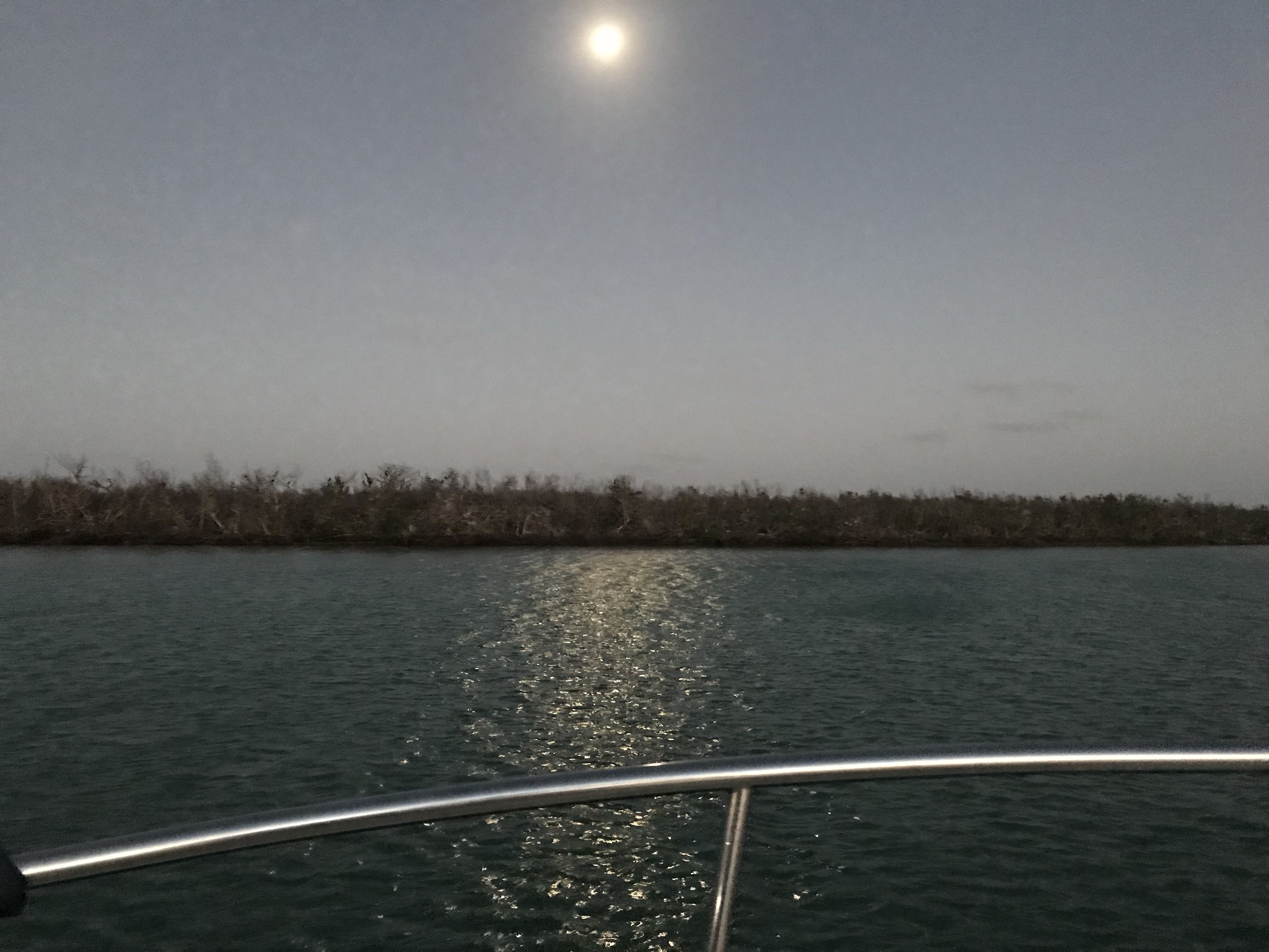
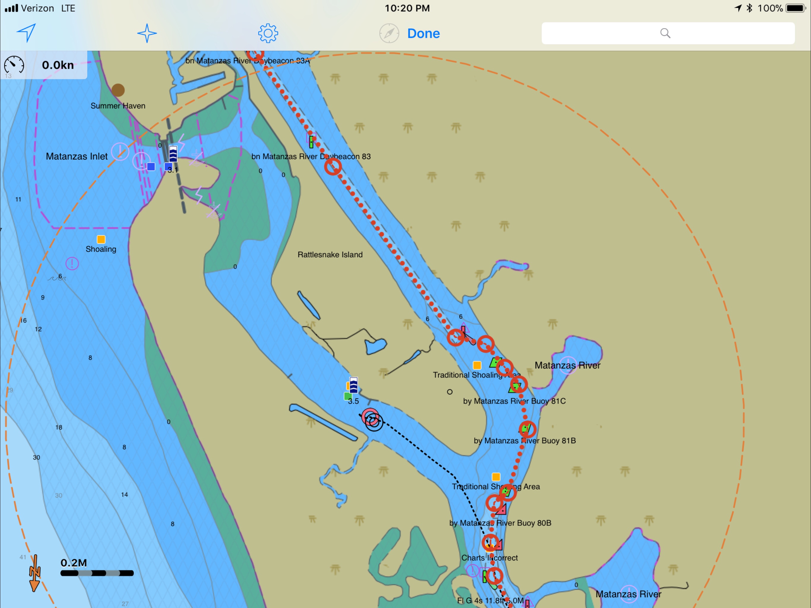
Eventually we made it to a nice little anchorage near the Atlantic Ocean inlet known as Matanzas Inlet.
There is a strong current in here with a rocky bottom so we let out 40 meters of chain rode and settled in for the night.
We anchored right in front of Fort Matanzas shown below.
Tomorrow it’s back down the ICW and hopefully we’ll be anchored somewhere in Daytona Beach.


 The next morning we re-provisioned the boat using a grocery delivery service. Kelly used her iPhone to place her order and set the delivery time the night before. We awoke to texts from our personal shopper texting us that she was on her way to the marina and and she would be the “girl in the gray Toyota”. After re-provisioning we spent the day taking on some more water and while Kelly cleaned the inside of the boat, I washed the outside. It was 80 something degrees out and seemed odd as Christmas is just a few days away. The next morning we shoved off and had no sooner started South down the ICW and we ran into a restricted bascule bridge and had to anchor for 45 minutes while we waited for it’s 12:30PM opening. Along the river bank you could see the fortress called
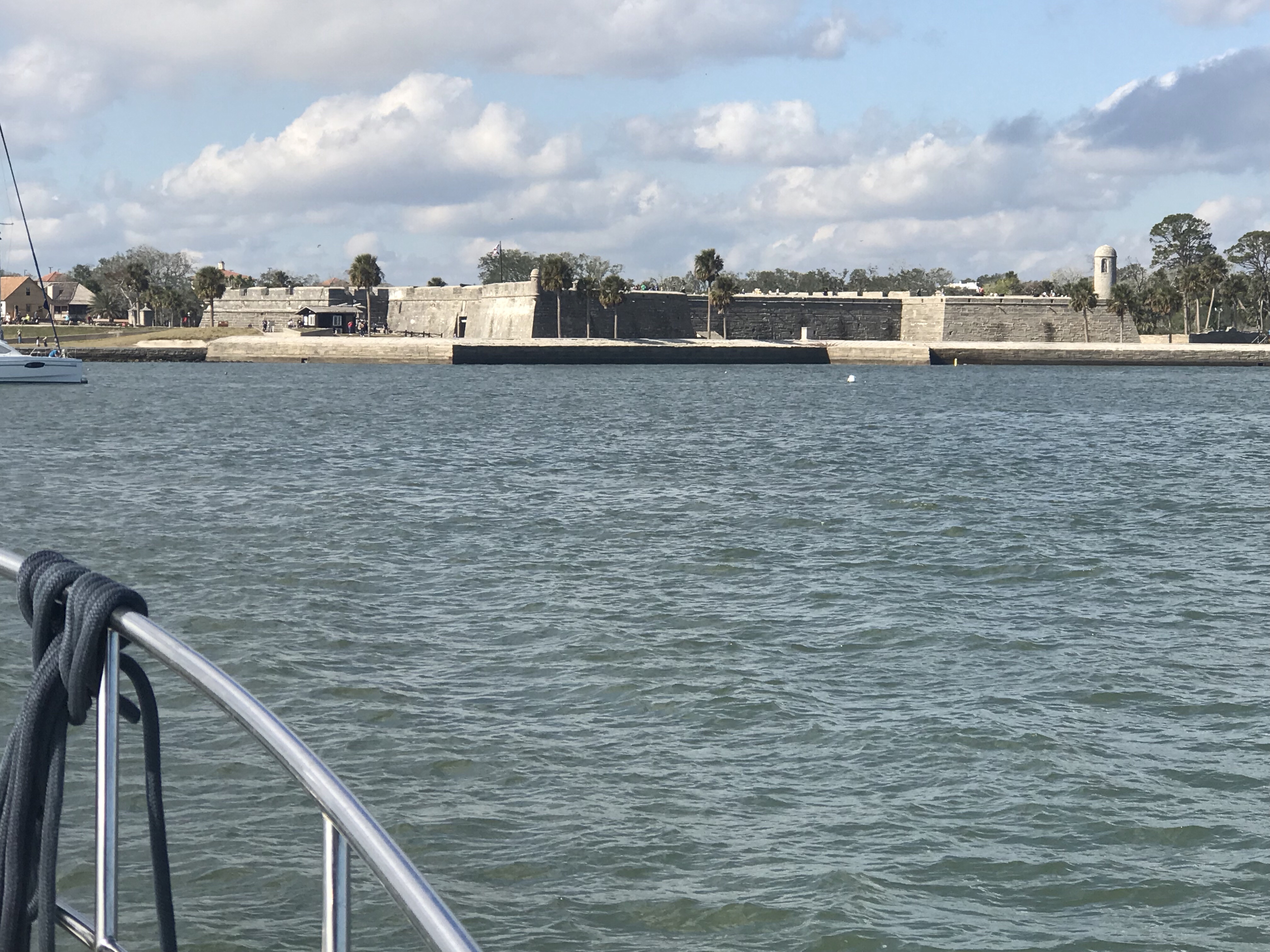


You must be logged in to post a comment.