Run to Georgetown SC

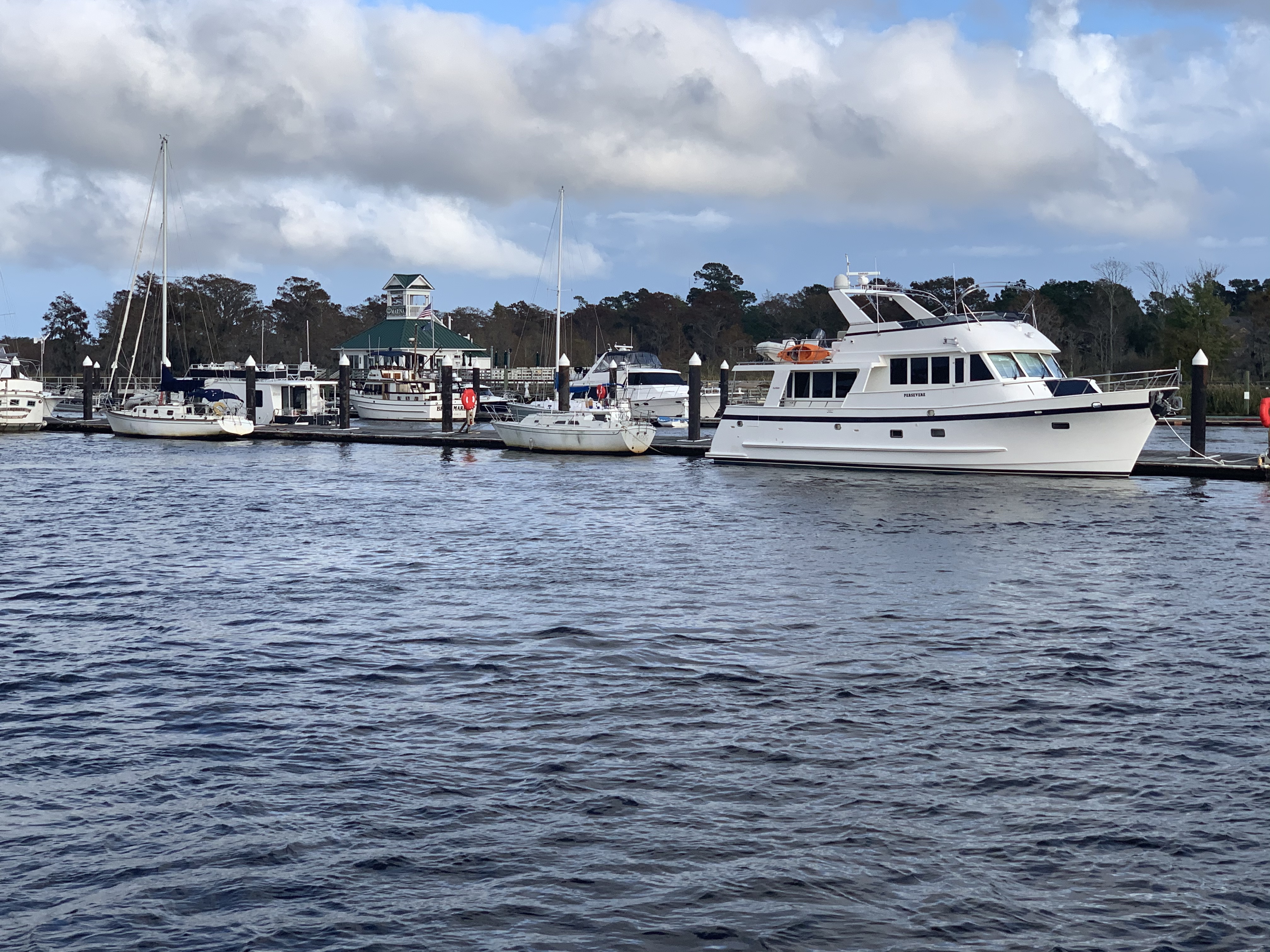
Before leaving Osprey Marina I figured I ought to get some Simple Life maintenance done.

I pulled back the rug and removed the teak & holly access panel to expose my Cummins 5.9L QSB diesel. You can see the hose dropped down into the engine room so that I can clean the bilge.

Teak & Holly floor covered since new with carpet and pad

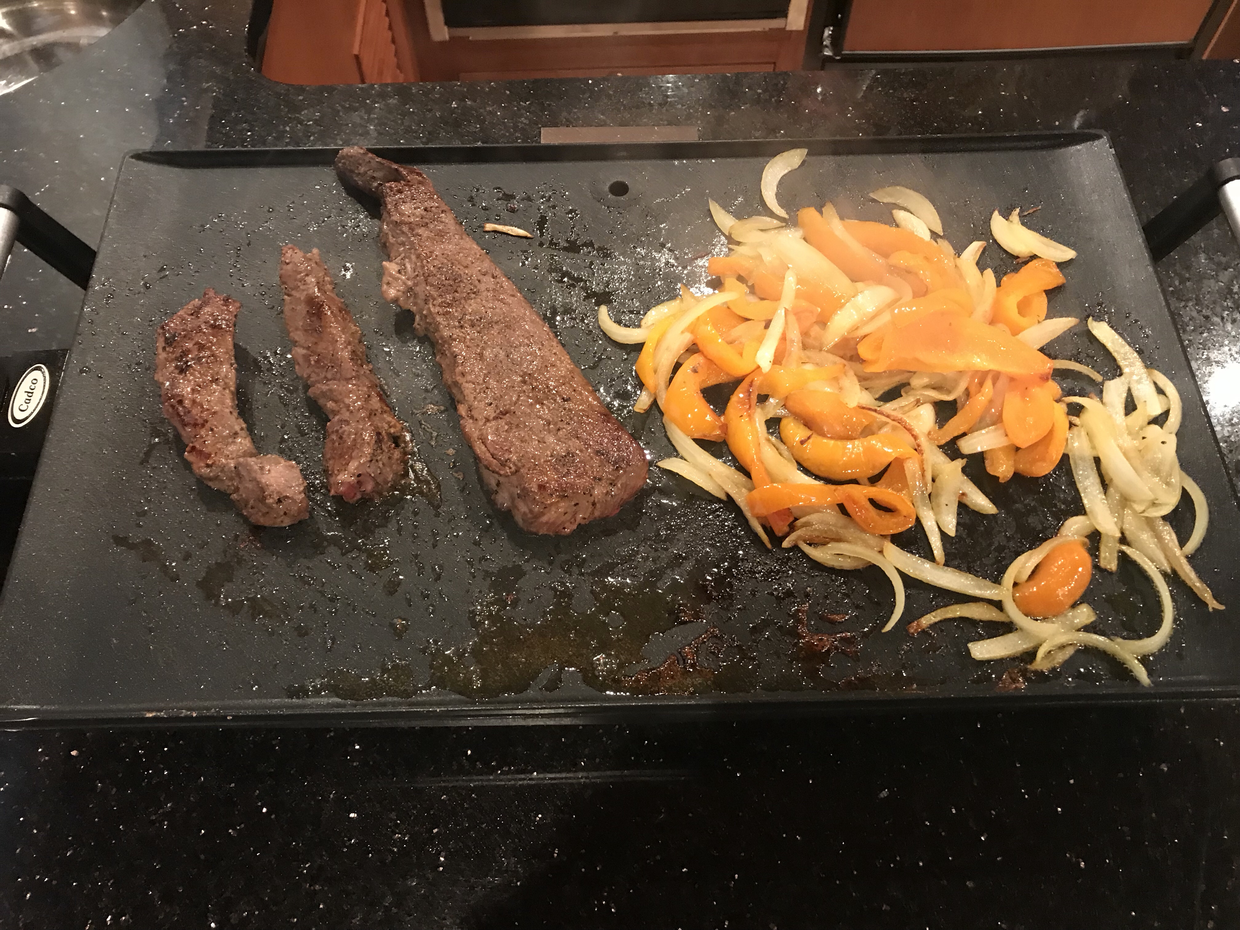
Sitting in the engine room doing maintenance was hot so I decided that I would use up any non-IPA beers in the bottom of my fridge.

Those are work Pajamas

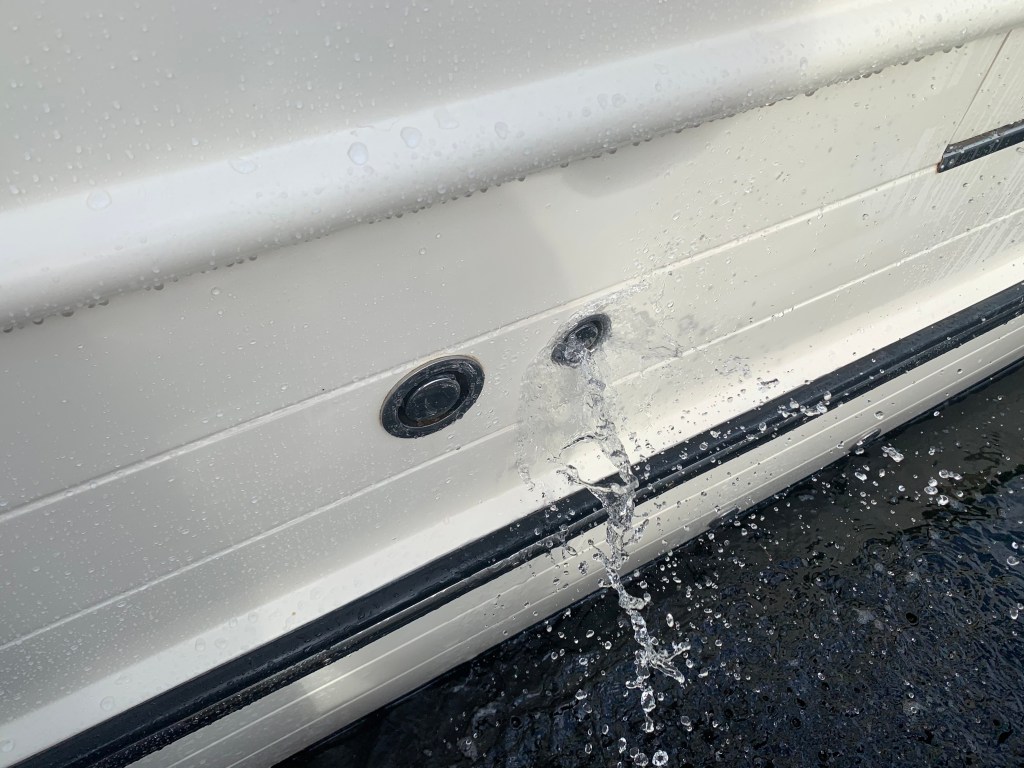
Simple Life carries 340 gallons of potable water. Depending on use, that should last a month but might as well fill the tanks while I’m at the dock. When I fill my water tanks I like to use a portable water filter from Home Depot. I also overfill the tanks so that water is pushed out the breather tube. Any tank that you fill must have a breather to allow the air being replaced to escape and on boats that tube exits on the outside of the boat high enough so that when the boat heals over you don’t have seawater intrusion. Little flying things can attempt to enter the breathers so flushing them with each fill is a good idea even though multiple filters catch anything in the tanks.

Flush out your water tank breather lines

Along with boat maintenance I was upgrading my MacBook Air to Big Sur. If you are a Apple Mac fan you know Apple just announced their new line of Macs that run on their new Apple silicon processors. This is big news for apple and will align their Mac computers with iPhone and iPad which already run Apple silicon. Why is this important? Well for starters iPhone and iPad apps which were written to run on Apple silicon can now be run on Mac computers to make Mac users like me happy that we can use similar apps across the three different platforms.

Before taking off I sat down to plot my next leg of the trip. I generally plan for 50NM each day. That is a very conservative estimate as I often run 80NM / day or more.

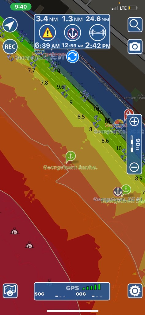
I decide to anchor in Georgetown, SC. I have always wanted to visit Georgetown. A quick check of the harbor shows several anchorages in very shallow water.

Red is a no-go and I stay out of orange areas if I can help it.

I untie my lines, jump aboard and put her in gear as I say my goodbye to Osprey Marina. Traveling south down the Waccamaw River, I pass marinas as well as people just pulling up to the banks to party.

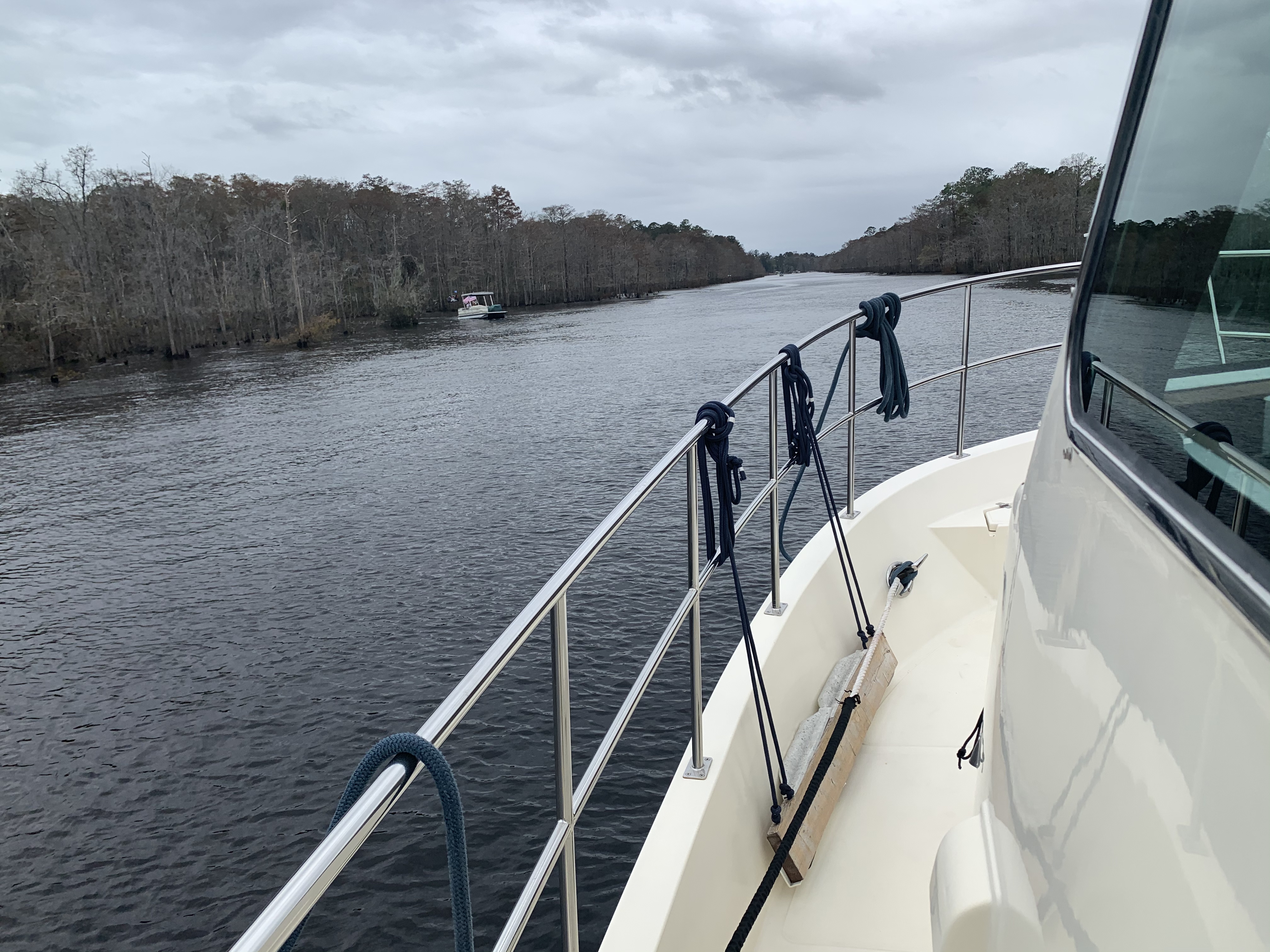
The Waccamaw River is deep and the current (seen pushing over the no wake buoy above) is pushing me along at 7.8 knots. It’s raining but I enjoying the day in the pilothouse.

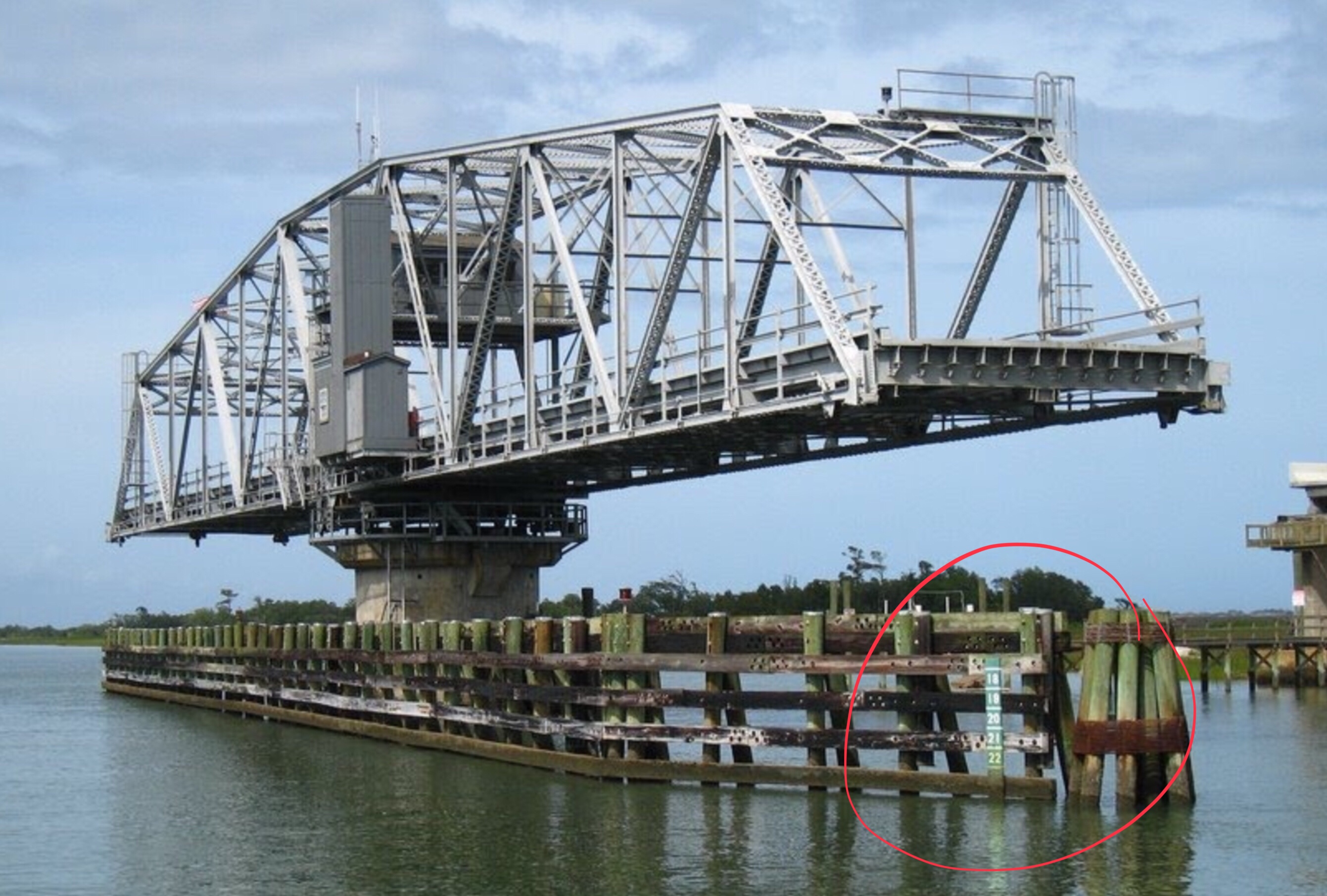
As I pass under Ocean Highway Bridge the entrance to Georgetown will be on my starboard side.

Near Georgetown, South Carolina

You can see the position of the sun in the video above and there is still more time in the day. I start thinking… Maybe I’ll push on and find an anchorage further south down the ICW?

I push on through Winyah Bay until the sun sets.

Sunset in Winyah Bay, South Carolina

I settle on an anchorage just before the ICW takes a 90 degree turn leaving Winyah Bay. The anchorage is protected by a small, low island called Middle Ground and ithas plenty of water and swing room.

Good Anchorage

This anchorage is large for the ICW and several sailboats have already dropped anchor.

Sailboats anchored off my bow

My plan was to anchor here for the night before heading on to Charleston, South Carolina. However, plans are made to be broken. I instead do a quick check of the weather offshore and decide to make a 36 hour run offshore to St. Augustine, FL. This long voyage will skip over the rest of South Carolina as well as Georgia and the very northern part of Florida. Georgia passed an anchoring law last year with draconian rules about where you can anchor. Some people just don’t like boats anchoring anywhere near their waterfront homes. Skipping Georgia has the side-effect of avoiding all their confusing anchoring laws.

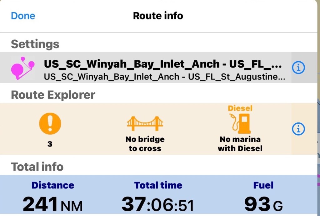
I prepare my route for the next day. I add a lay line run straight from Winyah Bay, SC to St. Augustine, FL. I notice the sea is expected to be 3-4′ waves and increasing to 5′ over time. I add a second direct route to Saint Mary’s Inlet right at the GA/FL line. If it’s nasty I’ll know it pretty quickly and I’ll divert to this shorter route. I also plot out routes going in each navigable inlet as premade bailout routes incase anything goes wrong. Doing long solo offshore runs you need to be prepared incase I injure myself underway and need to get back inland quick.

St. Mary’s Inlet route breaks off around even with Charleston, SC

The math for the St. Augustine’s run looks like this.

I do a check of the currents leaving the Winyah Bay Inlet and find that if I don’t want to fight the 7:14AM Max flood current getting out I better leave soon after the 4:38AM start to flood.

We just had a new moon tonight so navigating tomorrow morning, you won’t get any help from the moon.

I settle on a 5AM weigh anchor time and decide to navigating the inlet in the dark is better than waiting till first light and fighting the current to get out.

I’ll be out of the inlet before first light

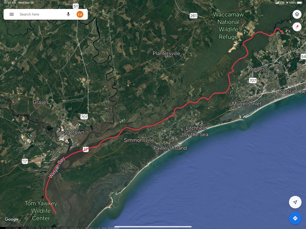
This leg of the journey looked something like this…

W04L012 – Run to Georgetown SC

Anchor to Anchor in South Carolina

We awoke this morning at sunrise and the Waccamaw River was still.

Only after looking at Google Maps did I become aware that the creek that we anchored in was really the Waccamaw National Wildlife Refuge in South Carolina.

Our Anchorage in the Waccamaw National Wildlife Refuge

Along the route to Georgetown, SC there were many hazards dotting the ICW.

We did not see many other boats as we traveled along. We did see this steel hulled schooner called SV Steel Away. Nice vessel for the ocean and anchoring in.

Steel Schooner Steel Away

We saw mossy trees.

Mossy Trees

As well as duck hunters in the mashes that lined the ICW.

Duck Hunting with Decoys

When we arrived in Georgetown, the air was scented with the smell of a paper manufacturing plant. We made the decisions to continue on.

Paper Plant in Georgetown, SC

As the sun began to set we were forced to find an anchorage and we picked this one on the Atlantic Ocean just a 1/2 mile off the ICW.

Our Anchorage Near Georgetown, SC

We dropped the hook just as the sun was setting and it was beautiful.

On Anchor Near Georgetown, SC

There was one other boat anchored with us which was about the only other boat we saw. This sailboat was from South Carolina so we are not even sure if they are snowbirds like us?

The last thing to do after a full day at the helm was to cook up some steaks on the griddle and sit back and relax.

Steak on the Griddle

Anchored in Somewhere South Carolina

We got a late start leaving St. James Plantation Marina in North Carolina. I think we were enjoying ourselves and were just slow getting moving in the AM. Kelly eventually woke and made an amazing breakfast on the griddle and I filled the water tanks, emptied the trash and pulled the boat over the pump-out and we were off.

Pulling out of the marina we were reminded how beautiful the houses are and what a great place this is.

St. James Marina Homes

As we exited into the ICW and headed South, we were reminded that this area has strong currents and tricky shoals that form around both Lockwood Folly Inlet and Shallotte’s Inlet. To offset the danger of running aground on a shoal we spent the wee hours downloading the US ACE (Army Corp of Engineering) navigation hydrologic maps of the inlets. What a great job the ACE does surveying these tricky inlets and making the sounding maps available for FREE to snowbirds like us. Thank you.

Current rip in the inlets. US ACE - Army Corp of EngineersEach Division / District has its own website so you’ll have to spend some time finding the hydrologic maps from each ACE District. Ocean Isle BeachThat’s a narrow drugged channel that you must stay inside of
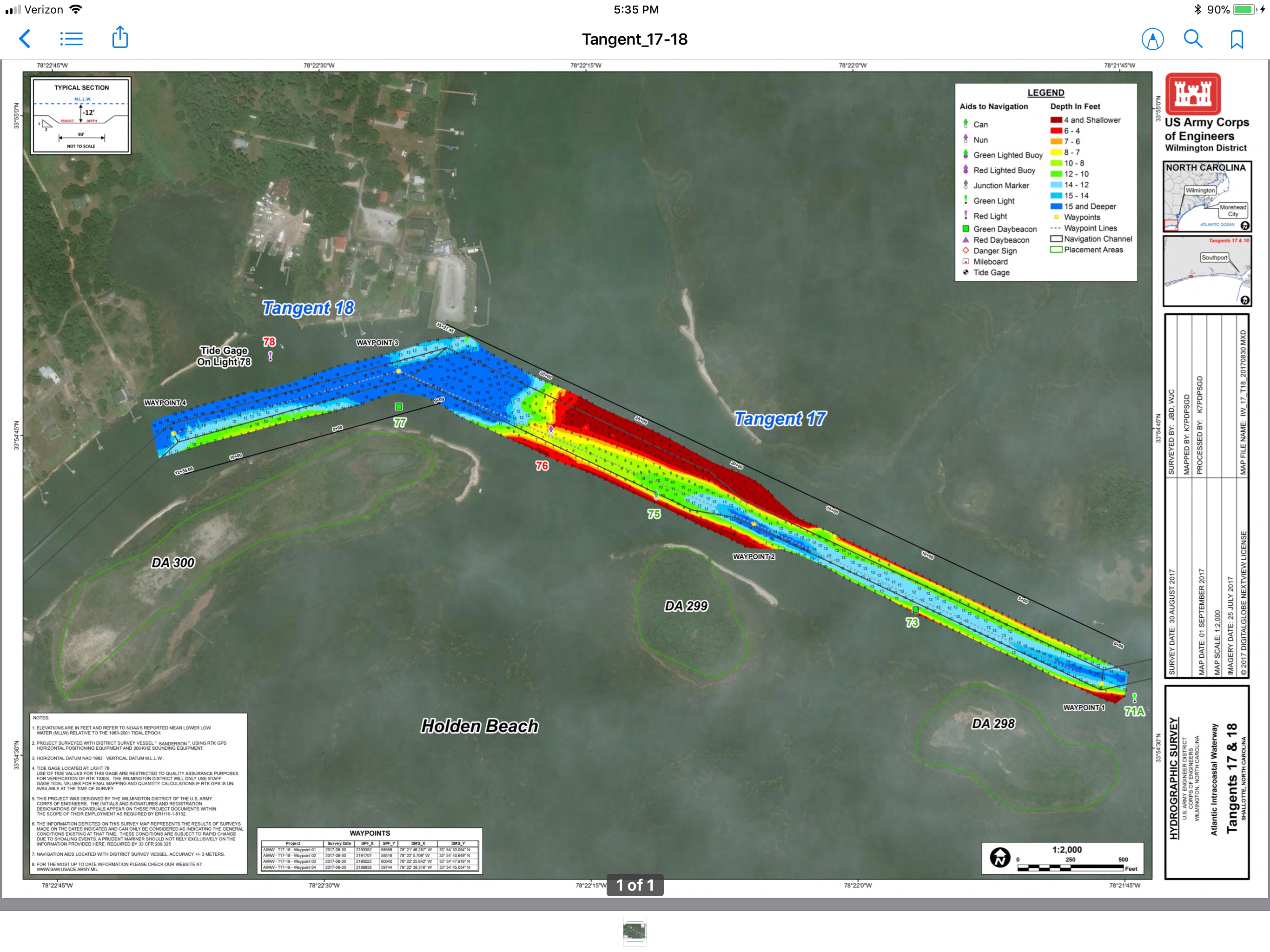
 Shallotte’s Inlet Hydrologic MapsStay to Port.

As we headed South we saw many beautiful sights.

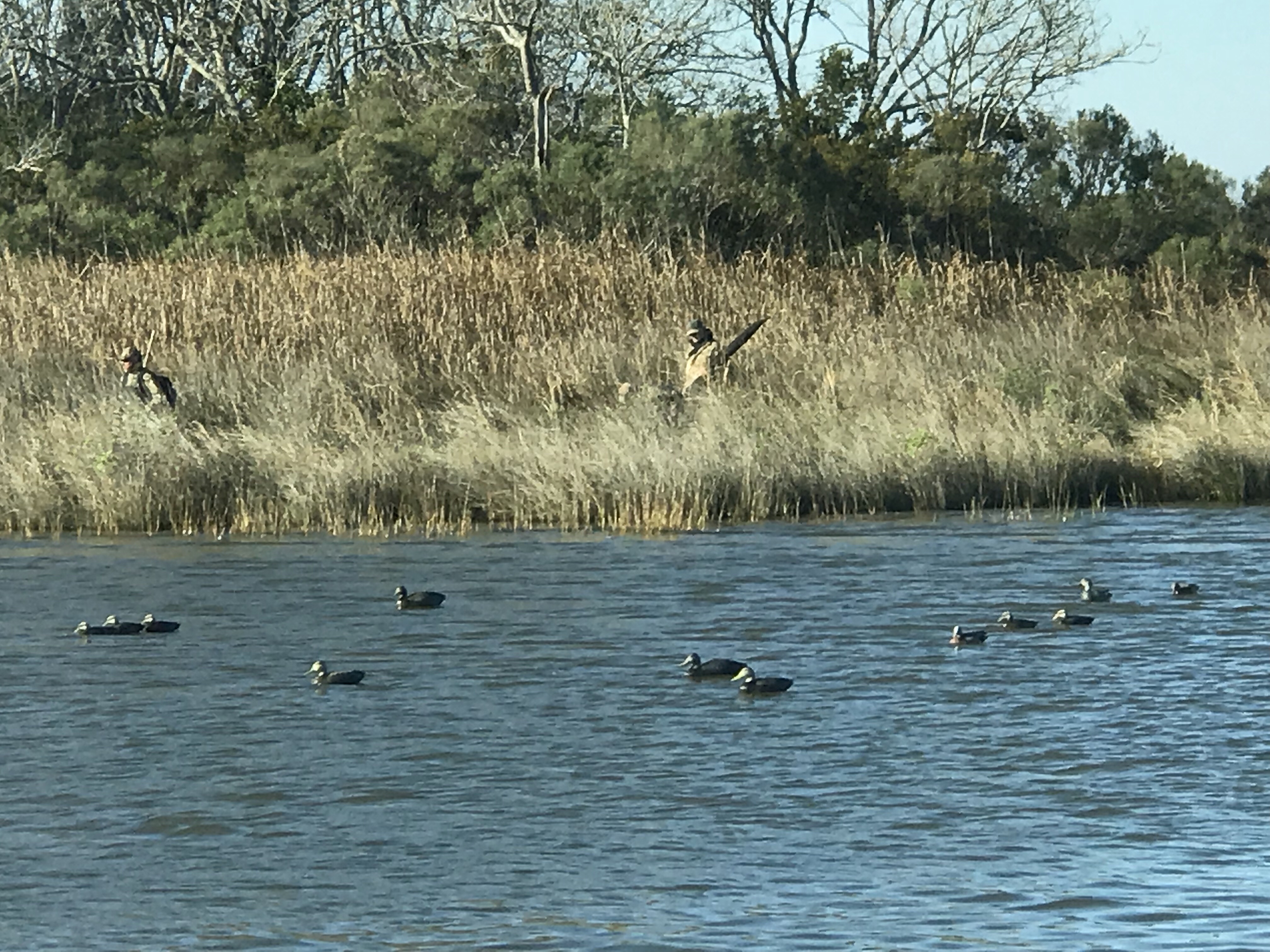
We have no idea what species of bird this is but we are committed to learning more about the aquatic bird species that inhabit the ICW.

This lighthouse was somewhere around Myrtle Beach. It’s though to see but there were Christmas lights strung off the walkway around the light.

An Atlantic Ocean inlet. Maybe this was around Lockwood Folly Inlet?

We find the breaking waves beautiful. What a great beach for walking the dog or just contemplating life.I think the sign said something like Greg Norman’s Australian grilleWe love that this guy was taking his dog for a ride. Man’s best friend loves the boat says Happy & Chief Martin Brody. “Born 200 years too late” – Jimmy BuffettSomewhere Myrtle Beach
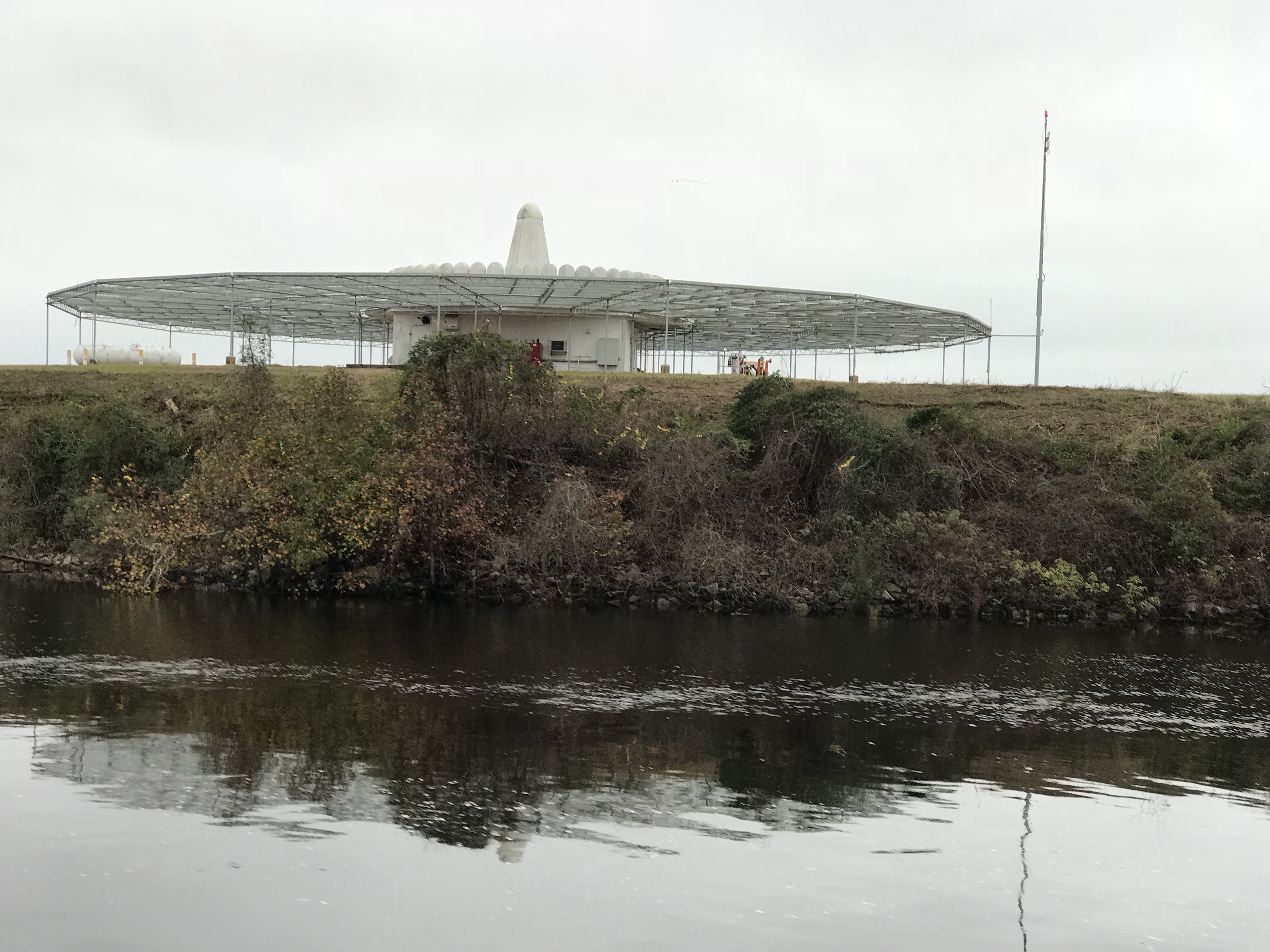
Close Encounters or an airport building, you decide.Who wants to walk under this rack with high winds and a 10K lb boat resting 80′ over your head?

There are many dangers along the ICW..

Slow down and read the signs of life… they point toward safety
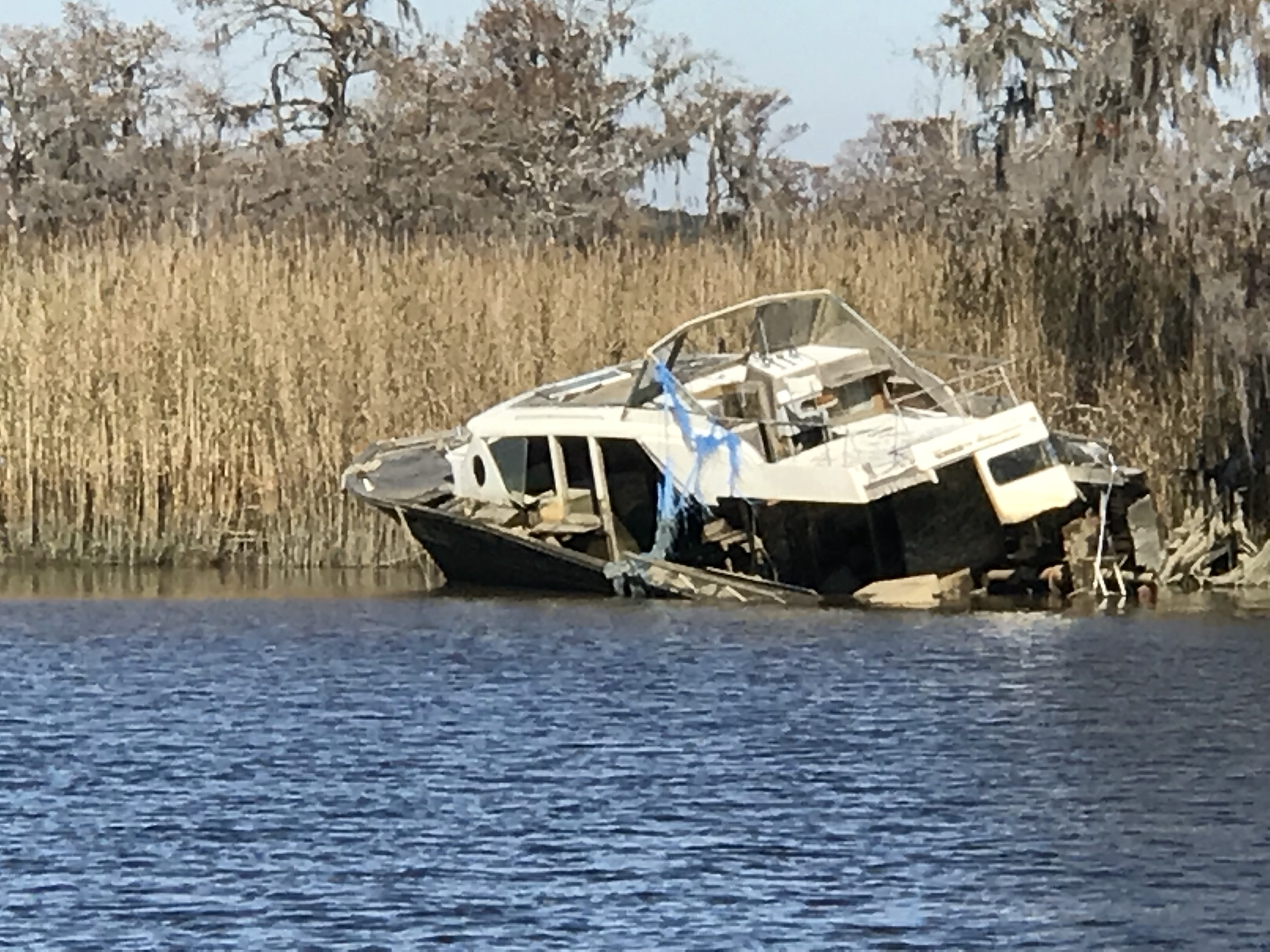
Logs are the bumps in road of life They thud your hull or fold your wheel (that’s a propeller for the un-initiated)
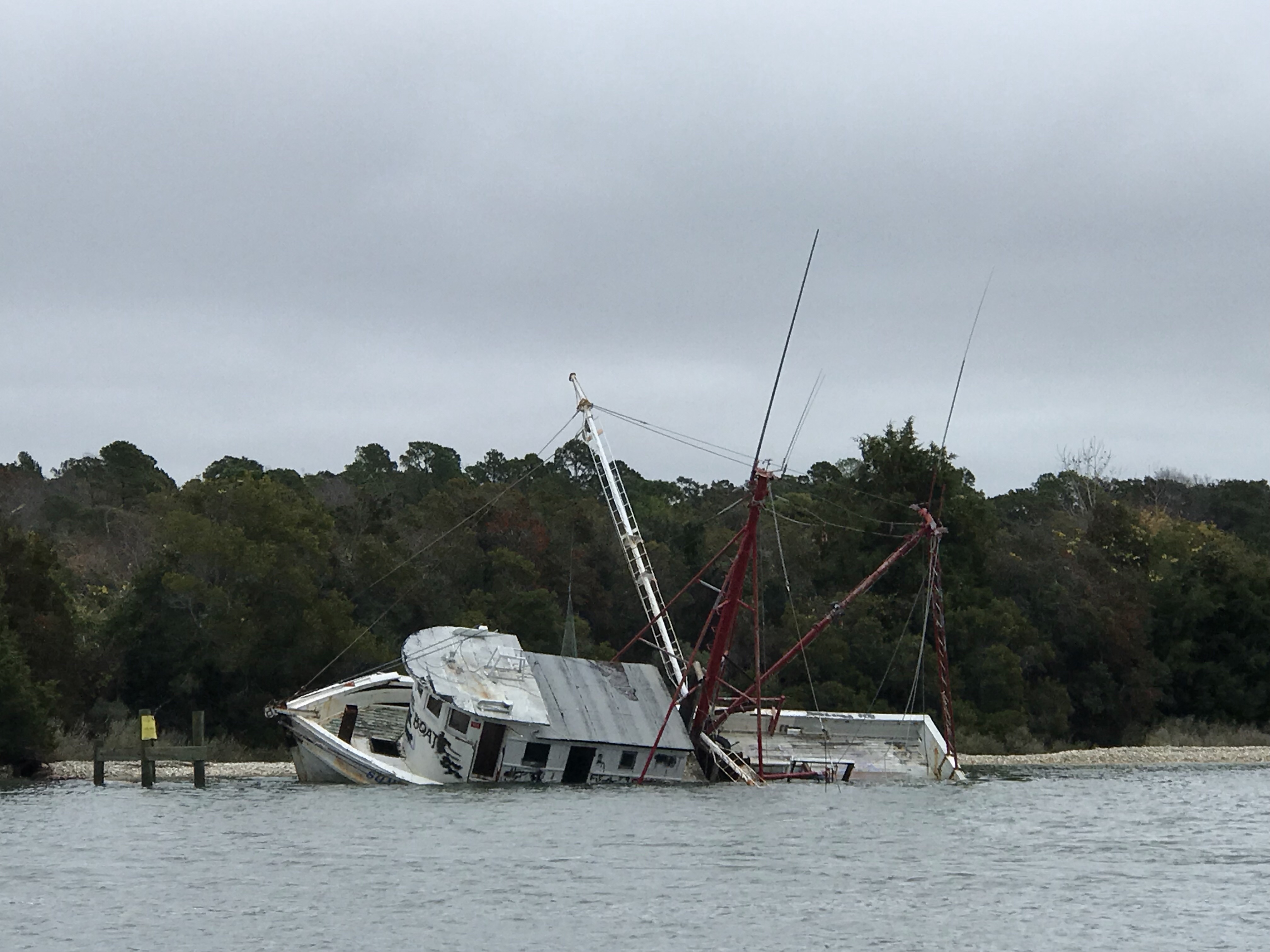
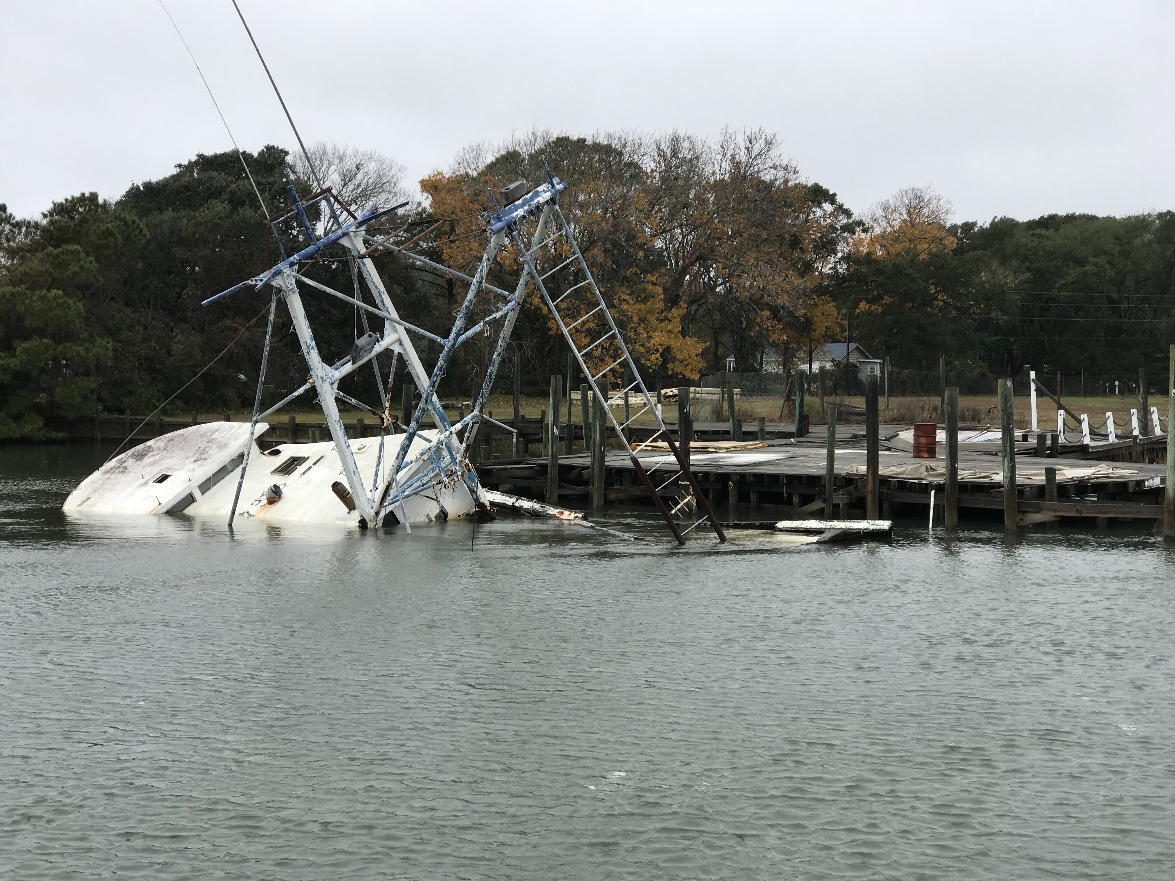
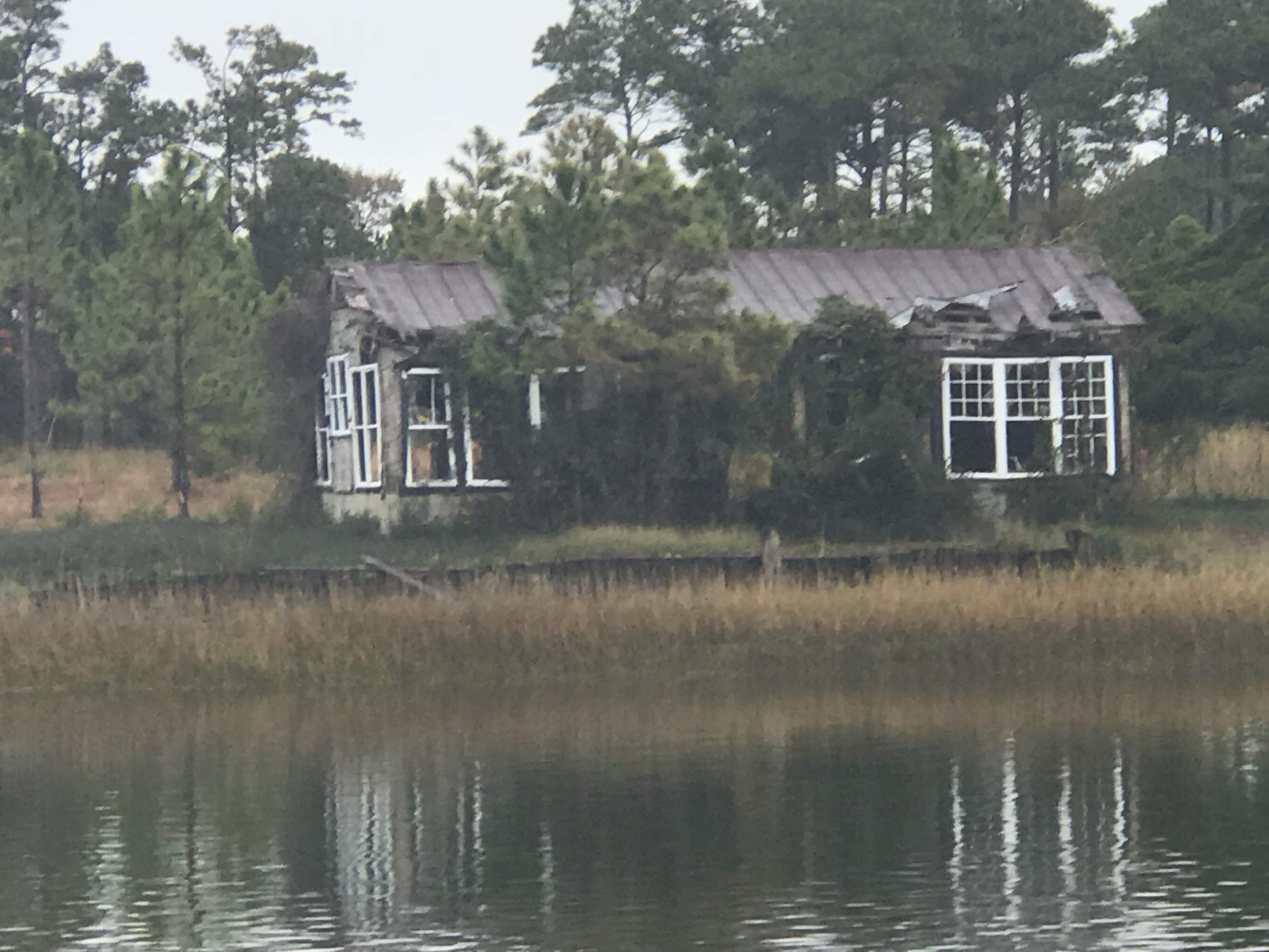
We hate to see beautiful commercial fishing boats listing on the bottom. We joke that we’d love to pull her up drain her beige, gut her and rebuild her giving her a sexy teak makeover. Kelly reminds me that the stink of a fishing boat is not washed off with soap. Ouch!

Heart breaking.

Well, we anchored in a narrow creek tonight. It’s inky black and a bit windy but we buried the 90 pound and 3/8 chain anchor deep by backing down on it. We were forced to only let out a short scope of rode. Any more and when the tide reverses we’ll swing into the banks of this narrow creek. So we’ll call it a night and make our way to Georgetown, SC in the AM.

Anchored in Somewhere South Carolina

St. James Plantation with Friends

We are leaving St. James Plantation Marina in Southport, NC this morning but made a promise to come back and spend more time with our friends Jim & Wende. They were very gracious hosts while we were here and we got to share in the experience of being in a “private town”. So very interesting though I must say Kelly & I will have to investigate exactly what that means?

Wende Kelly Jim Marty

Thanks Jim & Wende, you showed us a great night off the boat and we promise to come back and spend more time.

The night before we had anchored in Sloop Point, NC and the trip down to Southport was an interesting one. We saw heavy equipment dredging around what looked like a new pier going in. I know what salt water does to steel and I still shudder at the thought of dipping an excavator’s arm into salty water. I’m sure the water in the ICW is brackish but still.

Dredging Excavators

I was checking my ICW bridge list and realized that I would not make the Figure Eight Swing Bridge in time for their restricted opening time. This meant that I would be waiting for the next opening. However the bridge tender who I had hailed on the VHF asked me about my air-draft. Your “draft” is your vessels depth in the water and your “air-draft” is your vessel’s height above the water. I replied that I believed it was somewhere between 21-22 feet. The bridge tender remarked that he currently had 22′ of clearance. Every bridge along the ICW has a “height board” that is partially submerged under the water with height markers at the waterline. While all bridges on your nautical charts will list their height at an average high tide, the actual vertical clearance varies with the height of the water. The bridge tender offered to come out of his office and stand under the bridge to check my clearance if I wished to approach the bridge slowly. This can be a tricky maneuver as there was a current pushing Simple Life toward the bridge. I slowly edged the boat idling in reverse to the bridge and bridge tender assured me that I had a good 6″ of gap between the top of our boat and the bottom of the bridge. MV Simple Life’s air-draft is 21′ 6″.

Below is a stock photo of the Figure Eight Swing Bridge as I was too busy at the helm to snap pictures. You can see I circled the “height board” and at the time this picture was taken there was slightly less water under the bridge giving even more clearance than the 22′ we had the other day.

Figure Eight Swing Bridge

Just a few more miles down the ICW and we had to pass through the Wrightsville Beach Bascule Bridge located at statute mile 278 along the ICW. This is a restricted bridge that only opens on the top of the hour.

Wrightsville Beach Bascule Bridge

As we continued on to Cape Fear (Southport, NC) we were delighted at the scenery.

High Sandy BluffOcean InletMarshy Islands

Dock at Water Level

We passed many Atlantic Ocean inlets that had high sandy bluffs and marshy islands dotting the entrances. You could see and hear the surf breaking in the shallow inlets and it makes for nice scenery. The last of those 4 photos is one of a fixed dock that just barely exceeds the height of the water level. Interesting choice of fixed dock heights as this surely must be slightly submerged at times? Slightly submerged docks must be fun to walk along but just like submerged rock jetties that often protect many of the ports we enter they can be dangerous if boats come into contact with them.

As we got the point where the ICW connects with the Cape Fear River via “Snow’s Cut” we were passed by a US Army Corp of Engineers survey boat. These folks use sophisticated sonar to accurately probe the depths of these constantly changing waterways. He kindly slowed down as he passed and got back on plane once he was in front of us. However, just then the VHF crackled on channel 16, “Trawler in Snow’s Cut, are you OK?”. I quickly answered the hail with “comeback to the trawler in Snow’s Cut”. It was a boat in a marina that was hailing us stating that they “saw what had happened”. I replied, “If you are referring to the ACE boat that passed us, yes we are OK”. I found this communication amusing and I can only guess that the survey boat had passed the marina giving a large wake and making the marina boat unhappy and maybe this was her way of shaming the ACE boat publicly on the VHF?

US ACE Survey Boat

Snow’s Cut Graffiti

It would seem the kids in Snow’s Cut like to party at this old bridge abutment. “Party on” Capt B.

Once in the Cape Fear River it became quickly apparent from the size of the docks that extend out into the river that this river is used by large ships. Passing these behemoths must be done at a distance.

A quick turn back onto the ICW, by a dilapidated building and we arrived at St. James Marina.

Dilapidated Building

St. James Marina

Time to push on to Georgetown, SC where we’ll update with a new post of what we saw along the way.