
We started the day with a Mexican breakfast on the griddle.

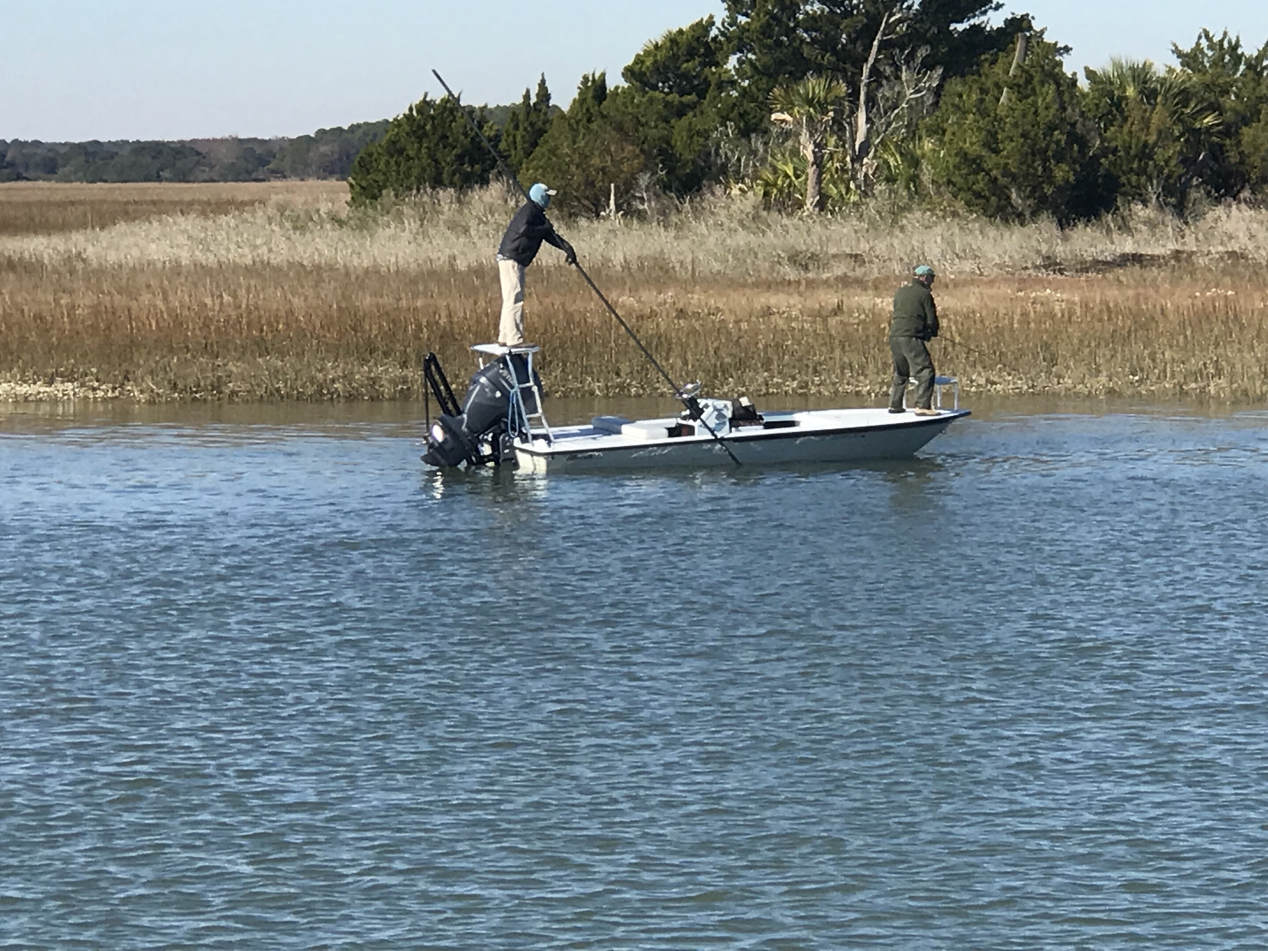
Then it was onto the Dawhoo River which has some depth issues.

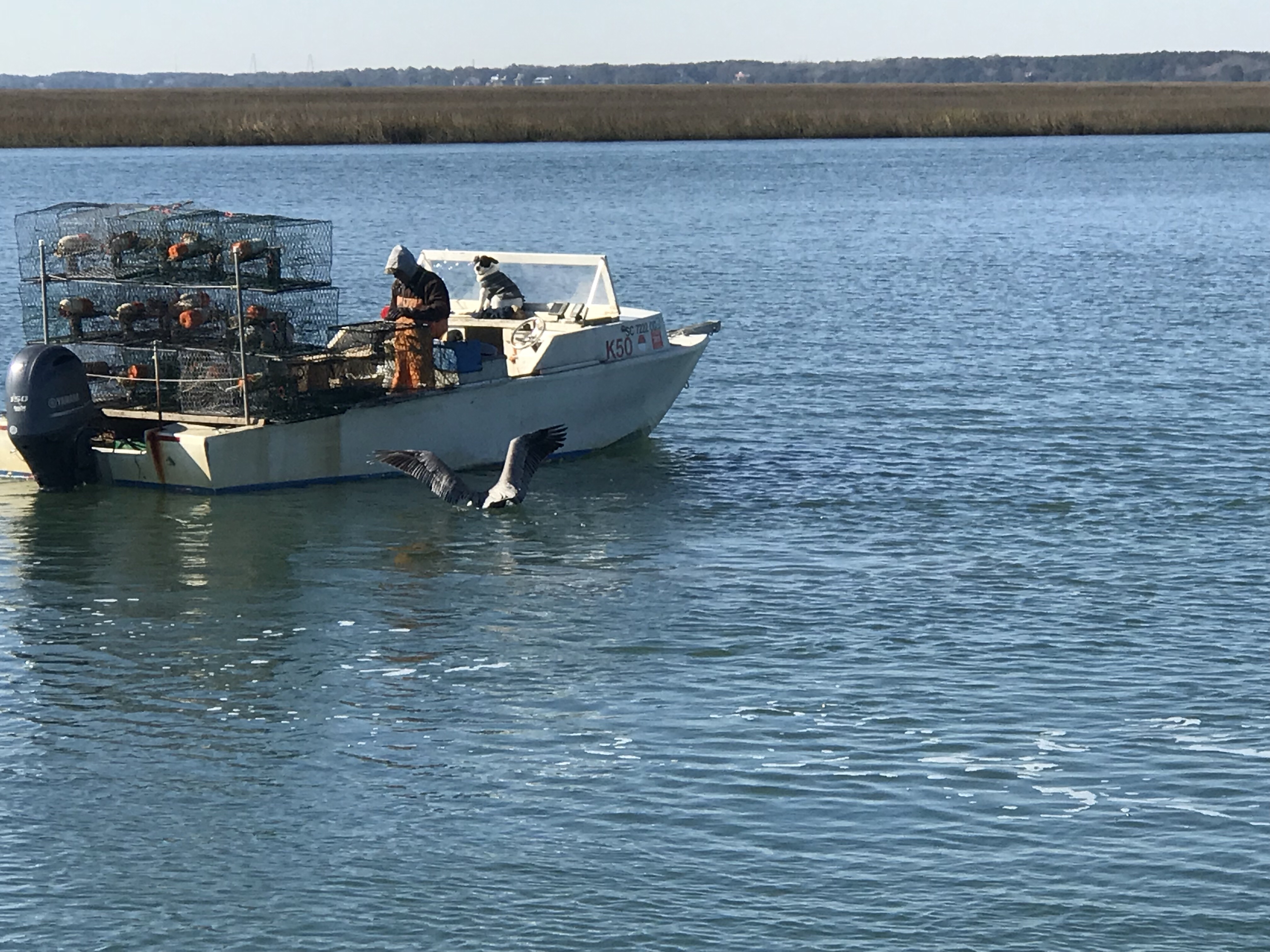
We would occasionally have to move over and let a tug pushing a barge past.

Approaching Tug/Barge 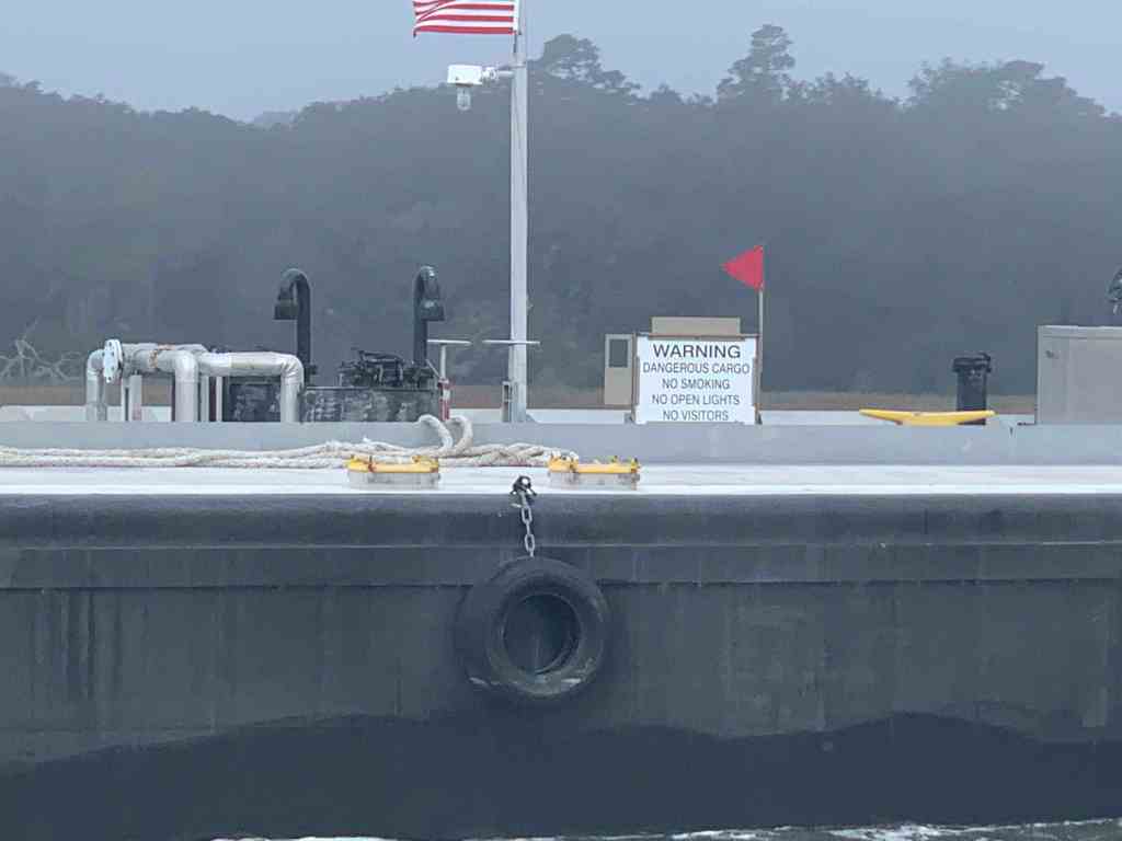
Dangerous Cargo 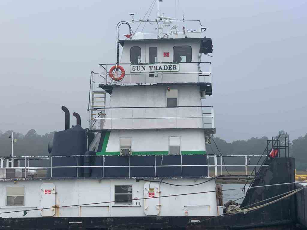
Gun Trader or Sun Trader
This home sadly lost it’s live oak to a bit of wind it would seem.

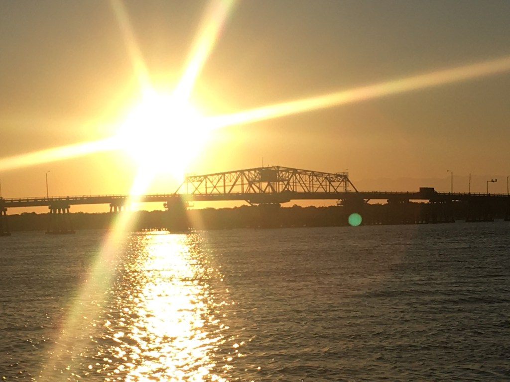
Soon we passed under the ladies Island Swing bridge, hailed Beaufort Downtown Marina on the VHF radio. They responded back “Safe Harbor Beaufort”. Safe Harbor is the same marina corporation that purchased my marina in RI. Heck, Safe Harbor seems to be buying dozens of east coast marinas.

The Safe Harbor Beaufort marina has a strong tide that is not quite parallel to the face dock. This means as you pull up to the dock, the current is either pushing you onto or away from the dock. I took an approach that kept the current aligned to my keel and soon we were tied up and plugged in.

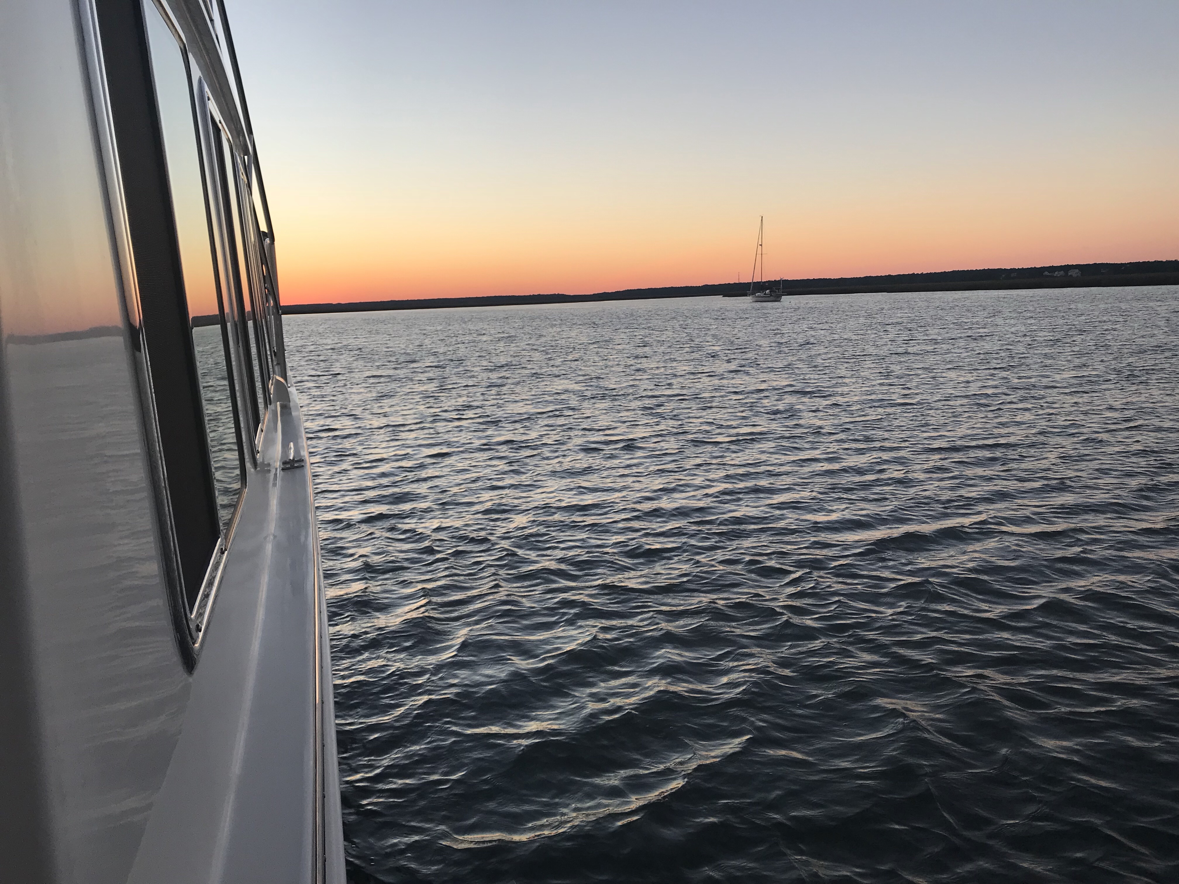
We snapped a few quick photos of a sun low in the sky.

The large 100+ foot yacht next to us lit up as night arrived.

Not to be outdone, MV Simple Life lit our lights 😉

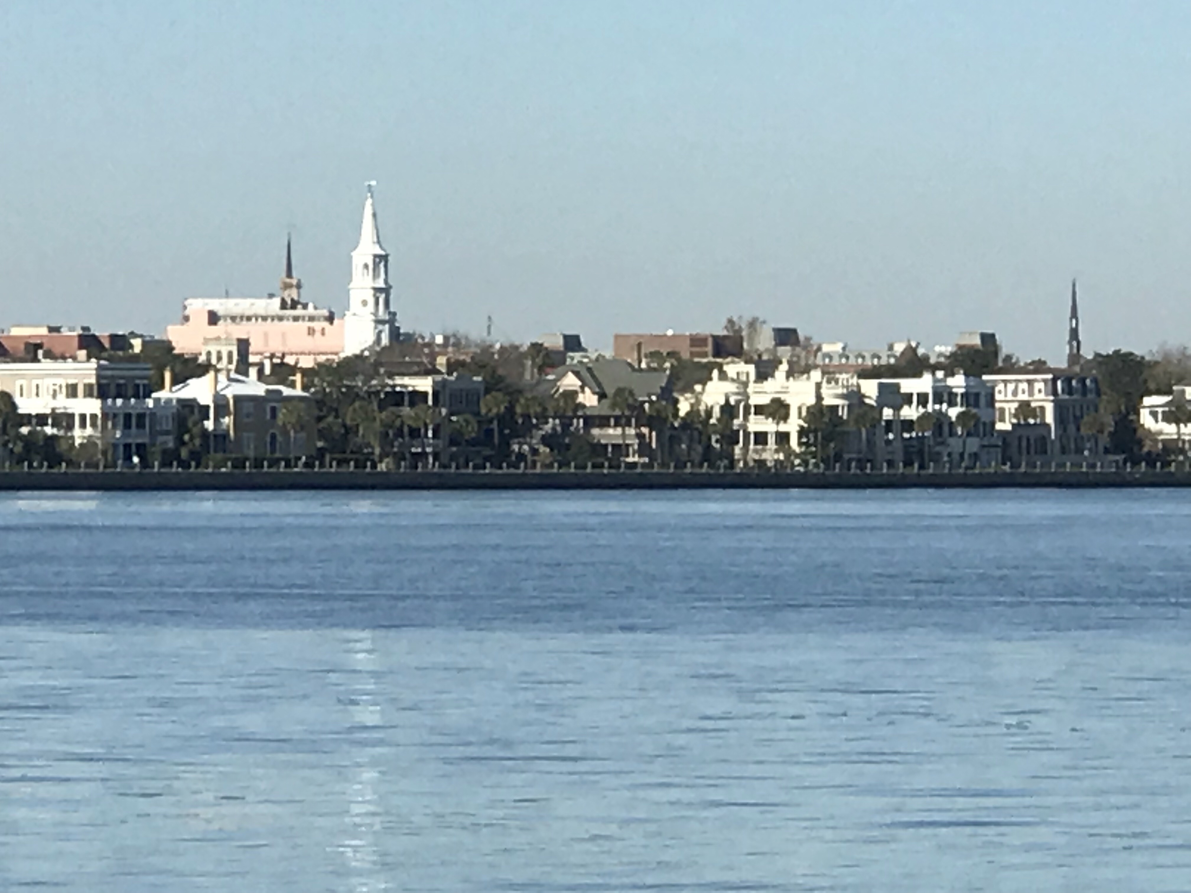
When you walk off the docks there is a beautiful waterfront park.

Walking along Bay street in front of the marina you’ll find many restaurants and shops.
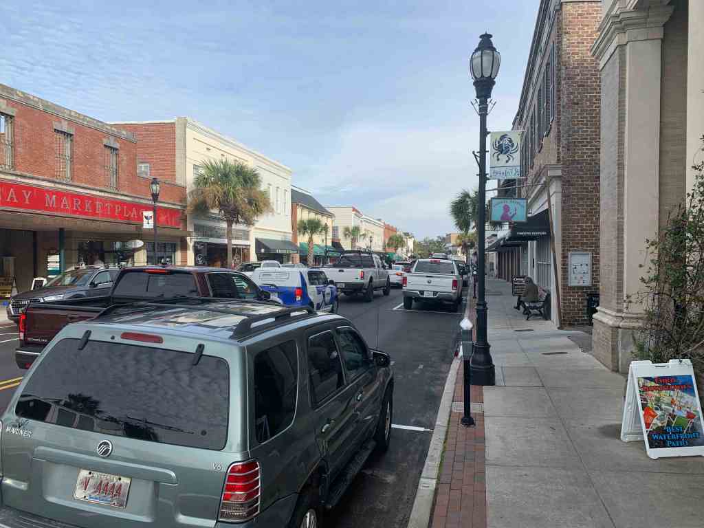
Bay Street 
Panini’s – Live Music 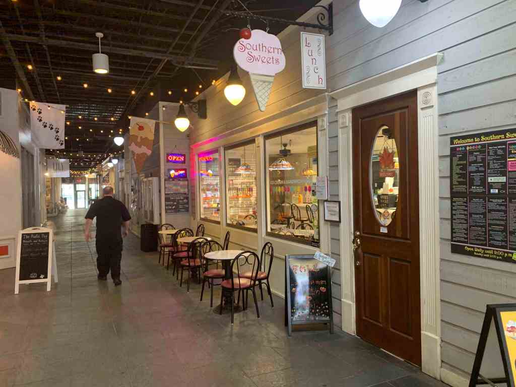
Southern Sweets Ice Cream Shop
We decided to stay two nights in Beaufort so we could hit some of the local restaurants and pubs.

Wood Fired Pizza Guy 
Menu Front 
Menu Back 
Telephone booth leads to the next room
We wanted live music and that can always be dangerous. I’ve had the mic turned off while singing karaoke and lets just say it does not get any better with IPAs.


 I’m dying to see one of those live oaks that look like something out of a fairytale down here.


You must be logged in to post a comment.