Muddy Waters

I love me some Muddy Waters. This morning’s coffee just tastes better with Muddy Waters playing on my Macbook.

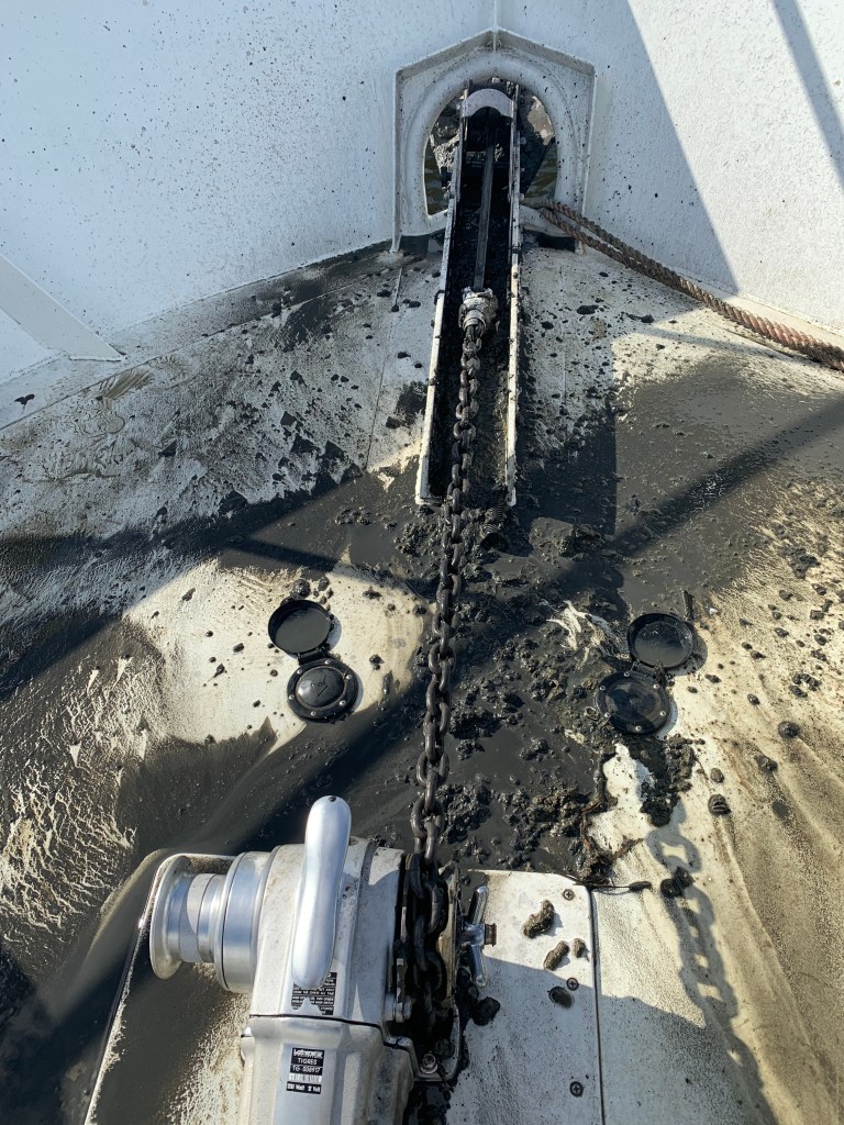
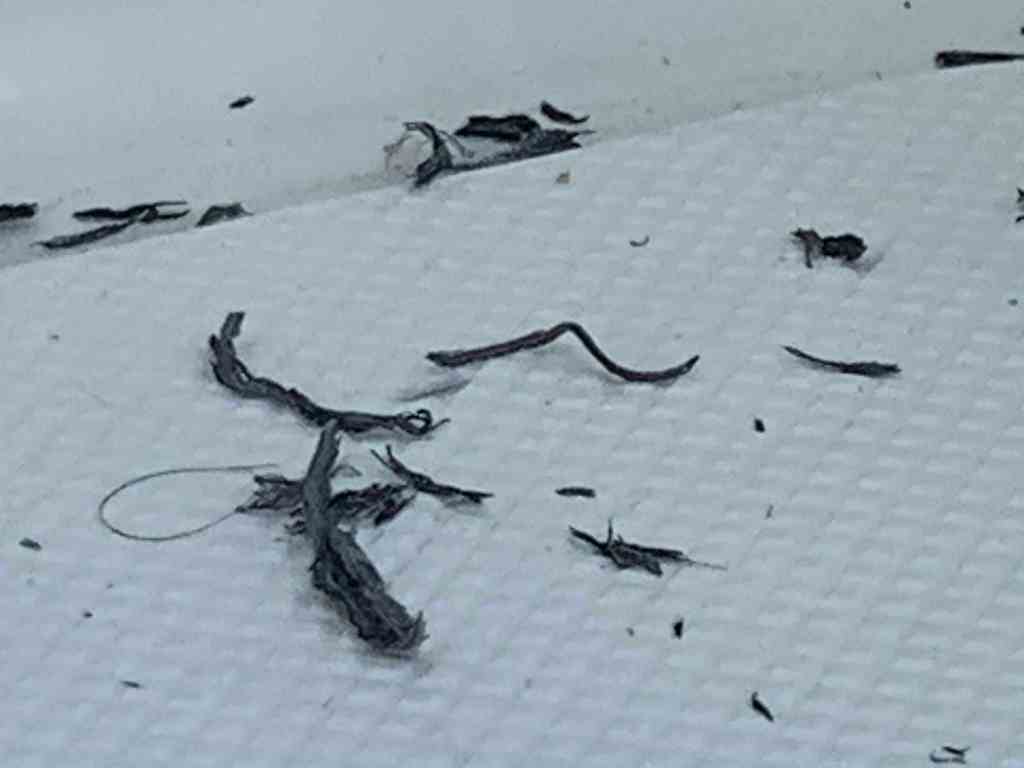
As much as I love Muddy Waters… Anchoring in these muddy waters… less so. This Maryland black mud clings to and comes up with the anchor chain. I have yet to design a proper solution/method of dealing with this mud. Washing it off with a deck hose is just not working. The mud covers the foredeck and this is not mud you want to track into the boat.
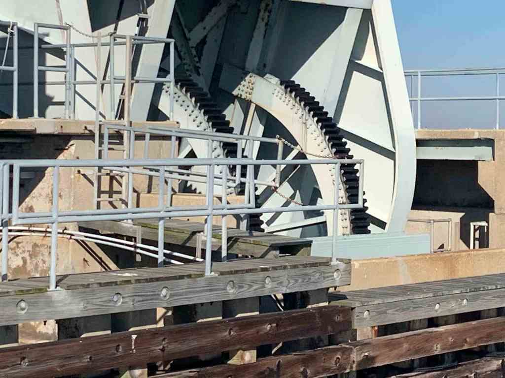
Muddy Decks

Muddy Decks

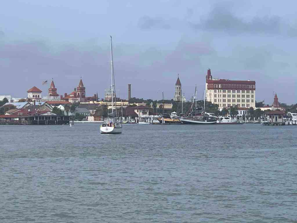
Cruise To Solomons Island

I think these are floating hay bails

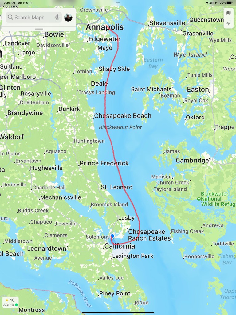
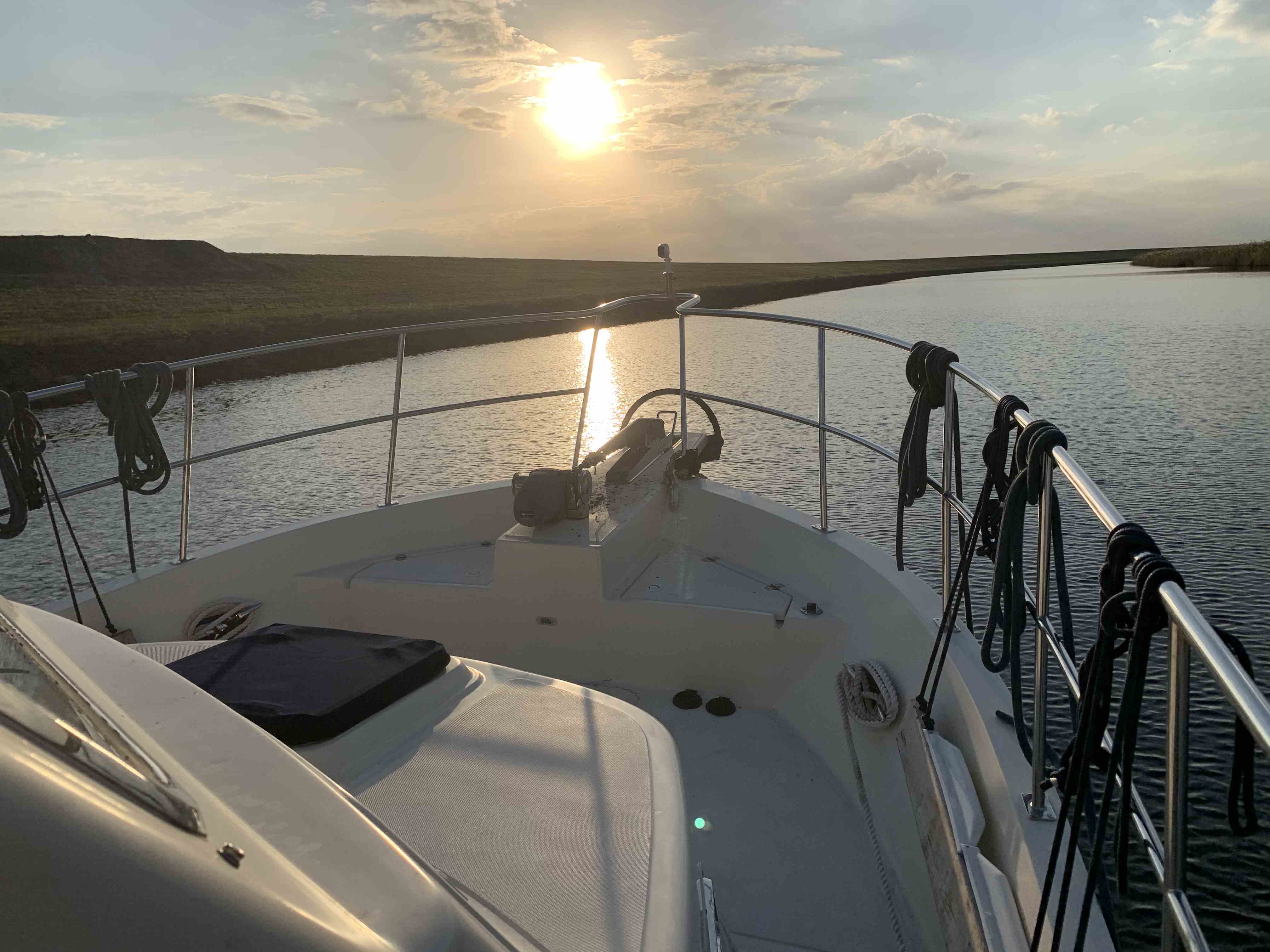
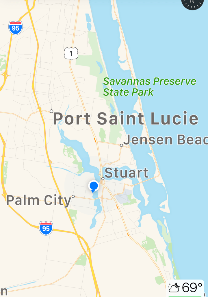
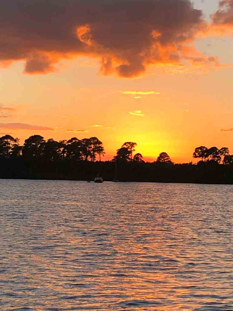
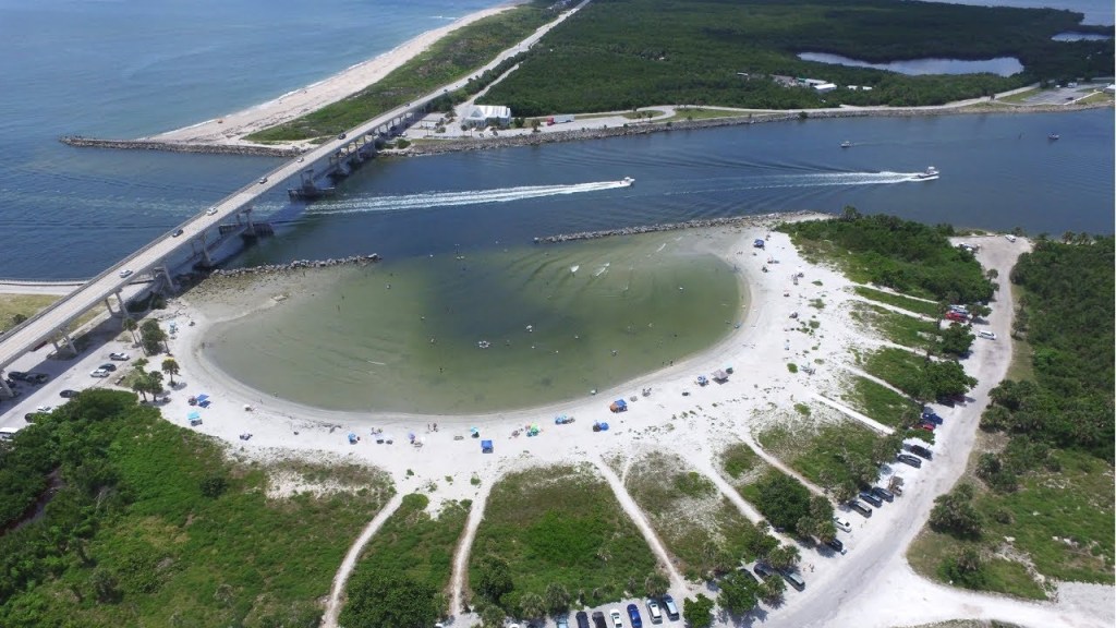
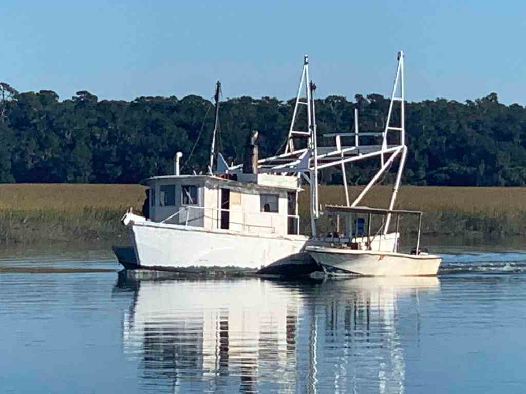
We shoved off from Annapolis and made a 6 hour 50NM run south to Solomons Island. Captain Teresa was at the helm for this trip south. It was great to sit in the 1st Mate chair and just relax as Teresa studied the route on the chartplotter and worked the helm to stay on course.

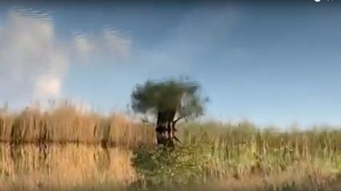
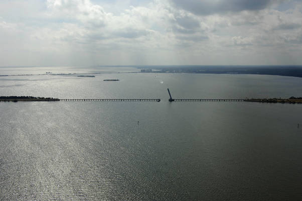
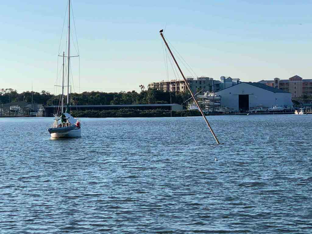
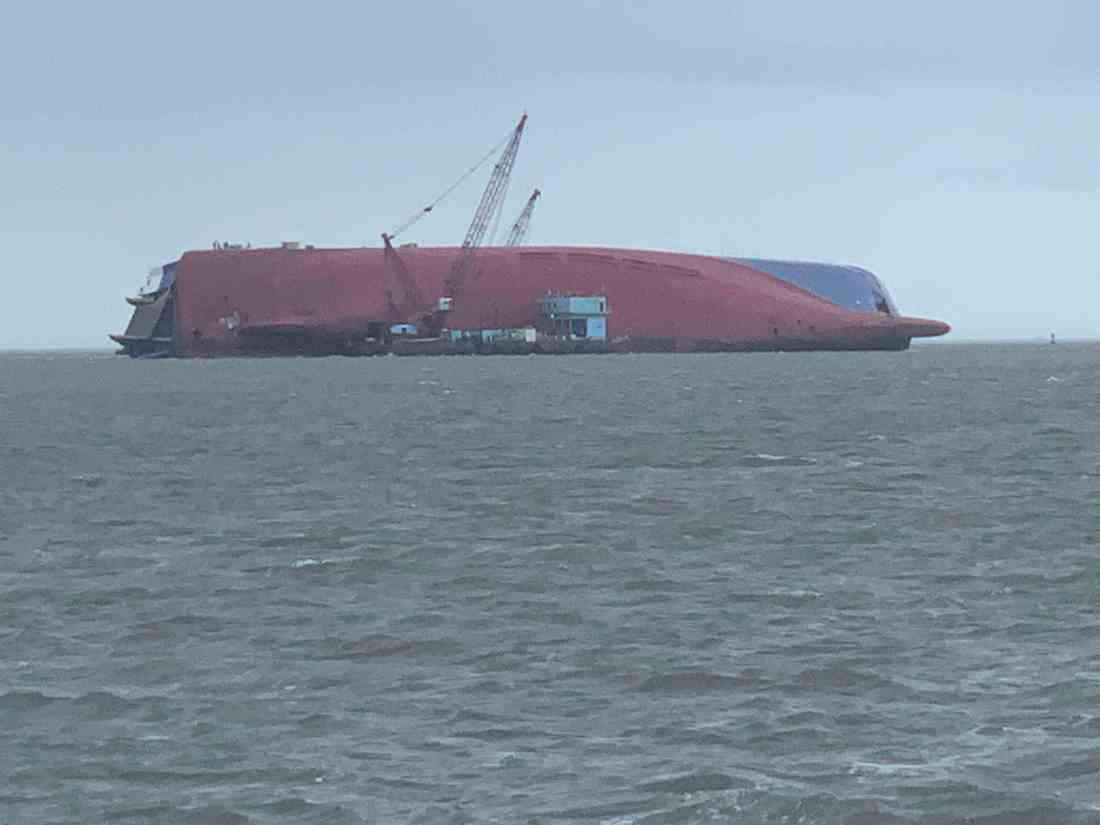
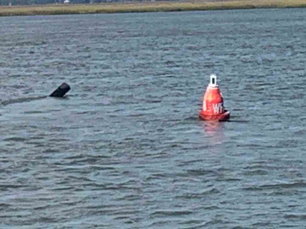
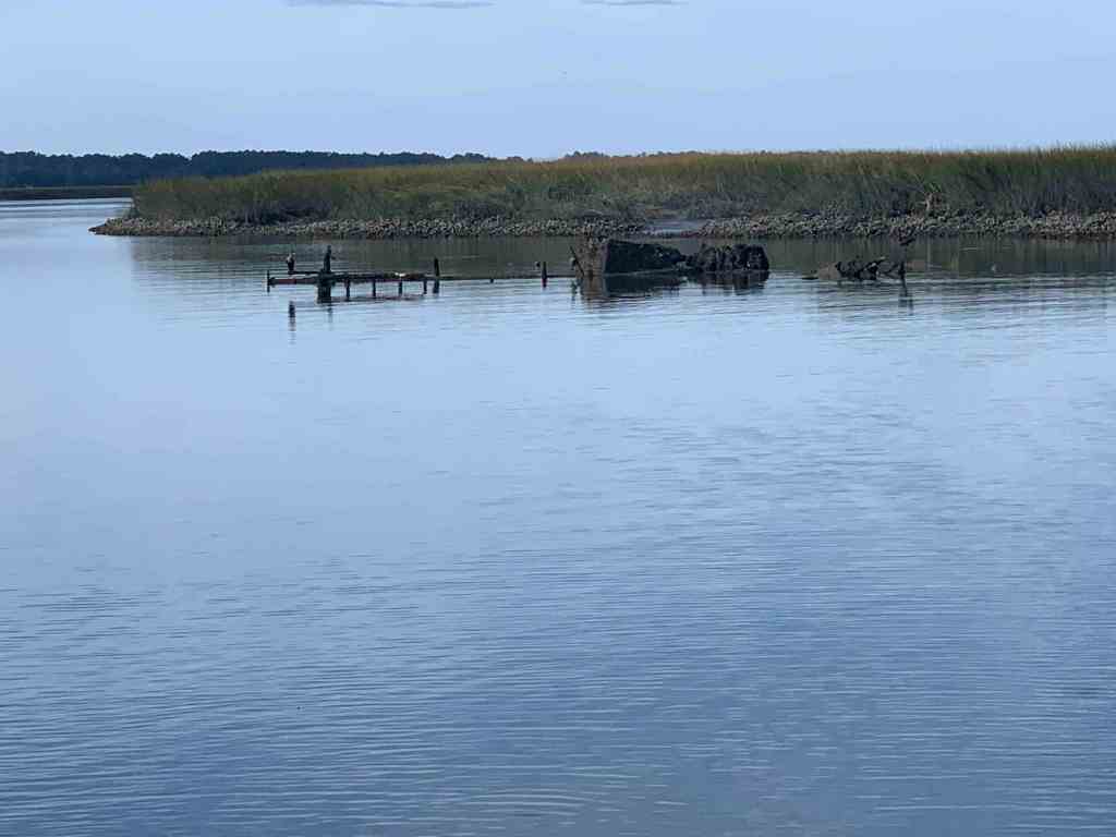
As we turned into Solomons Island we passed floating hay bails?

Anchored

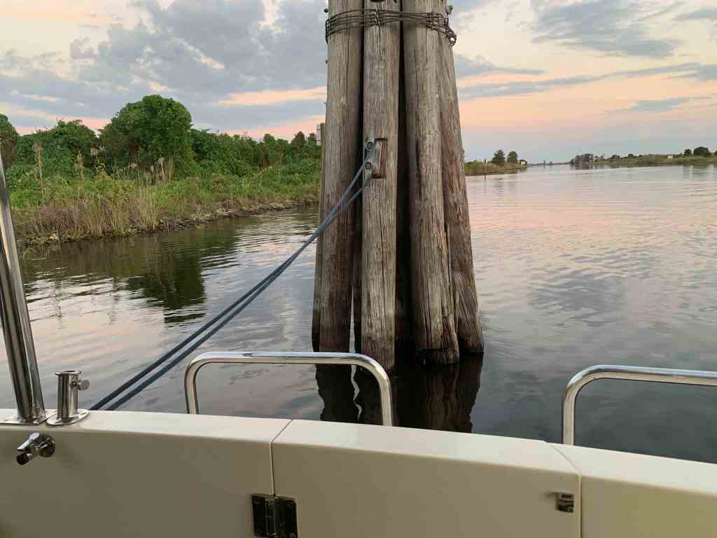
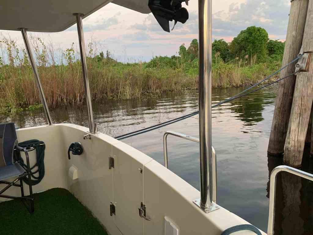
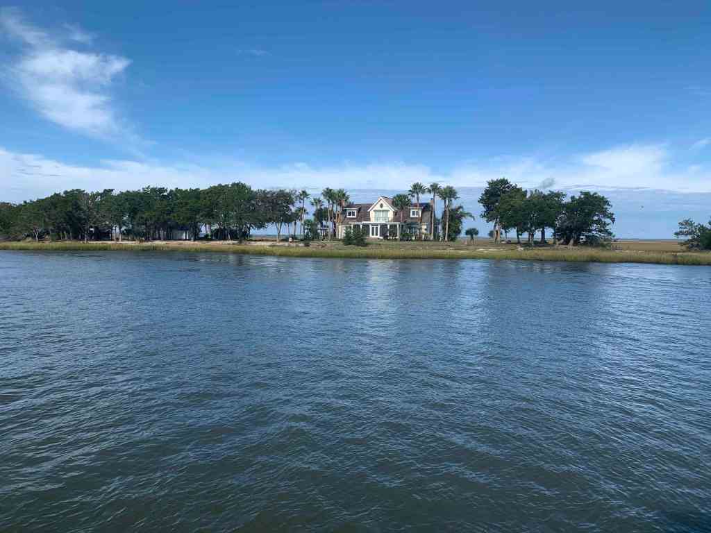
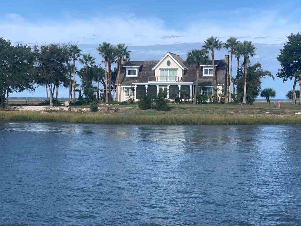
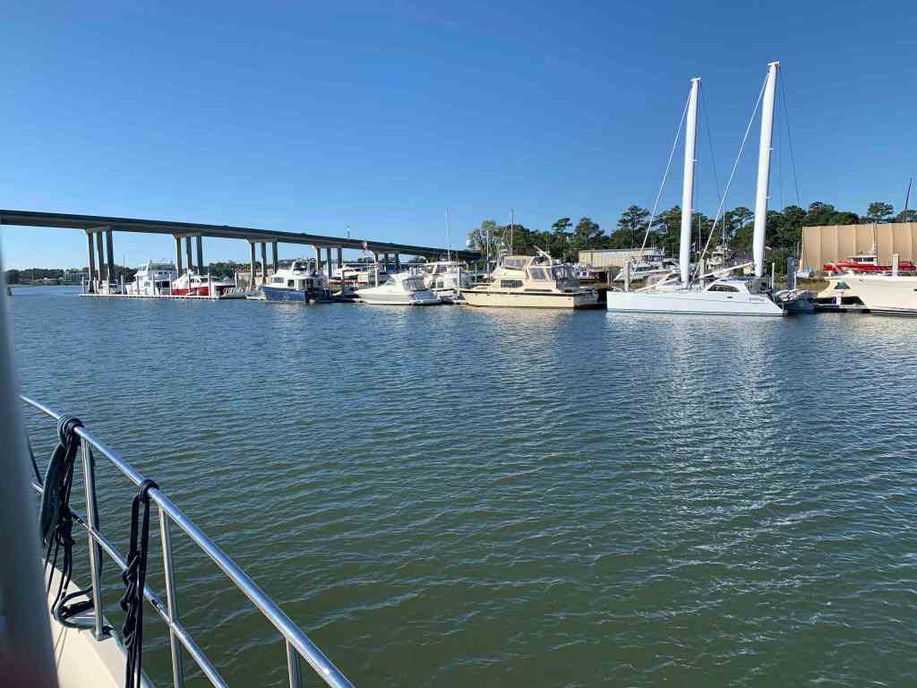
We had made reservations to spend the weekend at a marina in Solomons Island but left a day early as the weather would be better a day early. We slipped past Safe Harbor Marina and further up the Back River until there was nowhere else to go. A dead end. We squeezed Simple Life into a small cove surrounded by beautiful homes.
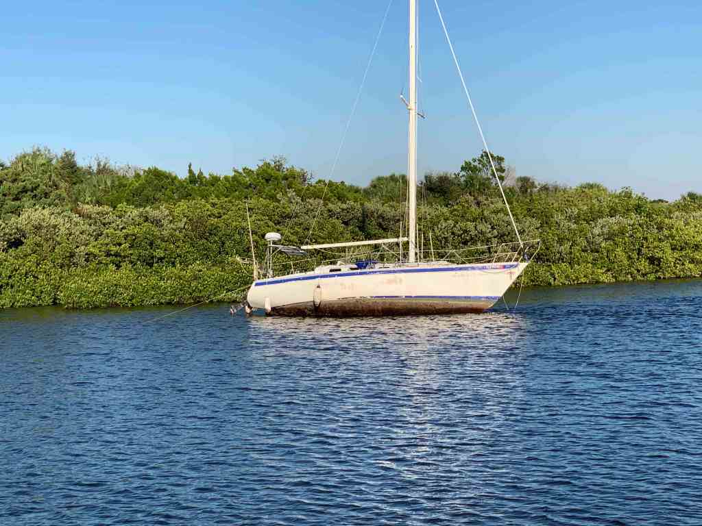
SV Alexandra

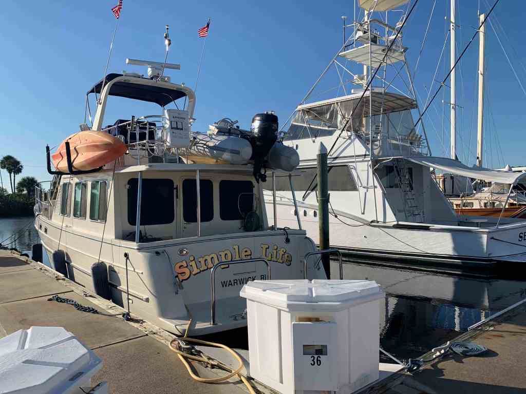
In the morning we weighed anchor and headed for the marina. As we hailed them on the VHF to find where are assigned slip was… They said the T-head of K dock.. I started to explain that without any letters on the docks I was not really sure where K-Dock was? I started to call out the names of the boats that were off my port and starboard bow. As I said the name of the second sailboat off my starboard bow, I paused. Our friends are here! We docked directly behind SV Alexandra.

SV Alexandra Docked in Maryland

We had planned to hit the Tiki Bar in Solomons Island but cleaning the decks would have to come first. While I worked the pressure washer, Teresa was baking my favorite Chocolate Chip Oatmeal cookies inside. Ain’t nothing like walking into a warm boat with the smell of cookies.

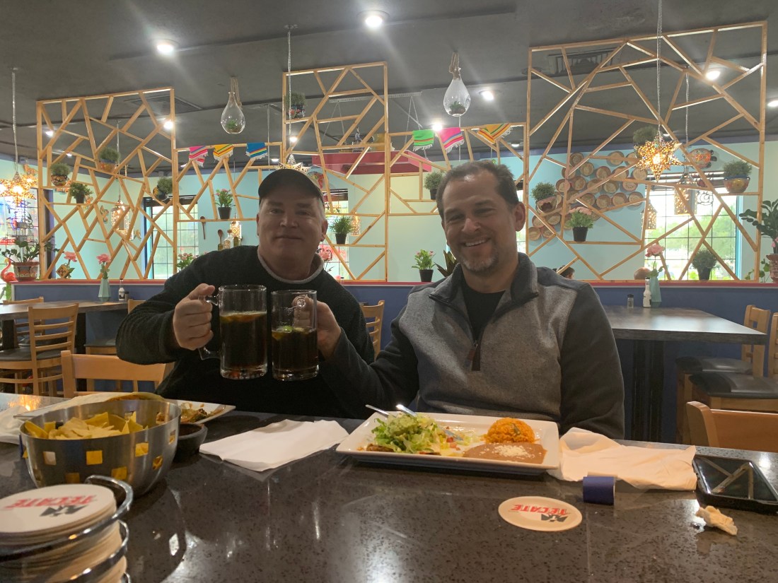
I was out on the docks when I heard my friend Carolyn yell “Marty”! Soon Carolyn and her captain Tim appeared and we made plans to catch up in Virginia while we enjoyed cookies.

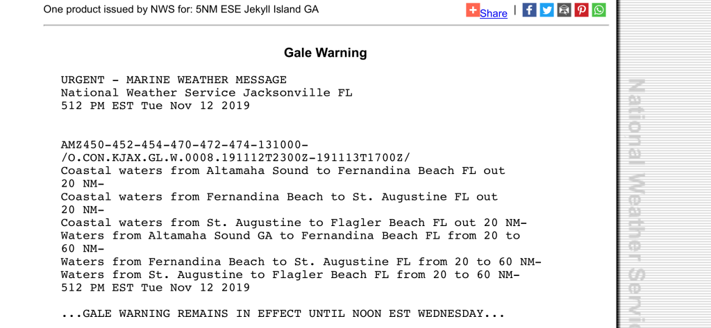
The next morning we awoke to the boat rocking and realized that the wind was gusting to 20kts. A great day to stay inside and binge on the TV show Friends. We are almost done with Season 1.

Altered Carbon

I have been trying to blend in watching a SciFi show called Altered Carbon. If you are a SciFi fan like me… the storyline is amazing. It’s set in the future when human consciousness can be downloaded into cortical stacks as DHF (Digital Human Freight) allowing your consciousness can be “re-sleeved” into numerous bodies. Takeshi Kovacs battles the Protectorate as he seeks his lover from hundreds of years ago.

What Ifs?

The imagined world includes holographic AI’s, synthetic bodies, beaming consciousness across the galaxy as well as raises questions of what if…

What if you could come back in any body when your current body wears out? What if your lover came back in the different body? How would you feel looking into the eyes of an body unfamiliar knowing it’s your lover behind them?

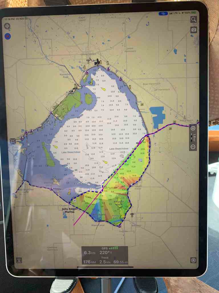
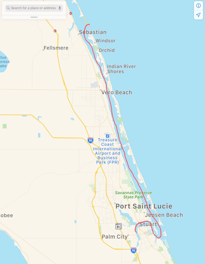
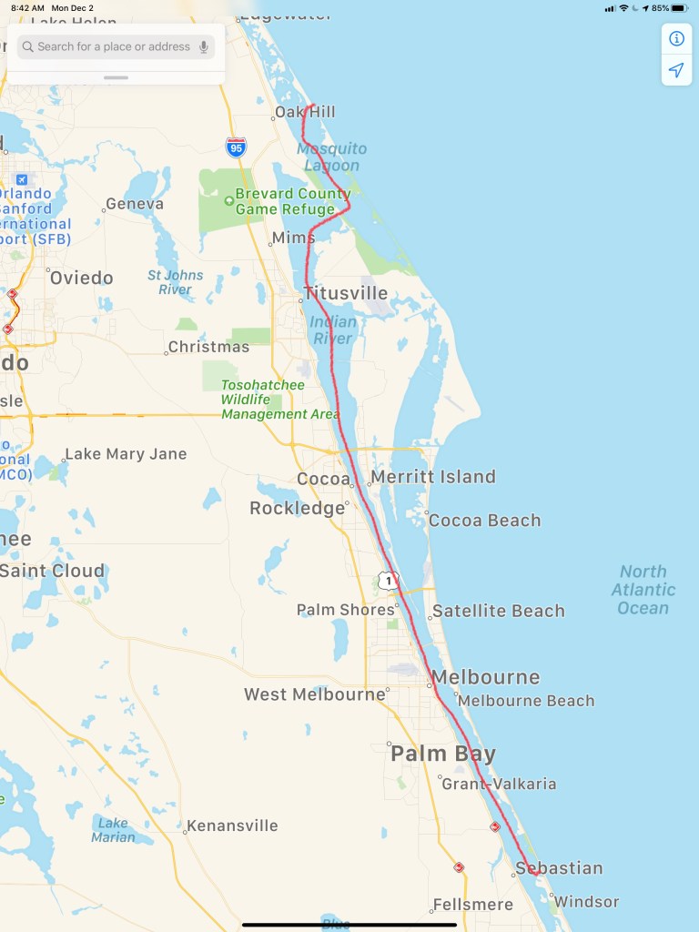
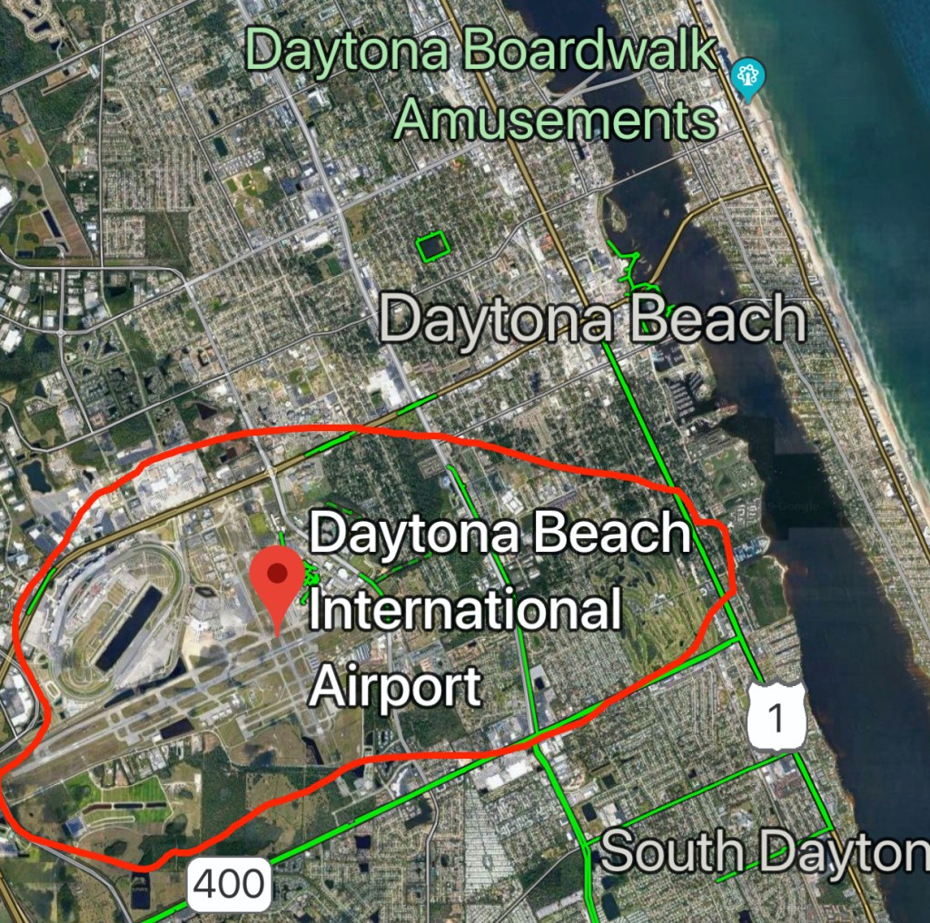
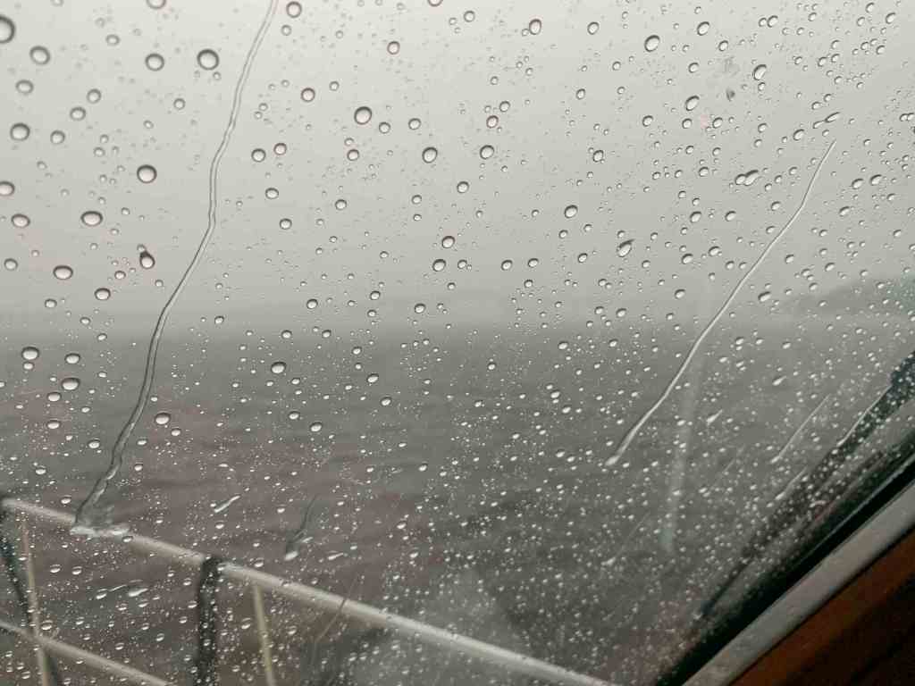
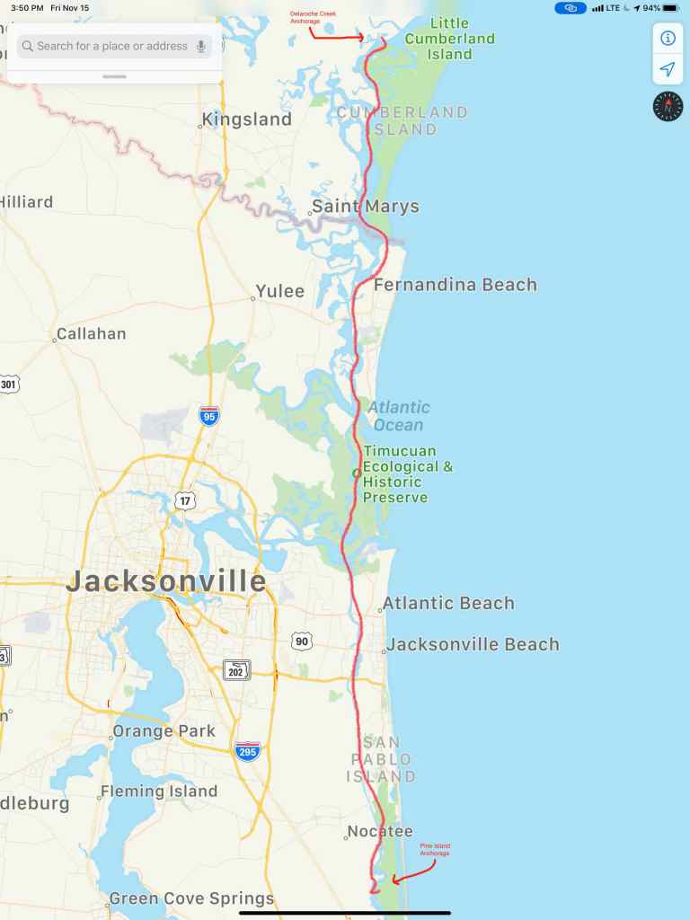
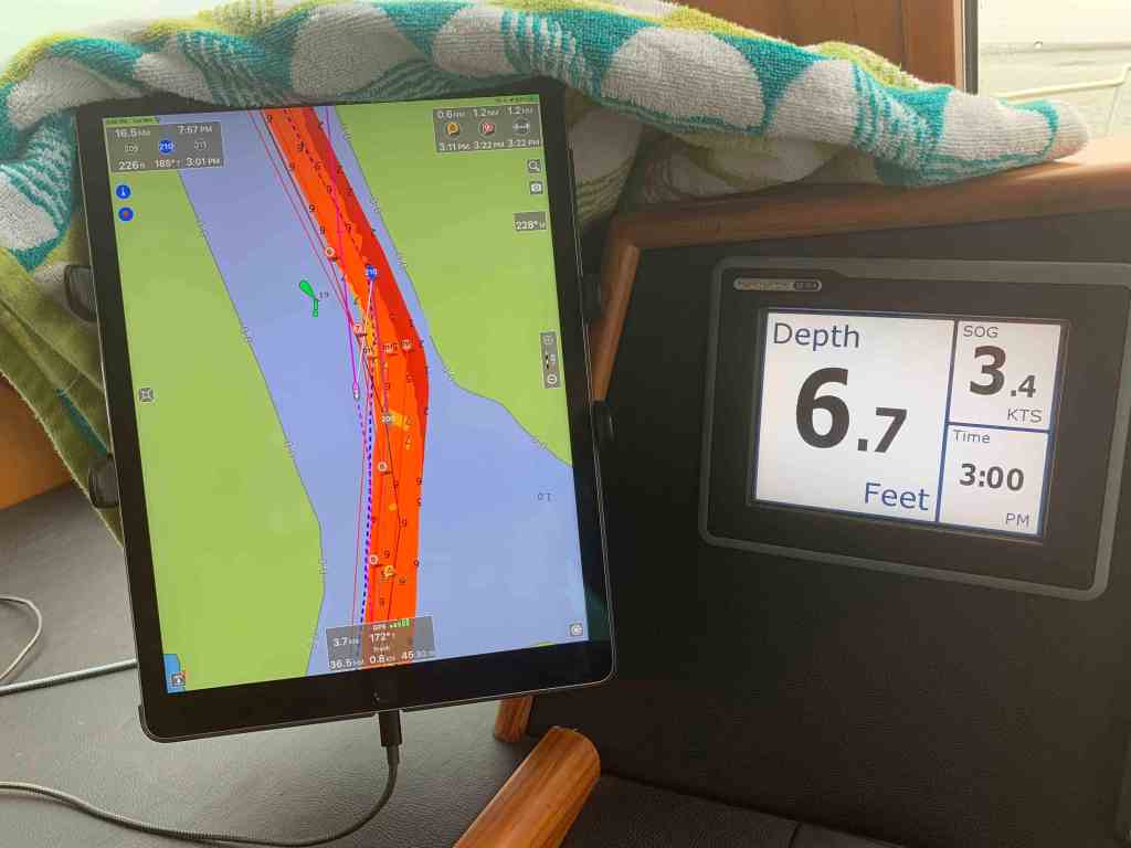
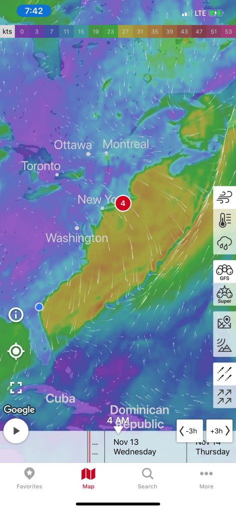
Our trip down mid Chesapeake Bay looked something like this.

W05L009 Route

Okeechobee my Lochloosa

The next morning we were underway at 6:42AM and I was snapping photos as we went.

There are many locks on the trip to Lake O. Below is a clip as we lock-through at the St. Lucie Lock & Dam.

As soon as you pass through the Port Mayaca lock you enter into Lake Okeechobee. I thought about anchoring on the eastern shore of Lake O for the night. I did the math and figured we could cross the lake (22NM) and make it the 33NM to the dolphins just outside the Moore Haven Lock. Moore Haven lock closes at 5PM and all vessels must arrive by 4:30PM to be allowed to enter the lock.

Just through Port Mayaca lock and into Lake O – 22NM crossing and another 11NM of canal before our tie up location in front of Moore Haven lock.

There was a fire in the distance and the winds where carrying ash in the wind and raining it down on the decks of MV Simple Life. We had to be careful not to track the ash inside and stain the carpets.

Osprey are everywhere on Lake O. Seems like every piling has it’s own Osprey.

There is a concrete cylinder in Lake O that I could only guess at what it’s function is or was?

Birds covering this concrete structure

You must be careful to stay in the channel in Lake O as it can get shallow.

Under 8′ Deep

The trees and vegetation in Lake O is photo-worthy.

Gators be a lounging in what’s left of the sun…

Florida Gators

This dude was out riding in his air boat with his black lab by his side.

Black Lab Airboat Ride

There is a special feeling that Lake Okeechobee bestows upon me. It’s hard to explain but we all have places that we go to just feel like the world is right. I’ve been listening to the blues lately. More specifically, JJ Grey and the Mofros. The tune “Lochloosa” sums it up.

Where is that place you go to recharge your soul?
Homesick but it's alright
Lochloosa is on my mind
She's on my mind

I swear it's ten thousand degrees in the shade
Lord have mercy knows - how much I love it

Every mosquito every rattlesnake
Every cane break – everything

Every alligator every black water swamp
Every freshwater spring – everything

All we need is one more damn developer
Tearing her heart out

All we need is one more Mickey Mouse
Another golf course another country club
Another gated community

Lord I need her
Lord I need her
And she's slipping away

If my grandfather could see her now
He'd lay down and die

Cause every minute every second every hour
Every day - Lord she's slipping away

Homesick but it's alright
Lochloosa is on my mind
She's on my mind

The sun was getting low and it was creating a mirror on the lake.

I walked out on the bow while underway to attempt to capture just how dreamlike this crossing can get when the sun is low and the water still.

Fantasy on Lake O

We had finally arrived at Moore Haven lock and it was closed for the night. We were stuck in Lake O for the night so I decided to tie to the dolphins for the night. A dolphin is a piling that is supported by many other pilings. You often find large ships laying up against them or tied to them. Tonight I would have to pull the bow up close to one of them to get a line on it. Then I’d have to let that bowline out as I backdown on the piling to my stern. Once I get a line of the piling behind me I would adjust the two lines so MV Simple Life would sit evenly between the two dolphins for the night.

In the morning we awoke to fog on Lake O.

Fog on Lake O

Lake O, I’ll be Baaaaccckkkk!

Plans Change Stuart

Tim (a.k.a. Maca) would eventually have to fly back North so … my original plan was to get the boat close to Fort Lauderdale or Miami international airport. Then as I was passing Jensen Beach I thought ..o0( Why not cut through the middle of Florida so Tim could catch a flight out of Fort Myers Airport on the west coast? ) The plan changed in that moment. I quickly thought up a new anchorage within daylight’s range of Jensen Beach.

Our new location took us into Port St. Lucie and it’s beautiful waterfront homes.

Dolphins are plentiful around Port Saint Lucie and this pod was enjoying swimming along with us.

With the sun was getting low, we only had to get through the Britt Point Railway Bridge and Old Roosevelt (Dixie Highway) Bridge to make it to our chosen anchoring location. When we arrived at the railway bridge we found a very-very long train passing over it.

The train finished the bridge raised and we hailed the Old Roosevelt (Dixie Highway) Bridge on the VHF for an opening. Soon we made it to my chosen anchoring location (shown by the blue dot below)

Anchor Drop Location in Stuart, FL

Winter #3, leg #23 looked like this.

The sun was down and it was time to bring out the green lights and start fishing.

The battle of the fishermen had begun and the captain walked away with bragging rights 😉

South to Sebastian

When the sun arose the next morning it treated us to an orange sunrise over Mosquito Lagoon.

“Because the sun is low on the horizon, sunlight passes through more air at sunset and sunrise than during the day, when the sun is higher in the sky. More atmosphere means more molecules to scatter the violet and blue light away from your eyes. … This is why sunsets are often yellow, orange, and red.”

Going under the Cocoa bridge – Look up & around and you’ll find workers trying to get right with the world again.

…”The Cocoa Bridge gives male inmates an opportunity to get their lives back on track. The foundation of the program is the Therapeutic Community Concepts, which are essential to maintaining a drug-free lifestyle in social contexts. With clinical supervision, this peer-led, peer-driven environment encourages the men to become active participants in their recovery.”

Bridges of America, Inc.
Cocoa Bridge

…”The NASA RR bridge is normally left in the open position, except in the case of approaching rail traffic (infrequent). This bridge is the main thoroughfare for shuttling heavy equipment and supplies to and from the JFK Space Center. Spent solid rocket boosters, rocket frames and other various material for the space program are normally shipped on rail and pass over this bridge.”

ActiveCaptain.com

This boat has a super bright light bar atop of it’s hardtop. Heck it was not even that dark out and that light bar was blinding when they were coming straight at us for a moment. I like the idea of having more lights on MV Simple Life. There are some nights when traveling in the pitch black that it would be a big help. I tend to only put my searchlight on for brief moments to not affect my night vision. Maybe I’ll install something smaller under the bow pulpit for lighting the crab/lobster pots at night without destroying my night vision?

Light Bar

I just love sunsets & stars every night on the boat. Too bad I can’t photograph or video the latter.

Our day’s journey took us from Mosquito Lagoon to Sebastion, FL.

Sebastian has a great live music scene. With visiting bands like, Mumford and Son’s and Joe Bonamassa. If we were not trying to get somewhere near an airport, we’d definitely have gone ashore for some live music.

Instead, we spent the night on anchor just inside of Sebastian inlet near coconut point.

Sebastian Inlet & State Park

…”Sebastian Inlet is 36.5 miles southward of Cape Canaveral Light. In May 1983, there was a reported controlling depth of 5 feet. It is further reported that the velocity of the tidal currents reaches 10 knots, and turbulence exists between the bridge and the end of the jetties. Anchoring east of the bridge is extremely hazardous, particularly by the stern. Except during flat calms, breaking and confused seas exist off the mouth of the inlet and inside the inlet as far as the bridge. Conditions worsen with increasing seas or winds and on an ebb tide. Small boats departing the inlet on a flood or slack tide can find it impossible to return on an ebb tide.”

By the morning, we had spun around with the Sebastian Inlet’s incoming and outgoing tide

Maca Climbs Aboard

Docked in Halifax Harbor Marina and waiting on Tim a.k.a Maca, I walked the docks and found SV Cool Change which had some interesting additions to the exterior.

Wind and LPG

I first noticed a vertical axis wind generator. Google seems to think it’s something called a “lantern style” and can be purchased from Chinese distributors. Heck, you can find them on Amazon too.

Plastic lantern-style vertical axis wind generator

Next I noticed that there were a total of eight, 20lb (size of your gas grill’s bottle at home) LPG tanks (4 on each side). 160lbs is a lot of propane! For those unfamiliar with sailboats: A few progressive sailors use propane for their dingy outboard.

More common is the use of propane for sailboat stove/ovens. Electric stoves use too much power to be run off an battery/inverter and require a diesel generator which many smaller sailboats either don’t have or want depleting their auxiliary engine’s diesel reserve. I have even spoken with southern sailors who have gone to the extreme of using a solar oven.

Marine Solar Stove

When I built MV Simple Life, I chose to outfit with an electric stove over propane.

I hate to think about propane leaks on a boat. I also hate going ashore to find a propane refilling station. MV Simple Life has a 9KW Northern Lights generator and 440 gallons of diesel so why not just start the genset when you want to use the oven and never spend time tanking an Uber to somewhere ashore to refill a propane tank.

NORTHERN LIGHTS M773LW3 – 9kW 1800 RPM 60 Hz MARINE GENERATOR

There are many Chinese systems that can be commonly found on US cruising boats, chinese-diesel-fired-forced-hot-air-heaters is a common one as are the cheap mopeds and much more portable kick scooters that you see everywhere.

Halifax Harbor Marina had given me some tourist maps when I arrived. Lots to do and see…

Tim arrived and we set out south down the ICW. We passed many interesting sights that first day.

As the sun sunk low we prepared to anchor in Mosquito Lagoon that first night.

Our day’s journey looked something like this.

W03L021 –
Daytona Beach – Mosquito Lagoon

Daytona Jay

While sitting on anchor in Daytona, I connected with my friend Jay who I had not seen in years. Jay mentioned that there was a marina a block from his house so I gave them a call and requested a slip. The marina replied that MV Simple Life was too big for their slips as they stop at 42′. When I explained “that was too bad as my friend lives right around the corner”, the marina manager said “if you want to attempt to come in, we’ll find a spot for you on our fuel dock”. I kindly accepted and weighed anchor and headed the 5NM south to the small marina.

When I arrived at the entrance channel the wind was honking and the channel was very narrow. I had to crab the boat into the wind (keep the bow pointing into the wind while moving sideways) and squeeze through pilings that mark the channel edges. Once inside the dockhands were helpful in catching my lines that I had pre-set draped over the sides of the hull.

MV Simple Life safely tied up at Seven Seas Marina in Daytona Beach. You can see the wind in my American flags is hard against my port side.

Once tied up Jay pulled in and off we went to grab some Mexican food.

mucho grande cerveza with Jay

It was a ton of fun to connect with Jay and we started by stopping over a friends house who introduced me to his dog. He told me it was a Corgi-Pit mix. So I had this picture in my head.

Corgi

I’ll let you decide how accurate he was…

Corgi-Pit mix doing some tree trimming

Soon it was time to find some live music so we set out on a tour of Daytona Beach’s hot spots.

Daytona Taproom

Booze and axe throwing… seems legit.

I’m not sure I’d want my girlfriend practicing her axe throwing?

We decided to make a run to New Symrna Beach and we found some 80’s music.

Any Way You Want It

We walked into the back door of a pub and found friends of Jay’s playing on stage.

The Click Playing in a small venue in New Symrna Beach

At some point we wound up in a smokey little dive bar called YAYAs for some karaoke. What to sing?

NIB

I returned to MV Simple Life and snapped this picture… I’m thought it was me that was blurry?

Blurry Night

By the morning’s light the wind had let up enough to get off the dock. I had a friend flying into Daytona International Airport and this marina is on the wrong side of the ICW. I called Halifax Harbor Marina and rented a slip that was as close to the airport as I could get.

Slipped in Halifax Harbor Marina

The marina was a great place to visit. In the morning I grabbed a coffee and walked the docks and more.

Memorial Bridge Anchorage

The trip from my Pine Island which is just north of St. Augustine, FL to Daytona, FL looked something like this.

W03L019 Leg

As I came into St. Augustine there were surfers who were catching some pretty good waves in the St. Augustine inlet. I tried to video the surfers but with the current on my stern, I was passing a bit too fast to capture it.

Next I had to hail the famous Bridge of Lions in St. Augustine on VHF CH#09 to let them know I would be waiting on their next opening.

The Bridge of Lions bridge tender let me know that only half of the bridge would be opening. This meant that with a strong current and only one side of the bridge opening, I’d have to hail any north-bound vessels and arrange which boats go through the narrow opening first. The rarely known convention is that the vessels with the current on their stern go through first.

While passing through St. Augustine I had a nice view of the city and some boats.

Just south of Flagler Beach, FL I came across this amphibious excavator driving on the water.

Amphibious Excavator on the ICW

The weather was warm but showed the next few days were going to be cold.

Warm today, cold next few days

I was coming to Daytona, FL to hopefully meet up with an old friend from high school as well as pickup a childhood friend who was flying into Daytona airport to come aboard and travel south with me for a week or more. I chose this anchorage (located just south of the closest ICW bridge to the airport, Memorial Bridge) because it is only 5 miles or so from Daytona International Airport.

The weather when I awoke on anchor was cold and rainy.

Rainy View from the Pilothouse

Storms were moving across the area.

Storms passing through

But my anchor was holding fast. This screen capture of my Anchor alarm app shows the boats motion as I swing back and forth with the wind & current on anchor.

Screen Capture of my Anchor! iPhone App. The colored lines are my path as I swing about on anchor.

While I sat on anchor I was treated to the woman’s crew team rowing by for most of the day. I’m not sure if this woman’s crew were affiliated with Embry-Riddle Aeronautical University or the Halifax Rowing Association? Update: After actually watching the video and seeing the “H” on their oars… I’m going with Halifax Rowing Association (grin).

Woman’s Crew Team

Now off to find my friend Jay…

Cumberland Island to Pine Island

It’s 3AM do You Know Where Your Boat is?

It’s 3AM, the wind is gusting and I’m up checking weather and tides.

It’s almost low tide and I’m anchored in a narrow creek with the wind blowing me towards the creek bank. Oh great, I only got another 3 hours and 19 minutes till the that burning disc comes up.

The USCG Gale Warning is still in effect till about noon today.

USCG Gale Warning Still in Effect

Into the Mystic

OK, the sun is up and I’m underway with that still ominous sky above me.

The offshore cold front has dropped the temp. Fog is building on the waters surface. It’s a strange thing to be piloting straight down a river that has the fog blowing by you from behind.

King’s Bay Naval Base

At the end of the above video you can see the USCG boat appearing out of the fog. Below is a video of them circling around me before hailing me to explain that the US Navy was carrying out exercises in Cumberland Sound that could interfere or damage my electronics if I got too close. They wanted to know what my intentions were. I explained that I was an ICW boater and would be crossing Cumberland Sound bound for the Amelia River in Fernandina Beach and points south. They politely asked me to stay 2000 yards from the naval ships or as far away as possible while still safely navigating.

USCG Approaching MV Simple Life
USCG Boat moored on the CG mooring ball near entrance to Amelia River

Cumberland Sound is home to the King’s Bay Naval Submarines Base. There are six Trident-class submarines stationed here.  There is a a long deep channel cut through the shallow coastal shelf and muddy tidal Cumberland Sounds, to the Atlantic ocean. This allows for the submarines to pass. Every time I cross Cumberland Sound I have interactions with the Navy security boat or USCG. Recreational boaters are not permitted in the King’s Bay area west of the ICW Channel.

Entering the Amelia River I passed this USCG boat.

USCG Boat in the Amelia River

Welcome to Florida!

The St. Mary’s River divides Georgia from Florida. The town of St. Mary’s is on the northern Georgia side of the river and Fernandina Beach is on the southern Florida side. When you sail into Fernandina Beach you’ll find the WestRock Industrial wood pulp plant and CHP (Combined Heat & Power) plants along the shore. Industry began here after the great depression with a wood pulp plant. Now there is a cluster of both power, wood and packaging plants located here partly due to the railway and harbor.

I think it was Hurricane Matthew that caused a lot of damage to the Fernandina Beach area and boats.

Hurricane Matthew Oct 2016 just offshore of Amelia Island

MV Acadia had followed me through the Navy exercises area and was now breaking off to go anchor in the Amelia River. I’ve anchored in the Amelia River a few times. Today however, I planned to use of all the daylight to get south of Jacksonville, FL. That would allow me to make Daytona Beach the next day.

FV Gina Ann with all her gear proudly displayed

I often see this police line-up of birds on the shore. I wonder why they group like that?

Birds of a feather…Line up together

It was lunch time and I have to keep the boat moving so I bring all my ingredients to the helm and make my lunch while I drive.

Soon I came to Jacksonville, FL and I cross over the St. John’s River and into Pablo Creek heading south. There is a tight bridge that I have gone under many times but as I approached it I could that the strong current was producing 2-3′ standing waves on the down current side of the bridge.

Pablo Creek Bridge Jacksonville, FL

I use a user sourced digital cruising guide called Active Captain to keep me aware of all the marinas, anchorages and hazards along my route. Below I pasted my review of the AC strong current hazard located at Pablo Creek bridge.

Please note: There is a current station for this bridge. In order to see it in Aqua Maps, I had to zoom way in. It was hidden under the tide station located just north of the bridge. The current station is named. “Pablo Creek bascule bridge”. 

I have been under this bridge 4 times without concern. This time I hit it right at max ebb 5.67kts on a full moon with strong opposing winds (gale warning ended 2hours earlier). There were 2’+ standing waves on the down current side of the bridge. The strong current was catching my full keel causing me to make huge port and starboard rudder corrections. 

It’s narrow between the bridge fenders.  With no boats behind me… I kicked it in neutral and it spat me out like a toddler does to their first taste of broccoli. 

I chose to anchor in the Active Captain Anchorage called “Atlantic Blvd Br.” Just NE of the bridge. I waited for it to slow down a bit. Waiting meant I’d have to burn more fuel to get to my chosen “Pine Island Anchorage” before dark. I’d rather pay a fuel bill than a fiberglass bill. Be careful if you are a full-keel trawler with low power and/or a small rudder. 

Capt Mahty

Waiting for the current to slow slightly had cost me time and I would not make it to my chosen anchorage until dark. I still say it was the right move rather than risk getting slammed into the bridge’s fender boards.

This leg of my winter journey looked something like this.

Wo3L018 – Winter 03 Leg 018

Sapelo Island to Cumberland Island

Orange in the AM

Sunrises in the low lands of Georgia are amazing.

Sunrise over Sapelo Island, GA

Get Up You Lazy Captain!

If you read the last post, I wrote about how 50 NM / day can be done but you have to get an early start. Well, I didn’t.

9:20AM Weighing of the Anchor

Tortoise and the Hare

Right of the bat I had a much faster boat pass me by. I’m sure he gets his 50NM in before noon.

Raised Salon Cruiser

Anyone Home?

I found this home on a small island interesting as I passed.

ATONs

ATONs (Aids TO Navigation) or buoys if you will, are important things to pay attention to on the ICW.

deadhead sticking up behind a buoy.

World is Ablaze

As I was approaching Brunswick, GA it looked like the world was burning.

No idea what was burning but there was a lot of smoke

Traffic

I hailed this tug & barge on the VHF and let him know that I would push over to the edge of the channel as soon as I rounded a narrow bend in the river.

The Unexpected

Next came something I did not expect. When I first saw it I had no idea what it was. I spy’d it with my binoculars but I still could not identify it.

What is that?

Turns out this is the underside of the 656 foot long Korean RoRo cargo ship called “Golden Ray” that capsized in Cumberland Sound on September 8th, 2019. While 4 of the 24 crew members were missing 3 were later rescued and even the 4th was pulled out alive. They were trapped with a fire that was roasting them alive while they were stuffing their pockets with ice to stay cool.

Slow as She Shallows

I was making my way down Jekyll Creek just off Jekyll Island. I found shallows.

Note the slow speed for shallow water

Foreboding

As I glanced up at the sky I could see that it was getting lower and darker.

A darkened sky ahead

Time to stop being a lazy captain and check the weather.

Gale Warning starting at … Well NOW
Offshore Weather Front

You Ain’t Be Around if You Ain’t Been Aground

I was happy that my anchorage was quickly approaching. However, before I could get to my chosen anchor location I came around a turn in the bend to find this trawler aground.

Like I always say, “If you want to know where it’s shallow… it’s where the birds are standing”

Have You Been Paying Attention?

Have you have been paying attention? Did you read my last blog post about how I plan on making 50NM legs like this leg shown below?

W03L017 Crescent River Anch – Delaroche Creek Anch

Well I got a late start, I ran into shallow water, Gale Warnings, slowed for all kinds of things like trawlers aground. When did I get to my anchorage? In the dark with gale warnings. OK, It may have been gale warnings out on the ocean but only strong gusty winds where I was anchoring. That said, I’m in the Georgia low lands. Nothing sticks up high enough to buffer the winds. I did not snap a pic while anchored because it was just black out. Anchoring did not go smoothly. I had a strong wind perpendicular to a strong current and I was challenged to find a spot that did not have the wind swinging Simple Life onto the creek bank. It’s going to be a long night on anchor. Now where did I put those IPAs?

D9 Brewing Company Hakuna Matata Tropical IPA

Savannah to Sapelo Island

Stay or Pull Out?

I was in Savannah. It was 6AM. My guests had departed. I had rented the slip till checkout at 11AM. I wanted so bad to spend my morning strolling around Savannah but the currents were already building against the back of the boat. When you are single handed, a strong current like that can pin you to the dock or worse send you smashing into it. Leaving early before the current got too strong was the right choice. As I pulled away from the dock, I reflected for a moment and thought… “I’ll be back”.

As I headed back down the Savannah River I chose a short cut that leads back to the ICW but further south. I had never taken this short cut and it turned out to be a wise move cutting maybe 40 minutes off my day’s leg.

Fuel Conservation and Distance Traveled

From this point on I would plan my routes to only 50NM a day. I would run at only 1400 RPM and burn around 2 gallons of diesel an hour or about $6/hr. Which is much better than the roughly $18/hr I had been running.

1.9 Gallons of Diesel an Hour

Leaving the throttle at this RPM means my speed will change as the currents are either with me 8 kts or against me 4 kts. Taking an average of 6 kts x 10 hours of daylight for these latitudes / season is 60NM in a single day.

Delays! Think about what slows you down.

  1. Bad weather – Wind against you.
  2. Bad luck hitting currents mostly against you.
  3. Shallow areas where you must slow down to prevent running the boat aground at speed.
  4. Late starts means not pulling up the anchor right at sunrise.
  5. Time spent waiting for bridges to open and let you pass under.
  6. No Wake Zones – Near marinas, anchored boats, homes with boats in the water, kayakers, paddle boarders, etc.
  7. Arriving at your intended anchorage and it’s full meaning you must push on to the next anchorage. Sometimes this is over an hour away.

I have found that 50NM / day can at times mean arriving at your intended anchorage in the dark if you are not timely.

South of Savannah

One of the first spots you come to is Thunderbolt, GA. Here I pass the Hinkley Yacht Services and their docks. There are always pretty boats to be seen.

I pass many commercial fisherman.

When I arrived at the Crescent River where I intended to anchor, the last bit of light was fading. I snapped a picture but I think the video captured more of its beauty.

Day Two in the Crescent River

I awoke in the AM and just decided I was not going to leave. I thought… why not spend a quiet day on anchor?

Early this morning a commercial fishing boat gently passed by me at around 4AM.

4AM pass by me on anchor

I was relaxing when I thought did I hear a knock on my hull? I opened the back door to find a fellow cruiser in his dinghy asking me if I wanted an shrimp from the local fish market that he was going to. I replied, thanks but I was not in the mood for shrimp (after all you have to cook those things). We chatted for a while about where he was going (Exumas, Bahamas) and he dashed away in his dinghy.

The tides run about 8 feet in these parts of Georgia. You must be careful when you anchor at high tide that six hours later you won’t swing into a shallow and ground yourself. I had circled my chosen anchor drop location to test the depths out to a radius of my intended anchor rode length + boat length to make sure. My notes about this location marked an old dock hidden beneath the waters so I made sure to anchor away from it. In the morning it was low tide and I saw that the location was not where the previous captain had stated but in fact was very close to where I anchored. I updated the hazard location in the database for future captains that might choose to anchor here.

Old Dock of sorts a distance off the shore and exposed at low tide

I use an anchor alarm app called “Anchor!” on my iPhone and it showed that while I move with the switching current I stayed parallel to the river bank. That is usually the case when you don’t have a strong crosswind.

Winter 03 Leg #16 had looked something like this…

Winter 03 Leg #16