
We got a late start leaving St. James Plantation Marina in North Carolina. I think we were enjoying ourselves and were just slow getting moving in the AM. Kelly eventually woke and made an amazing breakfast on the griddle and I filled the water tanks, emptied the trash and pulled the boat over the pump-out and we were off.
Pulling out of the marina we were reminded how beautiful the houses are and what a great place this is.

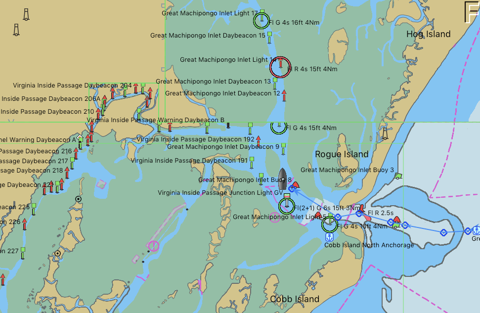
As we exited into the ICW and headed South, we were reminded that this area has strong currents and tricky shoals that form around both Lockwood Folly Inlet and Shallotte’s Inlet. To offset the danger of running aground on a shoal we spent the wee hours downloading the US ACE (Army Corp of Engineering) navigation hydrologic maps of the inlets. What a great job the ACE does surveying these tricky inlets and making the sounding maps available for FREE to snowbirds like us. Thank you.

Current rip in the inlets.  Each Division / District has its own website so you’ll have to spend some time finding the hydrologic maps from each ACE District.
  That’s a narrow drugged channel that you must stay inside of
  Stay to Port.
As we headed South we saw many beautiful sights.
 We have no idea what species of bird this is but we are committed to learning more about the aquatic bird species that inhabit the ICW.
This lighthouse was somewhere around Myrtle Beach. It’s though to see but there were Christmas lights strung off the walkway around the light. 
An Atlantic Ocean inlet. Maybe this was around Lockwood Folly Inlet?
We find the breaking waves beautiful. What a great beach for walking the dog or just contemplating life. I think the sign said something like Greg Norman’s Australian grille
 We love that this guy was taking his dog for a ride. Man’s best friend loves the boat says Happy & Chief Martin Brody.
  “Born 200 years too late” – Jimmy Buffett
 Somewhere Myrtle Beach
 Close Encounters or an airport building, you decide.
 Who wants to walk under this rack with high winds and a 10K lb boat resting 80′ over your head?
There are many dangers along the ICW..

Slow down and read the signs of life… they point toward safety Logs are the bumps in road of life They thud your hull or fold your wheel (that’s a propeller for the un-initiated)
 We hate to see beautiful commercial fishing boats listing on the bottom. We joke that we’d love to pull her up drain her beige, gut her and rebuild her giving her a sexy teak makeover. Kelly reminds me that the stink of a fishing boat is not washed off with soap.
 Ouch!
Ouch!
Heart breaking.
Well, we anchored in a narrow creek tonight. It’s inky black and a bit windy but we buried the 90 pound and 3/8 chain anchor deep by backing down on it. We were forced to only let out a short scope of rode. Any more and when the tide reverses we’ll swing into the banks of this narrow creek. So we’ll call it a night and make our way to Georgetown, SC in the AM.


You must be logged in to post a comment.