
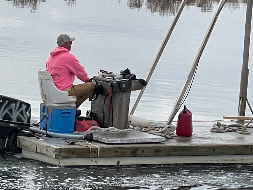
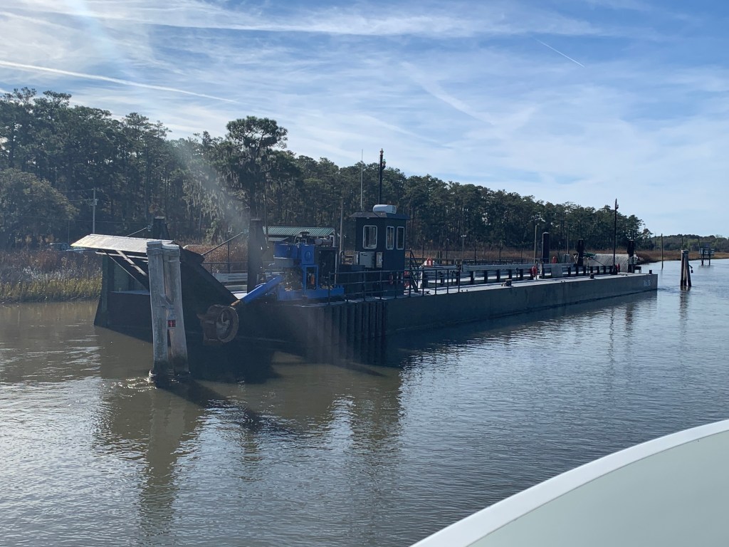
We were on our way to Southport, NC to see our friends Jim & Wende. We had to slow down to no wake speed to keep from swamping this fella who was motoring a small work barge down the ICW.
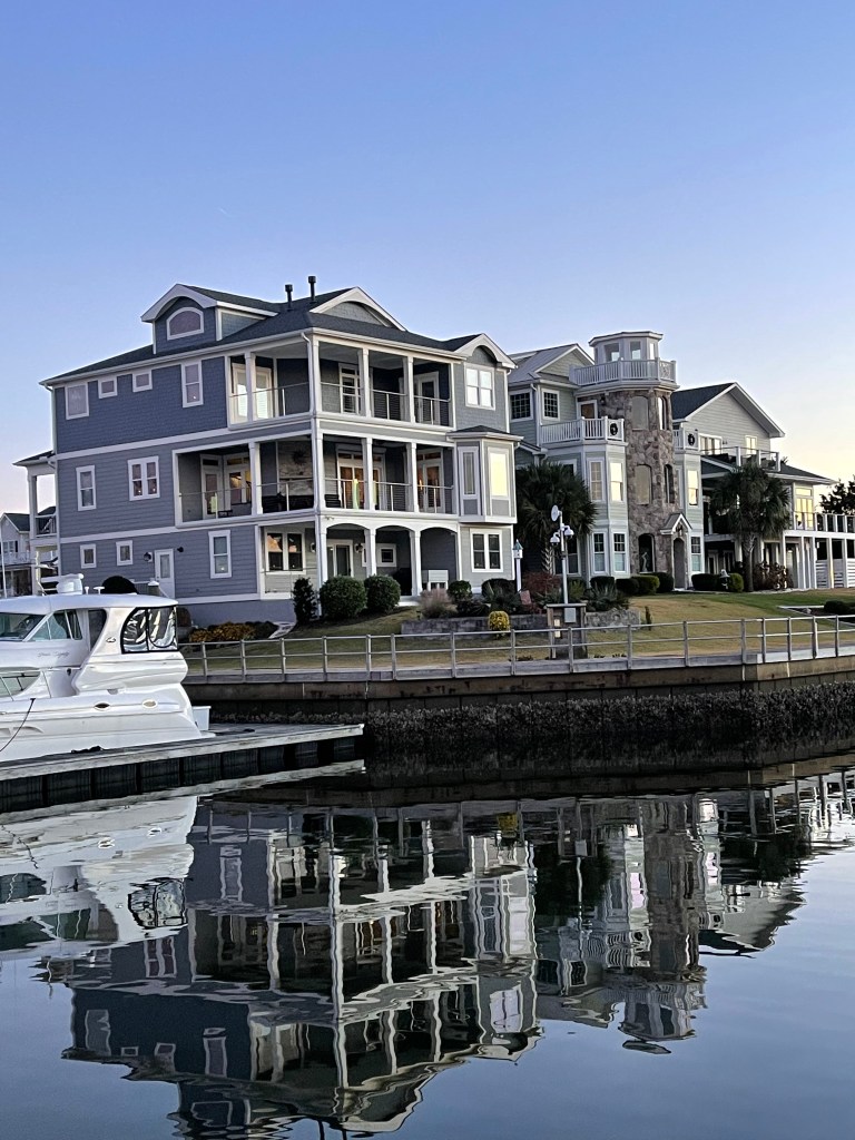
We arrived at St. James Plantation Marina just before sundown. The homes along the harbor are beautiful.


Jim and Wende let us use their truck to reprovision which was perfect as it was the day before Thanksgiving and we needed TURKEY!
Later that night Jim & Wende took us to dinner at a Joseph’s Italian Bistro @ Safe Harbor Marina. We had dinner with some good local IPAs & lots of laughs. I wish we had taken a photo but I think we were just having too much fun. Jim and Wende told us all about their trip back from Buzzards Bay, MA to Southport, NC in their new Pursuit OS 355. The weather was a bit ruff off the RI coast but they made great time with stops in places like Atlantic City.

In the AM we were off and Capt T was at the helm.

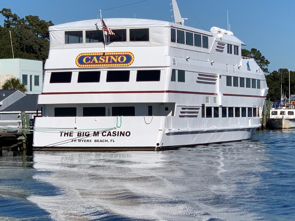
We passed a boat dock that was more boat than dock. Capt T thought she recognized a casino boat as we passed and sure enough the “Big M” hailed from Fort Myers, FL.
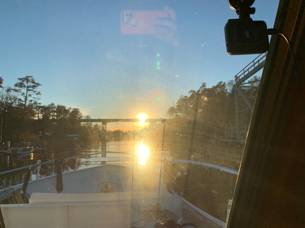
As we made our way into the Waccamaw River preserve we had to get through the Socastee swing bridge but we were staring straight into the sun. The best we could do was go slow and use the radar to see in front of the boat.
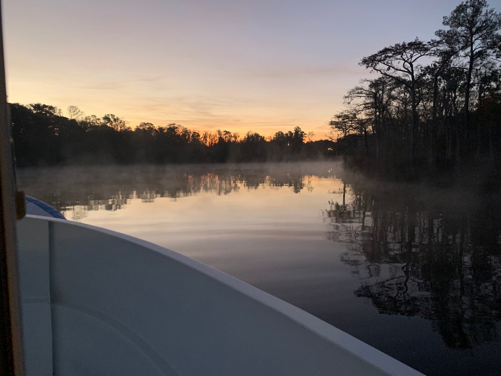
We anchored in what I call the Waccamaw River (ie. swamp) and it’s beautiful. We had a great night on anchor as the high trees provide protection from everything but the cold.
It was COLD.

We weighed anchor at first light and the swamp was steaming due to early morning low temps.
We had to slow to no wake so as to not disturb this Nordhavn anchored right off the main ICW route.

The next swing bridge is actually a floating swing bridge. Very cool. It simply uses drop-able drive-on ramps and a huge tilt-able bow thruster.

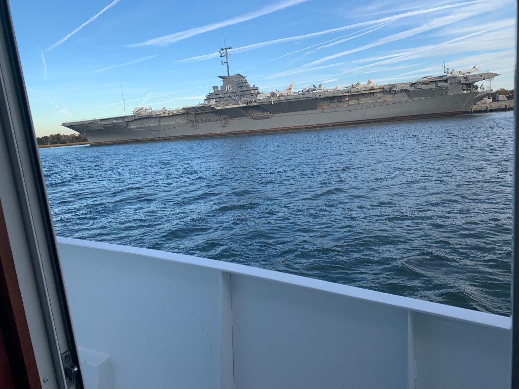
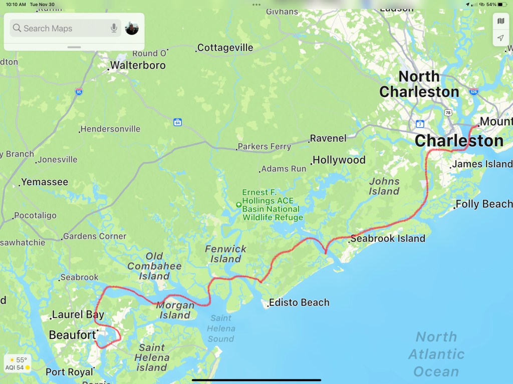
We arrived in Charleston, SC and the marina we requested a slip from had us “wait-listed”. We anchored for the night next to the USS Yorktown.
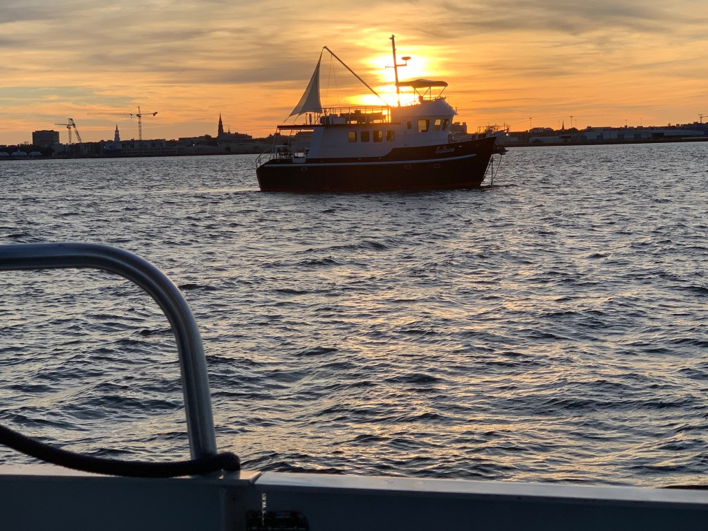
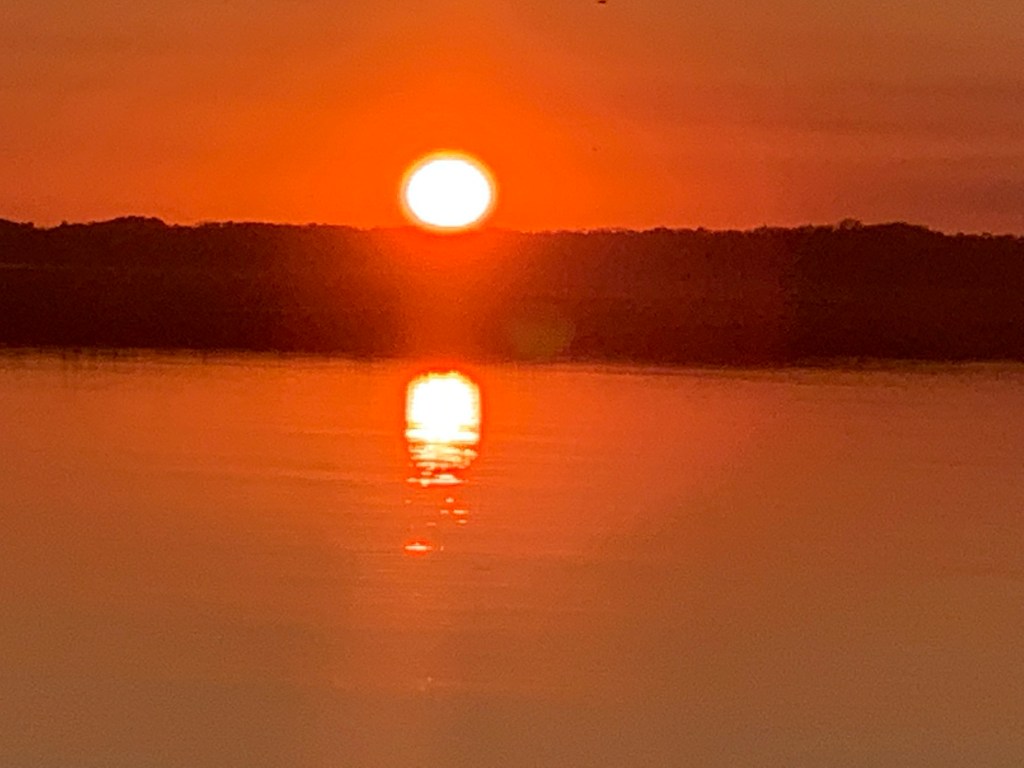
The sun was setting on Charleston.

Sunrise in the AM and we were off… bound for Beaufort, SC

We anchored in Beaufort with hopes of getting off the waitlist for the marina. In the AM we called and they found a spot for us on the outer face dock.

Beaufort is a fun town and we wasted no time getting ashore at Plums Restaurant for some lunch.

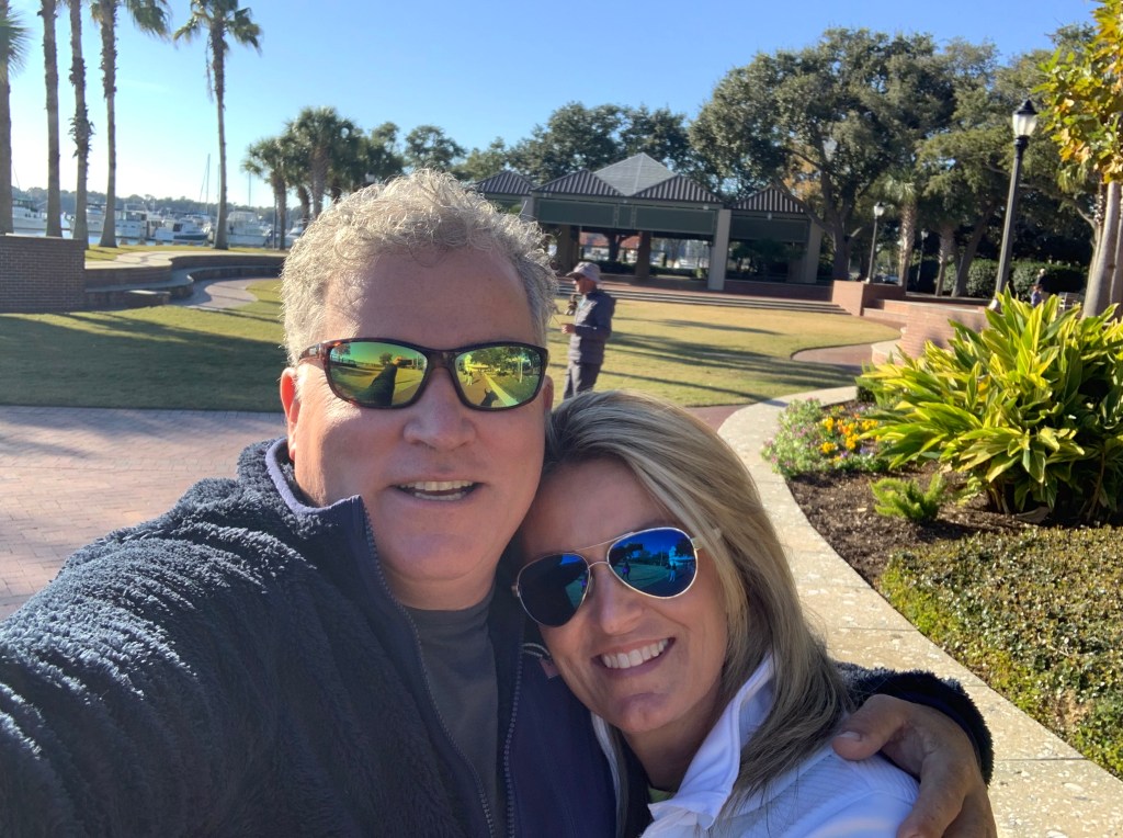
We napped after lunch and made a second run on the town before we would leave in the AM. Beaufort has a great outside park area right in front of the marina.

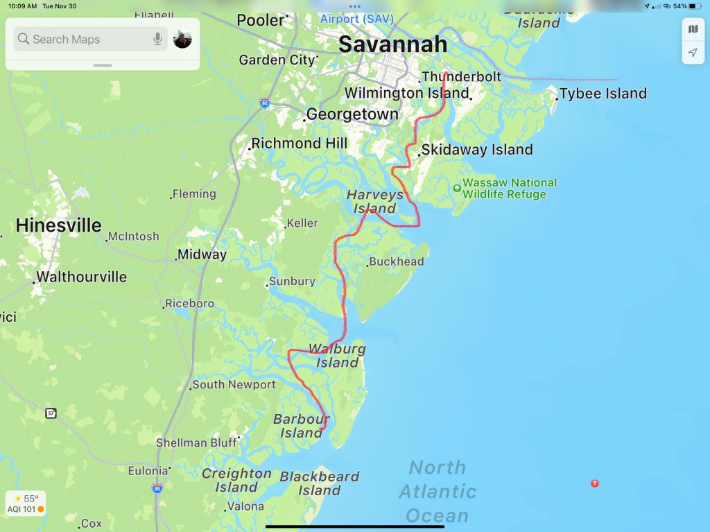
In the morning we were off to Savannah, GA. Last time I docked right in downtown around River Street but felt it a bit seedy at night. We decided to stay at Thunderbolt Marina and Uber’d into town for a Savannah pub crawl.


Are impromptu pub crawl consisted of the following venues:
- Spanky’s
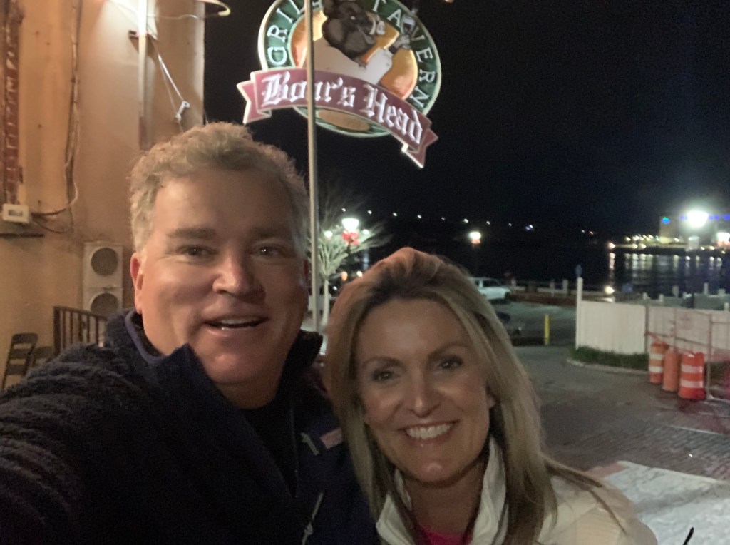
- Boar’s Head Grill
- The Cotton Exchange
- Huey’s
- The Warehouse Bar
We ended the night singing Journey.
Up early to a Whiskey Sunrise & potato pancakes and off to Fernandina Beach, FL

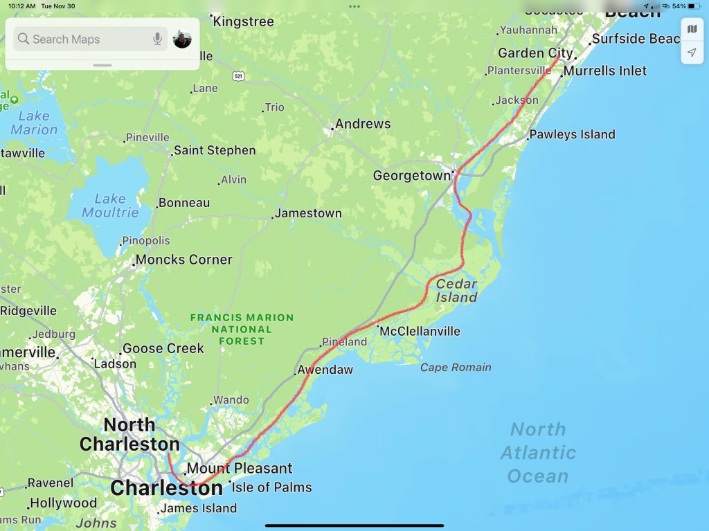
This post consists of 5 legs of our journey


We hope everyone had a great Thanksgiving with family!!!


 Each Division / District has its own website so you’ll have to spend some time finding the hydrologic maps from each ACE District.
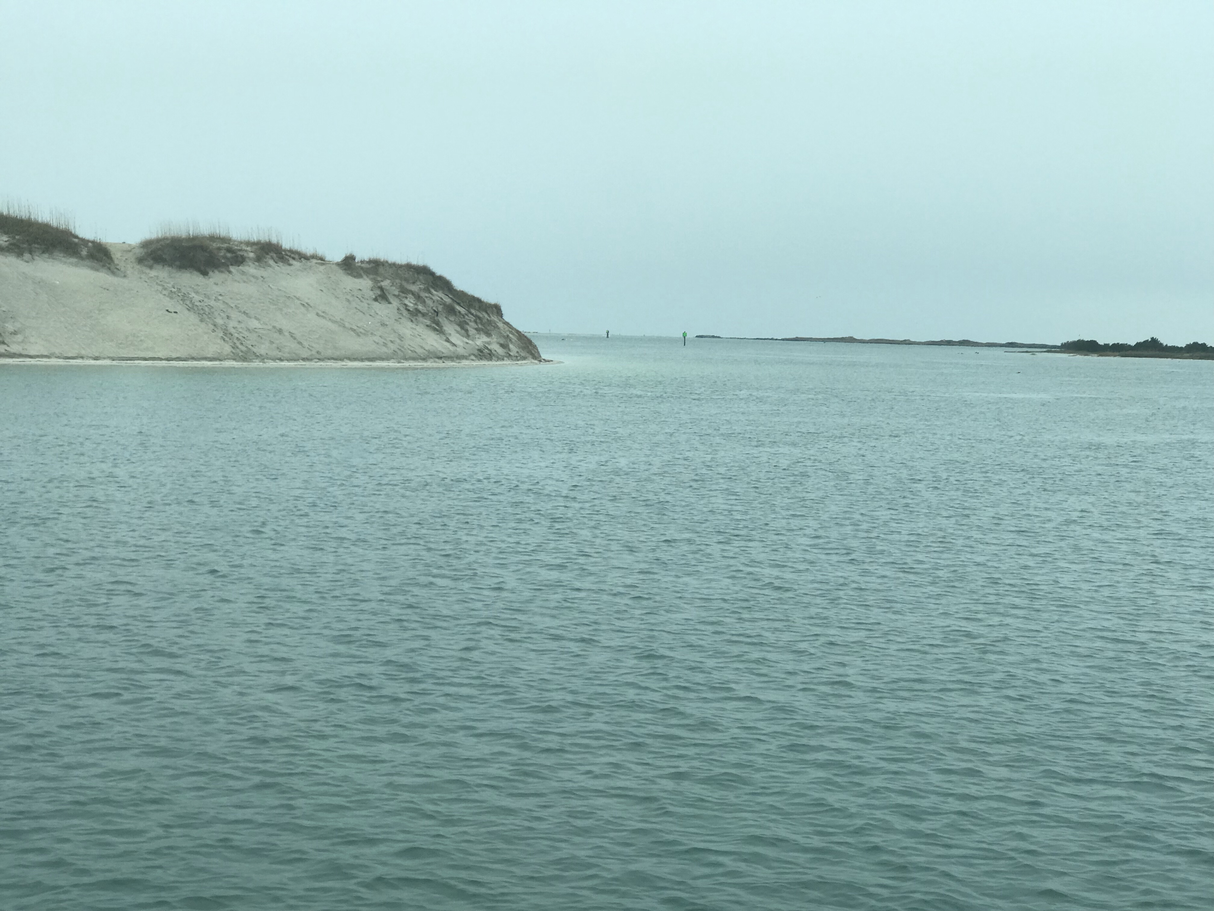
  That’s a narrow drugged channel that you must stay inside of
 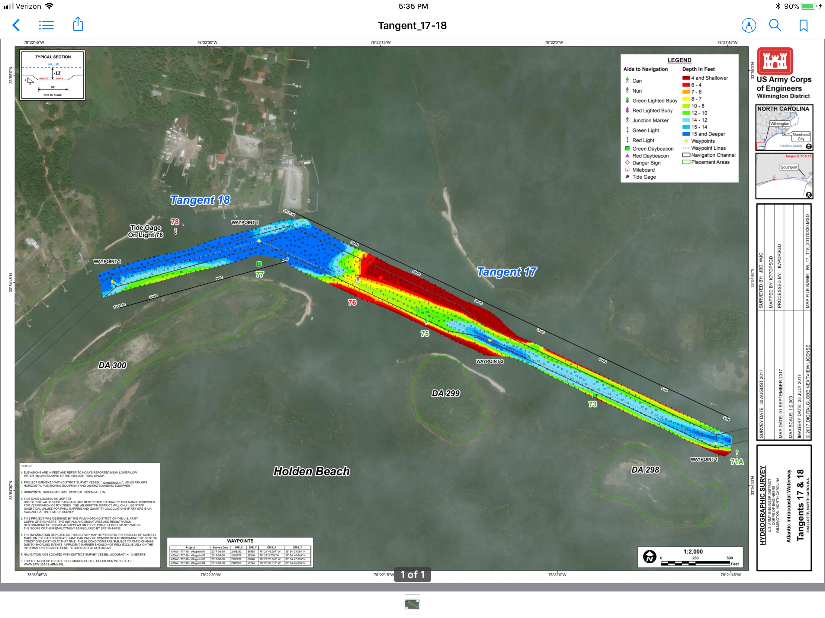 Stay to Port.
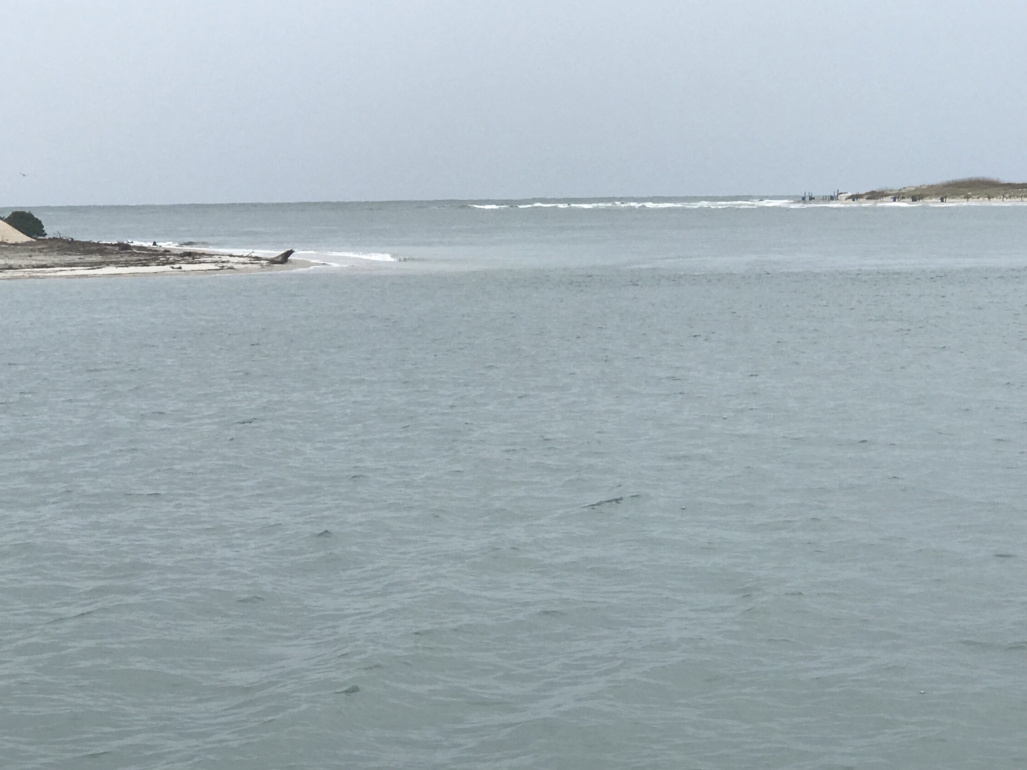
 We have no idea what species of bird this is but we are committed to learning more about the aquatic bird species that inhabit the ICW.


 I think the sign said something like Greg Norman’s Australian grille
 We love that this guy was taking his dog for a ride. Man’s best friend loves the boat says Happy & Chief Martin Brody.
  “Born 200 years too late” – Jimmy Buffett
 Somewhere Myrtle Beach
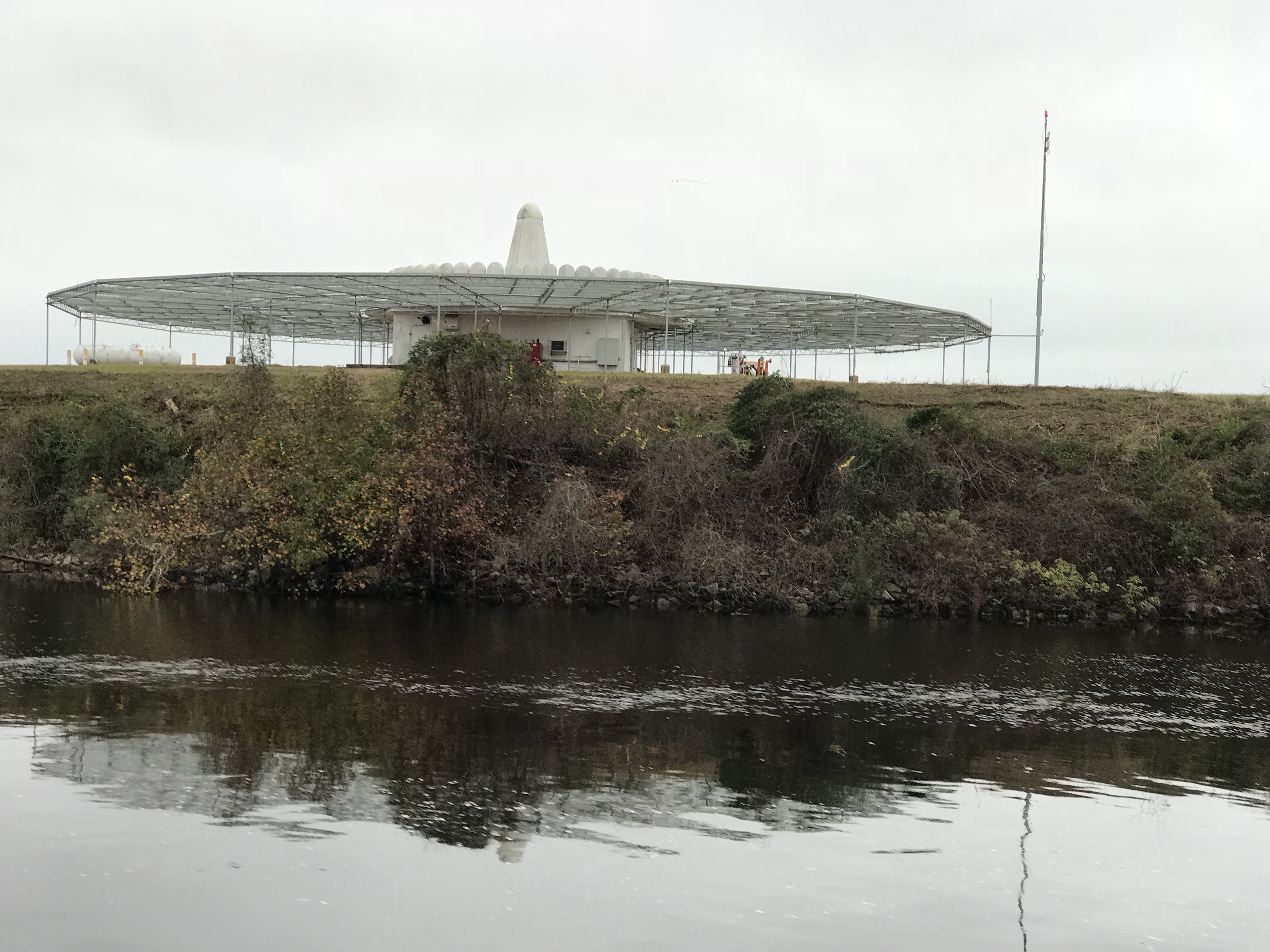 Close Encounters or an airport building, you decide.
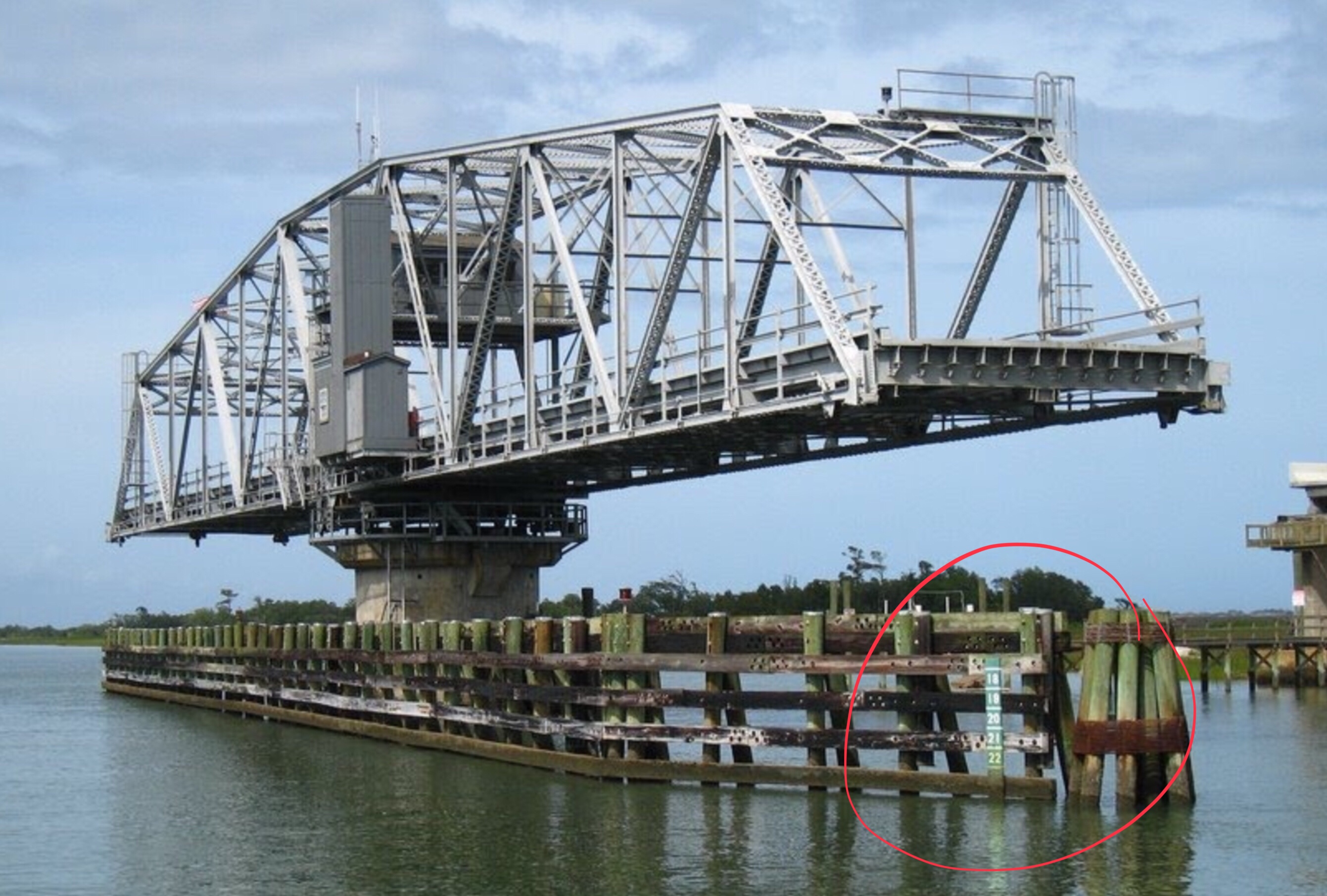
 Who wants to walk under this rack with high winds and a 10K lb boat resting 80′ over your head?
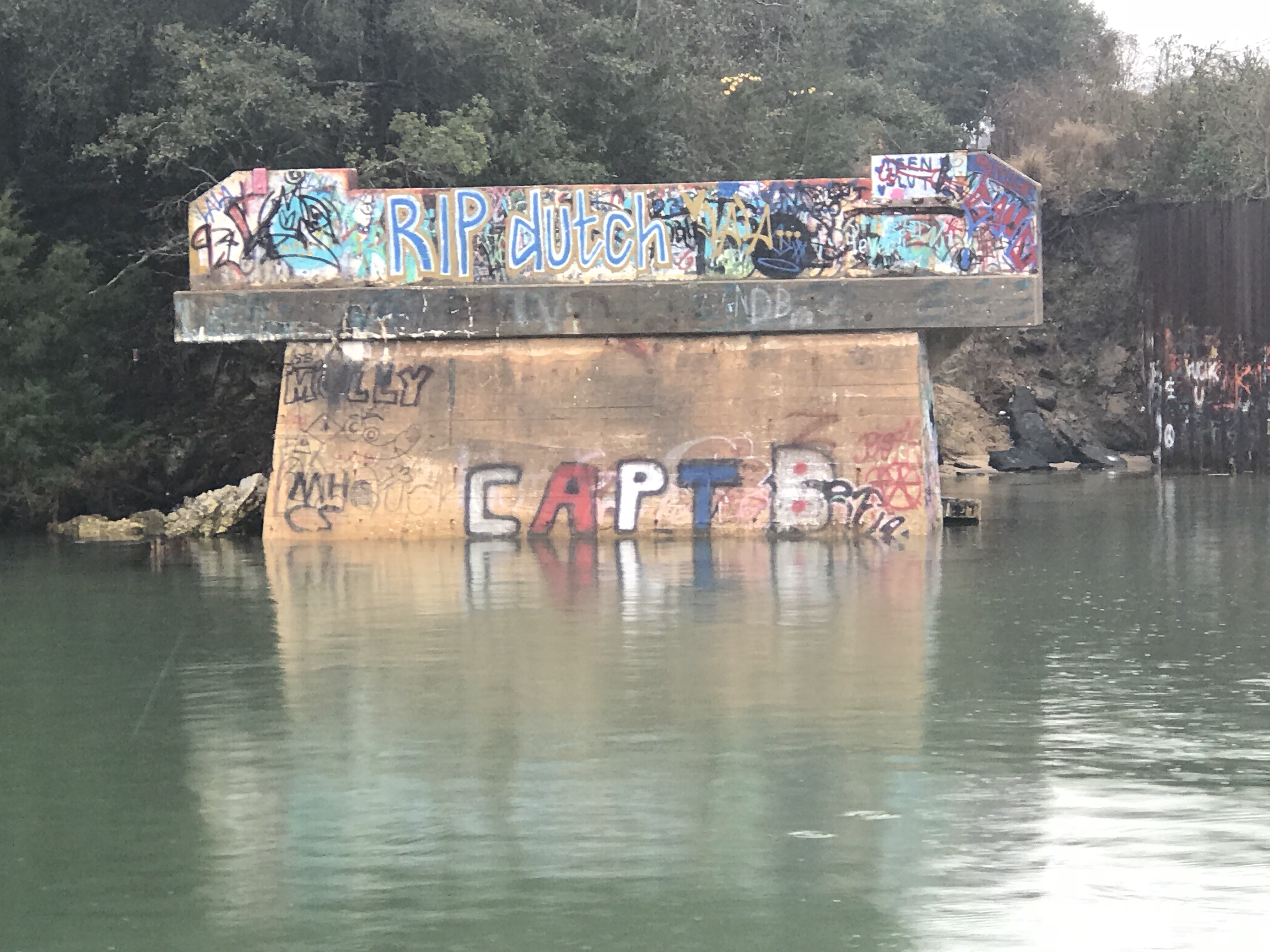
 Logs are the bumps in road of life They thud your hull or fold your wheel (that’s a propeller for the un-initiated)
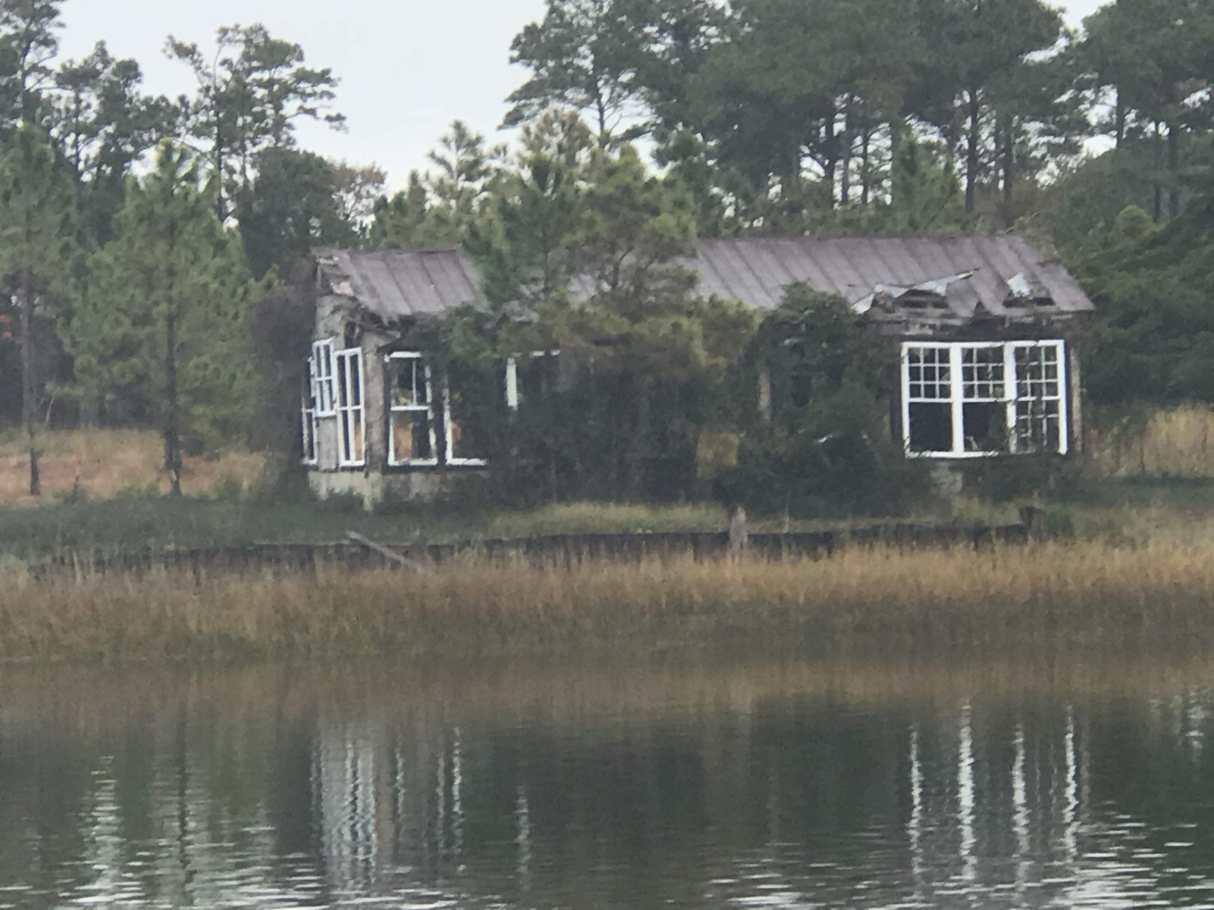
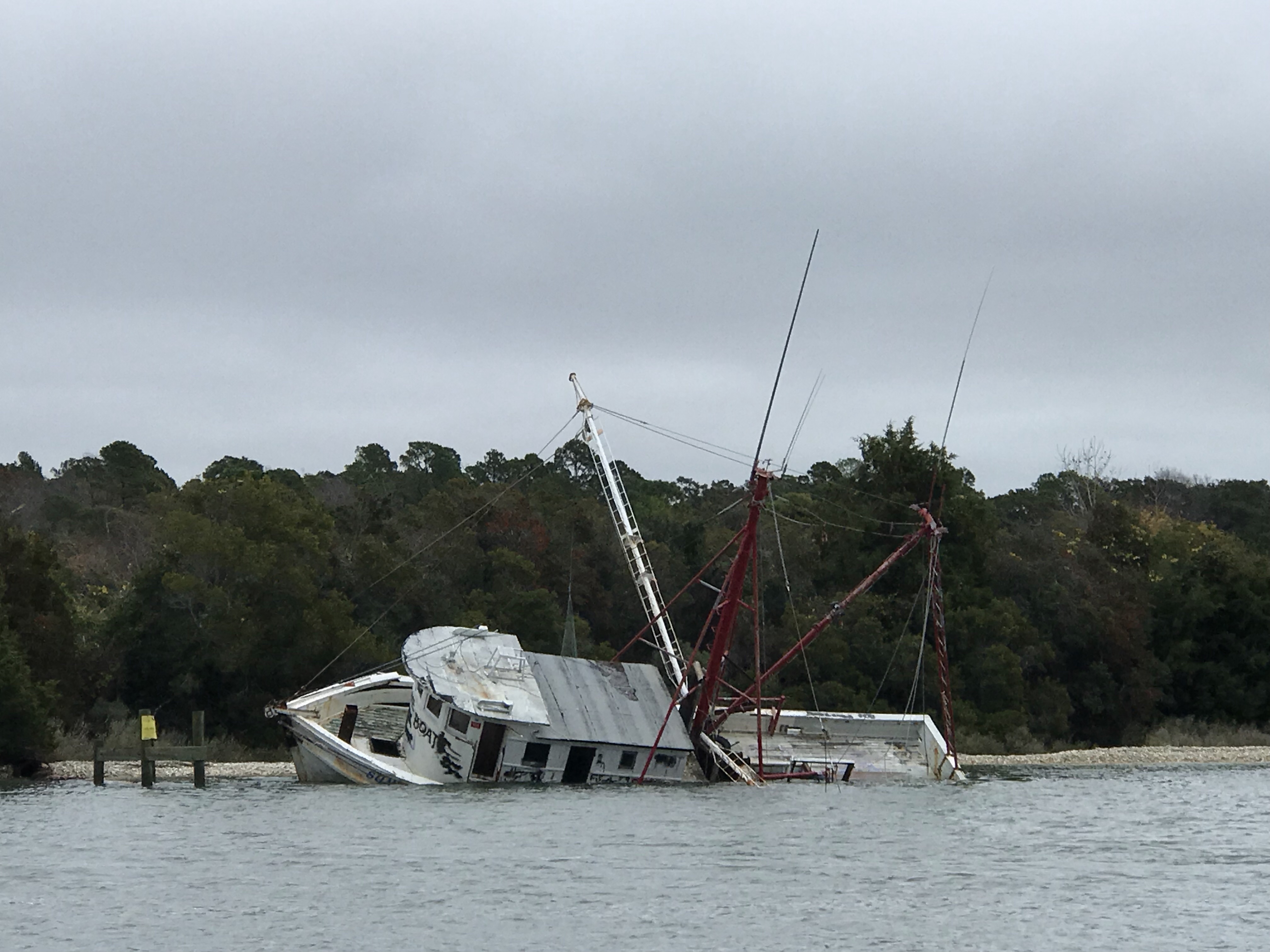 We hate to see beautiful commercial fishing boats listing on the bottom. We joke that we’d love to pull her up drain her beige, gut her and rebuild her giving her a sexy teak makeover. Kelly reminds me that the stink of a fishing boat is not washed off with soap.
 Ouch!
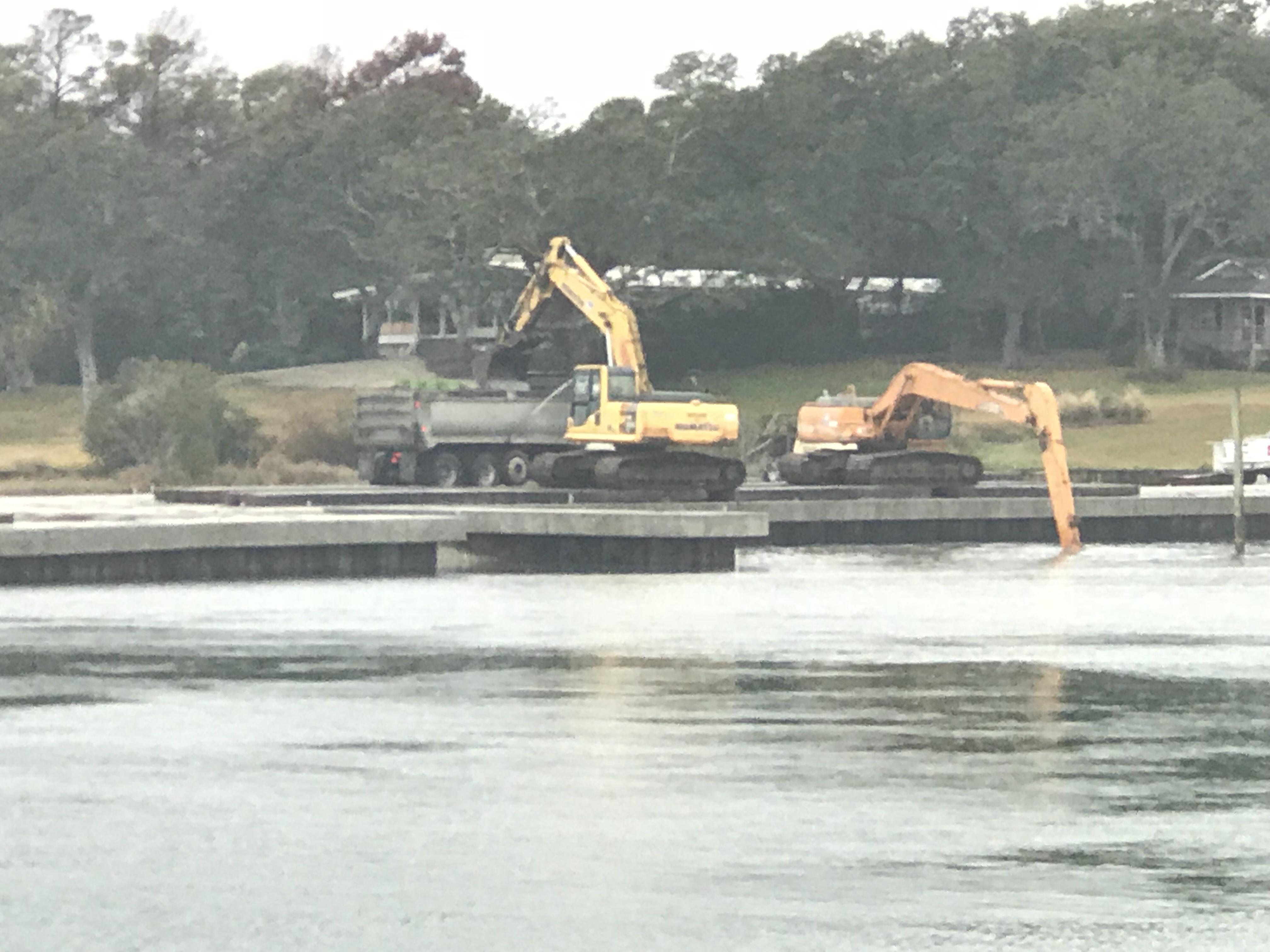
Ouch!


You must be logged in to post a comment.