It was hard to leave St. James Plantation Marina as we were all having so much fun. I did capture a nice video of what I think is a great blue heron on the dock next to our boat.
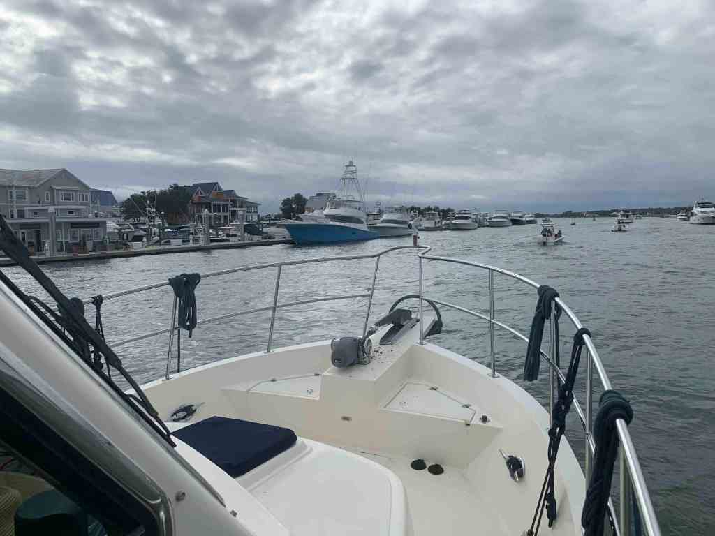
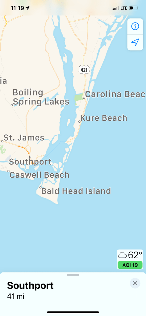
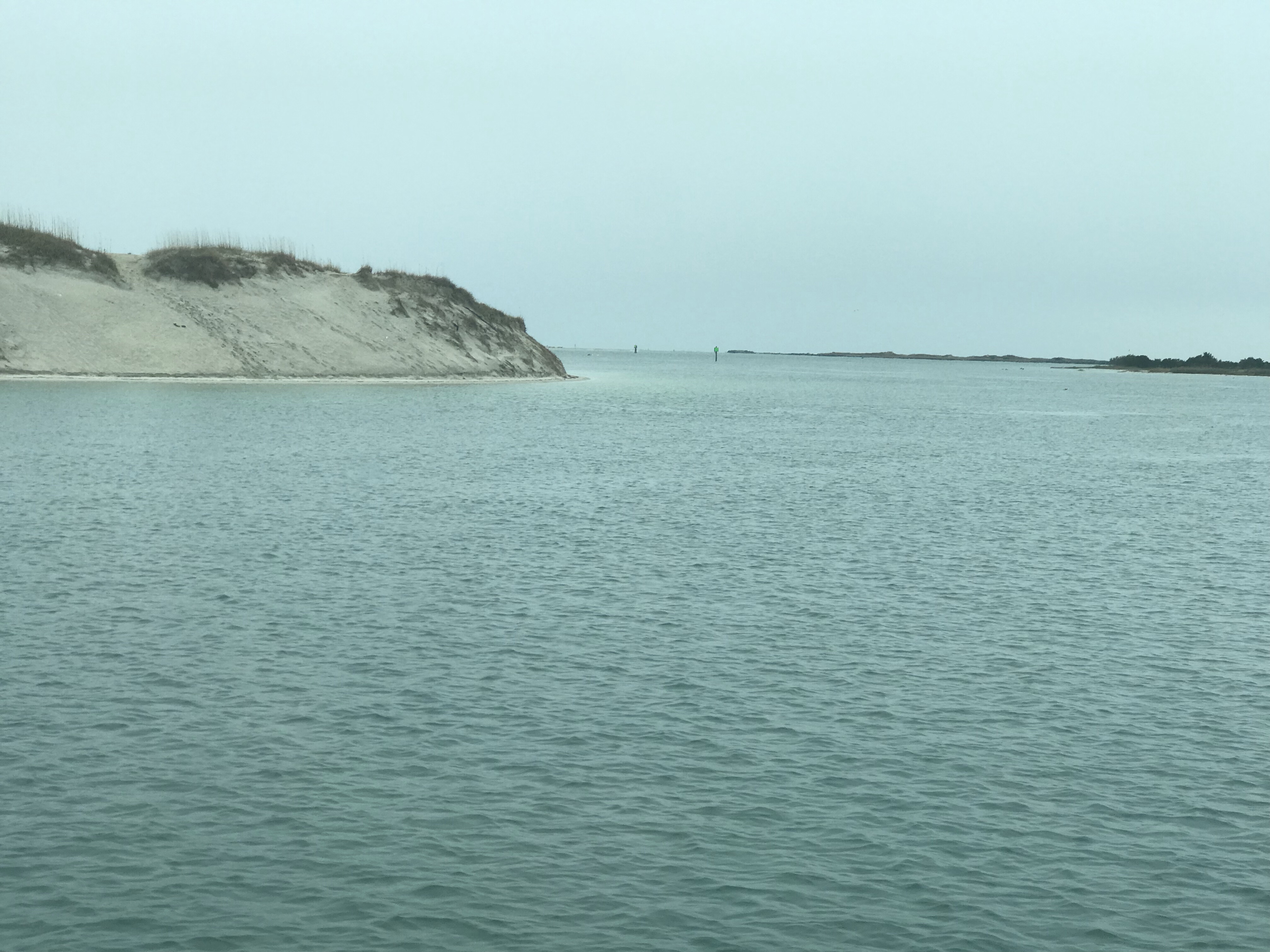
As you head south of Southport, NC you pass several Atlantic Ocean inlets. Lockwood Lockwoods Folly inlet is pictured below and we could see the ocean waves as we motored past.

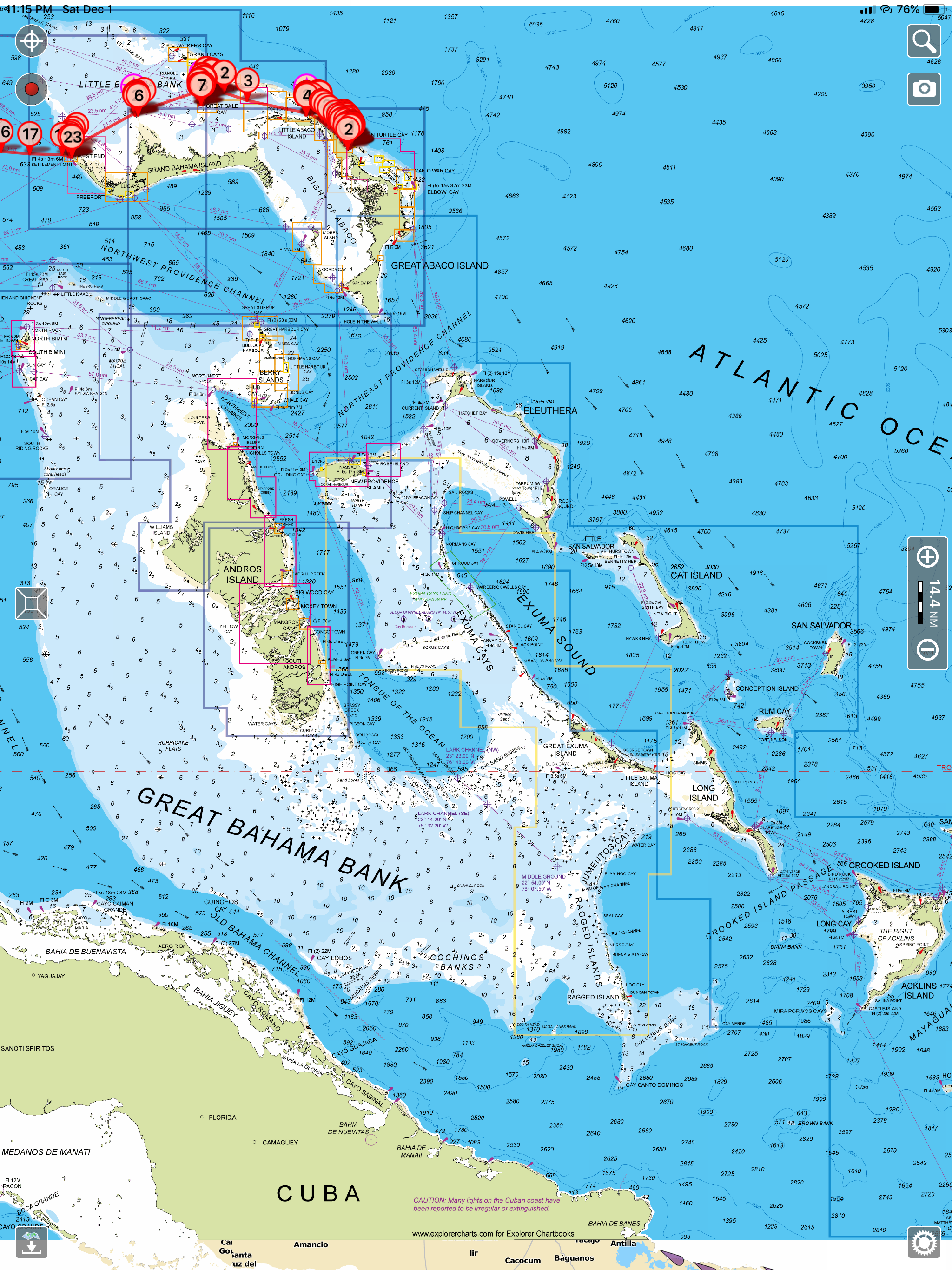
The ICW can be very shallow around these inlets as the strong currents deposit sand and silt creating shoals and shallows that you must stay clear of. I use an iPad app called Aqua Map and pay for the premium service called Aqua Map Master that displays the recent Army Corp of Engineers colorful sounding charts of these tricky locations. The sounding charts are color coded and red is the shallowest with blue being the deepest. Below you can see what it looks like to pick a safe path through the shallows.

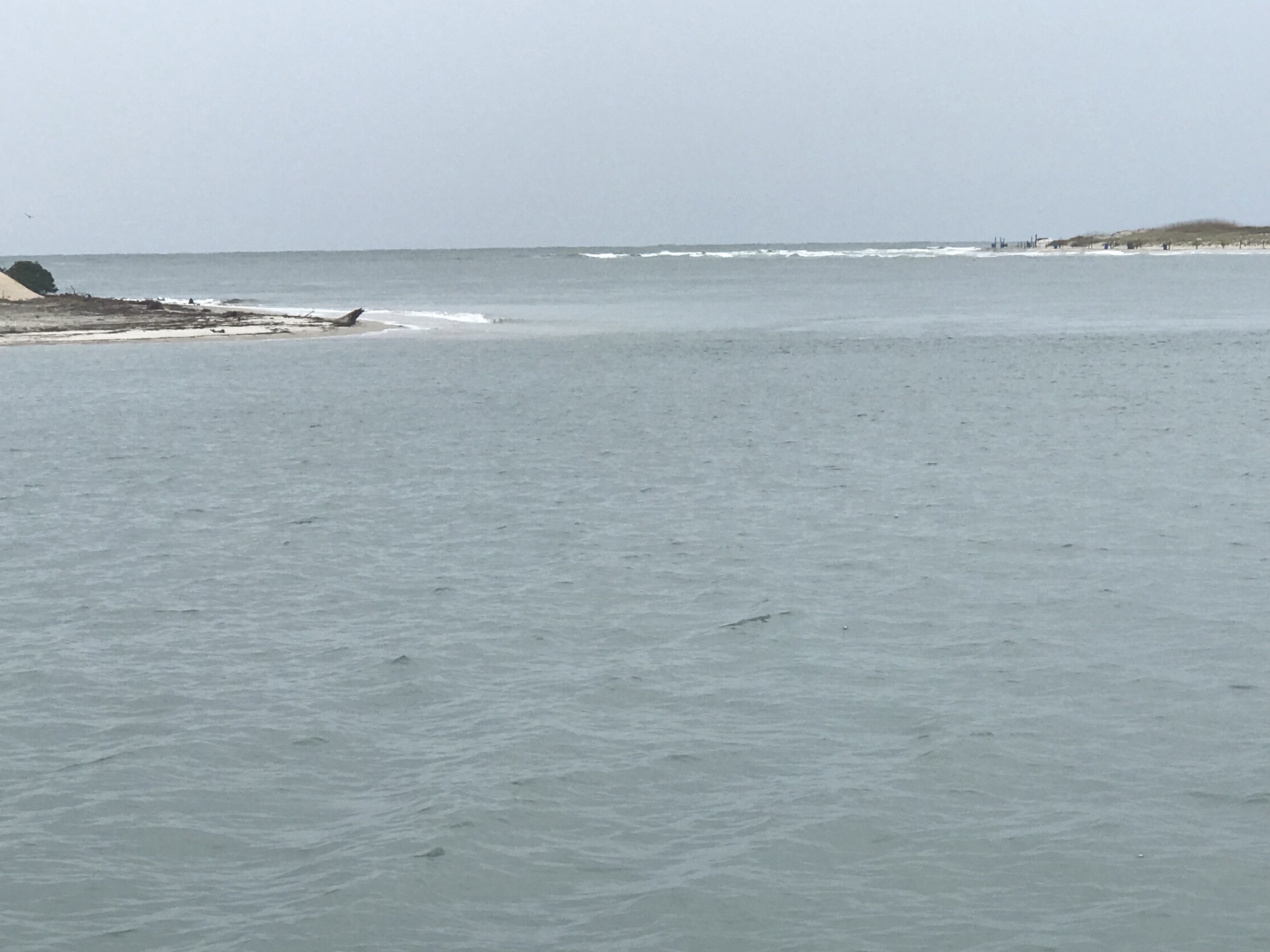
Shallotte Inlet was next and it too has a colorful sounding chart
03
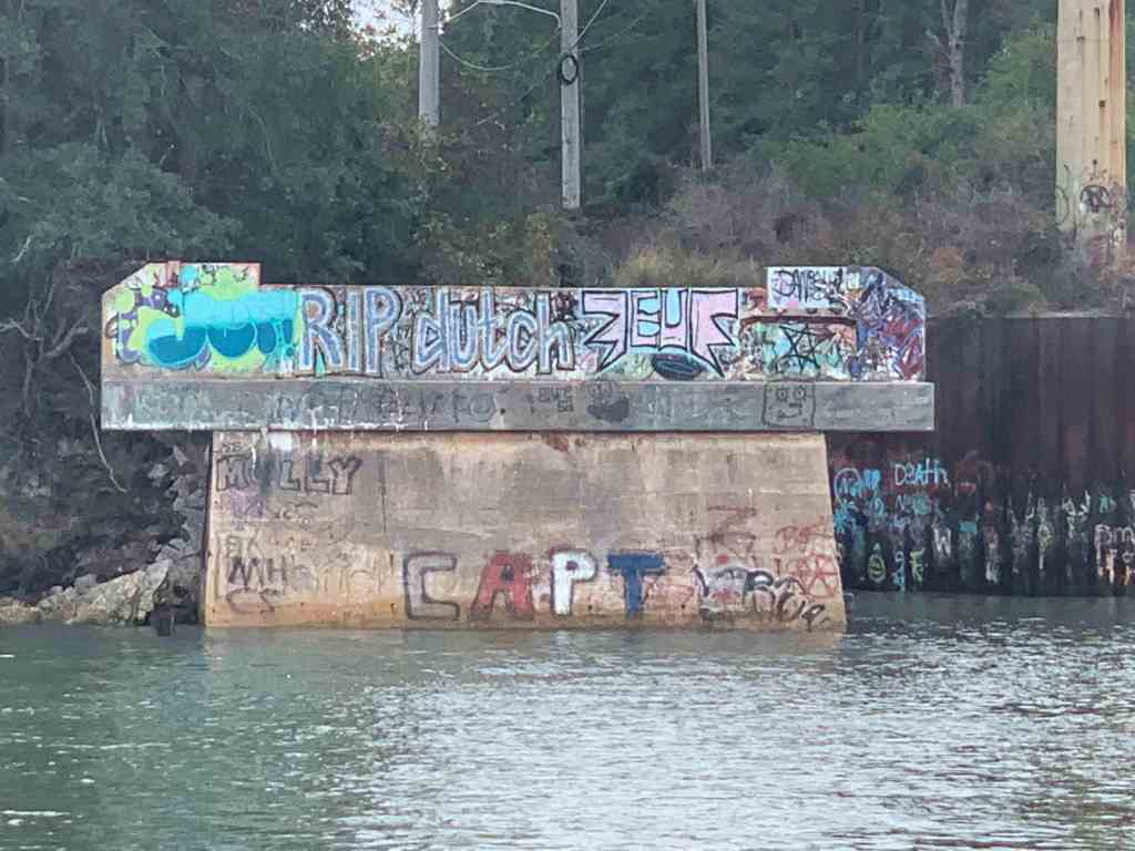
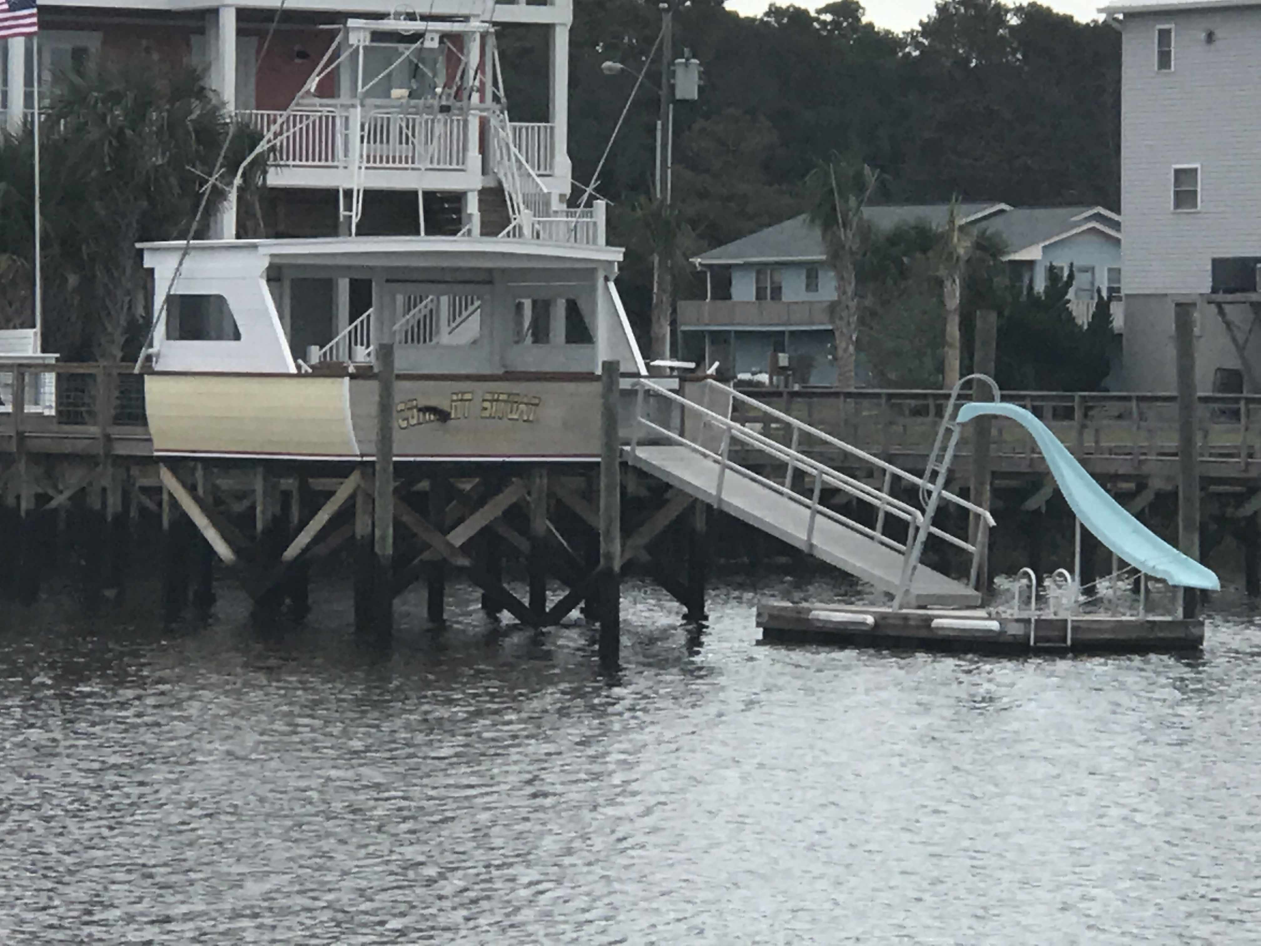
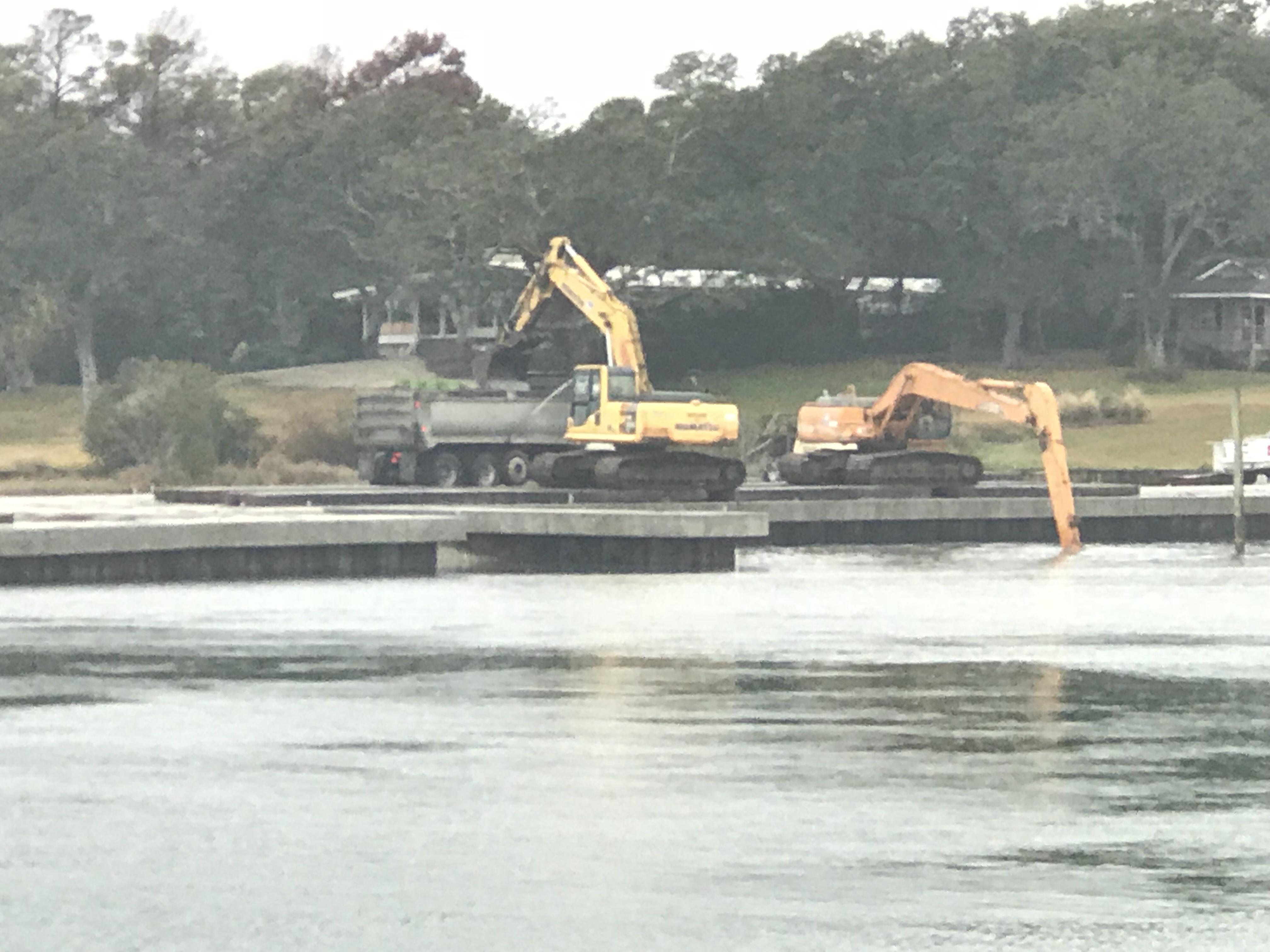
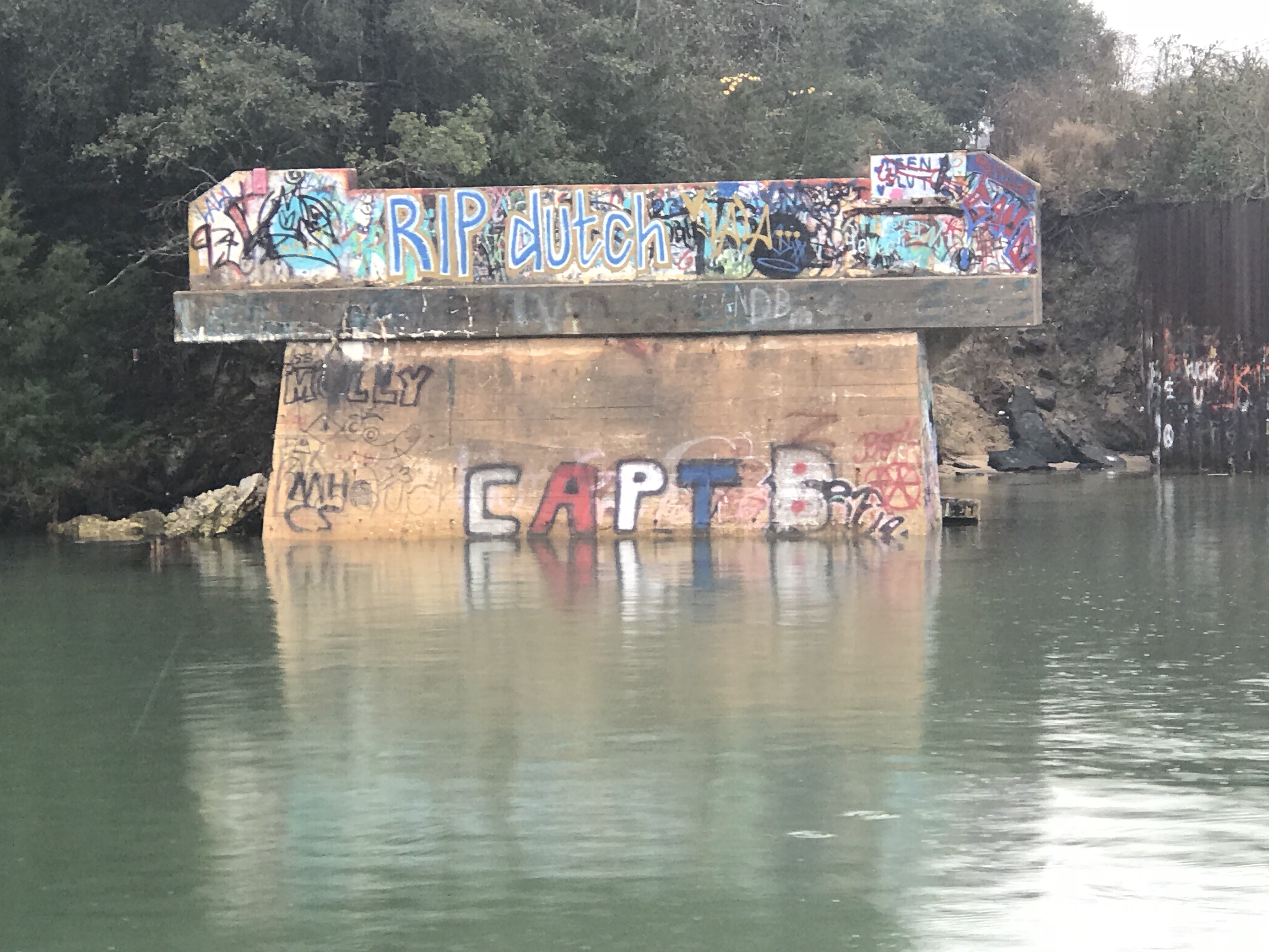
When we got to Little River inlet we passed a commercial boat that has been wasting away on the shore for some time. I’m always amazed that it is still there when I come up in the Spring or down each Fall.

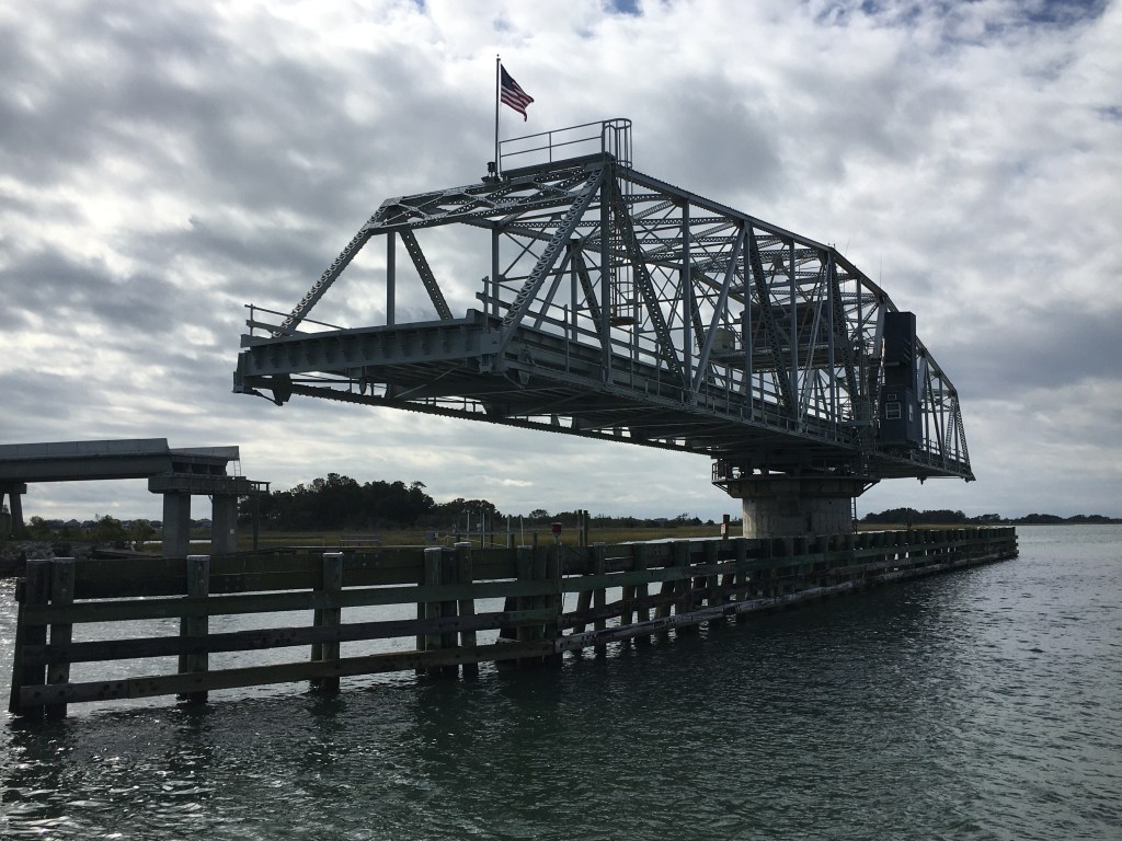
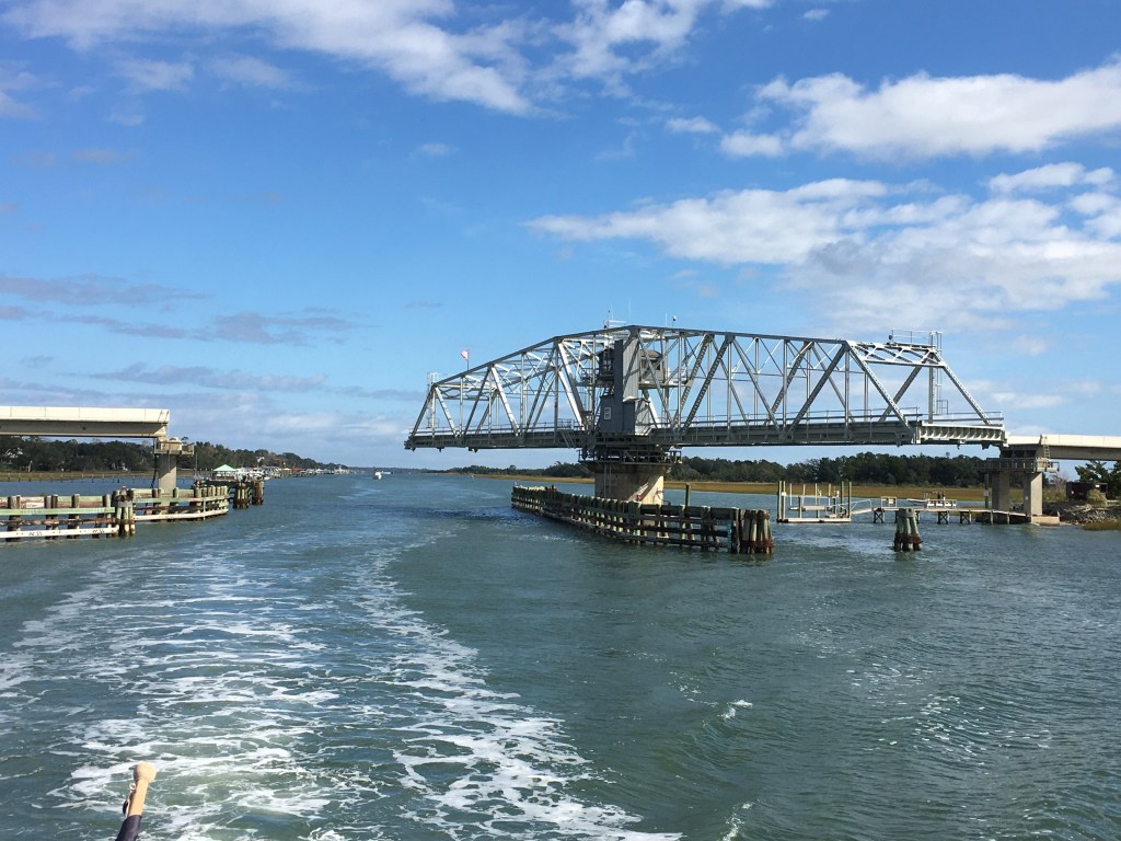
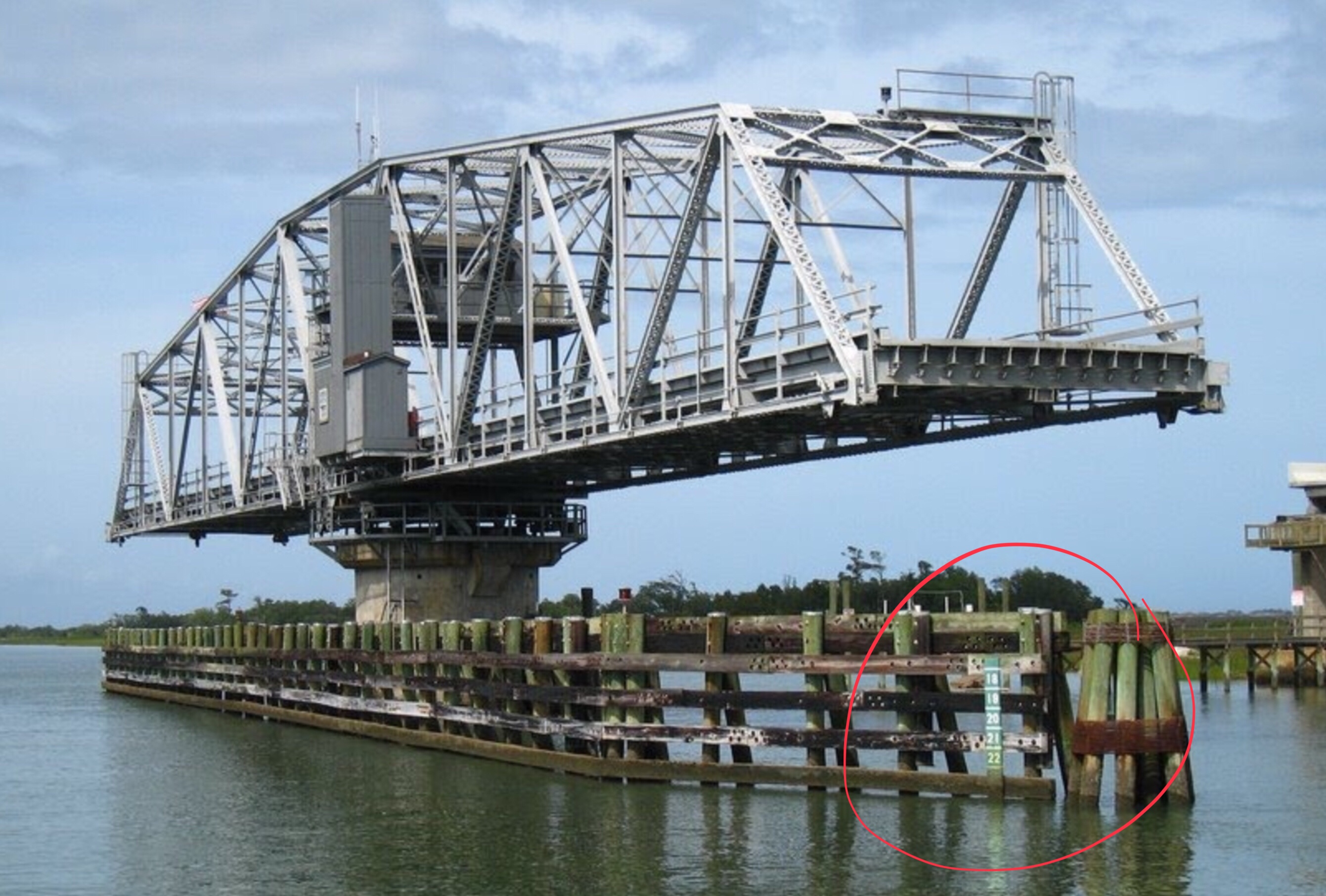
Along with navigating your way through the shallows you must request several bridge openings. This bridge used to be called the “Captain Poo” swing bridge. I hailed the bridge tender on the VHF and he responded with “Little River” swing bridge. I personally enjoyed hailing “Capt. Poo, Capt. Poo!” over the new name.

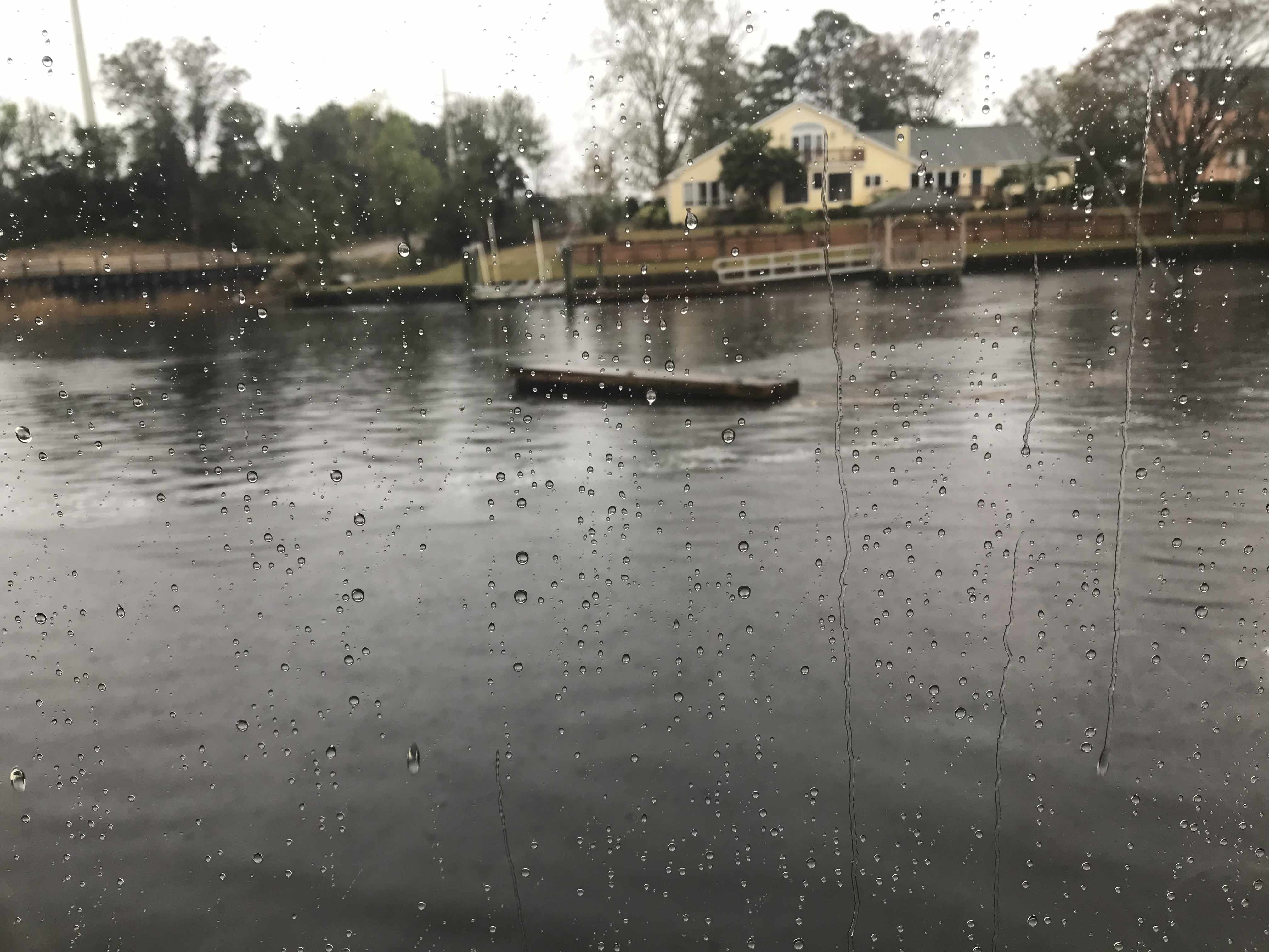
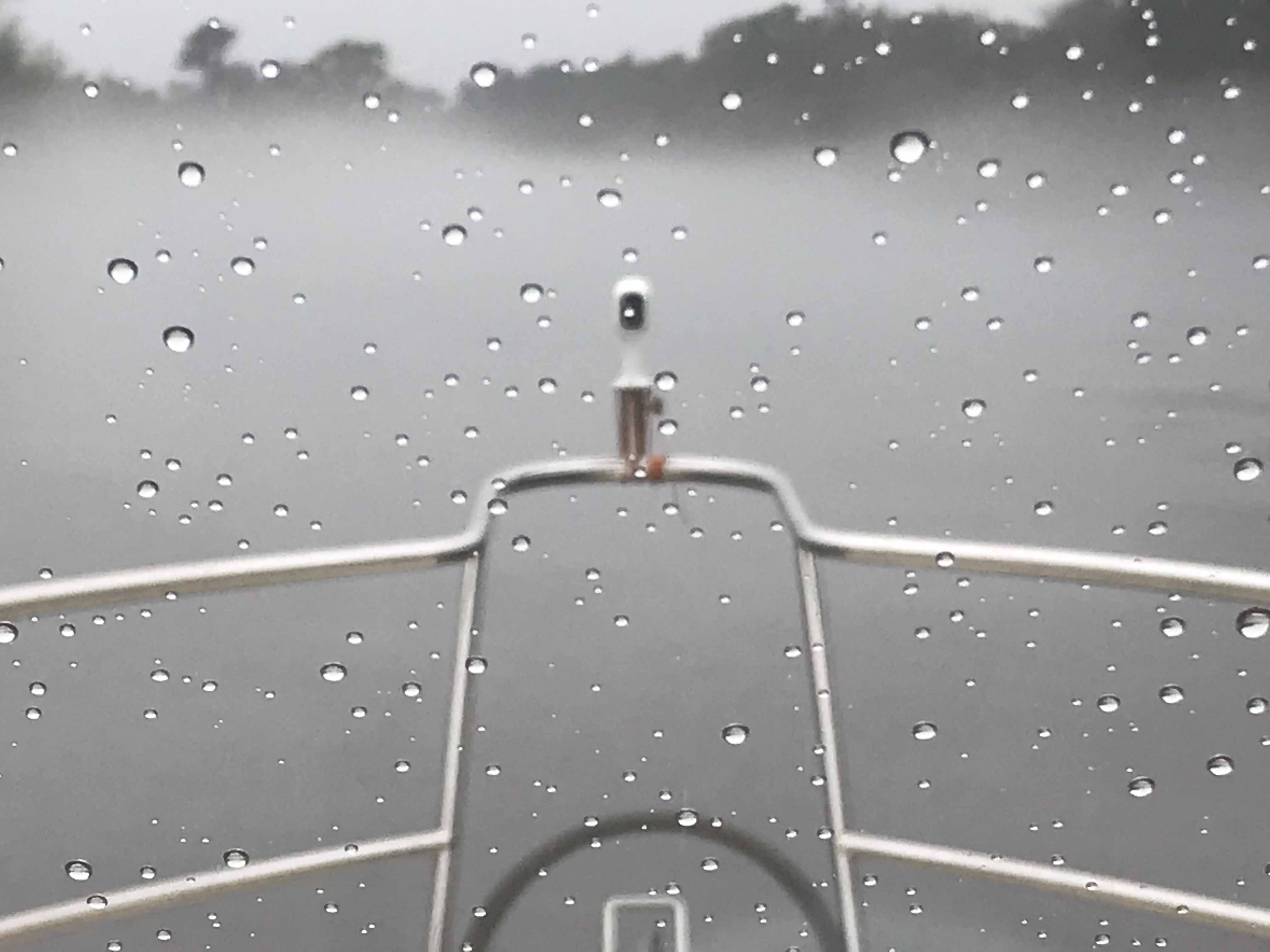
Our day underway was overcast and for a brief period it rained. Boating in the rain is not much fun unless you have a warm pilothouse. We were warm and dry while underway and for that I was happy.
There were many beautiful sights to see along the route to Myrtle Beach.

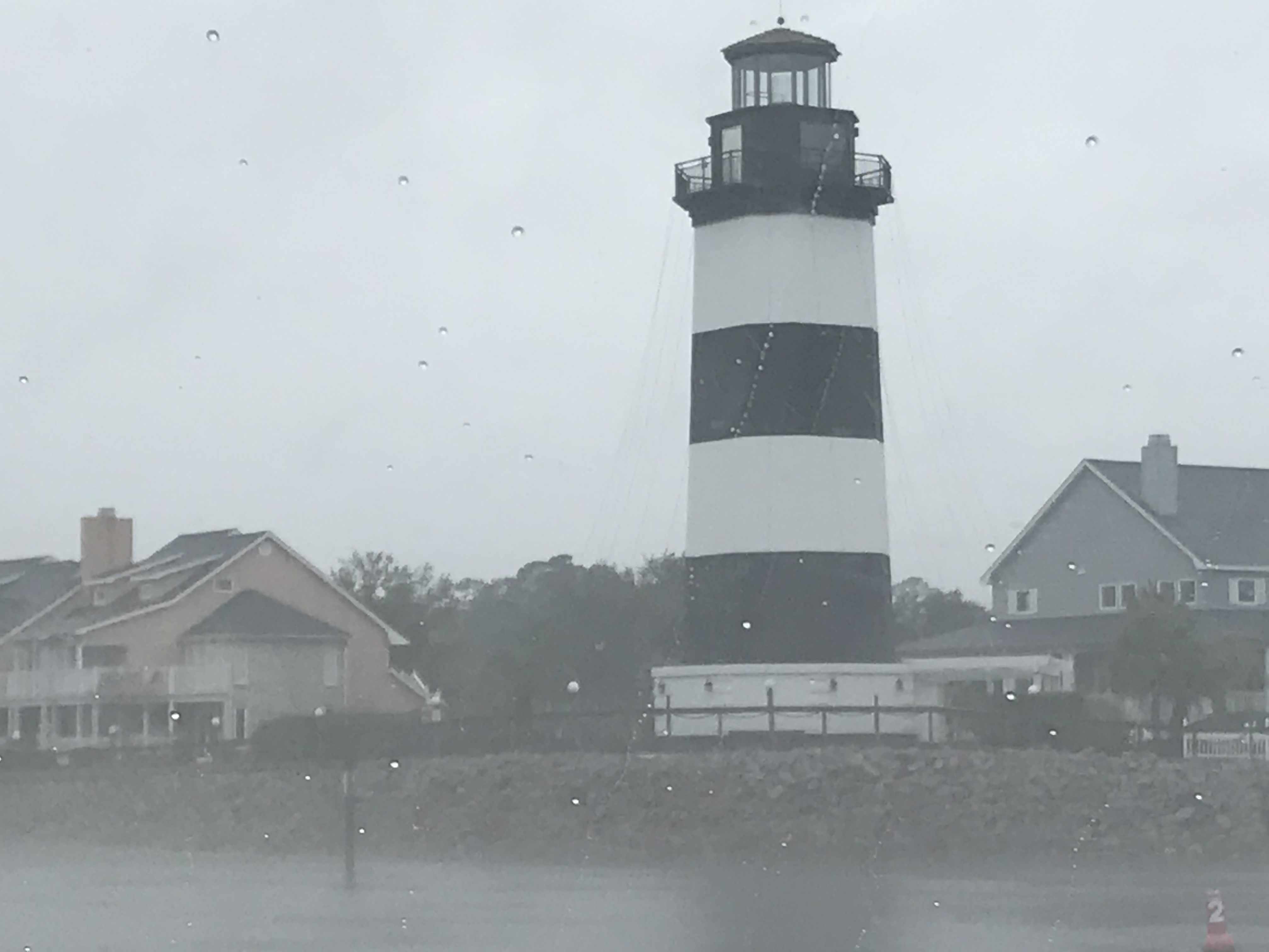
Myrtle Beach Light house 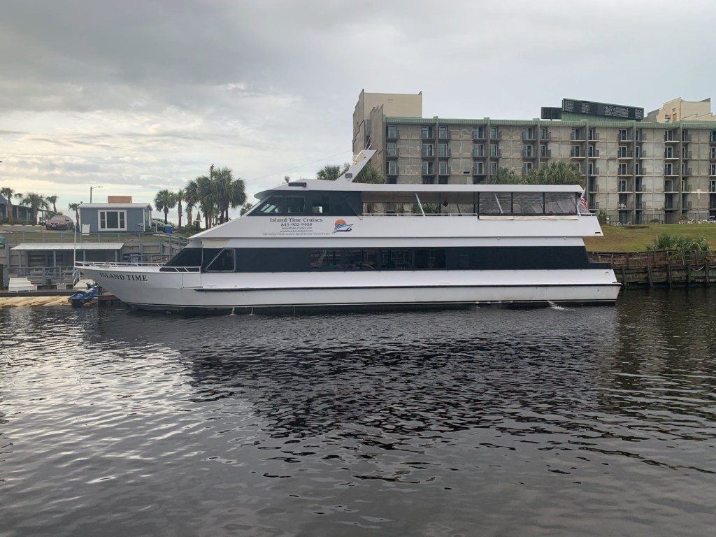
MV Island Time 
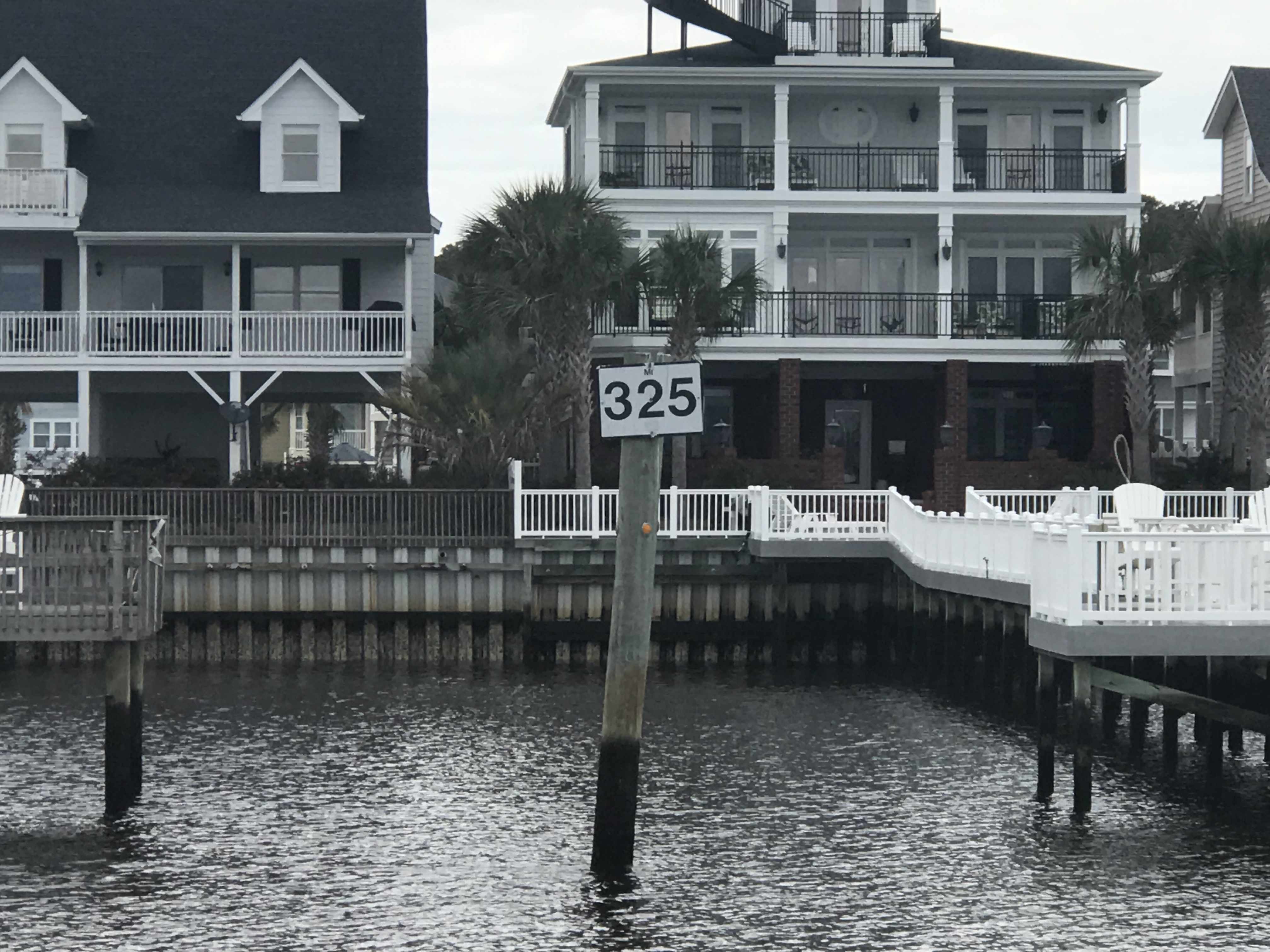
Holden Beach Home 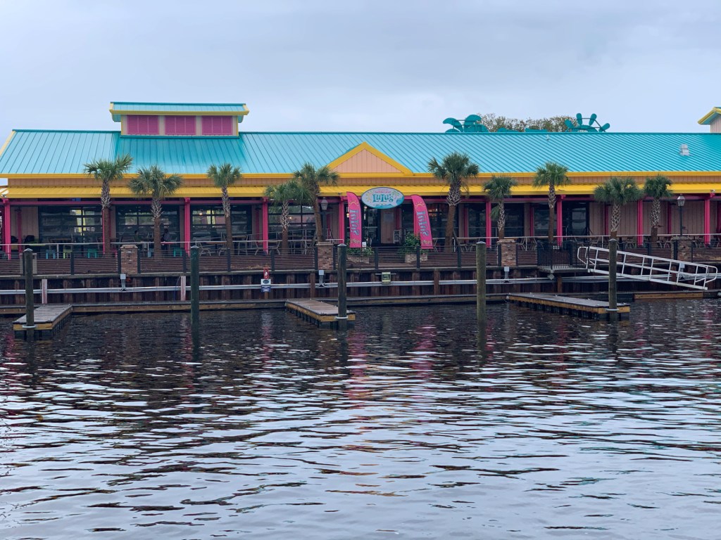
Lu Lu’s Restaurant 
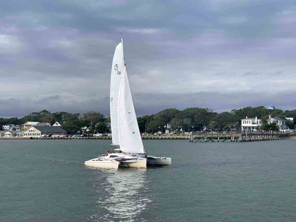
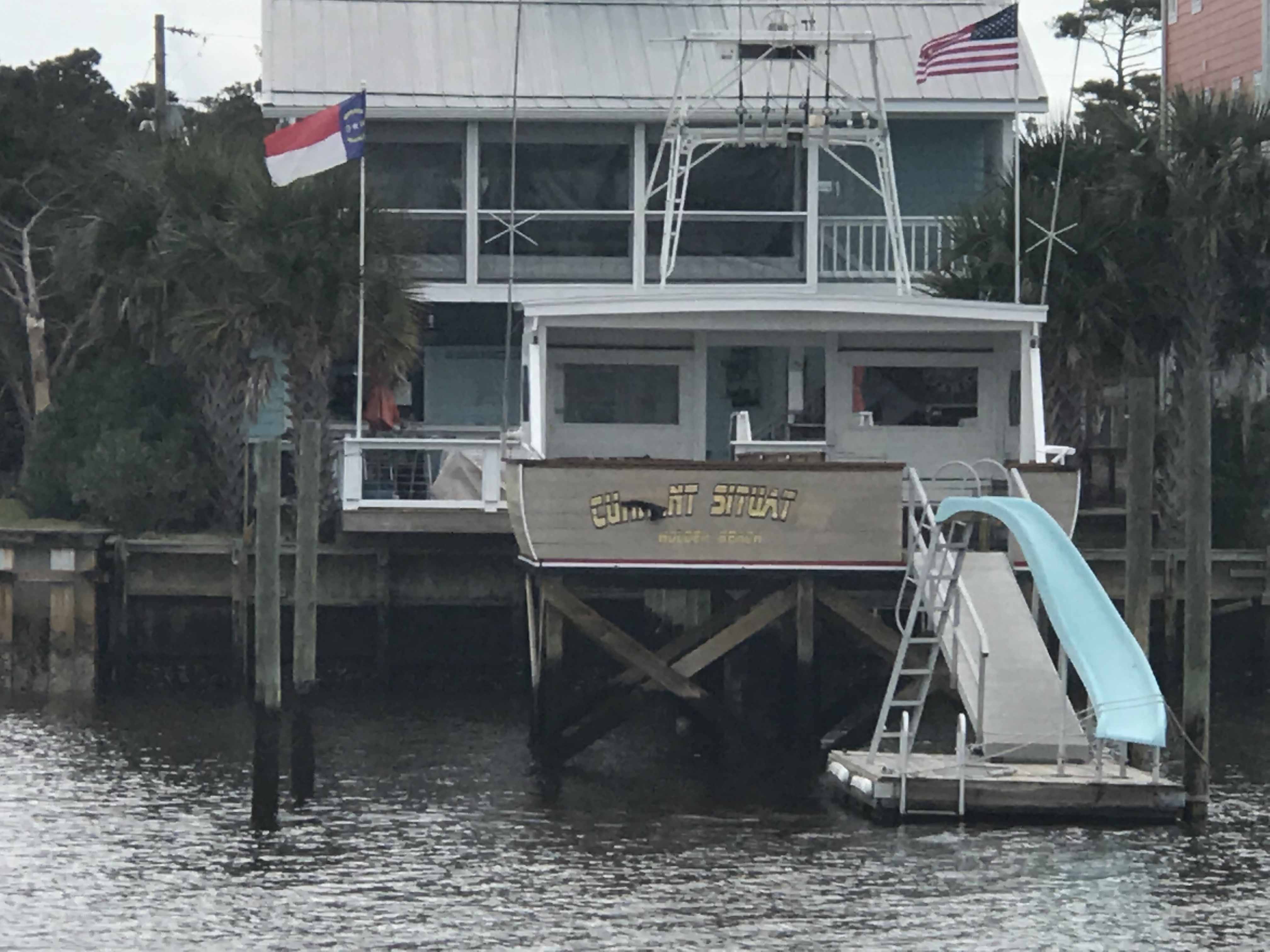
We passed this sexy sailboat
This beautiful home appears to have an infinity pool.
We had made reservations at Osprey Marina and we were pushing hard to make it there before dark. As we went through the Socastee swing bridge the sun was getting low.

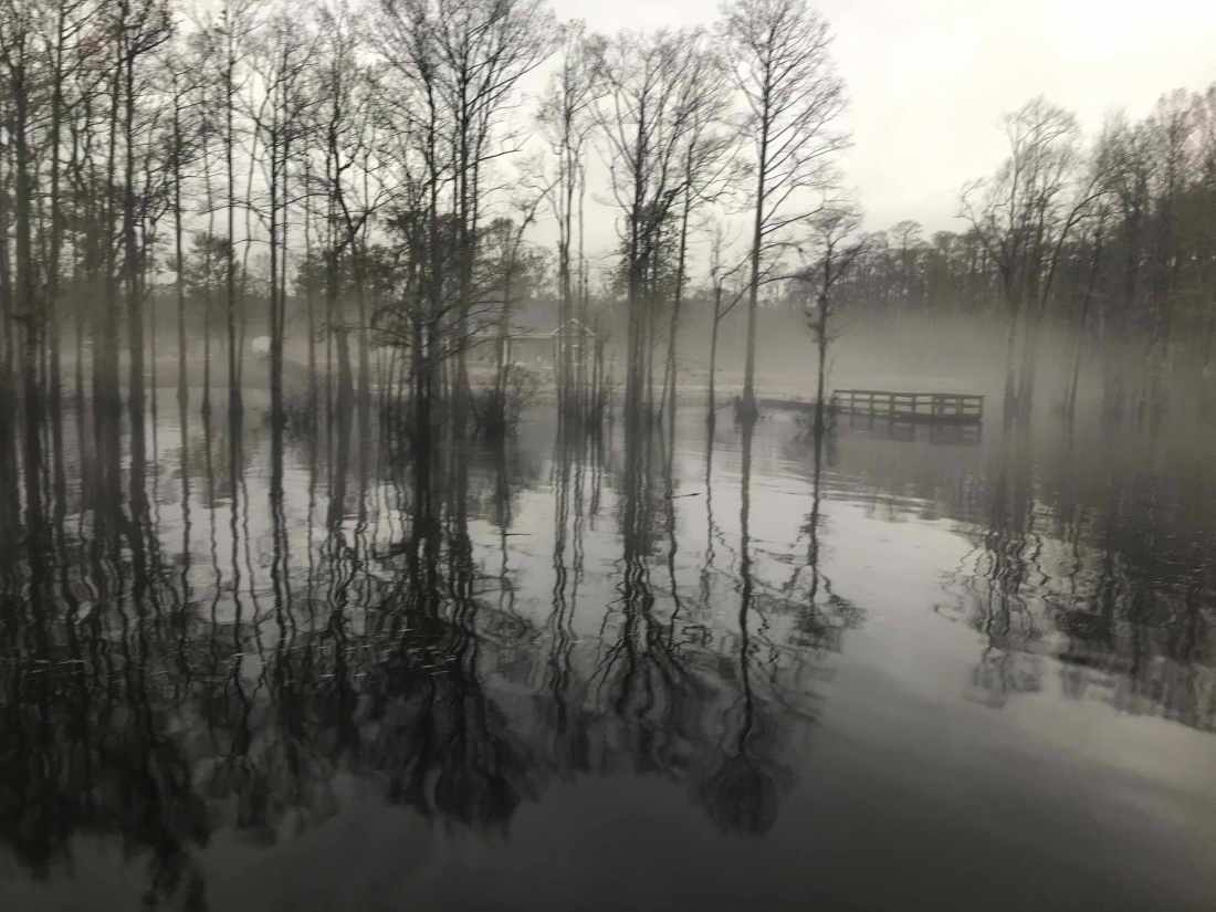
We were now in the Waccamaw River swamp and it can be beautiful as fog and mist light up in the setting sun.

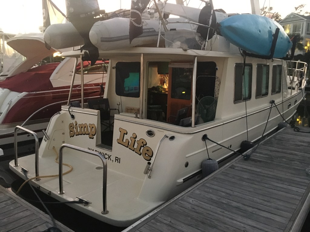
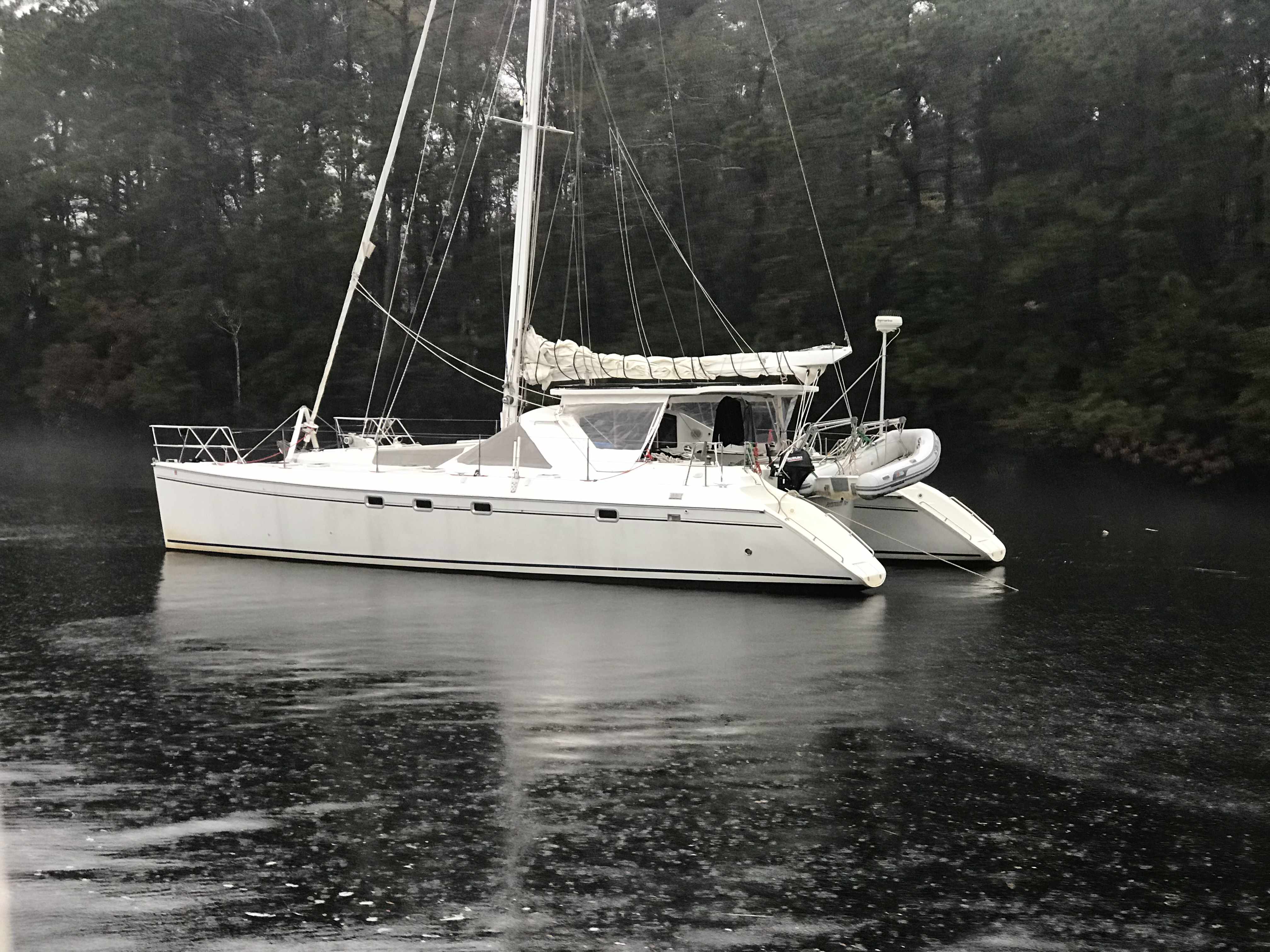
We arrived at Osprey Marina while the sun was still up. We turned down the entrance channel and snapped a few photos of some interesting boats.

One particular catamaran had an etched window that was different.

Soon we were tied up and checked in for the night. I soon discovered that there was no WiFi! NO WIFI!!! Time to put on a movie to entertain the crew. Tonight’s movie …
Gone with the Wind (All 4 hours of it)

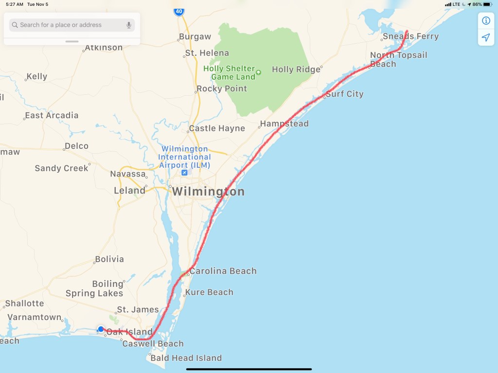
Tomorrow we are bound for Charleston, SC


 Each Division / District has its own website so you’ll have to spend some time finding the hydrologic maps from each ACE District.
  That’s a narrow drugged channel that you must stay inside of
 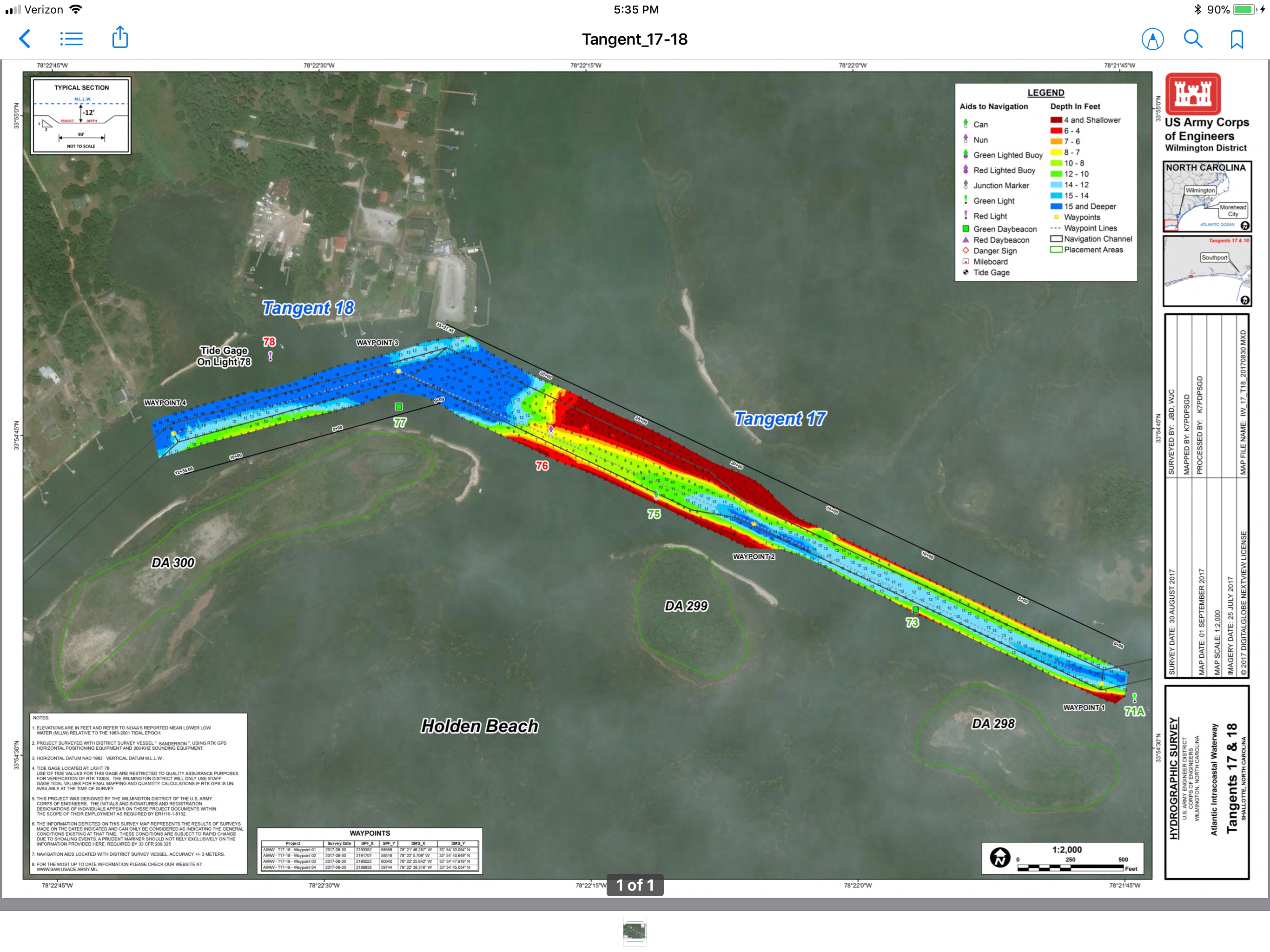 Stay to Port.
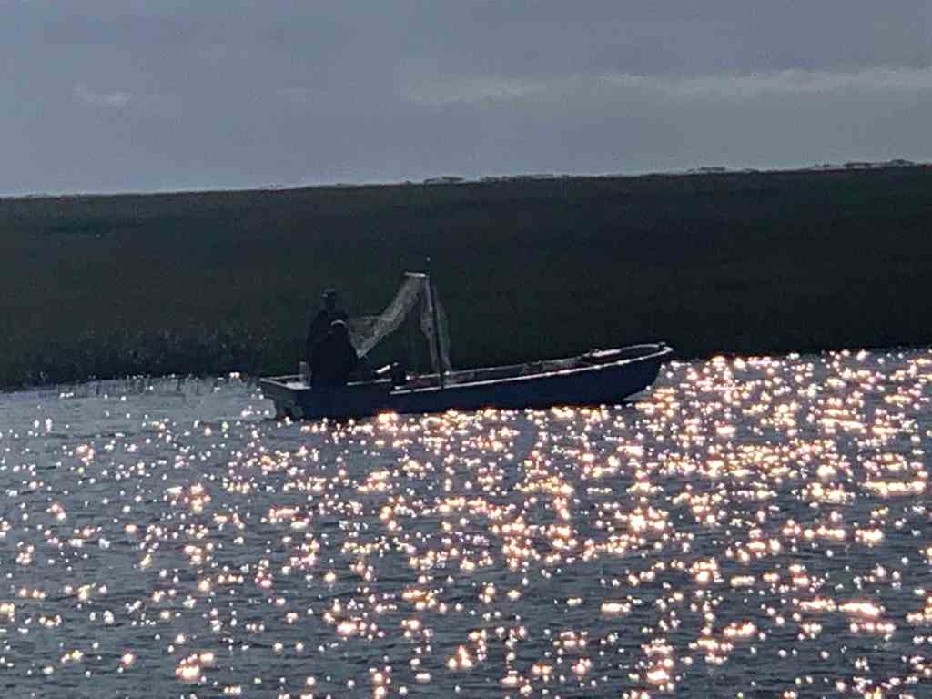
 We have no idea what species of bird this is but we are committed to learning more about the aquatic bird species that inhabit the ICW.


 I think the sign said something like Greg Norman’s Australian grille
 We love that this guy was taking his dog for a ride. Man’s best friend loves the boat says Happy & Chief Martin Brody.
  “Born 200 years too late” – Jimmy Buffett
 Somewhere Myrtle Beach
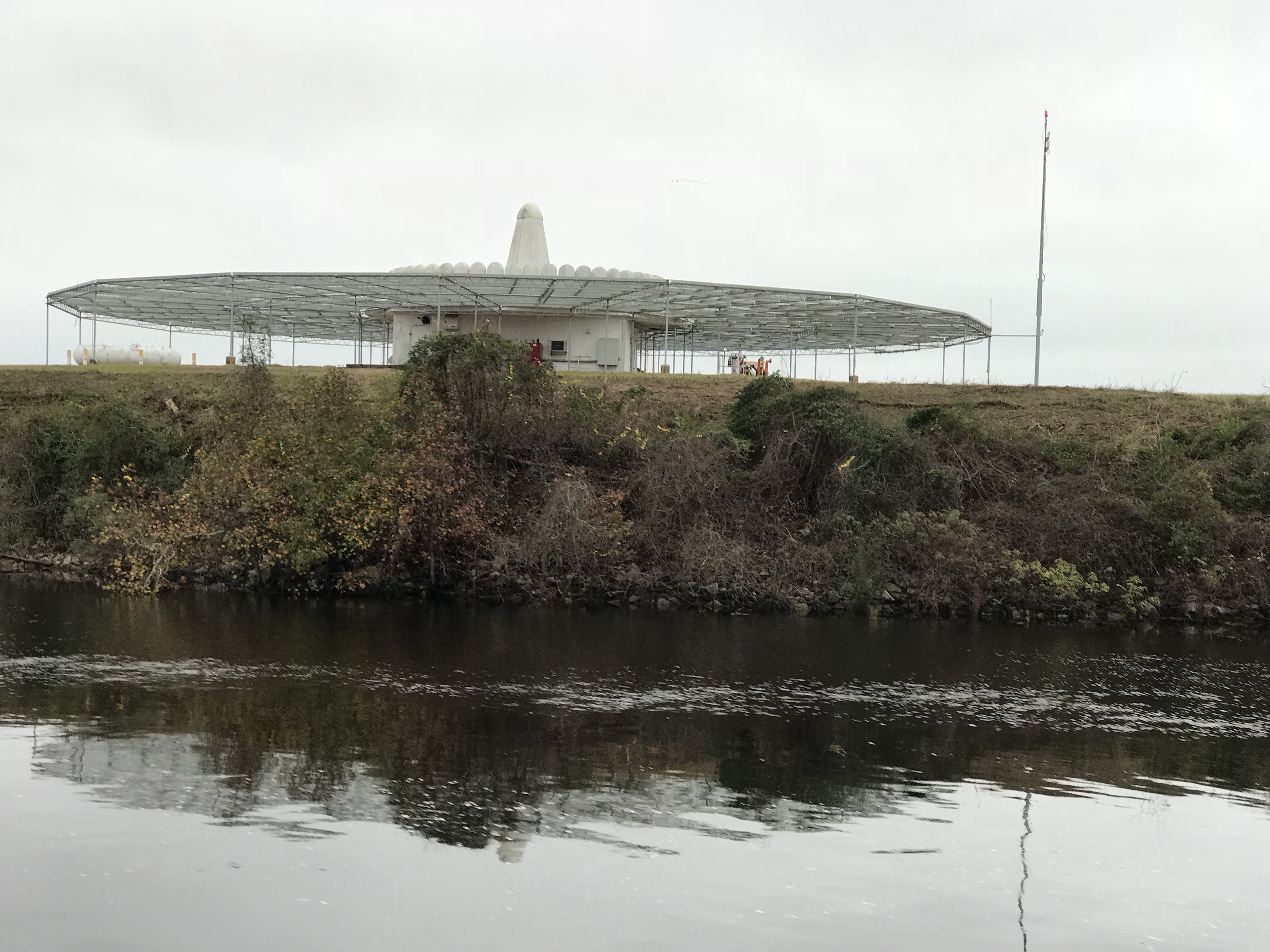 Close Encounters or an airport building, you decide.
 Who wants to walk under this rack with high winds and a 10K lb boat resting 80′ over your head?
 Logs are the bumps in road of life They thud your hull or fold your wheel (that’s a propeller for the un-initiated)
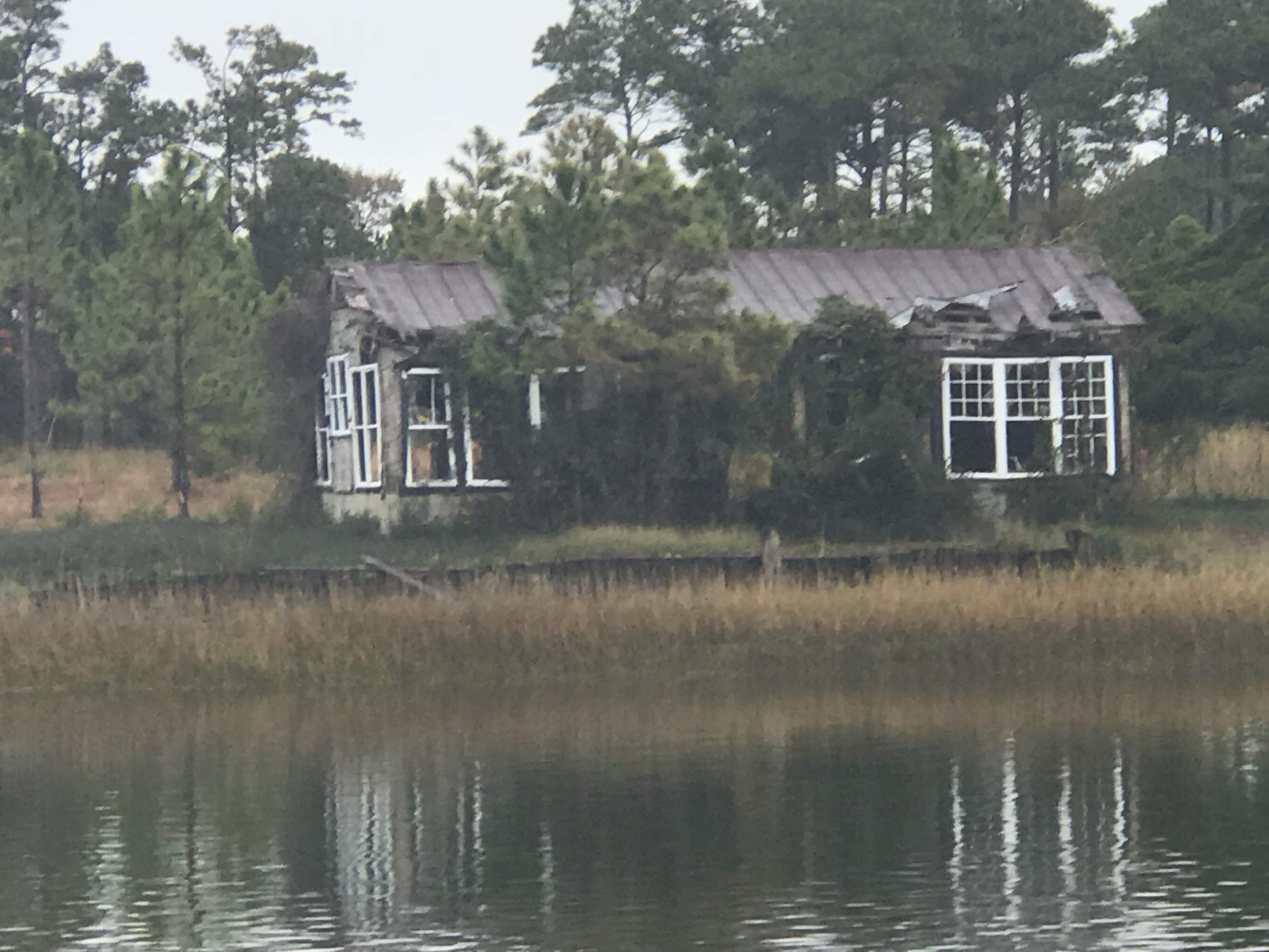
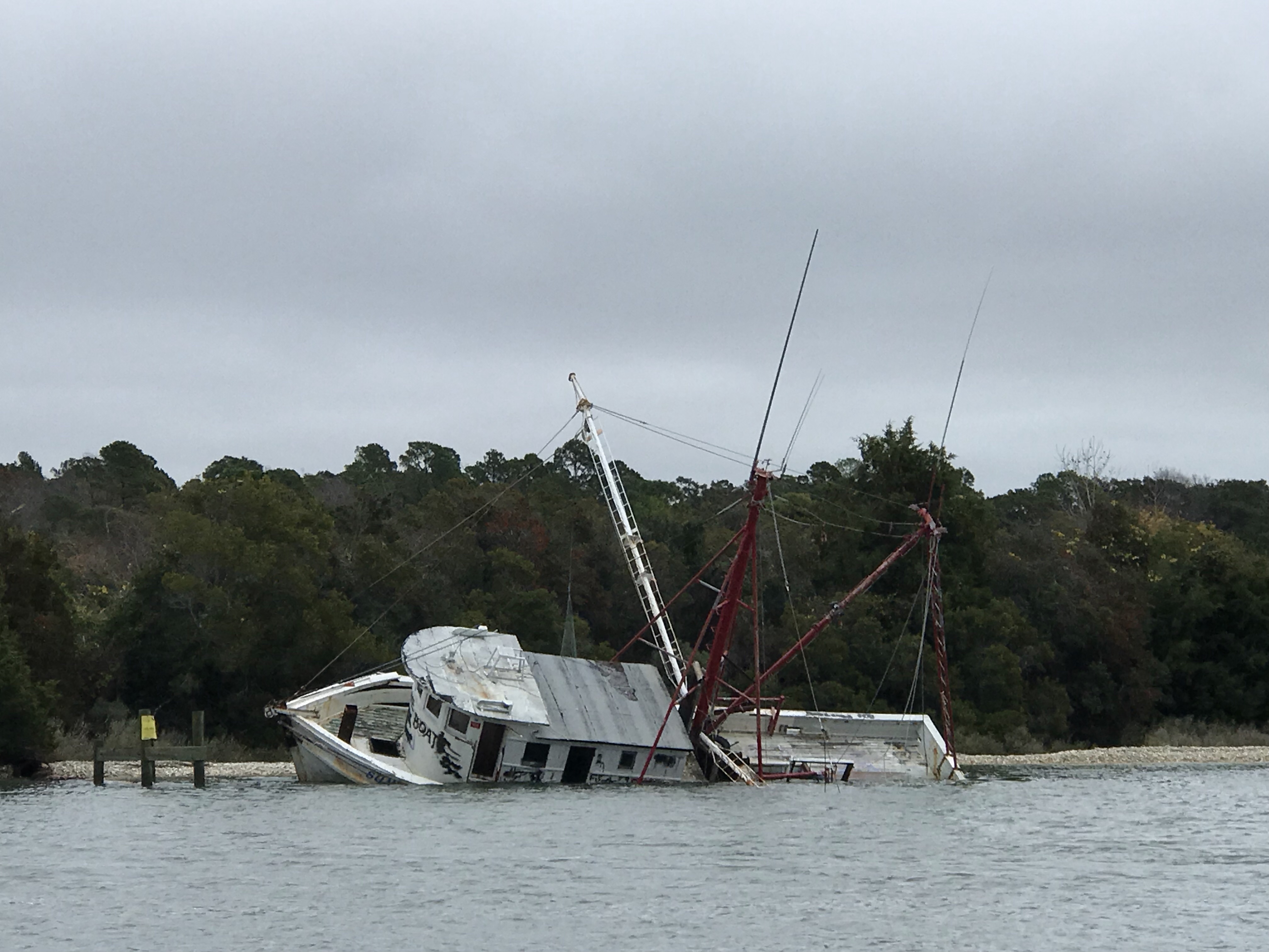 We hate to see beautiful commercial fishing boats listing on the bottom. We joke that we’d love to pull her up drain her beige, gut her and rebuild her giving her a sexy teak makeover. Kelly reminds me that the stink of a fishing boat is not washed off with soap.
 Ouch!
Ouch!


You must be logged in to post a comment.