Lake Okeechobee

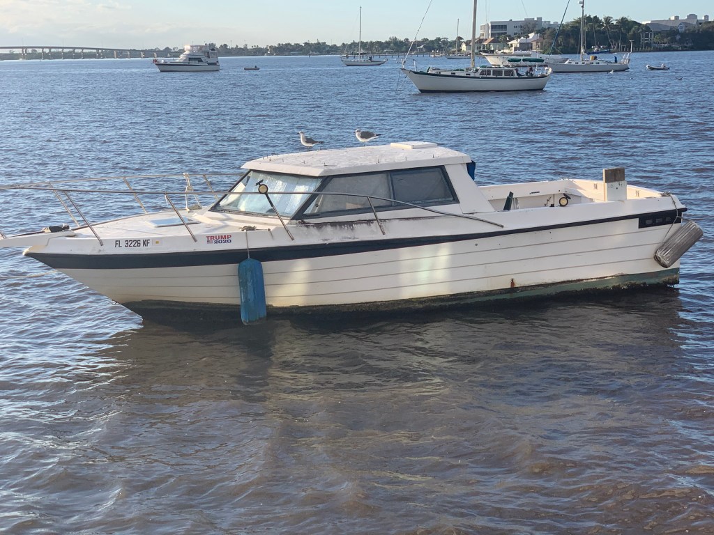
As we cruise out of the anchorage in the AM we get a good look at some of the boats anchored. It’s a great wide open anchorage but many of the boats taking up space appear to be derelict rather than actively transiting the ICW.

I don’t believe anyone is actually on this anchored boat

Having traversed the Okeechobee Waterway a few times, I should have checked the water height of Lake O before even starting down the Saint Lucie River. I figured that Hurricane Eta dumped so much rain on the watershed that dumps into Lake O … it would not an issue. I do a quick check of the USACE website and it is 16+ feet. The highest I have ever seen it.

The ICW is a federal waterway so there is lots of debate about weather “No Wake” signs are enforceable. Either way… “Do unto others as you would have done unto you”. I find it rude when I’m in an anchorage and a passing boat does not slow to reduce their wake and items in my salon go-a flying. You will always find a few ICW boaters who turn off their AIS boat name broadcasting as well as mount their dinghy so nobody and read their boat name. After feeling anonymous they blast through “No Wake” areas. You always hear someone from the anchorage attempt to hail them on VHF CH#16 but they never answer. They don’t answer because they know nobody is going to have anything nice to say to them.

As I pass this marina that is full of Fleming Yachts.

I can’t help but think it’s a Fleming dealer?

I just did a quick search of Fleming dealers and low and behold… There is a Burr Yacht Sales Fleming Dealer in Stuart, FL.

I do understand why they have resorted to placing this sign out front of their dealership.

Wake Damage – Video Enforced

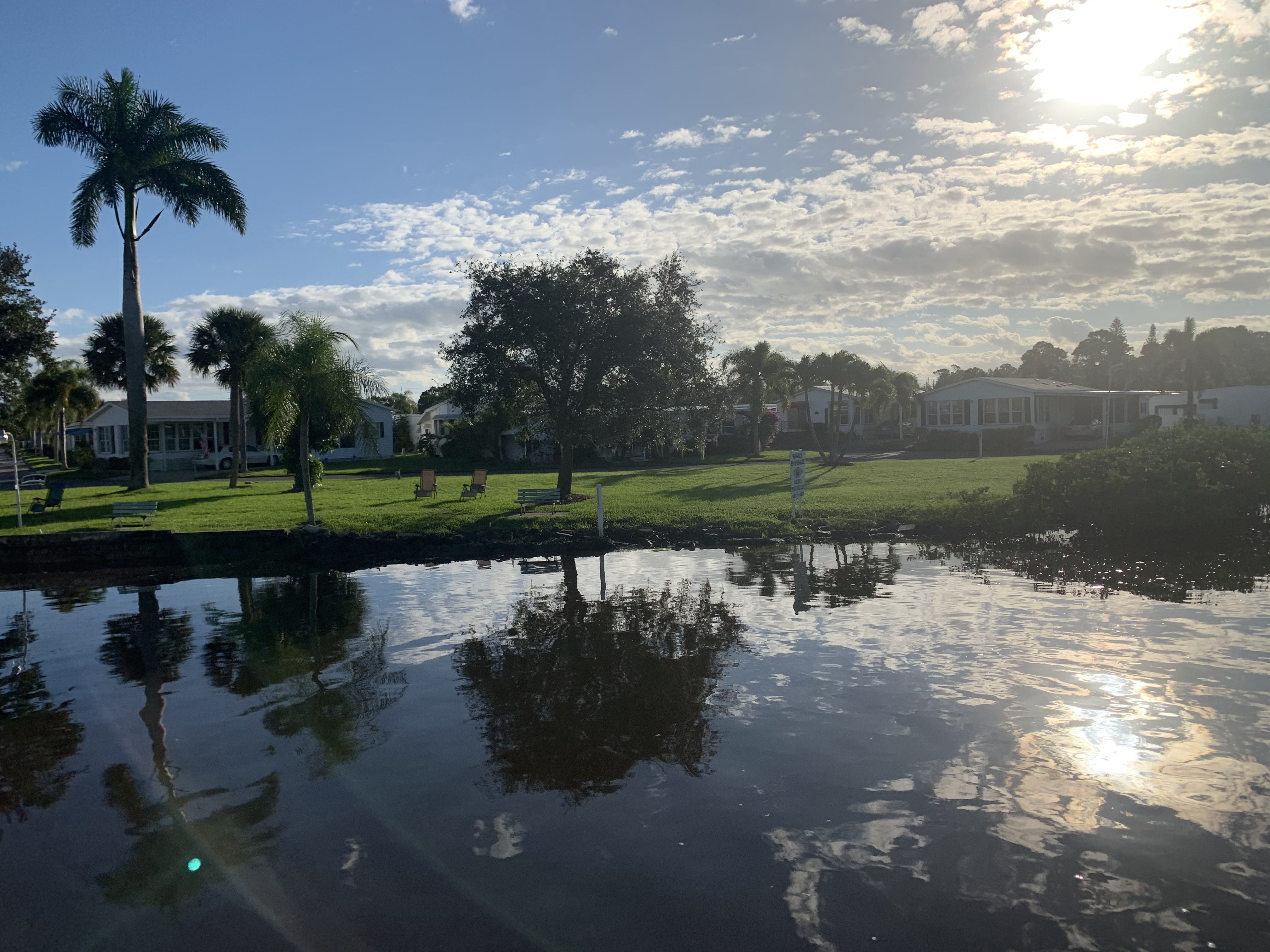
There are many beautiful homes and properties in this area. I’m digging the oversized stork lawn art.

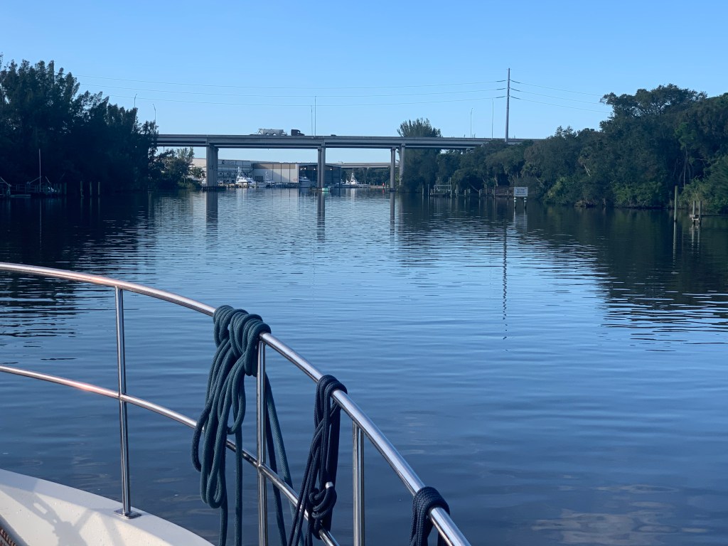
Very quickly you are passing beneath the route 95 bridges that us northerners cross over on our drive to southern Florida.

Route 95 Bridges

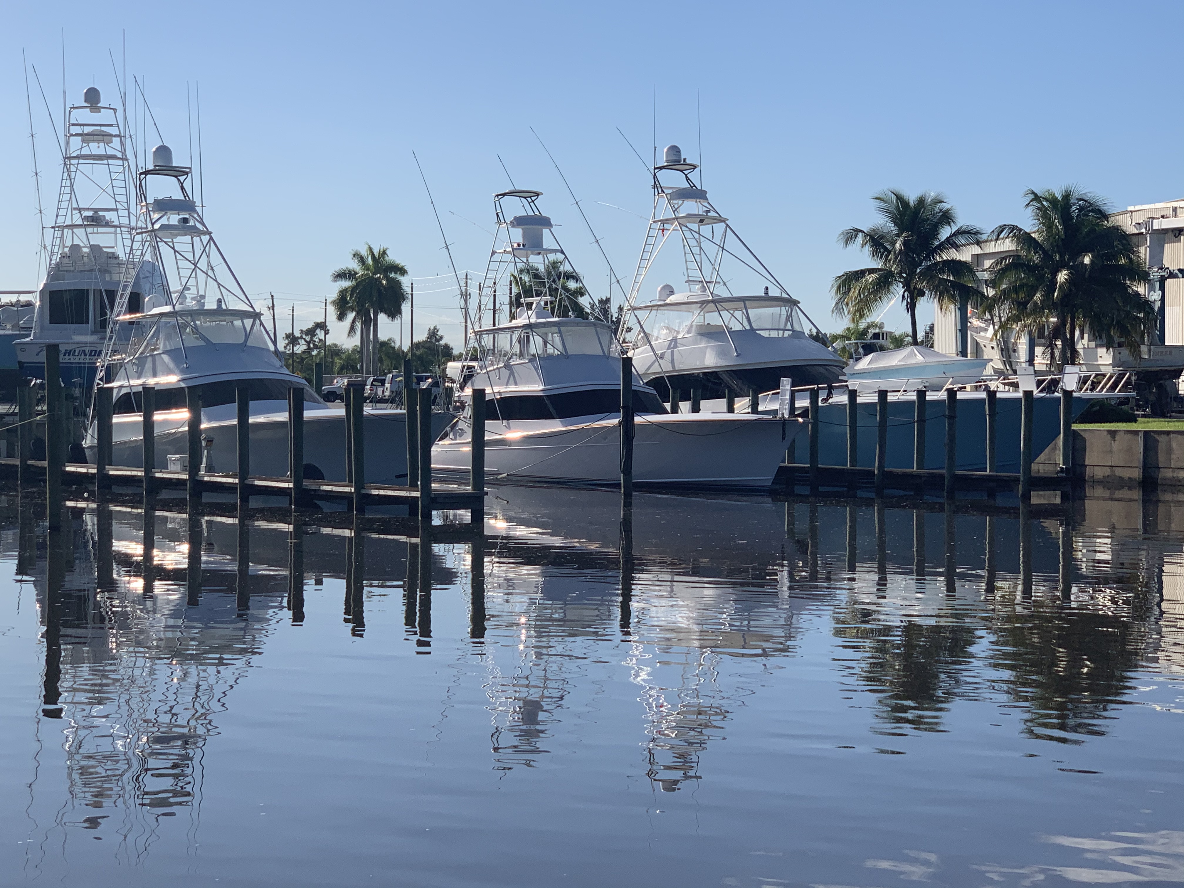
American Custom Yachts has many beautiful custom yachts and a protected boathouse.

MV Yes.. I think it should have been “Yes, Yes, Yes!”

We arrive at the first lock going west on the Okeechobee Waterway. It’s the Saint Lucie Lock with a 14′ drop.

Stylin in my work Pajamas and lock required life Vest.

Soon a sailboat passes us and I think the captain and crew look really relaxed as they pass.

Sitting on the side deck, feet up on phone

Then after it passes I notice that TowBoatUS has them on a hip tow.

TowBoatUS to the rescue

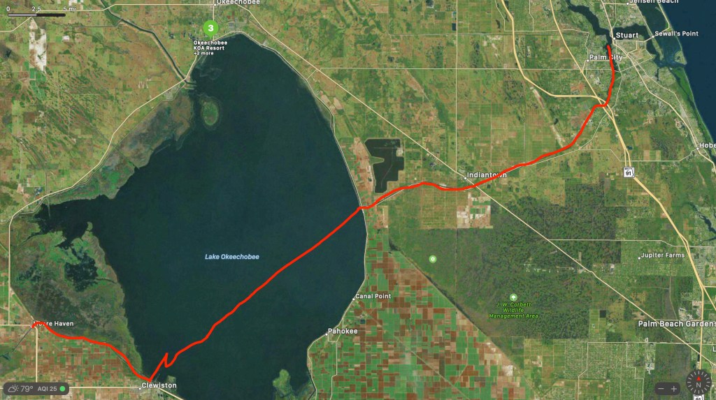
At this point my track looks something like this as we approach Lake O

MV Simple Life Satellite tracking

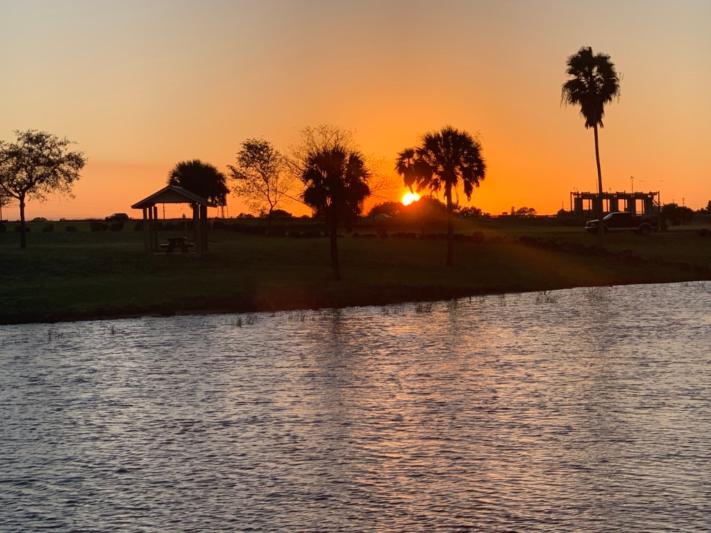
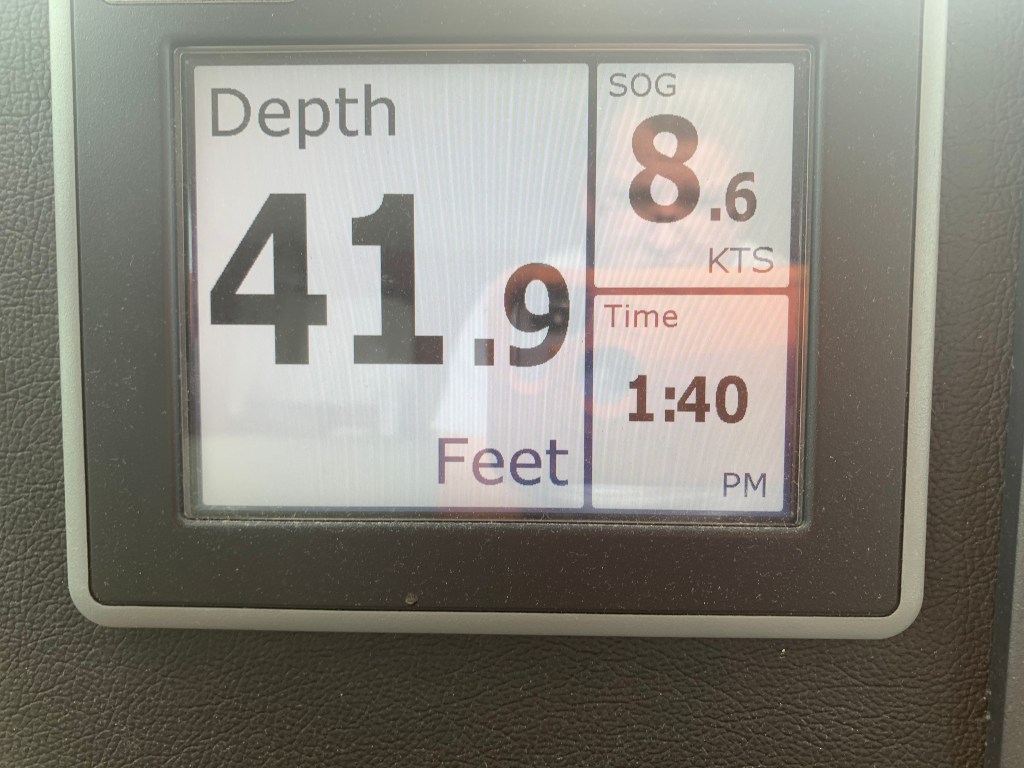
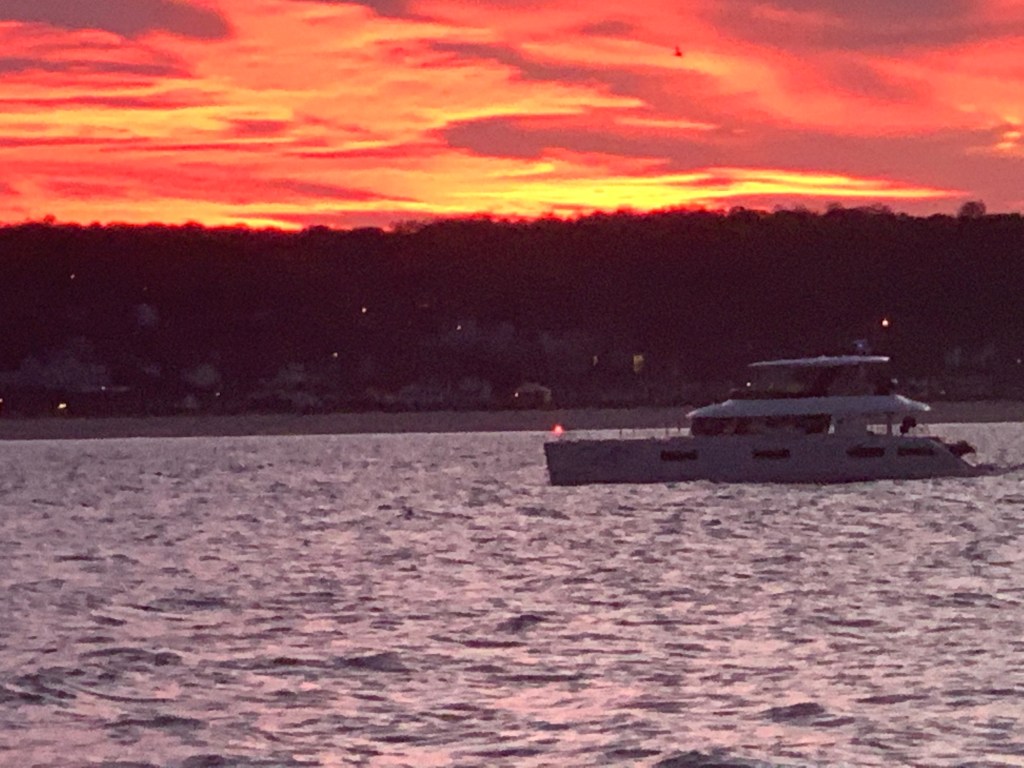
The weather is beautiful

Indiantown weather

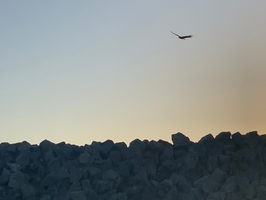
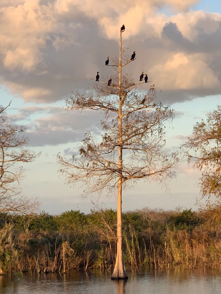
After crossing Lake O and arriving in Clewiston we must go north around the rim channel to Moore Haven. The natural landscape and birds are something to see in this area.

Osprey in flight over dike
Bird perch in the setting sun
Randy Moss Tree

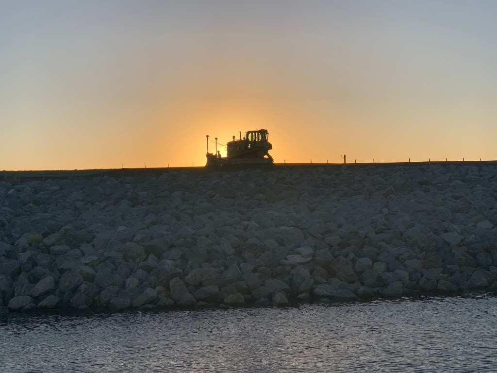
There are many construction vehicles on the dike. It appears as if they are increasing the height of the dike.

Bulldozer
Sunset over Moore Haven, FL

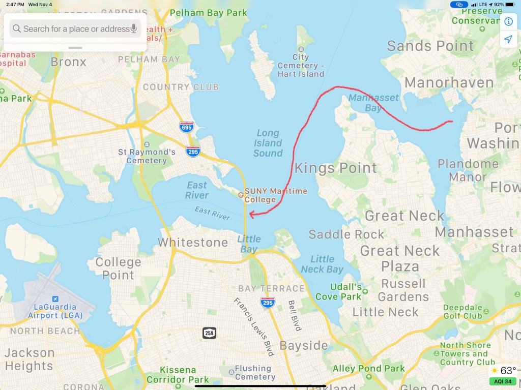
Leg #18 of Winter 04 looked something like this…

Atlantic City 4AM

Sleeping In

I purposely got a late departure from the marina in Port Washington because I wanted to catch a fair current. When I went to leave my slip the gale force winds were on my beam. When you are solo you must untie and leave only a front a back looped over the cleat so you can climb aboard and flick the lines off and go. The problem this morning was that after I flicked off the stern line and ran through the boat to get to the bow line I’m sure the boat would be sideways in the slip. I opted to tie the boat with a single line, jump aboard, flick the line of the cleat and try to get out of of my slip before the wind had it’s way with me. Lucky for me the slips are very wide as were the fairways.

Pulling out of Port Washington a sailboat was following me.

Blue-hulled sailboat reminds me of my old Hunter sailboat before I bought my trawler

Port Washington is just around the corner from the east end of the East River.

Port Washington is a great staging location to wait for a fair current

Under Bridges

Throgs Neck Bridge is the first bridge as you enter the E. River. You can see the Bronx – Whitstone bridge behind it. The fair current boosts my speed from 6.5kts to 8.6kts as I zip along under the bridge.

Throgs Neck Bridge East end of the E. River
8.6 kts thanks to the current

Passing Traffic

Almost immediately I’m being passed by USCG & NYPD boats as well as other boat traffic. They are everywhere as you navigate the East River.

Dystopia

The NYC skyline can be seen in the distance. On this cold grey day I can help but think it looks like a scene from some dystopian future SciFi flick.

Dystopian future skyline

Push Me Along

As I approach the infamous Hell’s Gate where the E. river & Harlem river converge my speed jumps to 11kts.

work pajamas on feet in the helm

Right of Way

Soon I had an oncoming boat that was crossing my port bow. They were on a collision course so I sounded my airhorn for a 1 whistle pass. They did not change speed or direction. I blew my horn again and again with no reaction from the oncoming boat. I finally laid on the horn turned to starboard. We exchange some hand waving before the captain got on the VHF calling me a moron. I simply explained that he did not have the right of way. He was on a collision course. He did not respond to my sound signal and left me no choice but to stop. No response.

Staten Island Ferry

As I pass the souther tip of Manhattan I see the ferry terminal and the Staten Island ferry docked.

They never stay docked very long. NYC’s fast pace as passengers rushing off and on and they are underway again passing me.

A Sexy Girl goes Past

As I’m passing the Statue of Liberty I see a radar return for something passing me on my starboard side. She’s a beauty. MV Arriva from England.

Hustle and Bustle of NYC

This is the busy part of NYC harbor and all sorts of traffic is passing me.

USACE (US Army Corp of Engineers)
Maersk Containership entering NYC harbor

The Jersey Shore

As I pass under the Verrazanno Bridge and past Sandy Hook the sun is setting and at first it’s a beautiful yellowish orange.

Yellowish, orange sunset off Sandy Hook

But minutes later it’s very pink

Pink sunset off Sandy Hook

Serenity

My AIS shows a 66′ foot yacht approaching from my stern.

AIS info transmitted between boats digitally over VHF CH#70

hmmm… 33 feet of beam I think as I wait to snap a photo of this boat with the sunset above. MV Serenity VII is a Lagoon 63 – 4 cabin, crewed power catamaran for charter. You can reserve it here for about 30K/week in the Bahamas if you like? I’d guess the crew are bringing the boat south to the Bahamas for the start of the chartering season.

Red Light District

As the sun sets I swap my salon LED lighting from blue over to red to keep my night vision.

The rest of the trip was a long dark ride to Atlantic City. The sea was calm and I was scheduled to arrive around 4AM. This leg of the journey was 16 hours. I had planned to anchor in Brigantine Bay but it was dead low tide when I arrived and every attempt at getting in the narrow entrance channel ended with the bow slowly riding up on a muddy silty shoal. Being as tired as I was, I simply found a place to drop the hook near the Golden Nugget. The anchor was no sooner set and I curled up on the pilothouse berth and was sound asleep. I plan to wake in 2 hours when the sun comes up and as I have another long 100+ NM day.

W04L003

The 113NM third leg of my Winter 2020 journey looked something like this.

W04L003