Beware of Boaters

Lockwood’s Folly

Lockwood’s Folly inlet comes upon you quickly after leaving SJP Marina and heading south.

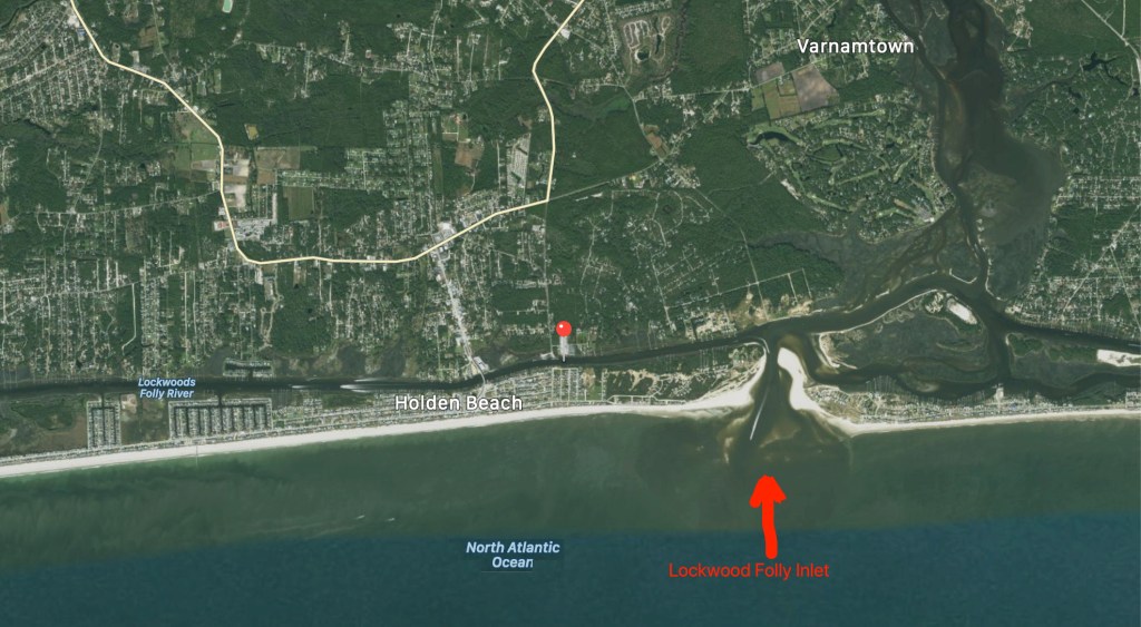
Lockwood’s Folly is a known trouble spot for ICW shoaling. Every year, I download Bob Sherer’s (AKA Bob423) track that he uploads for free to his Facebook group called ICW Cruising Guide by Bob423 and his Fleetwing Blog. I used to stay up late each night after anchoring while I plotted my route for the next morning. Then a few years ago, I came across Bob posting his track online in a downloadable .GPX file format. I downloaded it and realized that he was quite skilled at making routes that avoided the many ICW hazards. I quickly realized the value in using his month-old track as well as Bob423’s 2020 ICW Cruising Guide. I’m on my fourth year of navigating from RI to the FL Keys. After eight years of doing the same, Bob joined the Waterway Guide, another popular ICW guide book/website.

Bob423’s Track

Bob’s track seen below in dark blue. It shows the proper shore-side route through Lockwood’s Folly.

Bob423’s Lockwood’s Folly route

The tide is two hours before low as I make my way south.

I play “hug a buoy” as I pass closely by a red buoy.

ATON 46A in Lockwood’s Folly

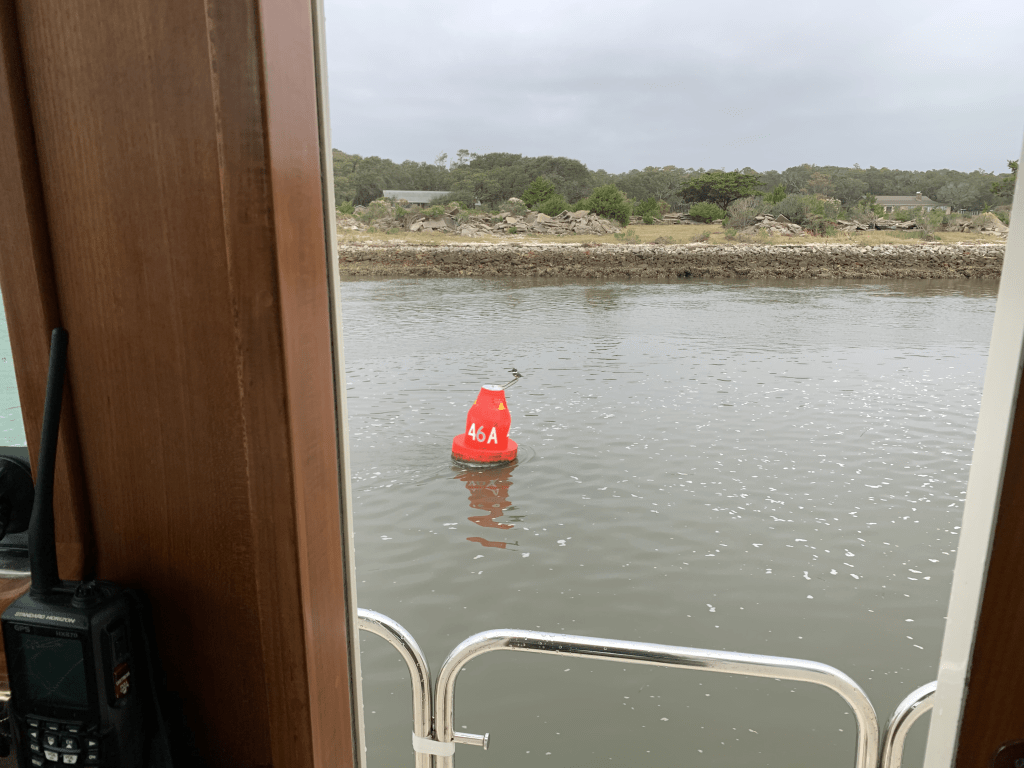
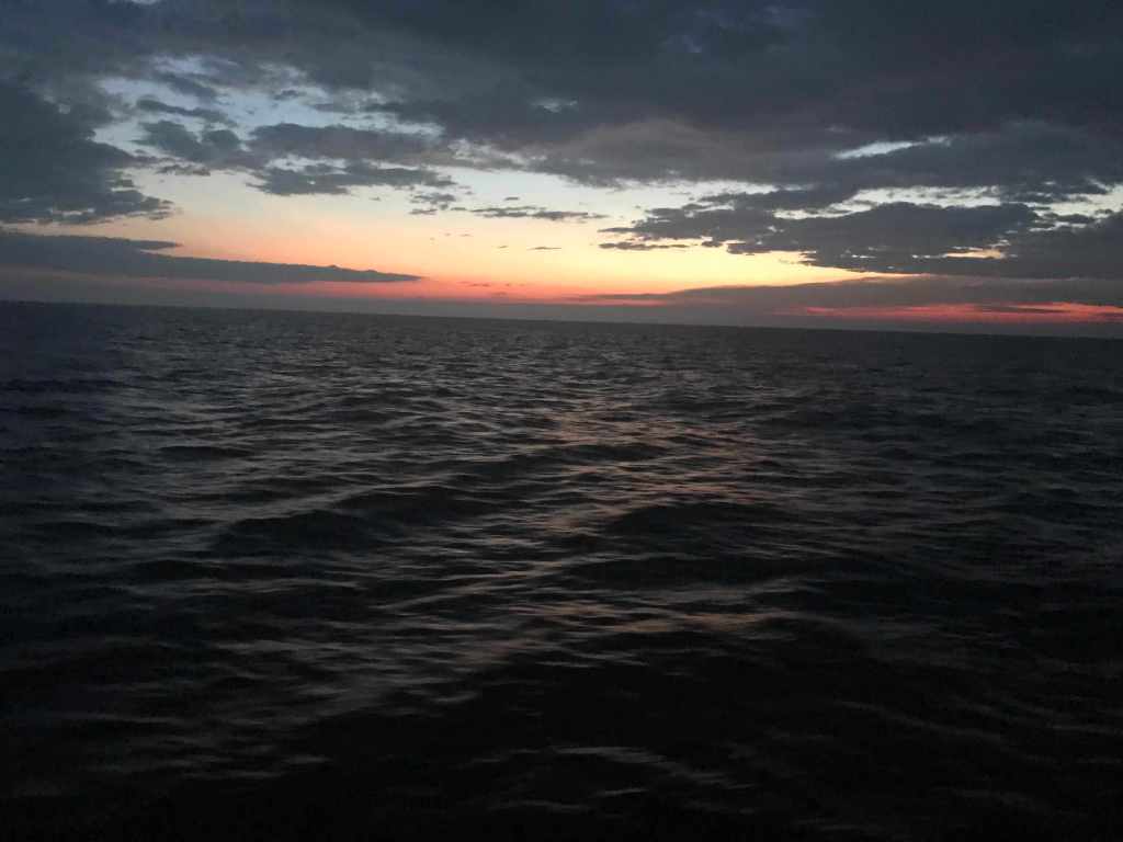
You can see the Atlantic Ocean as you look east out the inlet.
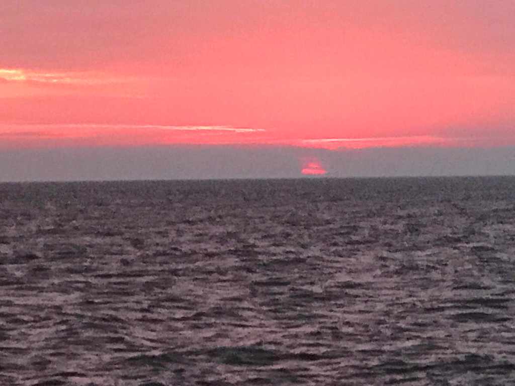
Atlantic Ocean surf can be heard as I pass

Rough Atlantic

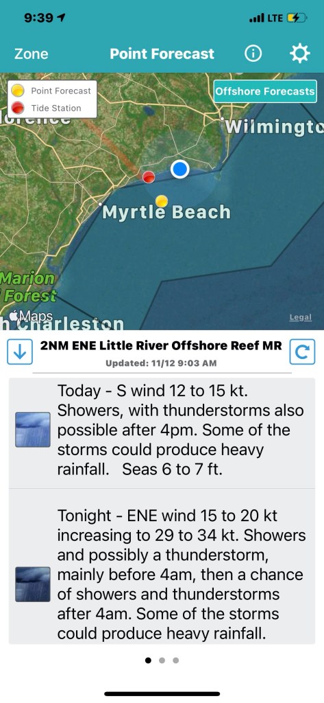
Hearing the surf, I think… I’m glad I did not exit Southport this morning and take my chances running the outside. When making the inside vs. outside decision, I use apps like the NOAA Marine Forecast & Weather app on my iPhone.
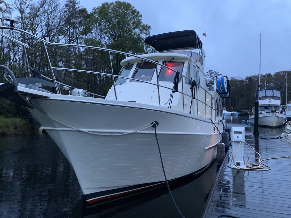
Holden Beach

I passed this beautiful Nordhavn in Holden Beach.

Sexy Nordhavn

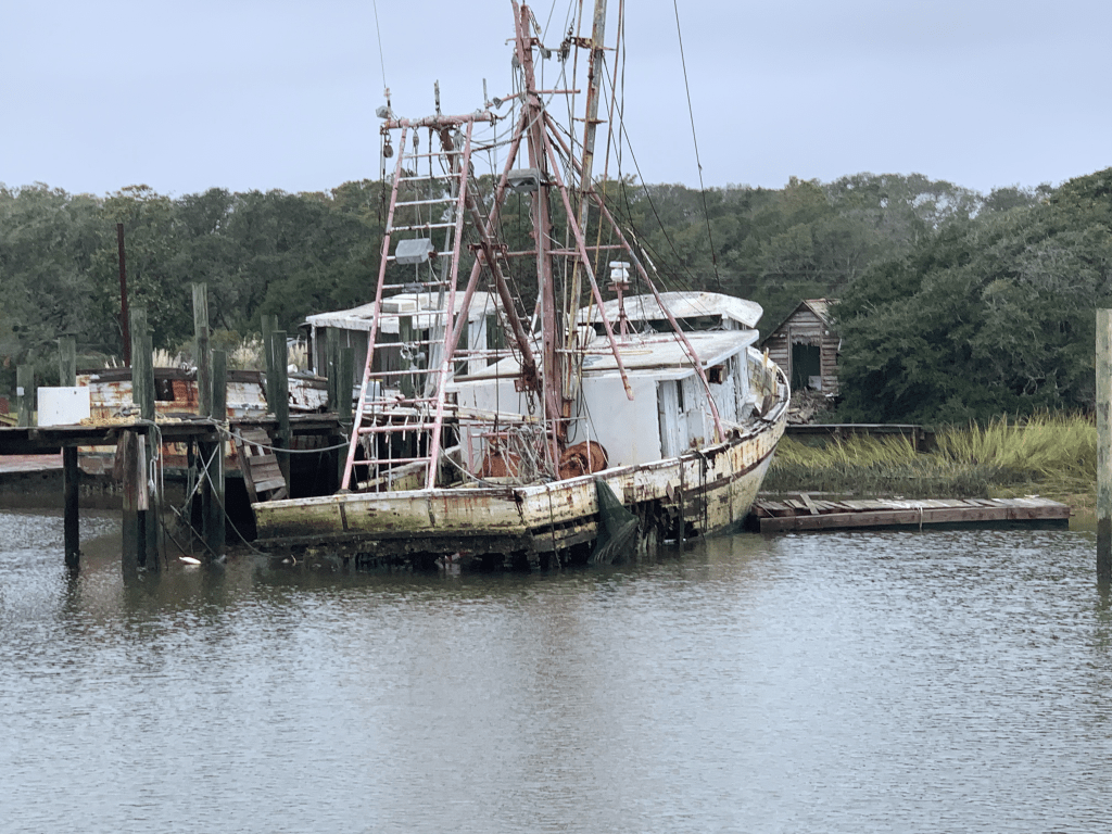
As I travel through Holden Beach I can’t help but notice what appears to be storm damage possibly from Hurricane Isaias back in August of 2020?

I’m not sure I can blame Hurricane Isaias for the fishing boat pictured below. The Second Law of Thermodynamics is at work here. Even Mother Nature has to follow the rules!

Increasing Entropy

Shallotte Inlet

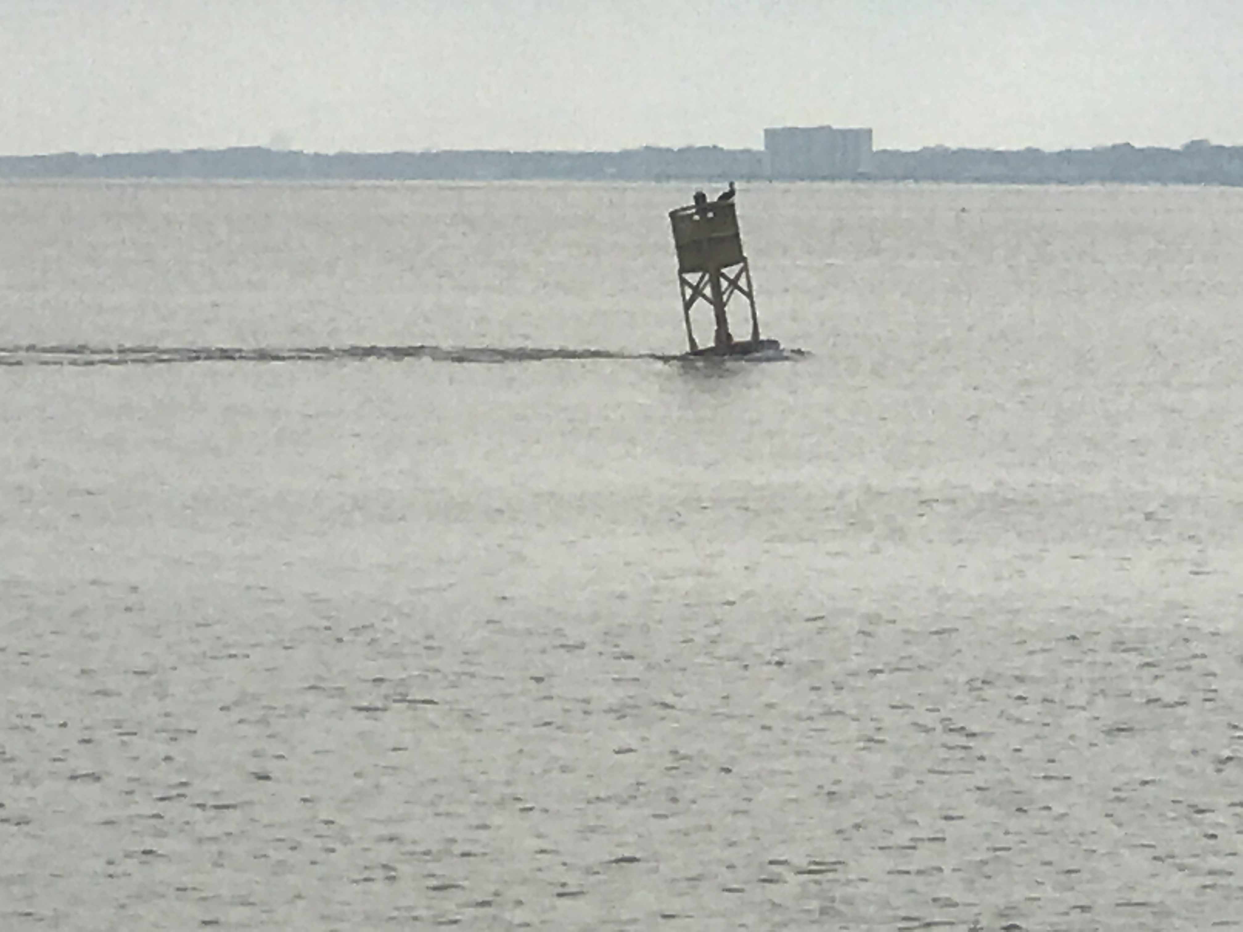
The next inlet is Shallotte Inlet and it’s the same shallow story replayed.

USACE Hydrology coloring overplayed on charts using Aqua Map iPad app

If you want to know where it’s shallow… it’s where the birds are standing!

Sea birds facing into the wind

Beware of Boaters

Traveling the ICW you will encounter many boats that pass you in ways you don’t appreciate. Many times it is simply because the captain was not paying attention leading up your meeting. I’m guilty of loosing focus myself. Traveling solo in the helm seat for 10+ hours a day you can imagine I have zoned out quite a few times only to look up surprised by an oncoming boat.

I see a boat that is not staying “Right of Center” like you do on any road in America. I think to myself the captain will get right of center as we near each other.

Please keep right of center

I used to be bothered by this but it happens multiple times on every trip. You need to be ready to come to a complete stop if you must to avoid others on the ICW.

Less than an hour later I notice a small fishing boat crossing in front of me in the channel.

Small boat crossing ICW channel

As I approach they don’t make any gestures to alert me to the fact that they appear to be towing what I think was a net behind them in the channel. Luckily for me, they had a buoy marking the net’s approximate location in the water behind them. As I turned to avoid the net I heard my low water alarm go off and the boat start to slow as it plowed into the silty bottom. I quickly backed out and as I passed I heard someone from the small boat yell “sorry”.

Sexy Ladies

These sexy ladies passed me near Sunset Beach, NC. I believe they were a Hinckley, a Lazzara and an Outer Reef. The extra frothy wake from the Hinckley made me suspect a jet drive system rather than propeller?

Welcome to South Carolina

Finally I crossed into South Carolina. I like to acknowledge crossing state boarders even if… I am the only one aboard.

Just over the border

I am now cruising on a rising tide as I pass Little River Inlet.

Dunn Sound

More increasing entropy.

Every year I see less and less of this fishing boat still standing

Captain Poo

I made my way through the Little River Swing Bridge or as it is formally known since 2018, Captain Archie Neil Poo McLauchlin Swing Bridge. It’s named in honor of a local North Myrtle Beach boat captain who the locals enjoyed so much they nicknamed him Poo?

Cap’n Poo Bridge

Tropical Storm Eta

Tropical Storm Eta has the winds swirling and rain coming down at all angles today.

Winds from Eta as she passes near Myrtle Beach, SC

Sadly, multiple deaths from Eta flooding have been reported in the sounding area.

Eta was a lethal tropical storm for North Carolinians

As I travel down this stretch of the ICW, you can watch the storm water as it finds its way from the watershed to the river.

There is a lot of debris floating down the river. I’ve seen everything from a pumpkin float by…

Not sure why my iPhone photo coloring is so off?

… to full trees resting near the channel’s edge.

As I go by pilings sitting on the river’s bank, you can easily imagine these objects floating from the bank as the river rises.

hard rain washing objects into ICW

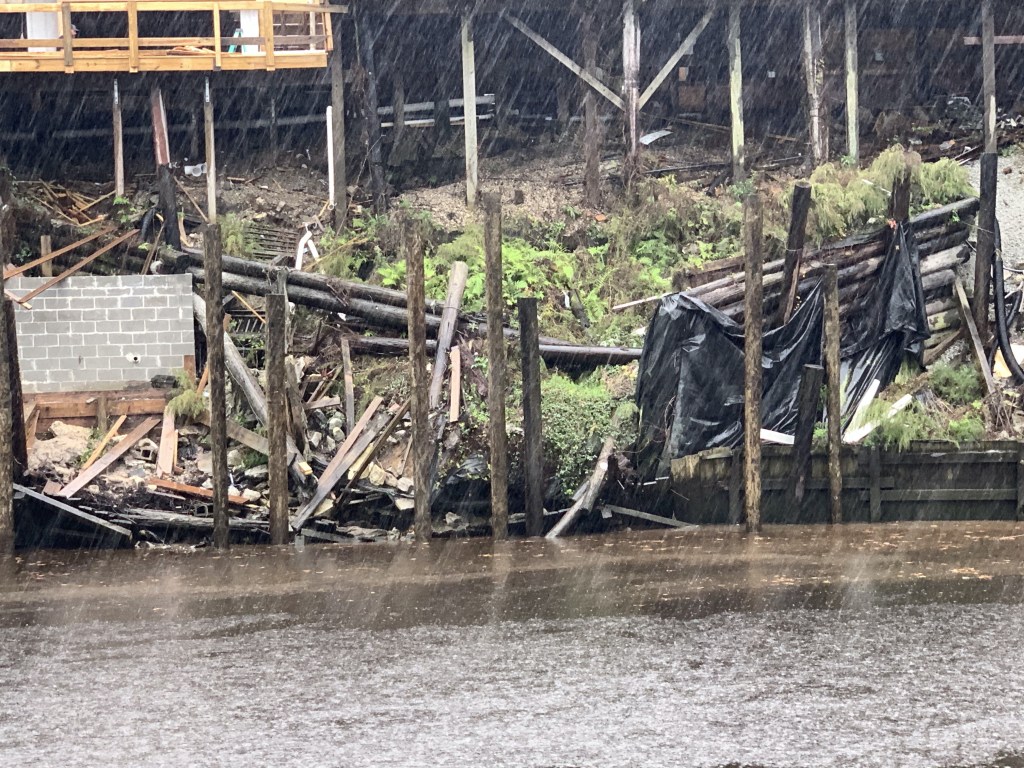
Rains from Tropical Storm Eta are falling like bullets on glass.

Bullet proof glass

#BigDeckEnergy

I go by this deck and grin.

All the confidence of a man in full control of his lawn …

#BigDeckEnergy
Feeling confident Captain 😉

Pronounced Sock-Ass-Tee

As I arrive at the 11 ft high Socastee Swing I am aware that it will not open with sustained winds 25+ mph. The bridge tender is not keen on letting me through but does.
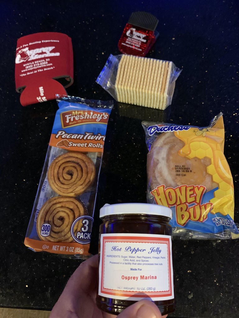
Stock photo from a beautiful day unlike today

Osprey Marina

Rather than anchor in the Wacamaw river, I opt to stop at Osprey Marina.

Osprey Marina docks in the rain
Eta is not damping the mood aboard Simple Life. It is IPA O’clock!

Hot Pepper Jelly

I have stayed here several times before and I waste no time checking in so I can get my Osprey Marina goodie bag that always contains some crackers and yummy hot pepper jelly!
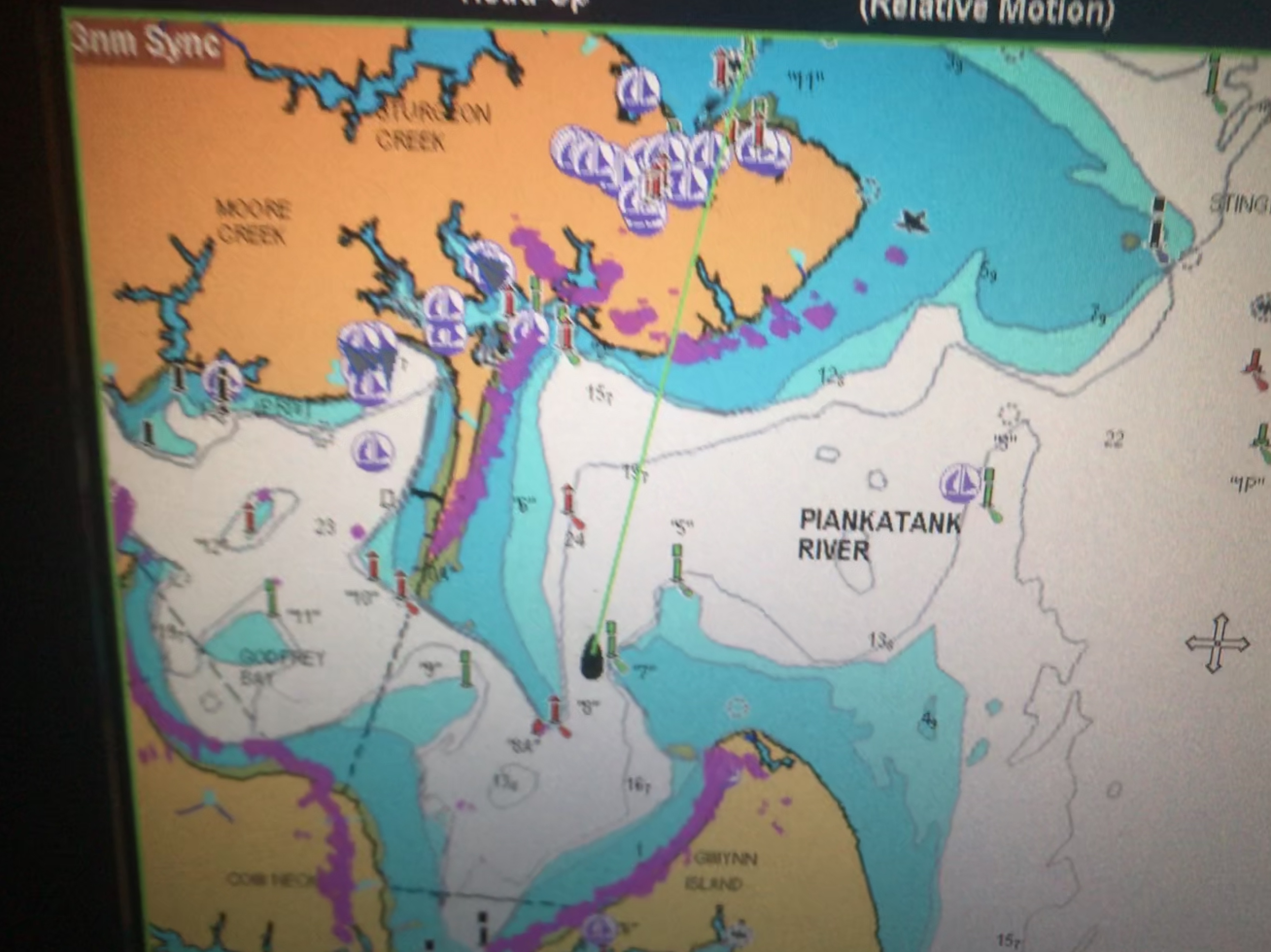
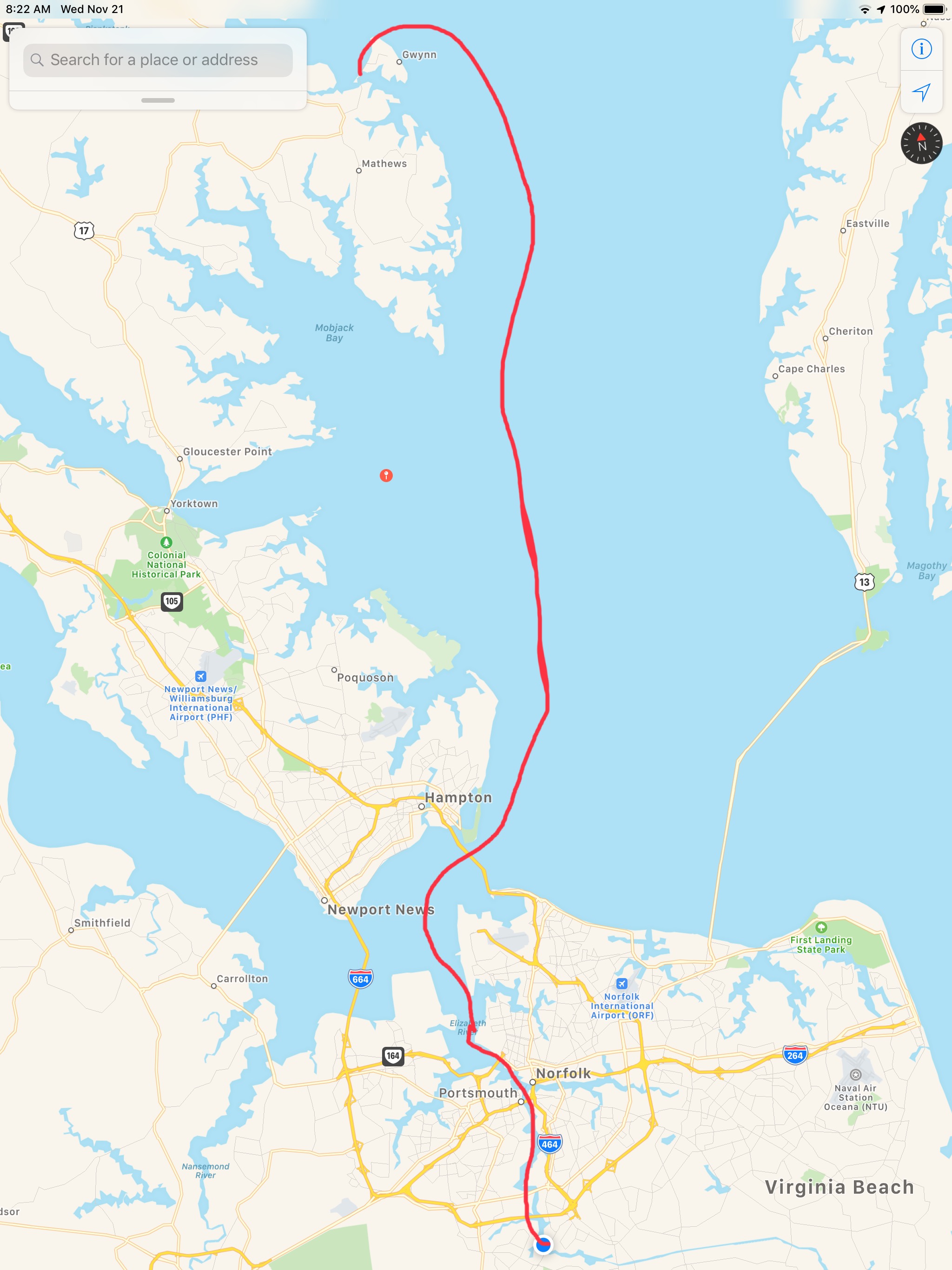
Osprey Marina Goodie bag contains their coveted Hot Pepper Jelly
Signage in the Osprey Marina dock house of the Hot Jelly Ladies

Winter 04 – Leg 011

The eleventh leg of my journey looked something like this…

W04L011 Route

Slipping into Venus

The sunset before we went to bed was beautiful in Godfrey Bay

Sunrise in Godfrey Bay, VA

We had woken up at 4AM and decided to get underway. It was pitch black but I wanted to arrive at Top Rack Marina before they closed without having to burn more than 2.5 gals/hour.  So as we twisted and turned our way out of the Piankatank River we had to rely on the lighted buoys and cans. Recall that buoys or “nuns” are red, even numbered and have pointy “nun hat” tops, cans are green cylinders with odd numbers and flat tops. 

MV Simple Life in the center passed Red lighted beacon #8 and approaching Green lighted beacon #7
Directly above the red beacon light you can see Venus. I think the halo effect making it look even bigger in the photo

As we headed East the planet Venus was brilliantly lit up and acting as a perfect aiming target to stay on course. We were slipping our way past shoals and straight into Venus.

At times I would run with the searchlight lit to attempt to view and steer around crab pots and unlit fish weirs. This is the hazard of running at night that you can wrap a crab pot line around your propeller or become ensnared in a fish weir. 

I have a project to install LED lights under the bow to light crab pots without reflecting off the foredeck

Two hours passed and first light was upon us. Sunrise was a coming…

Danger Area… If you go to lower zoom levels to see what chart note is attached to the Danger Area you only get an annoying note that says to read NOAA’s US Coast Pilot Vol #3. That’s not very helpful as I used to keep all the Coast Pilot books printed and stored aboard but I found that I was using the online versions linked above.

Danger Area, Why? Have to look in the US Coast Pilot Vol #2

Coast Pilot is a FREE, online pdf, navigation book published by NOAA.

It’s a lot like the Maptech Embassy or Waterway Guide books that I used when I first started boating. 

The trip down to the mouth of the Chesapeake Bay was easy smooth going.

However, as we approached the inlet to Norfolk, VA the current was quickly ebbing.

Soon we were surrounded by military gun boats and helicopters buzzing overhead. On the VHF you can hear Virginia Pilots calling ships preparing to enter the harbor. They are landing on a cargo ship via helicopter for inspection of the vessel. All hatches must be open except the one the helicopter is landing on. Specific instructions were given not to have crew approach the helicopter on landing. 

Warships were everywhere to see in port but we let those boys do their work and stay clear of them. 

If you click on any of the AIS targets they come up as “military” or “US Govt”

The shipyard has some amazing mega-sized structures.

it’s looks like it climbed onto the building

As you proceed further down the Elizabeth River you are reminded that much of what’s on the shore is off-limits to anyone other than the US Government and military. 

At one point in our journey down the channel I noticed that the gigantic MSC Silvana container ship had black diesel smoke coming out of it’s stack. OMG. it’s underway and blocking the entire channel!

We had to get out of the channel to get past her

Soon we were passing this lifeboat that looked like it had lost it’s ship. These fellows were just riding around in the life boat. Maybe they are on shore leave and wanted find a restaurant 😉 


I Totally WANT one of these

I just think these are the coolest. I’m jealous of this woman getting to launch one of these free-fall lifeboats. 

How cool is she?

Soon we made our way to Top Rack Marina.

We love this stop for several reasons. 

  1. Amber Lantern Restaurant
  2. Great fuel prices
    1. $2.74/gal Diesel – we took on 306 gallons.
  3. Great slip prices
    1. $35/night any length boat (includes power)

People often ask us how cheap can you live aboard? It’s a great question and the answer is “it depends”. It depends on the life-style you want to live. Sometimes we hit marinas and restaurants every day and money seems to disappear. However, other times we spend cruising on anchor every night and spend nothing but diesel. We left Warwick, RI on Sunday, Nov 11th at around 3PM. It’s now 10 days later, Nov 21st we are at Top Rack Marina in Chesapeake, VA. Being a fan of science I believe people would rather see a data-driven answer where they can draw their own conclusion. If we “Do the Math”.

  1. We have completed 9 legs of our journey over 10 days.
  2. We put 89 Hours on the diesel
  3. 86 hours / 8 legs = 10.75 hours a leg. (skipping the first short 3 hour day)
  4. 10 hours on the genset (4 because I forgot to shut it off while underway)
  5. $242 on 2 nights dinner & drinks (I don’t recall getting back to the boat on 1 of them)
  6. 306 Gallons of diesel (main engine, genset & forced-hot-air diesel heat)
  7. $838 on diesel
  8. $150 for 3 nights at marinas

I hope that sheds some light on budget.

Our 9th leg looked something like this…

Apple Maps screen capture with hand-drawn finger route