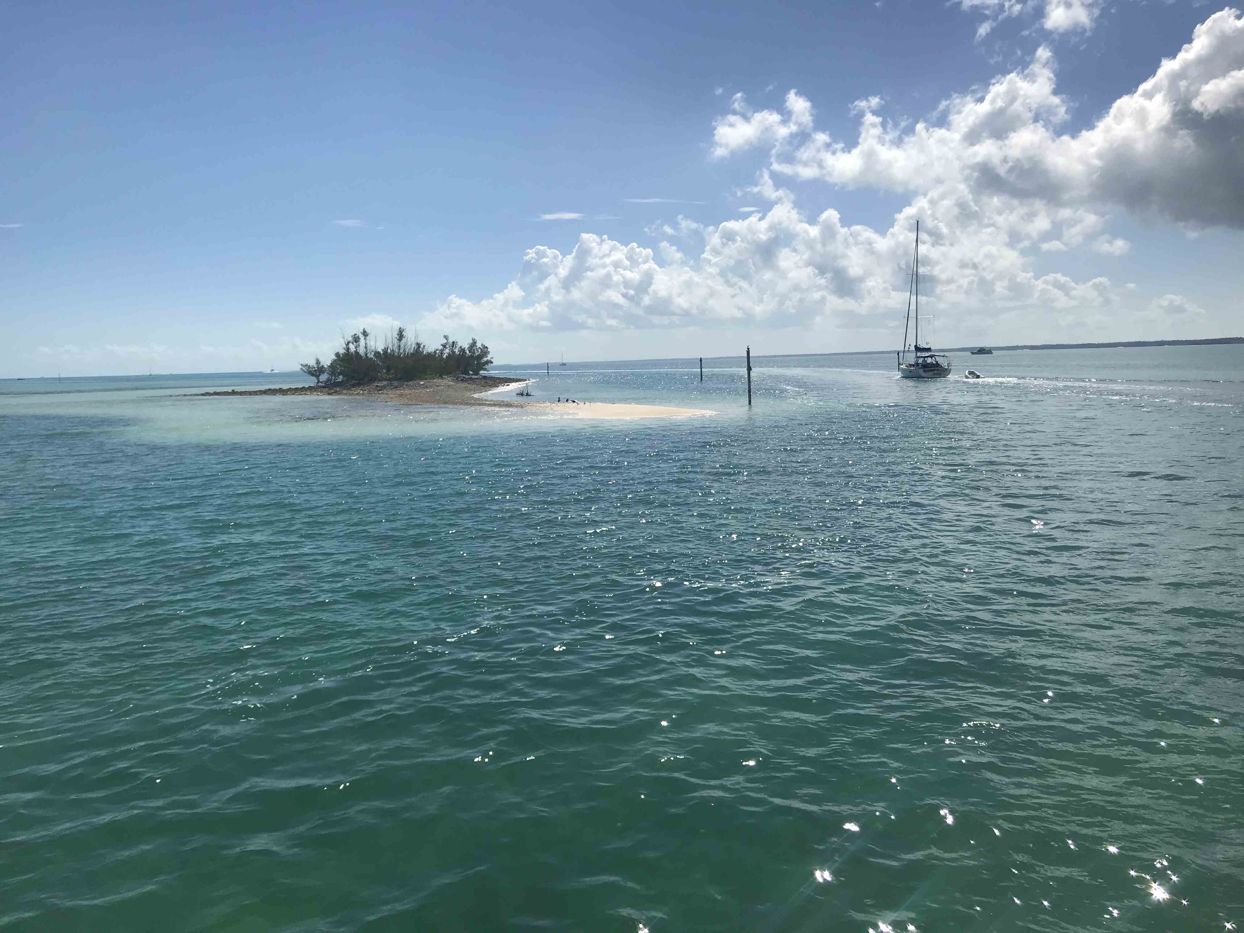
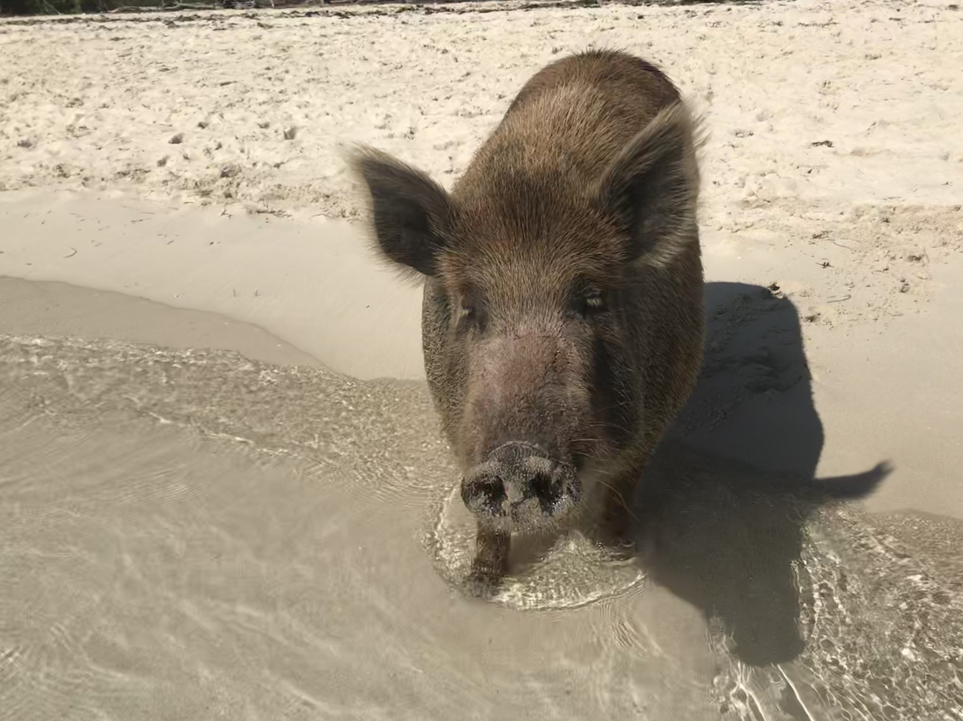
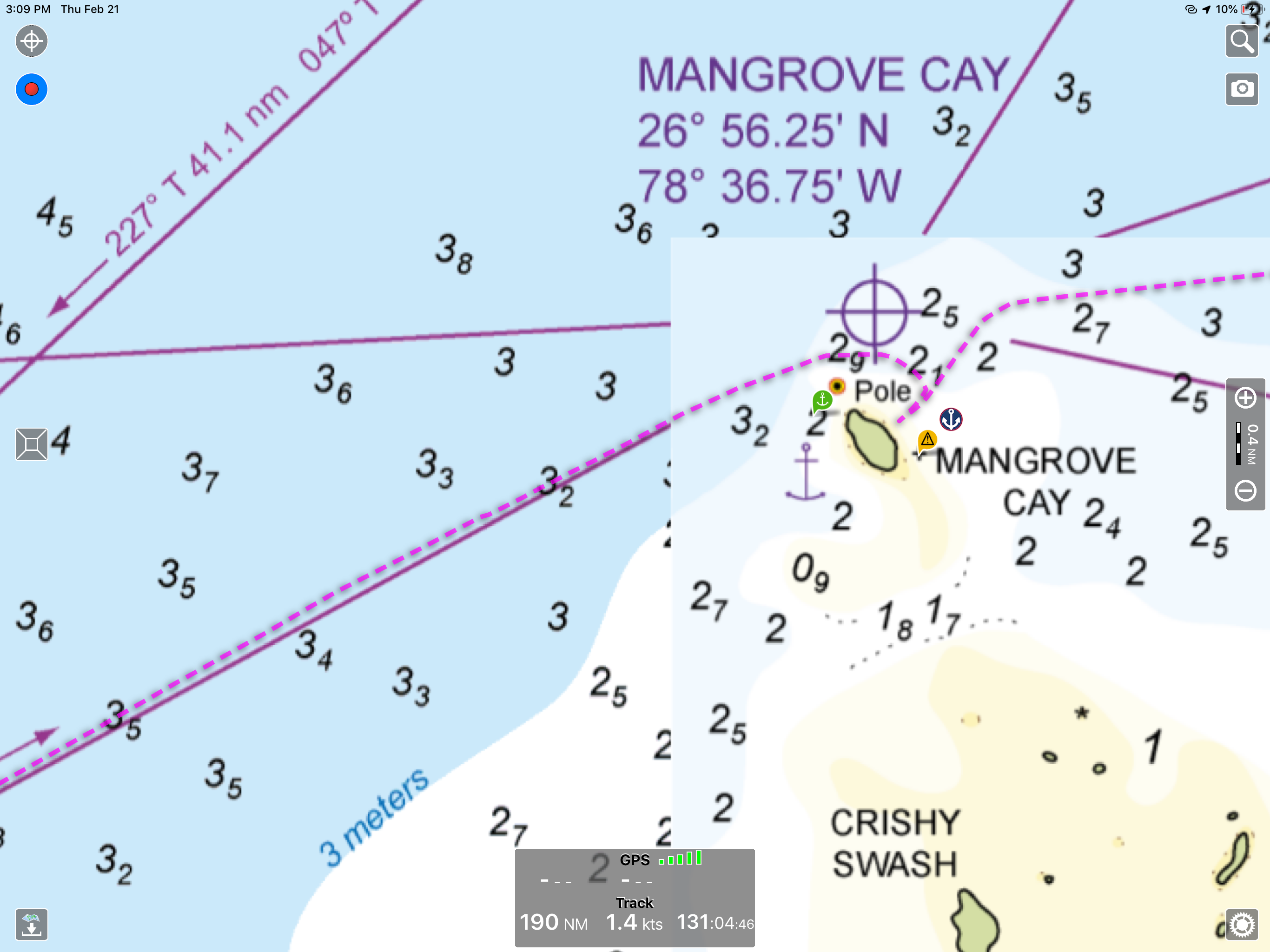
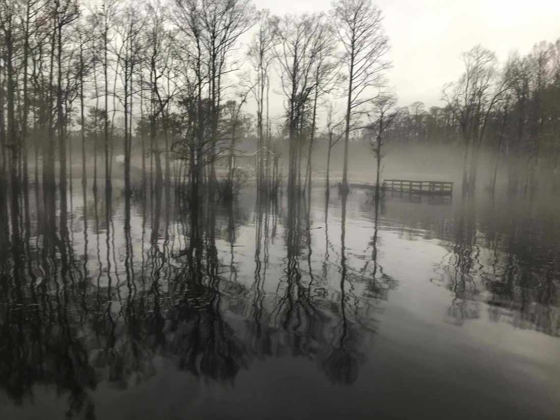
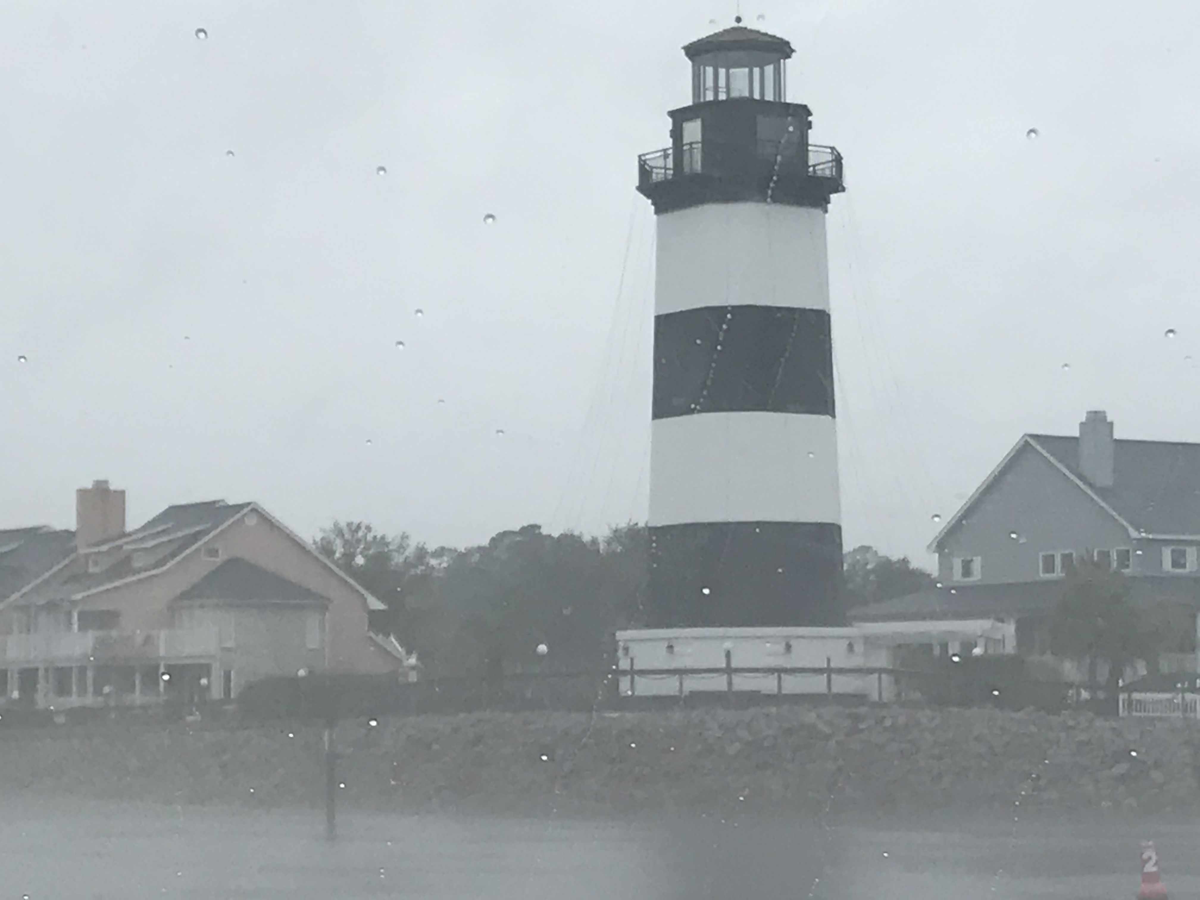
We ended last winter season in the Abacos, Bahamas. It was an amazing experience to be able to spend so much time exploring the Abacos. When we heard that category-5 hurricane Dorian had made landfall on Elbow Cay in the Abacos we feared for the safety and well-being of the Bahamian people. Worse yet… Dorian seemed to stall out over Freeport in Grand Bahama Island.
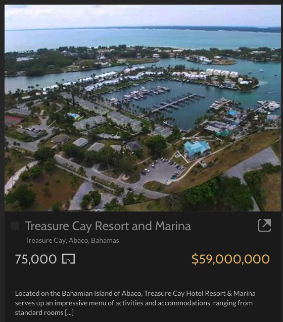
Treasure Cay was our favorite spot in the Abacos and we were stunned to see that little more than the concrete bar top where we sat was left standing.


I have been reading all the Bahamas Facebook group posts and find it inspiring to see how many US boaters are making their way back to the Abacos to help with the reconstruction efforts. If it works out, I would be proud to join the Abacos support group.
This summer was very busy for me and I only got to take the boat out for a couple of weekend trips to Newport, RI. Thanks Preppy for convincing me to stop working on projects and get out there. The rest of the summer was spent on boat projects and family matters.
My sister got married to her boyfriend of many decades, Michael. They were kind enough to let me officiate their marriage. Just call me Father Mahty 😉
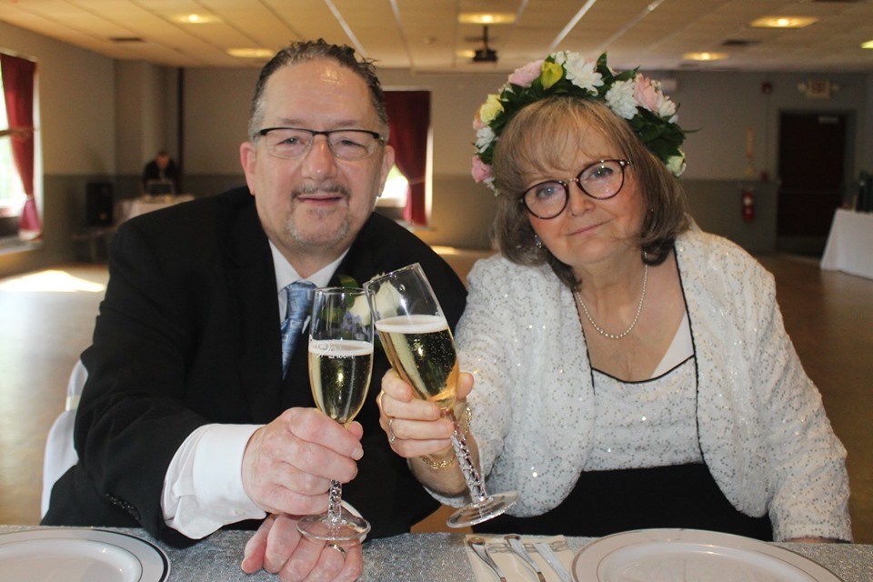
Bride & Groom 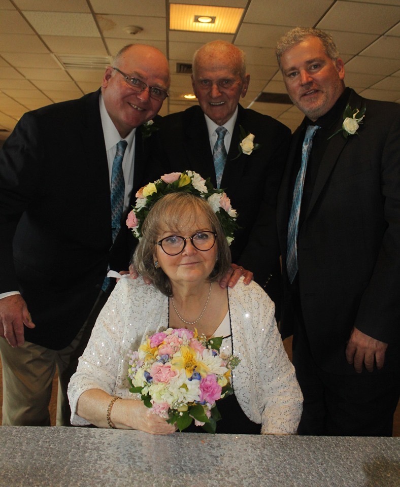
Bride and her Men 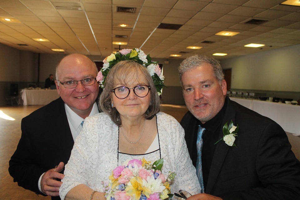
Siblings 
John & Erin with the Bride & Groom 
Michael & Me 
Me & my Sis 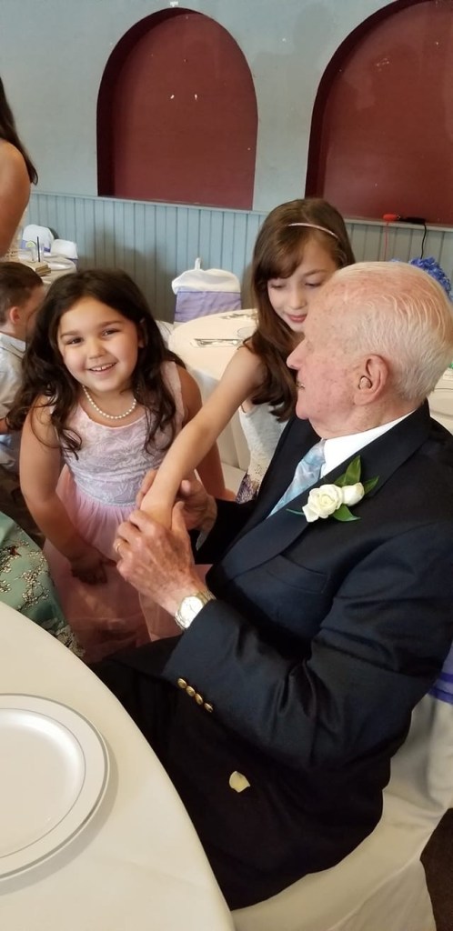
Nora & Gianna just can’t get enough of Gumpy 
Doreen & the Girls
Seeing my family after being away all winter is something I look forward to.

Dad Made it to the Boat! 
Whatever I’m sleeping 
Where you at Dad? 
This Couple Make My Trip South Possible 
Dad and Me @ John & Erin’s Wedding Party 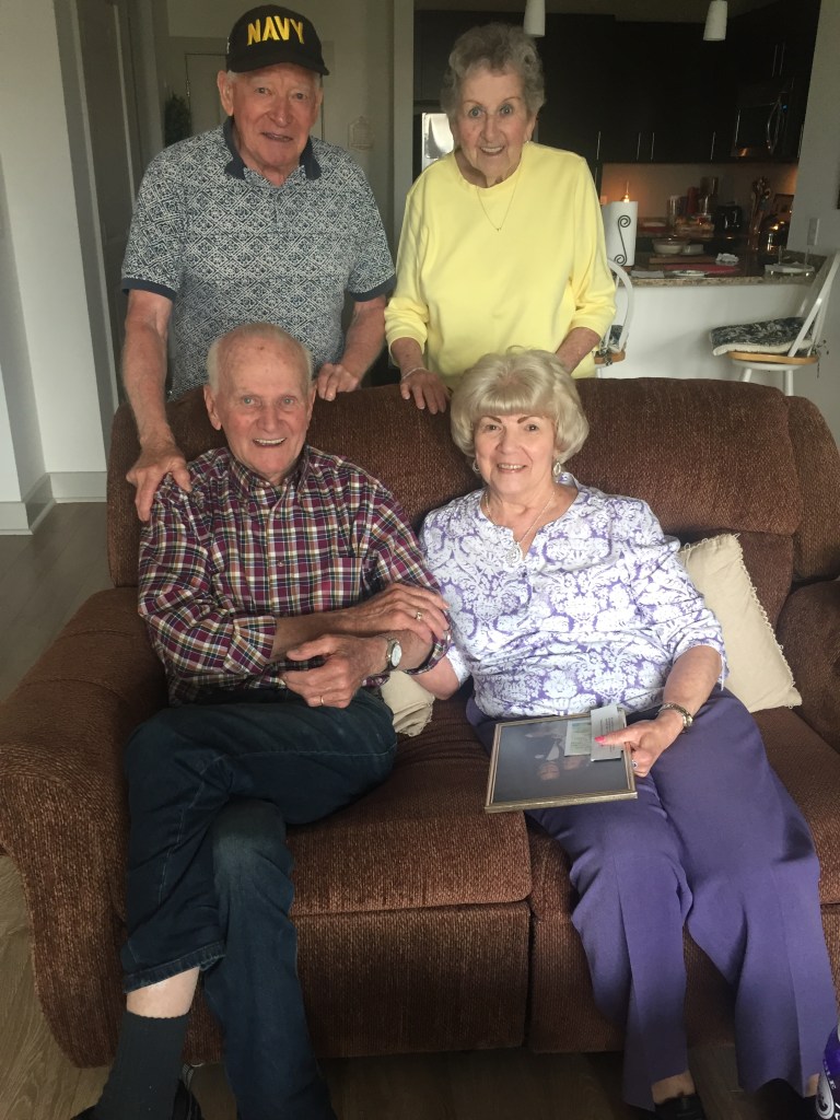
Aunts and Uncles
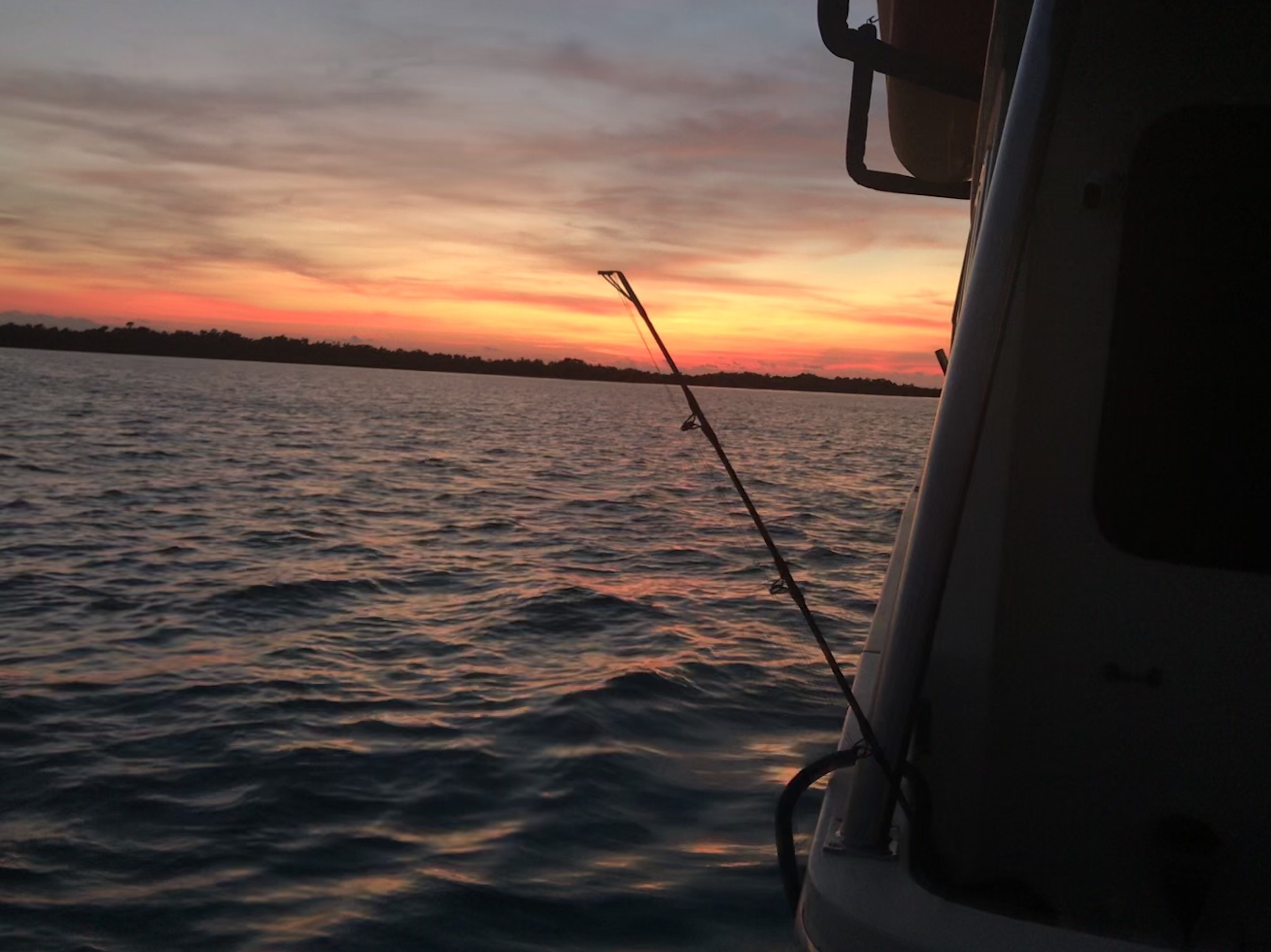
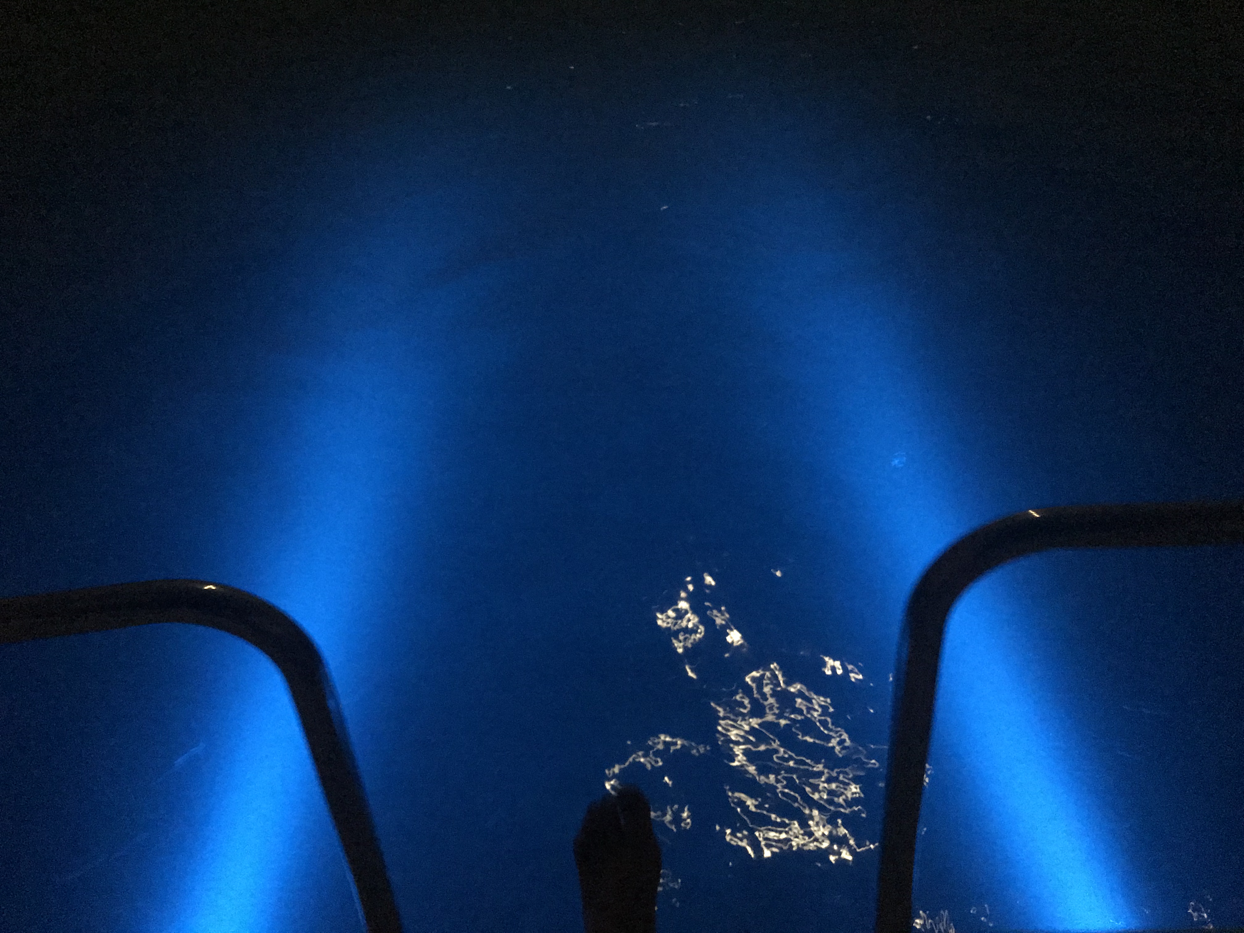
Spending the summer on the docks means lots of nights spent with friends.

Fishing with Friends on B-Dock 
Bon Voyage Party (At least the remnants of it)
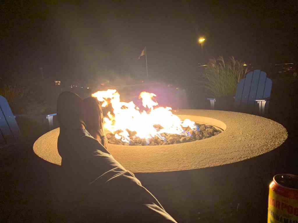
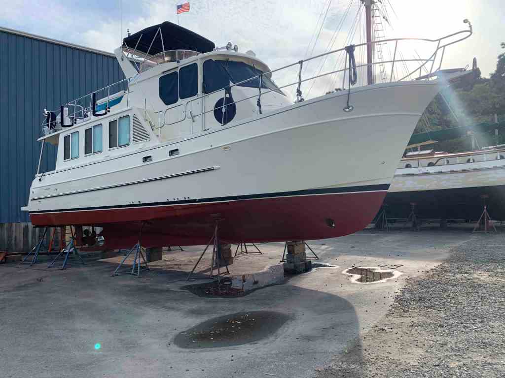
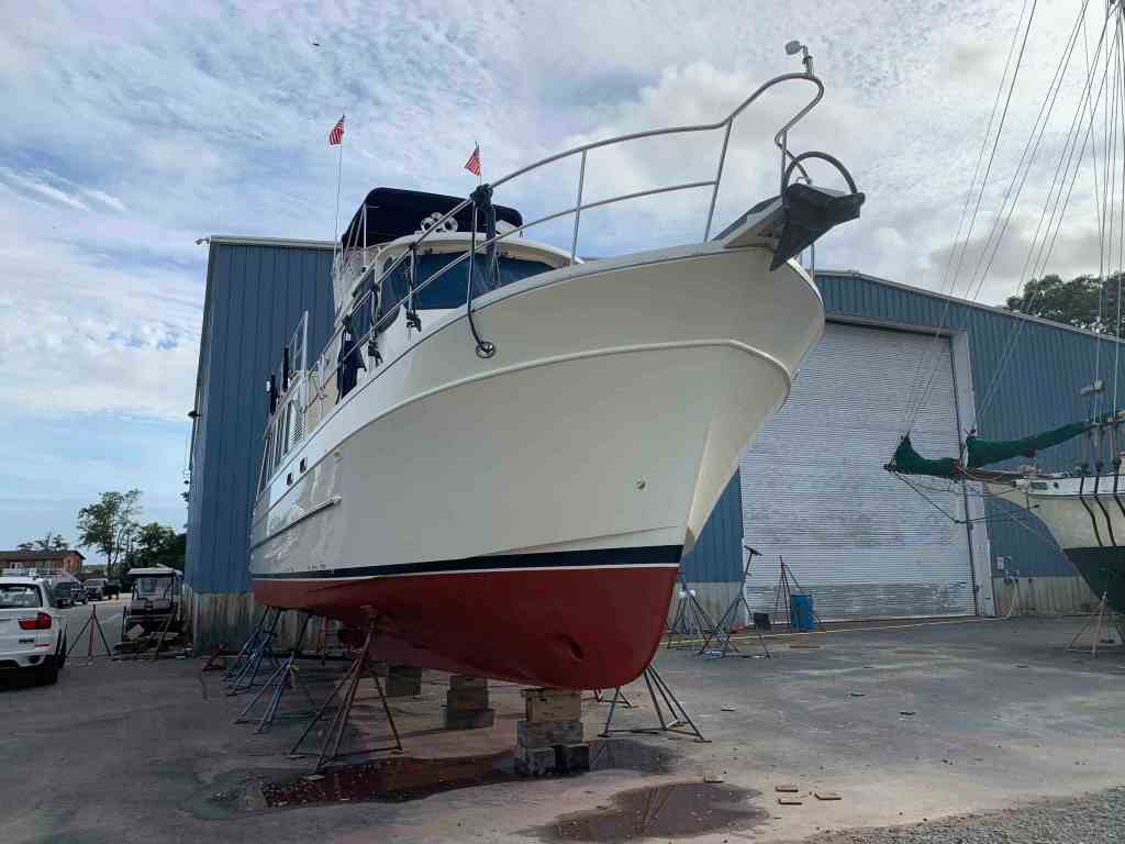
Preparing to spend all winter cruising somewhere warm means having the boat hauled and put on the hard for new bottom paint, zincs, and hull waxing. This year I was managed to get all that done is only 4 long days. Each night after the working long days under the boat, it was time to walk over to the marina fire pit and relax.
There is nothing like a clean bottom.

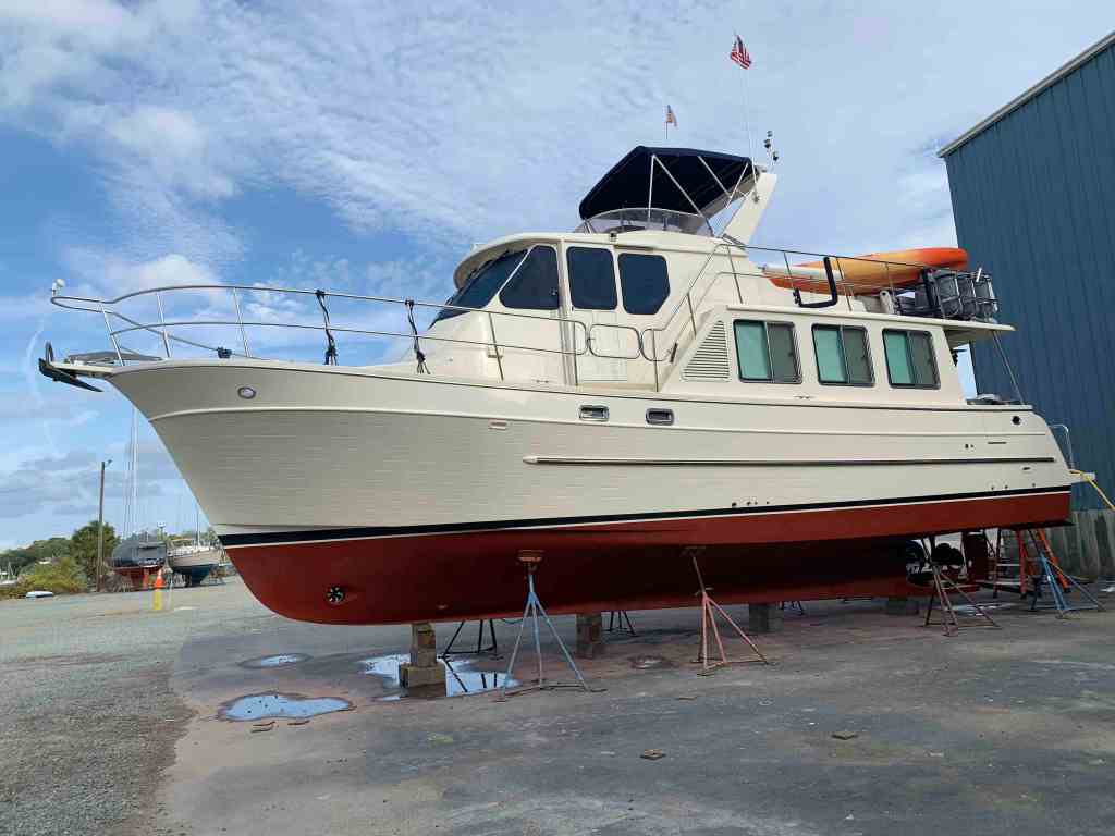

Now it was time to use the marine travel lift and splash her back in the water.
I got back into my slip just in time for a nor’easter that blew three moored boats in my marina ashore.
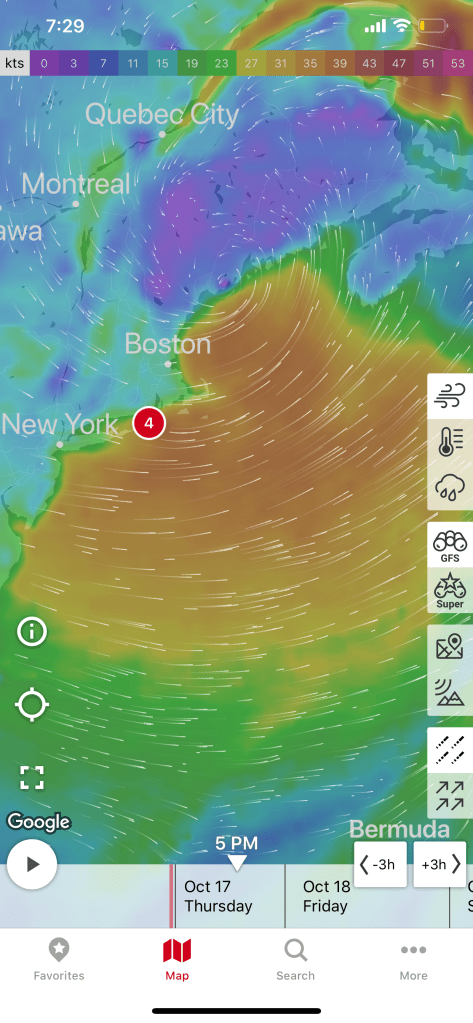
NorEaster 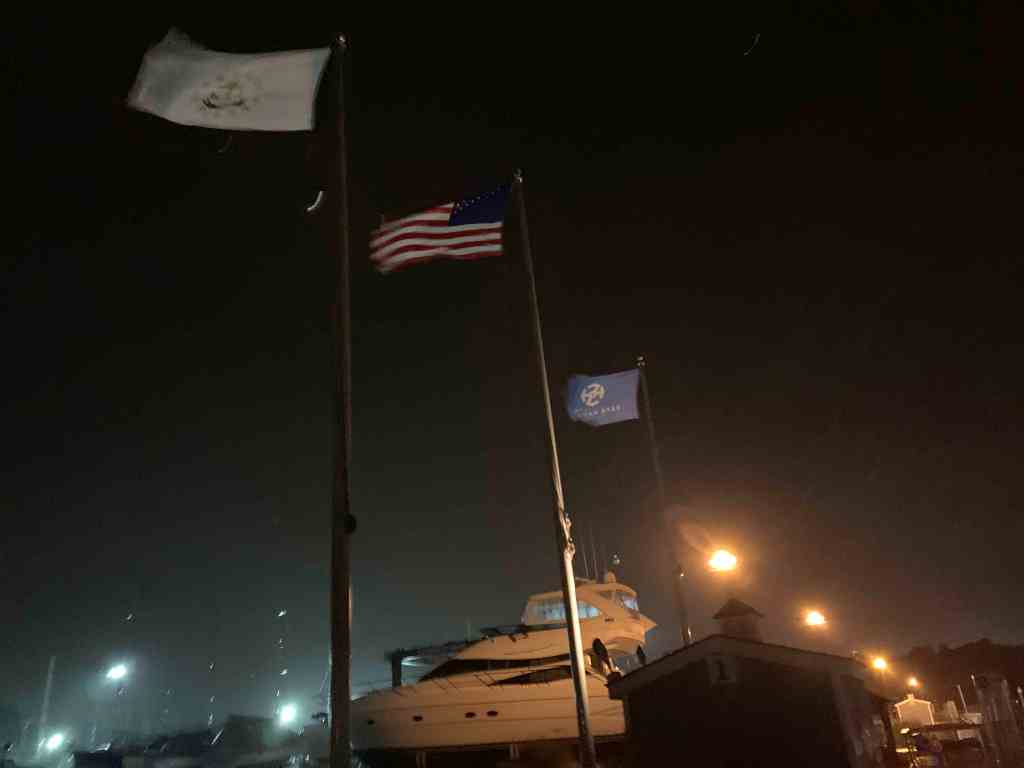
Marina Flags Are Out Straight 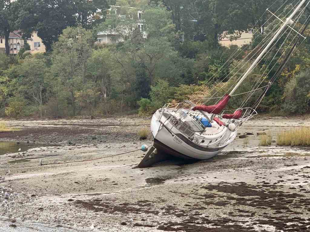
SV Andante Aground 
SV Nepenthe Aground
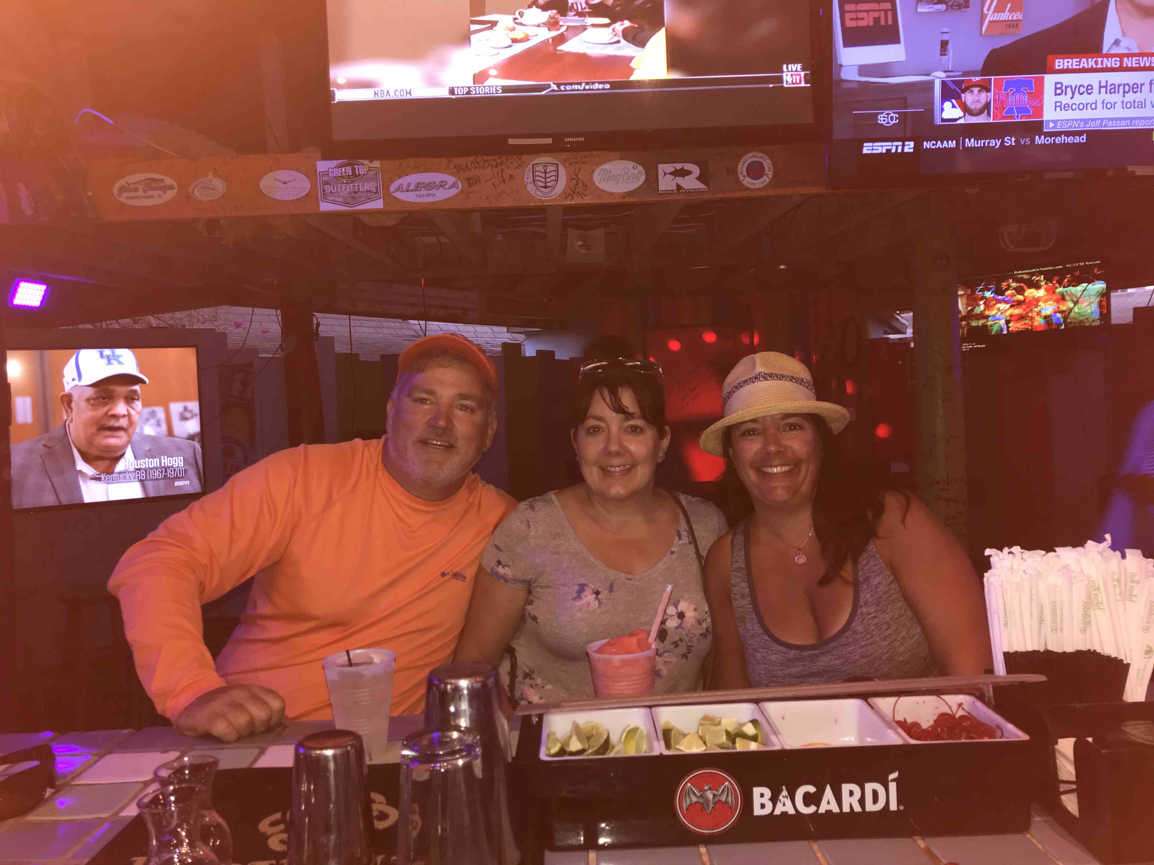
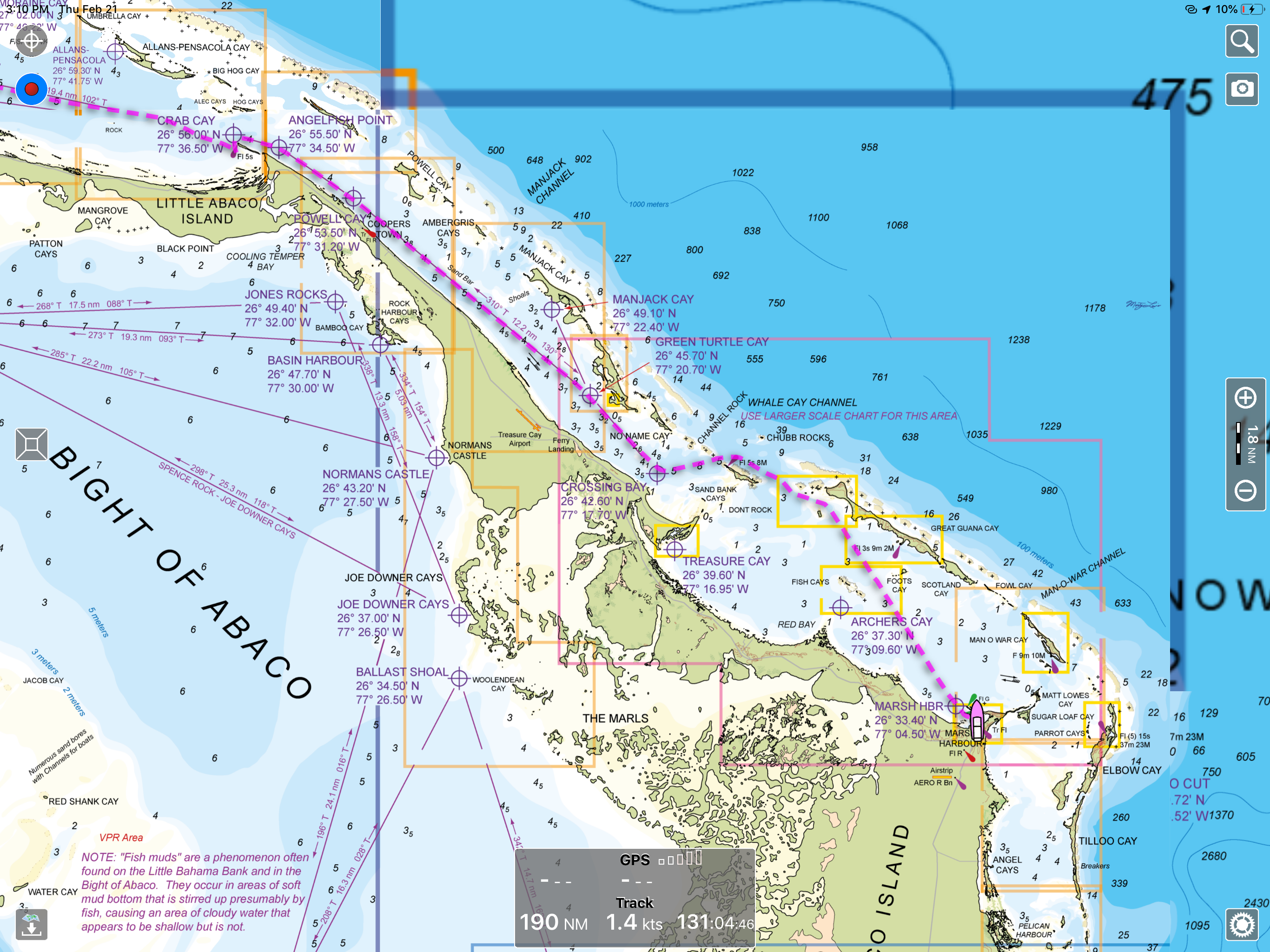
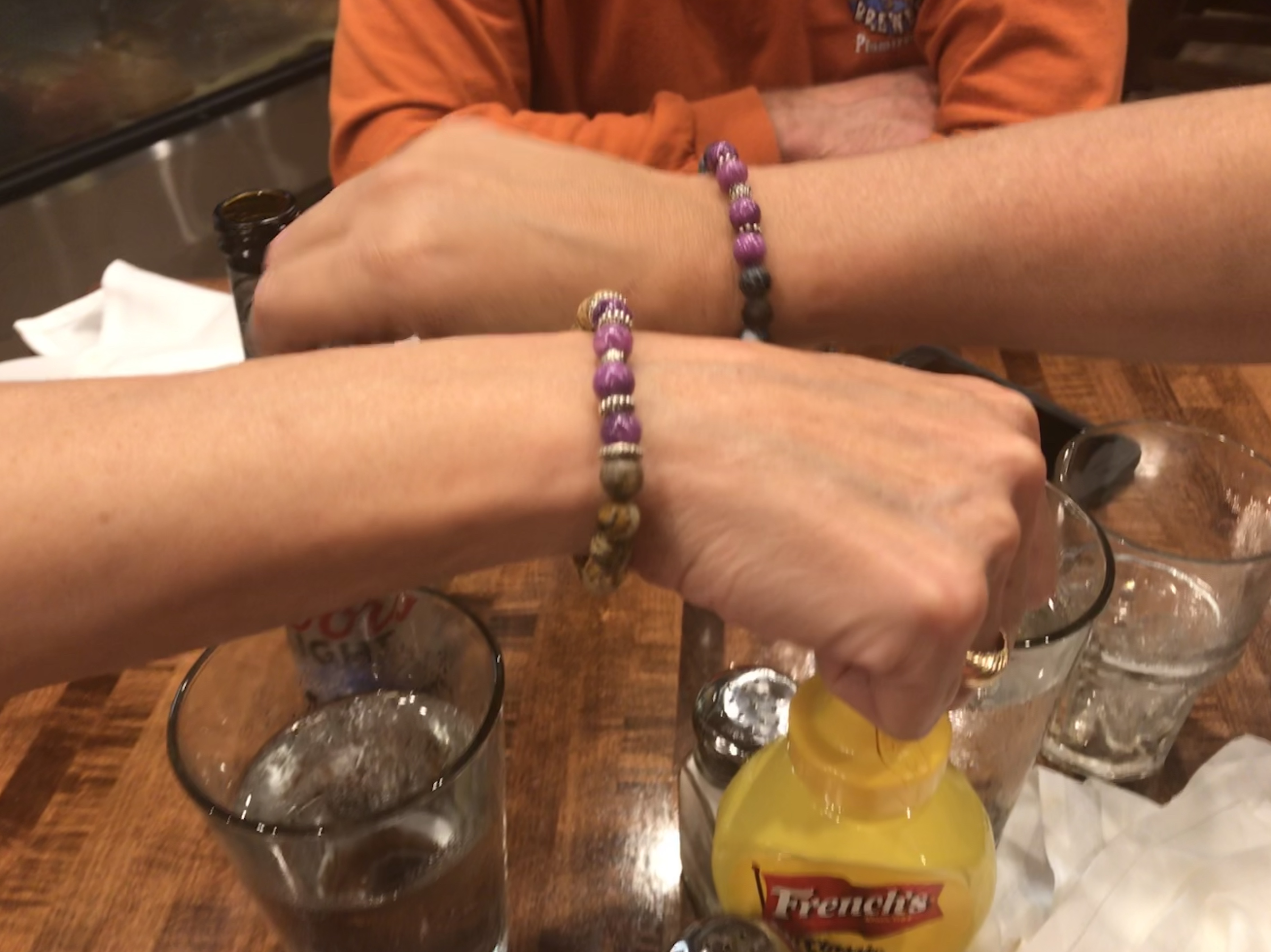
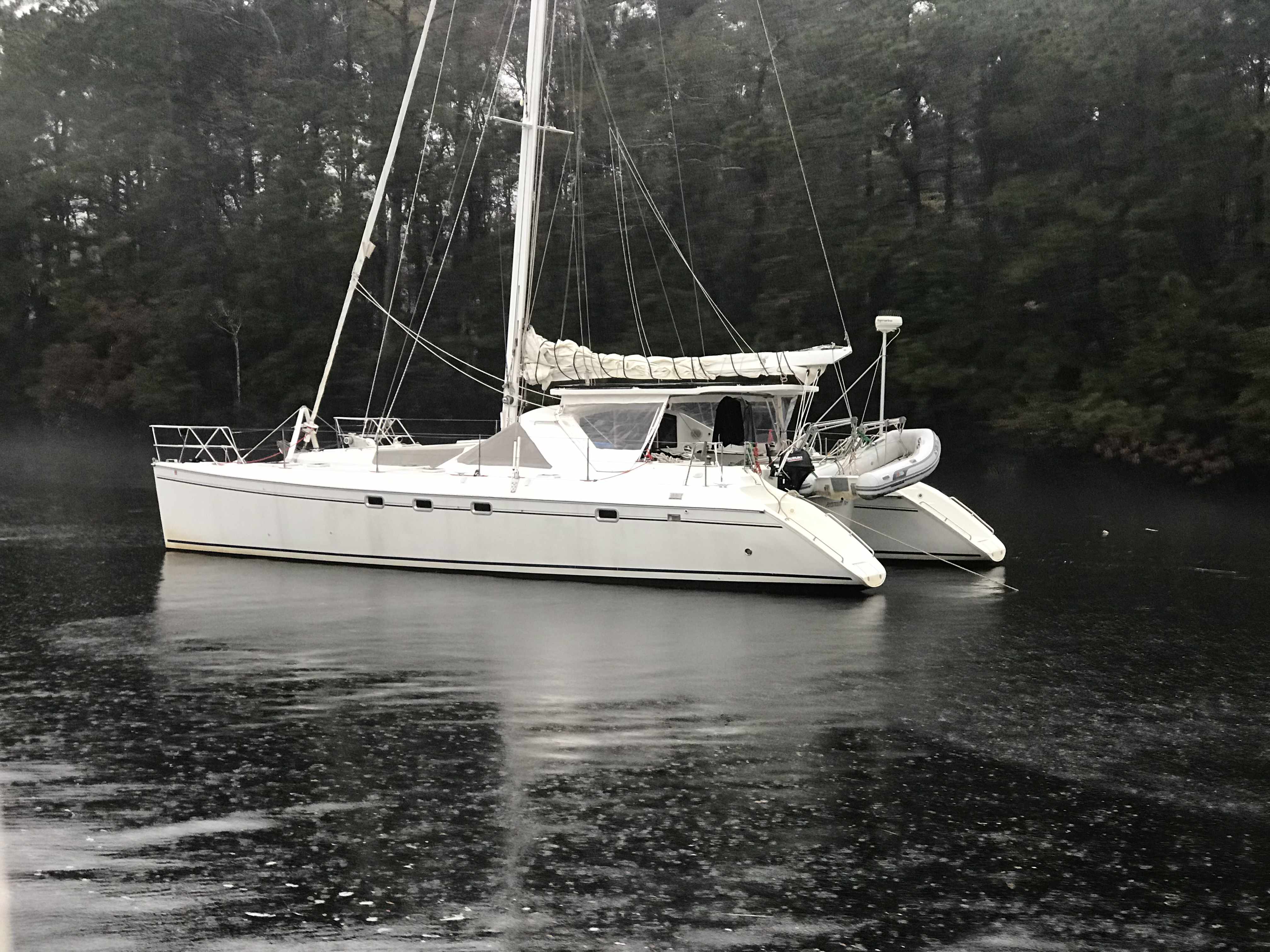
I will start off this winter’s cruise with friends and fellow cruisers, Buddy & Renee. They are long-time sailors and just fun to have aboard. They put their beautiful Tartan 44 on the hard and came aboard but before casting off. … we set out to celebrate!

SV Star Watch 
Thai Excursions in Warwick, RI 
McKinley’s Pub in East Greenwich, RI
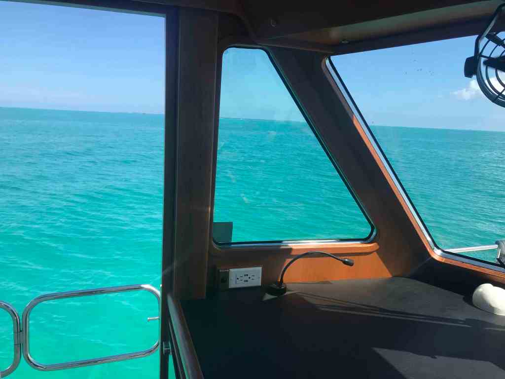
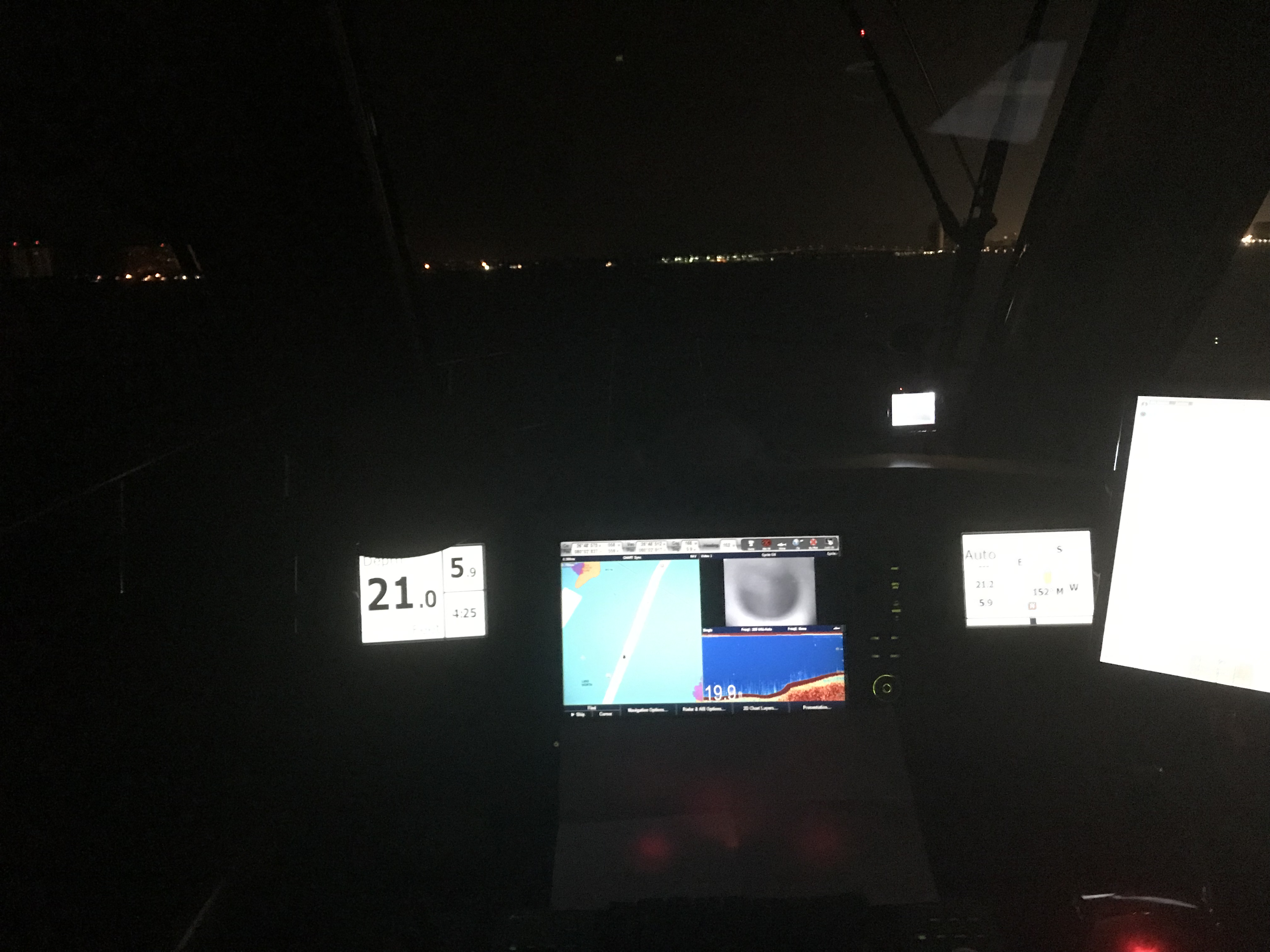
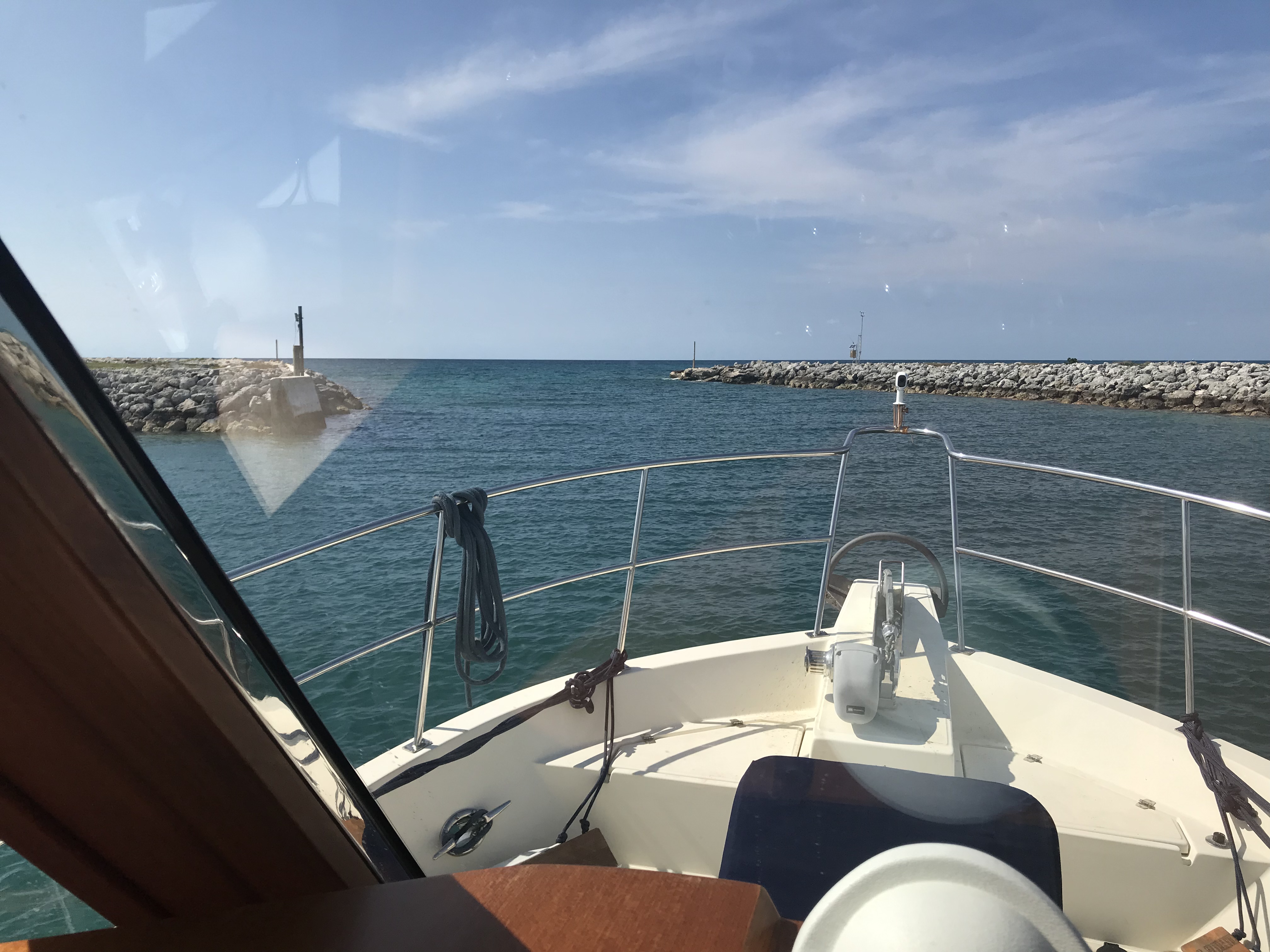
Now the time has come to cast off the lines so stay tuned for the next post detailing the first leg of our odyssey.


You must be logged in to post a comment.