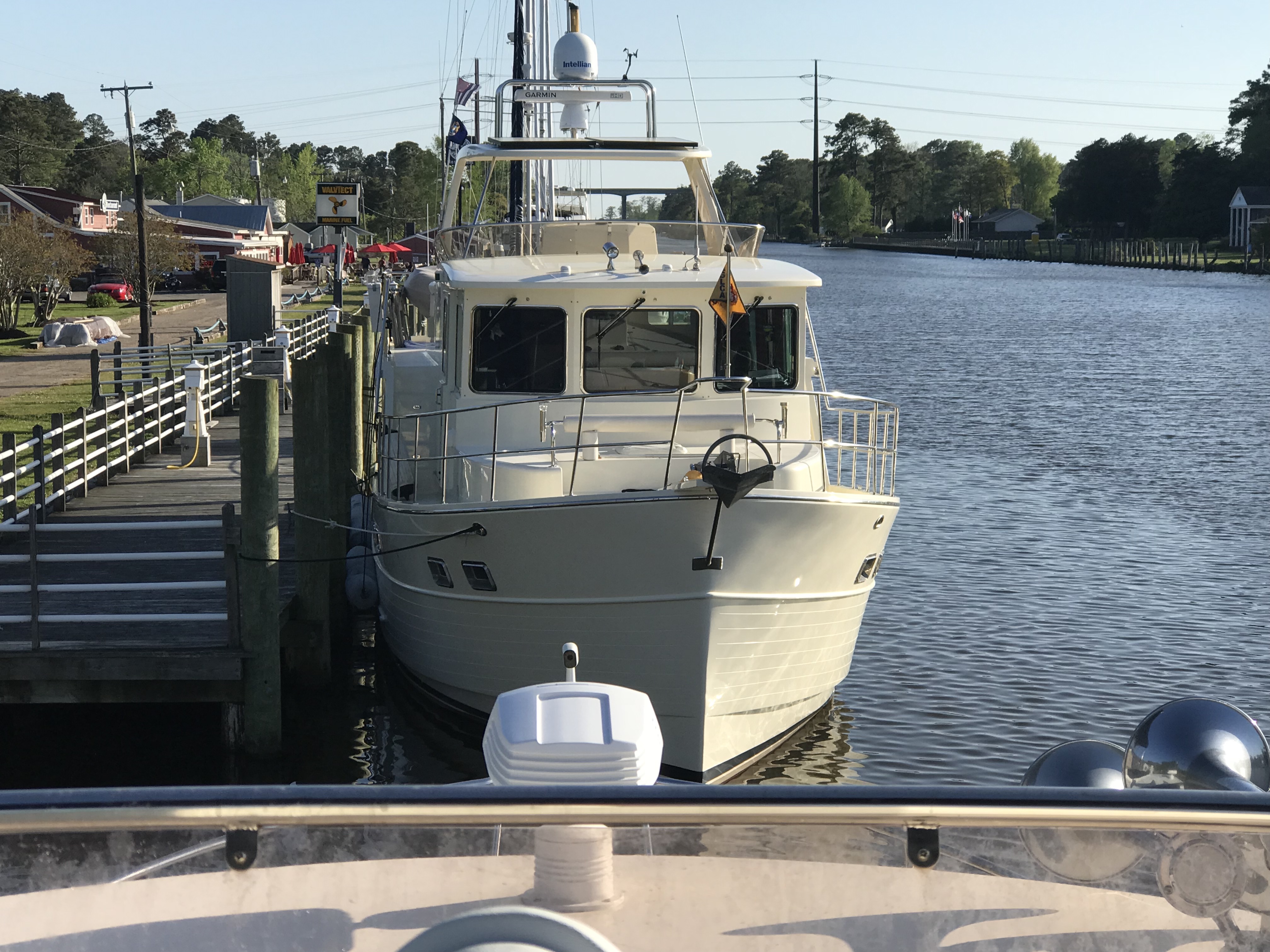
We departed Port Washington and perfectly timed our arrival to the east end of the East River. We had a fair current giving us a strong push on our stern all the way through the East River and into NYC Harbor.
East River
Once in the East River you come upon Laguardia airport and Rikers Island.

Rikers Island from East River 
Rikers Guard 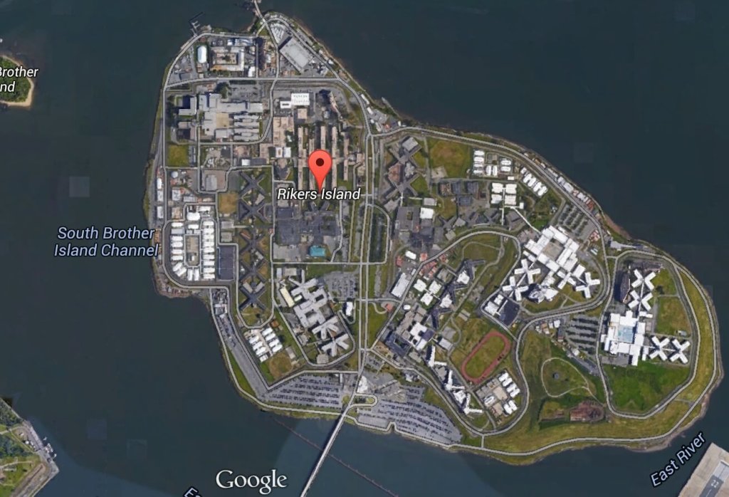
Rikers Island 
Entering Rikers 
Inmate
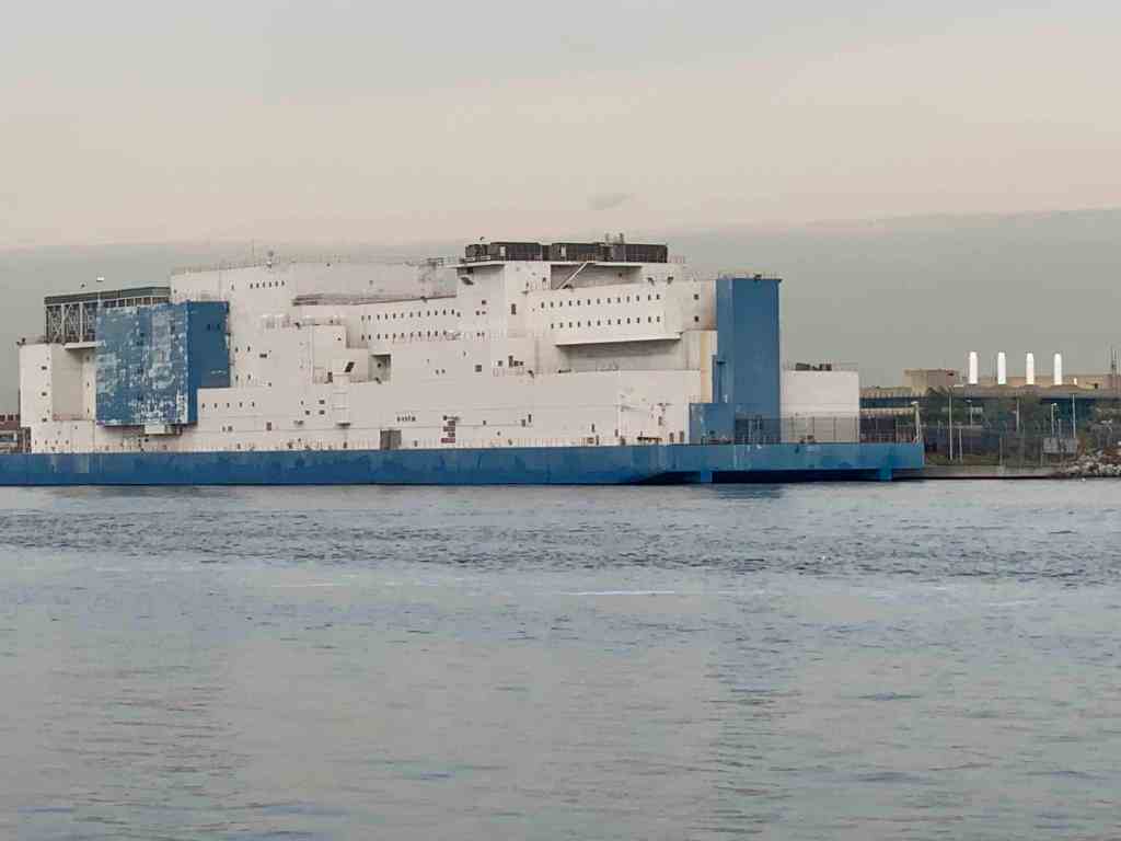
Just past Rikers Island you’ll find the “The Boat” or as it’s more formally known, the Vernon C. Bain Correctional Center.
A wee bit further down the East River and you come to an infamous location known as Hell’s Gate. This is where the Harlem River dumps into the East River. Our planning placed us here at max ebb current because it’s a great feeling being pushed in such a strong current.
Buddy was at the helm calmly making helm corrections as quickly as possible to keep the pointy end of the boat pointing in the right direction.

Roosevelt Island was off to port.

Roosevelt Island on Port Side 
Roosevelt Island Drone View
Past Roosevelt Island it can feel like a war zone as helicopters and water-taxis buzz all around you.
NYC Harbor
At this point you are nearing The Battery or the southern tip of Manhattan. The skyline looms above you.

Next up is Ellis and Liberty Island and that famous tall green lady of liberty.

The famous Staten Island Ferry wizzed past us.

Weather Changes Plans in NYC
We had planned on spending a couple days in NYC harbor and visiting Manhattan but our weather heading down the NJ coast looked great for the next 38 hours. We had a quick discussion at the helm and decided that we would go offshore. Stopping in NYC would have meant being trapped for the foreseeable forecast.

Sunday 4-6′ Seas 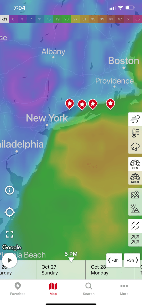
Need to be South of NYC by Sunday
Offshore Voyage to Norfolk, VA
Going offshore to Norfolk would require a helm watch schedule. We like to call it a port & starboard watch meaning that there would be two teams. Team 1 = Buddy & Renee. Team 2 = Marty. When you’re on “helm watch” the other team is relieved of any responsibilities other than to rest up for when your watch starts.
Night watches means keeping an eye out the pilothouse windows for any lights. The moons phase was only a sliver of a crescent and it did not rise till 4AM. We chose a route between 2-3 NM off the coast and that allowed us to see the twinkling lights of shore as we made way south.
For those uninitiated in night watches you will have to become comfortable with staring intently at your radar screen while you push into the blackness. Looking forward out the pilothouse windows all you see is black and the few instrument lights that reflect off the inside of the glass. You’ll need to determine if any of those red, green or white lights are coming from a boat or a buoy. If the light blinks, it’s a buoy. If it’s solid, it’s a boat.
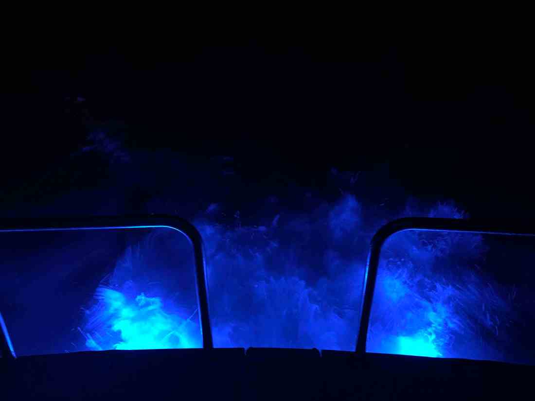
One night I come off watch and lit the underwater lights so I could stand on the stern as the propeller wash boils up from below as the lights of shore pass.
Here is a short video of a boat passing on our starboard side. You can clearly see the other vessel’s red-portside-light as well as it’s white-steaming light. When I zoom in the camera was able to pickup the white water wake in their stern light.
When I left my home port in Warwick, RI, a few fellow boaters, friends were also making the trip south for the winter. MV Ship Happens, a large sport-fishing boat, was heading south and we had been communicating thinking we’d cross paths eventually. I received a photo via text from Capt. Dan and to my surprise it was of MV Simple Life as they zoomed past us. Although MV Ship Happens left port days after us, she has a much faster cruise and eventually overtook us.

During the day we were graced with the presence of whales. I captured a short video of a whale coming to the surface off our starboard side.
While we were off the coast, our VHF crackled to life with the USCG issuing a securite broadcast about an overdue 43′ Benneteau sailing vessel out of Jamestown, RI called the “Carol K”. They had left before us and were somewhere along the coast with us. We attempted to hail the Carol K but got no response. We hoped that they would be found safe and several days later they were found 100 miles of Cape Henry, VA.

Captain & Crew 
Louis the Frenchie 
Carol K
As we approached Cape Charles in Virginia we thought it best to tuck under the Chesapeake Bay Bridge-Tunnel and find a quick place to anchor for the night.

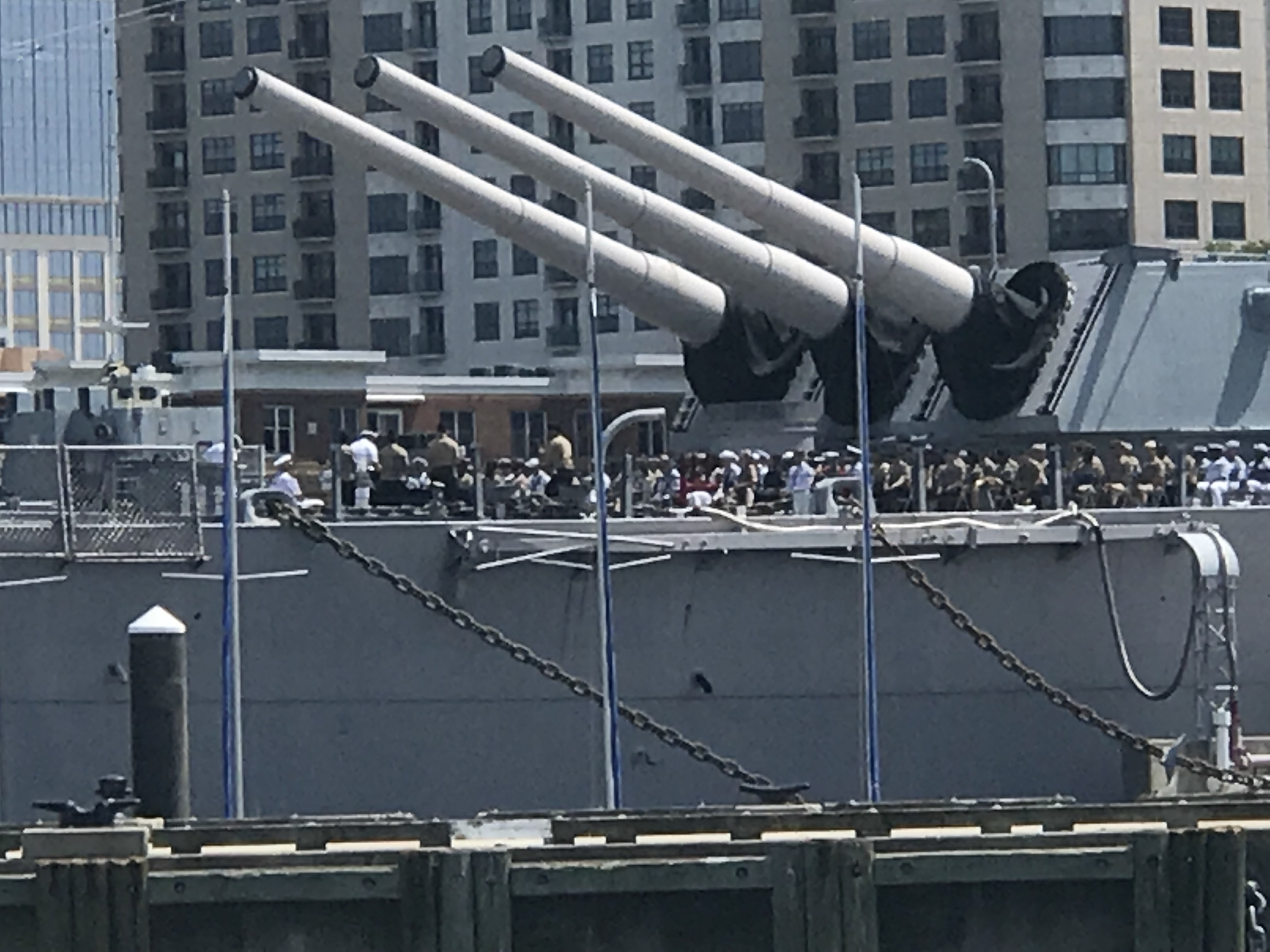
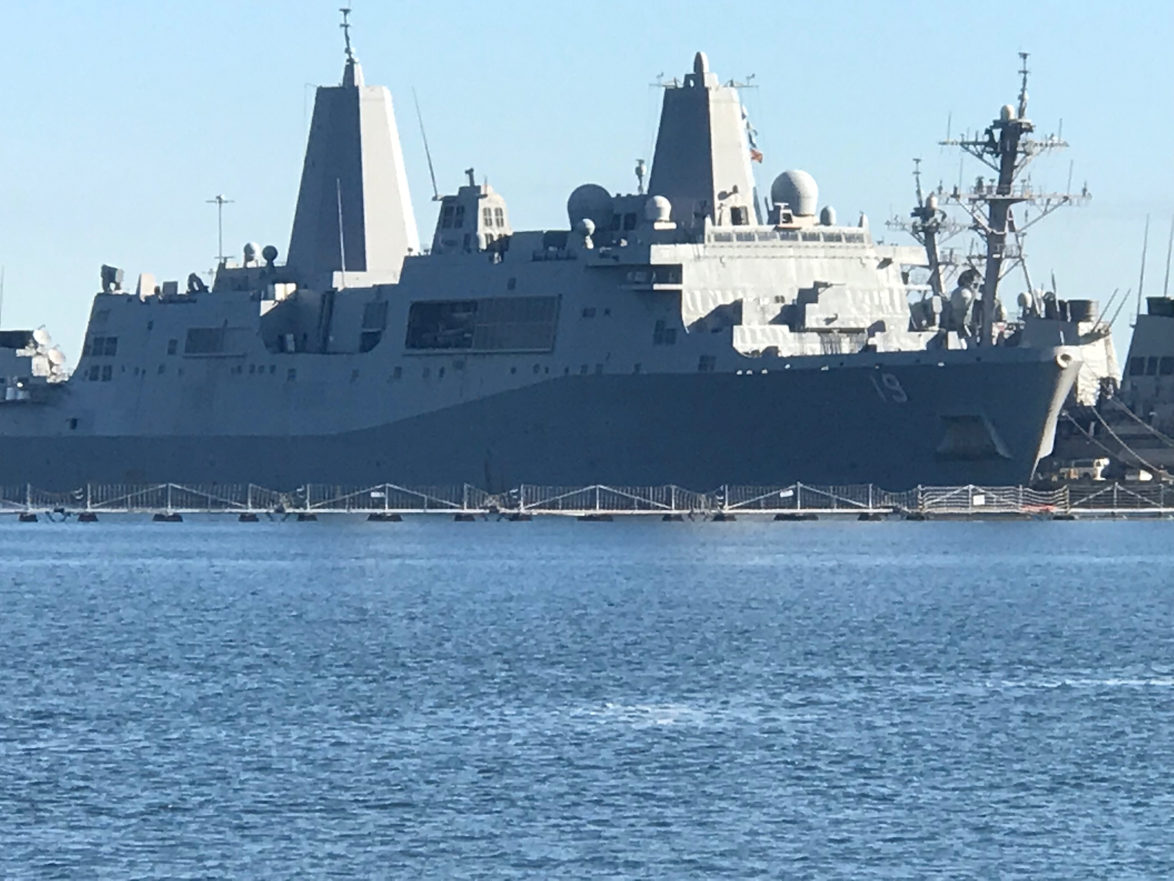
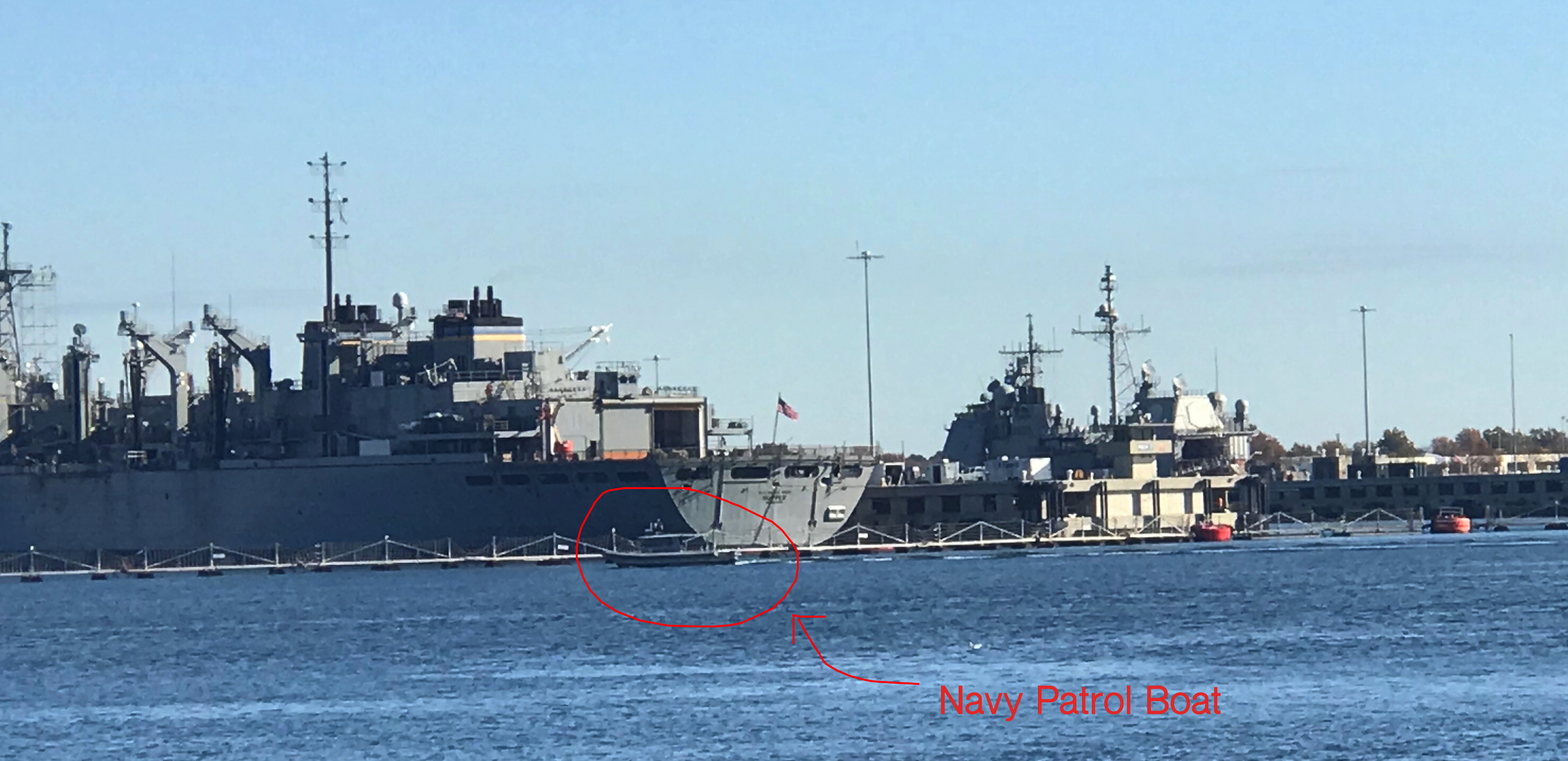
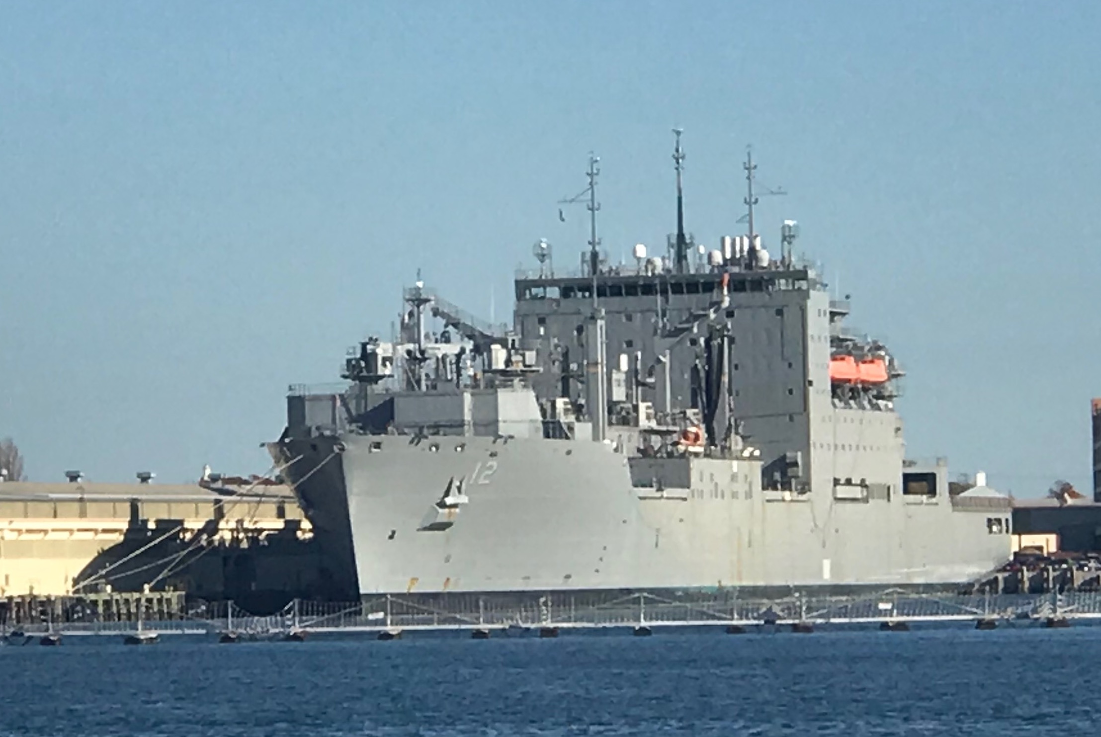
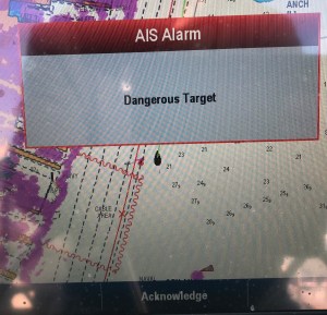
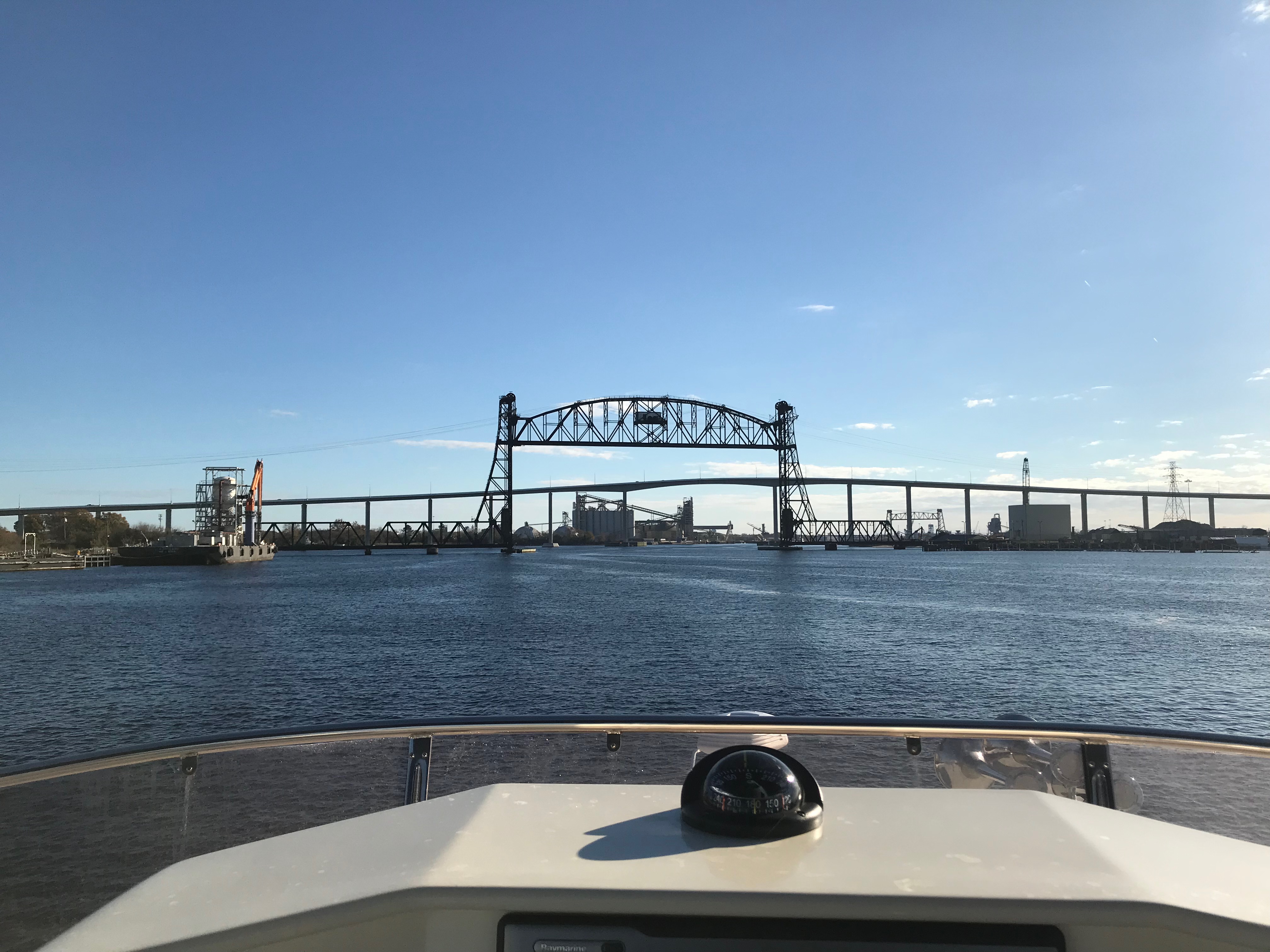
The trip down the busy channel into Norfolk, VA is best done in the daylight. I could tell you a story about nearly getting run over by a warship a few years back but that story is best told over a few beers. 😉
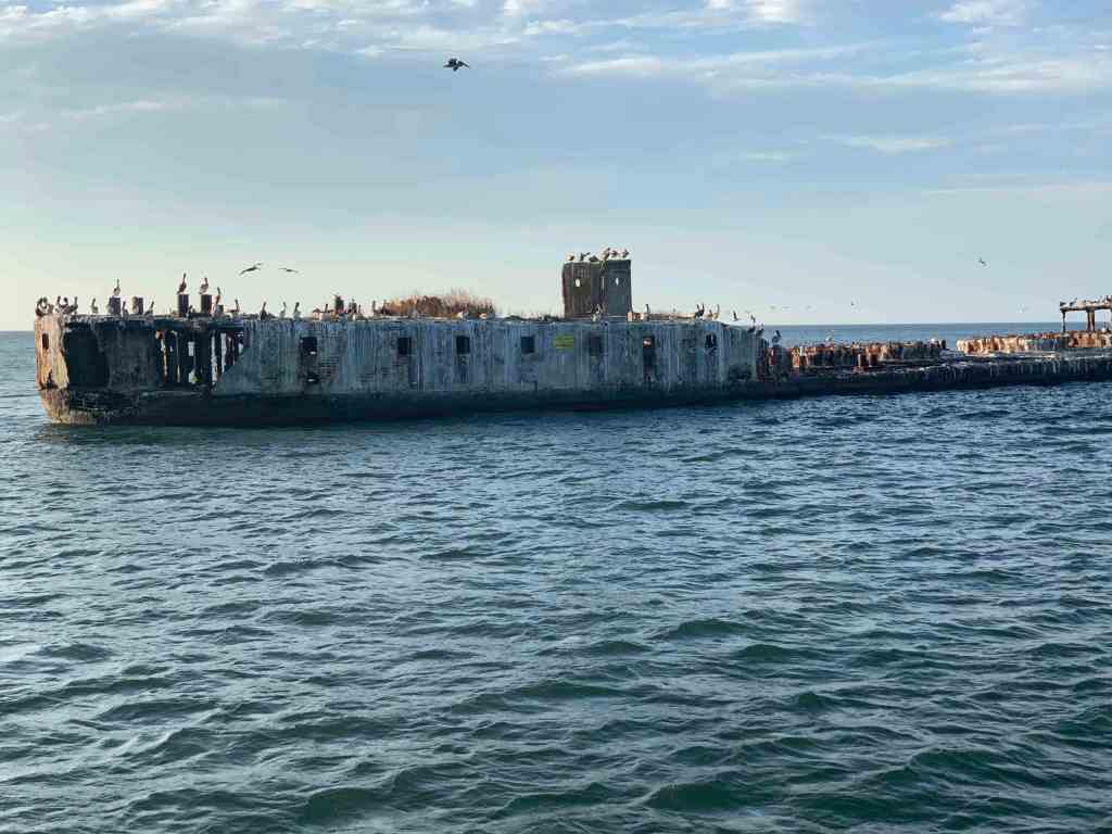
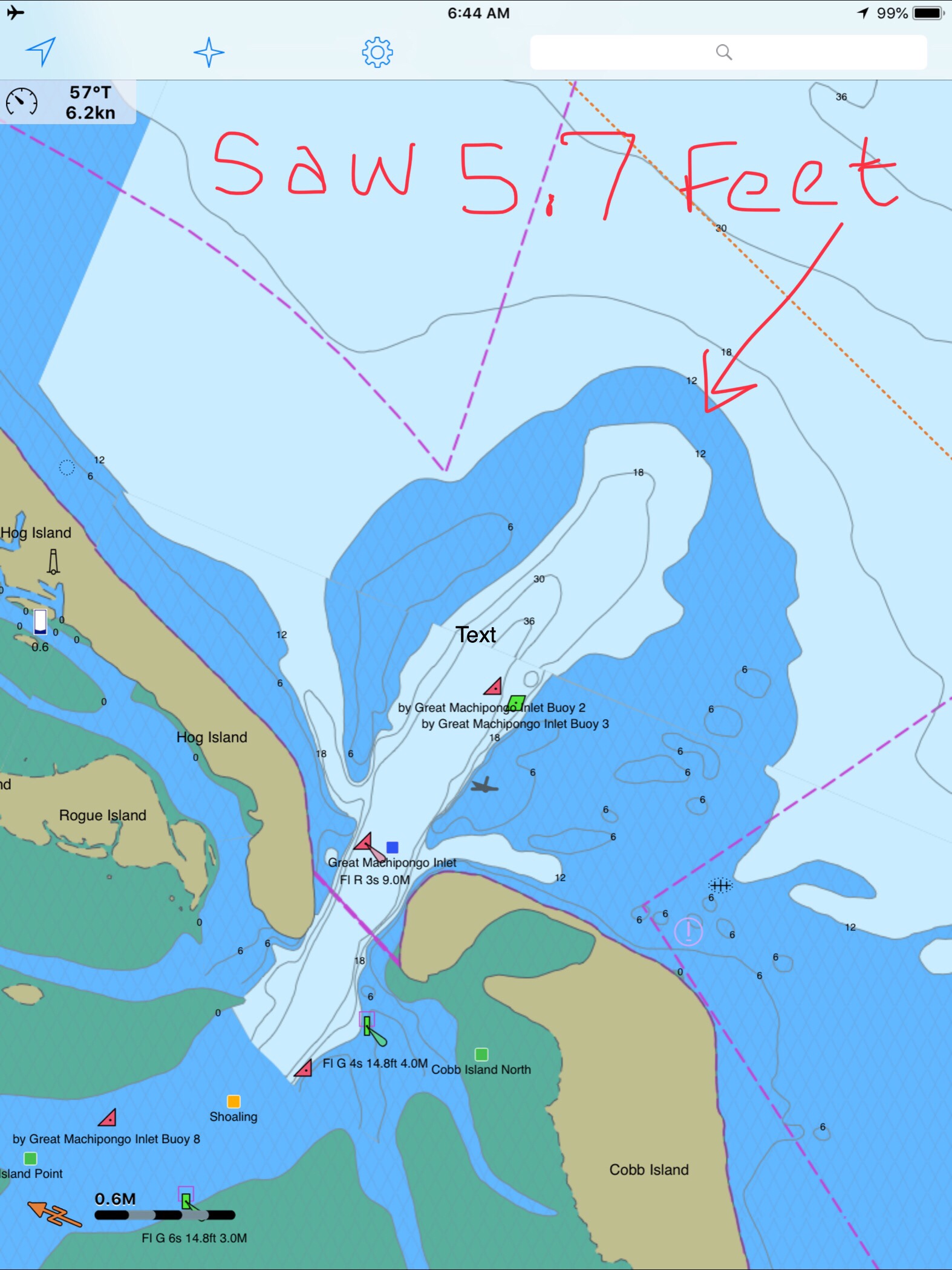
We searched our Aqua Maps charting app for an Active Captain anchorage and found one called “Concrete Ships”. The wind was out of the east but the forecast predicted the wind would clock around to the south and strengthen. This particular anchorage offered the best lee from the wind within the distance we were willing to travel.
My website/blog has a button that you can click to see the real-time location of MV Simple Life. Here are some pics of that my Garmin InReach Satellite communications device makes available to you.
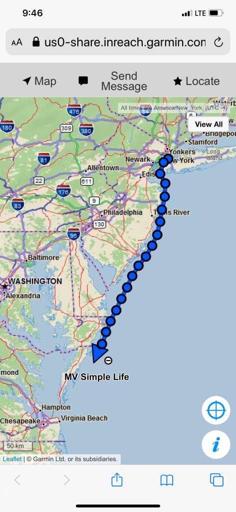
Working our way down the East Coast 
Arriving at the Concrete Ships Anchorage
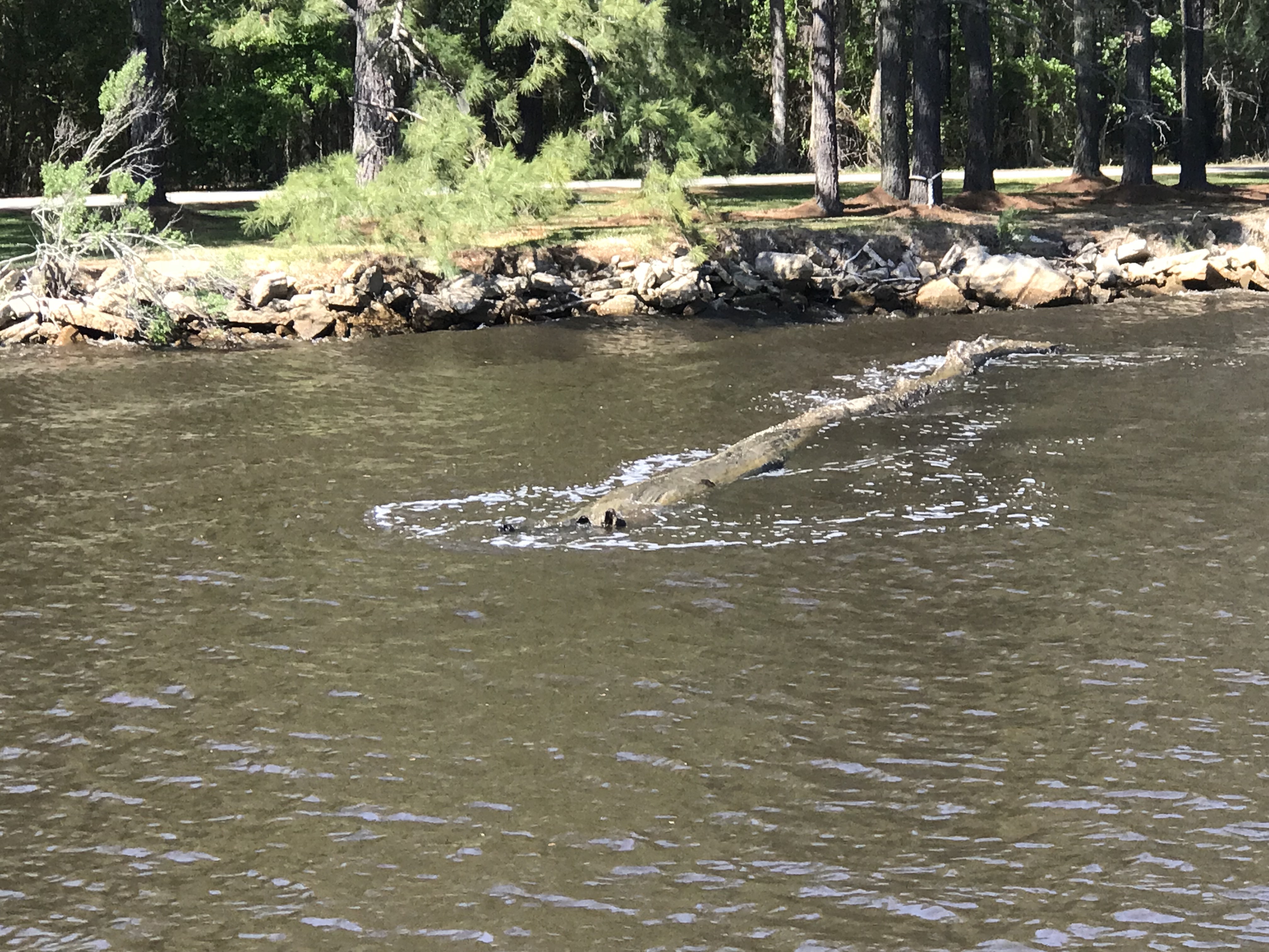
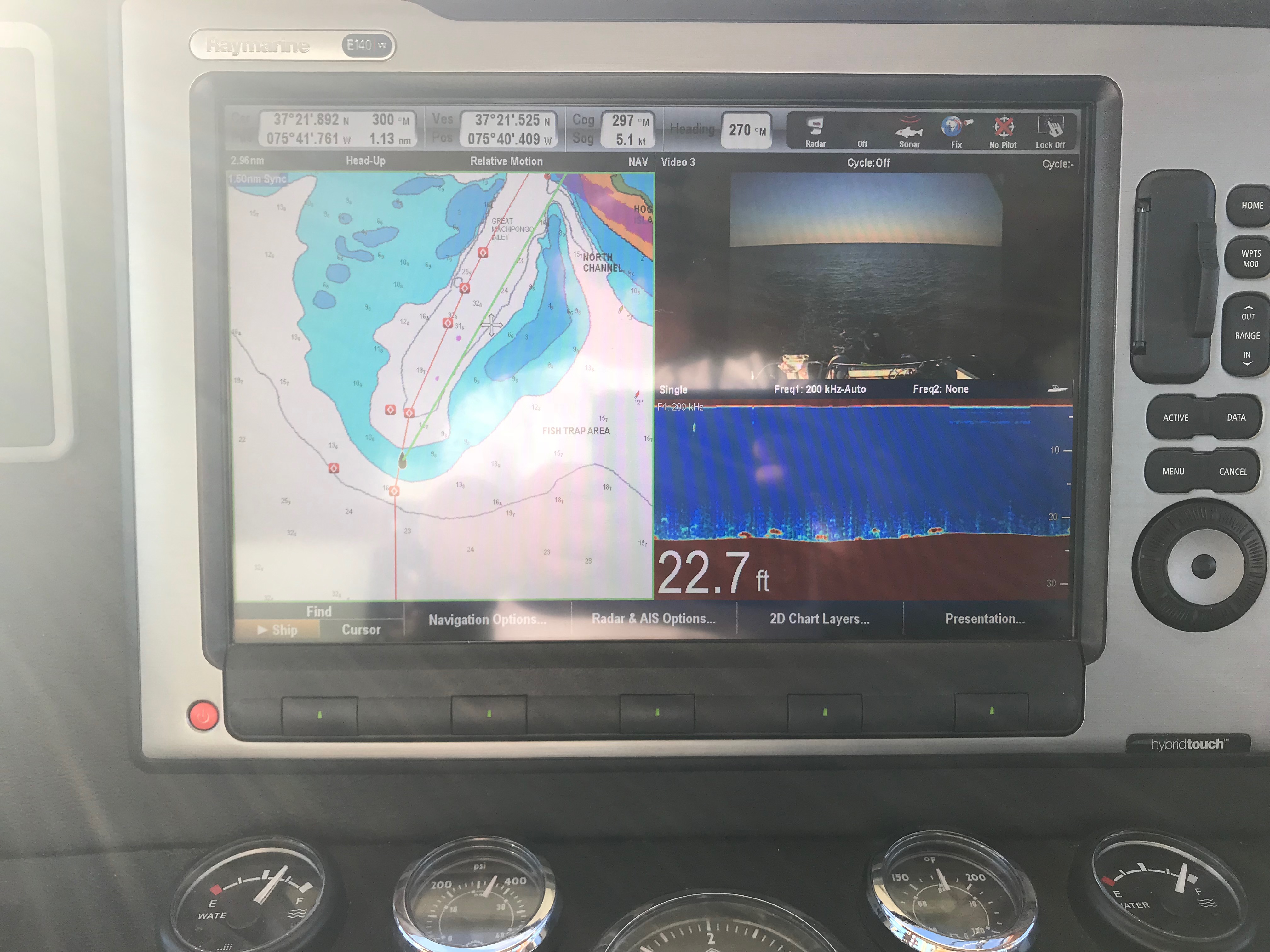
Days past, I have made the trip south from Cape May, NJ to Norfolk, VA by going outside along the coast before. Those times, I had chosen to anchor nightly along the coast. There are few decent anchorages along this stretch of coast. One anchorage I have used before was inside the Great Machipongo Inlet. I recall how tricky getting through the shifting shoals dotting the inlet was. As we passed, I could not help but notice that the latest update of the NOAA charts shows a similar sized vessel to MV Simple Life wrecked on those same shoals. (Me thinks…) I’m happy I bailed on my inlet entry that stormy night.

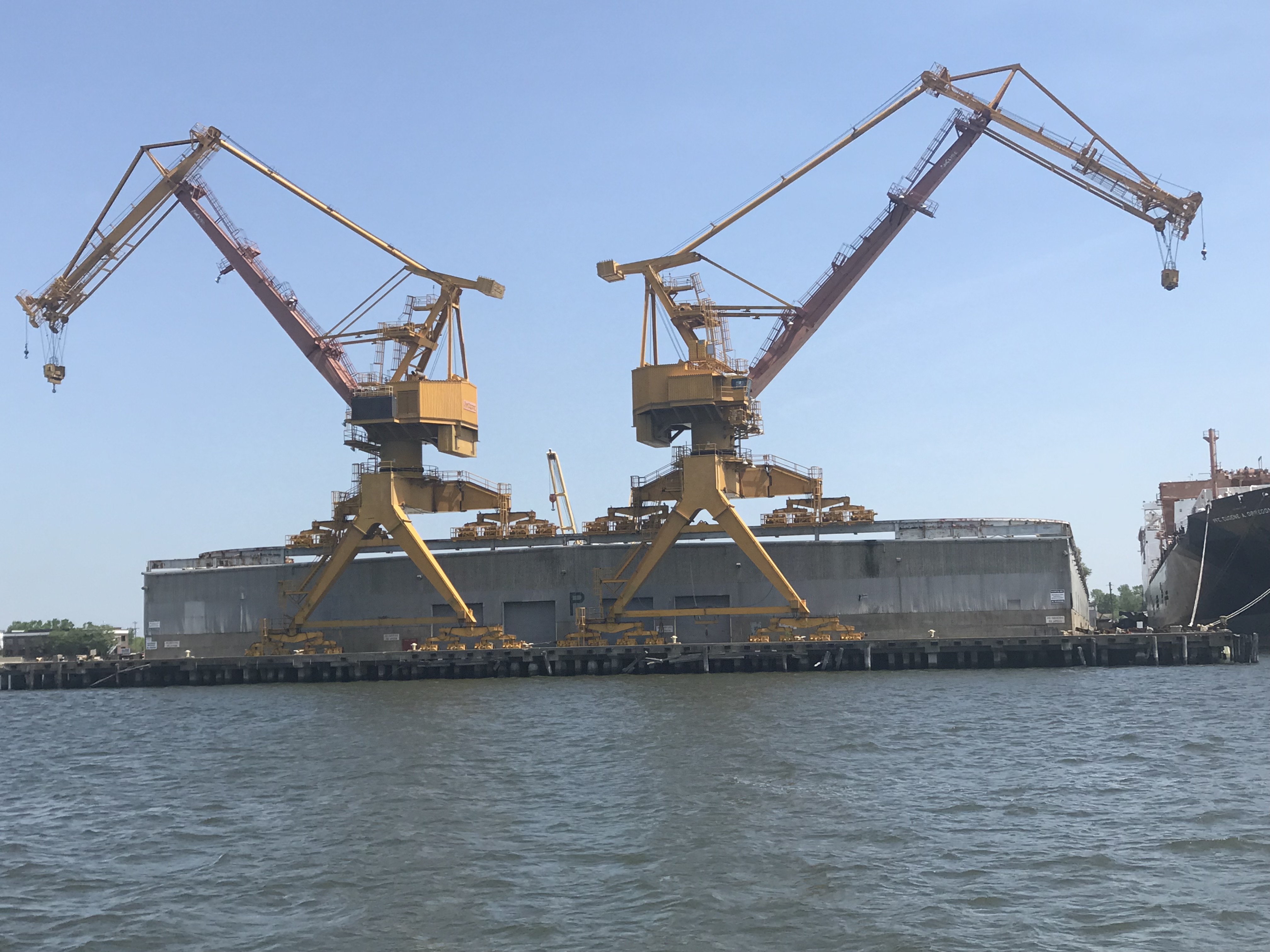
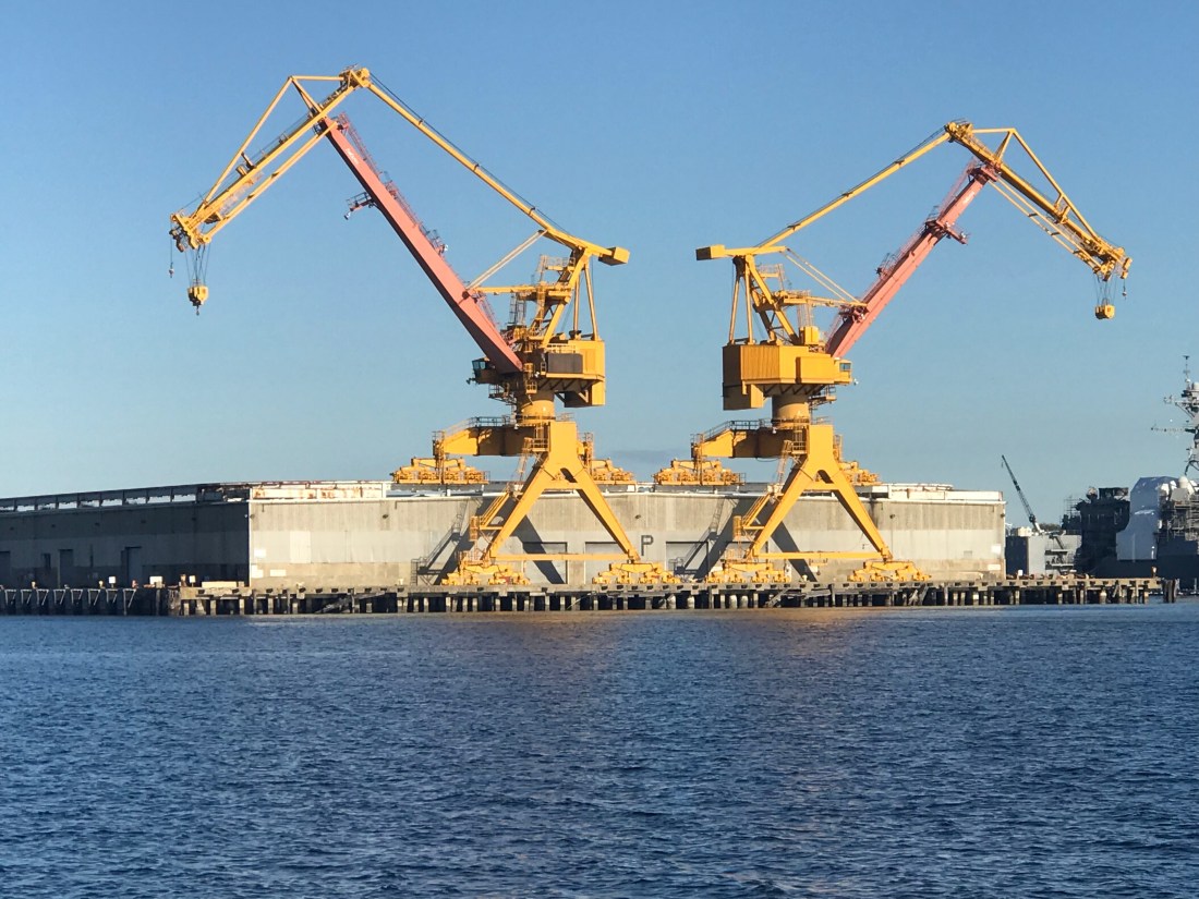
Ghost Ships
When it comes to ship building there are many hull materials to select from. One such material/method is ferrocement construction. It’s a cheap way to build a hull/boat but has fallen out of favor with the advent of materials such as FRP (Fiberglass Reinforced Plastic).
We had arrived at our anchorage with plenty daylight left. We shot some video and snapped a few pics of the ships as we arrived.
Standing on the bow at night in the breeze we were flanked by ghost ships with their ghostly pale white shapes faintly materializing though the inky black of night.


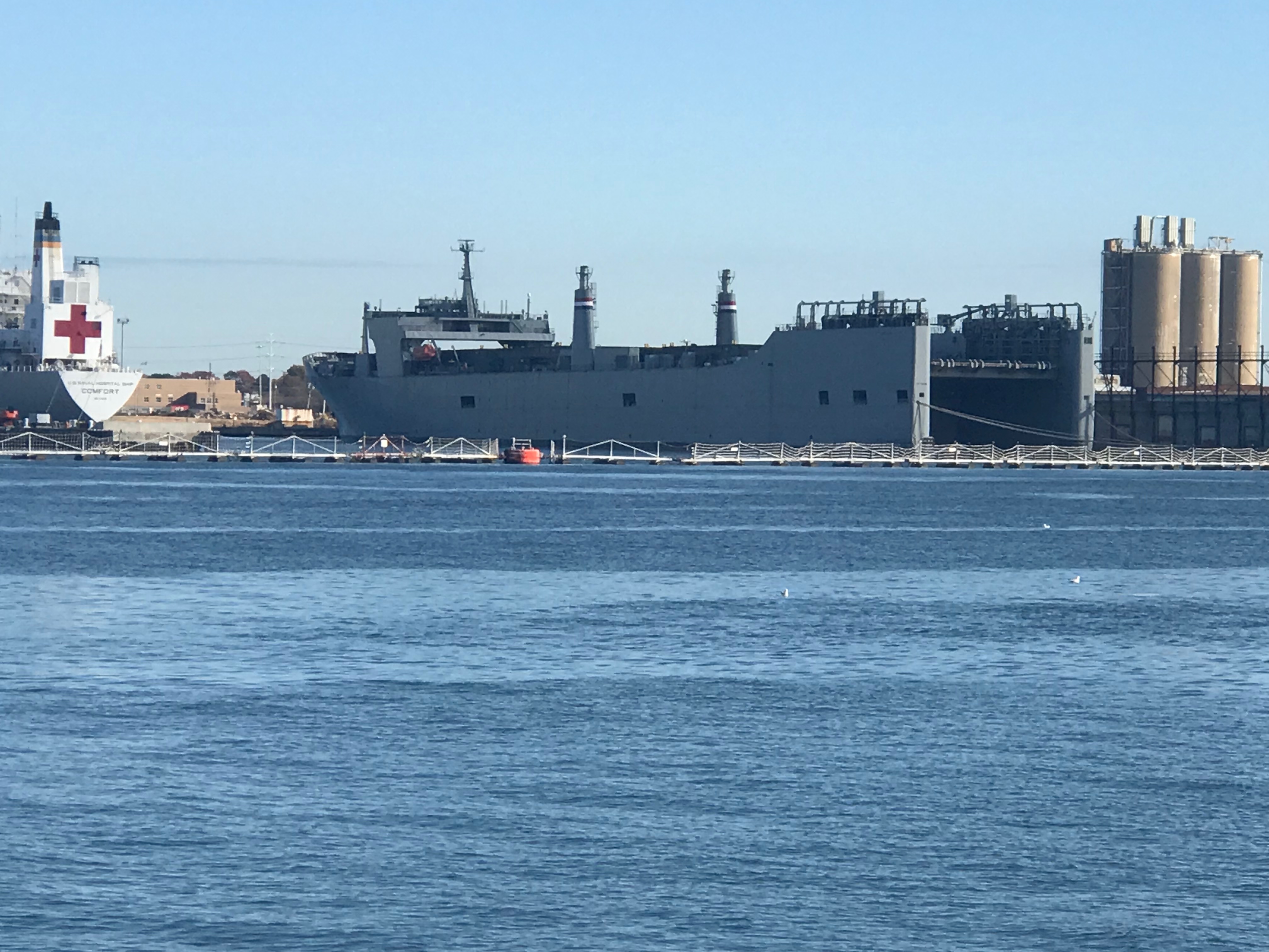
Next up Norfolk Navy Yard …


You must be logged in to post a comment.