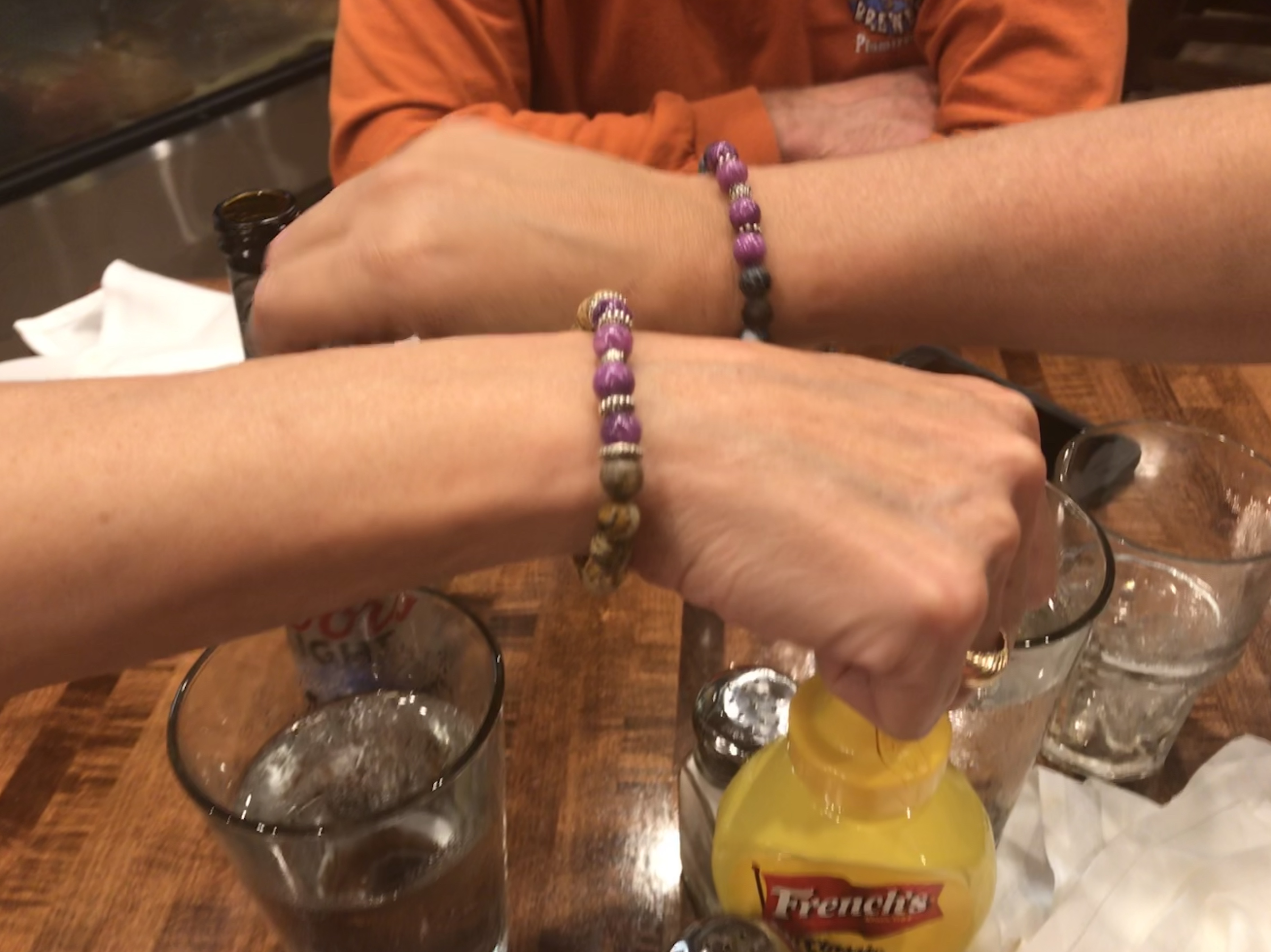
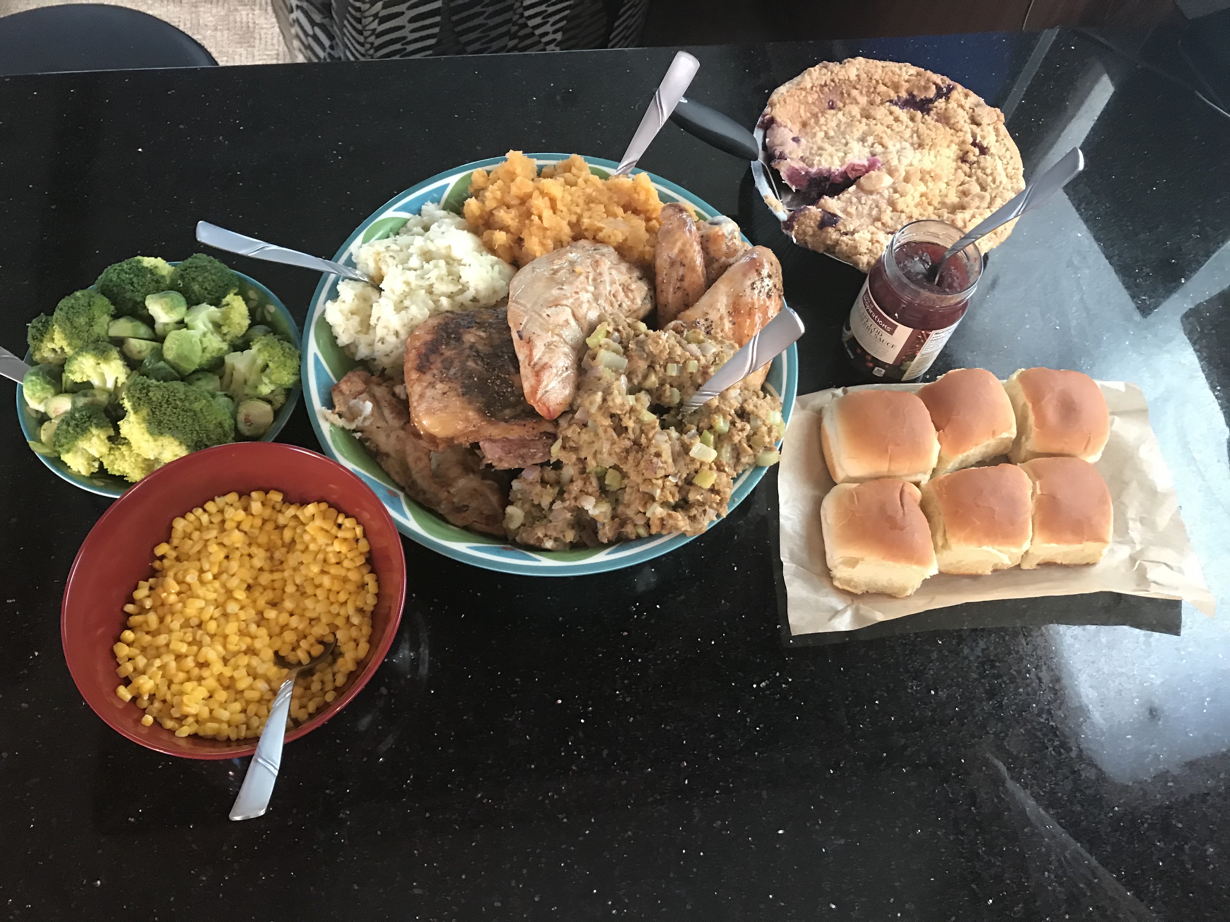
We had spent a fun two nights at St. James Marina with friends. Kelly & Wende got to compare charity bracelets made by their niece, Michaela over drinks.
While we were at the dock I watched a sailboat snap a piling off. I felt bad for the captain as there was some mis-communication that had the sailboat backing out of a fairway in the marina and then incorrectly tying up to a T-dock that was reserved for a similar sized sailboat that had just entered the marina’s entrance. The captain quickly untied from the T-dock and attempted to back up but while he must have thought he had shifted from reverse into neutral, was clearly still accelerating in reverse. He hit the piling and snapped it off without putting a single scratch in his boat. I don’t know what the manufacturer of this sailboat is but that’s a solid boat.
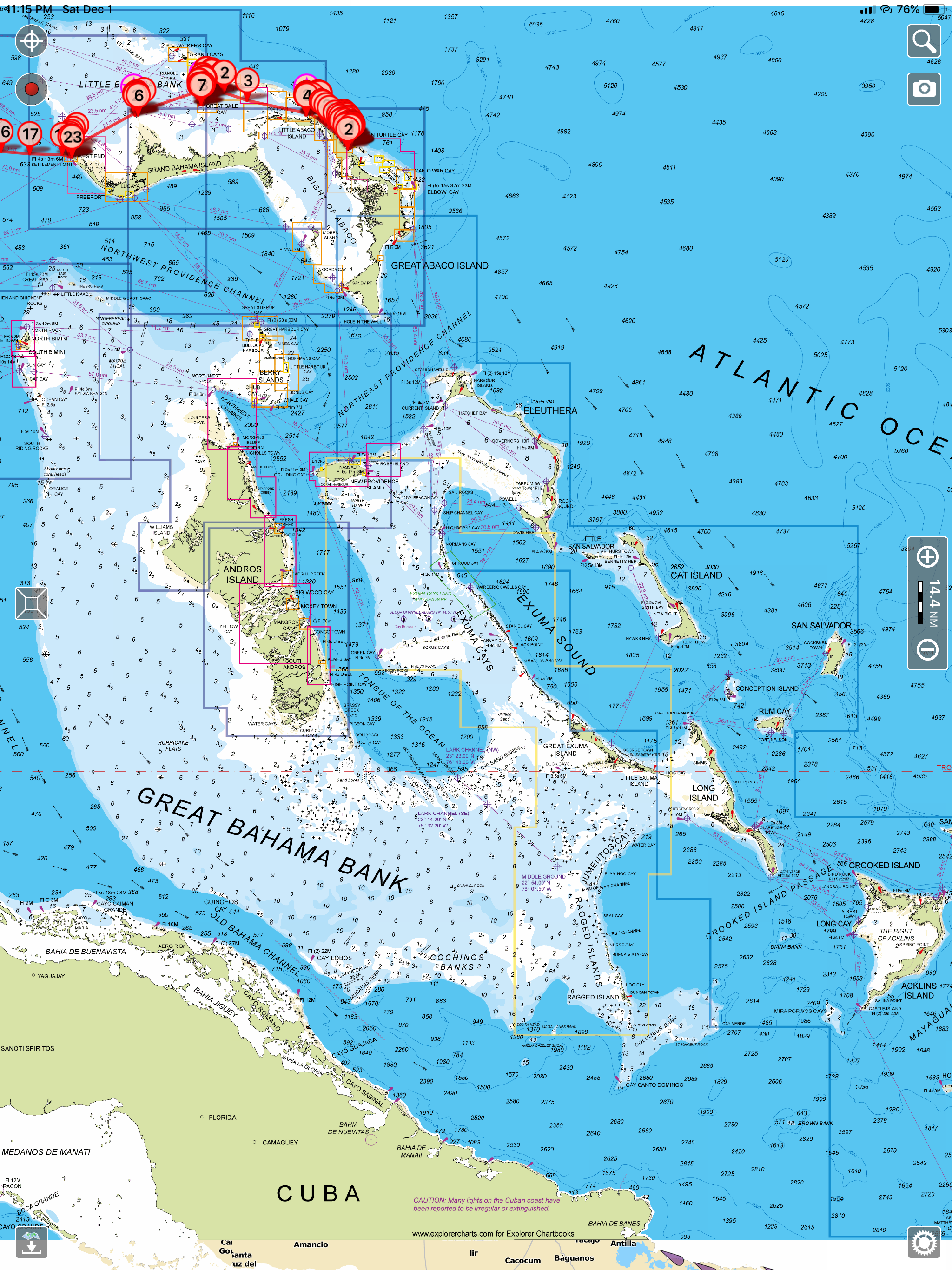
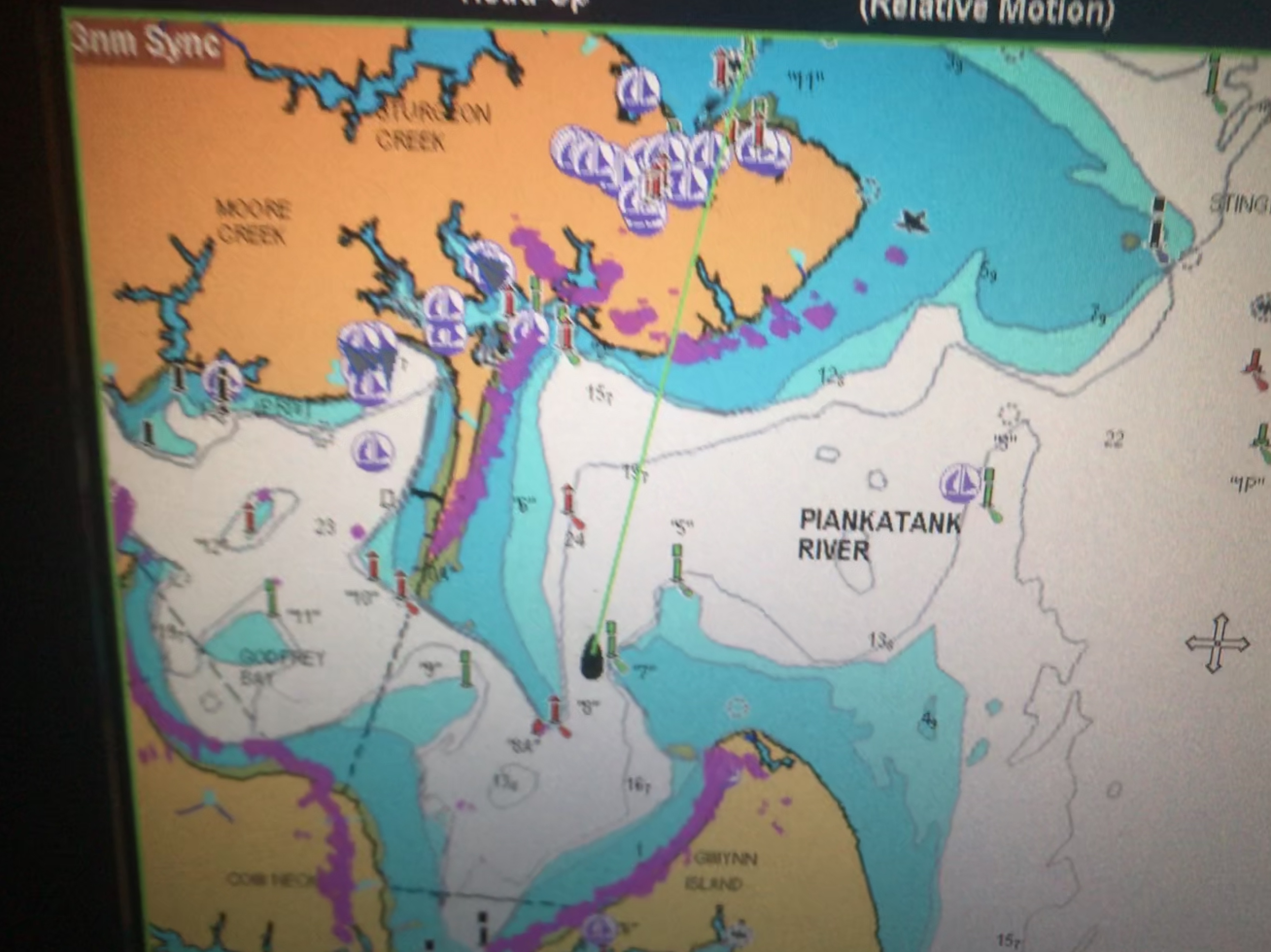
After that excitement, I spent some time finding an iPad app that would give me detailed charts of the Bahamas. I settled on the Aqua Map app. I had been using Charts & Tides by Navionics.

I was not happy that when Garmin bought ActiveCaptain.com they killed the integration with other iPad navigation apps in favor of integration with their own chartplotters.
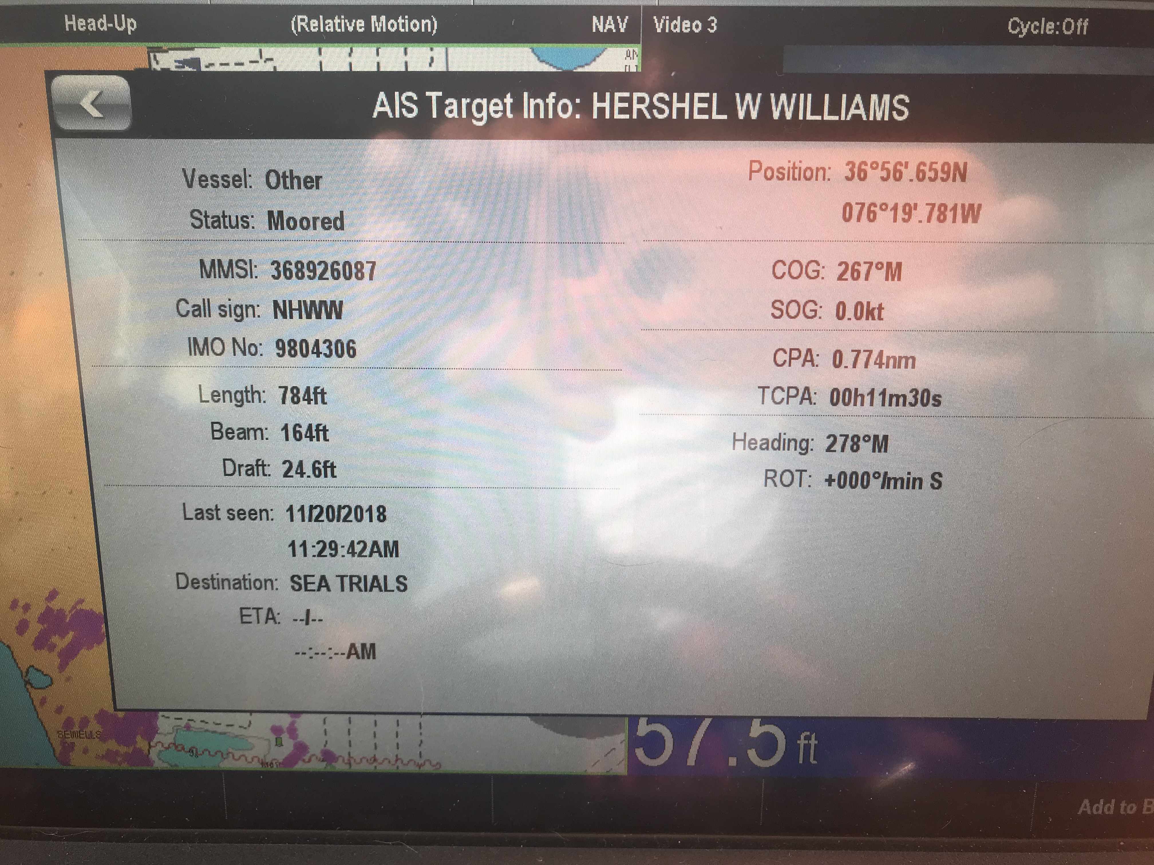
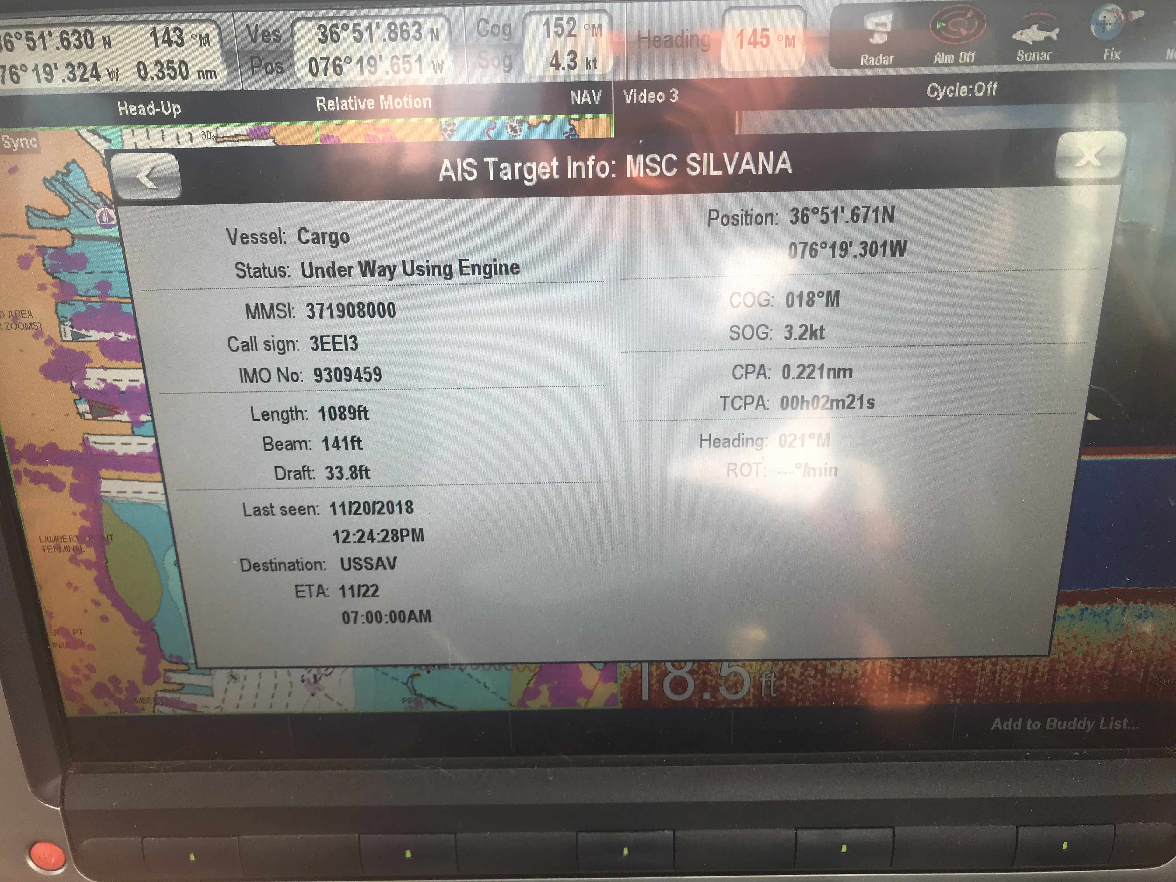
I had been using Charts & Tides for the last 15 months because it was not very expensive to purchase the Navionics charts for the US & Canada ($30 or so) and the app gave me ActiveCaptain integration. ActiveCaptain.com was a web page that had a live map and a database of crowd sourced data and reviews of marinas, anchorages, local knowledge and hazards to navigation. Better yet iPad navigation apps could download the ActiveCaptain database of information for offline display in any compatible iPad navigation app. ActiveCaptain integration is a must for cruising the ICW. It puts small icons right on your navigation screen that show you marinas, places to anchor, hazards to navigation and local knowledge of inlets and difficult areas. Charts alone don’t list the nearest place to anchor when it’s dark and you need to stop for the night. Knowing there is a shoal around the next bend in the ICW and the only way to safely get past it is to hug the red daymark to within 30 ft is knowledge that active captain gives to you right on the navigation app’s screen (if the app has active captain integration). The Charts & Tides app which is extremely easy to use and very intuitive had ActiveCaptain integration until Garmin bought them and they seem very slow to fix the broken integration. You can however buy a Garmin Chartplotter and get ActiveCaptain. hmmmm?

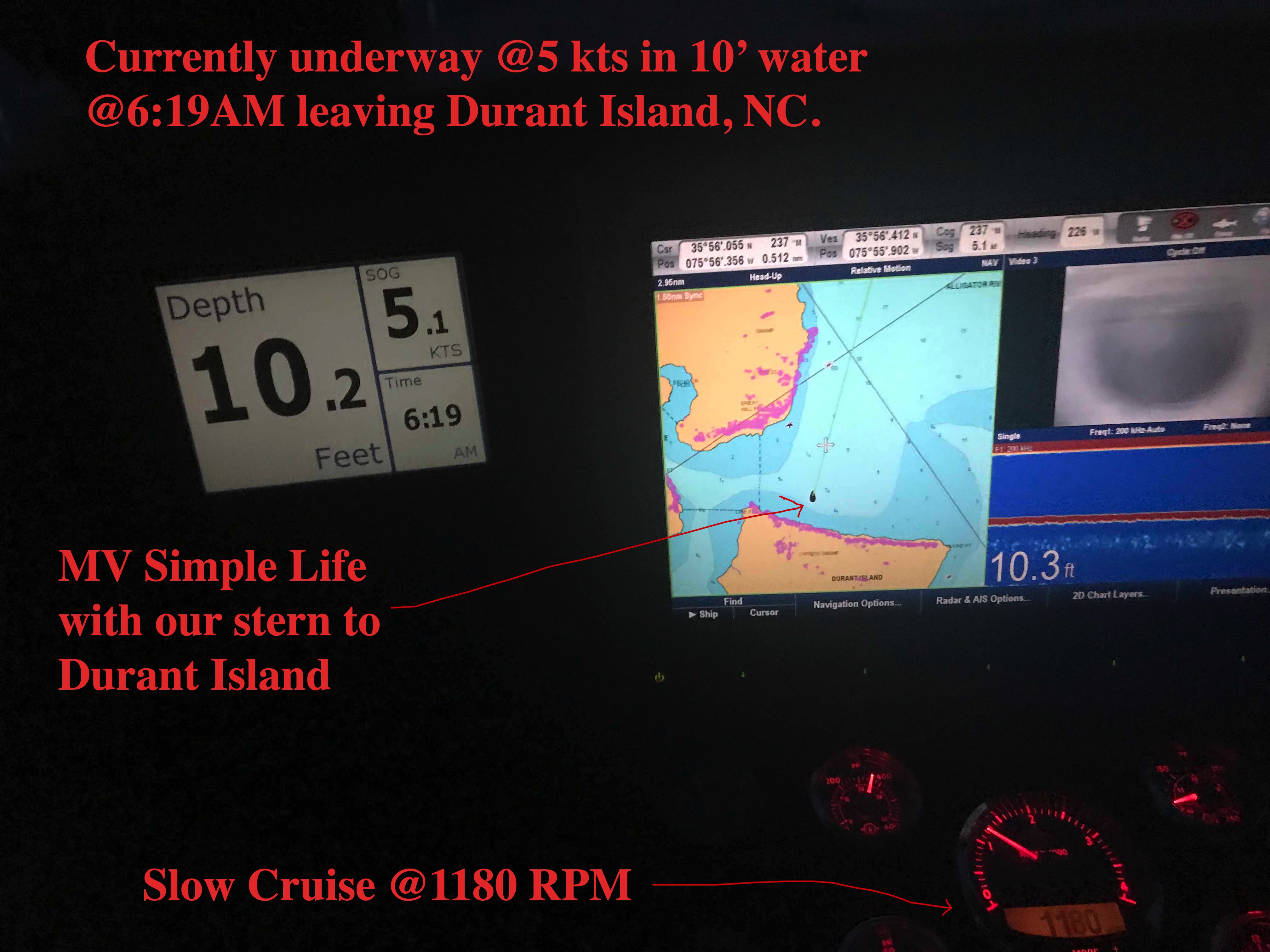
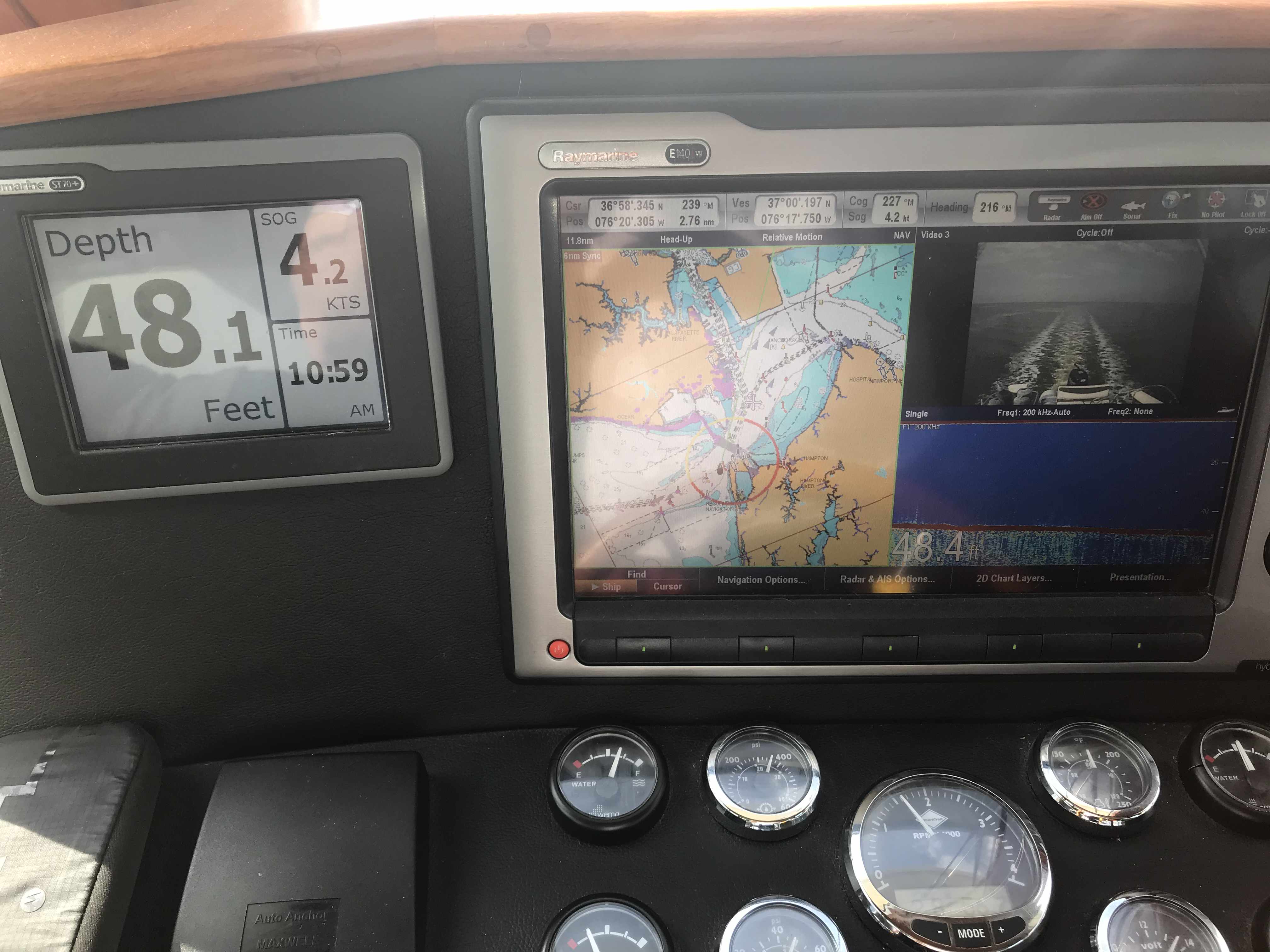
I did not want to be forced to buy an expensive Garmin chartplotter. When we purchased MV Simple Life we chose to outfit our trawler with Raymarine electronics for navigation. Expensive navigation electronics like chartplotters, radar, depth and AIS are essential but when cruising the ICW you need to use an iPad with a navigation app that supports ActiveCaptain.

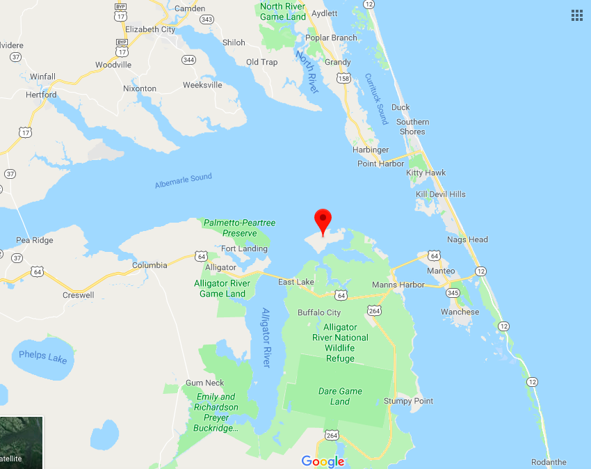
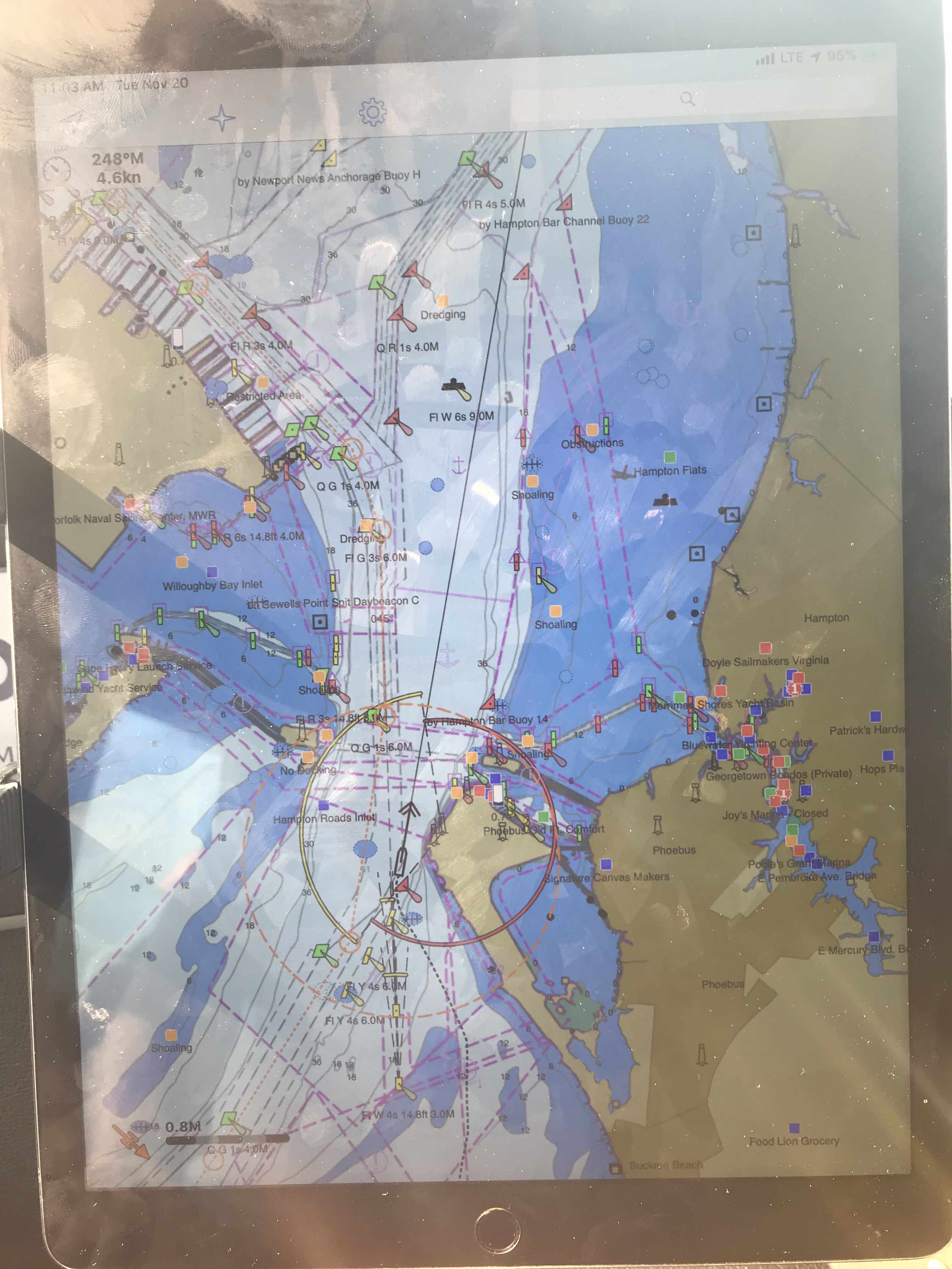
Aqua Map has ActiveCaptain integration and also allows you to purchase the very detailed Explorer charts for the Bahamas. I have never sailed around the Bahamas so step one was to purchase the charts and start studying the different islands and cays to plot my own safe routes to anchor locations of interest.
-

-
Green Turtle Cay, Off Little Abaco Island, Bahamas -
-
Abacos, Exumas, Eluthra
When we awoke our friends Jim & Wende had left squid wings and fishing tackle on our swim platform. I had been asking Jim for tips on catching fish in this area of the Atlantic and advice from someone who fishes the area is exactly what we need.

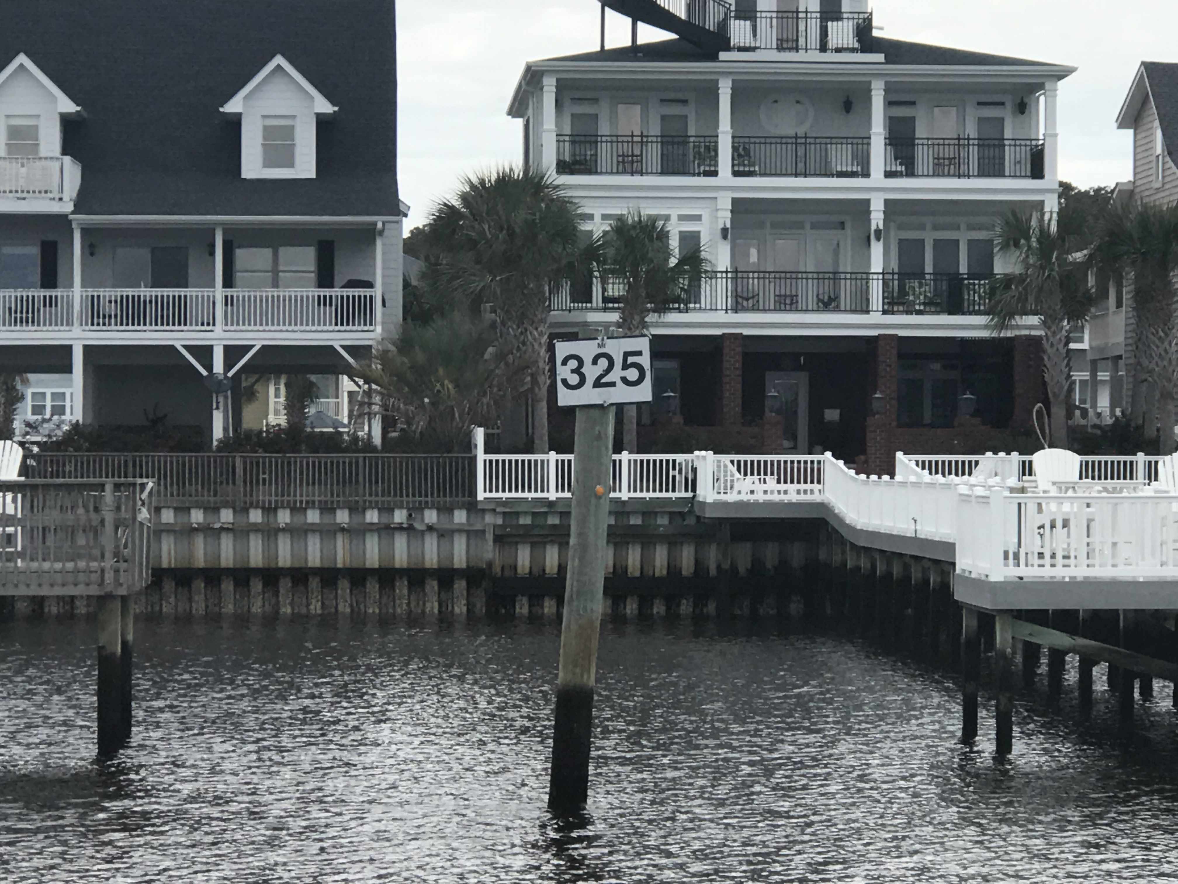
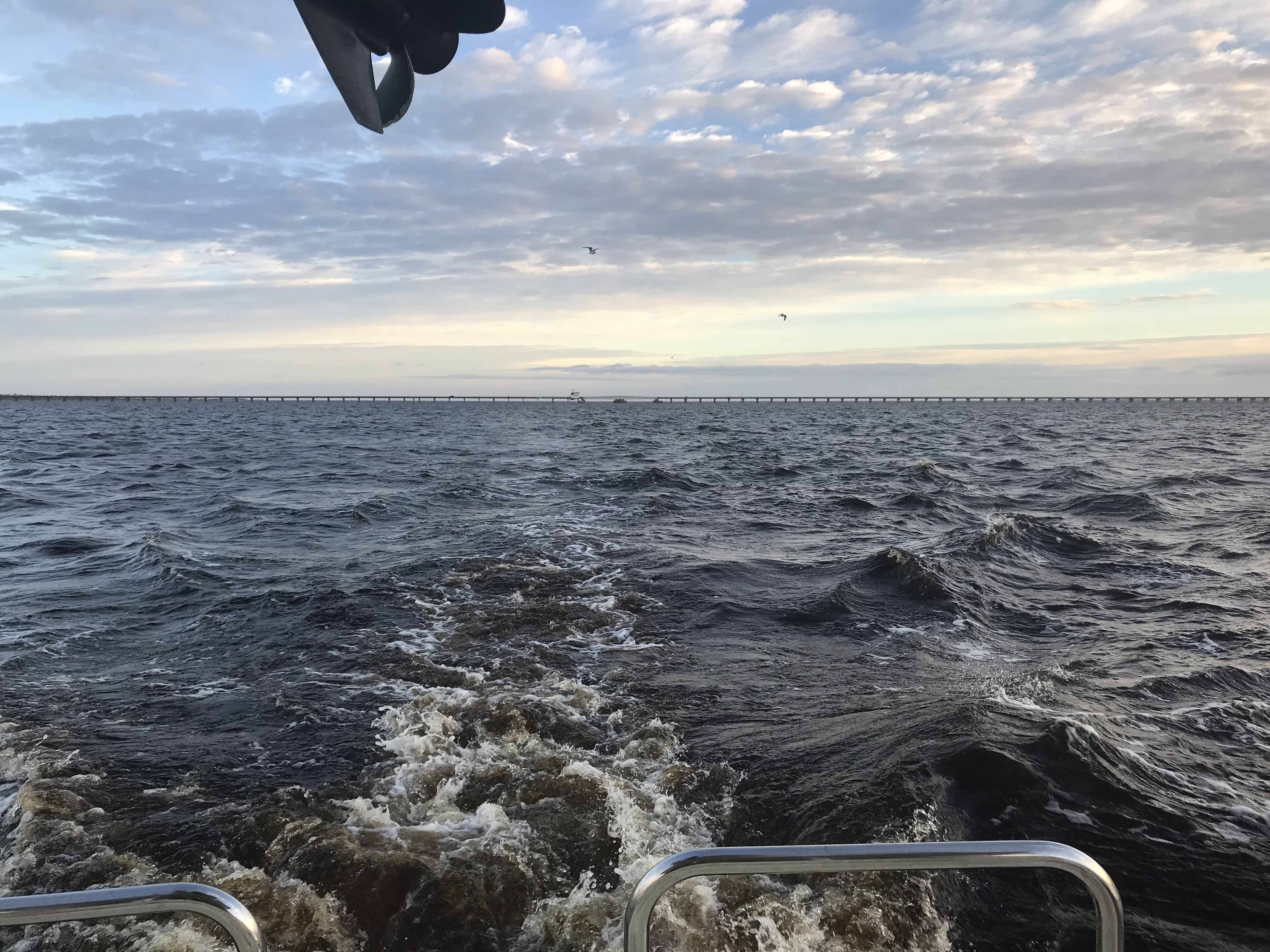
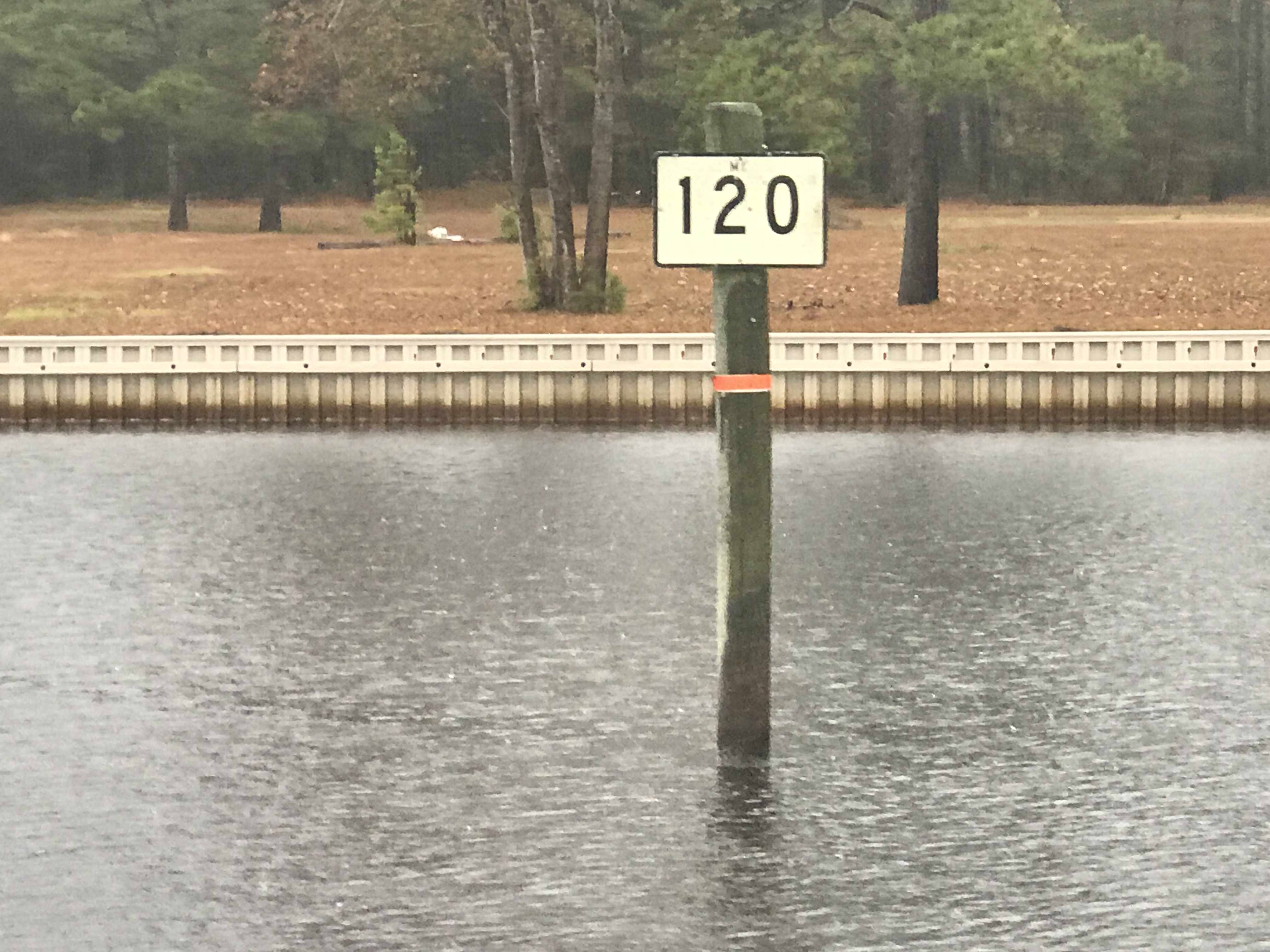
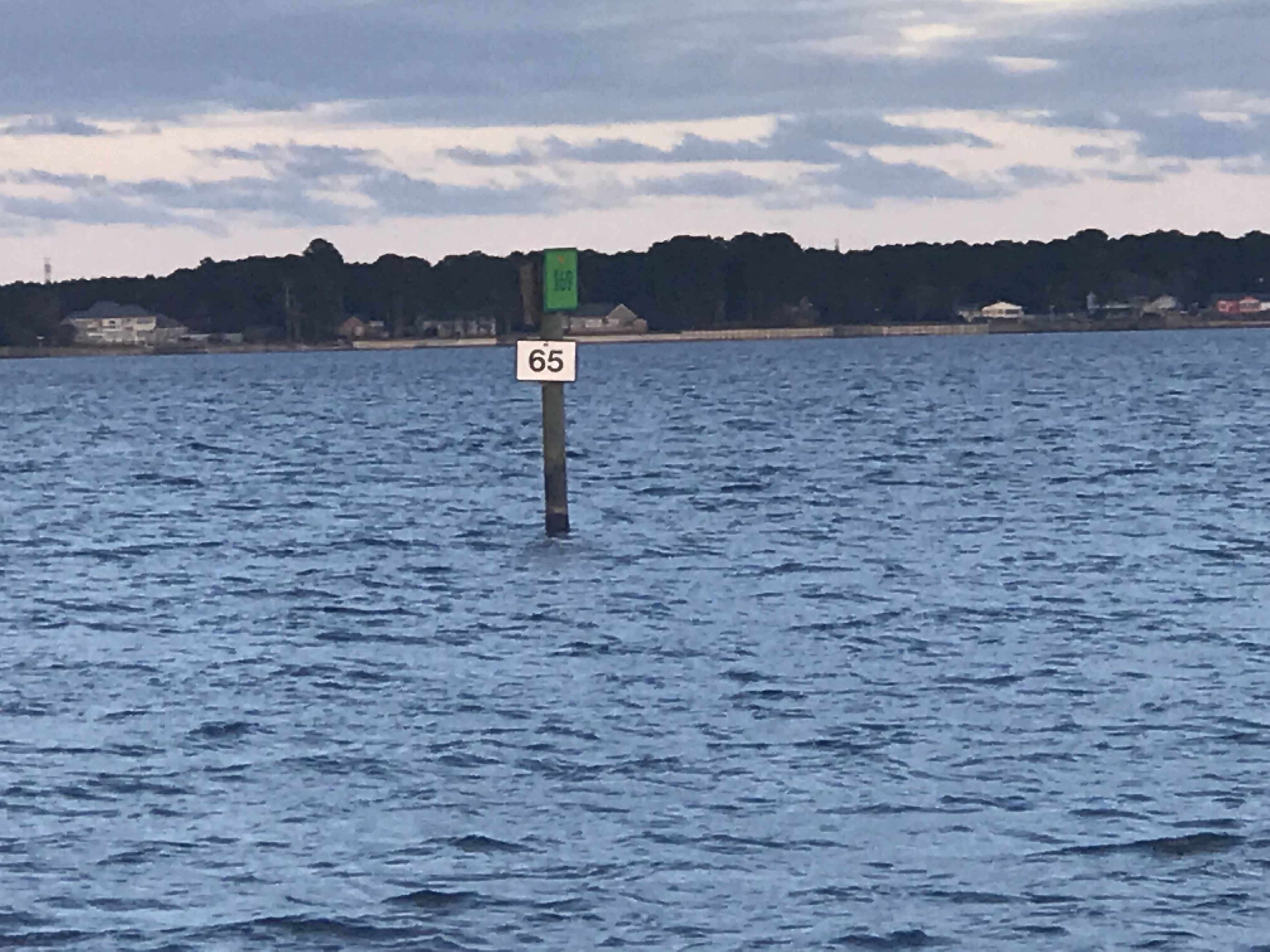
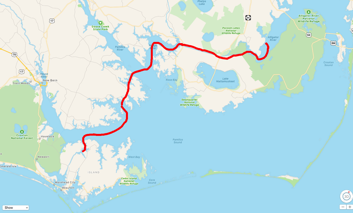
Soon we were making our way past ICW MM 325
We made it through the Lockwood Folly section of the ICW without touching bottom near low tide.

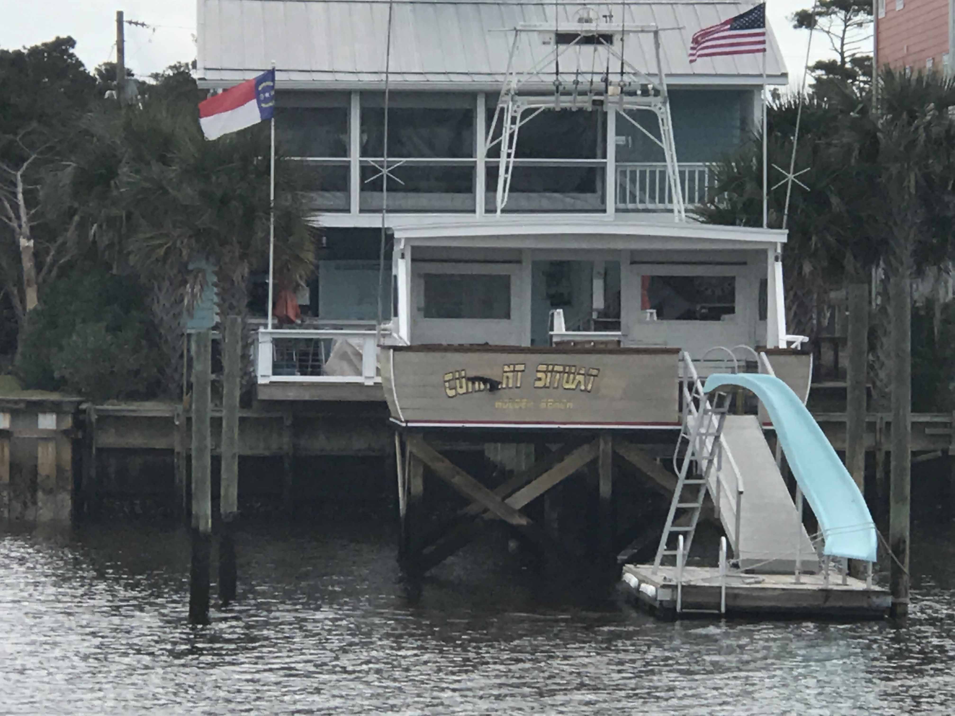
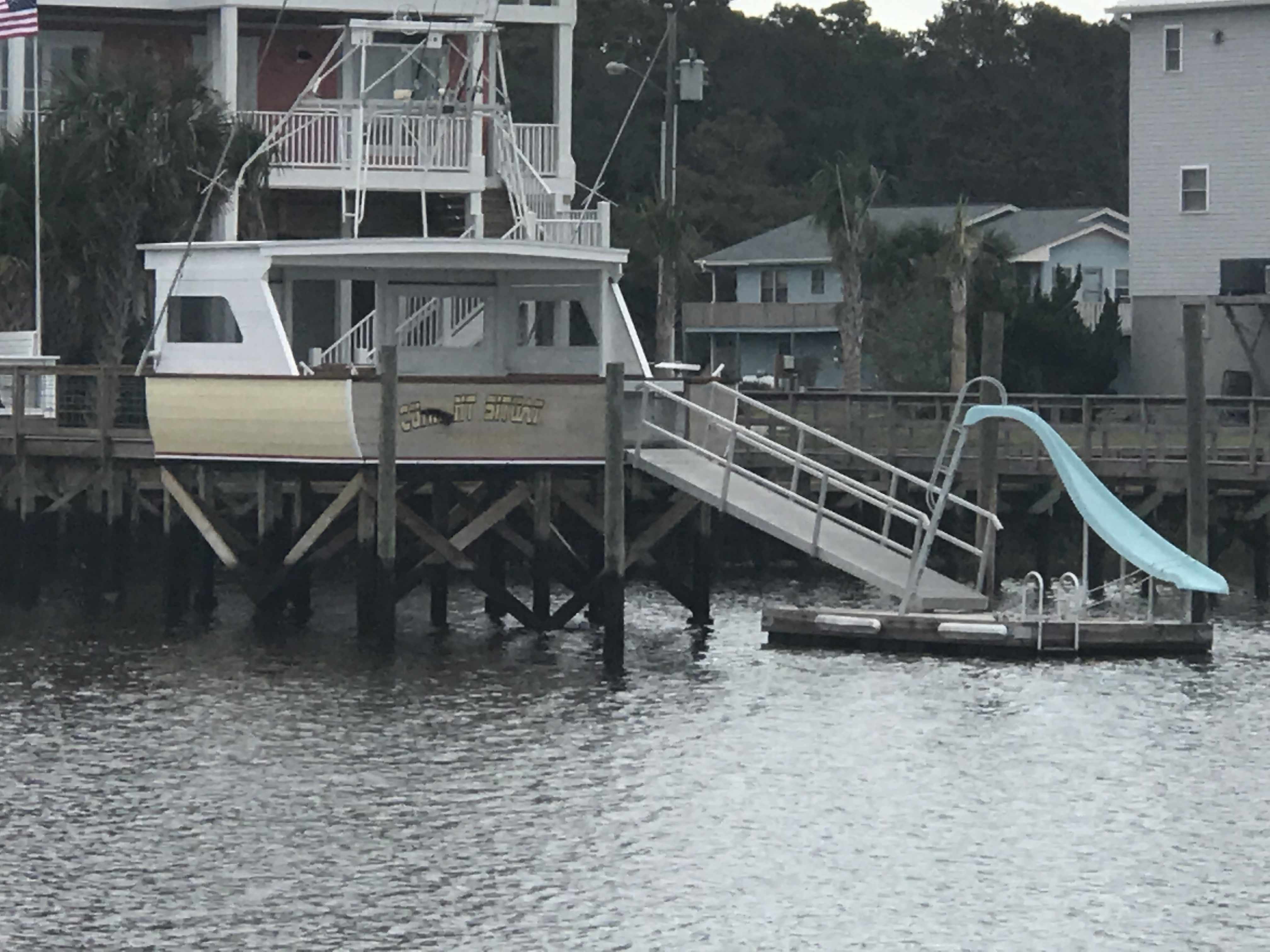
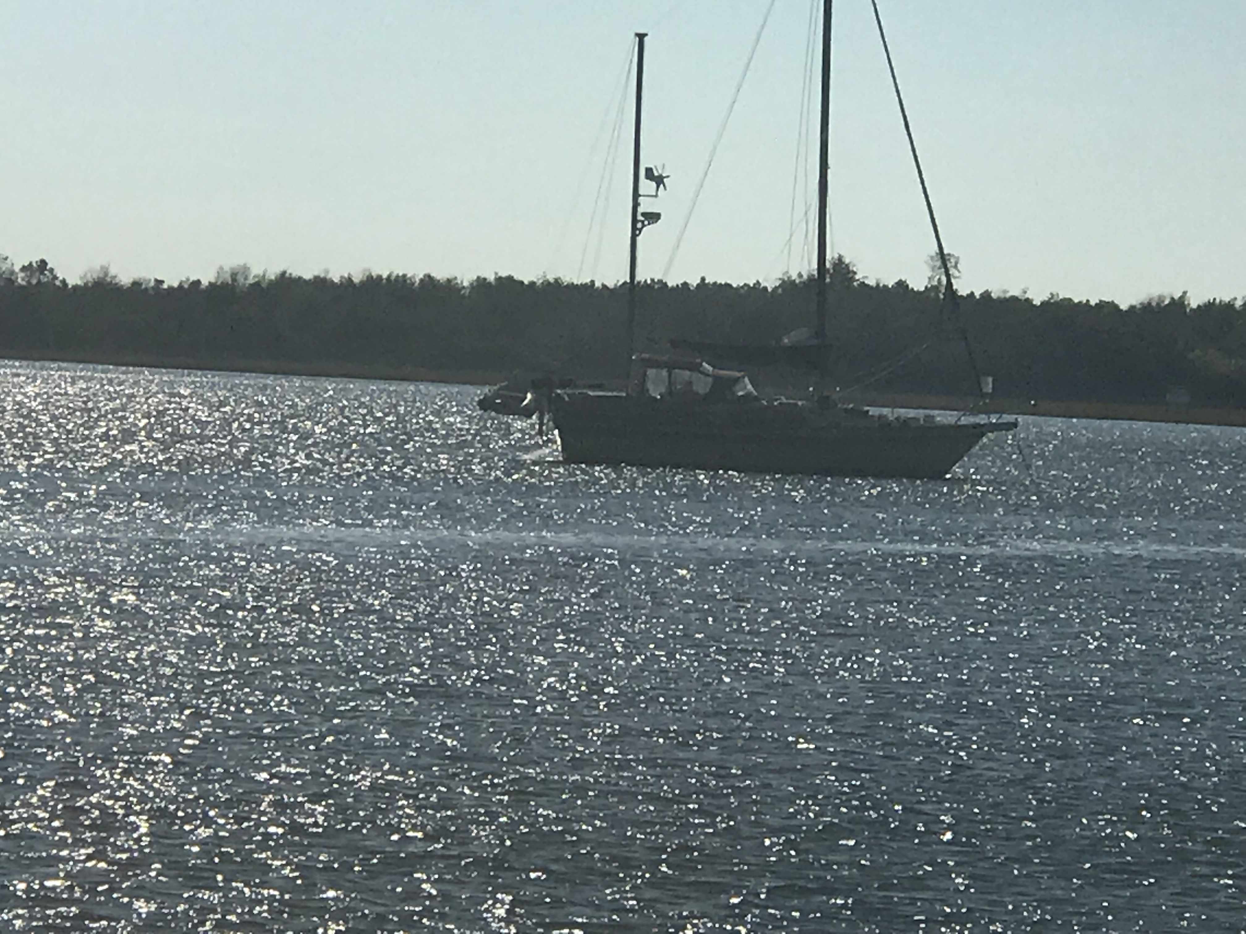
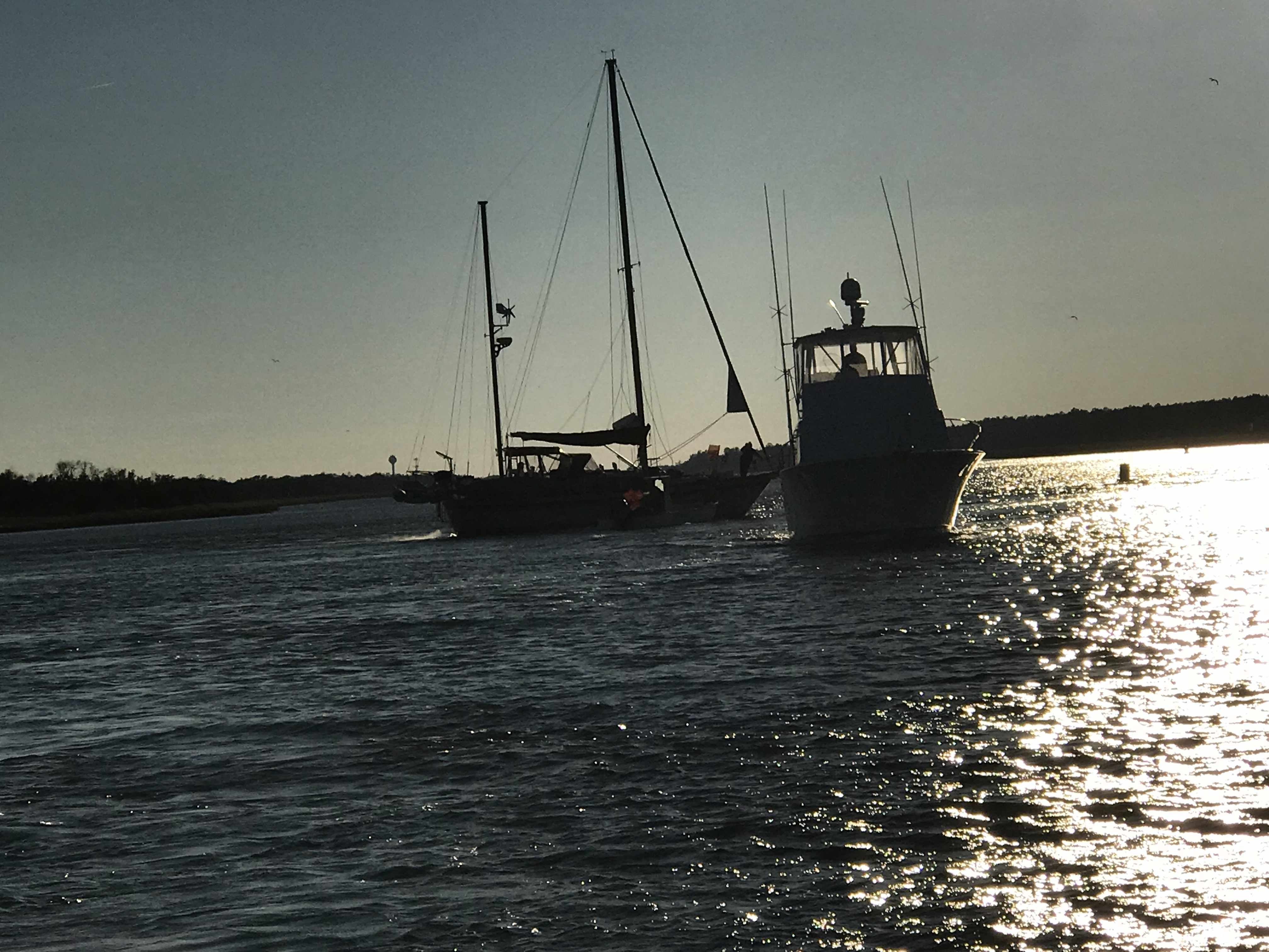
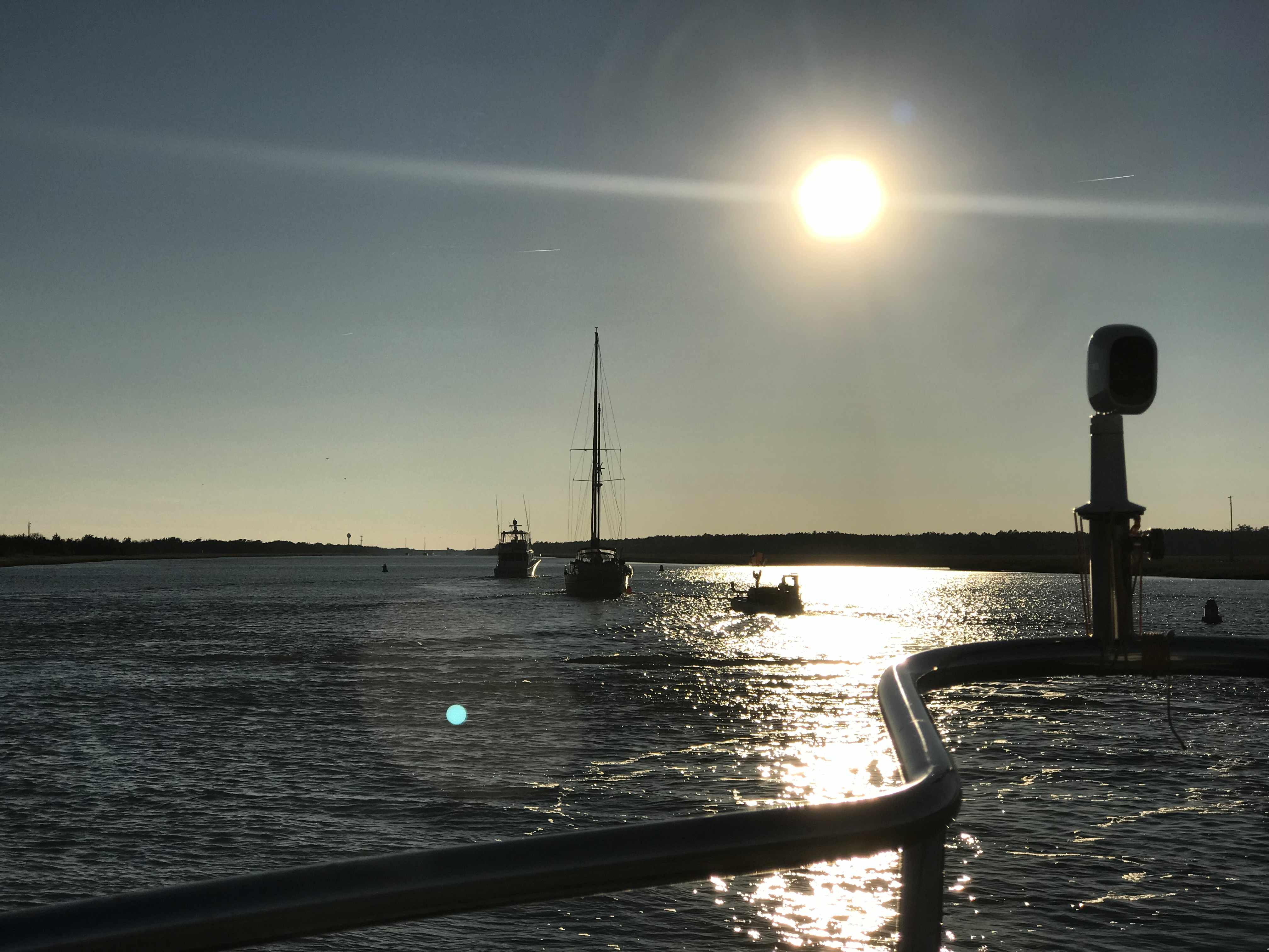
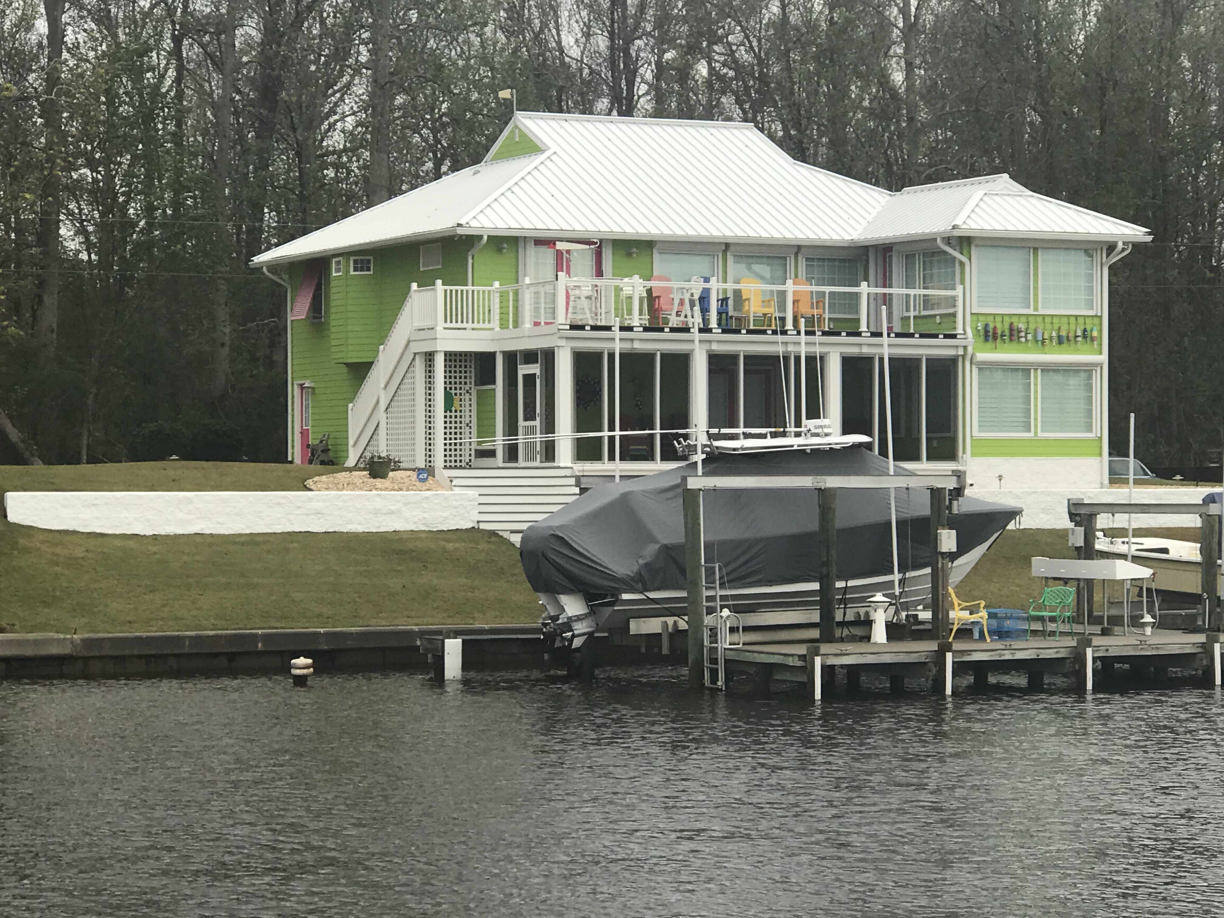
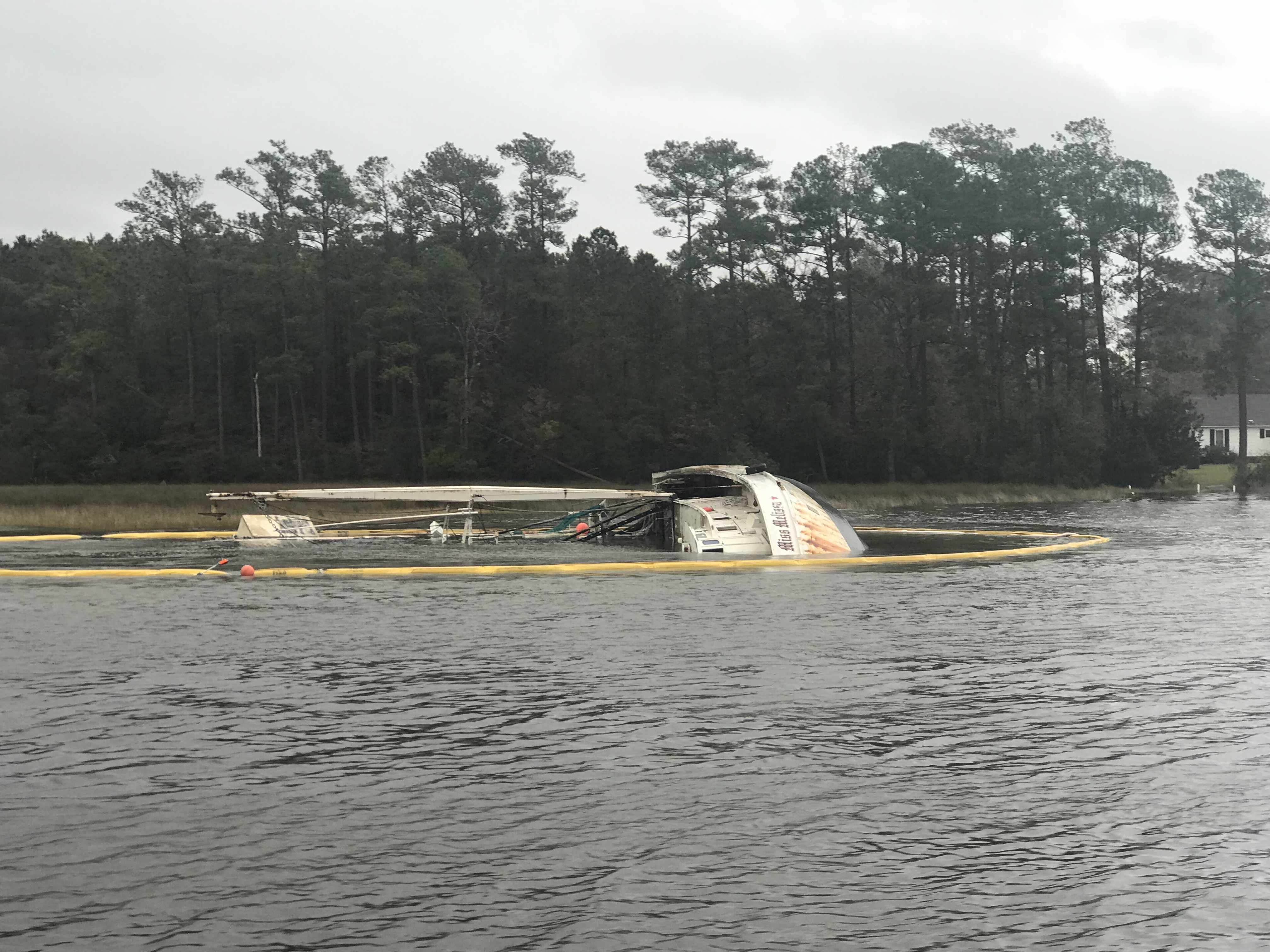
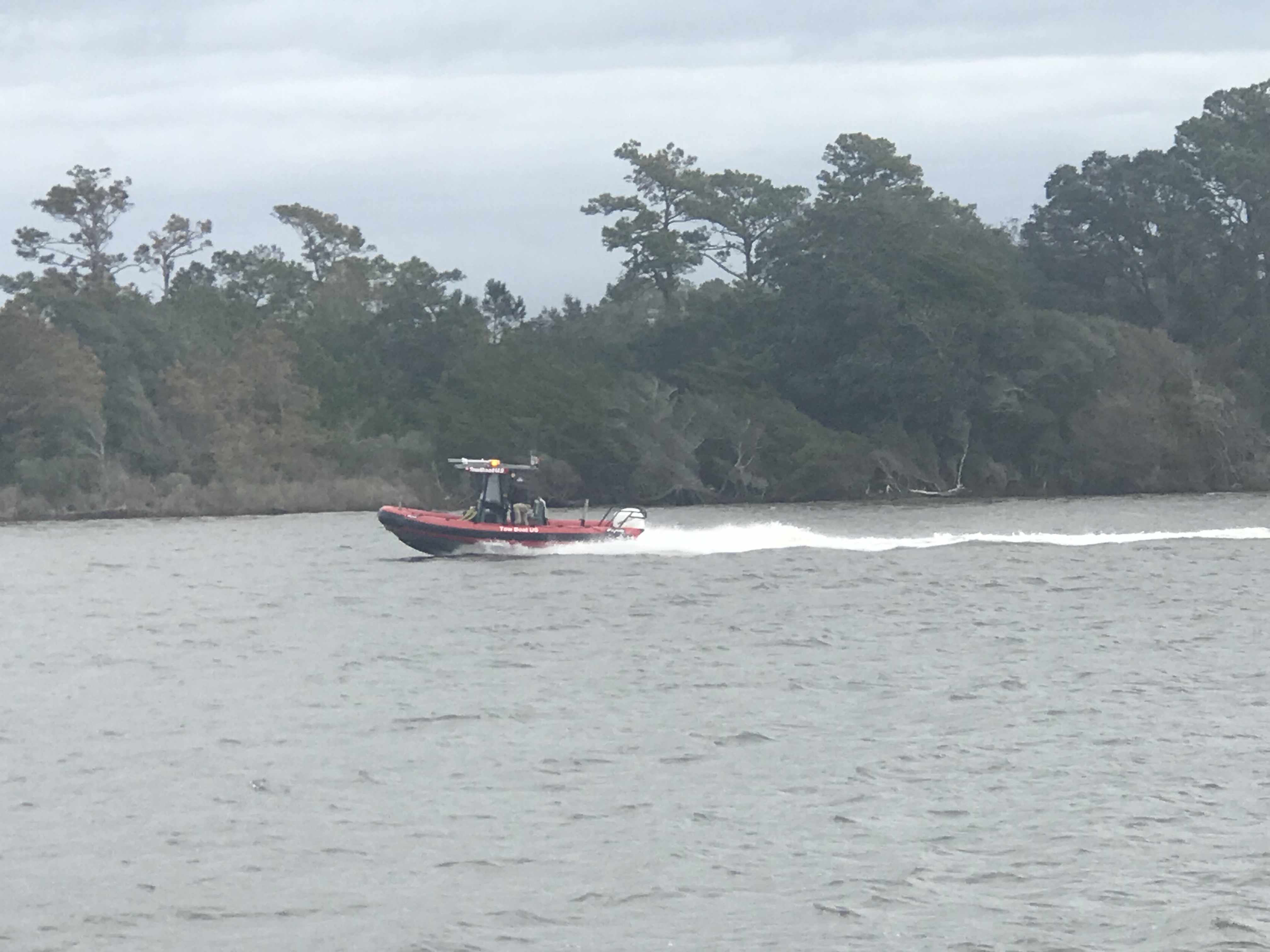
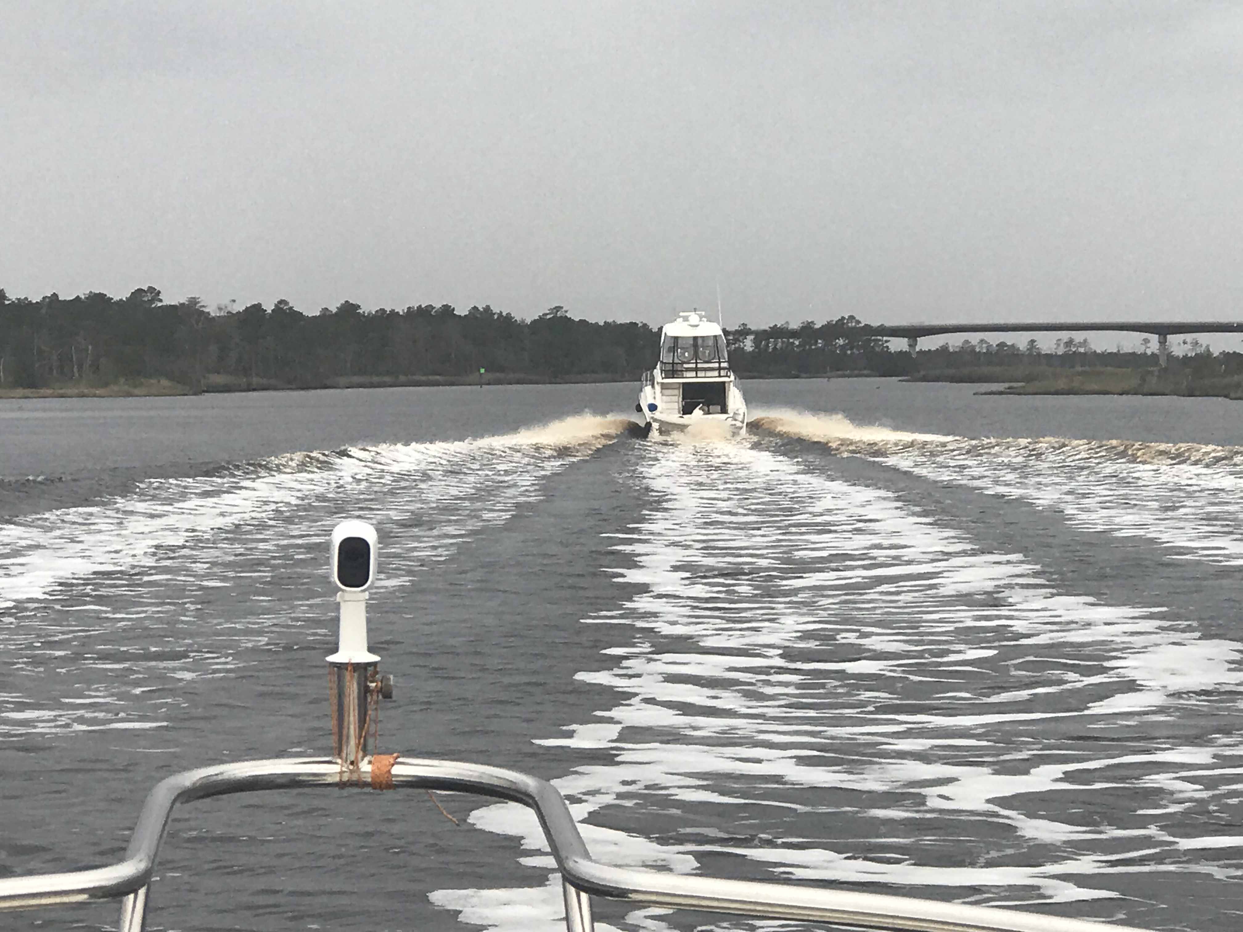
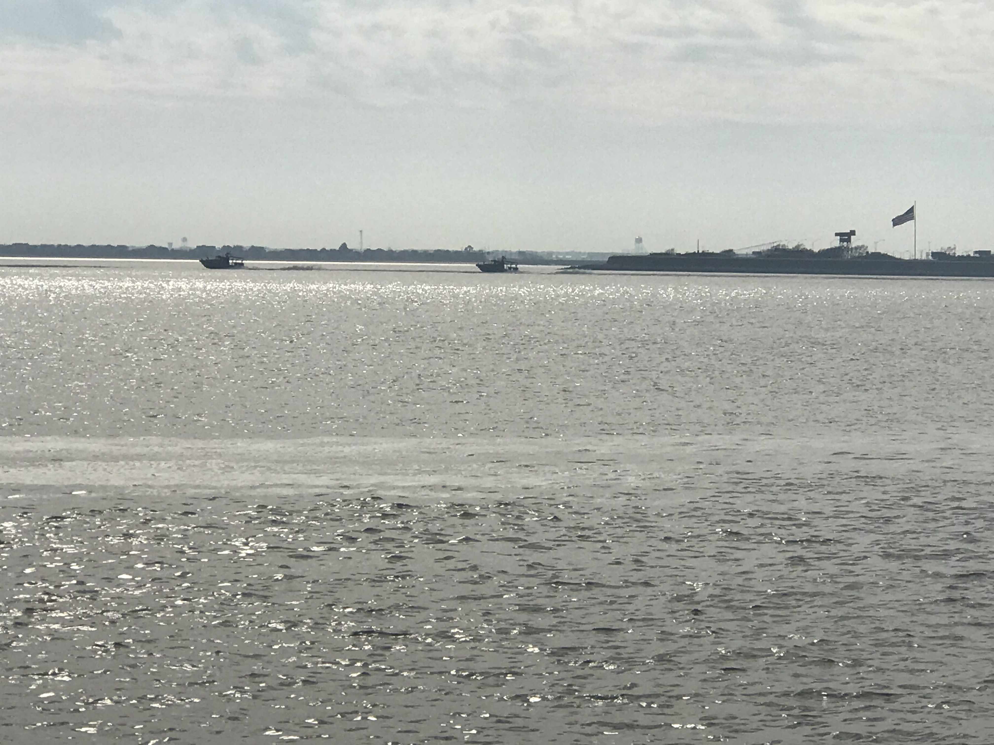
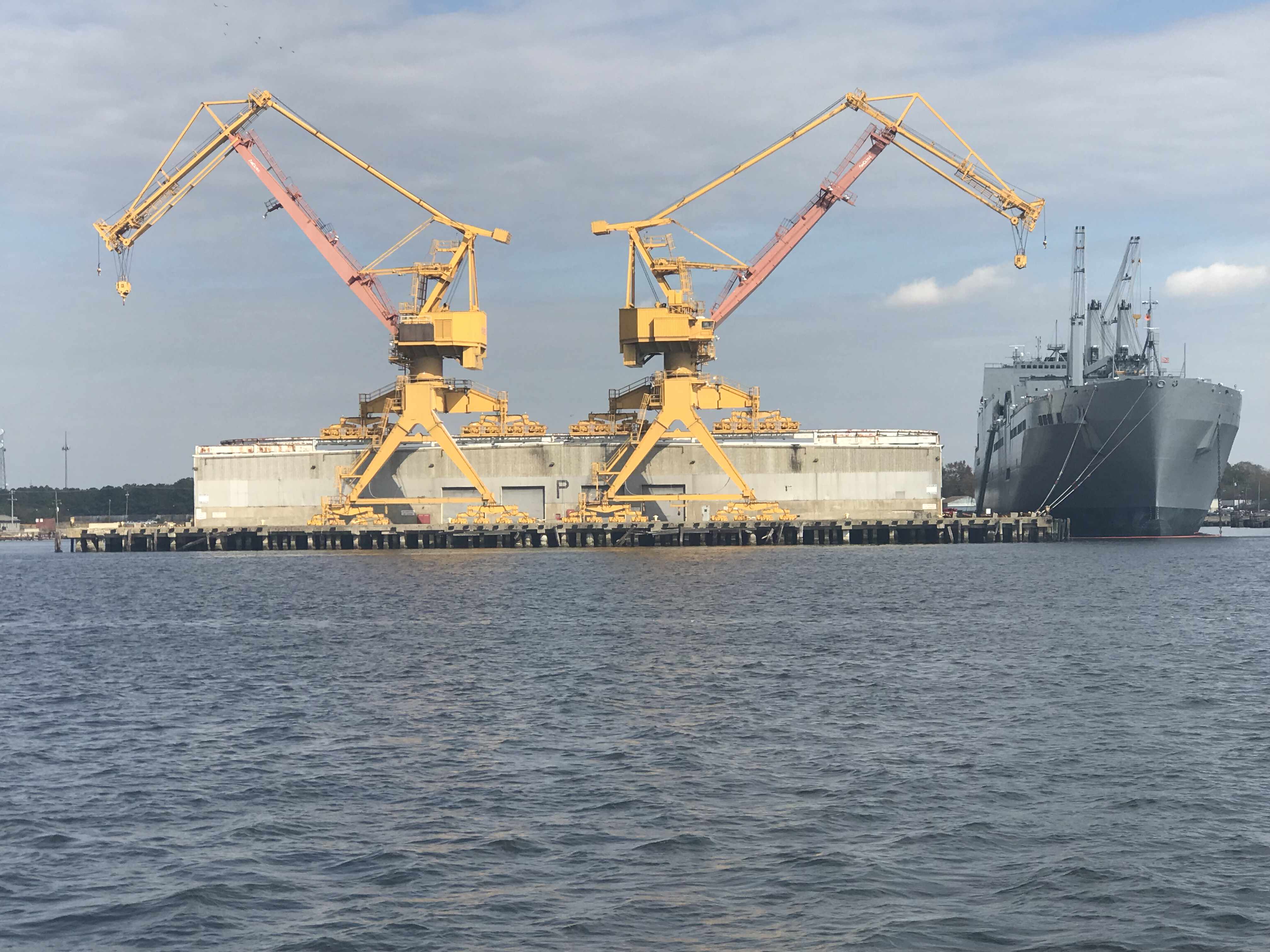
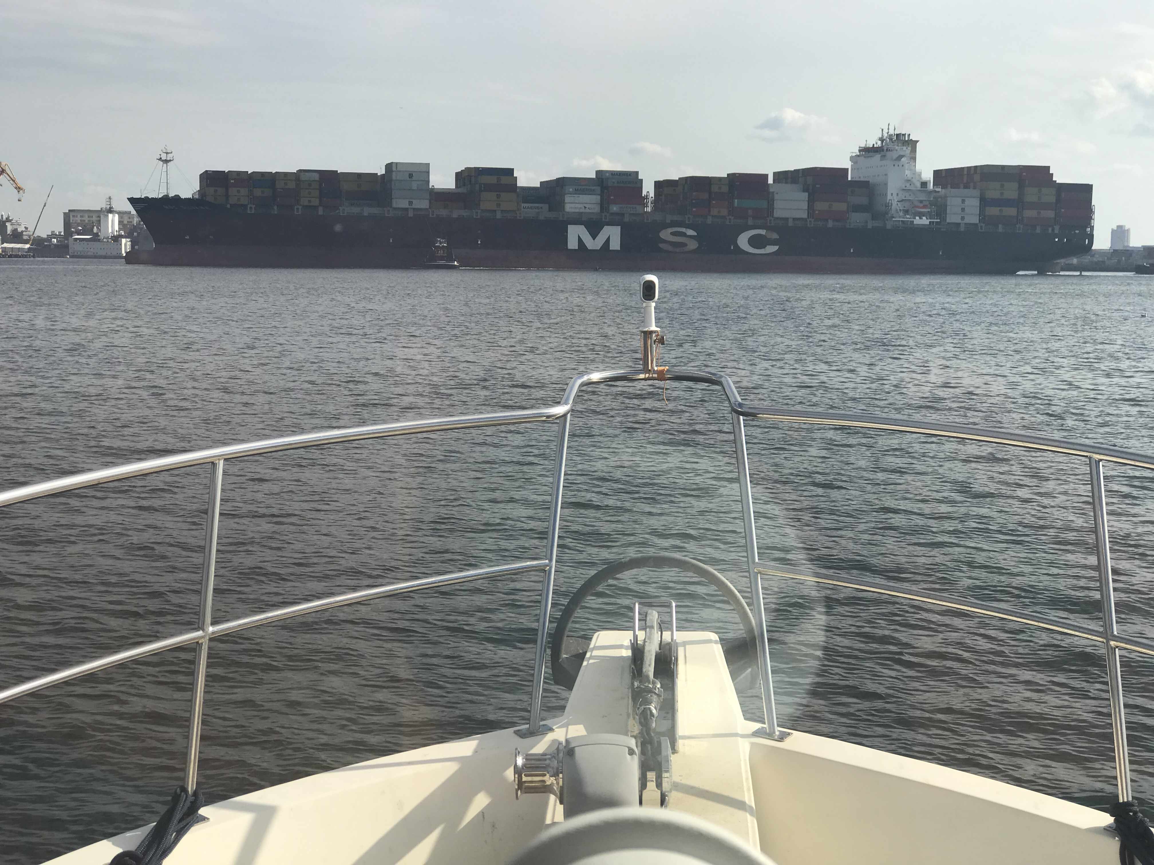
We passed many amusing sights along the ICW shore.
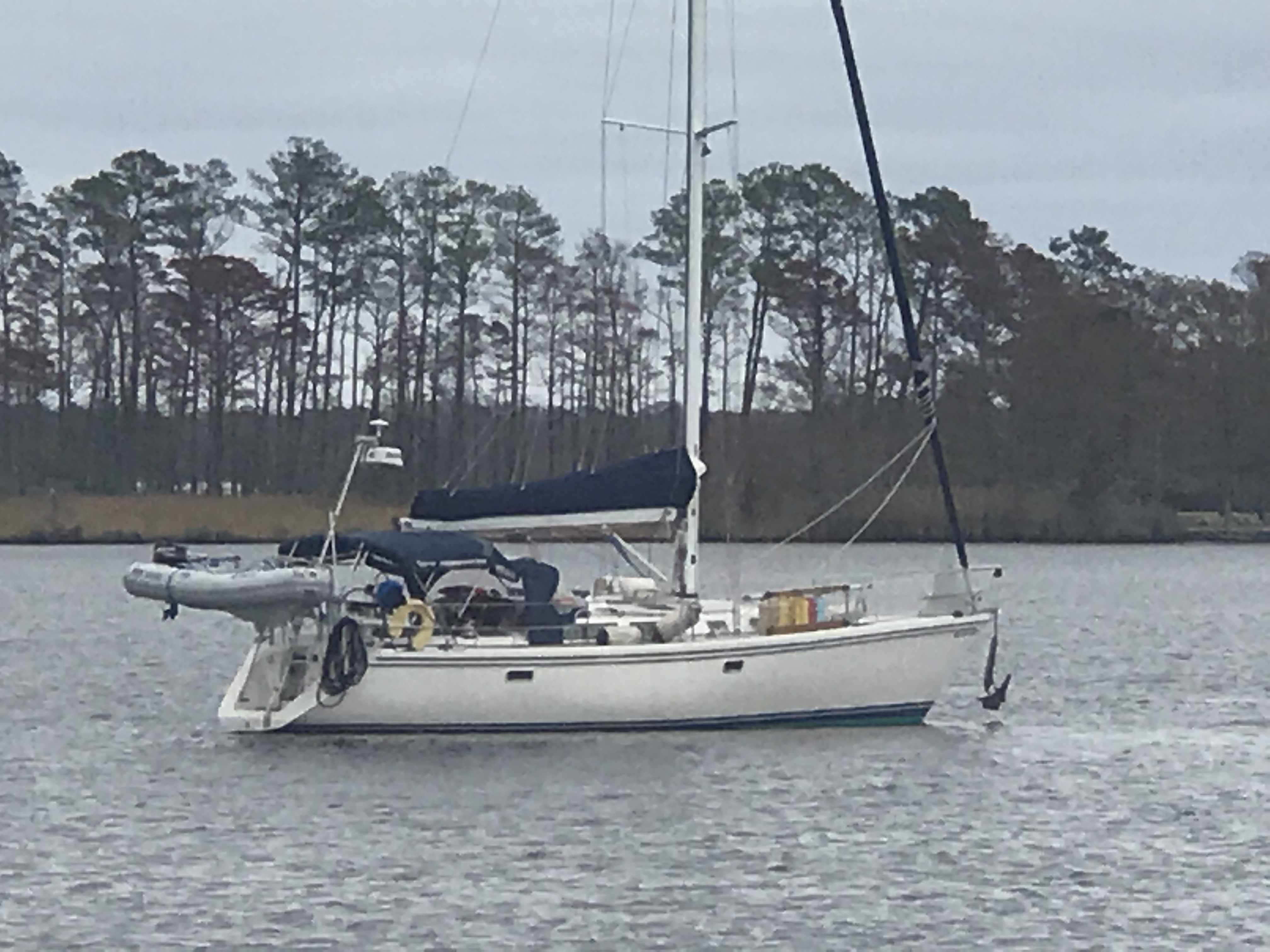
-
-
it’s a boat -
-
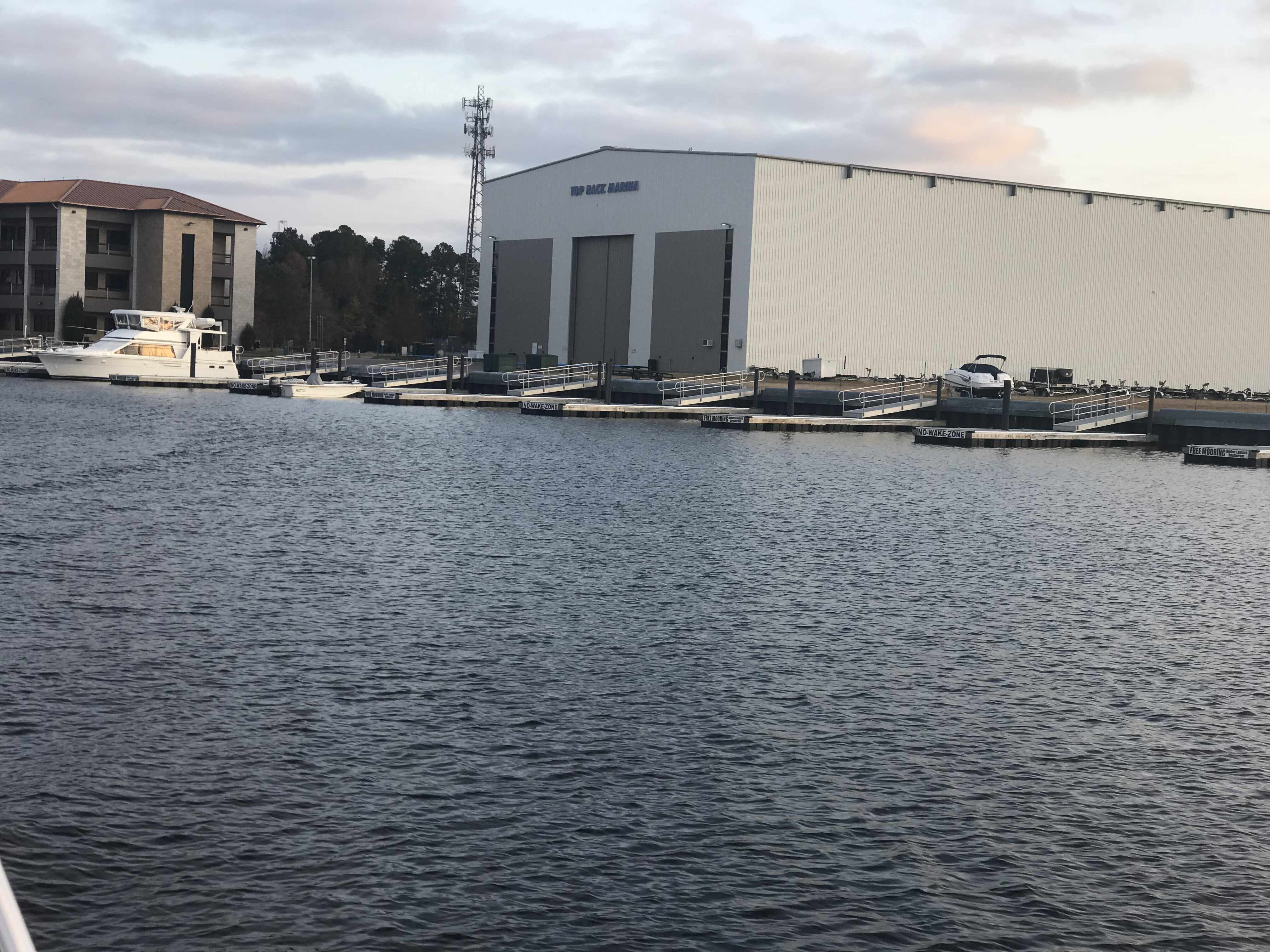
It’s a dock -

-
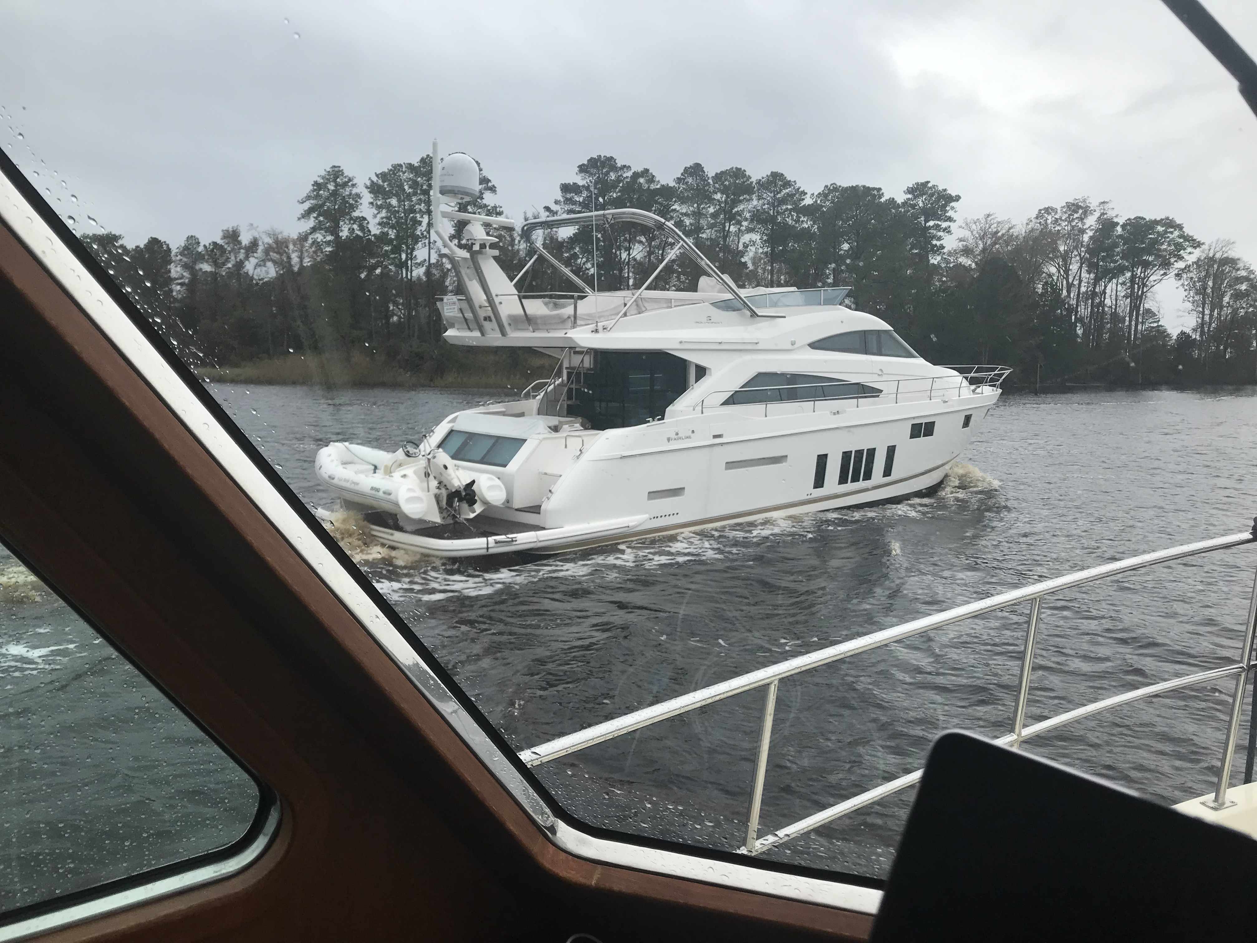
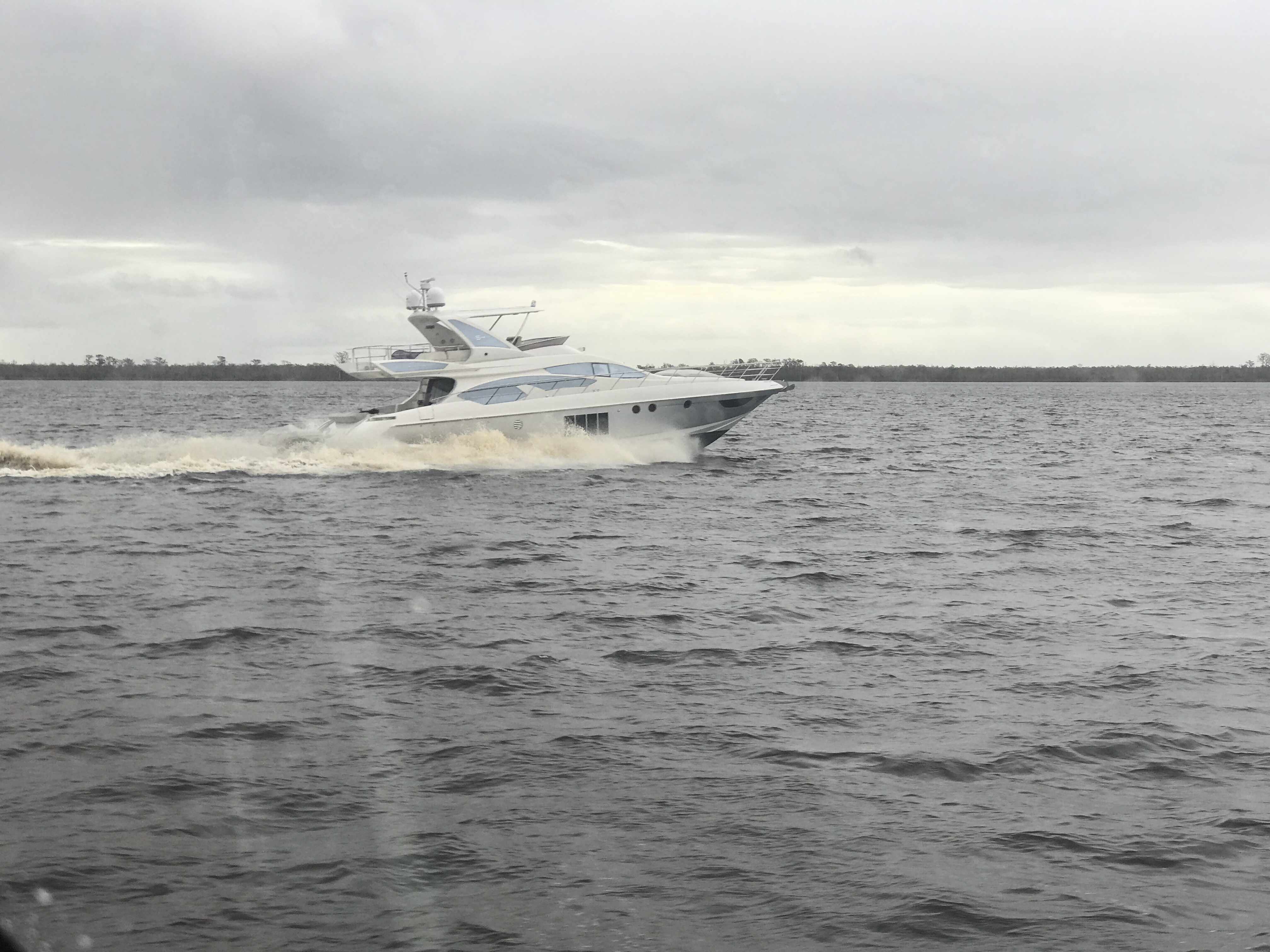
Boats docked along ICW -

-
Crew working on the Fishing Vessel -

-
Fishing Vessel inside Little River Inlet -

-
FV Wesley’s Pride -

-
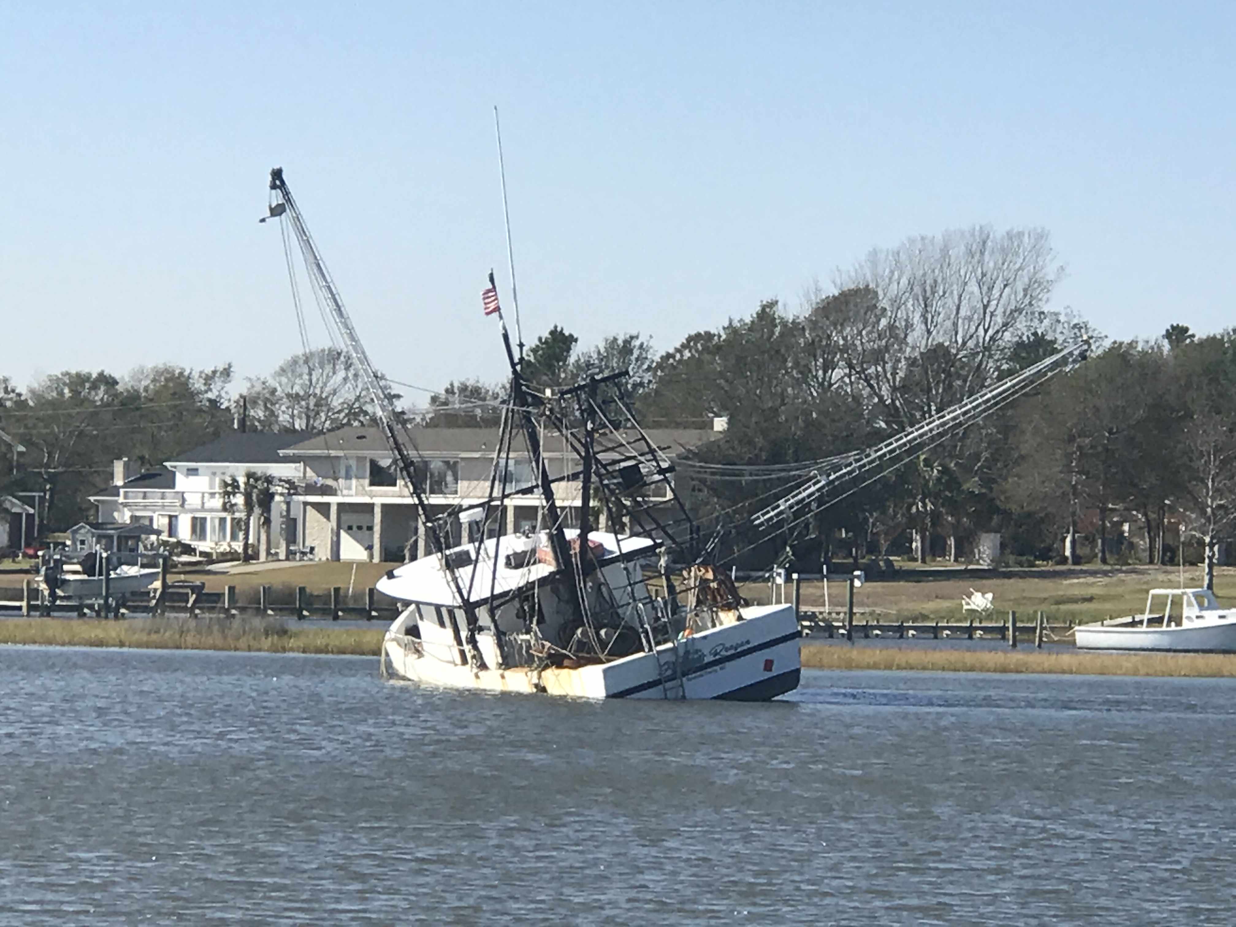
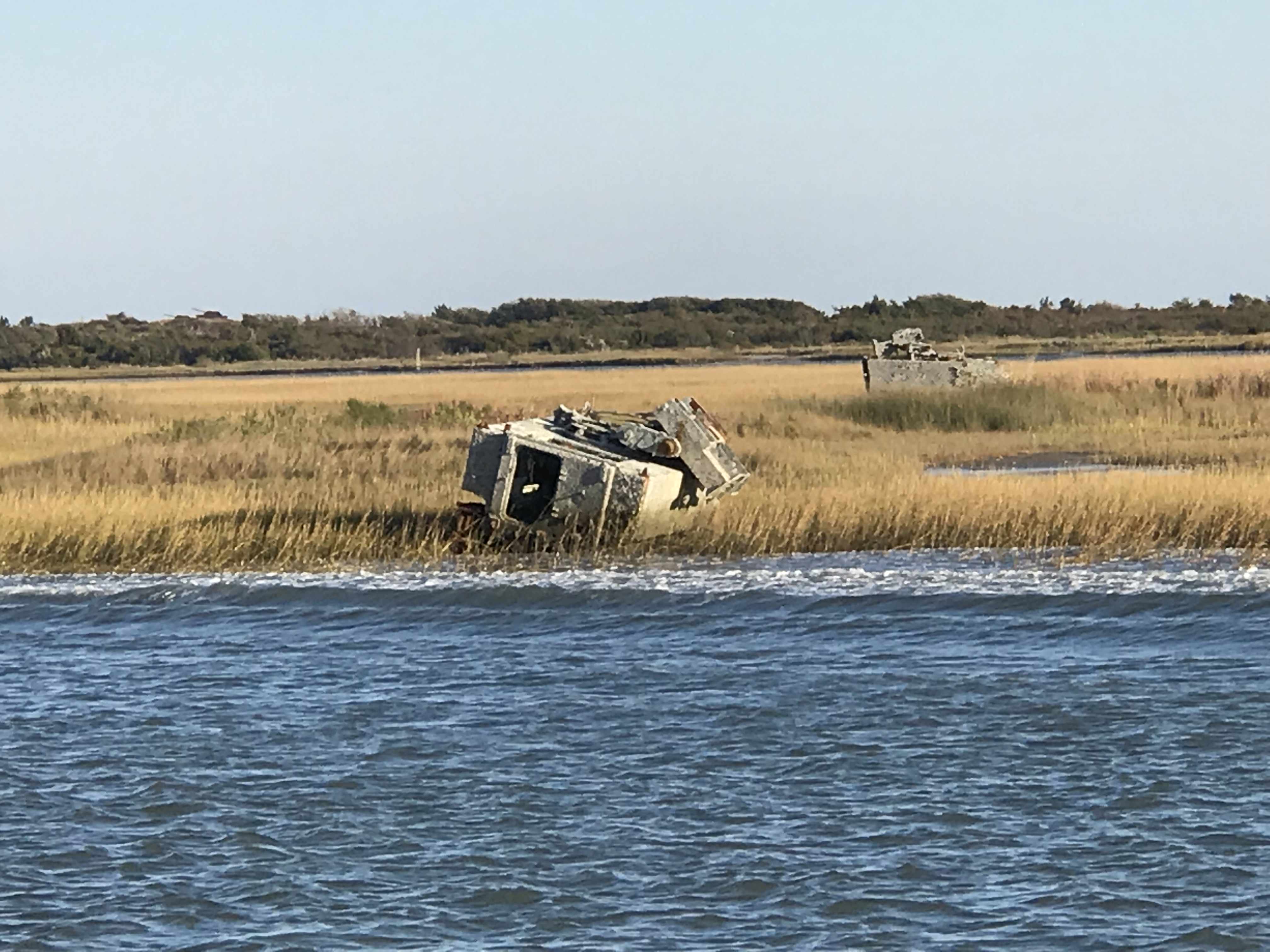
Little sunken boat -

-
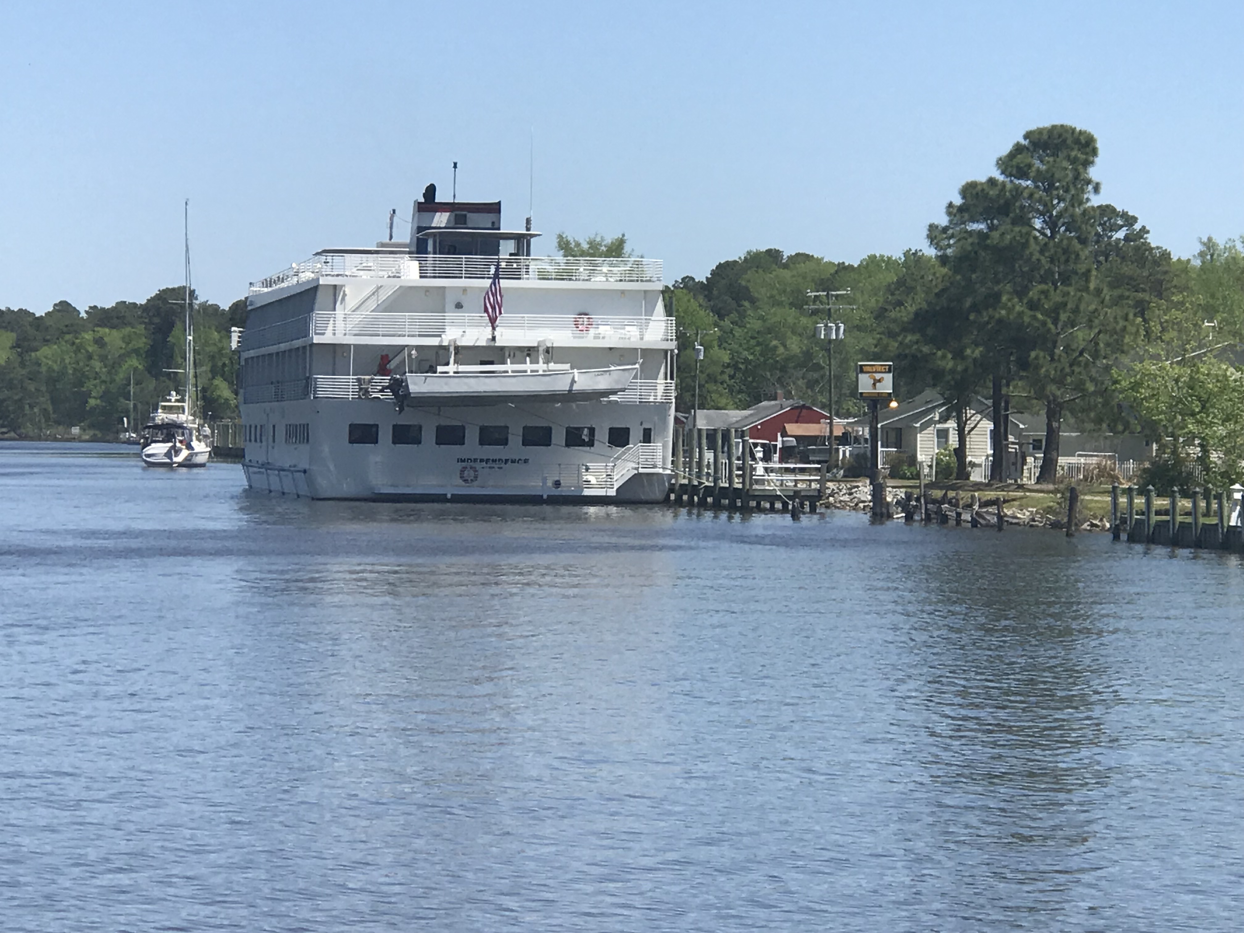
This is the M Casino Ship -

-
Giant XMAS ornaments on the lawn
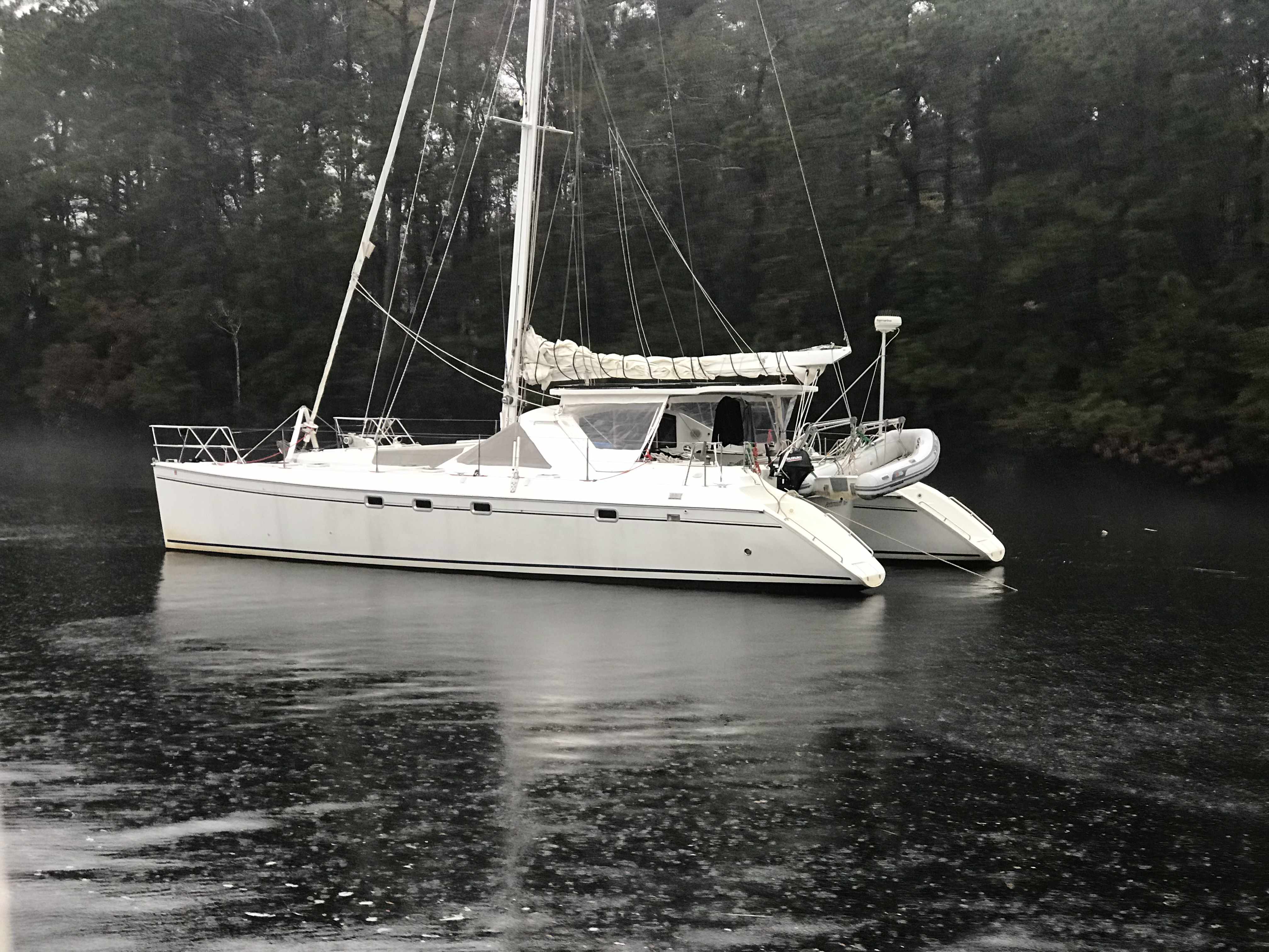
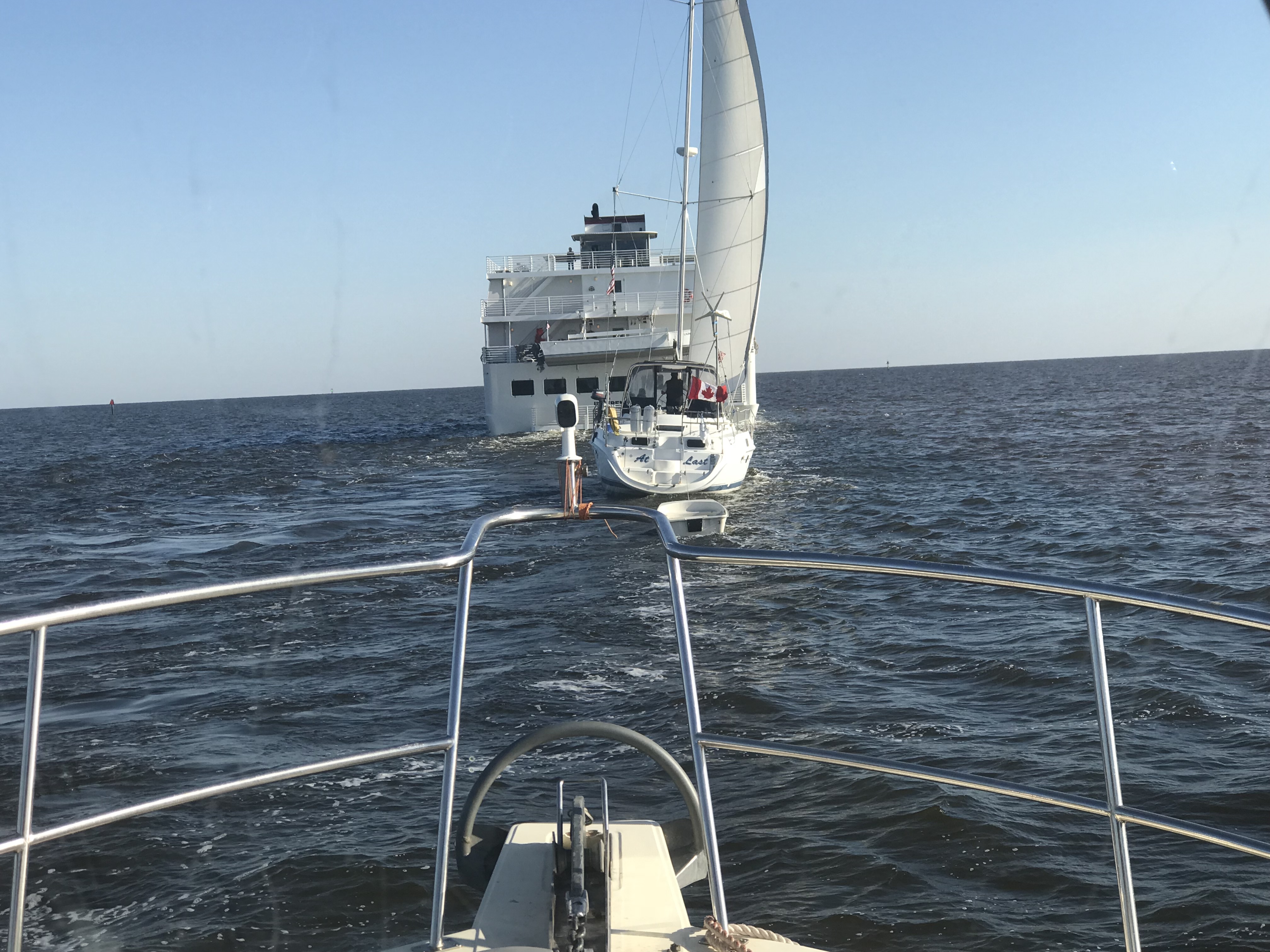
We passed this sailing catamaran that must have just gotten to tired to continue or find a place to anchor off the ICW so they just dropped anchor on the edge of the ICW. They used both a bow & stern anchor to prevent swinging into the channel but I would not be comfortable with the fog that another boat would not hit us.
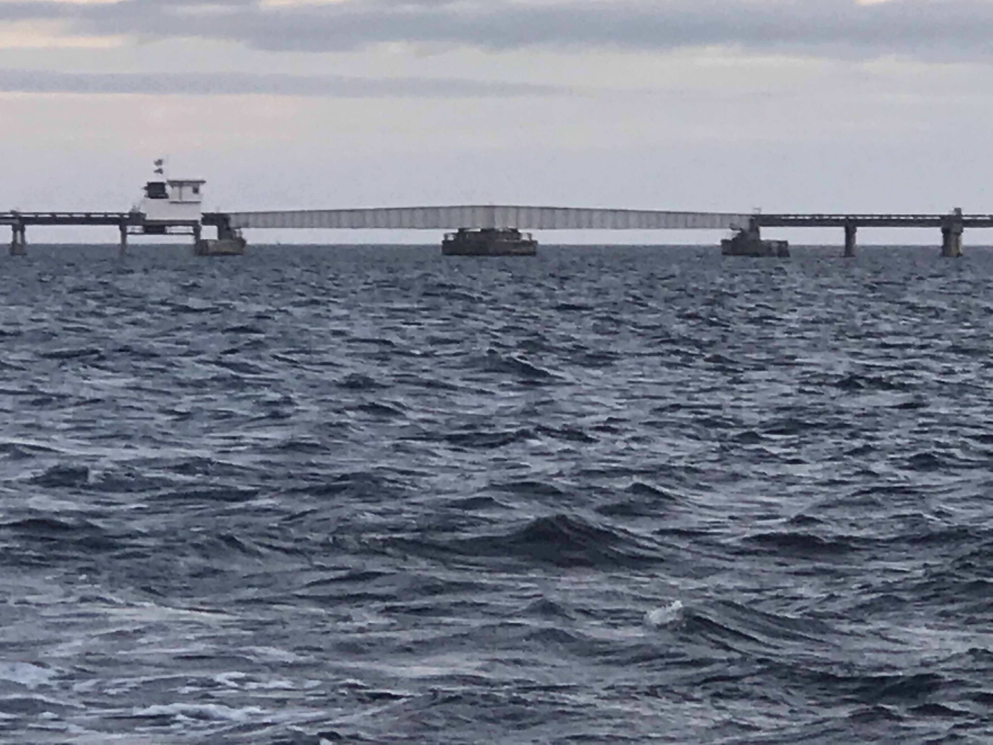
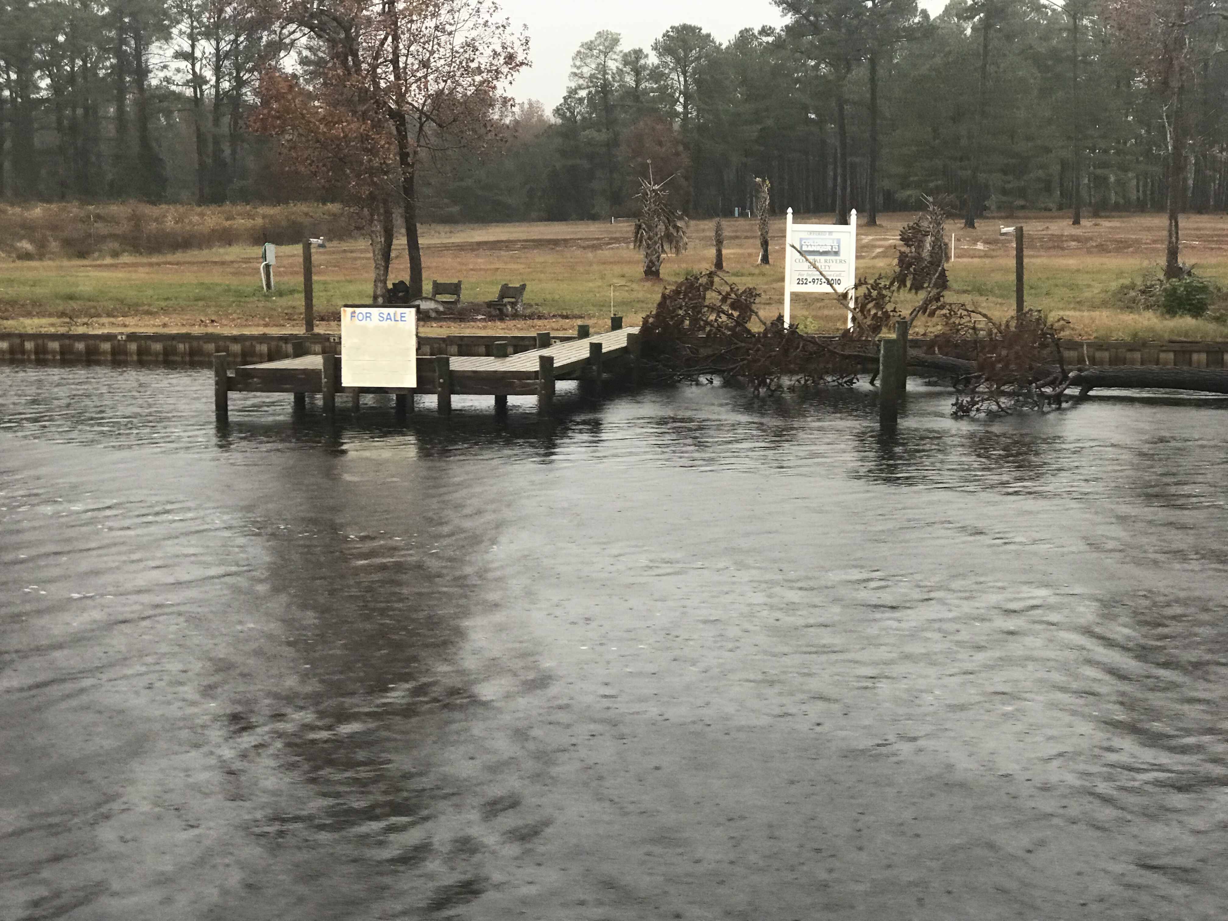
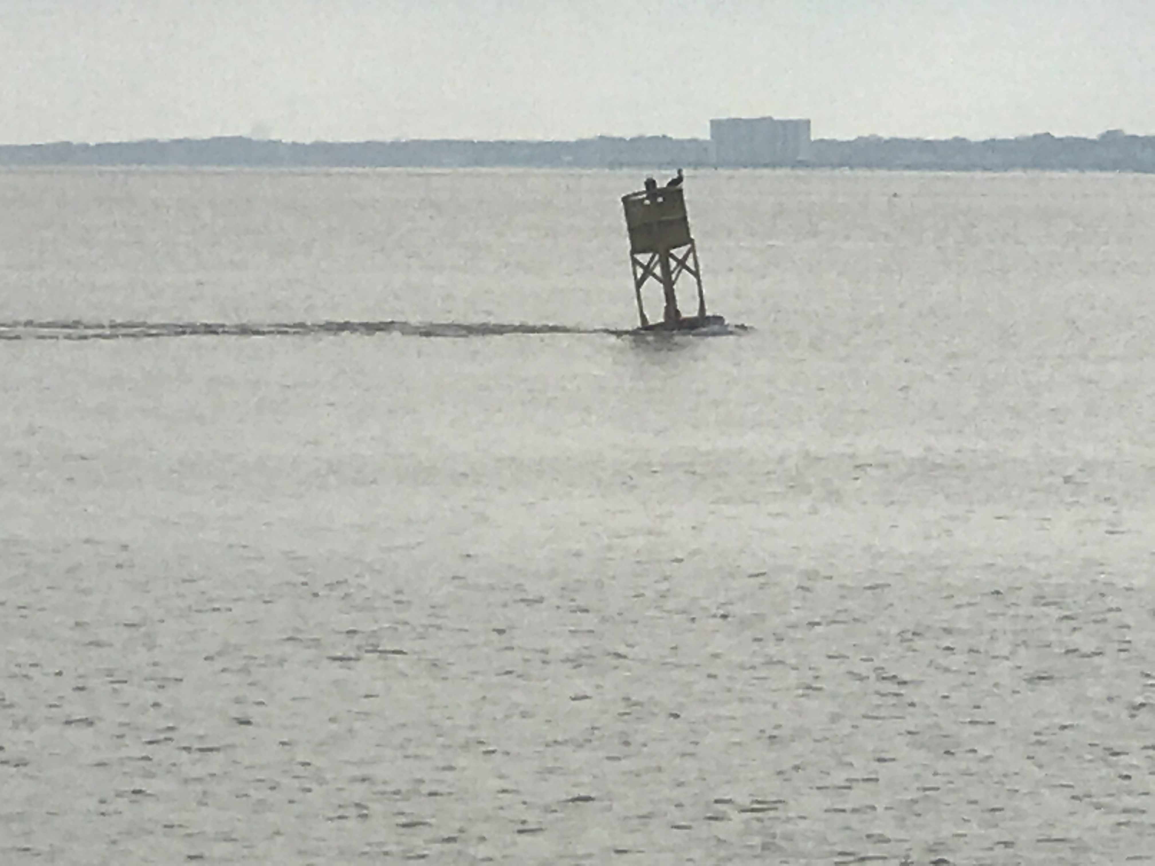
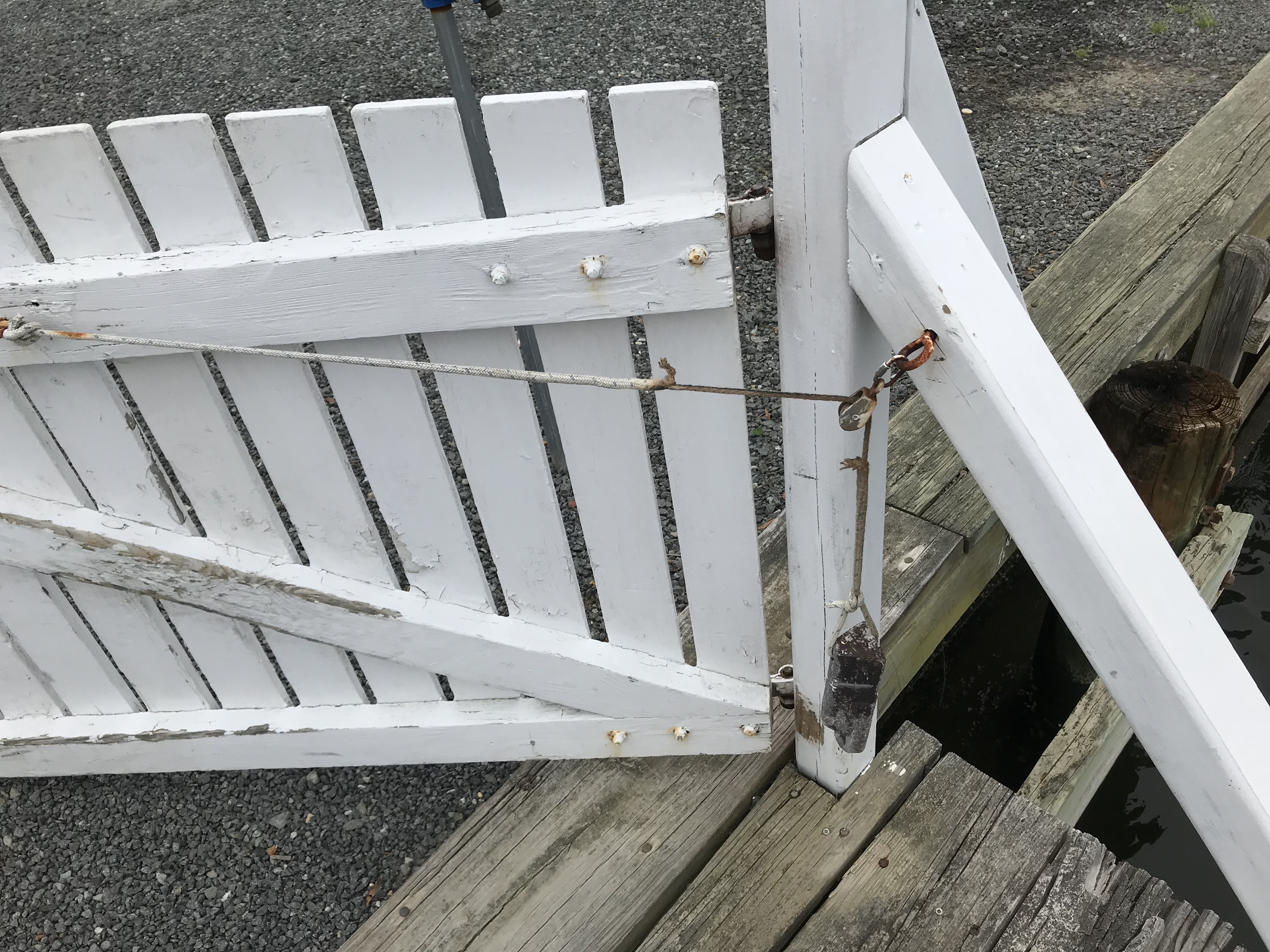
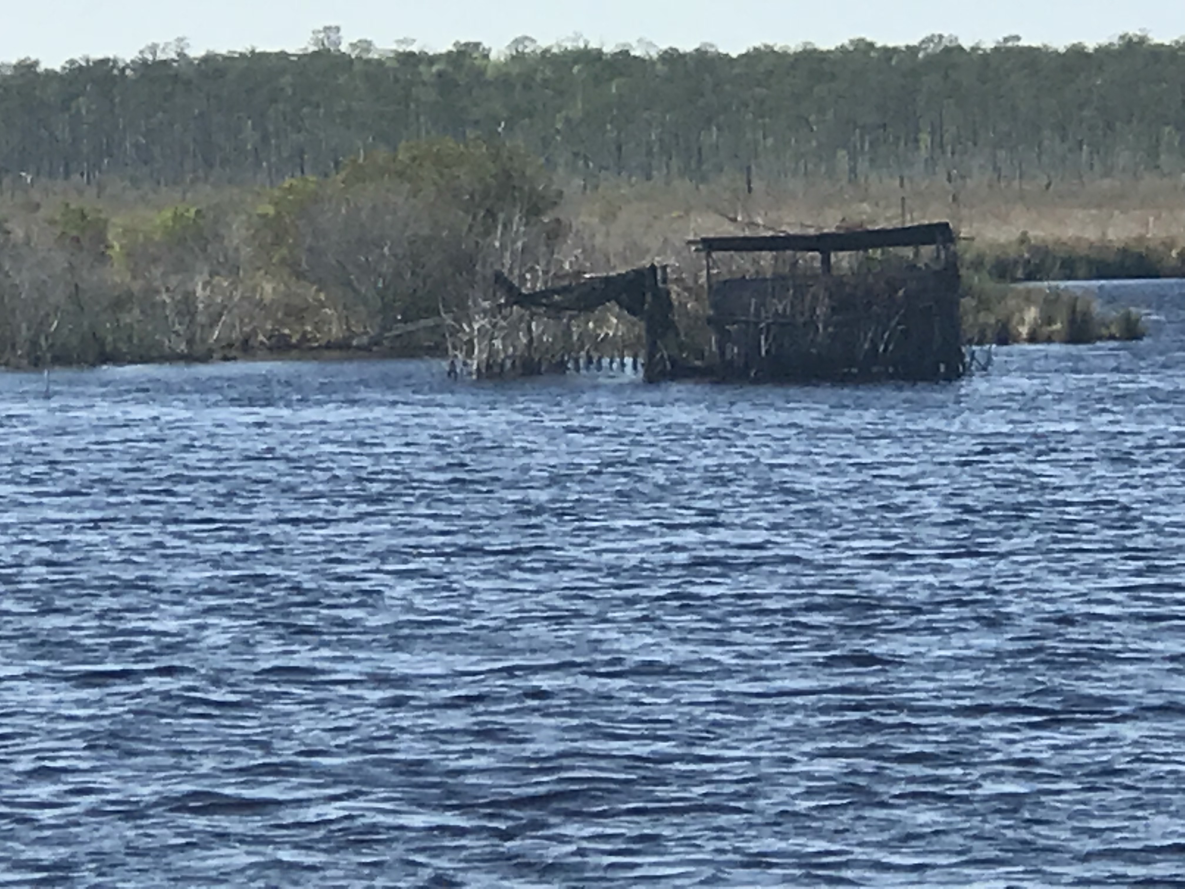
There were hazards that were floating down the ICW like this dock.
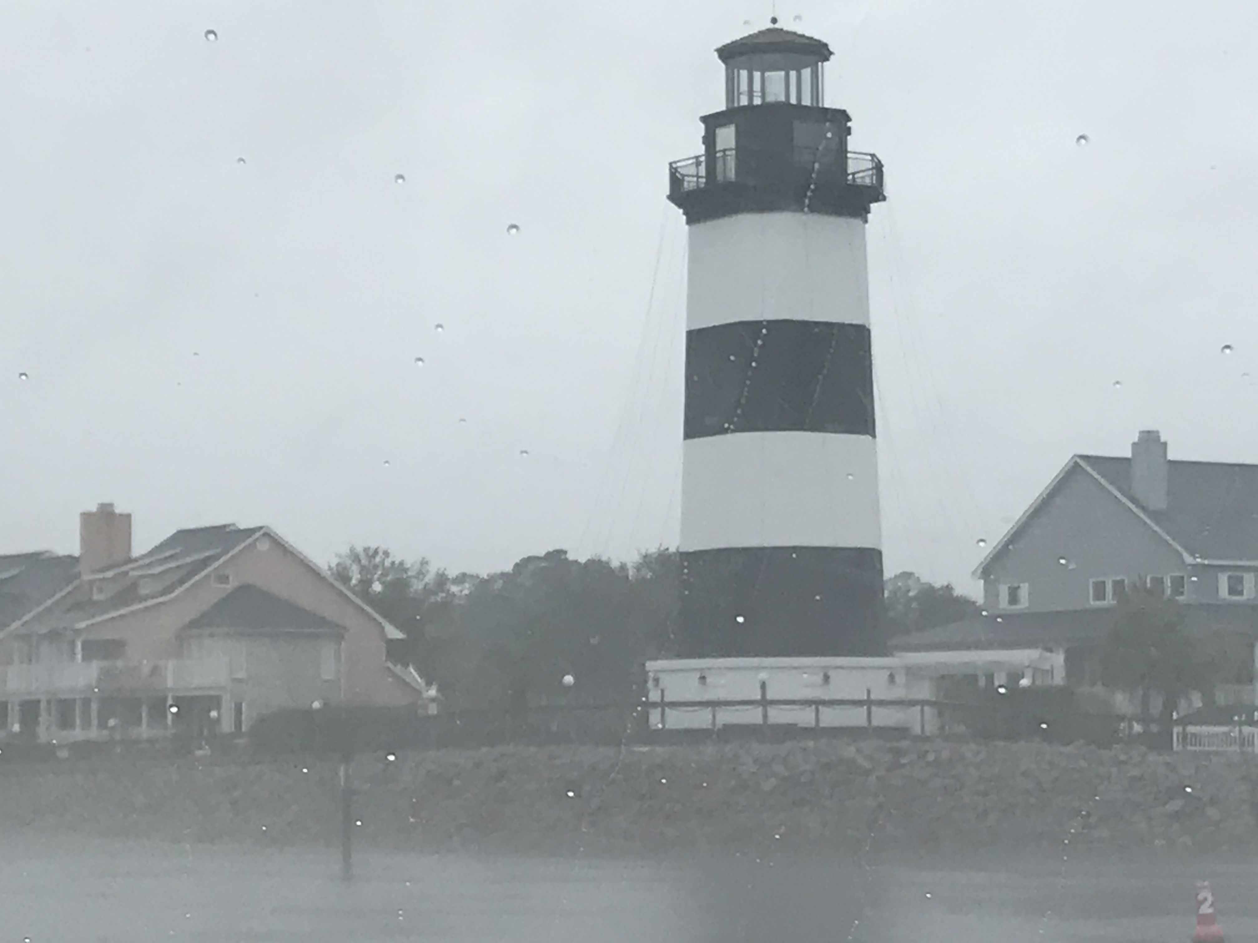
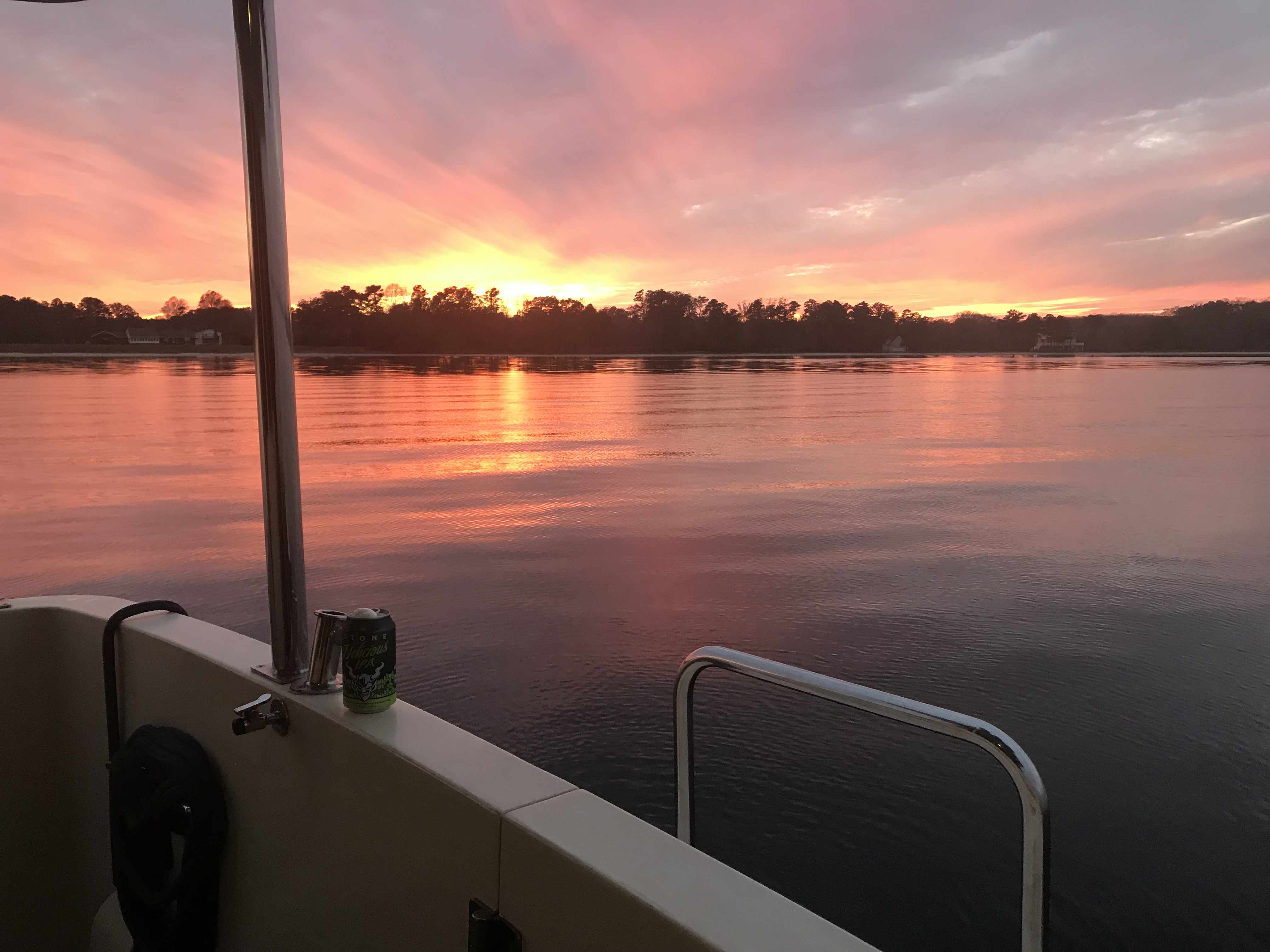
As we came into Myrtle Beach area we started to see lighthouses & golf courses.
-
-
Governer’s Lighthouse, Little River, SC -

-
Myrtlewood Golf Course
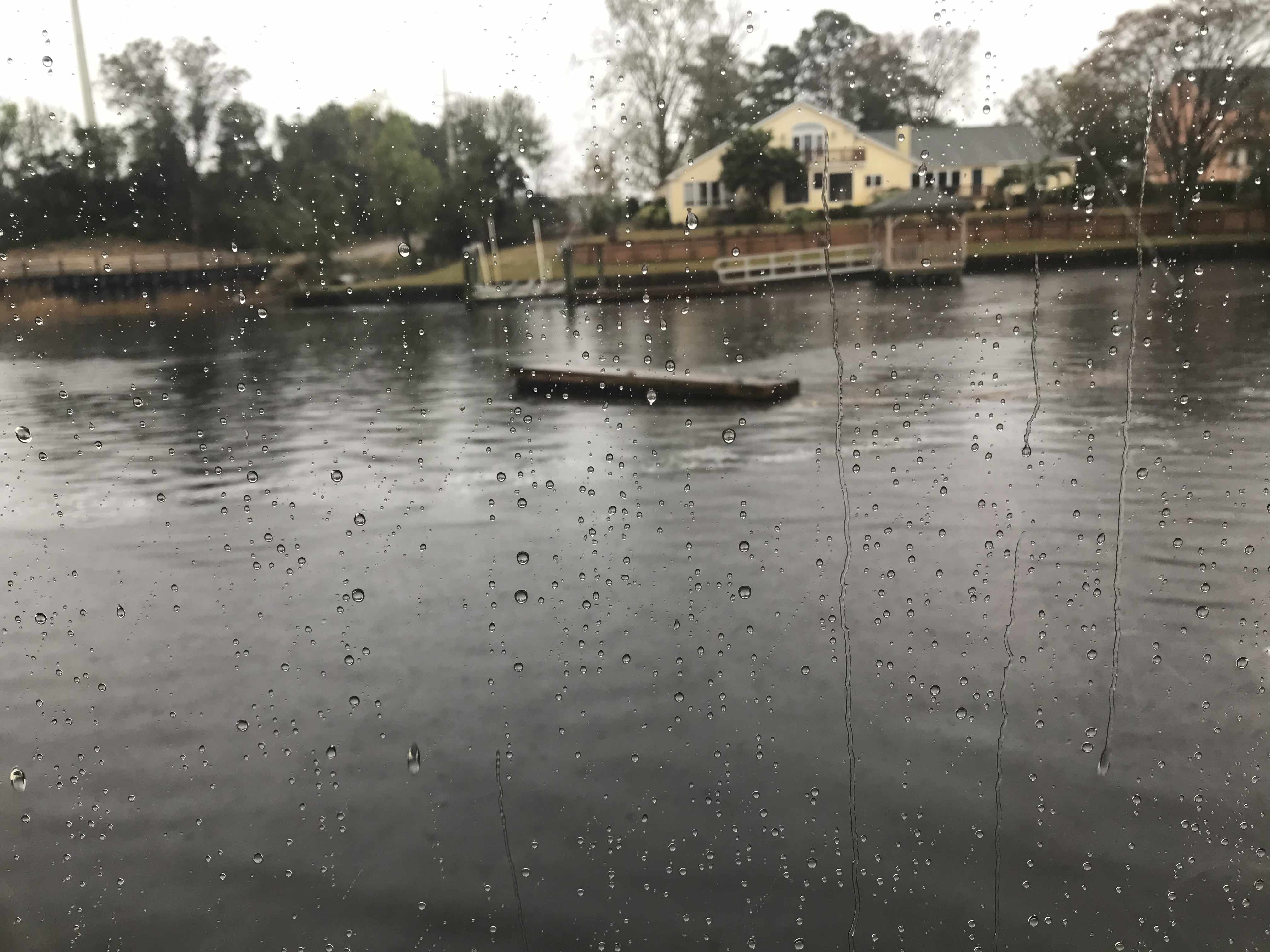
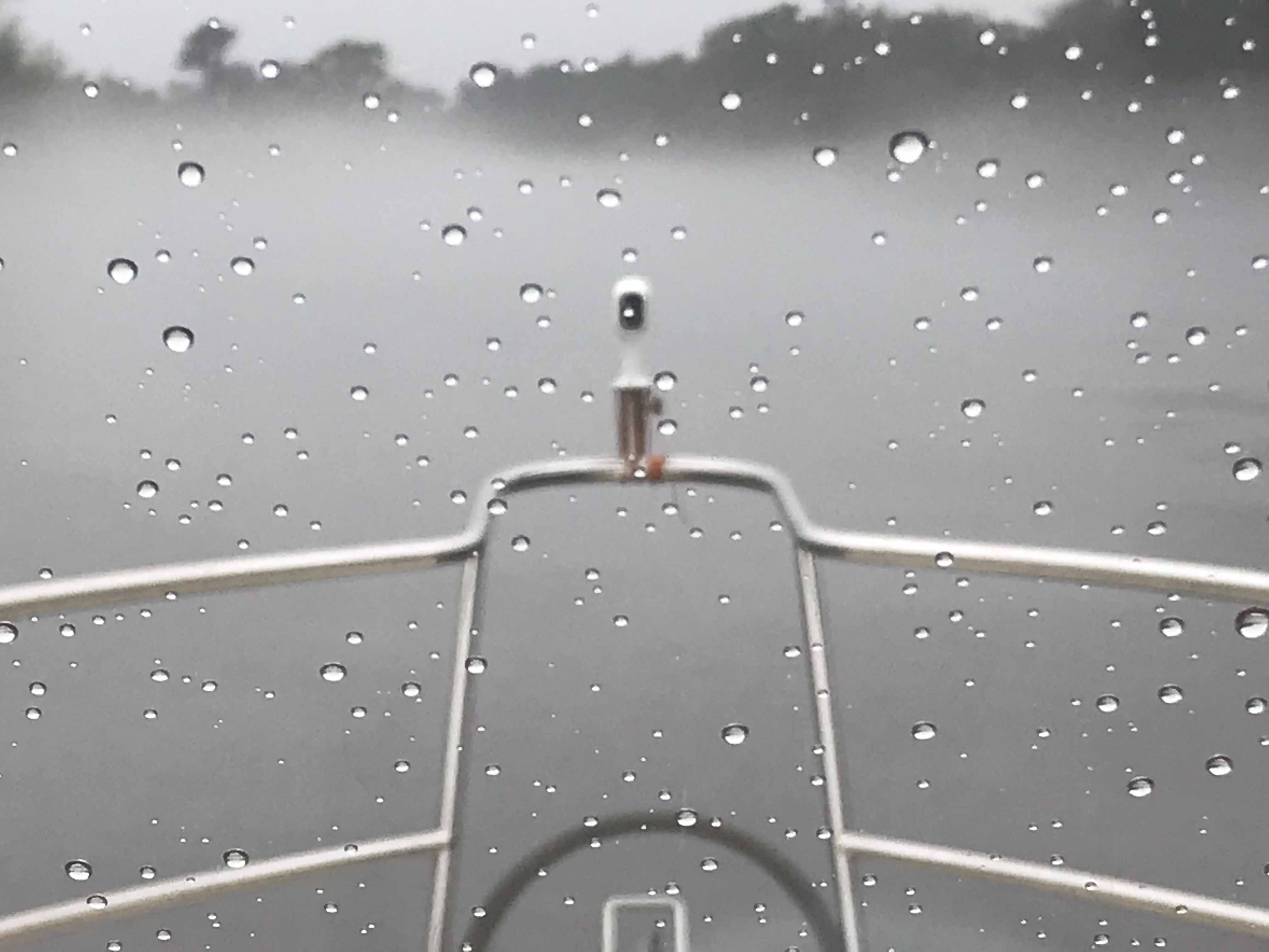
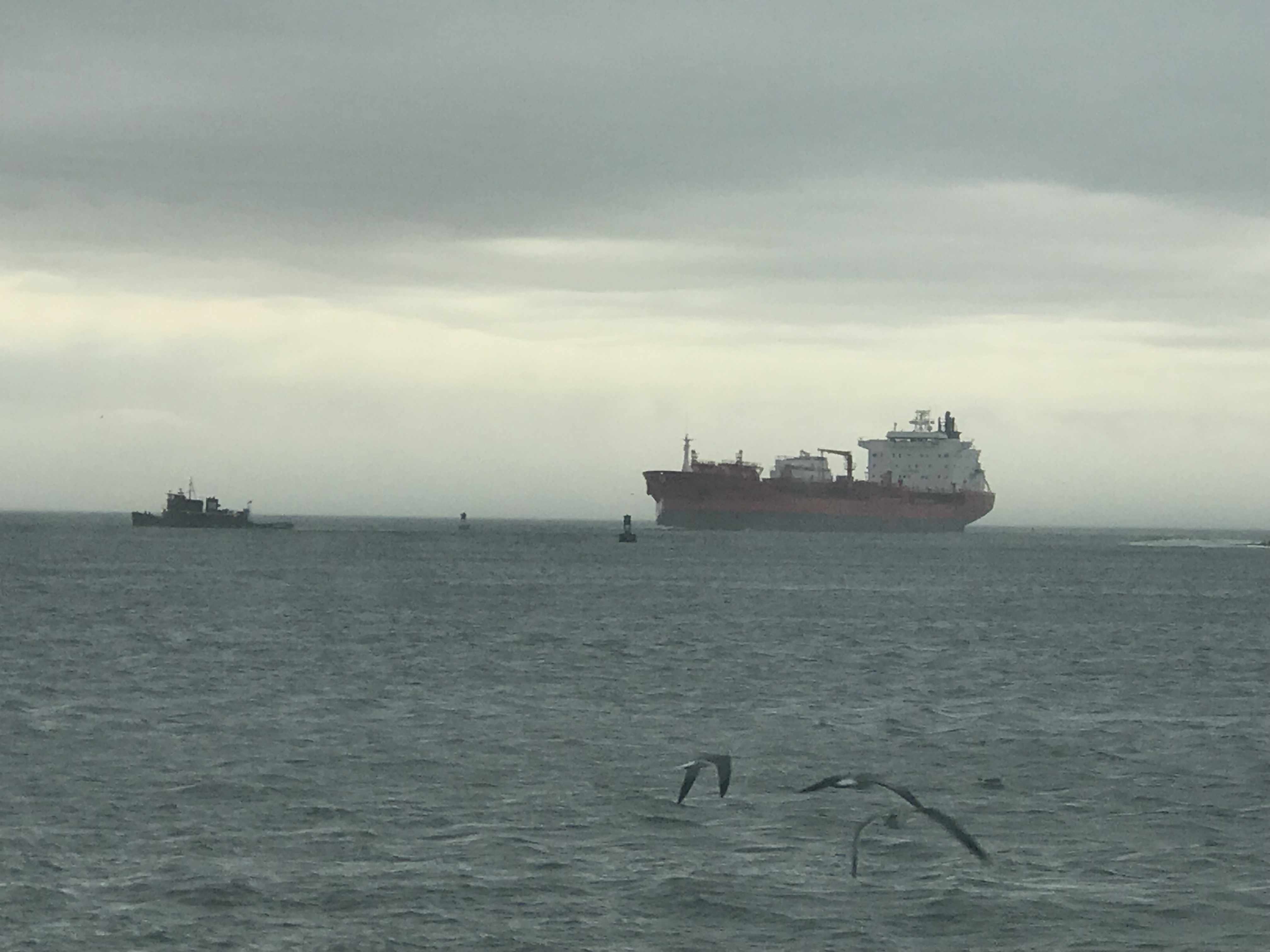
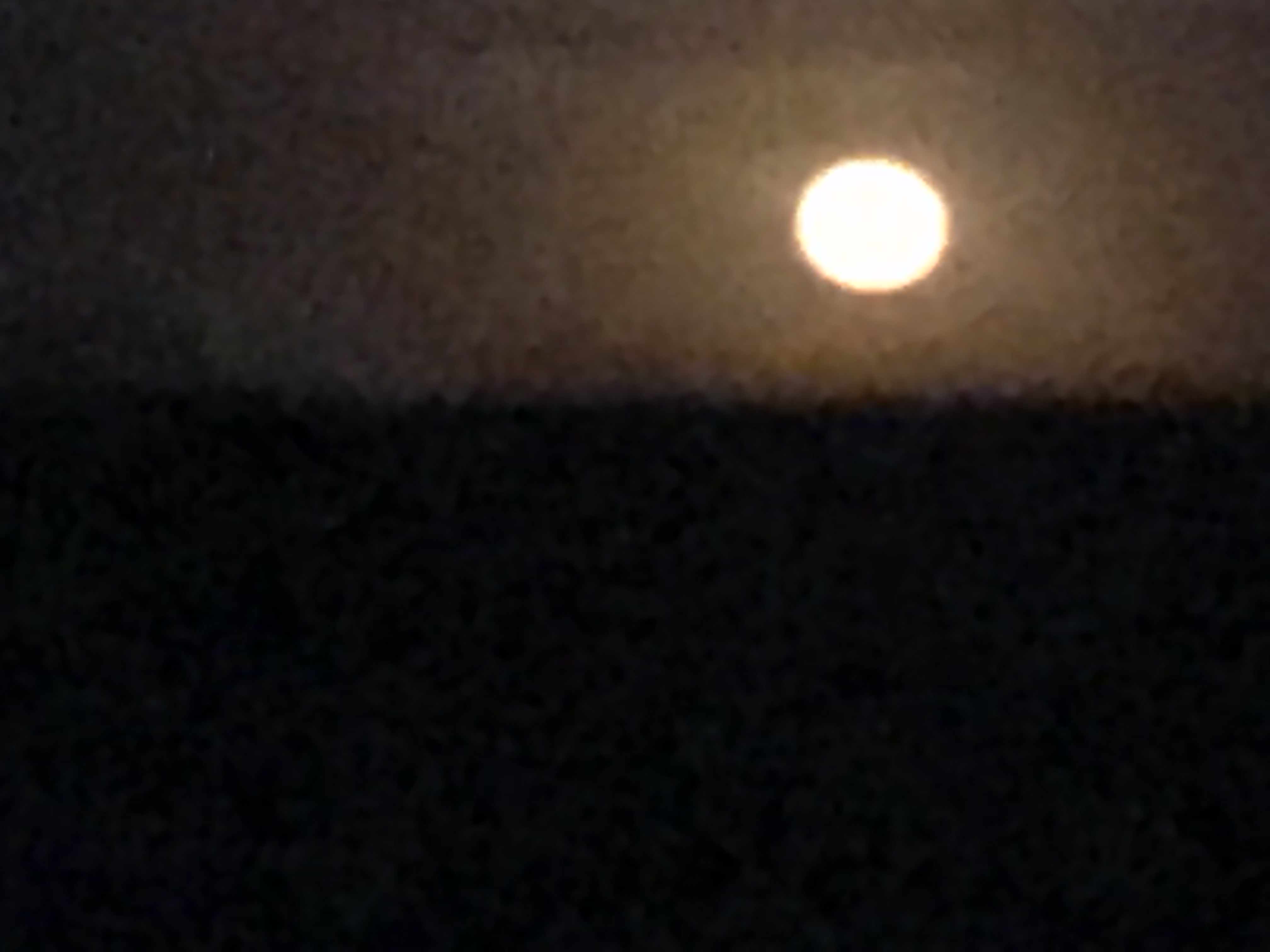
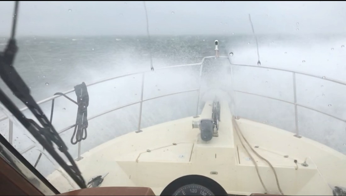
It was raining and foggy.


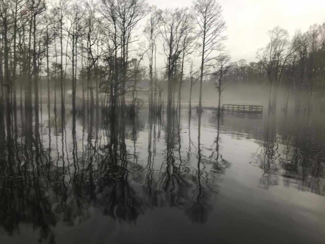
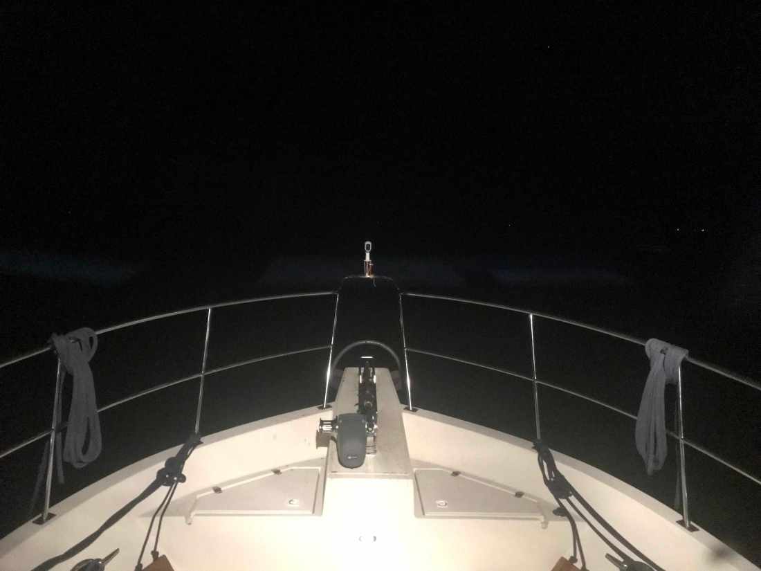
Soon we were tucking into the Waccamaw River to anchor for the night.


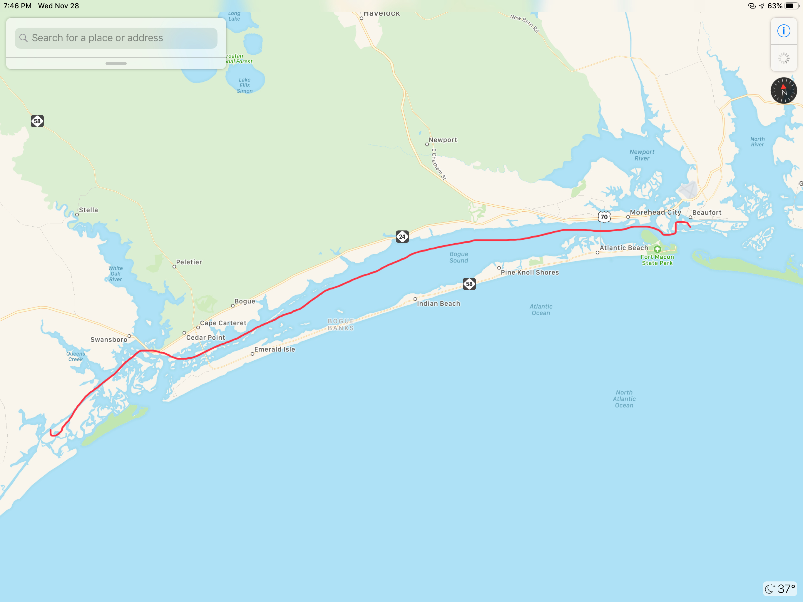
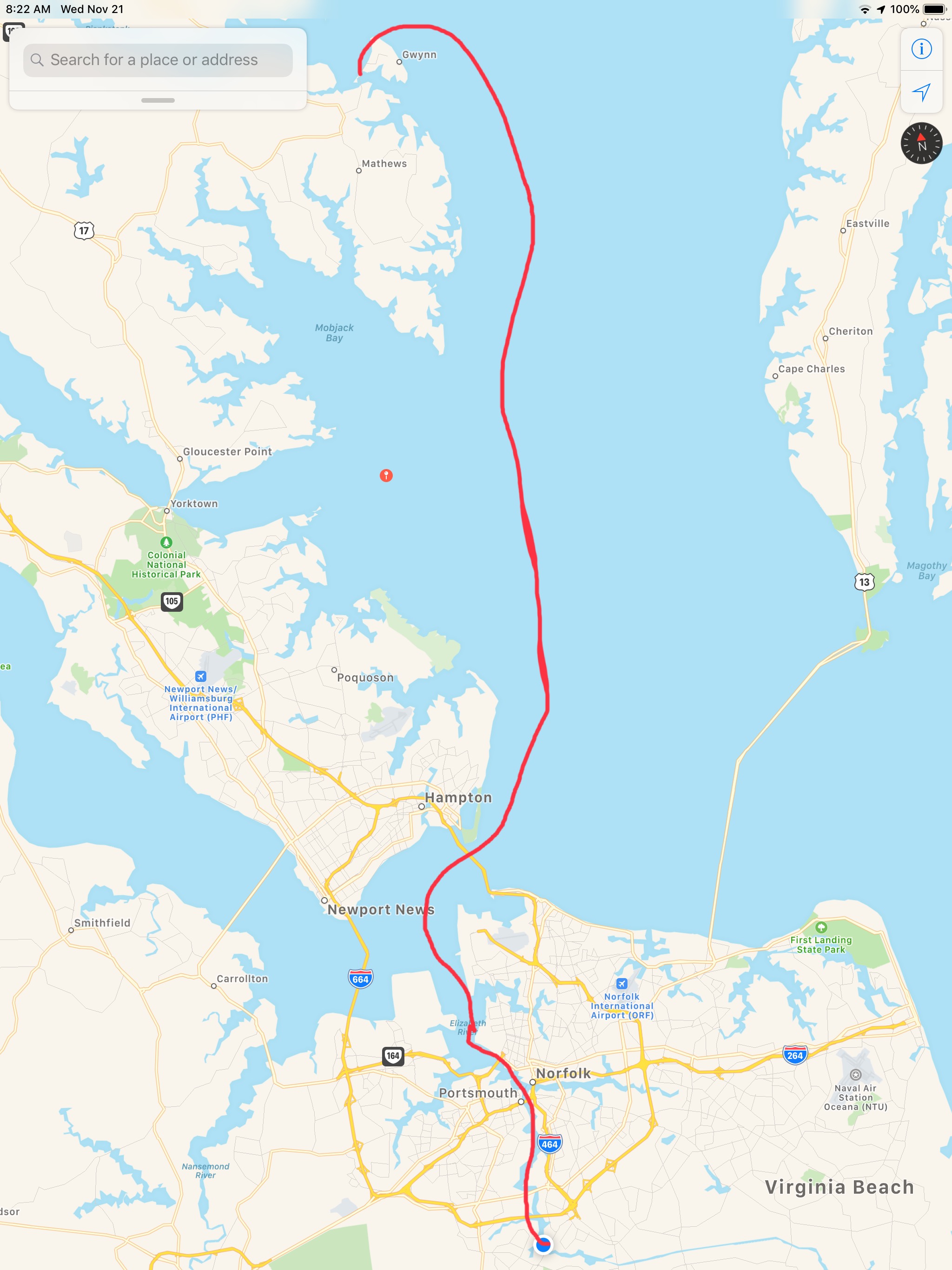
Our leg today looked something like this.


You must be logged in to post a comment.