
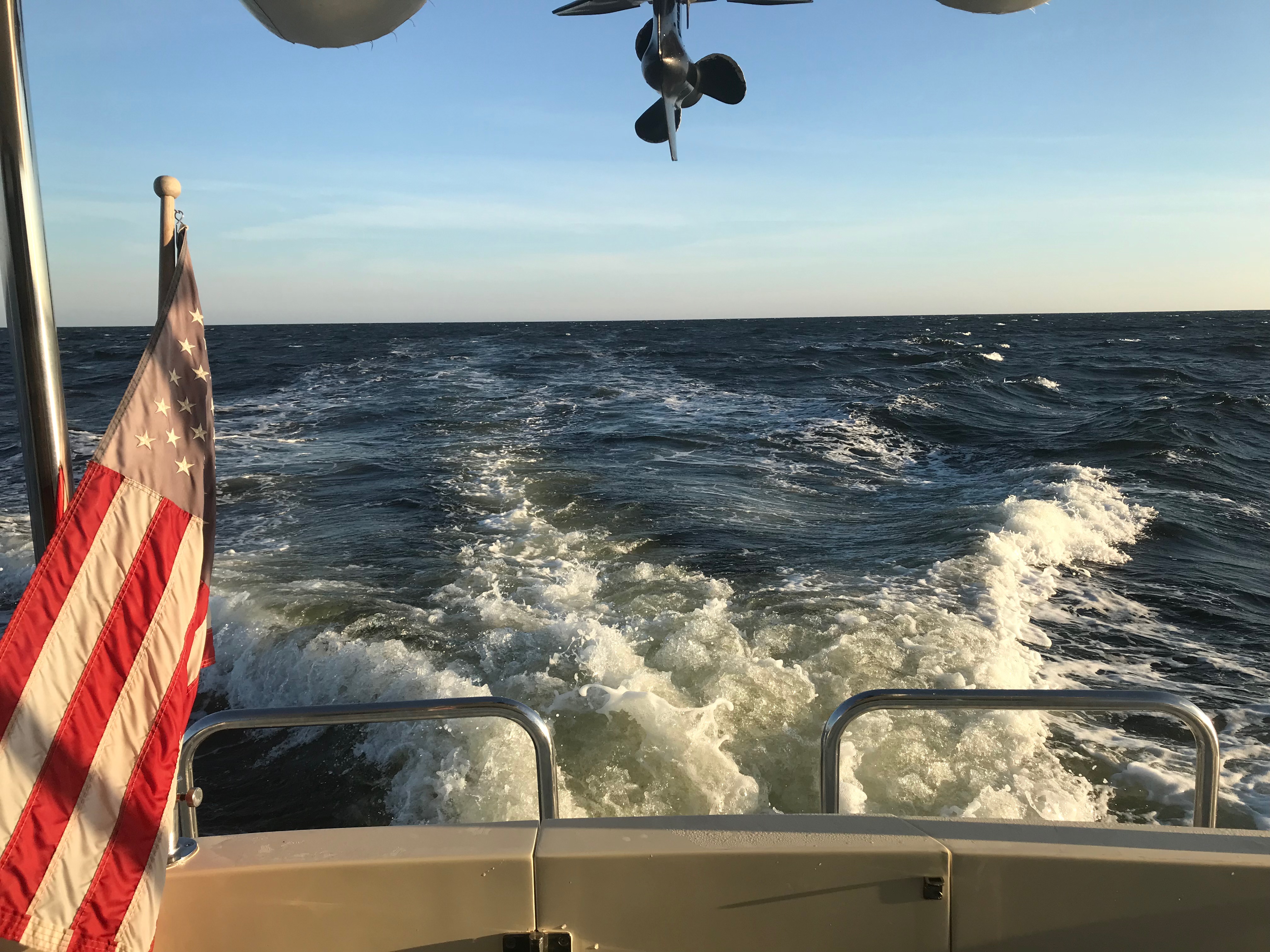
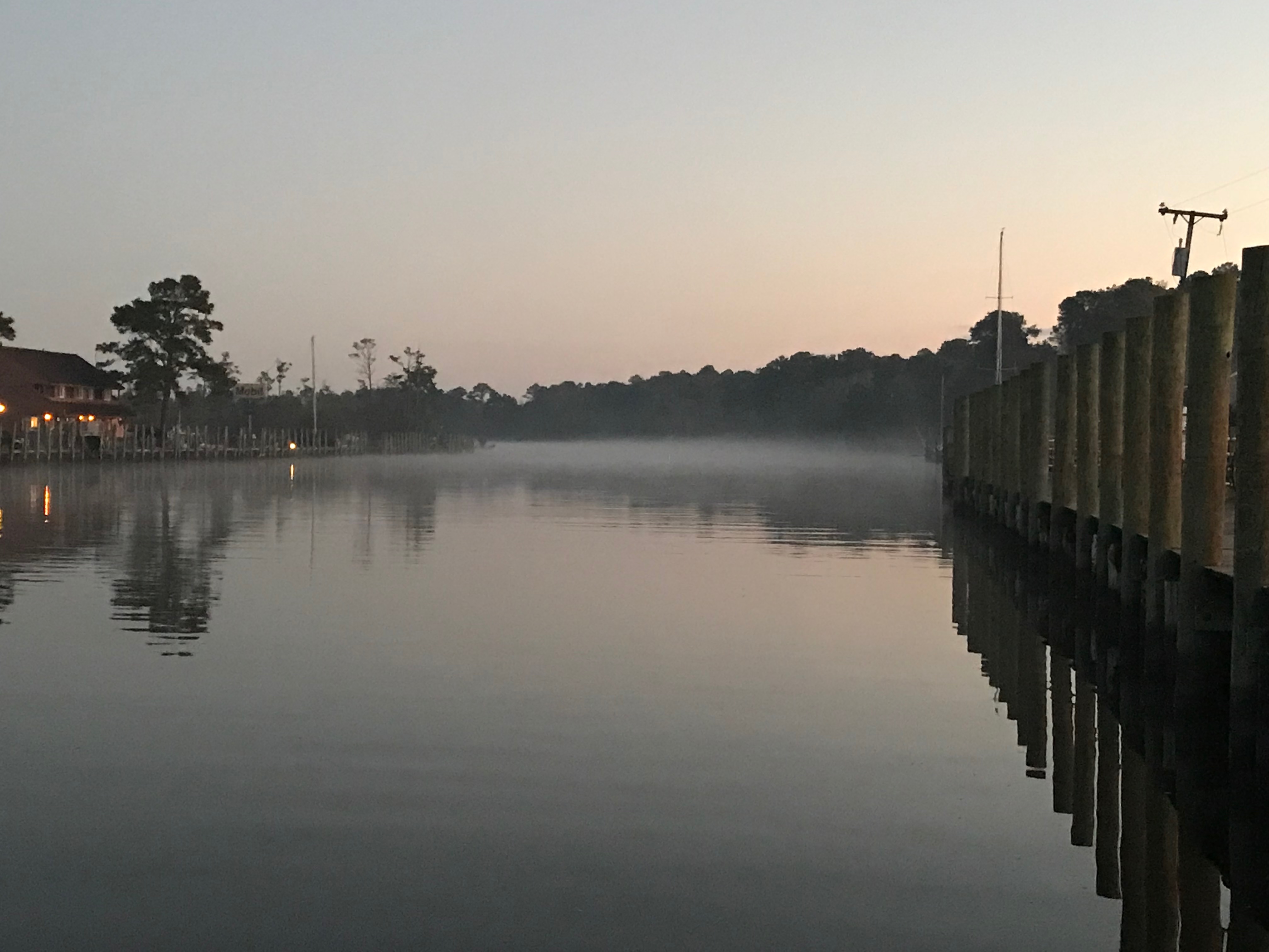
We spent the night on anchor in New Haven Connecticut because the marina we had planned did not have room for us. The anchorage provided decent protection from the south winds in the middle of the night. The next day we set out for Port Washington, NY where we had reserved 5 nights due to a low pressure off the coast that was causing strong winds and waves.
Cruising

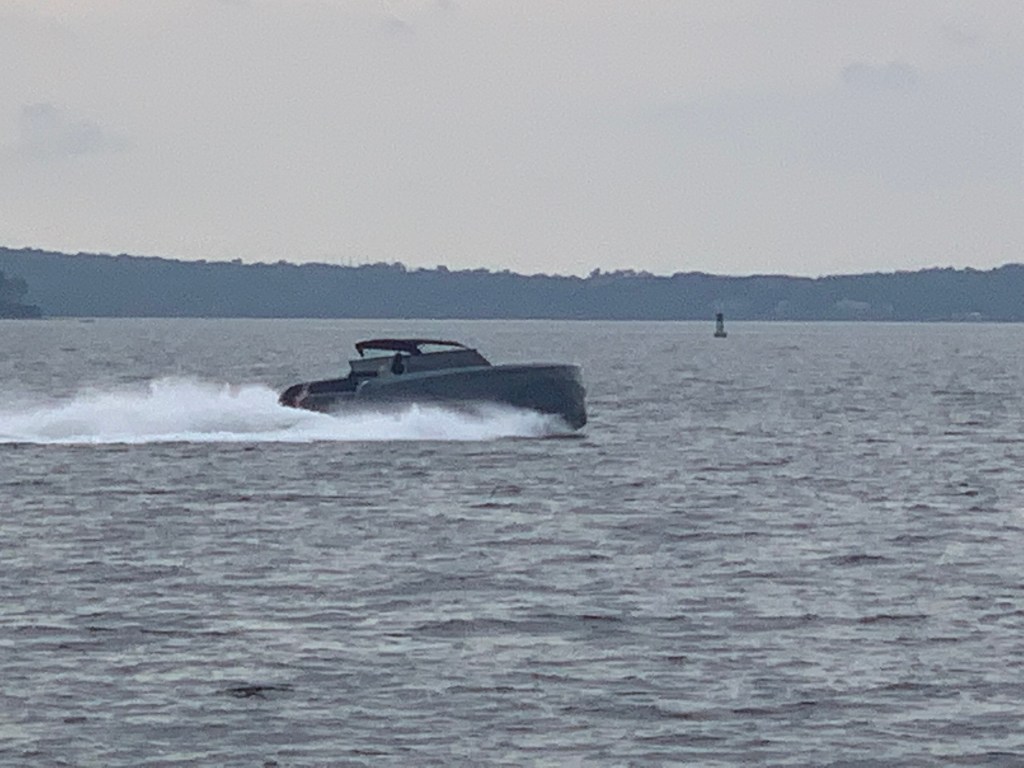
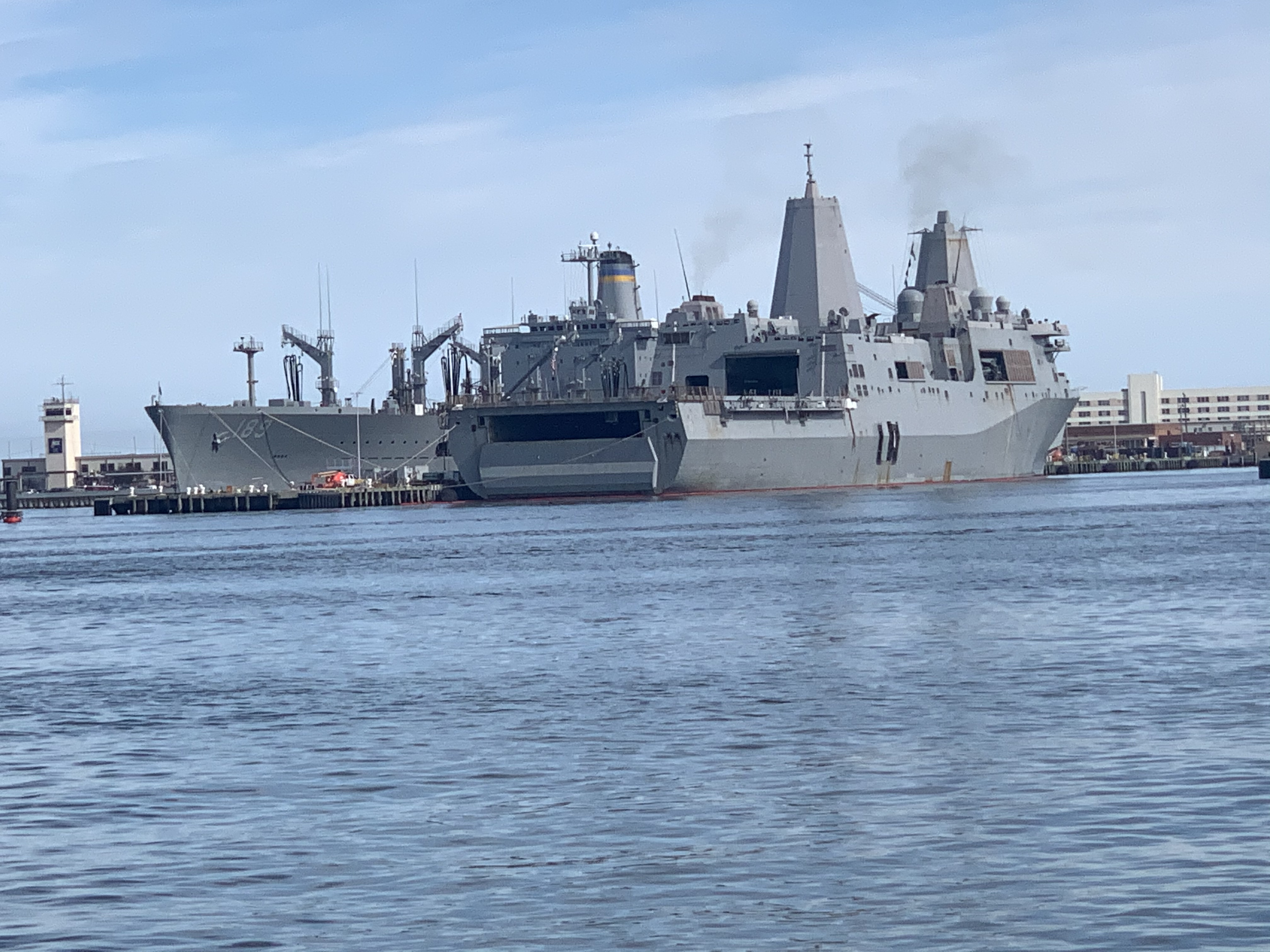
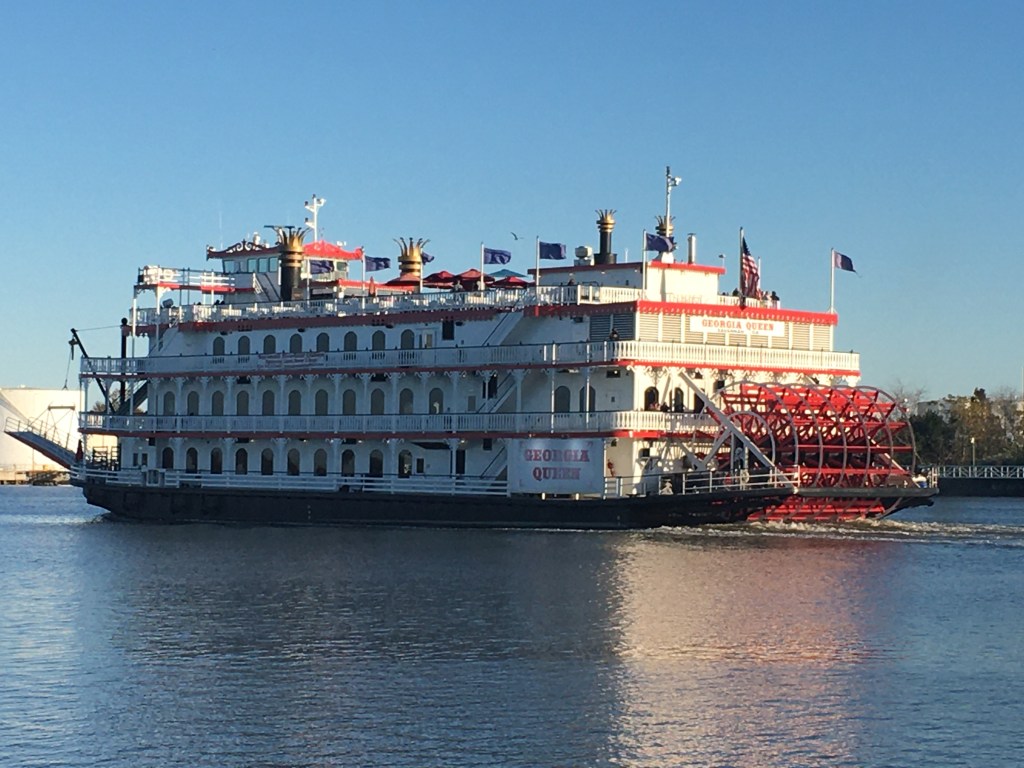
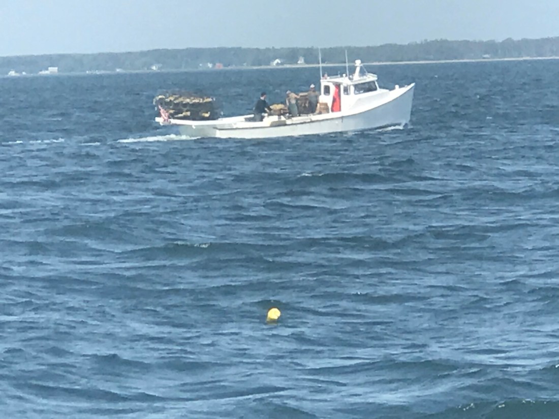
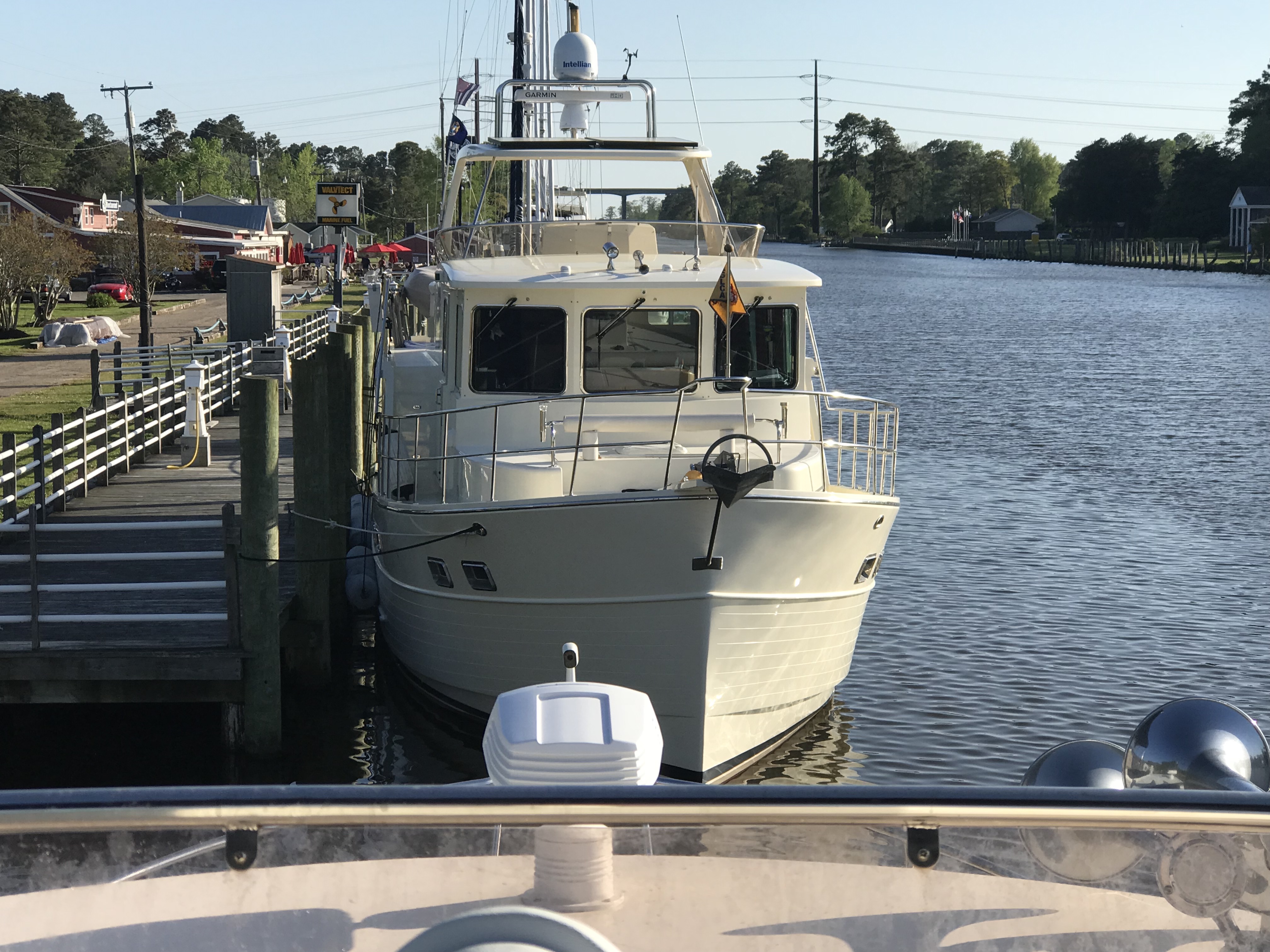
When we weighed anchor and headed out into LIS (Long Island Sound) the south wind was making the boat rock so we headed directly into it until we hit the LI shore and worked our way west to Port Washington. We were passed by this cool looking boat.
Soon we were passing Execution Rocks Light. It has been rumored that the island got the name “Execution” after slave owners murdered slaves by chaining them to the rocks on the island and waiting for high tide to drown them. I can only hope that that horrible story is not true or the way the island came to be known as Execution Rocks.

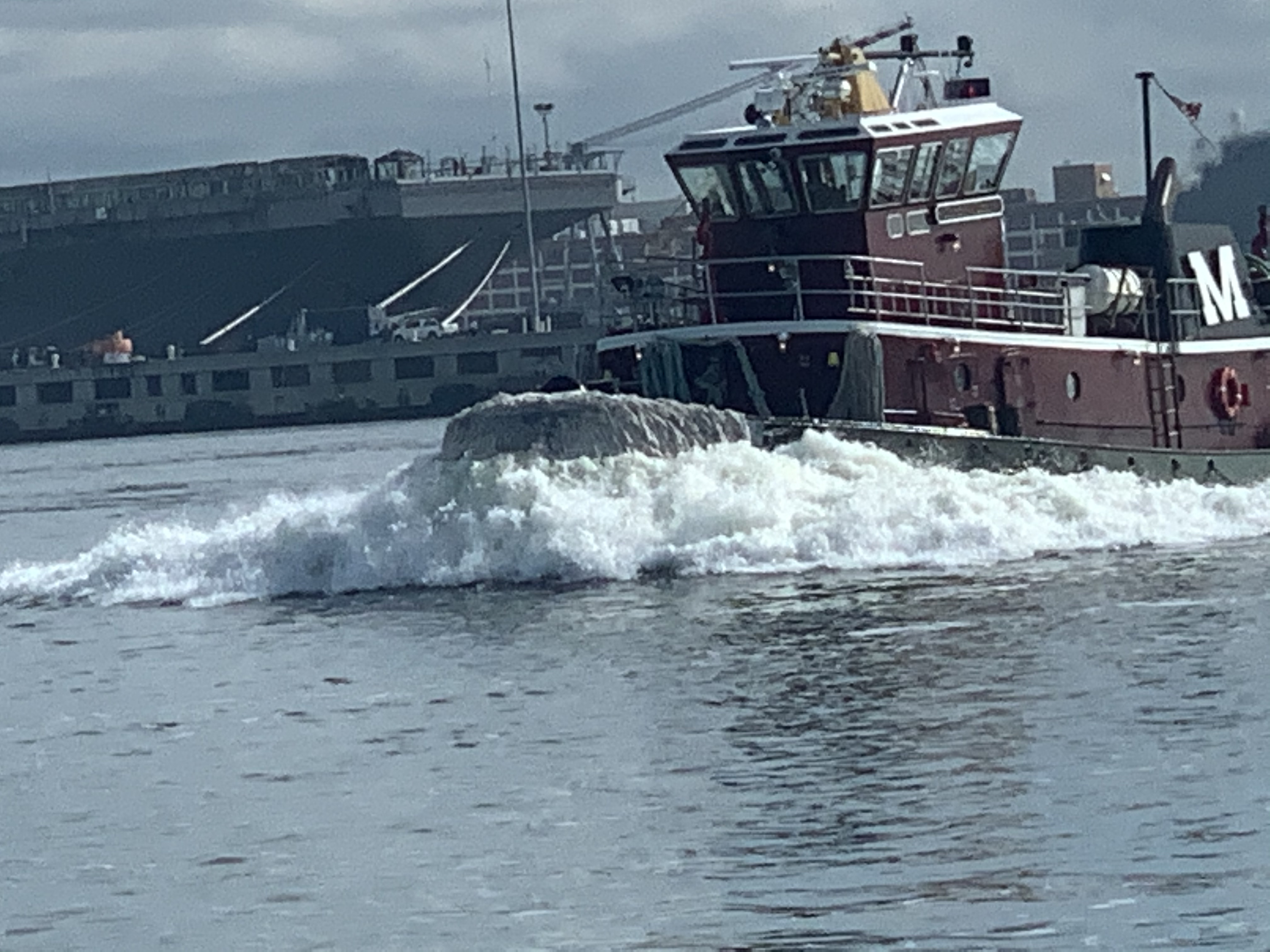
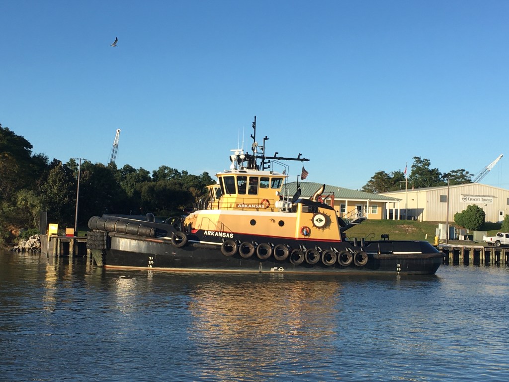
We tied up at Safe Harbor Capri marina in Port Washington and doubled up on our lines for the predicted strong winds. A small tugboat came in behind us.
Tug Boats
Yacht identification is a hobby of mine. I like to guess yacht manufacturers. It’s never easy and rarely can I say with certainty the manufacturer and model of a passing yacht. Some manufacturers make it easy to identify by always incorporating their signature design element into all the yacht models they produce. Even classifying a yacht as a trawler or as a tug boat can start a religious war among other boaters who argue which design elements make a particular boat a tug vs. a trawler vs. a motor yacht, etc. This particular tug intrigues me as most recreational tugs I see are Nordic Tugs, American Tugs or Ranger Tugs. All nice looking boats in my opinion. Less often I see tugs such as the Gozzard Pilgrim 40 (no longer in production) . This particular tug reminds me of a Lord Nelson Victory Tug?

Nordic Tug 49C 
American Tug 485 
Ranger Tug 43′ Command Bridge 
Gozzard Pilgrim 40′ 
Lord Nelson Victory Tug 37′
Damaged Radar
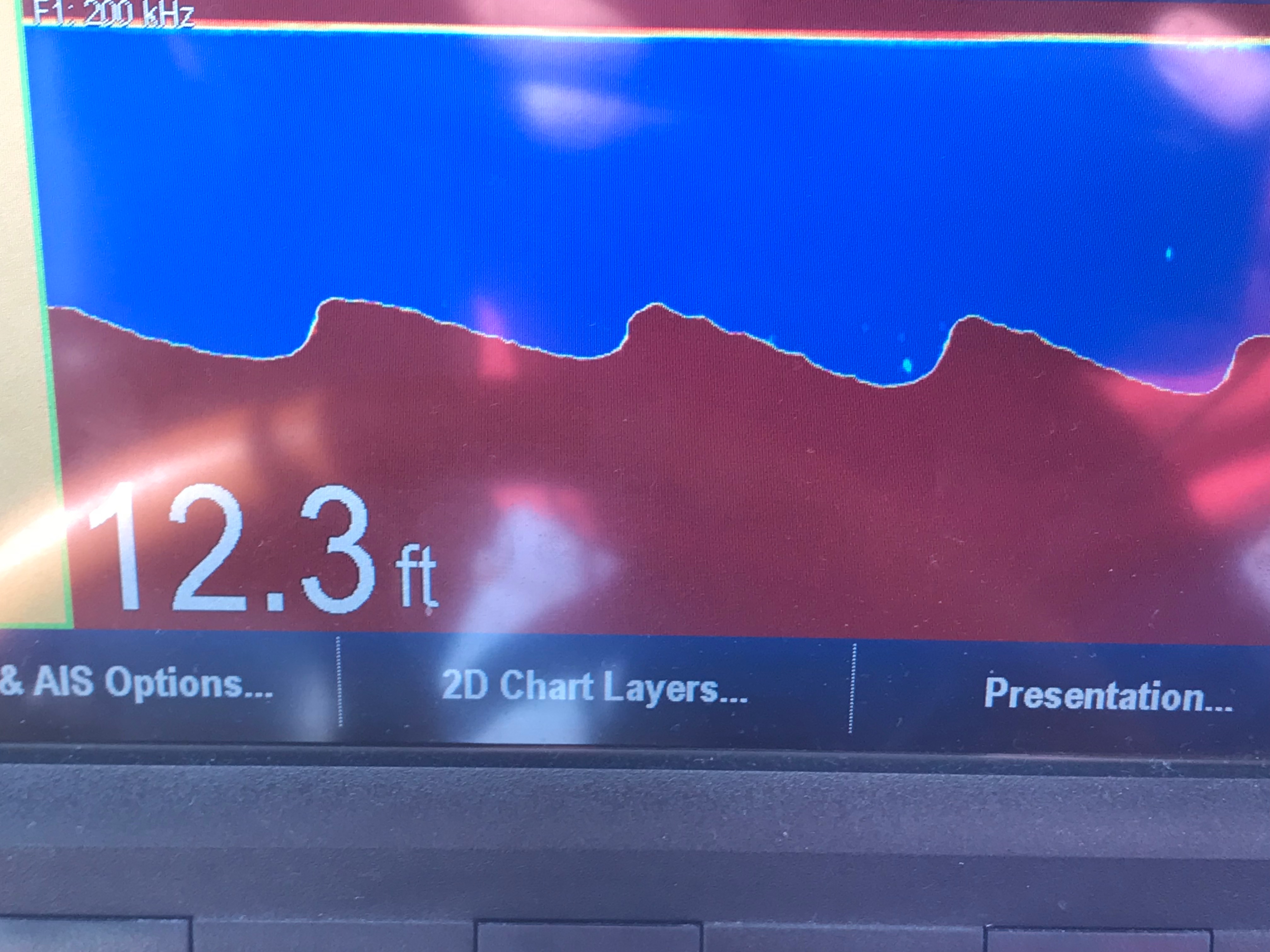
When we arrived I planned on repairing our Furuno 1942 MK2 marine radar system which had stopped displaying targets shortly after we anchored next to the USCG boat in Fishers Island. I often wonder whether powerful military style radar systems that output much higher power microwaves can damage our low power 6.0 KW system?

Once when I was near Naval Submarine Base Kings Bay there was military testing operations going on around me. The warship hailed me on the VHF and warned that if I got within a mile of their vessel that it may result in damage to the sensitive electronics aboard my yacht. That started me thinking… it would be useful for military ships to be able to damage the sensitive electronics on a hostile boat by emitting a focused high energy pulse. Older style marine radars like our Furuno 1942 MK2 (circa 2005) emit analog microwaves using a magnetron like you find in your household microwave oven. These magnetrons have a predictable lifespan. Newer marine radars use lower power digital rather than analog microwave emissions.
Electronics Upgrades
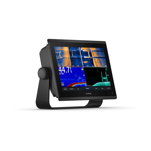
After diagnosing the radar I believe our magnetron had given up the ghost. We need to have radar to travel safely so I ordered a new modern radar system as well as some other electronic navigation upgrades.
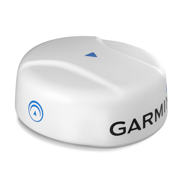


- GMR Fathom 24 Radome
- gWind Wireless 2 Wind Speed / Direction Transducer
- GMI 20 Display Instrument
- Scanstrut PTM-R1-1 Tapered Mast
- Garmin GPSMAP 1243xsv MFD (multi-function display)
Train Ride to the City
It would be days before I could have the needed electronics delivered to the marina so we decided to go into NYC and visit my nephew who was living and working in the city.

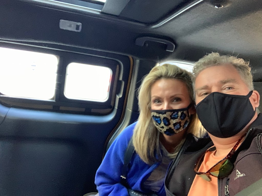
We took an Uber to the Port Washington station and hopped on the LIRR (Long Island Rail Road) into NYC (about a 45 minute ride)
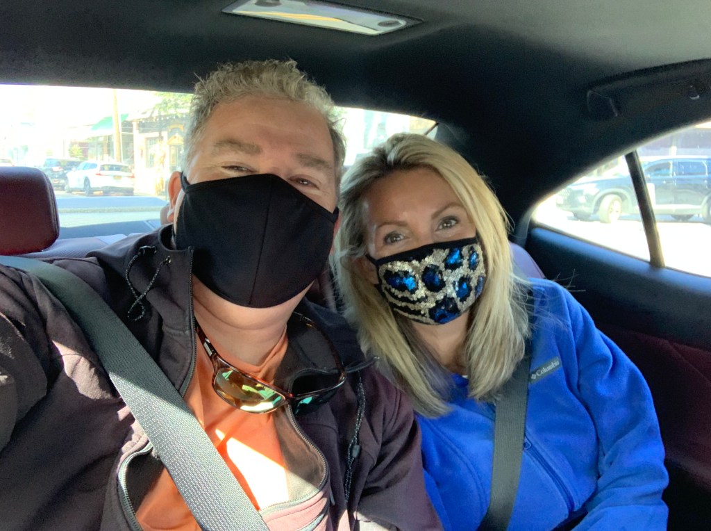
Uber Selfie 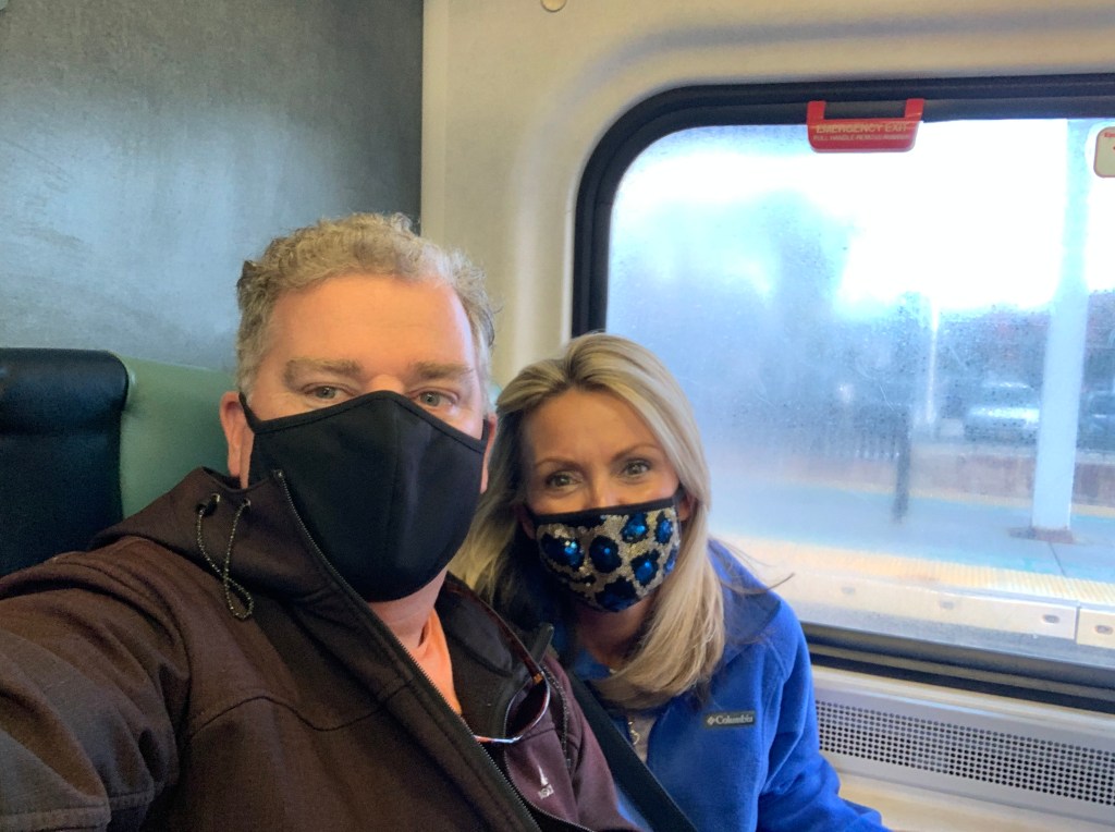
LIRR Selfie 
Rail Car
We arrived at Penn Station and should have just walked to upper Manhattan but we decided to take a NYC cab ride instead.
NYC Cab 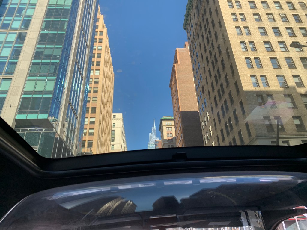
NYC Cabs Have Sunroofs So You Can Look Up!
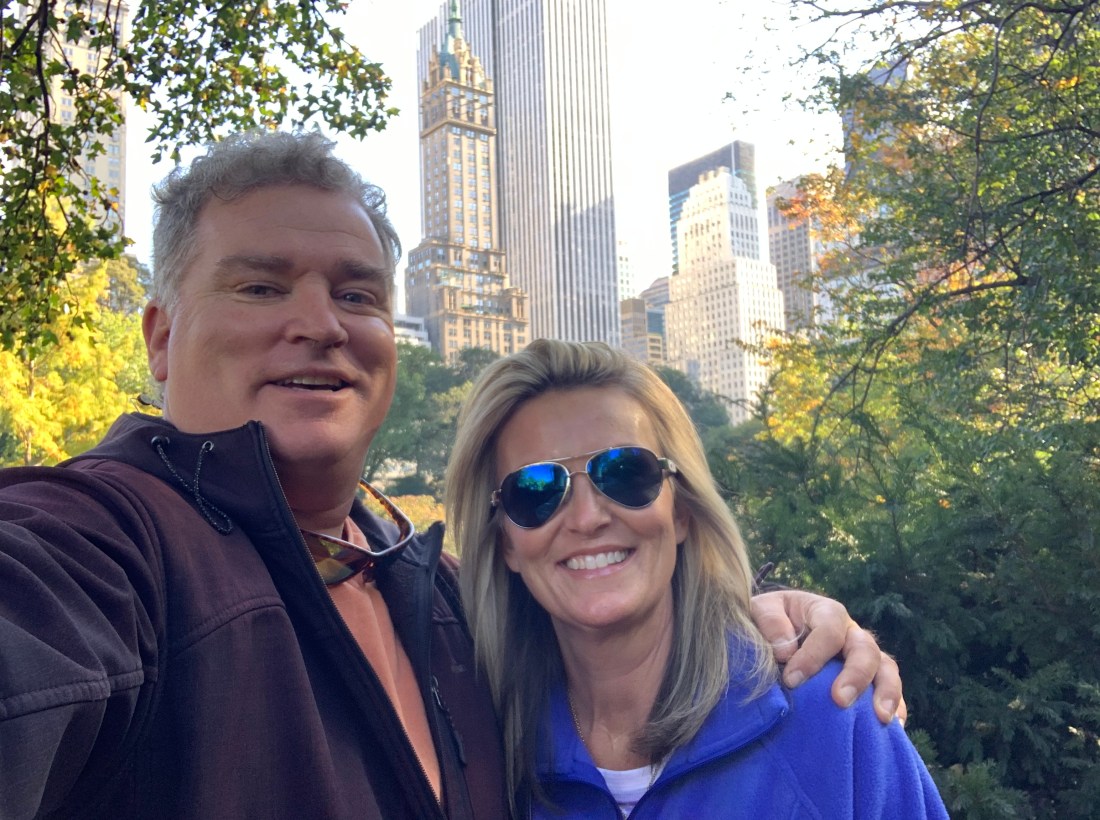
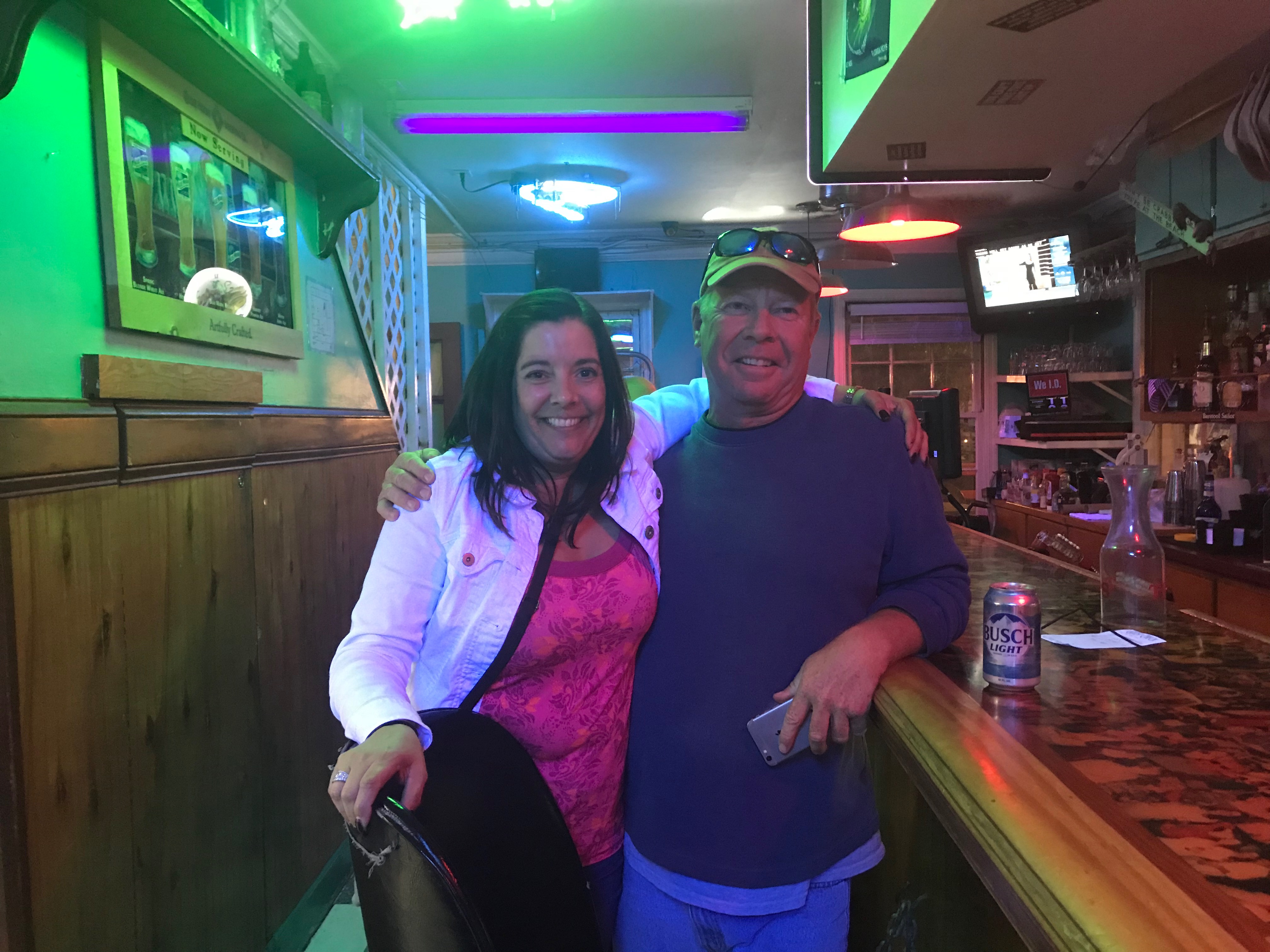
Colin
Waiting for us when we stepped out of the cab was my nephew, Colin who we were very happy to see. We. made him take pics with both of us for the blog. Either we are very short or Colin seems to get bigger every time I see him.

Marty & Colin 
Teresa & Colin
We grabbed lunch at a great little middle eastern deli and Colin had to run back to work. We thanked him for showing us around and we headed off on foot to Central Park just a block or two away.
Central Park


Corner of Central Park 
People Laying on the Grass 
Another Corner
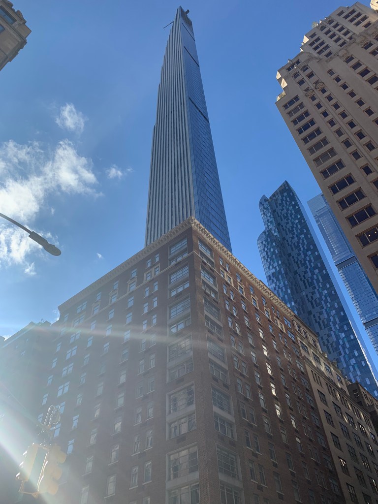
Steinway Tower (Worlds Skinniest Skyscraper)
I recently watched a video about the construction of the Steinway Tower masterpiece of engineering on Billionaire’s row


The Sights
As we walked downtown in search of a decent pub we saw many interesting sights.


Times Square
When we arrived at Times Square we took a moment to look around
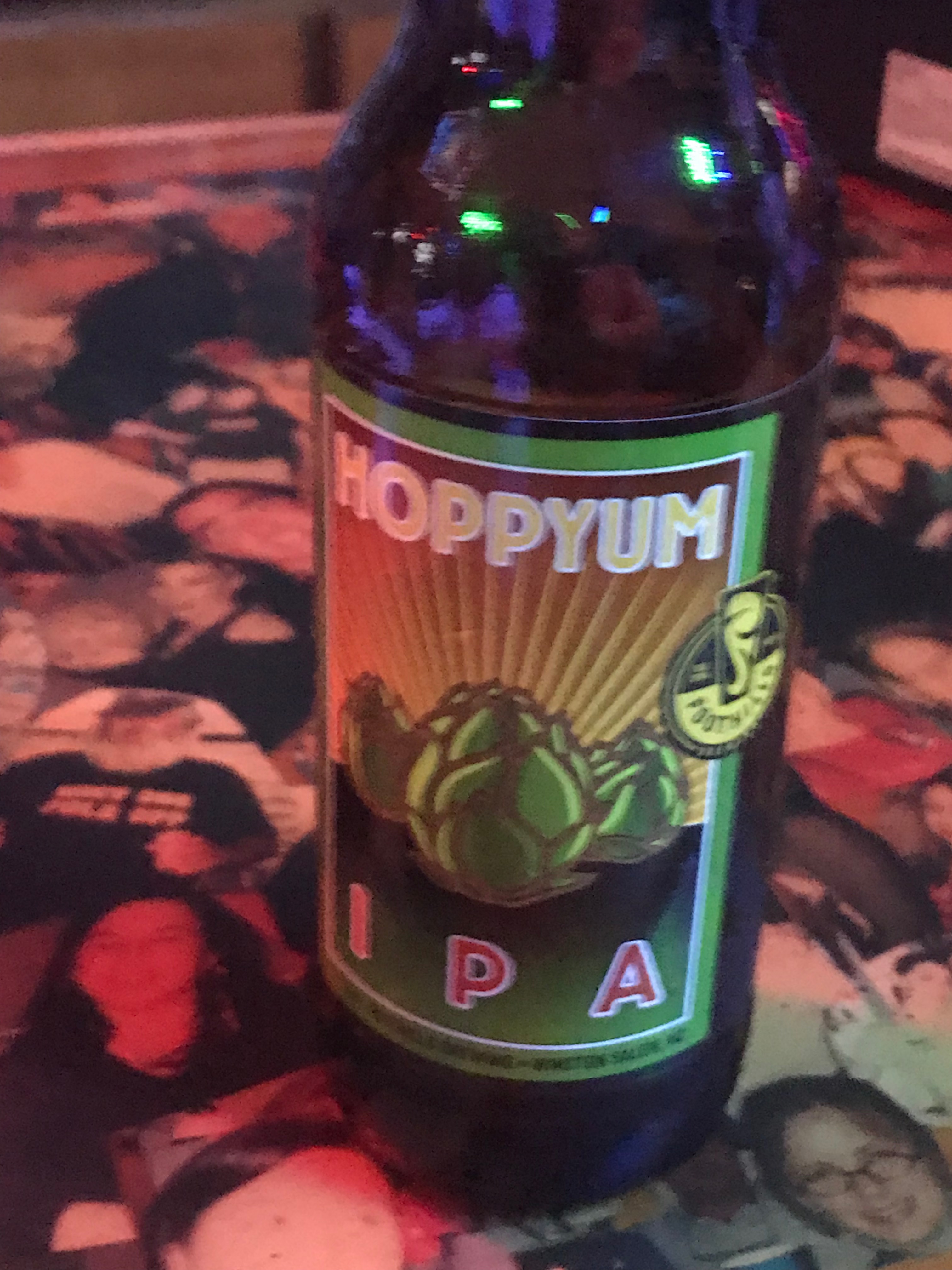
By this time our feet hurt and we both agreed we needed a margarita and an IPA. It was almost Margaritaville until it was the Yard House.

Times Square 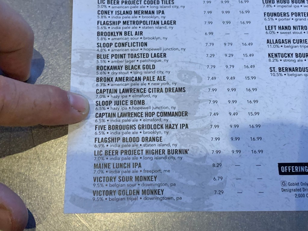
Sloop Juice Bomb 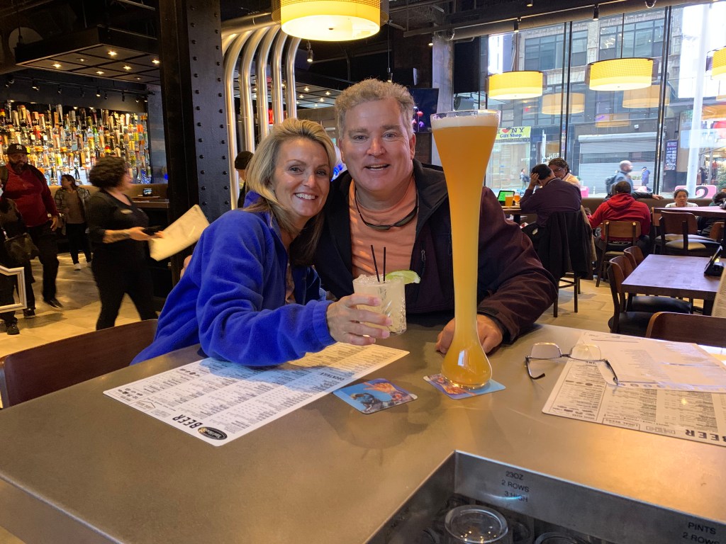
Yard House 
Margaritaville in Times Square
On the way back to Penn station Teresa hailed a cab and instead a strange man pulled over and said he was a cab. We both laughed thinking our parents had told us never to get in the car with a stranger but we hopped in anyway. It turned out to be a $20 ride to go the short few blocks to Penn station but our sore feet said it was worth it.
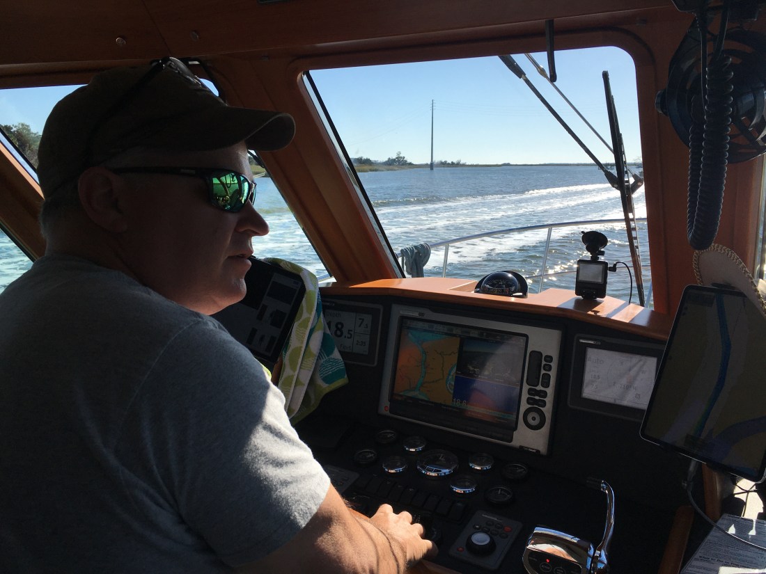
Work on the Boat
Back on the boat and some of the new electronics had arrived. I quickly began to wire them up in the pilothouse to test before the actual installation.

Testing connections 
System Devices Query 
24″ Radome
Now hopefully the removal of the old radar and install of this new tech goes smooth tomorrow… Stay tuned.


You must be logged in to post a comment.