Floating above the seabed,
Chained to the ground,
Waves of energy roll through me,
Riding the edge of sleep.
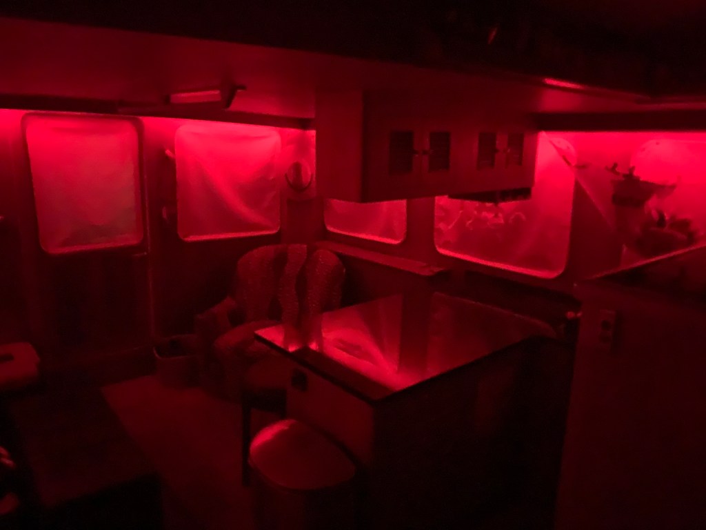
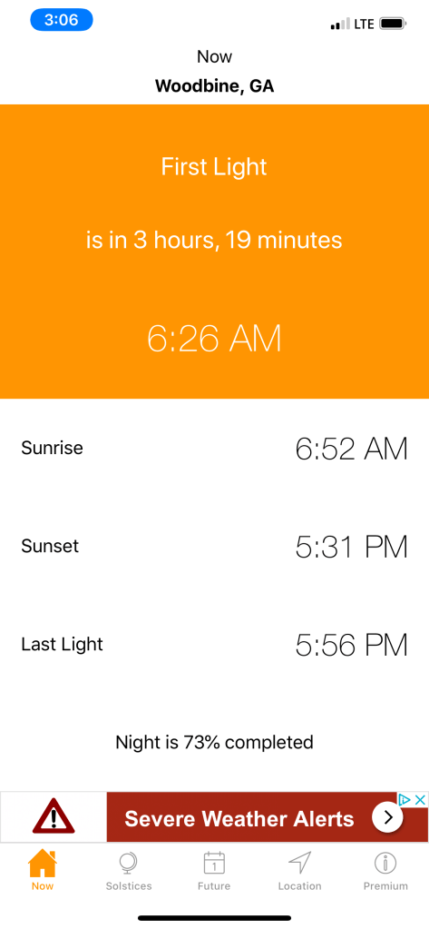
First Light
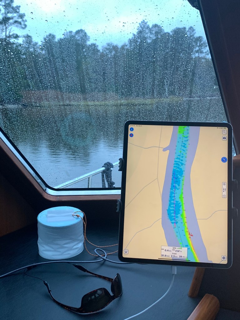
I awake. It’s still dark. Why I can’t sleep late? Instead, the smell of coffee wafts.

Drizzle Smizzle
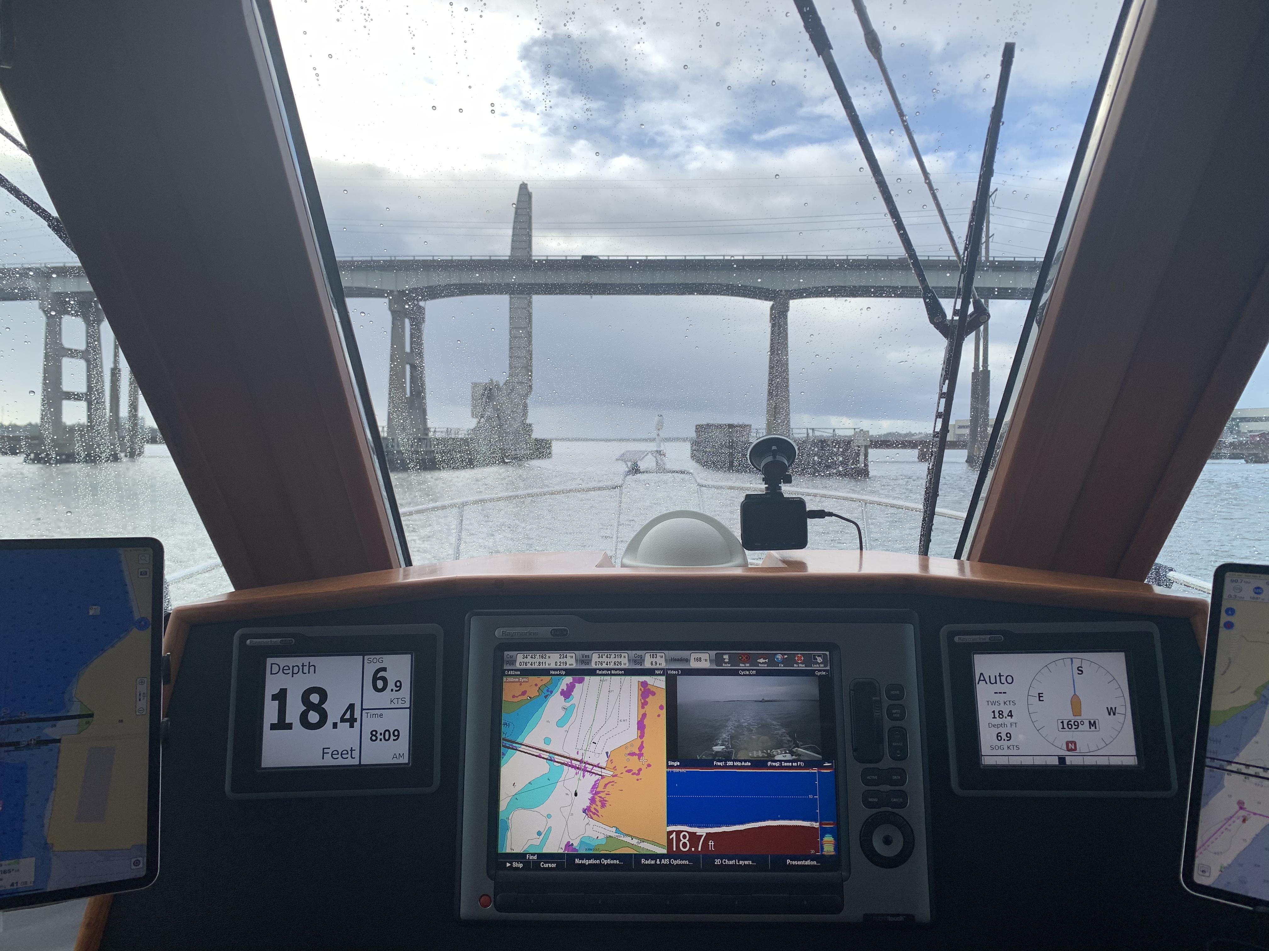
As I make my way down Adam’s Creek the drizzle can be seen on the pilothouse glass.
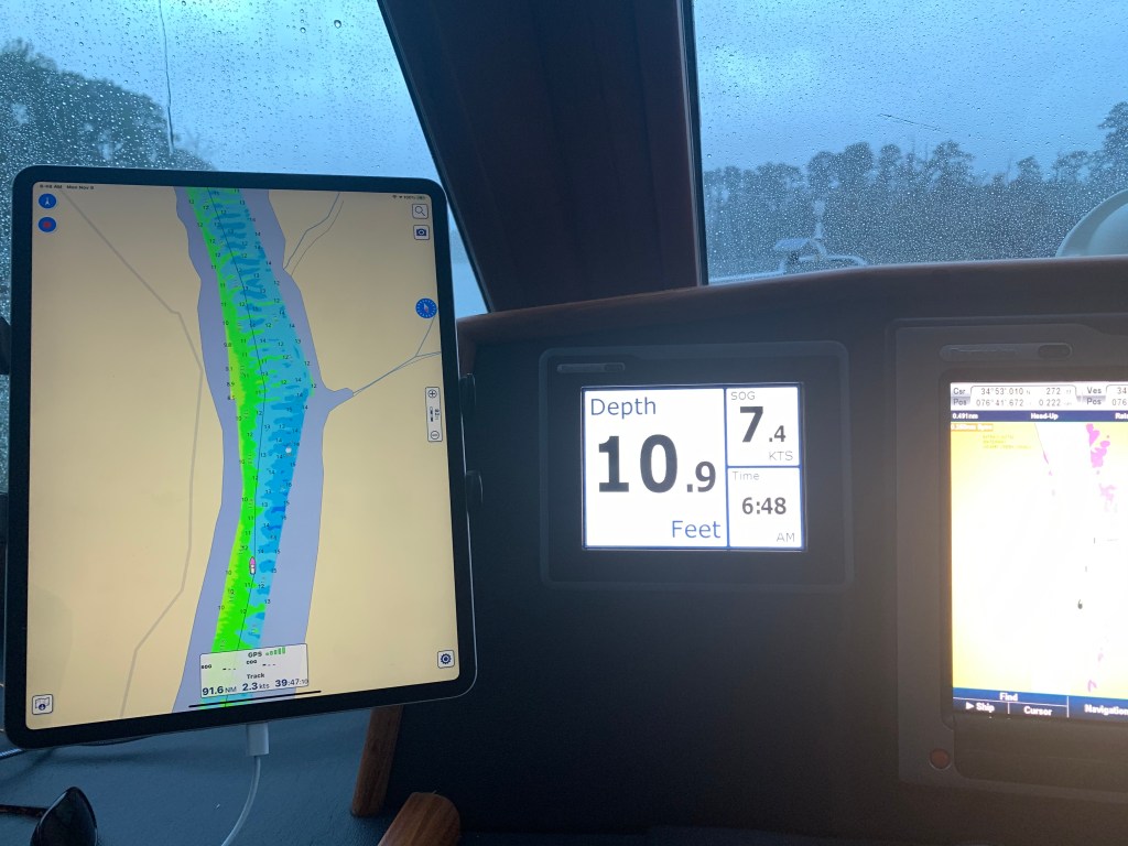
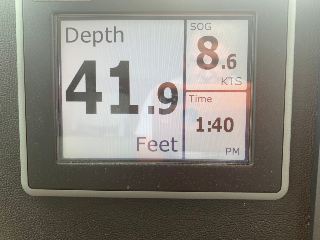
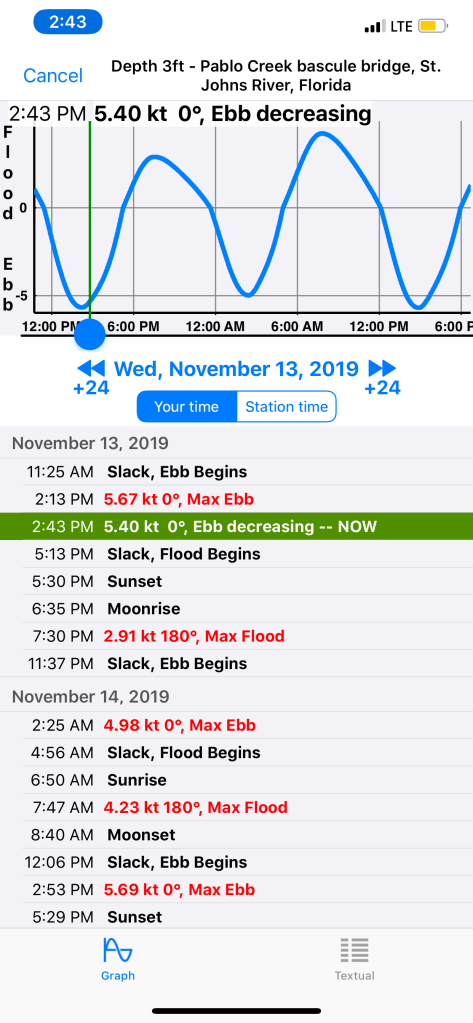
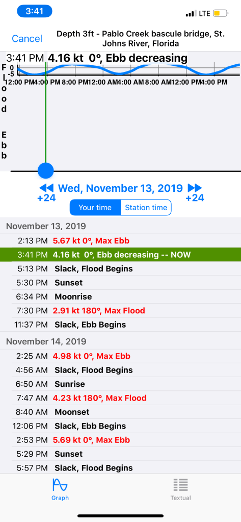
I’m feeling pushed… Pushed along to 7.4kts

1400 RPM should push me along at 6.5kts but I’m feeling the current on my stern.
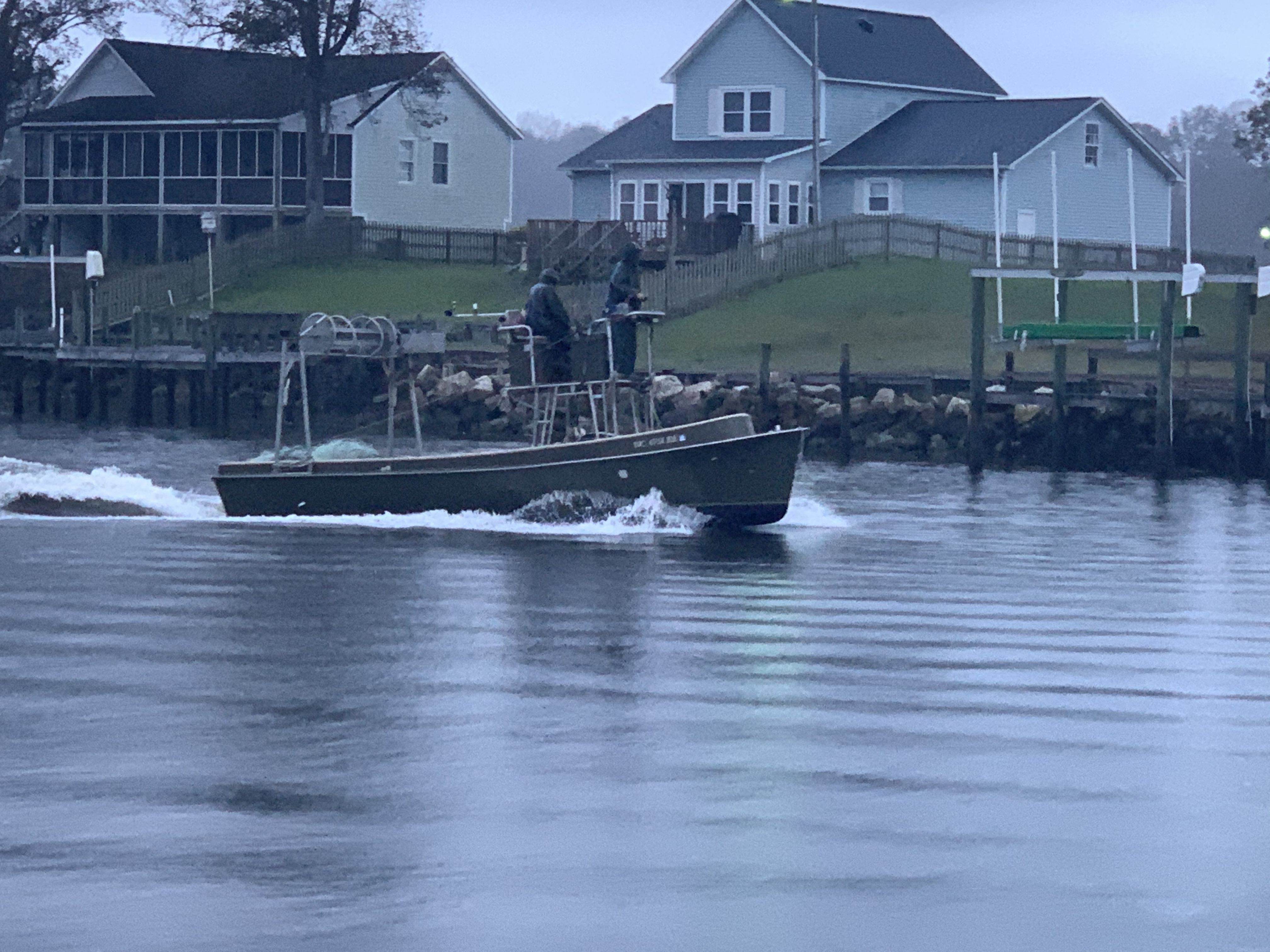
As I make my way down Adam’s Creek I pass many boats on this drizzly morning.


As I approach the Core Creek Bridge the creek narrows and the water speeds up in an effort to squeeze through.
Newport Marshes
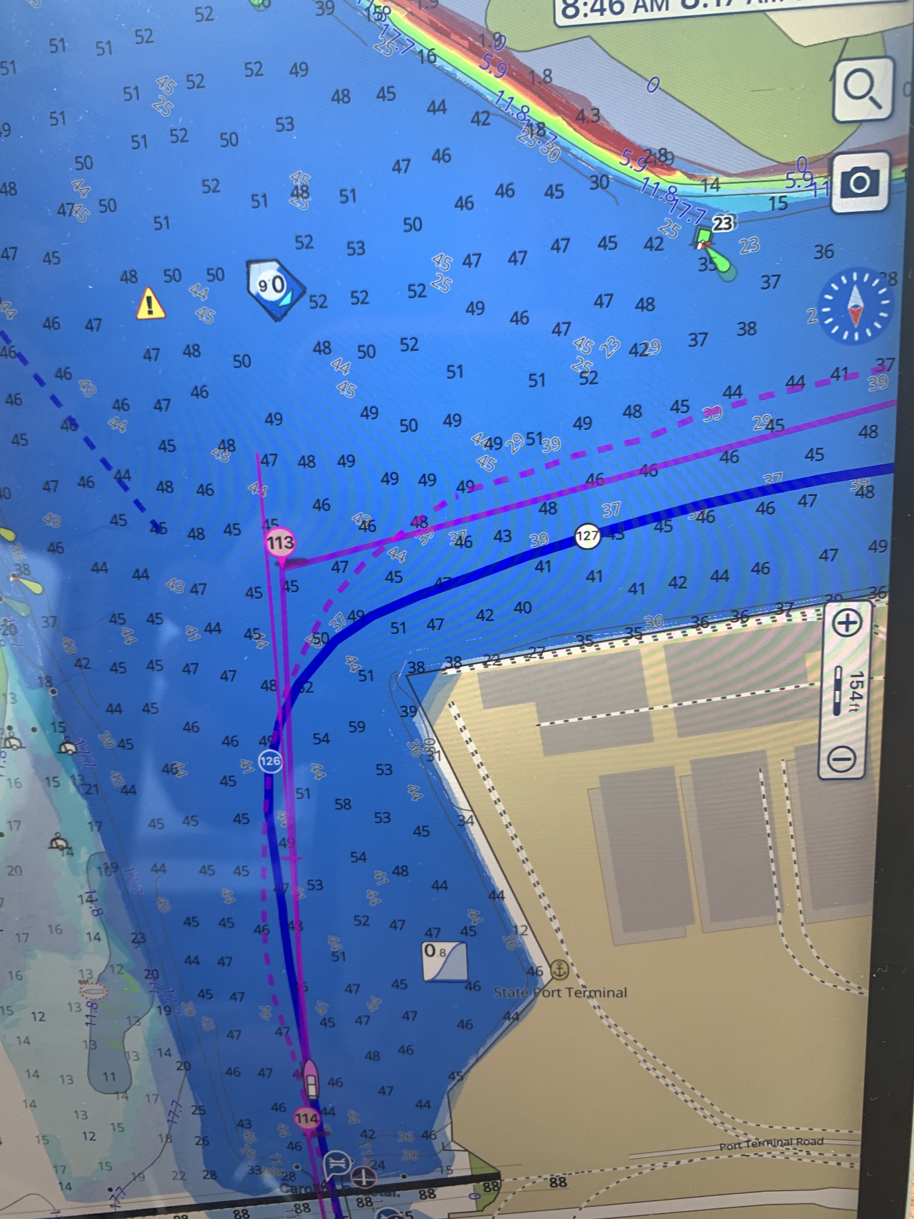
The Newport Marshes are just inland from Moorehead City and Beaufort. There is an area that can be confusing as the channel bifurcates. The Russell Slough Channel is a secondary channel that goes into the backside of Beaufort and the ICW channel breaks off to starboard when you are heading south to Florida. You must be careful to respect the ATONs (Aids TO Navigation) ie. buoys. I see a trawler approaching heading north and he notices that he is on the wrong side of the red buoy and performs a hard-over helm correction before getting right back on course. There is also a tiny anchorage right at the split. I have been tempted to use it but have always chickened out because there is a 4.9′ depth that I fear swinging into at low tide and resting on the bottom. I always keep that anchorage in mind if I’m in a pinch.


As I approach Moorehead City I must pass through a narrow rail bridge.

Hang a Roger @Moorehead City
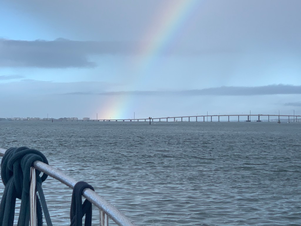
When you get to Moorehead City you turn 90 degrees around a large building.

After making that turn I was greeted by a rainbow
As I travel through Bogue Sound I’m reminded that today’s run will go through many traditionally shallow locations and I’ll have to stay tight to my line to not bump the bottom.

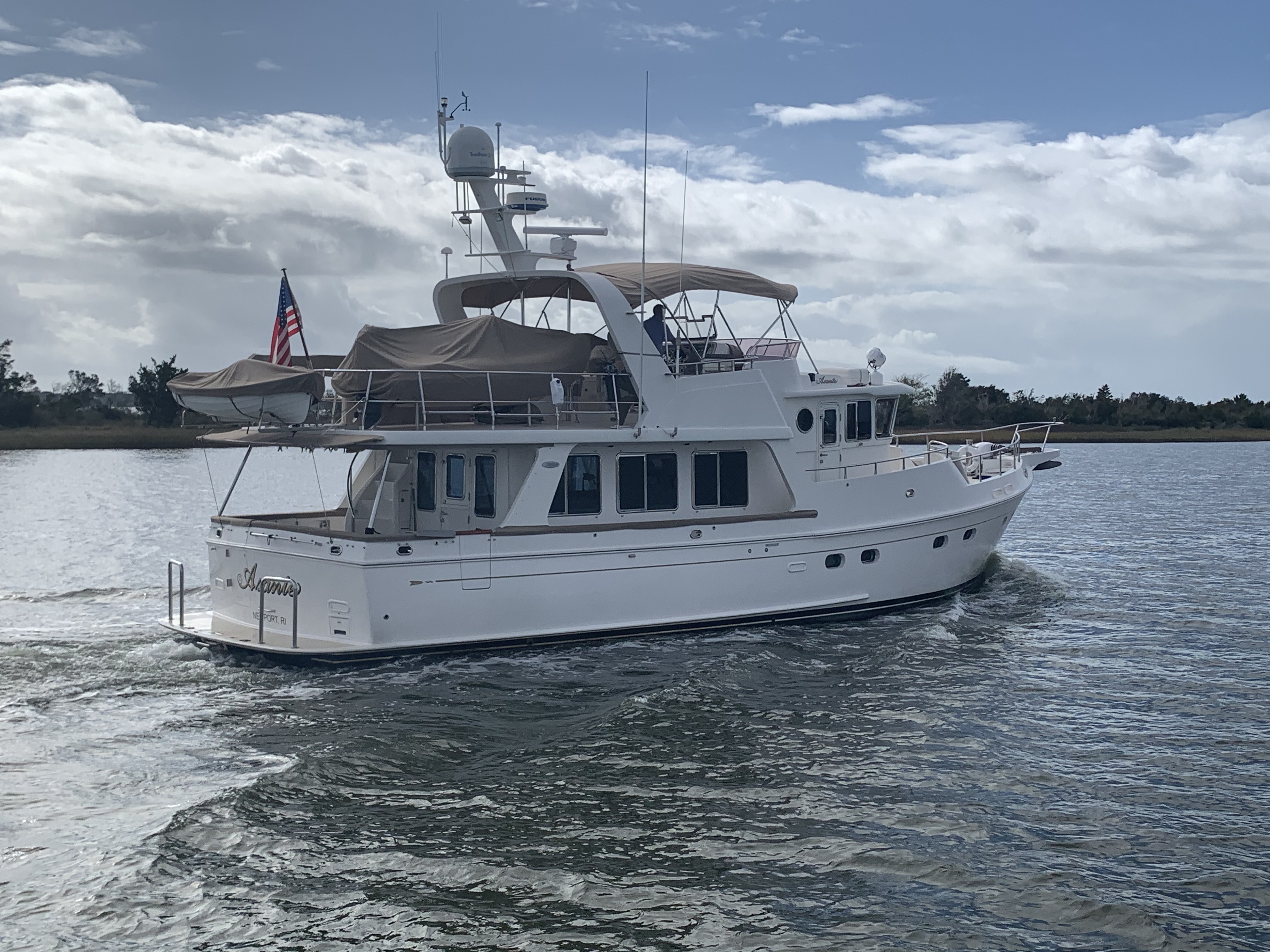
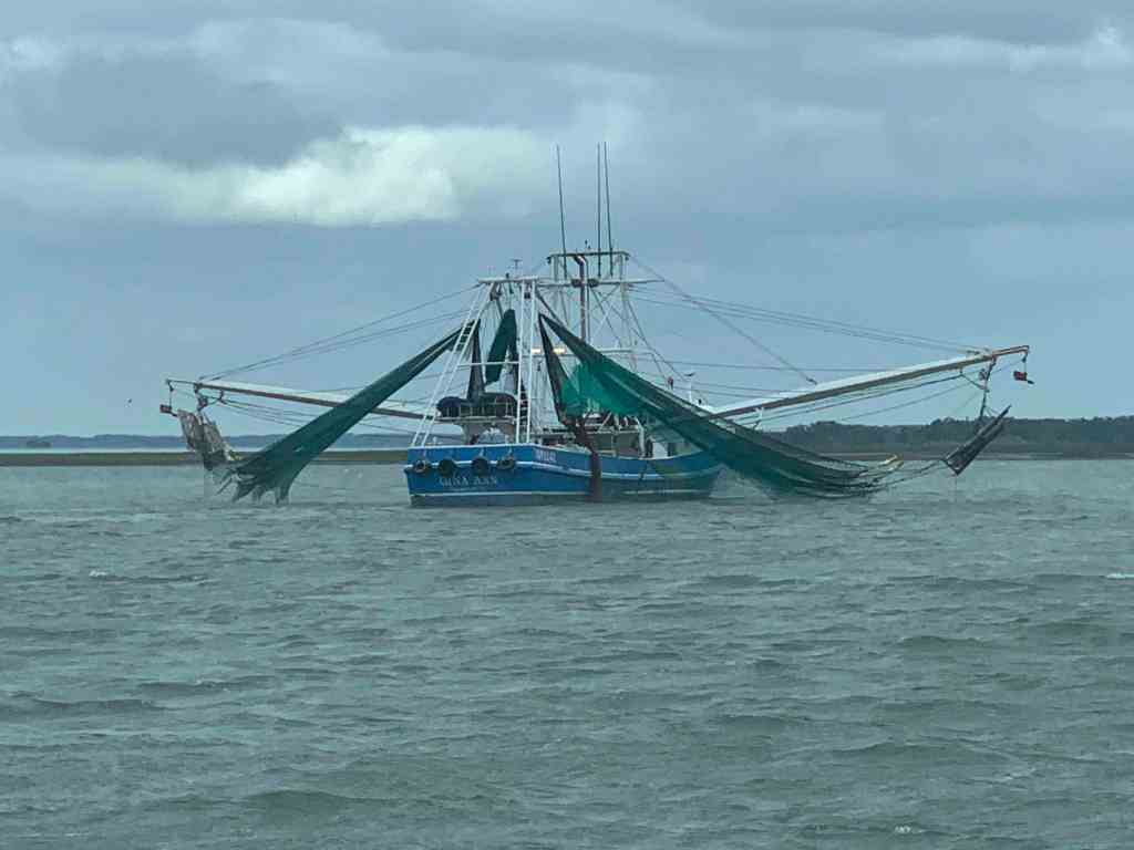
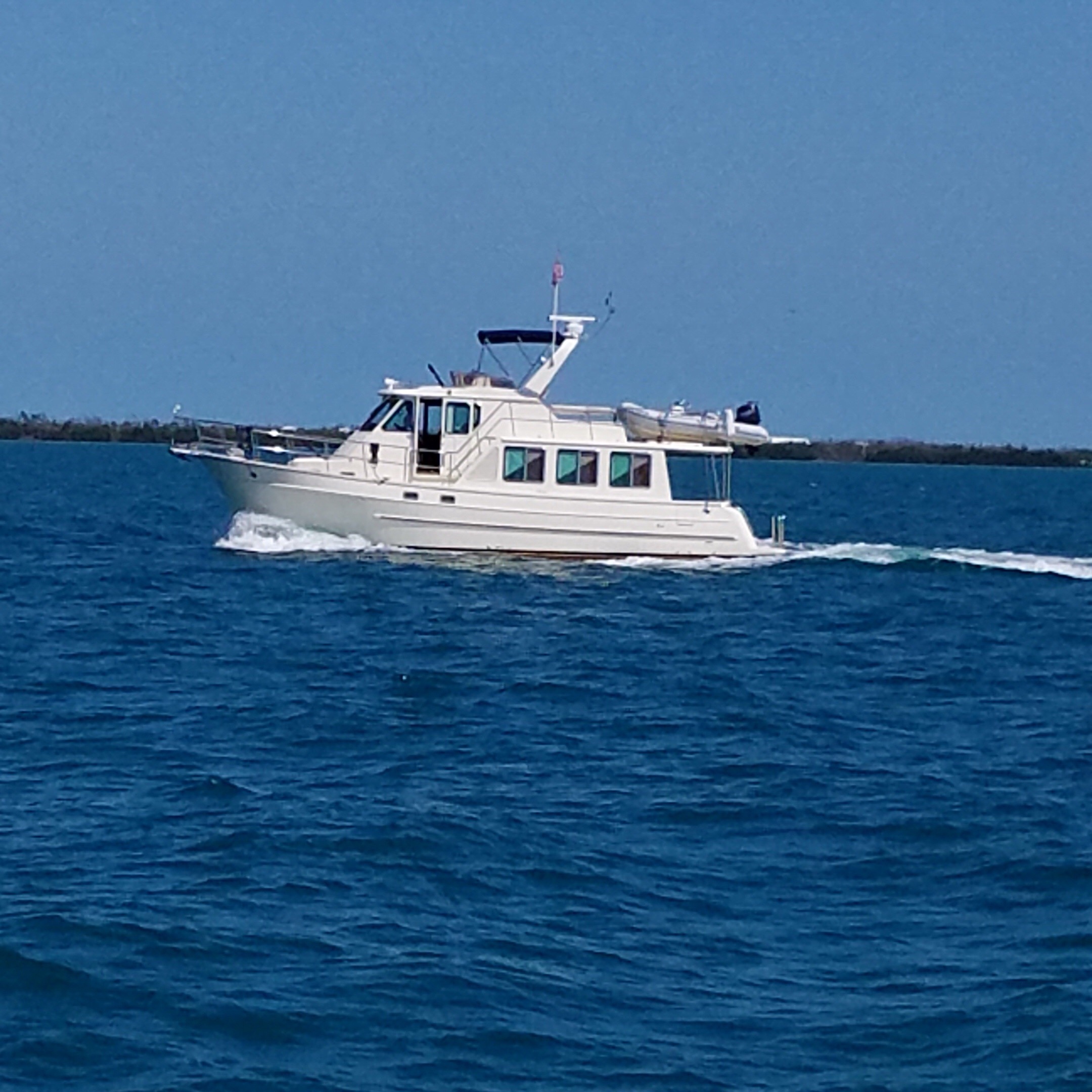
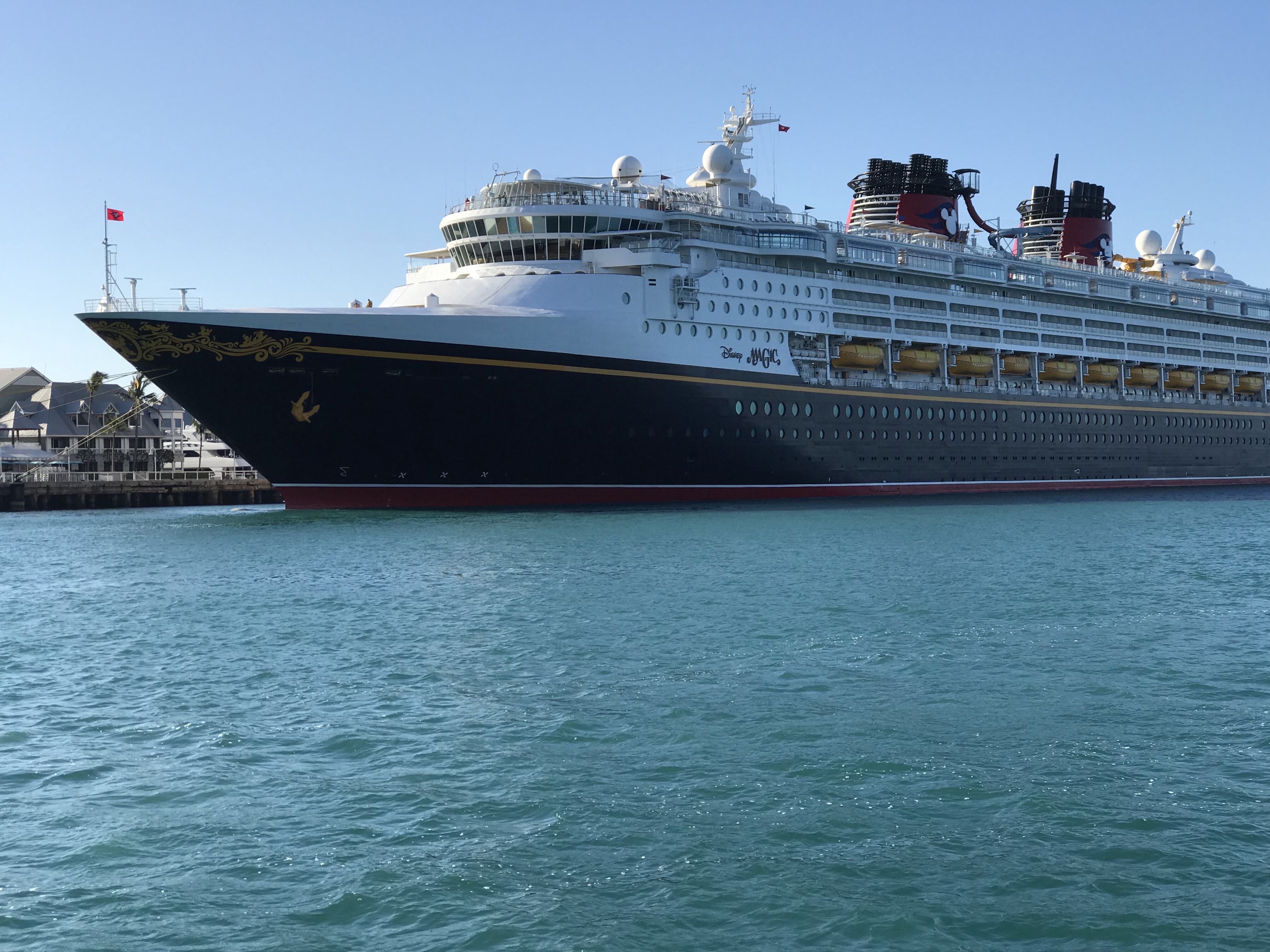
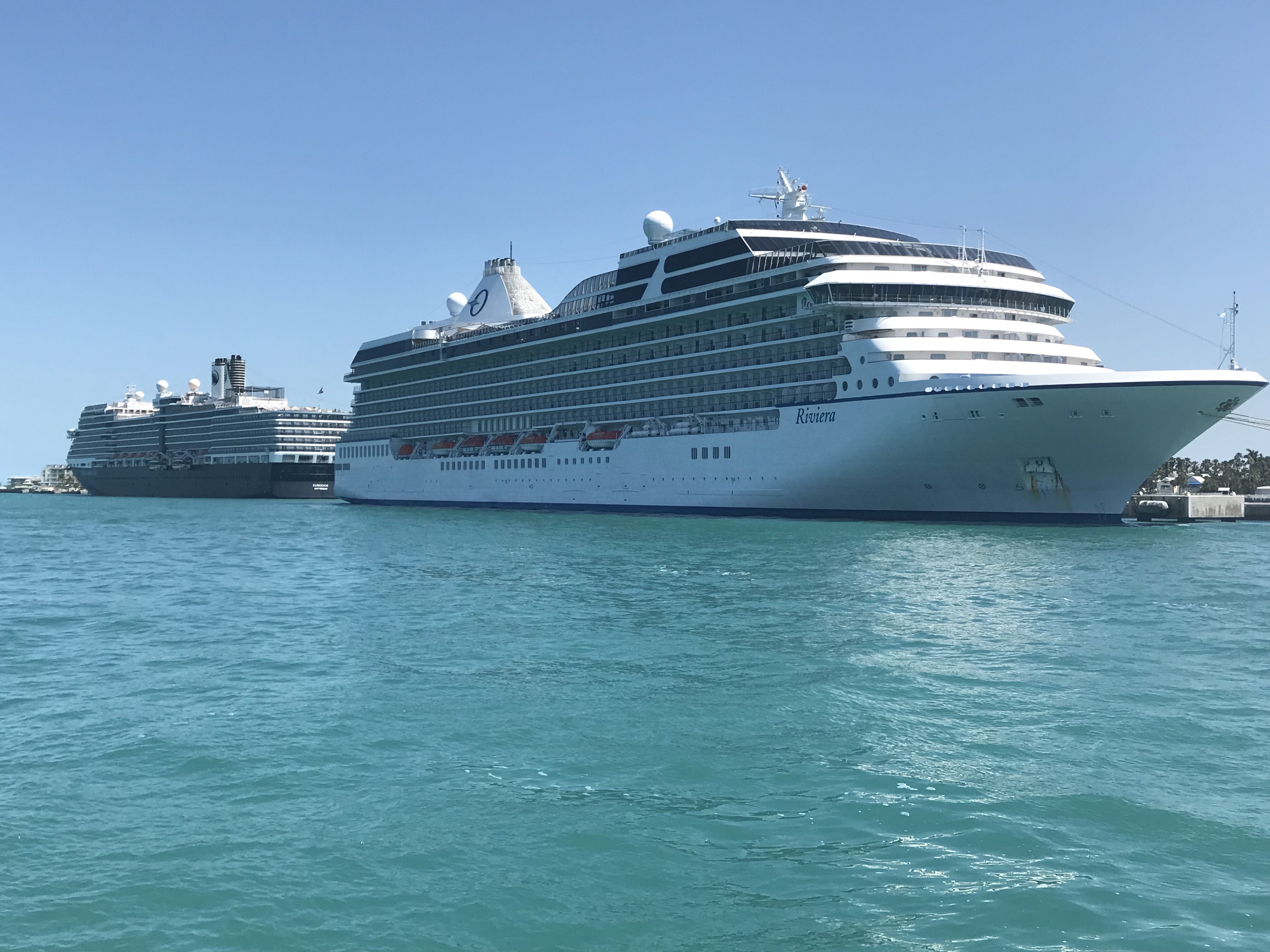
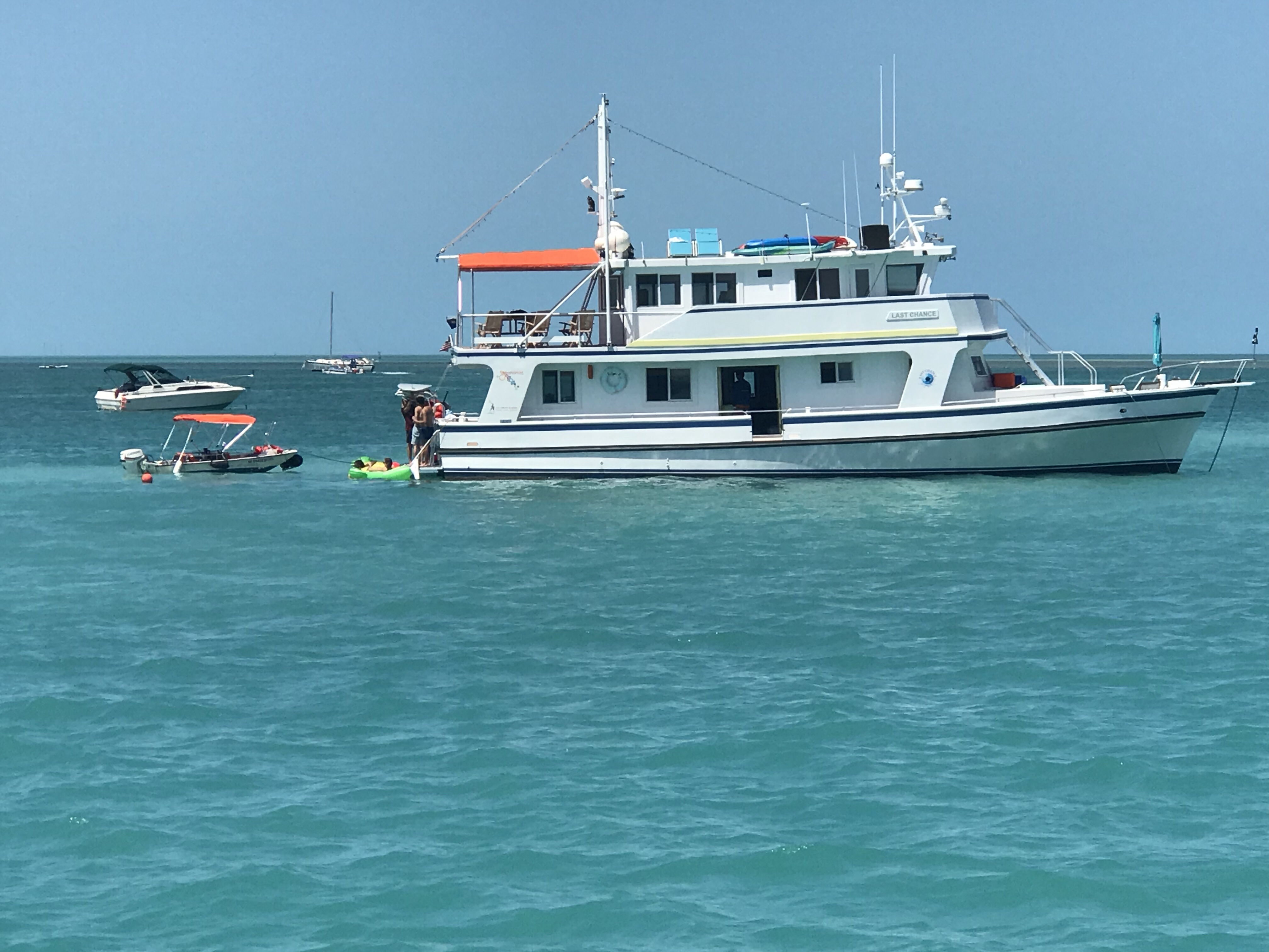
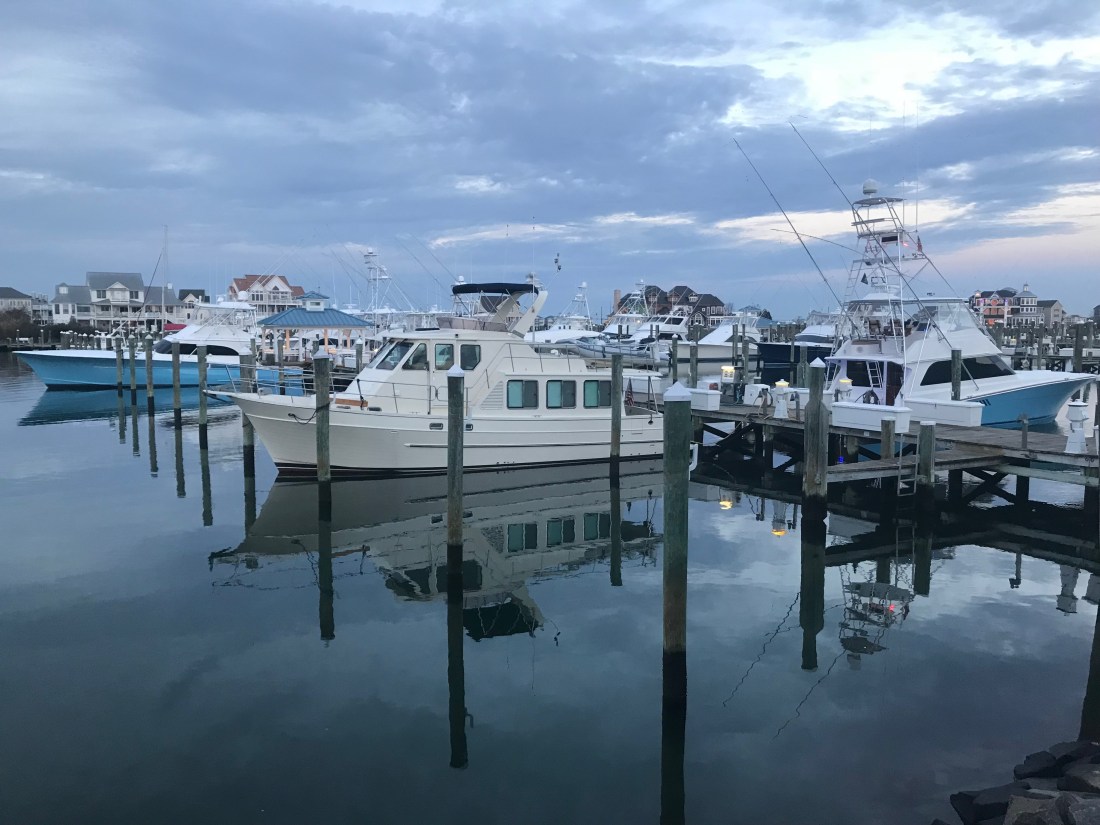
Boat Porn
As I go along I repeatedly have to pull the throttle back to idle to allow boats to give me a slow pass.


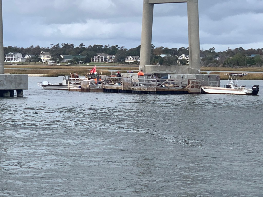
I almost missed slowing down for this diver down flag where these men were working on the bridge.
Diver Down
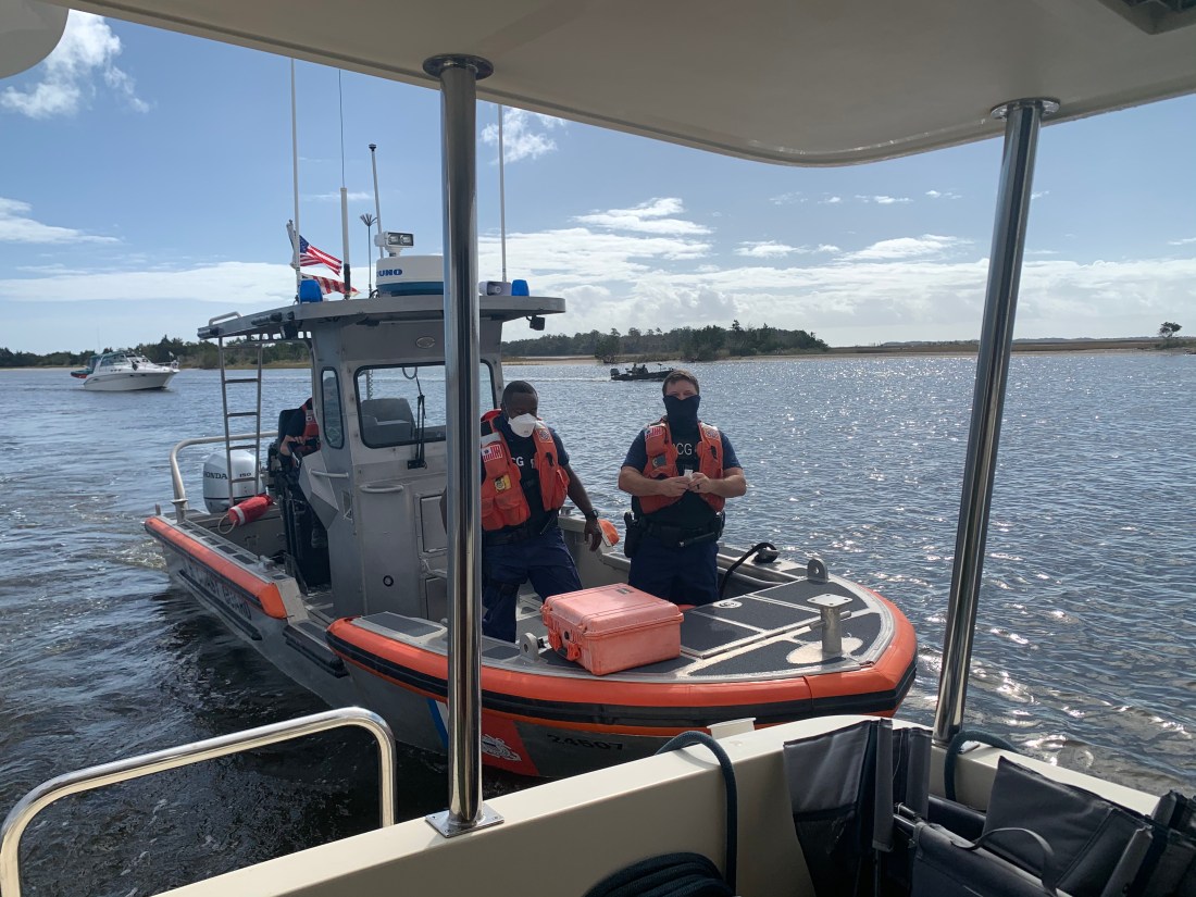
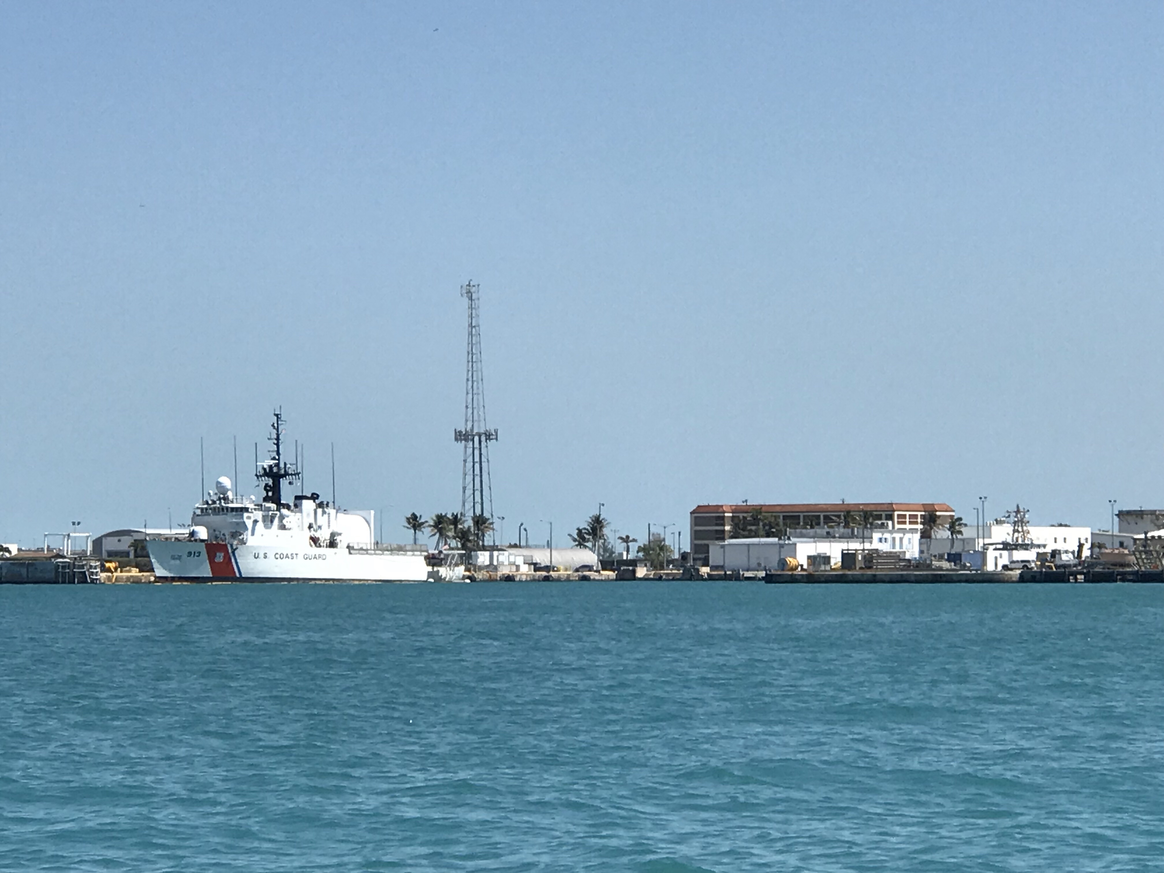
USCG Boarding
As I came into Swansboro I watched a USCG inflatable with three team members pass me and take up a course on my stern. Moments later they hailed me to tell me they wanted to board Simple Life. I cut speed to minimum make-way speed and explained that the best location to come along side and have crew jump aboard would be my stern swim platform. I felt only a slight bump and heard two Coasties coming through my salon. They greeted me warmly and asked if I was alone. I responded “yes” to which they replied … “oh, OK I guess you’ll have to keep piloting the boat and we’ll do our thing. They were doing a safety inspection which includes me showing them everything from sound devices, PFDs, throwable PFDs, signaling equipment, a digital copy of the USCG ColRegs. They also performed an engine room and bilge check as well as asked for my license and boat documentation. They were very professional and polite about searching through my current home. They gave me a passing grade and handed my my yellow boarded slip to keep for my records. I asked if I could take a picture for my blog and they said “No Problem”.

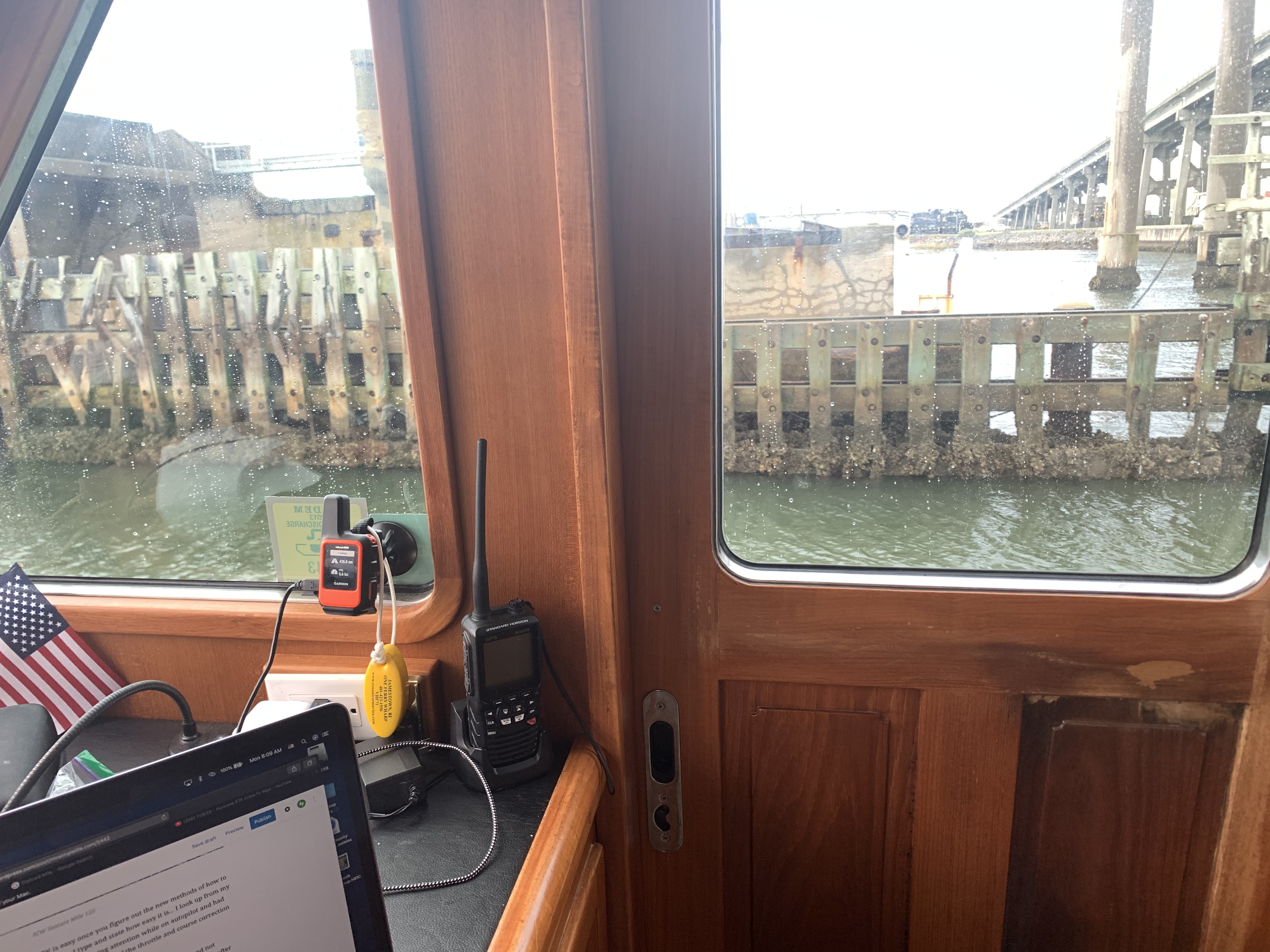
I like to keep everything digital on Simple Life.

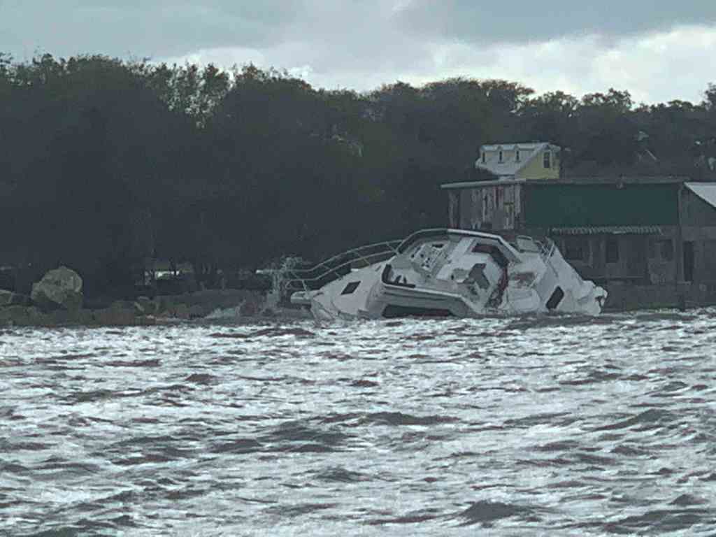
Keep the Water Out
Sometimes it’s a challenge keeping the water out.

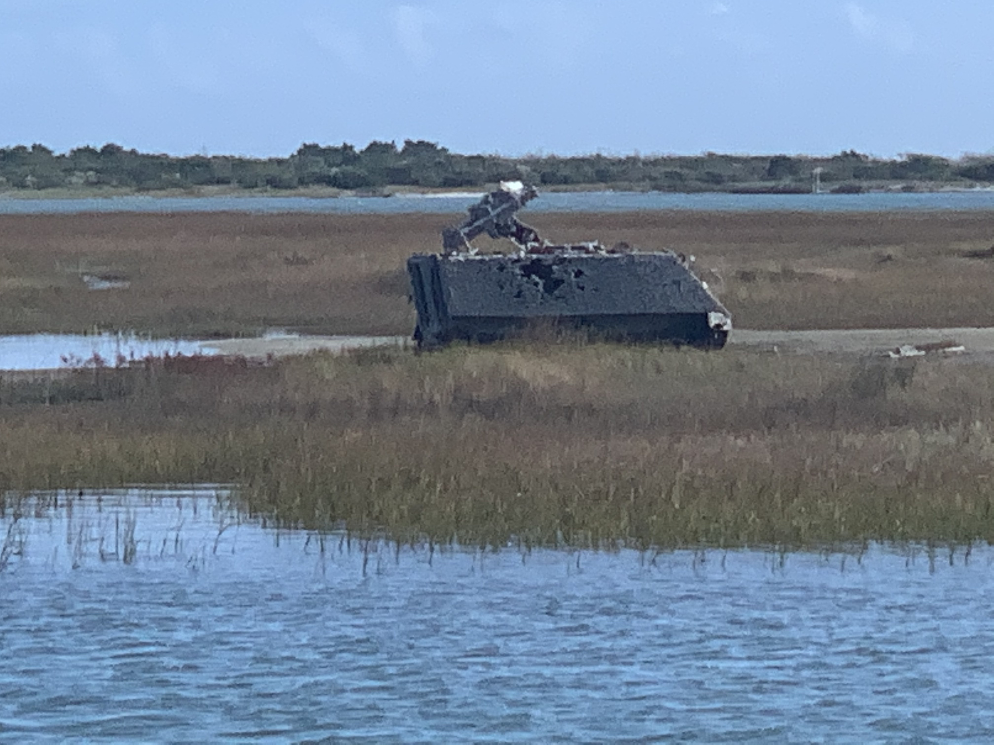
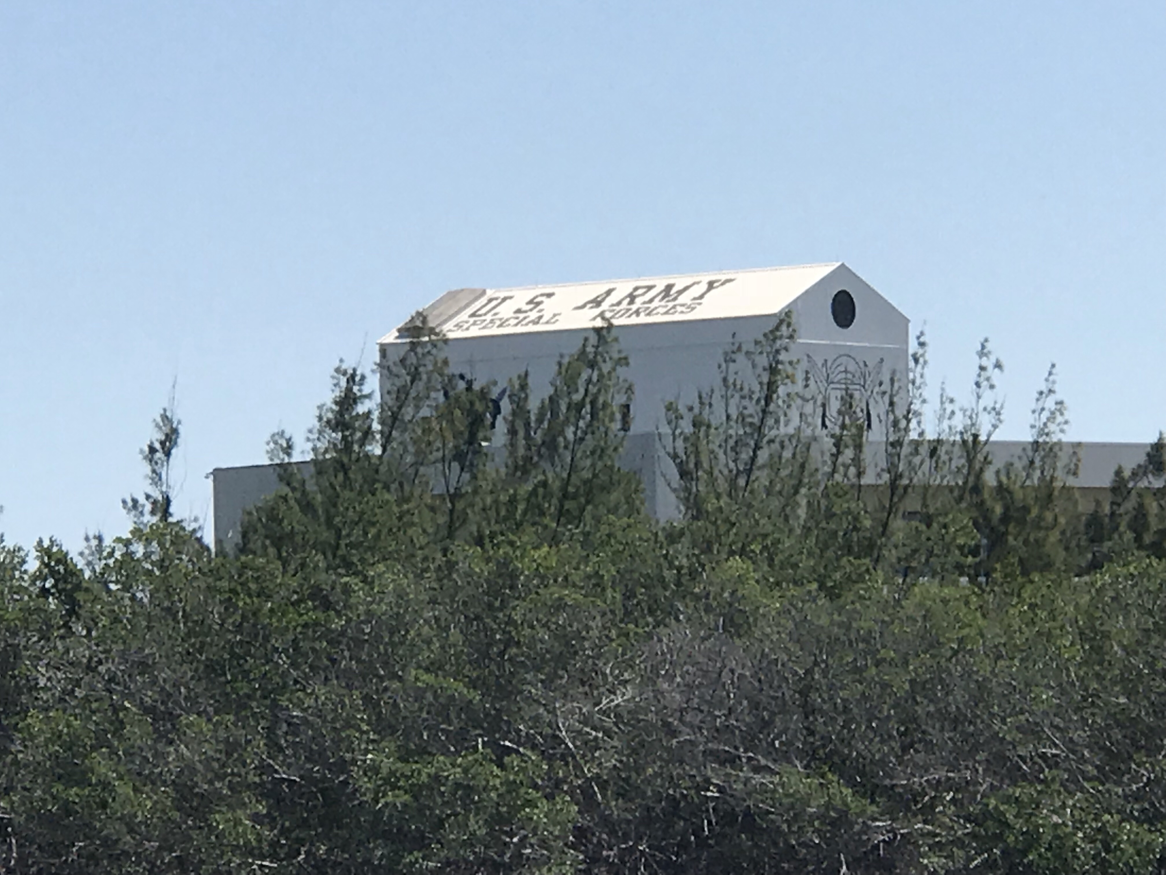
Marine Base Camp Lejeune
As I pass ICW statue mile 235, the shot up military vehicles and V22 Osprey aircraft overhead remind me that I’m approaching Marine Base Camp LeJeune.


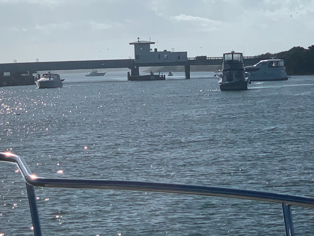
Onslow Beach
As I arrive at the Onslow Beach Bridge I must wait in traffic for the next opening. The current was on my stern so I made sure to take a visual fix on land and hold my position fixed. Boats who were coming up behind were being pushed by the current past me. They are all faster than me so whenever faster traffic lines up behind me at a bridge I find it easier to let them pass you in line so that you can avoid the inevitable pass after the bridge. I backed my way into the current until I was the last in line. I watched as the boats swarmed like bees attempting not to hit one another.
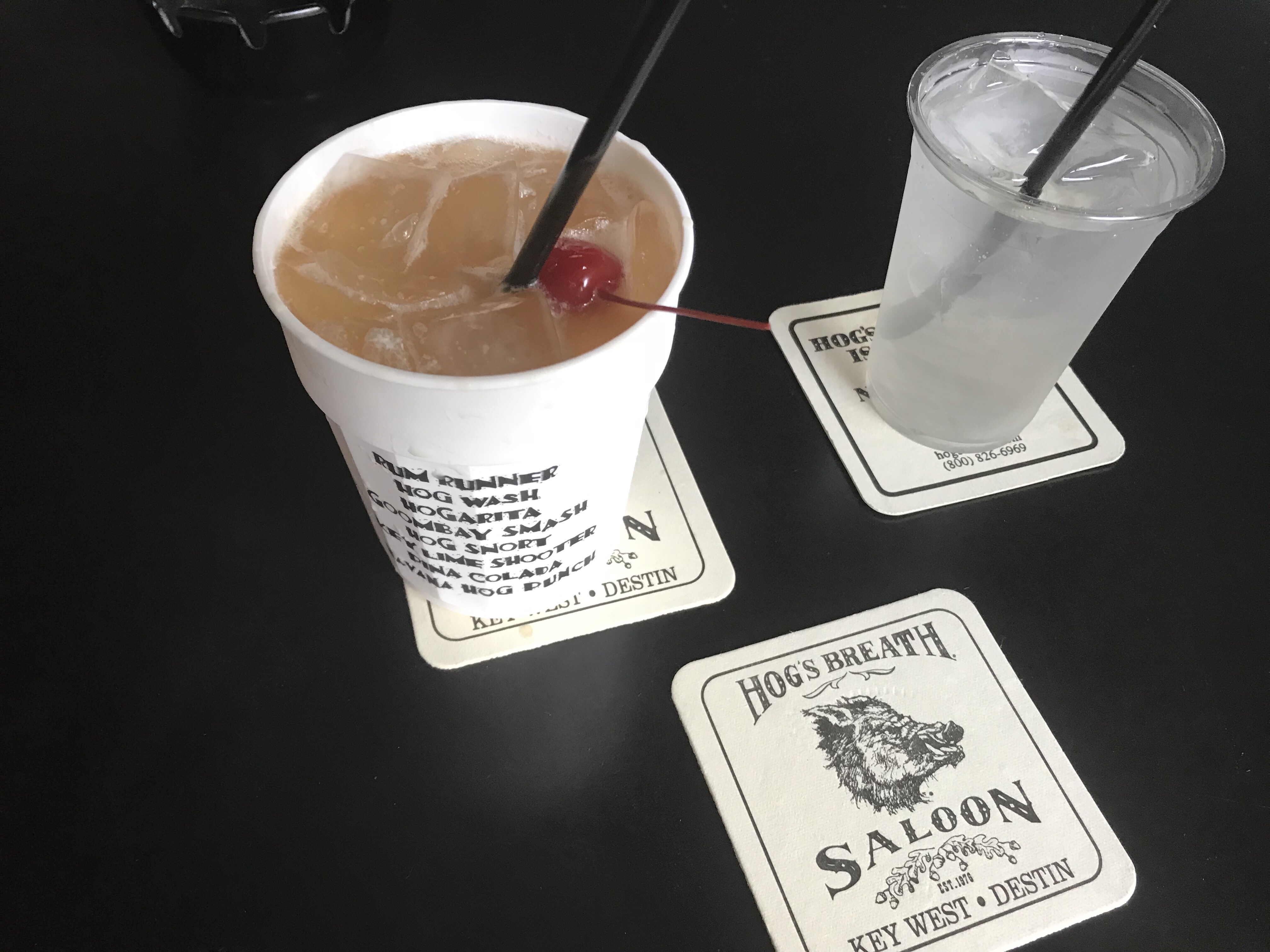
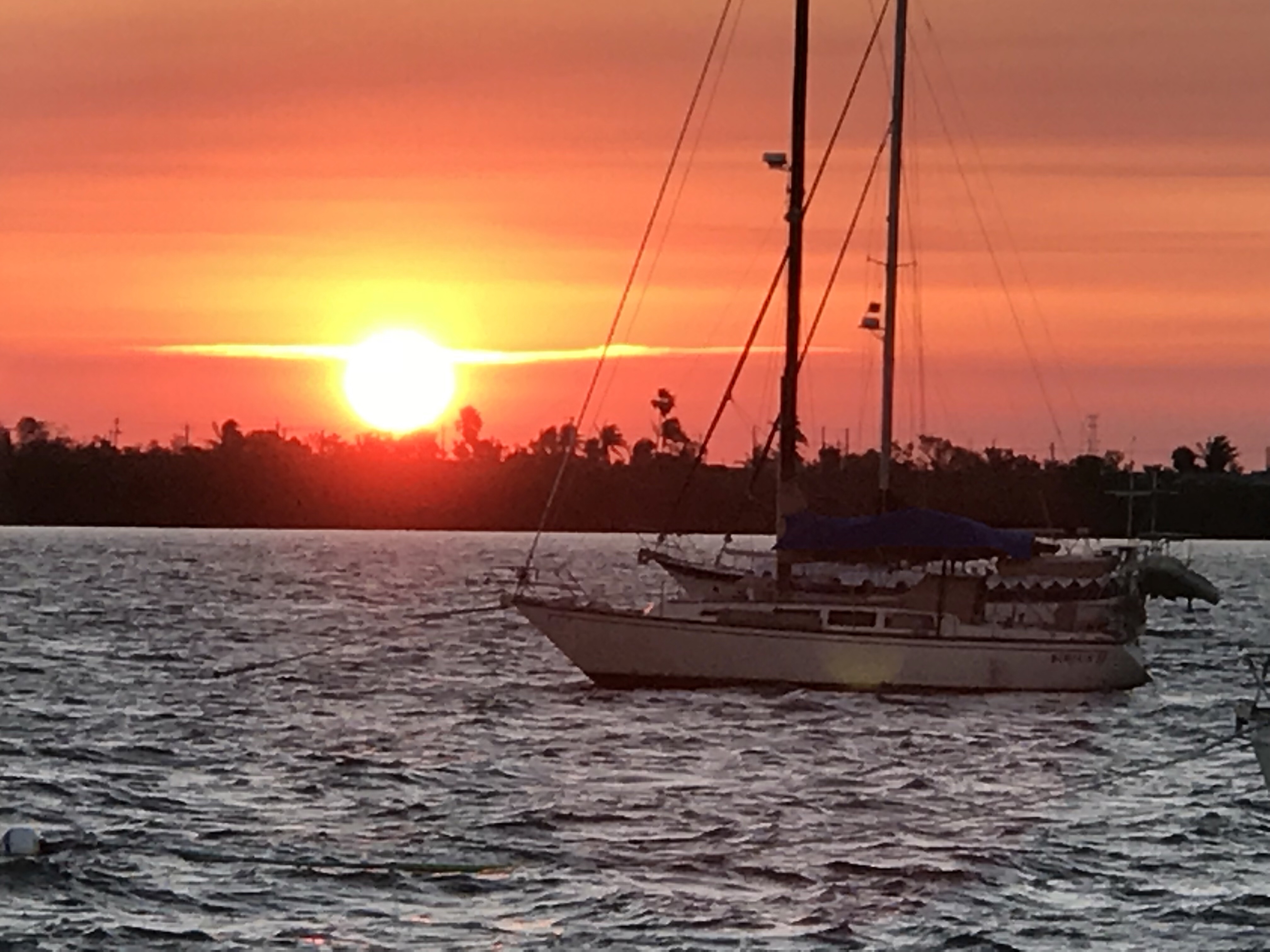
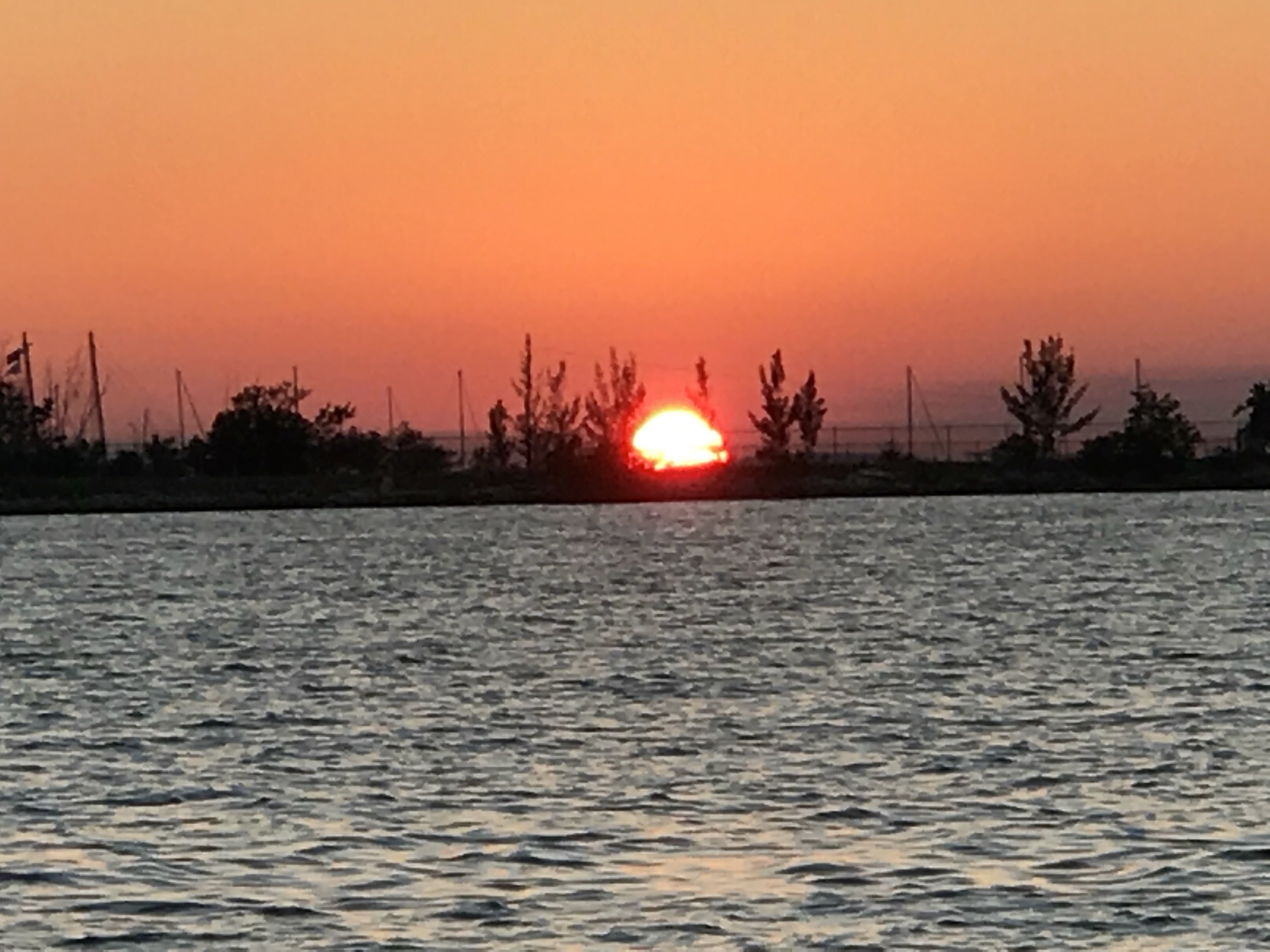
Eyeballs Be Burning

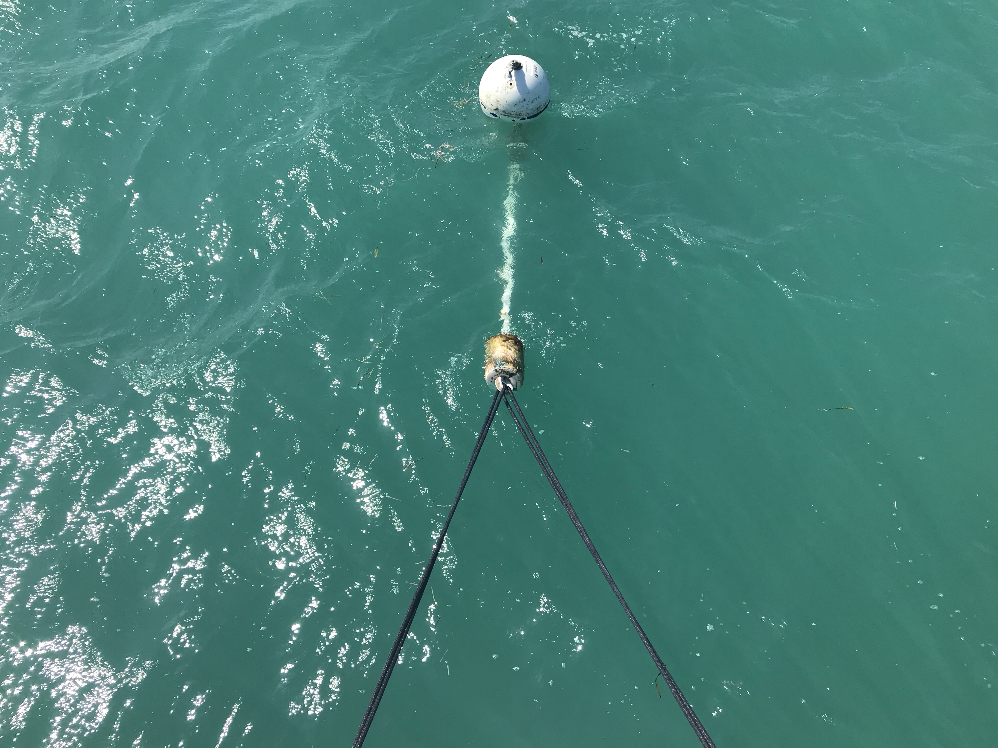
Need to Hook Up
Now passing one of my favorite anchorages called Mile Hammocks Bay. The boat in front of me Kismet turns in. For a moment I start to follow but think… there is still three hours of daylight left. That said, the challenge with continuing on is… there is probably only one suitable anchorage within 3 hours range called Sloop Creek. If it’s full I could be running into the night looking for somewhere to drop the hook. I have never been to this anchorage so I study the entrance and make note of my expected arrival time which is after sunset. I decide to go for it.

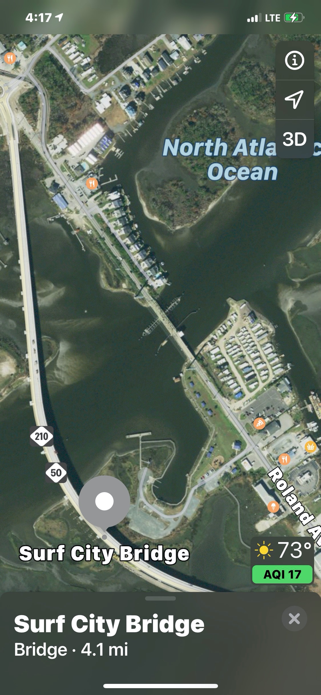
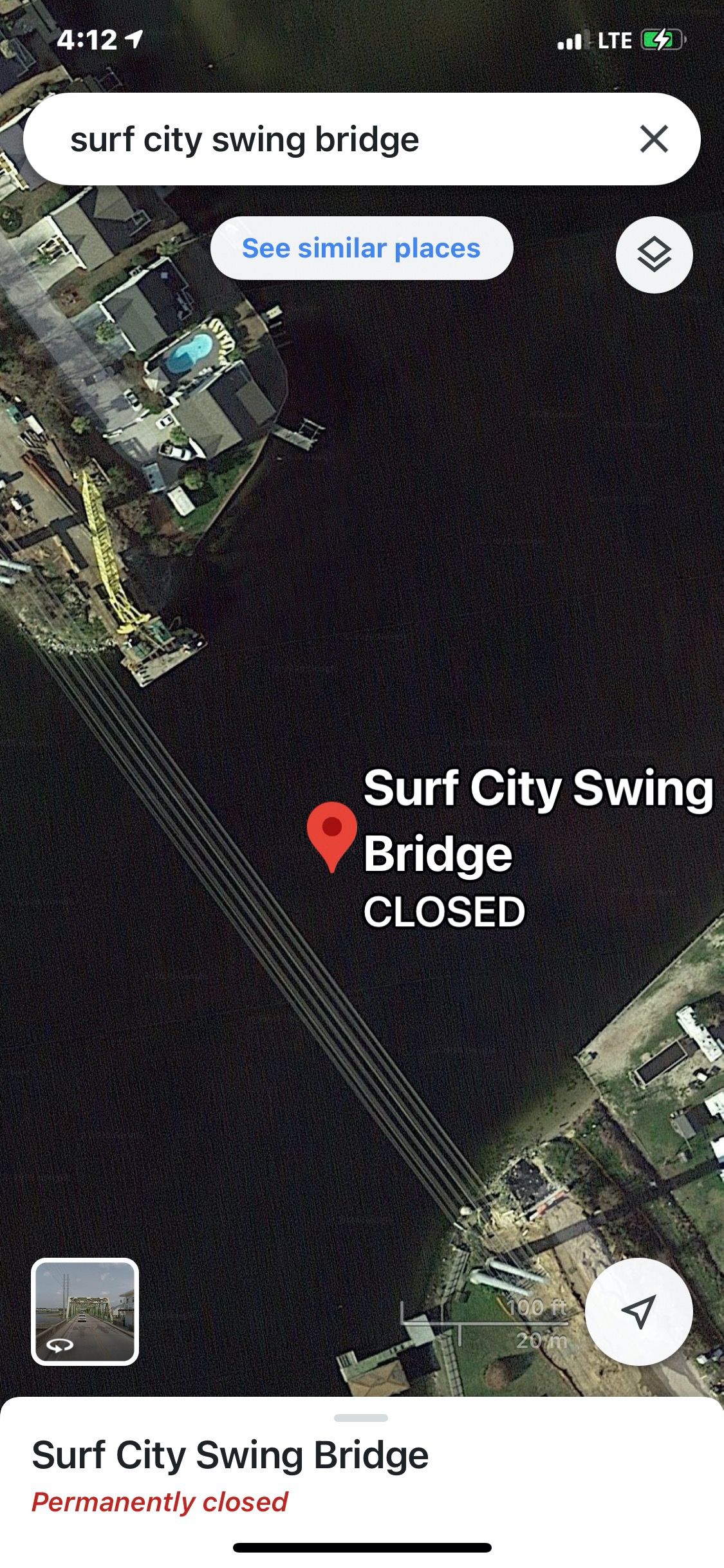
When in route I can’t remember if the Surf City Swing Bridge has been replaced with a 65′ high fixed bridge. I use Apple Maps and it shows it in place. I switch to Google Maps and see it missing.
While enroute to the anchorage, I hear MV Doghouse hail me on the VHF. “Simple Life, do you know where there is an anchorage around here?”. I reply, Sloop Creek and they ask if they can follow me there. I jump at the chance to be helpful and reply “follow me”. We arrive at the anchorage. I do a quick circle to check the depths. It’s not deep or wide but… it’ll do for tonight.
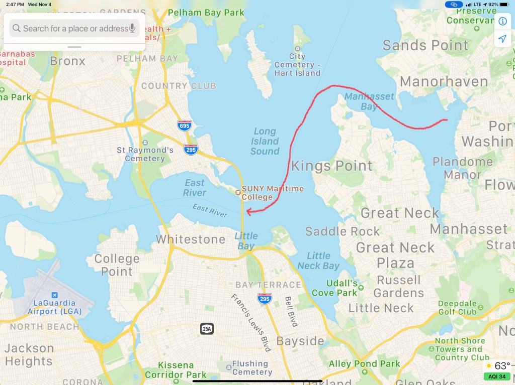
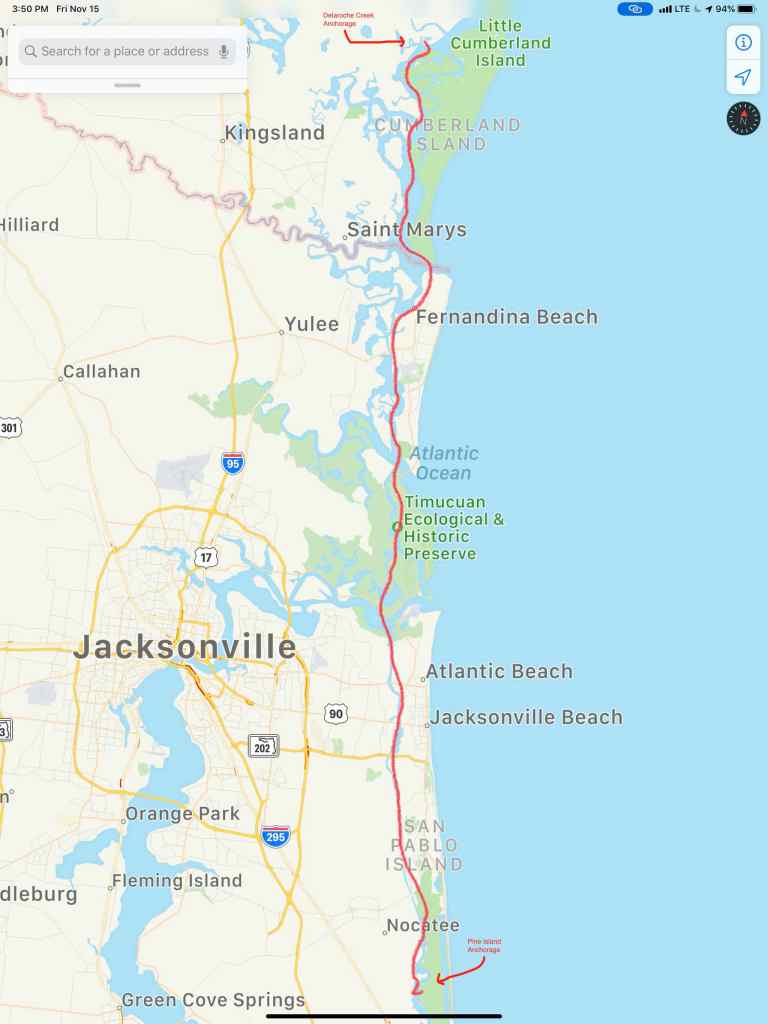
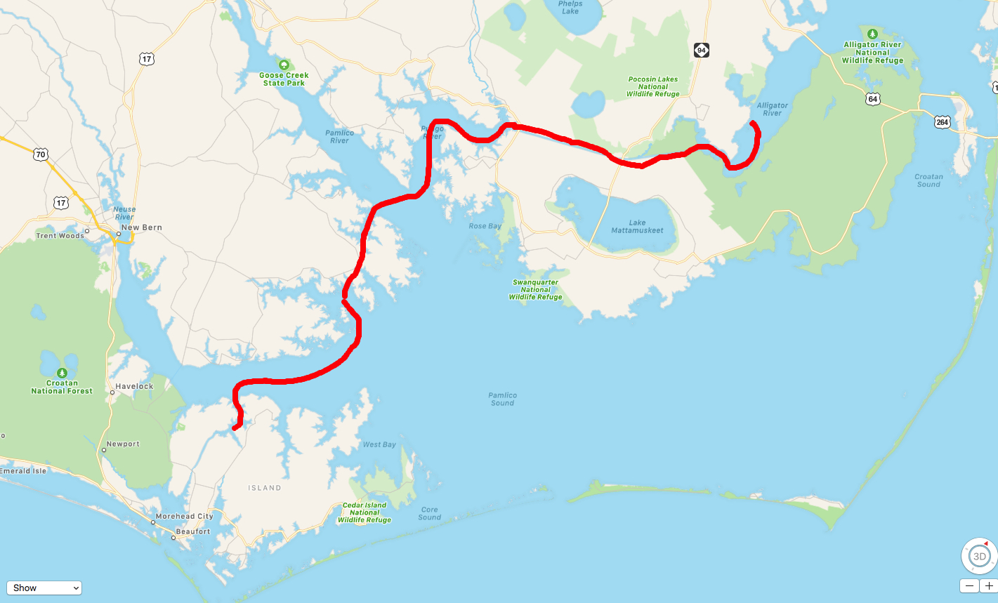
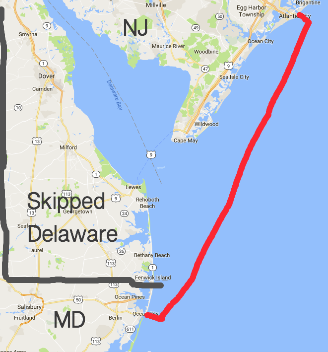
Todays 69NM route looked something like this…


You must be logged in to post a comment.