
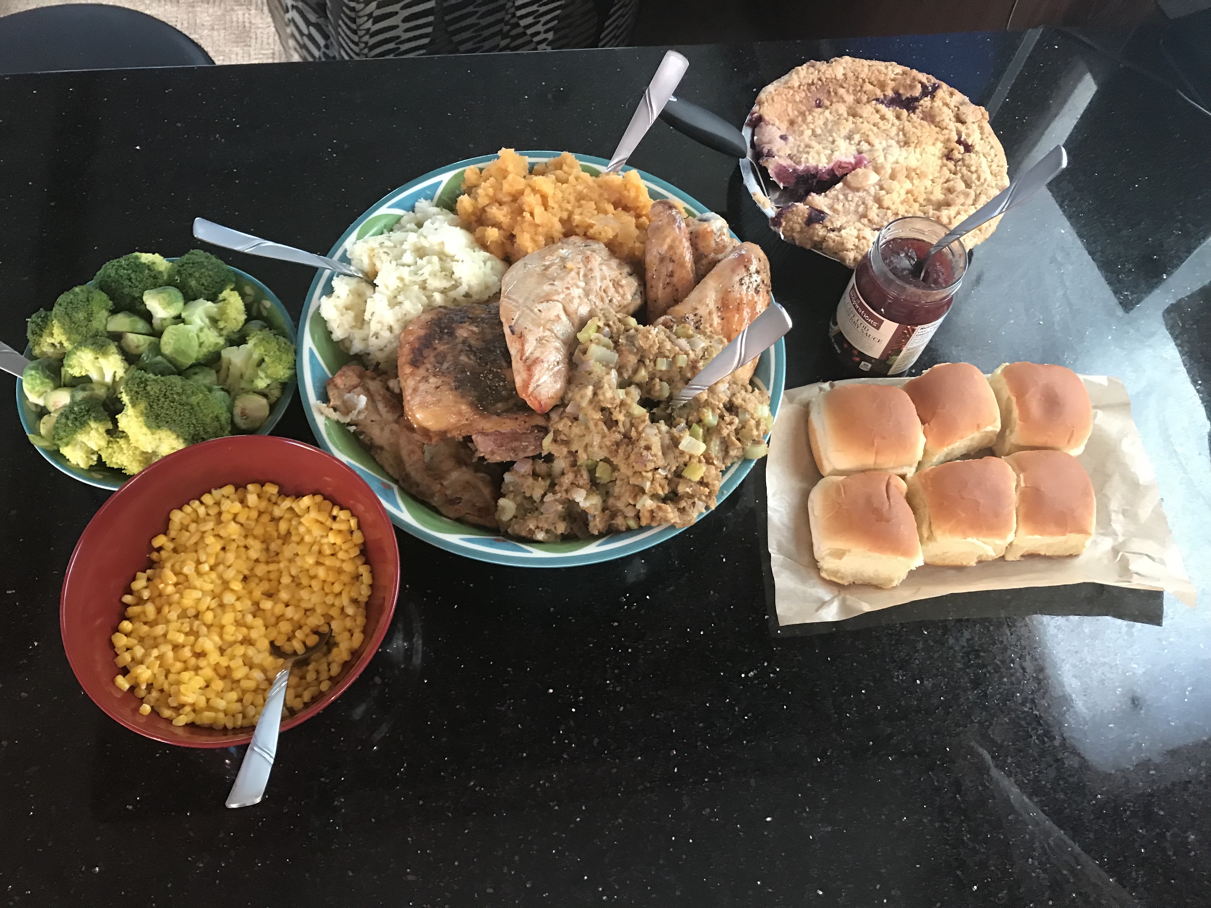
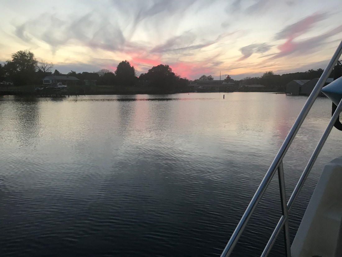
We spent Thanksgiving at Top Rack Marian. Kelly used InstaCart grocery delivery service to order everything that she needed and whipped up an amazing turkey dinner. This woman has skills :-).
-
-
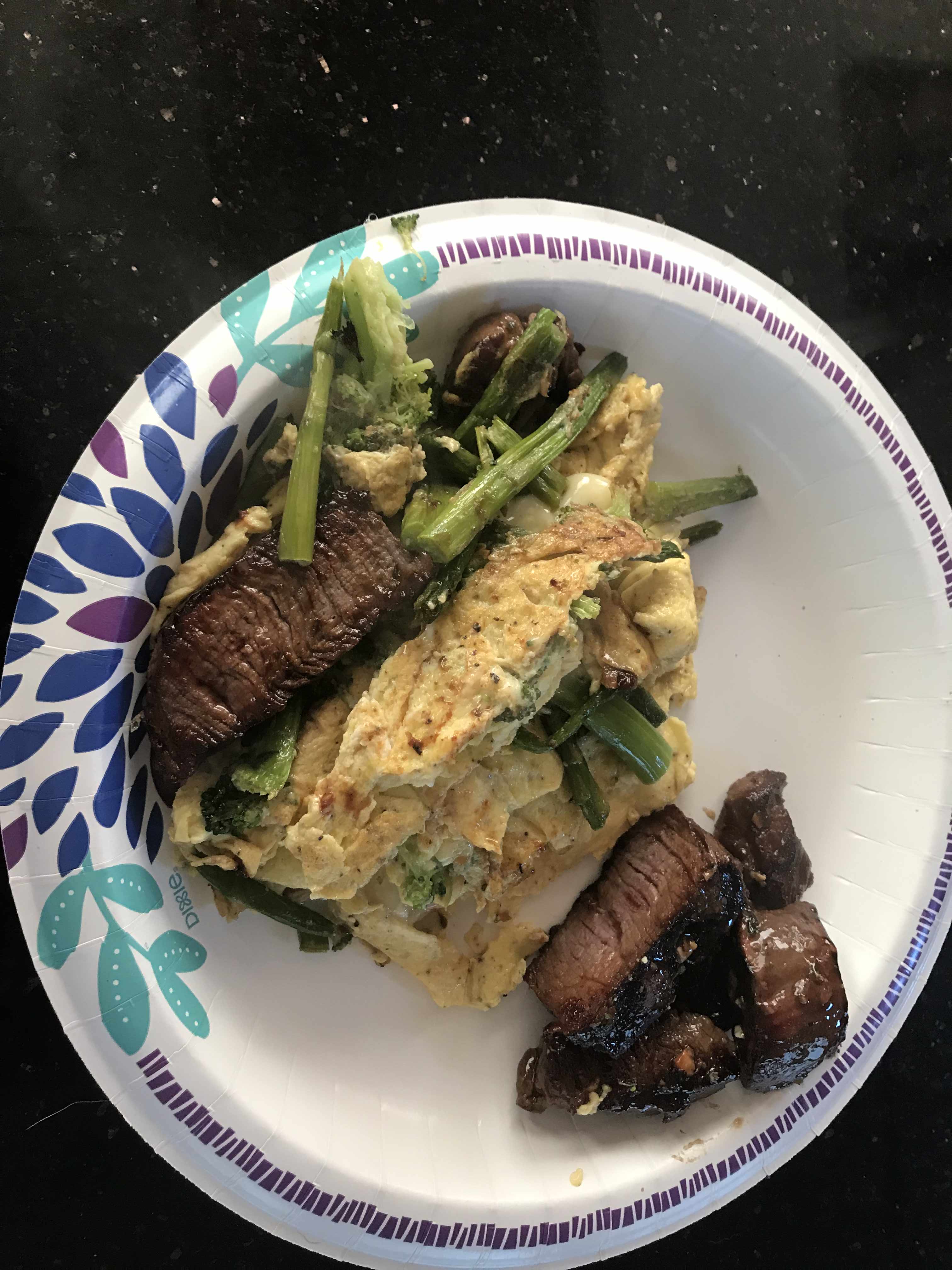
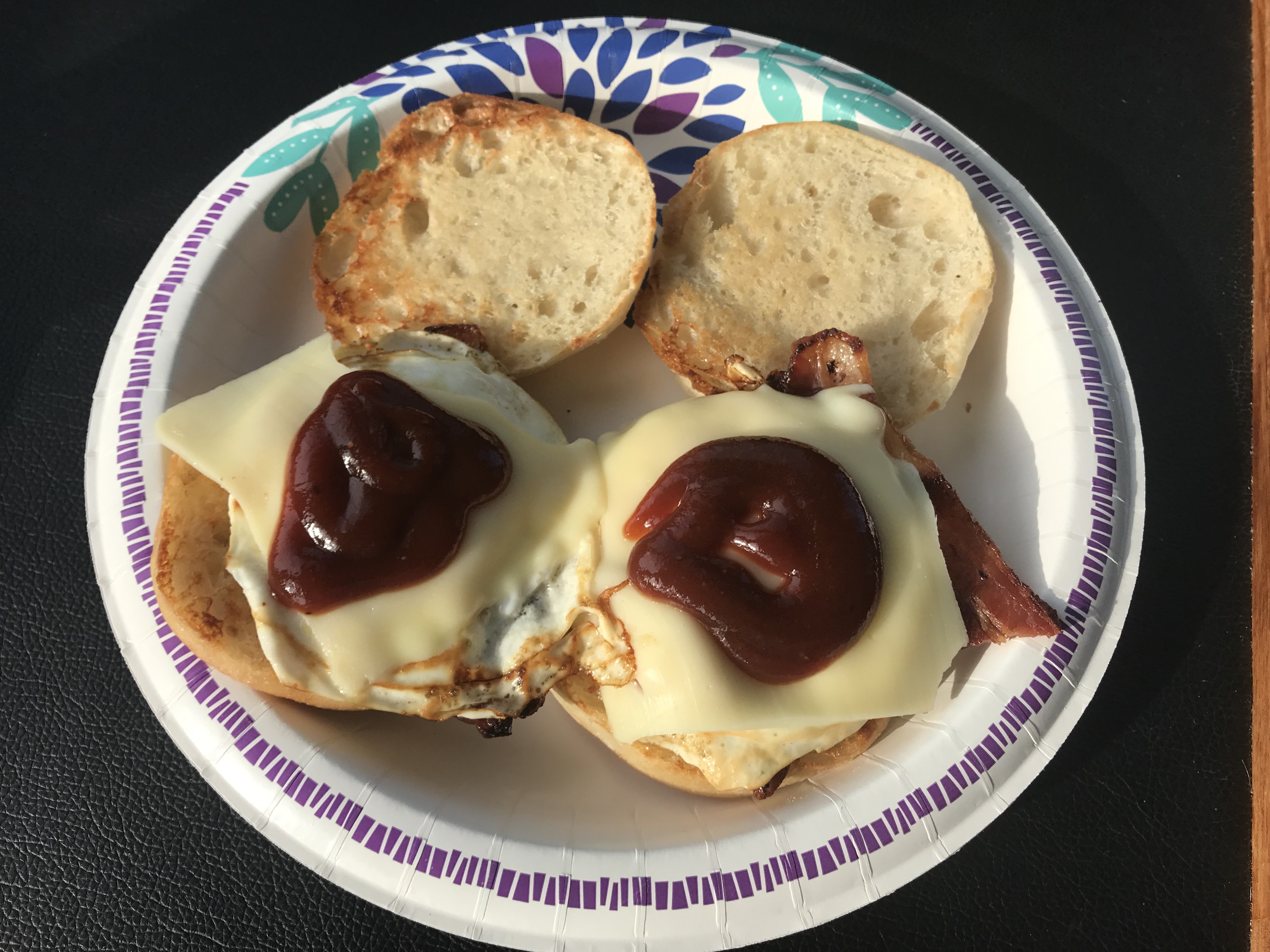
All the Fix’ins -
-
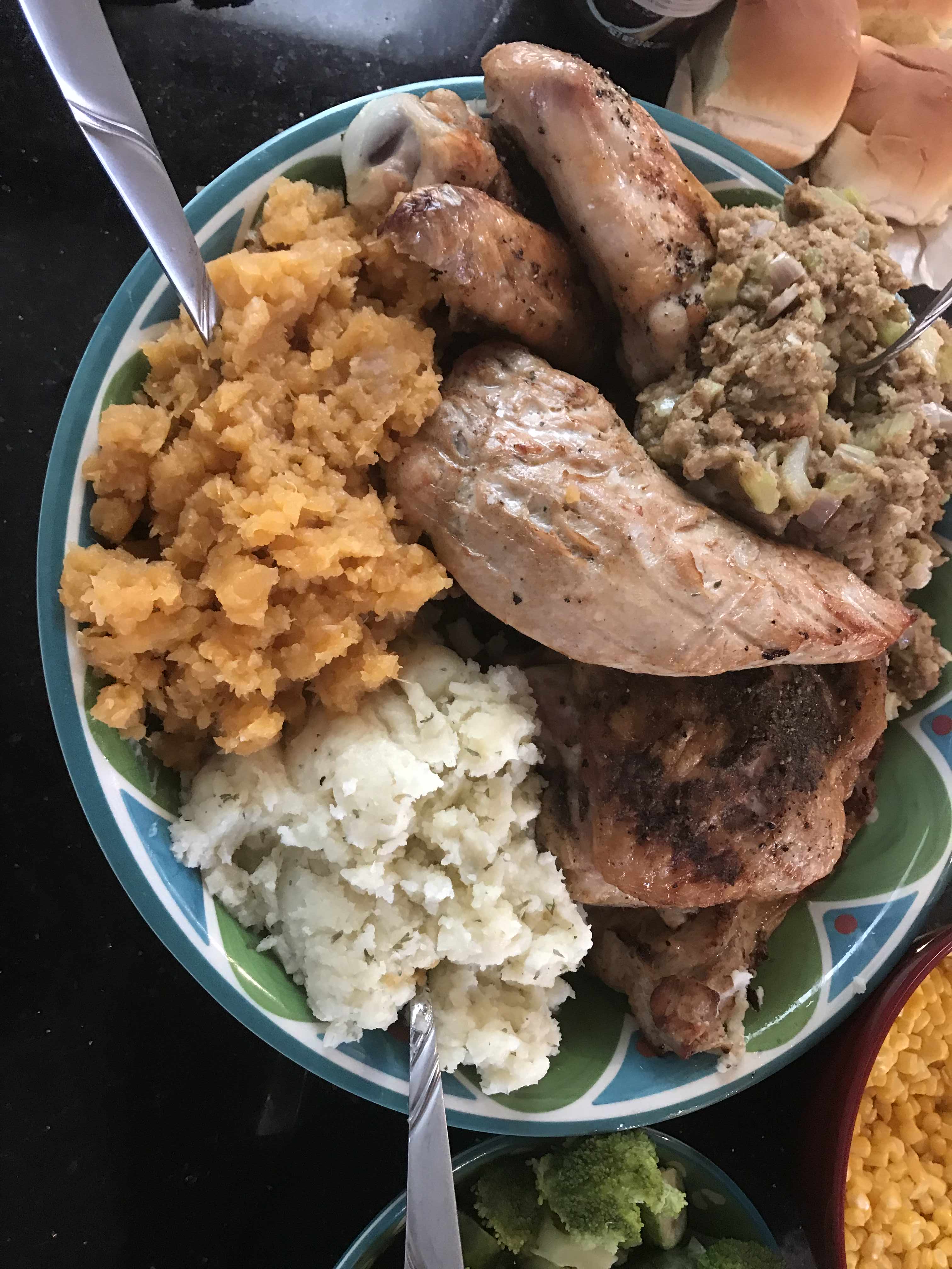
Yumm -

-
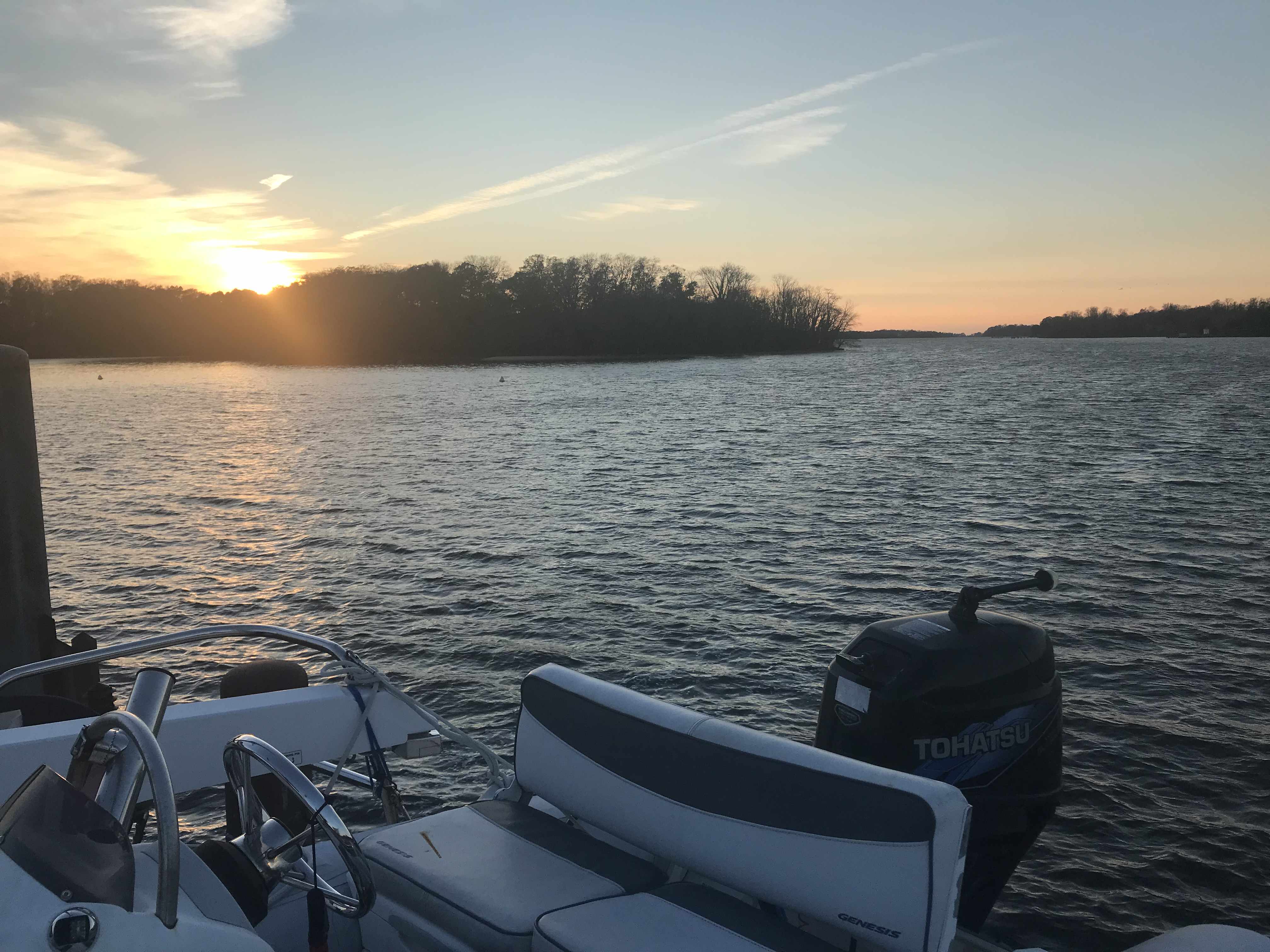
Pie at the helm while underway -

-
Saloon cleaned up after T-Day dinner.
We left Top Rack Marina after sharing an amazing Thanksgiving aboard. However, the temps were dipping into the 30’s at night and we needed to go South as fast as possible.
-
-
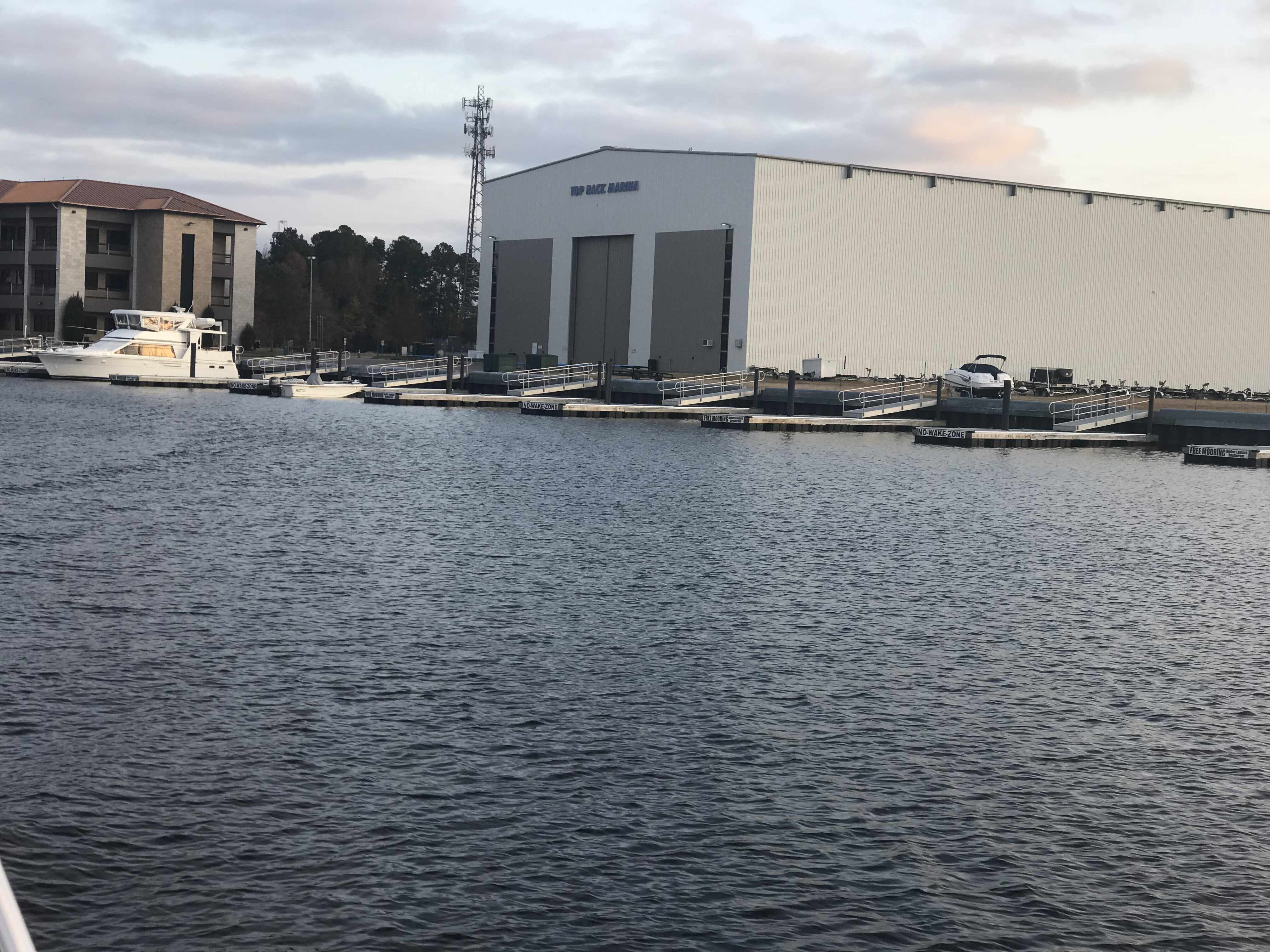
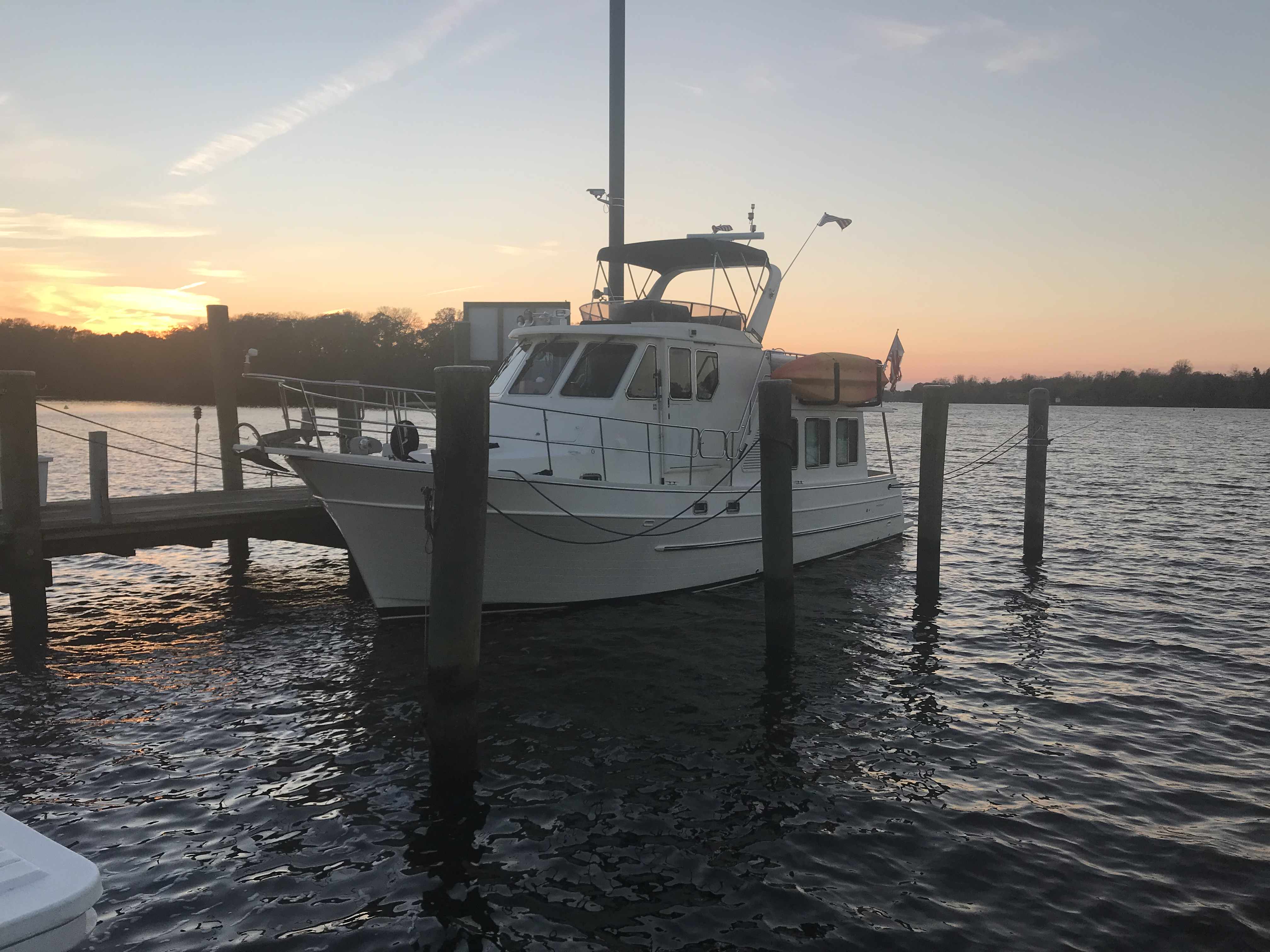
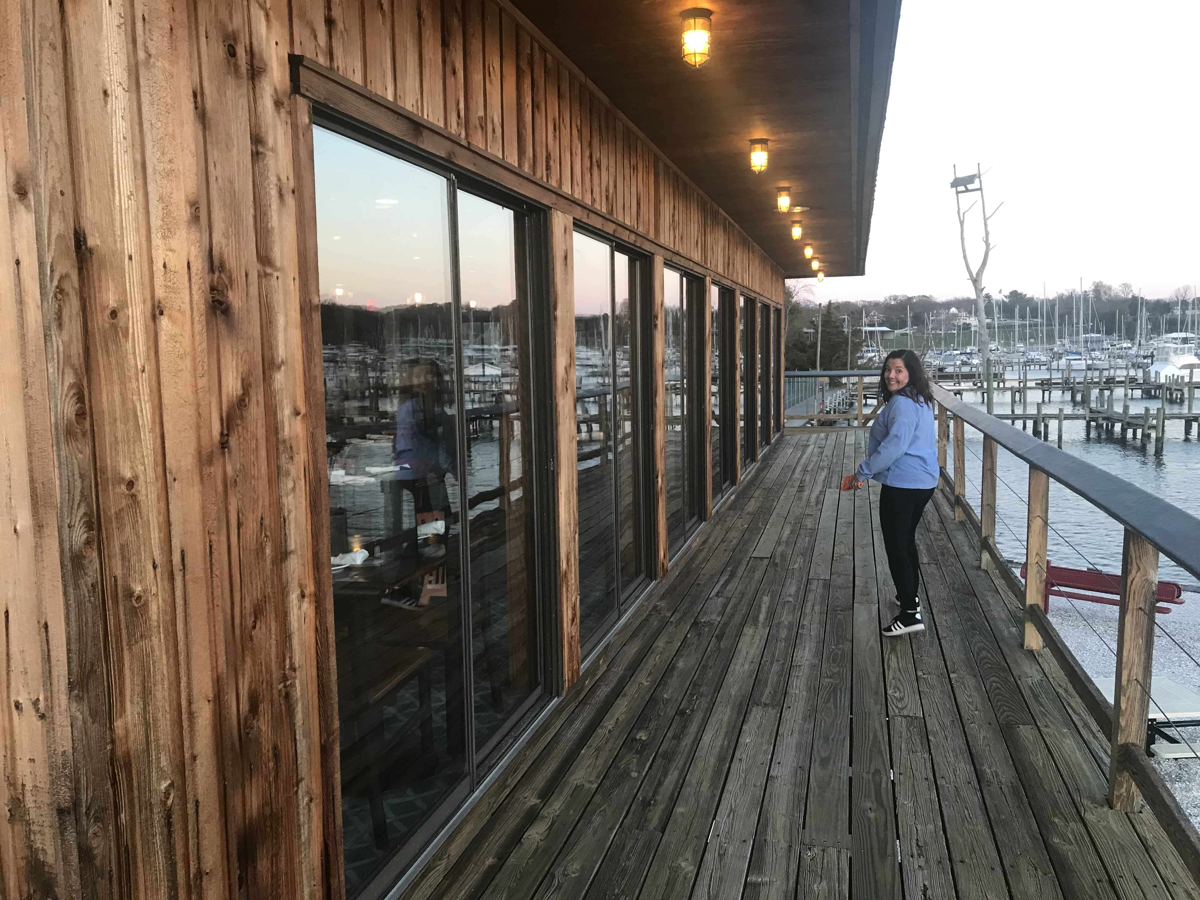
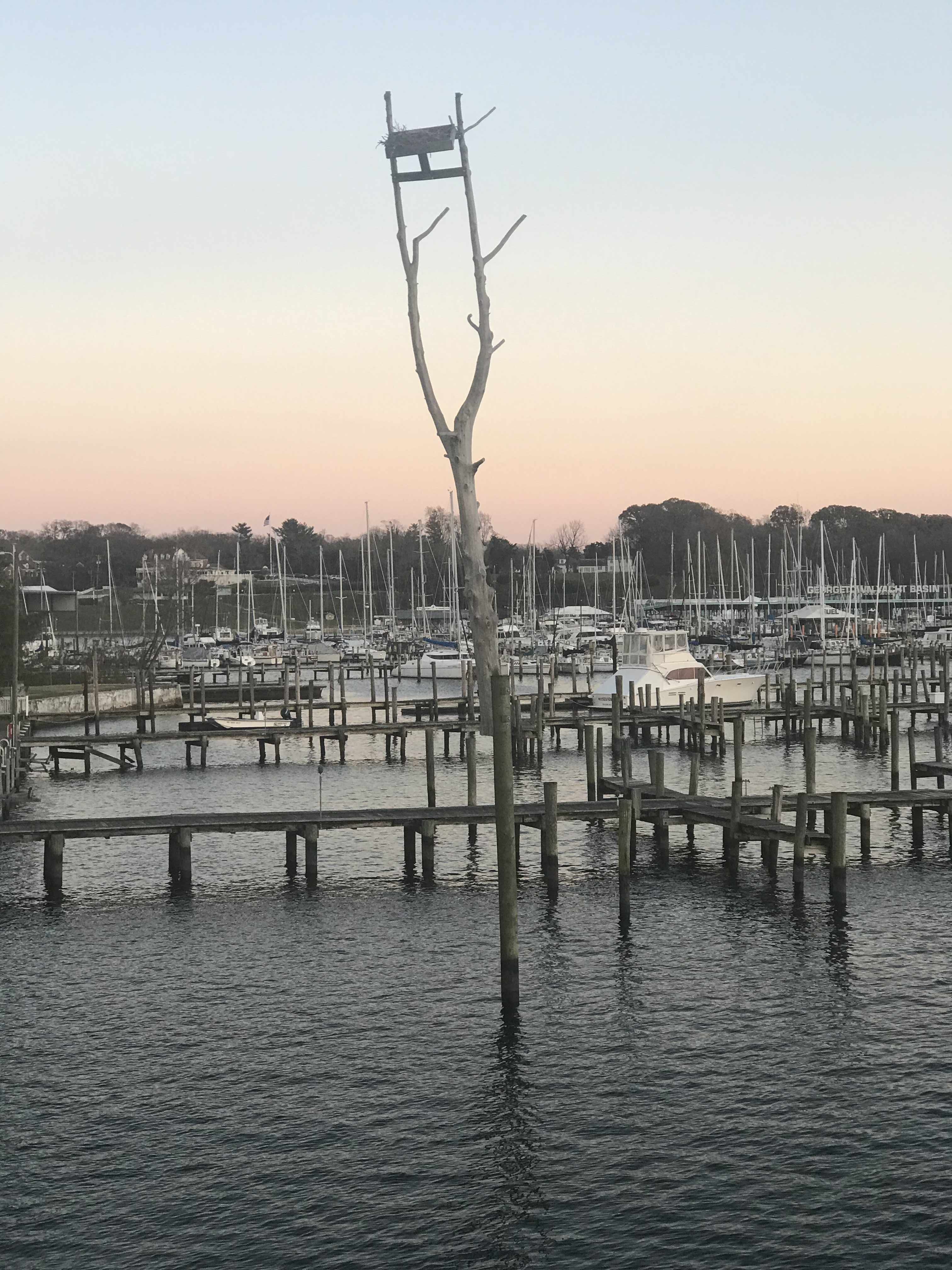
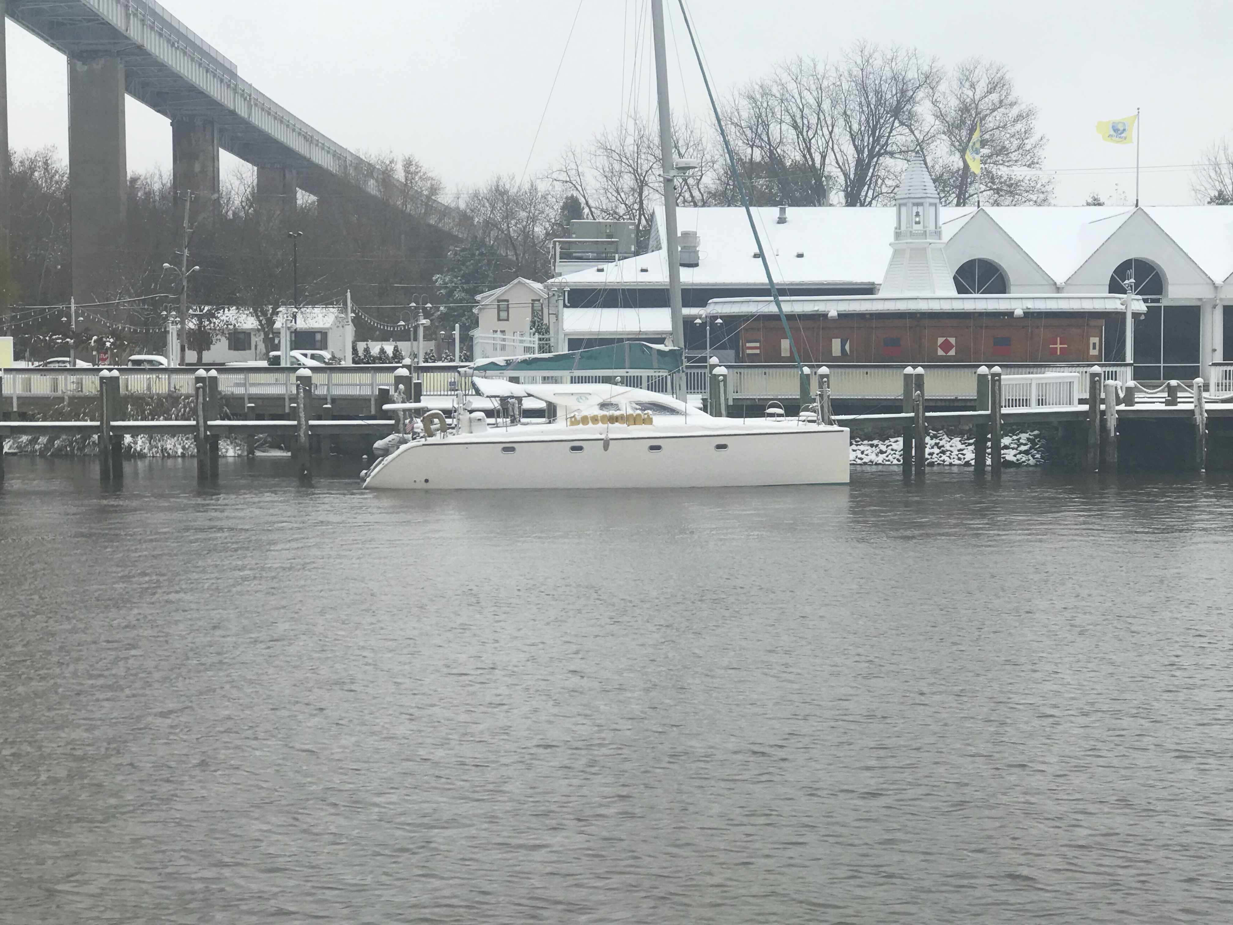
Leaving Top Rack Marina
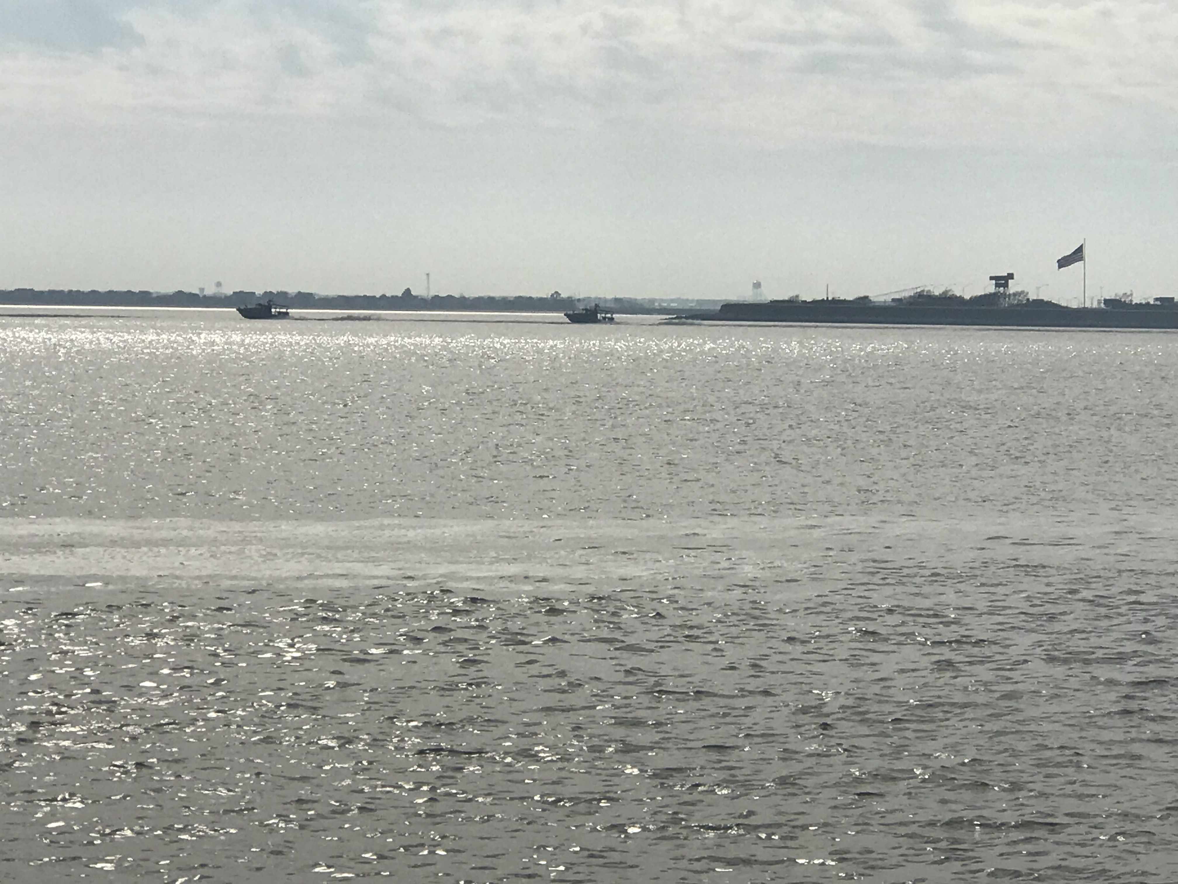
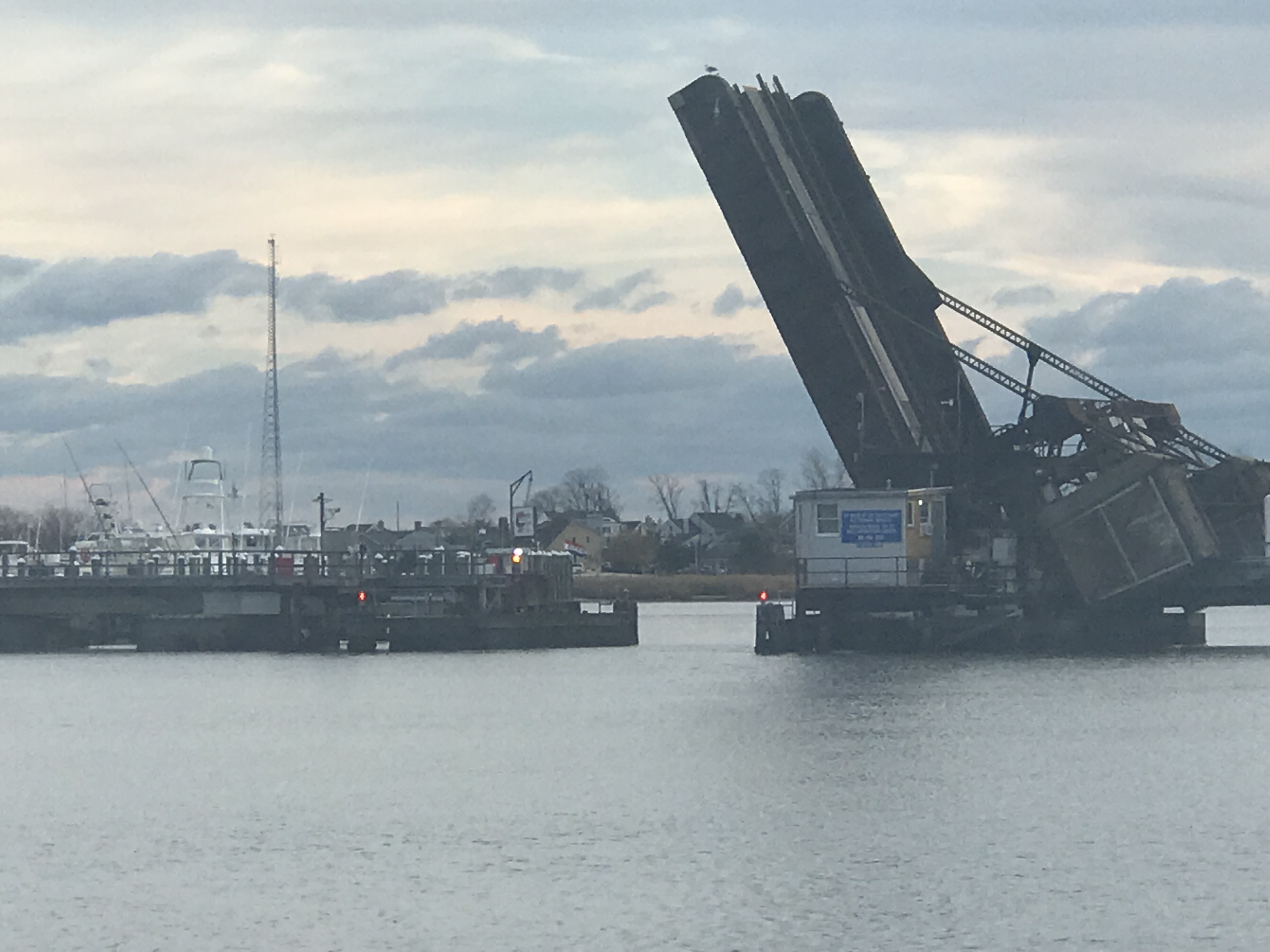
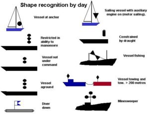
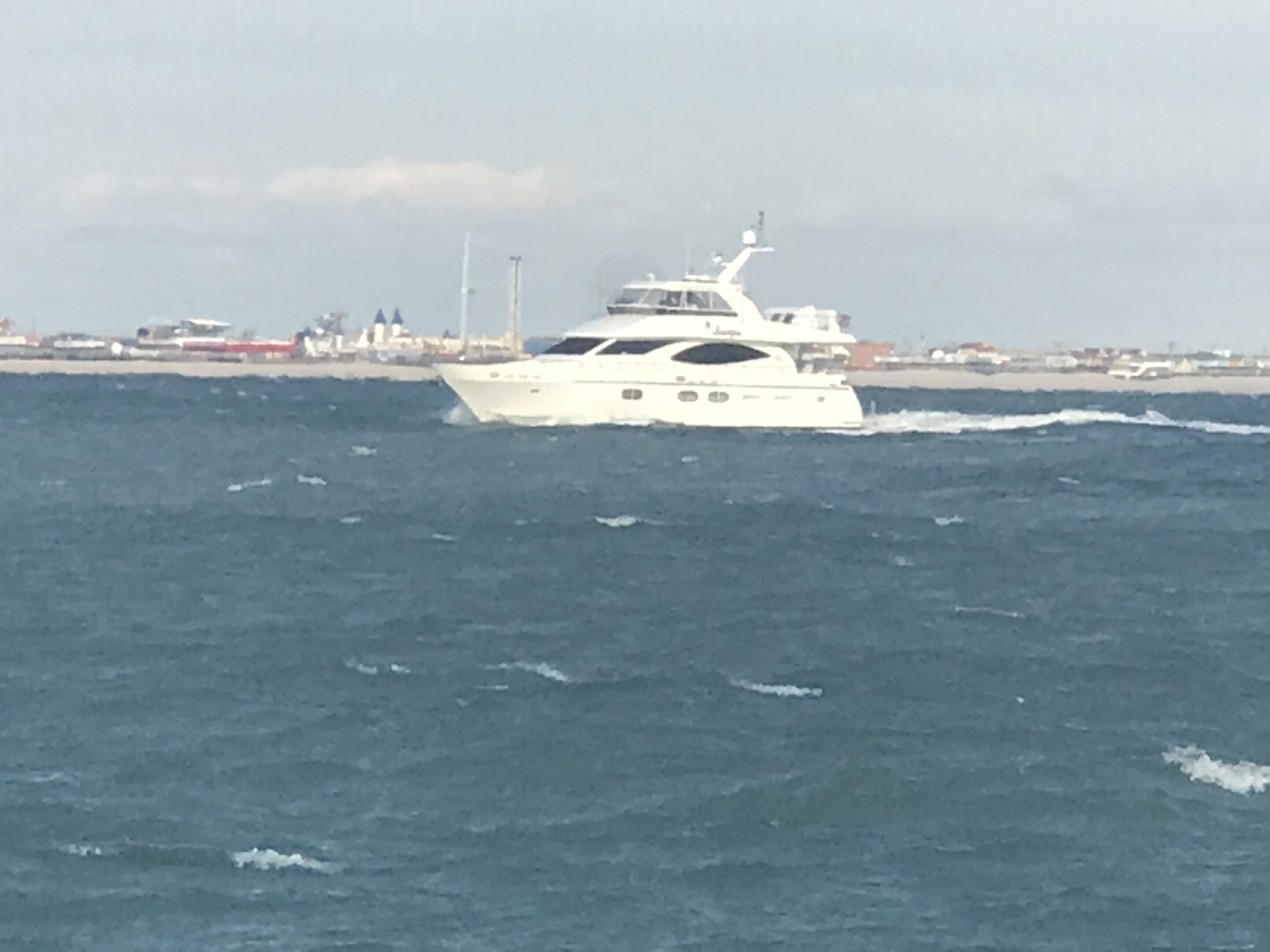
a mile or two South down the ICW is the Great Bridge Lock. The water level only drops 2-3 ft so it’s pretty gentle as far as river locks go. However, the ICW (InterCoastal Waterway) is a federal commerce waterway and that means that it’s there for commercial boats first and pleasure boaters second. We had a stand aside while the lock tender let this huge tug and barge in ahead of us.

They asked us if we felt comfortable trying to squeeze past the tug n barge to get ahead of it in the lock. Challenge accepted.

Soon the gates were swinging open.
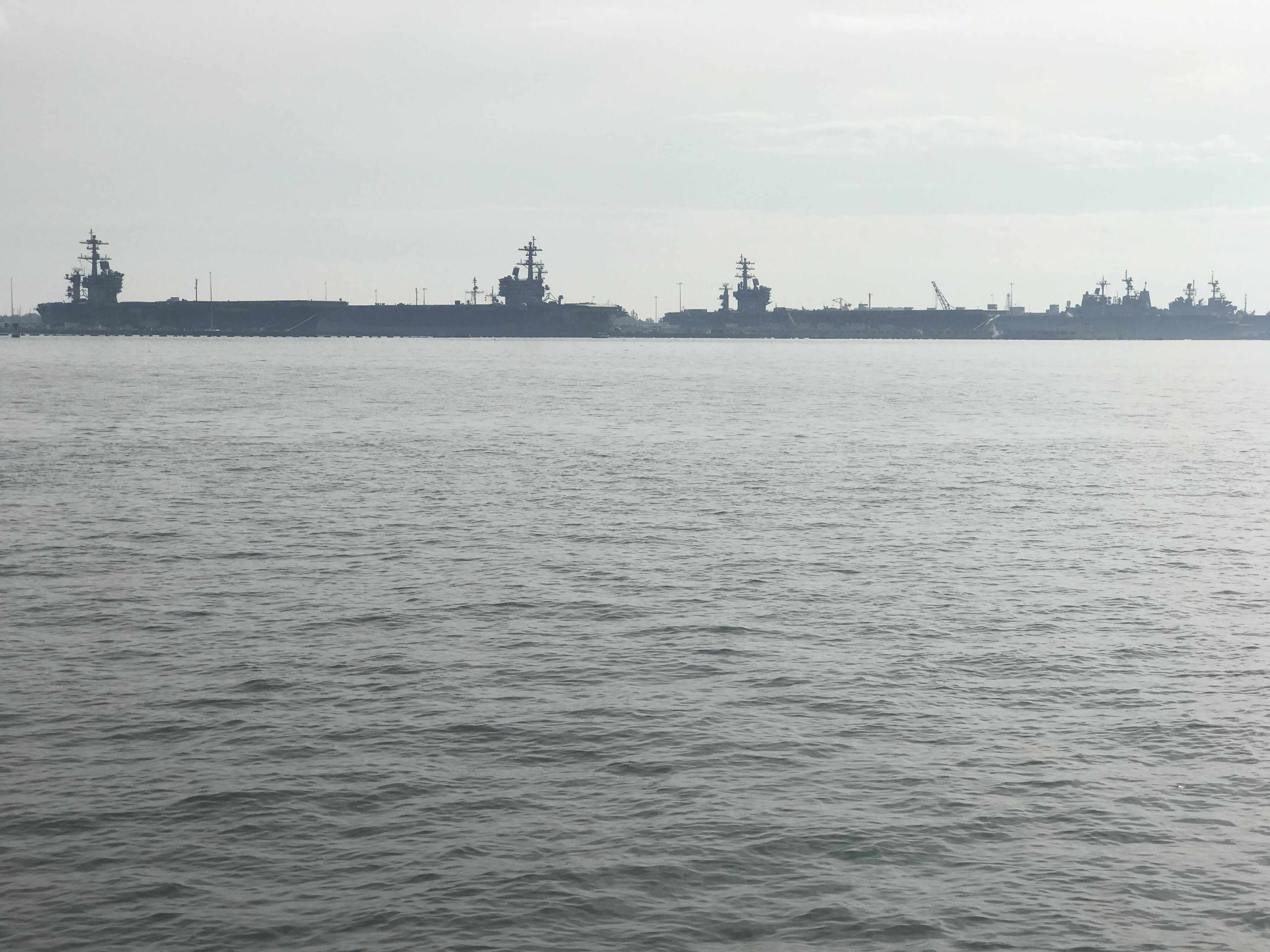
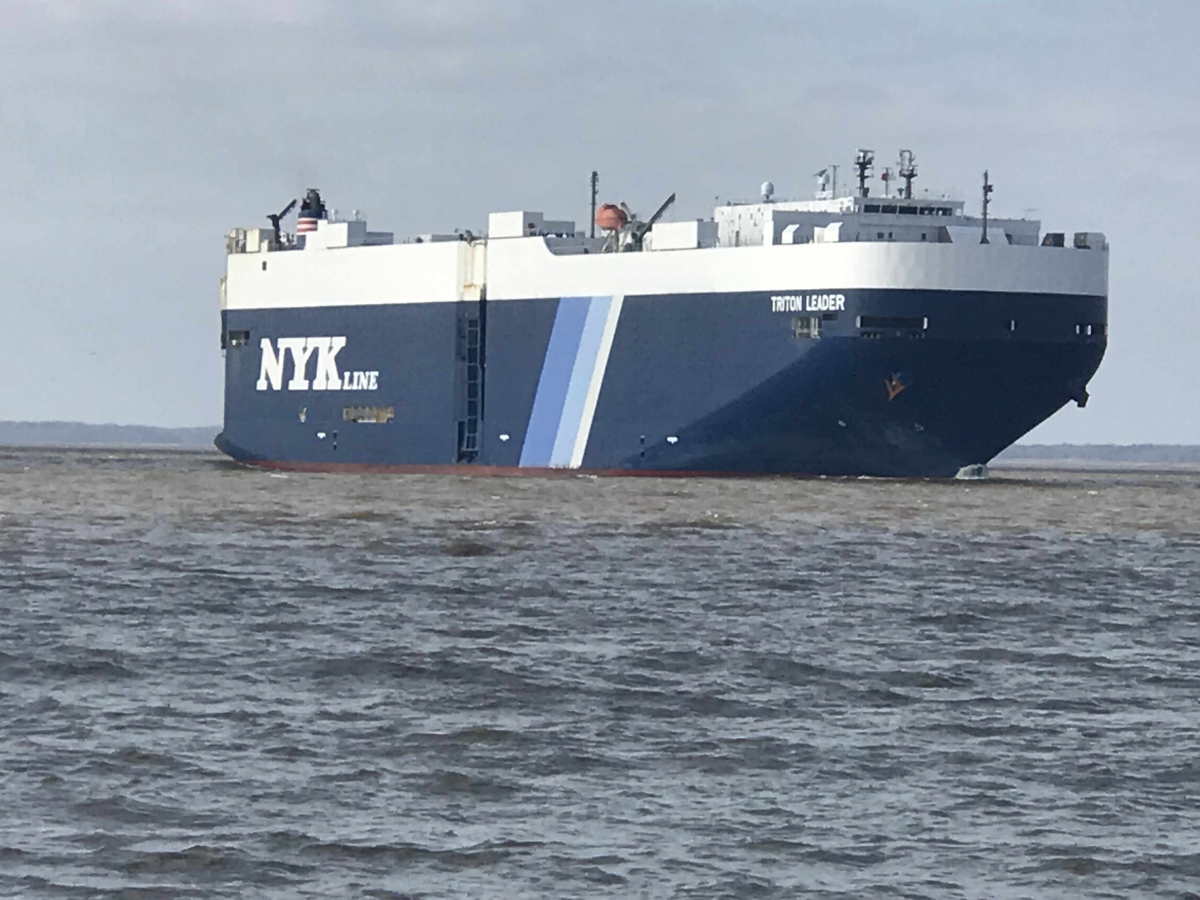
We saw lots of Canadians looking for a warmer winter

We passed through the Centerville Turnpike Swing Bridge
Then it was through the “normally open except for when a train is a coming” bridge.

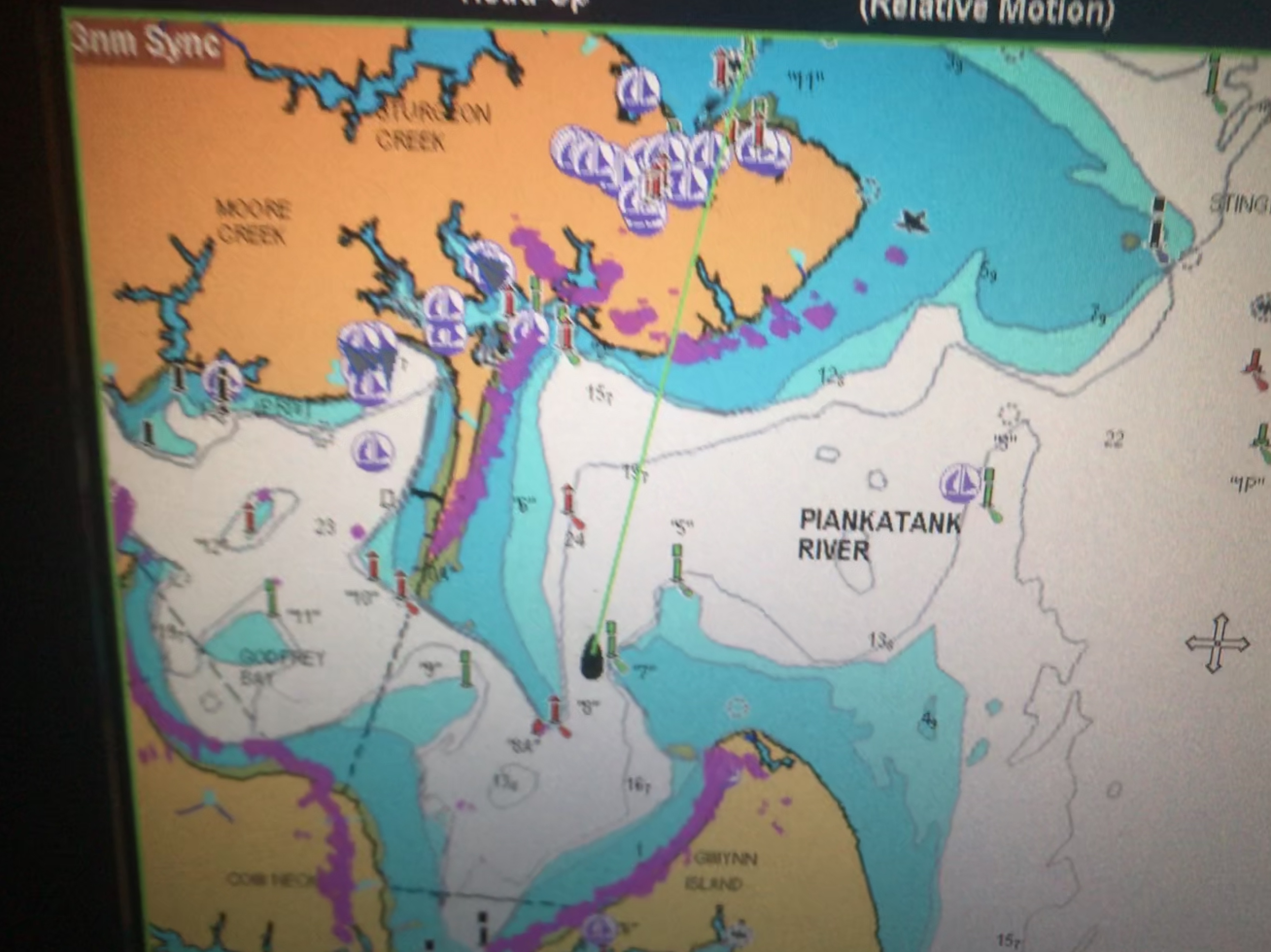
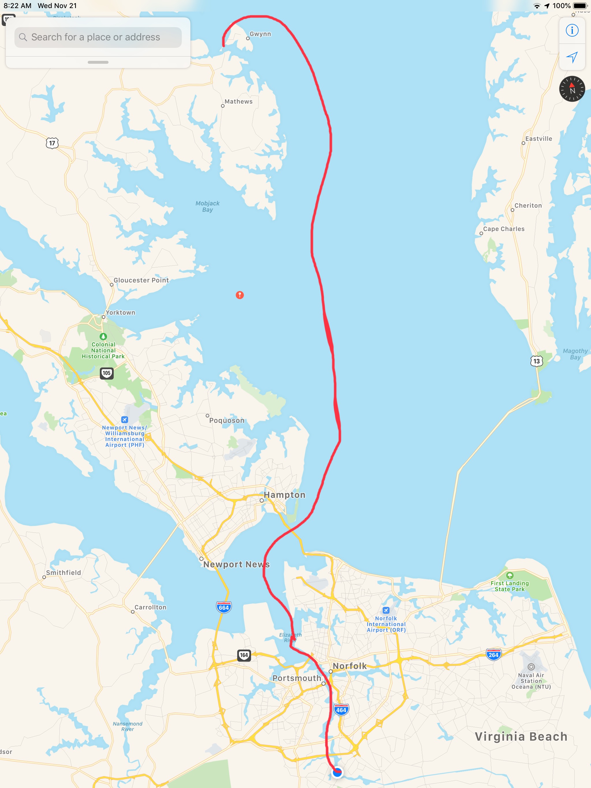
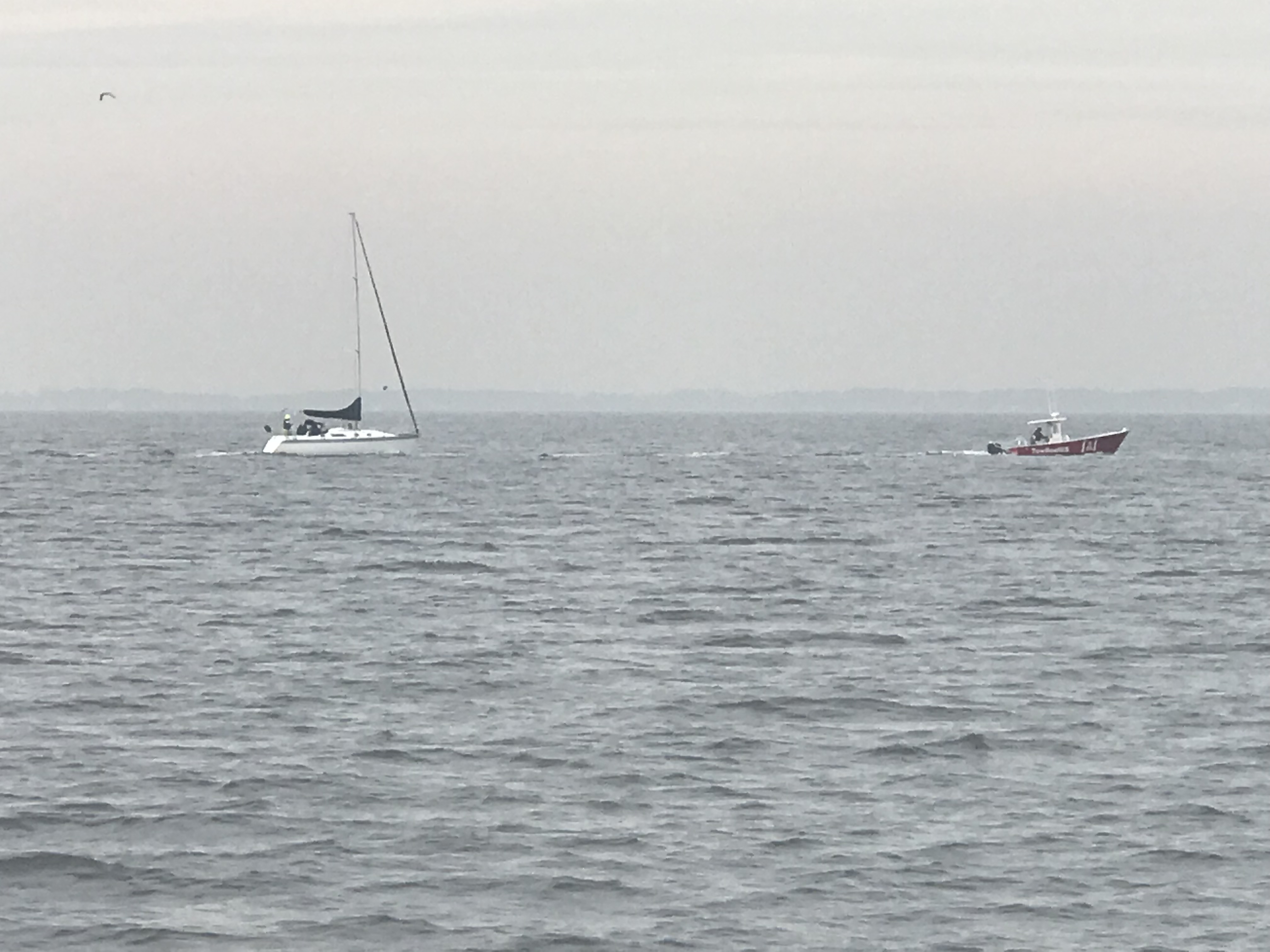
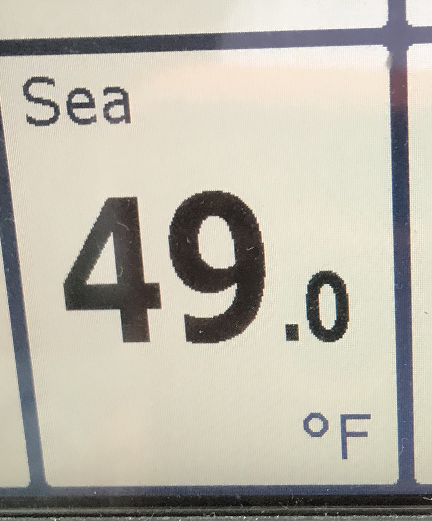
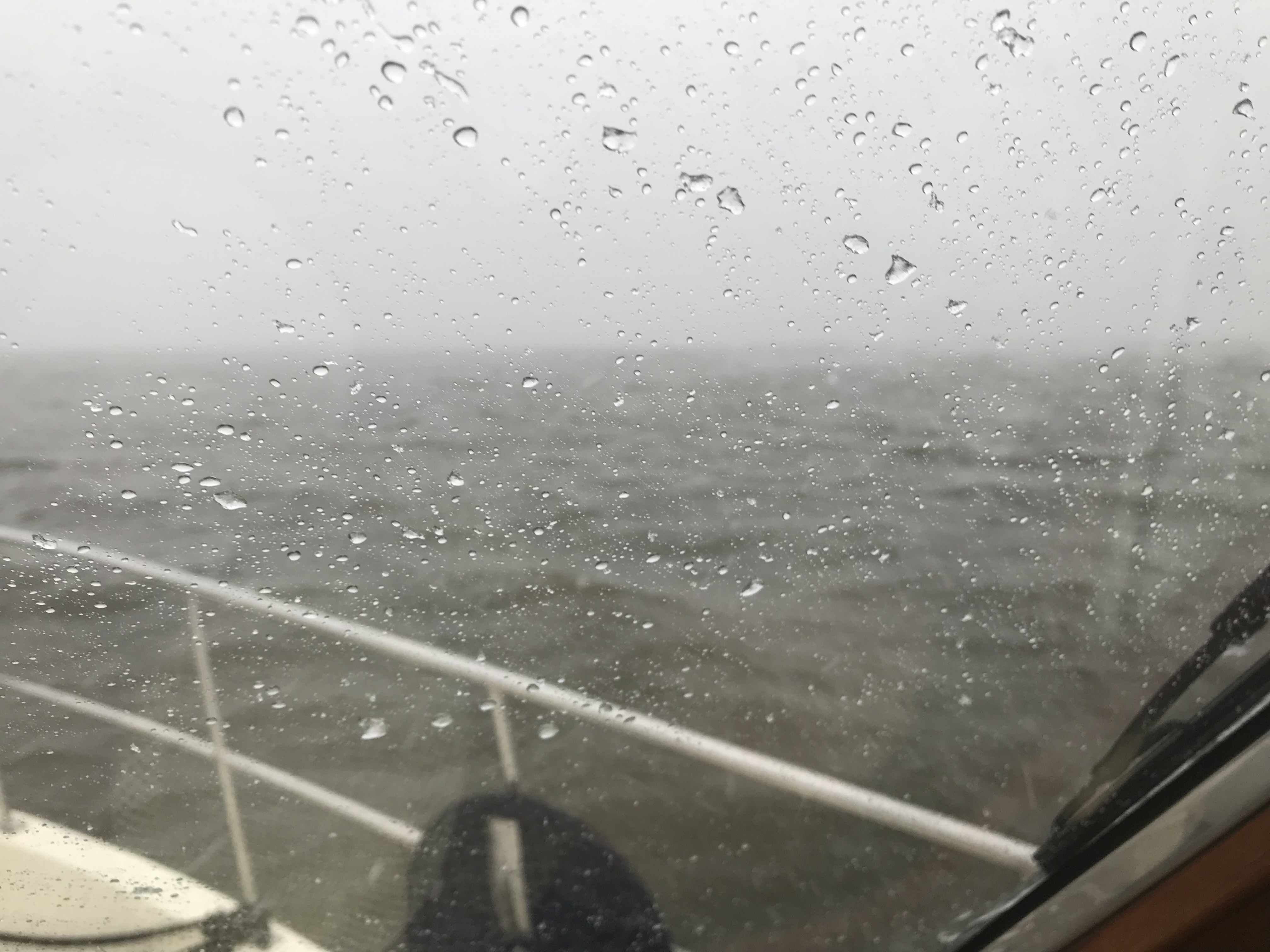
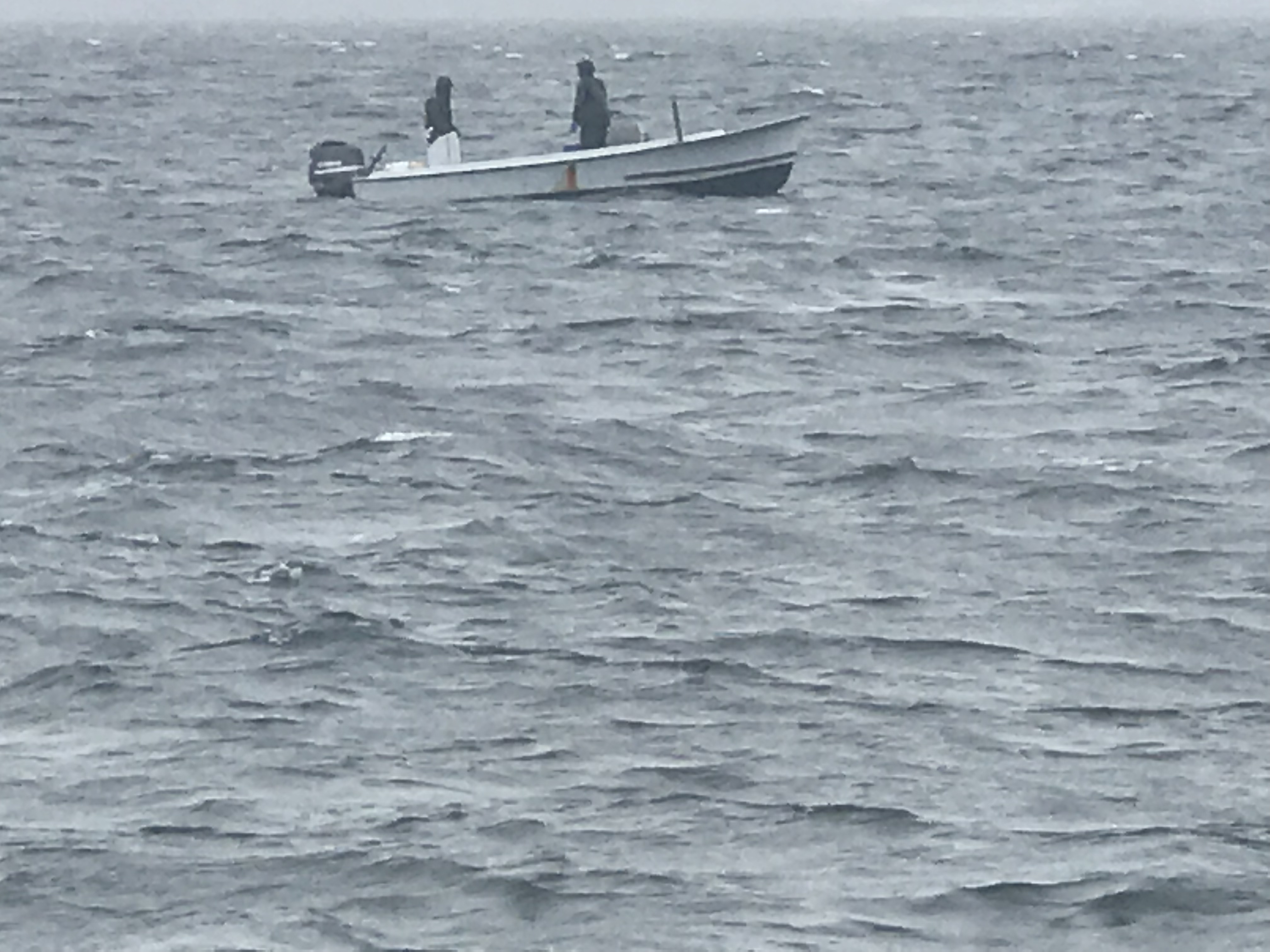
Not long after that we were passing Coinjock Marina in NC. This is normally our stopping point for the night but the winds were going to increase early in the AM so we decided to anchor just before our Albemarle Sound crossing. On our way to our anchorage we heard a sailboat on the VHF hailing TowBoatUS to come pull them out of the shallows. It was 1.5 hours before low tide so it was only going to get worse.
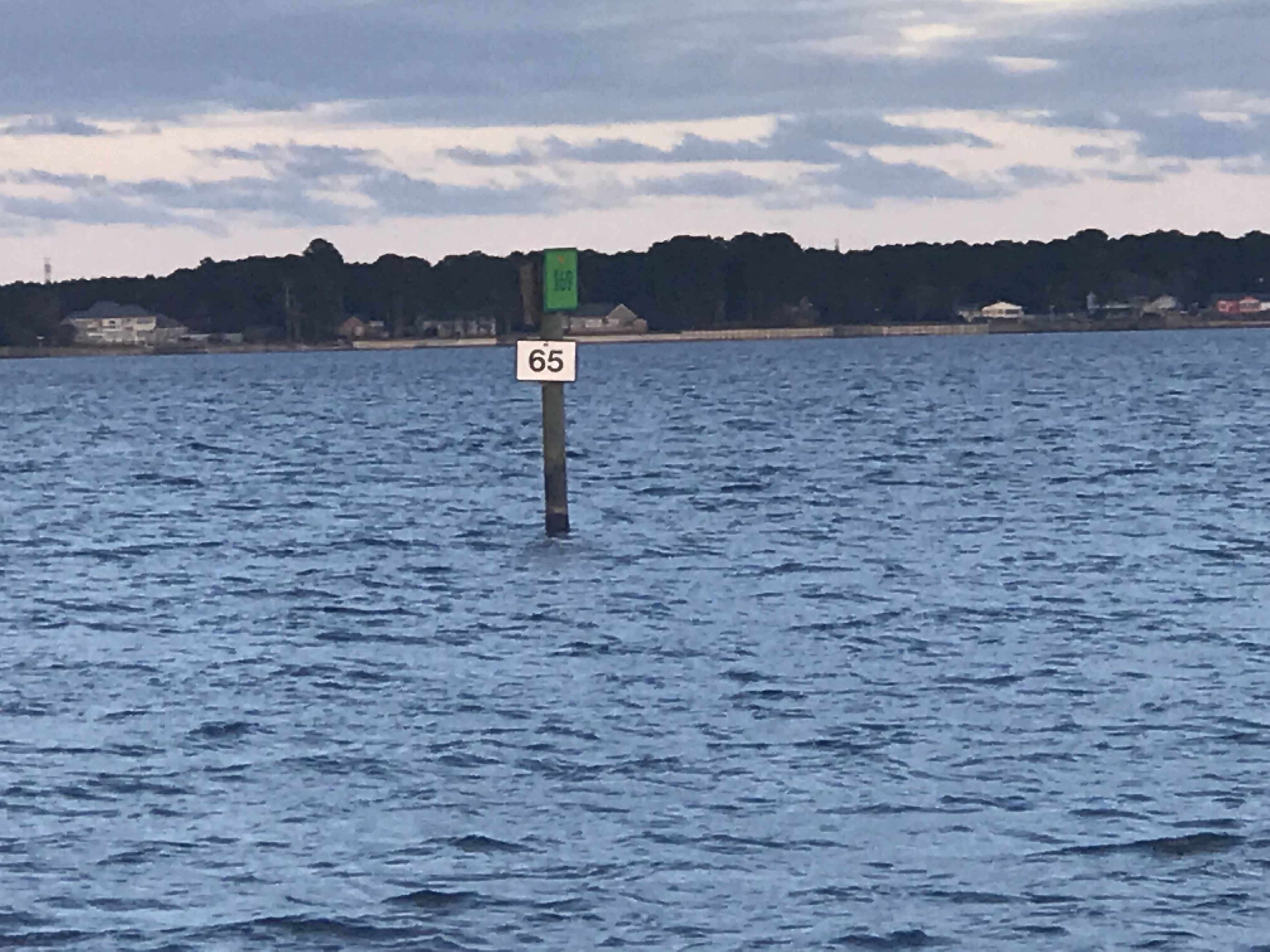
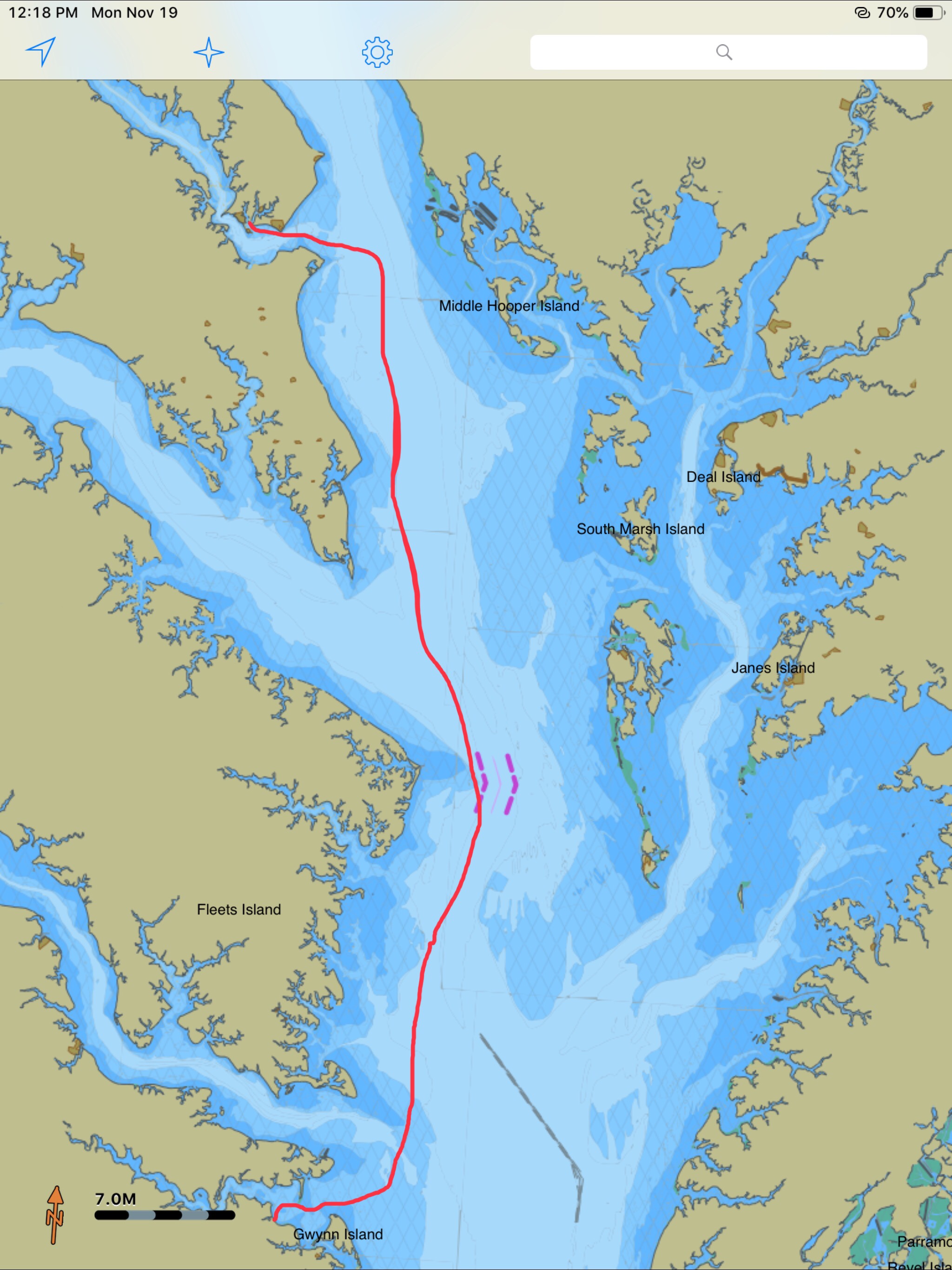
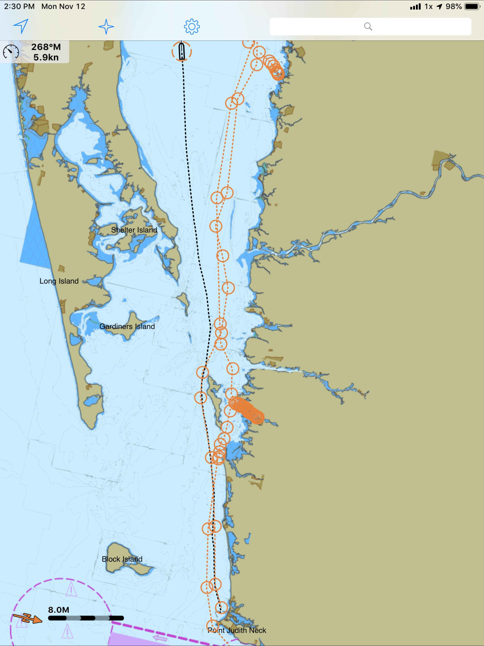
Soon we were passing ICW mile markers 55 & 65 and approaching our anchorage for the night.

I did one last check to see if the weather forecast had changed and … it had.

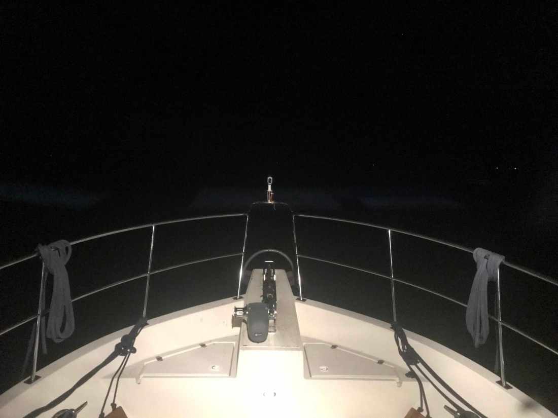
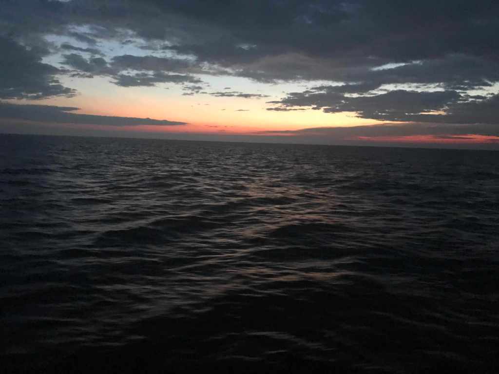
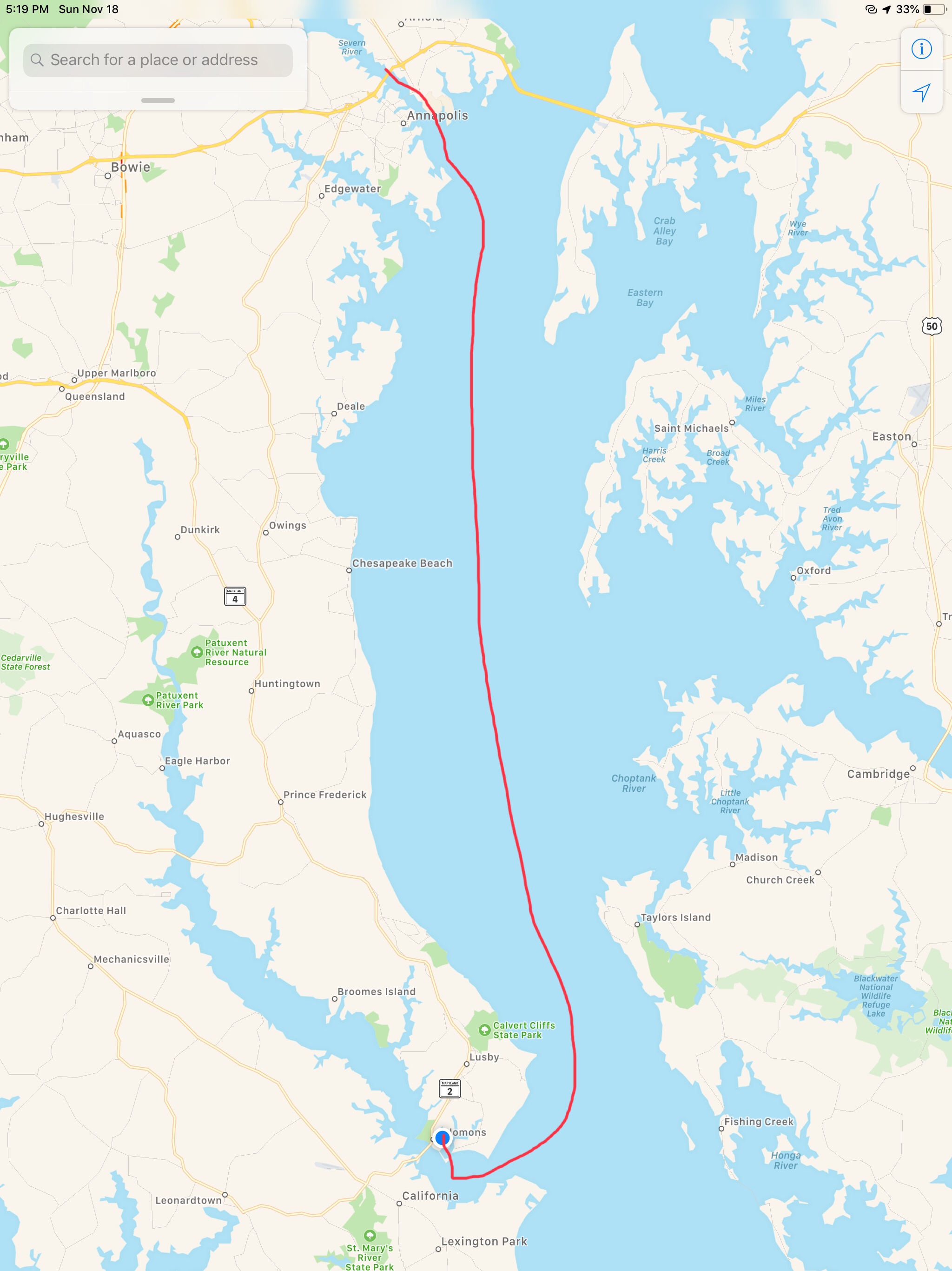
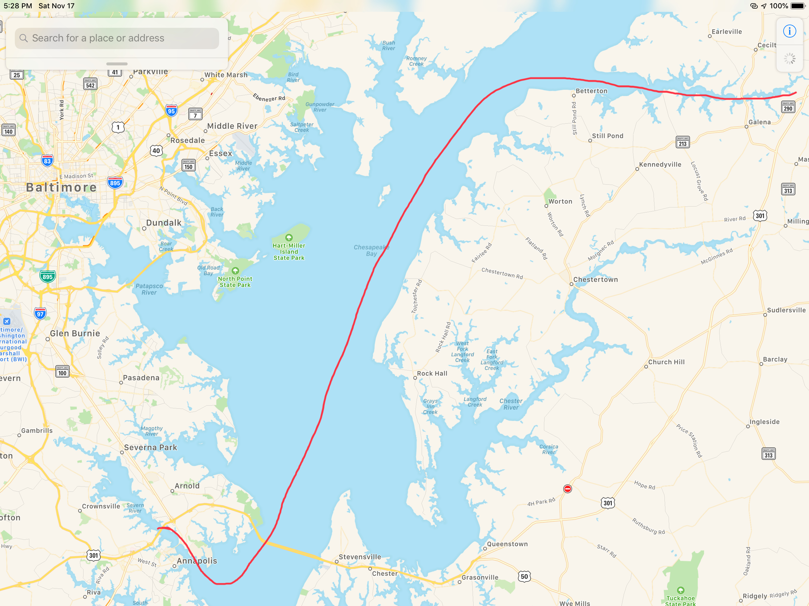
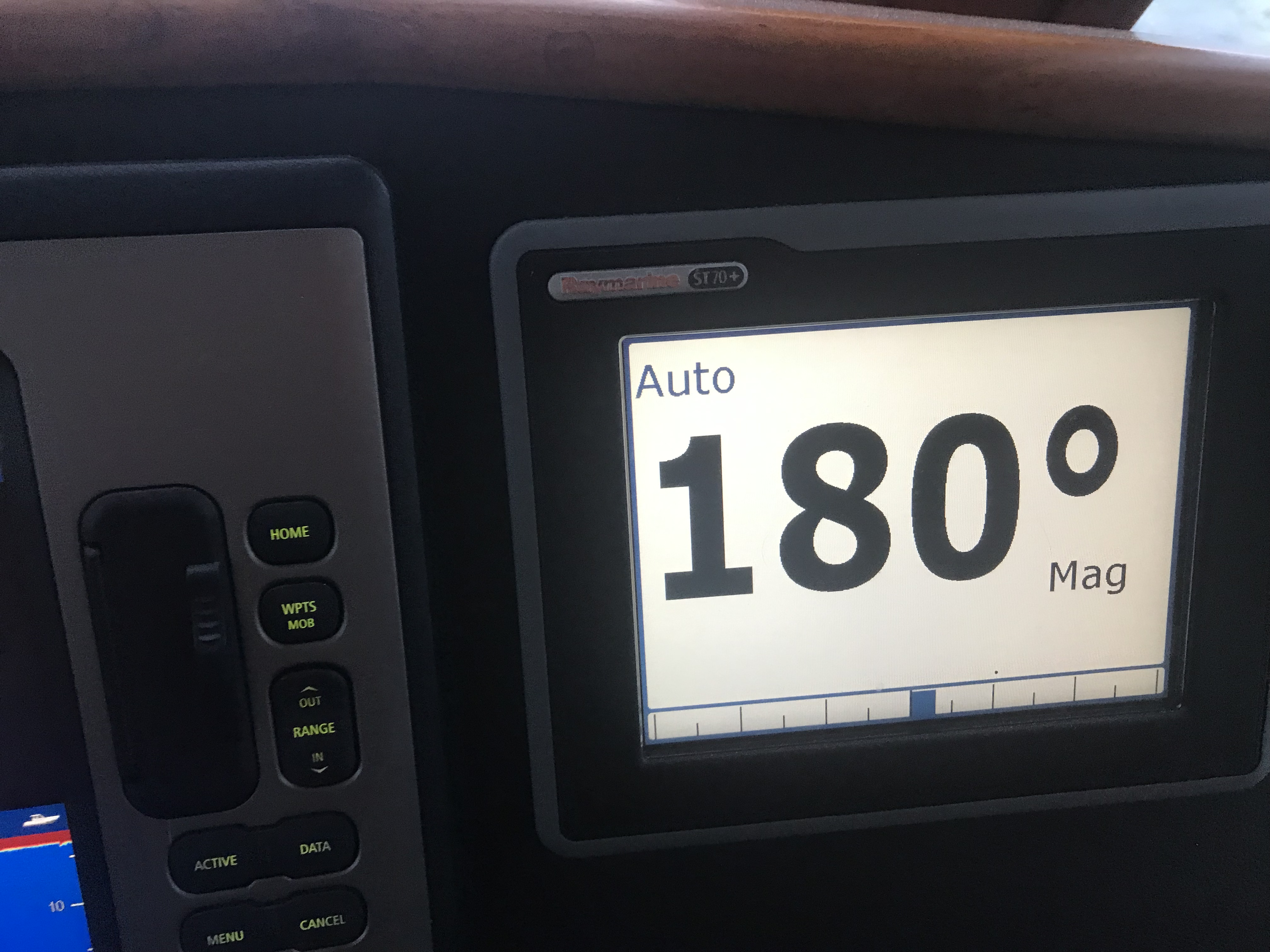
The strong winds were going to come before sunrise so Kelly & I decided do a nighttime crossing of Albemarle sound and anchor in the Alligator River rather than have a lumpy crossing in the AM.
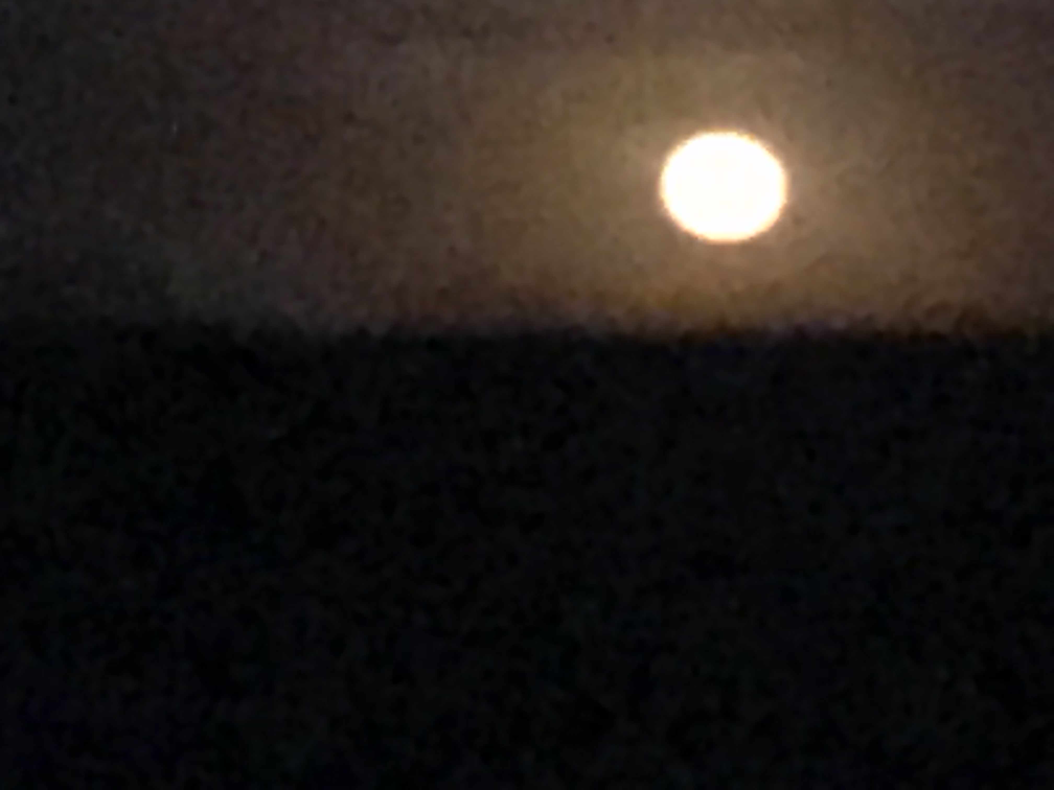
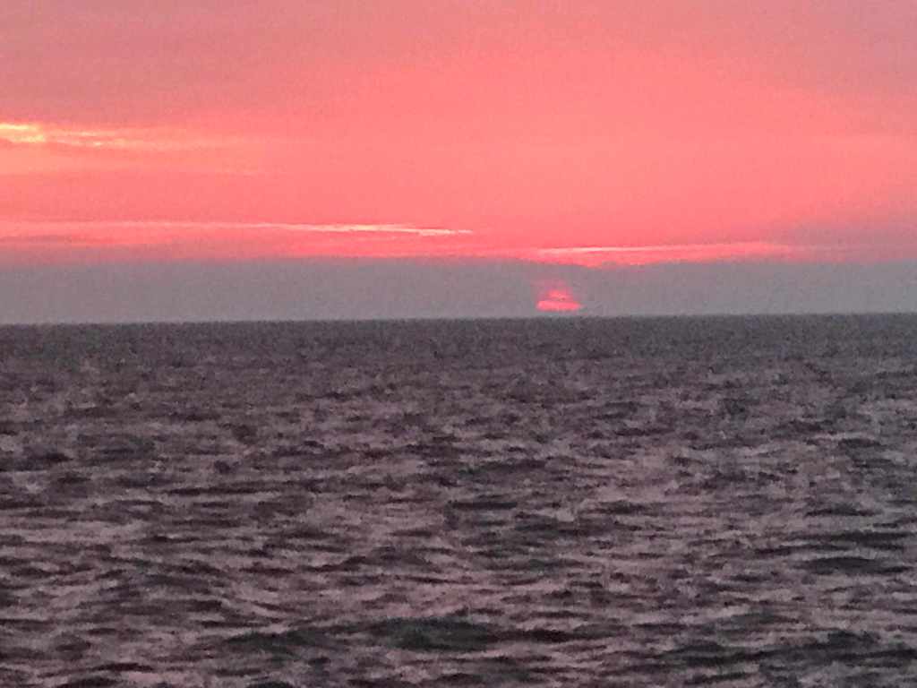
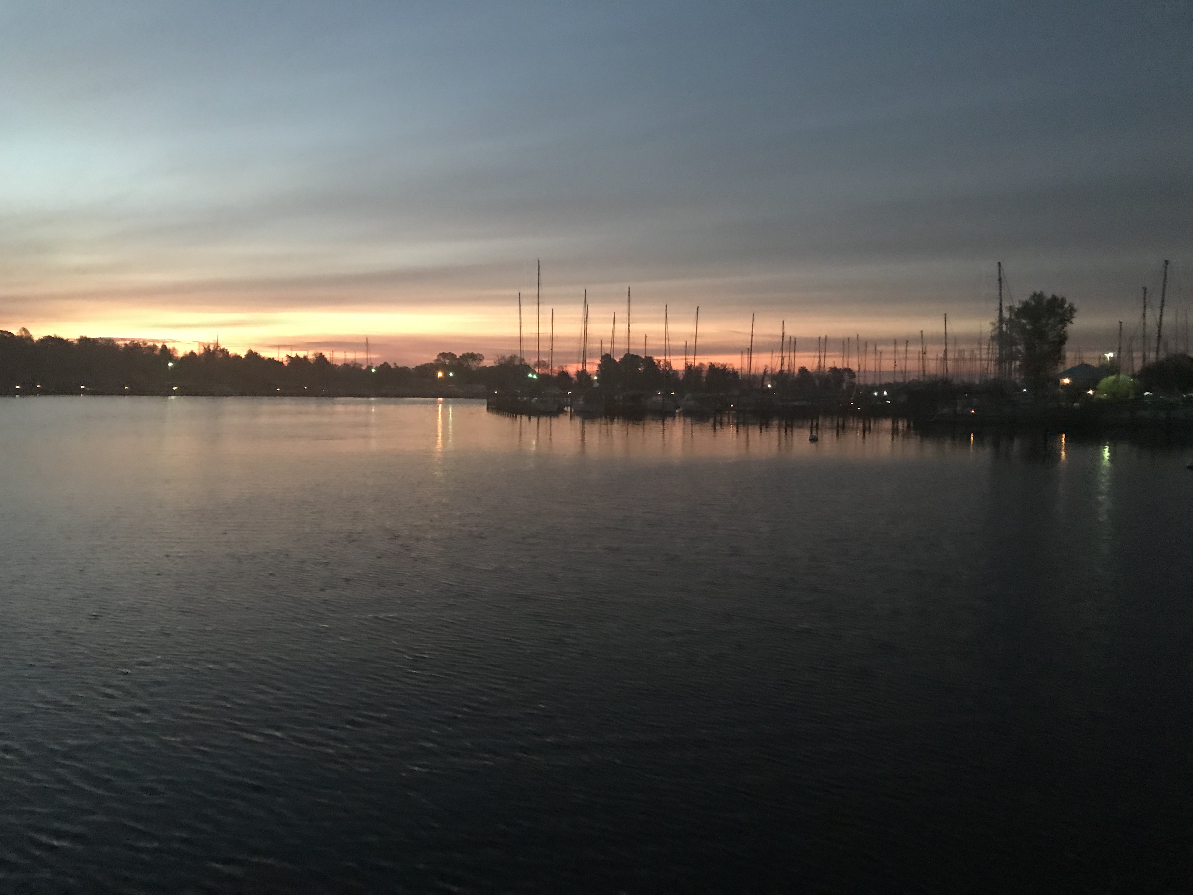
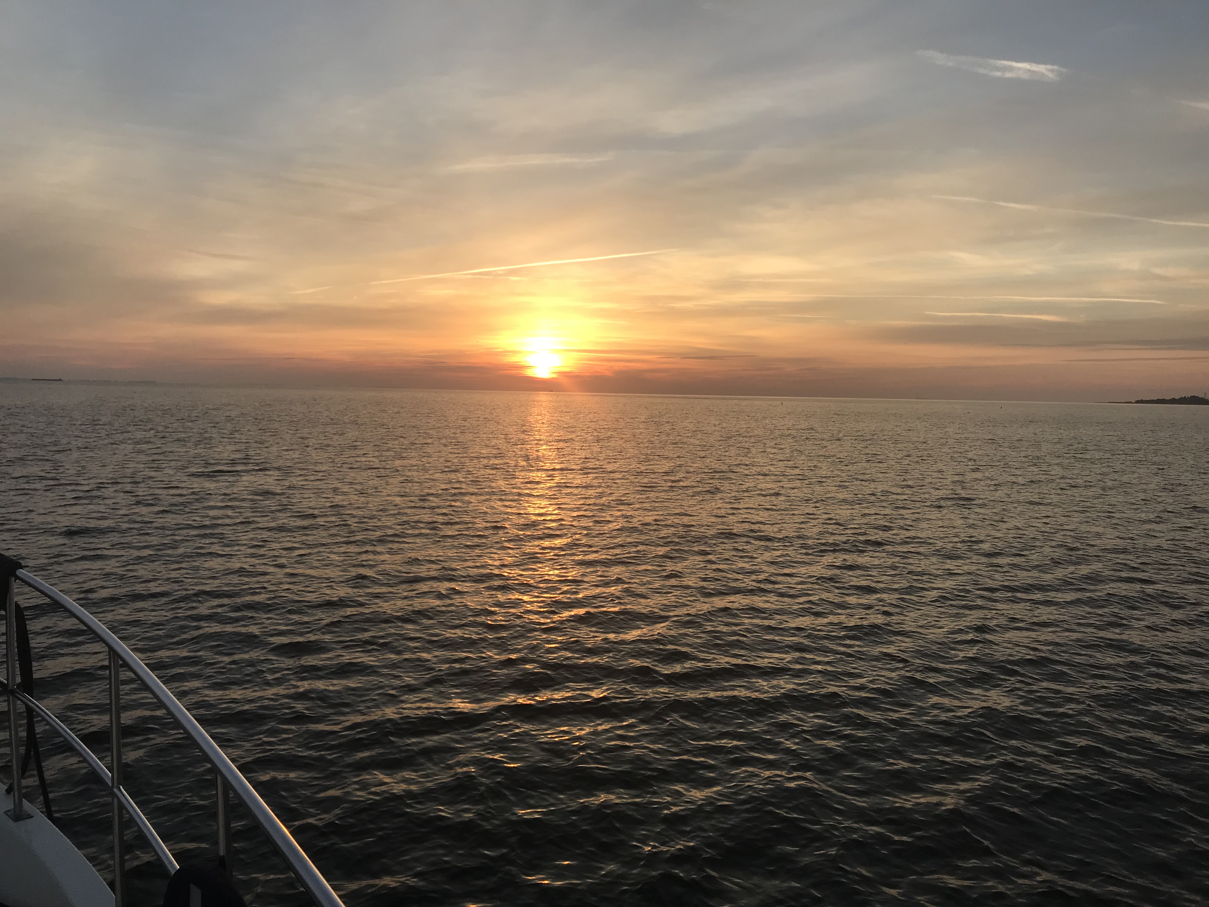
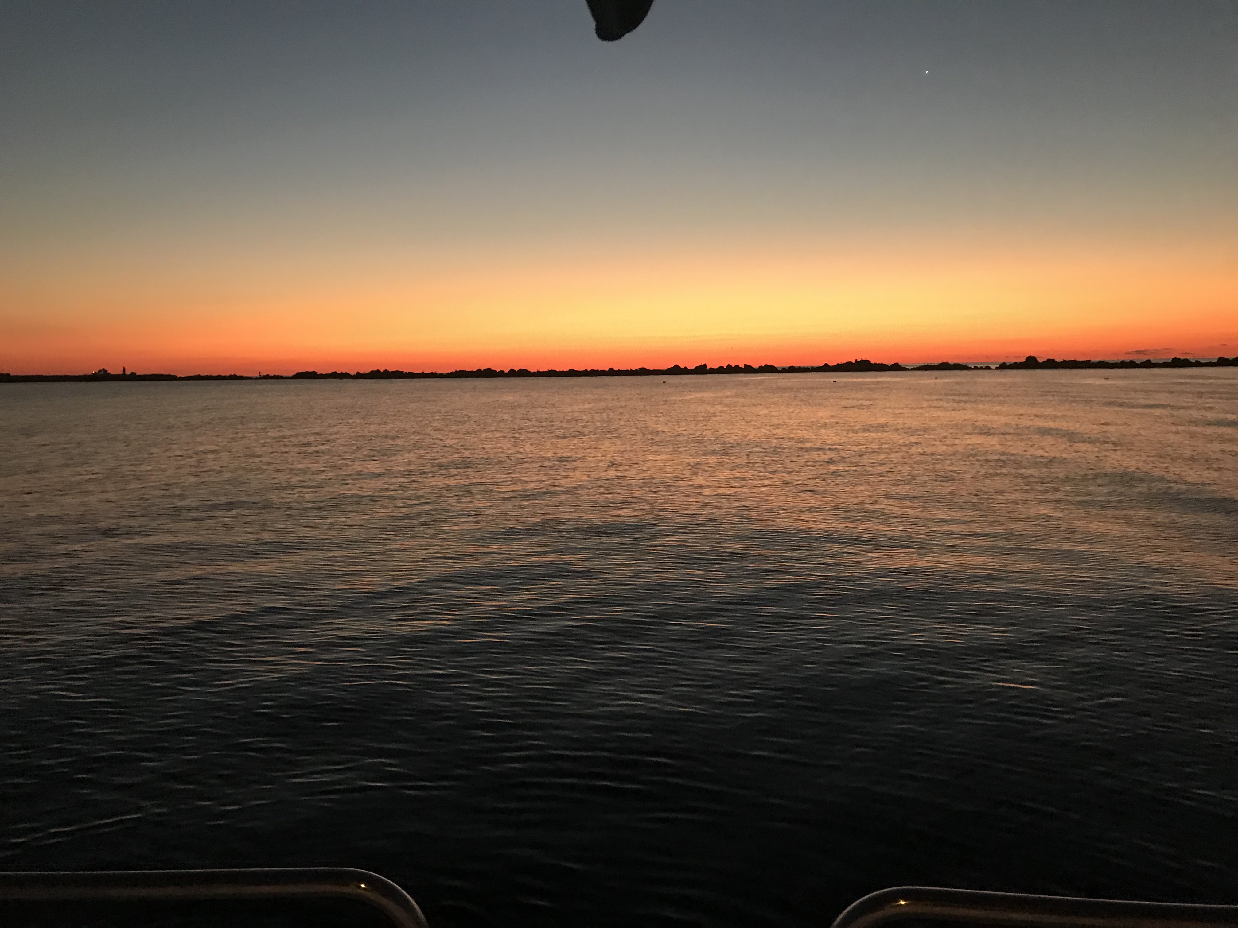
Just before the sun went down we snapped one more photo.

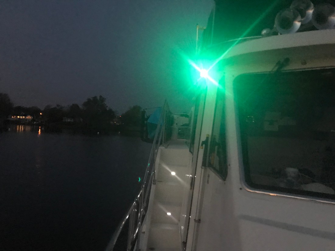
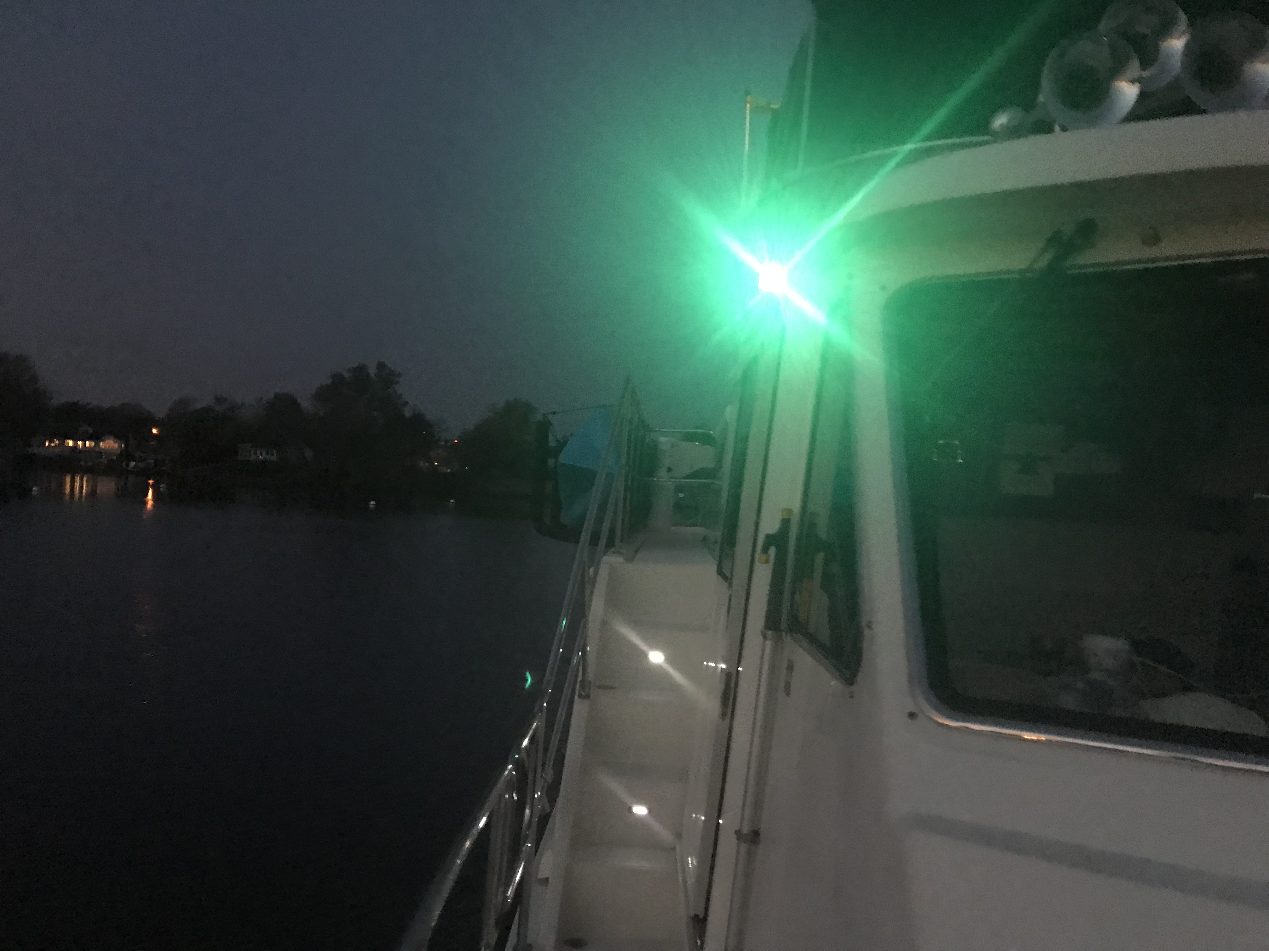
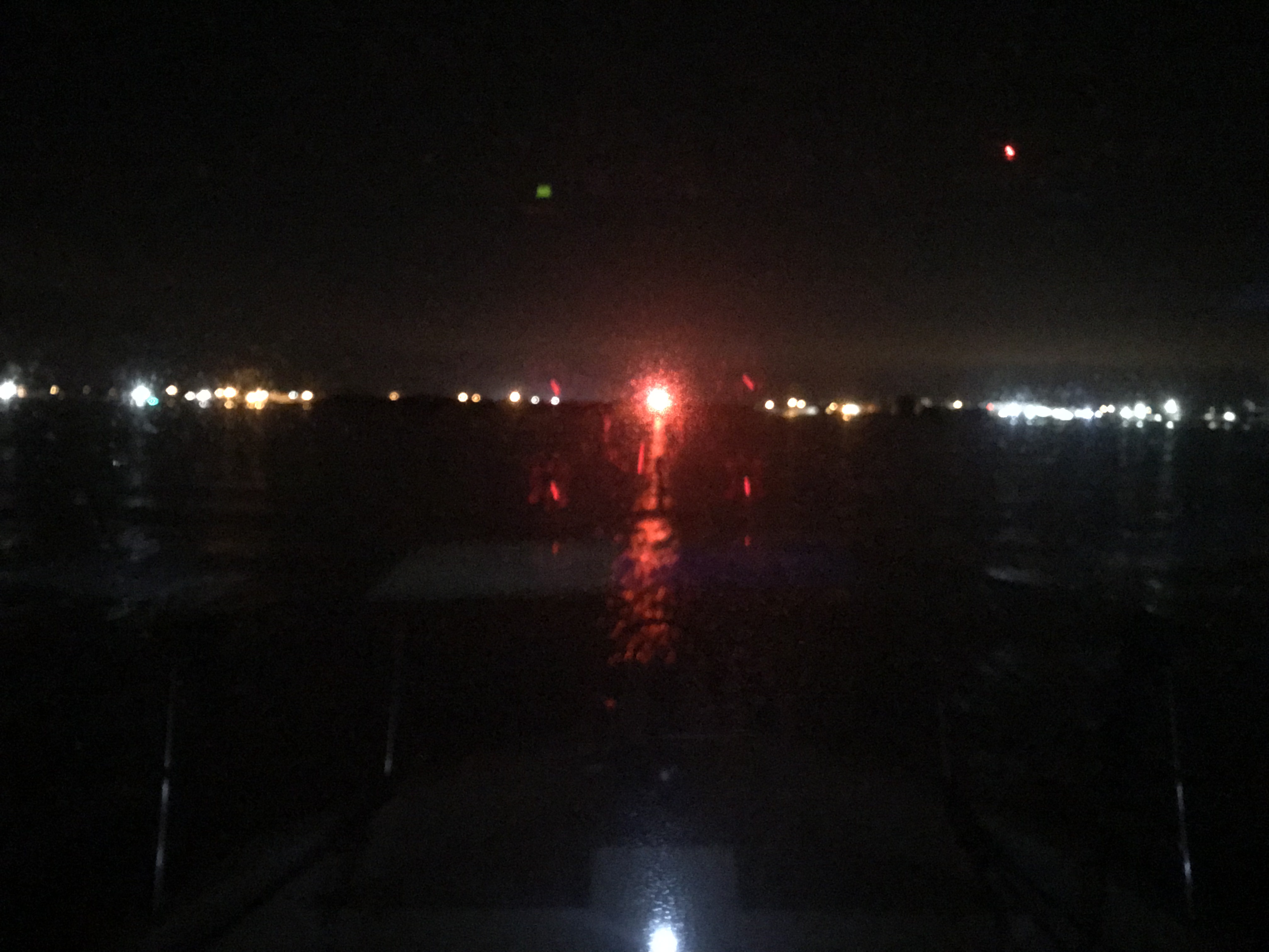
The full moon came up but we were not running into it but away from it. I always prefer to run down the moonstreak as it helps me spot crap pot floats before we run them over and wrap the line around our propeller.
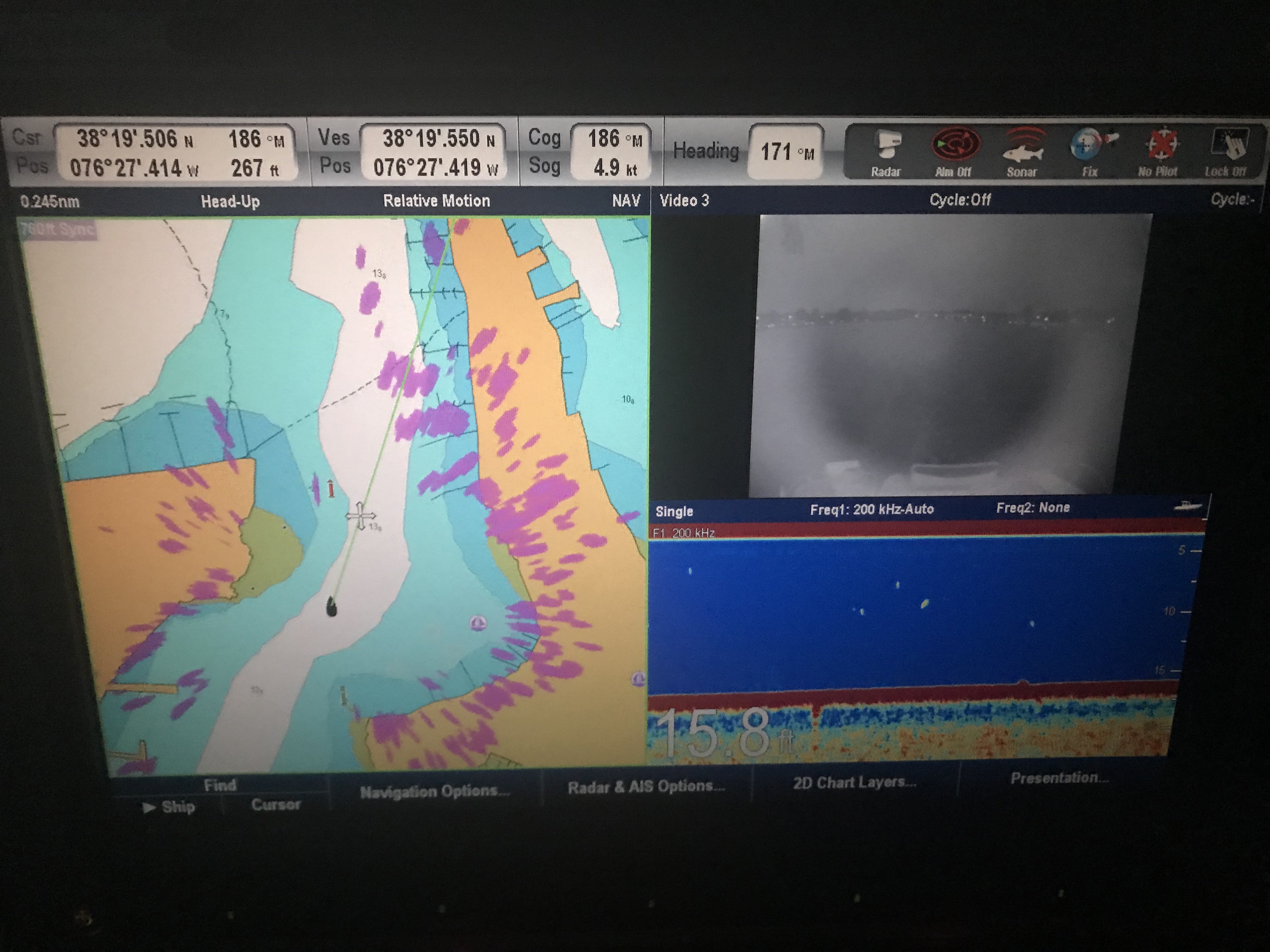
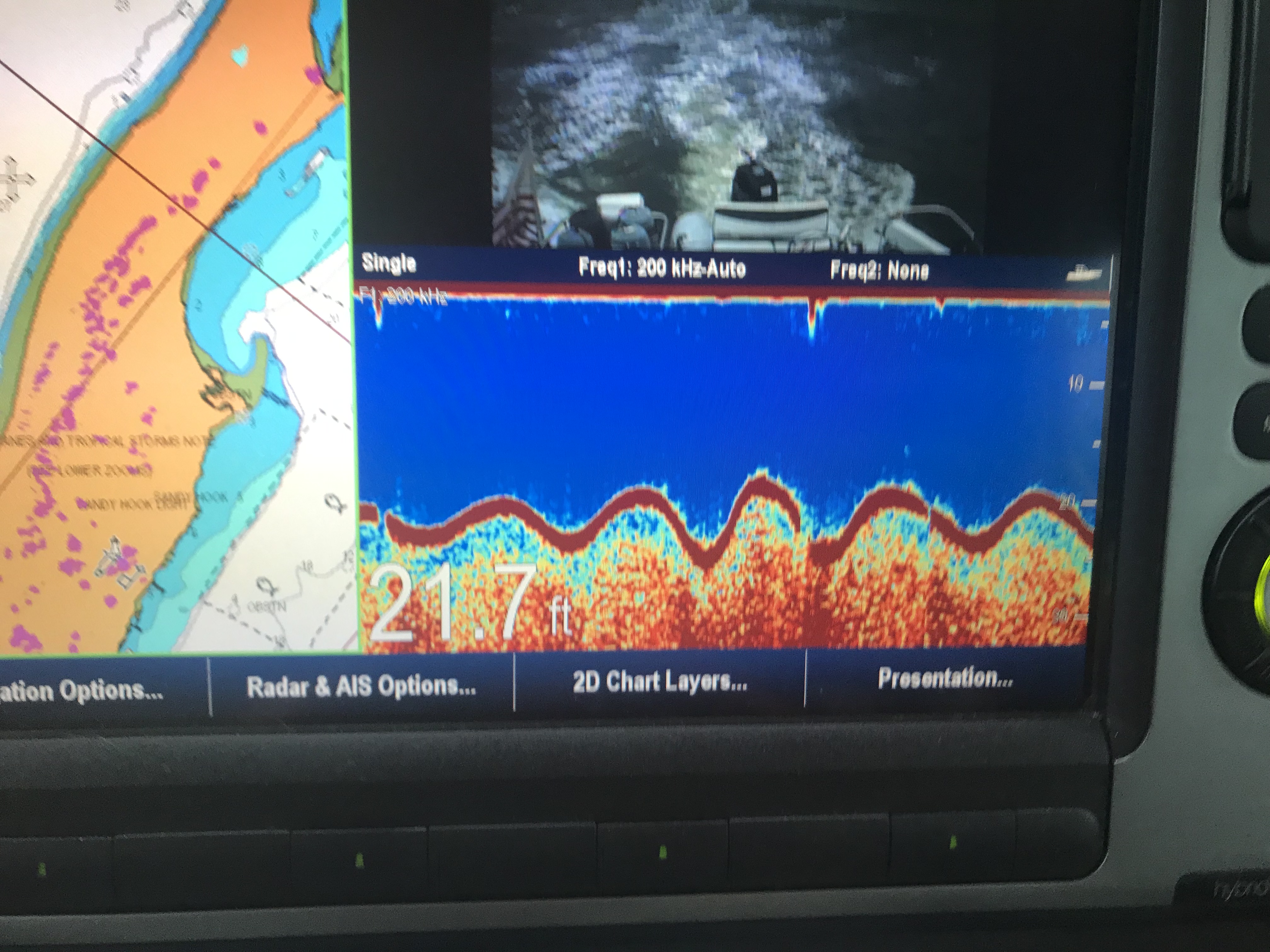
The crossing was a bit lumpy but we picked a spot to anchor behind Durant Island that would give us a lee shore. Tonight we will sleep well and get plan for a sunrise departure before the wind starts to whip in the AM.
Today’s leg was 70 NM from Chesapeake, VA to Durant Island, NC. This year we agreed to throttle-back to somewhere in the 6 knot range and stay in the 3 NM / gallon diesel range. We conservatively plan to make 50 NM / day. That’s 10 hours of daylight x 6 kts minus time weighing / dropping anchor and waiting for bridges to open.


You must be logged in to post a comment.