
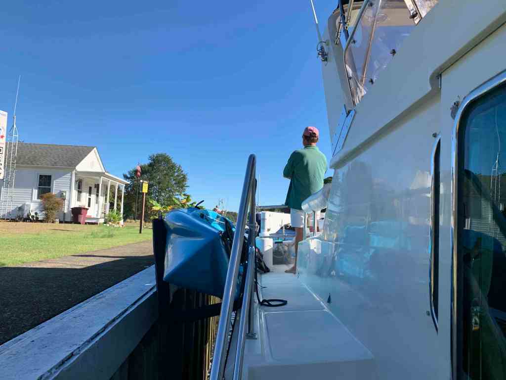
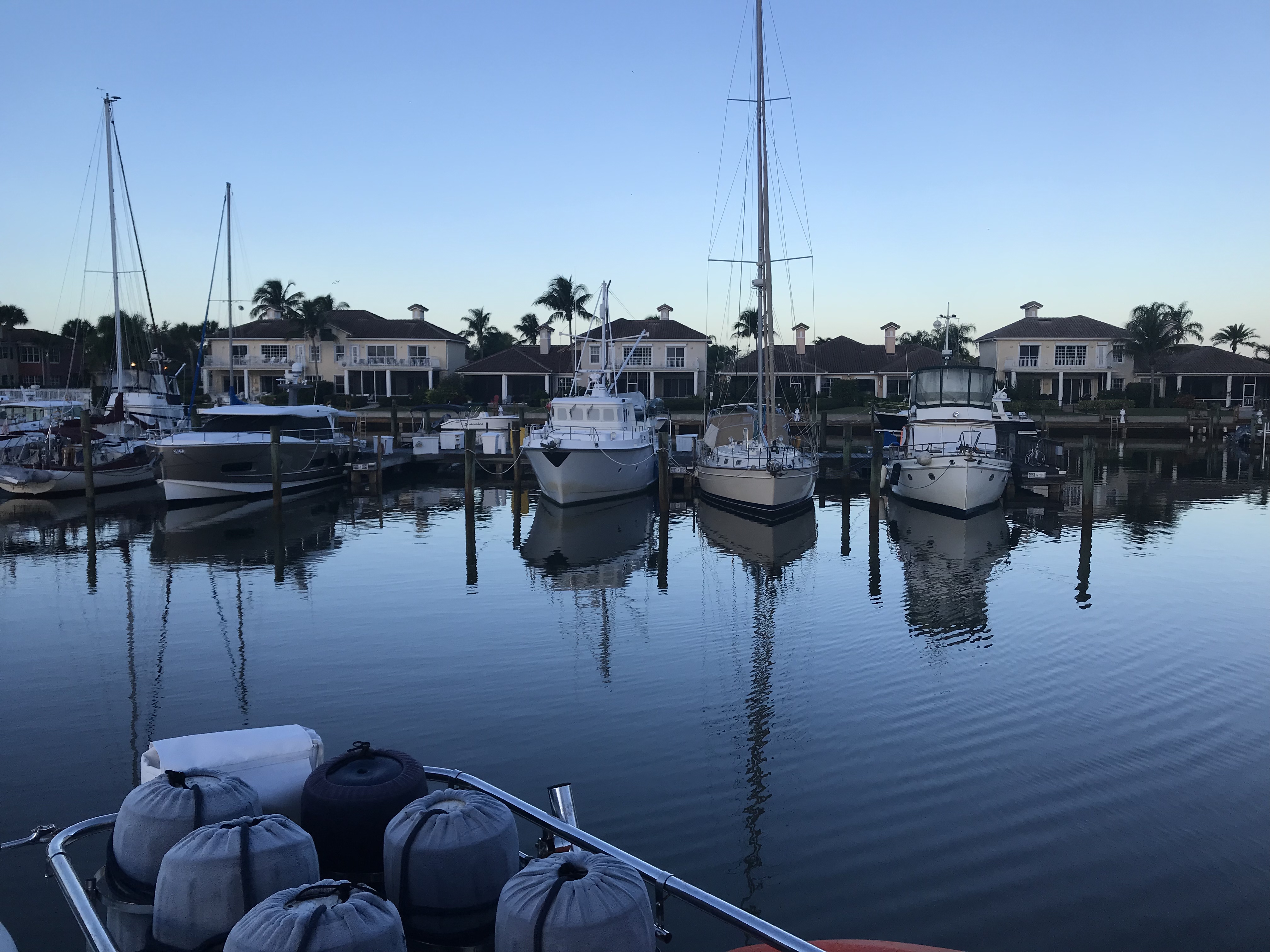
Early the next morning Ron & Teresa of SV Quinita casted off their lines from MV Simple Life. When you are tied to the dock and another boat is rafted to your non-dockside, extracting your vessel can be an awkward dance. They had departed so no dance required.
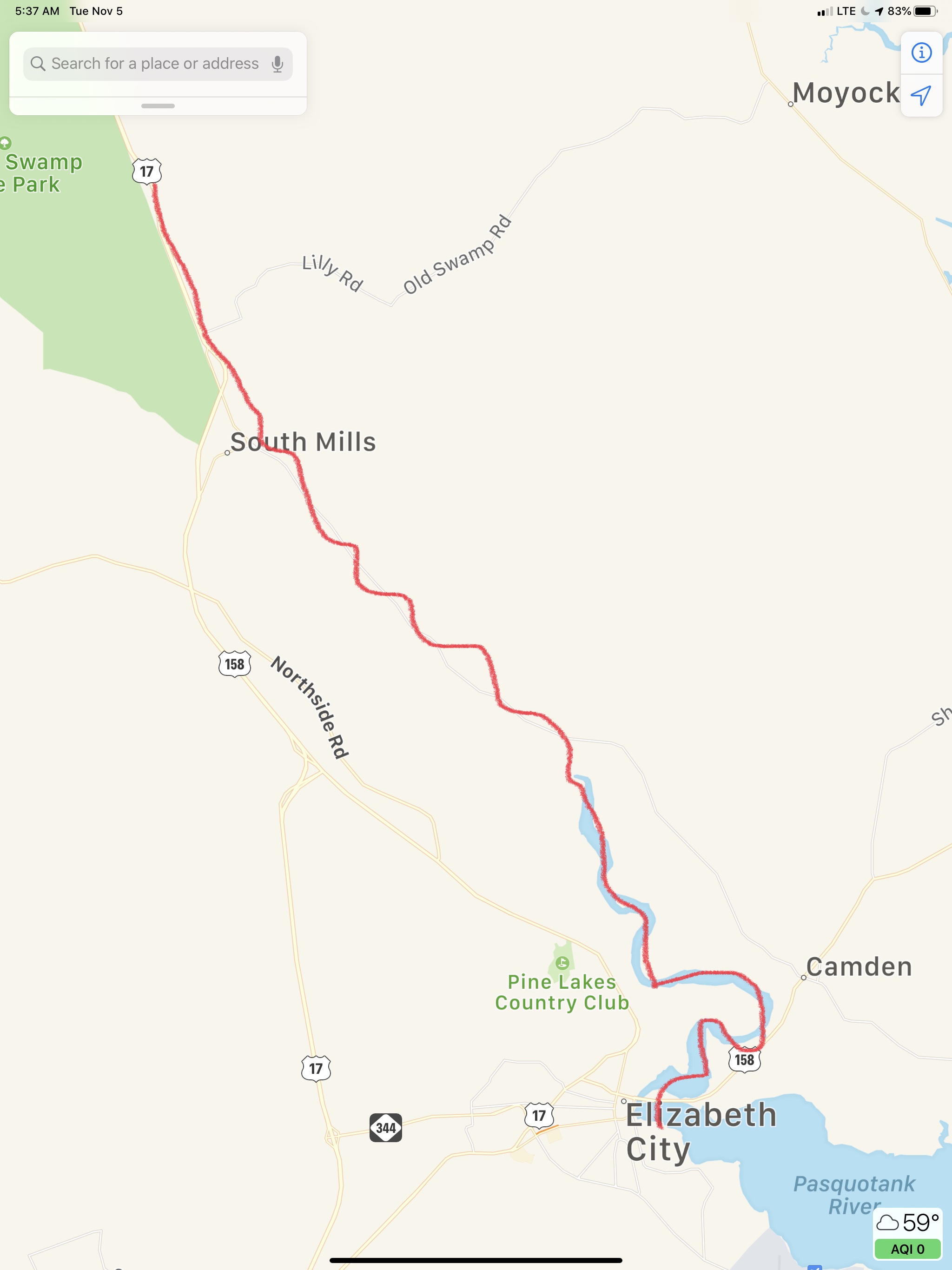
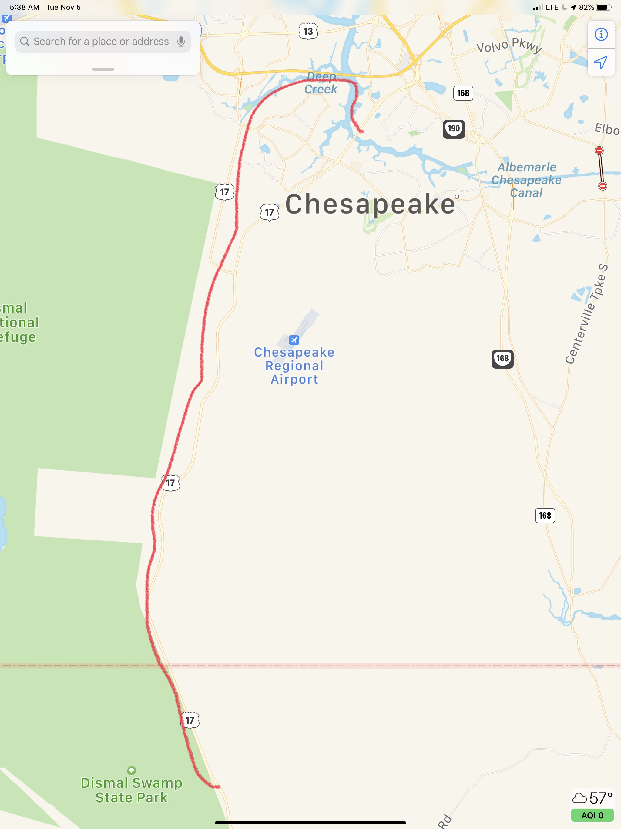
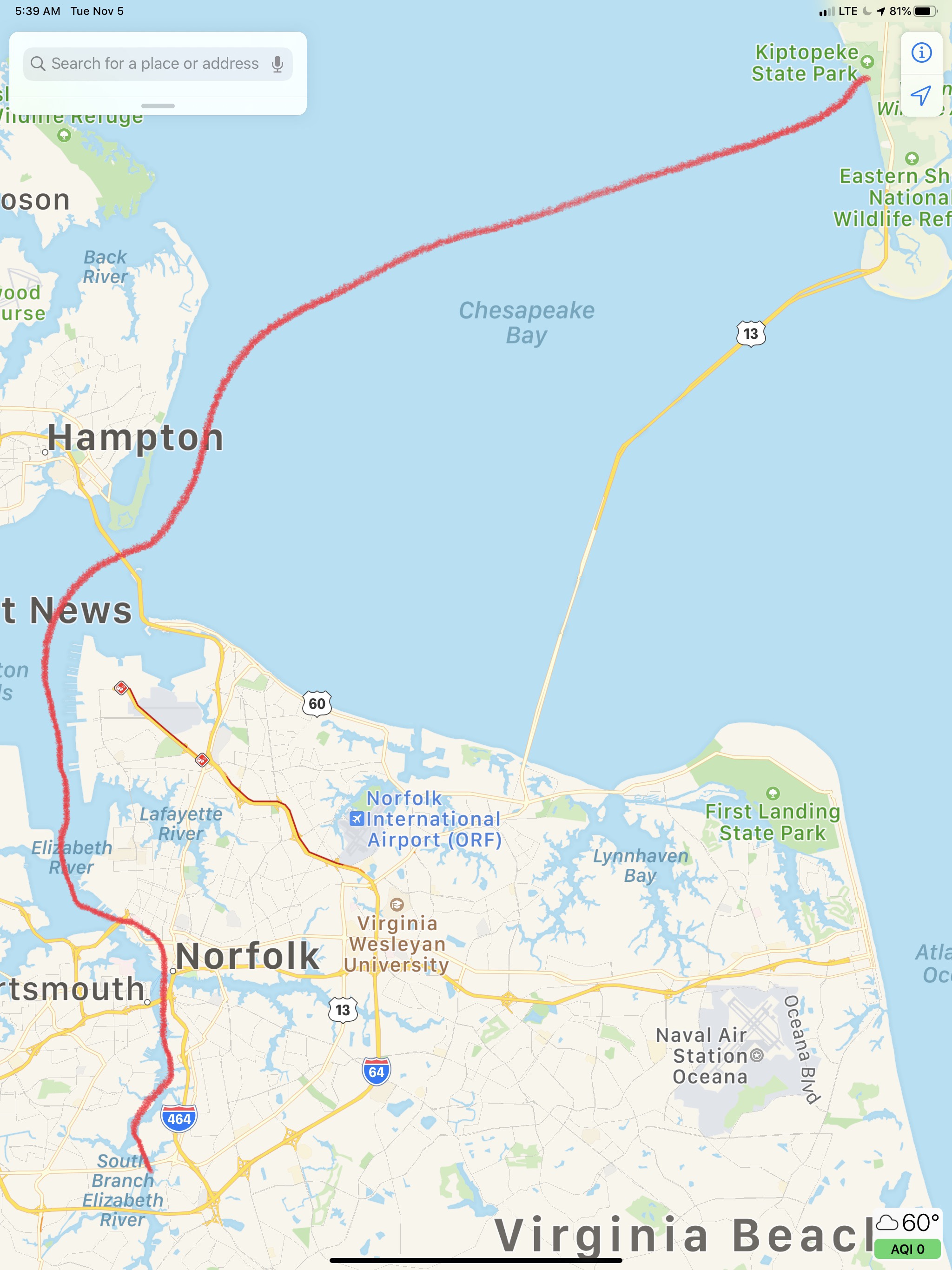
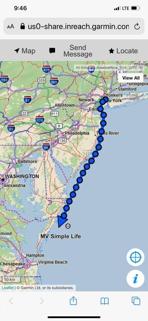
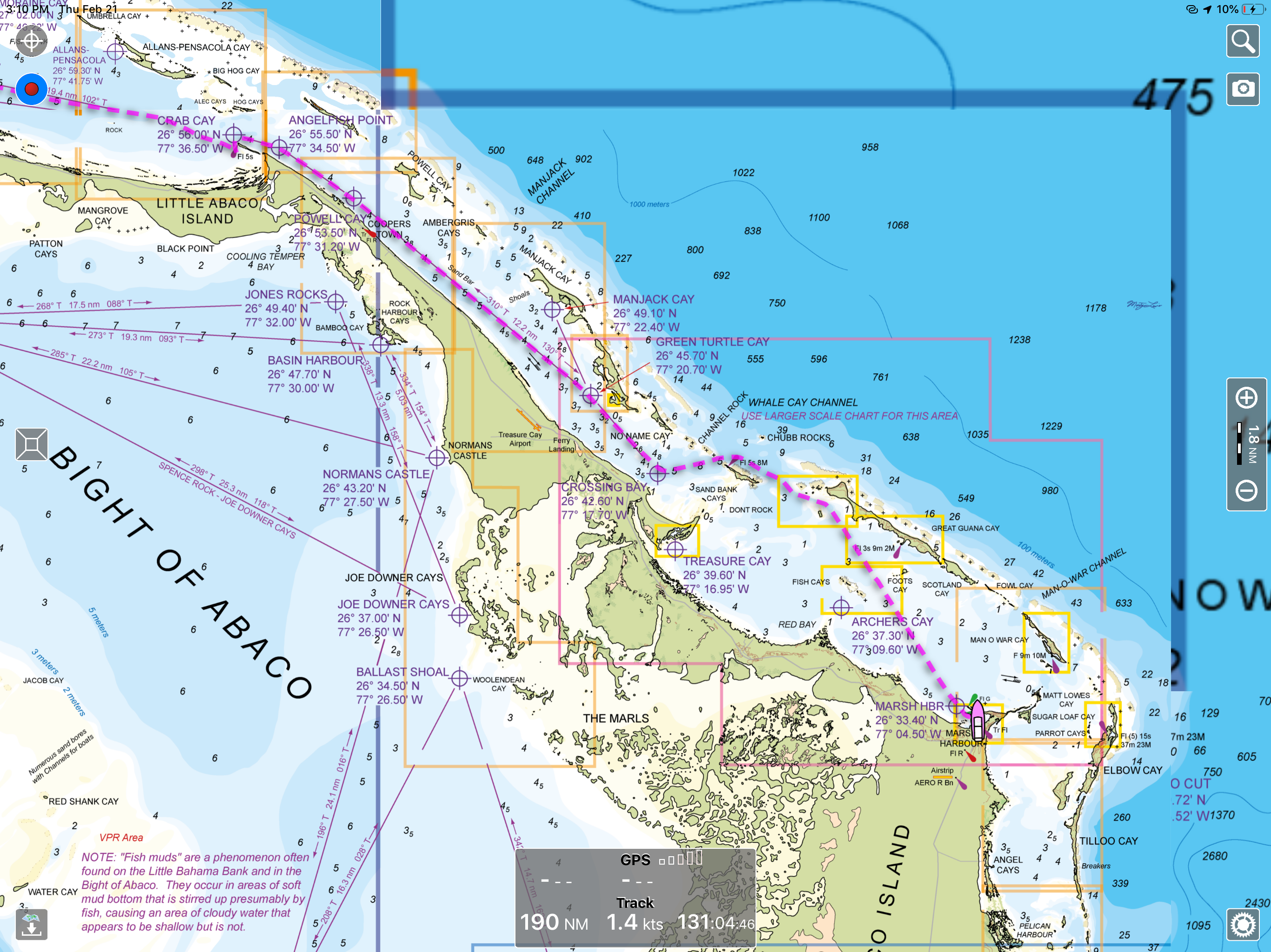
Today’s leg of our trip looked roughy like this.
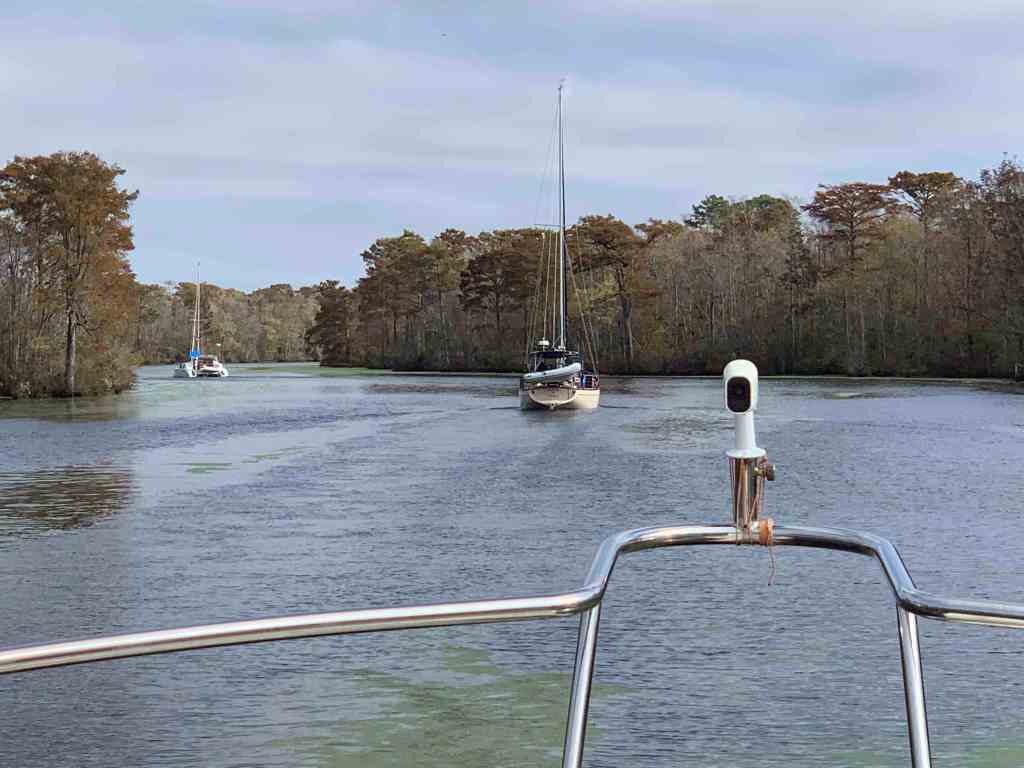
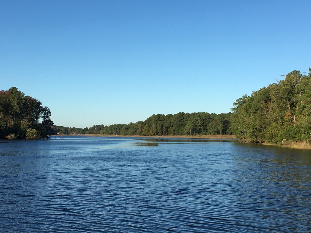
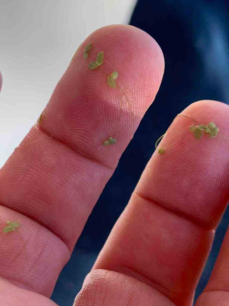
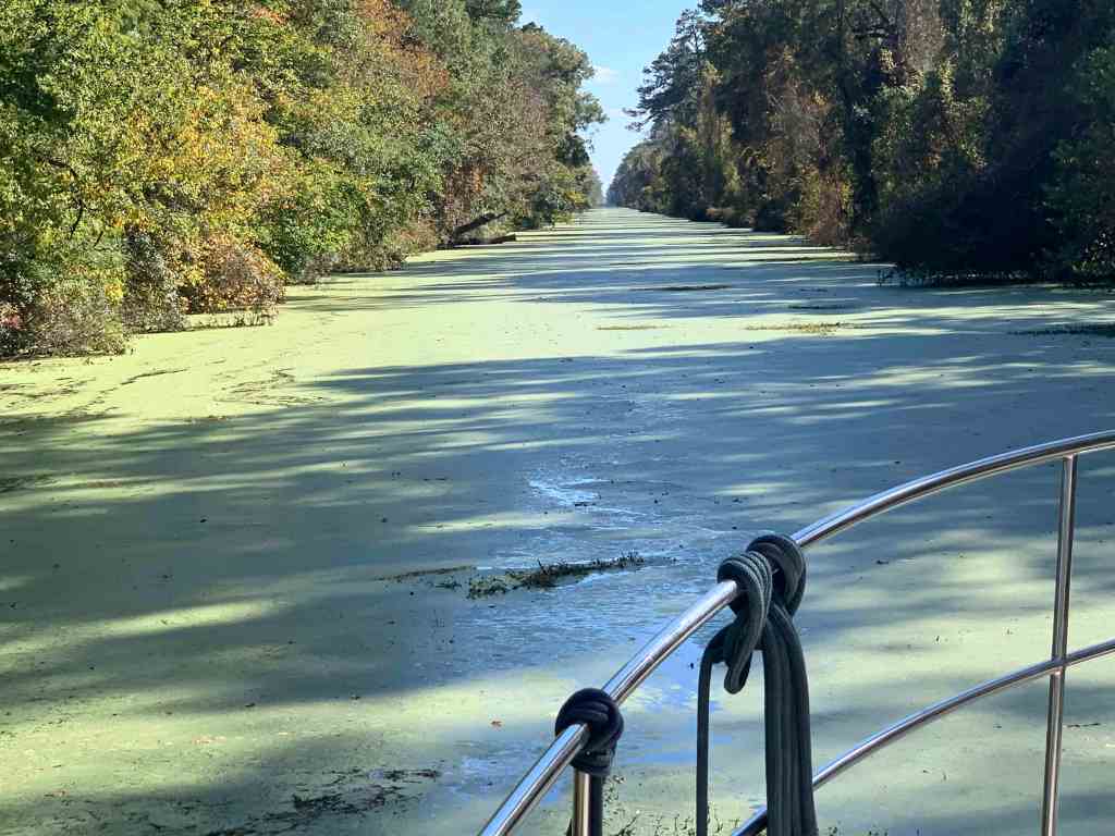
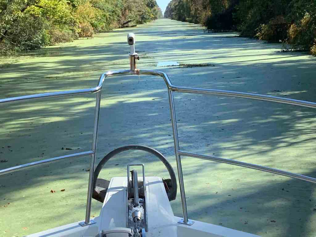
When we entered the Dismal Swamp we were the lead boat out of the lock and our new friends were following the path we cut through the duck weed. This time we were not the lead boat but following in the freshly parted duck weed. Is it better to be the lead boat or follow? We could never come to a conclusion.
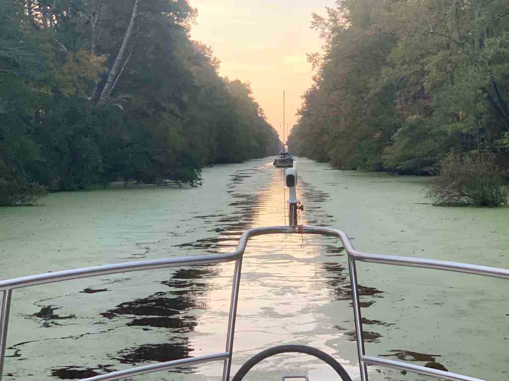


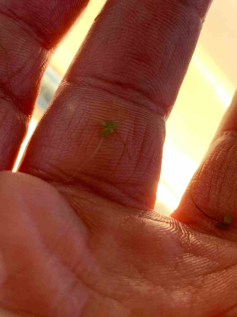
We were all aware that duck weed gets sucked into our engine’s sea water intake. This can clog the sea water strainer basket and stop the cooling water flow to your diesel. The lock master makes sure to remind every boater who enters the Dismal Swamp to maintain a close watch on your diesel’s cooling water temperature gauge. Periodically you may need to stop and clear the duck weed from your sea water strainer.


Raw (sea) water path through heat exchanger 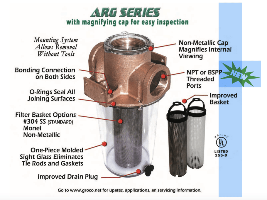
Groco Sea Strainer
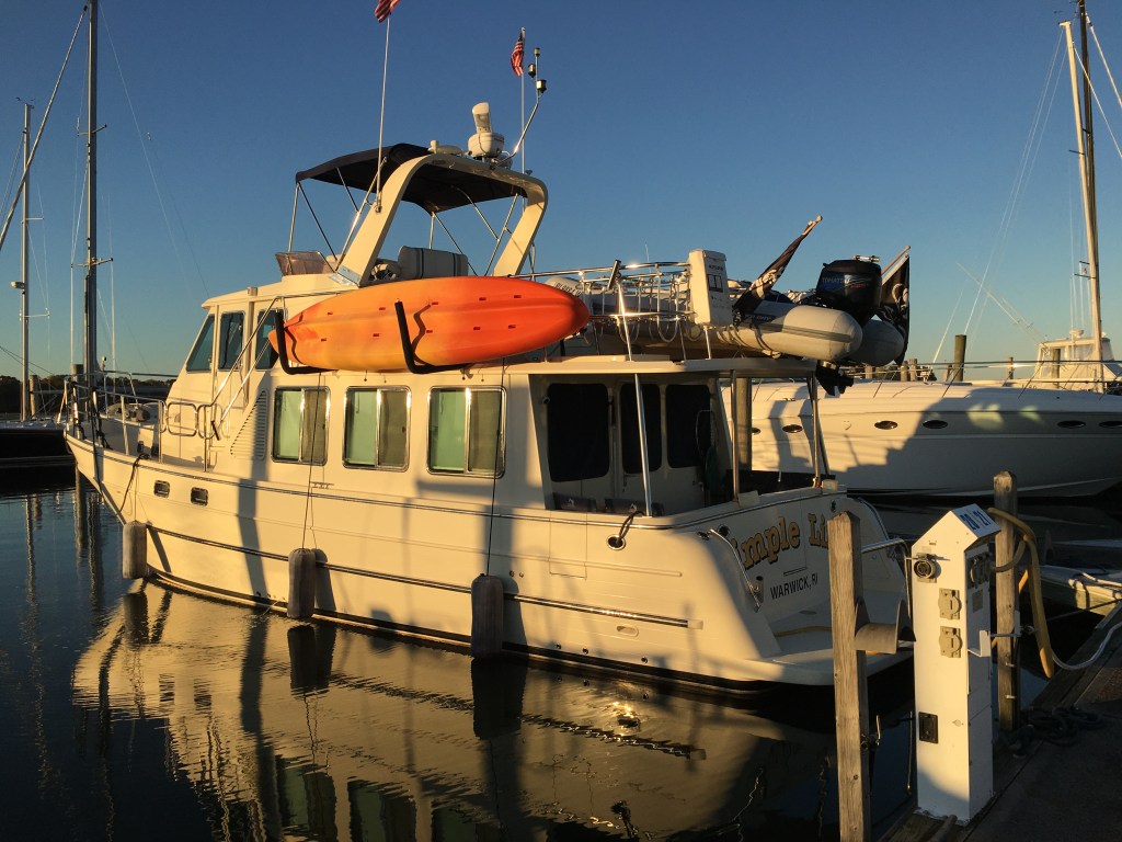
MV Simple Life’s diesel coolant temp stayed steady at 176 degrees F throughout our entire time in the Dismal Swamp. We did however have to clean our 1/2 full sea strainer at the end of each day.
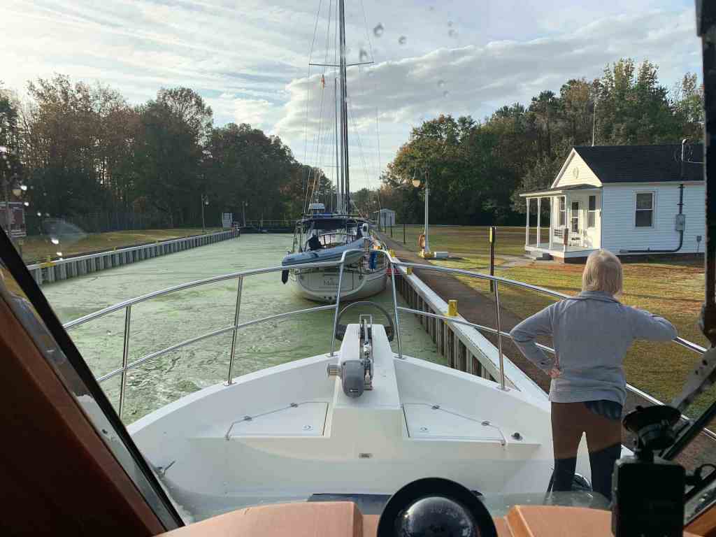
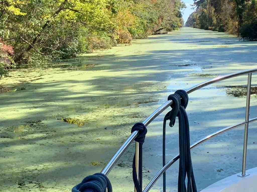
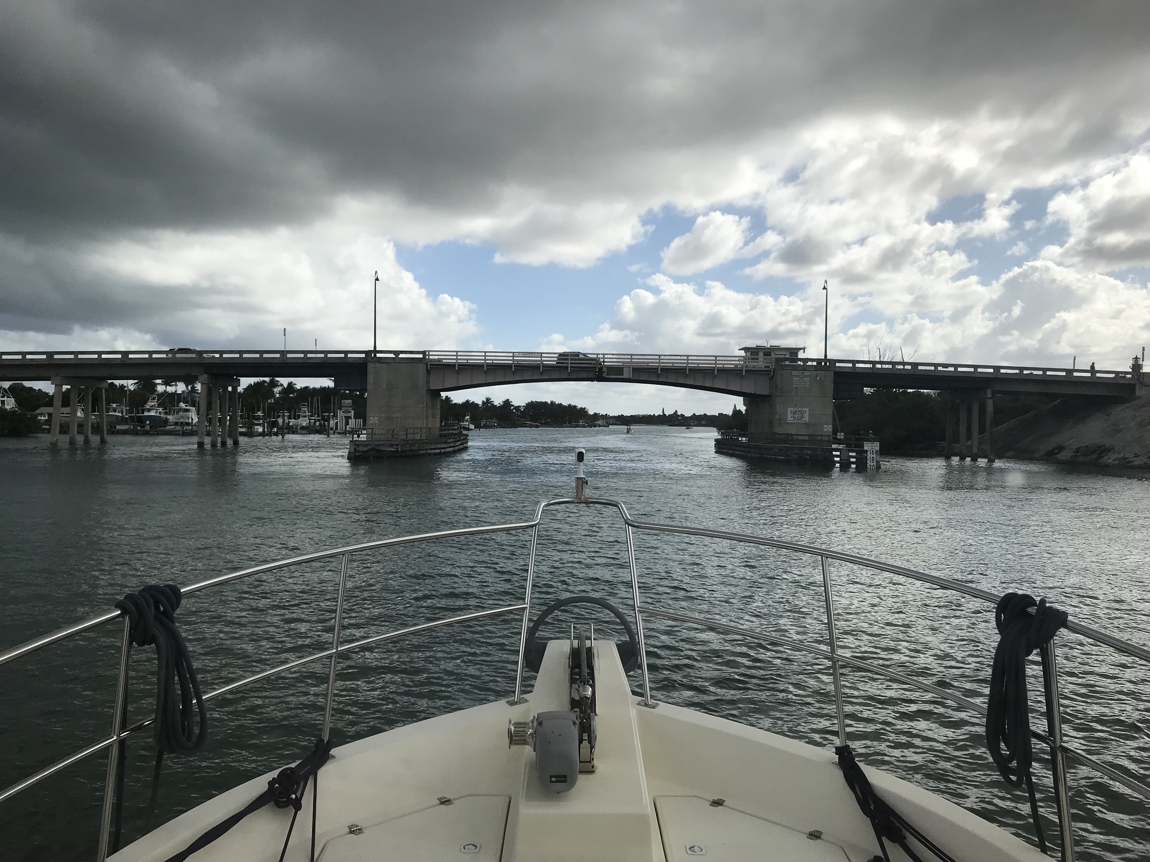
Soon we were in the second and last lock for the Dismal Swamp called the South Mills lock.
Departing the South Mills lock we saw much less duck weed.
Our new friends Ray & Cynthia aboard SV Vela Blanca did have issues with their diesel overheating but Randy & Maureen “Moe”on SV Sailitude towed into Elizabeth City, NC where Ray was able to get the diesel engine issue taken care of and get back underway. Friends helping friends on the water (smile).
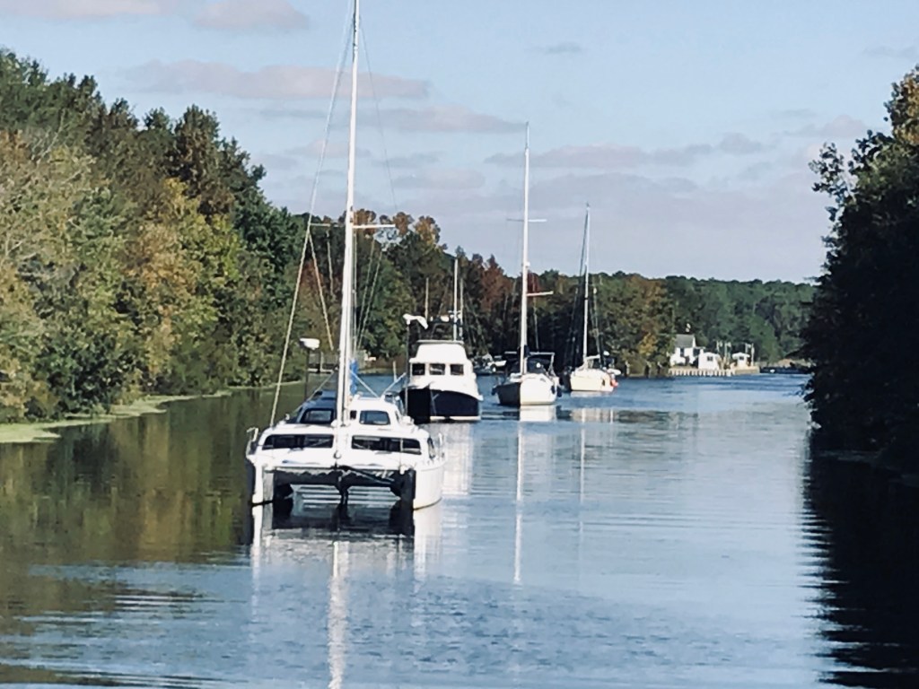
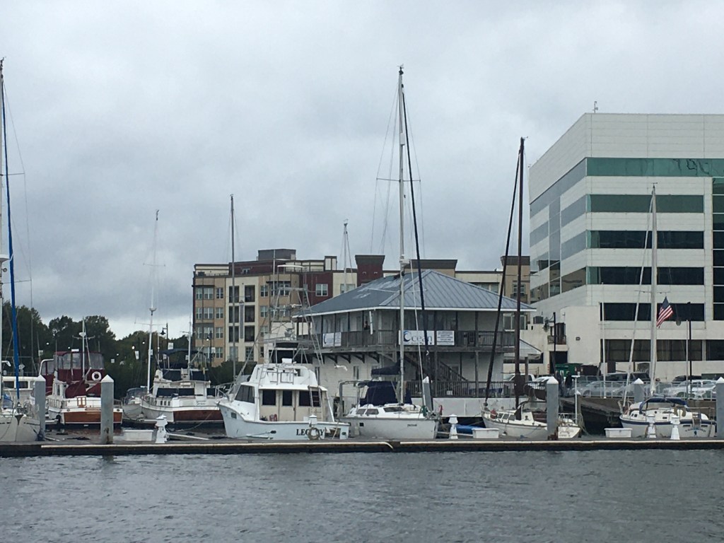
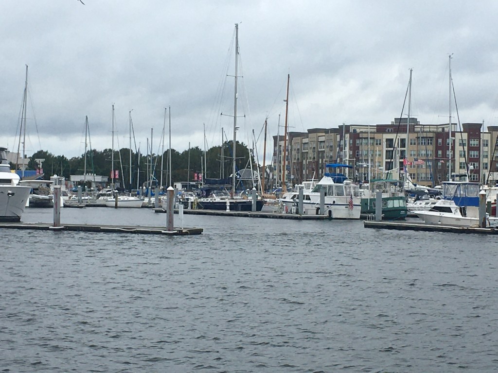
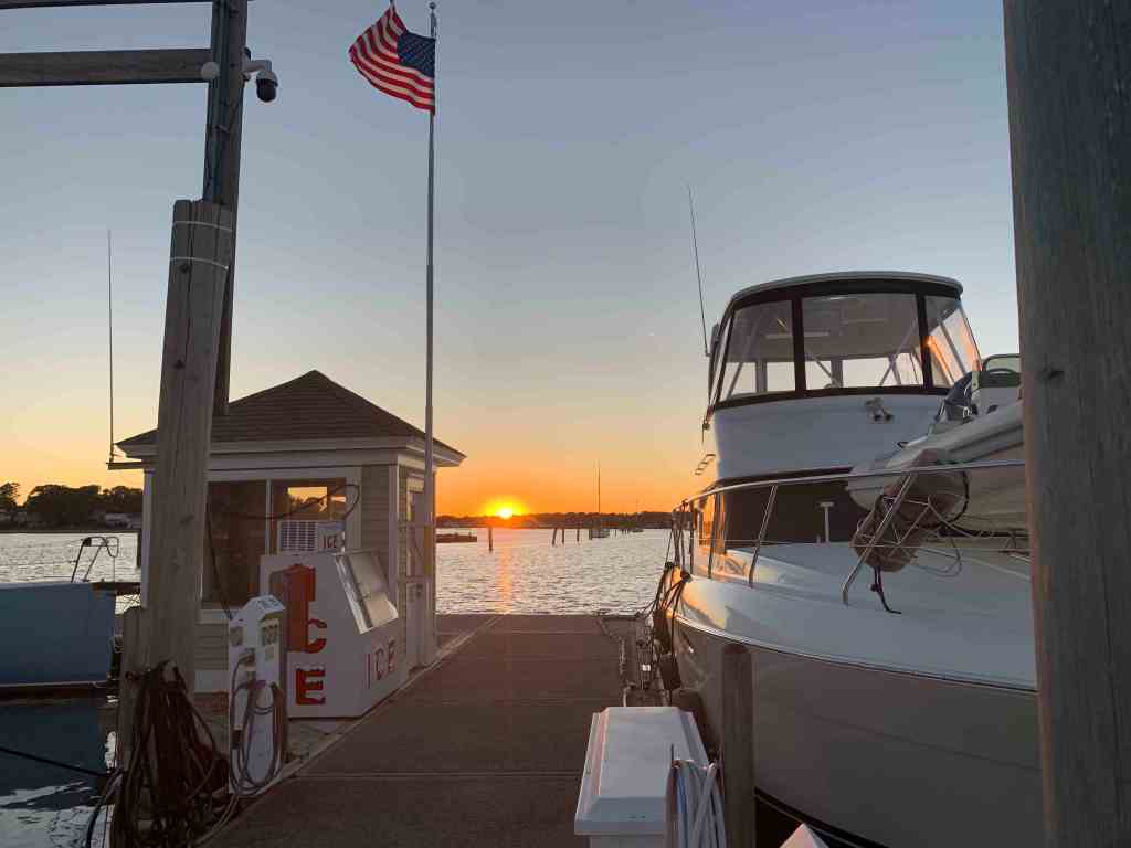
We arrived in Elizabeth City and had planned to stay at Mariner’s Wharf.

The problem was as we watched the Elizabeth City Highway US 158 bridge gates go down to stop the highway traffic we noticed that only the first set of gates went down and the second set stayed up. The bridge never opened. We were guessing there is some form of interlock between the gates and the bridge opening mechanism. We hailed the bridge tender on VHF CH#13 and he responded that the bridge was non-functioning and no ETA to when it would work again. We circled as the bridge tender attempted several failed openings before we decided to pull Jennette Brother’s Free Dock just North of the bridge.

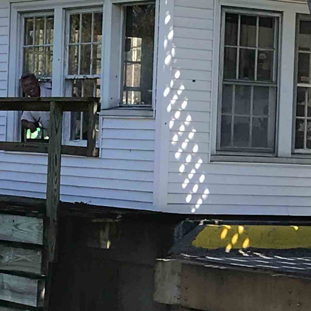
When we pulled up there was a friendly woman named Shiela who help grab our lines and get us tied up to the wall. We would later learn that Shiela and her husband Bill were traveling the ICW on a Tayana 42 Trawler. I did not get the name of their trawler but she told me it meant “Slow Turtle” in Hawaiian. Which Google translates to MV Lōkaha ka Makaula. I believe they were at Top Rack when we pulled in two days earlier. I noticed the raised pilothouse trawler because at only 42′ it had lots of great features such as a Portuguese bridge, twin diesels and just nice lines.
I guess I should have better judged how far that tree was sticking out into the water?


The wind was causing this tree to drop whatever it had on top of our fly deck.

So there we sat with no ETA on when the bridge would be fixed as we heard a sailboat coming down the river hail the bridge for an opening. The bridge tender responded that he would give it a try. I said to Buddy, “We’ll never be able to untie, get underway and through the bridge before it closes even if it does open”. Buddy was already untying the lines and suddenly the bridge began to open! I quickly started the diesel, Buddy tossed lines and jumped aboard. With a quick punch of the throttle we were slipping beneath the bridge!
Just the other side of the bridge we tied up to the free dock @ Mariner’s Wharf. Our swamp friends also grabbed spots on the free dock and we all agreed to grab dinner at Cypress Creek Grill.

It’s a short walk to the restaurant but the town looks like a place we could spend a few days exploring. Maybe learn about Culpeper’s Rebellion

Tax my Tobacco I say… Revolution!!! 
We Wax ALL the Things 😉

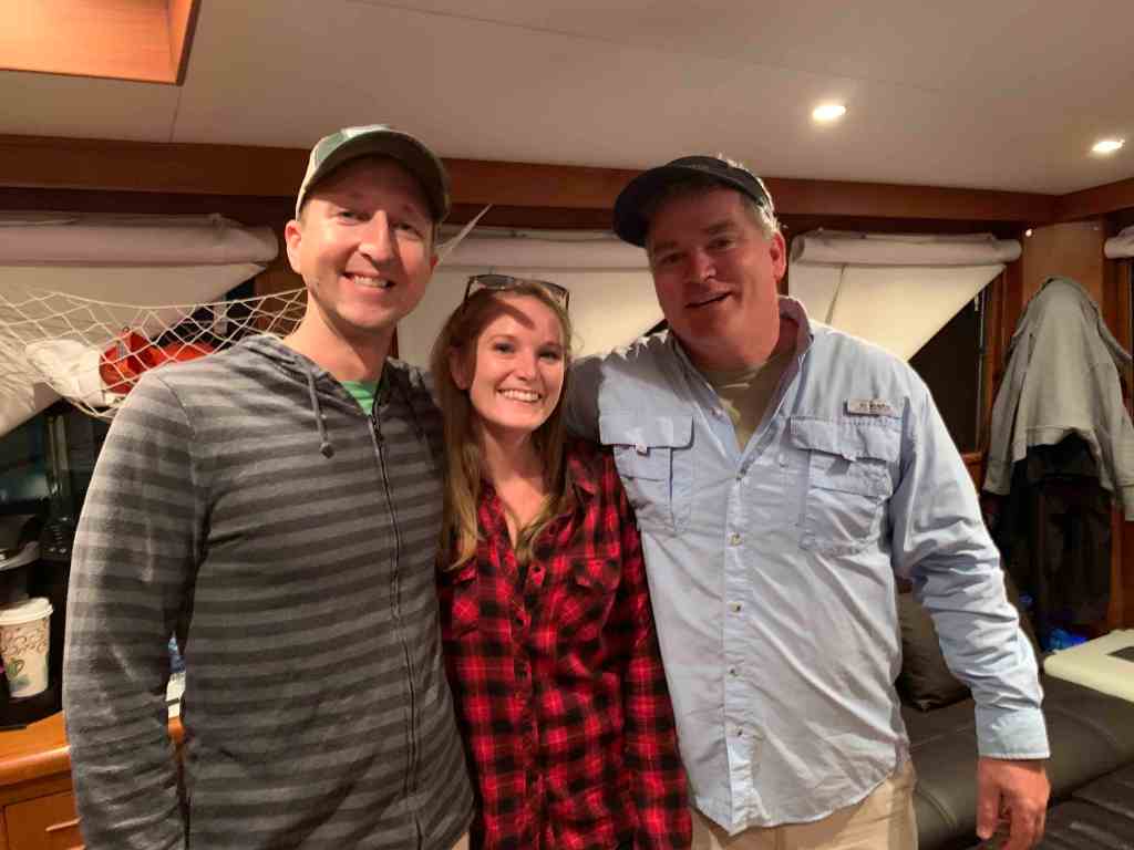
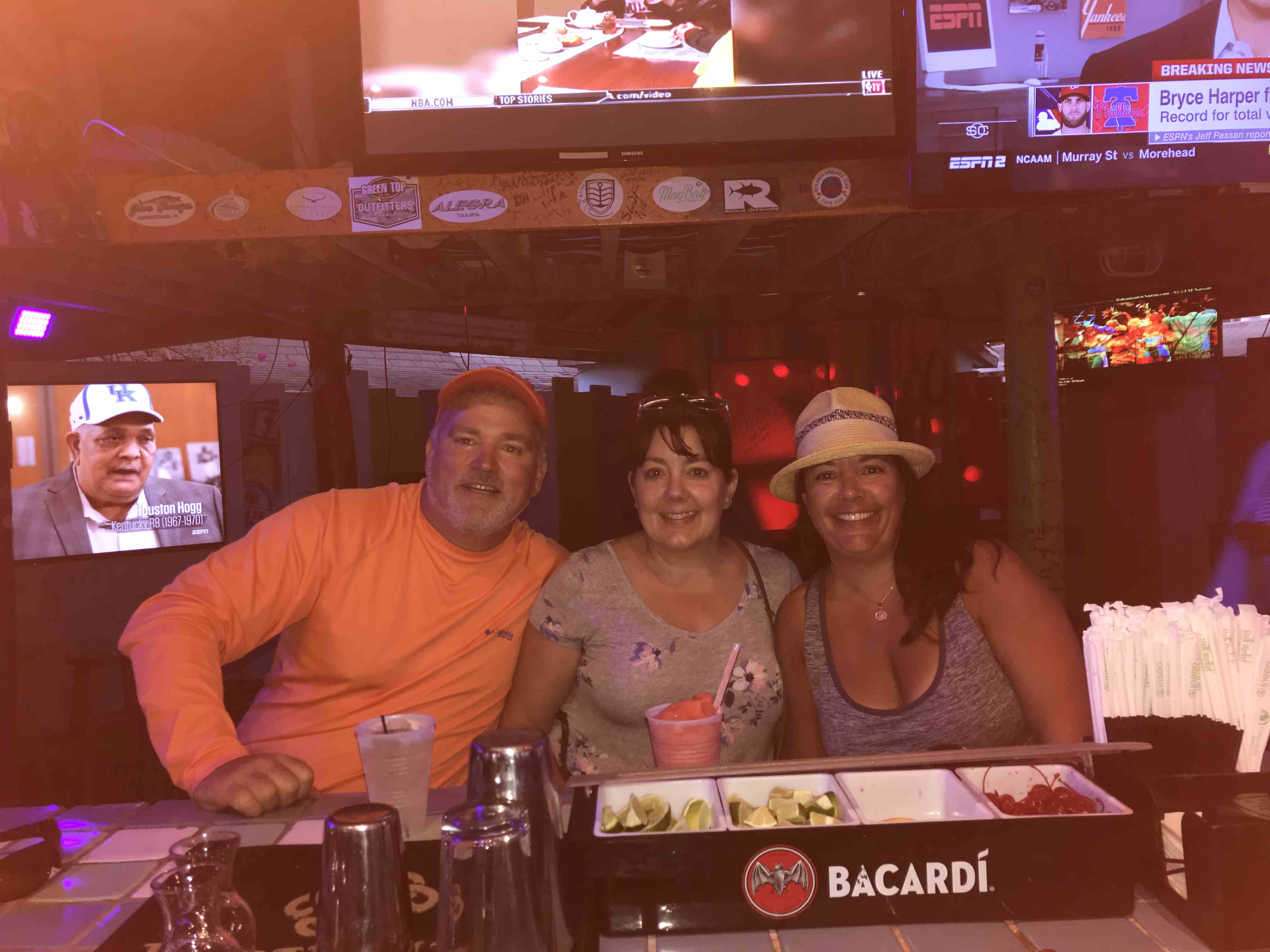
Front left going clockwise: M
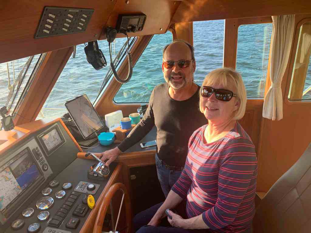
ichael & Kristen of SV Makai, Curtis & Kim of MV Blue Rhapsody, Marty, Renee & Buddy of MV Simple Life, Maureen & Randy of SV Sailitude
Dinner with swamp friends was the best end to our stay in Elizabeth City we could have asked for.


You must be logged in to post a comment.