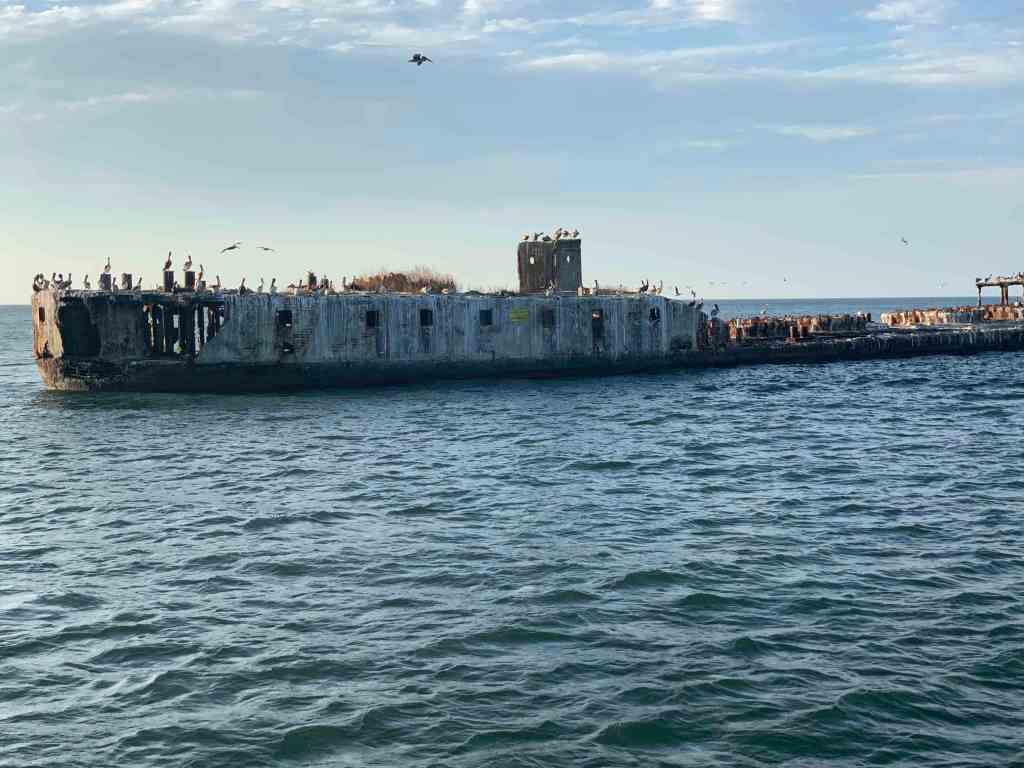
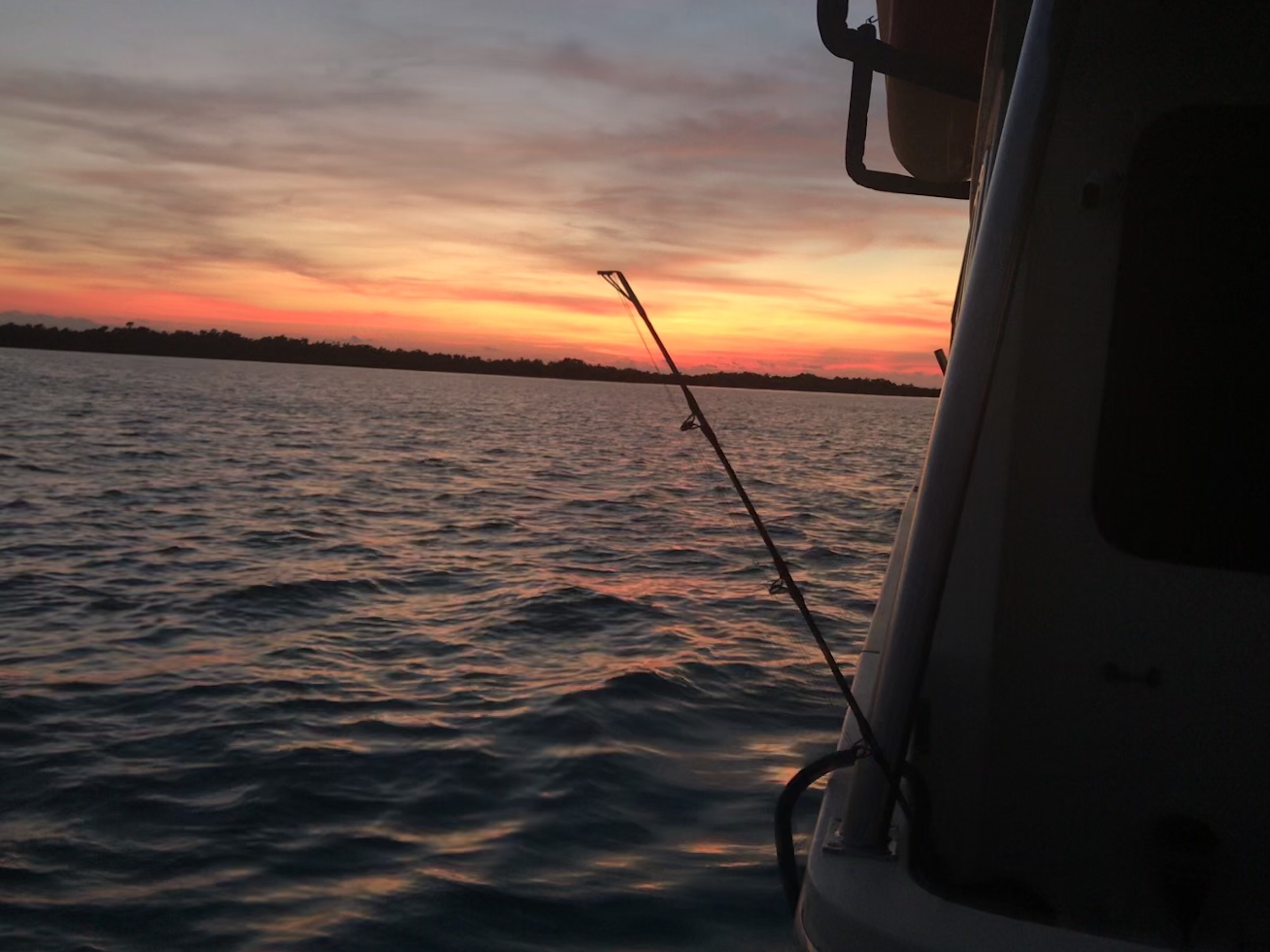
It was enjoyable to set the hook after a 33 hour run outside. Our night’s stay on anchor flanked by the ghost ships was beautiful.
Saying Goodbye to the Concrete Ghost Ships
Now we were crossing the lower portion of the Chesapeake Bay and taking the stern of crossing cargo ships.
Turning to starboard to take the stern of a cargo ship near Thimble Shoal
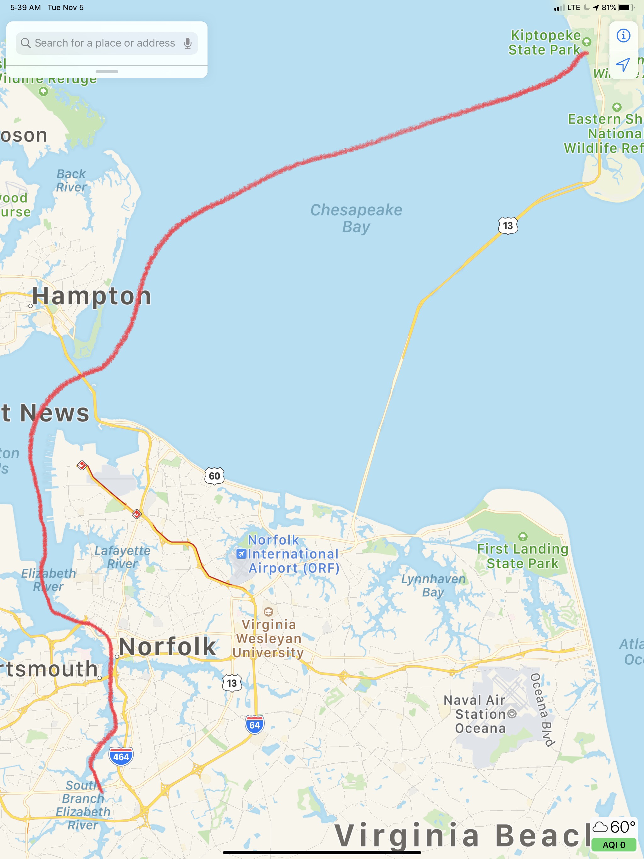
Today’s route through Norfolk looked roughly like this.
Kiptopeke State Park – Chesapeake, VA
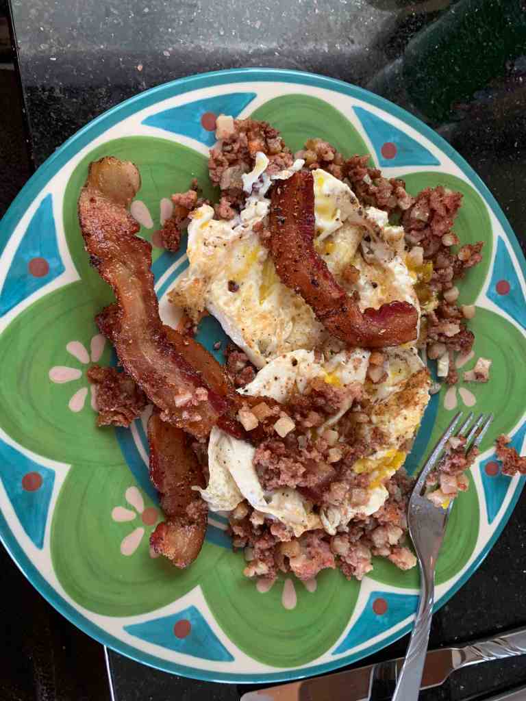
Shortly after getting underway we enjoyed one of my breakfast favorites, “Bacon Hash & Eggs”.
YUMM
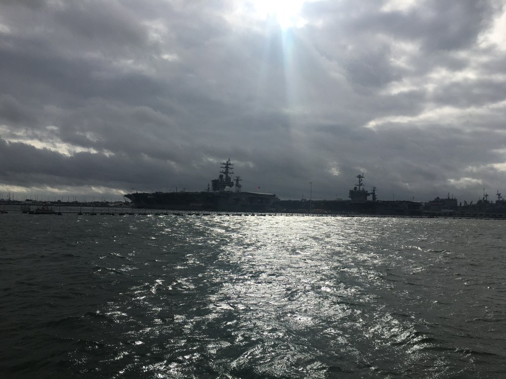
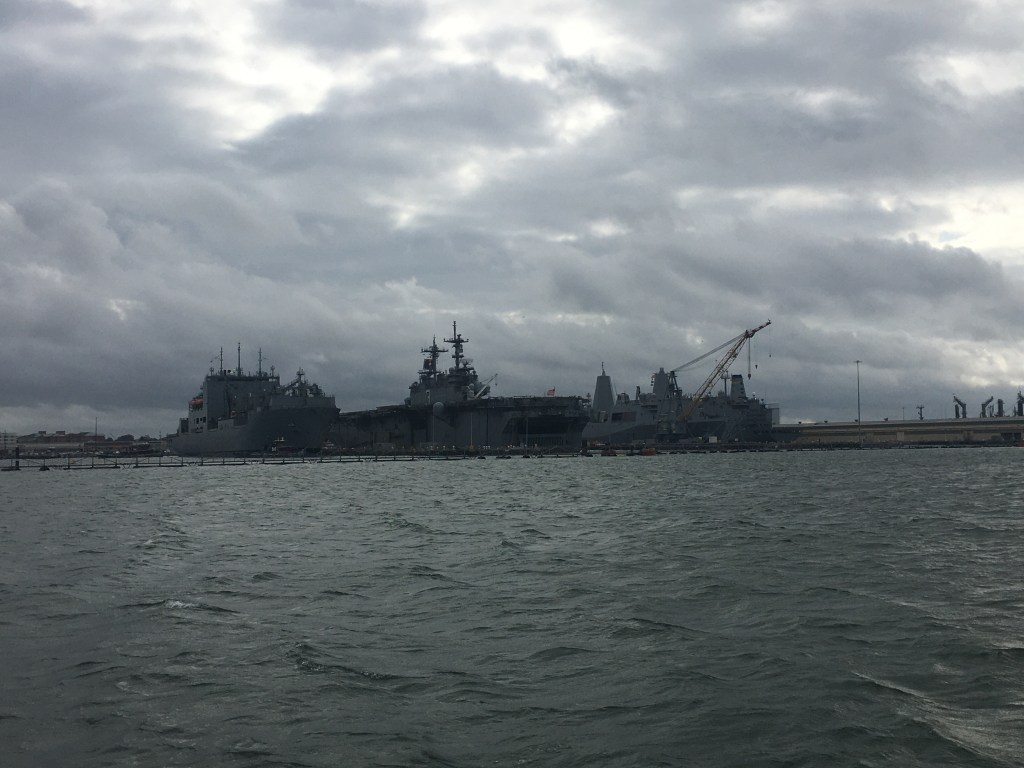
Soon we were passing all the warships docked at Norfolk Naval Base.
Warships on a Cloudy Day
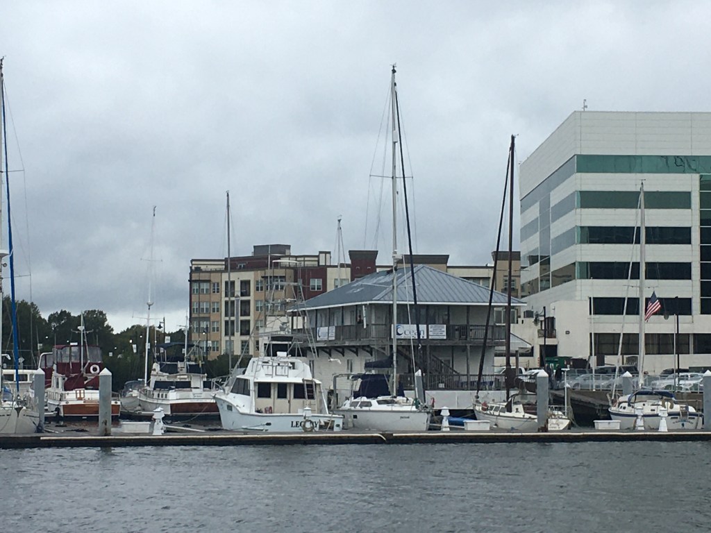
After you pass the Navy base you come to the Portsmouth ship yard where you’ll find lots of large ocean going vessels in port for repairs or to unload their cargo. Tidewater marina is located here and it’s a popular stop for ICW cruisers.
Tidewater Marina
A bit further south and we were at the official start of the ICW or mile marker 0.
We rounded a bend in the Elizabeth River and found that the Norfolk Southern Rail Road Bridge was currently in the down position. This meant doing circles while we waited and watched two separate trains go past. One train was leaving with what looked like a full load of coal. The other train appeared empty and inbound.
Once the Norfolk Southern RR Bridge opened, it was time to slip beneath it
When we arrived at Top Rack Marina in Chesapeake, VA, we took on 292 gallons of diesel. We had last filled the diesel tanks in Warwick, RI. While we could have saved fuel by pulling back the throttles a bit, we have been making good time ever since we departed Warwick, RI. Warmer weather is in front of us.
Then we moved over from the diesel fill slip to our assigned slip for the night.
Renee in the cockpit at Top Rack
With provisions running a bit low, I used my Instacart app to buy groceries for the next week or so of our journey. Instacart grocery delivery is great and our shopper delivered our groceries right to our boat.
We struggled to find all the room in the refrigerator for the large order we placed.
Fridge #1 is FULL
Luckily I have a dometic AC/DC fridge/freezer combo that allows either of the two sides of the chest be either fridge or freezer. We quickly emptied everything from the freezer into a single side and raised the temp from 2 degrees F to 34 degrees F and moved whatever would not fit in the fridge in the newly created second refrigerator.
Raised Temp from 2 -> 34 Degrees on Left Side
Tied to the slip with all our provisions put away, it was time for a great meal at the Amber Lantern Restaurant.
Amber Lantern Restaurant
Stay tuned for tomorrow’s leg to the Great Dismal Swamp!
We departed Port Washington and perfectly timed our arrival to the east end of the East River. We had a fair current giving us a strong push on our stern all the way through the East River and into NYC Harbor.
East River
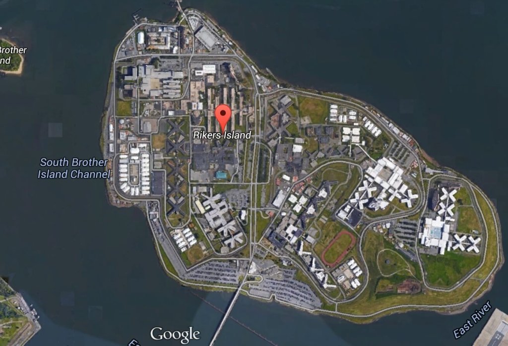
Once in the East River you come upon Laguardia airport and Rikers Island.
A wee bit further down the East River and you come to an infamous location known as Hell’s Gate. This is where the Harlem River dumps into the East River. Our planning placed us here at max ebb current because it’s a great feeling being pushed in such a strong current.
Buddy was at the helm calmly making helm corrections as quickly as possible to keep the pointy end of the boat pointing in the right direction.
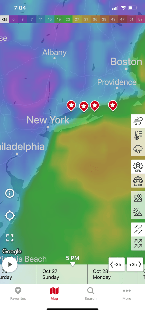
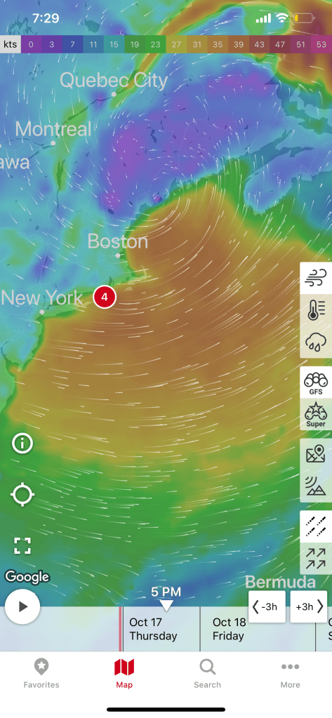
We had planned on spending a couple days in NYC harbor and visiting Manhattan but our weather heading down the NJ coast looked great for the next 38 hours. We had a quick discussion at the helm and decided that we would go offshore. Stopping in NYC would have meant being trapped for the foreseeable forecast.
Sunday 4-6′ Seas
Need to be South of NYC by Sunday
Offshore Voyage to Norfolk, VA
Going offshore to Norfolk would require a helm watch schedule. We like to call it a port & starboard watch meaning that there would be two teams. Team 1 = Buddy & Renee. Team 2 = Marty. When you’re on “helm watch” the other team is relieved of any responsibilities other than to rest up for when your watch starts.
Night watches means keeping an eye out the pilothouse windows for any lights. The moons phase was only a sliver of a crescent and it did not rise till 4AM. We chose a route between 2-3 NM off the coast and that allowed us to see the twinkling lights of shore as we made way south.
For those uninitiated in night watches you will have to become comfortable with staring intently at your radar screen while you push into the blackness. Looking forward out the pilothouse windows all you see is black and the few instrument lights that reflect off the inside of the glass. You’ll need to determine if any of those red, green or white lights are coming from a boat or a buoy. If the light blinks, it’s a buoy. If it’s solid, it’s a boat.
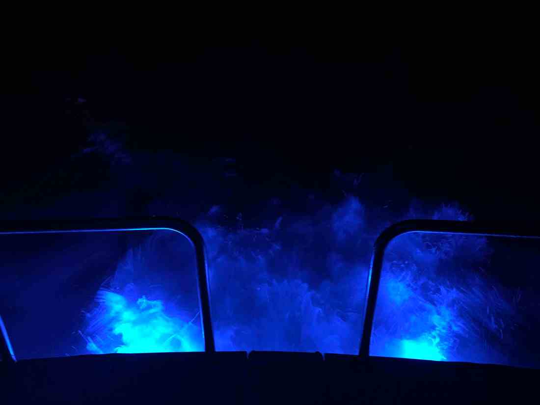
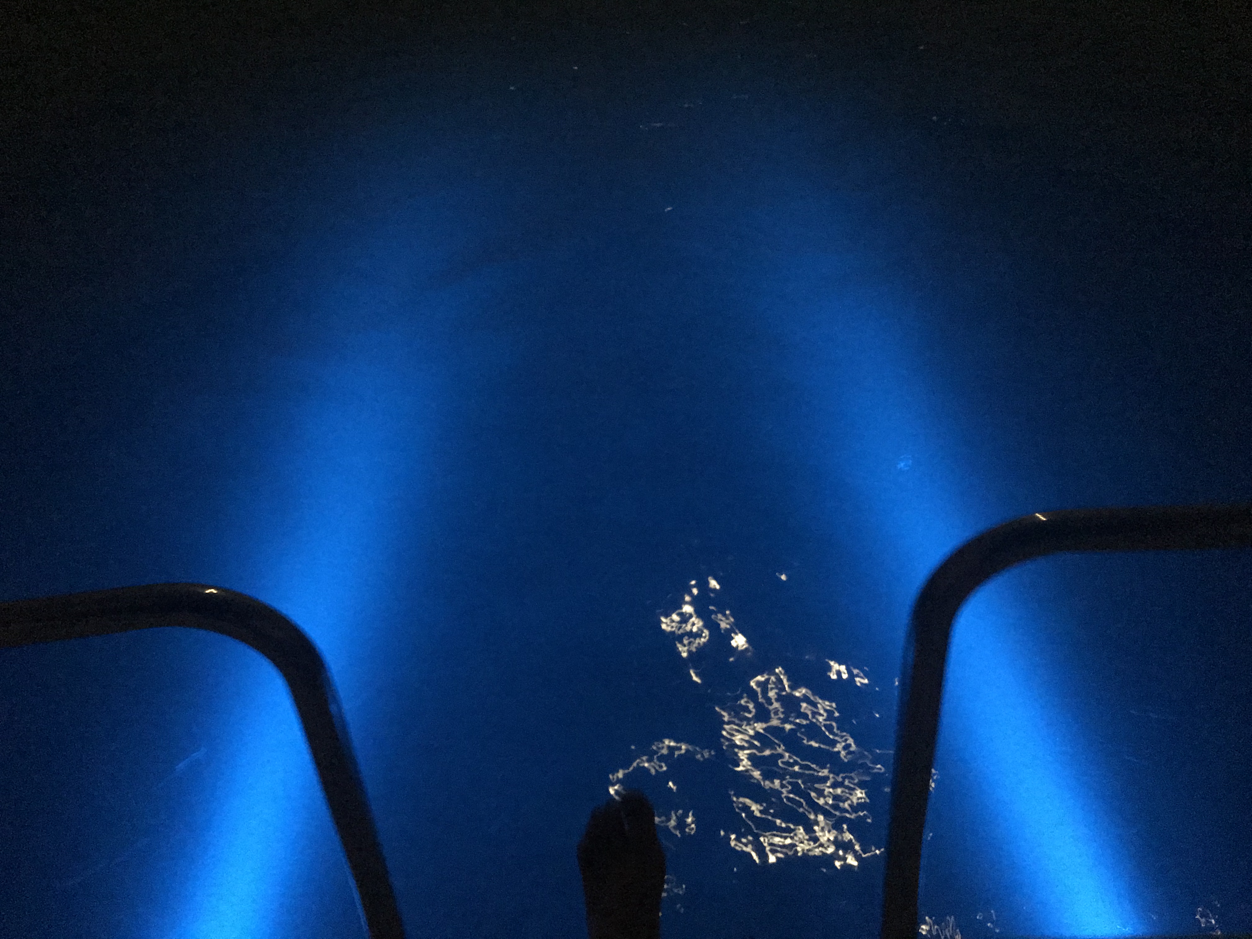
One night I come off watch and lit the underwater lights so I could stand on the stern as the propeller wash boils up from below as the lights of shore pass.
Here is a short video of a boat passing on our starboard side. You can clearly see the other vessel’s red-portside-light as well as it’s white-steaming light. When I zoom in the camera was able to pickup the white water wake in their stern light.
When I left my home port in Warwick, RI, a few fellow boaters, friends were also making the trip south for the winter. MV Ship Happens, a large sport-fishing boat, was heading south and we had been communicating thinking we’d cross paths eventually. I received a photo via text from Capt. Dan and to my surprise it was of MV Simple Life as they zoomed past us. Although MV Ship Happens left port days after us, she has a much faster cruise and eventually overtook us.
Capt. Dan snapped this pic of us on the way past us
During the day we were graced with the presence of whales. I captured a short video of a whale coming to the surface off our starboard side.
Whales off the Jersey Coast
While we were off the coast, our VHF crackled to life with the USCG issuing a securite broadcast about an overdue 43′ Benneteau sailing vessel out of Jamestown, RI called the “Carol K”. They had left before us and were somewhere along the coast with us. We attempted to hail the Carol K but got no response. We hoped that they would be found safe and several days later they were found 100 miles of Cape Henry, VA.
The trip down the busy channel into Norfolk, VA is best done in the daylight. I could tell you a story about nearly getting run over by a warship a few years back but that story is best told over a few beers. 😉
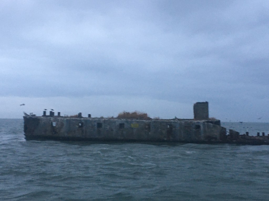
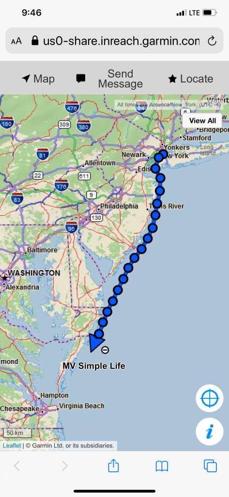
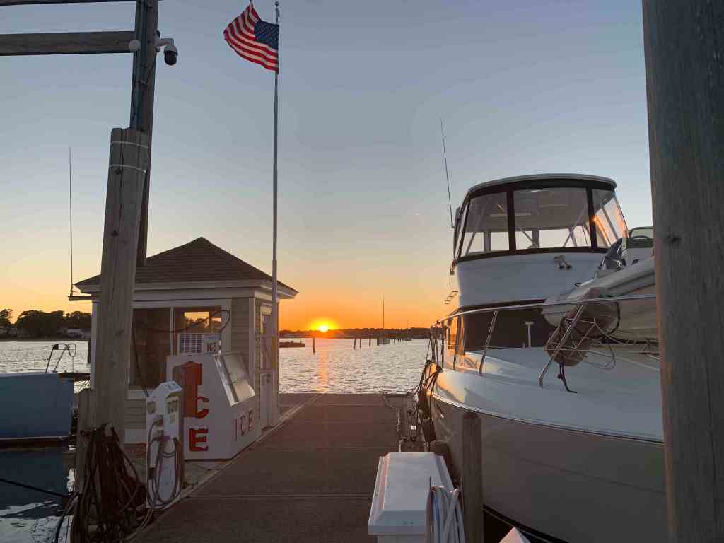
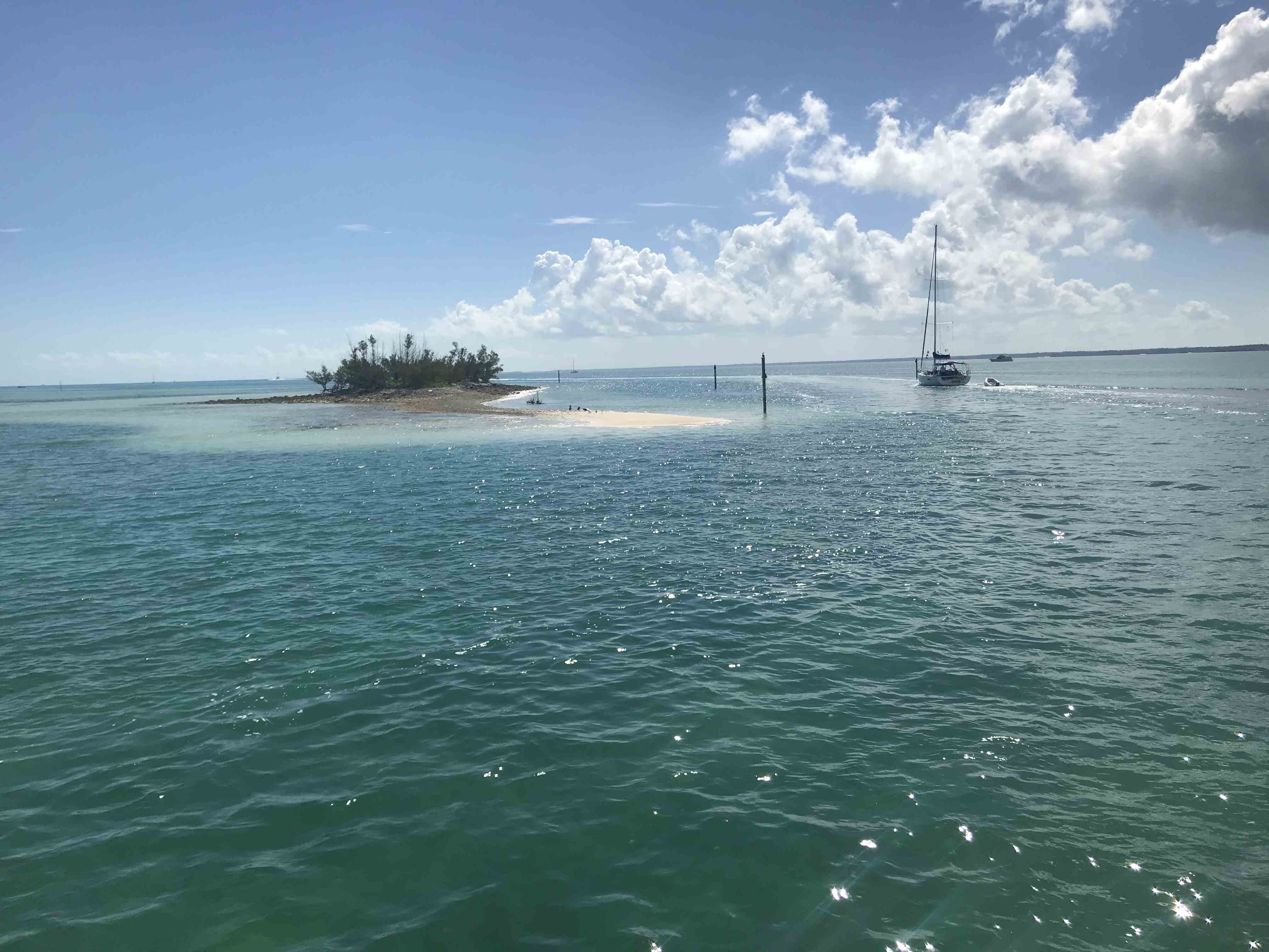
We searched our Aqua Maps charting app for an Active Captain anchorage and found one called “Concrete Ships”. The wind was out of the east but the forecast predicted the wind would clock around to the south and strengthen. This particular anchorage offered the best lee from the wind within the distance we were willing to travel.
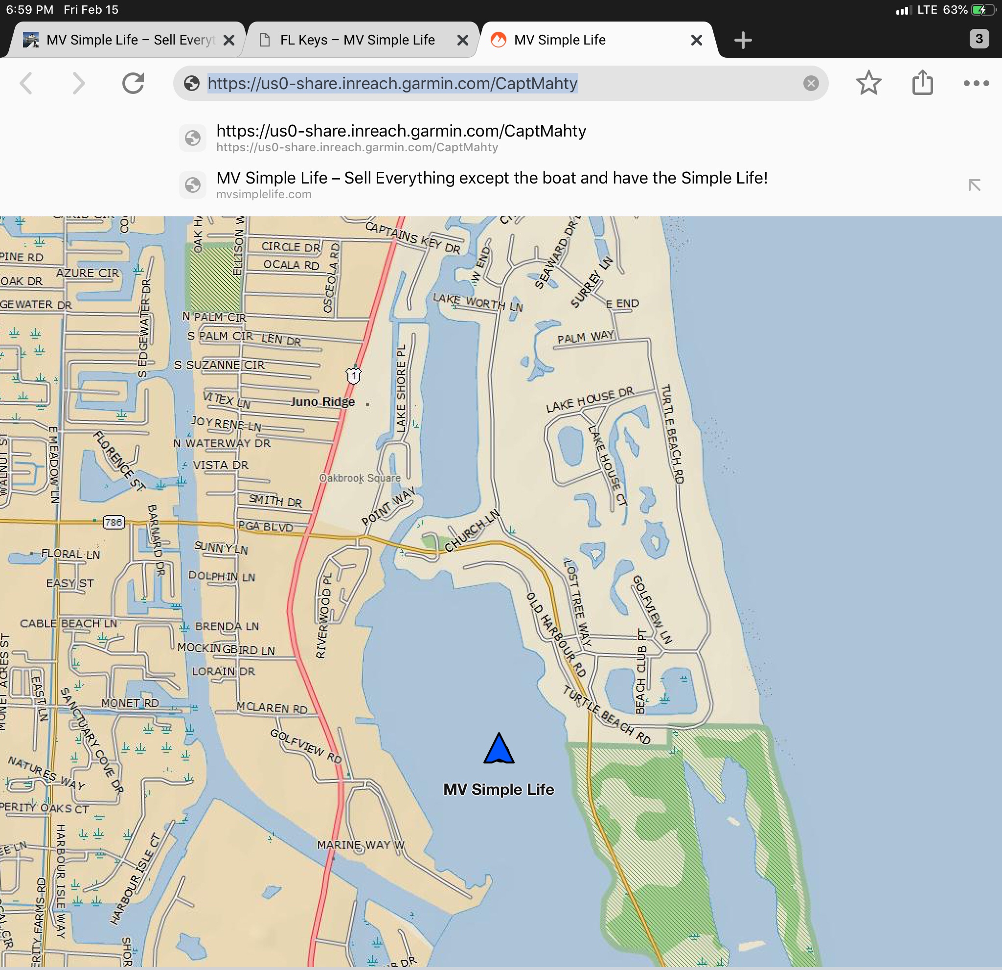
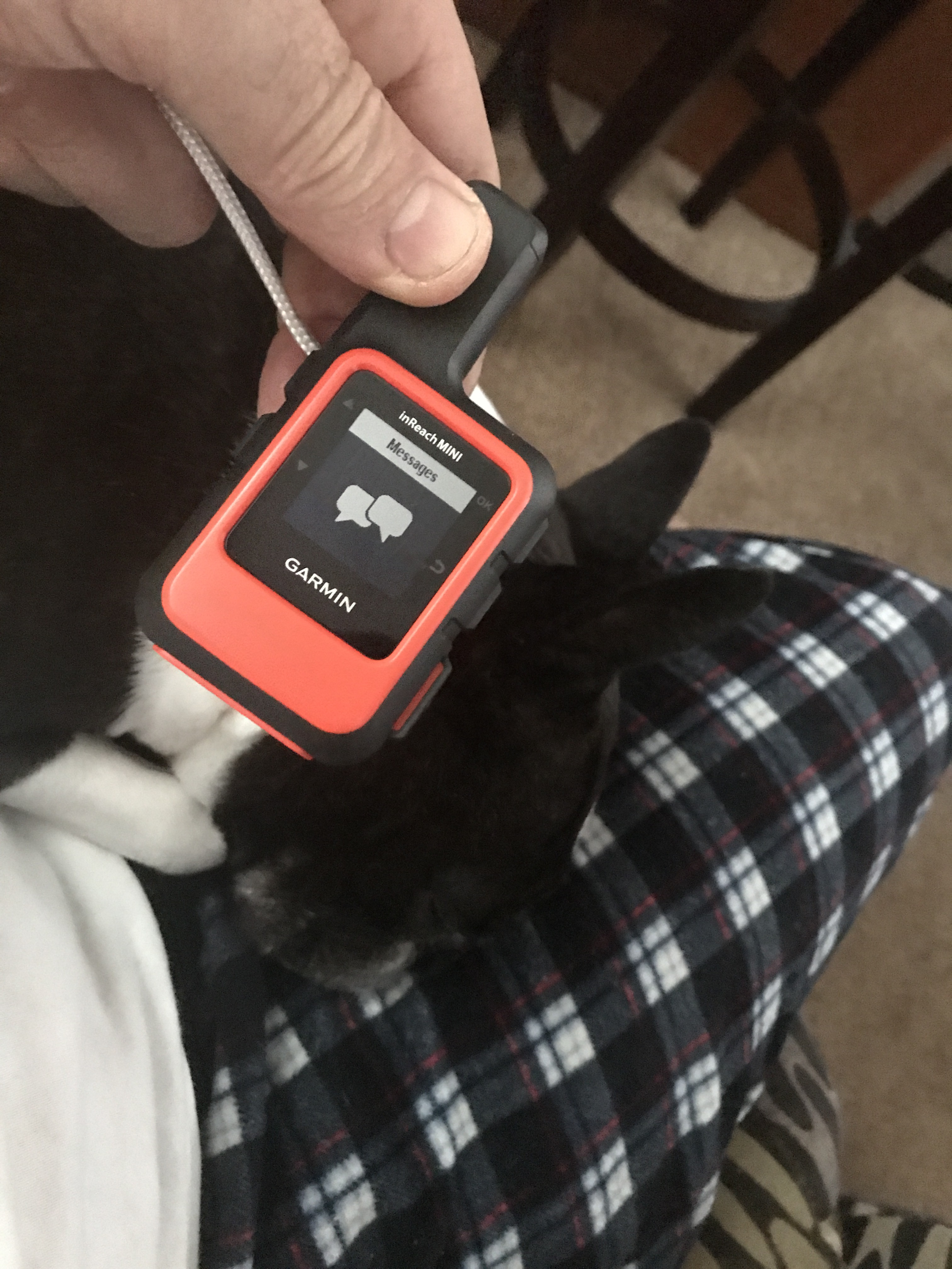
My website/blog has a button that you can click to see the real-time location of MV Simple Life. Here are some pics of that my Garmin InReach Satellite communications device makes available to you.
Working our way down the East Coast
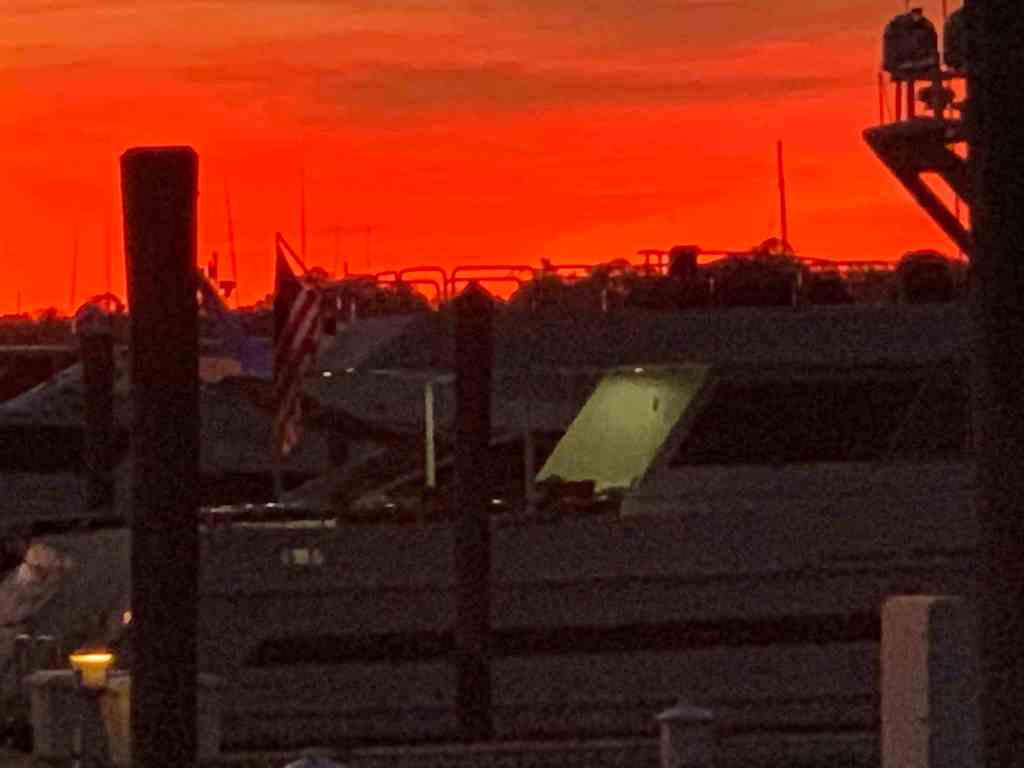
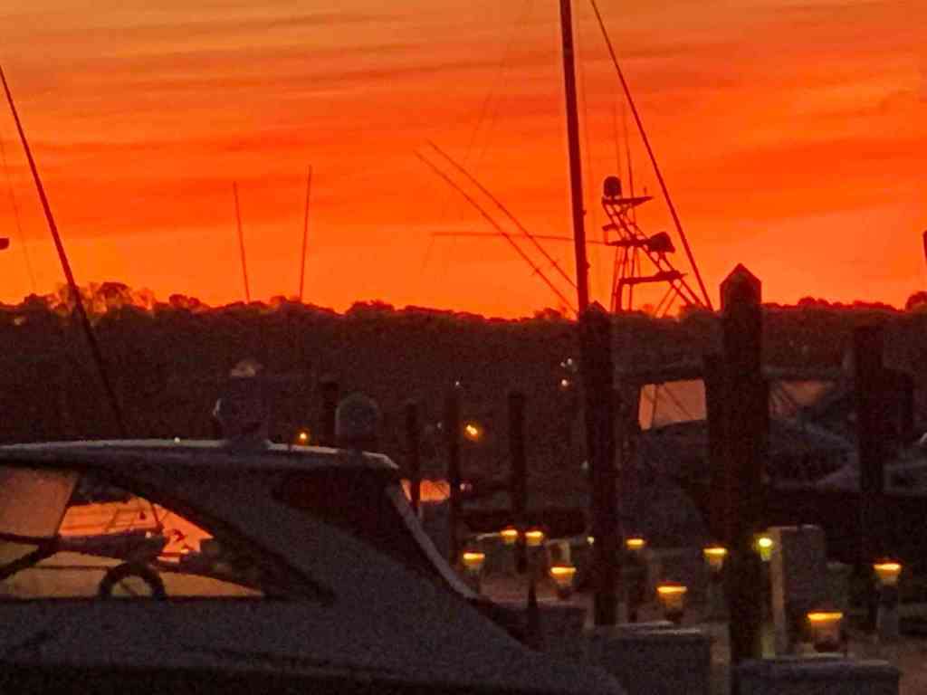
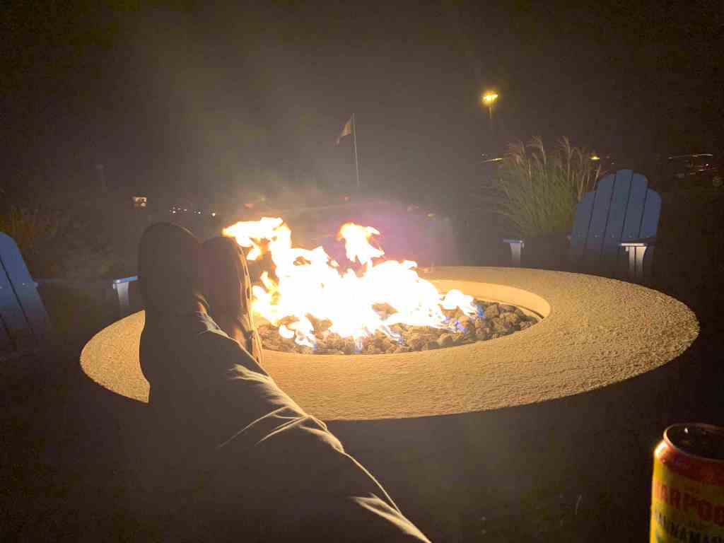
Arriving at the Concrete Ships Anchorage
Days past, I have made the trip south from Cape May, NJ to Norfolk, VA by going outside along the coast before. Those times, I had chosen to anchor nightly along the coast. There are few decent anchorages along this stretch of coast. One anchorage I have used before was inside the Great Machipongo Inlet. I recall how tricky getting through the shifting shoals dotting the inlet was. As we passed, I could not help but notice that the latest update of the NOAA charts shows a similar sized vessel to MV Simple Life wrecked on those same shoals. (Me thinks…) I’m happy I bailed on my inlet entry that stormy night.
Ghost Ships
When it comes to ship building there are many hull materials to select from. One such material/method is ferrocement construction. It’s a cheap way to build a hull/boat but has fallen out of favor with the advent of materials such as FRP (Fiberglass Reinforced Plastic).
We had arrived at our anchorage with plenty daylight left. We shot some video and snapped a few pics of the ships as we arrived.
Standing on the bow at night in the breeze we were flanked by ghost ships with their ghostly pale white shapes faintly materializing though the inky black of night.
The Uber driver was a software developer who drove Uber on the side. Him and I traded a few techie jokes and he proved to have a wicked sense of humor.
Funny Uber Driver
The next morning we will time our arrival to the East River before 9AM which I’ll detail in the next post.
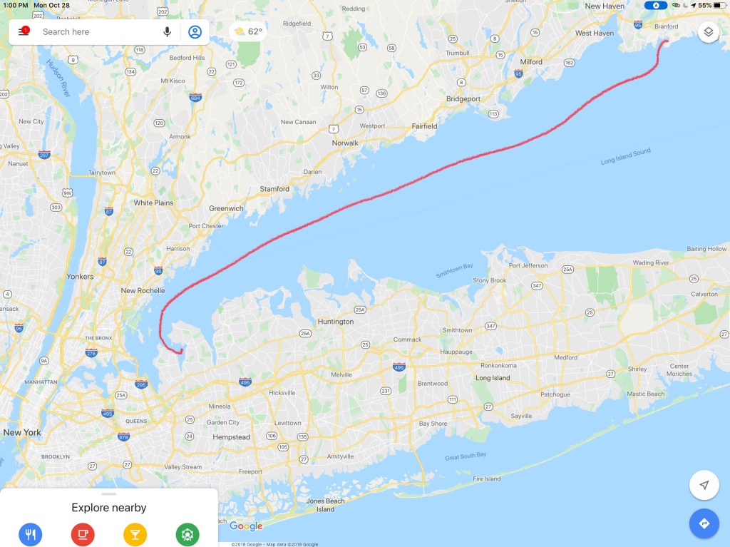
Our 67NM trip from Point Judith to Branford, CT looked something like this.
We passed the time singing home-made songs and making each other laugh.
We called ahead into Safe Harbor Bruce Johnson Marina in Branford, CT and reserved a slip. We made it just in time before the dock crew went home for the night.
Skull & Swords
Remind me to tie that kayak on better 😉
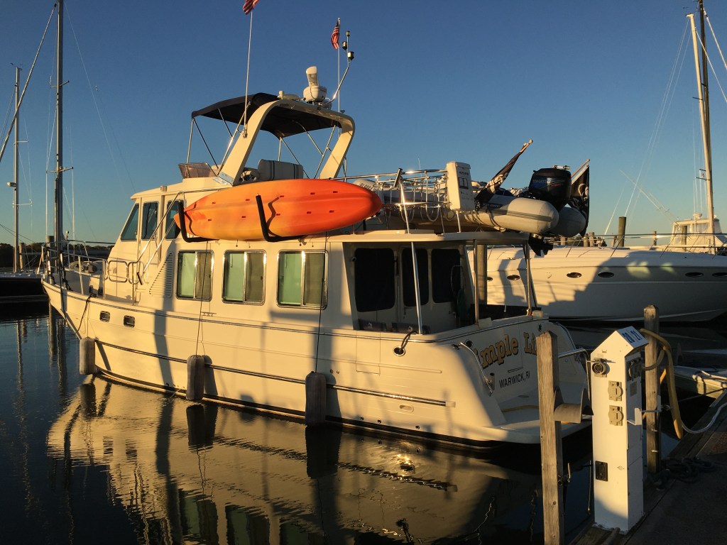
MV Simple Life docked in Branford, CT
We were greeted by a dockhand and spent some time chatting with the local boaters in the slip behind where we docked. We asked them to recommend a local restaurant within walking distance and it was clear that the crew of MV Simple Life were fans of Mexican.
The sun was just setting so we snapped a few quick photos before we set off to find Guacamoles restaurant.
Sunset
Sunset
Sunrise
Sunsets & a sunrise
Our walk to Guacamoles turned into an adventure and we stopped to checkout a few boats sitting on the hard. This large motorsailer was a cross between my last sailboat and my current trawler. A sexy beast she was.
Sexy Motorsailer
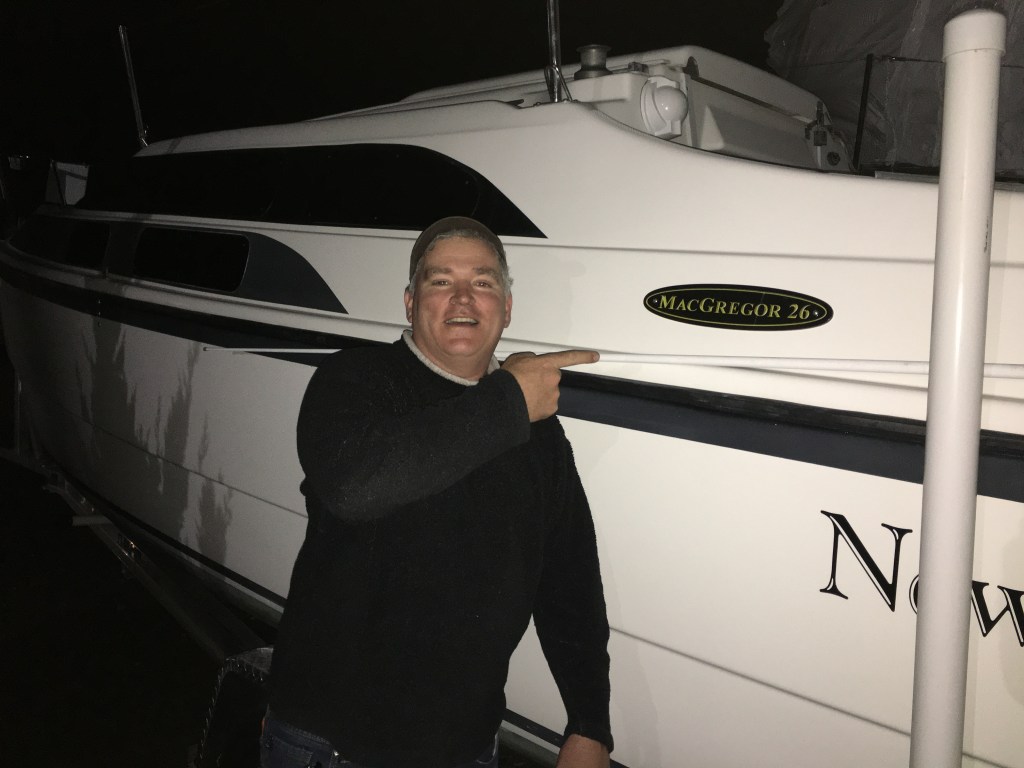
The next boat caught my eye for a different reason. It was the same model as my first sailboat. A MacGregor 26X. I always had a dream to become a sailor exploring far away islands somewhere on the globe. I had to start somewhere and the MacGregor was a boat in my budget. I smile when I think back on that boat and the good times that were had aboard.
Memories of my First Ever Sailboat
Seated at Guacamoles it was time for some table-side guacamole and Mariachi music.
Do we call this a Mariachi Band?
Renee & I posed for a quick pick before retracing our steps back to the boat and calling it a night.
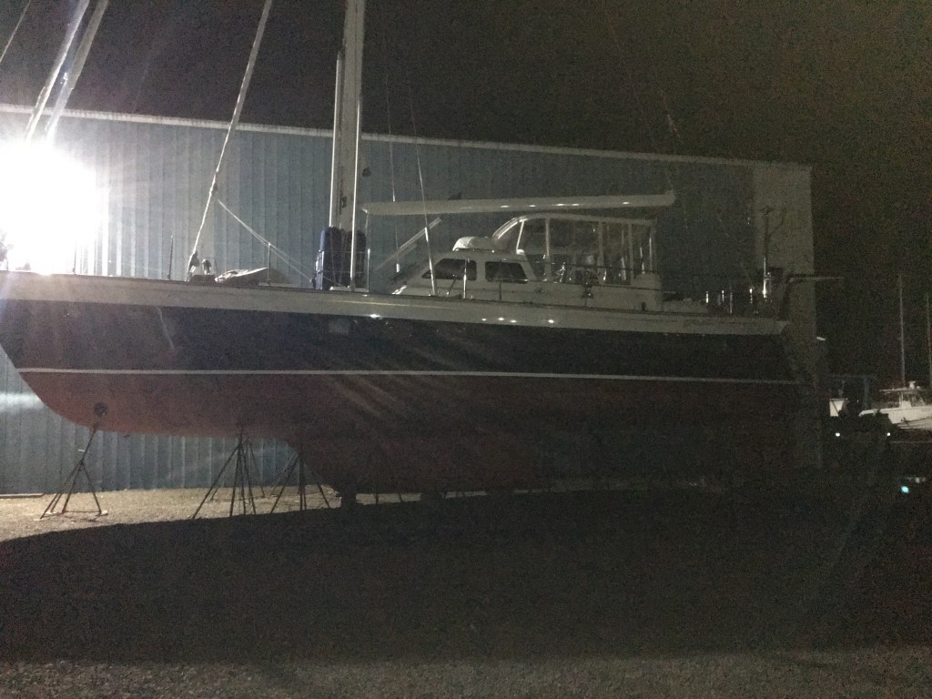
The next morning I stopped to checkout a Farr 50 that was without it’s mast. Nice looking cruising boat.
Next we fired up the diesel, put her in gear and pulled out of our slip. I snapped one last photo as we passed the fuel dock on our way out. Our next destination would be Port Washington on the other side of Long Island Sound.
We ended last winter season in the Abacos, Bahamas. It was an amazing experience to be able to spend so much time exploring the Abacos. When we heard that category-5 hurricane Dorian had made landfall on Elbow Cay in the Abacos we feared for the safety and well-being of the Bahamian people. Worse yet… Dorian seemed to stall out over Freeport in Grand Bahama Island.
Category 5 Hurricane Dorian over Freeport, Grand Bahama Island, Bahamas
Treasure Cay was our favorite spot in the Abacos and we were stunned to see that little more than the concrete bar top where we sat was left standing.
Destruction of all but the Concrete Bartop at Treasure Cay in the Abacos, Bahamas Condos lining the shores of Treasure Cay, Abacos
I have been reading all the Bahamas Facebook group posts and find it inspiring to see how many US boaters are making their way back to the Abacos to help with the reconstruction efforts. If it works out, I would be proud to join the Abacos support group.
This summer was very busy for me and I only got to take the boat out for a couple of weekend trips to Newport, RI. Thanks Preppy for convincing me to stop working on projects and get out there. The rest of the summer was spent on boat projects and family matters.
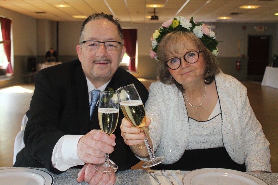
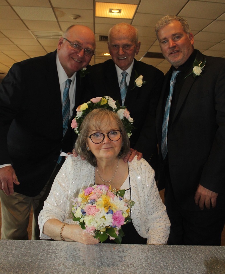
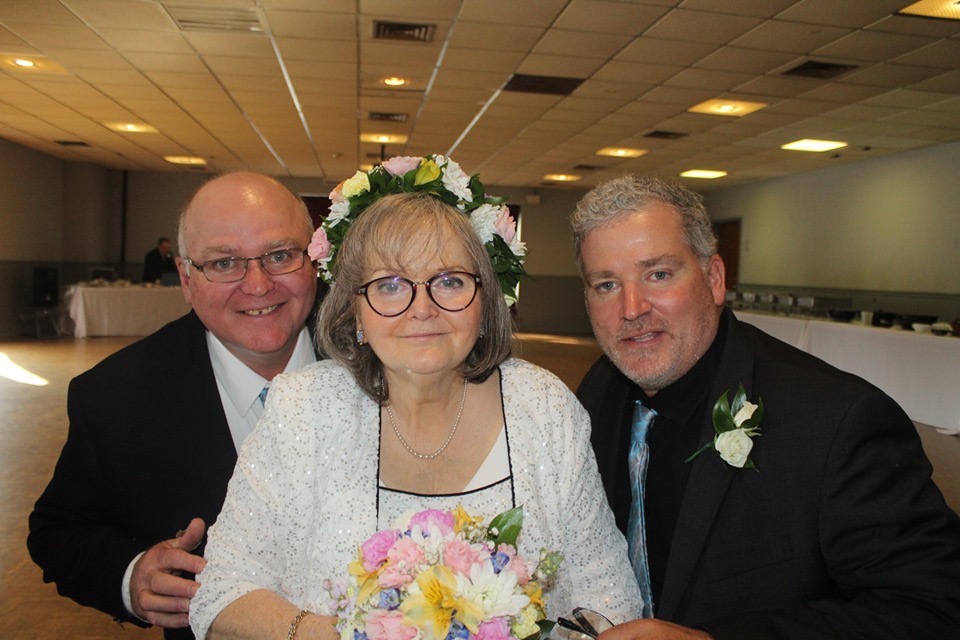
My sister got married to her boyfriend of many decades, Michael. They were kind enough to let me officiate their marriage. Just call me Father Mahty 😉
Bride & Groom
Bride and her Men
Siblings
John & Erin with the Bride & Groom
Michael & Me
Me & my Sis
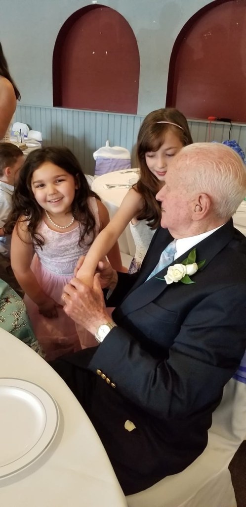
Nora & Gianna just can’t get enough of Gumpy
Doreen & the Girls
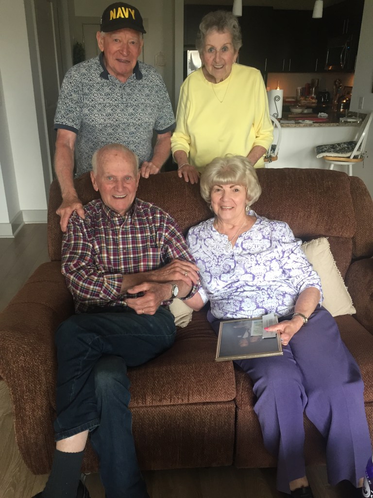
Seeing my family after being away all winter is something I look forward to.
Dad Made it to the Boat!
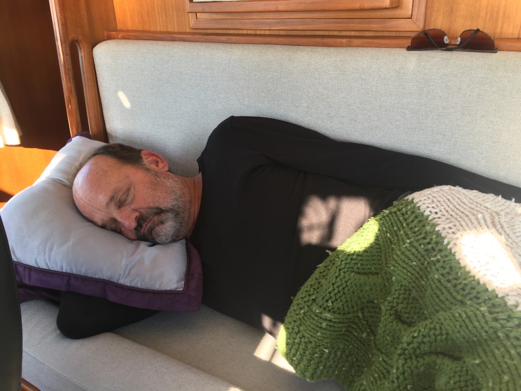
Whatever I’m sleeping
Where you at Dad?
This Couple Make My Trip South Possible
Dad and Me @ John & Erin’s Wedding Party
Aunts and Uncles
Spending the summer on the docks means lots of nights spent with friends.
Fishing with Friends on B-Dock
Bon Voyage Party (At least the remnants of it)
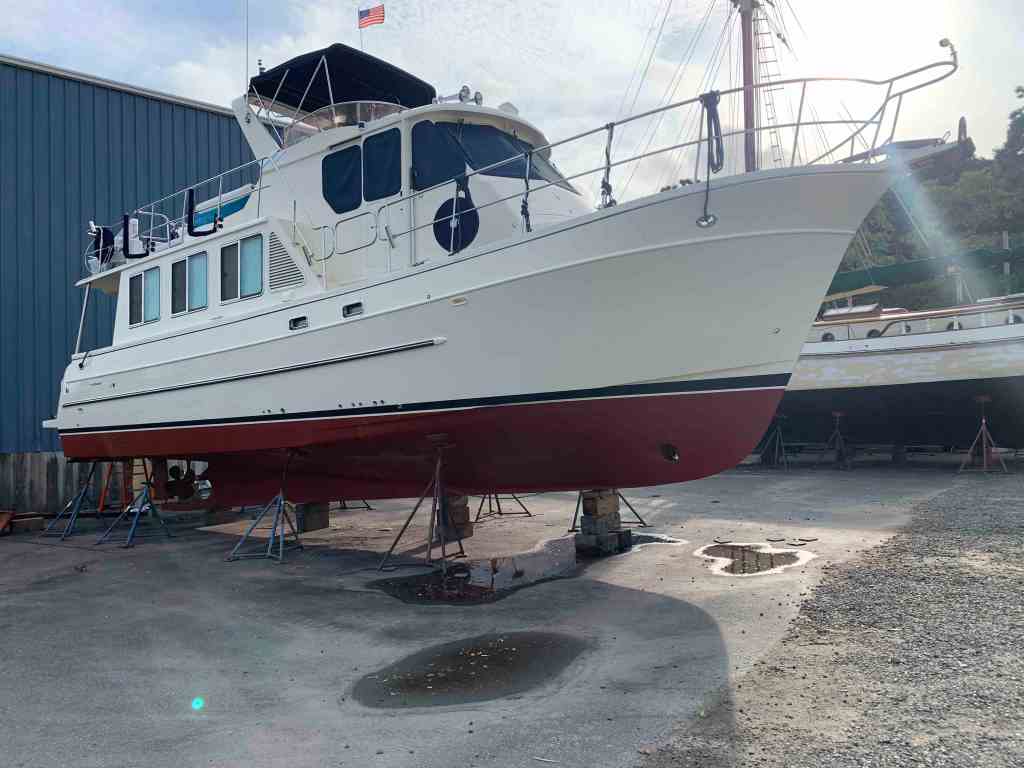
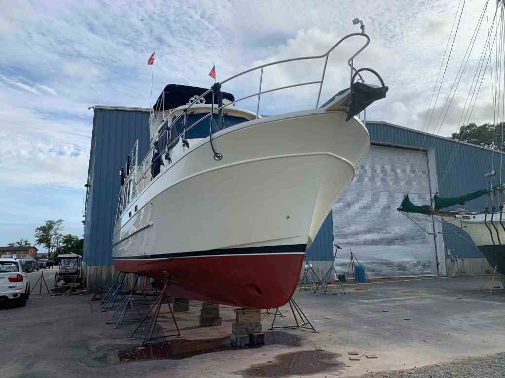
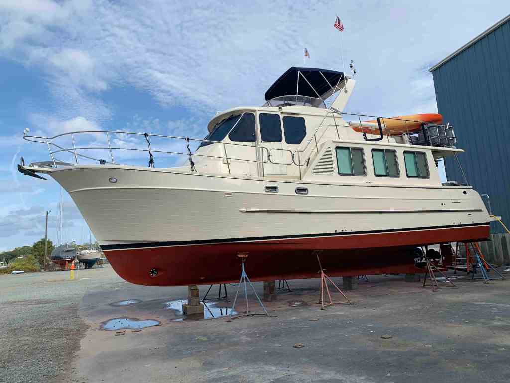
Preparing to spend all winter cruising somewhere warm means having the boat hauled and put on the hard for new bottom paint, zincs, and hull waxing. This year I was managed to get all that done is only 4 long days. Each night after the working long days under the boat, it was time to walk over to the marina fire pit and relax.
After being under the boat all day a fire & IPAs are just perfect
There is nothing like a clean bottom.
Now it was time to use the marine travel lift and splash her back in the water.
Fall 2019 Splash Down
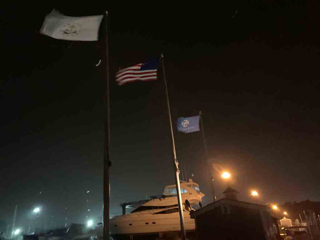
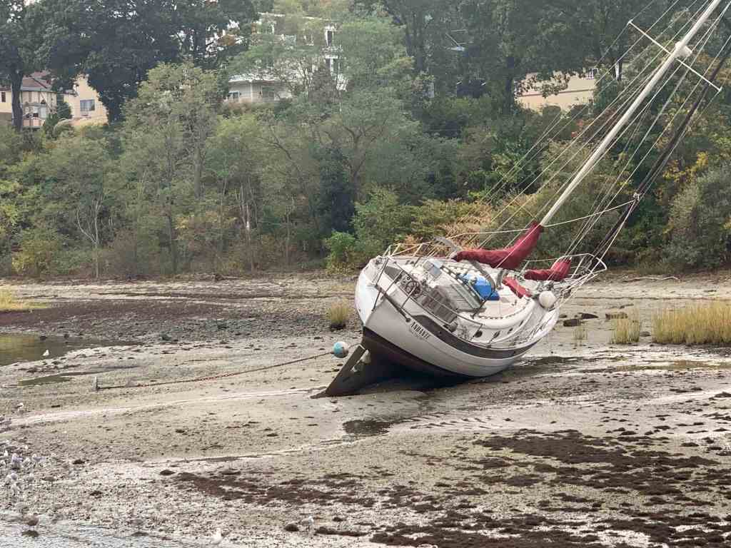
I got back into my slip just in time for a nor’easter that blew three moored boats in my marina ashore.
NorEaster
Marina Flags Are Out Straight
SV Andante Aground
SV Nepenthe Aground
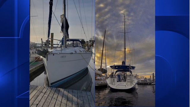
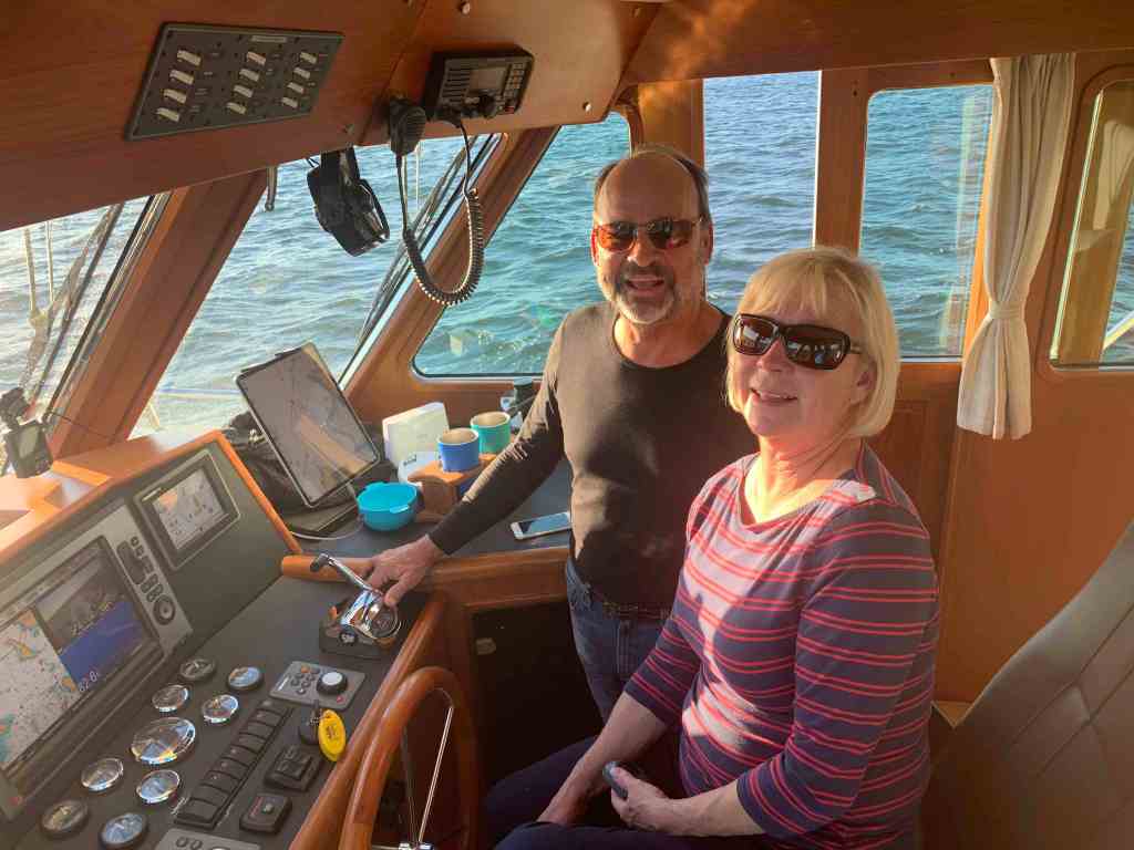
I will start off this winter’s cruise with friends and fellow cruisers, Buddy & Renee. They are long-time sailors and just fun to have aboard. They put their beautiful Tartan 44 on the hard and came aboard but before casting off. … we set out to celebrate!
SV Star Watch
Thai Excursions in Warwick, RI
McKinley’s Pub in East Greenwich, RI
Now the time has come to cast off the lines so stay tuned for the next post detailing the first leg of our odyssey.
Kelly & I spent some time in Marsh Harbour (3rd largest city in the Bahamas behind Freeport & Nassau). Marsh Harbour is every cruiser’s reprovisioning stop in the Abacos. We stocked up on the items that we needed and frequented the local restaurants by dinghy.
Marsh Harbour
Enter Susan
Kelly’s sister Susan was nice enough to plan some time off and fly into Marsh Harbour to join us for the week. It’s so nice to have visitors aboard. We picked her up in the dinghy at the Union Jack Public dock on Marsh Harbour and the sisters were all smiles.
Susan Arrives
We wasted no time setting out for as many islands and cays as we could hit in a week. First stop …
Treasure Cay
Marsh Harbour to Treasure Cay
It was coming up on high tide and we made the trip over at 8.5 – 9 knots with the hopes of finding a mooring ball inside the harbour.
Welcome to TC signageTC harbour actually locks the boats in with a cable at night so be careful if you attempt to enter after 10PM!
Success. We grabbed one of the dozen or so mooring balls.
Anchored in TC with Toys still on fly deck
The water is so clear you can see the mooring block on the bottom.
Be careful not to ding a prop on the mooring blocks
We craned down the toys.
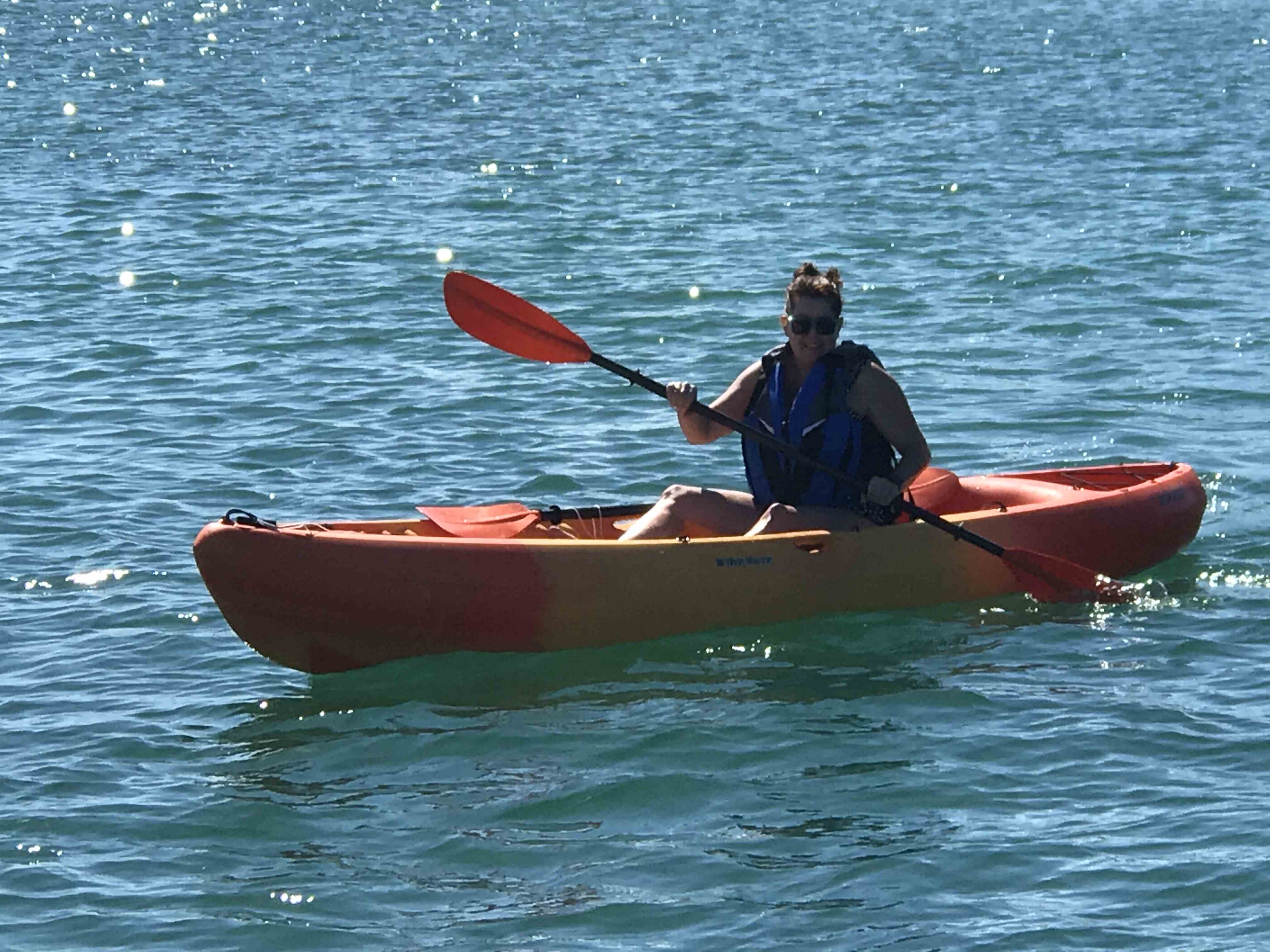
Kayaks were a new addition for the Bahamas
The girls wasted no time in trying out both kayaks.
Kayaking is hard work bring a cold drink
Paddling Susan
Sea turtle head
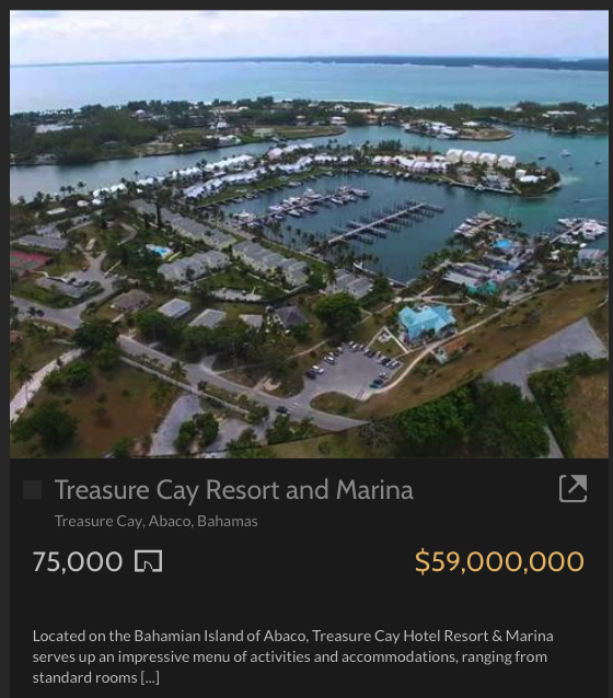
Treasure Cay Beach Marina & Golf Resort
A beautiful location and it’s for sale!
TC Marina
TC Homes
TC Marina Resort $59M
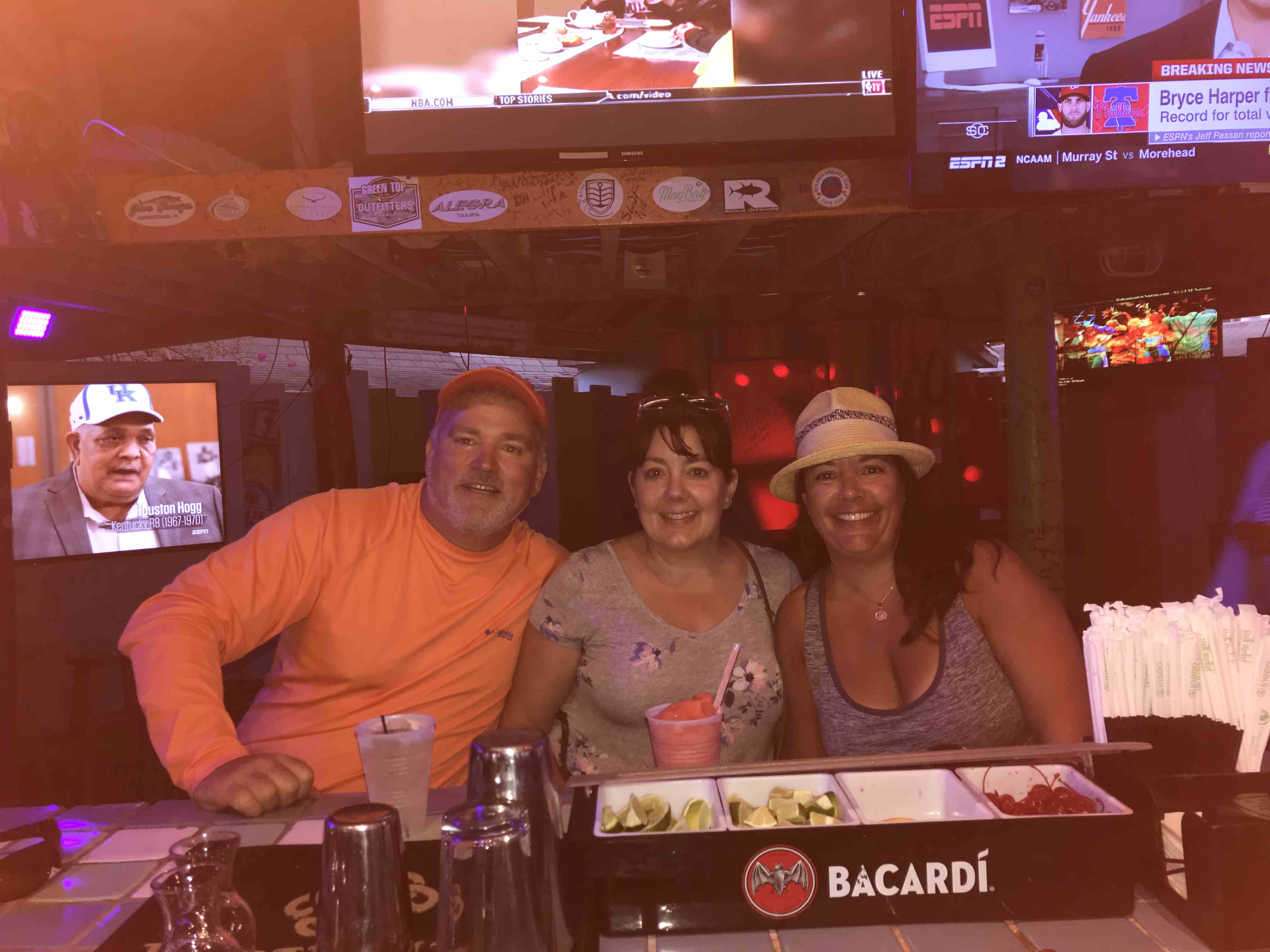
Tipsy Seagull
Frozen Drinks & Margaritas
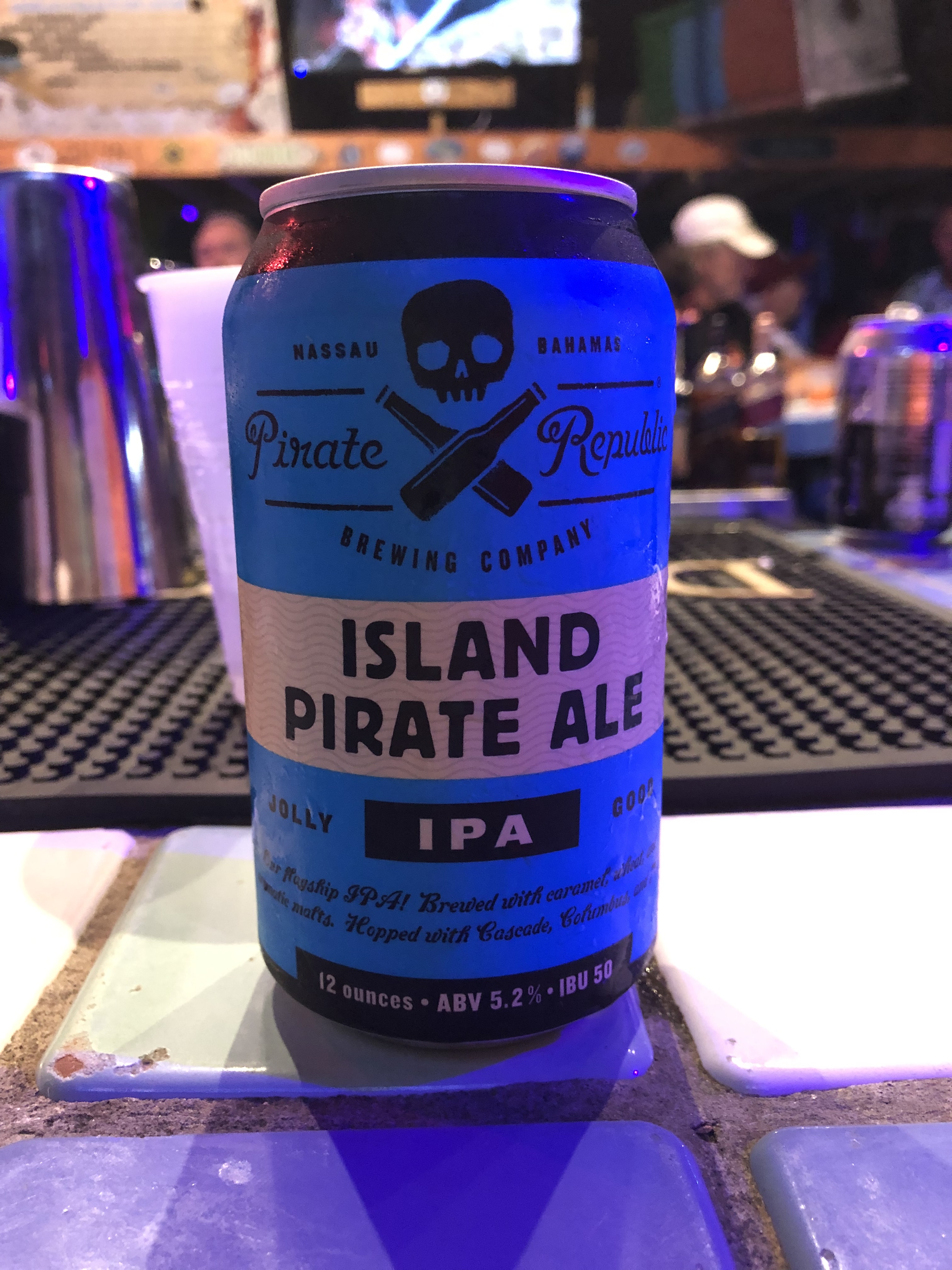
A local IPA!
Morgan Freeman’s Brother
Kelly swears this is a baby Godzilla
You giving me the stink eye?
Treasure Cay Beach
Treasure Cay has one of the top 10 beaches in the world so just a 1/4 mile walk and we had our toes in the sand.
Coco Beach Bar is here to serve you frozen drinks while you lounge under tiki huts.
Coco Beach Bar
CBB View
We spent two nights in Treasure Cay and I know why many spend their whole winters here. We had places to go so out the harbor’s entrance channel we went.
Sandy shoals encroaching on the channel
Sea of Abaco
Once in the Sea of Abaco you are just blown away by its beauty.
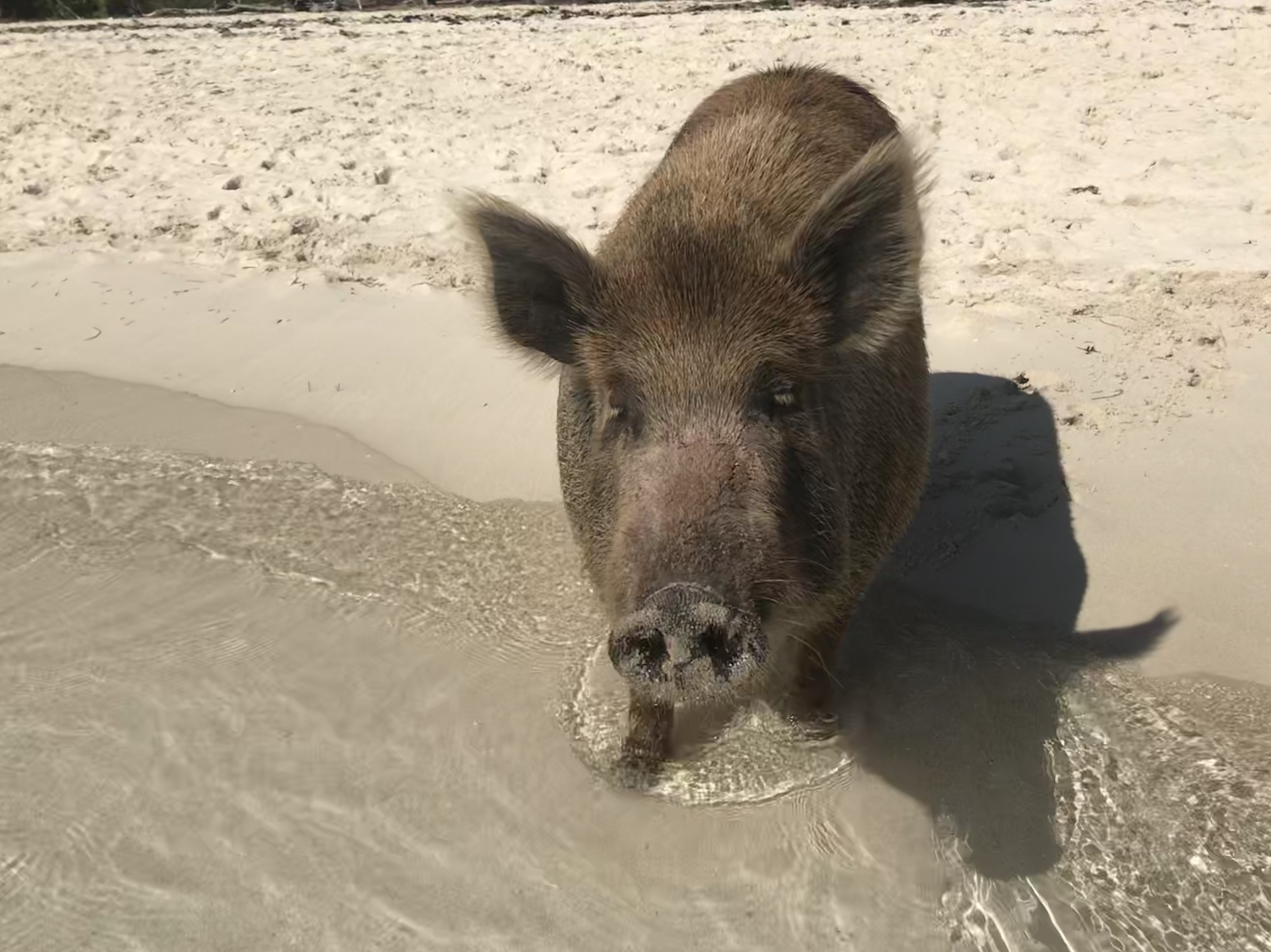
The seas were calm and we made our way through Whale Cay Cut and anchored off No Name Cay. Here we found others like us wanting to spend some time with the piggies.
Feed Me!
No Name Cay beach is beautiful and home to some friendly pigs and roosters.
We weighed anchor and headed right next door to GTC. We passed many boats anchored off GTC and proceeded into White Sound. The narrow channel opens up and there are moorings inside if you call Donny.
However, looking around the harbour it seemed a bit quiet and with a little investigation we quickly learned why all the boats were anchored outside the harbor next to the town of New Plymouth. Out we went, dropped the hook with the rest of them and dinghed our way into the public dock in New Plymouth. We walked the narrow streets following the sound of a saxophone humming out some jazz.
Soon we tucked between the rock jetties of West End, hailed Old Bahama Bay Marina for temporary dockage while we cleared in through customs.
The water inside West End Harbour was cloudy but had a beautiful green color.
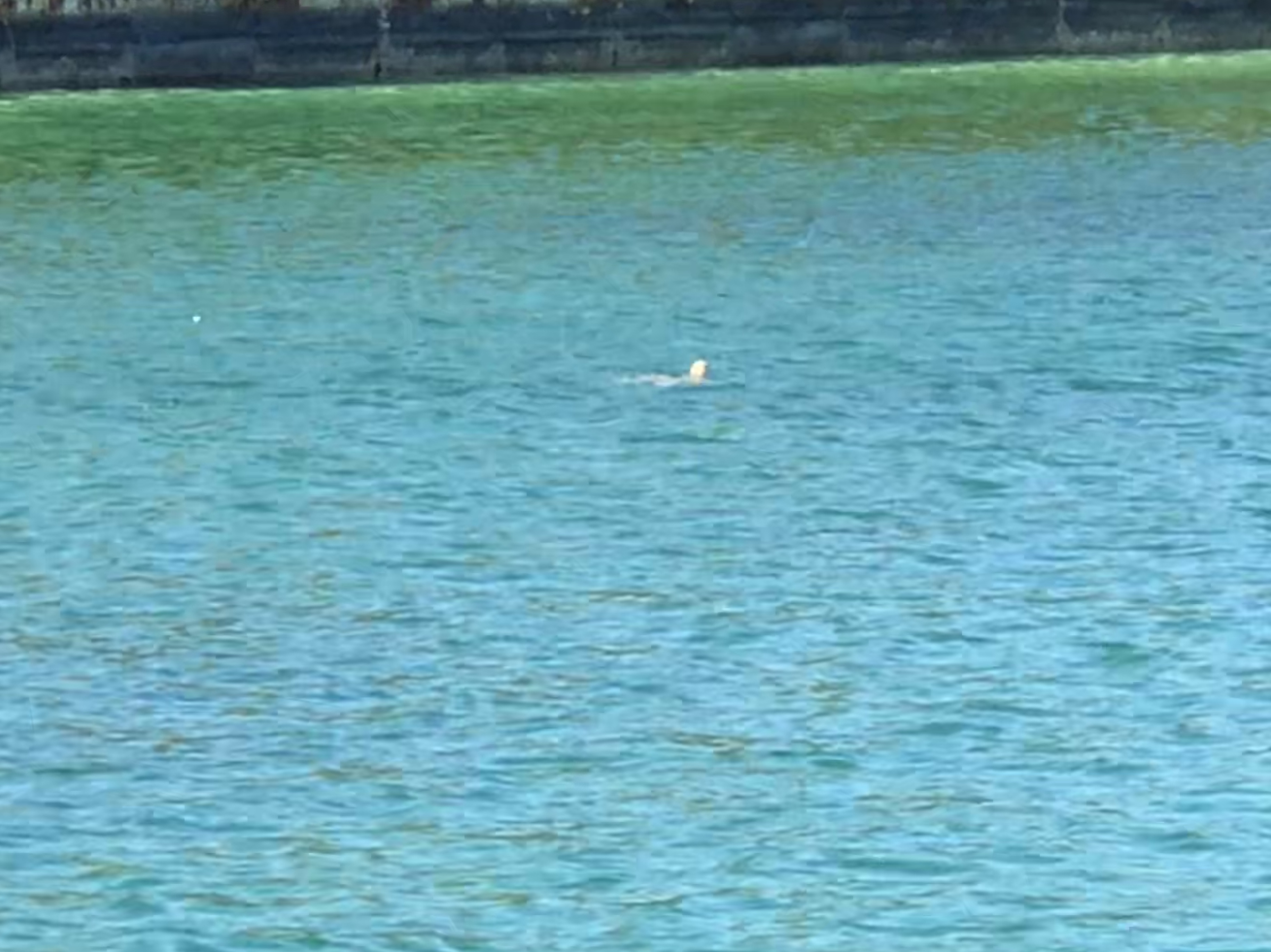
There was a 10 foot long shark in this photo but I snapped it a moment too late as he swam beneath the murky greenThings appear from the green as the come up to the surface.
We had our yellow quarantine flag & Bahamas courtesy flag flying when we arrived in Bahamian waters. Now docked, only the captain is allowed to leave the boat to checkin at customs. The customs officers were very friendly and helped me sort through the required paperwork & $300 USD yacht entrance fee.
I first got the desire to sail after graduating college. I had dreams of dropping out of life, buying a sailboat, filling it with beer & Campbell’s soup and sailing away. Some 23 years, 3 sailboats and a trawler later we are finally realizing a dream. Time for some selfies in West End.
All smilesYellow building behind us in the West End customs office
Old Bahama Bay marina is the only dockage in West End and a private party bought many of their slips. They were not able to offer us dockage so we had to use the remaining daylight to run to out the breakwaters of West End, around Indian Rock and use VPR (Visual Piloting Rules) to navigate to Mangrove Cay for the night’s anchorage.
Out of West End, around Indian Rock and onto the Little Bahama Bank.Exiting West End
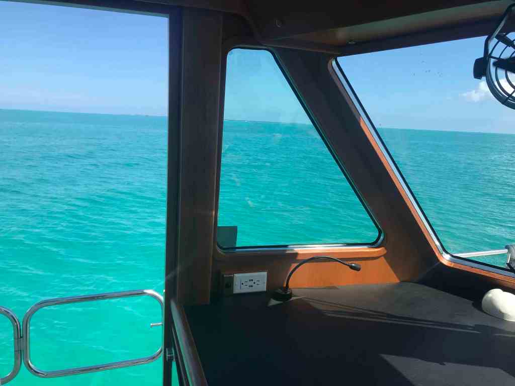
Crossing the Little Bahama Bank is like nothing I’d ever experienced.
The water is so clear you can see everything on the bottom. Where the blue sky meets the green ocean is captivating.
Emerald GreenBeautiful day
When you pay for your cruising permit it include a Bahamas fishing license so we wasted no time in trolling lines. Kelly caught this amberjack and was quick to return it’s freedom by throwing it back in the water.
Amberjack?
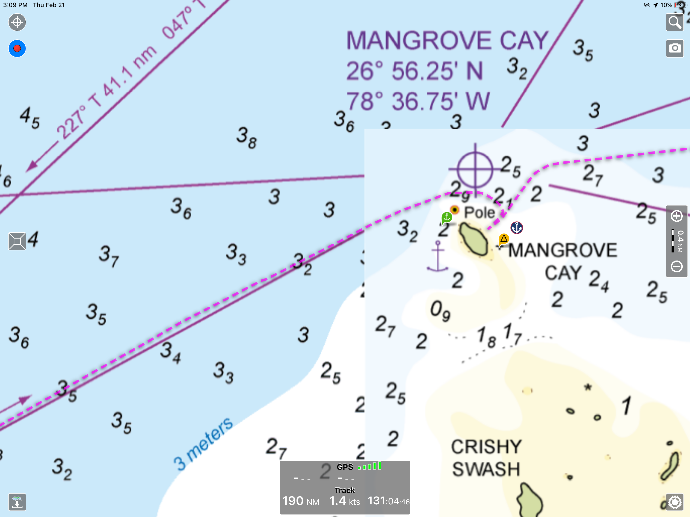
Soon we arrived at Mangrove Cay.
Mangrove Cay Anchorage
We anchored for the night as the sun was setting over Mangrove Cay.
Sunset at Mangrove CayUnderwater lights work great in the clear waters
We slept late and made the short trip to great Sale Cay the next afternoon.
Great Sale Cay anchorage on the Little Bahama Bank
Then it was on to Crab Cay for another night on anchor.
Crab Cay Anchorage near Little Abaco Island
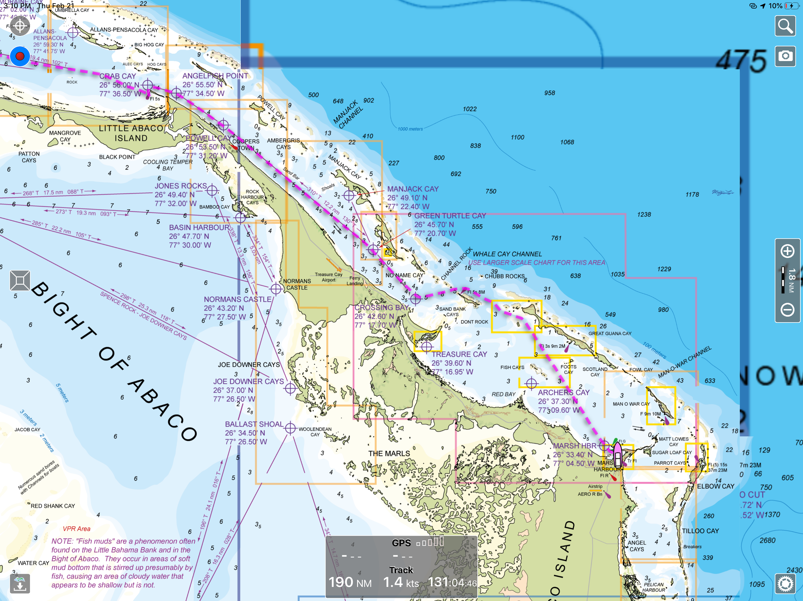
Our last trip was to Marsh Harbour where we will await a guest who is flying in for a week visit aboard MV Simple Life.
Arriving in Marsh Harbour we found the anchorage to be quite full and had to squeeze into a spot that was just deep enough for our 4’10” draft.
Our trip down from Vero Beach yesterday looked something like this.
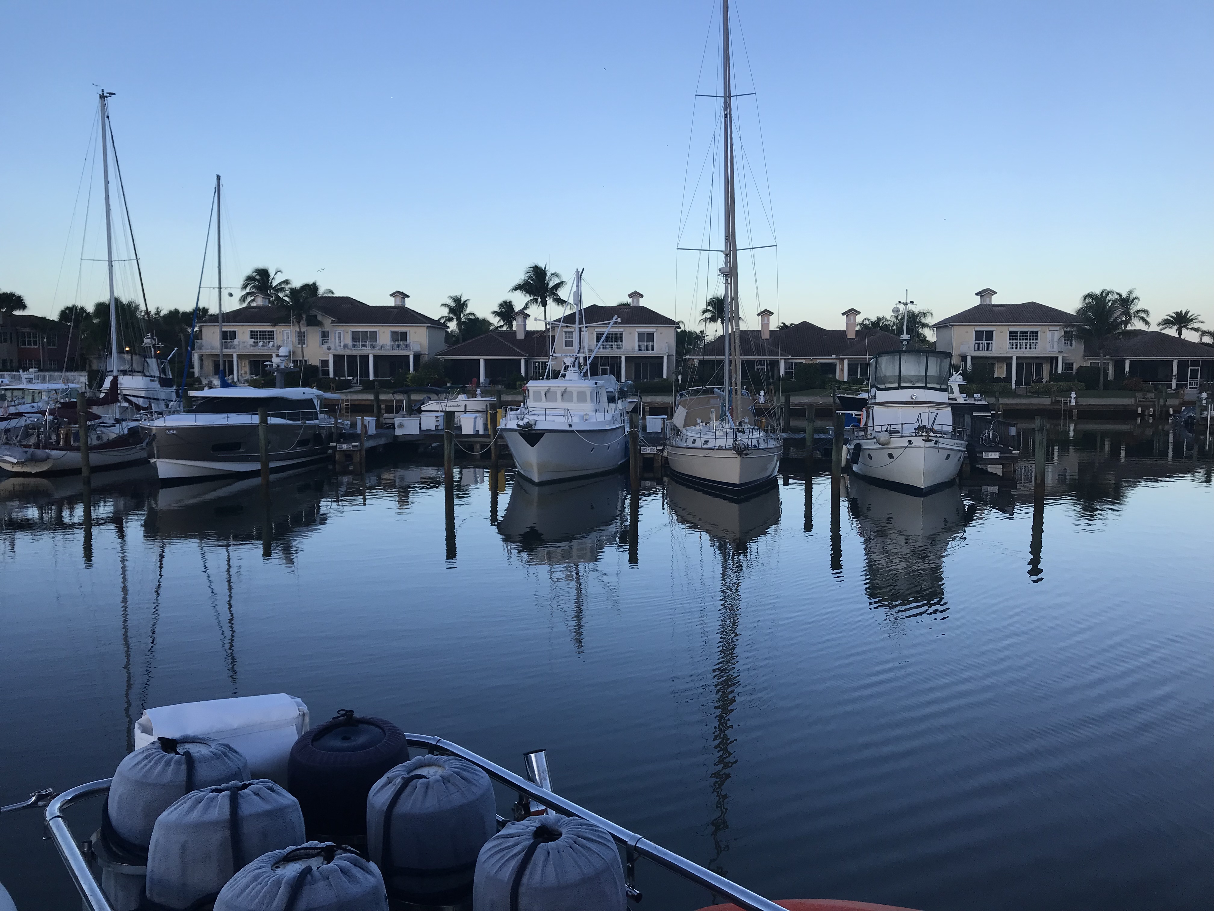
Leaving the Marina
We left around 7AM as we had 60 miles to travel to our planned anchorage. After pulling out of our slip we put her in neutral to take a 360 degree view of the marina.
Looking back at our empty slip and friends Yachts
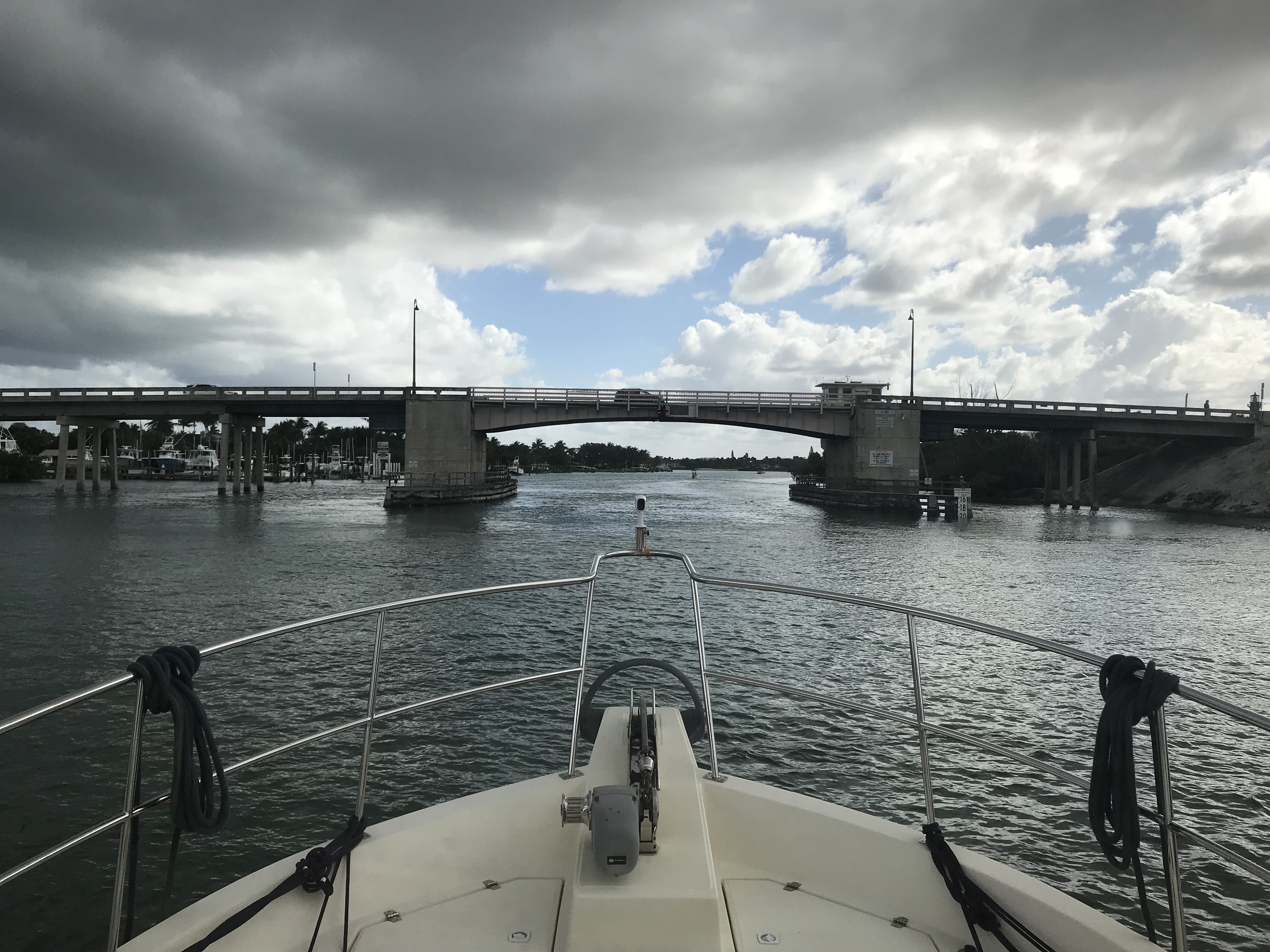
Trip Down the ICW
Low Bridges
One of many low bridges we ducked under
Duck
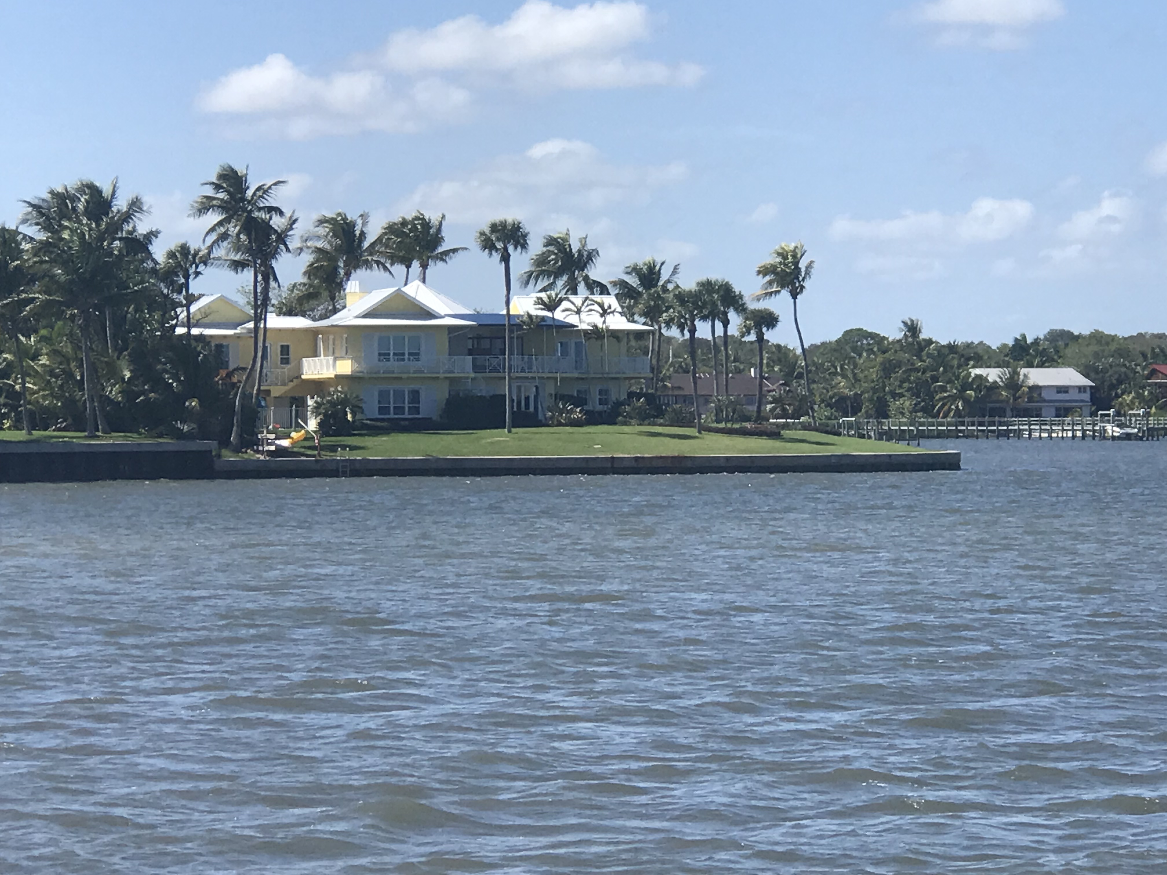
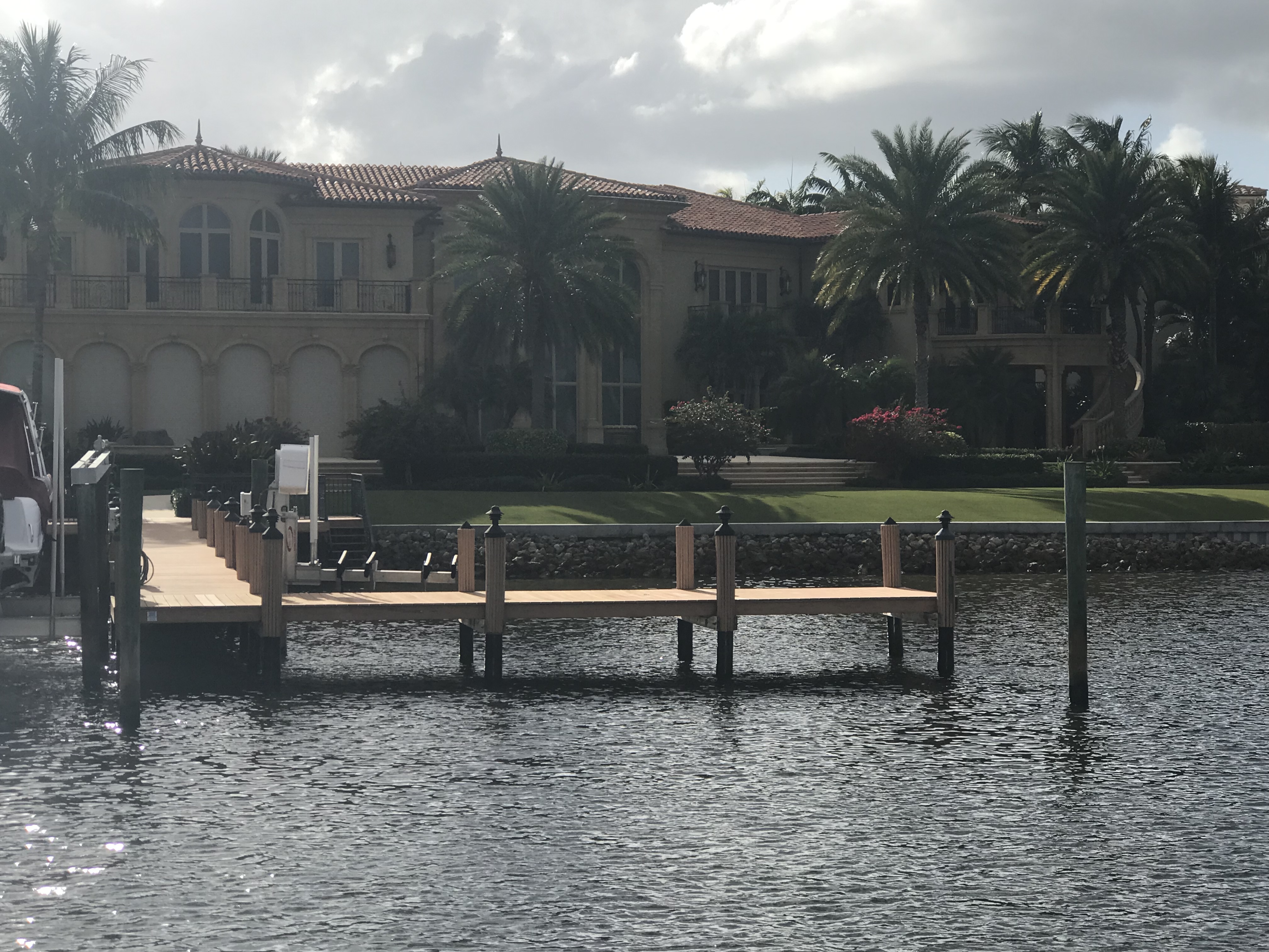
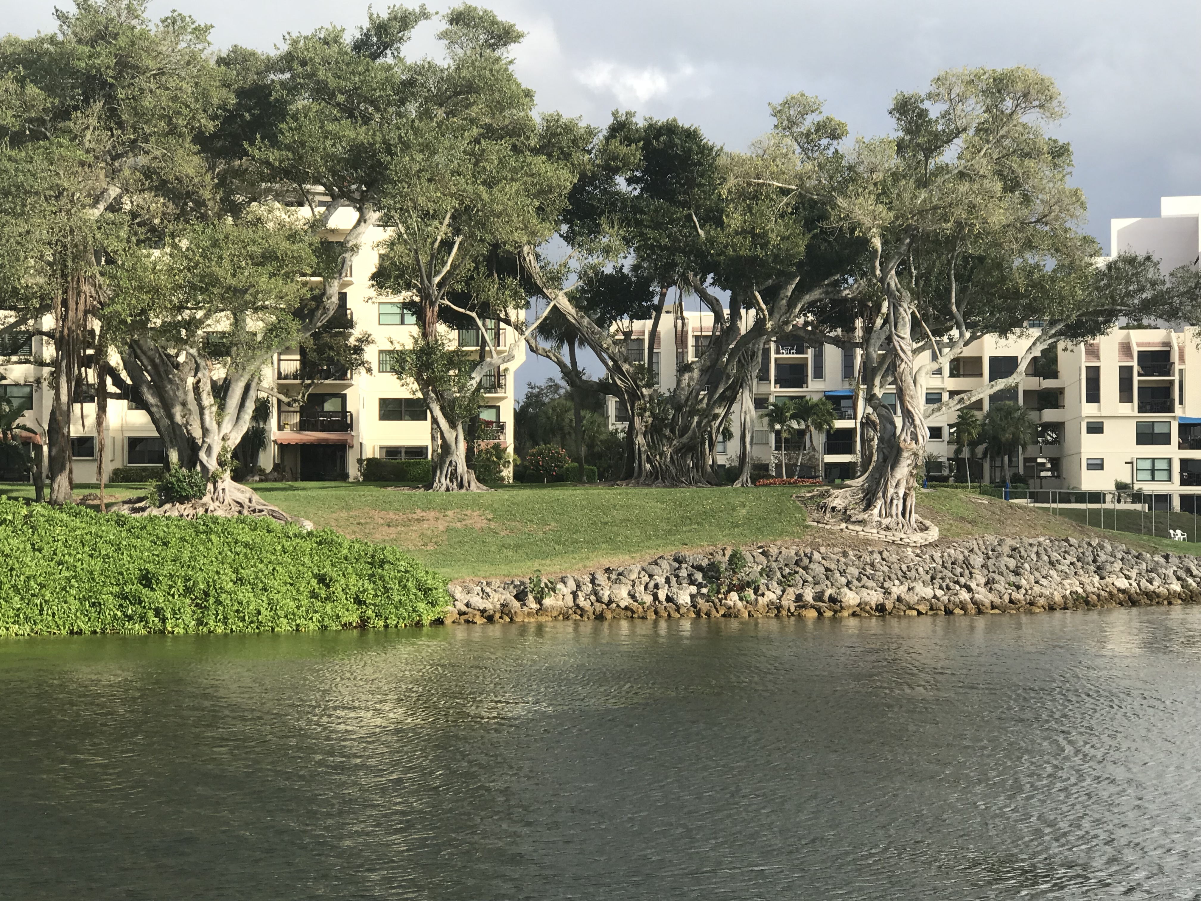
Beautiful Homes on the ICW
Beautiful
Corner lot
Beautiful palms
Yacht is longer than their home
Perfect lawn
Humble abode
Cool trees
Anchorage
Our anchorage for tonight
Happy & Brody are loving the sun on the cockpit grass
Moonrise pics are hard from a moving boat
Listening to the Counting Crows from the cockpit
Bahamas Bound
Tomorrow’s 4AM departure for West End Grand Bahama Island
Our route down from Titusville to Vero Beach looked like this.
Route leg from Titusville to Vero Beach
Suntex Marina
We booked a slip in VB’s Suntex Marina for a week. The plan was to install the watermaker and fans for the Bahamas. The install was taking me longer than expected so when we went to add a second week, we learned that a two-week stay cost the same as a month. When the month ended and I was making probably my 6th Uber ride to Lowe’s to buy more needed plumbing & wiring parts, we added another two weeks, oh wait … make that another month! That’s why we like to call it “Velcro Beach”!
Friends
During our time in Vero Beach we enjoyed visiting friends and making new ones.
Marty, Kelly, Jim and LoriRiverside CafeKelly, Marty,Lori and JimLori, Terry, KellyDoreen, Kelly, Pam, Marty and EddiePam, Eddie, Doreen, Kelly and Marty
Watermaker Install
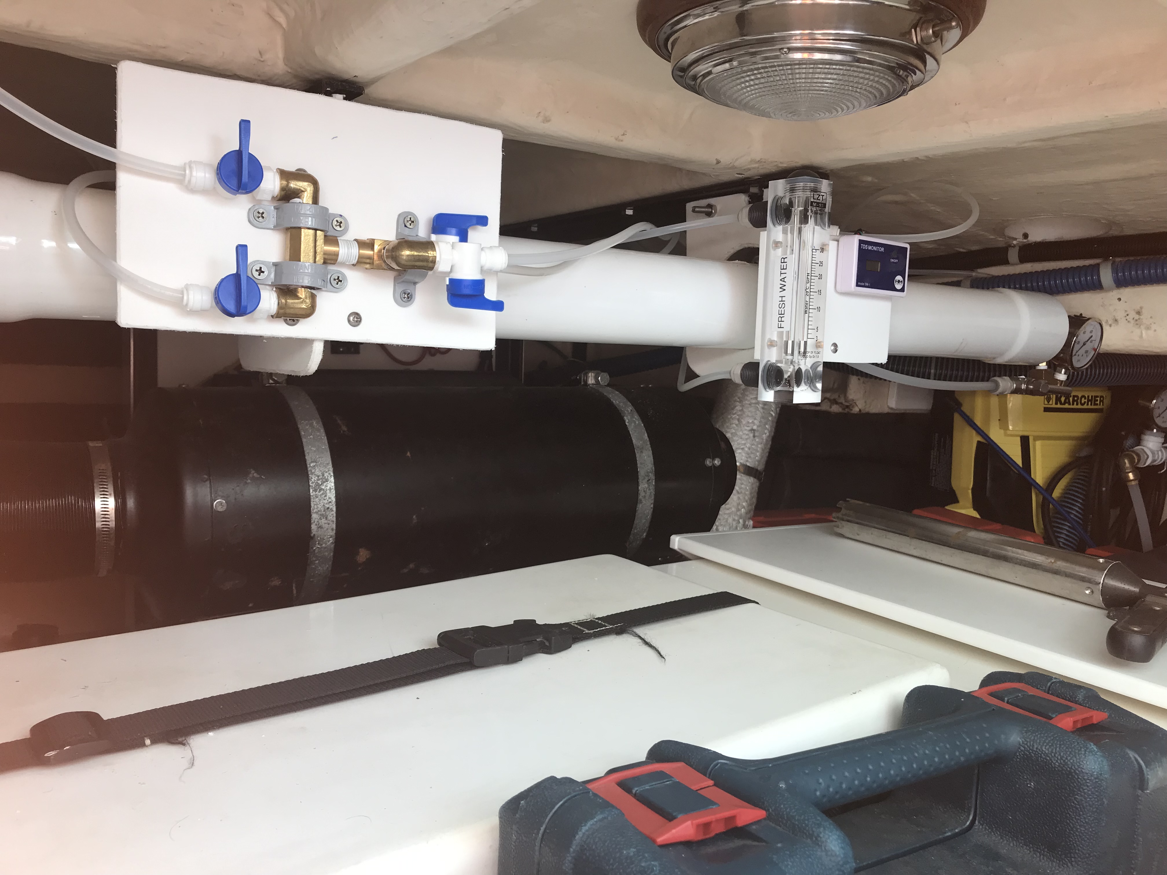
The watermaker is a nice addition if you plan on spending lots of time in the Bahamas where water can cost upwards of $0.50 / gallon. More than the cost is the convenience of being able to fill our 440 gallon water tanks while on anchor. Now how do we install a diesel maker onboard?
Watermaker high pressure pump is an actual pressure washer that uses the water to cool the electric motor20 micron then 5 micron filters incoming seawater. Carbon removes chlorine when flushing system with municipal waterProduct water flow meter, total dissolved solids meter. High pressure gauge and pressure vessel end-cap.Flow and TDS meters mountedCheck valves keep saltwater and fresh from mixingProduct water manifold to send fresh water to either tank or the swim platform for filling water jugs for other boatersComponents mounted using starboard brackets onto pressure vesselPressure washer body strapped in placeHigh pressure gauge with pressure adjustment knob
Other Purchases & Install Projects
Electric Receptacles with built-in USB charger portsThermacell to fight off the no-see-umsHatch fanCabin fans – 4 in Master, 2 in guest, one in head, 2 saloonChairs lashed to cockpit bulkheadThermacells for each side of cockpit
Satellite communication device to text while out of cell rage as well as track our location
We awoke to the sound of rain hitting the topsides of the boat. We weighed anchor in the rain and it poured for the next few hours.
Morning Ride leaving Fort Matanzas
We passed these hearty Jeepsters camping in the rain.
Myself, I prefered to tent in the dunes at the beach
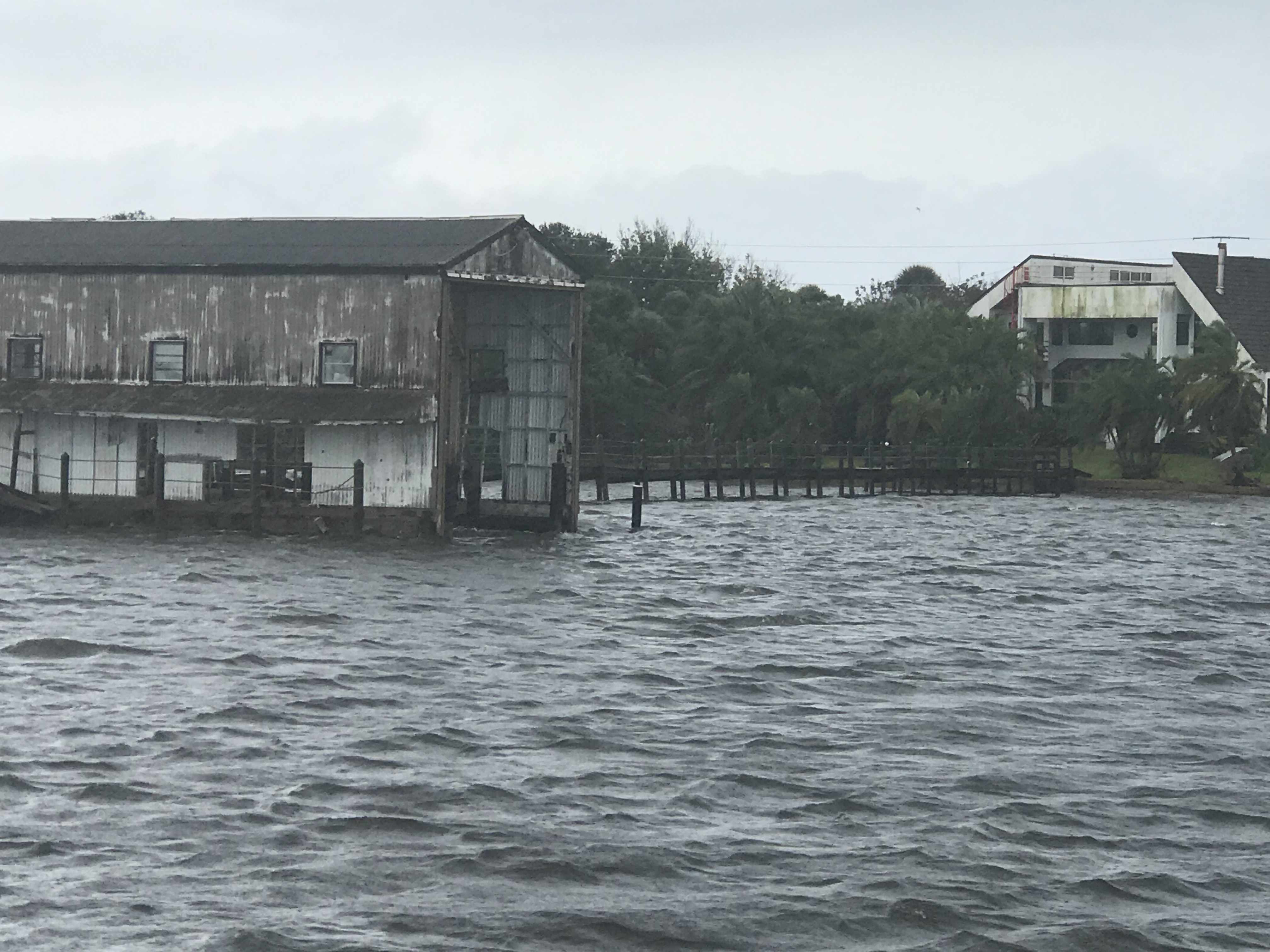
The weather just hung over us all day. It did not help that we were motoring South, straight into the thick of it.
Rainy Day
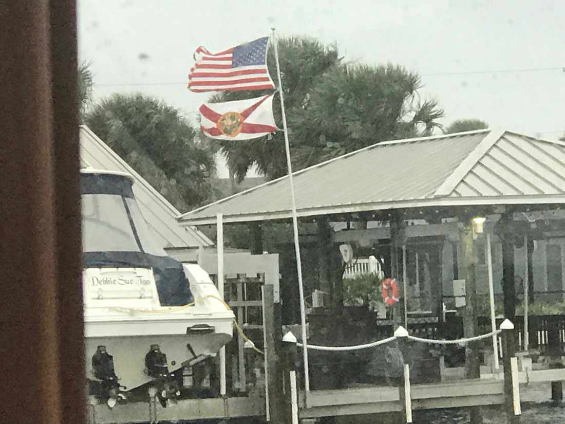
The wind was on our beam and listing the boat to port. You can see the flags are flying out straight.
Flags are a flying
We passed two sunken sailboats and an aground catamaran.
Sunken Sailboat 1
Sunken Sailboat 2
Catamaran on anchor aground
This guy wins the award for the largest boat house on the ICW today and also the most dilapidated boat house. I wonder how it’s even still standing after some of the storms?
Dilapidated Boat House
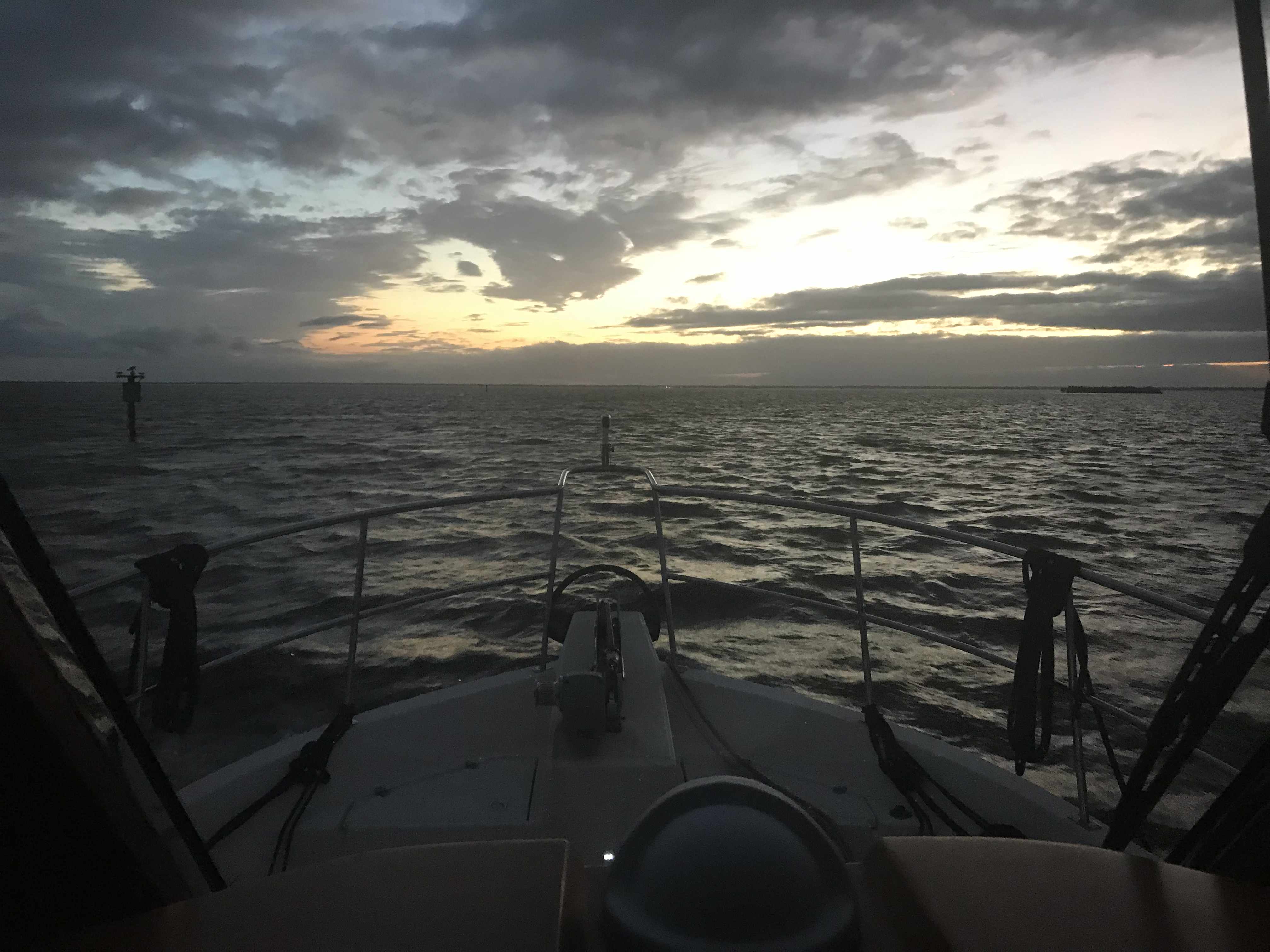
We still had a long way to go if we were going to make Titusville, FL and the sun had just set.
Sun has retired for the night
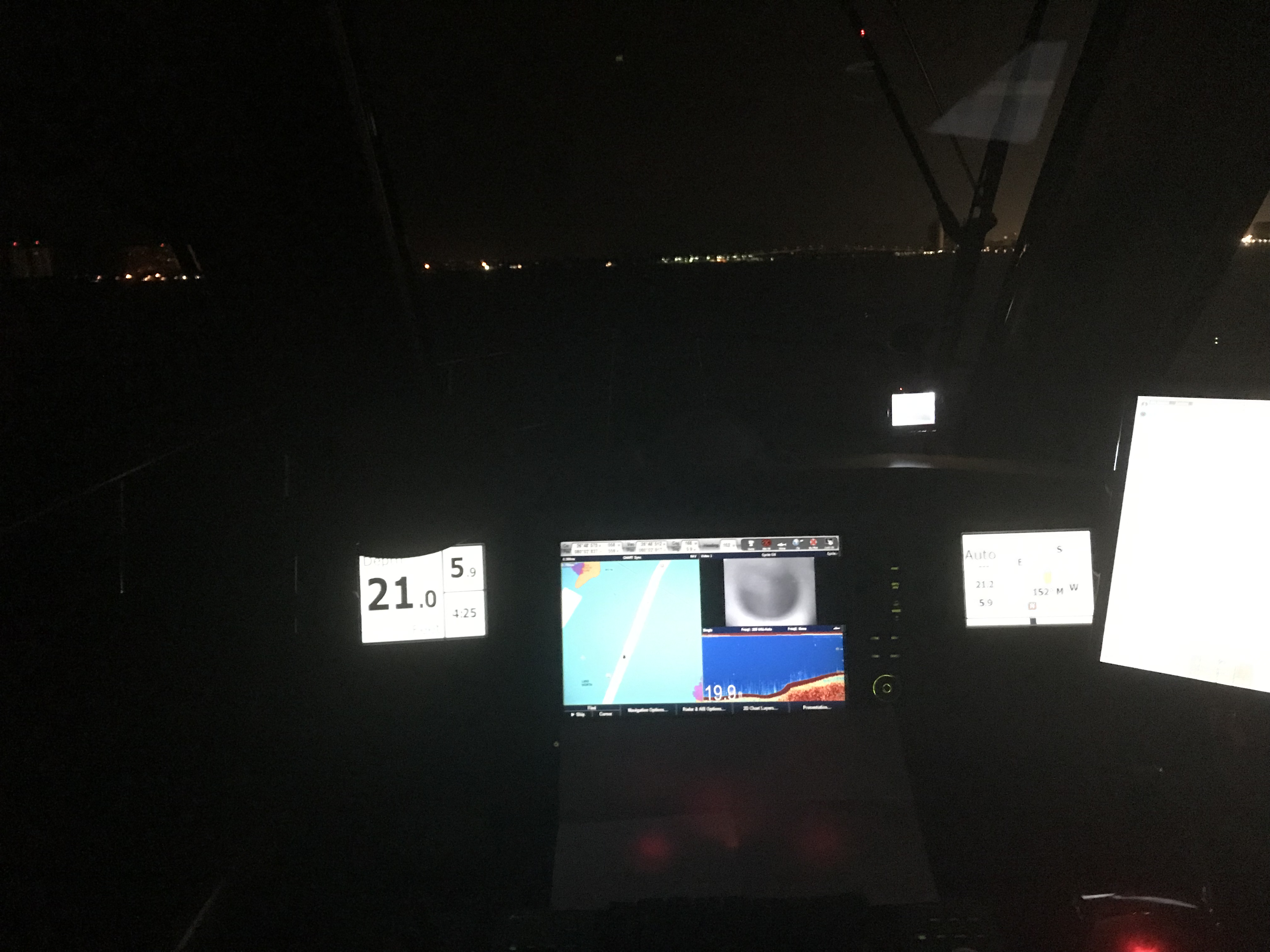
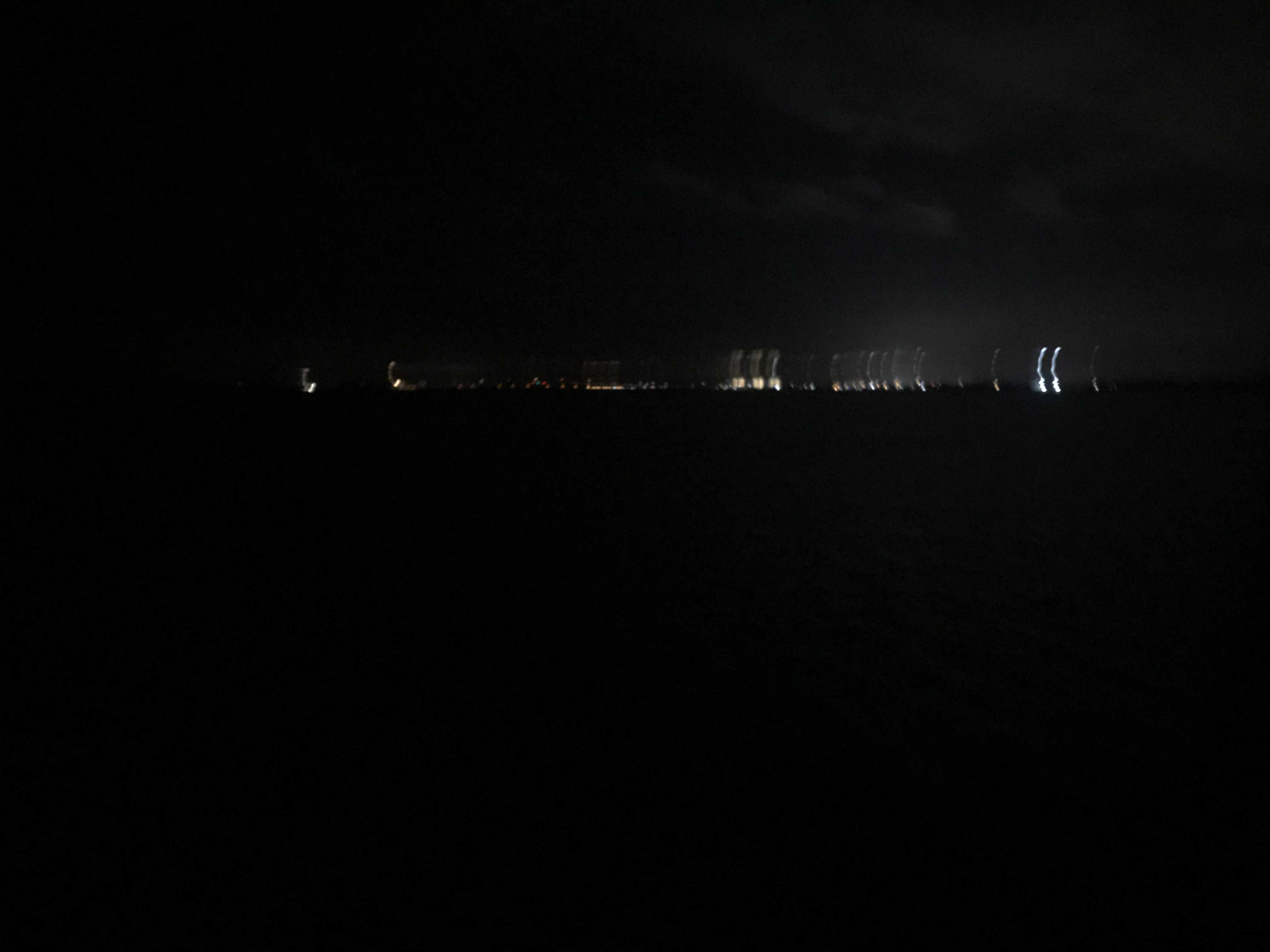
We kept on into the night while Kelly cooked an amazing steak tip dinner while underway. We may be pulling 10-12 hour days at the helm but we are eating well. Soon we picked a spot to anchor which was tucked in a corner between land and a railroad bridge. A bit shallow but well protected for a good night sleep. It’s very dark with only a thin waxing crescent moon but you could see the distant lights of Titusville.
Distant Lights of Titusville, FL
Today’s leg of our journey looked something like this finger drawn route.


You must be logged in to post a comment.